
Unlike the first and third days of the hike, we were able to start our day under our own power on day two. We left Riverside B&B and re-traced our steps from the day before, up Green Road towards Glendalough. Derek took many pictures of this historic location and if I get some will post them.
After checking out Glendalough we got back on the Wicklow Way and, as we hiked up and up, looked back to see the Upper and Lower Lakes from above (see above photo).
The weather on day 2 was pretty much perfect all day, except for the bracingly energetic wind. And just like day 1, the world through which we walked was magical.


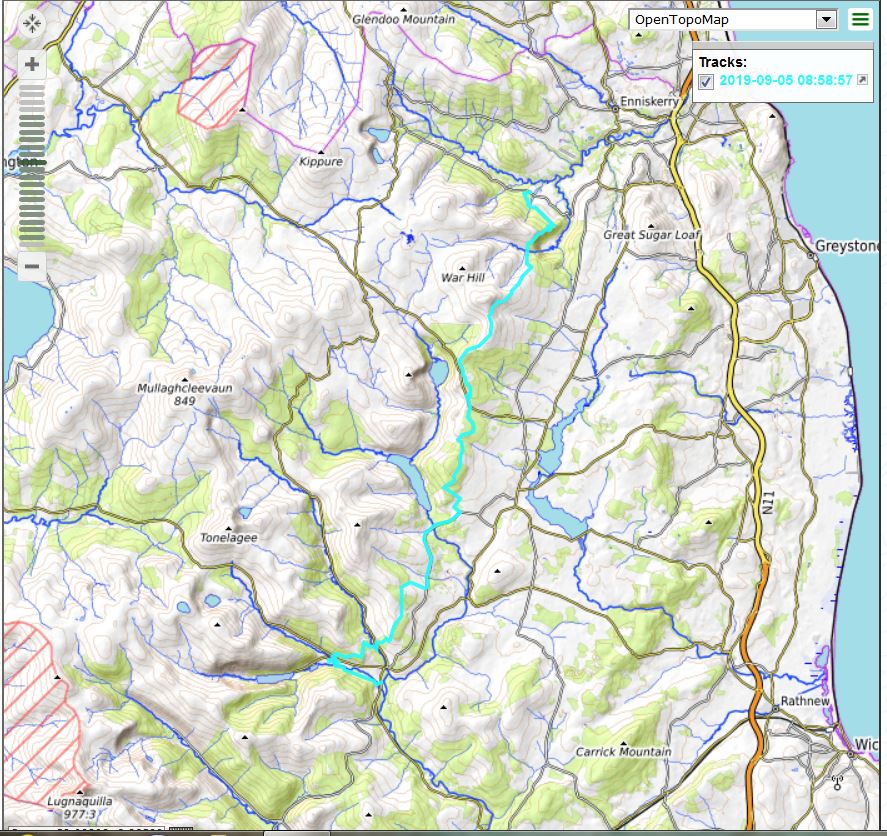
Here are our topo and Google Earth tracks from day 2, which landed us at Coolakay House, another outstanding B&B, in Enniskerry:

Speaking of the Coolakay B&B, after we settled in, Derek grabbed the Garmin and took a walk on the property – it includes a working sheep farm – to a nearby prominence from which he enjoyed a great view. I didn’t join him because, having done 19.5 miles that day and being 67 years old (we added mileage at the start of the day by detouring to Glendalough) I thought it best to sit back. Here is the Google Earth view of Coolakay and vicinity:

Another day of steep ascents, steep descents, moderate-to-level trail and roads – just a cornucopia of hiking experiences, truly a day to remember.
We had taken a taxi from the Crone Car park to the B&B and the same taxi brought us back the next morning so we could begin day three of our Wicklow walk.