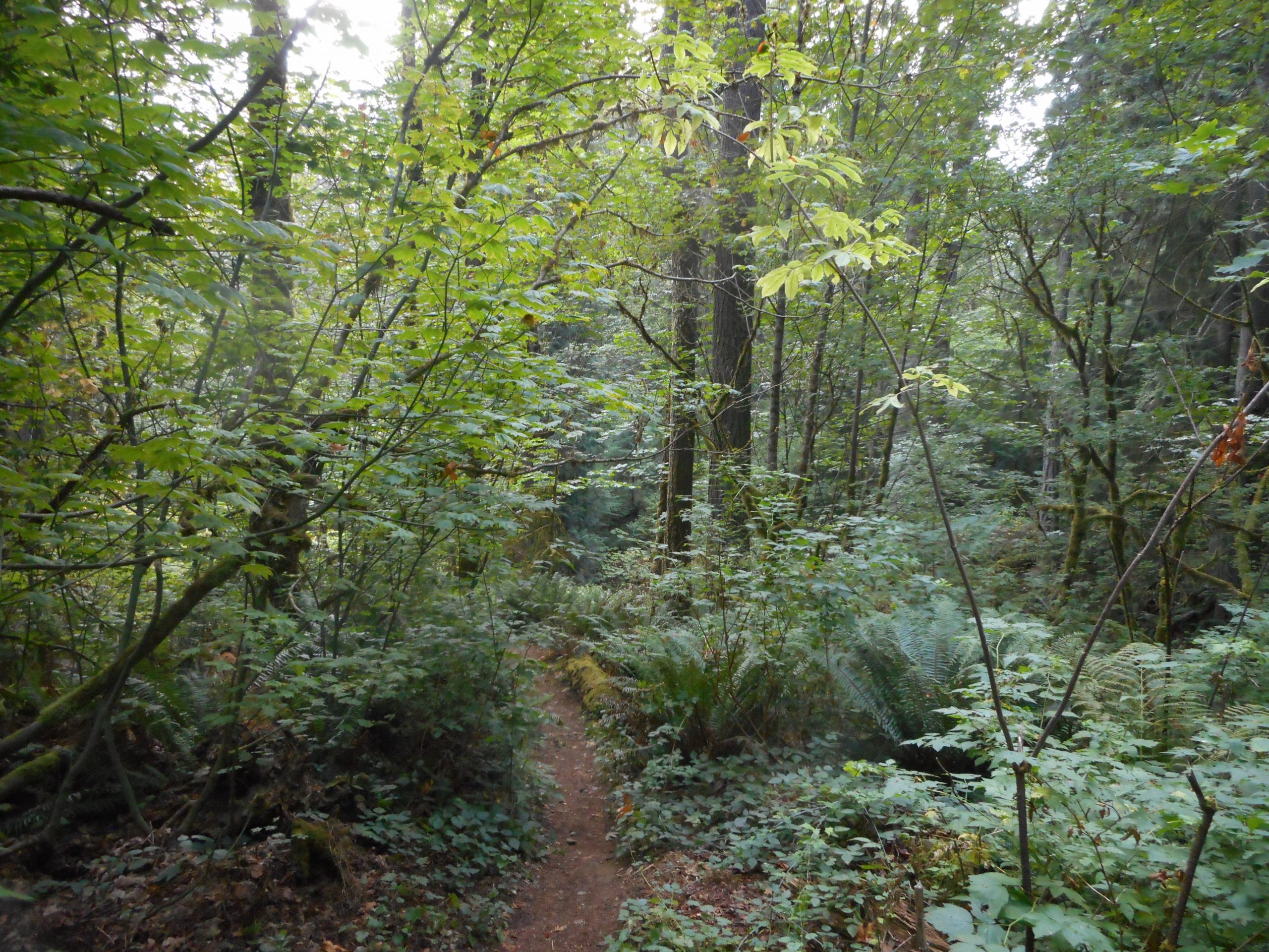
After our breathtaking outing on Friday to Crystal Peak I did a solo hike this morning on the east side of Squak Mountain. I parked on Bush St. just off Issaquah’s main drag (Front Street) and I only went to the little spur trail that leads down to what I learned is the wealthy, splendiferous neighborhood of Sycamore.
Only about 4 miles, a bit of elevation gain but not a biggie. I hope to get out again on Tuesday and I am thinking about checking out the “old” Mason Lake Trail.
Derek and I hiked to the summit of Crystal Peak today. What a fabulous hike!
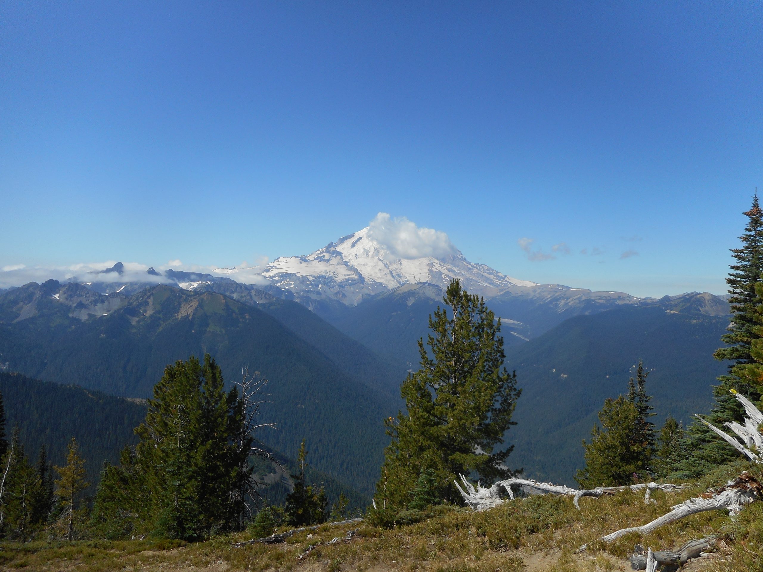
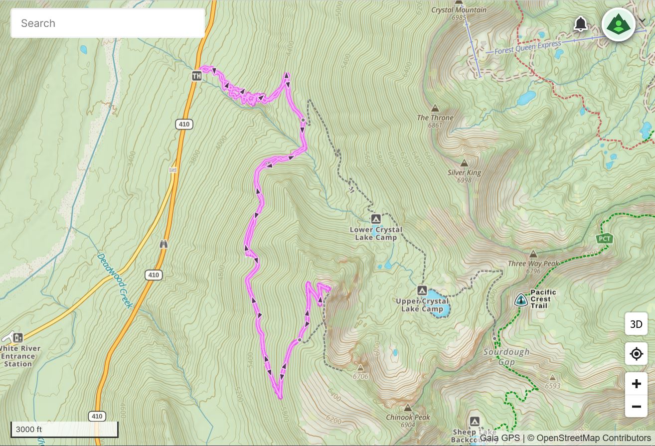
Driving down, it was raining hard enough that I had to turn on the wipers. Clouds. Rain. I was bummed, since this hike is all about the amazing views. As we got closer to the trail head, though, the sun came out and it was beautifully sunny the entire way, which was just a tad under 8 miles round trip.
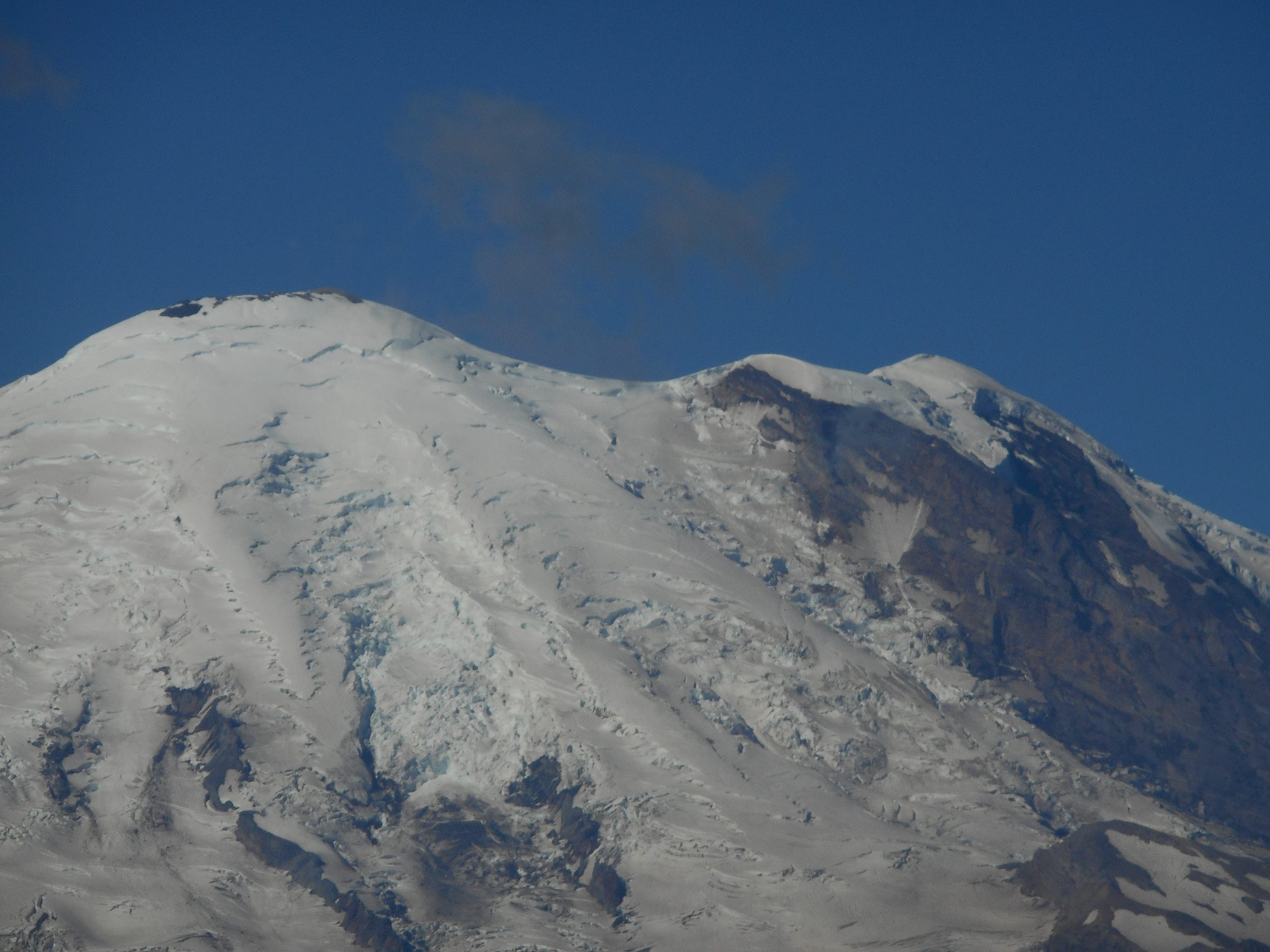
Crystal Peak is just across the valley from Mount Rainier, the tallest peak in the lower 48. On the way up there are a few views across the valley. At one point we thought we could see what looked like a trail through the snow on Rainier. I zoomed the camera get a closer look:
Trail on Rainier
On the map of Rainier there appears to be a trail right where we thought we saw a trail so I think that, if we bring our good binoculars, we just might be able to see some Rainier mountaineers. (although I think they generally start their summit push just after midnight, to have the best snow conditions)
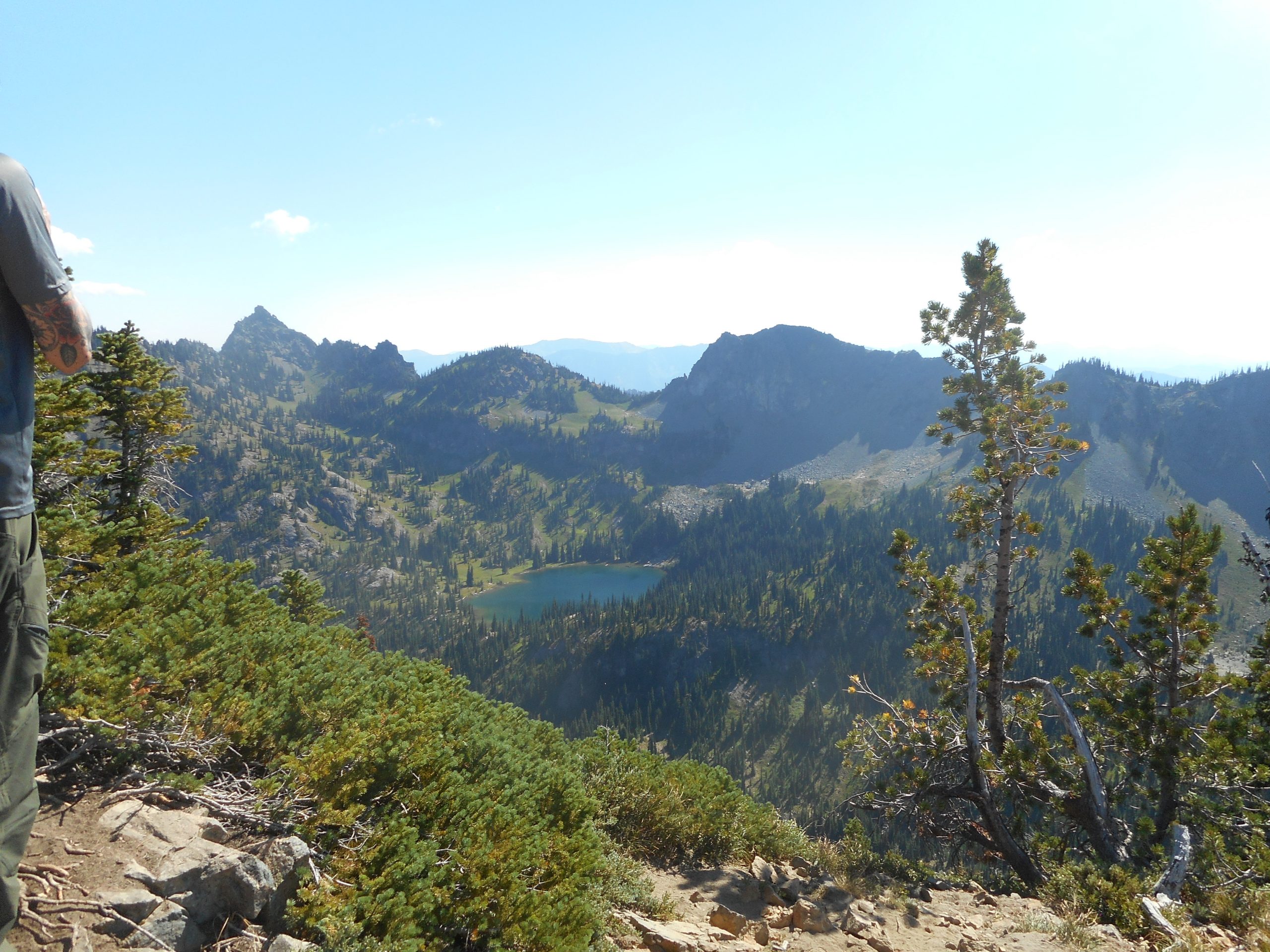
The summit of Crystal Peak is spectacular. You can look down on the Crystal Lakes and Sourdough Gap, a famous point on the Pacific Crest Trail (it runs from Mexico to Canada):
Upper Crystal Lake/Sourdough Gap
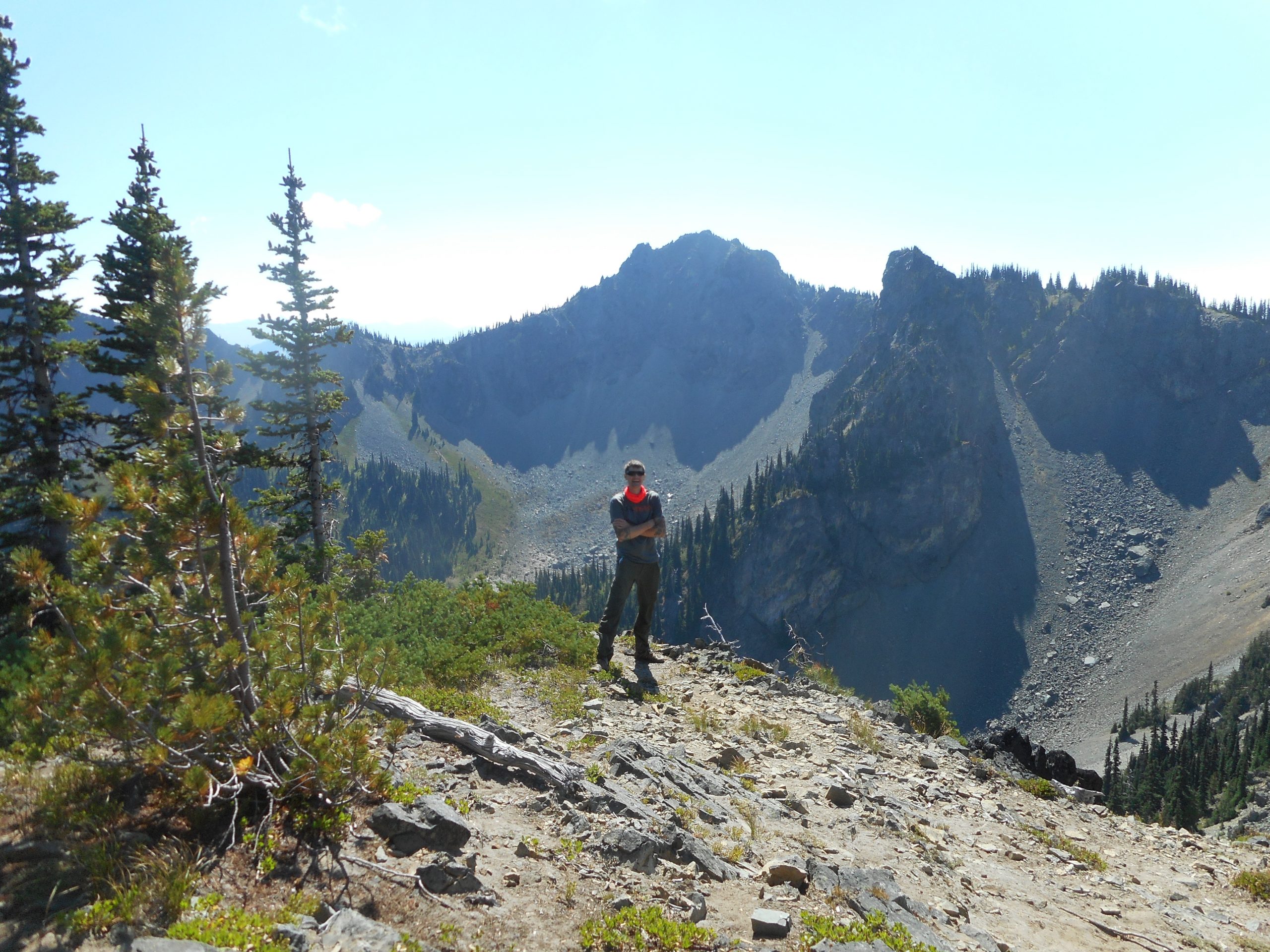
The near neighbors look inviting and here is Derek standing a few feet from the edge of a cliff:
Derek Near a Cliff
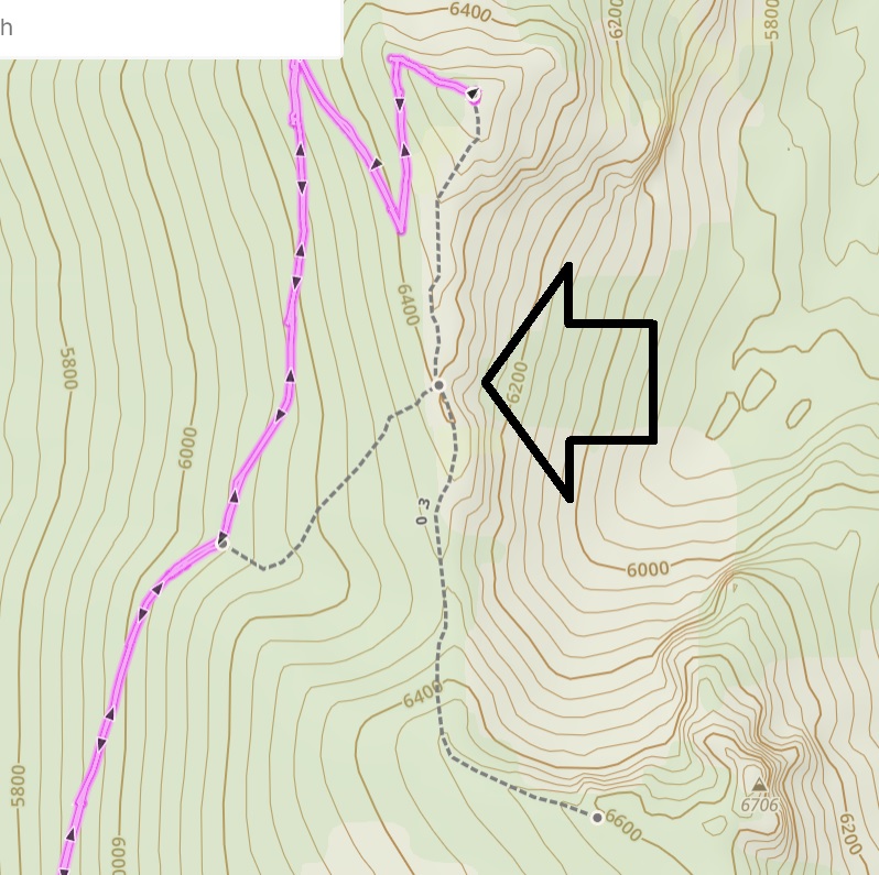
We spent quite a while on the summit, overwhelmed with the beauty of the place. And Derek did a little exploring. He thought he found a trail leading down from the summit over to the nearby Point 6706 and connecting to the Crystal Peak trail. Here is a close-up of our track on the summit and I have pointed to the trail Derek did in fact find:
A Trail For Us to Explore
On the way down we found what we are pretty sure is the intersection with this trail. We just may come back and give it a try.
A terrific workout, spectacular views, a Friday well spent.
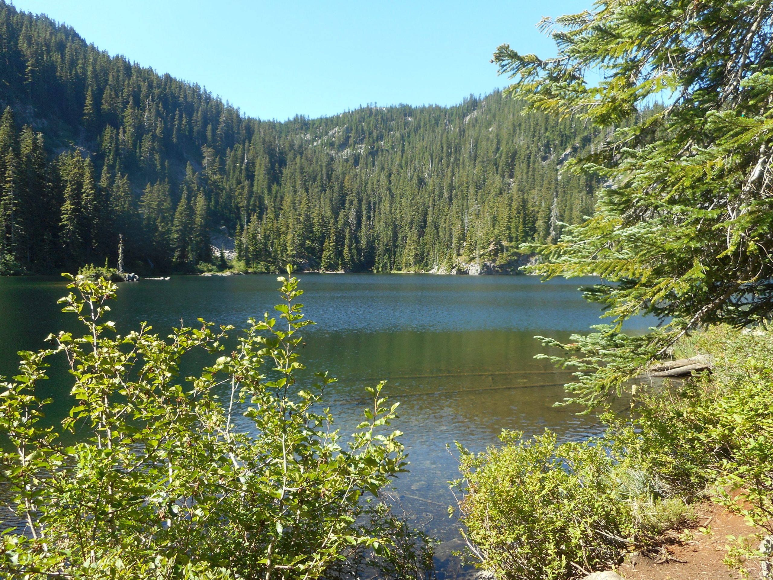
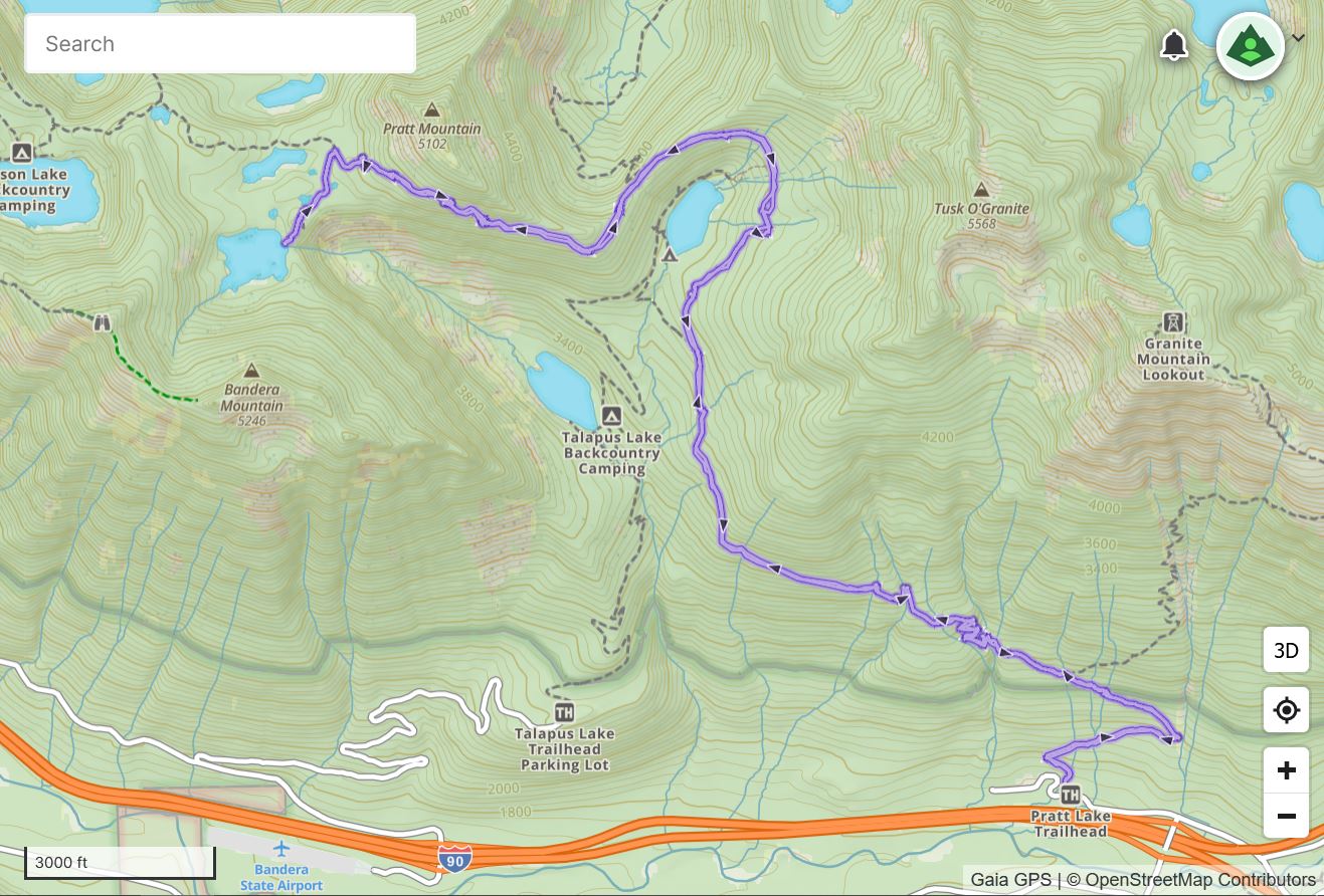
I did a new hike today, up the Pratt Lake Trail to Island Lake. And I discovered why this alpine lake is named as it is. (because it has tiny islands)
The hike starts at the Pratt Lake Trail trail head off exit 47. This is the trail you start on for Granite Mountain. I think I will save this year’s Granite outing for a day when it is a might cooler. It peaked at about 85 today.
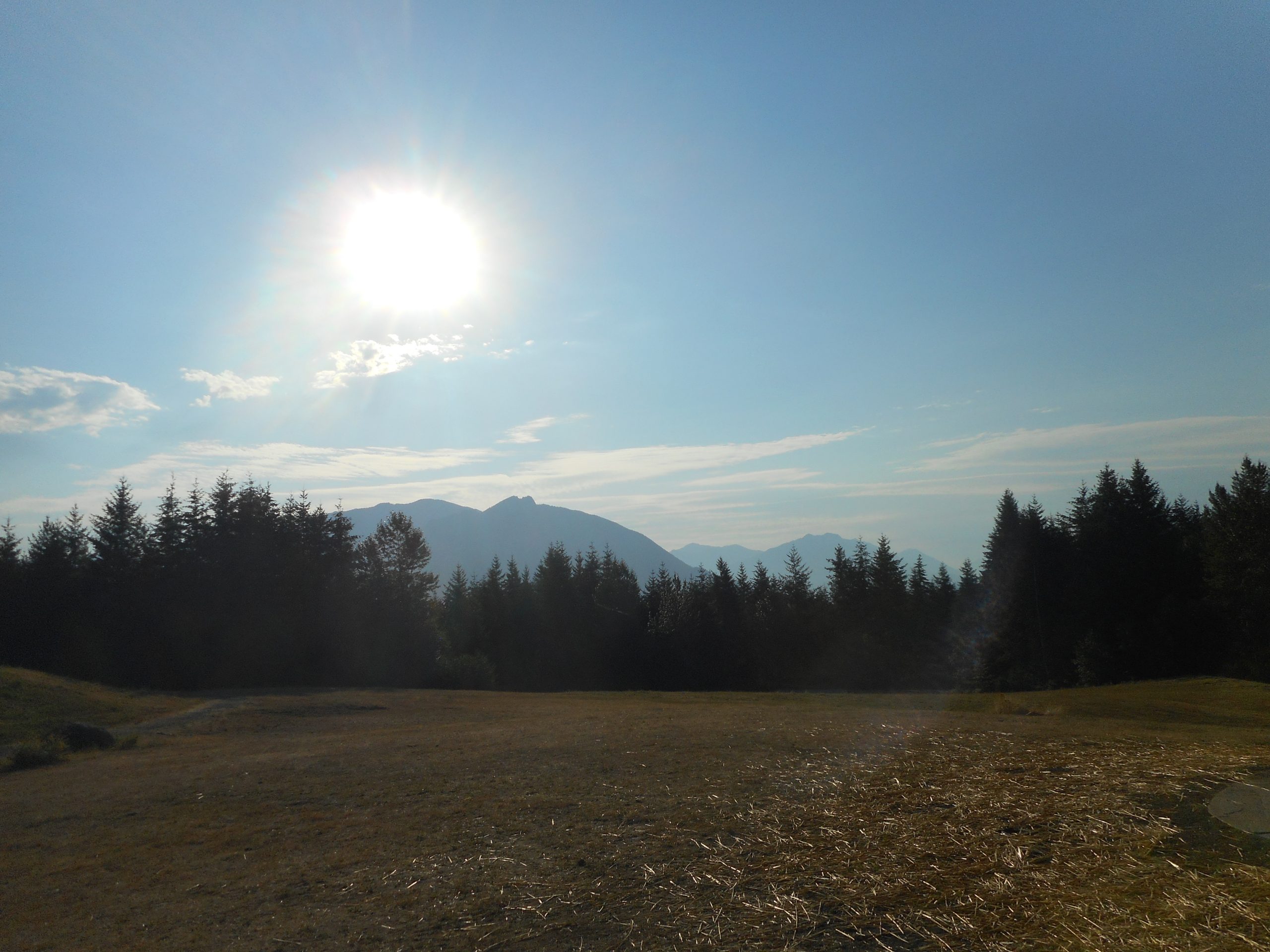
I was on the trail at 7:10. This is a long and excellent hike. Round trip it is 11.8 miles. The first 4 or so miles are in nice forest but there are no real views to speak of. But just as you round Olallie Lake, far below, there is a great view of Olallie and, way down south, Rainier:
Olallie Lake and Rainier
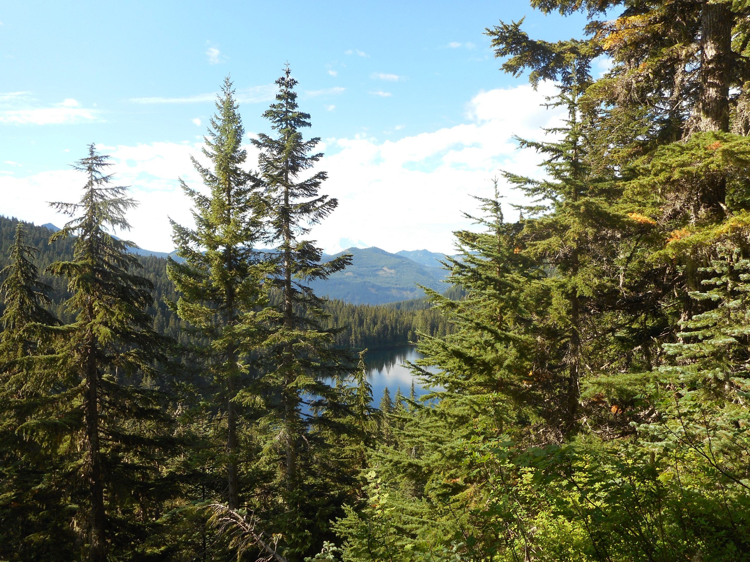
Rainier is quite visible with the naked eye but, alas, not so much for my camera. After this view point, which is at 3,700 feet, the trail steepens until it peaks at about 4550 feet. About .3 mile beyond this view point the trail splits. If you take the right fork you head down to Pratt Lake (I will check it out on another day) but I took the left fork, which is signed for Island Lake.
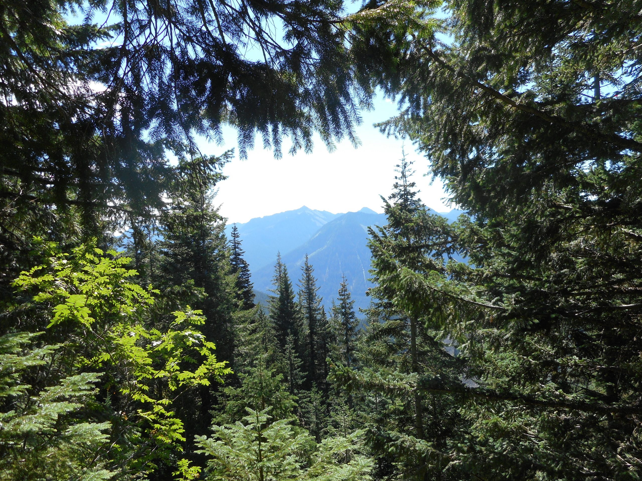
This portion of the trail, just over 1.5 miles, is fabulous. There are repeated views of the surrounding forest and mountains:
Viewing the Neighbors
The trail itself is pretty easy to follow. There is a bit of a challenge as you get closer to Island Lake as you have to boulder-hop a bit down a talus field. Of course, it is a steep section on the way up.
Anyway, it is a great hike and a really good workout.
Which reminds me. On the way home I had to stop to pick up a couple of things at the grocery store. Having hiked almost 12 miles up and down a reasonably steep trail, I was a bit stiff when I got out of my car. I was hobbling more than walking for the first few steps. A young guy passed me, breezily, and said: “It’s tough to get old!” I replied: “Especially after you have just done a 12 mile hike in the Alpine Lakes Wilderness.”
He had no comeback for that.
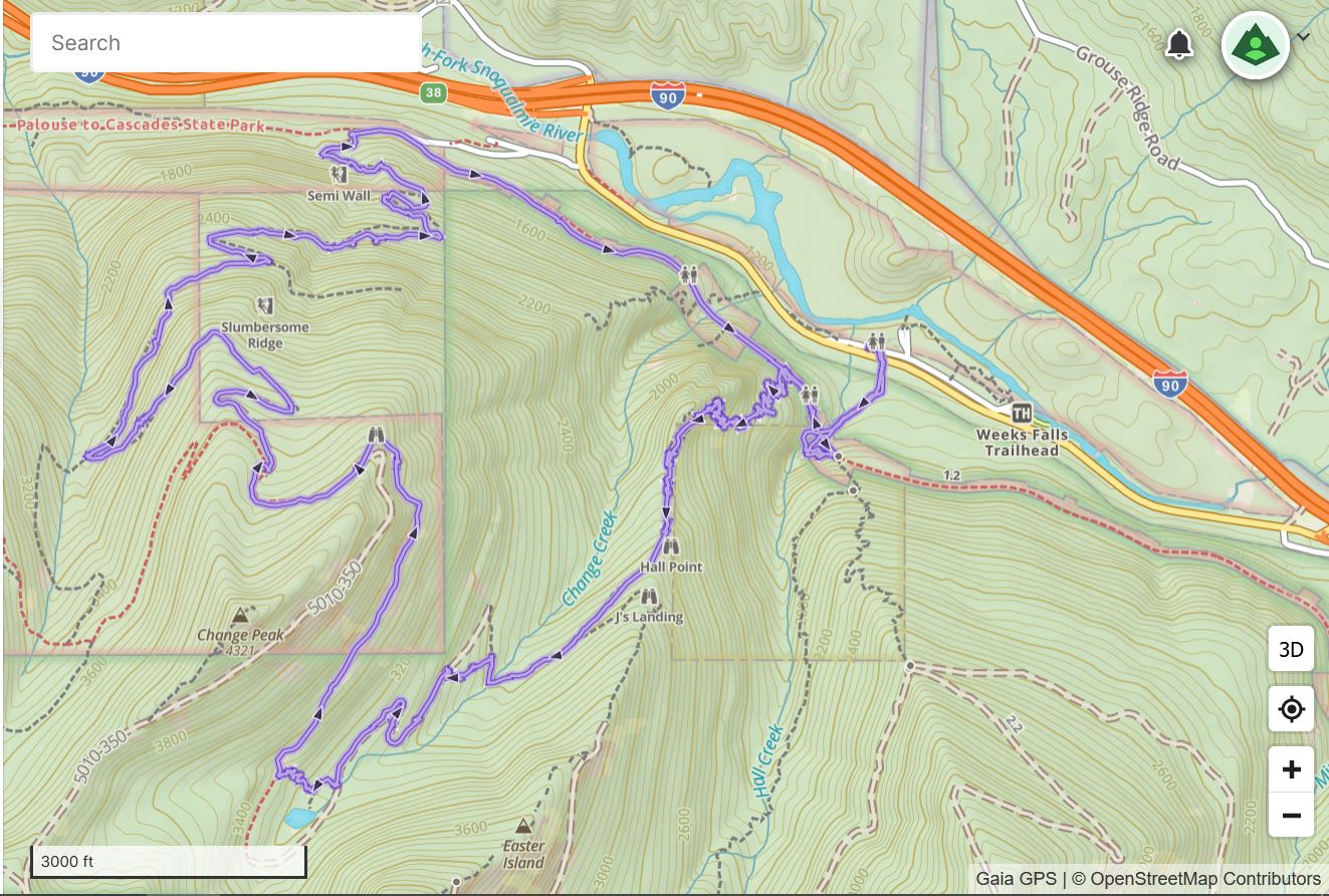
Track below.
Anyway, a great workout and a beautiful experience.
Just another vanilla conditioning hike on the Section Line. We had a non-standard situation at home this past week so I wound up only hiking on Monday. I went out yesterday and just did the Section Line hike.
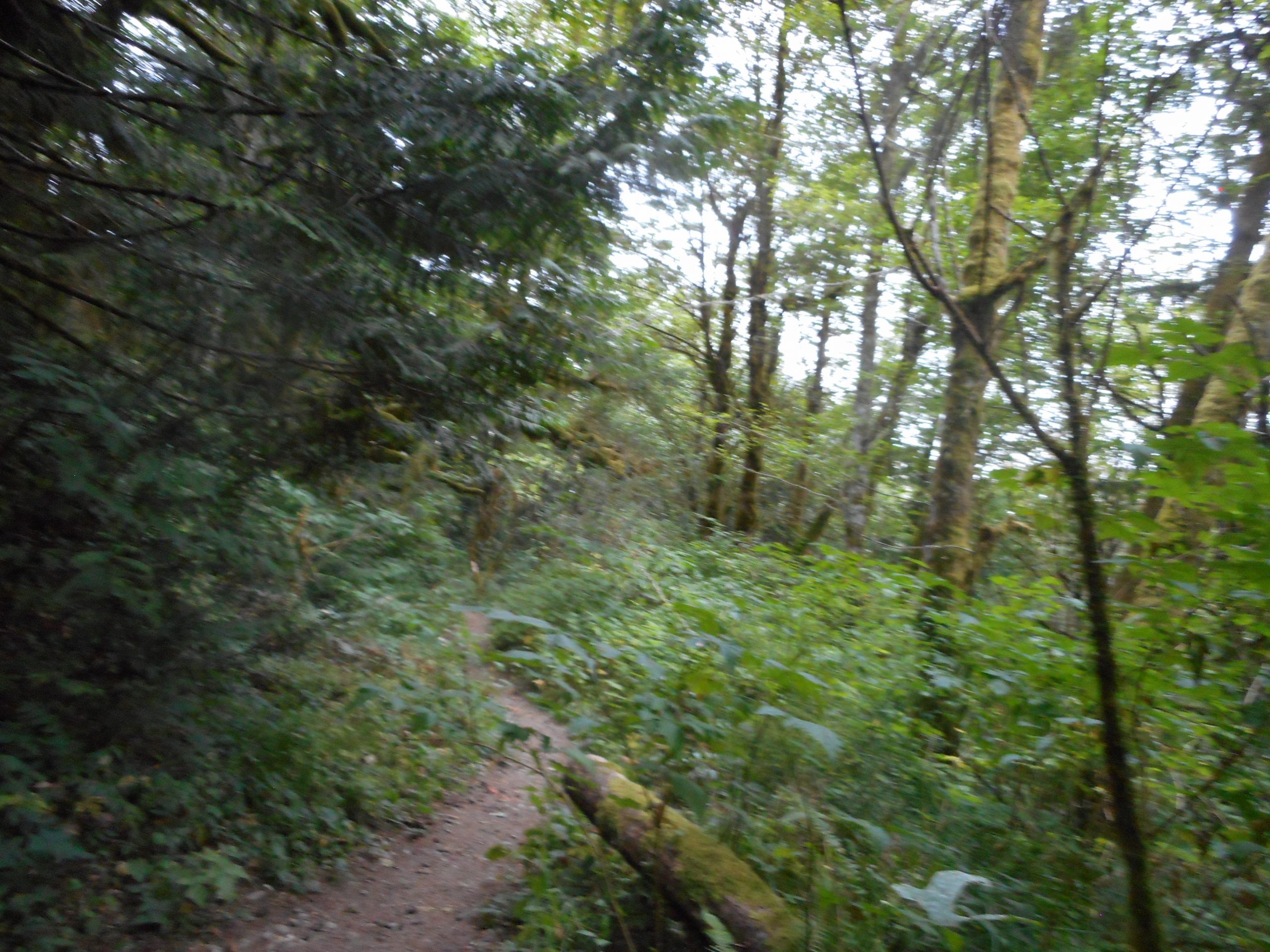
I took this picture while sitting on a rock about 2/3 of the way up the Section Line trail. I sometimes stop and sit on the rock to catch my breath and check out the forest. As always, my camera and camera skills do not capture what I see IRL. I love the forest, even if most of Tiger Mountain is not very photogenic.
I hope tomorrow to do the Island Lake hike, an 11-miler out near Snoqualmie Pass in the Alpine Lakes Wilderness.
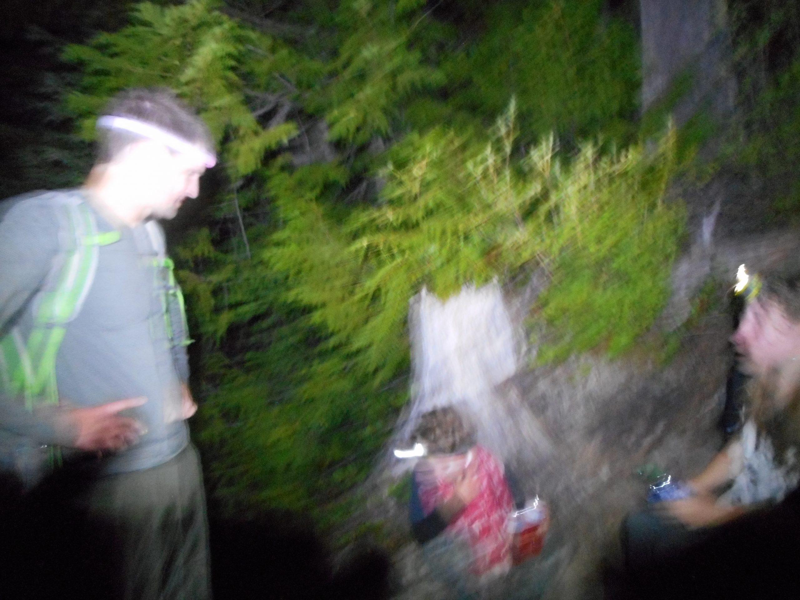
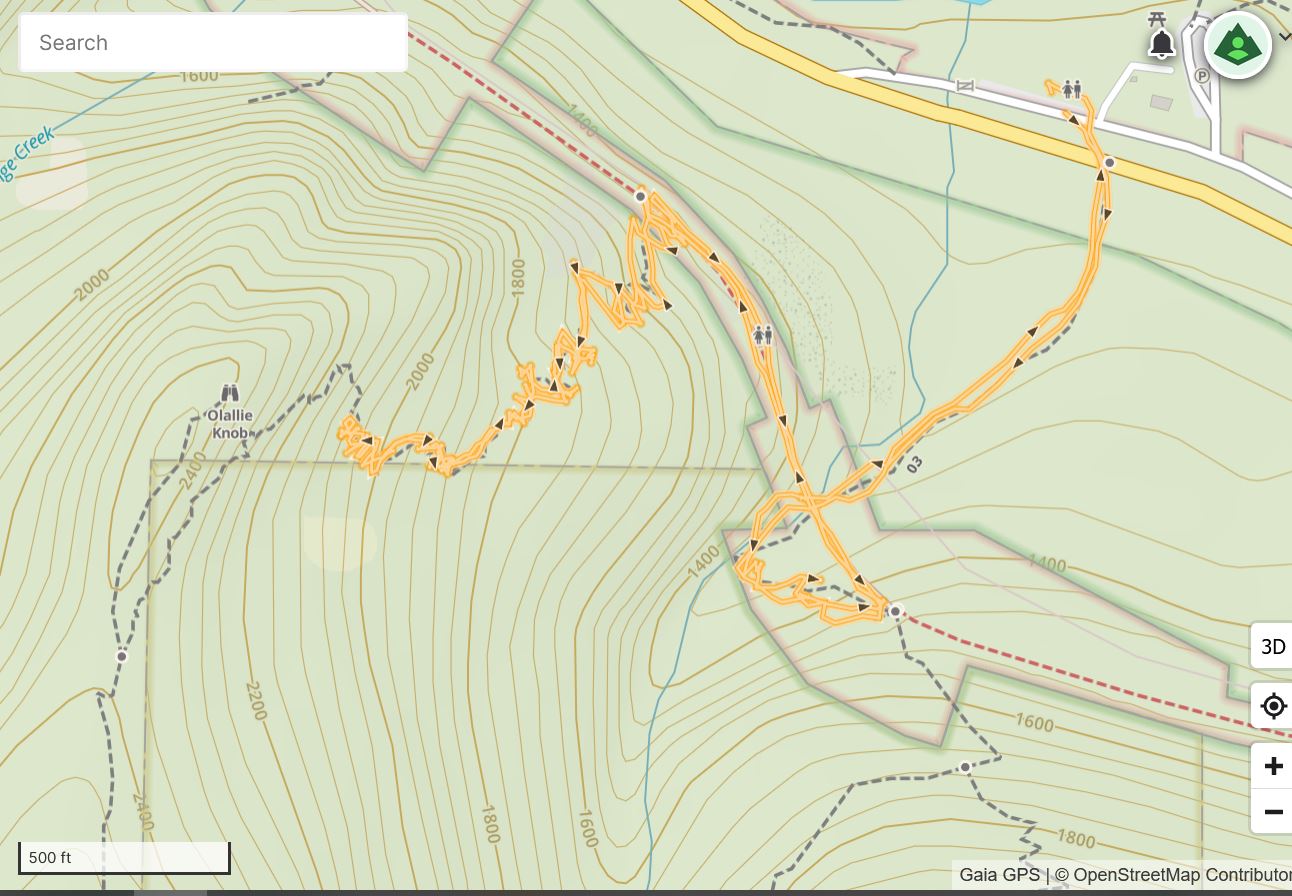
Derek, Finley, Camden and I met at the Preston Park and Ride about 11pm with the goal of hiking to the Olallie Knob (see track below) to view the Perseids meteor shower. We didn’t see any meteors and we didn’t make it to the knob.
No meteors because, against all odds, it was totally cloudy last night. I was bummed. Next year, if I am still able to move around, I will try it on a couple of nights, just to increase my odds.
As for not making the knob, well, this trail might have been a bit of a challenge for the kids at night. We did about 2.36 miles round trip, most of it ultra-steep, so kudos to Fin and Cam for making it that far.
I had been to Seattle Opera to see their excellent production of ‘The Elixir of Love’ and drove from Seattle out to Preston so it was a busy night. I got home about 2:30 am or so and by now I am almost caught up on my sleep.
The image above is very blurred, my camera probably has a setting for low visibility but I do not know what it is. This was taken where we turned around and headed (slowly and safely) back down.
Derek and Camden and I are scheduled to do a midnight hike 8/12 on the Change Creek Trail, to the Olallie Knob, to watch the Perseids meteor shower. So far, no huge problem with wildfire smoke so we should be good to be able to see lots of meteors streaking through the sky.
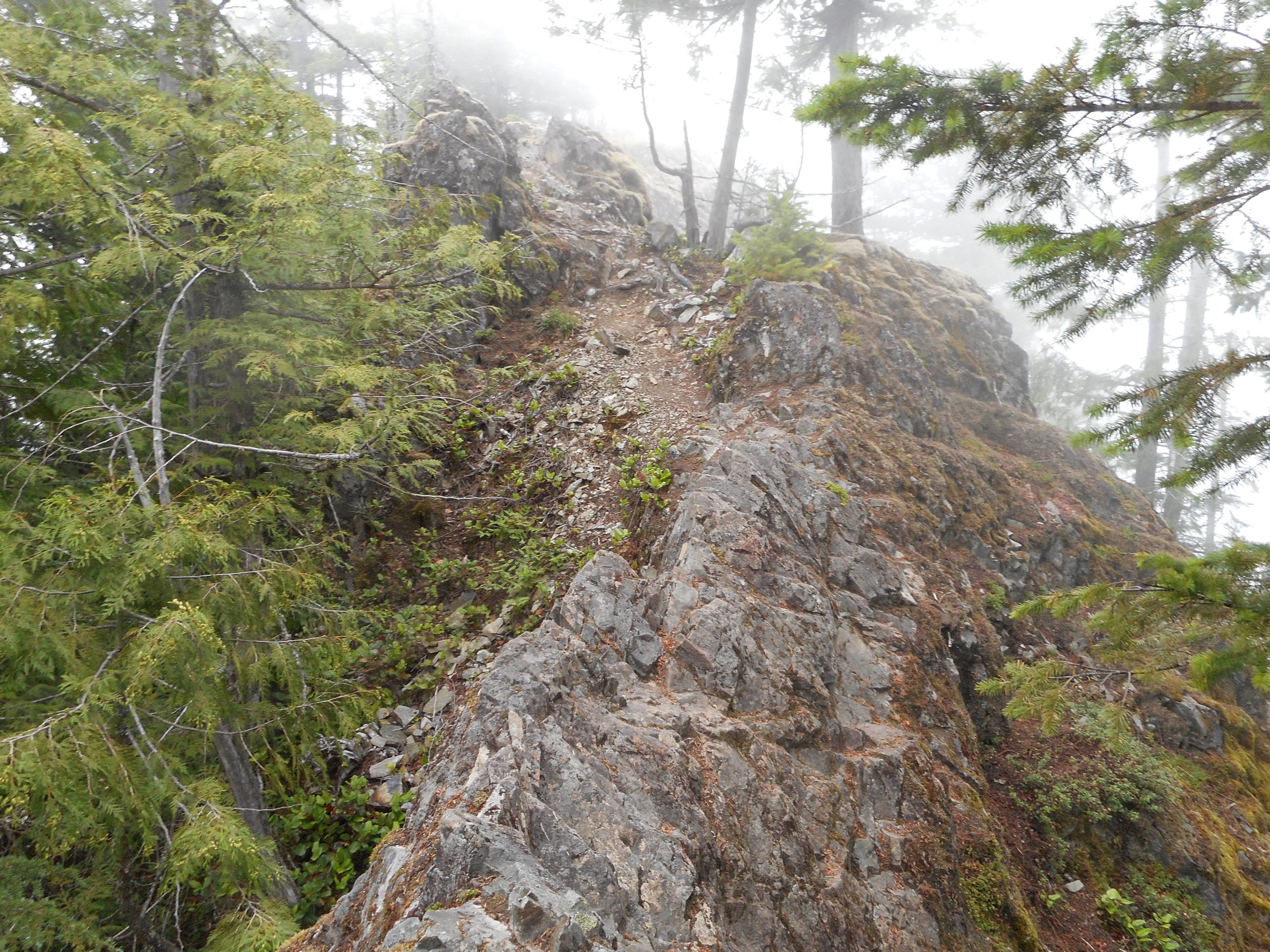
I went up the Change Creek Trail today to check the situation out in daylight. In particular, I wanted to put flagging tape up to show the correct way to get onto the Olallie Knob side-trail. A couple of winters ago a big tree fell right at the junction of the side trail and the Change Creek Trail and it made getting up to the knob a bit difficult. The tree has been hacked up and you can get by now, but two distinct trails now intersect the Change Creek Trail. The first one you encounter is the way up; the second one is the way down, because it is not quite so steep.
Along this side trail is a scrambly area. It pays to be careful there and I was wondering how easy it would be for Camden, who is 7 and has relatively short legs, to navigate. See below:
Scramble
After looking it over I think if his dad goes first and extends something for Cam to hold onto (dad’s hand, a hiking pole, whatever) it should be fine. Once you get past the scramble area it is nice and safe and the knob itself is wide and flat and will be a perfect view point for the meteors.
After checking this out I continued up and went as far as you can go on this trail, which is the intersection of the Olallie Trail via the Pond Trail. I took Olallie to the Great Wall Connector Trail, to the Mt. Washington Trail, and down to the PTC and back via the Hall Creek Connector. 9.3 miles, close to 3K elevation gain. A good workout.
On a side note, the Mt. Washington Trail is getting worse and worse every year. Long sections are obnoxiously rocky. This trail was always a bit harsh but it is almost un-hikeable for a fairly long section. It is so rocky it feels like it is a lot longer than it is.
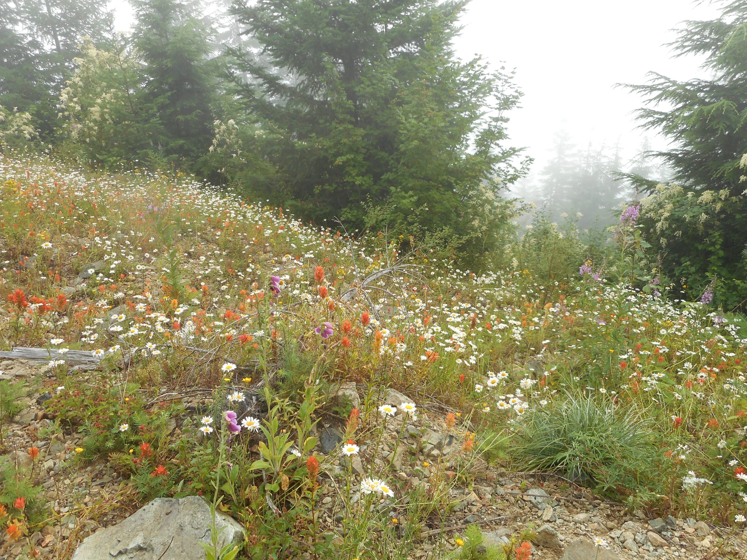
One area on the Olallie Trail, at about 3,500 feet, has a great field of wildflowers:
Wildflowers
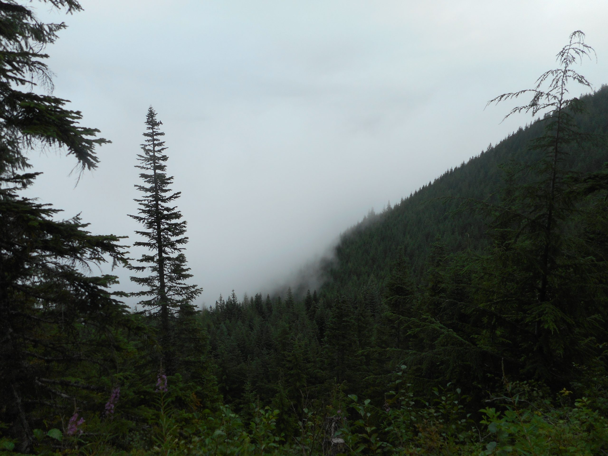
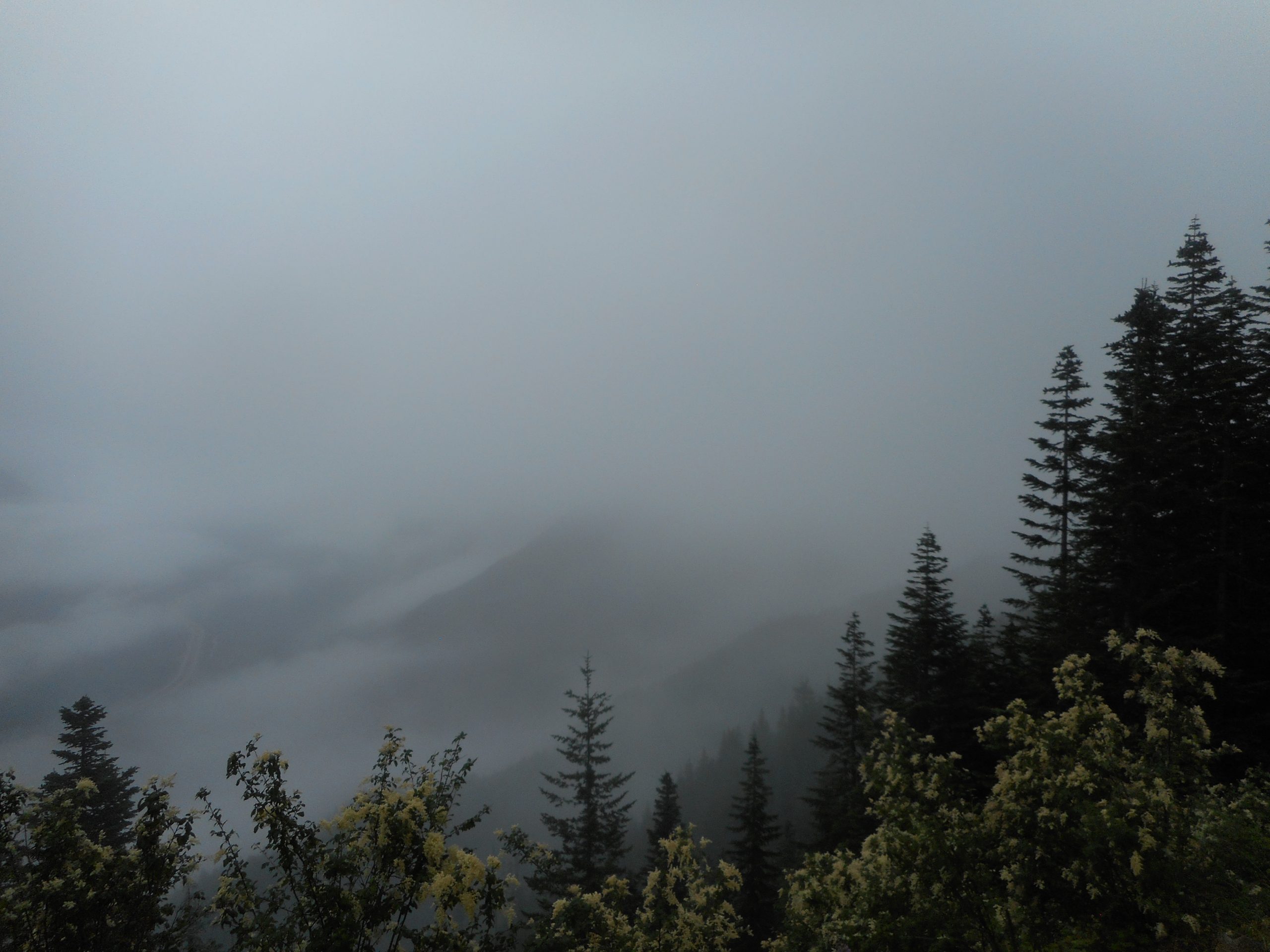
None of the normal views were very exciting, as it was cloudy. In fact, the clouds were so low I was walking through them.
More Clouds
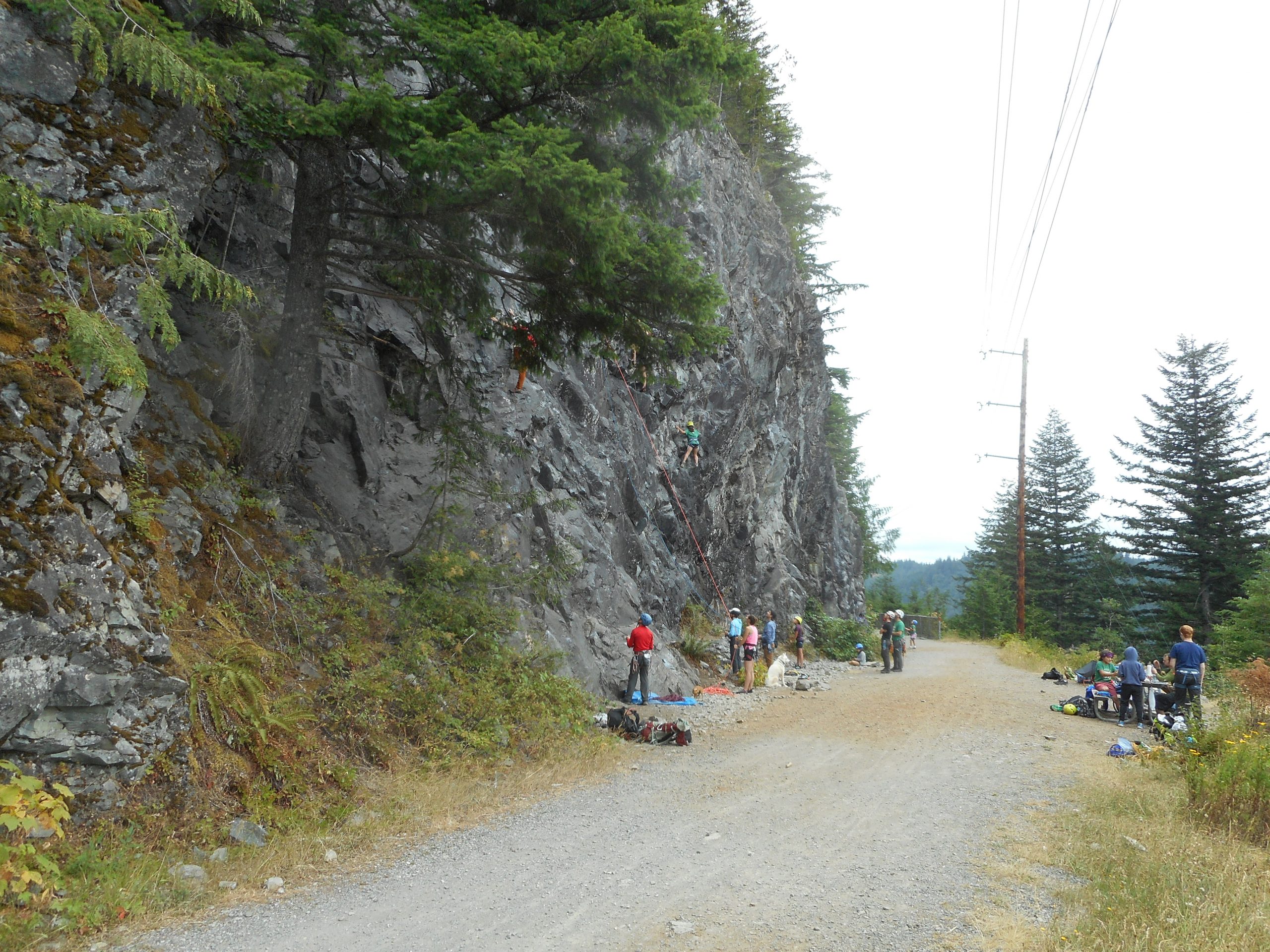
On the way back via PTC I came across what has to be a summer school or camp for rock-climbing juniors. I counted three different groups, roped up, learning how to climb. Here is one of them:
Rock Climbers
All in all a great morning, looking forward to Friday.
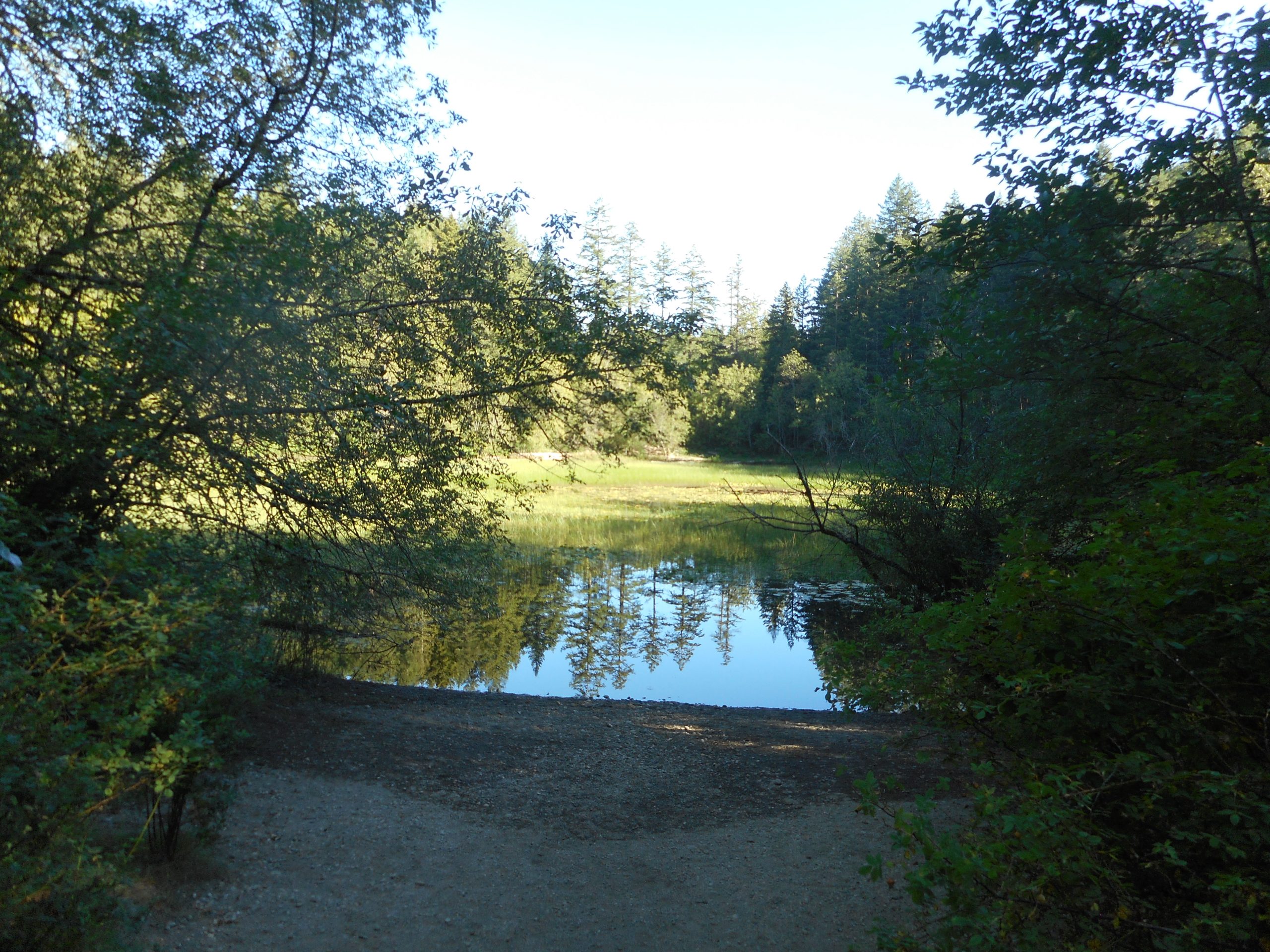
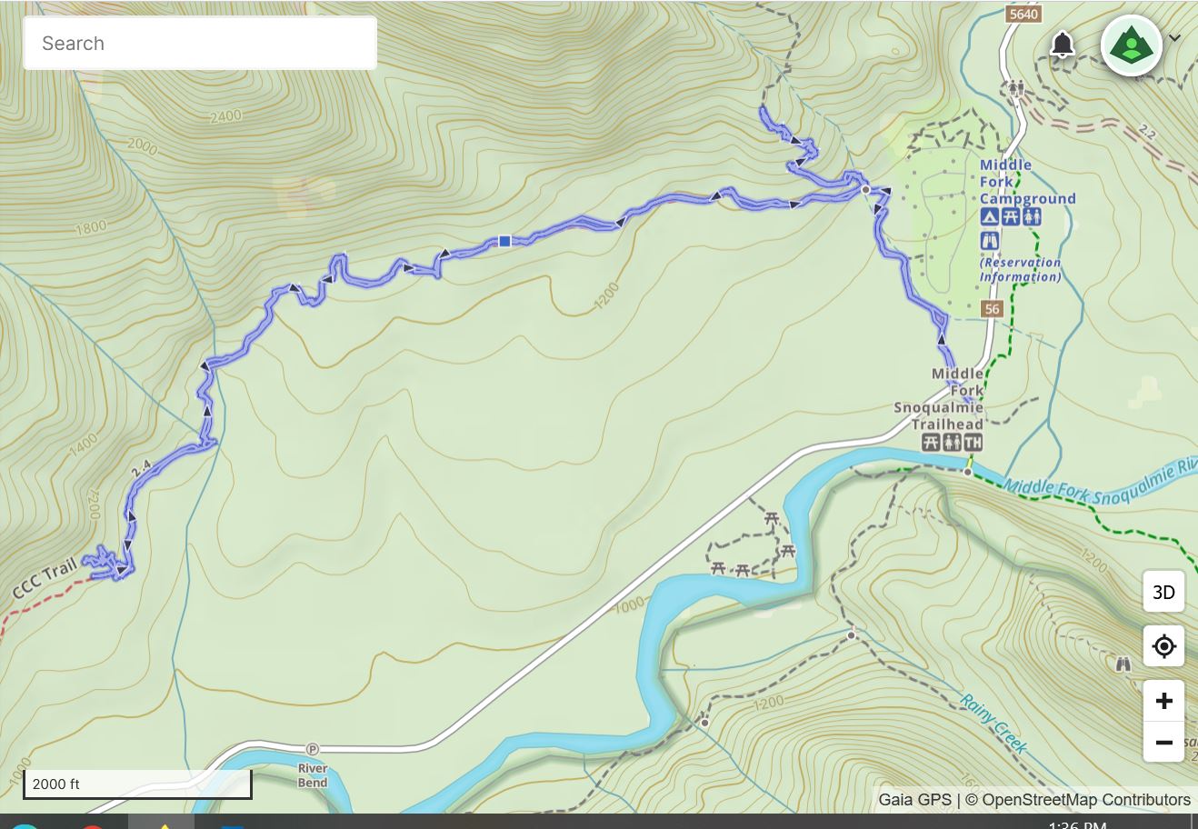
My plan was to check out the Change Creek Trail, prior to the planned 8/12 midnight meteor hike with Derek and Camden. But Jan is off next week and we were talking about bringing Brittany and Dean out to the Middle Fork to take a walk on the Oxbow Loop Trail. So I changed plans, and got to Oxbow really early and took a little walk to check it out.
I figured, when all is said and done, that it might be best for us to do Camp Brown instead and make a picnic of it.
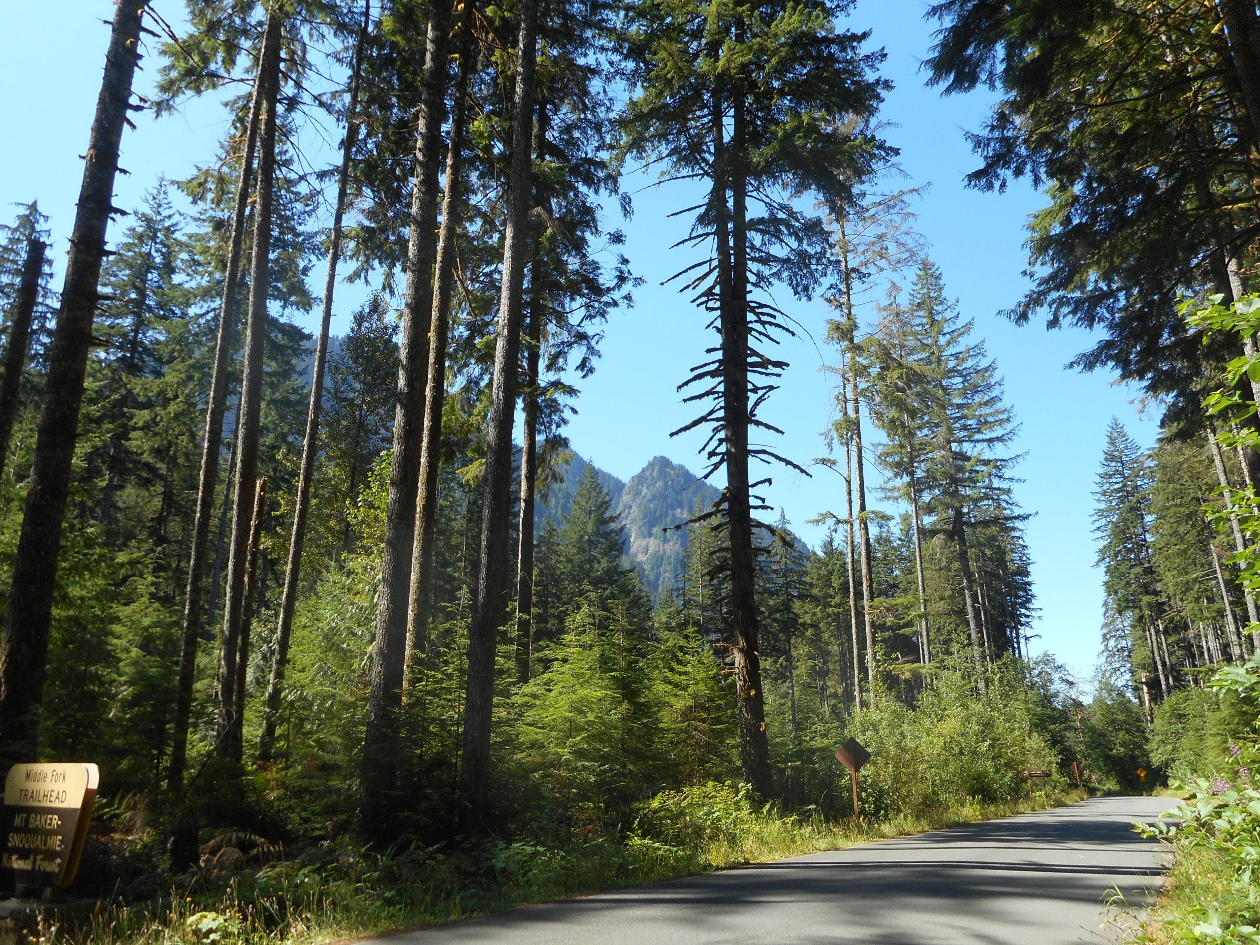
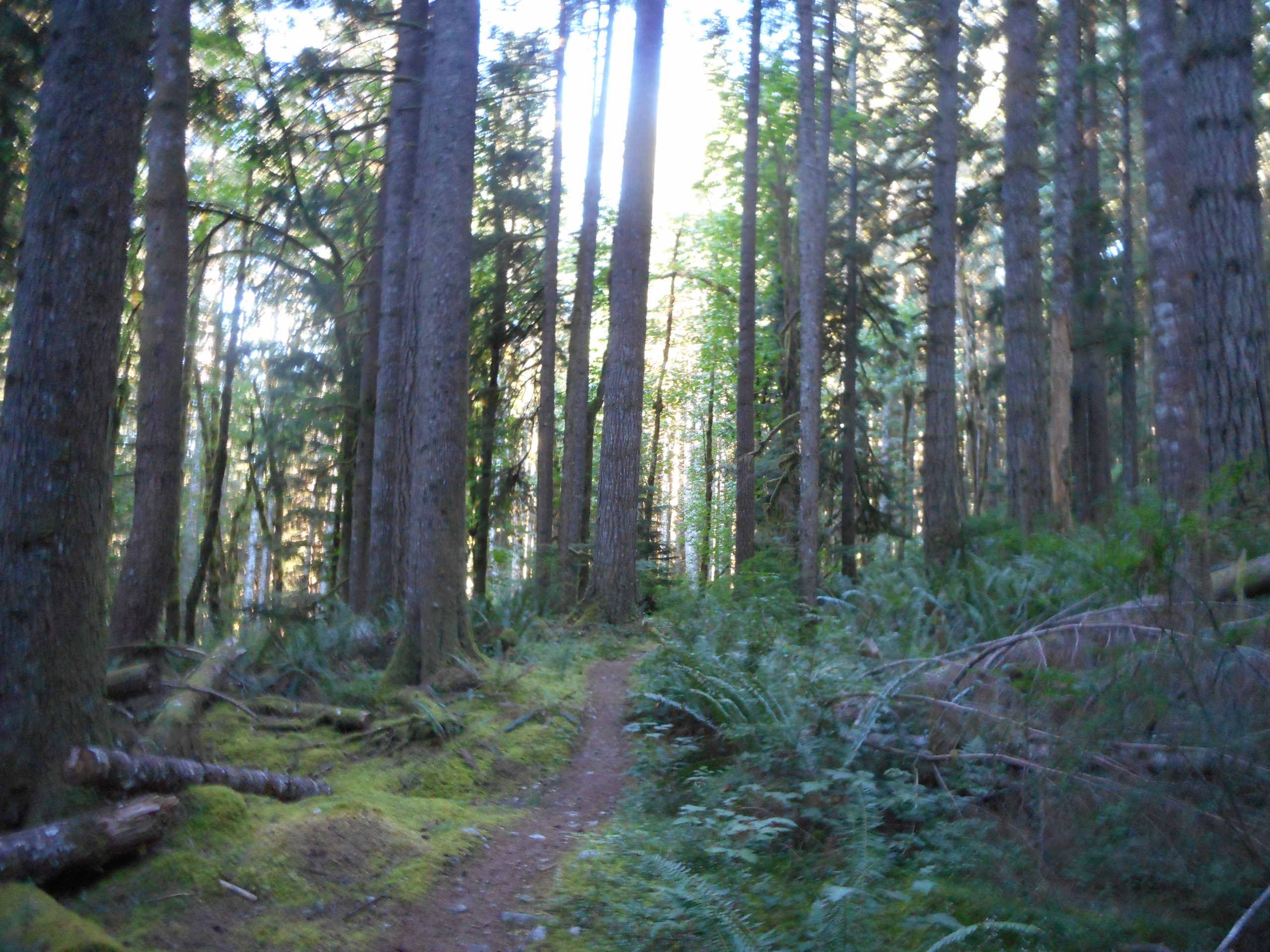
After Oxbow I hopped back in the car and drove to the Middle Fork Trail Head. I crossed the road and went up the CCC Trail. My plan was to go to where I thought the unofficial trail to Quartz Mountain started, and then hike up far enough to register on the GPX track and then take it home and compare it side-by-side with one of the mountaineers Quartz tracks.
When I did, it was obvious that I was wrong, and they have gone up at the nearby creek, which is marked by a little bridge. It is very near the intersection of the CCC Trail and a former road market on some maps as 210 – I looked for it but it is essentially completely overgrown. There was nothing to see.
On the way back I headed up to the site of the former Nordrum Lookout, a welcome section of ‘steep’ on an otherwise flat trail. It was interesting to do this trail without the snow and, especially, without all the murderous blowdowns that were so obnoxious a few months ago. Someone, or some group, went through the trail and sawed up all the downed trees. Nice!
About 6 miles, track below. As usual, I enjoy the blend of forest and sun.
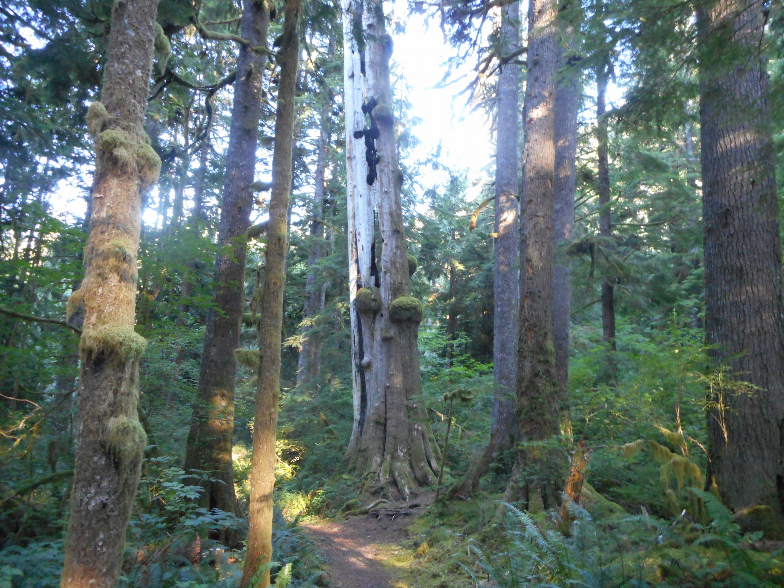
Someone shot two arrows into the tree below; not visible in the photo but when I passed underneath the tree I could see them. They looked pretty old. I am trying to imagine why someone would stand around the forest shooting arrows into trees. And with enough force to penetrate the tree deeply enough to stick around for, perhaps, decades.
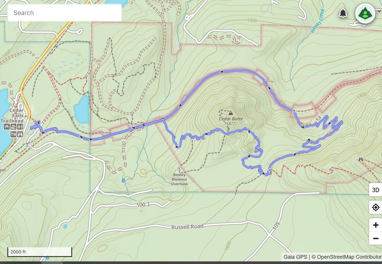
I went up the Cedar Butte Trail to South Side Trail, to Olallie Trail and thenback via PTC, a total of a bit under 6 miles. A beautiful day; I left the car at 6:10. It was nice and cool. I saw one trail runner on the way up and zero people until I got back down to the PTC Trail.
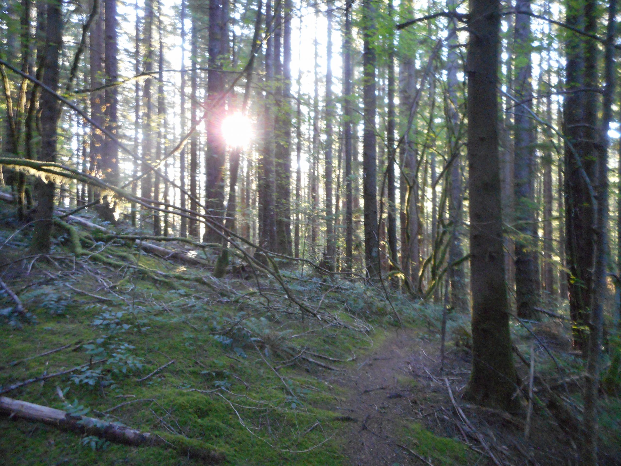
Now most of us consider a “view” to be something majestic, like what you see when you are on the summit of a mountain. And this is true. But I love love love this kind of view:
South Side Trail, Sun Shining Through
This is the kind of early morning or late afternoon view you get in the forest when the sun is shining through the trees. The photos are nice but actually being there in the moment is just magical.
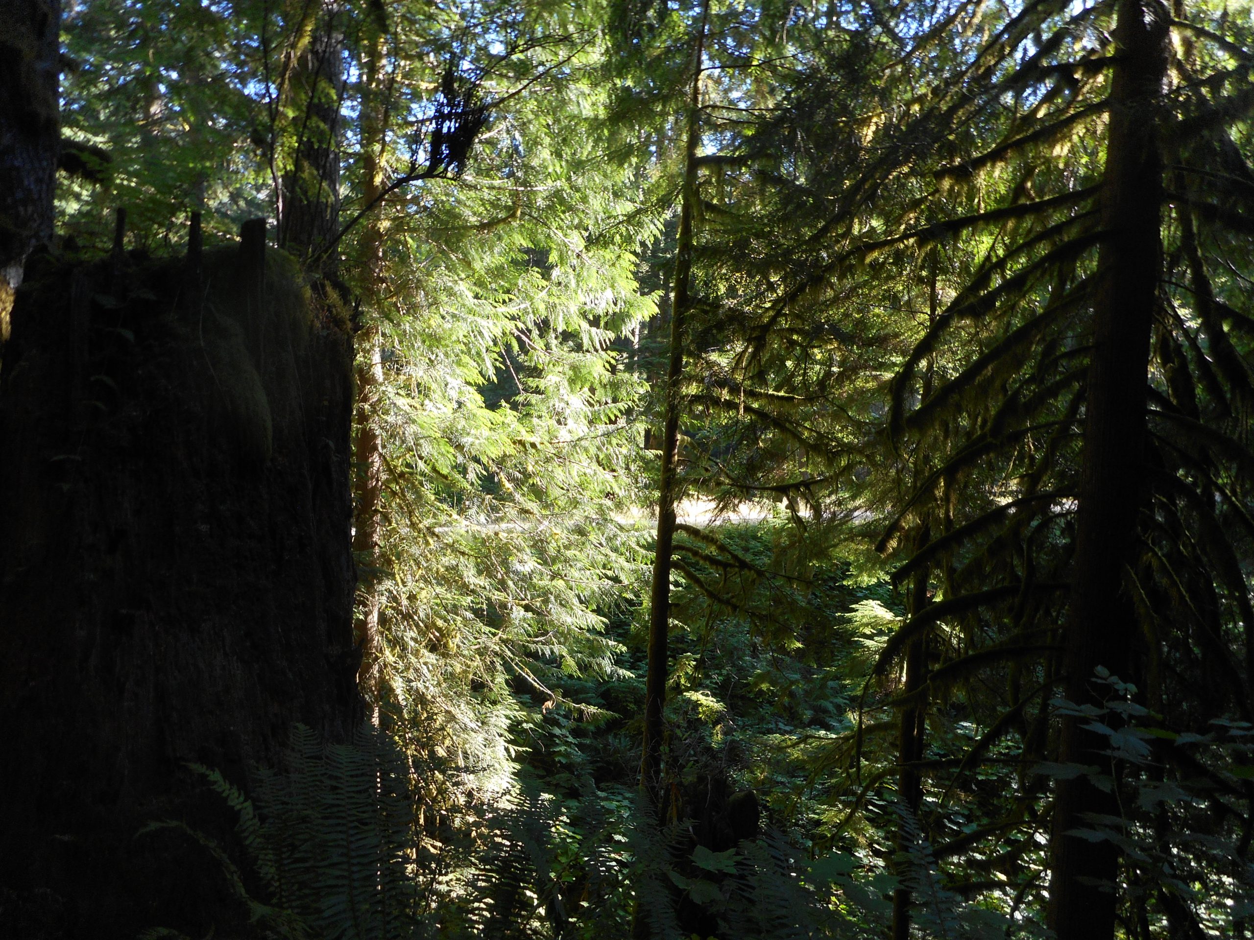
I saw something like that on the way down, near the beginning of the Olallie Trail I could see the PTC trail in the sun up ahead:
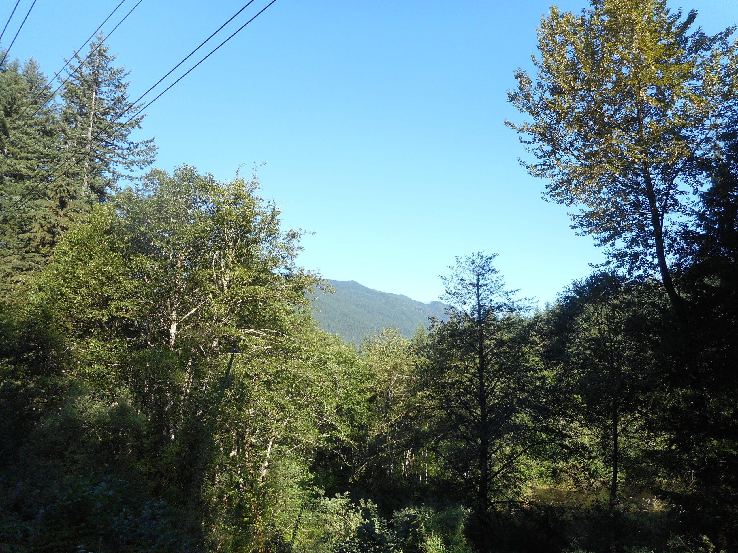
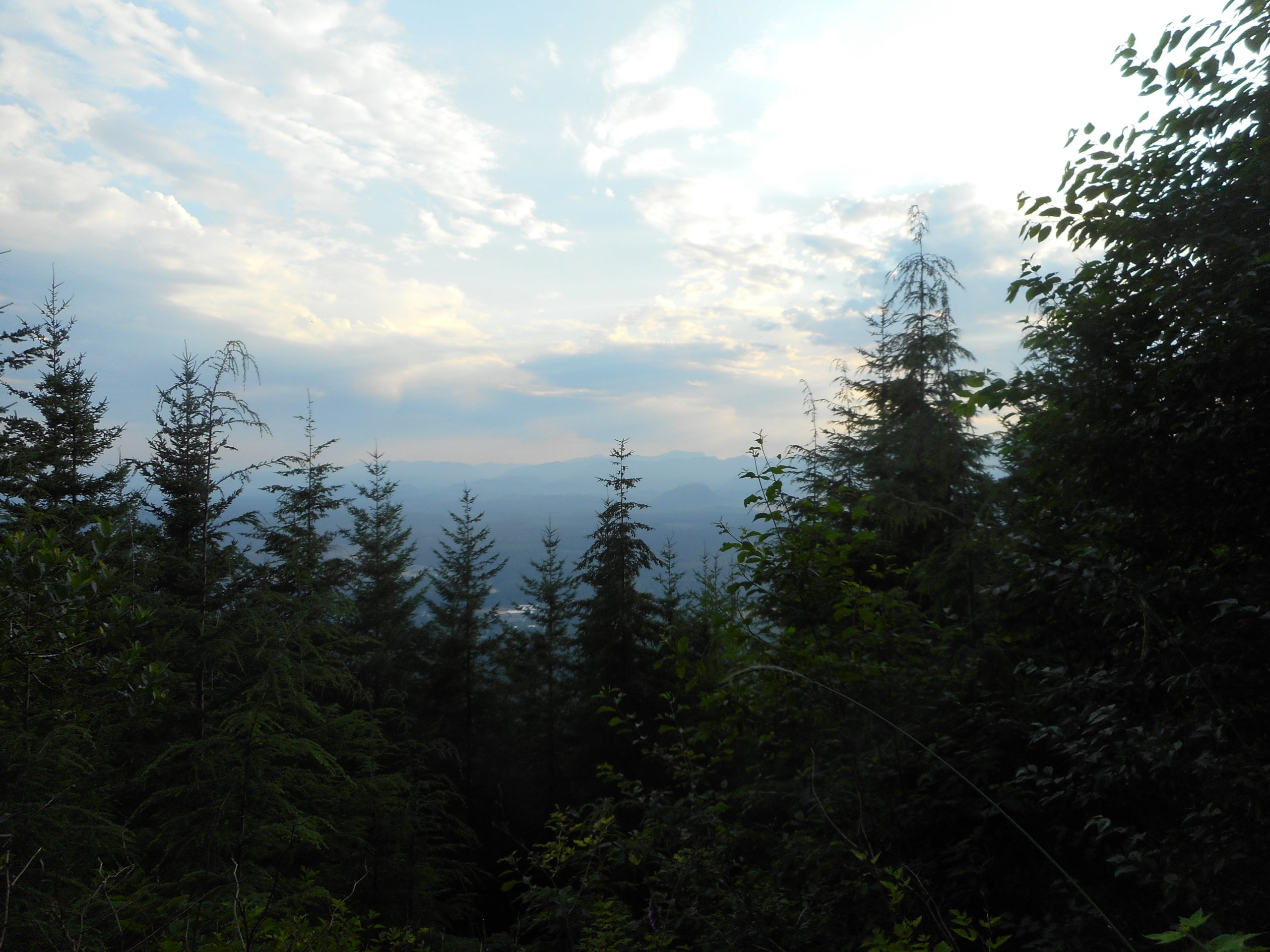
I got another early start today, on the trail at 5:35. It didn’t seem all that warm. But about halfway up I had to put on the sweat band. I turned around at Stan’s Overlook. When I got back to the parking lot I wandered over to the Snoqualmie Point view point:
Snoqualmie Point
Just to check out the view.
I’ll be out somewhere on Thursday, again as early as I can in order to beat the heat.