Zig Zag Trail 6/17/2018

Hall Point and J's Landing
Hall Point and J’s Landing

I didn’t update the blog for my hikes on Tuesday (6/12) on Tolt Pipeline and Thursday (6/14) on the Section Line with Ken.  I note them here just for the end-of-year count.

Rather an eventful solo hike yesterday.

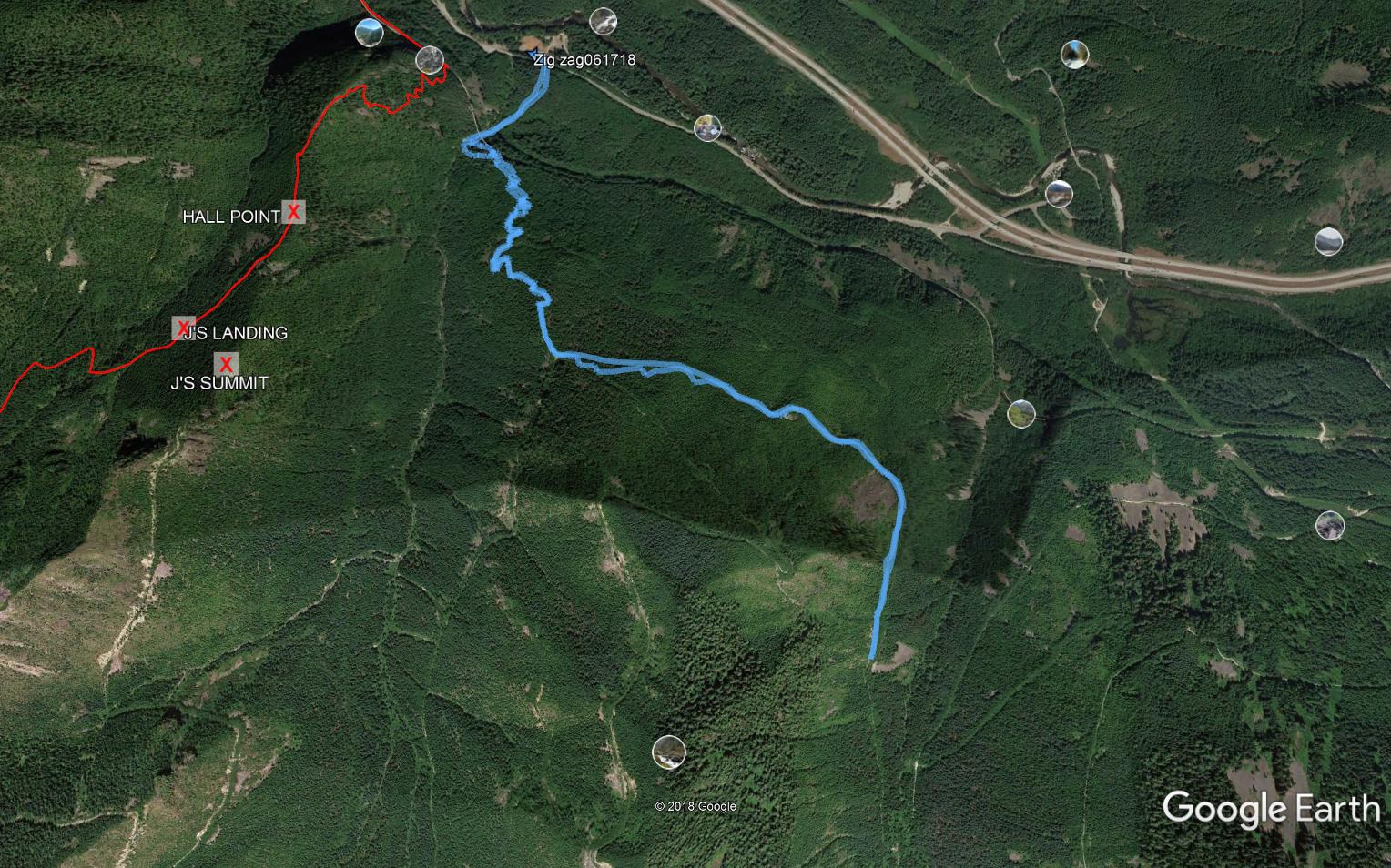
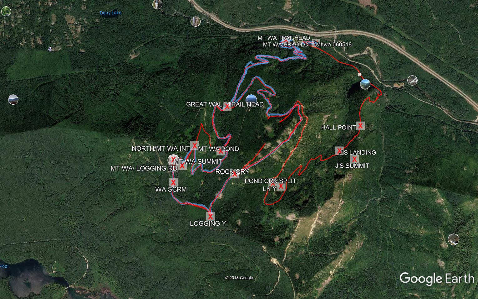
I was scheduled to babysit Camden in the late afternoon, because everyone but us was going to a concert at the zoo by a group called Violent Femmes.  I wanted to start later than usual so I didn’t finish too early (the hike and the babysitting are not all that far apart); thus, I started up the trail about 8:30 am.  My plan was to hike Zig Zag and then go up to Truck Summit.

Sounds early, perhaps, but the temps approached 90 yesterday and the Zig Zag is ultra-steep.  I completely soaked two head bands by the time I got to the top of the Zig Zag so I pitched the idea of going to the truck.  I turned left to go down the service road which would take me back to IHT, etc.

I was done, I thought, with elevation gain.

About a mile down the service road I started hearing gunshots.  Lots of them.  I knew people brought guns out there – illegally – to shoot them but I had never been out there when the bullets were flying.  I absolutely did not want to turn around and chug back up the service road I had just come down but I also did not want to walk into gunfire.  So I turned around.

There is not enough budget to staff the back country to police this kind of behavior, and there are vicious idiots a-plenty in the world so I am not sure what to do.

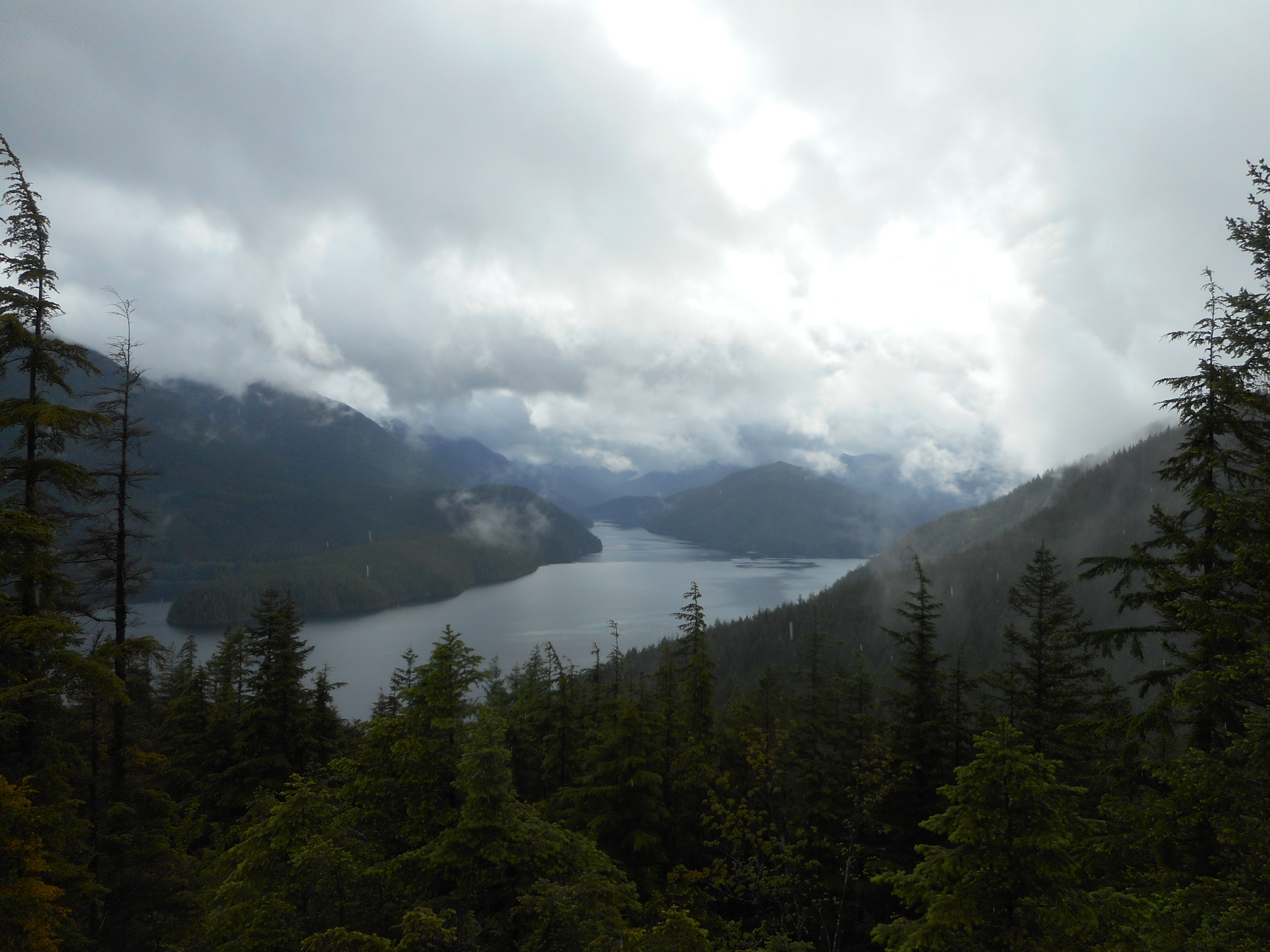
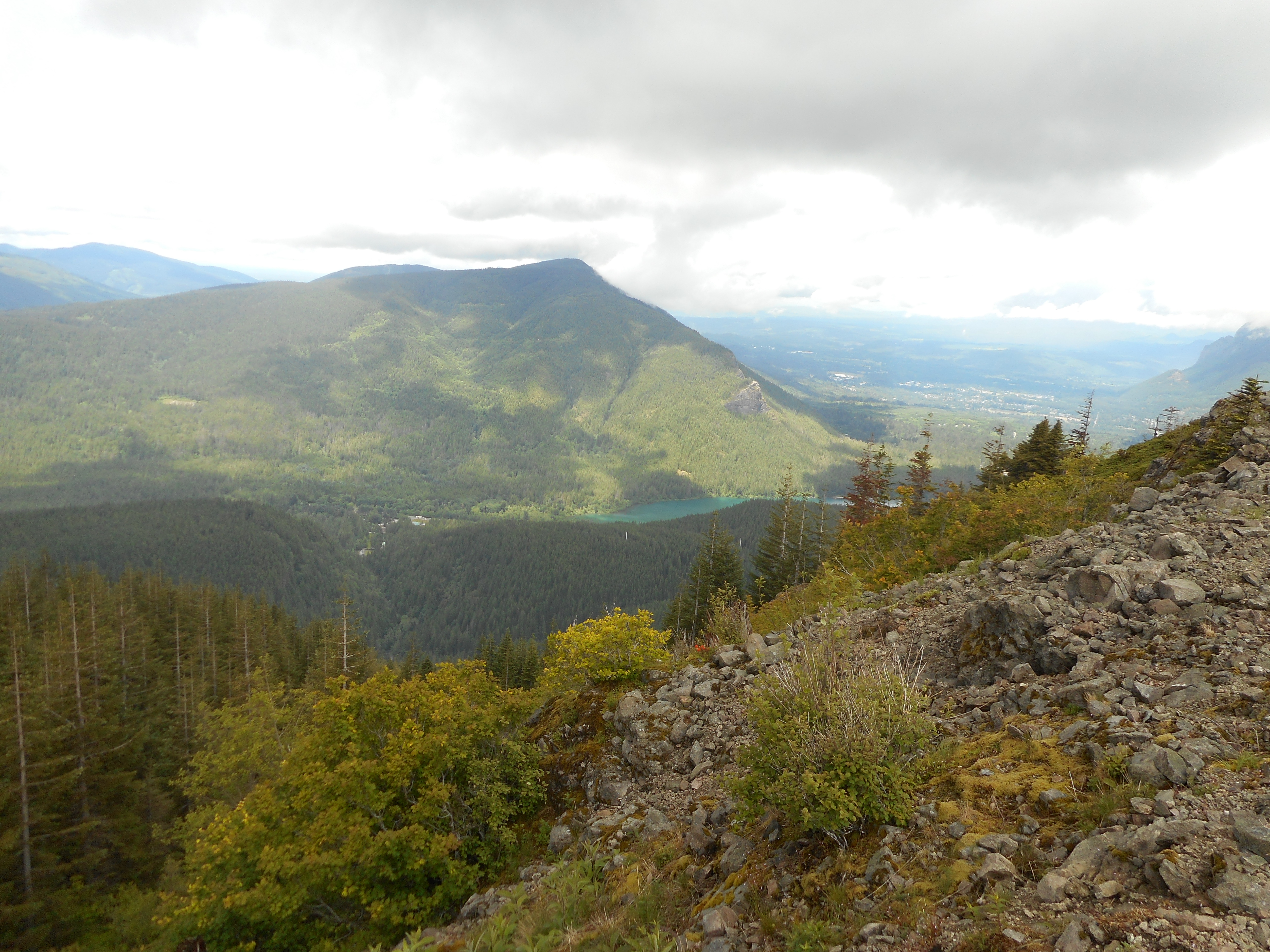
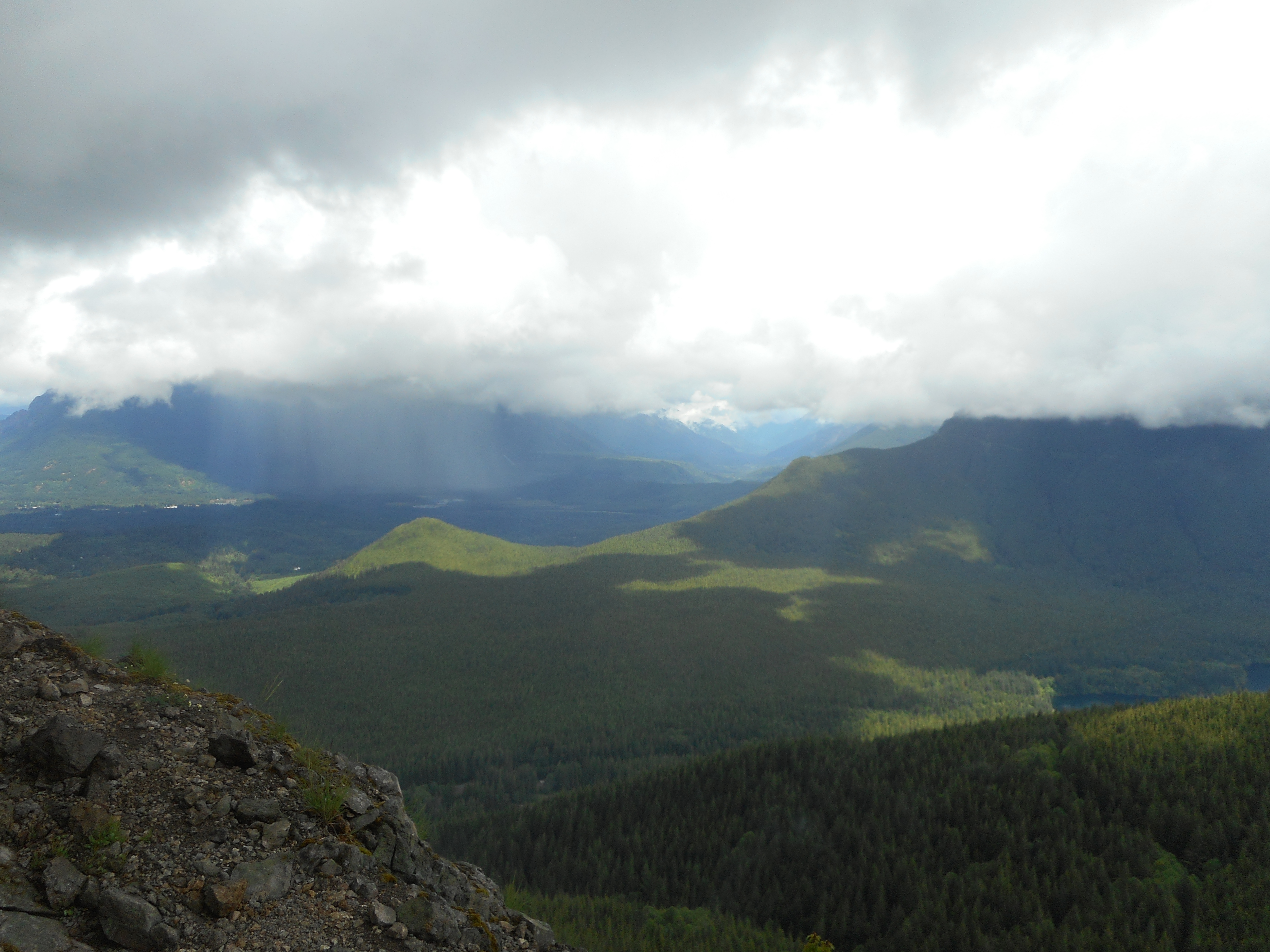
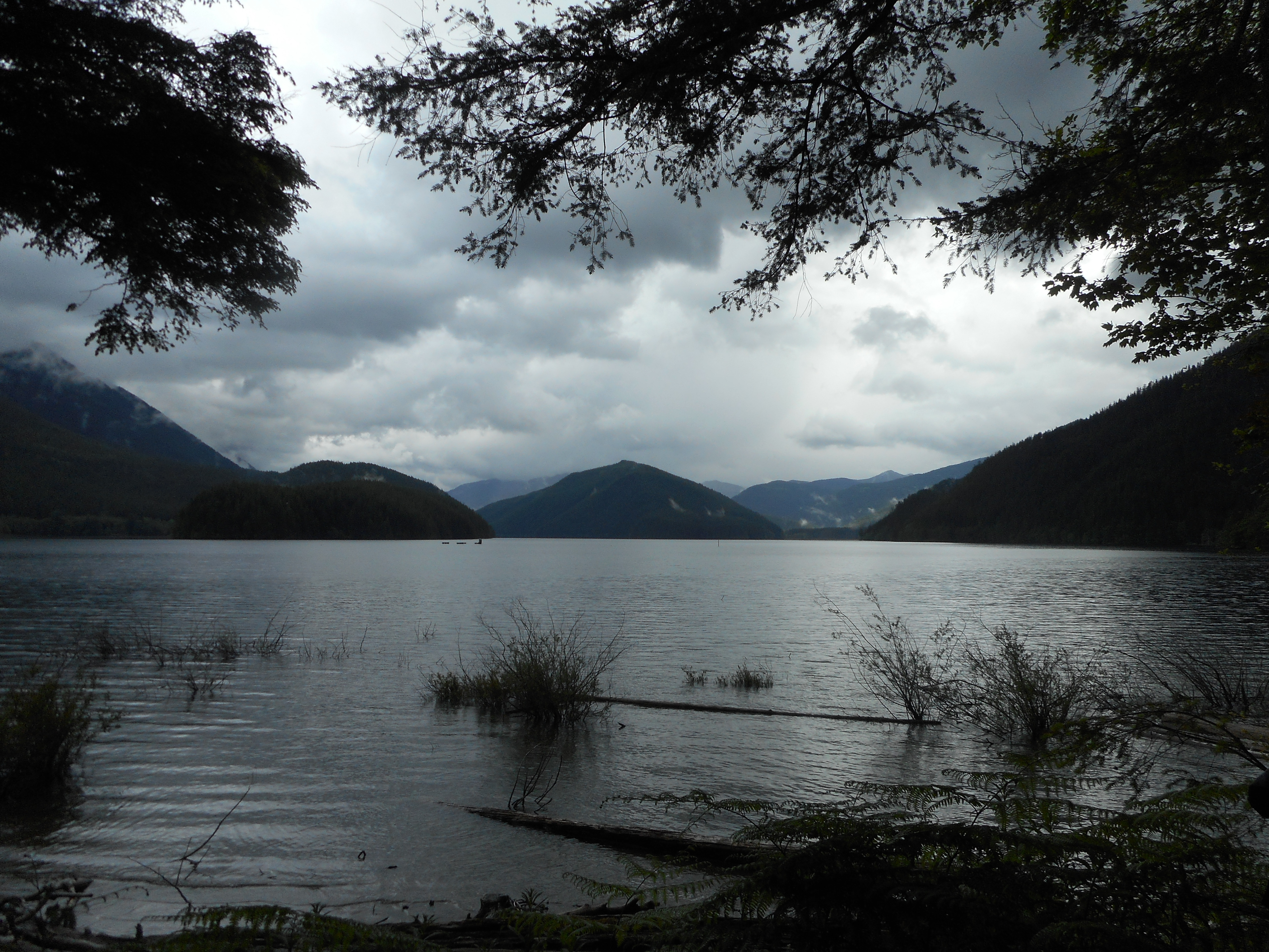
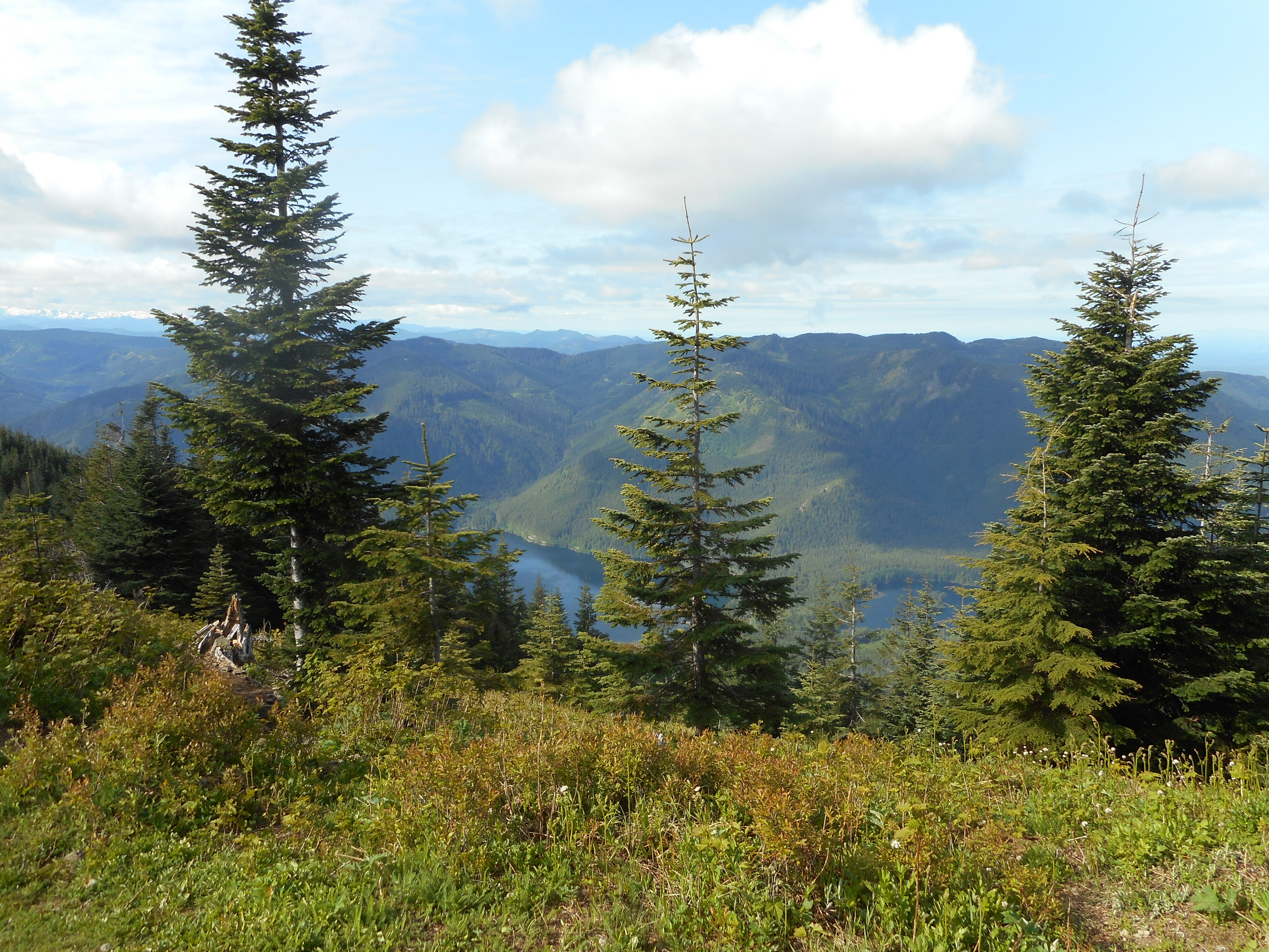
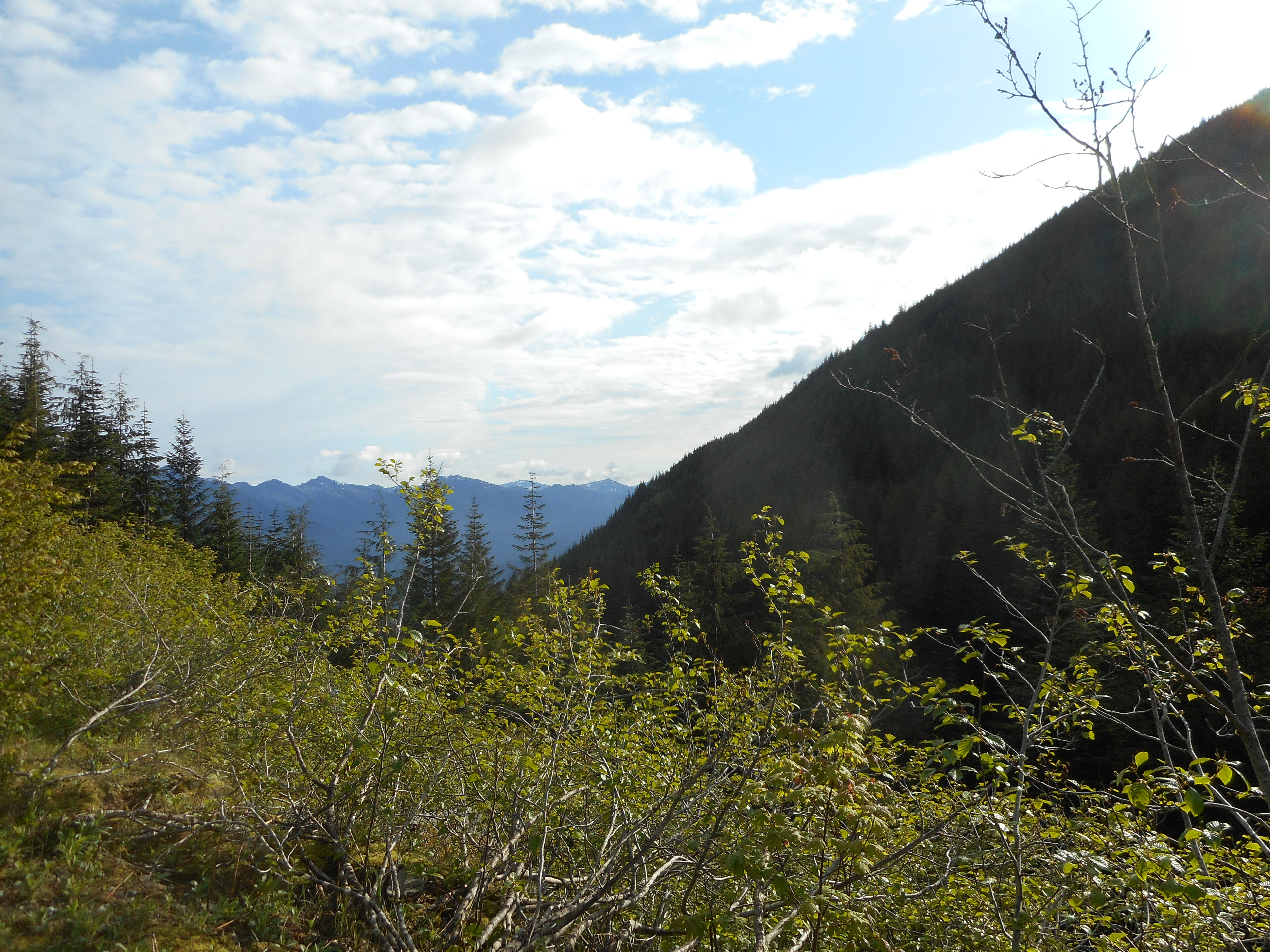
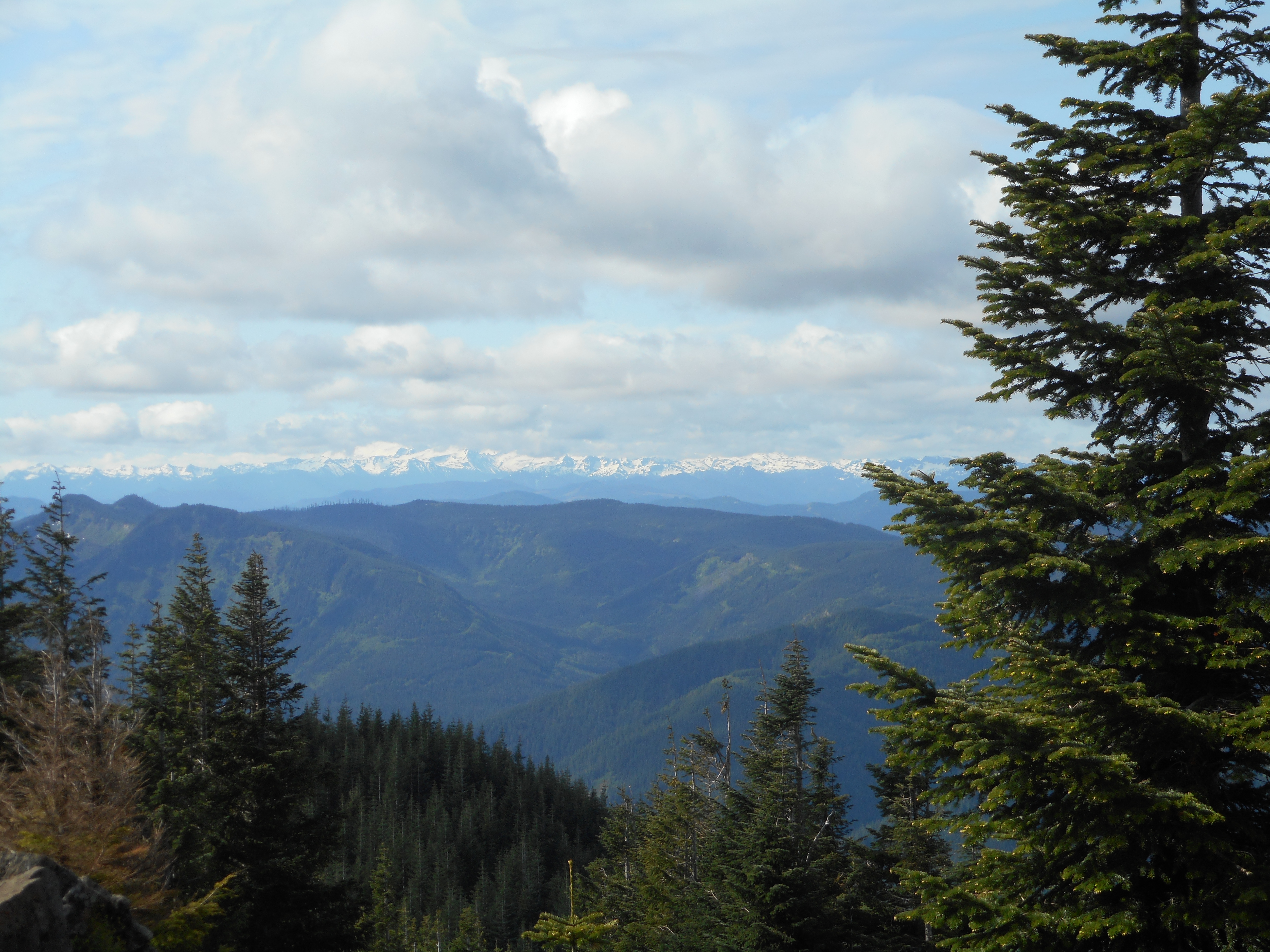
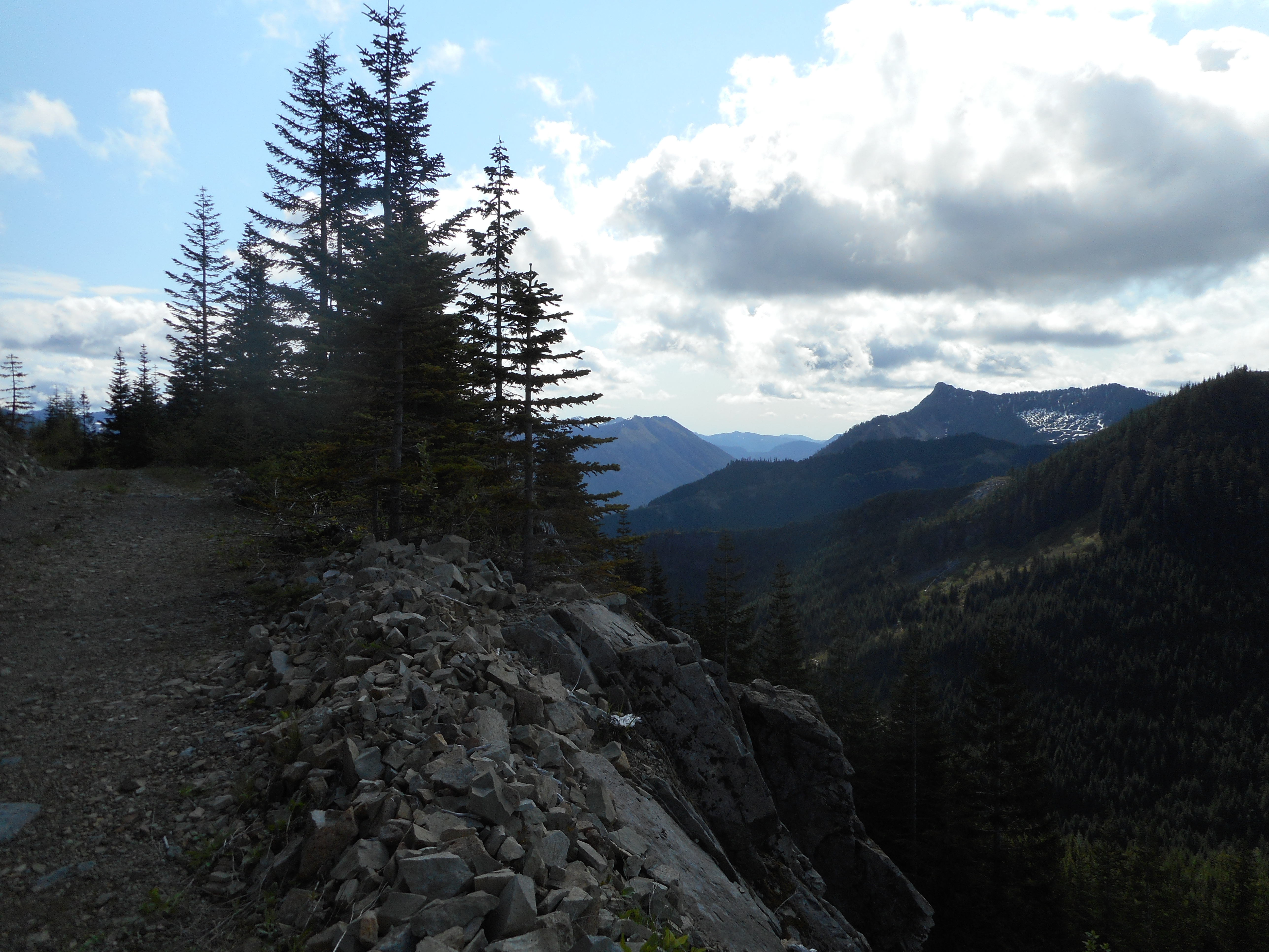
Otherwise, it was a great day.

Looking North
Looking North

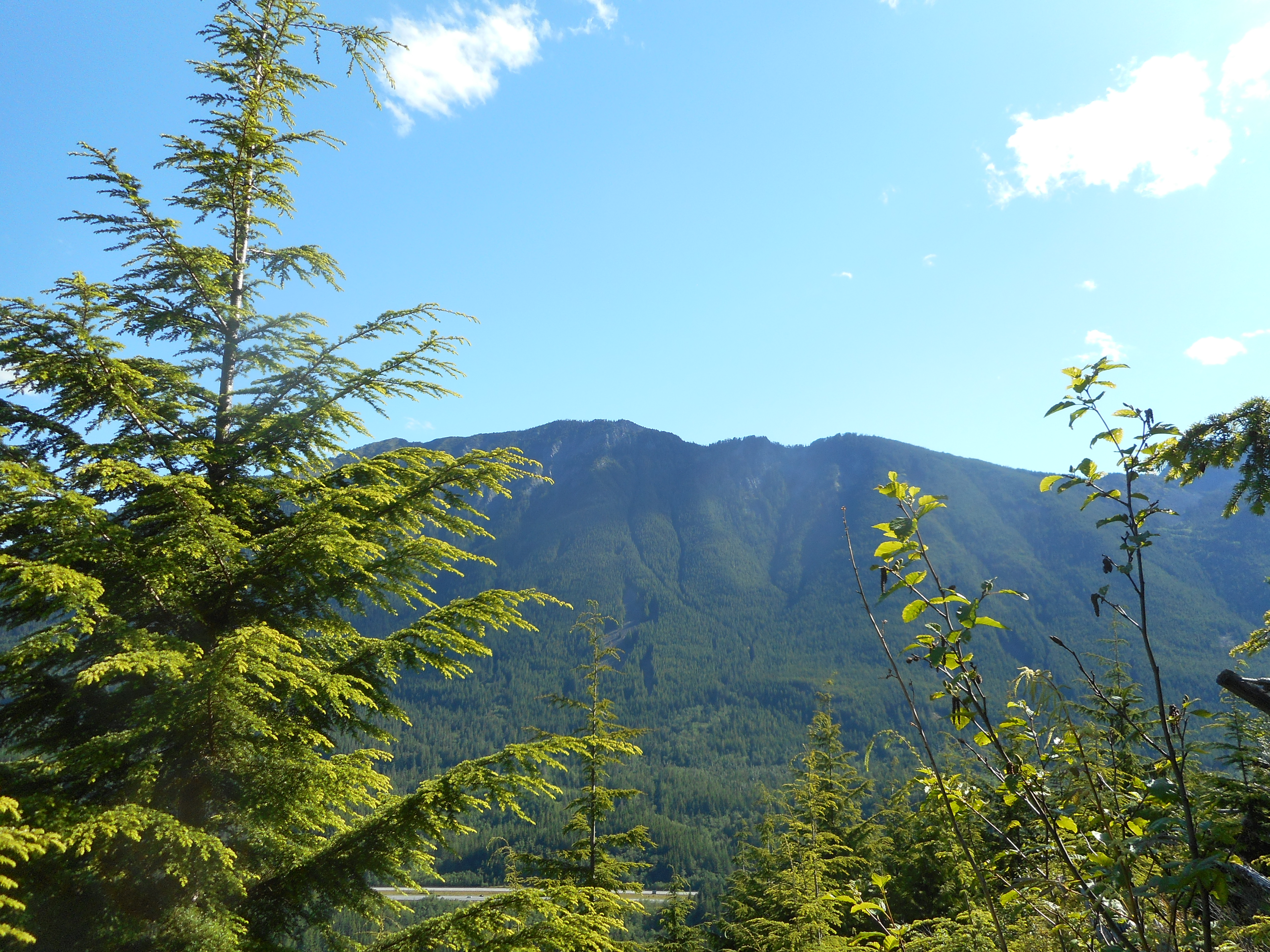
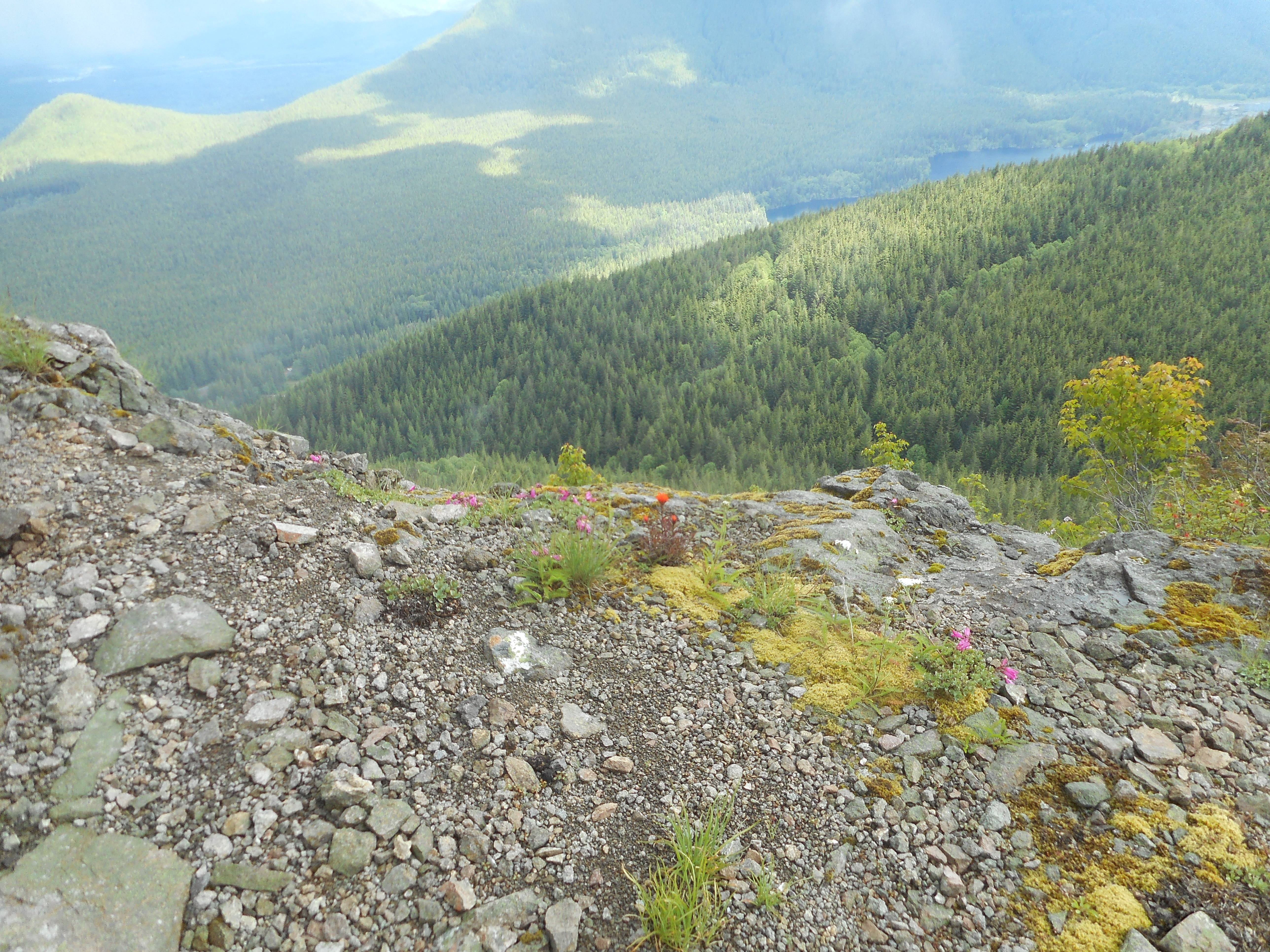
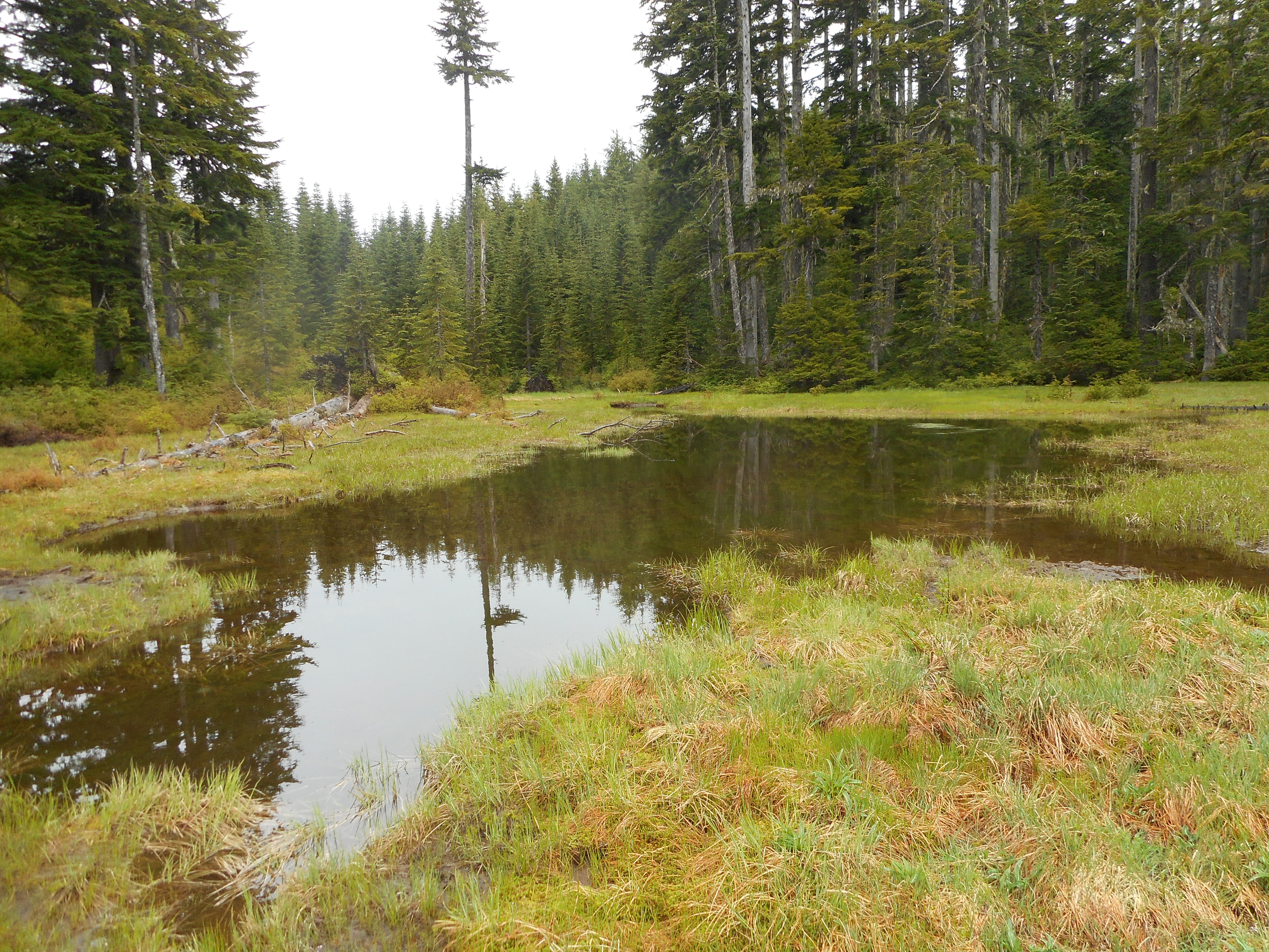
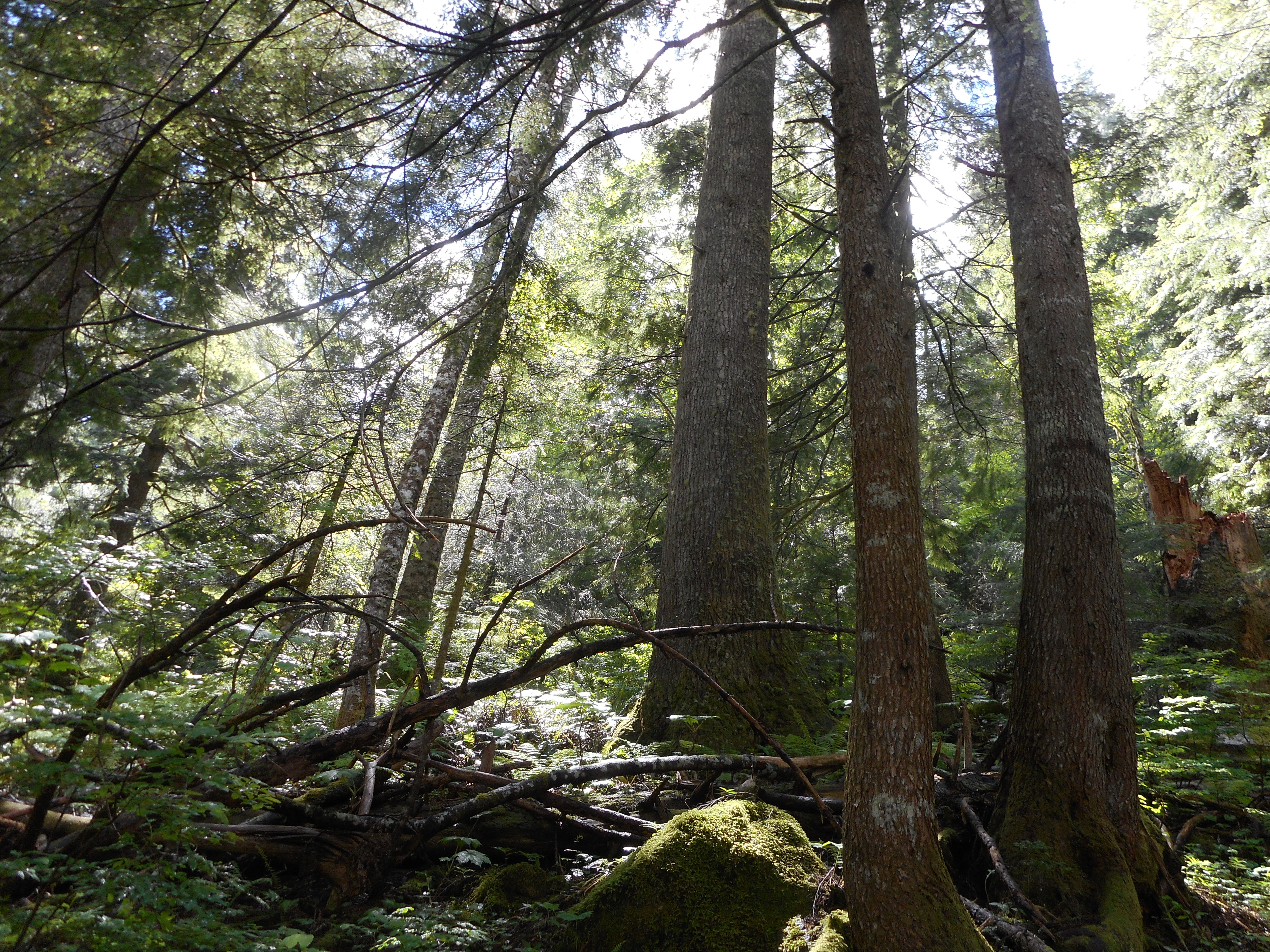
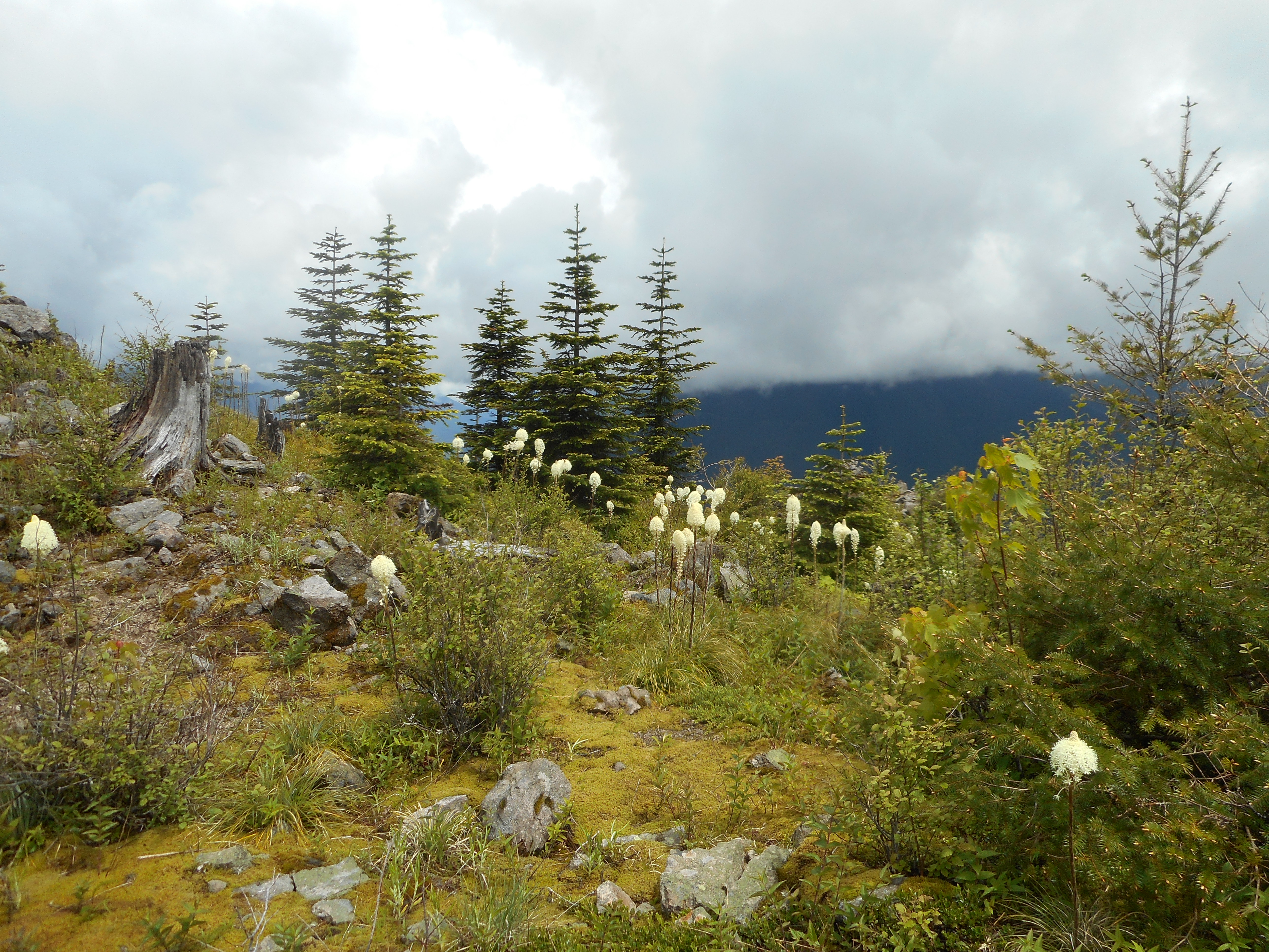
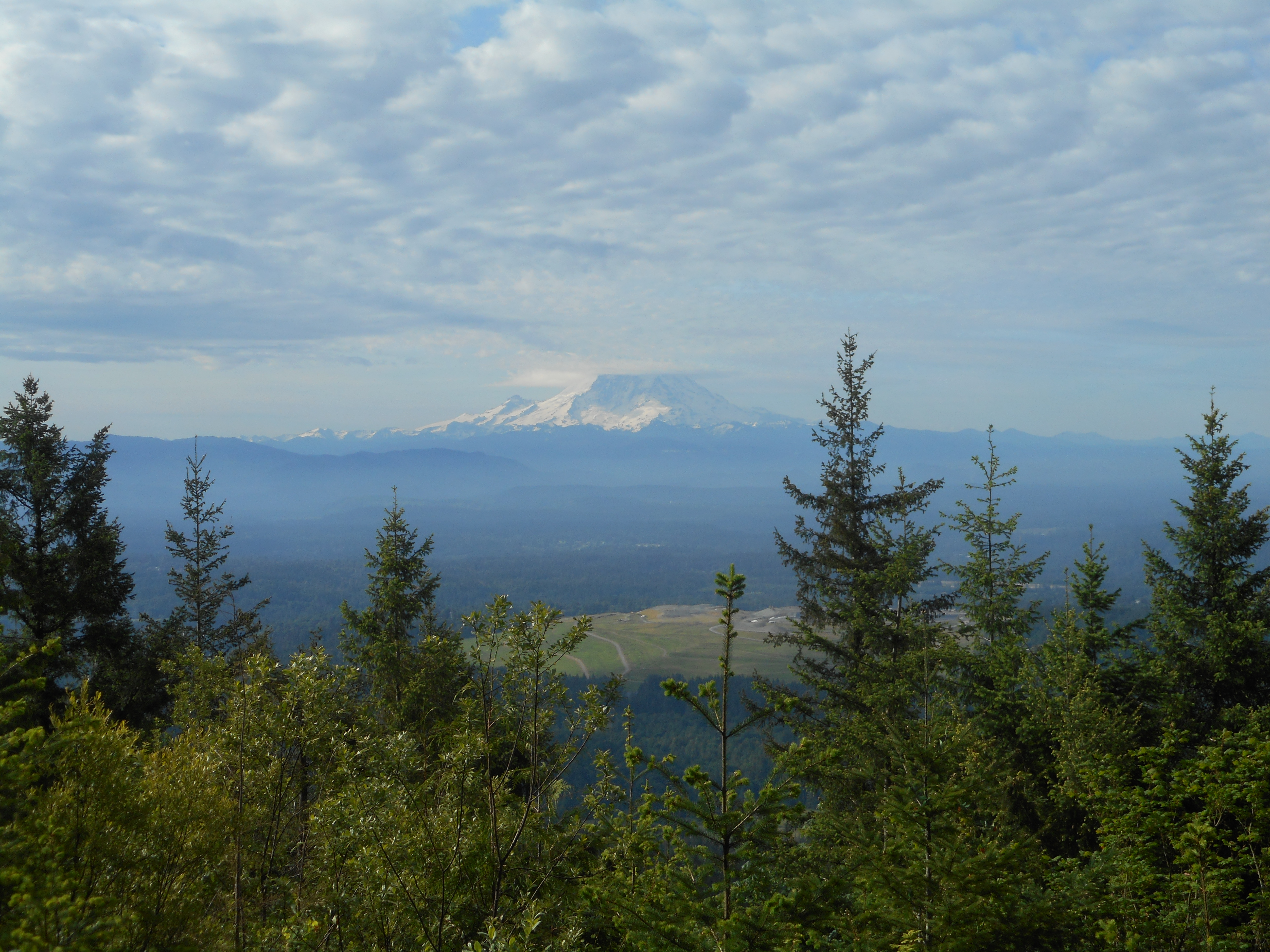
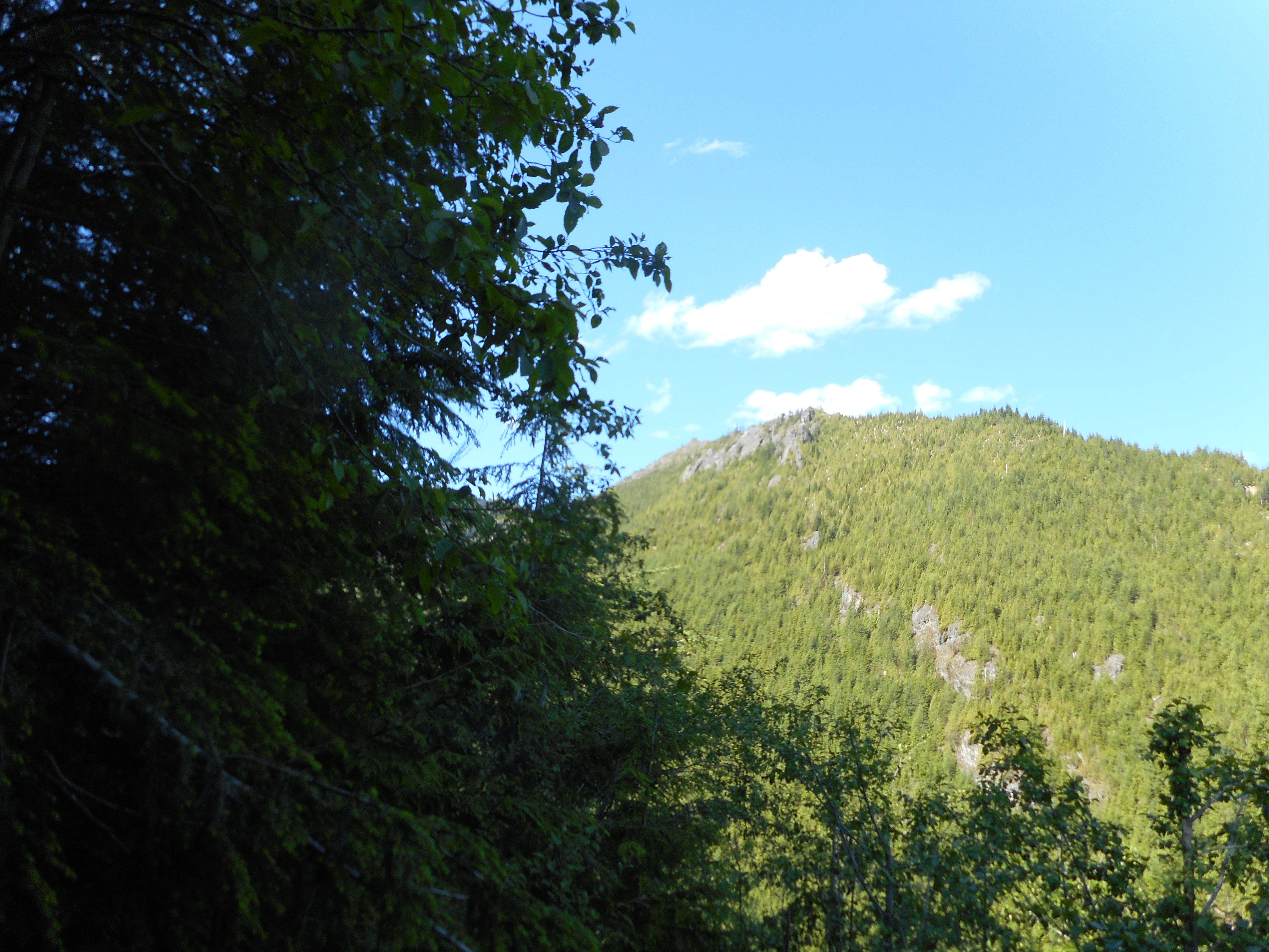
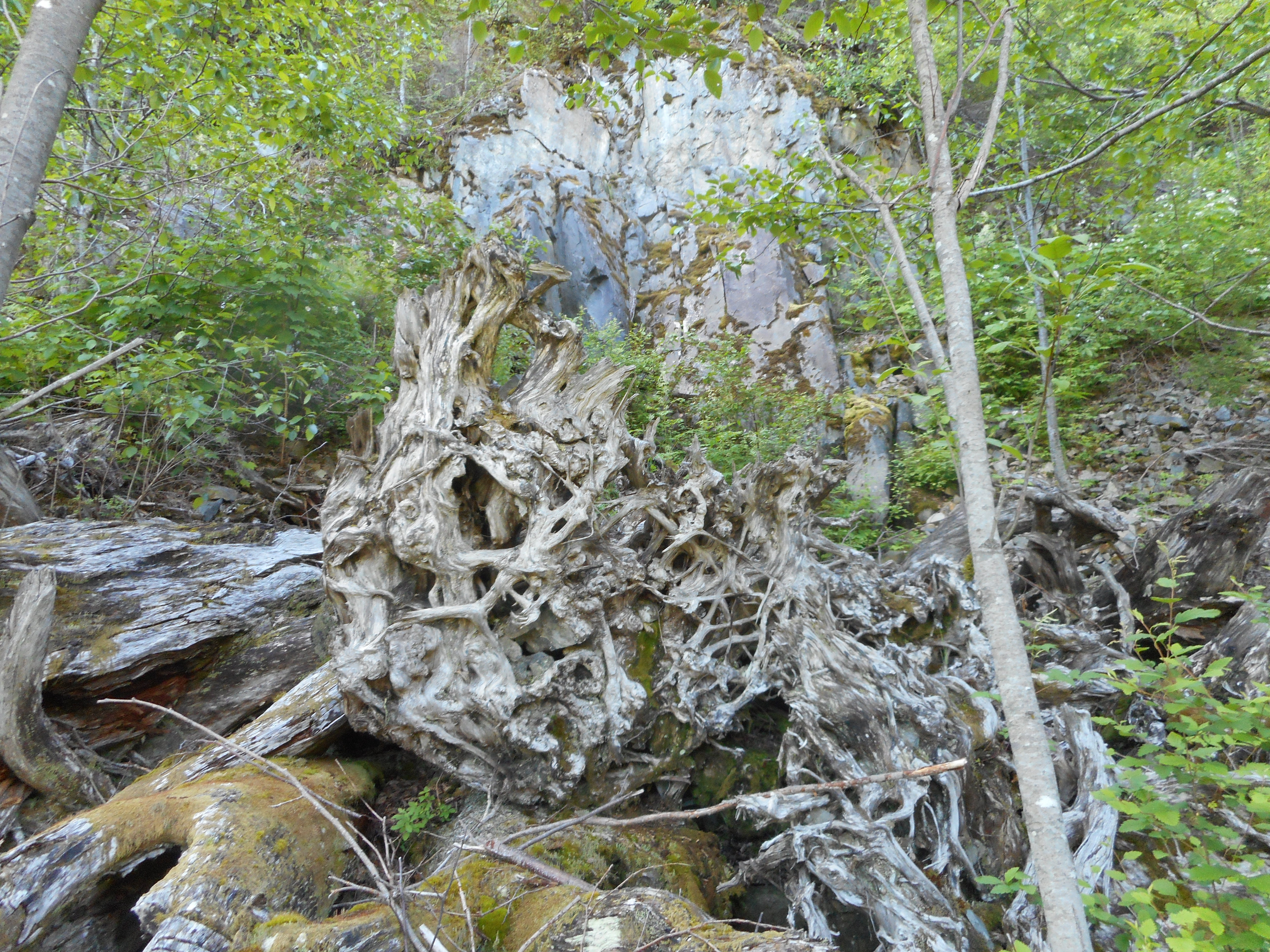
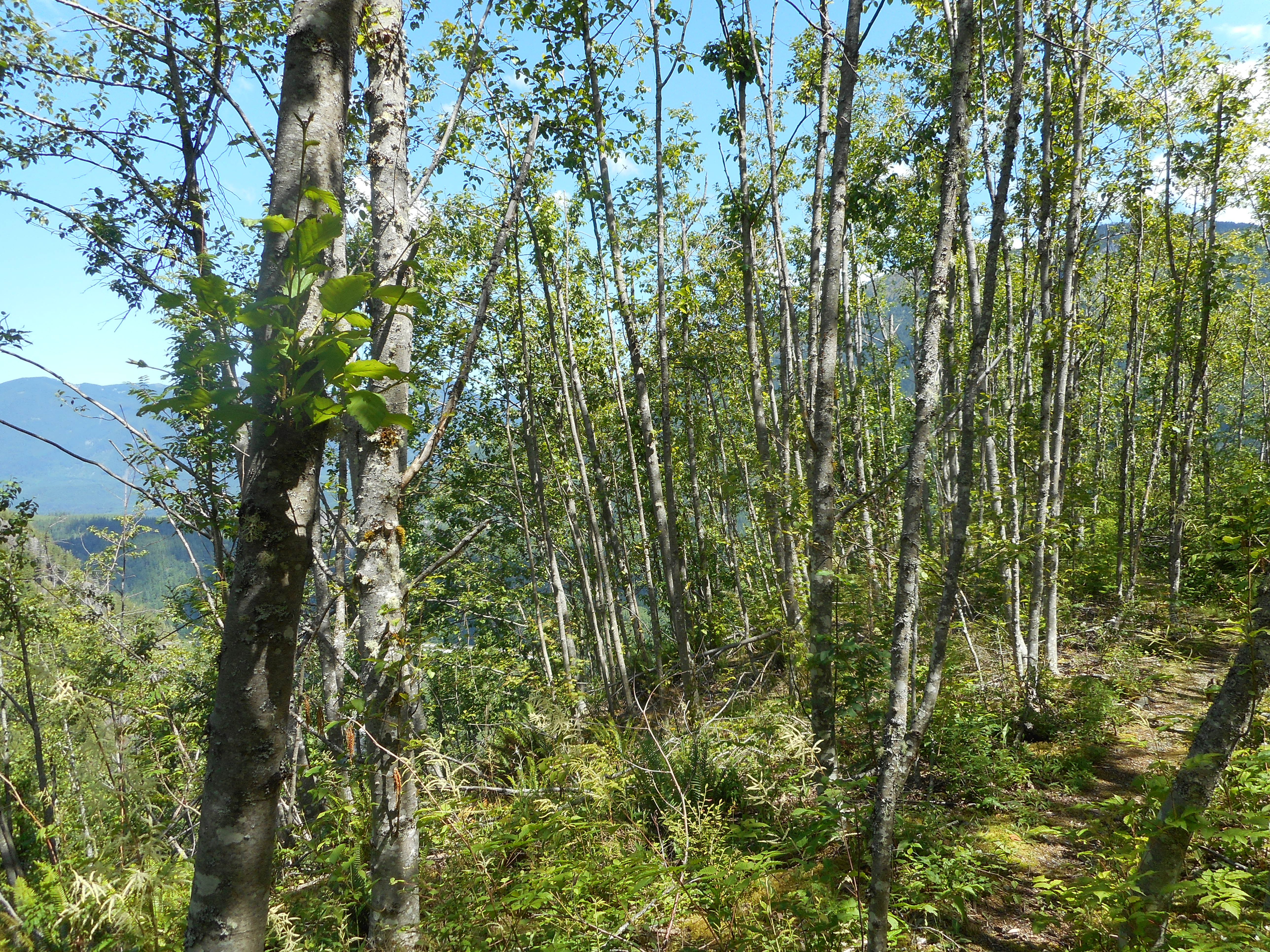
There are plenty of sights along this trail, which in spite of its unofficial status, is in pretty good shape.  It is just so steep!

Old Wood
Old Wood
Slide Alders
Slide Alders

About 2,200 feet of elevation gain and 5.75 miles.  A strange hike, I certainly never planned to go down the NF9021 service road partway and then back up but when the bullets are flying, I do think the best policy is to steer clear.

Google Earth Image of the Track

Spring Arrives in the Watershed Tour – 6/9/2018

On the Magic Ledge
On the Magic Ledge

I signed up for a brand new (as of 2018) Cedar River Watershed Education Center (CRWEC) tour: Spring Arrives in the Watershed.

Led by Rolf Gersonde, who, along with Bill Richards leads the Adventures in Forest Ecology tour, this superb tour of the Cedar River Watershed took us all over the watershed with a common theme: what happens when spring arrives?

Well, if I could remember it all I would doing really well.  Suffice it to say that we visited five different sites and at each site we learned about how the change of seasons affects trees and flowers and other plants as well as the birds that stay all winter and the birds that migrate into and out of the Watershed.

Check out this mountain meadow:

Mountain Meadow
Mountain Meadow

This one was the first of two we visited.  The second one was perhaps 100 yards downhill from this one but had very different features – the downhill meadow had the beginning of a stream, express-training the water into the reservoir, leading to different plants at different stages of spring development.

In the downhill meadow Rolf pointed out that the north side of the meadow had melted out before the south side, so the grasses and plants on the north side were already thriving whereas the same flora on the south side were still recovering from having been pressed down by several feet of snow.

These meadows are a favorite hangout for elk; one unfortunate citizen had a fatal encounter with a cougar or a bear:

Elk Bones
Elk Bones

We also visited an old growth stand, which provided the usual feelings of awe and humility:

Old Growth Stand
Old Growth Stand

Our first view point was beautiful, even though it was rainy and foggy at the time:

First View Point
First View Point

No doubt the highlight of the tour for all of us was the breathtaking flowers, rock formations and endless views at the second view point – I believe called Say’s Ledge.  We all climbed out of the van and our jaws dropped.

Rattlesnake Mountain
Looking NW
Looking NW
On The Ledge
On The Ledge

I was unable to count the number of different kinds of flowers on this ledge – I have more photos than I think feasible to upload but suffice it to say that, at this time of the year, the Watershed is a feast for the eyes.  And the nose – and, let’s face it, all five of our senses.

This tour had something for everyone.  We identified numerous bird calls, and trees, and flowers, learned about coyote scat, did a little hiking off trail, had rain and hail and sun and wind and calm, and we got to experience the watershed (which is off limits to most people most of the time) in a way that few people ever get to do.

Chester Morse Lake Close Up

Finally, at our last stop, we got to see Chester Morse Lake up close and personal.  When we hike in this area we see if from several thousand feet up – it sure looks bigger when you are standing by the shore.

A great tour and I hope they offer it again next year.  I am looking forward to doing the Old Growth Tour in August with Derek, who would have absolutely loved this one.


Mt. Washington/Great Wall 6/5/2018

Chester Morse Lake
Chester Morse Lake

Great solo hike today.  I went up the Mt. Washington main trail to the summit and descended via the Great Wall.

Aside from the fact that this is one of my favorite hikes, I wanted to get up there to check out the conditions.  Derek and his brother Ryan and I are scheduled to do an overnight hike 6/15-6/16 and we are planning to hit six peaks:

Mt. Wa trail to Great Wall; to Change Peak; back to Great Wall to Mt. Wa; down and back to the service road to Songbird Peak, where we will throw up the tents.

In the AM we want to hit Greenway, Chester Peak and (a stretch goal) McClellan Butte from the west.

But I hadn’t been up to Mt. Wa and the Great Wall for awhile.  Based on trip reports I figured it was snow-free but I wanted to check that out and also check the connection between the Great Wall and the Great Wall Connector trail – when last I was up there I had left flagging tape to mark where you bushwhack to the connector trail.

But today I noticed someone has created a “real” trail, marked well with tape and a cairn, and no need to balance on blown down trees.

Anyway, the route is totally snow-free and I don’t see how any topo condition should stop us.  We are just not sure about the shape of the trail when it gets near and then goes past (east) Chester Peak.

Based on Google Earth images and what we have seen from a distance it looks like you can take a service road to just south of the Chester summit and scramble to the top.  But I guess we will figure that out when we encounter it.

A lonely hike today.  I did not see a single person, up or down, the entire way, until I was back in the parking lot.  Never have I met zero people on a Mt. Washington hike.  One for the ages.

As usual, the views are so much fun and inspirational:

NE View from 3200'
NE View from 3200′
Near Summit Looking South
Typical Great Wall View

Interesting Halloween-like plant:

Green and Yellow Fungi

Garmin discontinued the service where you could upload a GPX track and get a permanent link to a display and the stats.  So I had to manually extract today’s track and bring it into other utilities.

3,300 feet of elevation gain over 9.8 miles.  Nice!

A Google Earth image of the track.  Today’s track is the blue line.

Track
Track

Margaret’s Way 6/3/2018

Cloud-Capped Rainier

Carl and I hiked Margaret’s Way today.  I missed the Saturday hike for a great reason.  I was asked to get into the pool with my 3 year-old grandson Camden for his first swimming lesson.  Talk about having fun!

Today was quite lovely, a great hike in the woods, cool weather, enough elevation gain to get a decent workout but not so strenuous that the legs will be sore tomorrow.

Summer is knocking on the door, I am thinking of doing a solo hike on Tuesday to McClellan Butte, which I believe is now safe (no avalanche danger).  We shall see.