McClellan Butte solo – 6/26/2016

Sunday morning coming down

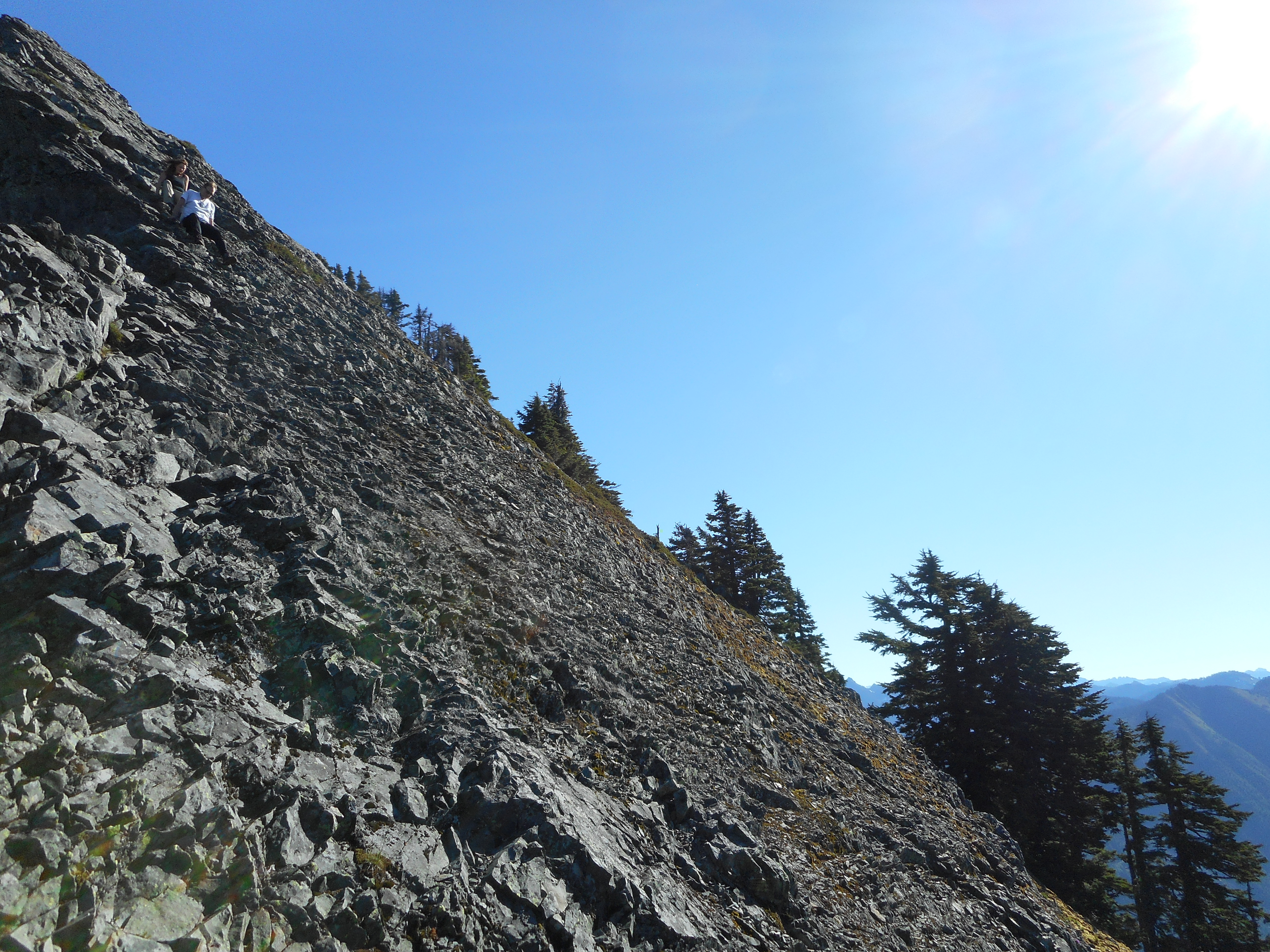
As I got to the base of the scramble at the summit a couple I had seen leave the trail head a few minutes before me was coming down from on top of the scramble.  Good job!  Me, I’m chicken of climbing up there.  Here is what it looks like if you fall:

Sharp dropoff
Sharp dropoff

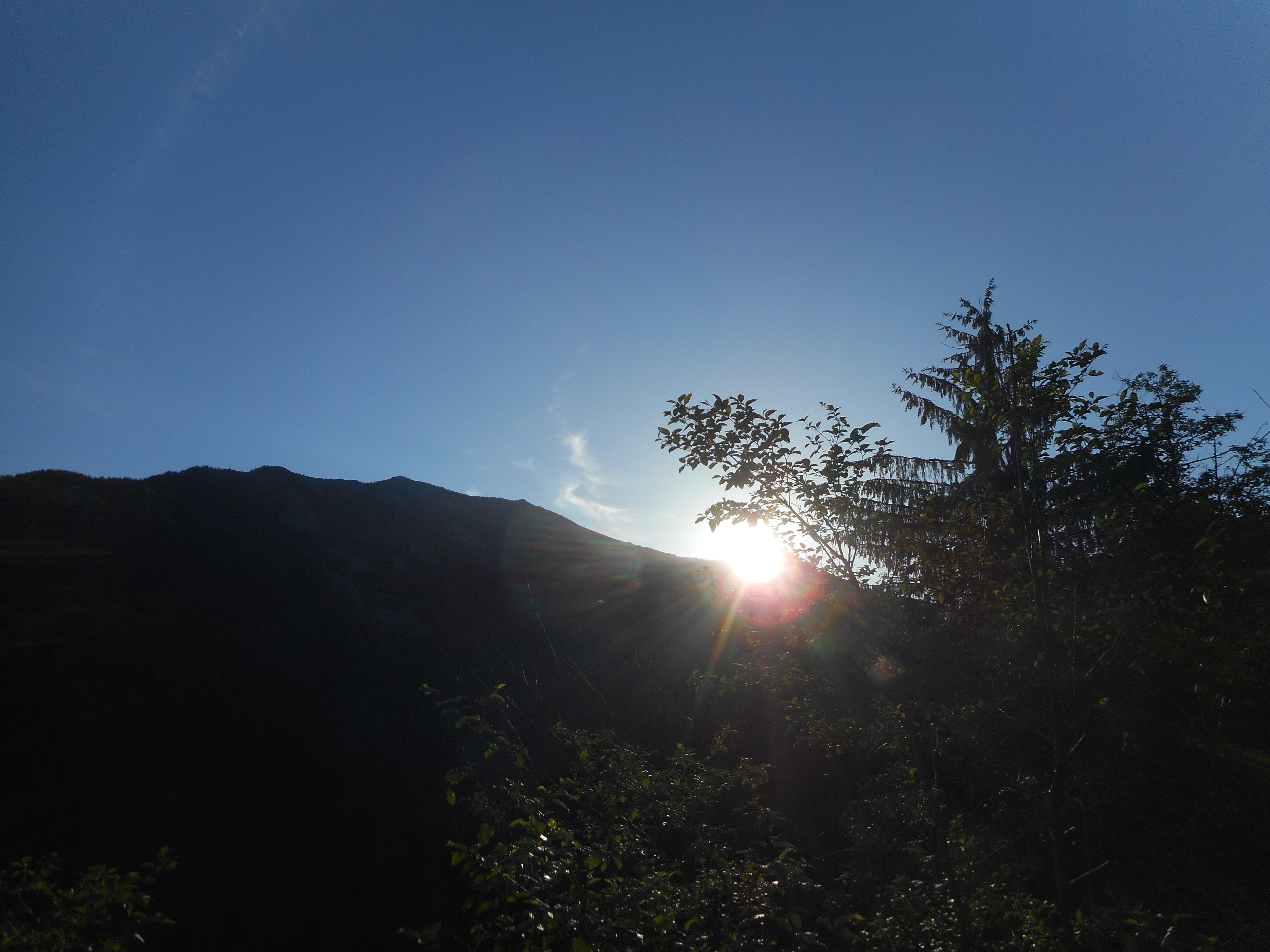
Great day for this hike.  I left the car to head up the trail about 5:10 am and I was not first out (see above).  But I was up there second and had the summit to myself for a while.  As I hiked down many, many people passed me going up.  And why not, a Sunday in June with perfect (albeit slightly warm) weather.

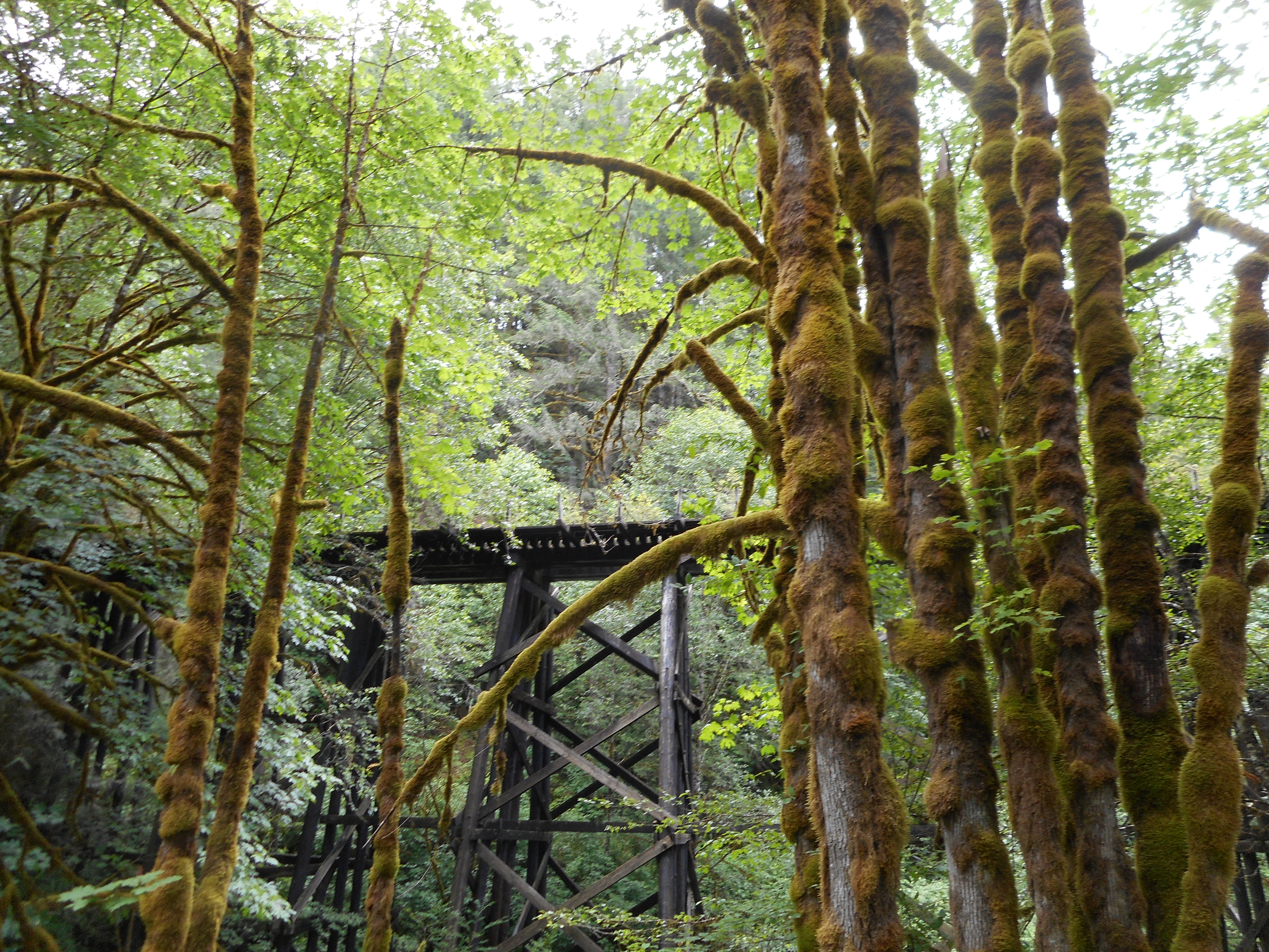
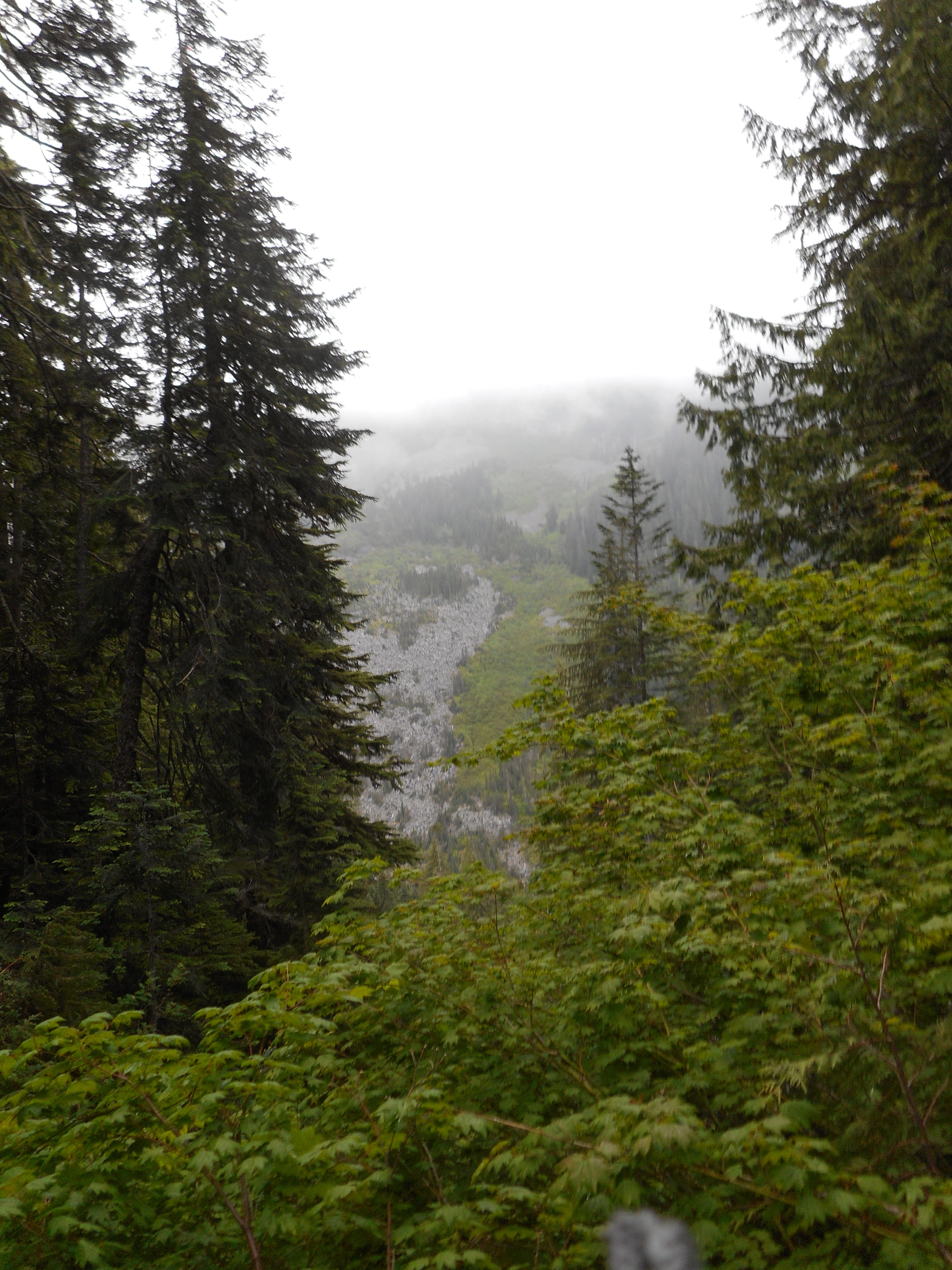
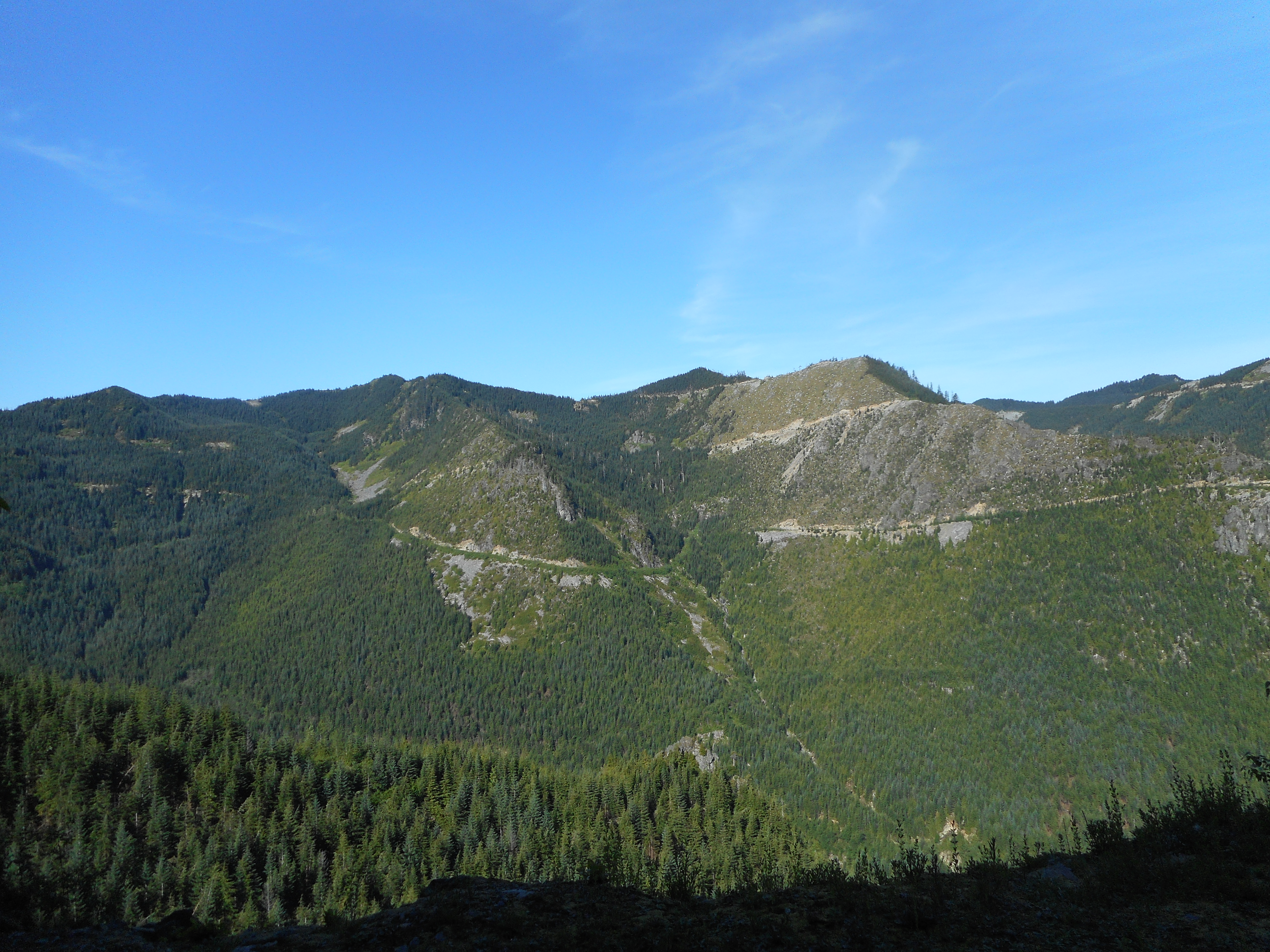
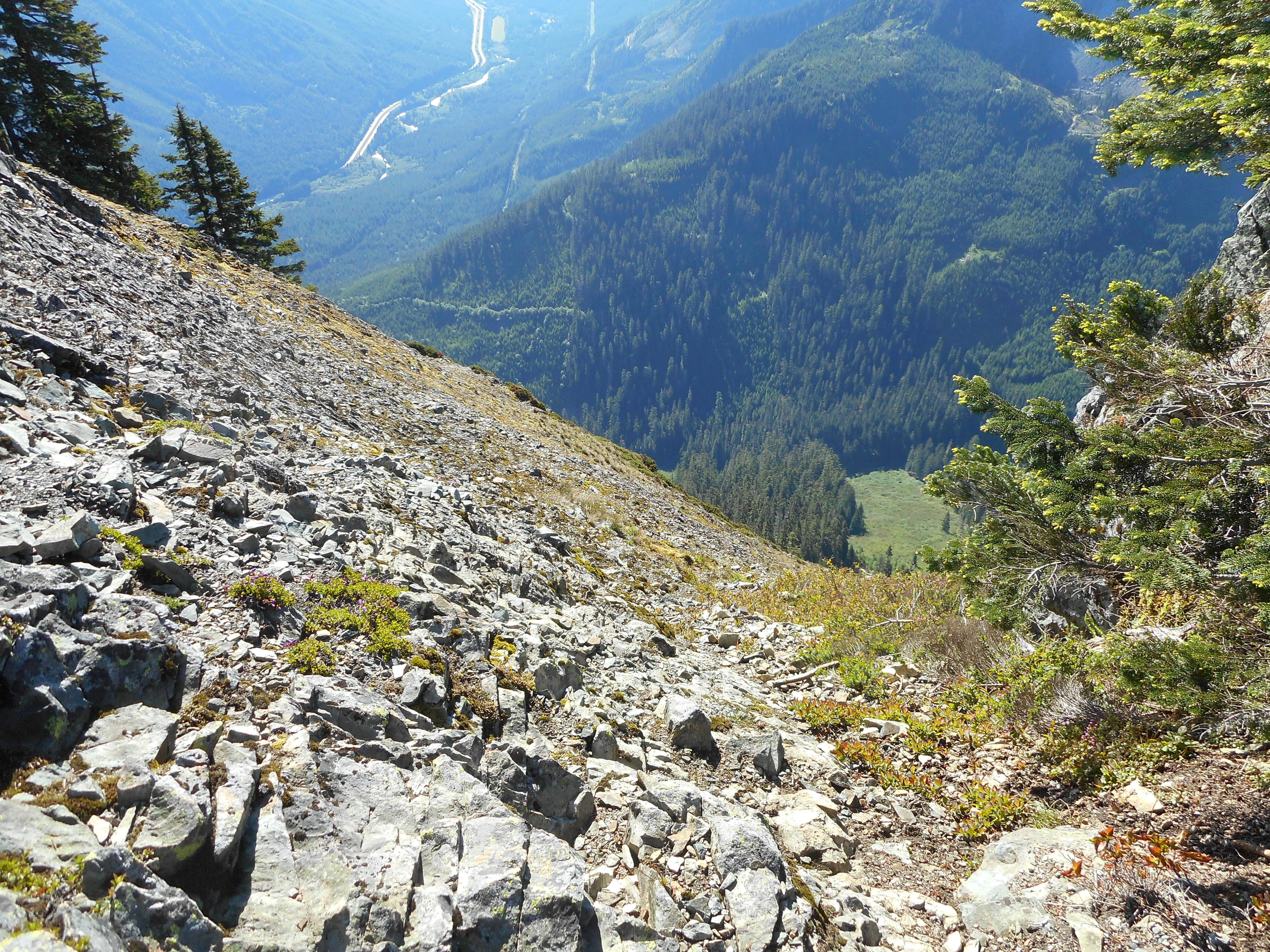
There is one very pesky avalanche chute to negotiate.  This would have been even tougher than when we were up there looking for Mt. Kent except some kind soul put a very helpful rope up:

Helpful rope
Helpful rope

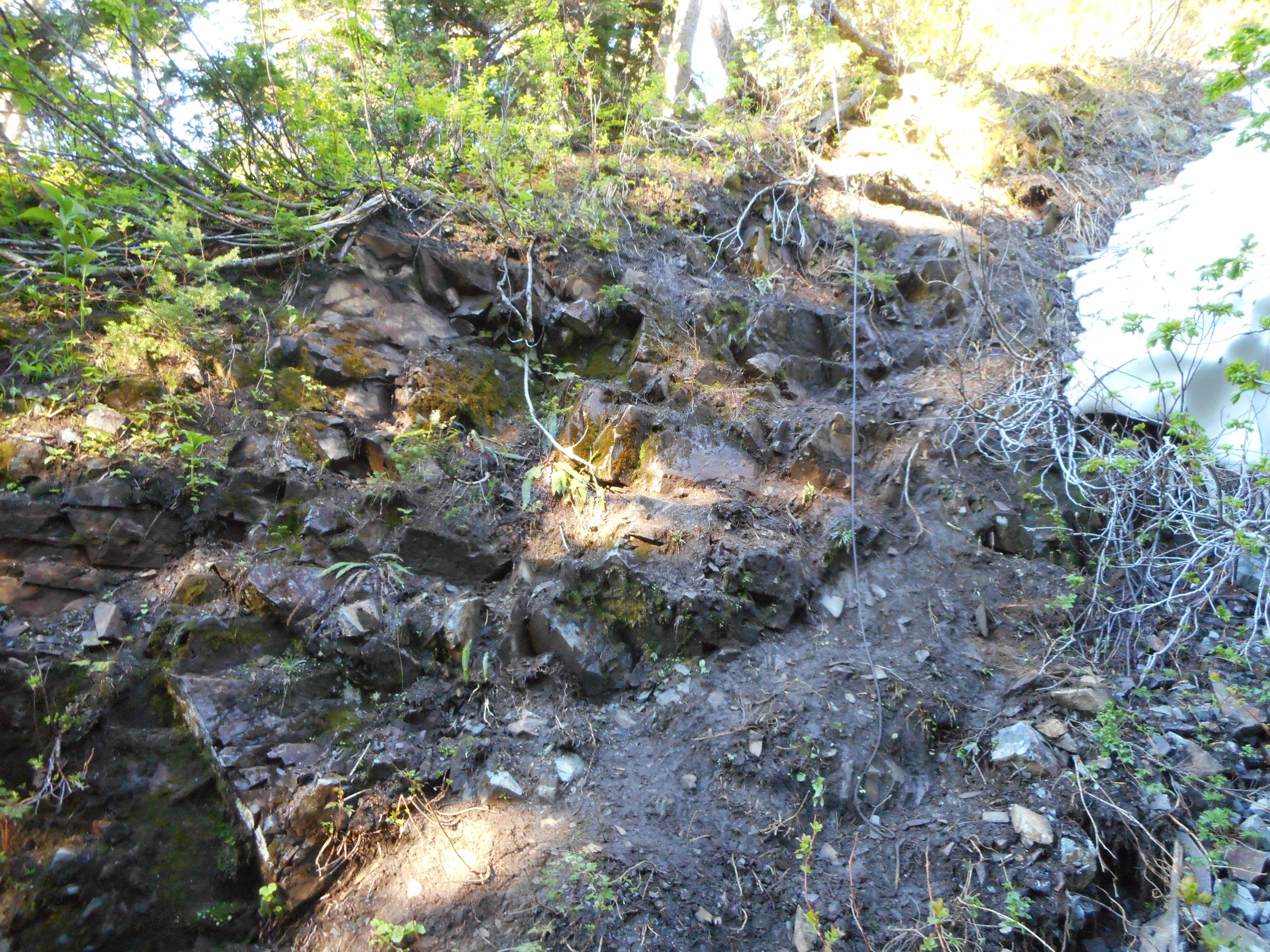
Without that rope I am not sure how I would have gotten down.  As it is I have rope burns on my right hand.

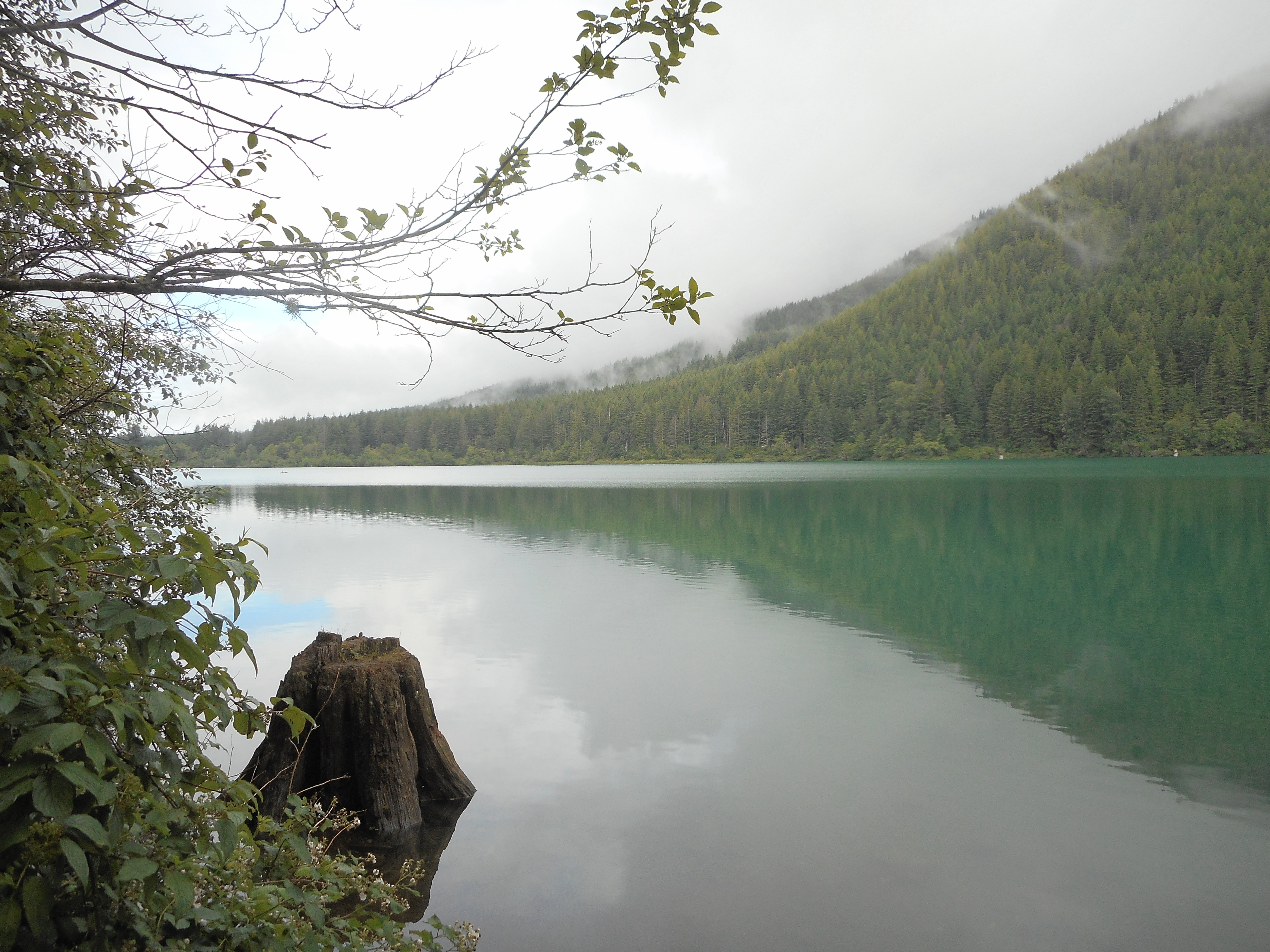
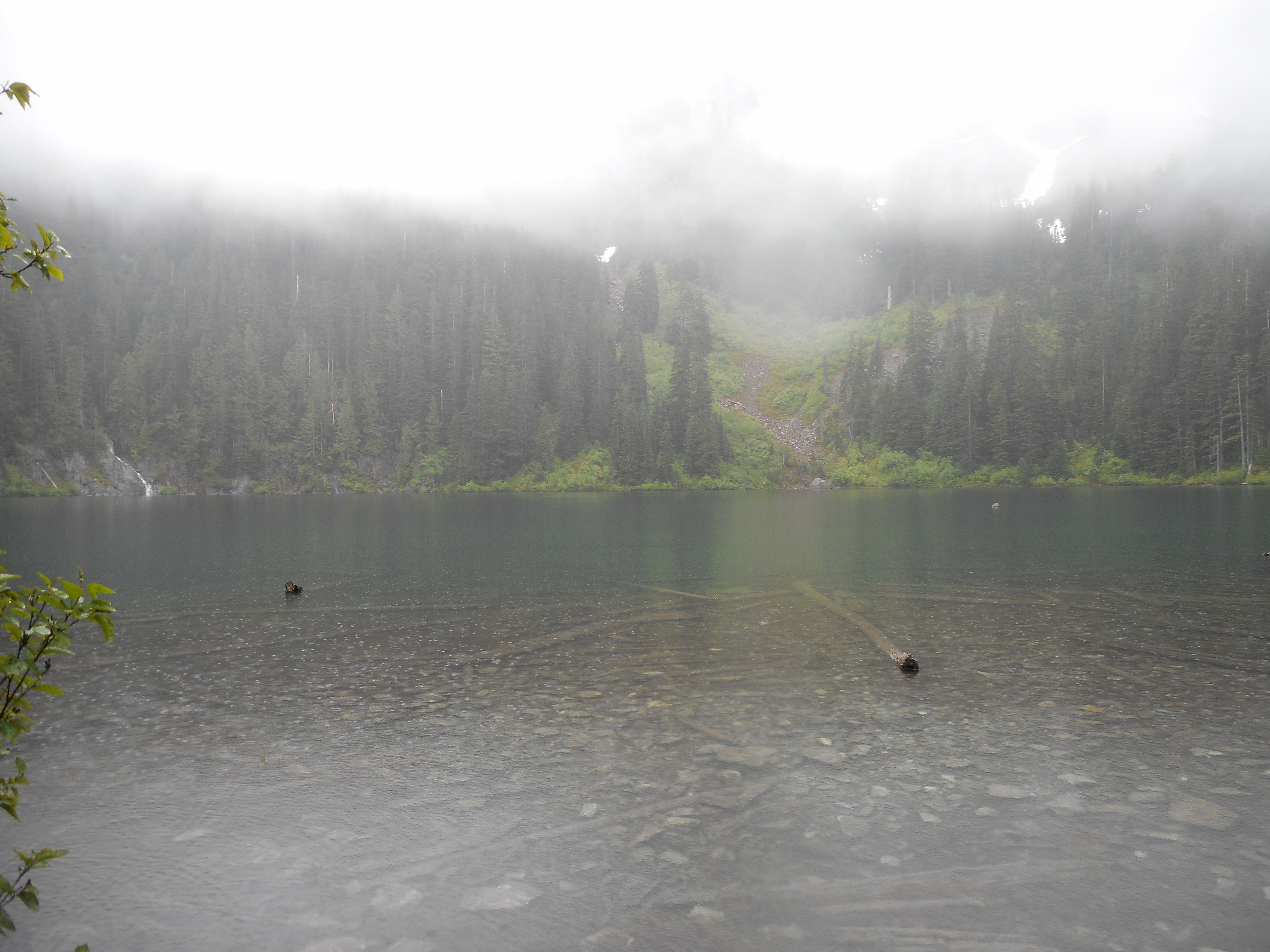
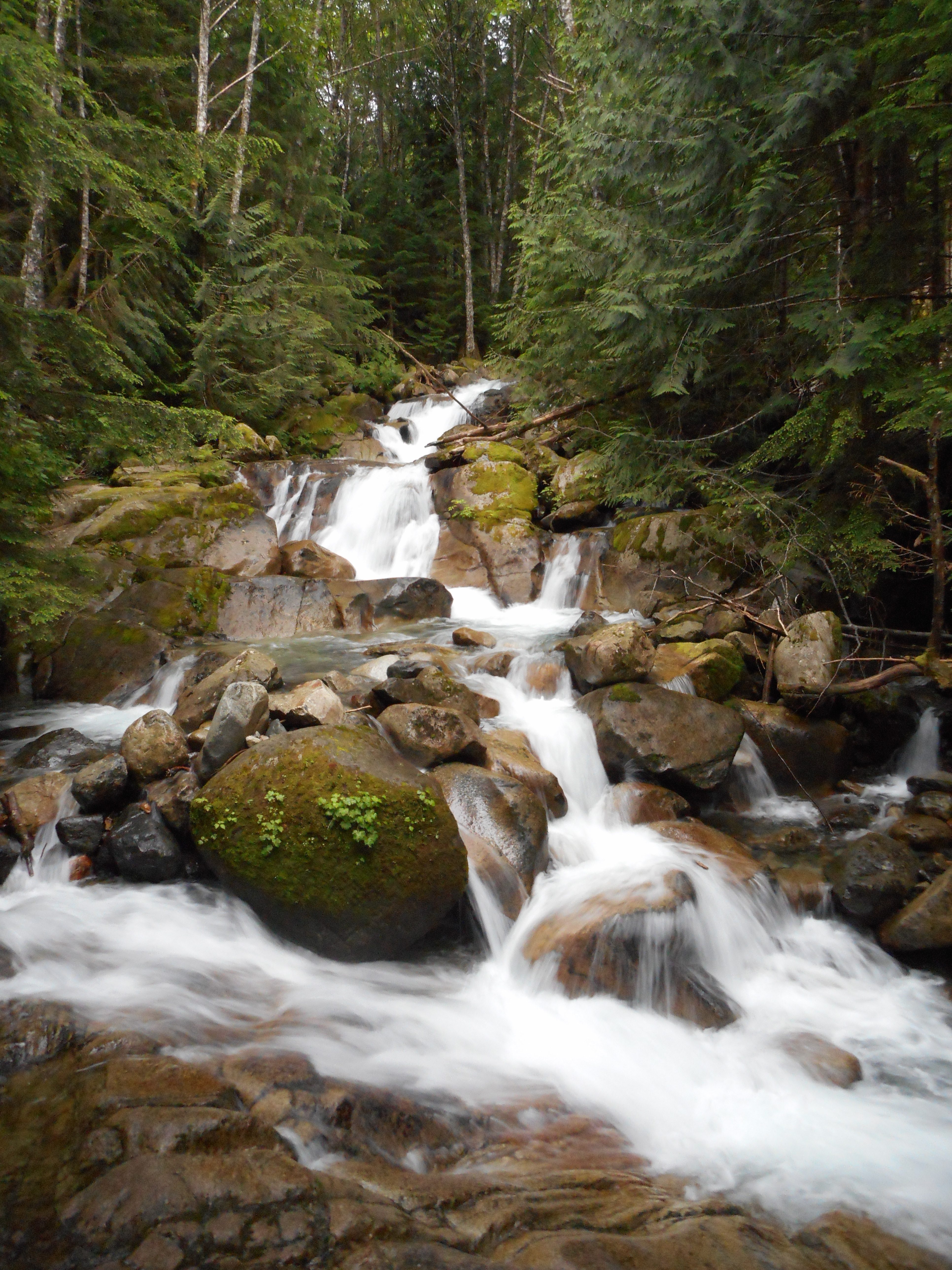
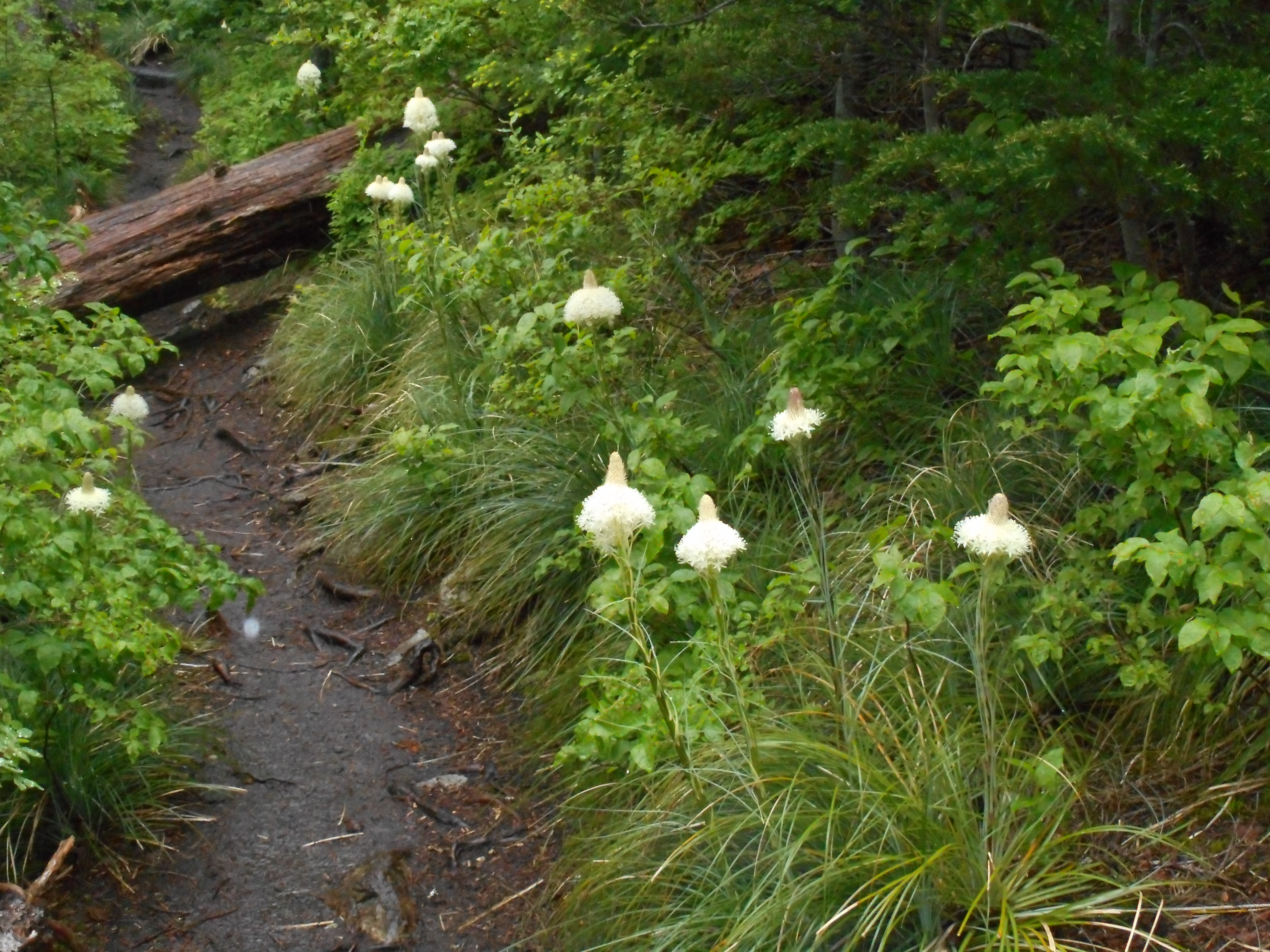
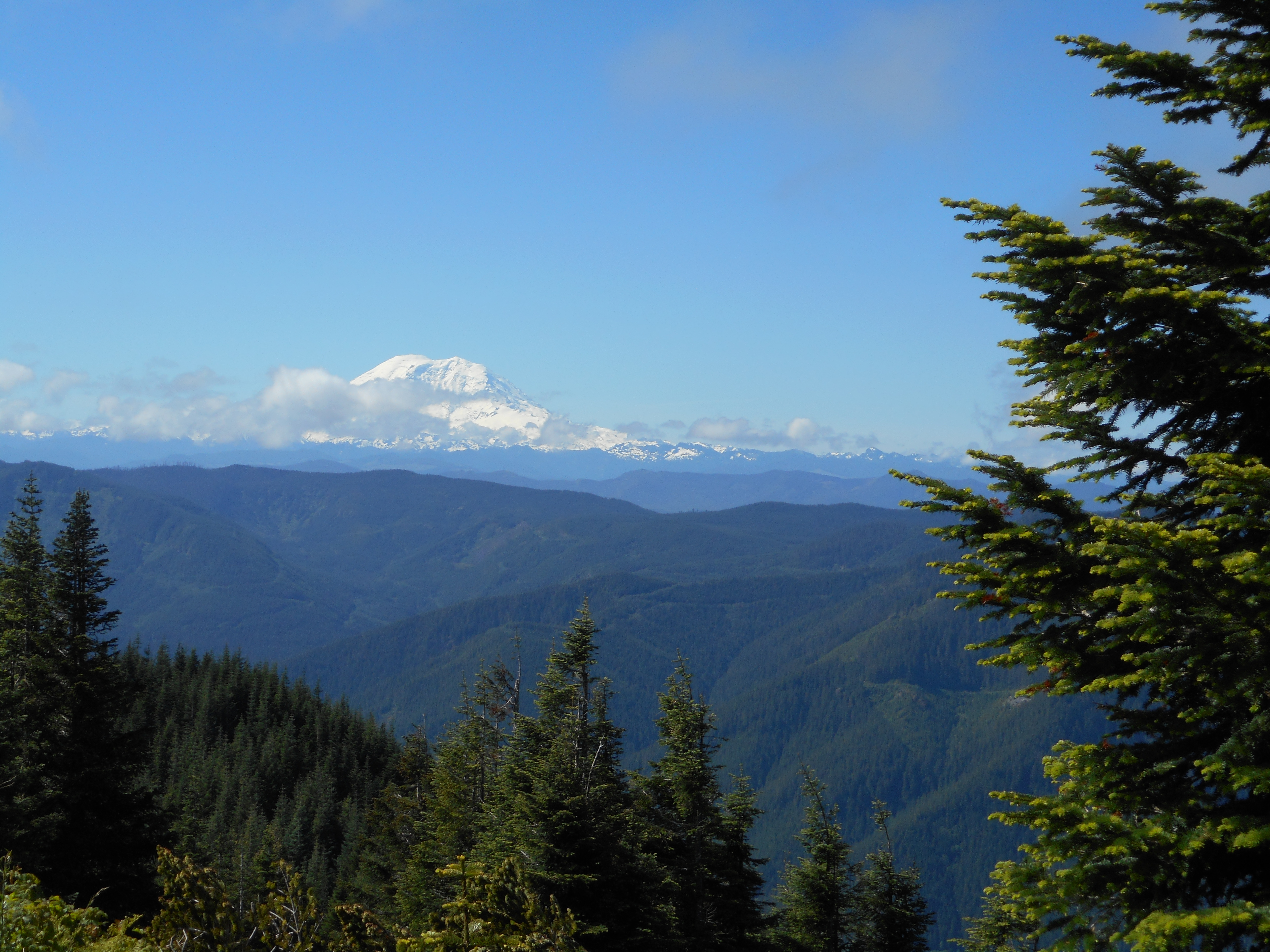
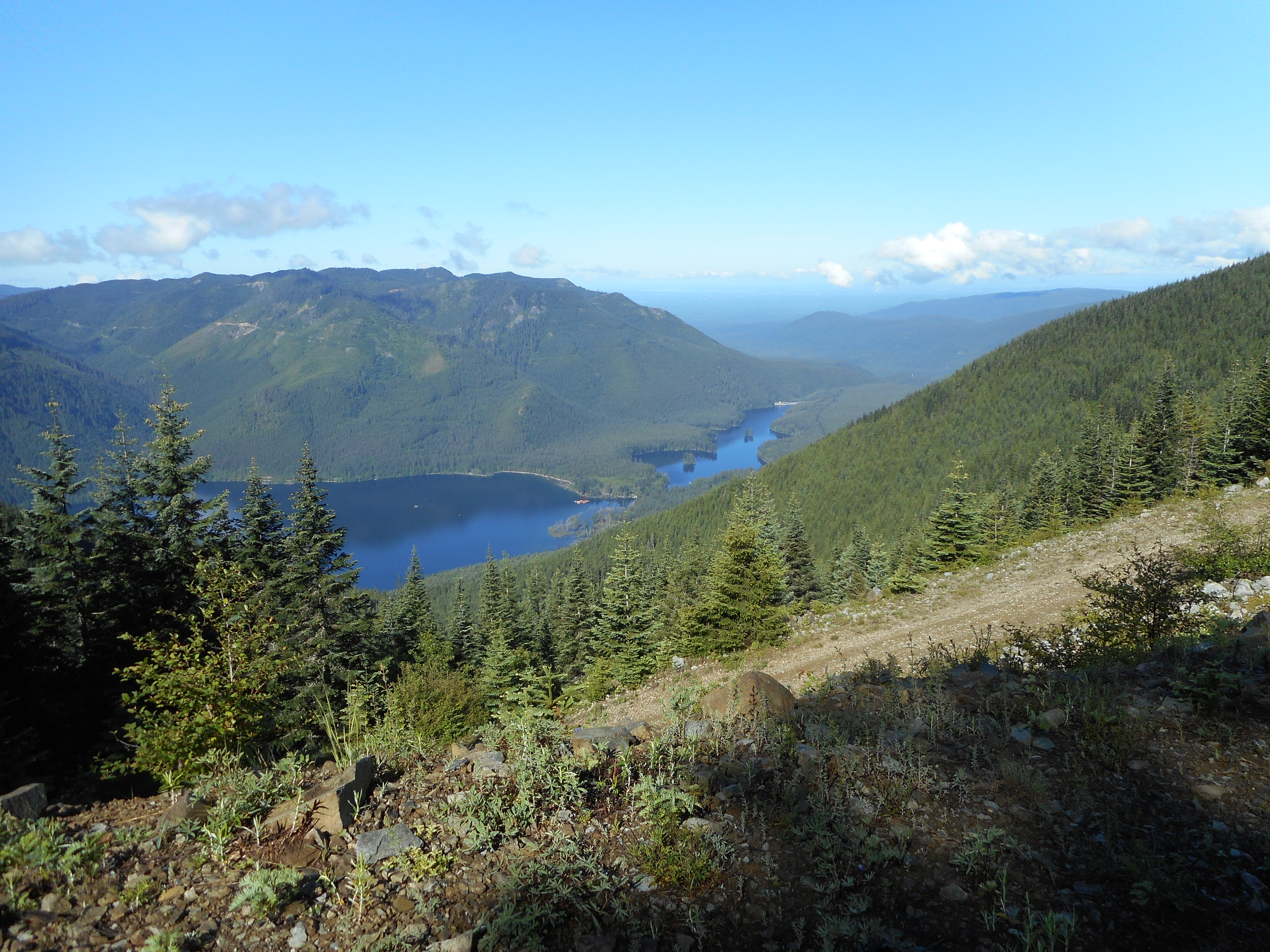
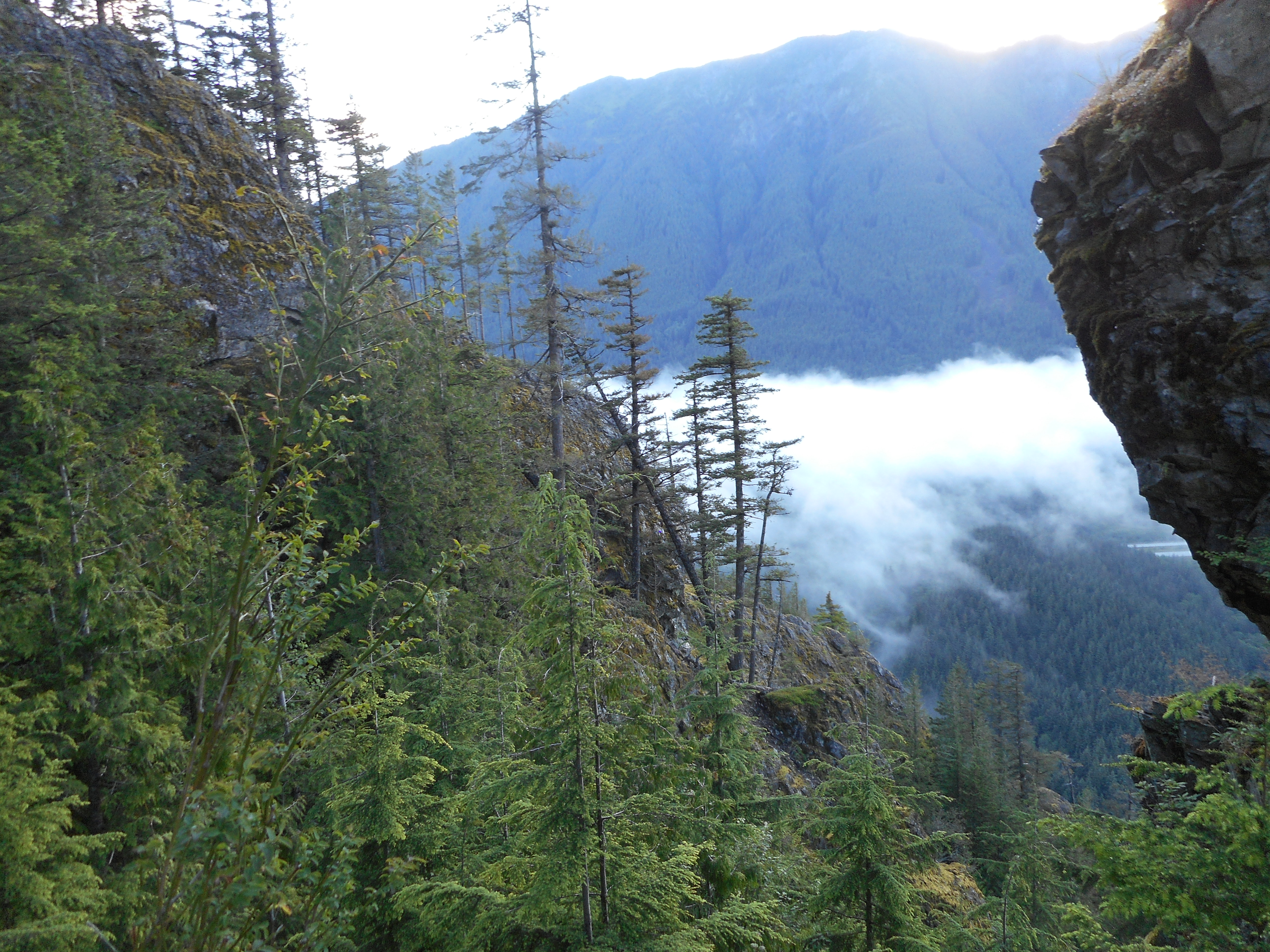
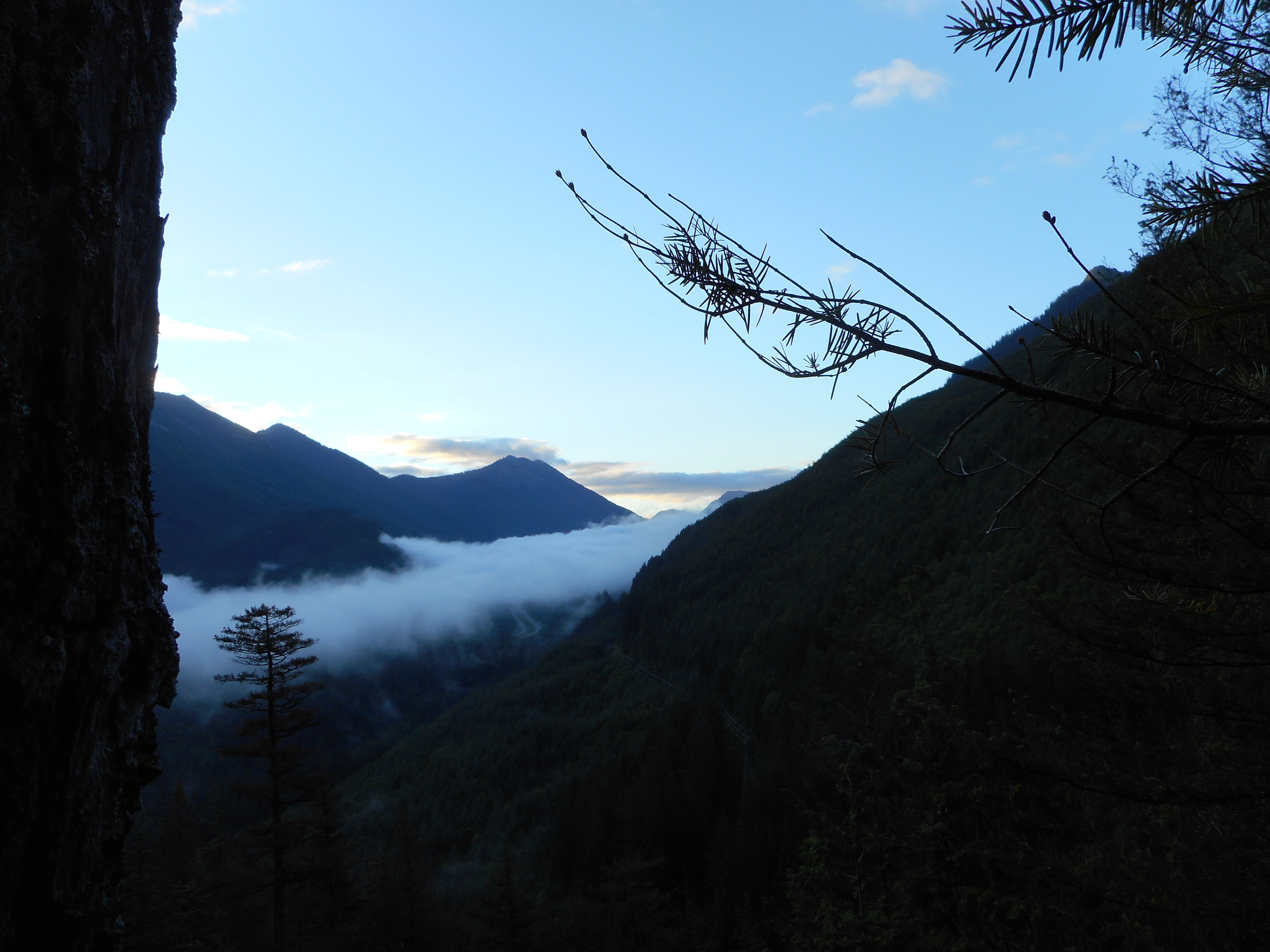
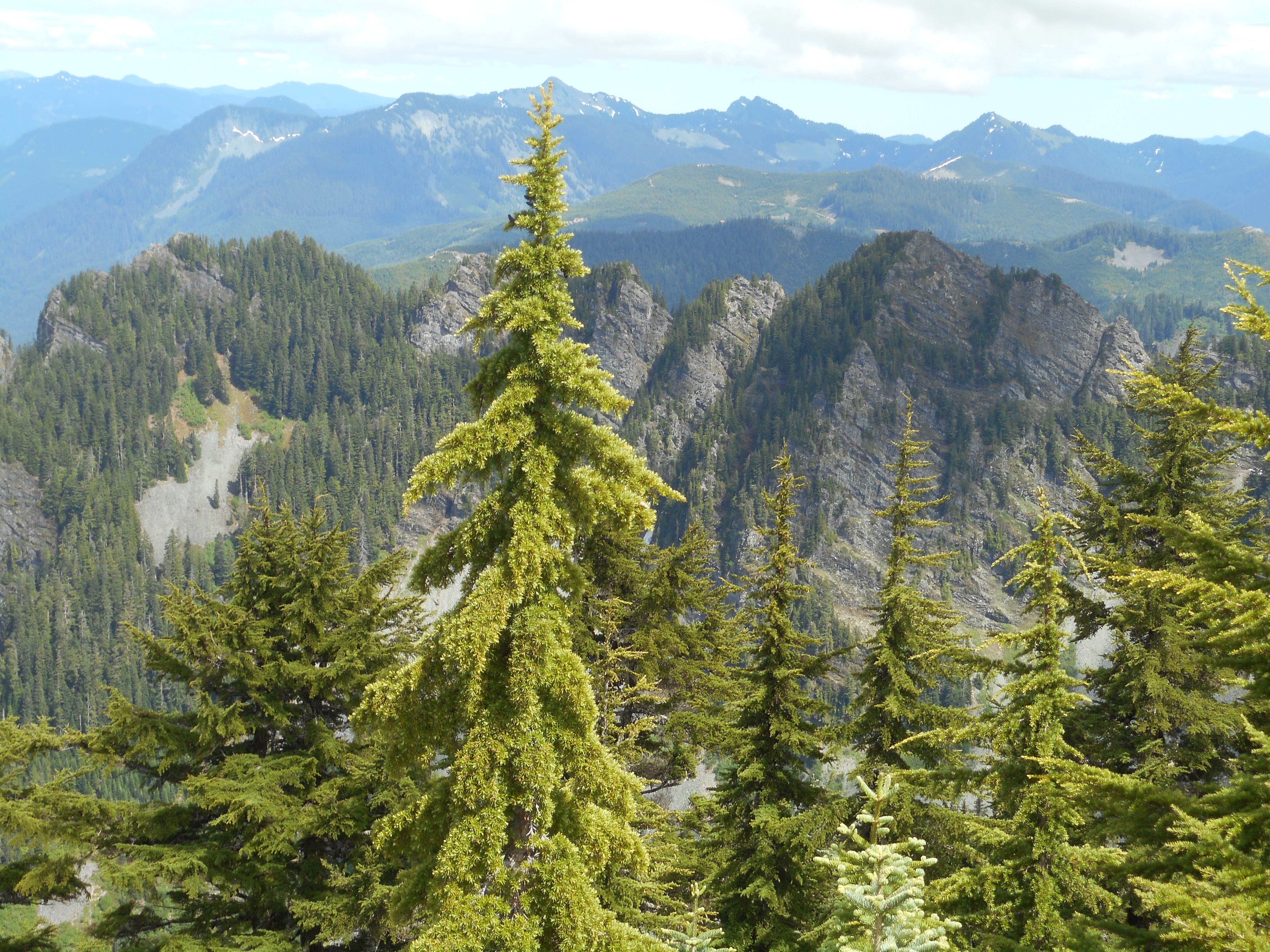
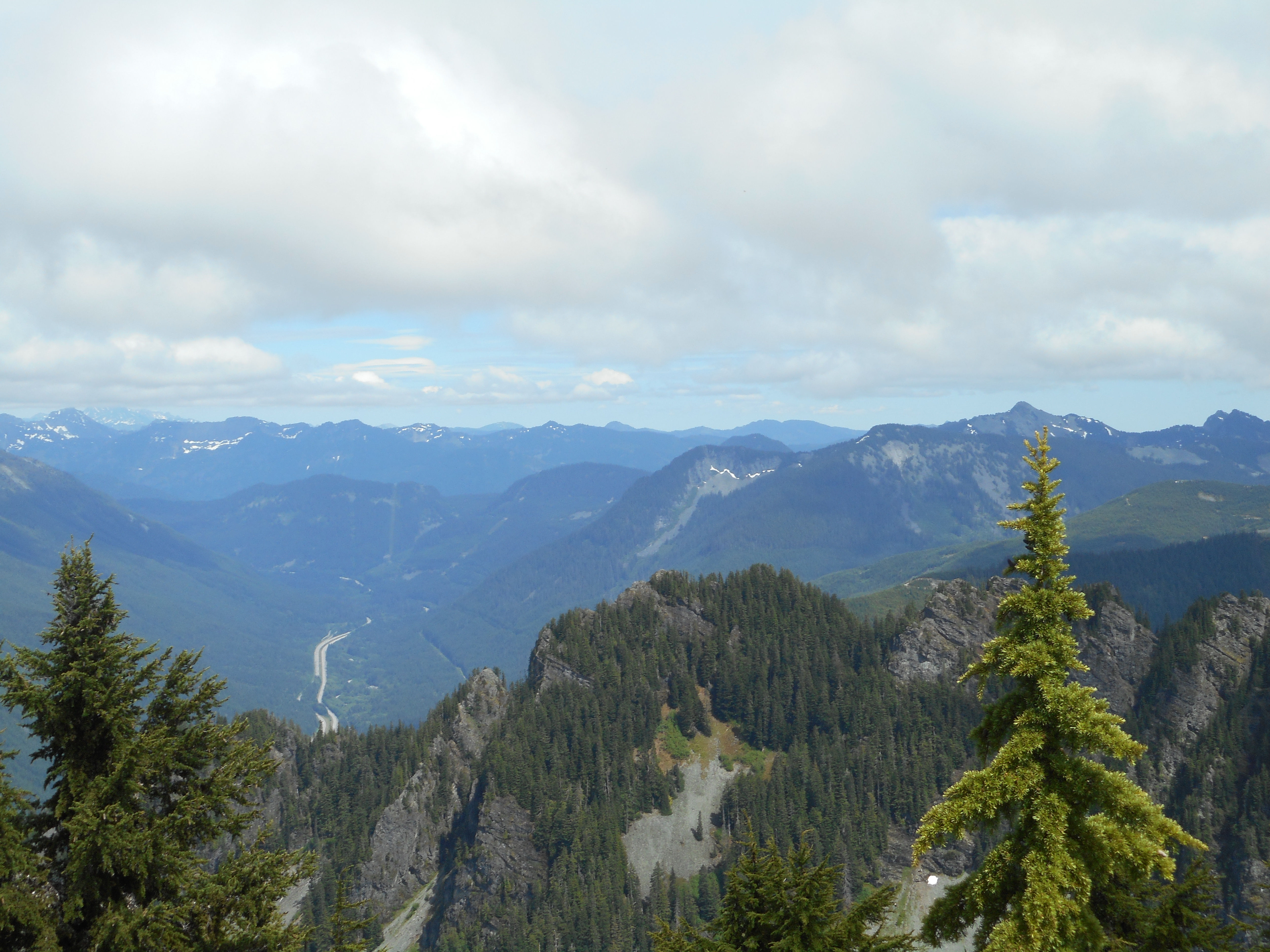
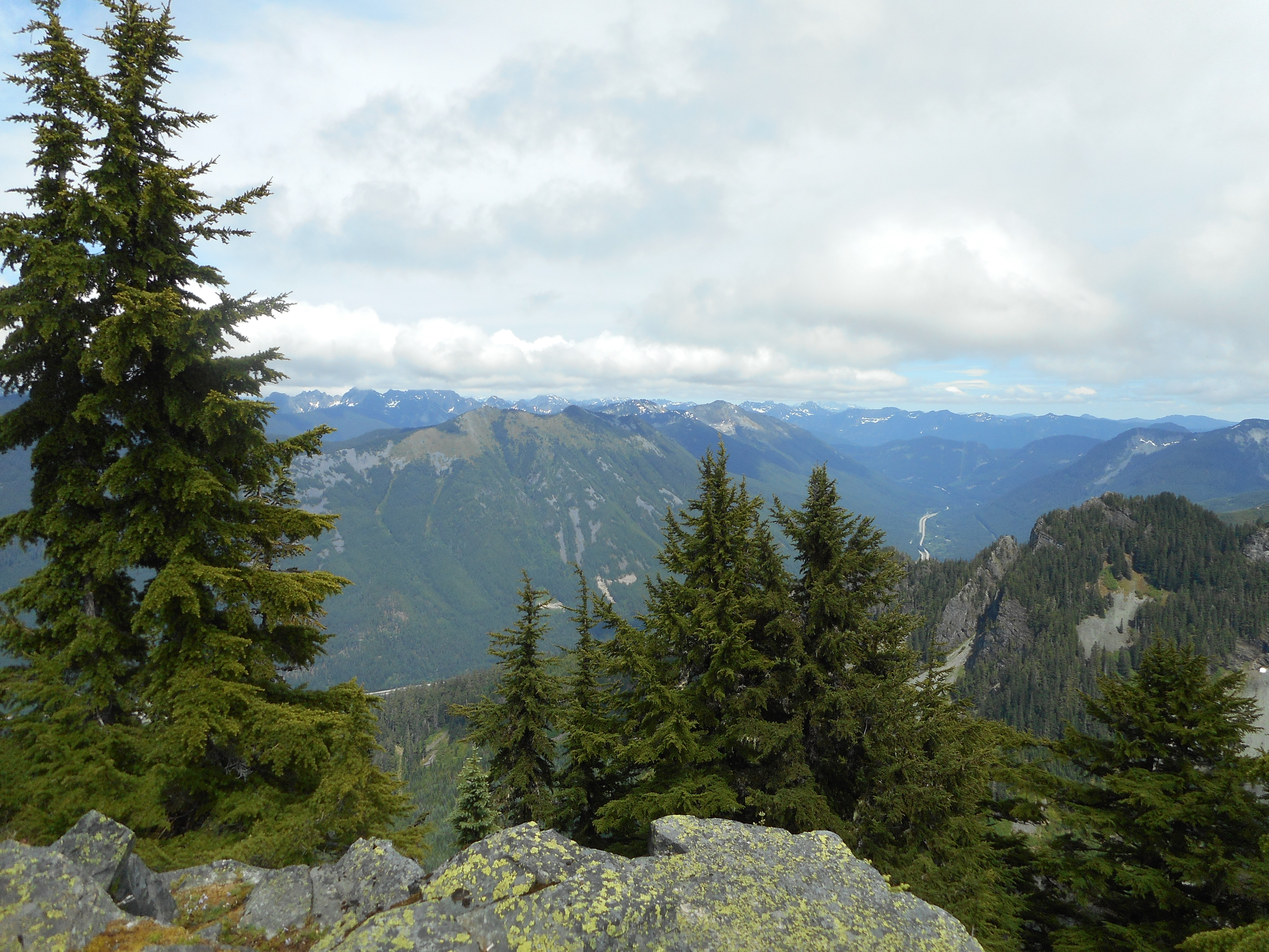
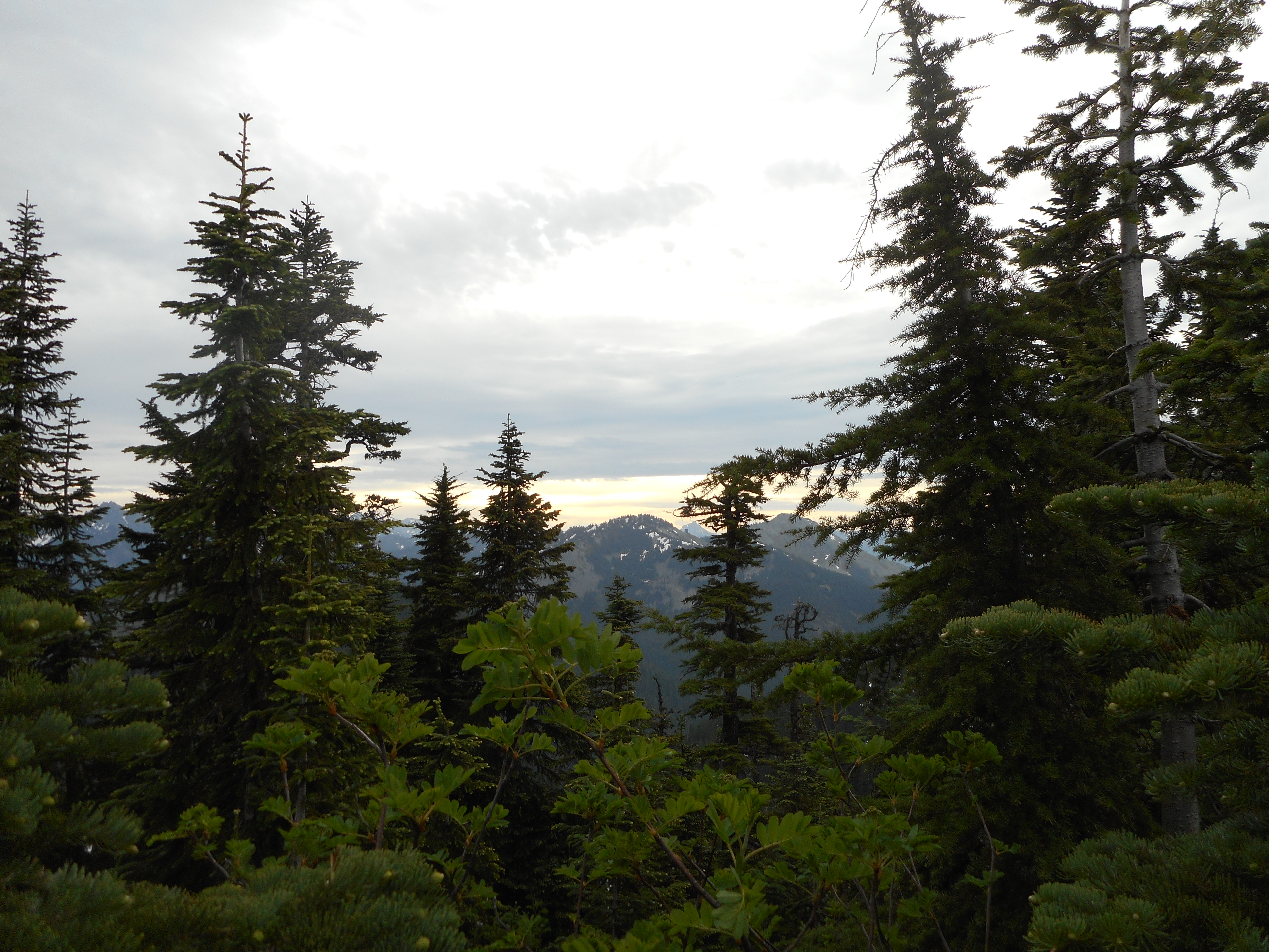
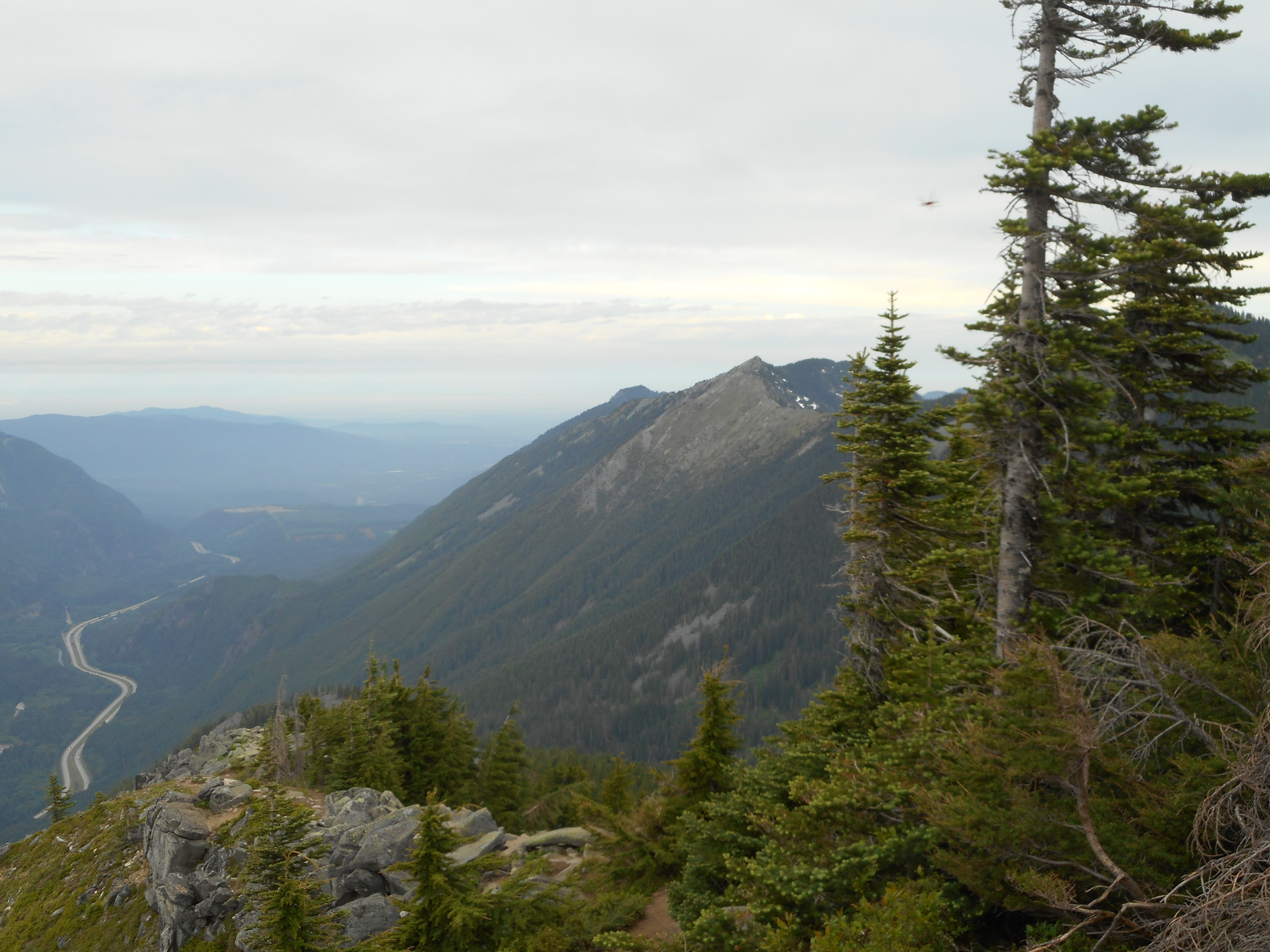
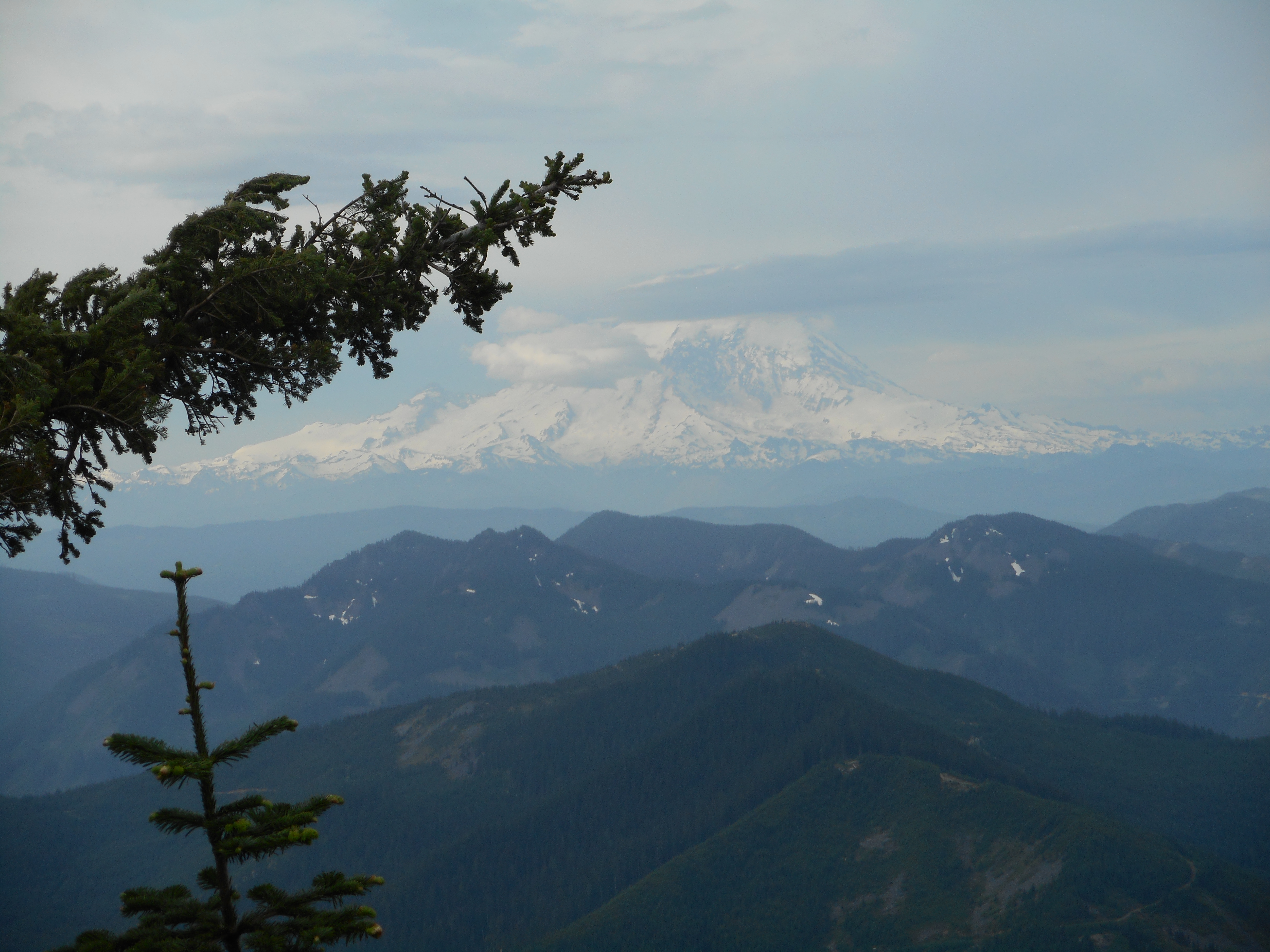
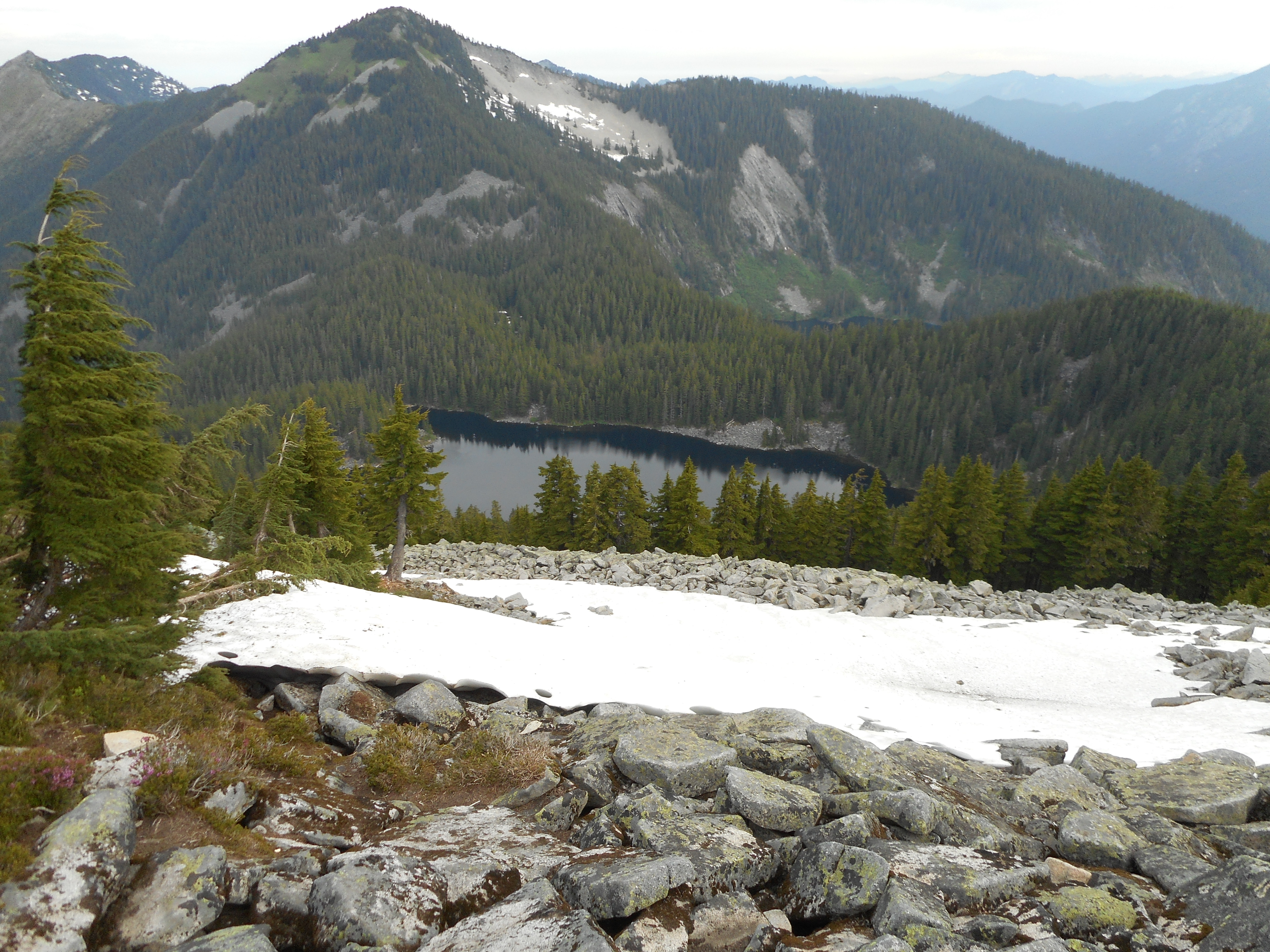
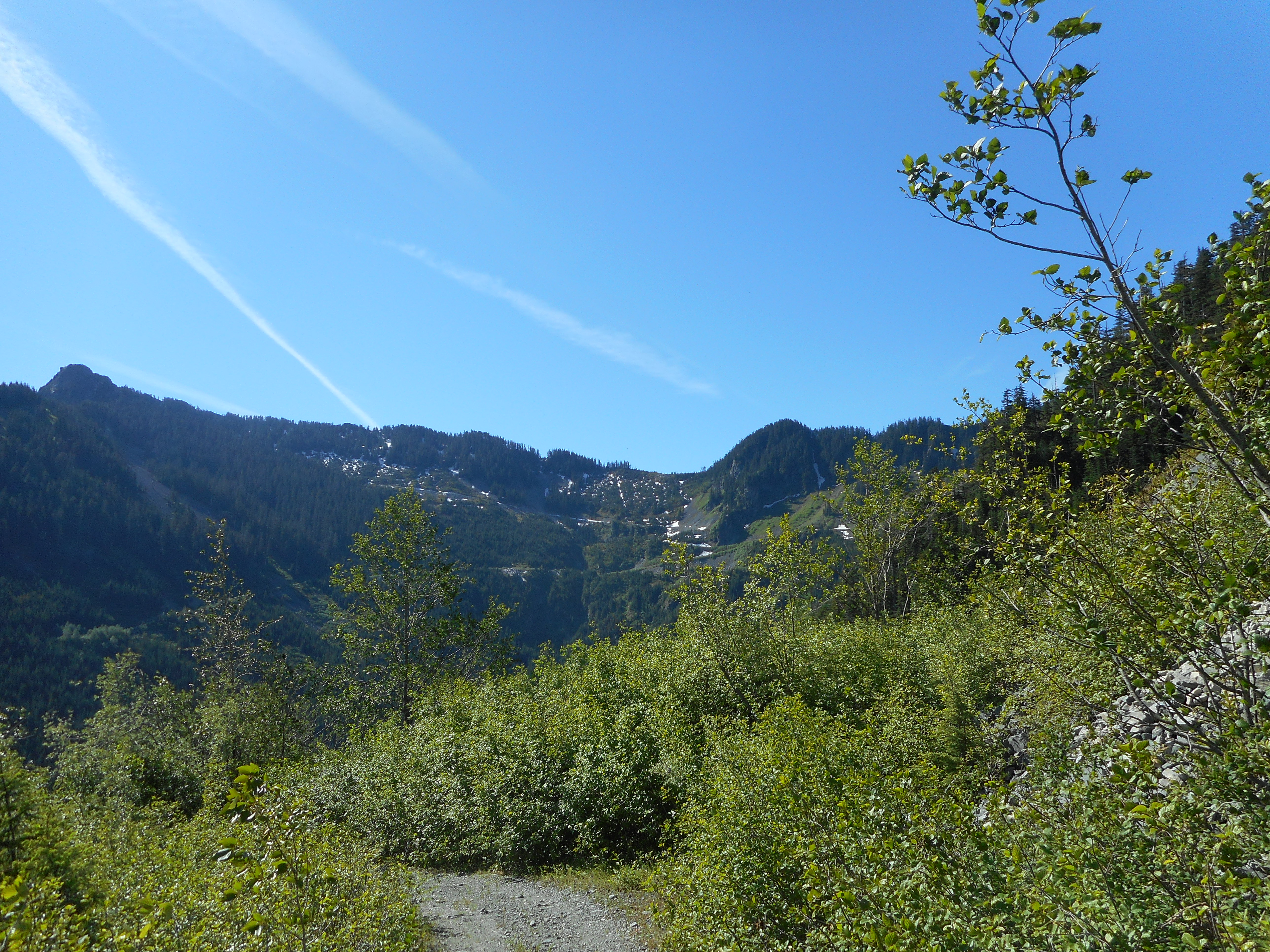
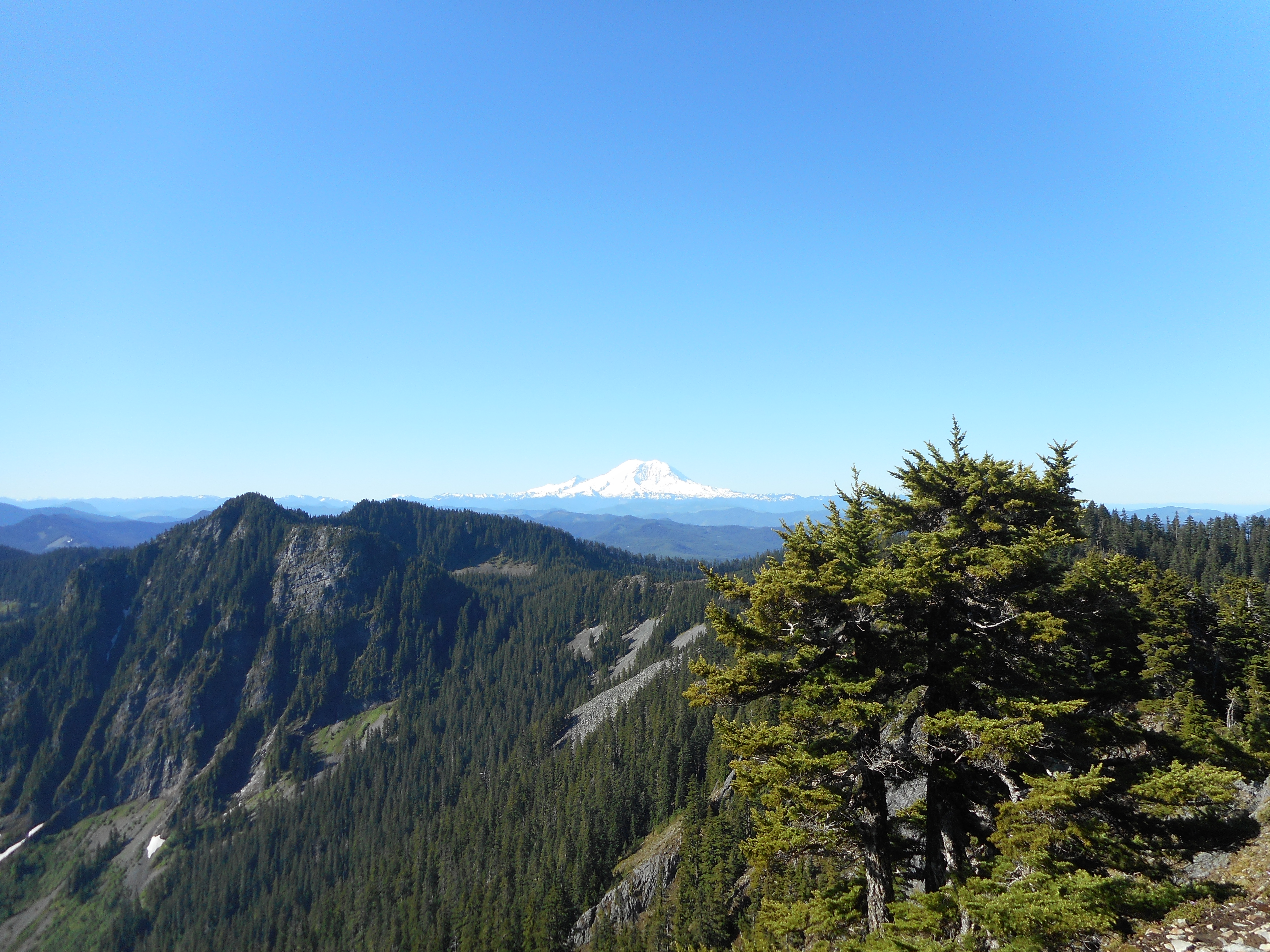
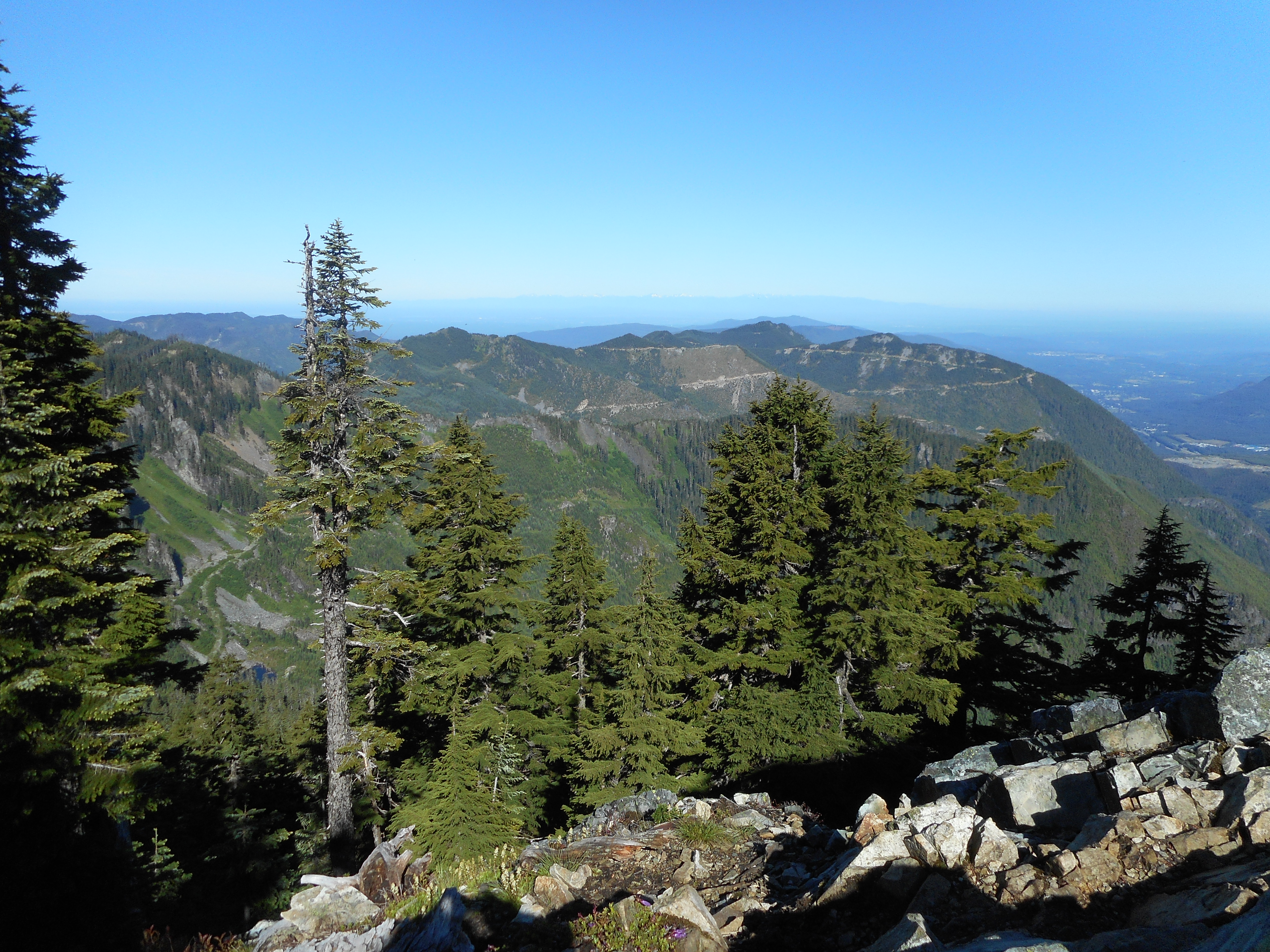
Plenty of views on this beautiful day:

Rainier
Rainier
Looking west from summit

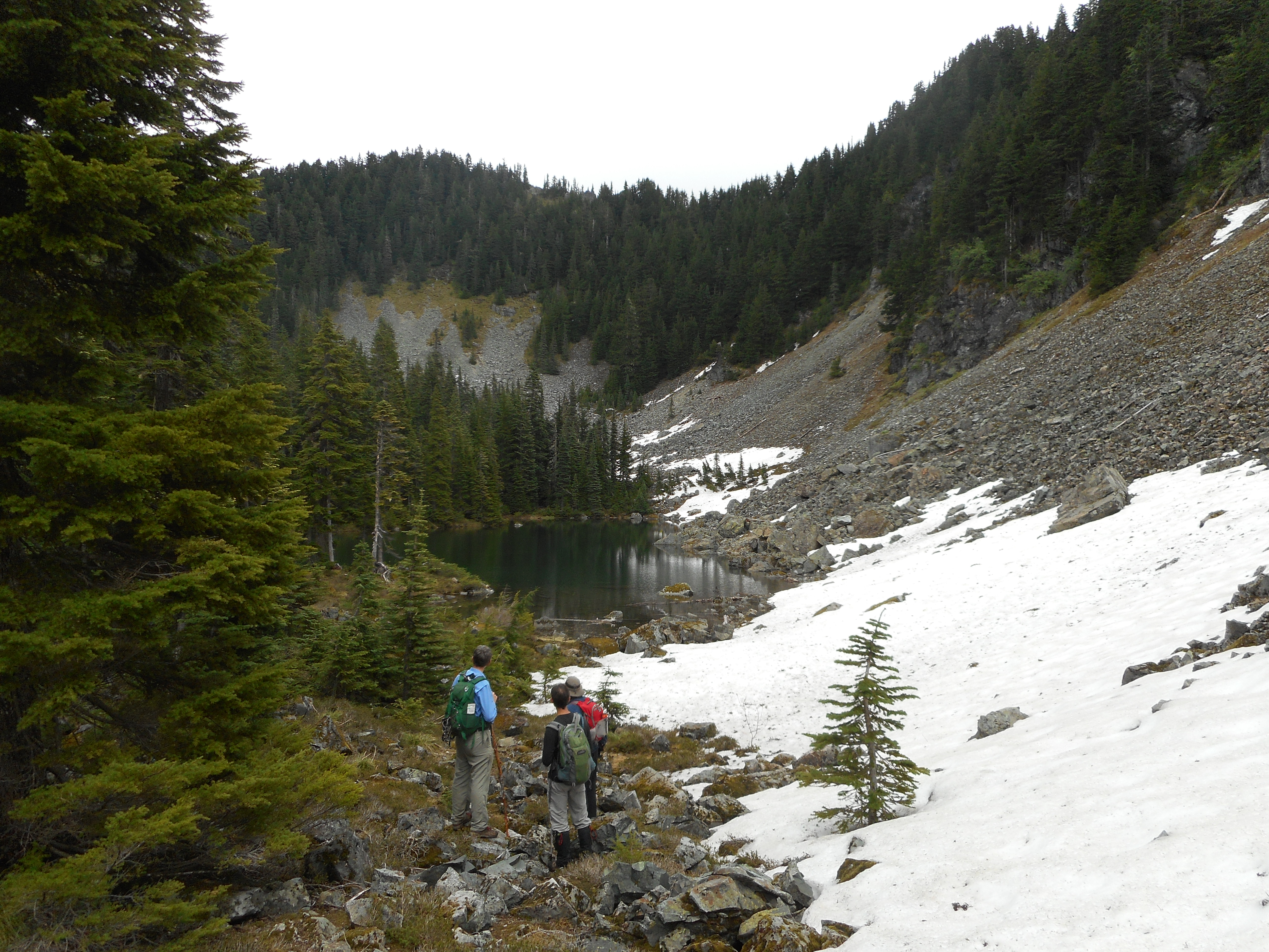
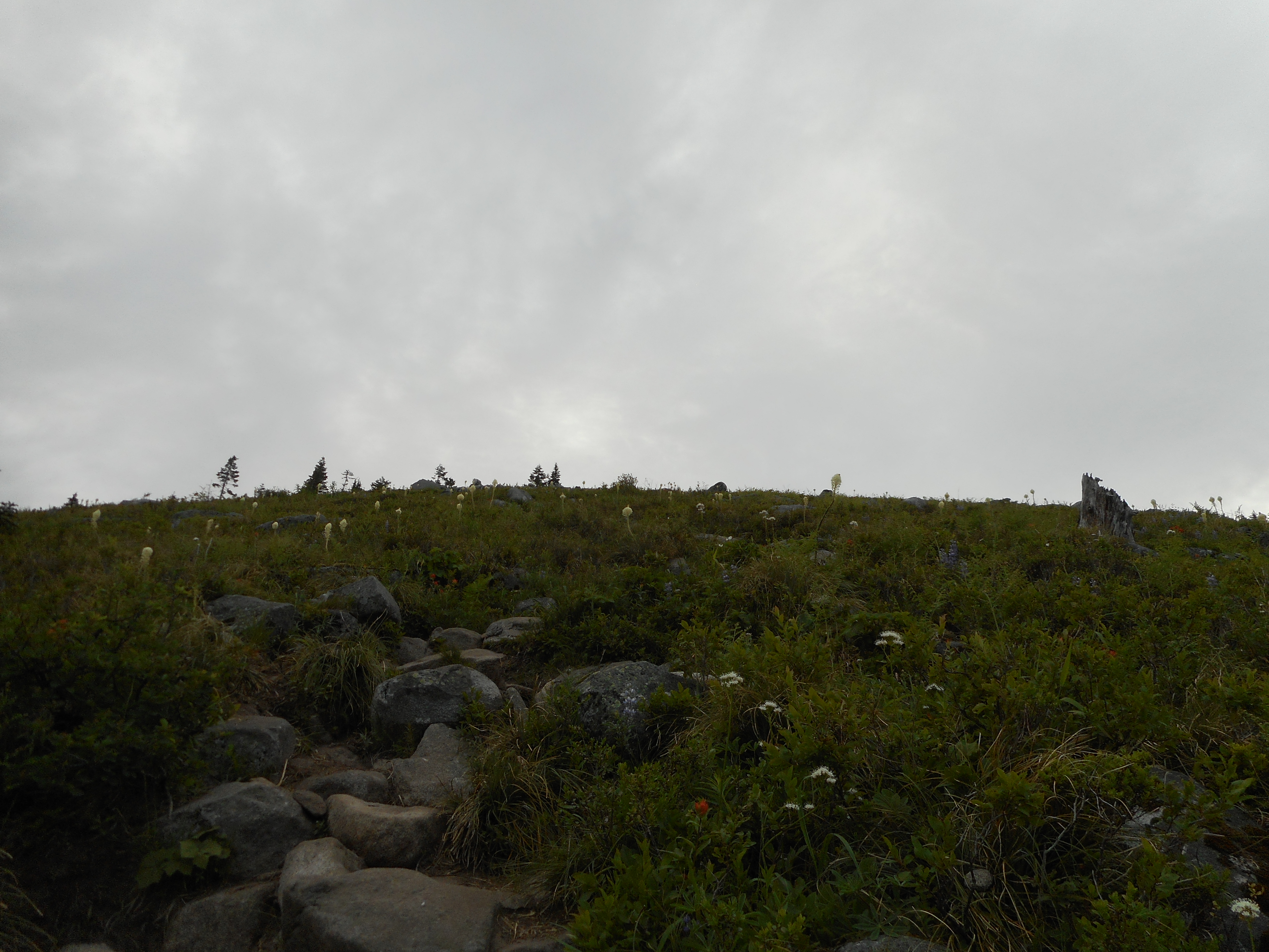
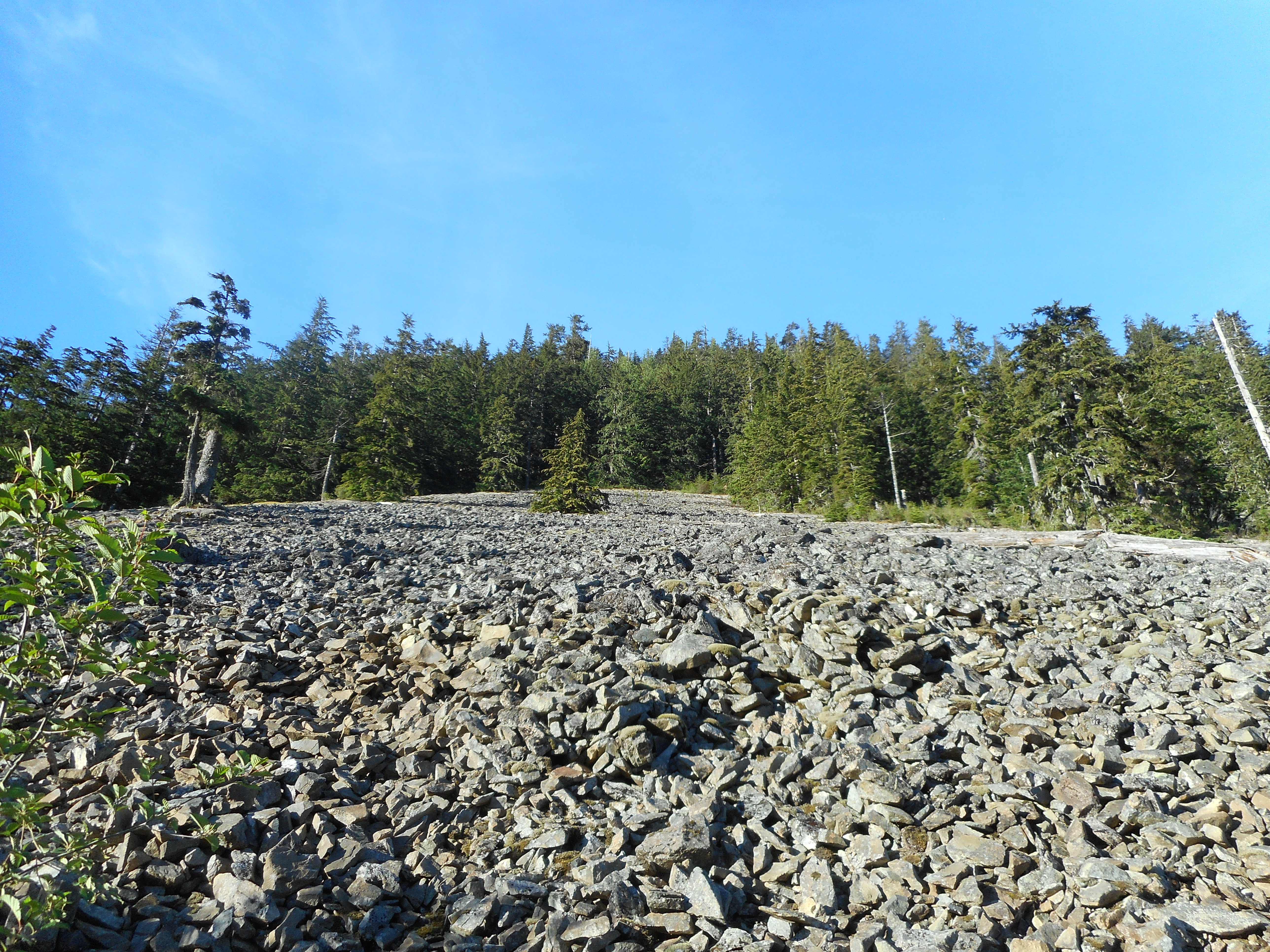
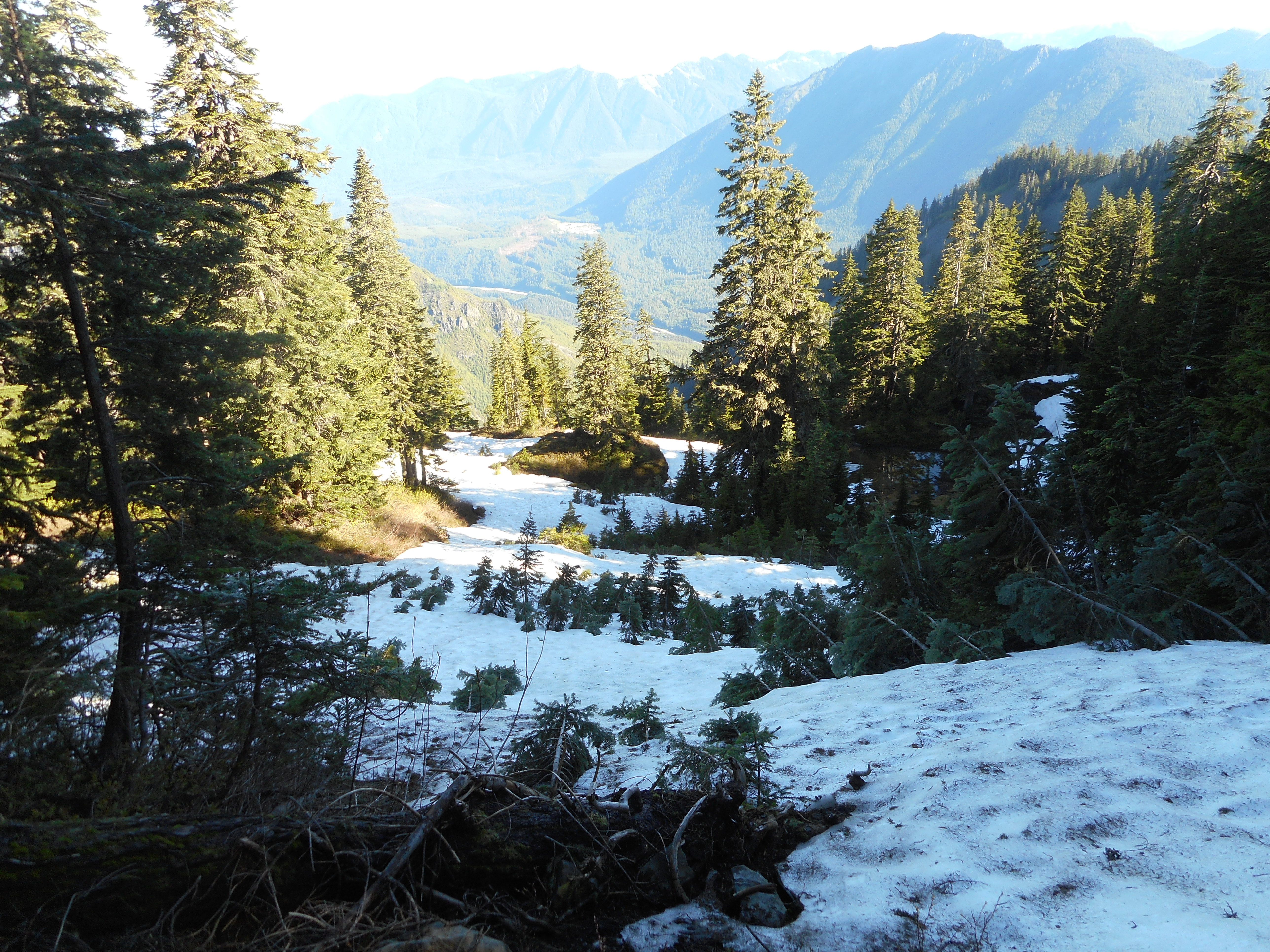
This hike is never a piece of cake but right now it is a little bit challenging.  Aside from the avalanche chute, there is still some snow up towards the top:

There is some snow above 4,800'
There is some snow above 4,800′

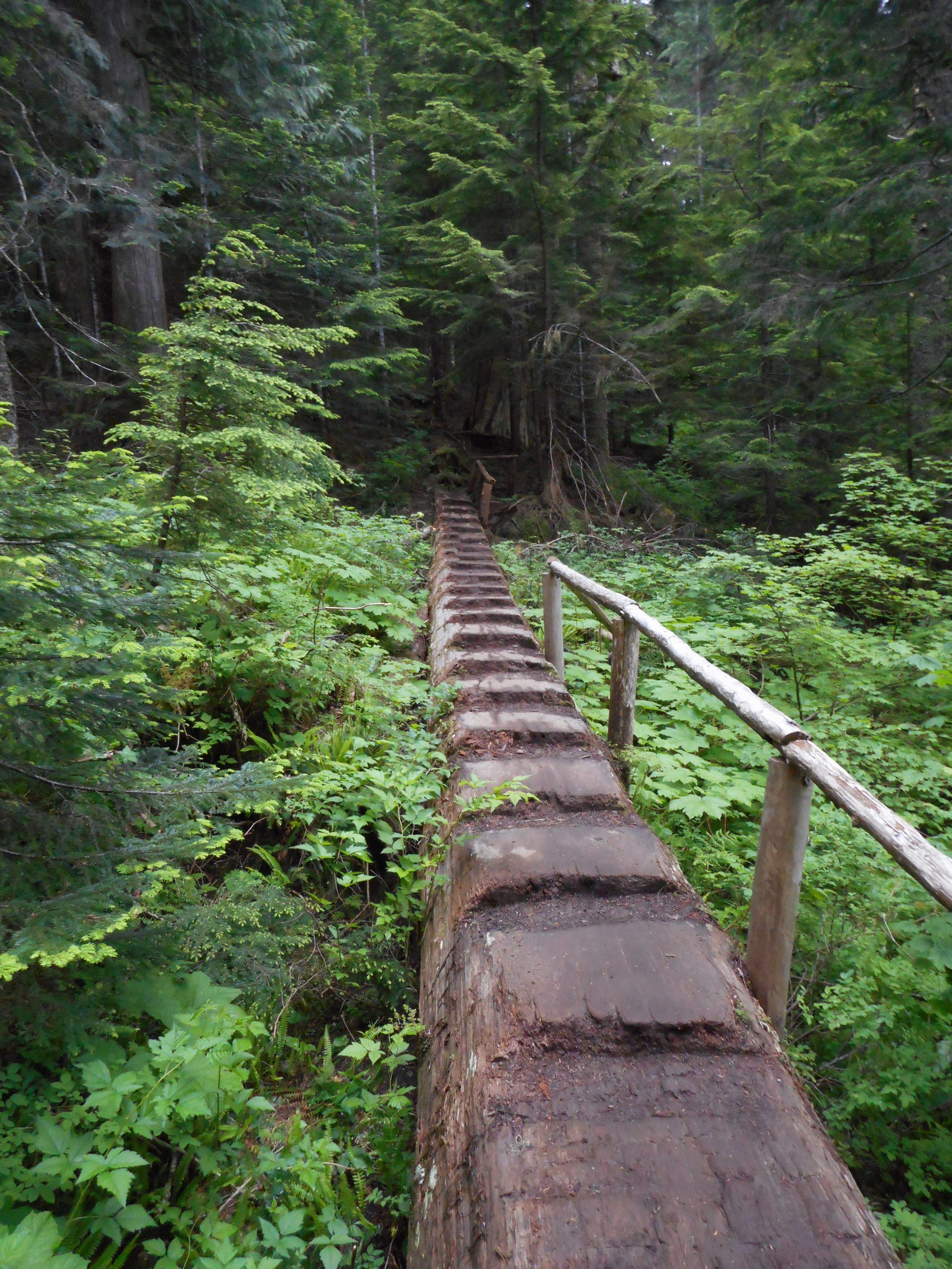
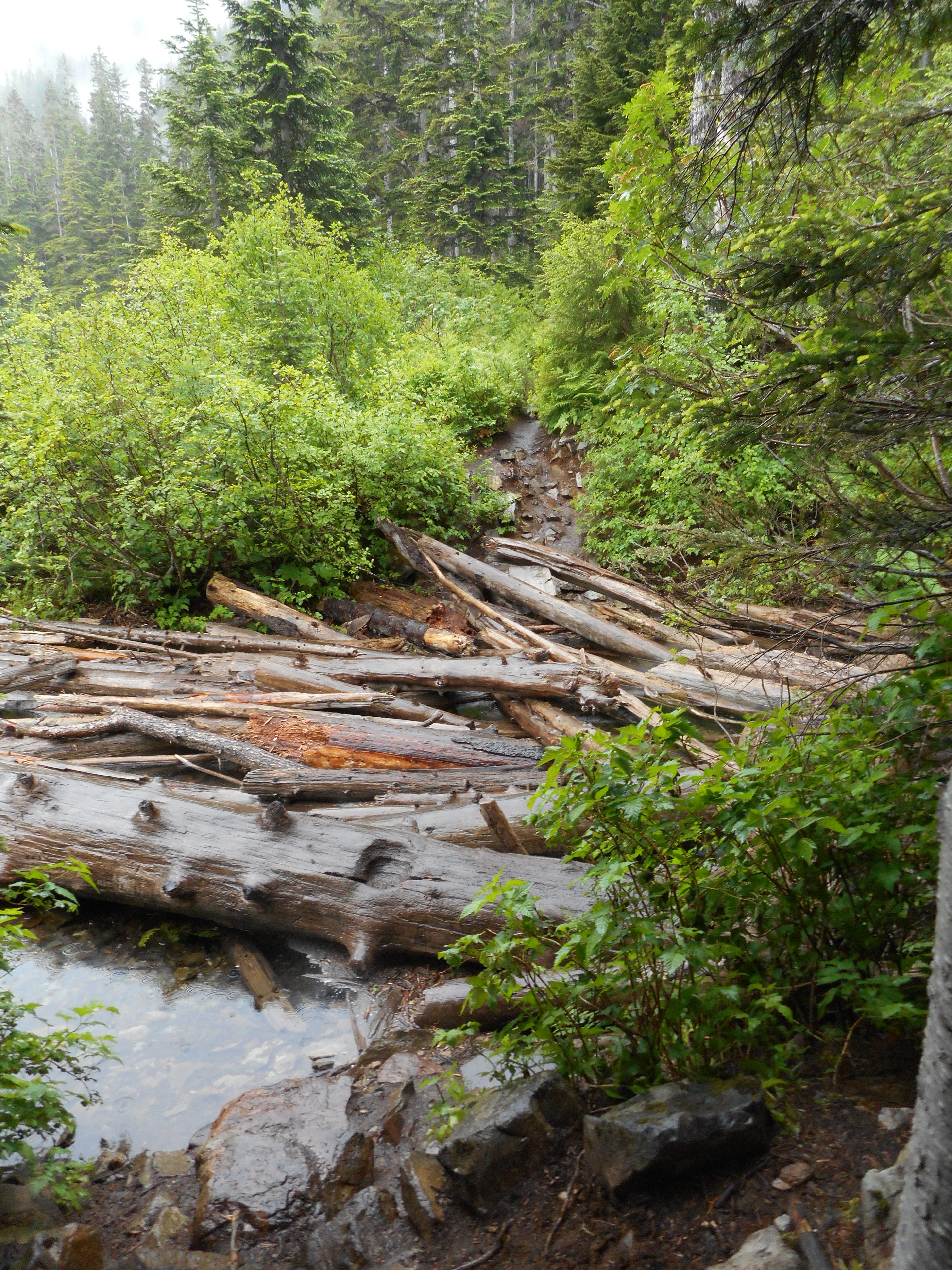
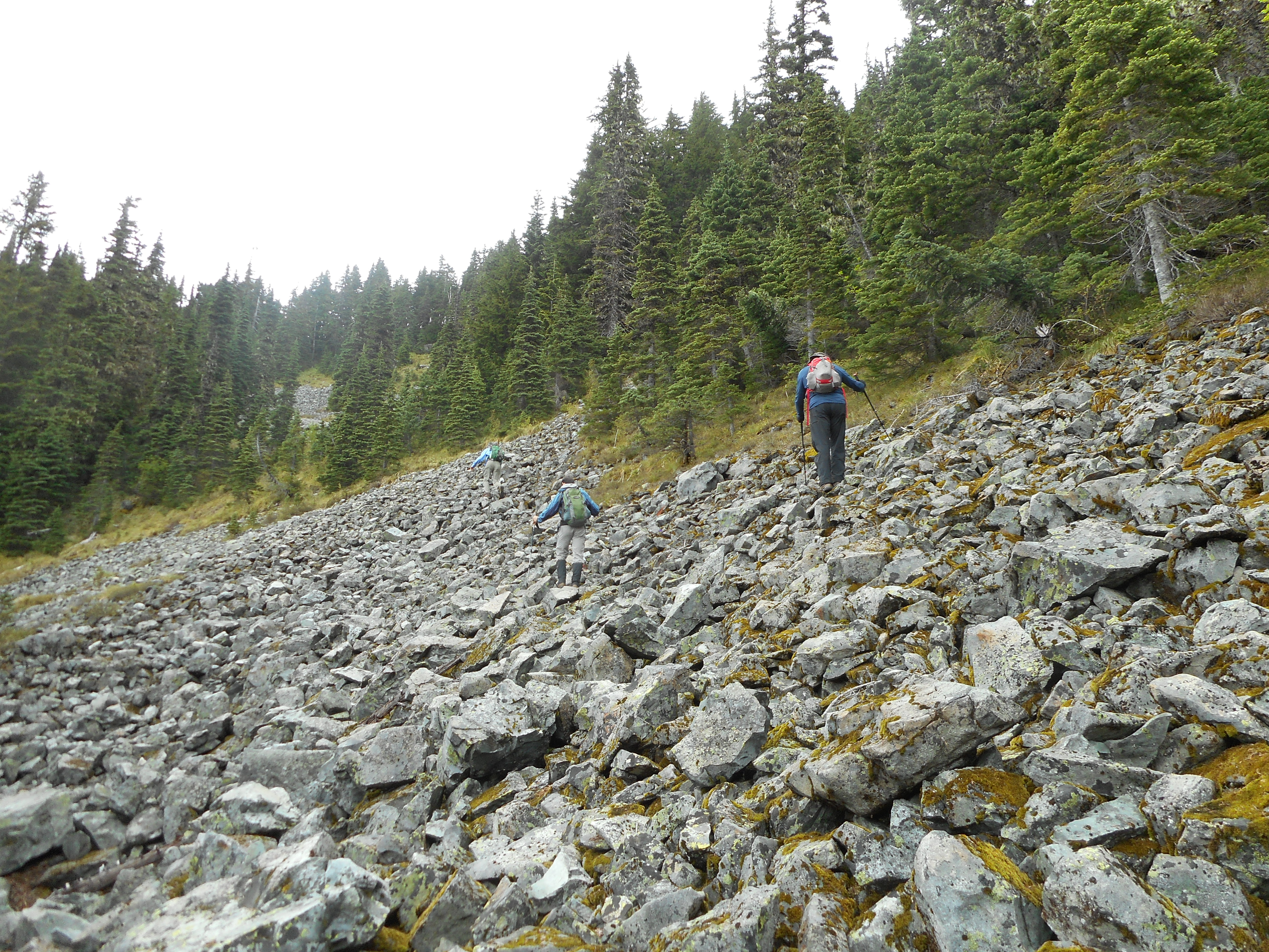
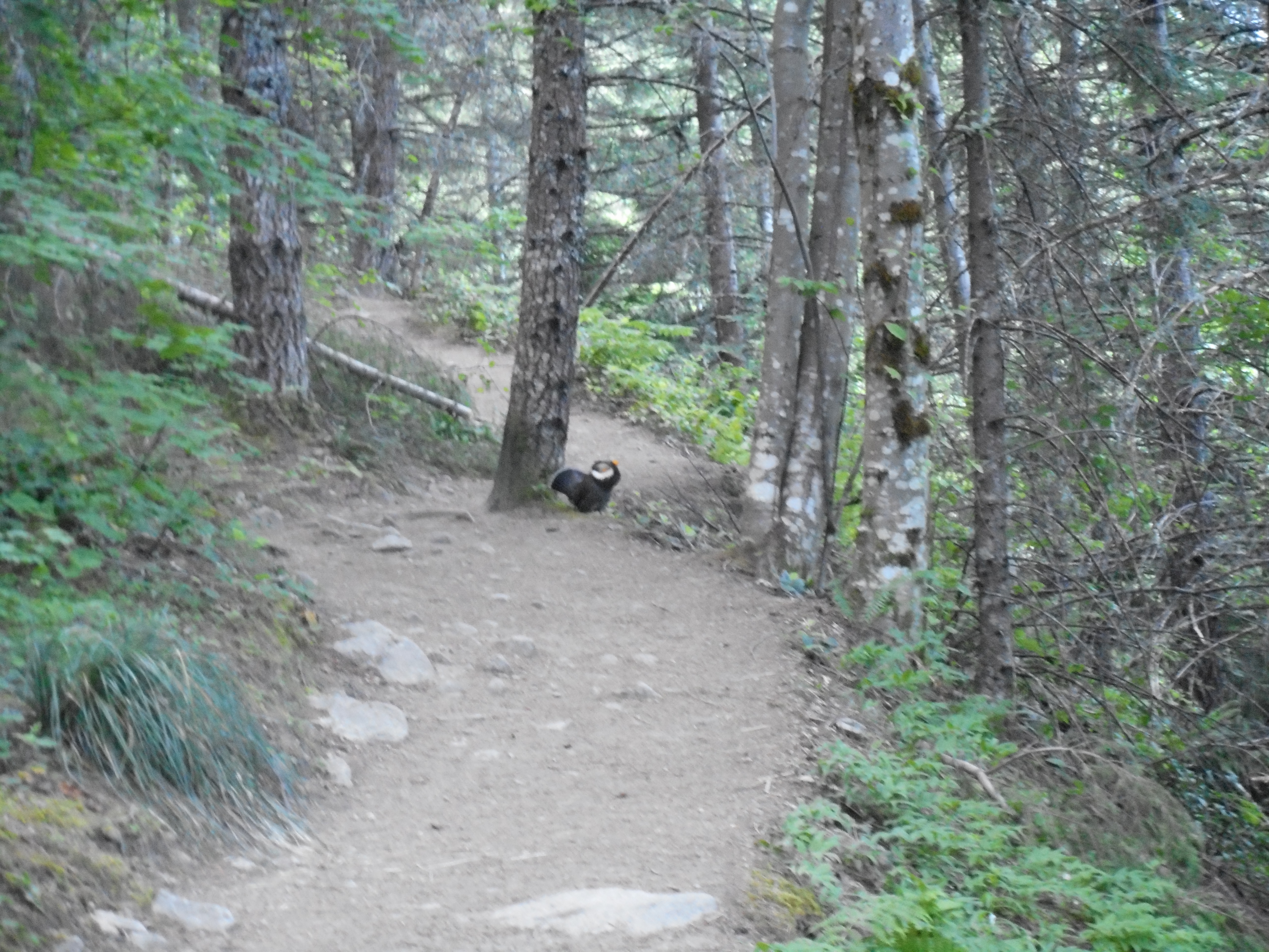
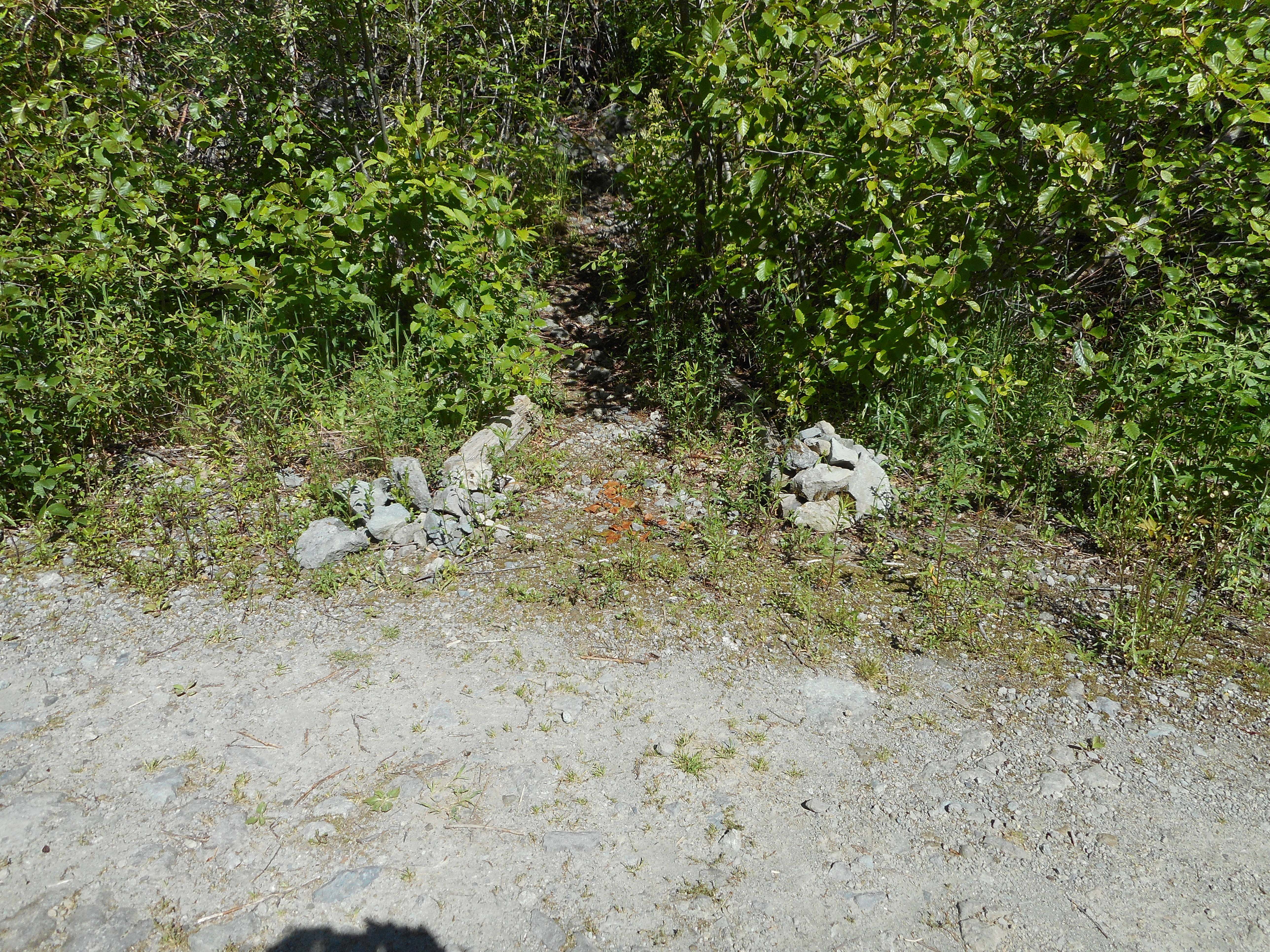
Also, several very challenging blow downs, although someone has helpfully sawed a couple of the larger ones that were at a lower elevation.  Every bit helps.

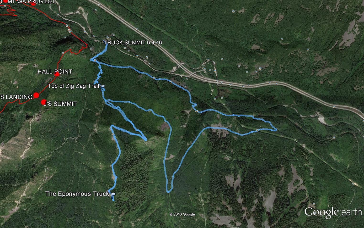
Anyway, supposedly 10.8 miles (I think this hike is only about 10.2) and 3,700 feet of elevation gain.  A very fun day.

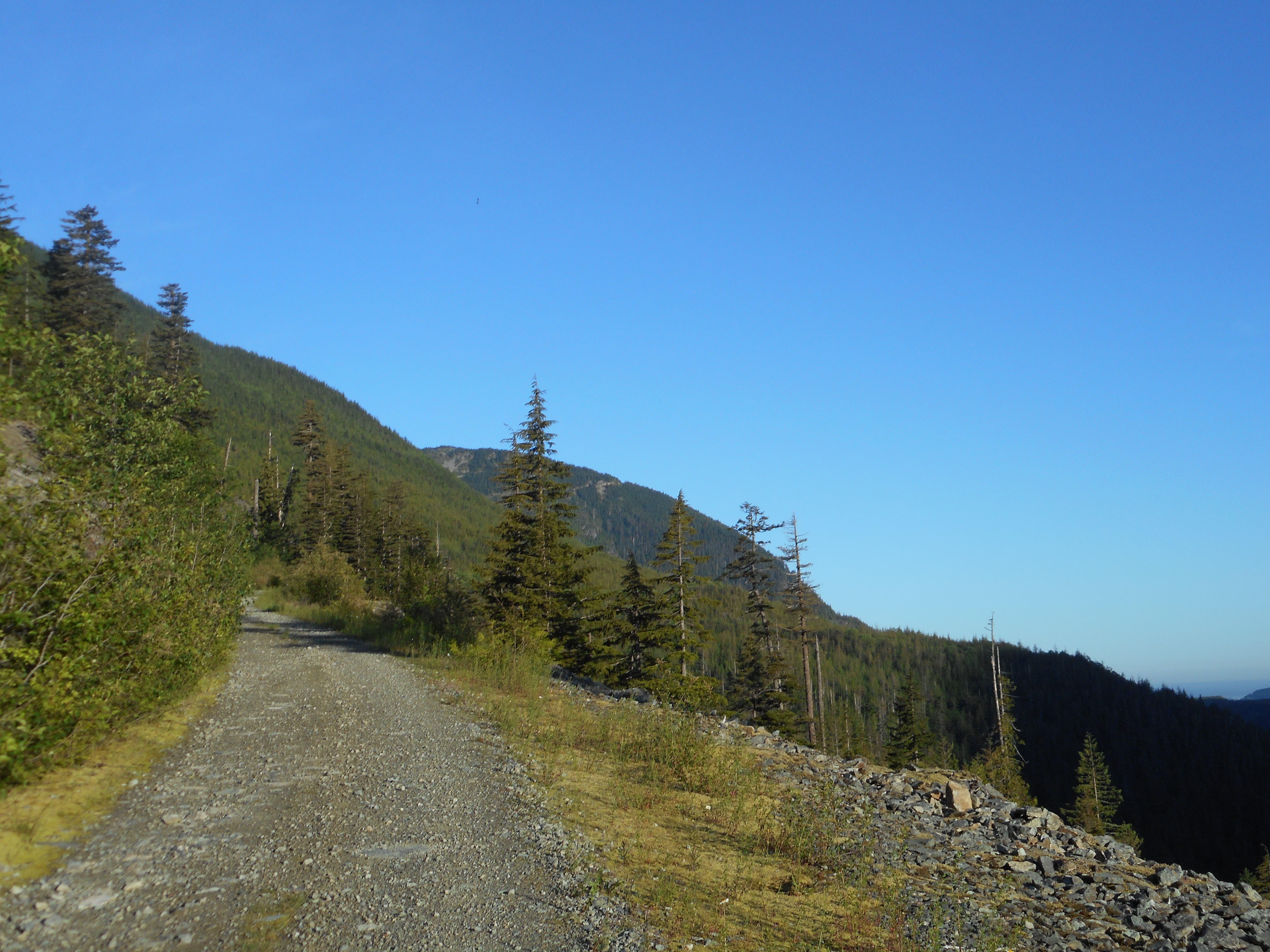
Visualization of the hike:

http://adventures.garmin.com/en-US/by/djhiker/mcclellan-butte-6-26-2016/#.V3A4dpXls5t


Railroad History Treasure Tour – 6/25/2016

Taylor Creek Trestle

Short version of the railroad history of the Cedar River Watershed: lots of timber and railroads were the least inefficient and expensive way to haul out the timber, and it was a great way to get to Tacoma and Seattle from points east.

So there were a lot of railroads and train depots and fueling stations and housing for workers – it was a big deal for the first few decades of the twentieth century but now it is pretty much all gone.  But artifacts still exist and today the Cedar River Watershed Education Center (CRWEC) sponsored a tour of the railroad artifacts, hosted by Clay Antiou.

Fuel tank and brick substructure

This imposing structure was part of a re-fueling process.  If I had turned around at this point and looked through the trees a little ways I would have seen the remnants of a fuel sump into which trains dumped excess diesel fuel.  This fuel was piped into the structure above, and then into trains that needed it, who parked on the tracks that were situated just above (to the right) of this structure.

Low-tech by our standards but it moved a lot of people and wood.

As always, the tour was extremely informative and totally fun.  Kudos to Clay and CRWEC, as always,  My next program is on August 6, and we will be investigating old growth forest in the watershed.  (yes, there are still stands that were never logged).

While in the CRWEC main building I snapped a photo of their nice diorama of the watershed:

CRWEC Diorama
CRWEC Diorama

The brown indicates old growth, the blue of course is water, there is another color for wetlands – it is a very educational diorama if you are interested in hiking around the watershed.

For Derek, I snapped Rattlesnake Lake.  He was asking about the water level because we might want to kayak on the lake – well, the water level has recovered from last year and the lake is looking very kayakable:

Rattlesnake Lake looking good

And while I was waiting for the time to gather for the tour I was sitting by the lake, listening to this little guy pecking away:

Hairy Woodpecker
Hairy Woodpecker

Great Saturday!  I am thinking of doing McClellan Butte tomorrow.  Latest trip report says the obnoxious avy chute is still clogged with snow but someone has attached a rope to climb around it, so it should be easier than the last time we were there.

Annette Lake with Derek 6/23/2016

Annette Lake on a rainy day

Derek’s knee has been sore so we have been careful about doing too much elevation and distance until he feels it is fully healed.  Today was a good step.

We picked this hike because it is not very long (7 miles, out and back) and not very steep.  But it was a bit steeper than we anticipated.  Most of the ~1500 foot elevation gain was in about a 2 mile stretch, so that is reasonably steep.

Anyway, it was a decent workout on a rainy Thursday.  This is a popular trail for various reasons such as:

This waterfall is loud

And nice views of the mountains that surround the alpine lake to which we were heading:

Silver Peak
Silver Peak

And a few fun bridges:

Log bridge
Log bridge

There was one tricky little spot to negotiate.  Approximately every other log was unstable:

Lakeside log jam
Lakeside log jam

And there sure are wildflowers aplenty these days:

A spritz of color
A spritz of color

All in all a nice hike, a good step on the road to recovery for Derek.

Change Creek, Pt 4302, Mt. WA – Father’s Day 2016

Rainier from Mt, WA summit
Rainier from Mt. WA summit

Some days, Rainier looks like it is floating in the sky.

What a perfect day – a Father’s Day – for an exploratory/conditioning hike.  I am calling it that since I was looking for the summit of Greenway Mountain and missed.

I have to settle for 14.4 miles, 3,800 feet elevation gain hike to a peak designated on the map as ‘4302’ and then to Mount Washington.

I was going by an older trip report that said Greenway was ‘about a mile’ past the Y in the Great Wall trail where going right leads to Mount Washington and going left heads into the road that abuts the boundary of the Cedar River Watershed (and its numerous ‘no trespassing’ signs).

At about a mile I found myself near the summit of something kind of big, so I followed the trail around to the north and hit a spot that has to be the perfect place for the 2am planned Perseid-viewing hike… that’s a great find but looking at the track when I got home I see I was short of Greenway.  Oh, well, I will get there next time.

After checking out Point 4302 (a perfect 360-view, very nice and wide and flat summit area, like I say, perfect for Perseid viewing in August) I back-tracked and decided to summit Mt. WA since I was in the neighborhood.  And that’s when I snapped that gorgeous view of Rainier above.

What a day!

Chester Morse and Masonry Dam from FS road

This is a typical view south from the road that leads to Greenway.

Looking NW from trail

My route today was as follows:

  1. Up Hall Creek Trail to IHT.
  2. West to Change Creek trail.
  3. Change Creek trail (see views above and below from this trail) to the Pond trail/Mt. WA junction.
  4. To Great Wall.
  5. South to the most southern trail that is not in the watershed.
  6. East on that road to Point 4302.
  7. Back along that road to Mt. WA summit.
  8. Down Mt. WA trail to IHT.
  9. East to Hall Creek trail and back to the car.

A fun hike!

One of those trail-side very cool rocks
Early AM looking NE
Early AM looking NE

Back on the IHT trail I went though one of the busiest rock-climbing spots in the area.  Just go to YouTube and search for ‘Exit 38’ or ‘Deception Crags’ to see what these intrepid climbers are up to.

Rock Climbers
Rock Climbers

Last but not least, the flower situation was acceptable.

These purple flowers were all over the place

If I stopped to snap a photo of every different kind of flower I saw along the way  I would be there all day.  White, yellow, red, blue, purple – really a beautiful day for a hike.

And it was Father’s Day.  I had a smile and a ‘Happy Father’s Day!’ greeting for all the dads I saw hiking with their little ones.  Actually, I saw no one at all until Mt. WA, and then on the trail down it was like downtown Seattle.

Happy F-Day to all.

Link to visualization/stats:

http://adventures.garmin.com/en-US/by/djhiker/change-creek-to-near-greenway-mt-wa-summit/#.V2cNEZXls5s

Mount Kent 6/12/2016

On the summit of Mount Kent

That’s (from l-r) Mark Garrett, Christopher Gronbeck and Jamil Haque on the summit of Mount Kent.

What a hike!  This was an off-trail, bushwhacking rocky scramble.  We were not sure we were near the summit until we were actually on the summit.

We started on the McClellan Butte trail.  McClellan is immediately west of Mount Kent.  You can see Kent from a few points on the McClellan trail but there is no trail to Kent.

Based on Christopher and Jamil’s experience (they summited Kent before, but via a different route) and on maps we have seen in trip reports we found what appeared to be the beginning of a faint trail on the Butte trail just as it turns west, at 4,700 feet.

That “trail” disappeared almost immediately, but we headed down a scree field to an old road.  We took the road for a little ways, then headed up a scree field and bushwhacked through a very thick patch of trees and bushes.  It was slow going.

Going up a scree field

Along the way we skirted the two Alice Lakes:

One of the Alice lakes

With time more or less running out, there we were.  Suddenly, the summit.  After signing the summit register I took a few snaps.  This is a great summit, it is right in the heart of mountain country and has 360-views:

Kent Summit View
Kent Summit View
Looking east
Looking east
Looking north
Looking north

A thousand thanks to Mark, Christopher and Jamil for letting an old man tag along.  No way I would have gotten anywhere near that peak by myself.

I would like to try it again, and I would like to get its two neighbors, the Duke and Duchess of Kent.

Here is a link to a visualization of the hike:

http://adventures.garmin.com/en-US/by/djhiker/mount-kent-6-12-2016/#.V16_FpXltD9

Just under 10 hours, 4,674 feet of elevation gain, 13.1 miles.  And that doesn’t count the 3.86 mile pre-hike hike I did along IHT while waiting for the rest of the group to show up.

A fun Sunday.

Little Bandera 6/8/2016

Angry bird
Angry bird

Solo hike to take revenge on Little Bandera, where my legs pooped out last November (I was hiking again on only one day’s rest for my legs).  I made it this time.

Along the way, just in time for the new ‘Angry Birds’ movie I encountered an enraged grouse.  This bird was literally hopping mad.  It kept fluffing up its wings and loudly emitting its distinctive ‘whoop whoop’.  I wasn’t sure if it would let me by so I approached with caution.

It backed up a few yards then hopped off the trail.  As I passed I could swear I caught some ‘ugly old man’ comments.

Anyway, this is not a long hike.  It was 7.4 miles up and down.  And the first 1.6 miles are fairly mild.  From there, though, and particularly in the last .7 mile, it is up, up, up.

The last section is steep

The Little Bandera summit (I didn’t go farther on the trail to Bandera Mountain proper) is not large and you have to maneuver to get the views.  But they are fabulous.

Looking north
Looking north
Western view near summit
Looking south
Looking south

And just below the summit, a great view of Mason Lake:

Mason Lake
Mason Lake

And that’s one of the last little patches of snow still left up there.  The melt-out is fierce these days.

Sunday I am scheduled to hike with three other guys to Mount Kent, which is across the freeway and a little west of where I was today.

Here is a visualization of the hike:

http://adventures.garmin.com/en-US/by/djhiker/bandera-mountain-6-8-2016/#.V1hi45XltD9

4.5 hrs, 7.4 miles, 3K elevation.

Truck Summit via NF9021 6/4/2016

The Eponymous Truck
The Eponymous Truck

I finally made it to Truck Summit.  The normal route is straight up Zig Zag to the old road that leads to the truck, but I really wanted to try to complete the hike Derek and I tried a few months ago on snowshoes.  We did not get very far, thanks to the blow downs but the trail genies have done their magic and everything was just fine.

Hot day and I got on the trail at 5am and beat the worst of the heat.  Plenty of interesting sights along the way:

Along the trail
Along the trail
The sun peaking over the mountains to the north
This is avalanche territory in the winter

Just in case anyone is ever looking for Zig Zag from the road at which the trail tops out (about 2700 feet) here is what it looks like from NF9021:

Top of Zig Zag Trail

The start of the section that leads to the truck is just across the road from this spot.  Once you get up to about 3,200 feet the trail turns south and you get a long stretch with a very nice western view of the neighborhood:

Looking west from Truck Summit trail

There is still just a bit of snow on some of the northern faces:

Still a little snow up there

Here is the route on Google Earth, about 11.4 miles, 2,900 feet elevation gain, 5h 45min.  Nice hike and next time I will do it the normal way and go down along NF9021, past where all the shotgun target shooters leave their garbage.

The route on Google Earth