Our plan today was to summit Mount Kent and we almost made it. For sure, the effort was actually a bit more than if we had navigated perfectly, but I have to admit, we did not quite hit the goal.
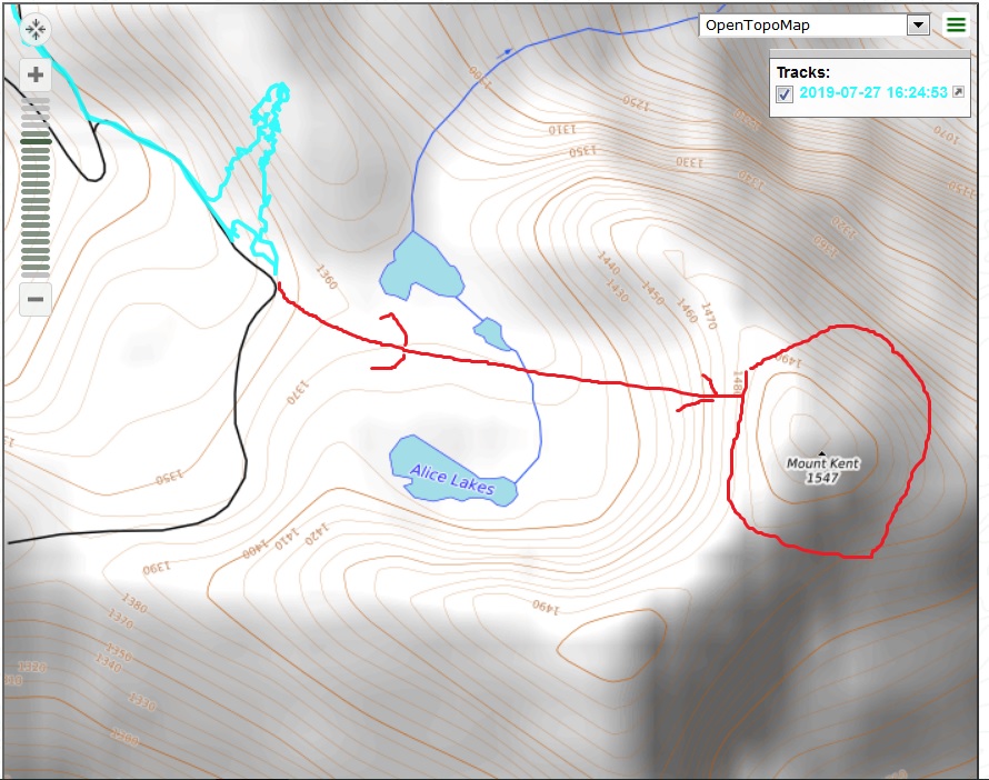
Below is a picture of our track in the vicinity of Mount Kent. The red line shows where we should have gone. The squiggly blue lines show where we actually were.
How did we go so wrong?
Start with how you get to the vicinity of Mount Kent. You hike up (and up and up) the McClellan Butte trail, to 4650 feet and at the spot where the trail turns west. At this point, if you are going to the top of McClellan Butte, you still have a good .7 of a mile to go, but the trail from that point is relatively (relative to what you go through to get to that point) easy.
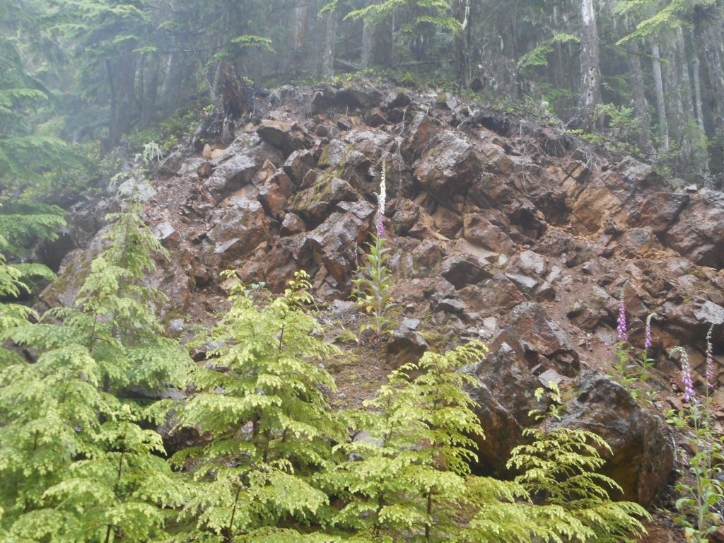
Anyway, at that point you leave the trail and go down a talus slope to a service road. This is a nasty section, very easy to slip and fall. We took our time.
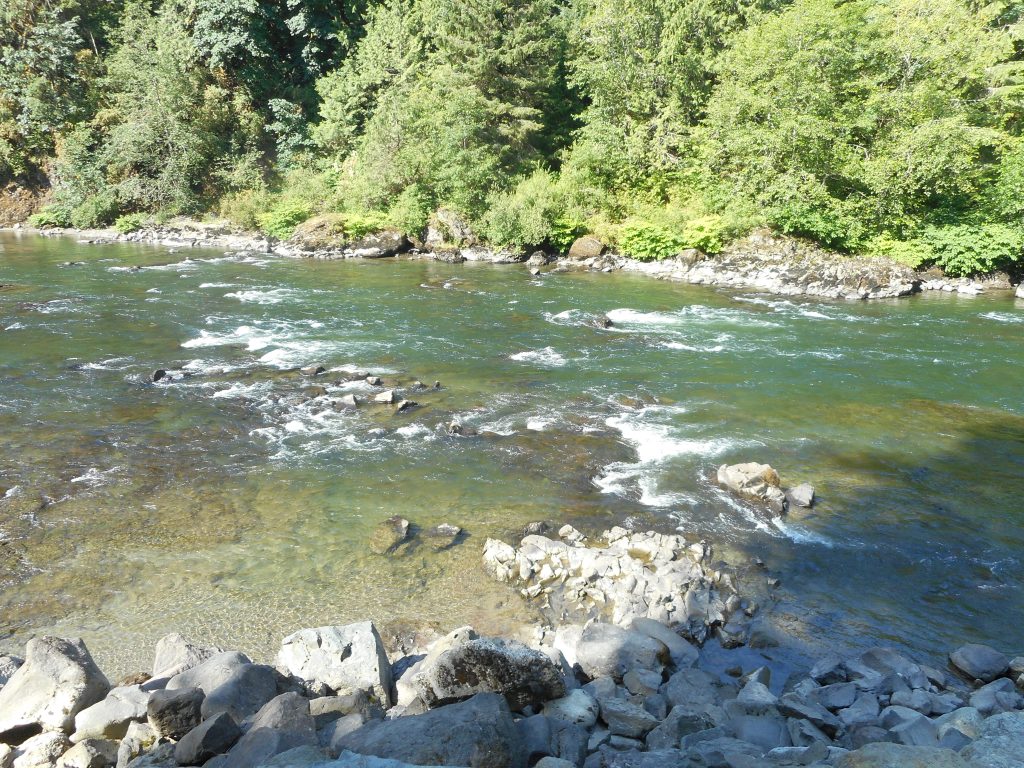
We headed east on the service road. I was looking at my Gaia app to see when we got near Alice Lakes (the lakes you see in the image below). I knew from the other time I did this hike, back in 2016, when we made it to the real summit, that you need to skirt the lakes to access the summit.
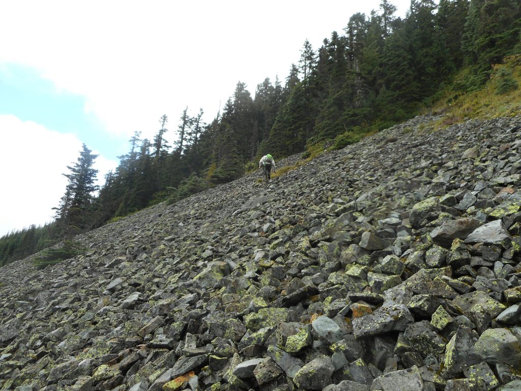
Unfortunately, the lakes seem to have disappeared, at least (and hopefully) temporarily so without those landmarks to aid in navigation we headed up the talus slope farther west than we intended. Here is what it looks like:
However, we are not discounting the actual experience. The talus slope was tough enough, but when we got to the top of the talus the ground was slick (rained most of the day) and pitched at somewhere around 45 degrees. It was literally a case of, for almost every step, having to investigate the immediate surroundings for a way forward that looked possible, grasping whatever branch or tree trunk or bush that offered itself to help.
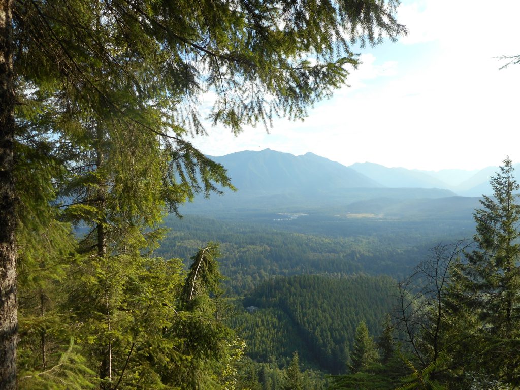
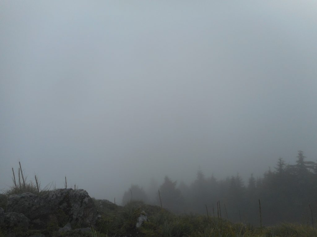
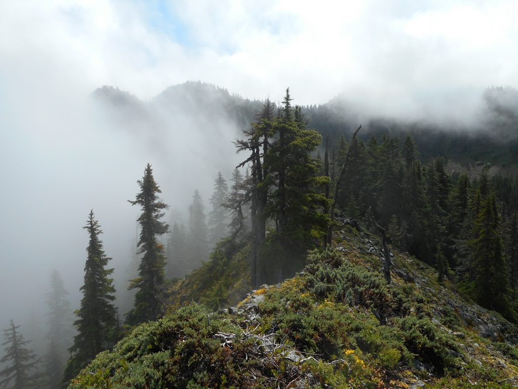
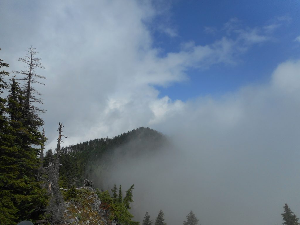
When we got to the top of the ridge we were on, panting and feeling like our legs were made of Jello, we noticed the actual peak was east of us and above us as shown in the image at the top of this post. But the sky cleared for the few minutes we were up there and the views were pretty nice:
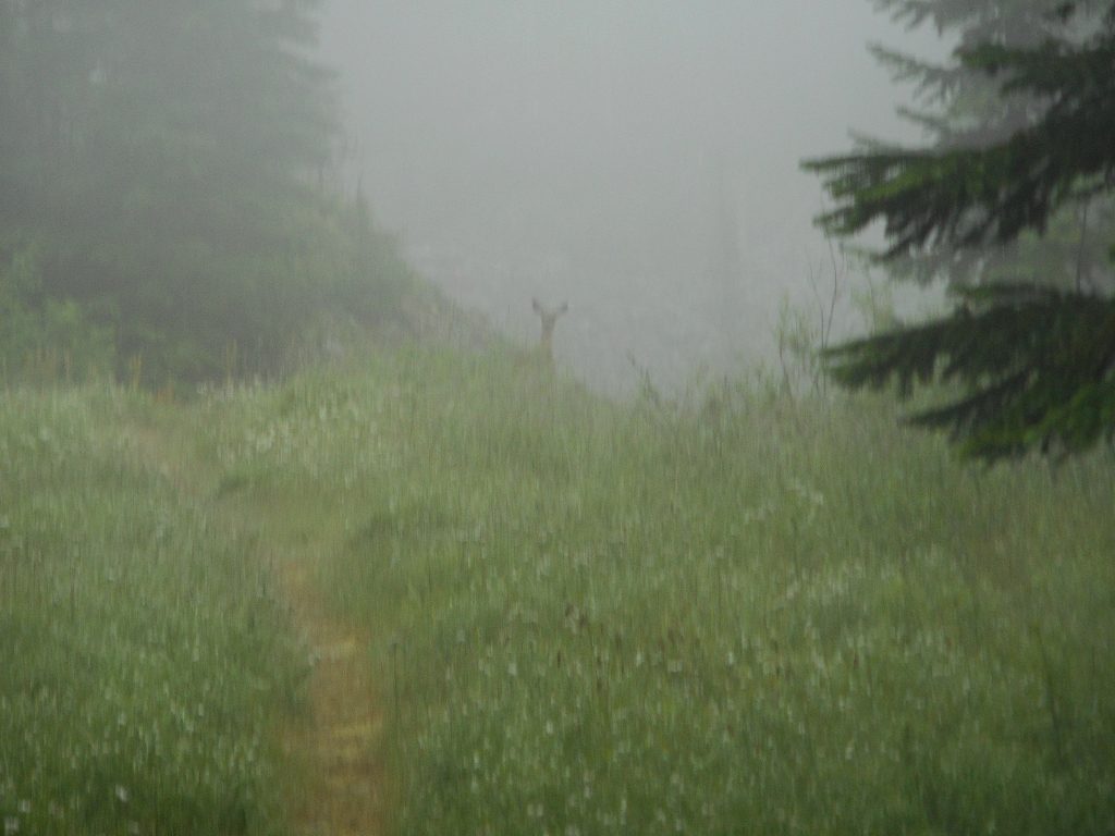
On our way to the vicinity of Mount Kent was saw a not-very-timid deer ahead of us. She held her ground until I could get a halfway decent picture:
We saw numerous birds and different wild flowers, chipmunks and squirrels and Derek spotted a Pika.
We had a great time, notwithstanding the difficulty of the hike. Coming down from the Kent Ridge I was sliding on my butt part of the time, aiming for trees to stop my momentum. The talus going down was also tough, and going up the steep talus slope to get back to the McClellan Butte trail was just about the last good measure of energy. Fortunately, once you get back on the trail it is literally downhill all the way.
Very good workout, excellent training for our upcoming Ireland adventure.
UPDATE: Here is a picture of Derek going up the talus. You can get an idea of what this entails: