Derek’s knee is still iffy but it hasn’t been hurting him and he thought a nice, easy little hike would be fun so we explored the still not-yet-opened Olallie (bike) trail. And it worked. It was fun and Derek’s knee was still just fine at the end.
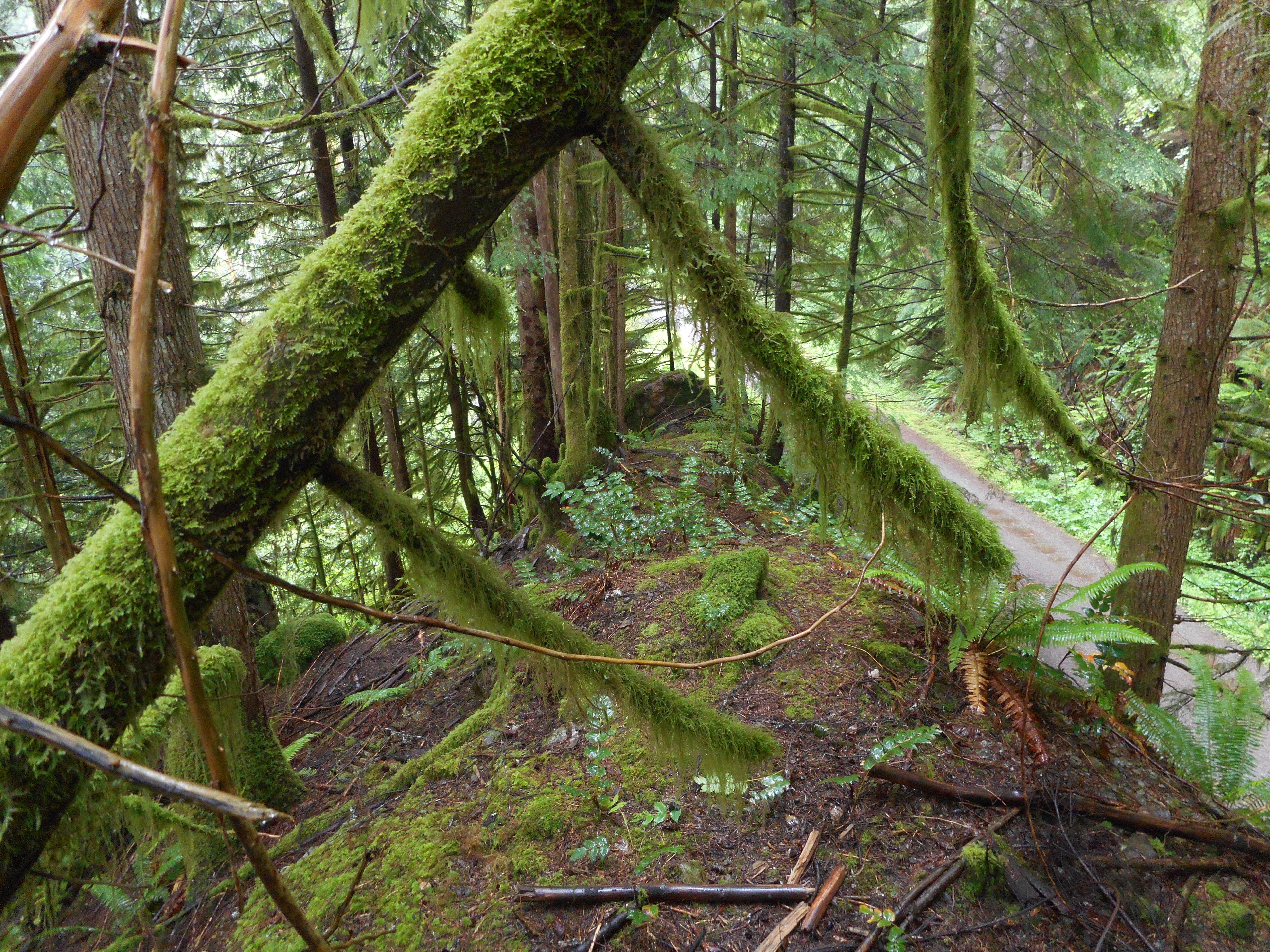
Even though, on the way back, we clambered up a little ridge that sits just north of the Iron Horse Trail and runs a hundred yards or so parallel to the trail. It is fun just to get up to the top and scramble around a little.
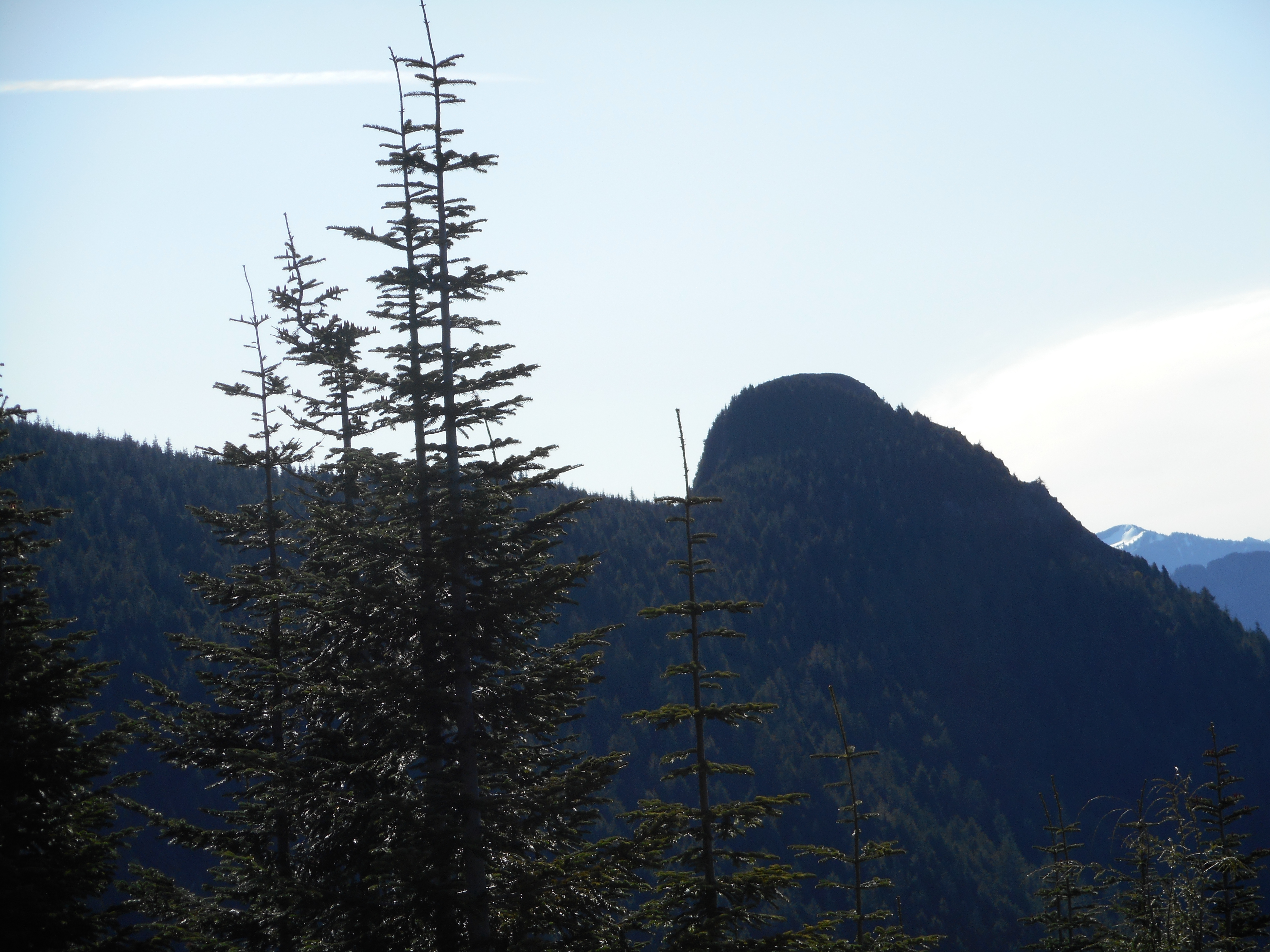
A fun little ridge
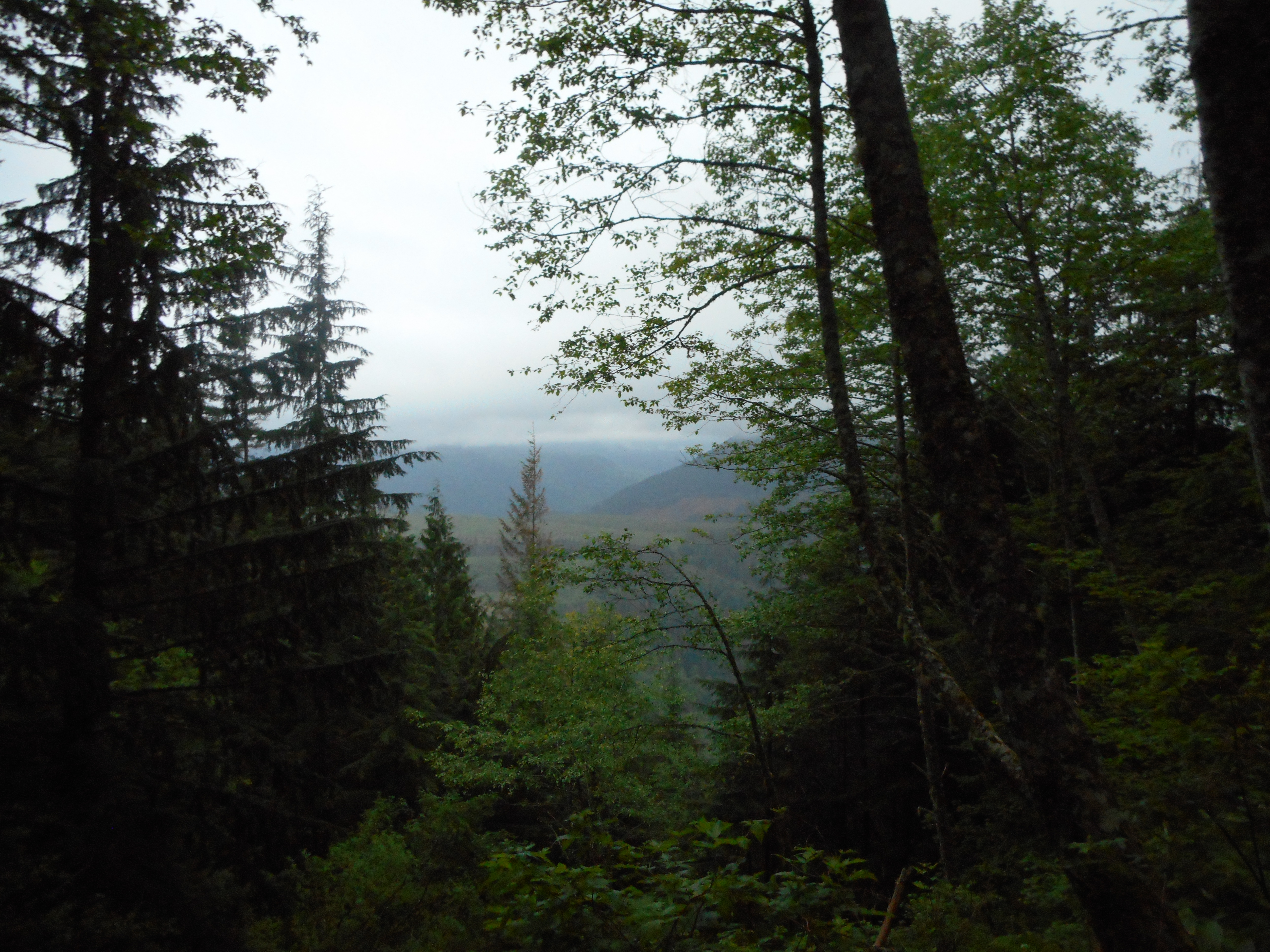
This is taken from the top of the ridge looking east, the IHT just below on the right.
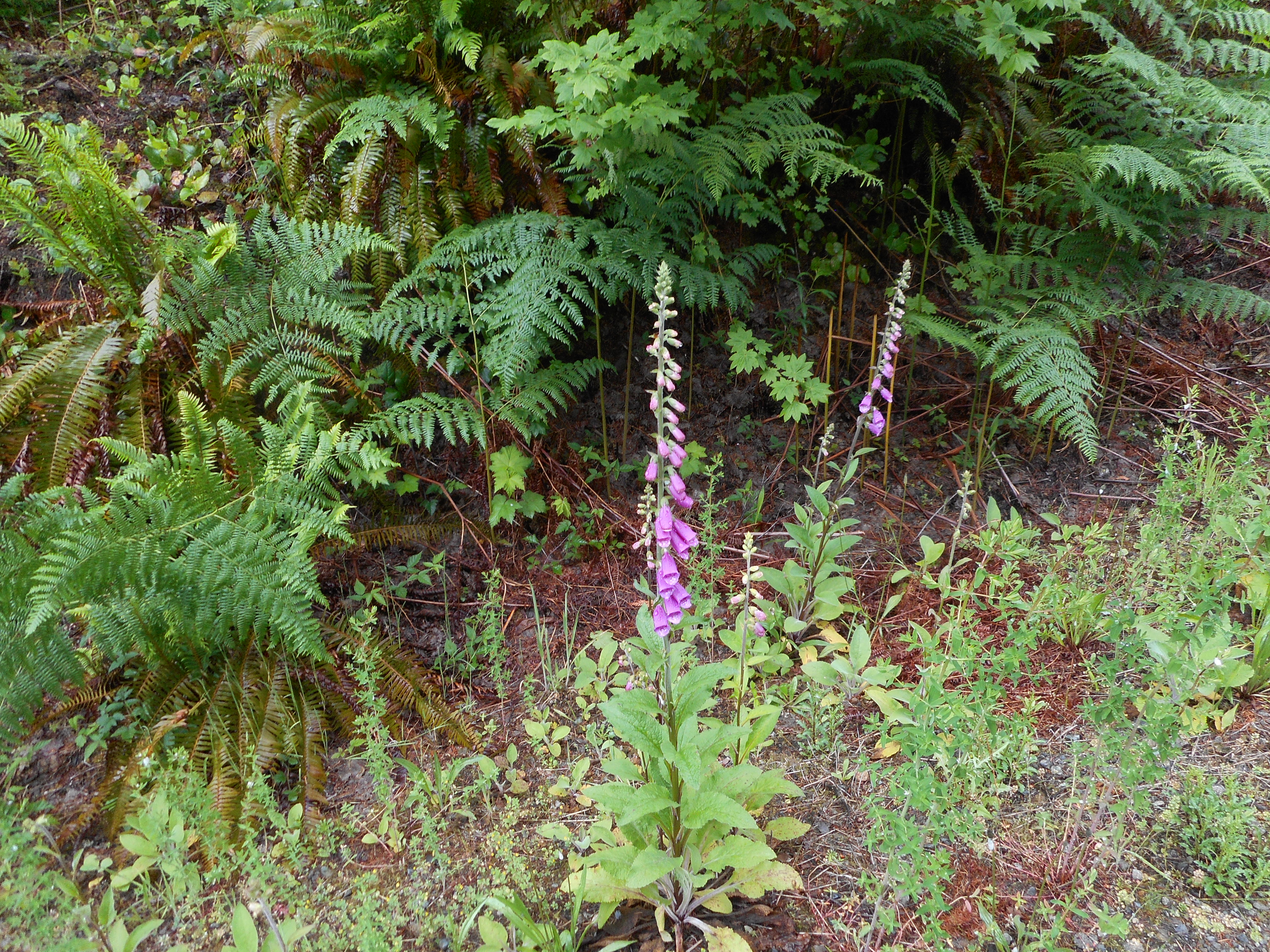
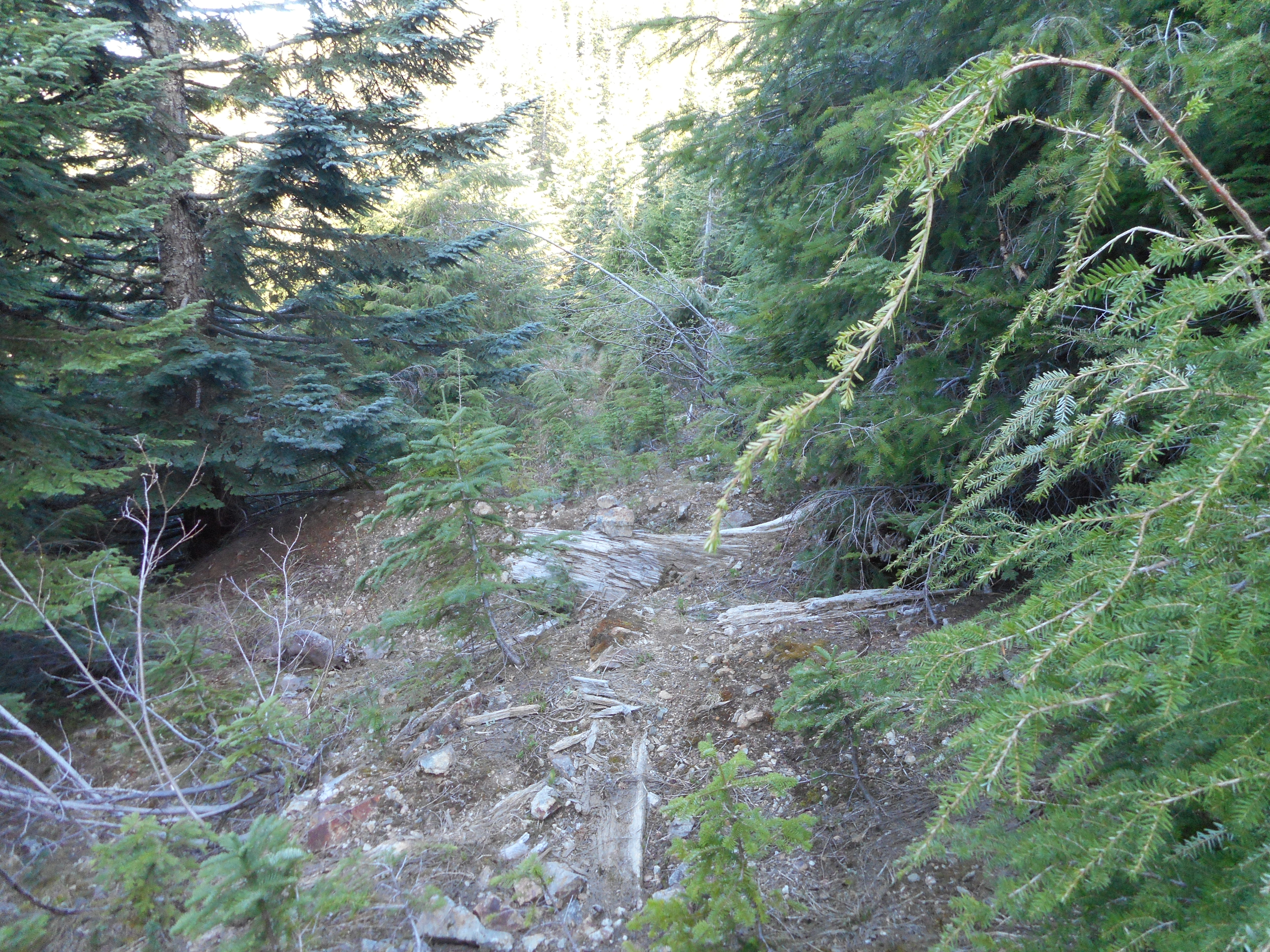
Also, we found an interesting fallen tree just off the Olallie trail. Neither of us were either brave enough or stupid enough (take your pick) to try it, but we did wonder just how far you could walk out on the tree before you either tipped it over or fell off.
Anyone care to try it?
We agree that we wouldn’t want to try it but would be happy to watch someone else give it a shot. So if it looks enticing, let us know, we will lead you to it and watch (from a safe distance).
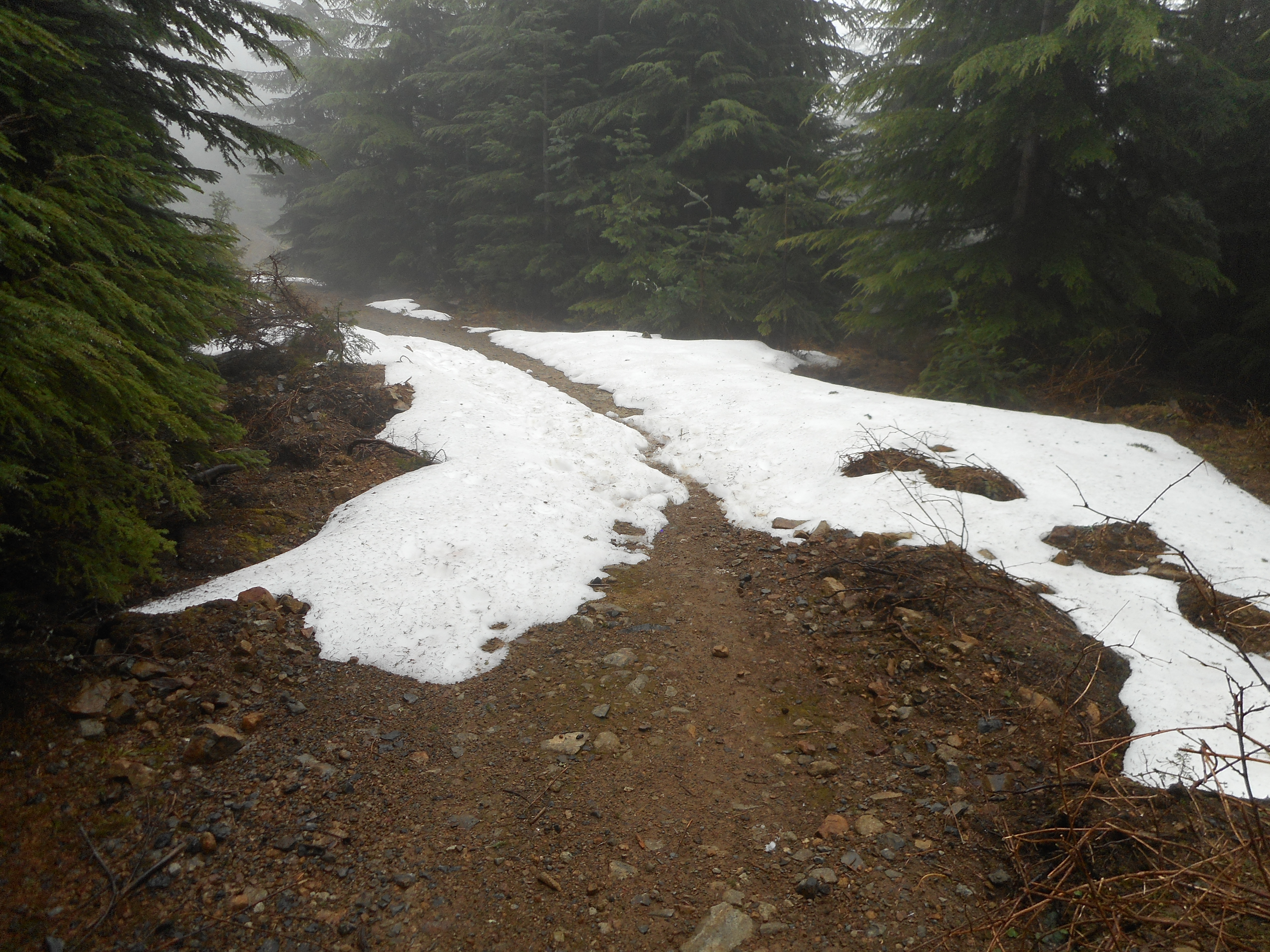
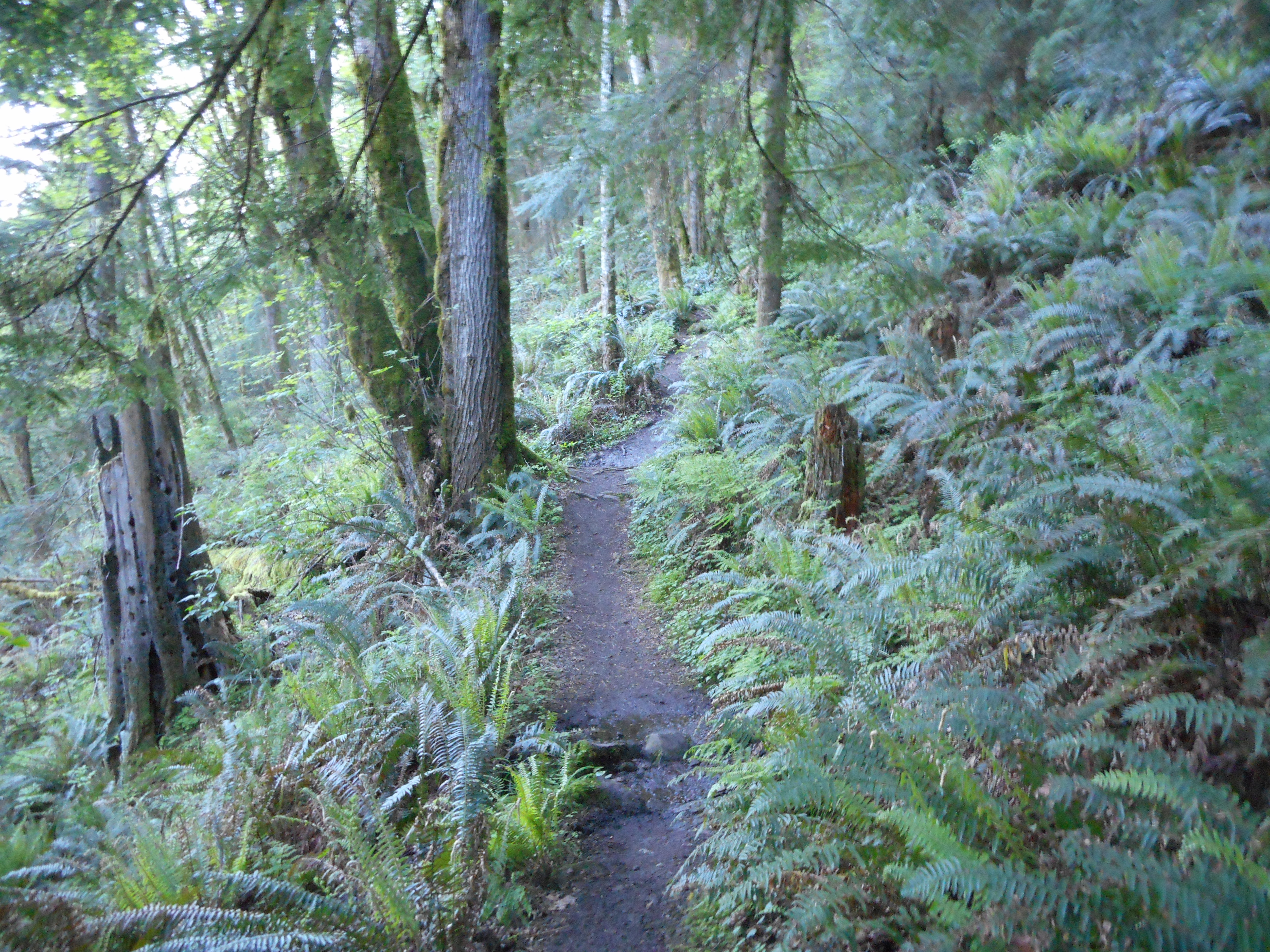
A gentle hike, 8.4 miles, 1200 ft elevation gain, but just what the doctor ordered today.
Solo hike today up Mt. Washington. I have done this more than a dozen times but not since early last fall, when I ran across construction equipment.
Derek and I were on Mt. Washington a couple of months ago when we descended via the Mt. Washington trail after doing Change Peak. But we did not hike up Mt. WA trail, nor did we visit the summit.
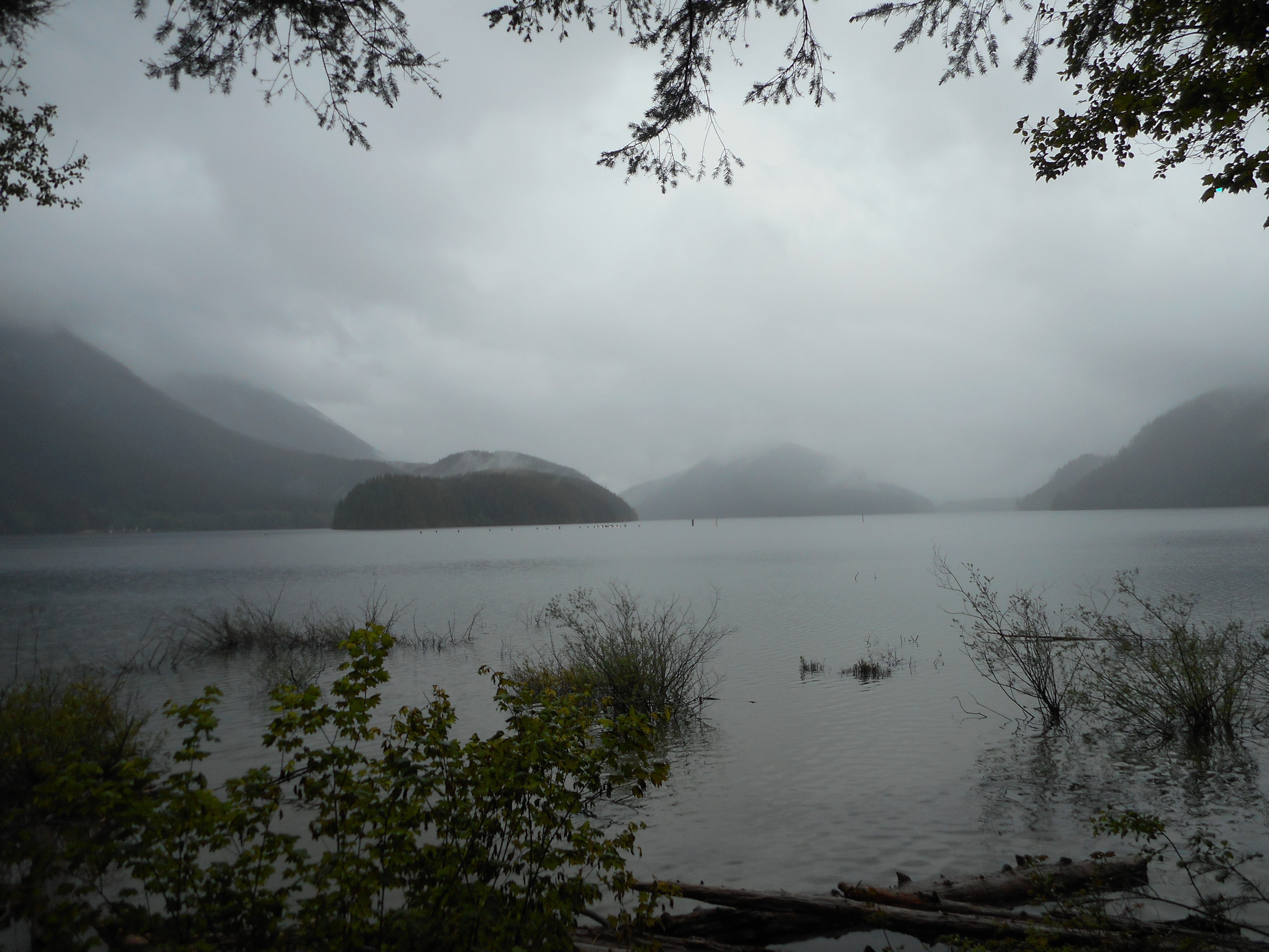
I got fairly soaked today, very rainy. No views. Best view was early (I was on the trail at 5:15):
NW view 5:50 am
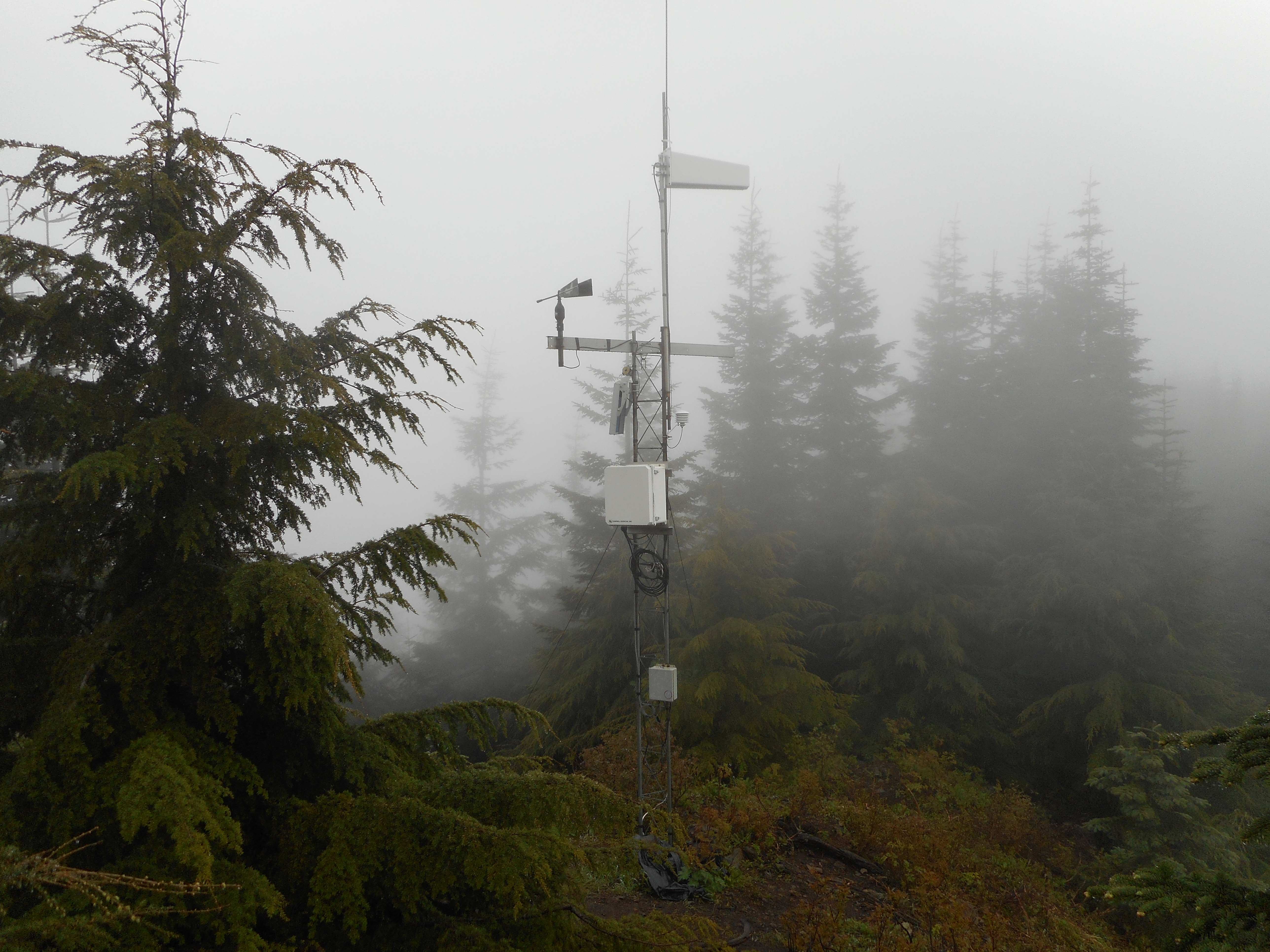
By the time I was on the summit, the electronic gizmo at the top was the greatest view:
At the summit – oh boy, what a view
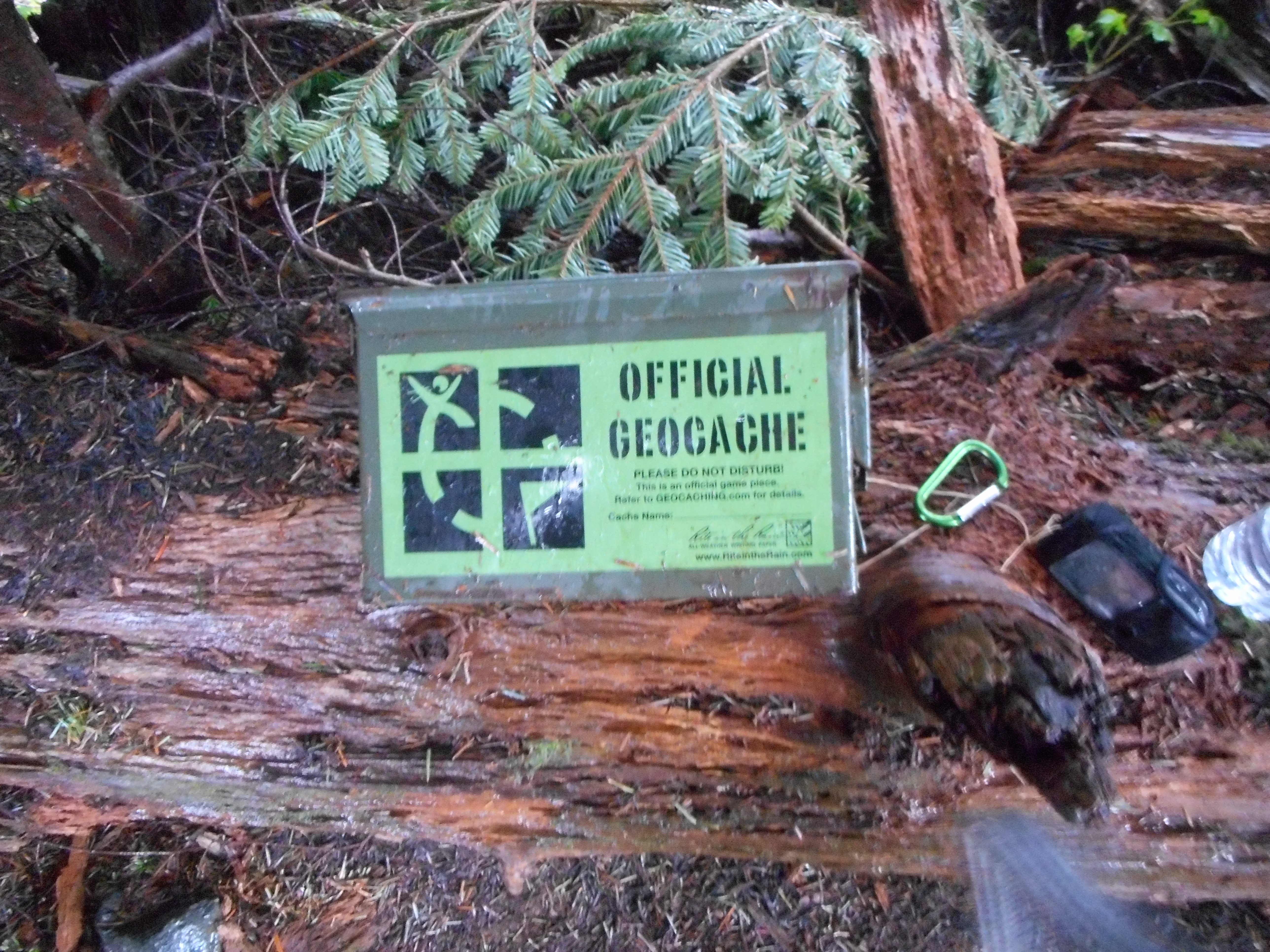
But as many times as I had been up there, I had never stepped to a little-noticed section just a few feet NW of the summit rock. I entered the little tree-covered area to get out of the rain and I noticed an ‘official’ geocache box:
Geocache at the summit
I opened it up and signed the notebook inside. The first signature was from 2005, the most recent from about 2 weeks ago, so it has persisted for a long time. Glad no one has vandalized it. It isn’t easy to find, which is why it is a geocache.
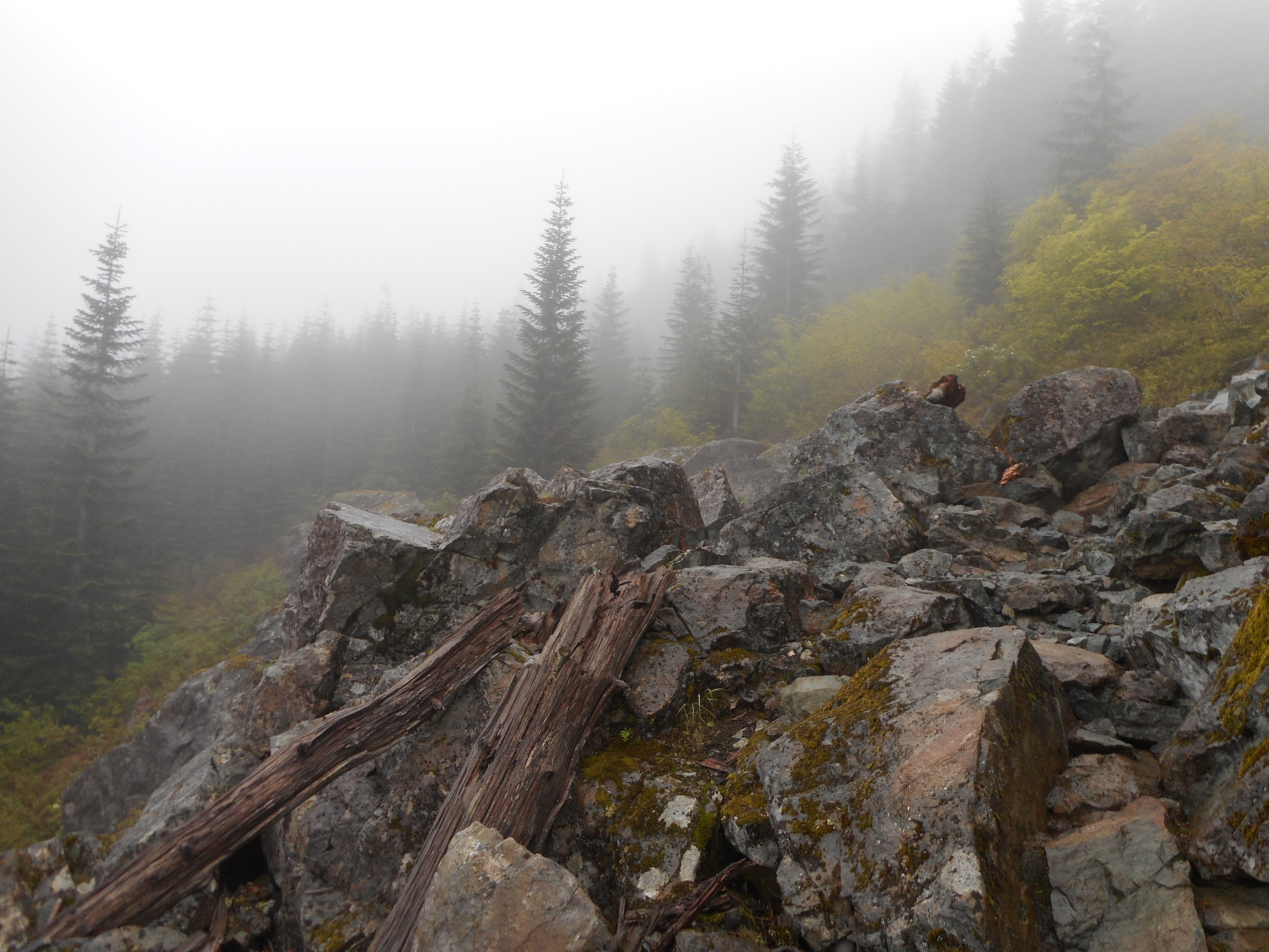
There is a section on this hike that, with no snow, is fairly trivial to navigate. The section consists of boulders you have to navigate but, as I say, it really is not a problem:
This is where I don’t like to see snow
But with lots of snow this place gives me the willies. I was glad to see Mt. Washington has transitioned to snow-free. Now, all I have to do is find a day without rain.
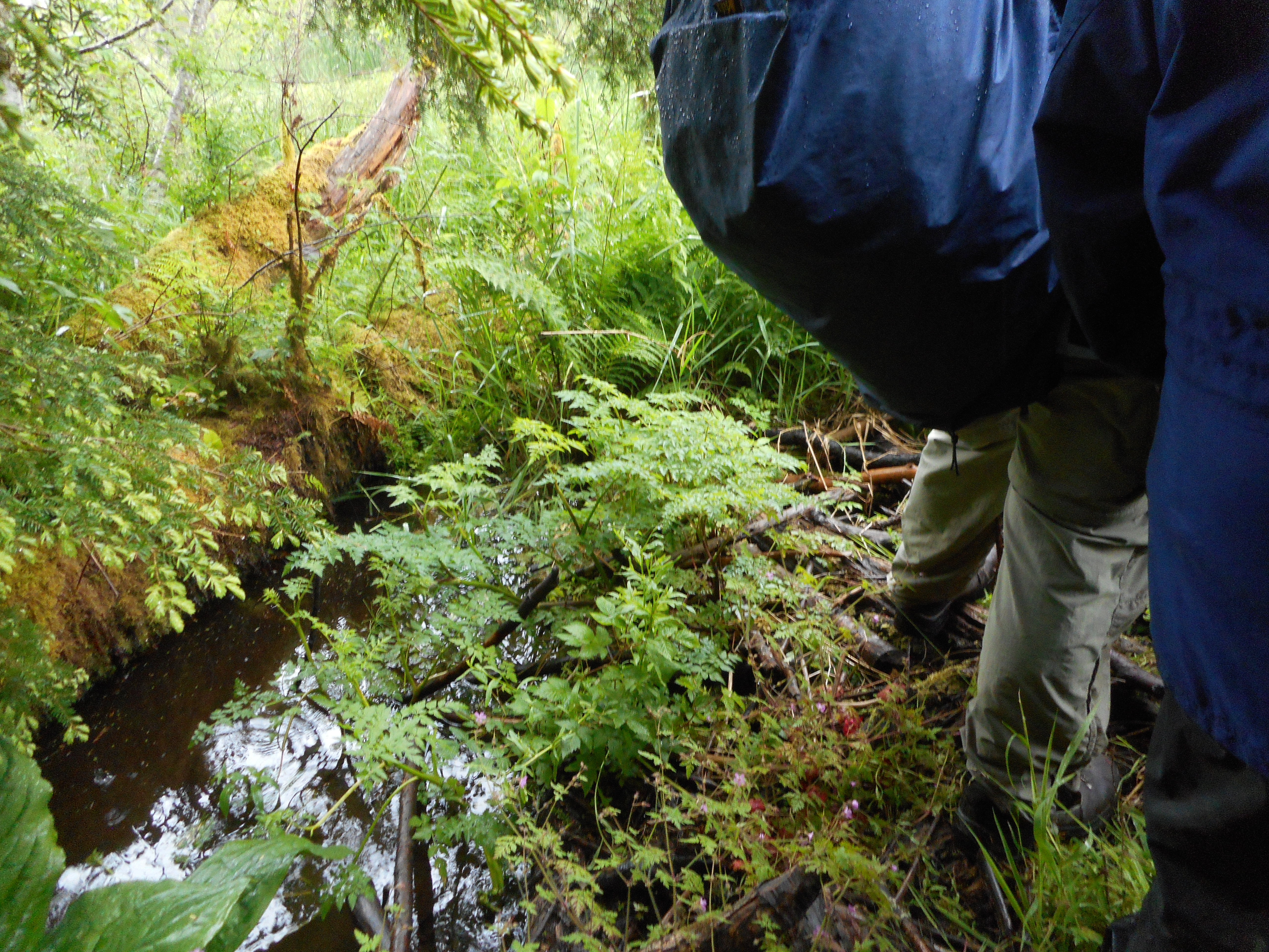
I participated in another Cedar River Watershed Education Center (CRWEC) program today, the wetlands program. Just like the one I did last September, Adventures in Forest Ecology, this program was awesome.
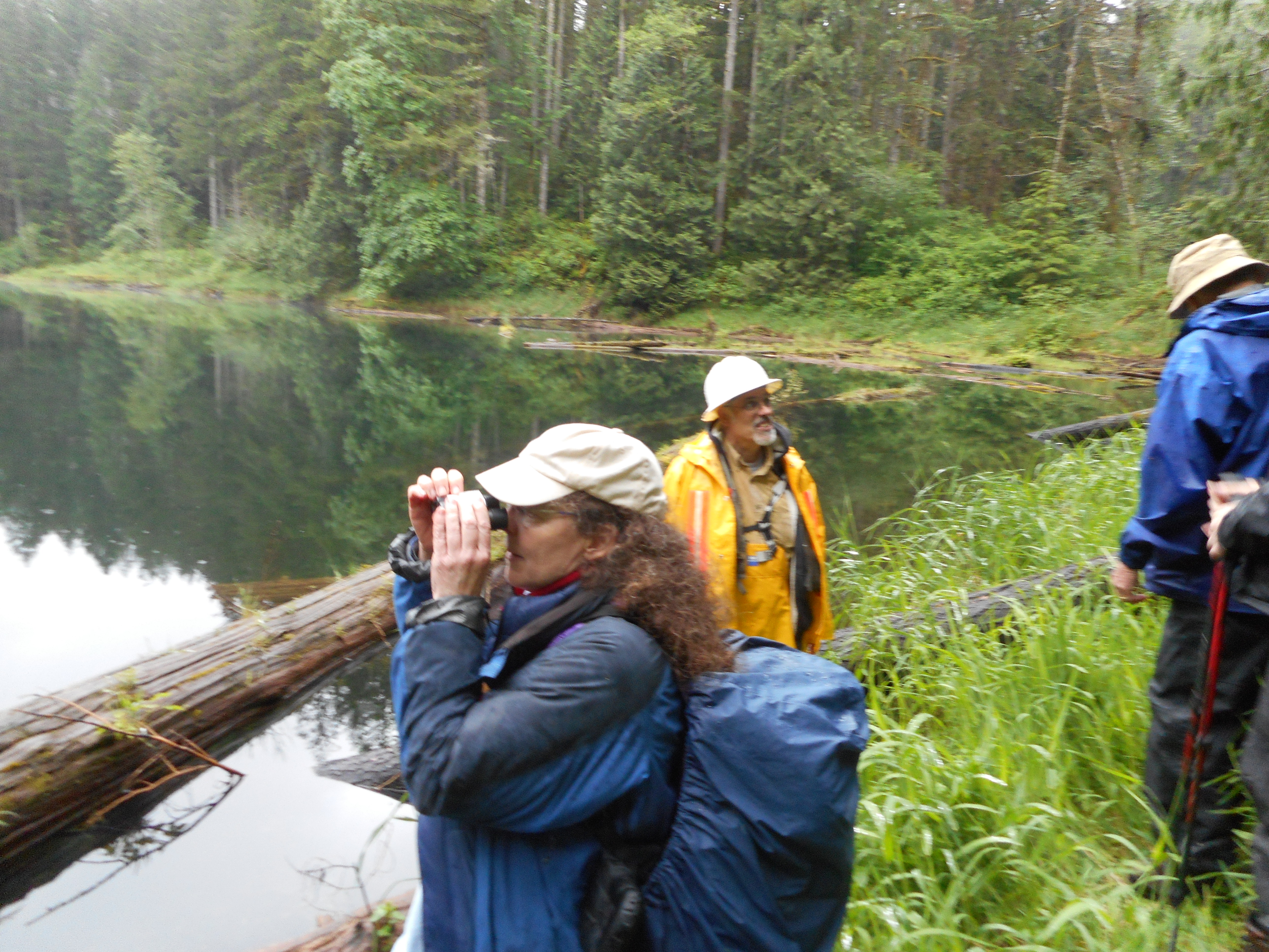
We checked in at the center at 8:45 am, got a quick orientation from our leader, Clay Antieau (Google him for a bio, he is a major expert on grasses and wetlands and native plants and…) and then we set out into the otherwise inaccessible watershed.
Clay Antieau
This is definitely a program I would recommend to anyone with any interest in the outdoors – well, I would recommend the stops along the way. However, I must admit that we did a reasonable amount of bushwhacking up and down somewhat steep hills, over an old tree that acted as a bridge over a bog moat, and through the woods.
This was no problem for any of us. It was obvious from the group we had that everyone was a hiker and that some bushwhacking would be plain old fun. But those who are not used to this kind of thing might have an issue. Forewarned.
We took two vans into the watershed backwoods, over the surprisingly well-maintained roads back there, with four stops.
First, we visited a fen. Clay explained the difference between fens and bogs and perhaps next year, when I take this program again, it will sink in. I believe the difference had to do with water exchange but no matter. Fens and bogs are both wonderful places to visit.
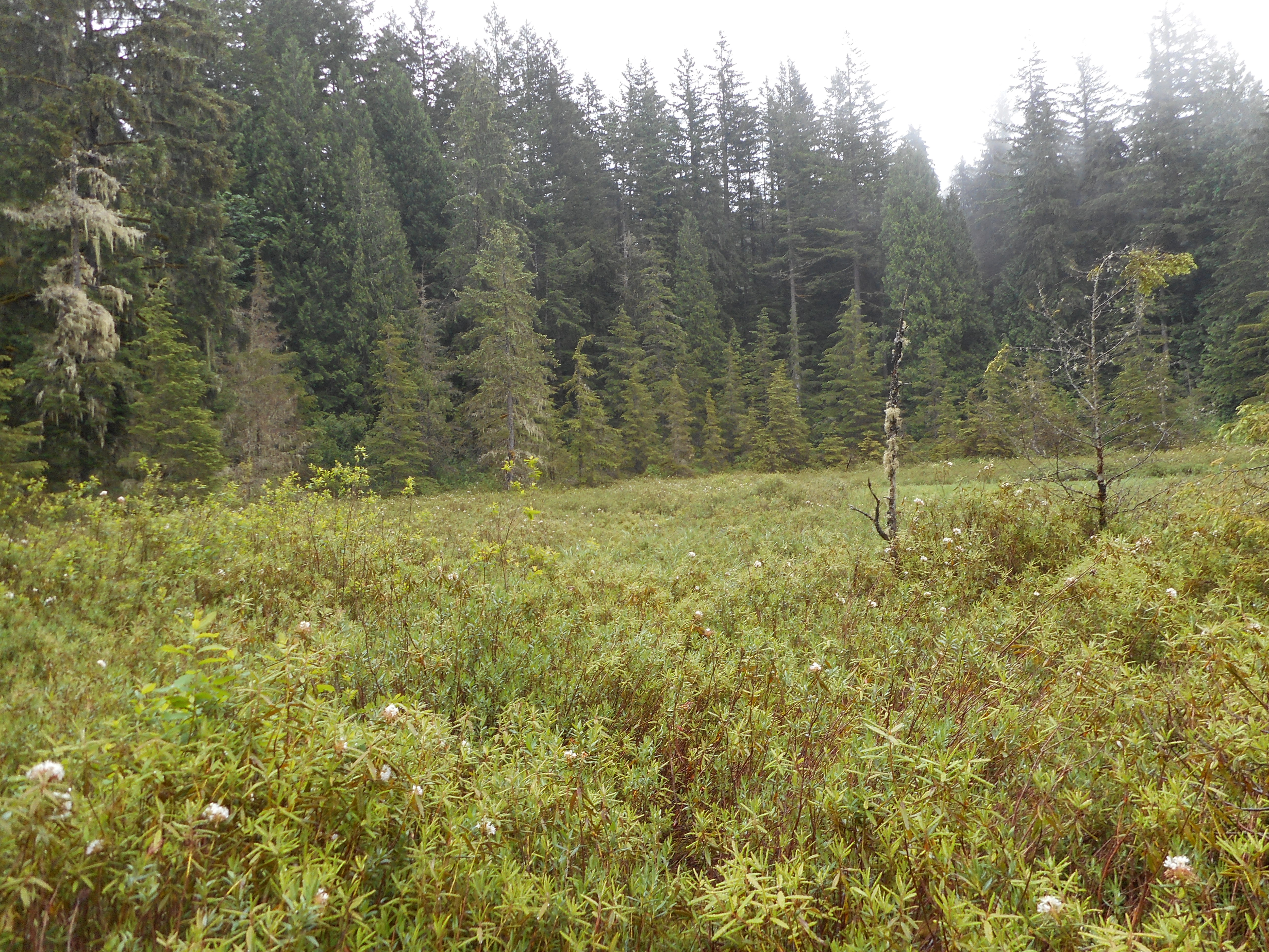
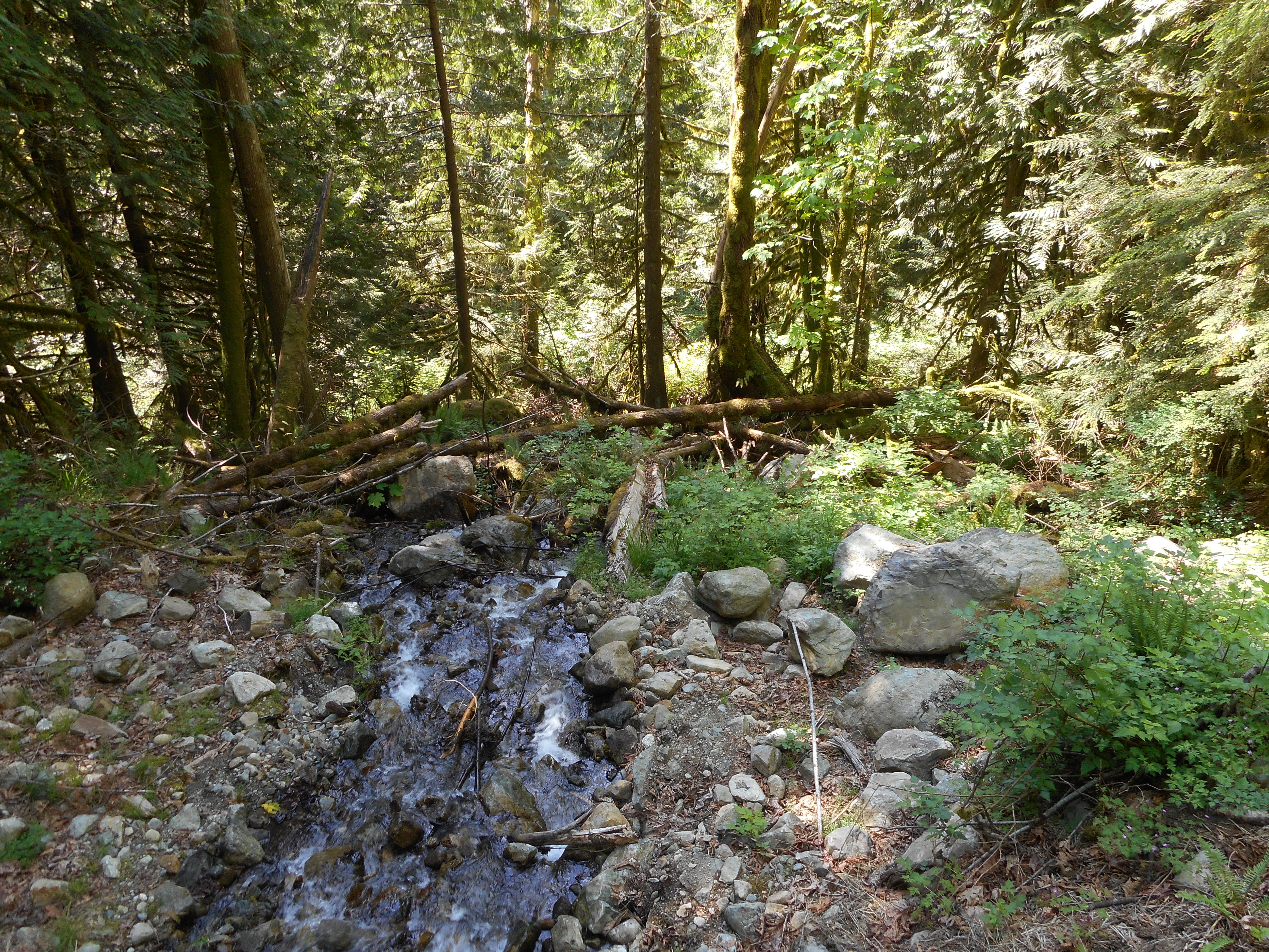
And later, we visited a bog:
Bogland
Photos do not reveal how springy the ground is – you can really jump up and down on this turf that has not been disturbed since it was created via glaciation seventeen thousand years ago. Photos also cannot convey the wonderful smells of bogs and fens. Were there any template in my experience I could say they smell kind of like…. but there is no such template. They are unique. Truly, if you could bottle that smell and release it via (say) incense you would make a killing.
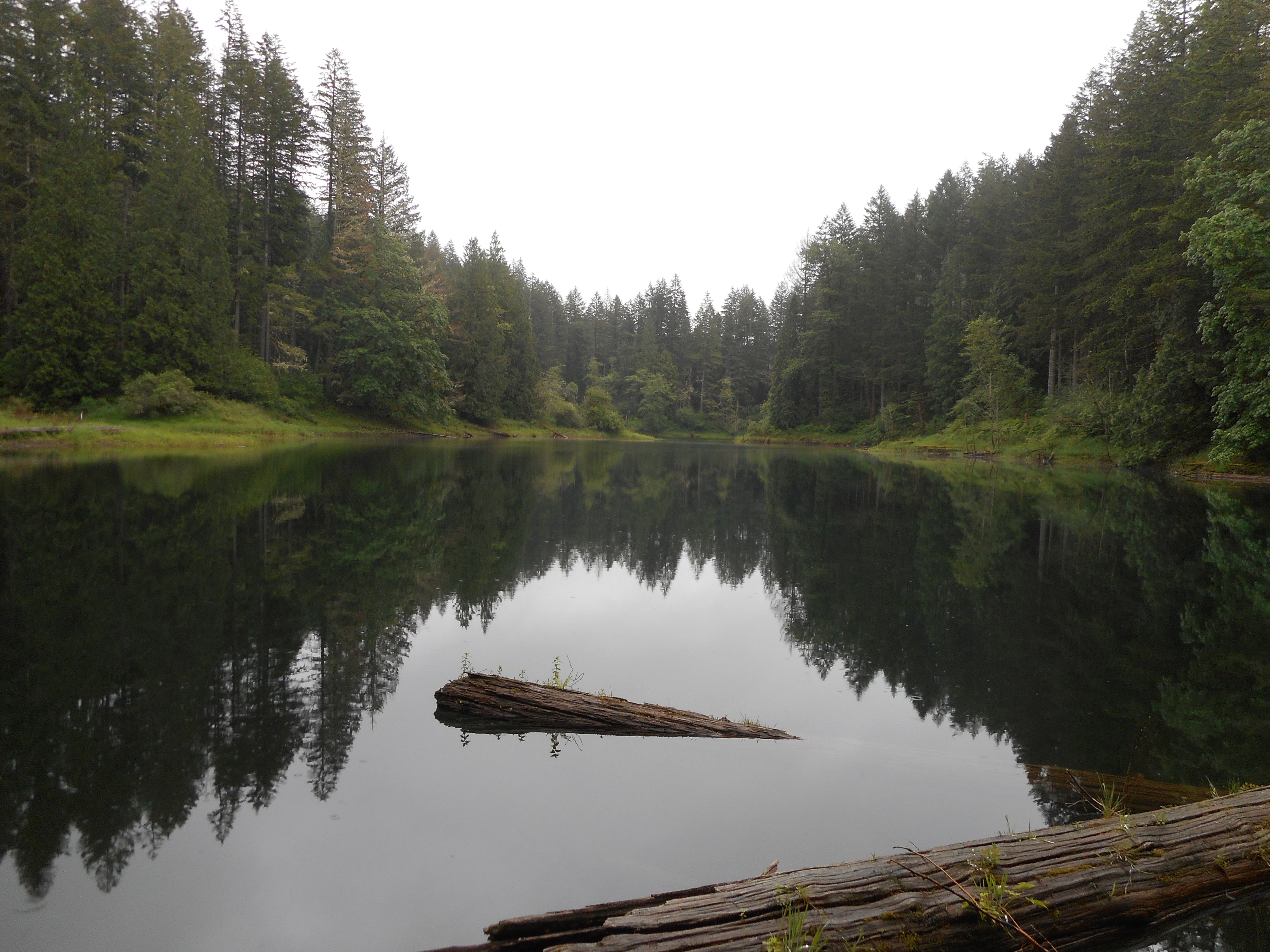
We also visited one of the six kettle lakes in the watershed – they are called, collectively, Fourteen Lakes because they are in section 14. Go figure. These are also created via glaciation.
When glaciers recede they leave enormous chunks of ice in place. Eventually those chunks of ice melt, but in the meantime, the receding glacier releases energetic rivers of water and rocky debris, which swirl around the huge ice chunks.
The result:
One of six kettle lakes
We also visited a beaver habitat, and stood on top of a beaver dam. But don’t worry, we didn’t bother any beavers, this dam is no longer maintained. There are still plenty of beavers around, they just gave up on this particular dam.
And finally, we made a quick stop at a sort of picnic location, clearly designed for workers, since the area is totally closed to the public. Do you want a bunch of idiots like me tooling around the area that sends you your drinking water?
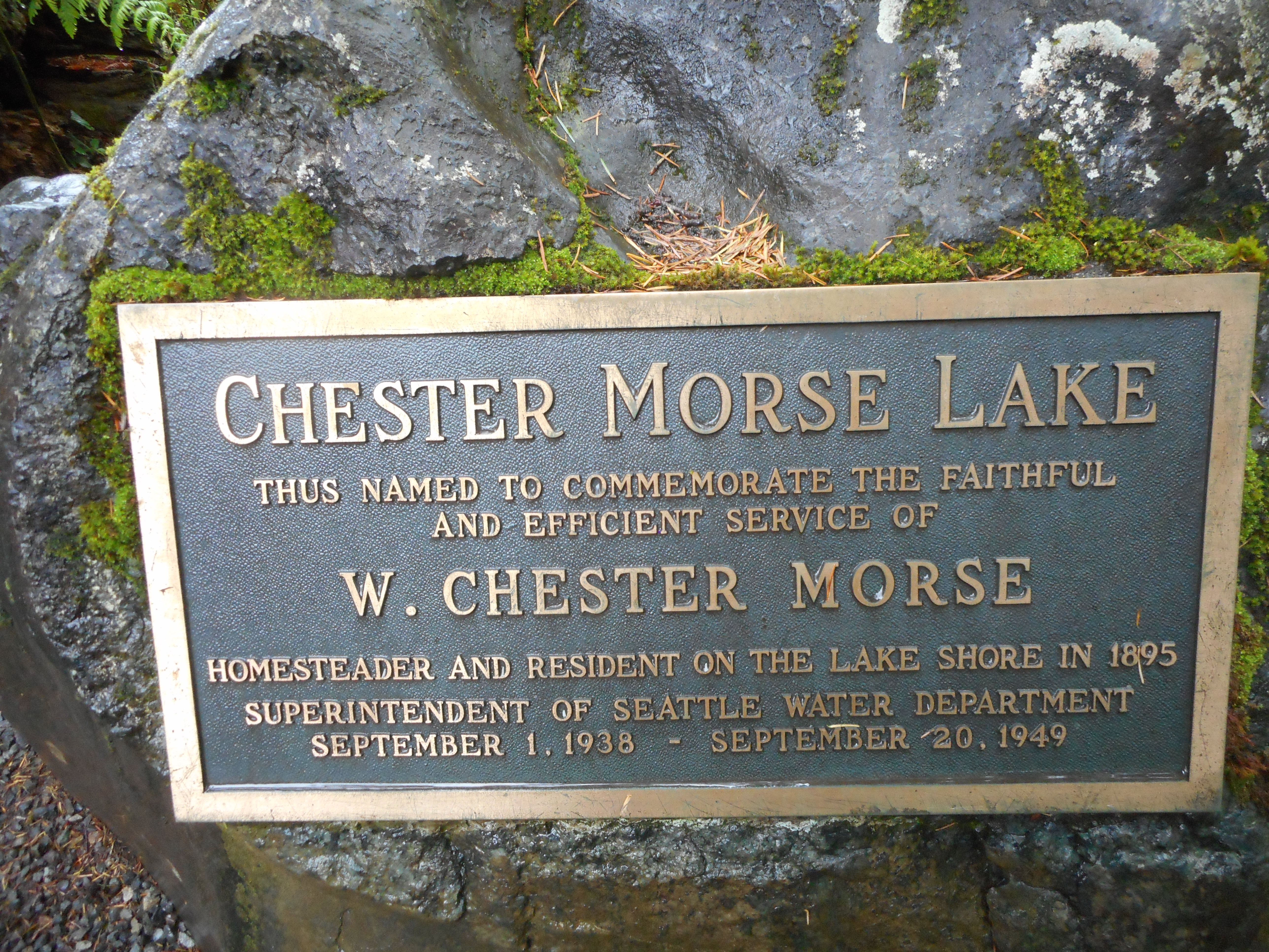
Anyway, the largest lake in that area, by far, is Chester Morse Lake. Derek and I have wondered who the heck Chester Morse was, and here is the answer:
About Chester Morse
My next CRWEC program is in June, this one focused on Railroad History. The area has a massive railroad history, particularly since those logs had to be hauled out and the railroads did it.
I also have an Old Growth tour in August and the Forest Ecology in September. This place is great but you have to reserve spots in these tours early. They only have a few spots and each one happens once a year.
Tomorrow, weather permitting, I will be on the trail somewhere.
What a great hike today. I can’t wait for Derek’s knee to be in hiking condition because he will love this hike. It has all the elements we like.
It was long enough, 11.4 miles round-trip, steep enough, over 3,400 feet of elevation gain, with most of it in the last three and a half miles, and most of all a new summit along a very unmaintained “trail”.
I brought along some pink flagging tape and tied it to trees to show the route. I knew that Mark Garrett was following along, looking for the same peak and possibly the next one, Crater Lake Mountain.
We met up as I was descending on the main Teneriffe Trail, we compared notes, and I told him about the pink tape and the fact that I put two strips on a tree to mark my farthest point.
I left the car to head up the trail at 5:07 am. I had to be back home for a meeting, so I went up and down as quickly as I could and drove right home. I just barely made it.
Anyway, there are 3 or 4 peaks in the vicinity of Mt. Si/Mt. Teneriffe and these summits are very rarely hiked. Mark was the one who really noticed them and then we both found maps and trip reports with route details so we thought – what the heck.
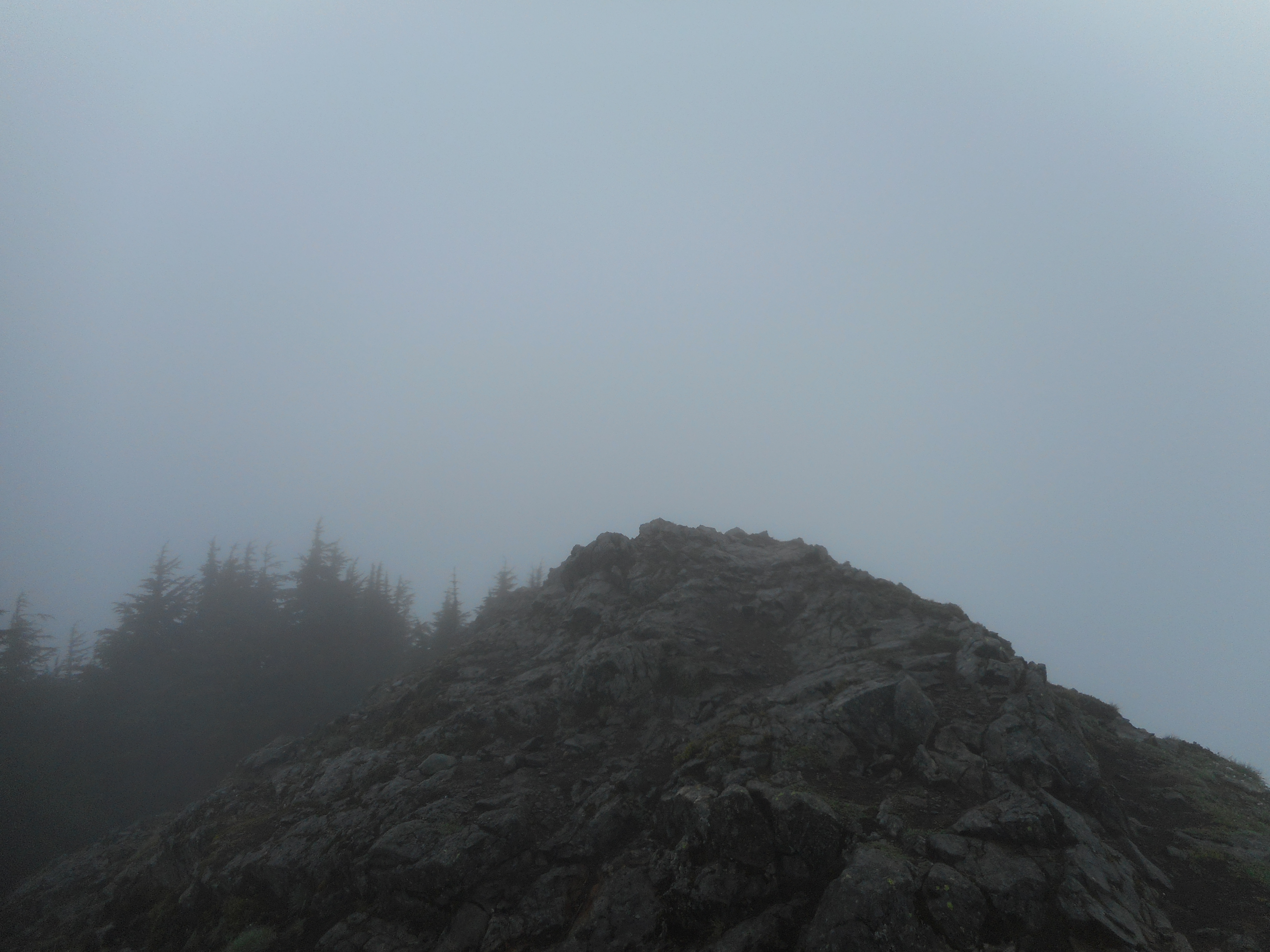
The Blow Down summit is elusive. I think you can bushwhack straight up a ridge to the peakiest peak, but otherwise it is more of an ‘area’ than a specific spot, unlike its near neighbor Teneriffe.
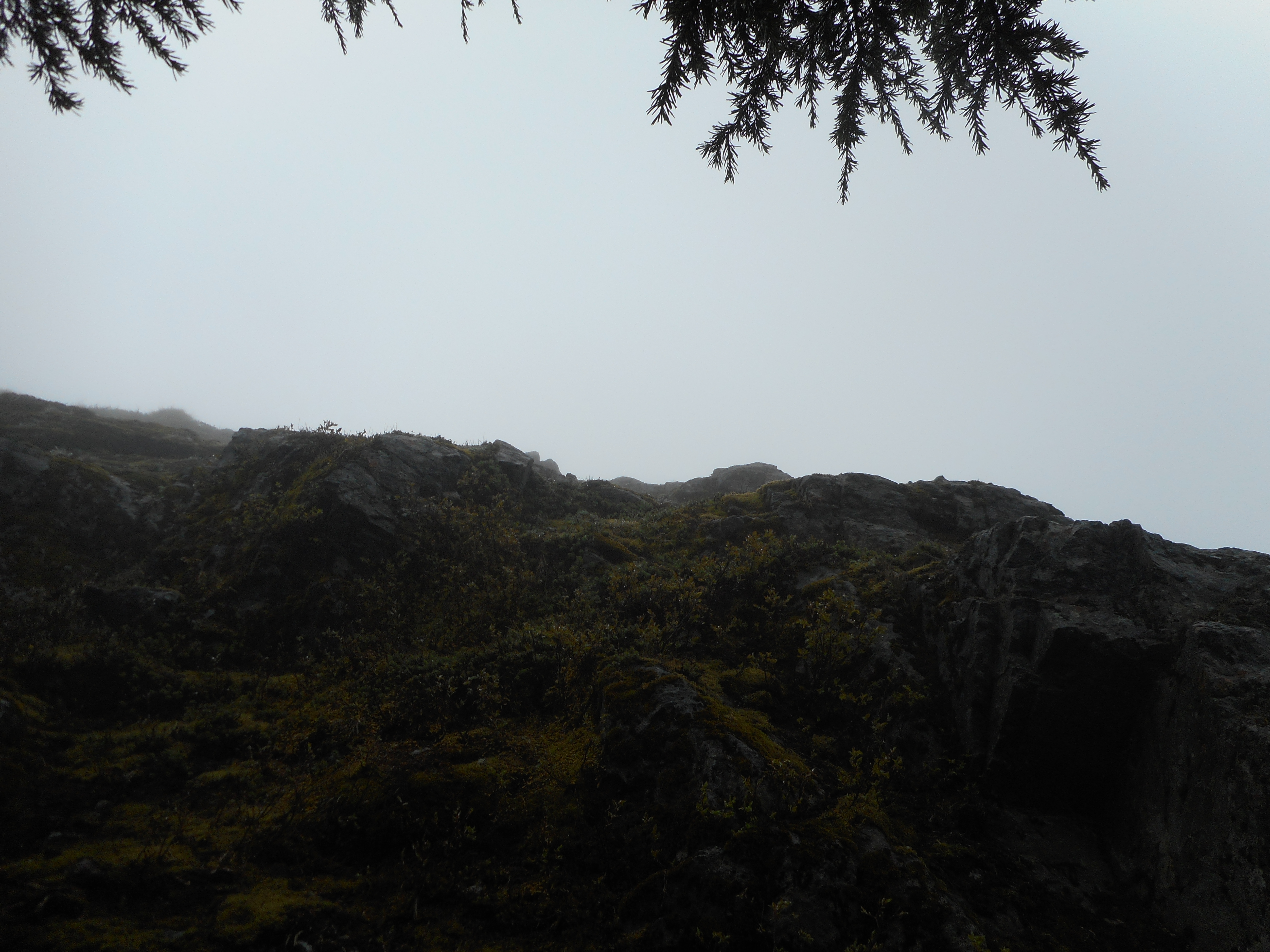
Peaceful Blow Down Summit areaNear Blow Down Summit
I am going to try a different route, though, next time I am up there. I think it is possible to get there with more time on Teneriffe trail (maintained) and less time on Blow Down trail (more or less bushwhacking).
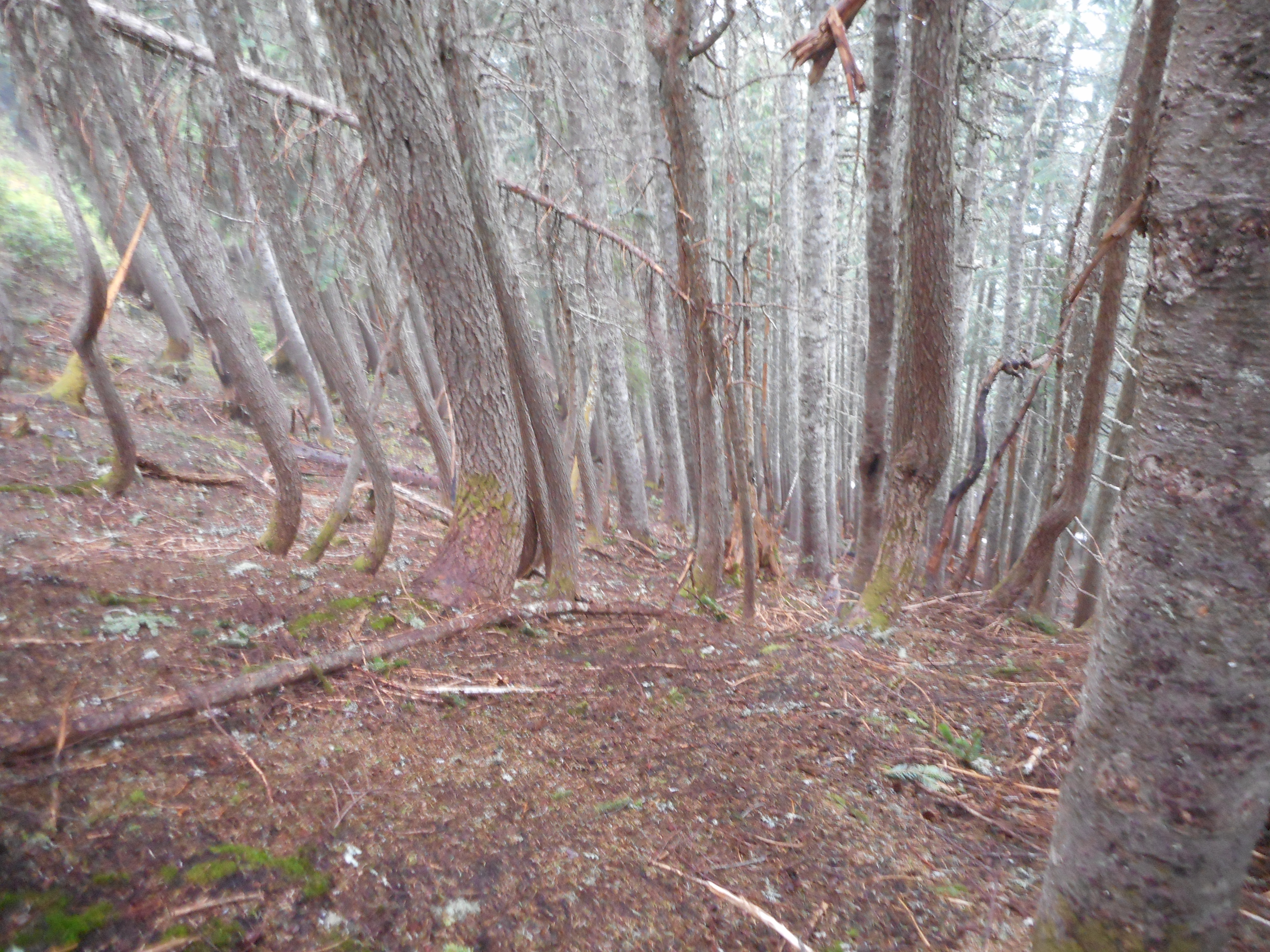
Along the Blow Down trail
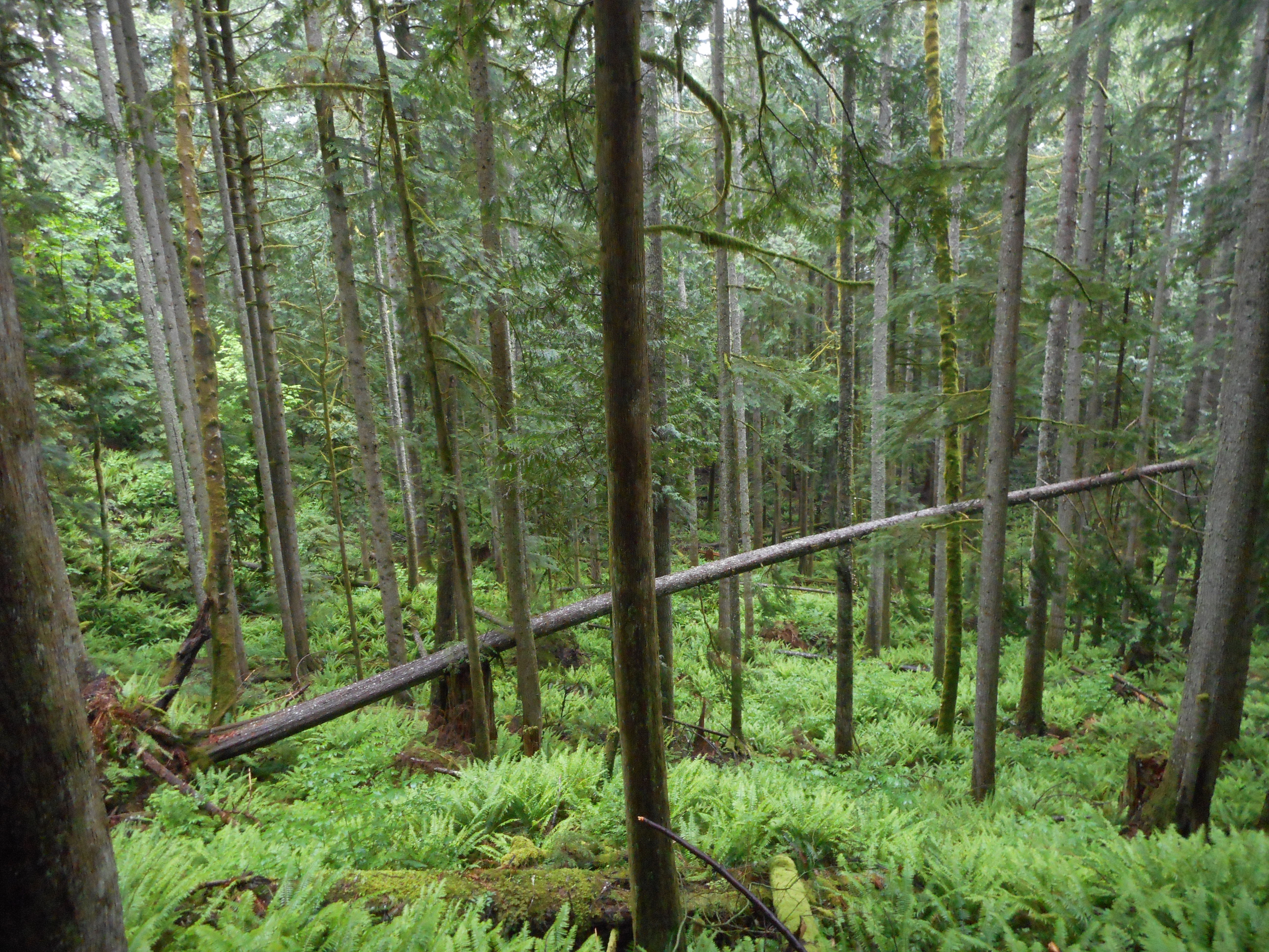
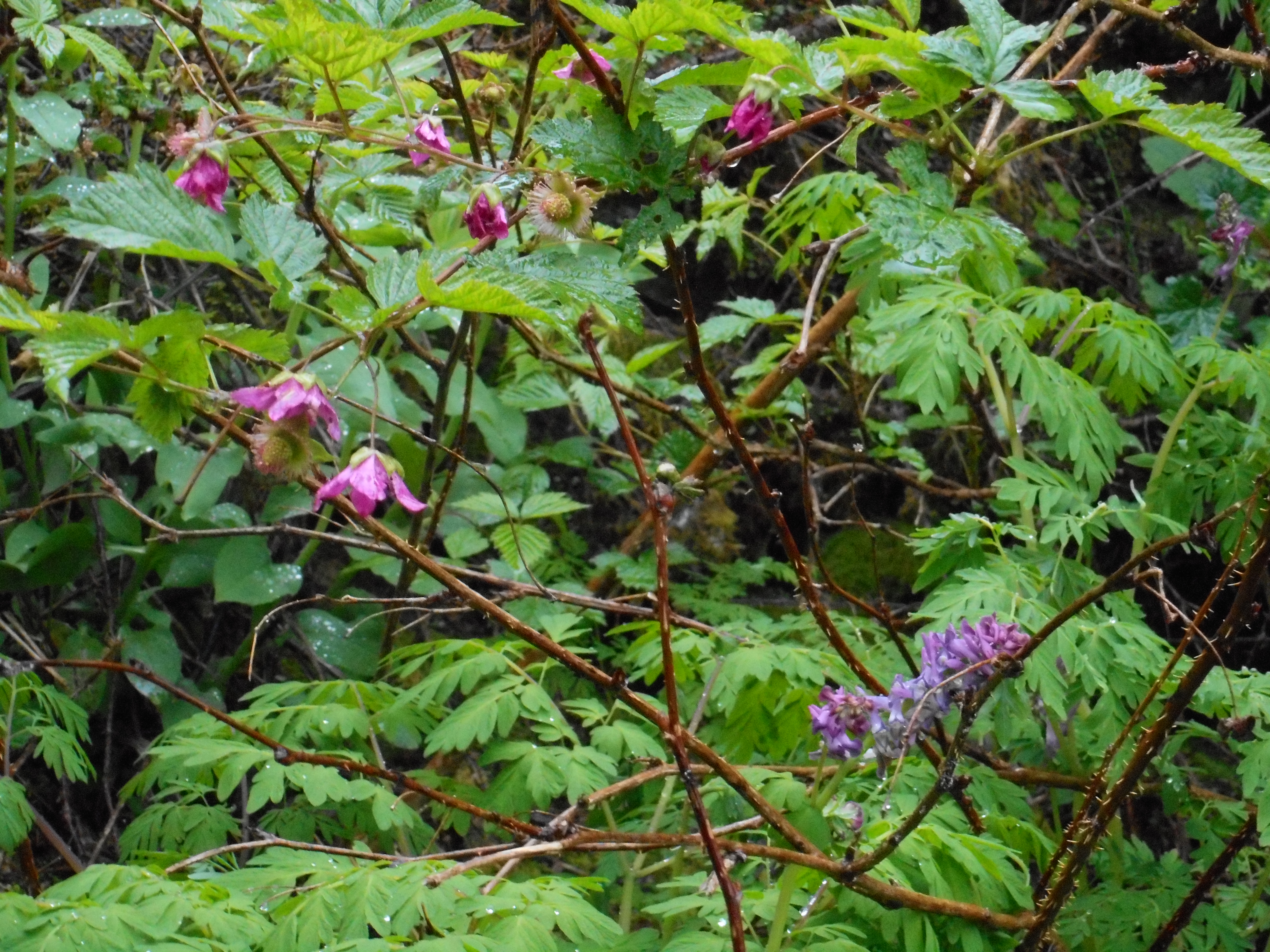
And, as always, it is so wonderful to be in the beautiful forest.
In the forest
Fin and Cam are visiting this weekend (my favorite thing to do) so no hikes until the following weekend. I have another one of those Cedar River Watershed Education Center events on Saturday the 21st, so I am thinking ahead to the 22nd, with a possible Tiger Mountain conditioning hike next week.
The new is mostly good. The Teneriffe trail is as good as it will get. No serious blow downs, just a few tiny little patches of snow:
Just a little snow
As usual I had time constraints (today is Mother’s Day, after all) so I got to the trail head at 5:15 am. Only needed the headlamp for 30 minutes or so, the sun is rising earlier and earlier. I love it.
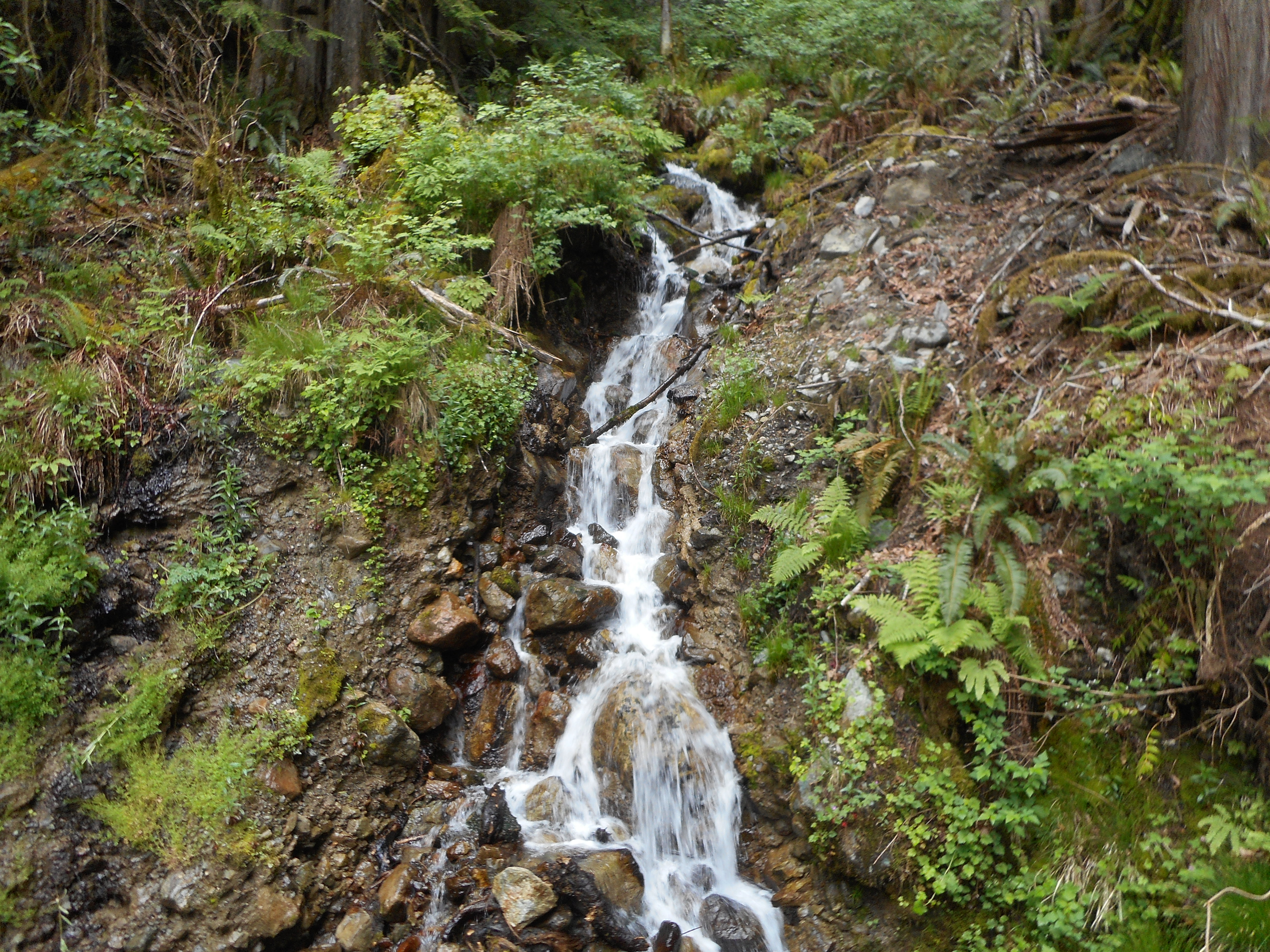
Little Waterfall
I took the long way up because the shorter route is so steep it borders on dangerous, for me at least. I prefer to hike Kamikaze Trail with someone else. But the long trail is also very nice. There is a really cool section where you are walking along a narrow ridge at about 4400 or 4500 feet.
View down the ridge
After about 7 miles of tough hiking up the mountain there you are, just below the summit. If you want to stand on the top and check out the summit marker, there is one last challenge:
Looking up at the summit scramble
It is actually not as tough as it looks in the photo, but I am really careful going up and down. And the summit itself requires a bit of focus because it would be very easy to take a wrong step and tumble down the cliff on the east side.
Anyway, 6.5 hours, 13.8 miles, 4,326 feet of elevation gain, not a bad day’s play.
Not sure what is up next but the news for Derek’s knee is not good. I saw him Friday when I was over there watching the Little Angels and he said he cannot get into the doctor until the end of the month and if he walks only a few miles the knee is really sore. Bummer.
As of last week I had zero chance of getting a day off next week but I may be able to flex a day off on Thursday. I won’t know until Thursday morning but if it happens, I will see what I am in the mood to do.
Today was the third time I have been to Tiger Mountain to scout a good loop or loops to do during the week when I am unable to flex my schedule to get a day off. I think I figured out a good one.
I need to keep it to about 2.5 hours. Today’s hike was a bit more than 3 hours, but I took a wrong turn at one point and wasted time, and I went farther along the Talus Rock Trail than I should have done and added time that way.
Basic loop I will try next: I park at E. Sunset Trail Head just off Exit 18 and take the Puget Power trail to Adventure Trail to High School Trail to Section Line and then, instead of heading east on the Talus Rocks trail, turn left at the Nook Trail to the Bus Trail (and I actually saw the ancient, rusted, much-tagged bus along the way) which then shortly connects to the Round the Lake Trail, back to Puget Power Trail.
If that sounds complicated it is, a little, which is why it took me a while to figure out that that route would be about ideal.
So, next time I do it I will update this post rather than add a new one, and I may discover other loops to do, for some variety.
It’s all about getting in better condition, as I would like to do some more serious day hikes his summer (on Mountain Loop Highway or in the Olympics). I have to be in better condition to handle that kind of stuff.
Did Cable Line to West Tiger #2 summit with Derek, 2h 15 min. That time can be improved!
I have not added a few outings here – like last Saturday, 1/21/2017, yesterday, 1/28/2017 and today, 1/29. Today I was scared by what appeared/sounded like a defensive cougar. Some kind of while shrieking that moved bushes above me, closer and closer. I backed out. Will be back in this general vicinity on Wednesday, we shall see how it goes.