Two Hikes – 5/26 and 5/29/2018 – Tiger and Rattlesnake Mountains

Mt. Si and Neighbors

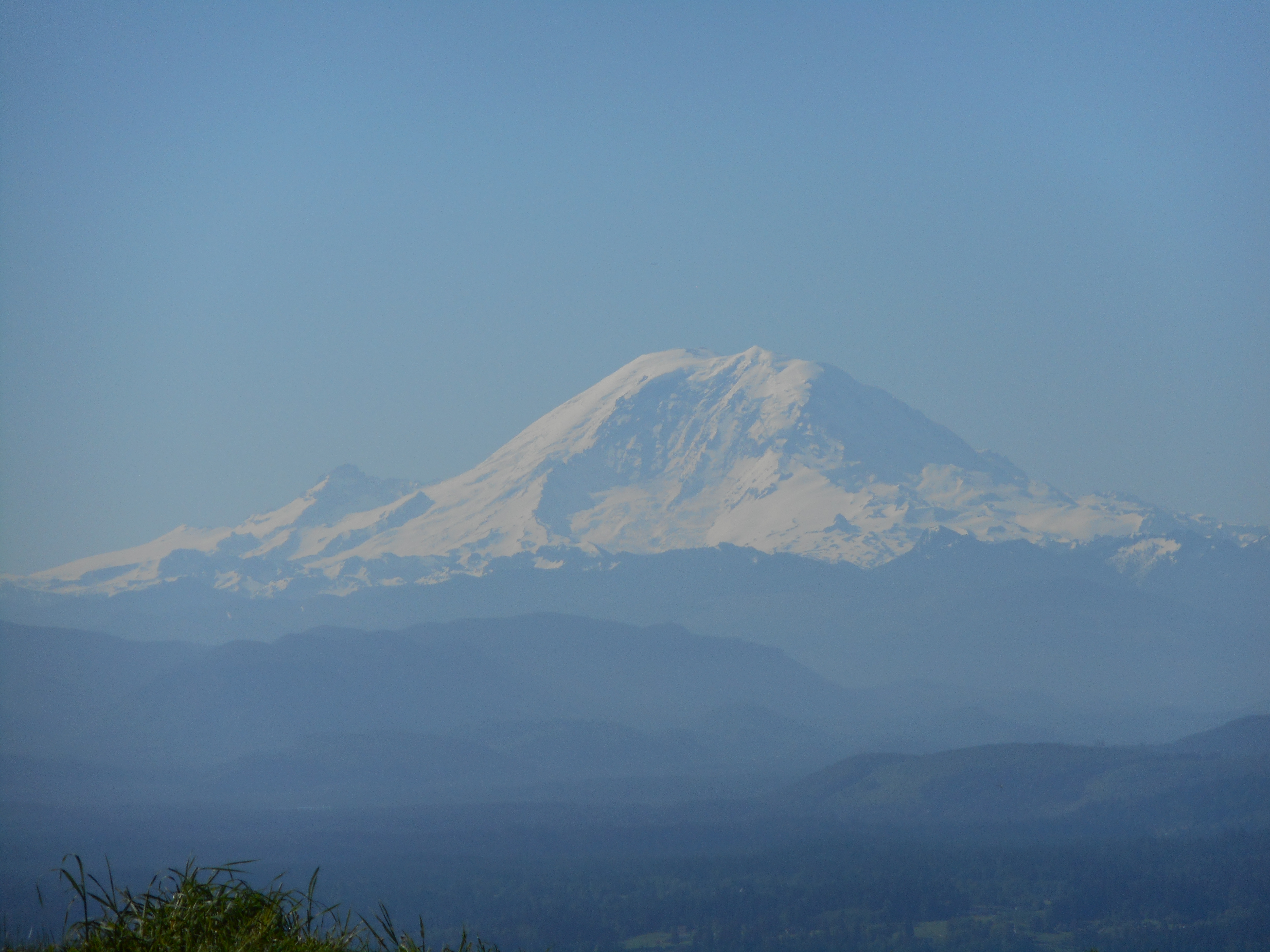
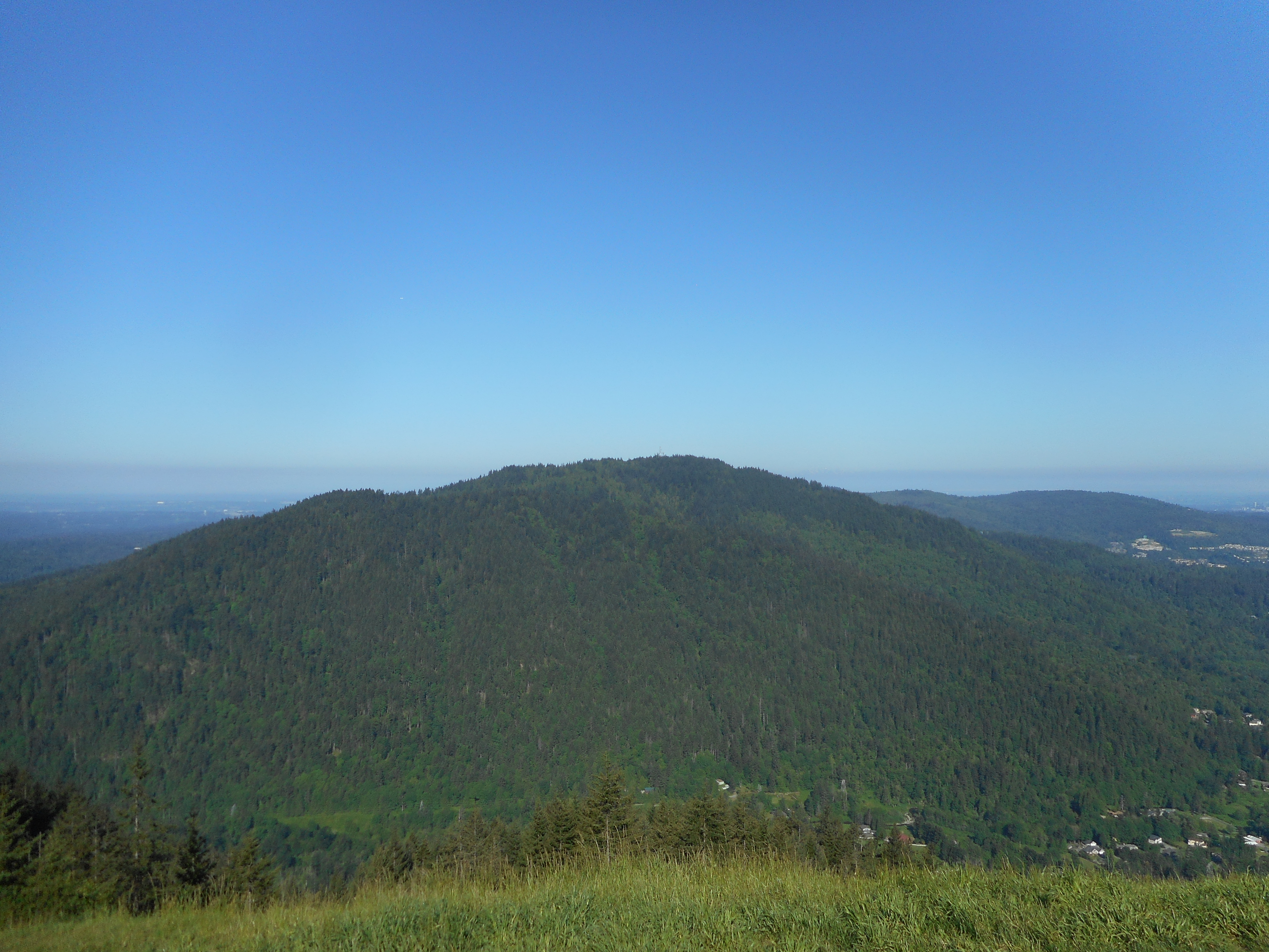
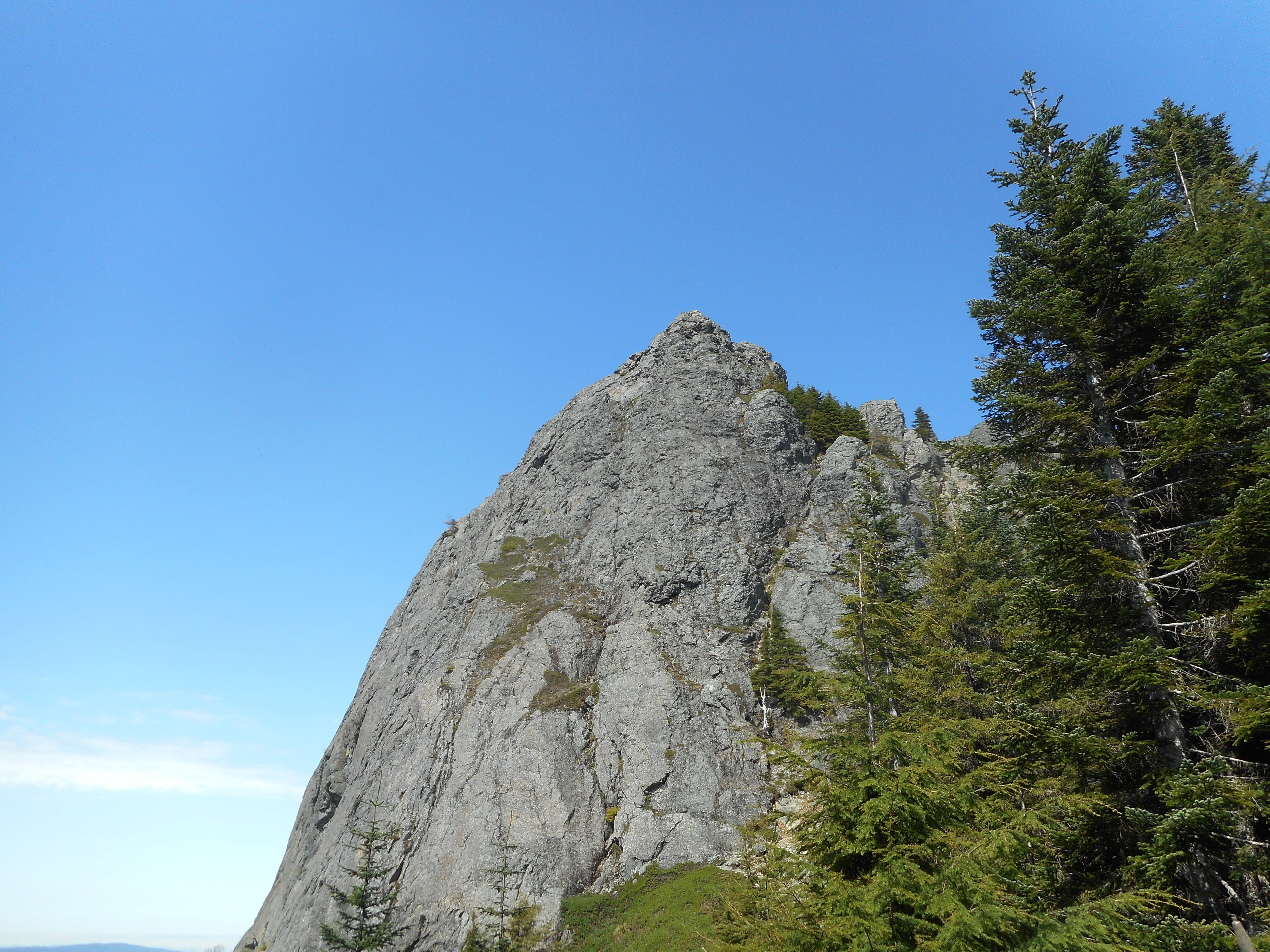
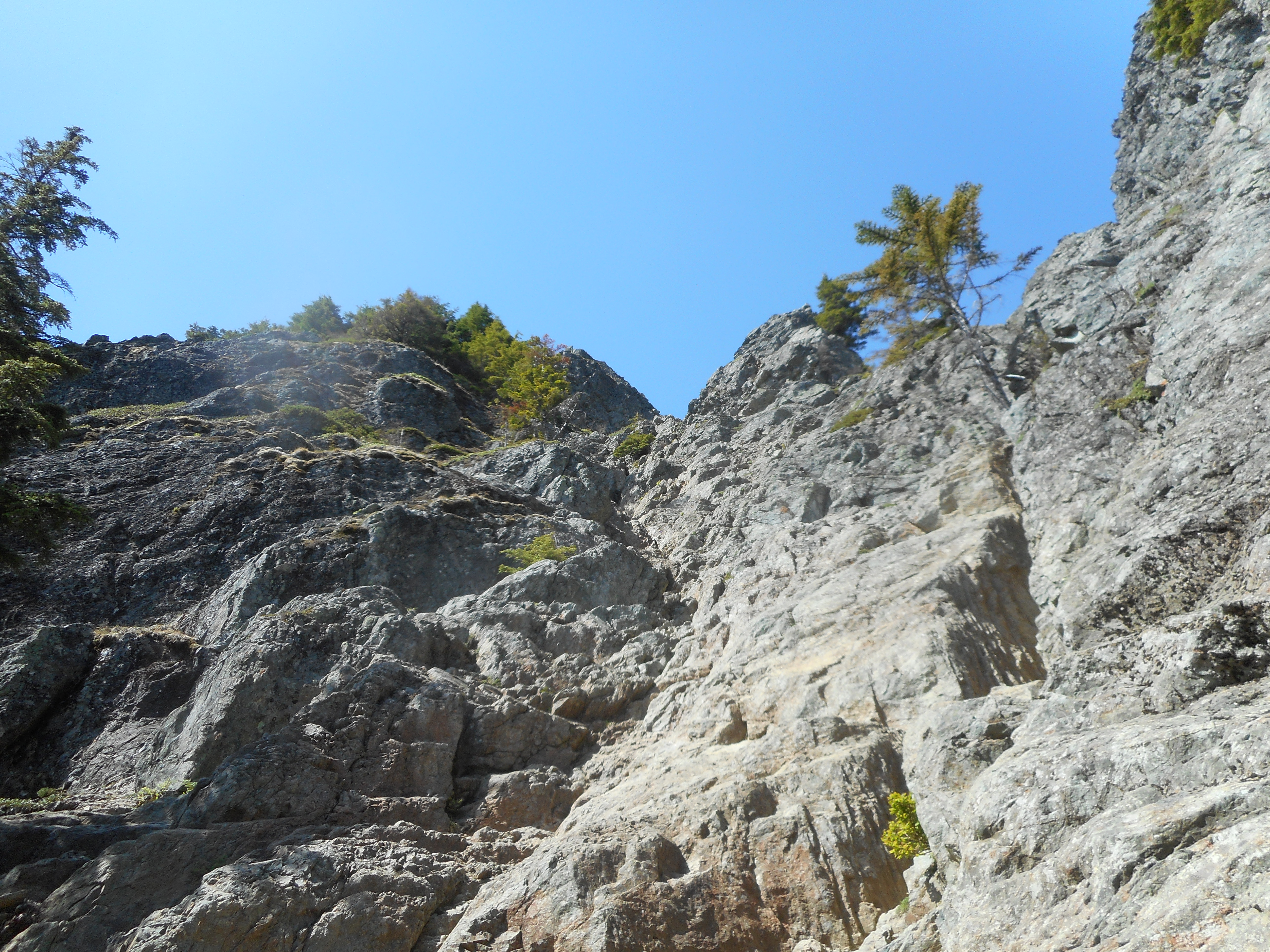
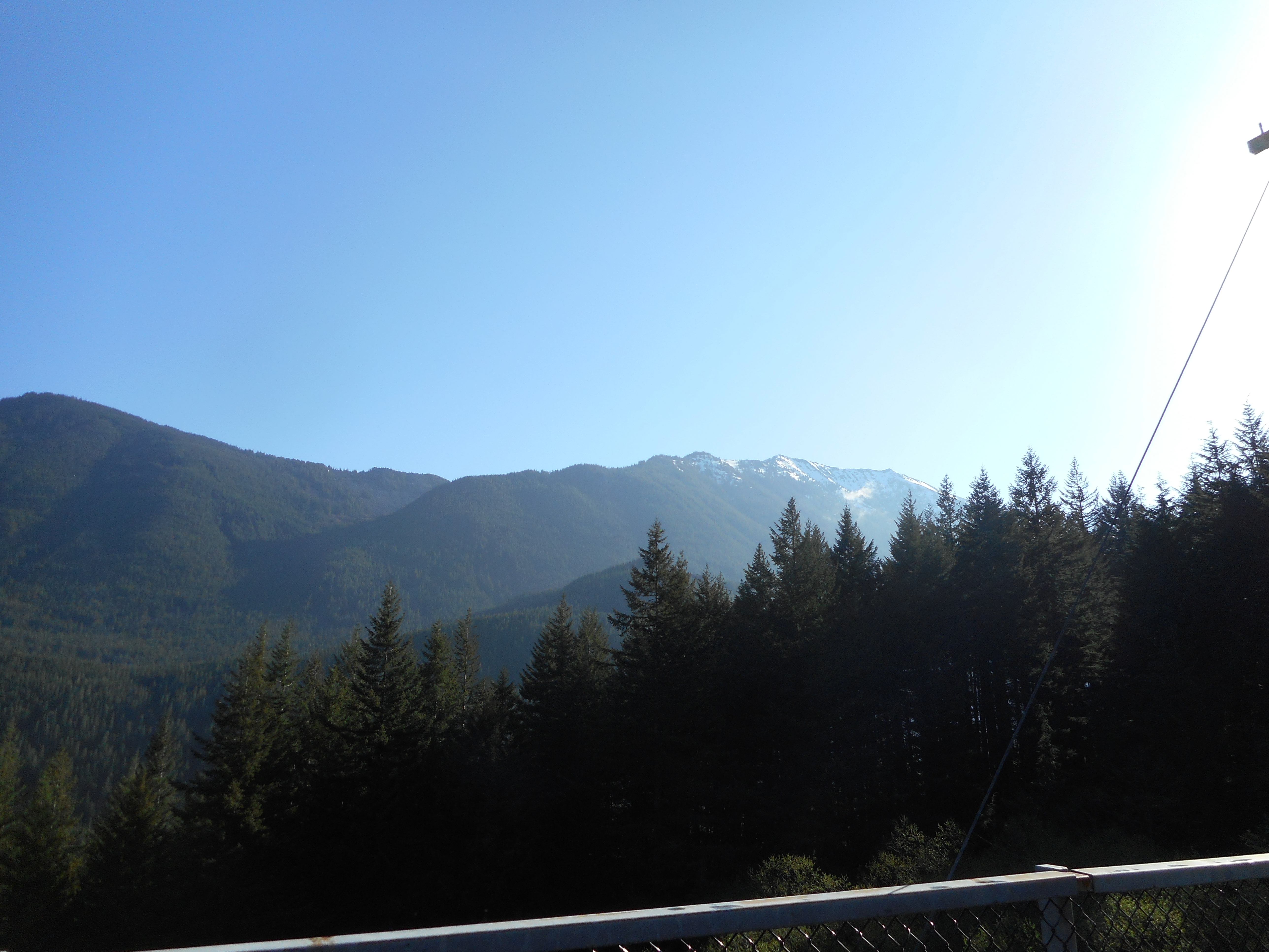
On Saturday, the 26th, I did a Tiger Mountain hike with Ken and Greg.  We did the standard route up the Section Line to Nook but then went up the very steep Section Line route to Tiger 3.  We didn’t go all the way to the summit, but went west on the Railroad Grade Trail until it met the Poo Poo Point trail, and we went back down that way.

About 7.75 miles and 2,300 feet of elevation gain.

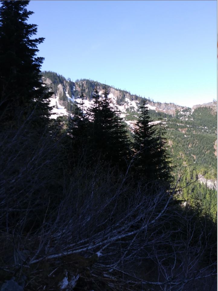
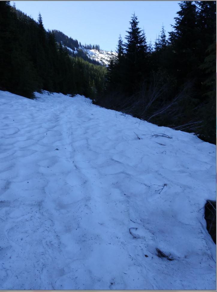
Yesterday, Derek and I planned a big hike on and near Mt. Washington but we didn’t get started until almost 6pm because Jill’s hair appointment took five hours!  I didn’t mind, I got to hang out with Camden (Fin got back from school about 3:30 and did homework, hung out with pals, etc.) and spend a little time with Finley.

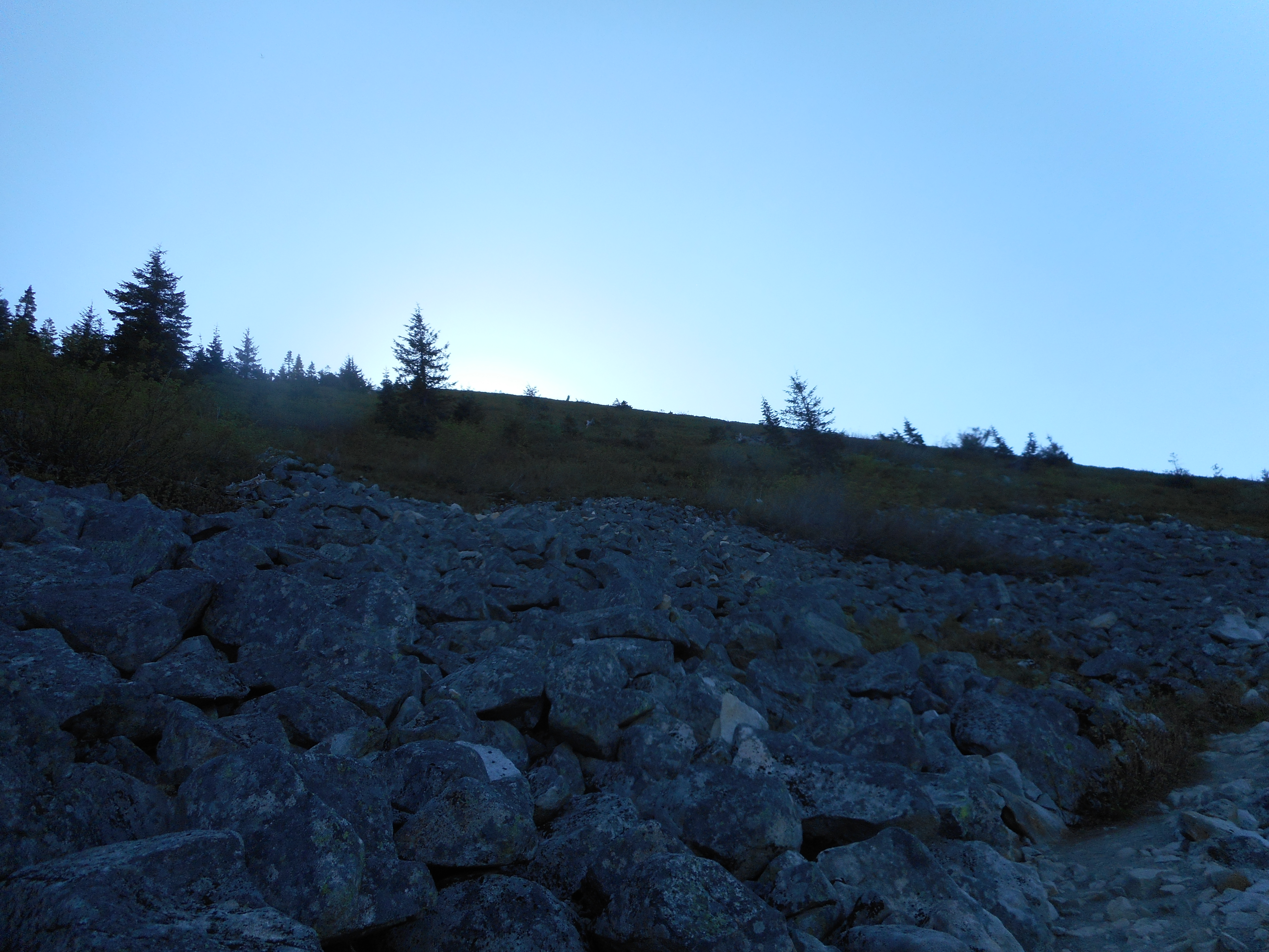
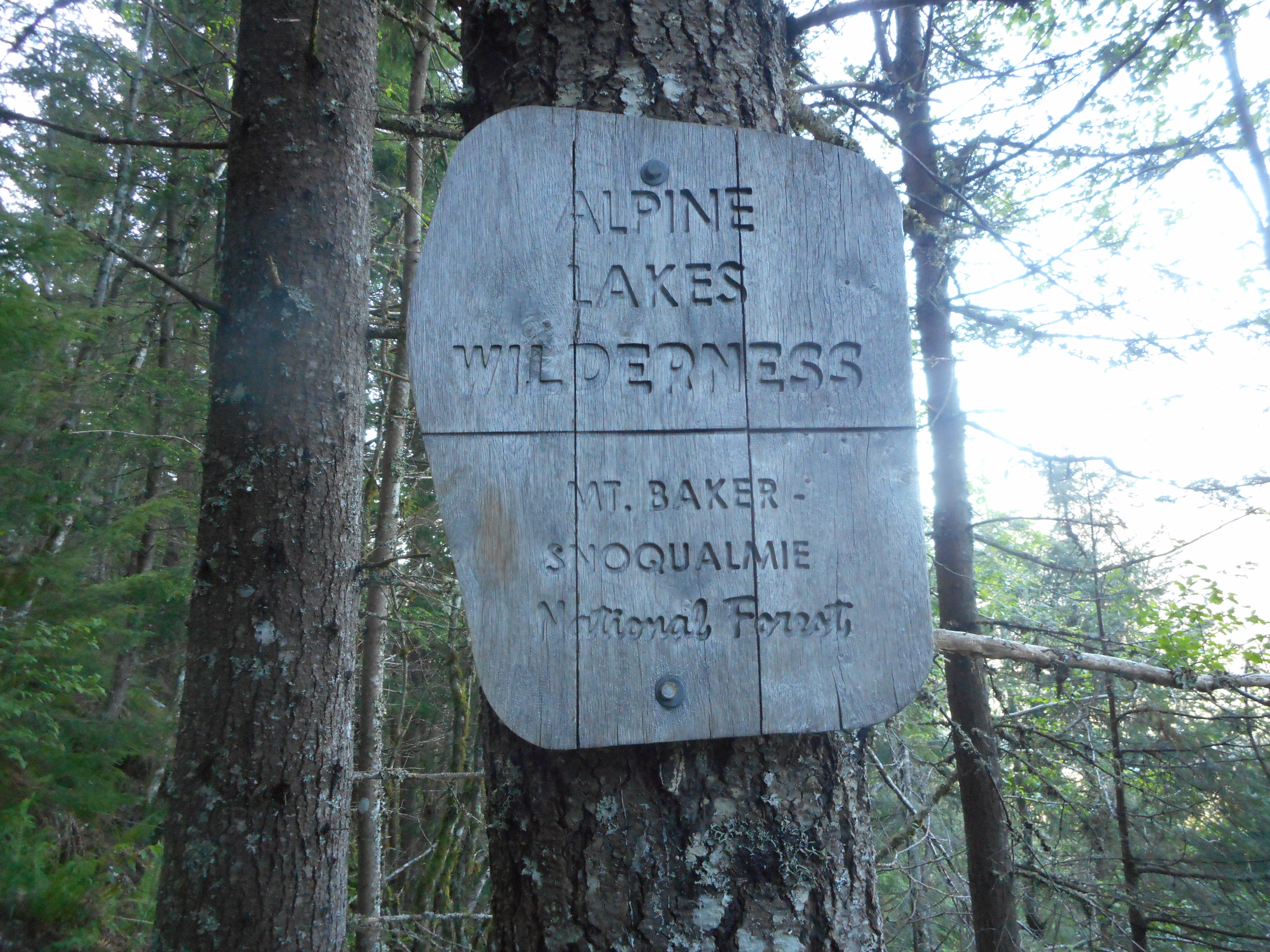
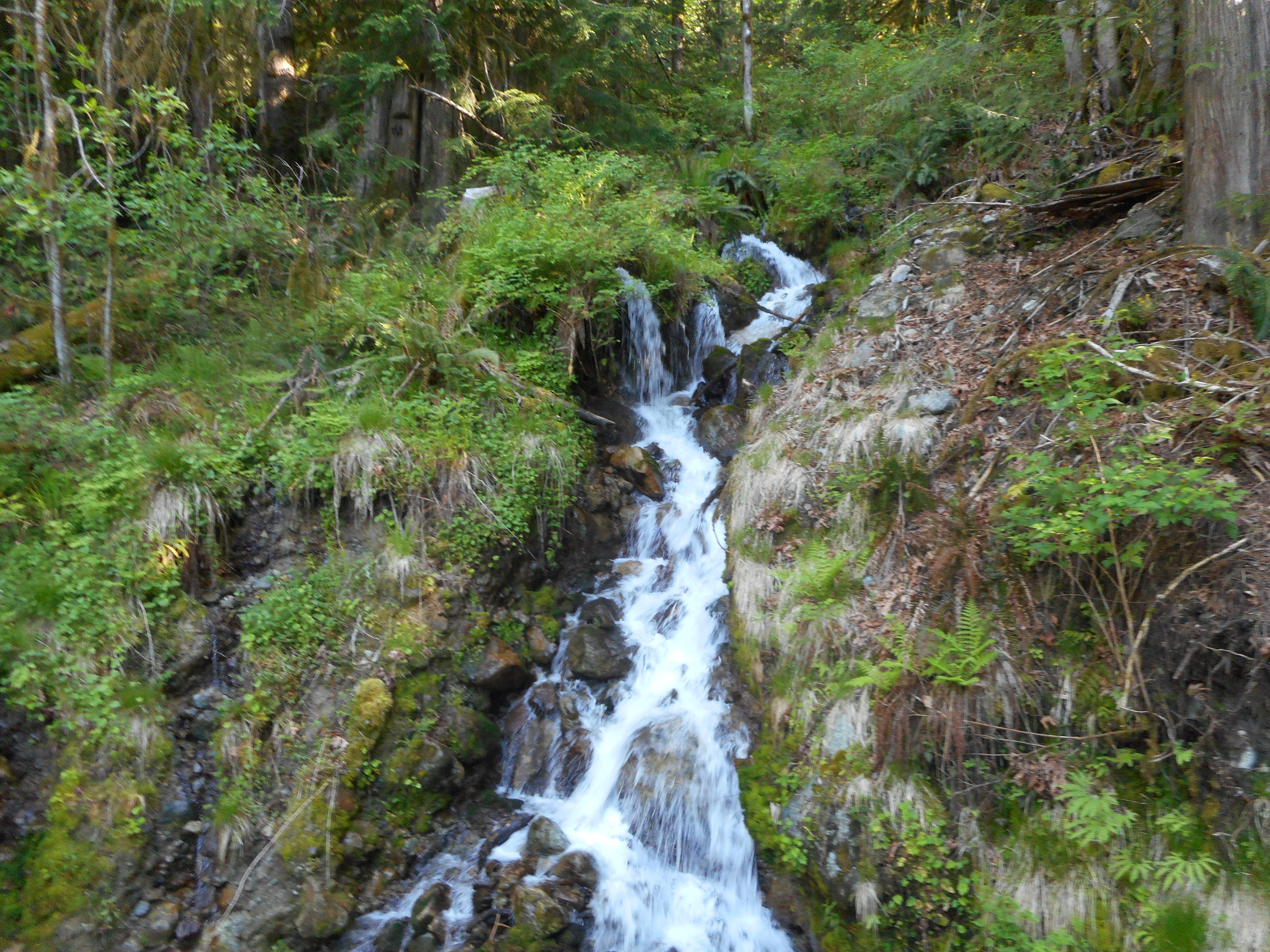
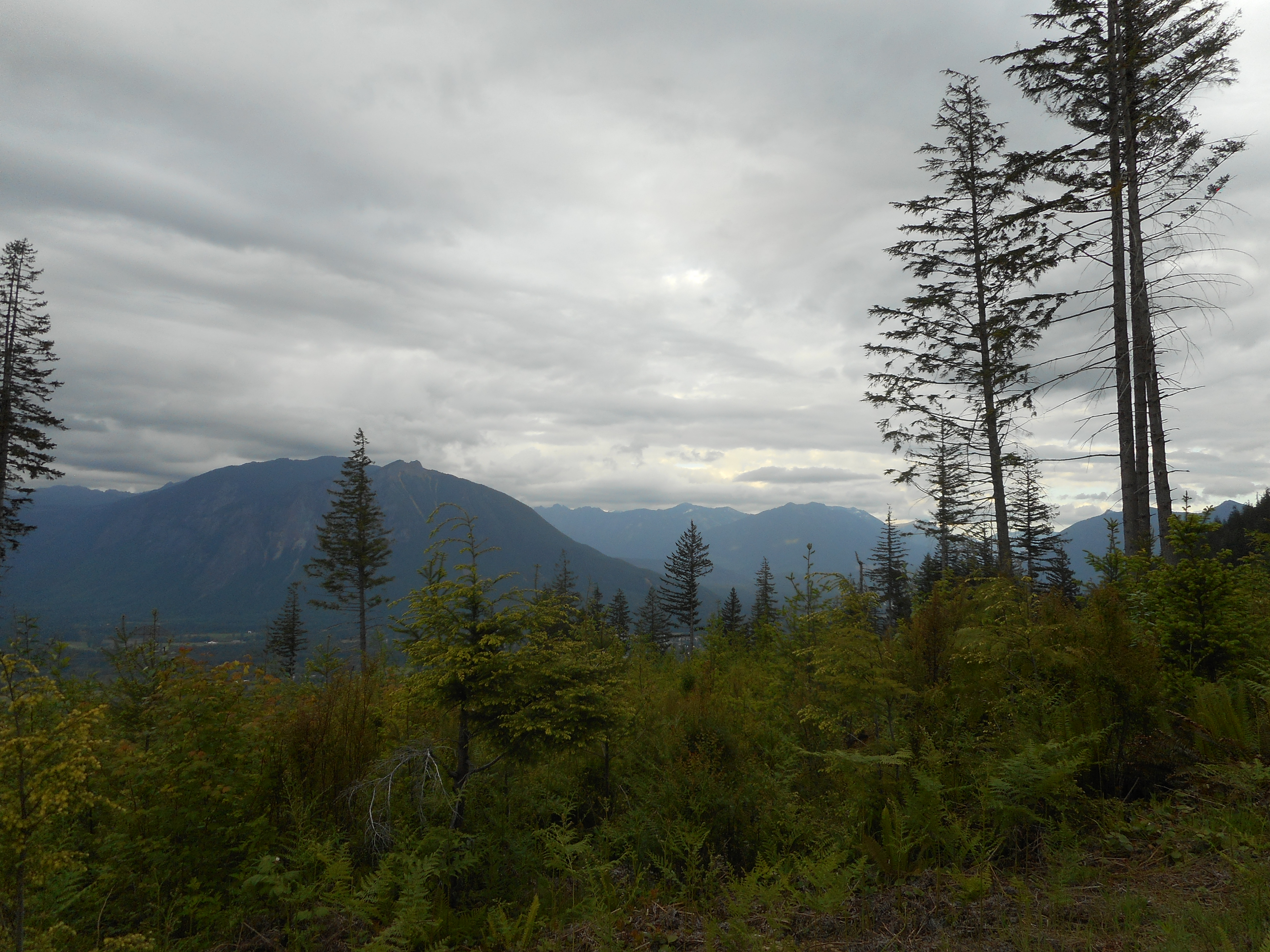
So we downsized our hiking plans and instead drove to the nearby Snoqualmie Point trail head and headed up.  We got about a mile past Stan’s Overlook, through the amazingly gorgeous forest above Stan’s (nice second growth, really special place to be) and turned around.  I was using my head lamp for the last twenty minutes or so, and it was raining pretty hard by that time as well.

Still, a fun day and a nice hike.

Mason Lake 5/24/2018

Mason Lake
Mason Lake

Really nice solo hike to Mason Lake today.  I hit the trail at 6:45 and saw no one all the way up.  The trail is in great shape until you get near Mason Lake when there is some mud and still a lot of snow.

The snow was easy to navigate when I got there but I suspect as the day goes on and it warms up you might start sinking into it.

Some company along the trail:

Cute Little Guy
Cute Little Guy

The name of this trail is the Ira Spring Trail.  Ira Spring was a big trail supporter around here and I knew there was a memorial to him somewhere but I never saw it until today:

Memorial Marker
Memorial Marker

Perfect weather, about 70 and sunny.  Compelling views.  I kept stopping to marvel at my surroundings.

Looking South from the Ridge

This hike is the mild one – if you want to work harder you can always go up to Bandera Mountain.  To get an idea of what this is like, here is what it looks like (in 2D anyway) looking up.  When you do Bandera you get up that high in about .7 mile.  Steep!

Looking up the Mountain

Finally, I love this sign, which is maybe a mile from the trail head:

Great Sign
Great Sign

I love this sign because it is a great reminder of where you are and what you are doing.  You are hiking up a steep mountain trail, through the wilderness, to visit an alpine lake.  How much fun is that?

Garmin’s web site is frizzled right now, I will post the track when it is fixed.

Poo Poo Point/Chirico Trail 5/22/2018

Rainier
Rainier

The plan today was to meet Ken at the Poo Poo Point parking lot but somehow we got our signals crossed and he didn’t make it.  So I went up the Chirico Trail solo, relatively early (about 7:30 am) on a Tuesday.  I mention this because this is one of the busiest trails in the area.

The parking lot is in Issaquah, so it is easy to get to; there are hang and para-gliders launching from the top (but none today while I was there) and that attracts people, since they are very cool to watch; and it is only about 4 miles round trip.  I believe people read that stat and decide it will be a nice easy walk.

It is a nice walk but it is not easy, since you gain about 1700 feet of elevation in less than two miles.  It is a steep one.

I passed two young hikers on the way up.  One of them was clearly quite overweight and out of shape and, as I passed, she said “I am getting my butt kicked.”

On the way down, not far from the top, there they were, they had not quit.  I encouraged them by telling them they were getting close and the overweight one just raised her fist.

Anyway, it was a beautiful day.

Squak Mountain
Squak Mountain
Issaquah and Bellevue

Nice!  I am thinking of doing Mason Lake on Thursday, the latest trip reports suggest it has melted out and you can now make it all the way to the lake fairly safely.

Mount Si via Teneriffe Trail 5/15/2018

View from the Top
View from the Top

Carl and I did a really nice hike today – 10.5 miles (which includes a half mile where, about 1/4 mile up the trail, I remembered that I had not put my Discover Pass up and we had to backtrack – $99 fine without it).  The track is below but verbally we:

  1. Parked at the new Teneriffe parking lot.
  2. Took the .5 mile connector trail to the Teneriffe Trail.
  3. Went up (and I do mean up) the Teneriffe Trail 4.5 miles to the upper Mt. Si connector trail.
  4. Took that trail .8 mile to the Haystack, which is at the summit of Mount Si.
  5. Hiked across the boulders at the base of the summit to the Mt. Si trail.
  6. Went down the Mt. Si trail to the Talus Rock Loop Trail.
  7. Took the exit along the loop trail back to Teneriffe.
  8. And then back down to the car.

Plenty of beautiful nature to enjoy along the way.

Along the Trail
Along the Trail

An awesome view south at about 3.4 miles:

Rattlesnake Lake Looking Small

Rattlesnake Lake is that tiny sliver of blue about in the middle of the picture.

The Haystack is a popular rock to climb.  But it isn’t for me.

The Haystack
The Haystack
Scrambling Route
Scrambling Route

Finally, on the way down we chatted with a hiker going up.  We were asking him about the Talus Rocks Loop and he showed us a photo of the sign.  It was most helpful.  He asked us to post a picture of the sign to get back to Teneriffe Trail from Talus Loop because he had never taken a picture of it.  I will post it also on the WTA web site and cross-reference to this blog post.

Sign Pointing Back to Teneriffe Trail

A wonderful day but my legs are a bit beat right now after 10.4 miles and 3,600 feet of elevation gain.

The track:

https://adventures.garmin.com/en-US/by/djhiker/mt-si-via-teneriffe-5-15-2018#.Wvtg1H8h2po


NF110 5/14/2018

Still Snow Up There
Still Snow Up There

My plan today was to hit the McClellan Butte trail via the service roads – NF9020/NF9021/NF110 and NF210.  Unfortunately, the NF210 route seems to be completely extinct.  I would have had to route-find in the woods for .6 mile, hoping to intersect the trail – so I decided to save that for an outing with Derek.

I decided to see how far I could get on NF110 and where I got was to 3,400 feet where the snow was deep and continuous:

Turnaround
Turnaround

Not far from there I found evidence of a really big bear:

Whoa!  Big Bear!
Whoa! Big Bear!

Just yesterday, Derek and I were going through some of his photos from our trip last June up NF110 to Truck Summit from the east.  We commented on the two jagged, rocky prominences with what appeared to be a way to approach.  And we were right, we aimed for the two rocks and were able to bushwhack up the ridge.

Not surprisingly, they are still there:

Navigation Guide
Navigation Guide

The track:

https://adventures.garmin.com/en-US/by/djhiker/nf110-5-14-2018#.WvoSLn8h2po

Going out tomorrow with Carl, who is freshly back from Italy.

McClellan Butte Trail/Mine Creek Bridge 5/2/2018

Mine Creek Bridge
Mine Creek Bridge

I intended to check out the McClellan Butte trail today, including whether or not the parking lot is accessible now (it is) but I wound up taking the trail only to the service road (NF9020); I went down (west) on the road to check it out.  I plan to use that to drive up to the trail when next I want to do McClellan Butte.  Happily, the route is clear, no blowdowns or terrible pot holes.

I did, however, run across a spot where people have been dumping huge piles of garbage, including old tires.  And used diapers.  Gross.  This is on top of the endless shotgun shells and blown-apart targets.

I took the service road down to the Garcia/IHT intersection and then went west to the Mine Creek Bridge, one of my favorite bridges in the area.

Looking South
Looking South

Clearly, there is still a lot of snow up there, may be a few weeks before I am back exploring the area just north of the Watershed boundary.  And the mountains to the north are snowy as well:

Looking North
Looking North

Not very steep today, a bit less than 1K elevation gain, but 7.7 miles on a beautiful day.  I don’t need to huff and puff every time, being in the woods and on the mountains is a charge.

Here is the track:

https://adventures.garmin.com/en-US/by/djhiker/mcclellan-butte-trail-mine-creek-05-02-2018#.WuosK38h2po