Christmas Lake/PTC 7/30/2022

Christmas Lake

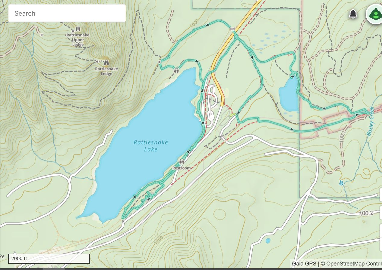
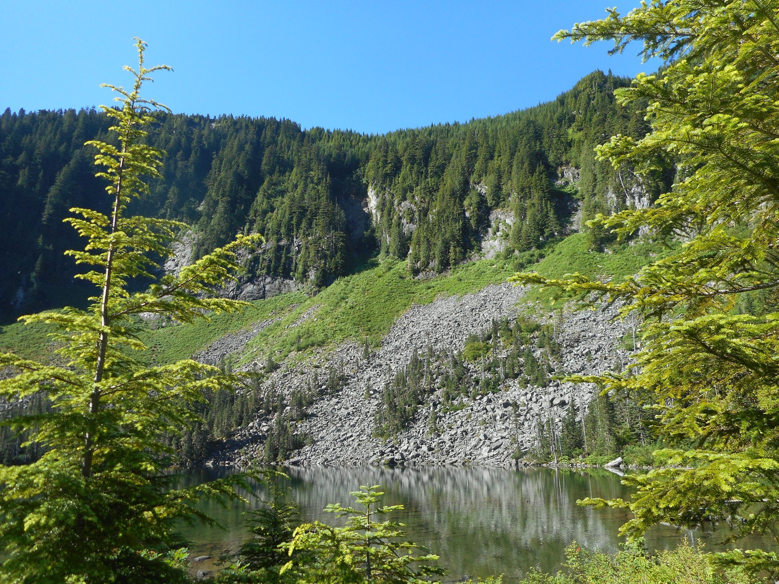
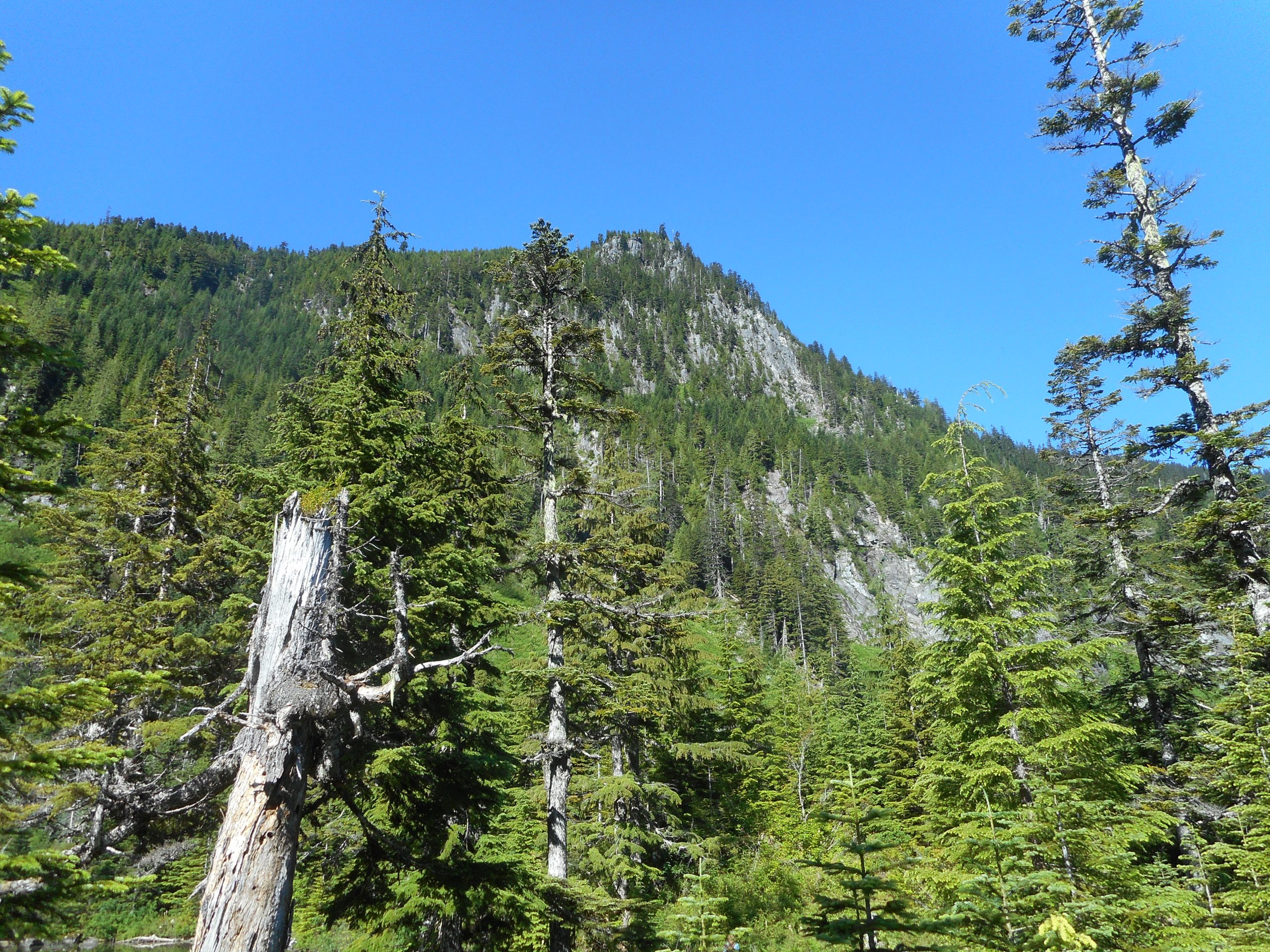
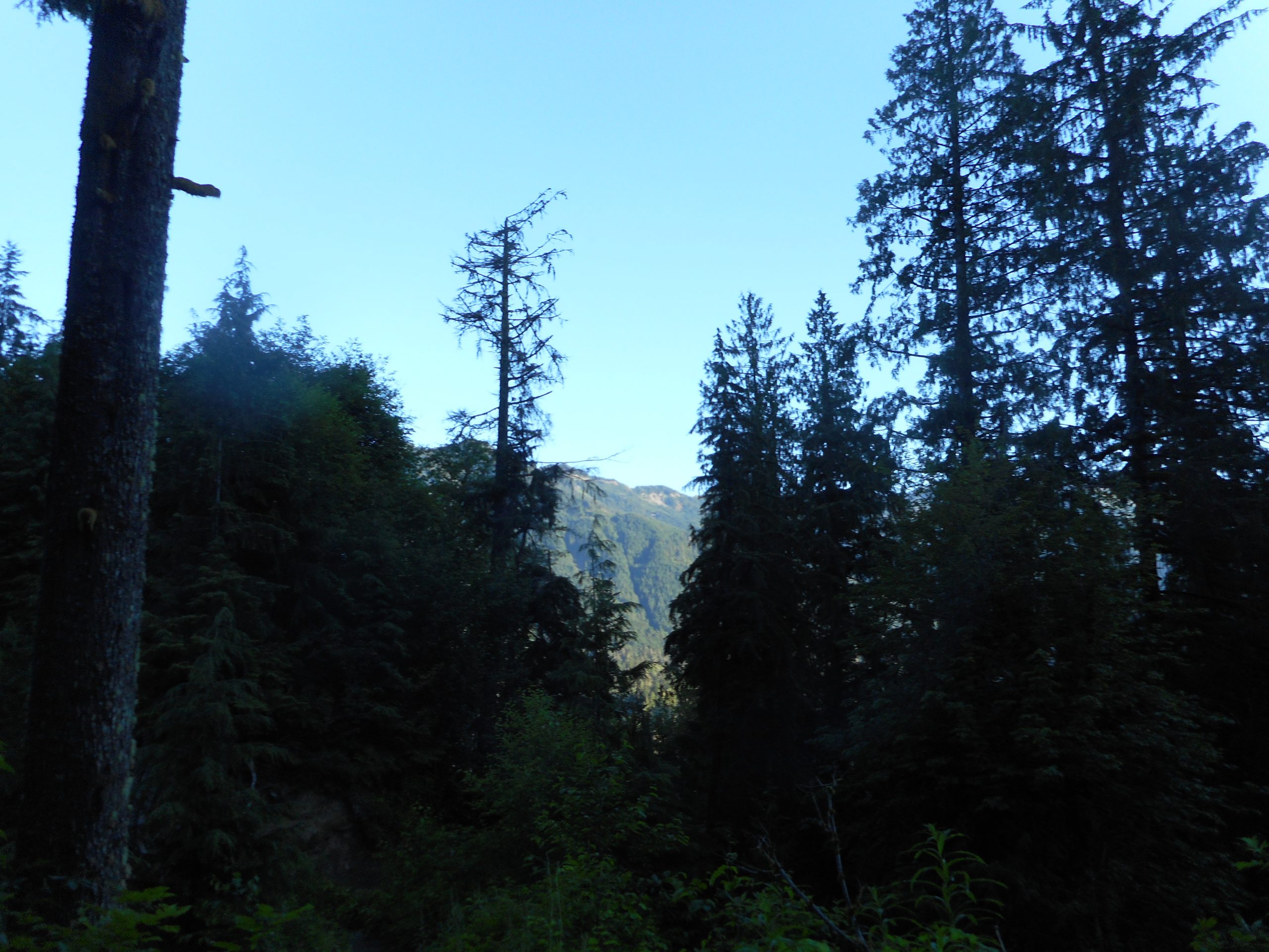
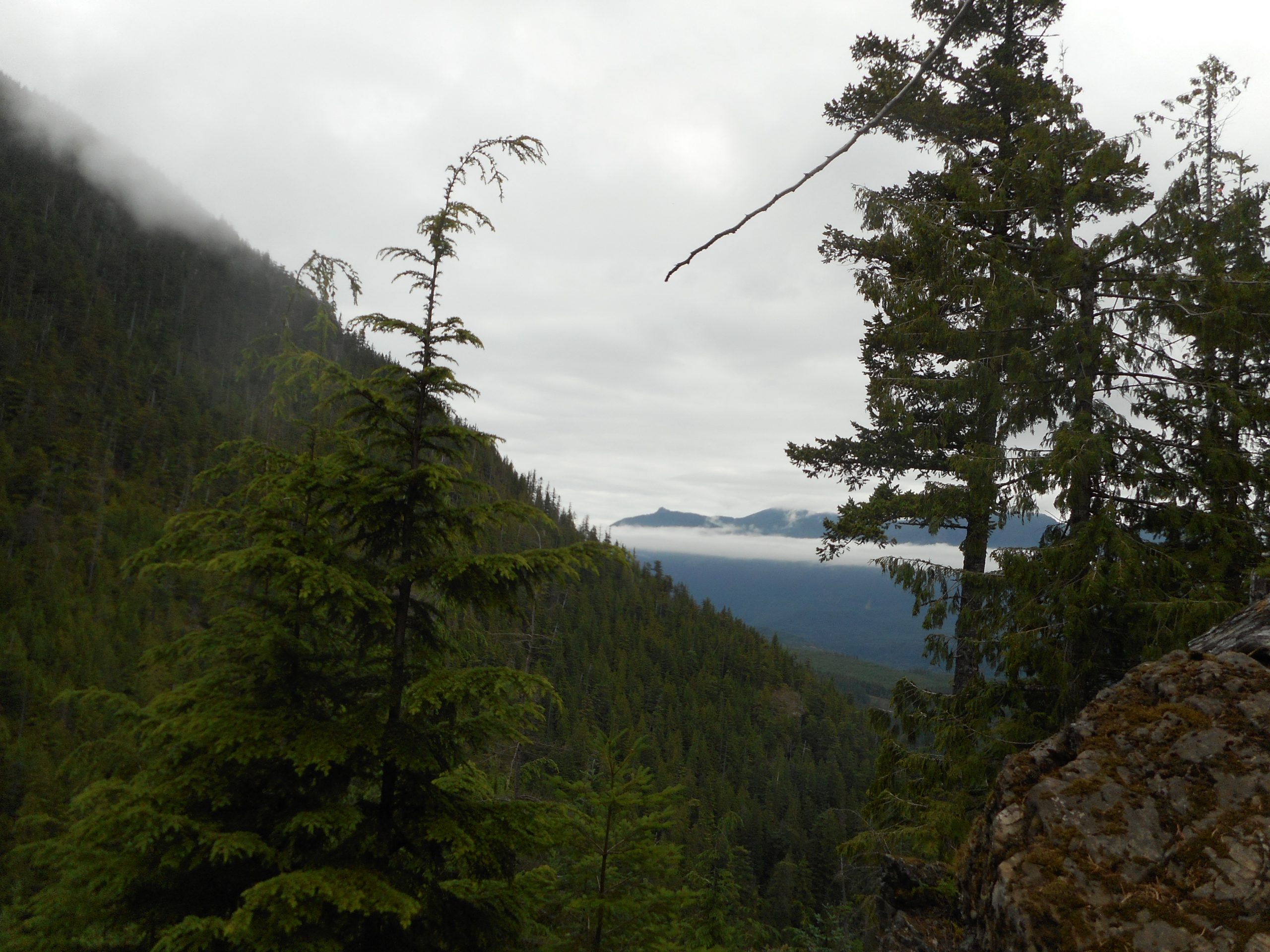
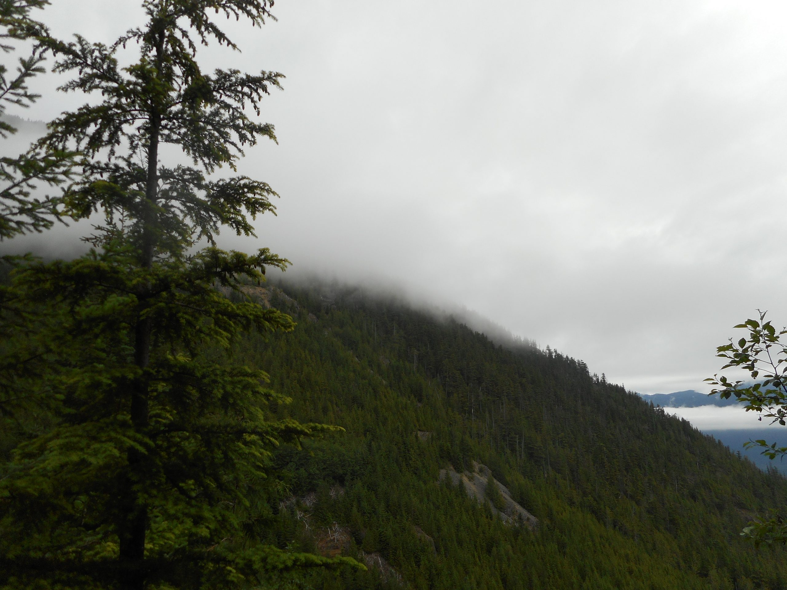
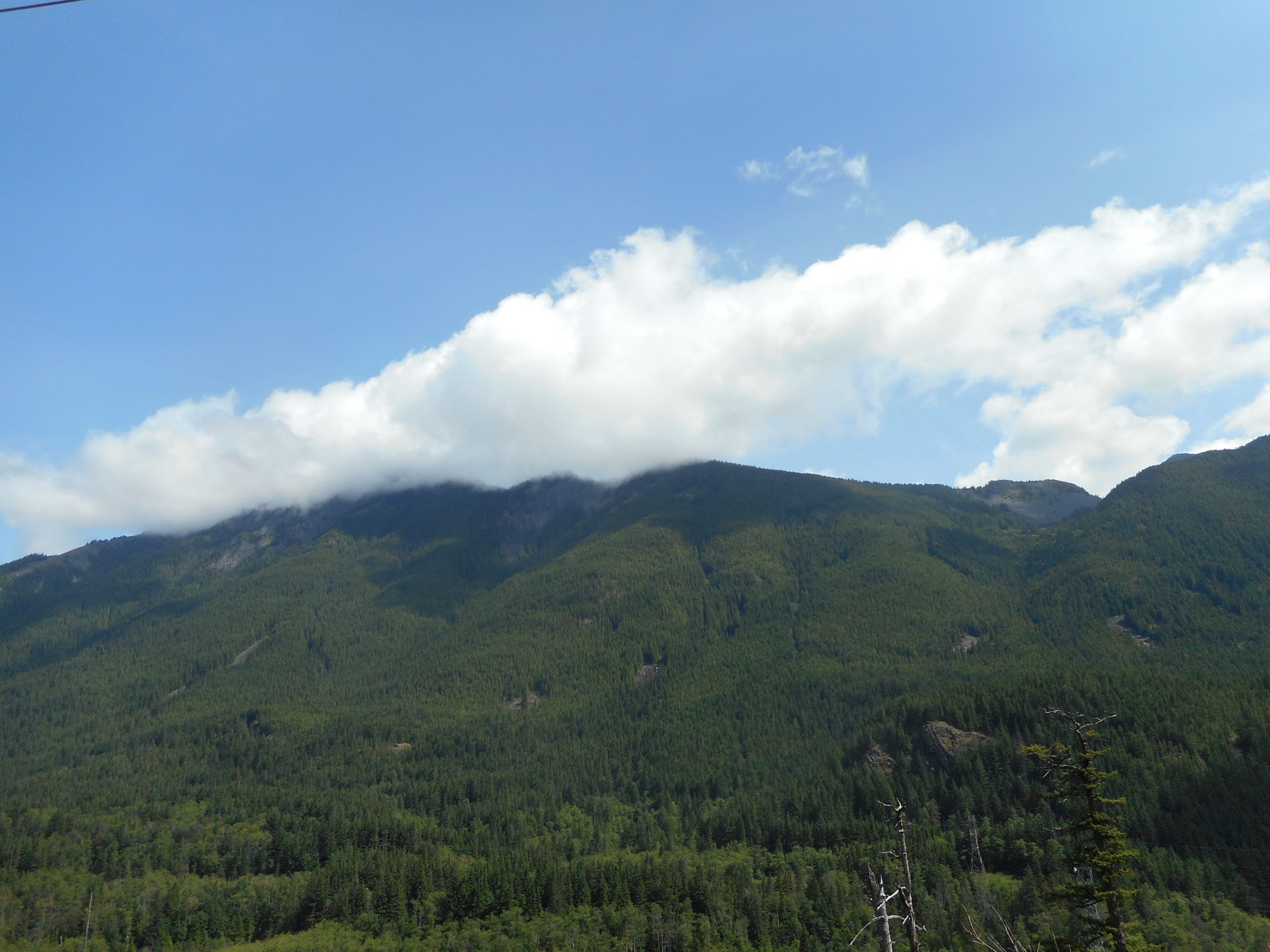
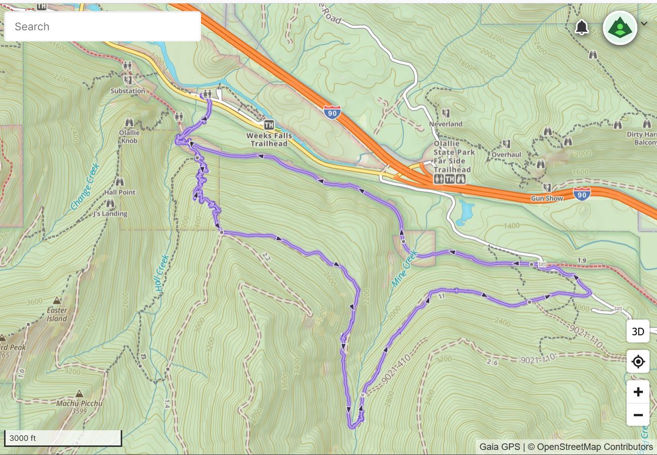
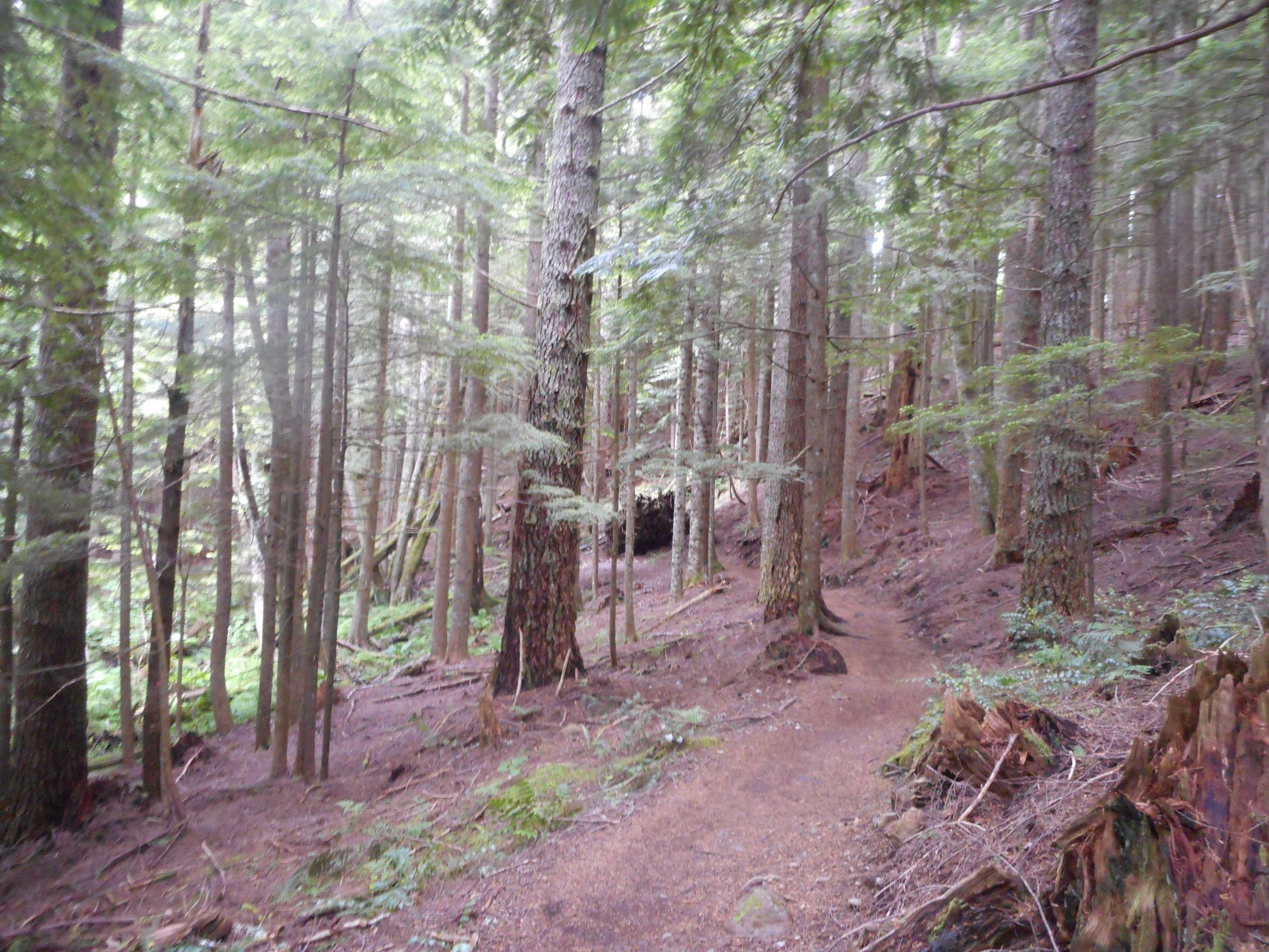
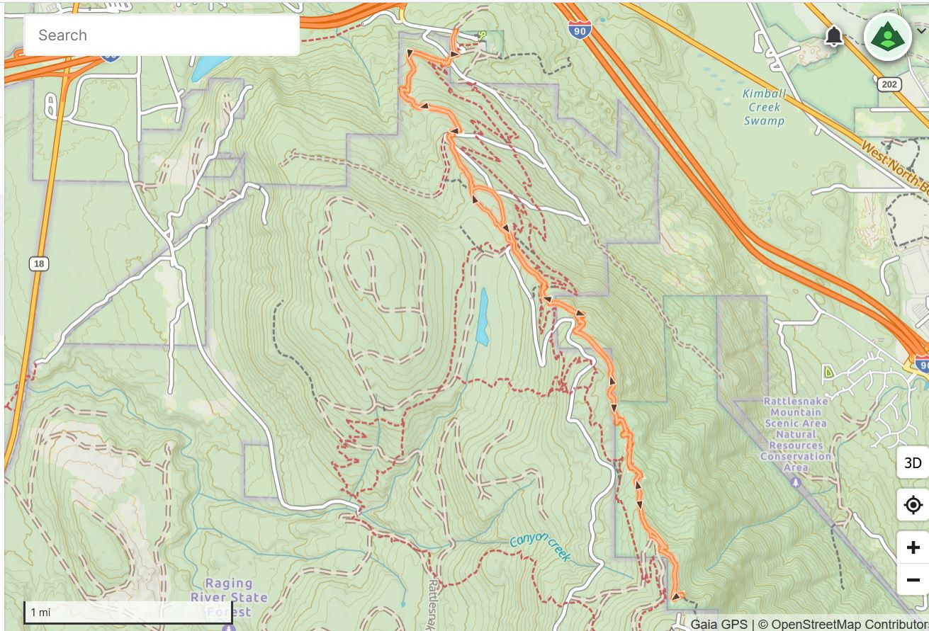
I wound up doing 5 miles today in the vicinity of Rattlesnake Lake. My plan was to do Olallie Trail and I left the car to go up the trail at just before 6am. Pretty early. Plenty of parking.

But I only went about a mile on the PTC when I started to sweat. It was already approaching 75 degrees and we have had several days in the 90’s lately. I did not want to get dehydrated, and risk more muscle spasms, so I re-routed.

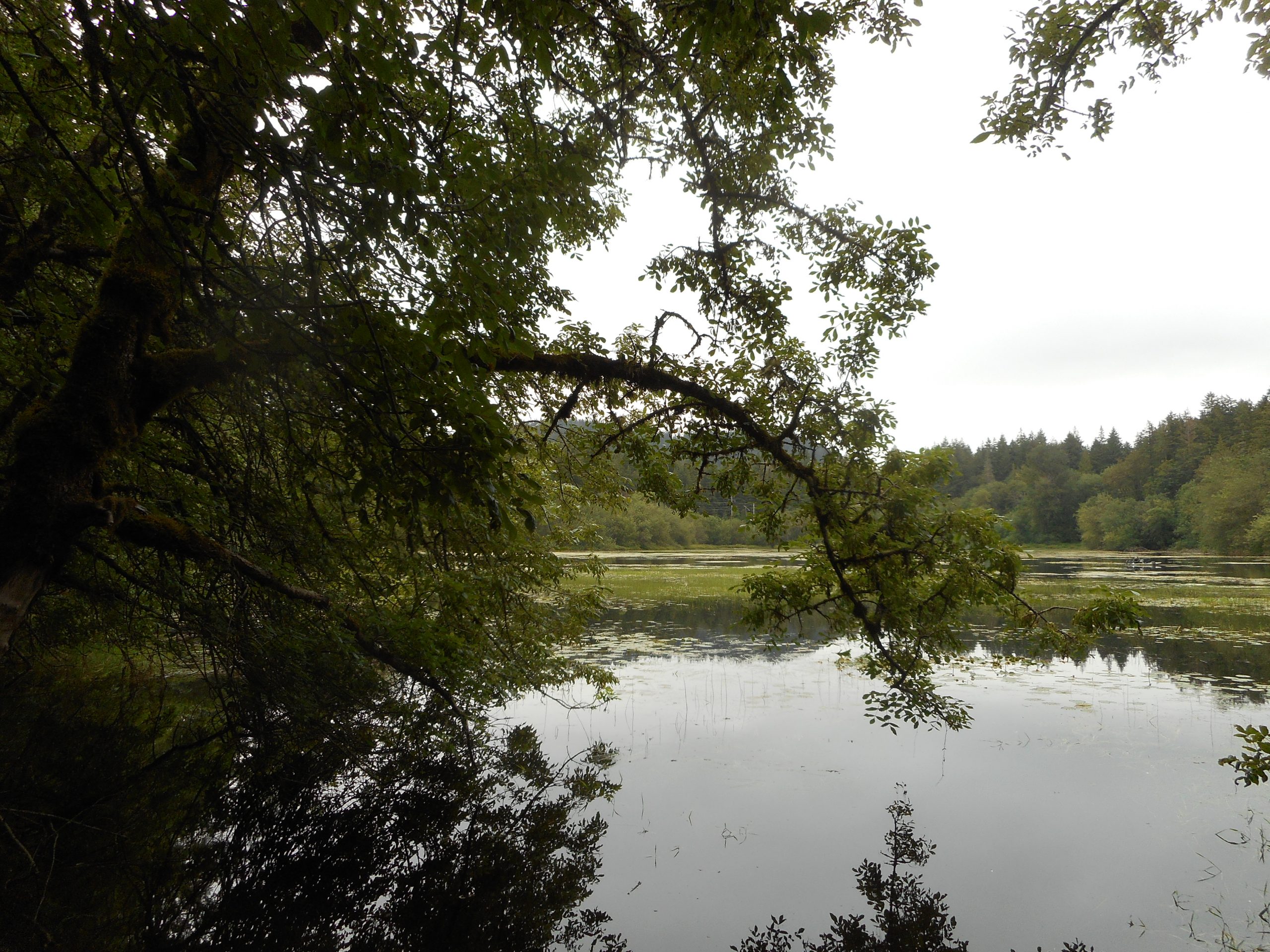
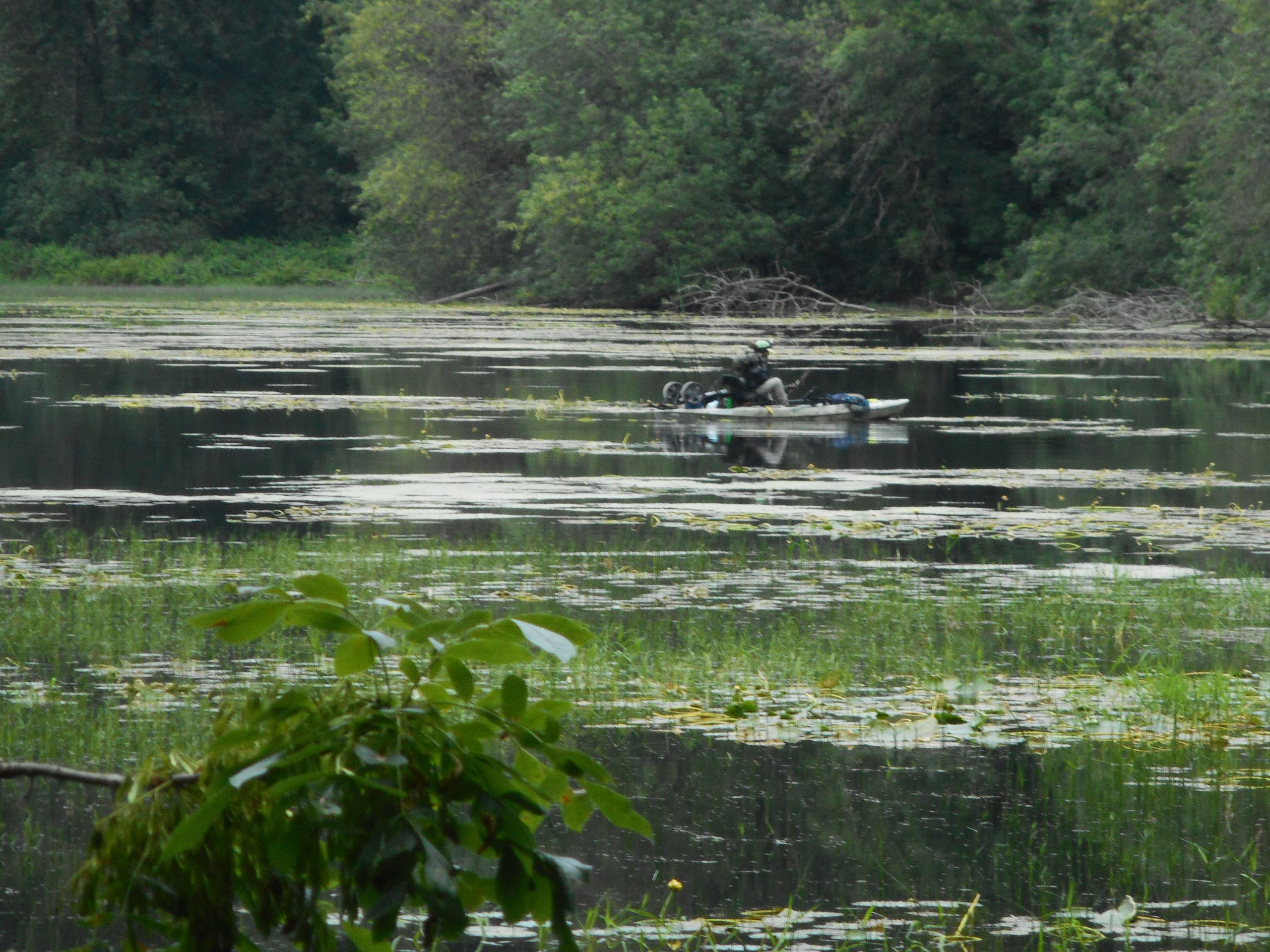
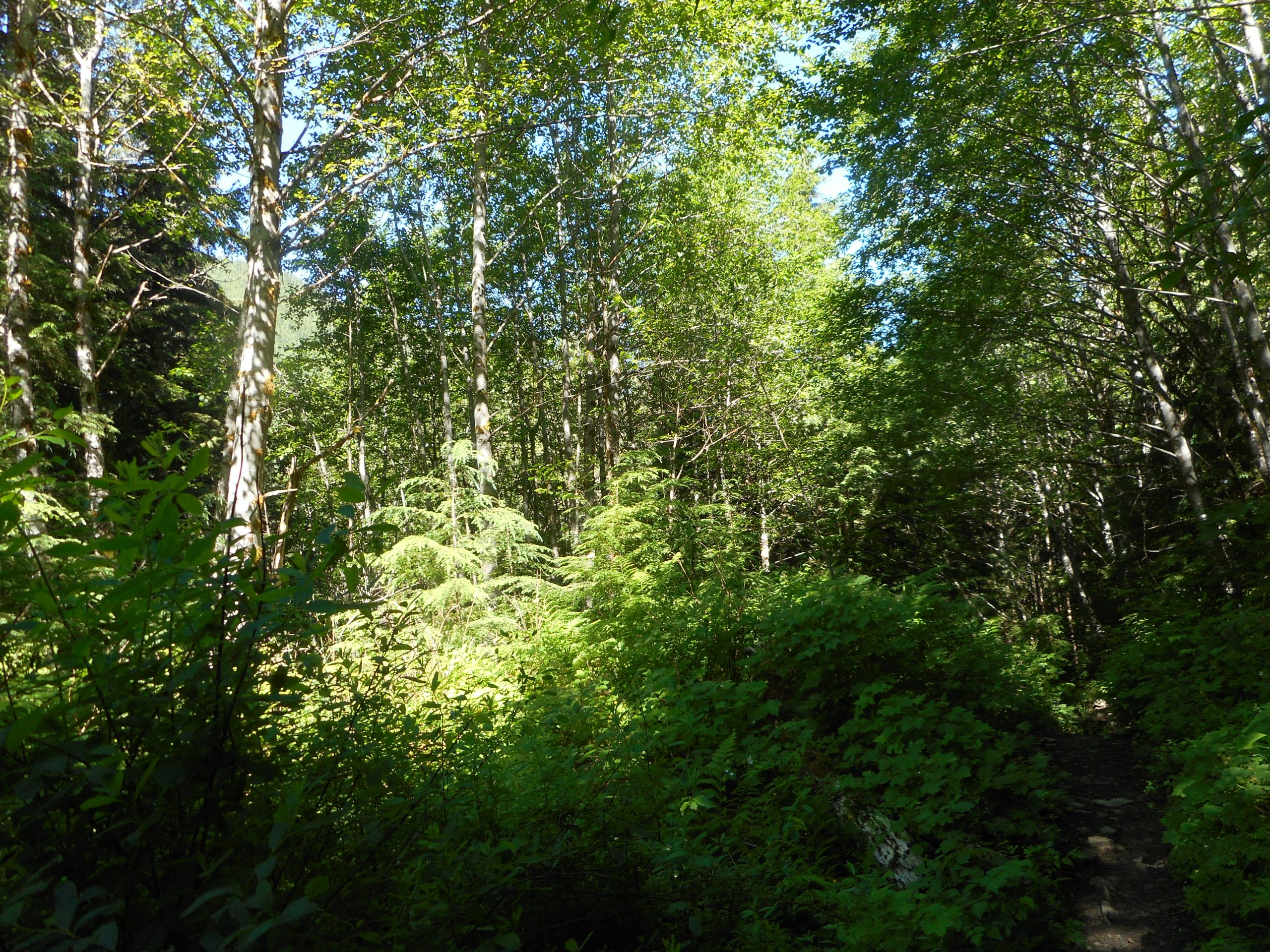
I went down the Christmas Lake Trail, to the Rattlesnake Ledge trail via the back door, took that to the beginning then went to the Education Center, and back. By the time I got back to where I parked the area was mobbed and it took me a little while just to escape.

On the way back, via 203 and 202, I stopped in Duvall for a coffee. I took it to a picnic bench near the Snoqualmie River, sipped my coffee and left. I had put my phone in my side pocket when I left to get the coffee, and I stupidly did not zip the pocket. I figured I would get the coffee and go right back to the car.

I enjoyed the coffee and the view and walked back to the car. I was in Woodinville, having traveled perhaps a dozen miles when I felt my pocket for my phone. Empty! I pulled into a parking lot, searched the car – still no phone.

It is easy to imagine that I was close to panicking. To lose a phone these days is serious business. I figured my only chance was to turn around and drive back to Duvall and check where I had been, starting with the bench on which I had been sitting.

It was a long drive back, I was so impatient. I was also thinking I was wasting time, I am an idiot twice over. Once for losing the phone, twice for going all the way back on that winding road to check for it. But I kept going.

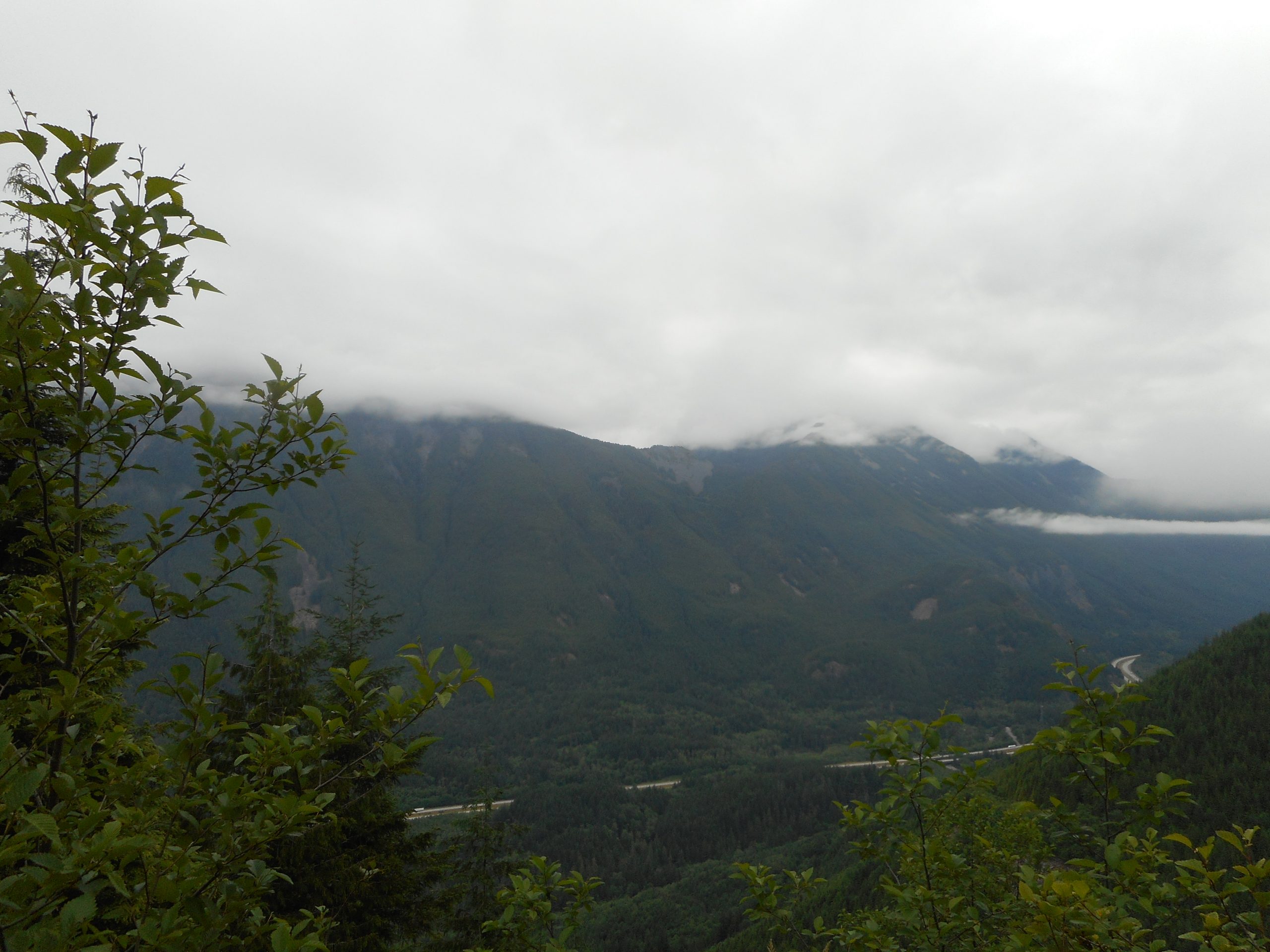
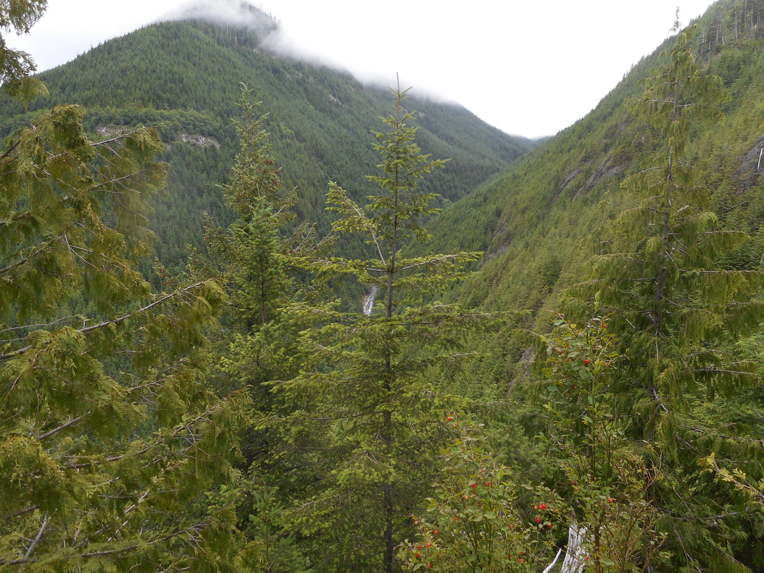
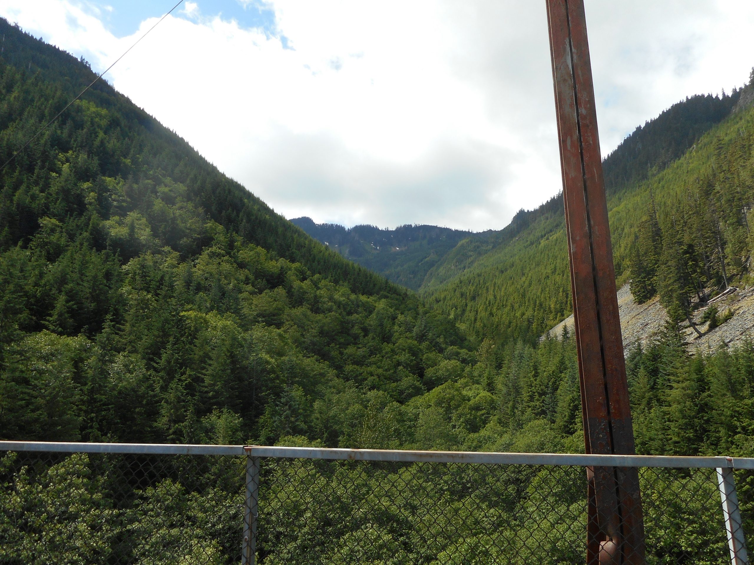
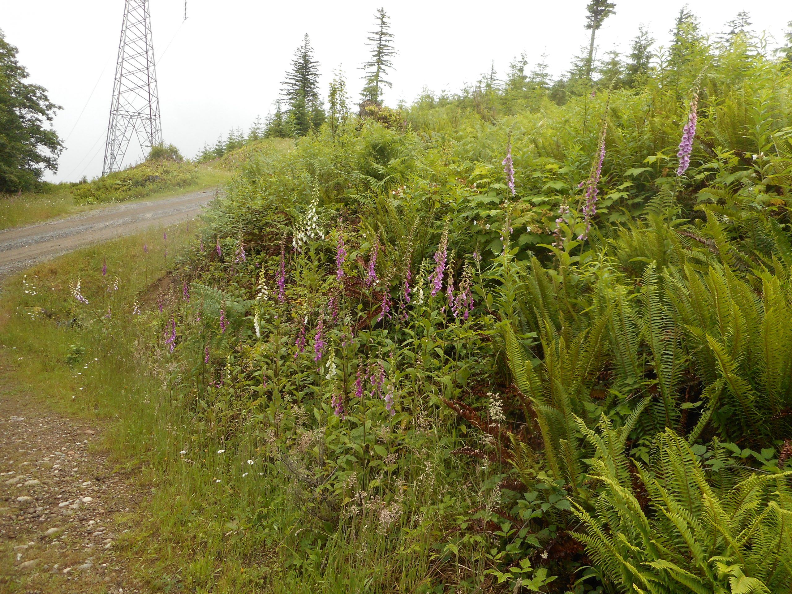
I pulled into Duvall, found a place to park (quite fortunately) and made a bee-line to where I had been sitting. There were a number people in the area and I was prepared to offer a small reward to anyone who had found my phone. But miracle of miracles, the phone was lying there, in the dust, right where I had been sitting. And the photo at the top of this post is proof, as I had forgotten my camera and snapped one shot with my phone.

All is well that ends well but I am looking forward to some slightly cooler weather.
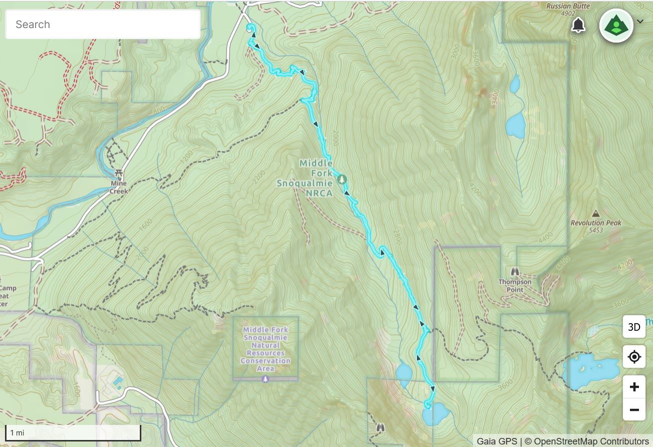
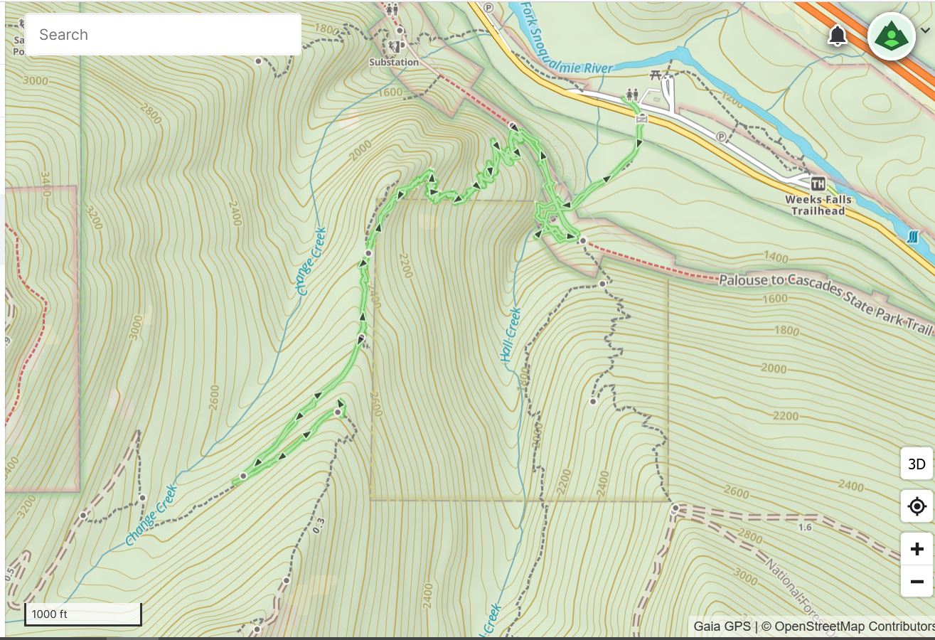
Track below.

Track

Lower Crystal Lake 7/26/2022

Mount Rainier

I drove down to Mount Rainier National Park today and hiked to Lower Crystal Lake. I was planning to do Crystal Peak but, even though I started up the trail just after 6am, I was already sweating heavily by the time I got to the junction with the Crystal Peak Trail. (the Lakes and Peak trails are the same trail until the junction, about 1.3 miles). I was in the forest until then but the Peak Trail has long exposed stretches so I thought it might be smart to come back when it is a bit cooler to hit the peak.

Lower Crystal Lake is nice; the upper lake is much nicer, as it is larger and is ringed with mountains but I did not trudge up that far. It was getting steamy.

Lower Crystal Lake

Just about 5.5 miles, fairly steep so it was a good workout. A long (90 miles one-way) trek but worth it, even with the construction I encountered on the way back.

Track below.

Track

Section Line 7/23/2022

Tradition Lake

I can’t say I am ever disappointed when I hike but today came close.

Yesterday I started early to hike Crystal Peak – my favorite hike, down by Mount Rainier – but about 30 miles short of the trail head it started to rain. It was pouring. This is in spite of the fact that the forecast called for no rain and we have had a nice sunny July streak. So I turned around and drove home. Today I settled for my standard Tiger Mountain conditioning hike.

The only unusual thing was the fact that I saw a fisherman on Tradition Lake – I didn’t know it was allowed:

Fishing on Tradition Lake

Anyway, I am going to try again for Crystal Peak on Monday.

Granite Lakes 7/19/2022

Upper Granite Lake

Today I hiked up to Granite Lakes. This is a nice hike, a bit under 9 miles, about 2,400 feet of elevation gain. I saw only two people on the way up, perhaps a half dozen on the way down.

The lakes look up to several peaks, including Dirty Harry’s Peak:

Dirty Harry’s Peak

There are a couple of view points looking north on the way up. Here is Russian Butte:

Russian Butte

Sometimes the sun and the forest come together to create a magical experience. The camera does not do it justice but every moment like this is special:

Sunny Forest

Track below.

Track

J’s Landing 7/17/2022

Cloudy View from J’s Landing

I hiked the Change Creek Trail to J’s Landing today, 4.29 miles, but the Change Creek Trail up to Hall Point is super-steep (about 1,350 feet in a mile) so it is a great workout.

It was cloudy and slightly cool, perfect weather for a steep hike. Not much sweating on the way up.

I do always like to see the little Hall Creek waterfall, way back in the Watershed:

Fall Looks Small from Here

There is a nice view north towards Mt. Si:

Mount Si

And on the way down I stopped to groove on being in the back country, staring up at Change Peak. Alone, quiet, the horrible troubles of the world on hold for me:

Change Peak

A fun outing, and I will be getting out 3 times a week through the summer (barring injury).

Track below:

Track

Zig Zag Trail 7/10/2022

Cloud-Capped Mountains

I did a nice workout today. I went up the ultra-steep Zig Zag Trail, and then down the NF9021 service road to the PTC trail, and back that way. About 7.5 miles.

Zig Zag gains about 1,300 feet in one mile, and that kind of grade definitely gets my attention.

It was a beautiful sunny day, summer in the PNW. Mid-70’s, plenty of sun.

I saw no one on the Zig Zag and no one on the service road until I had to step aside for a couple of vehicles chugging upward.

On the way back I stopped at the Mine Creek Trestle and looked south to see Chester Peak, still with a few patches of snow:

Chester Peak

Track below.

Track

Grand Prospect 7/7/2022

The Forest

I hope I am through with my parsimonious ways. I did Grand Prospect today and, as always (see above) I just love the forest above Stan’s Overlook. It made me realize how much I crave the mountains and the forest.

But no grand views at Grand Prospect. Elevation there is only 3,100 feet but the clouds were so low that it was like being in a fog. I did get to see some nice wildflowers:

Flowers

8 miles, 2K elevation gain, a very nice way to spend a Thursday.

Track below.

Track

Section Line 7/1/2022

Talus Rocks Trail

I did a Tiger Mountain conditioning hike yesterday, but a bit longer than usual.

Up the Tradition Plateau trail to Adventure/Section Line/Talus Rocks/West Tiger 3 to RR Grade Trail, to Section Line and down Section Line to the Bonneville Power Trail, to Wetlands, and back via Tradition Plateau Trail. 7.8 miles altogether.

A beautiful early summer day in the PNW.

Track below.

Track