Last Hike of 2016 – 12/31/2016

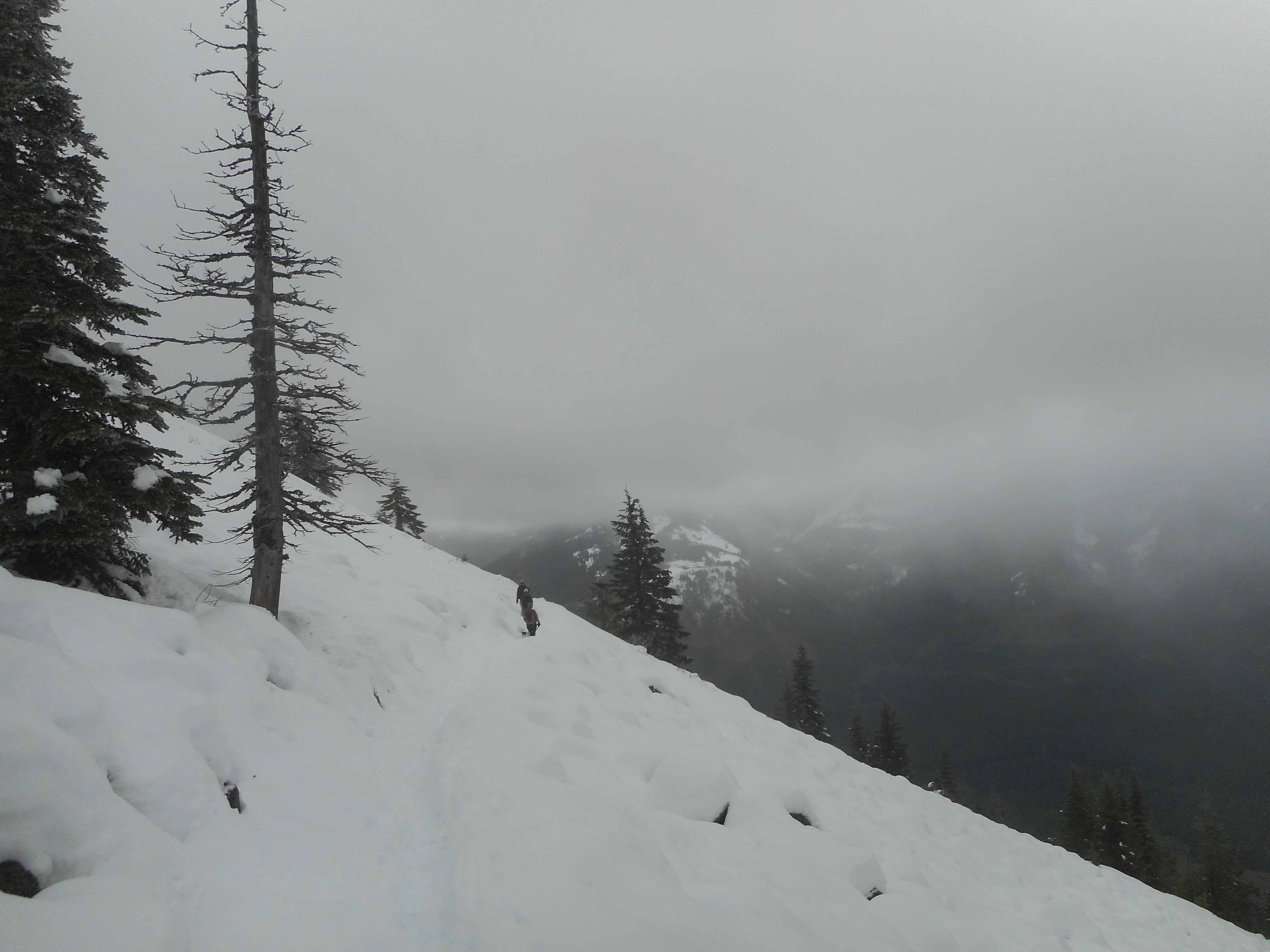
I didn’t take the camera today, just the Garmin.  I did not join the group today, as they were planning a hike that would have been too long for me today – family considerations – so I just did a little jaunt up Rattlesnake Mountain from Exit 27 side today.

It was 5.8 miles, 2 3/4 hours, a fun little hike.

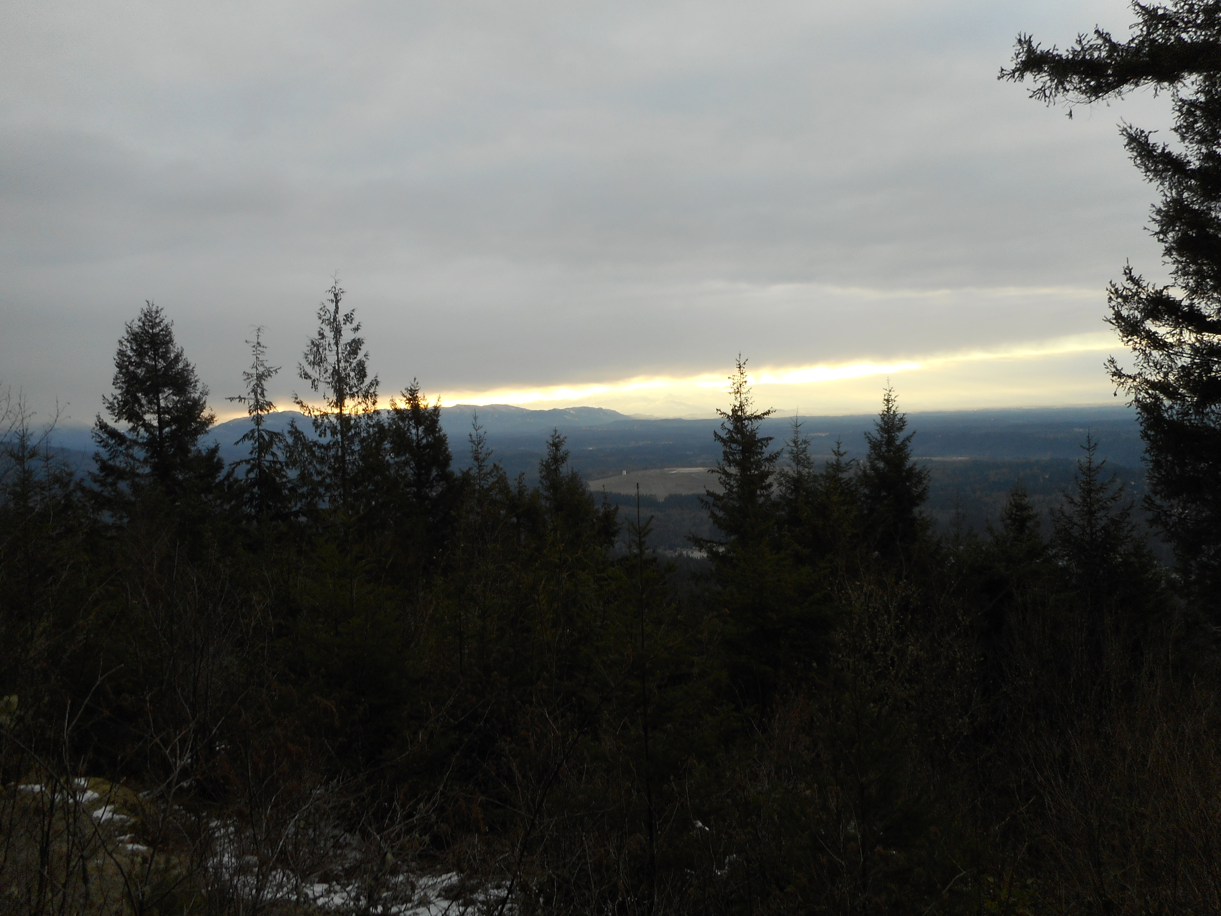
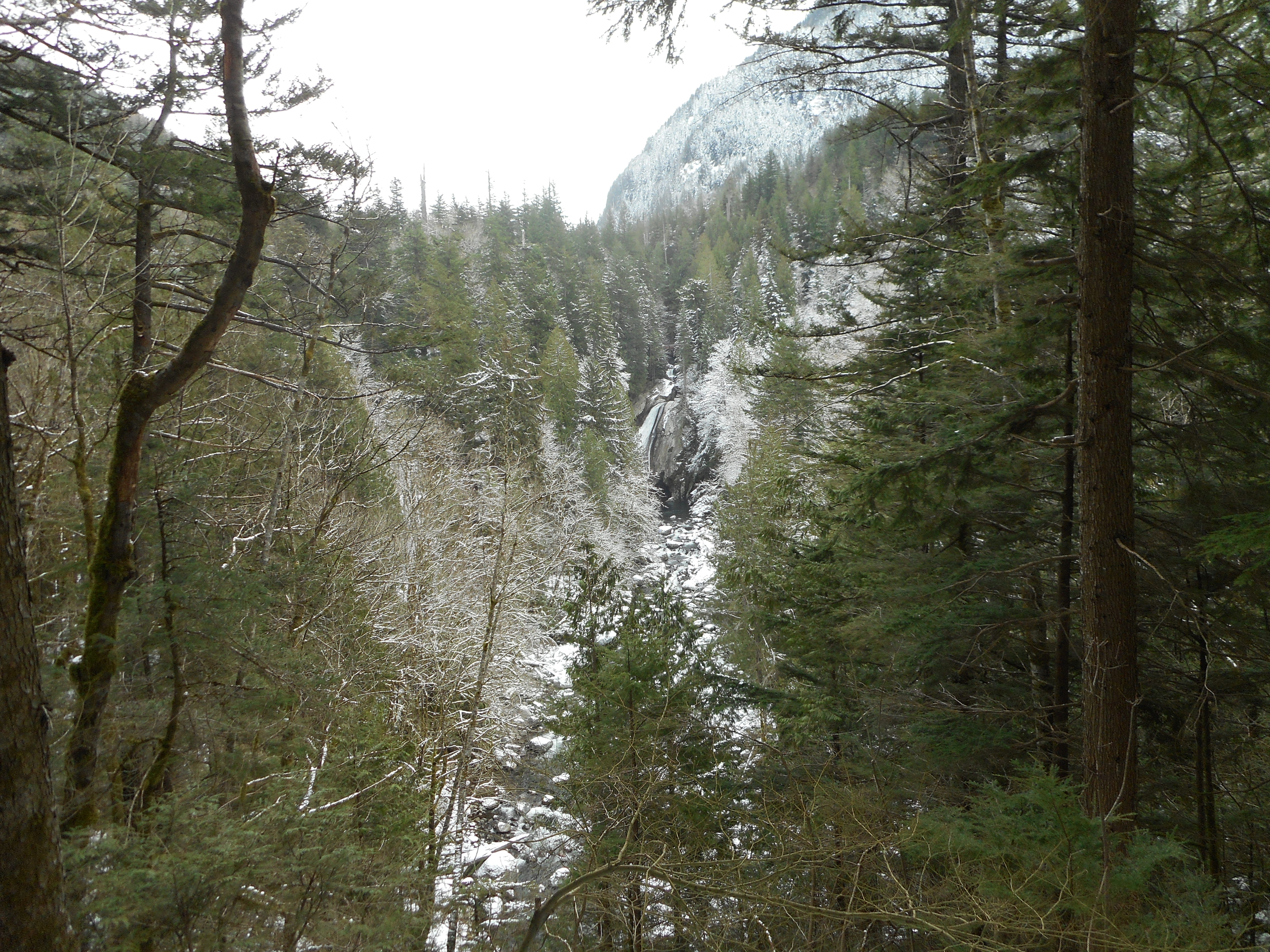
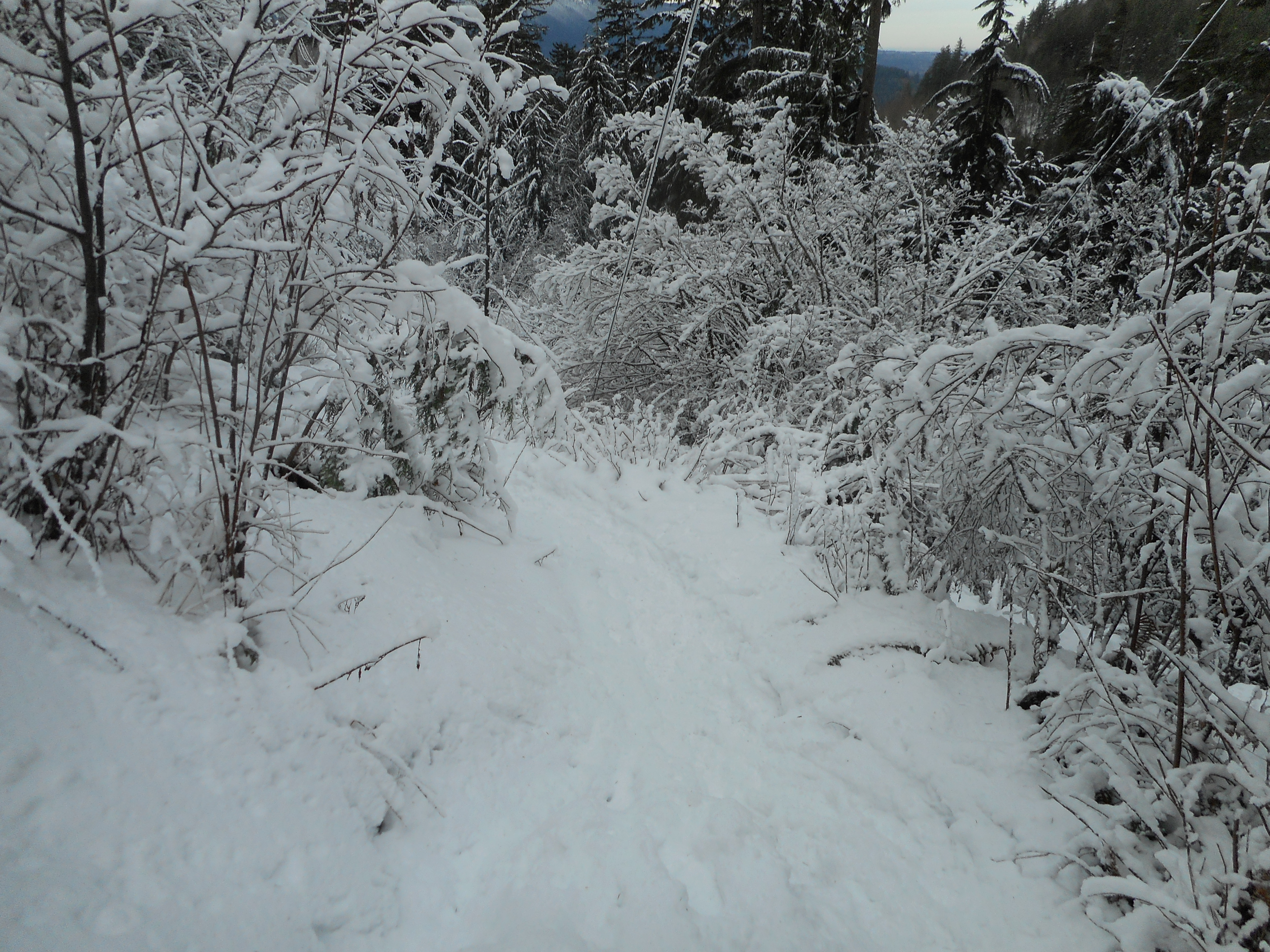
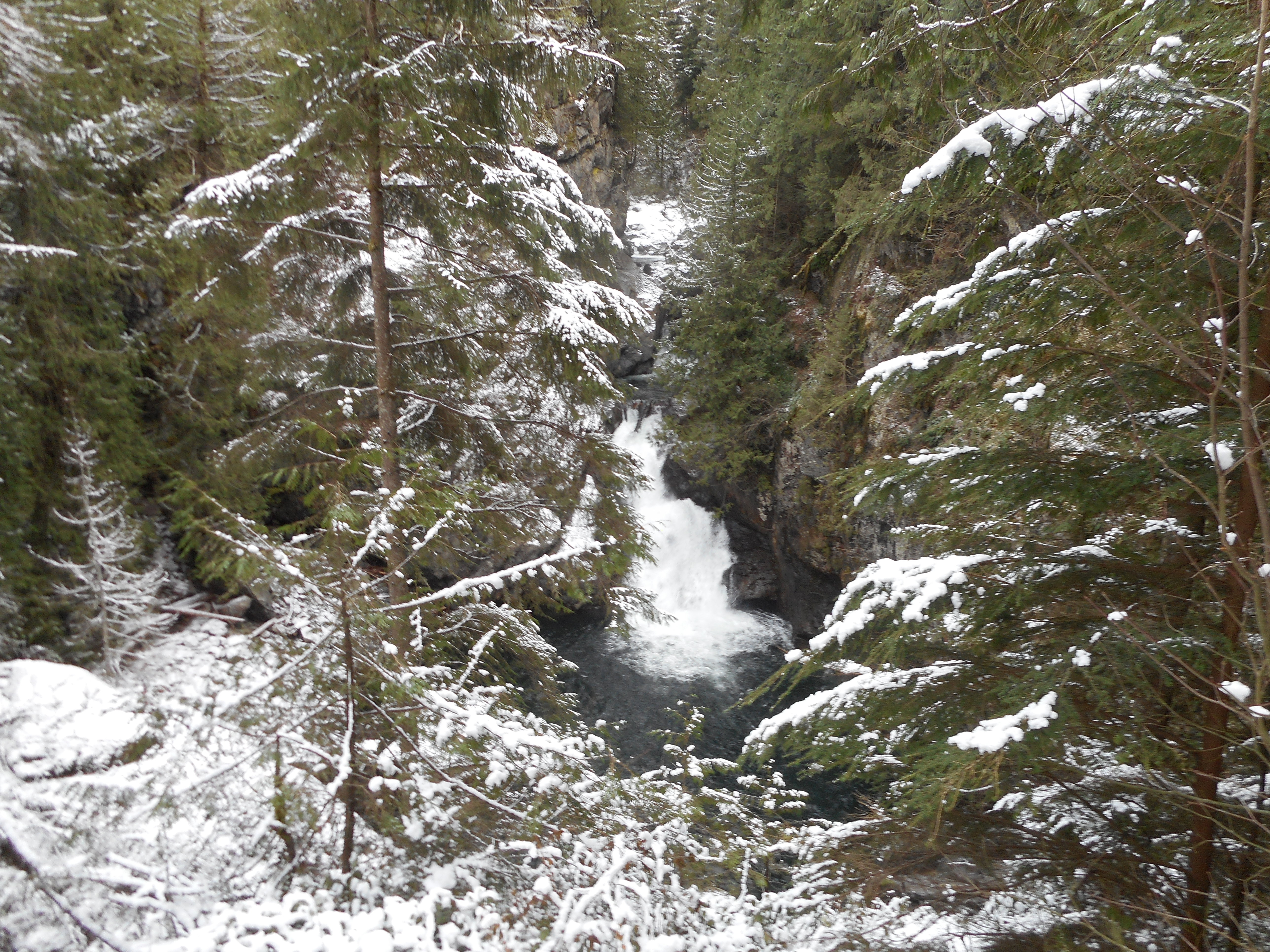
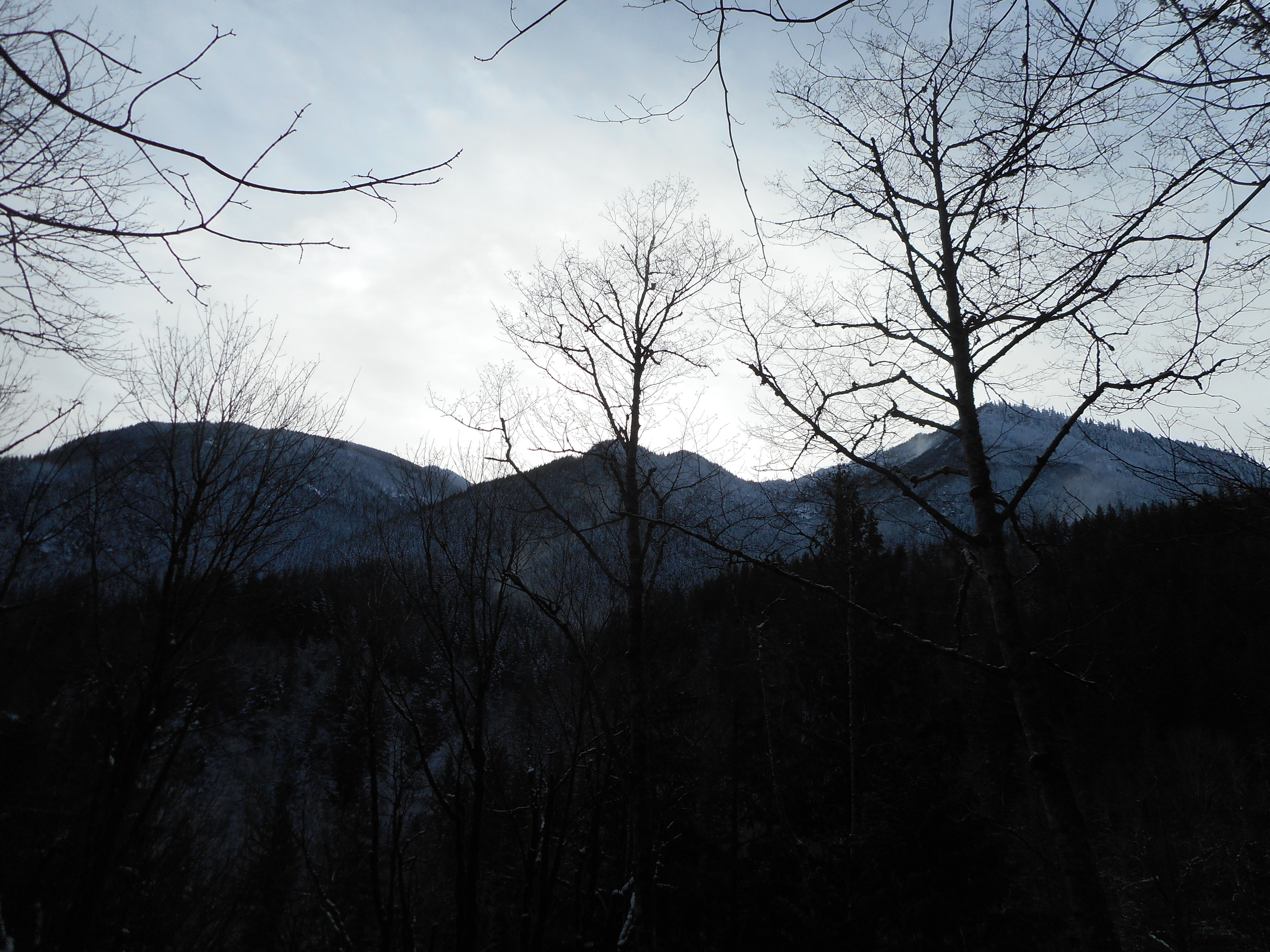
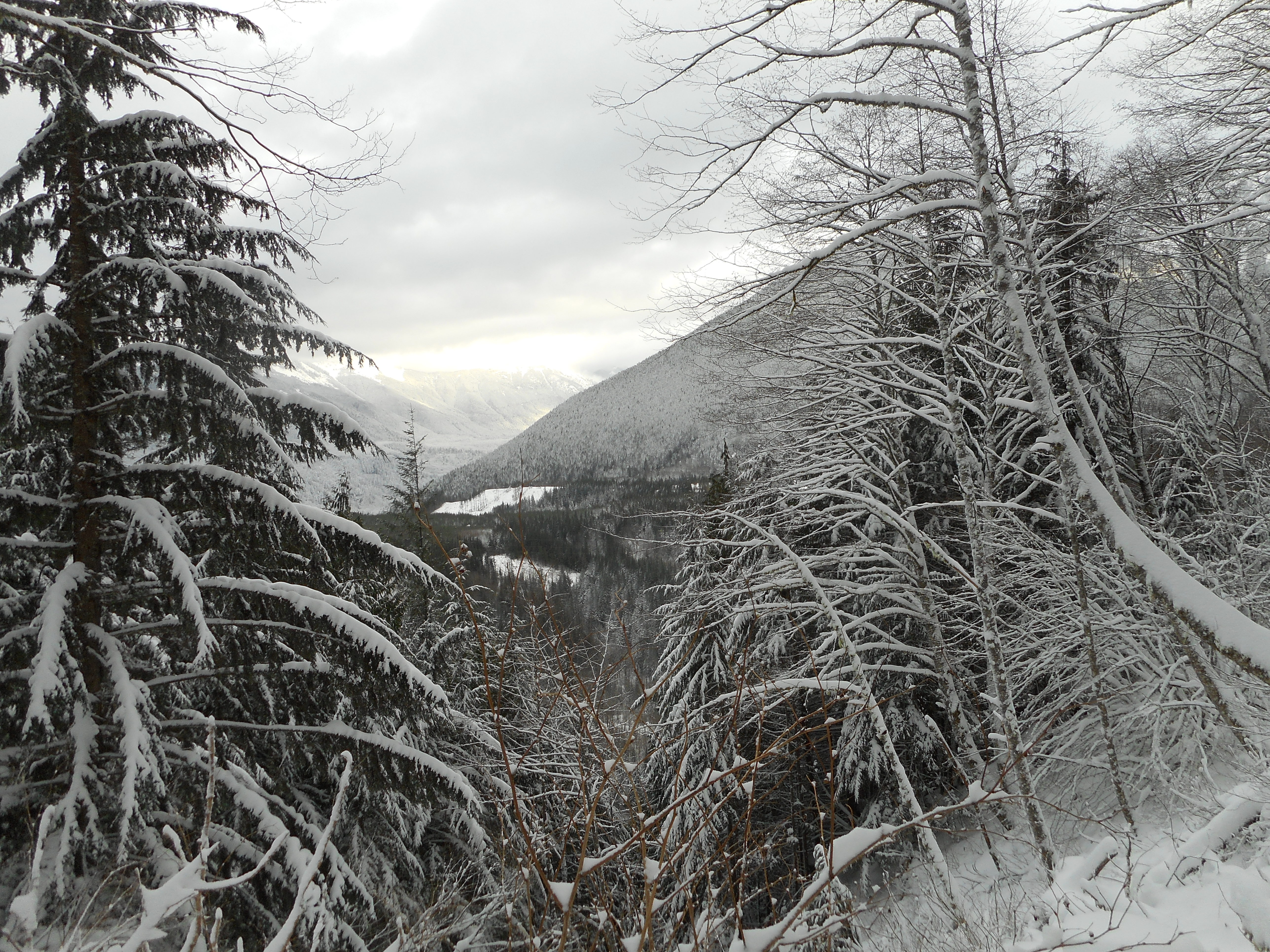
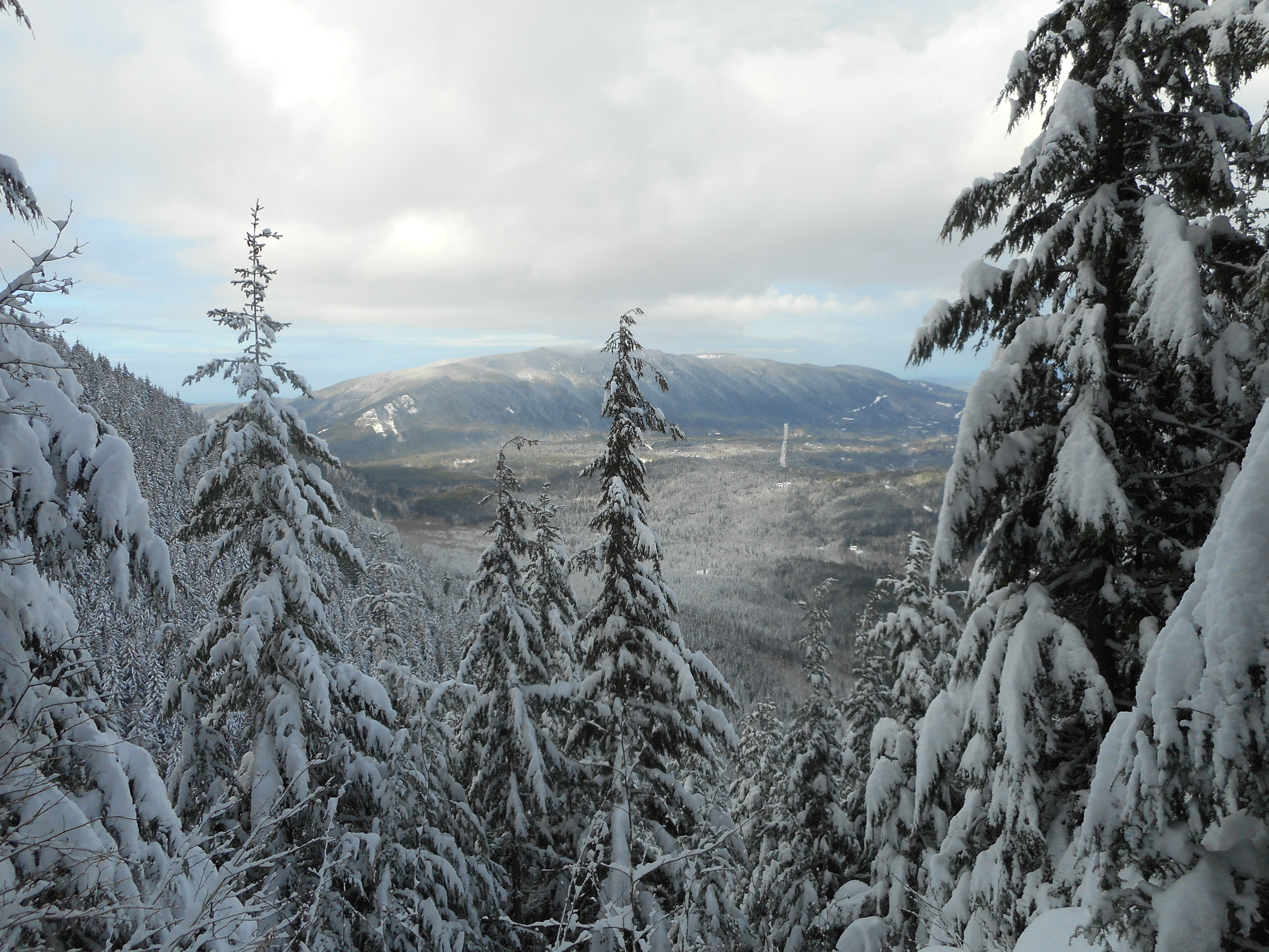
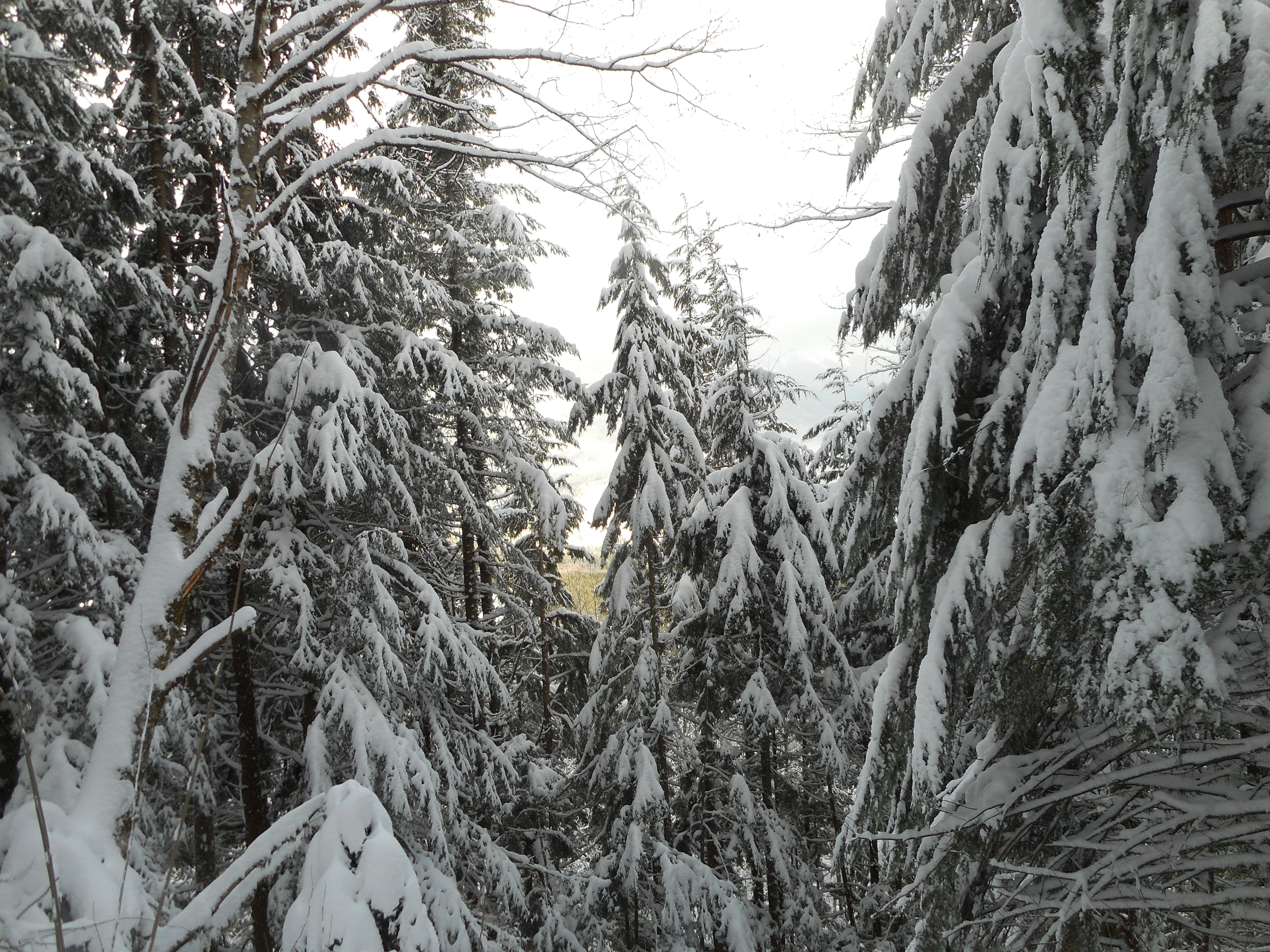
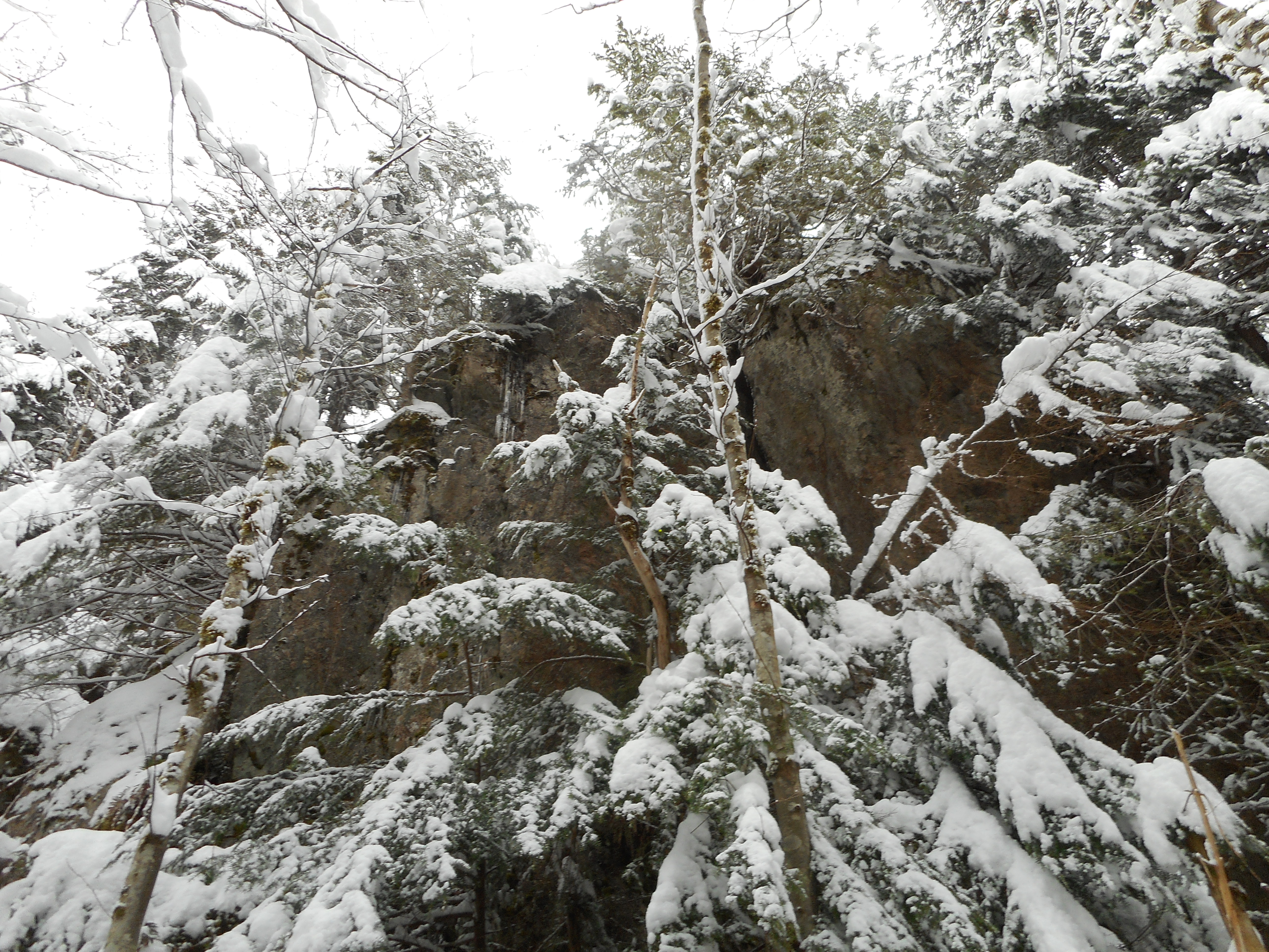
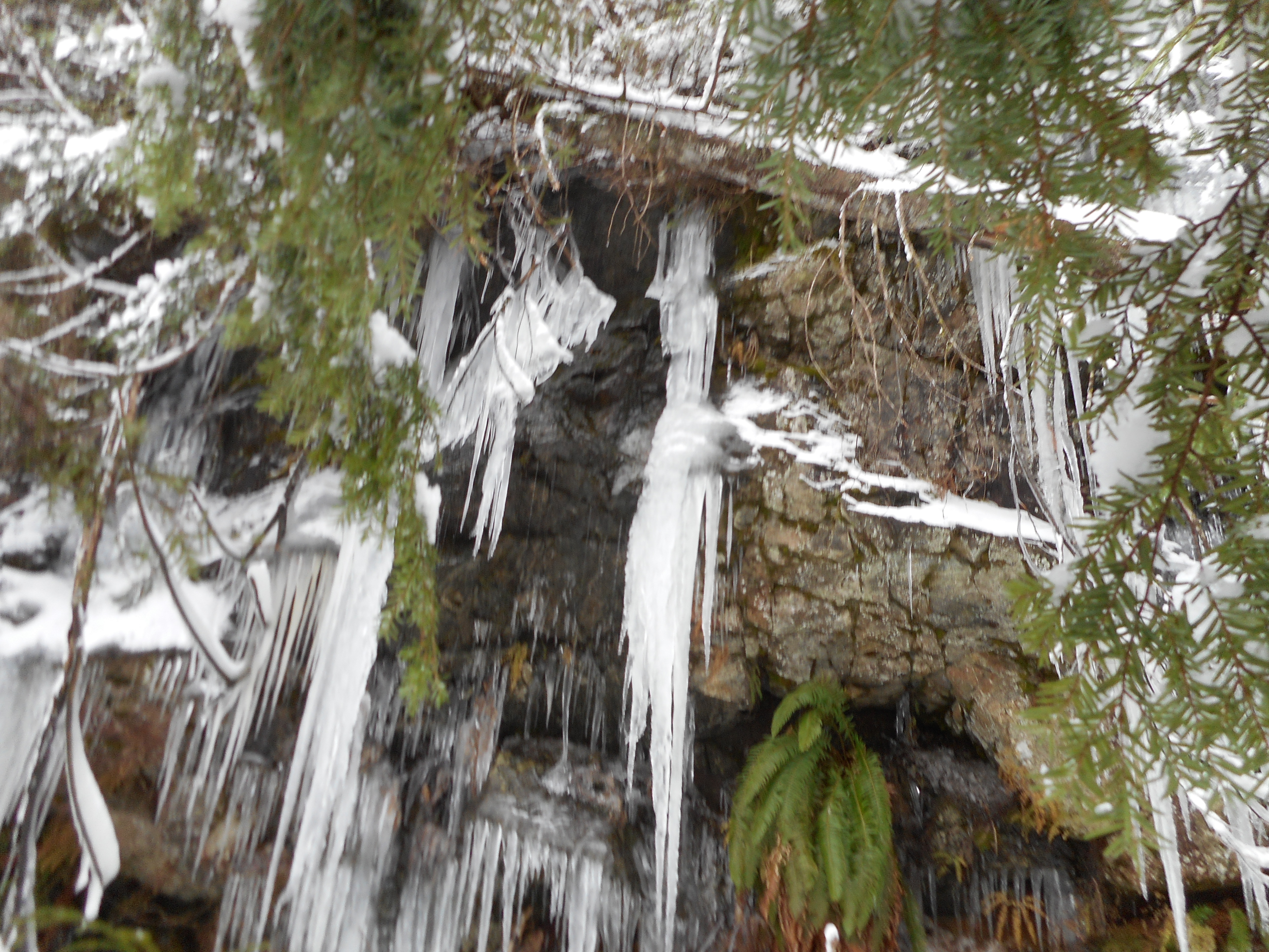
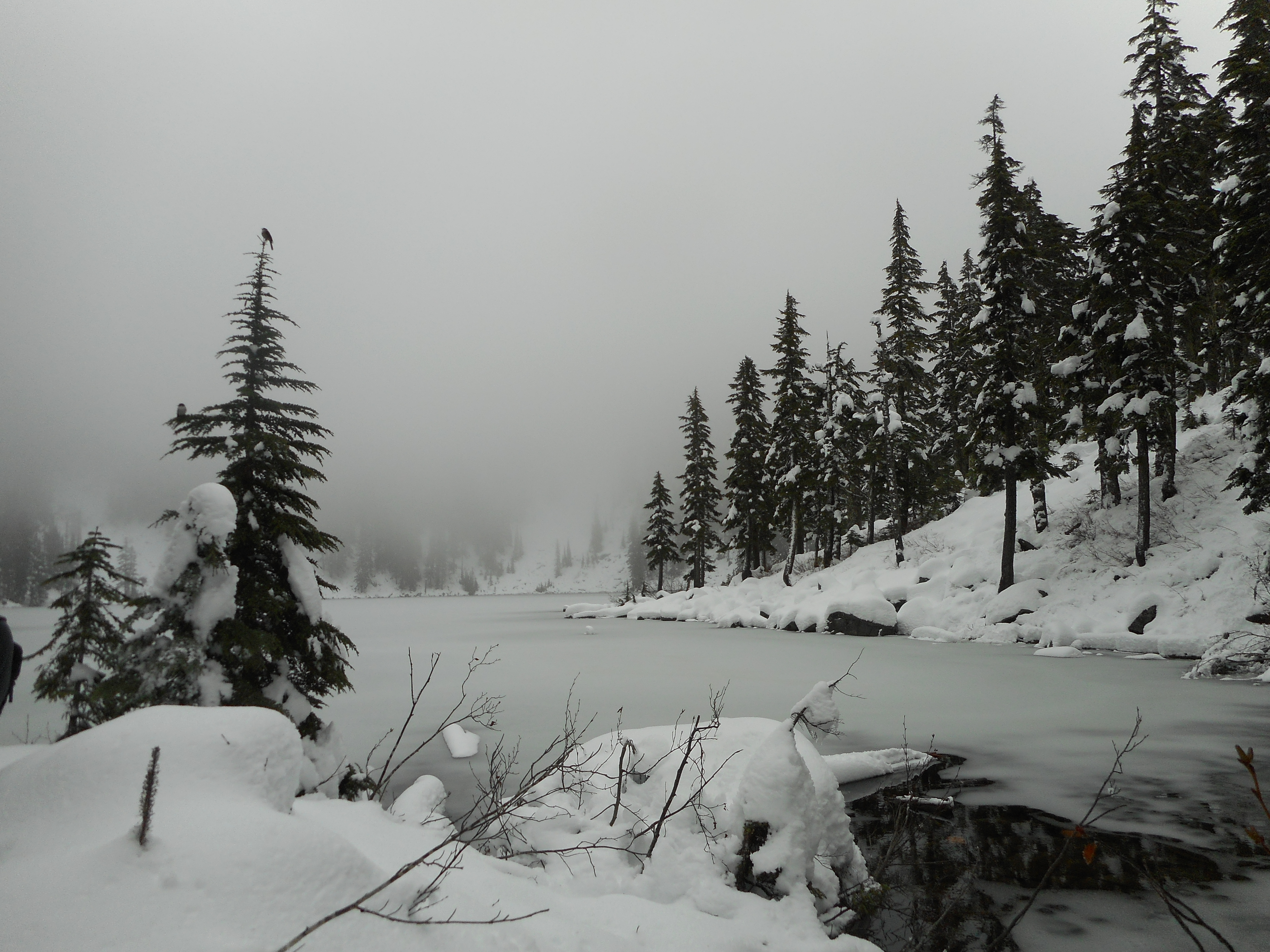
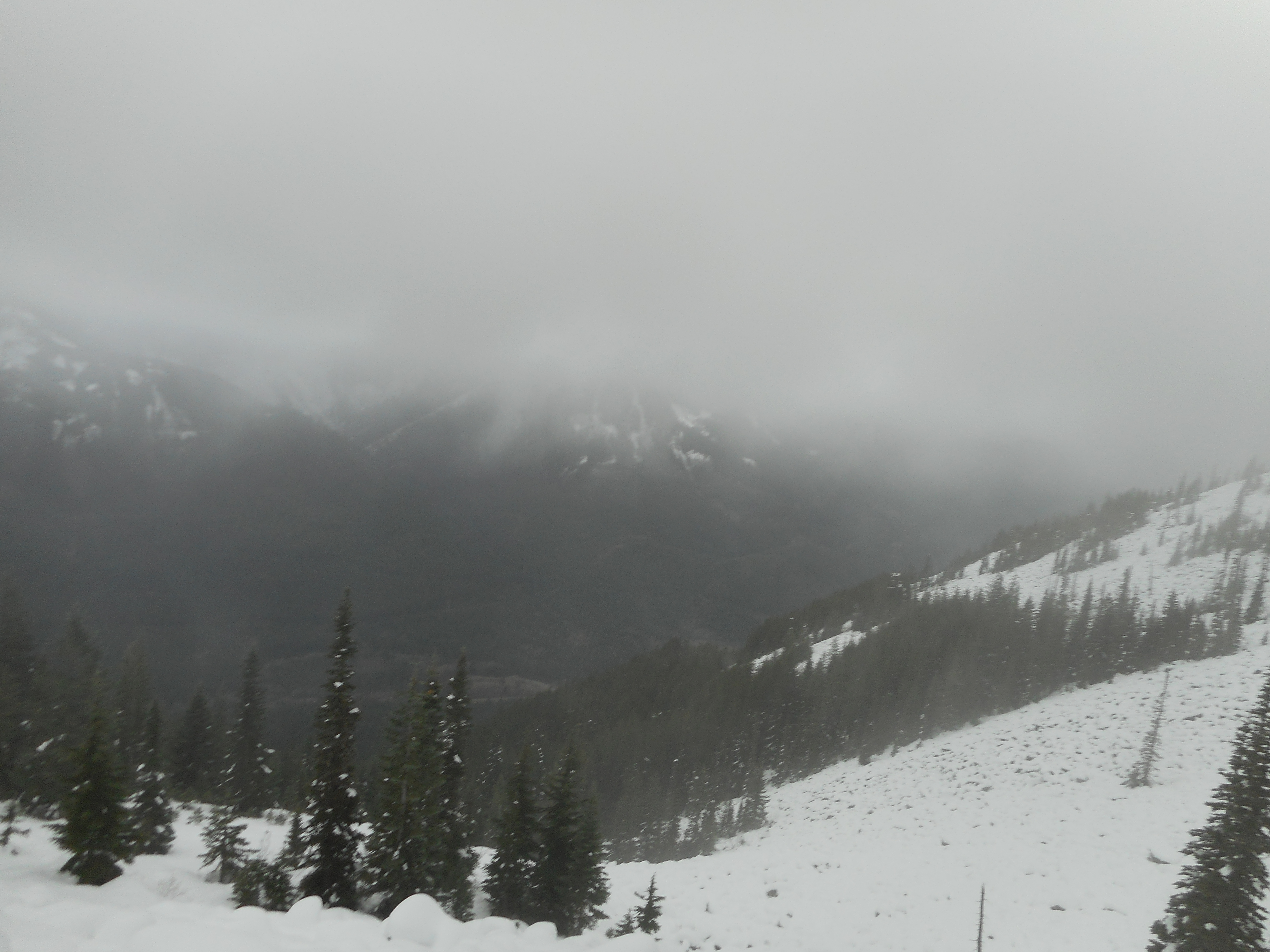
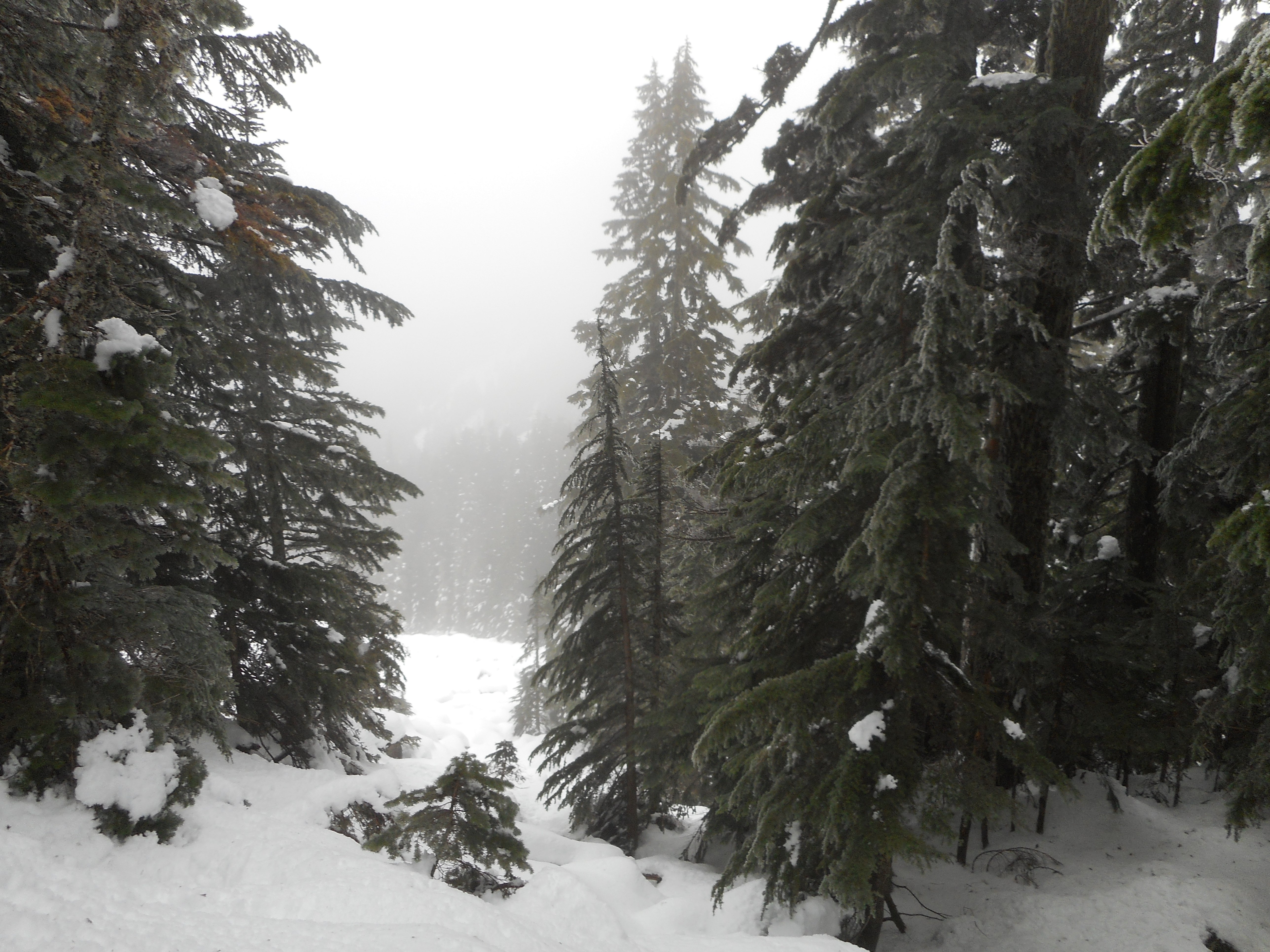
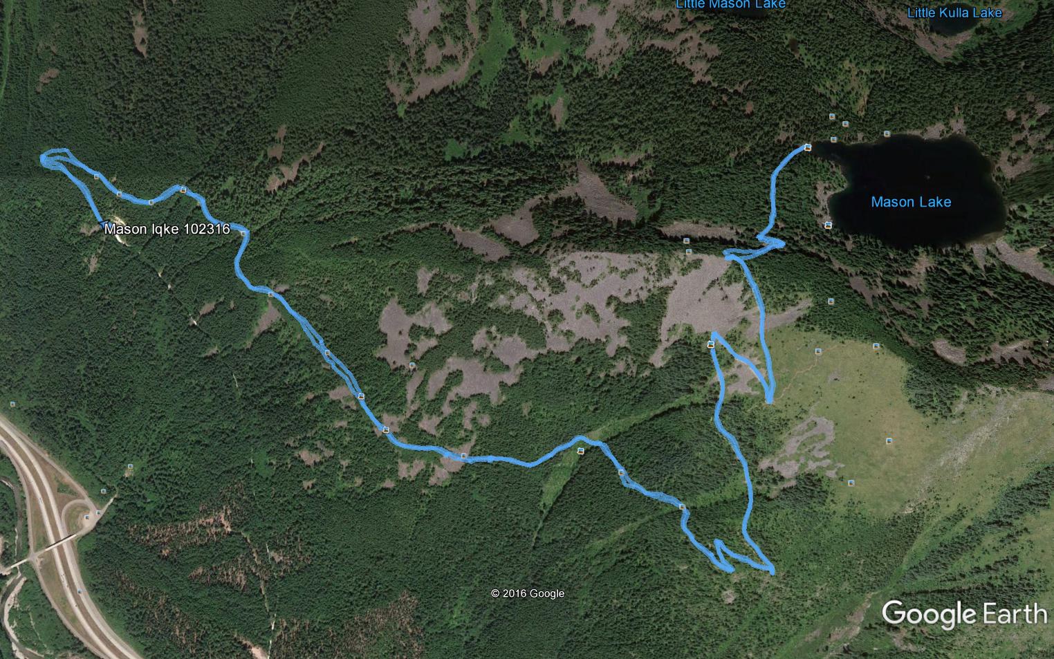
I have taken this route before, but never alone, and never in the daylight.  I was able to focus on the trail and the forest today and I noted happily that, immediately after Stan’s Overlook (see visualization, below) the woods get thicker and darker.  It is a beautiful environment.

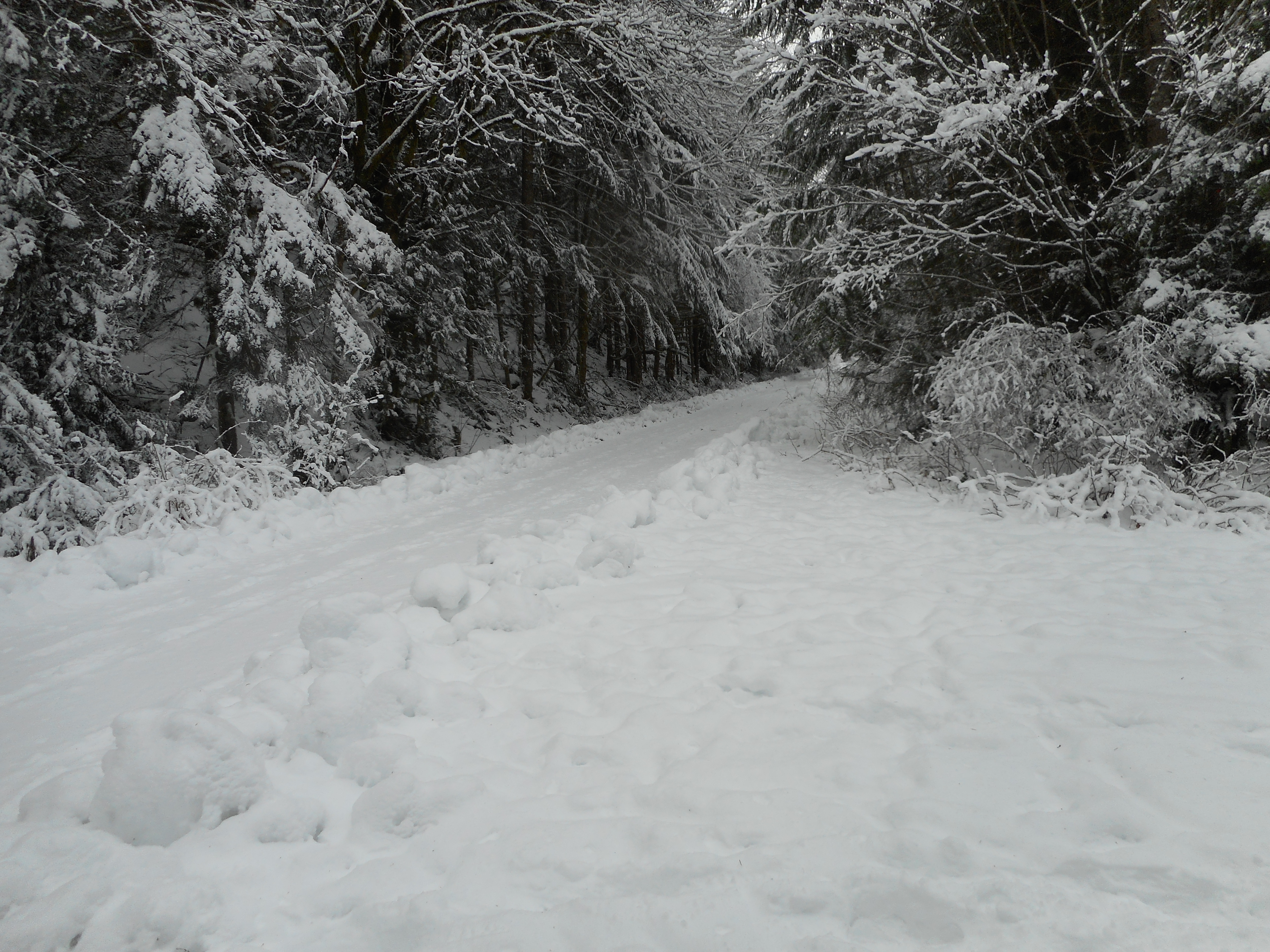
And the trail at this point is snow-covered – well packed, and with my Ice Trekkers, no problem to navigate.  So, all in all, it was a beautiful hike.

http://adventures.garmin.com/en-US/by/djhiker/rattlesnake-mountain-sno-point-start-12-31-2016/#.WGgTEU2V85t

Cable Line Trail 12/28/2016

No GPS or photos today, strictly a conditioning hike.

The plan was to meet Ken at the Cable Line trail head at 11:30.  I got there about 10, planning to walk west to find where the High Point/Cable Line trail head area intersects the Puget Power trail.  And get a couple of fun and easy extra miles in.

My phone rang about 10:30 – Ken said he was going to be early so I turned around and hiked back.  We headed up the Cable Line at 11, with Ken in the lead.

In fact, I made it to within about 10 minutes of the summit when I met Ken coming down.  He did the trail in 56 minutes, a great time.  I had been chugging along for 1:20 so I would have done it in 1:30.

One of my goals for next year is to get in better shape and hit the summit of West Tiger via the Cable Line in less than an hour.

I will use this post to track my progress.

Christmas Walk 12/25/2016

A walk on Christmas Day 2016

I was going to hike this morning but I got up so late (about 5 am) that I had to settle for an 8.2 mile walk in the neighborhood.

Merry Christmas!

Squak Mountain/Margaret’s Way – 12/17/2016

The View from Debbie's View
The View from Debbie’s View

We (Ken and Wendy Mallit, Carl, Greg and Mark) hiked Margaret’s Way today, a new hike for me.  This is a northern trail on Squak Mountain.

About 6.6 miles, 1,900 feet of elevation gain so fairly moderate, but fun and a nice workout.  We noticed a Squak Mountain map at the trail head and a quick glance showed lots of interesting trails to explore on Squak.  Great place to hike in the winter.  The trail today was virtually snow-free.

http://adventures.garmin.com/en-US/by/djhiker/squak-mountain-margarets-way-12-17-2016/#.WFWYbE2V85s

Visualization above.  I may be babysitting next Saturday, Christmas Eve, so won’t be joining the group.  I am off the week after Christmas and figure to do at least three hikes.

Should be fun.

Twin Falls 12/14/2016

One of the Twin Falls

Fun hike today (day off from work) with Ken.

We started at the Exit 34 trail head and hiked up to the other end, the junction with the Iron Horse Trail:

Junction with Iron Horse Trail

Trail had some snow most of the way but not too deep:

The Trail
The Trail

This is only about 4 miles, less than 1K elevation gain, but a fun little hike to do mid-week in the snow.  This is a very popular family-friendly hike because it is not all that long, or steep, and the falls are great:

The Other Twin
The Other Twin

The trail is just north and west of our favorite Mt. Washington hike, and at some points you can see the towering neighborhood peaks:

(l-r) Halls Point, Change Peak, Mt. Washington

Fun day, and it definitely beats working.

Mt. Washington Trail 12/10/2016

Winter has come
Winter has come

For some reason I cannot upload photos right now; will try to add photos if I can fix this.  12/12: fixed with help from WP FixIt, they found a bum plug-in.

Rattlesnake Mountain

Short post: met up with Ken, Mike, Mark, David and Greg and we trekked in the deep snow up the Mt. Washington trail.  We turned around (except for David and Mark, who went another 20 minutes) at the pond because the going was so strenuous.

But fun, and totally beautiful in the wintry snow, as will be apparent if I can get photos uploaded.

Through the snowy trees
Try climbing these rocks
Icicles
Icicles

Wintry Mason Lake 12/3/2016

Mason Lake Looking Awesome

Today I met Mark and Ken at the Exit 22 Park and Ride and Ken drove us to the Ira Springs Trail Head where we planned to hike to Mason Lake.

No snow yet at street level (forecast looks snowy all next week, though) but around 3,000 feet or thereabouts (I didn’t bring my Garmin today) we started to see enough snow to put on the traction devices and by the time we hit the Bandera/Mason Lake trail junction it was somewhere between a foot and two feet deep.  But packed most of the way, so not bad.

Low Clouds and Grey Day
Slow Going
Slow Going

The people in the photo above were ahead of us going down, I thought a picture with humans would provide a little perspective.

I did this same hike in October with George del Campo and today, with the snow, it was noticeably more strenuous.  But the views in the alpine forest are awesome:

Beautiful Snowy Alpine Woods

A fun hike, I know from experience this is a 7 mile round trip, about 2,400 feet of elevation gain.  Just about 3.5 hours.

As I say, I didn’t bring the Garmin, because I have done this enough times, but here is what the hike looks like on Google Earth:

Google Earth image of Mason Lake hike

We may do Mt. Washington next weekend.  It is a nice place to hike when there is a lot of snow, because it is mostly free of avalanche danger.

I got to babysit Finley and Camden yesterday afternoon so it has been a really nice 24 hours for lucky old me.