After 3 straight challenging hikes I did a nice little conditioning hike today on Squak Mountain. Margaret’s Way to Debbie’s View and back down. 6.2 miles, about 2,300 feet of elevation gain.
I started at 6:30 and finished at 10 – good workout, nothing extreme.
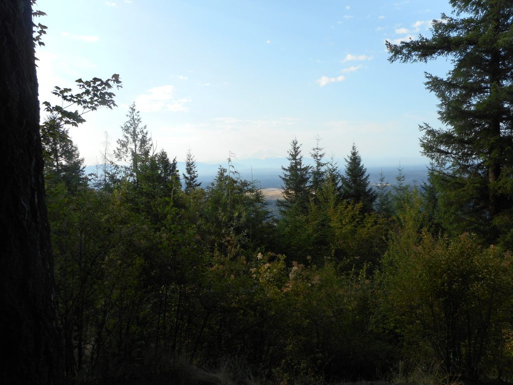
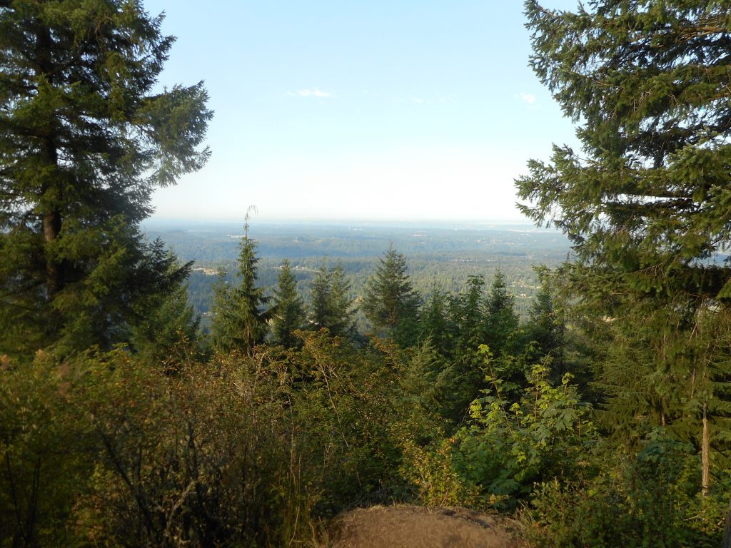
Looking Over Bellevue and SeattleForest
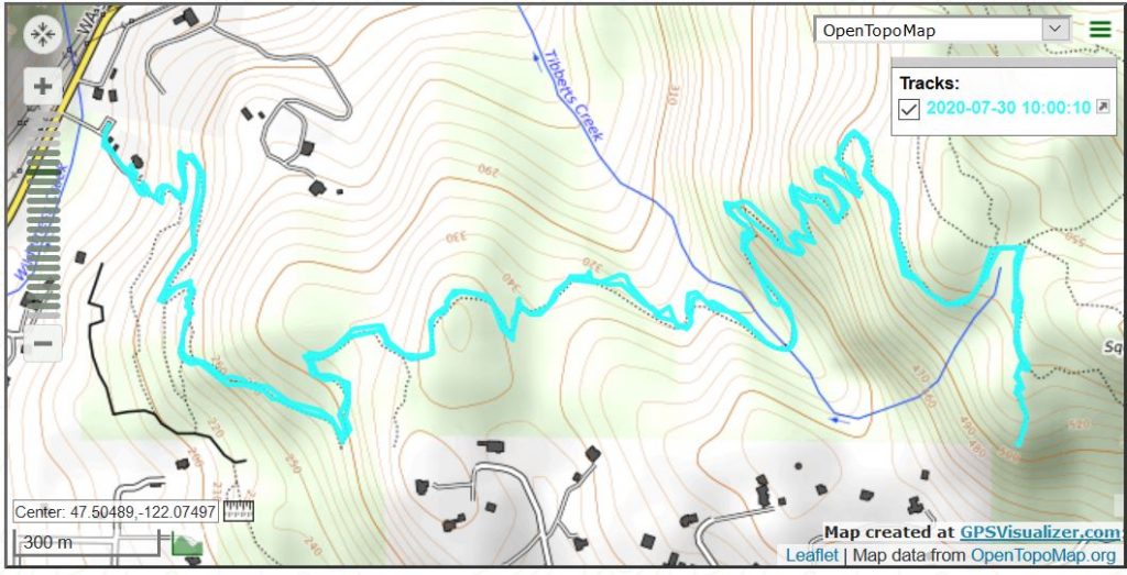
Nothing special but a fun way to spend the morning. Track is below.
Short post today, hard to type because I took a spill on the way down and hurt my wrist. Probably a sprain, hope it feels a little better tomorrow.
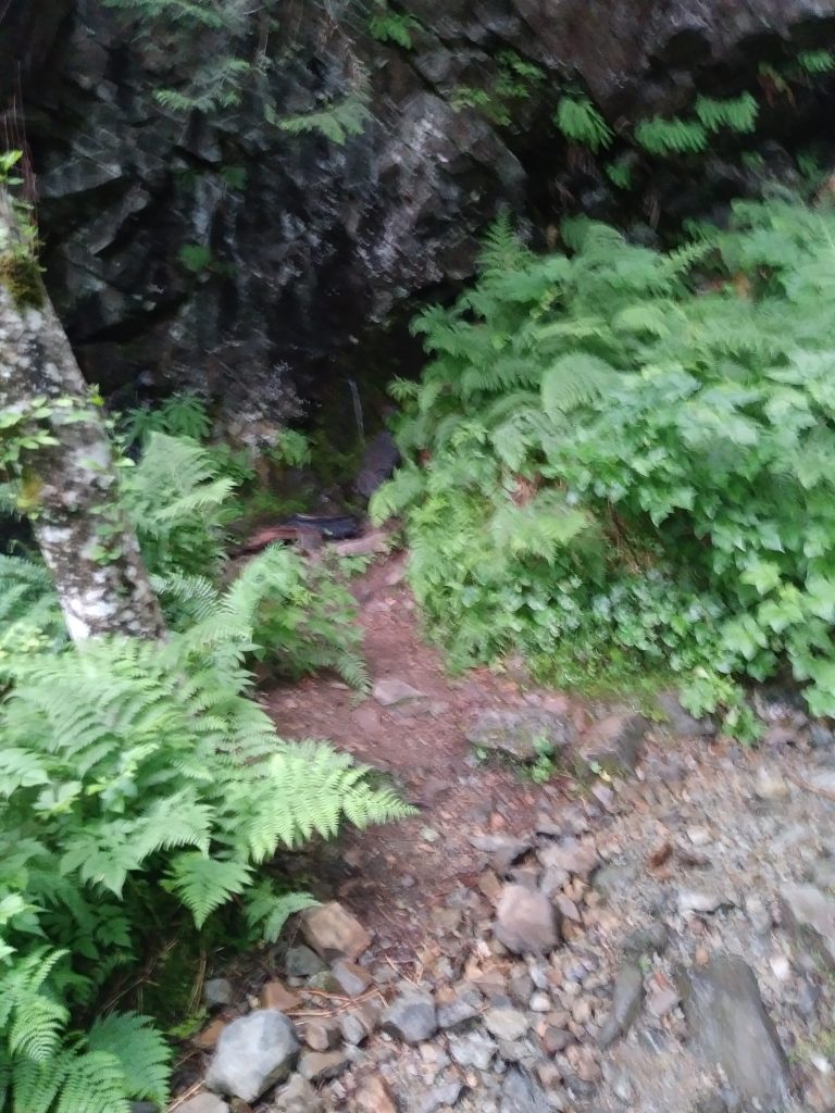
This is by far the toughest solo hike I have ever done. Hard to find the trailhead (I put pink flagging tape there on the way out, not sure why no one has done that before); hard to get to the trailhead because you have to drive several miles on awful service roads (rocks and potholes); 2,500 feet elevation gain in two miles, which is tough but not a real problem; but rocks! boulders!
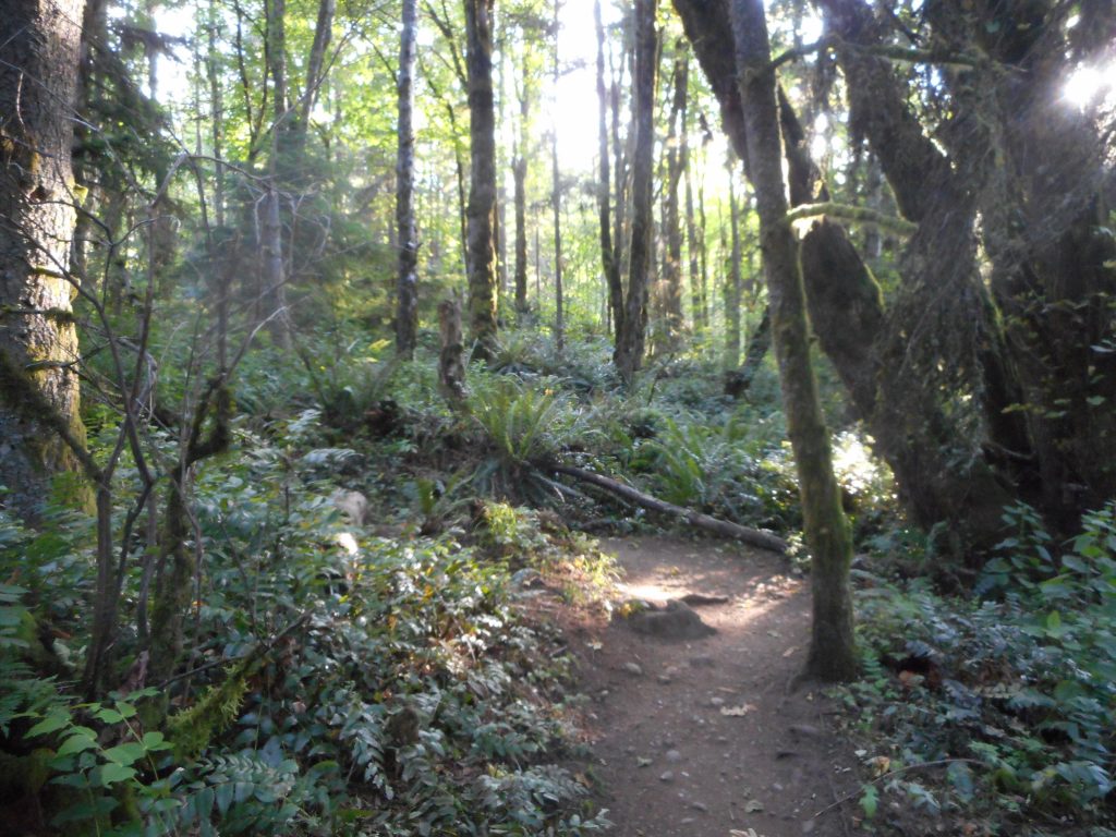
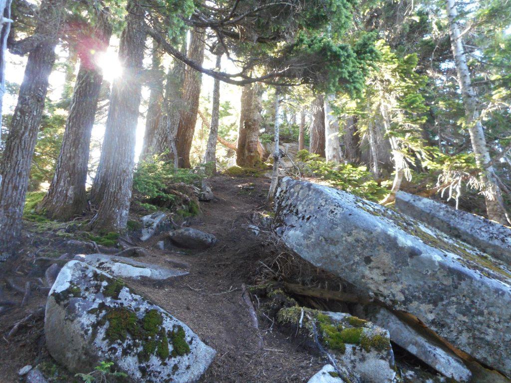
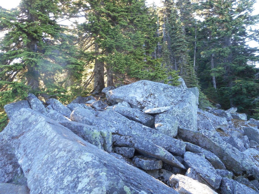
Here is a picture of the trail and a picture of one of the boulder fields:
TrailScrambling
When you get near the summit the trail disappears and you have to just pick your way through a boulder field. Trail picks up again but then there is another boulder field; and then another; and the summit is one huge boulder field.
I did make it to the highest rock up there but I did it really carefully. All of that was tough. But what was really tough was coming down. I had to slide on my butt numerous times, holding on to tree limbs to keep from picking up too much momentum. It was near the bottom, in a dusty patch, that my feet just gave out and I came crashing down with most of my weight on my right hand. Ouch!
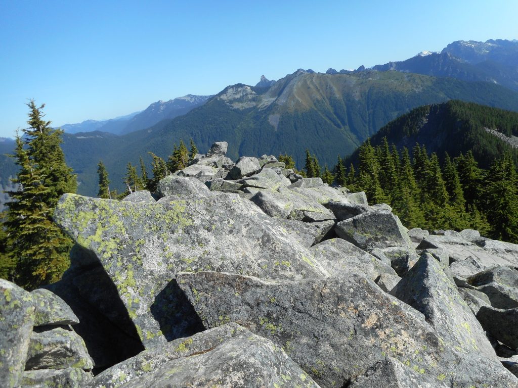
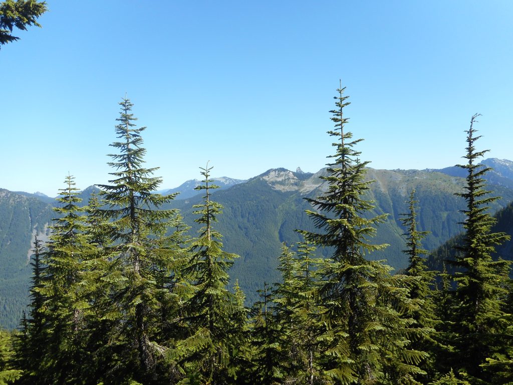
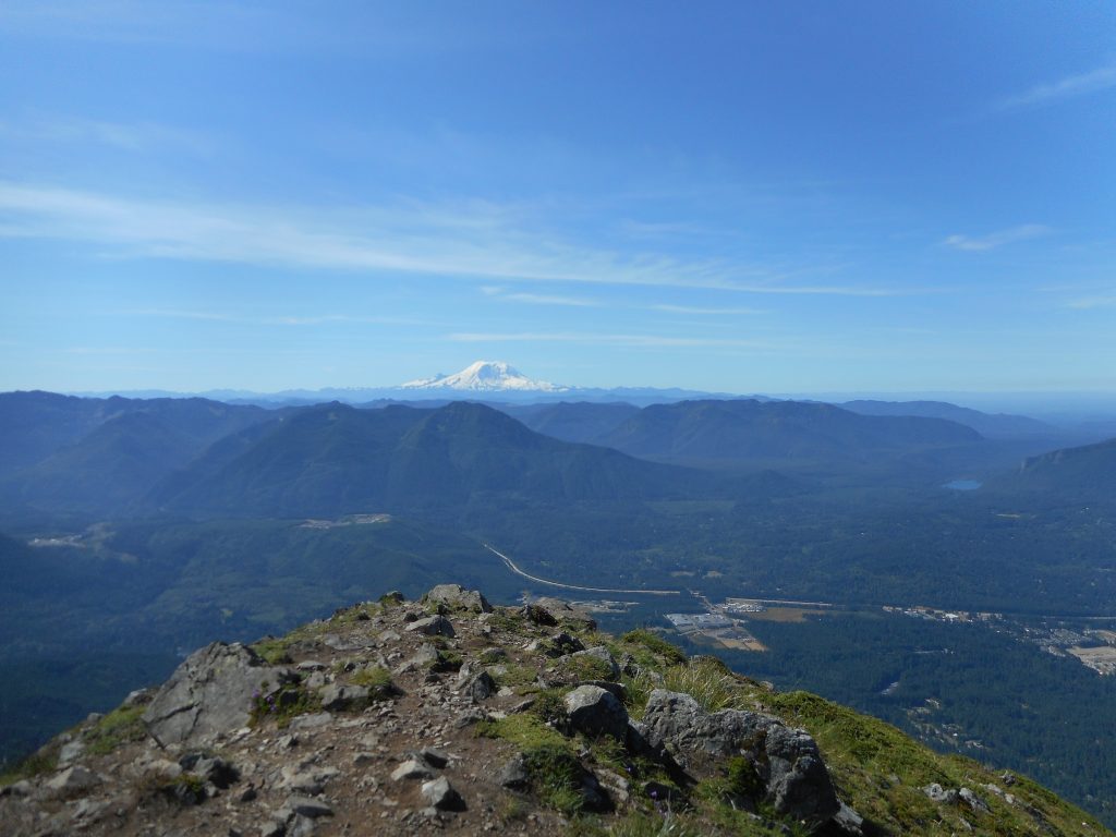
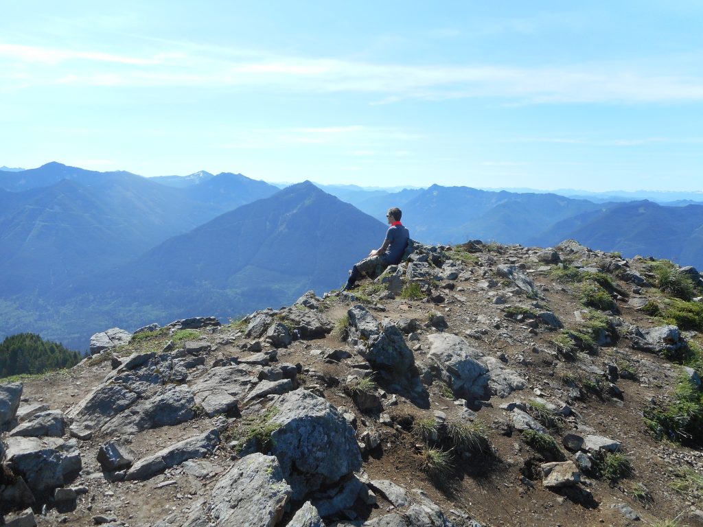
On the bright side, the views at the top were magnificent:
View
As for the track, see below. There is a short (.6 mile) and easy connector trail to the actual trail and after that it is pretty much just straight up to the top. A tough hike/scramble but in the end I am glad I did it and extra glad I started early (hit the trail at 6:30) because today turned into a hot one.
Derek and I did an 11.3 mile hike with about 4,500 feet of elevation gain. Here is what we did:
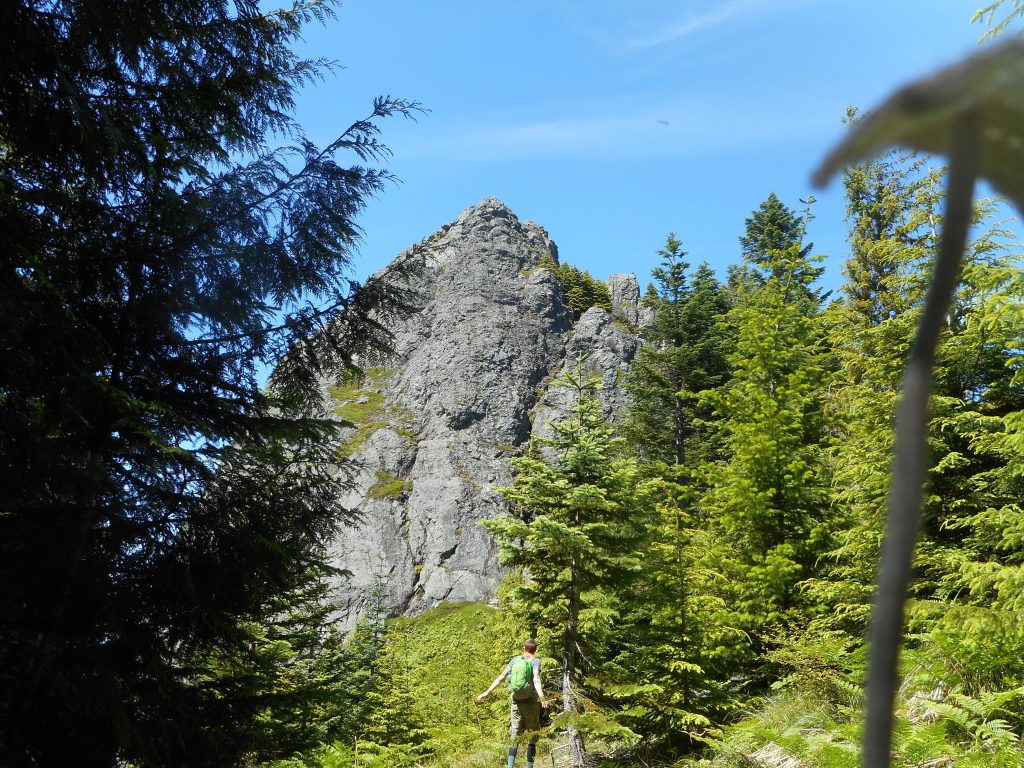
We met at 6am at the Little Si parking lot. Derek parked his car and I drove us to the old Mount Teneriffe trail head. The new one does not open until 7 and we were earlier than that.We went up Teneriffe Trail to the waterfall and, from there, took the spur trail east to the Kamikaze trail. This section of trail, about .4 miles, is very steep and features numerous miserable step-ups.
I am 68 years old and only five foot nine so most of the time I had to take a step, find something to pull myself up with, and pull hard enough to get me to the next step.
At 2,800 feet there is a rocky scramble that, in our view, marks the beginning of the Kamikaze Trail, so called because it climbs up the ridge adjacent to the falls, known as Teneriffe Falls and unofficially as Kamikaze Falls. To be sure, it is easy to slip and die if you try to get too close.
The Kamikaze Trail (see track below) just goes straight up the ridge, climbing from 2,800 feet to 4,760 feet in .9 mile. That’s an average grade of about 42%. Here is what a typical section looks like:
Kamikaze Trail
We took Kamikaze (slowly, I am painfully slow when it gets steep) to the junction with the main Teneriffe Trail, which is only a couple of hundred vertical feet below the summit.We scrambled up to the summit, which is an amazing 360 degree view. Here is Derek sitting on the summit:
Derek on Summit
We went down the main Teneriffe Trail. This trail immediately loses about 300 vertical feet but, not to worry, you gain it back and then some when you climb up to the tree-surrounded summit of West Teneriffe.
From West Teneriffe it was mostly down, (with one section where you gain back 200 feet) to 3,500 feet, to the junction with the highest Teneriffe/Si connector trail. We followed that spur (about .8 mile) to the summit of Mount Si at 4,000 feet, thus exhaustingly gaining another 500 feet.
Here is the Haystack on top of Mount Si:
Haystack
We scrambled over the rocks at the Si summit and took the New Si trail just a short way until it met the Old Si trail and we took the old Si trail to the Boulder Garden Loop, and that to the Little Si trail, and that down to the parking lot where Derek’s car was parked.
I can tell you that car looked like heaven when we saw it, after 11.3 grueling miles. Derek drove me over to my car, and en route, we had the windows open and that felt heavenly. It was a mighty warm day – fortunately most of our hike was in the forest, and the toughest, steepest part happened before noon.
Still, this was a real physical challenge and I predict a bit of soreness tomorrow.
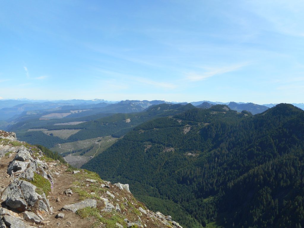
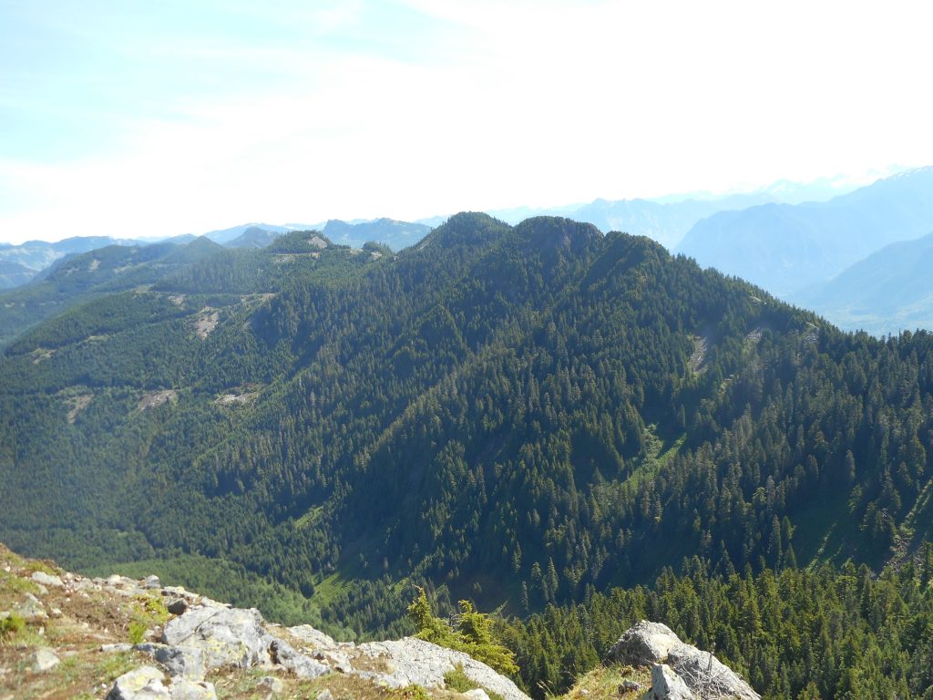
The view from Teneriffe summit is spectacular:
North/East ViewNorth View
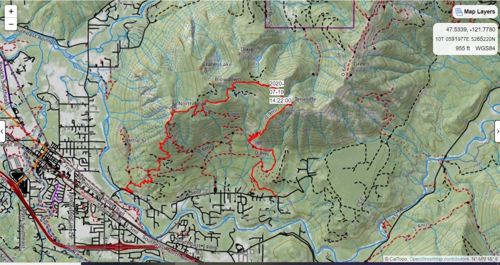
And here is our track, from CalTopo:
Today’s Track – Hike Started w/Red Line Lower Right
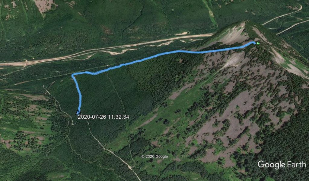
Yesterday Derek and I made our fourth attempt to attain the summit of Chester Peak – and this time we did it!
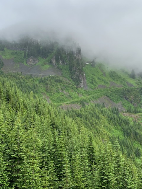
The track is below but briefly, what we did is drive up NF9021 to just before the junction with NF110. From there we hiked up NF110 and looped around the southern end of the Mine Creek Gorge to approximately where the old service road loops back east (the service roads around there are very different on the ground than they are on the maps) and, using a large talus field as a visual mark, hiked up the talus field to the top, and from there, total bushwhacking up to the summit.
That’s the summary but the reality is that most of the way from the top of NF110 (it levels out at a wide point we call ‘the shooting gallery’ because there is so much target practice detritus) to the summit was as difficult to move through as anything we have ever encountered.
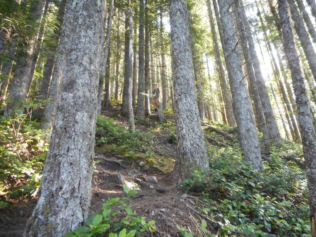
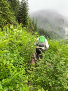
Here is Derek bushwhacking just past the shooting gallery, Chester is the misty peak in the distance ahead:
Derek Bushwhacking
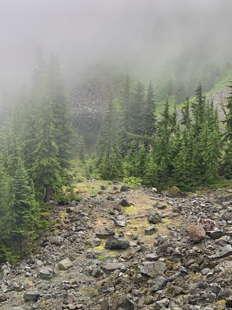
Below are a couple of pictures of the talus field including one with me (a little dot on the lower left) slowly climbing up.
But the worst was unrecorded by Derek’s phone (Jan was using our camera today to record our daughter Brittany’s wedding shower) because the conditions were extreme enough that there was no slack to pull out the phone and snap any pictures.
It is hard to describe the conditions on the ground there but I will try. We were going sharply uphill, I would estimate about a 40 degree grade, through extremely dense brush, and trees with branches reaching to within a couple feet of the ground. It was raining so it was very slippery. Over and over we would find a way to take a step up, only to slip two or three steps down.
For about 1/3 of a mile, I had to literally stop after every step up to survey the next step. In what direction did it look like progress could be made?
Eventually we hit a small clearing, the sun came out for a few minutes and we were able to take our bearings. I have a Gaia app on my phone and I had downloaded a map of the area previously so I did not need cell phone coverage in order to get a detailed map. We were just short of the summit so we pushed onward and upward and got to what appeared to be the highest spot around. A quick check on Gaia confirmed – we were at the highest point of Chester Peak! (see track)
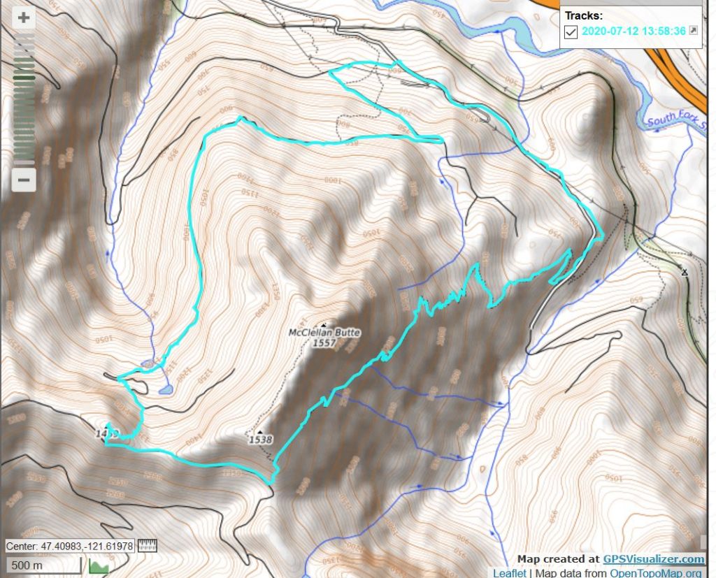
We went back a different route. We bushwhacked down the southern slope to a decent service road (the same road you take to Mount Kent) and, again confirming via Gaia, went up another talus field to the McClellan Butte trail. From there we went down to the service road that intersects the McClellan Butte Trail and back to the car.
A side note: the 2nd avy chute on McClellan Butte is really dangerous and obnoxious right now. We had to slide down the side of a ravine and scramble up the other side. I don’t think this avy chute will be in decent shape for another couple of weeks. Which only proves, again, that McClellan Butte is only good for hiking during August, September, and October. Short season there.
Anyway, we did it, and are elated about that but I think once is enough for this one. For sure, the best (least worst) route to Chester would be via McClellan Butte trail, down to service road, etc.
9.81 difficult miles, about 3,700 feet of elevation gain. Great workout.
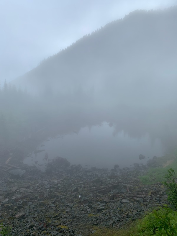
Looking DownTarnMe Going Up TalusTrack – Note Summit Attainment
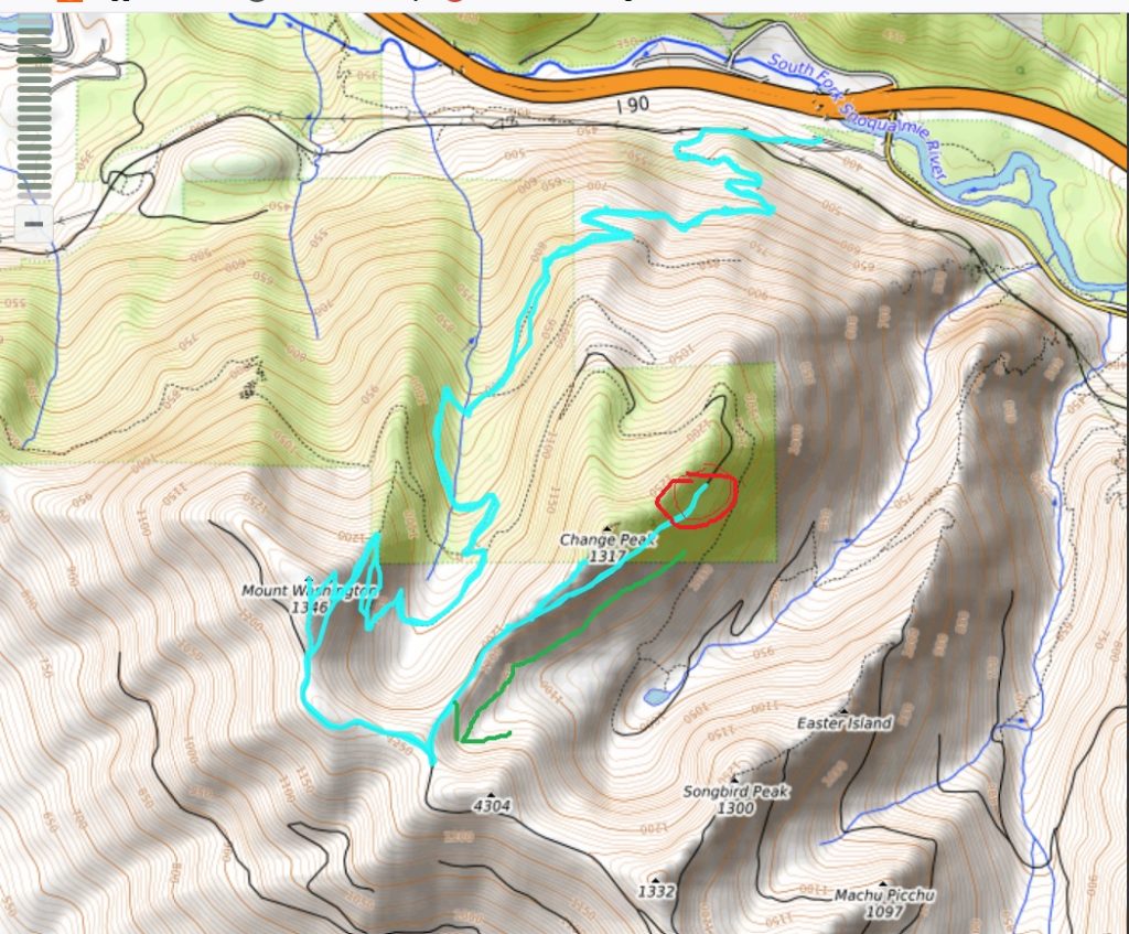
Carl and I started up the Mount Washington trail this morning at 6:30. Our plan was to go up the Mt. WA main trail to the summit, then go down to the Great Wall and up to Change Peak, then back down to the cars via Great Wall/Great Wall Connector/Lower Mt. WA trail.
We did the Mt. WA and Change Peak summits (actually, just short of Change Peak summit) but near the junction of the Great Wall trail and the Olallie Bike Trail what did we spy up ahead but a large bear hanging out on the trail.
We quietly retreated and quickly decided the smart choice was to re-trace our route. This was kind of sad since the route we had planned would have been about 9.5 miles. Having to backtrack turned our hike into a 12.73 miler with just over 4K elevation gain. Yikes! But that beats the potential consequences of surprising a possibly surly bear.
I have added some color to the track below. The red circle is where we turned around and the green arrow shows the direction we back-tracked.
As for the lame photo, I forgot to bring my camera and only managed to snag one photo on my phone. That is a leak in a cliff which leads us to believe that sometime in the distant future, the cliff is going to collapse. We hope it isn’t for at least a few thousands years.
Anyway, in spite of everything (plus, I came scarily close to sliding off a cliff) it was a fun day and a great workout.
I saw the above fungus again today and I flashed on what it is: Indian Pipe. Very interesting little guy to run across.
I used ‘Talus Rocks’ in the title to make it sound different, but in fact this is the same Tiger Mountain hike I did last week, but instead of going down via the Nook Trail I took the Talus Rocks trail over to West Tiger #3, to the Bus Trail, etc. This adds a couple of hills and about a mile to the hike. Plus, the rocky part of Talus Rocks is pretty cool looking and, relatively speaking (Tiger Mountain tends to be busy on a Saturday morning) isolated.
Talus Rocks TrailMore Rocks
Back to reality and the Fourth of July, which in my neighborhood is incredibly loud.
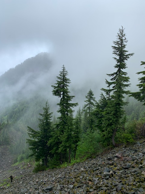
Carl and I had semi-ambitious plans this morning but it was raining rather vigorously so we scaled back to just doing Hall Point. We actually went just a bit beyond Hall Point towards J’s Landing but basically it was just over 3 miles. But steep!
In the picture above, the background is the location of Zig Zag Trail, where we hiked last week. Between Zig Zag and Change Creek Trail is Hall Creek. These two trails are really quite similar and both are ultra-steep. So 3 miles seems much longer.
In The CloudsUnmarked Start of Change Creek TrailTrack
A great workout and lots of fun. And Camden (5 year-old grandson) is visiting right now so bye!