Mount Teneriffe via Kamikaze Trail 7/29/2017

Ken and Carl on Teneriffe Summit

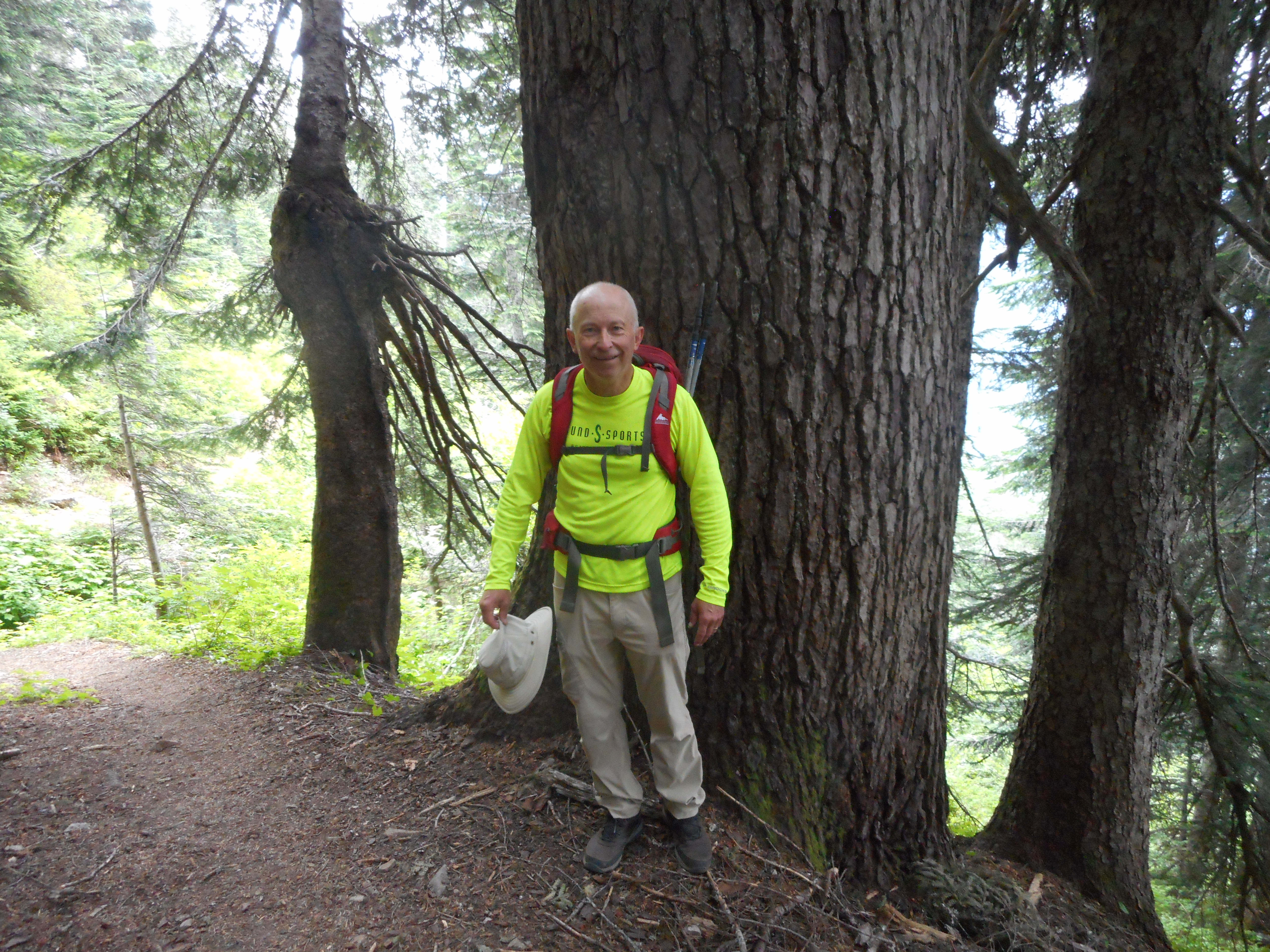
Carl and Ken and I hiked to the summit of Mount Teneriffe via the Kamikazi Trail. I have done this twice with Derek so today was the third time.

It doesn’t get any easier.

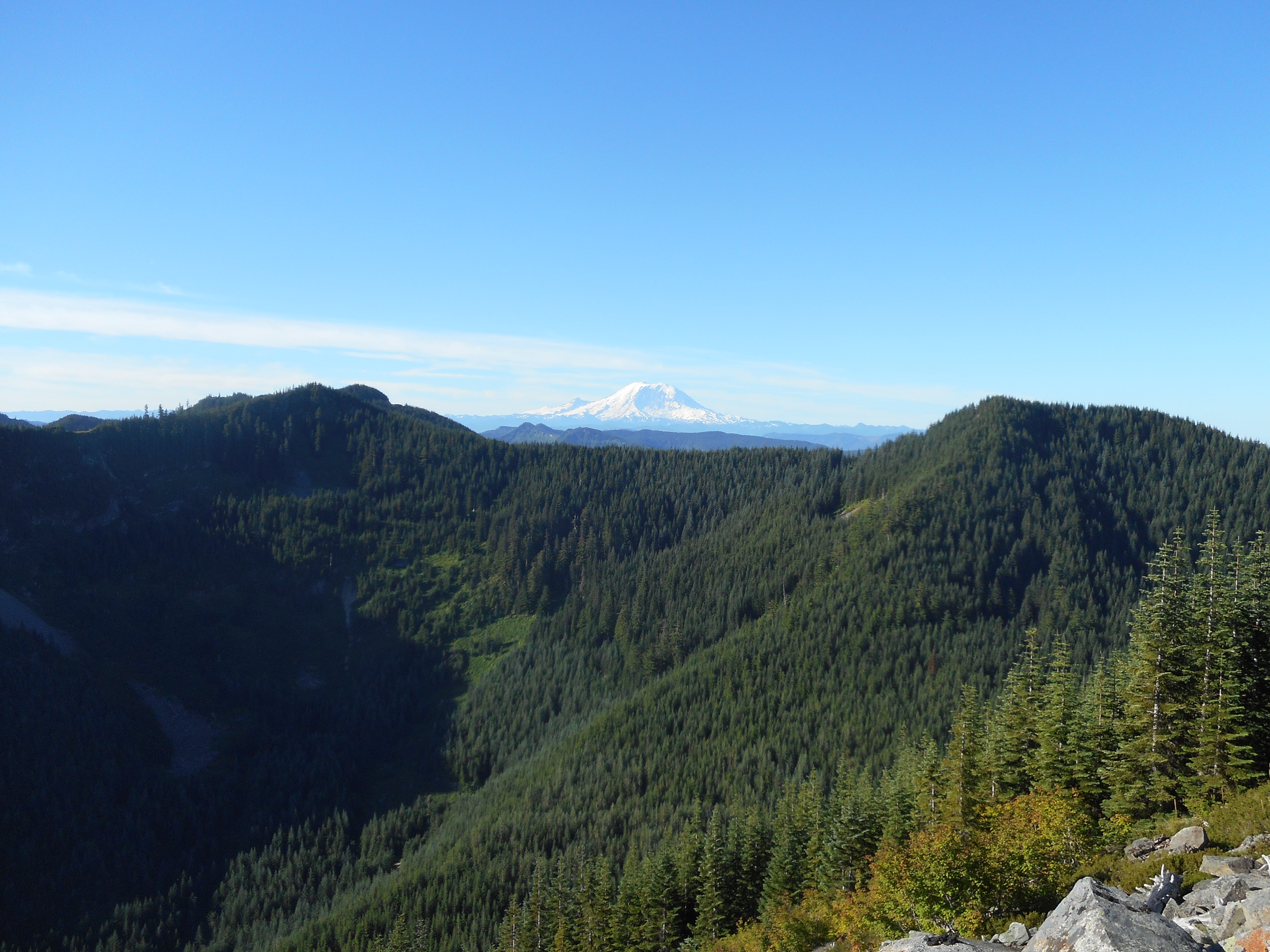
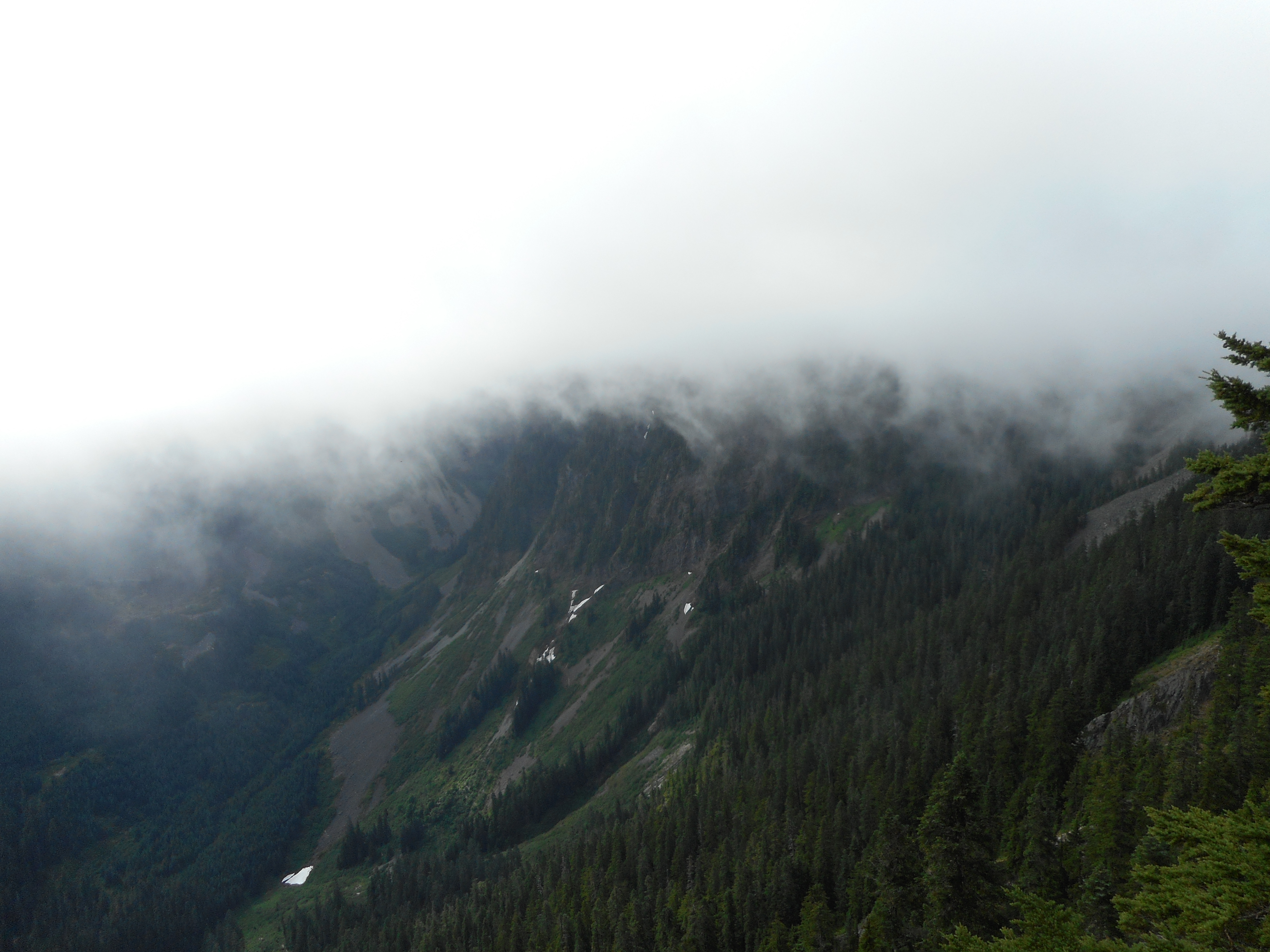
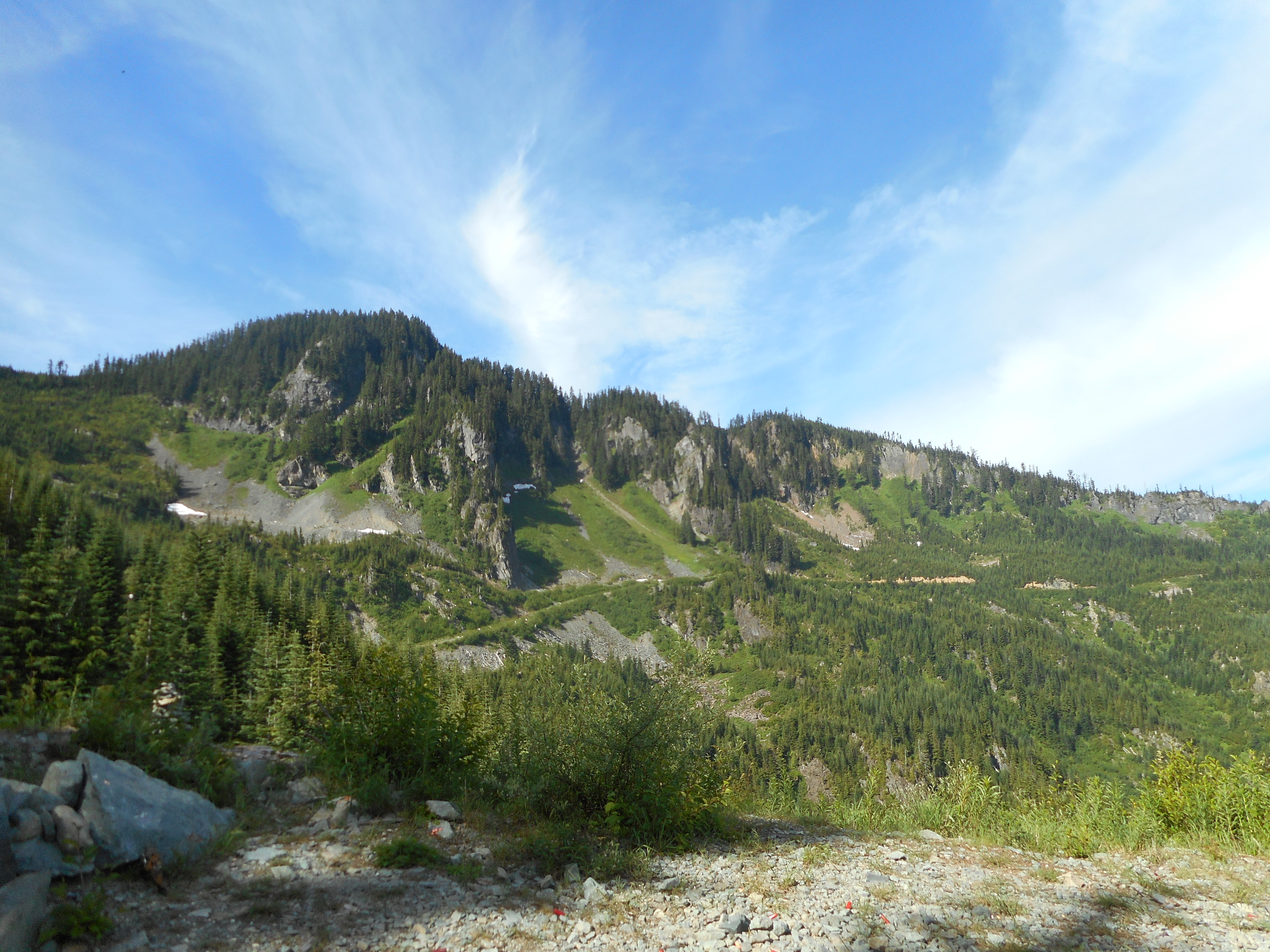
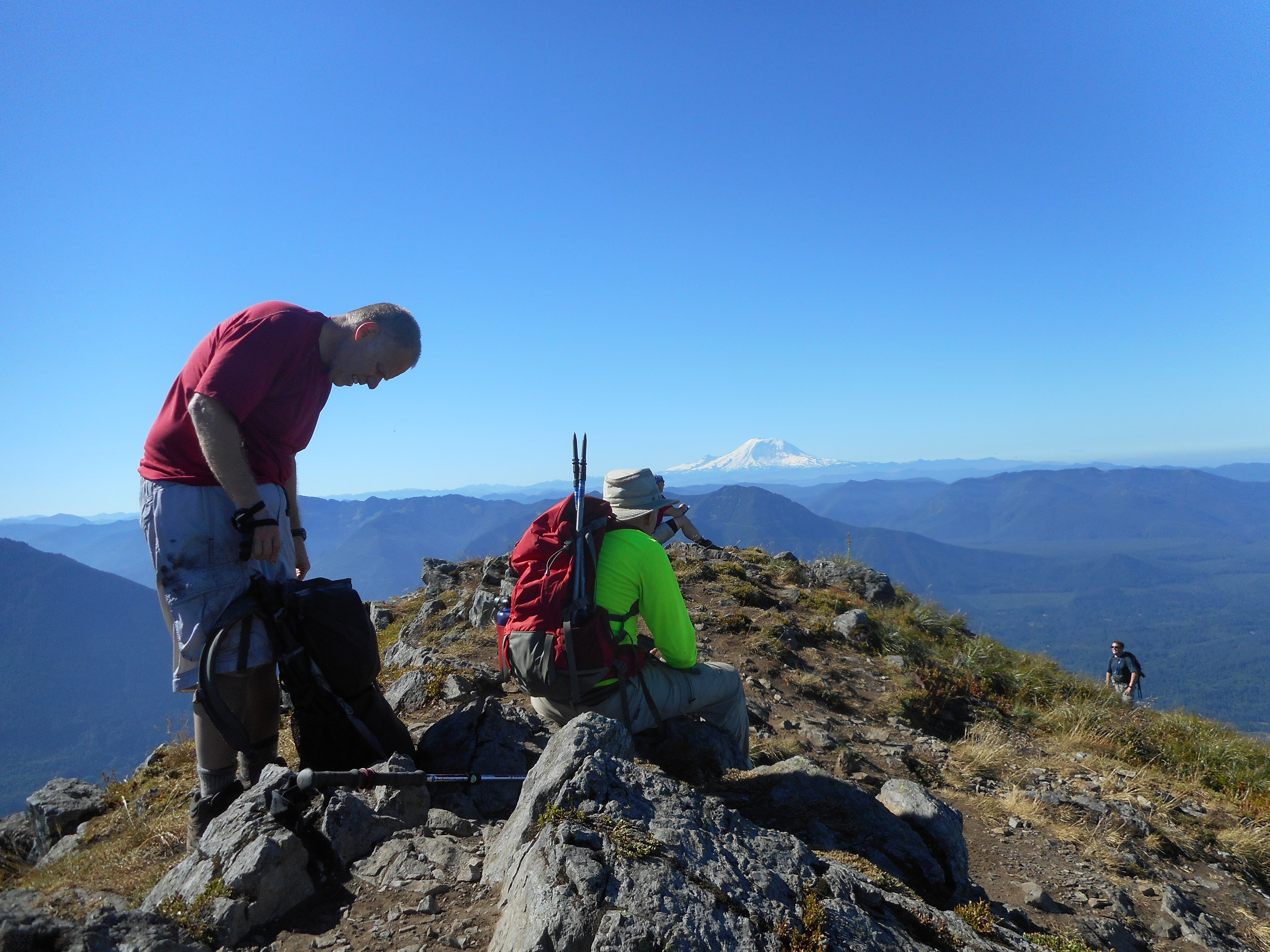
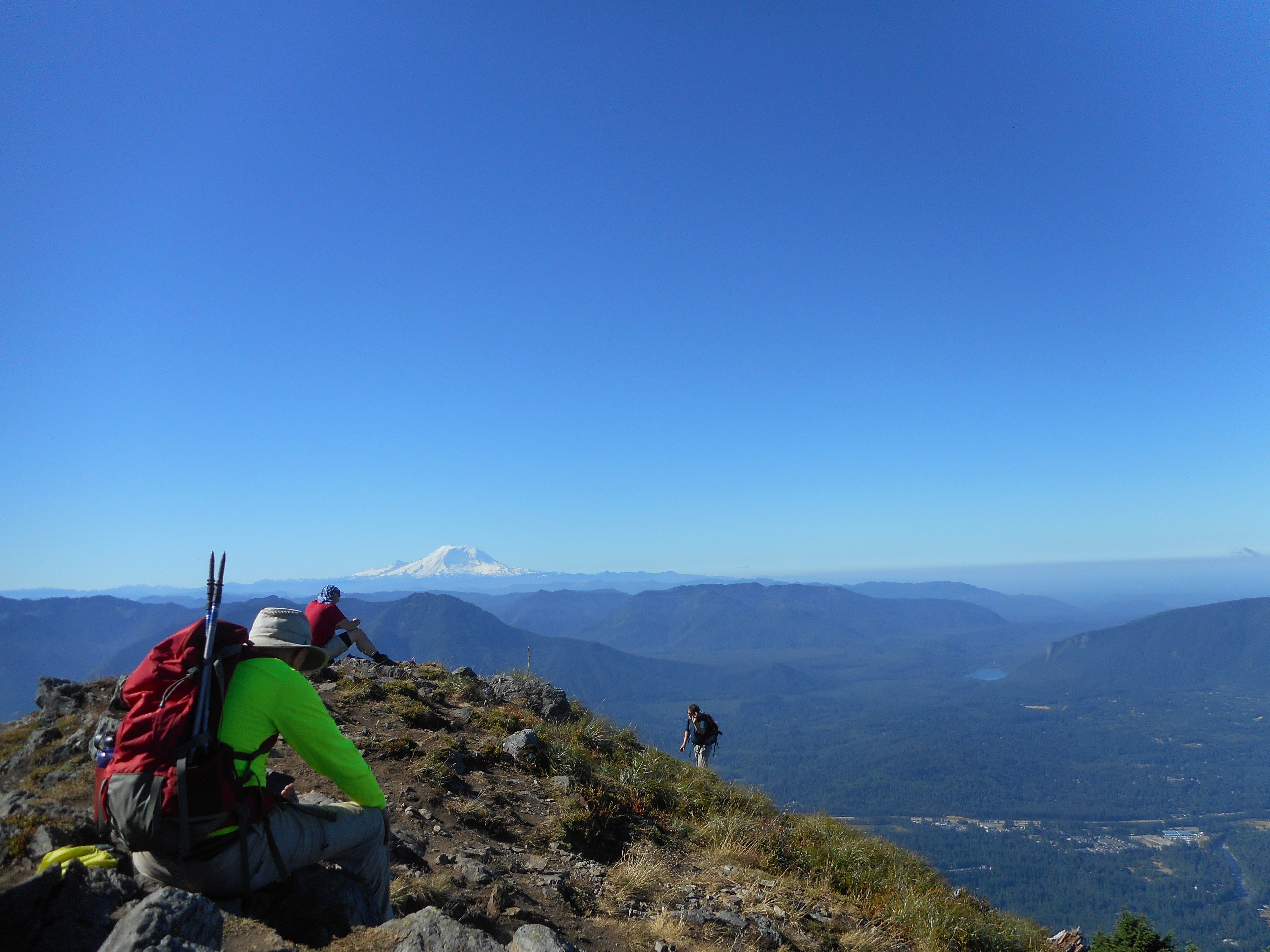
This was Ken and Carl’s first time on Teneriffe and they loved the awesome views at the summit. It is a very challenging hike since you gain about 2,000 feet in elevation in a bit less than a mile – though when you are doing it, you are certain it is much more than 5,280 feet. But I measured the start of the Kamikaze at 3.1 miles and 2,700 feet of elevation, and the summit was 4 miles and just under 4,800 feet high.

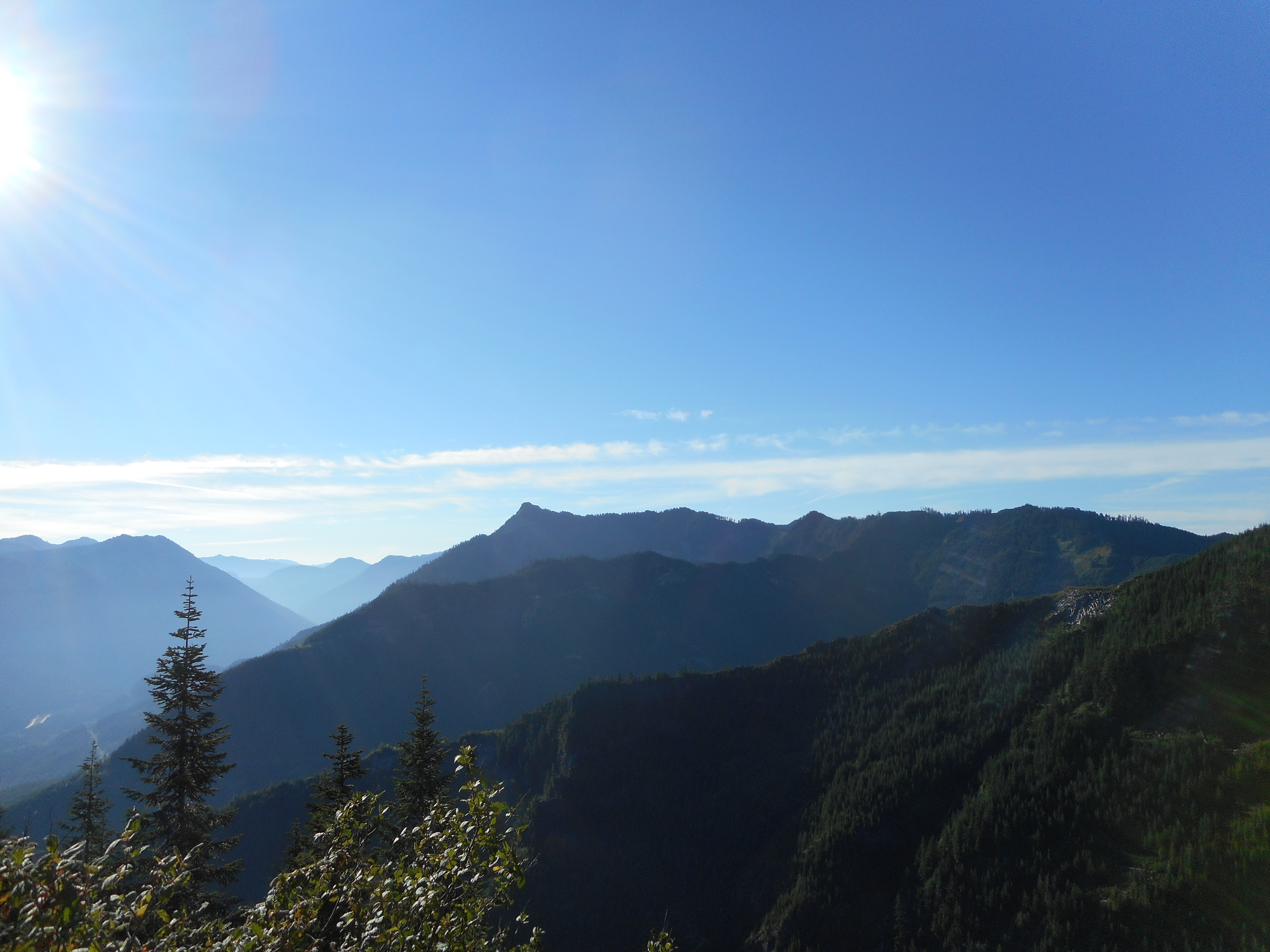
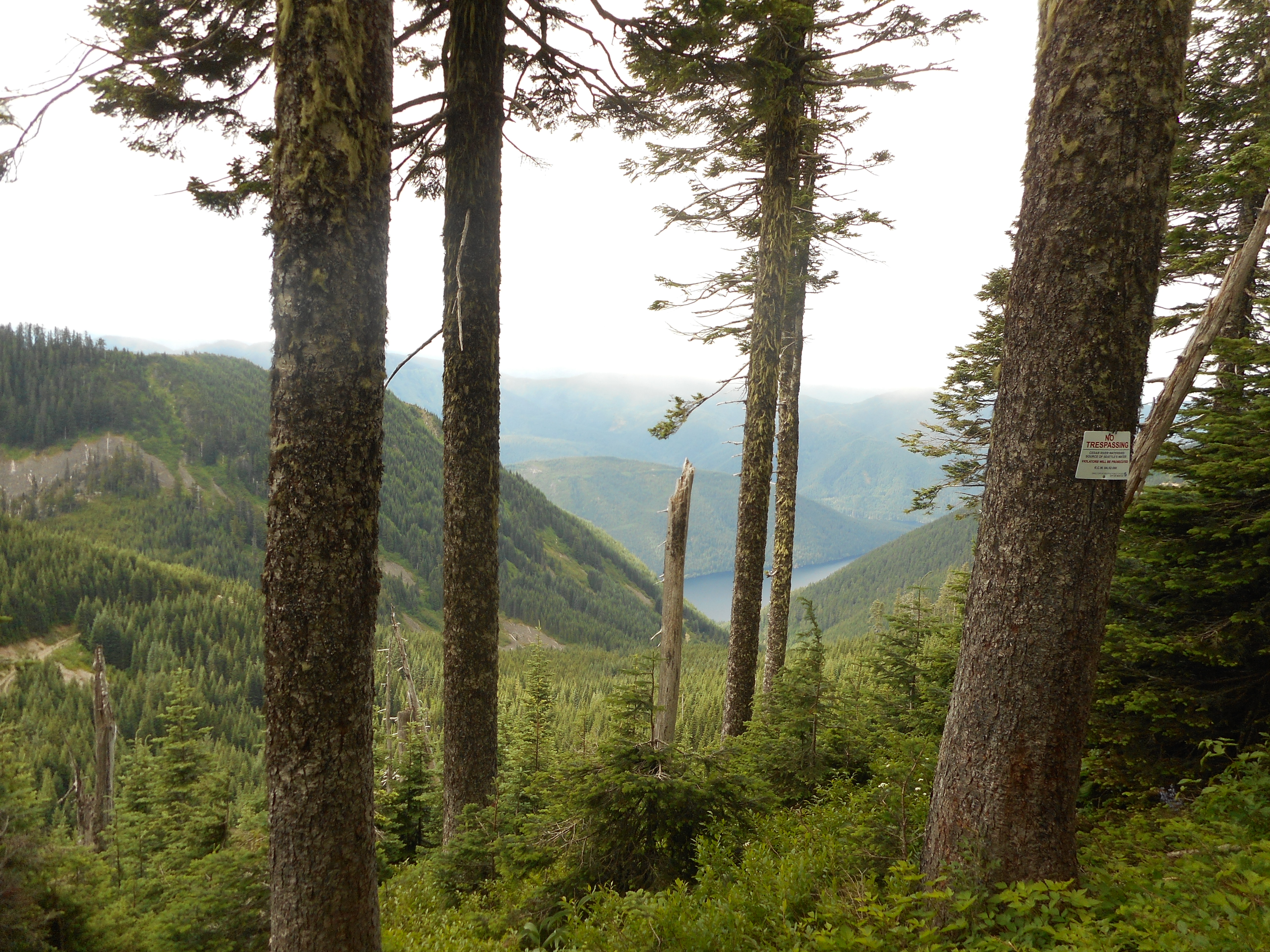
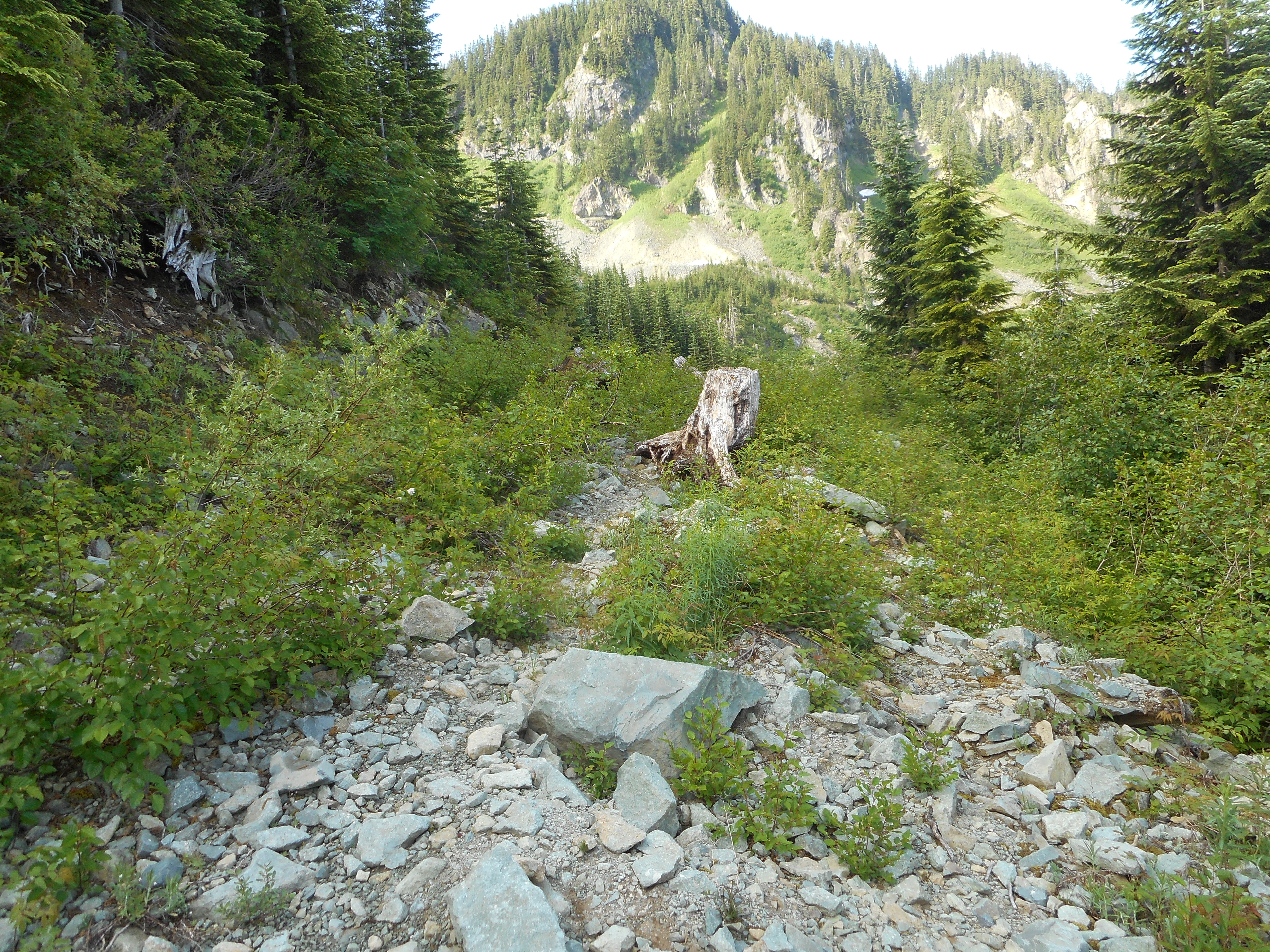
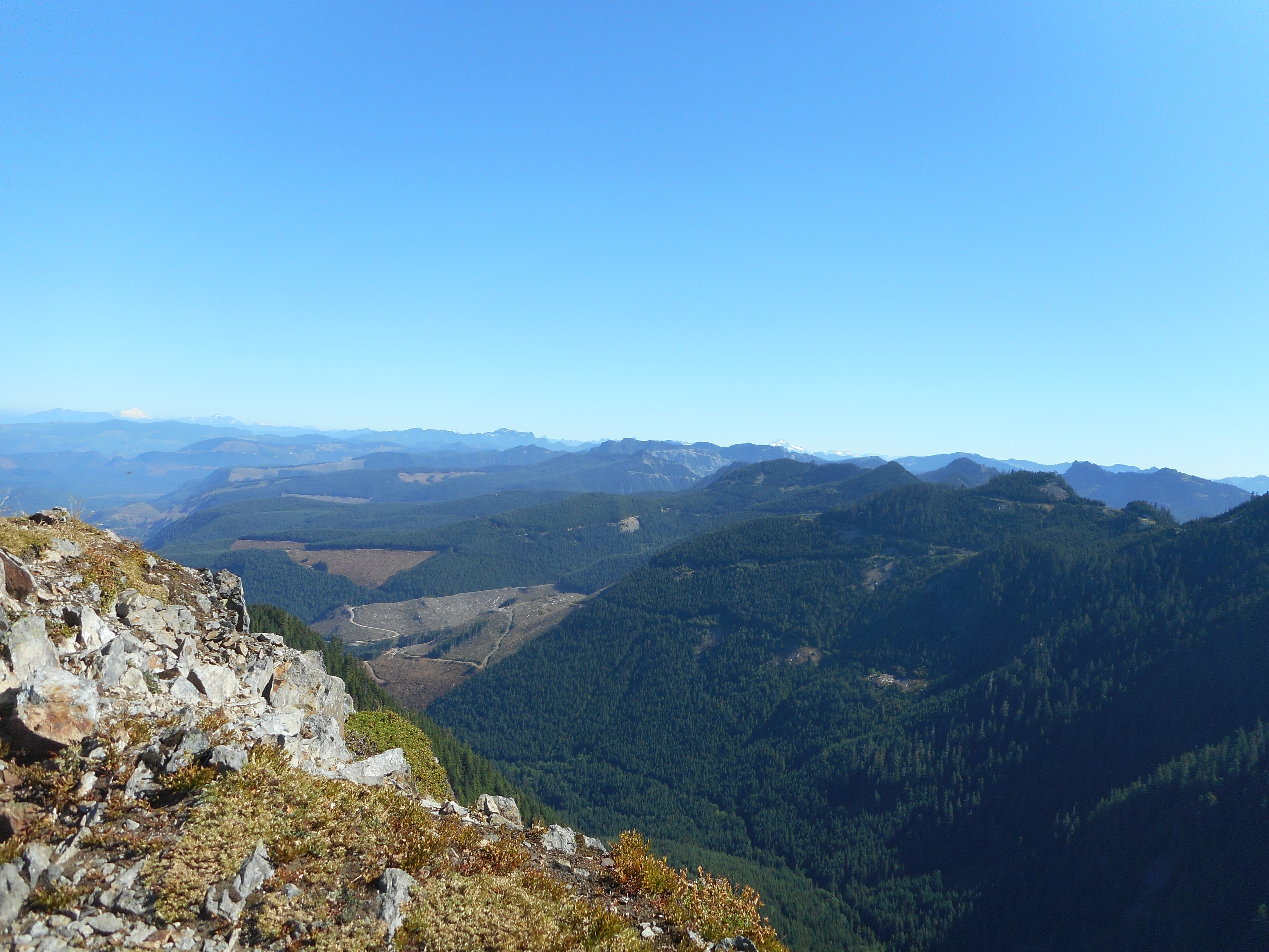
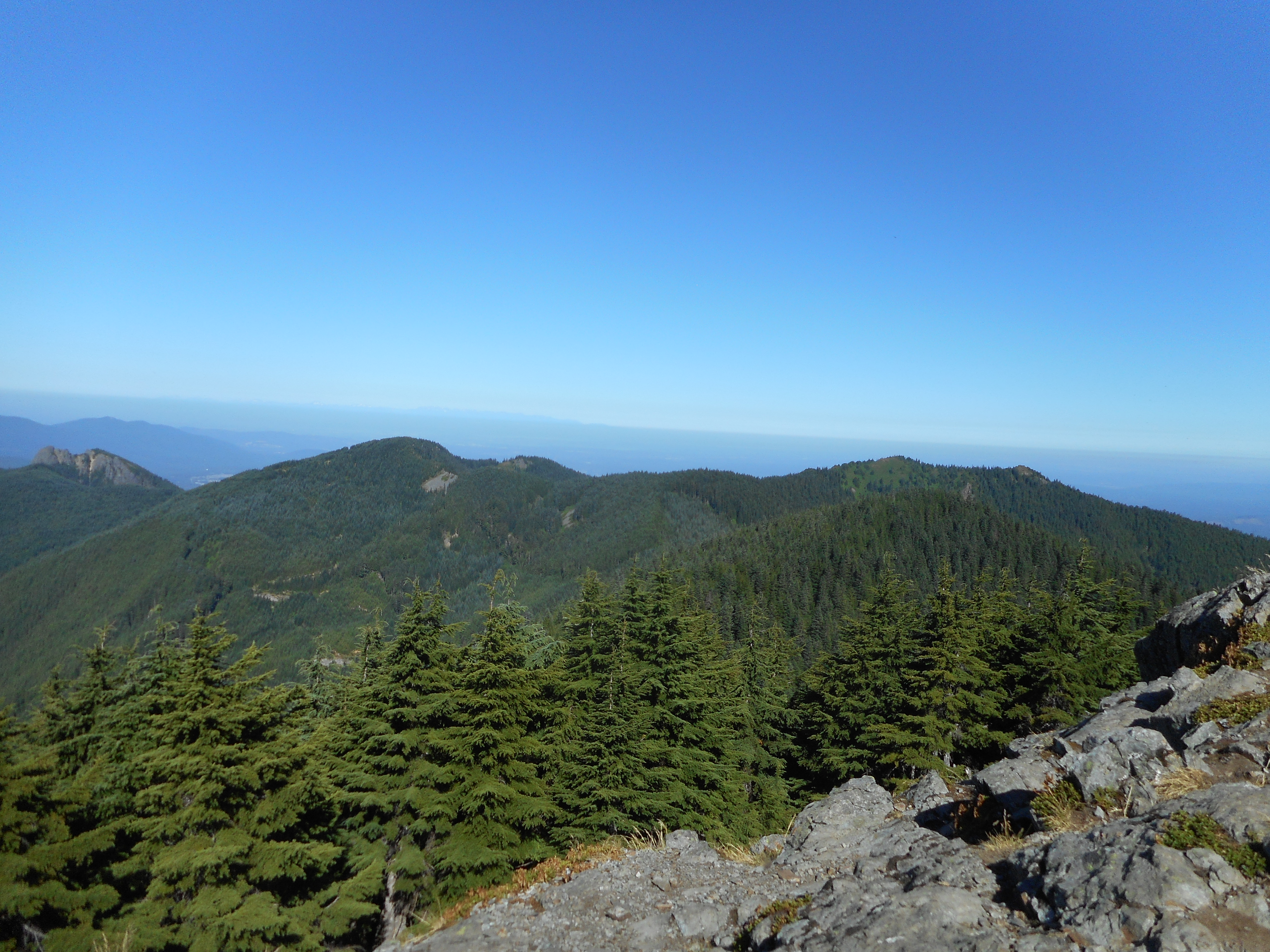
Anyway, we took the long way down and it is a long way, about 7 miles, or just under that. Plus, you lose elevation as you leave the Teneriffe summit but then gain some of it back as you hike by the summit of West Teneriffe.

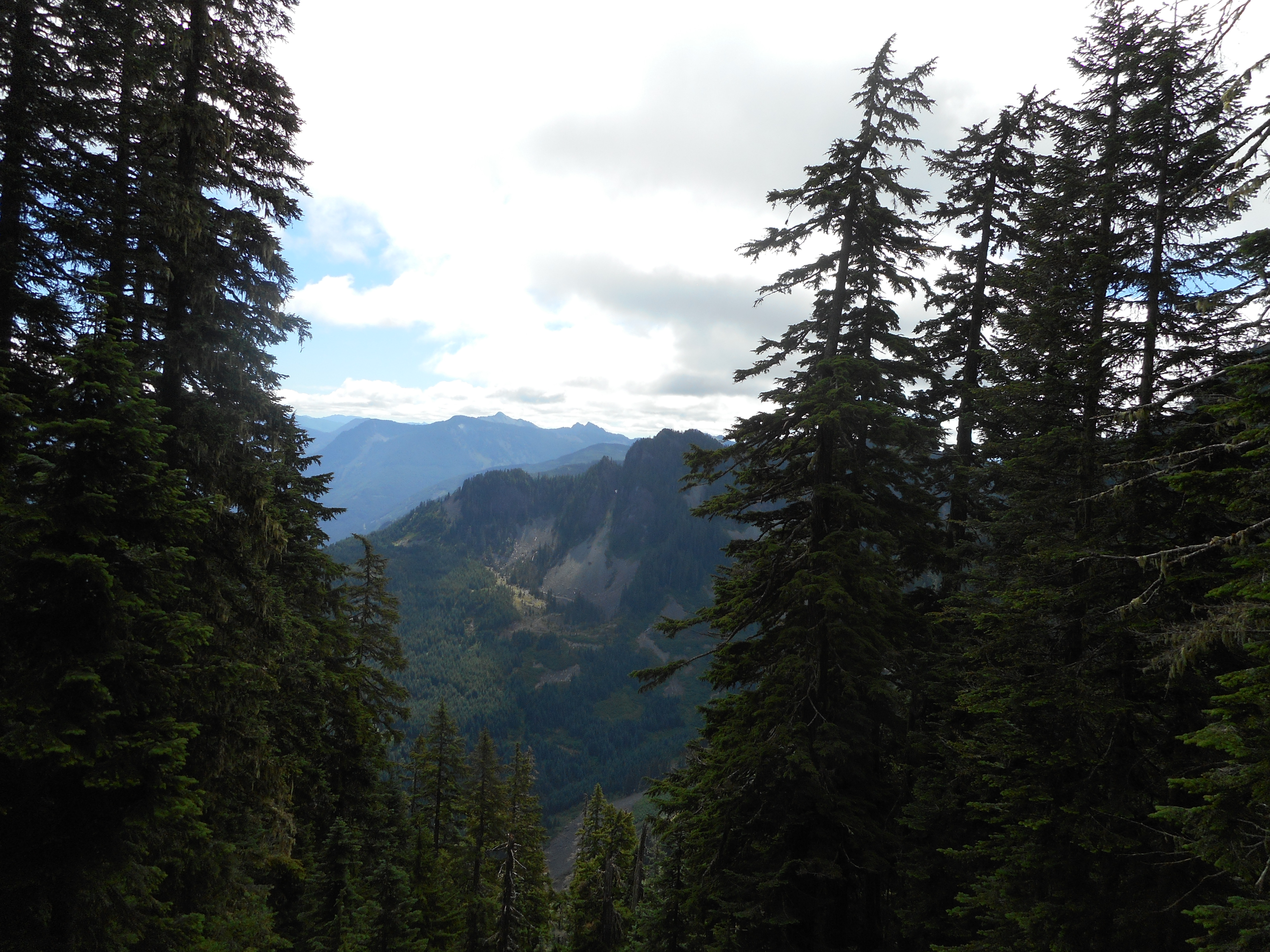
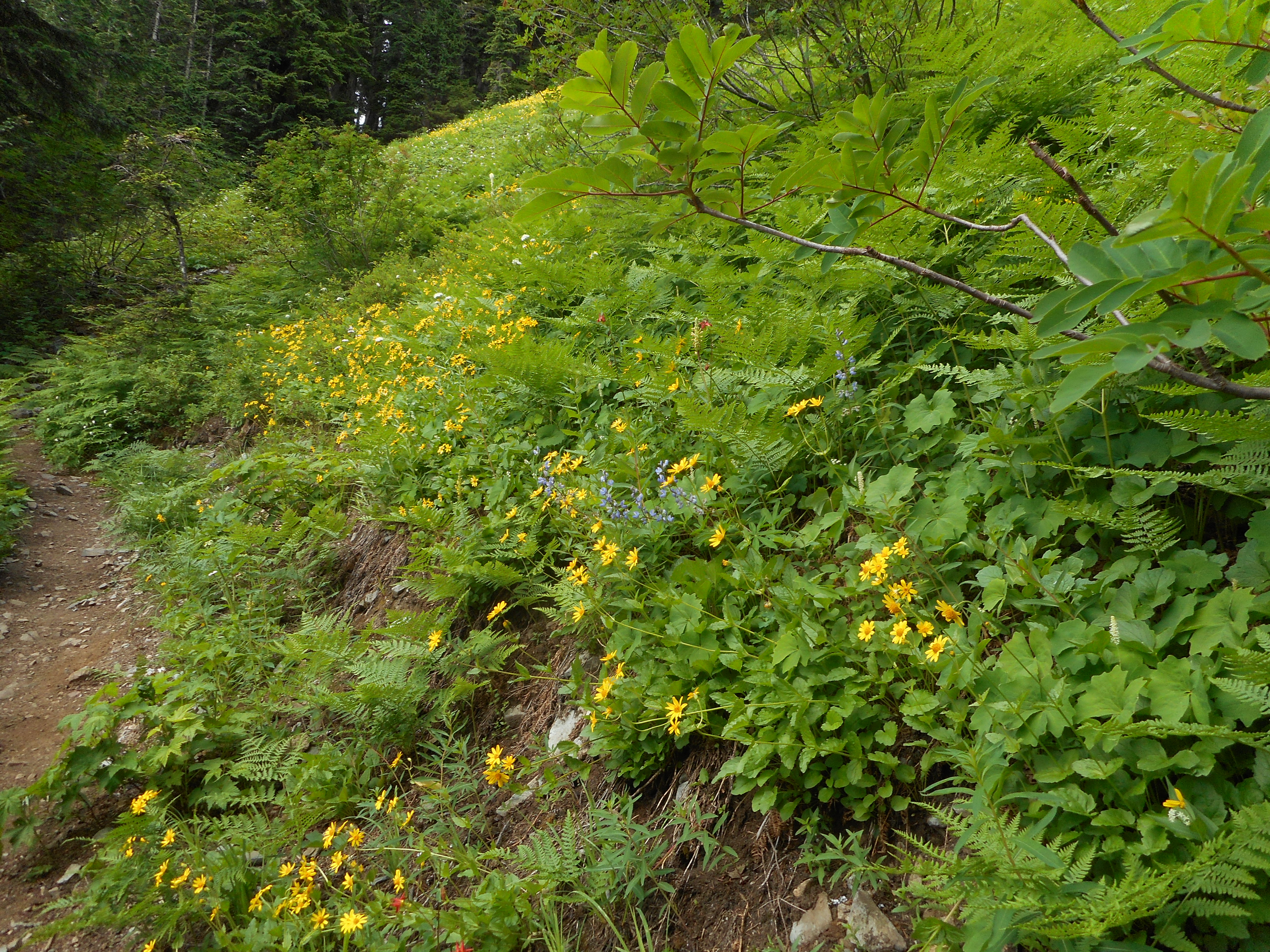
About 4K elevation gain, 6 hours for the loop on a gorgeous July day. The views at the top could not have been more wonderful.

Northeast View
Northeast View
Northwest View
Northwest View
Rainier
Rainier

Here is the track – note the elevation profile on the lower right.

https://adventures.garmin.com/en-US/by/djhiker/tenerriffe-via-kamikaze-trail-7-29-2017#.WX0A81GQypo

Change Peak 7/26/2017

Rainier from Change Peak

I did a solo hike up to Change Peak today, via the standard route: Mt. Washington trail to Great Wall connector, to the Great Wall, and up the unofficial Change Peak trail to the summit of Change Peak.

Sadly, I screwed up saving the track somehow – it isn’t on my Garmin – but by good chance I took mileage readings today at key points.

I parked in the Exit 38 Mt. Washington lot. From there to the Mt. Washington trail was .3 miles. 1.65 miles to the former Sallal View trail; 1.9 miles to Owl View; 2.3 miles to Great Wall connector; 3.5 miles to the Great Wall (that is, 1.2 miles on the connector trail); 4.8 miles to the Change Peak Trail; and the Change Peak trail is .3 miles, but highly unofficial and involving a scramble up and over some boulders.

So about 10 miles round trip. Nice hike, I saw no one all the way up and only 3 people on the way down, and that was after I hooked back up with the Mt. WA main trail. Sweet.

Great, sunny and warm day but I left my car to go up the trail at 5:25 am so most of the elevation gain was before it got hot.

Perfect views, and the Great Wall connector trail is still one of my favorite forest trails.

5.5 hours all told.

Little View Point
Little View Point
Looking West
Looking East
Part of the Mountain

We are going to hike somewhere Saturday, not sure where.

McClellan Butte/Salmon Lake 7/22/2017

Misty at the Summit
Misty at the Summit

I hiked today with Carl and we had a great time.  We drove up the service road that the McClellan Butte trail crosses about 1.5 miles from the trail head and hiked from there.

Sadly, my Garmin misfired again so the hike looks like a 41-miler from my house to the summit and back to the car. But that’s OK, I know we did about 8 miles and 3,200 feet of elevation gain.

The trail is in great shape. There are a few little piles of snow here and there but nothing that bothered us at all.

On the way down we explored the area just south of Salmon Lake and I hung a strip of pink flagging tape as a guide to when we bushwhack up from the west.

Lots of people on the trail today, it truly is a great hike. Lots of views, lots of workout.

Northeast view
Northeast view
Chester Morse
Chester Morse
Flowers
Flowers
Old Growth 3700 feet

I am not going to link the track since it is bogus.

Looking forward to my next hike!

Little Si With Finley and her Girl Scout Troop 7/14/2017

Little Si Summit
Little Si Summit

There must be something more fun than hiking with your granddaughter and her Girl Scout Troop on a beautiful July afternoon but whatever it is escapes me.

I had the distinct privilege of hiking all the way to the top of Little Si with Finley and several of her Girl Scout Troop.  We did not set any speed records – it was about five hours start to finish.

But they all made it and it was fun the whole time.

One of these days we might go up Little Si’s big sister next door:

Big Si Next Door
Big Si Next Door

I hope I get to do another hike with these terrific kids (and their moms).

Hall Creek Gorge Circumnavigation 7/08/2017

Flowers along the trail

Fabulous hike today with Carl.

We went up Change Creek to J’s Landing, took the trail that connects J’s with the service road at 3,400 feet (not much of a road at that point, actually) then went all the way around the Hall Creek Gorge, descending via Zig Zag.

A few sections were pretty brushy but it could have been worse. Someone had trimmed back some of the worst sections since Derek and I were up there a few weeks ago. However, the bushes have grown energetically since then as well.

About 7 miles, 2,700 feet of gain (most in the first 2 miles), almost 4.5 hours, a terrific hike and workout with Carl, who had not done this hike before and enjoyed it immensely.

The track:

https://adventures.garmin.com/en-US/by/djhiker/change-creek-up-zig-zag-down-07-08-17#.WWFHW1GQypo

NF110 Fourth of July 2017

Looking West
Looking West

My plan today was to hike past the lakes Derek and I saw in early June, the day we hit Truck Summit from the south and east, and take what appears on Google Earth to be a service road that snakes up south and east to the vicinity of the western stretch of the McClellan Butte trail.

Sadly, moron that I am, I failed to bring my rain pants along and when I got to a longish stretch of total wet brush I had to choose between turning around and getting completely soaked.

I turned around because the last time I got soaked I had my rain pants to change into but this time, not so much.

So I got up to about 3500 feet, just nearing the point where the Mine Creek gorge starts to turn west, 3 miles from the car (parked at IHT and Garcia) and I could see that the only way forward was to bushwhack through wet brush. Cursing my lack of foresight I turned around, acknowledging my pathetic failure to carry through on my plan.

This is near where I turned around, before it turned into total brush:

Just Short of Where I Turned Back

The views up there are nice:

In The Clouds
In The Clouds
Northern Peaks
Northern Peaks

About the only useful thing I can say is that there is still some snow up there.  Clearly, the west side of the McClellan Butte trail is still covered in snow, and the route up there looks fairly rugged – but hopefully, doable.

The track:

https://adventures.garmin.com/en-US/by/djhiker/nf110#.WVvwwlGQypo

6.2 miles, just short of 2K elevation.