Rattlesnake Mountain Traverse 9/28/2017

Almost Sunrise
Almost Sunrise

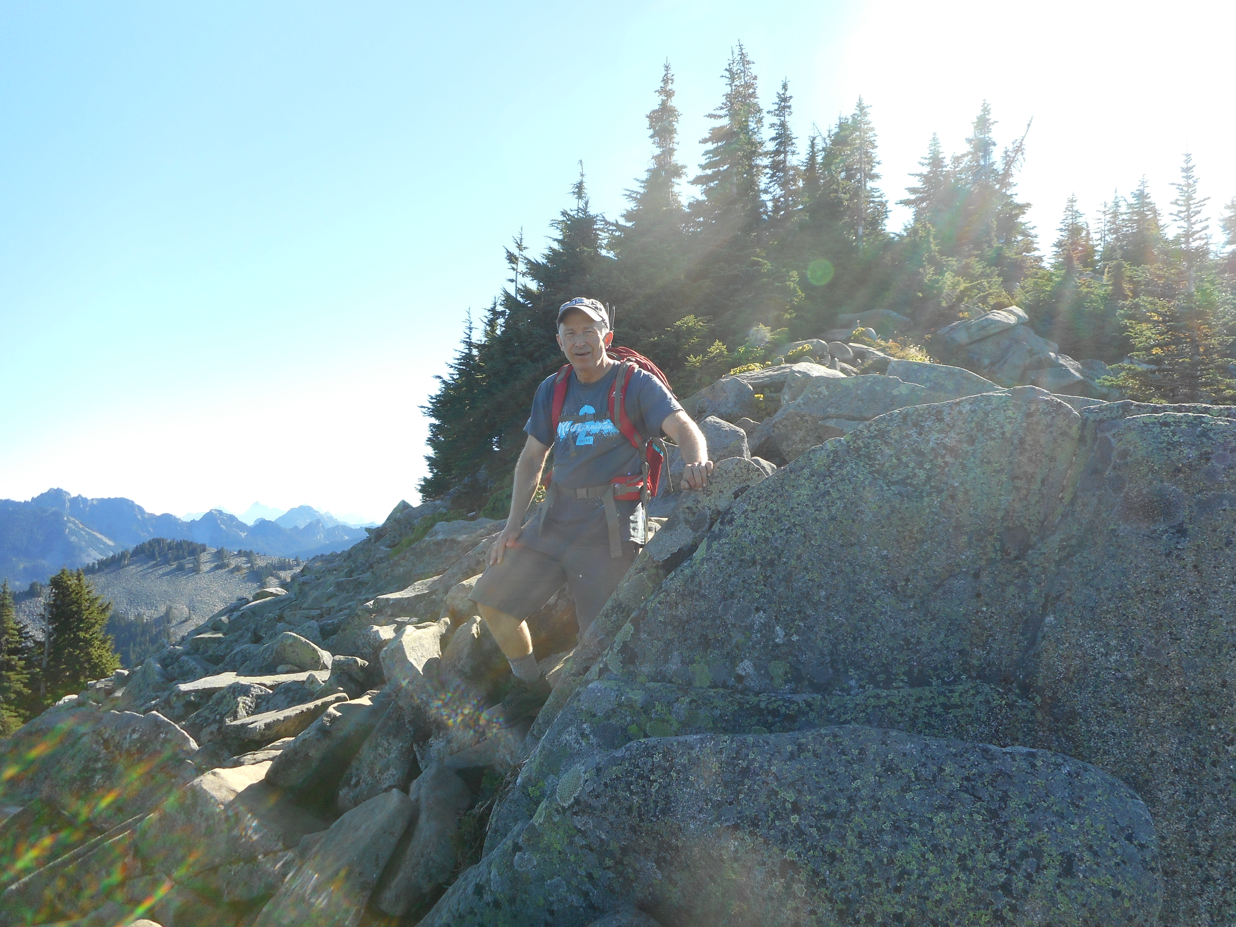
A really wonderful hike with Derek this morning. Perfect weather. Went up the old trail, Derek’s first for that route, and he is a believer. We will never go up the new trail again.

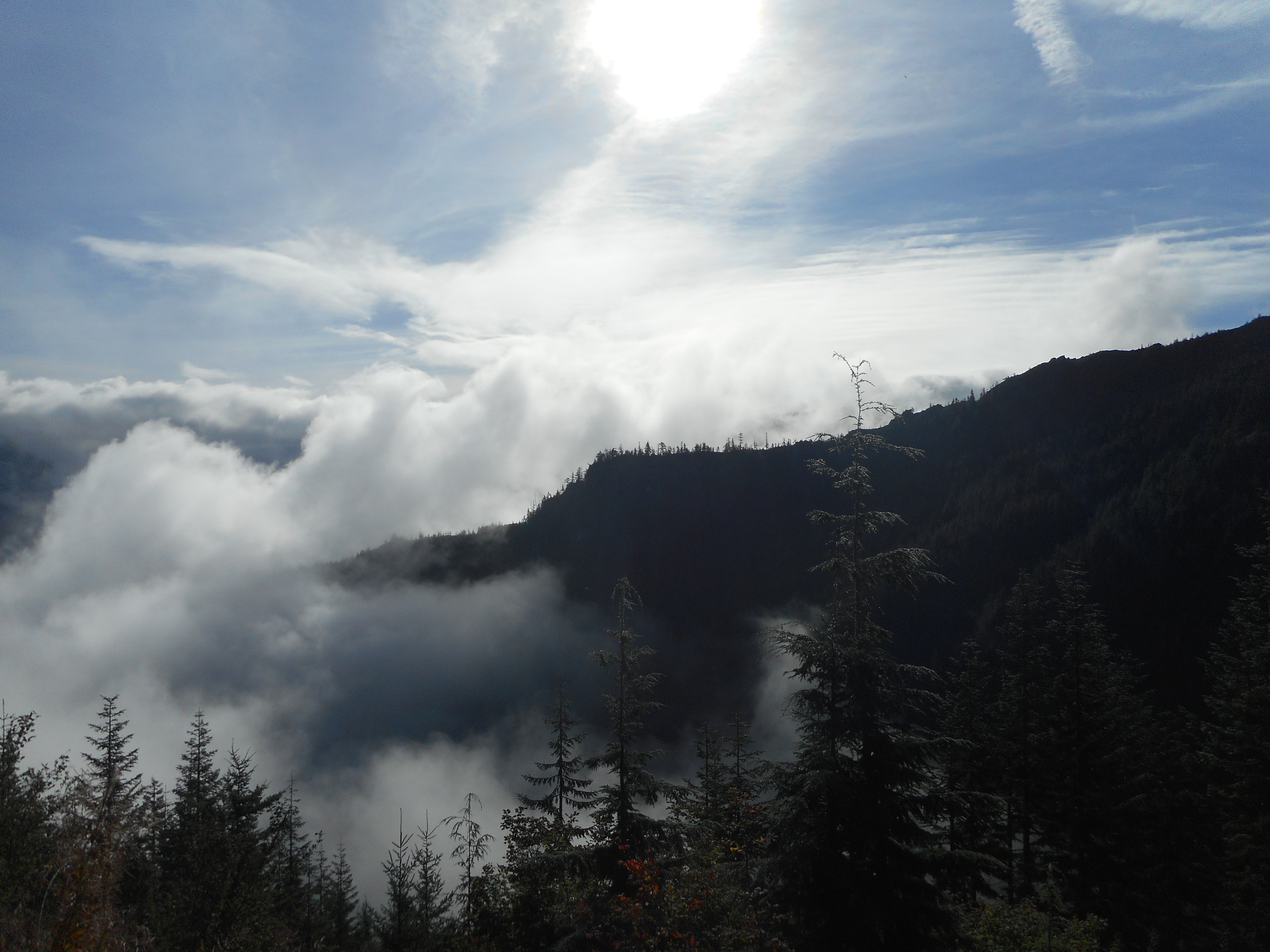
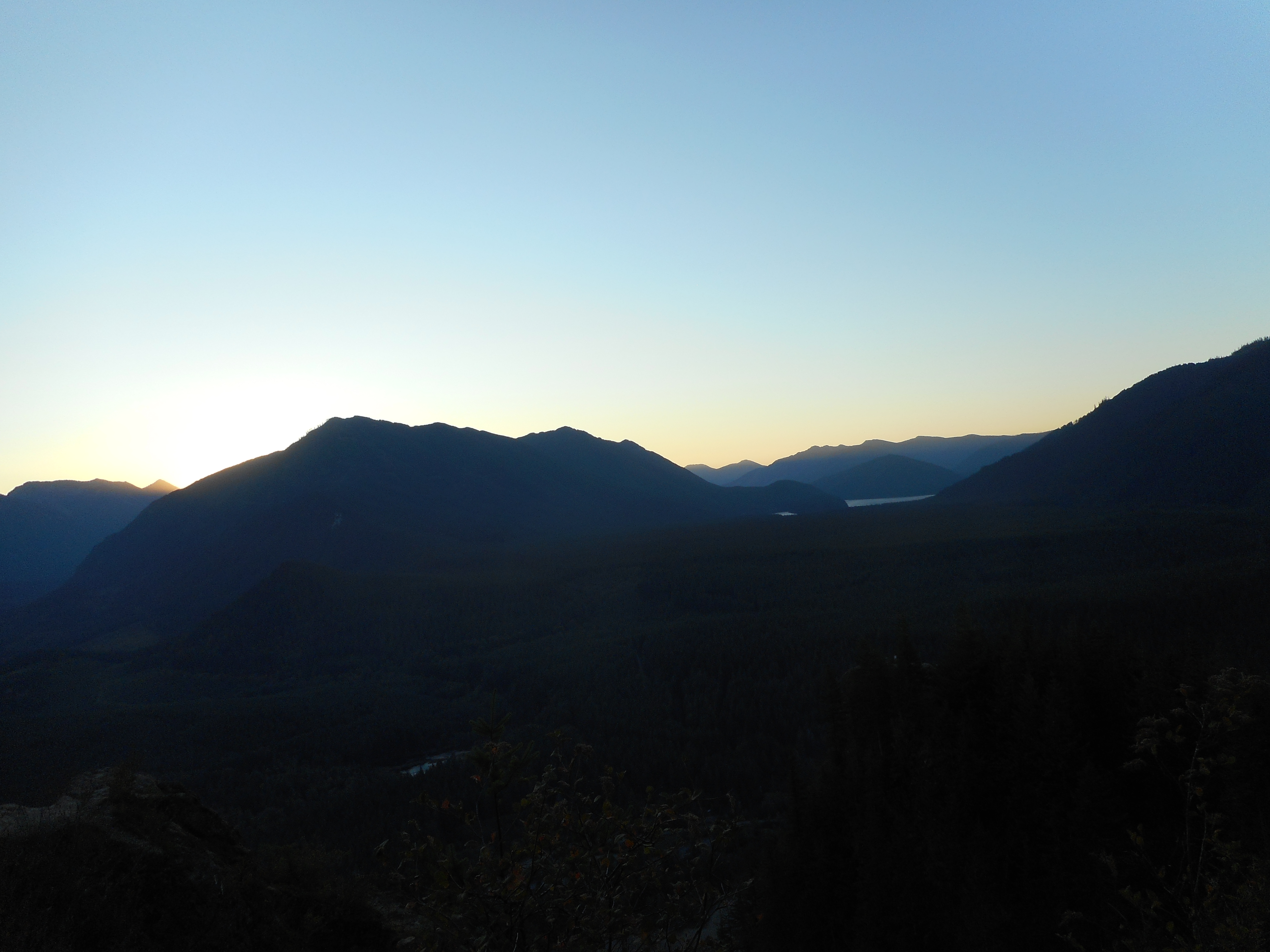
We got to the middle ledge (the one just above Rattlesnake Ledge, just below the upper ledge) just before sunrise, as you can see above.

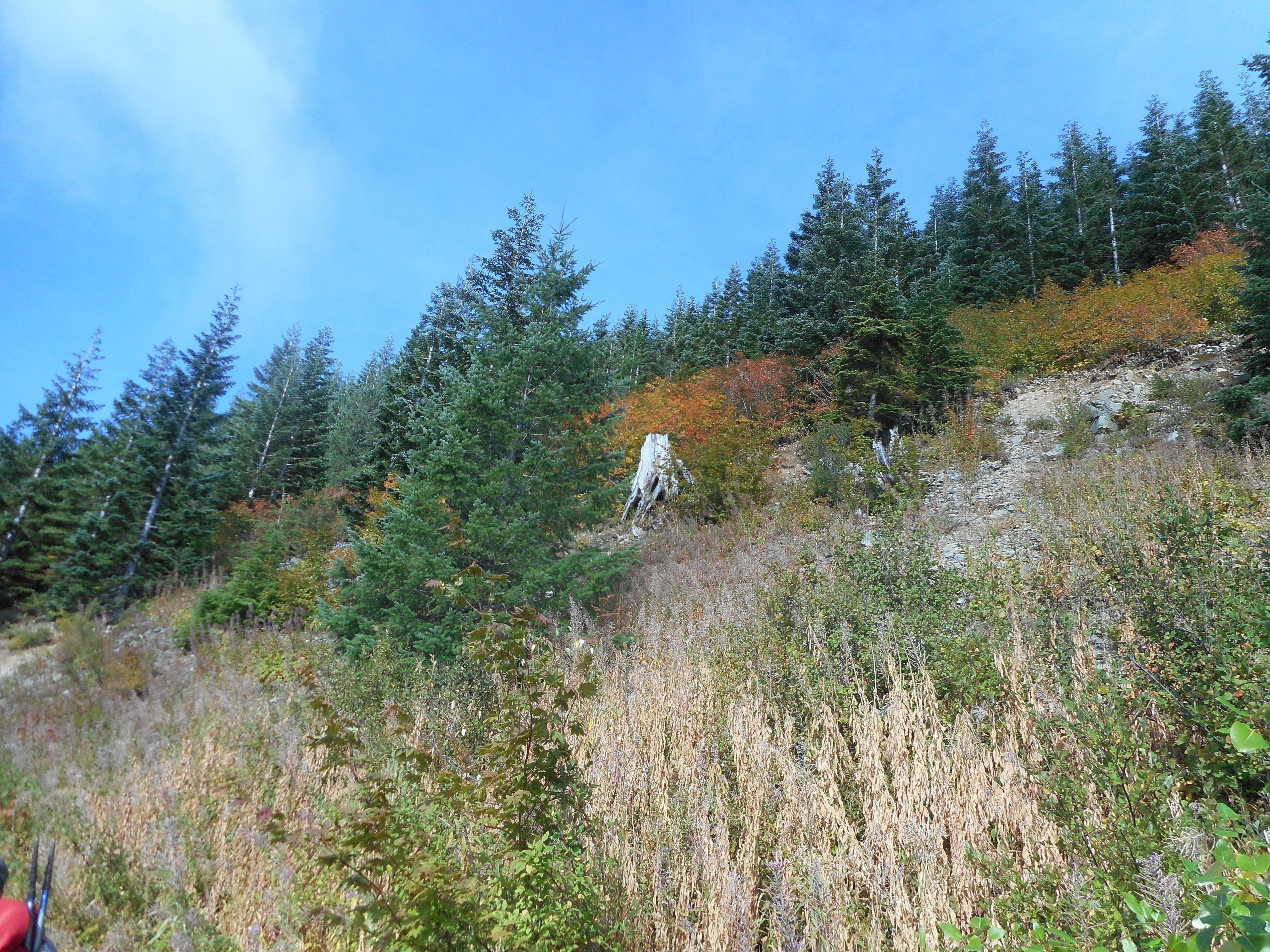
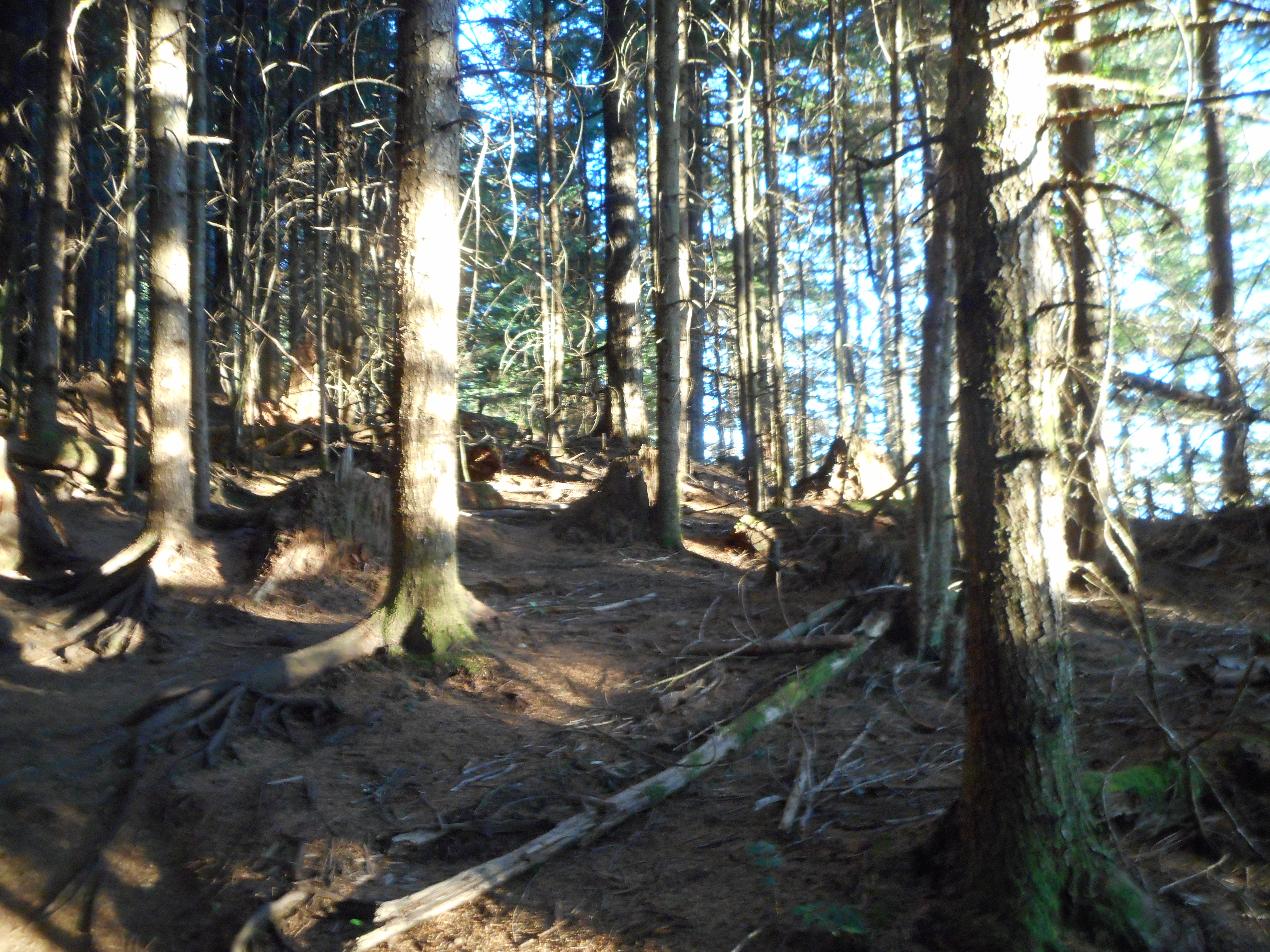
A few minutes past the upper ledge the sun had peaked above the eastern mountains and the woods were so gorgeous with the sun peeking through the woods:

Sun Dappled Woods
Sun Dappled Woods

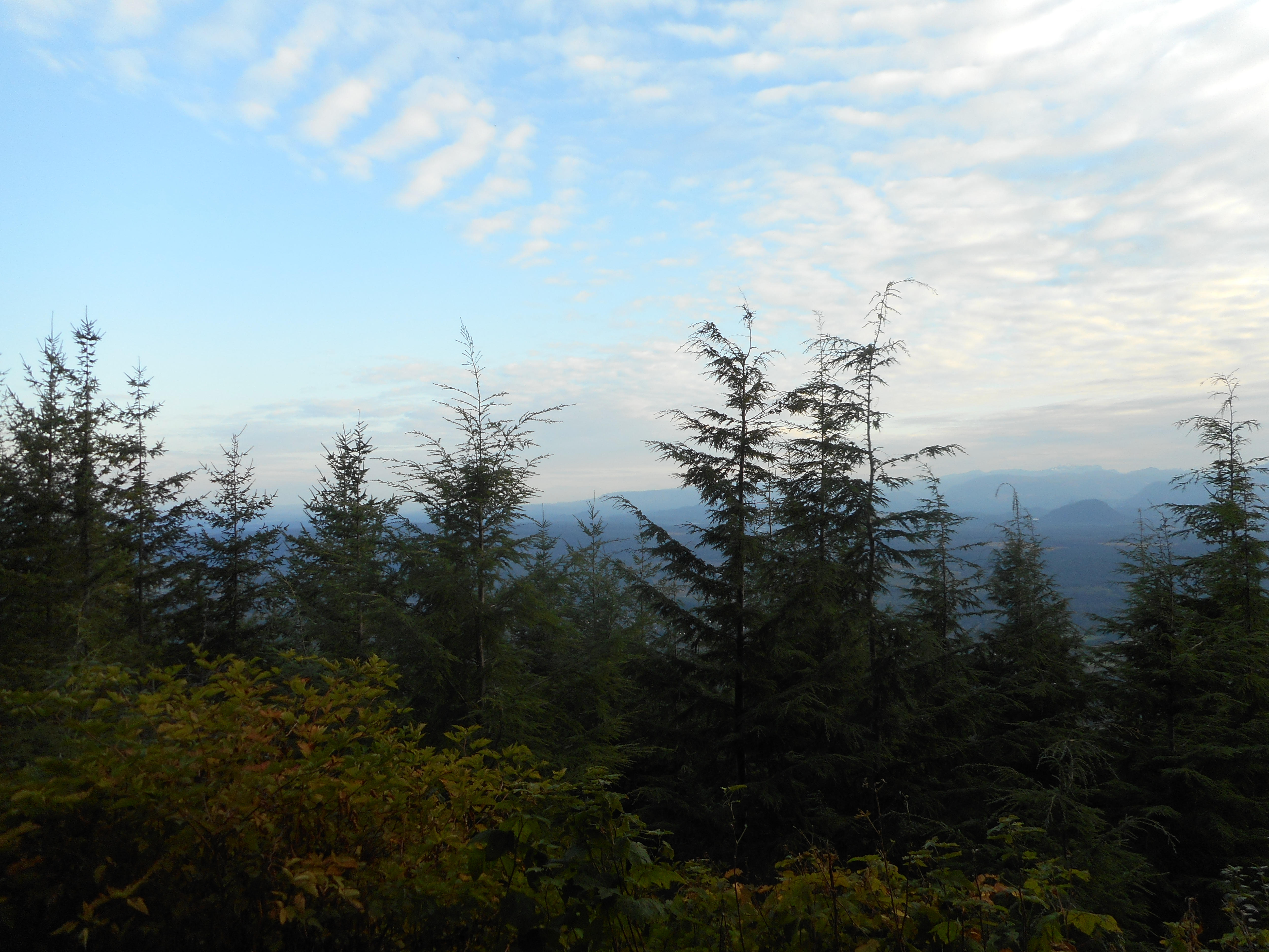
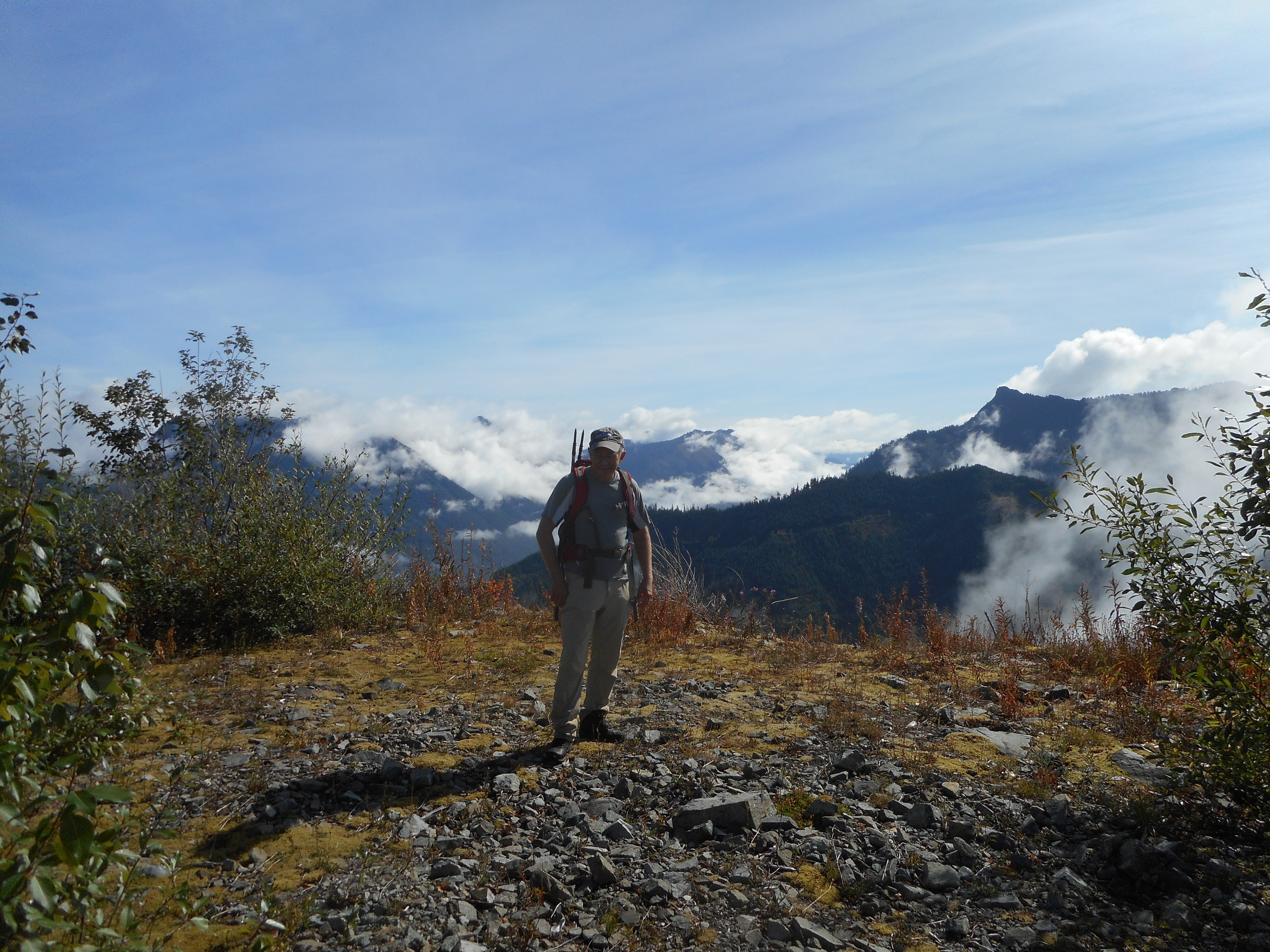
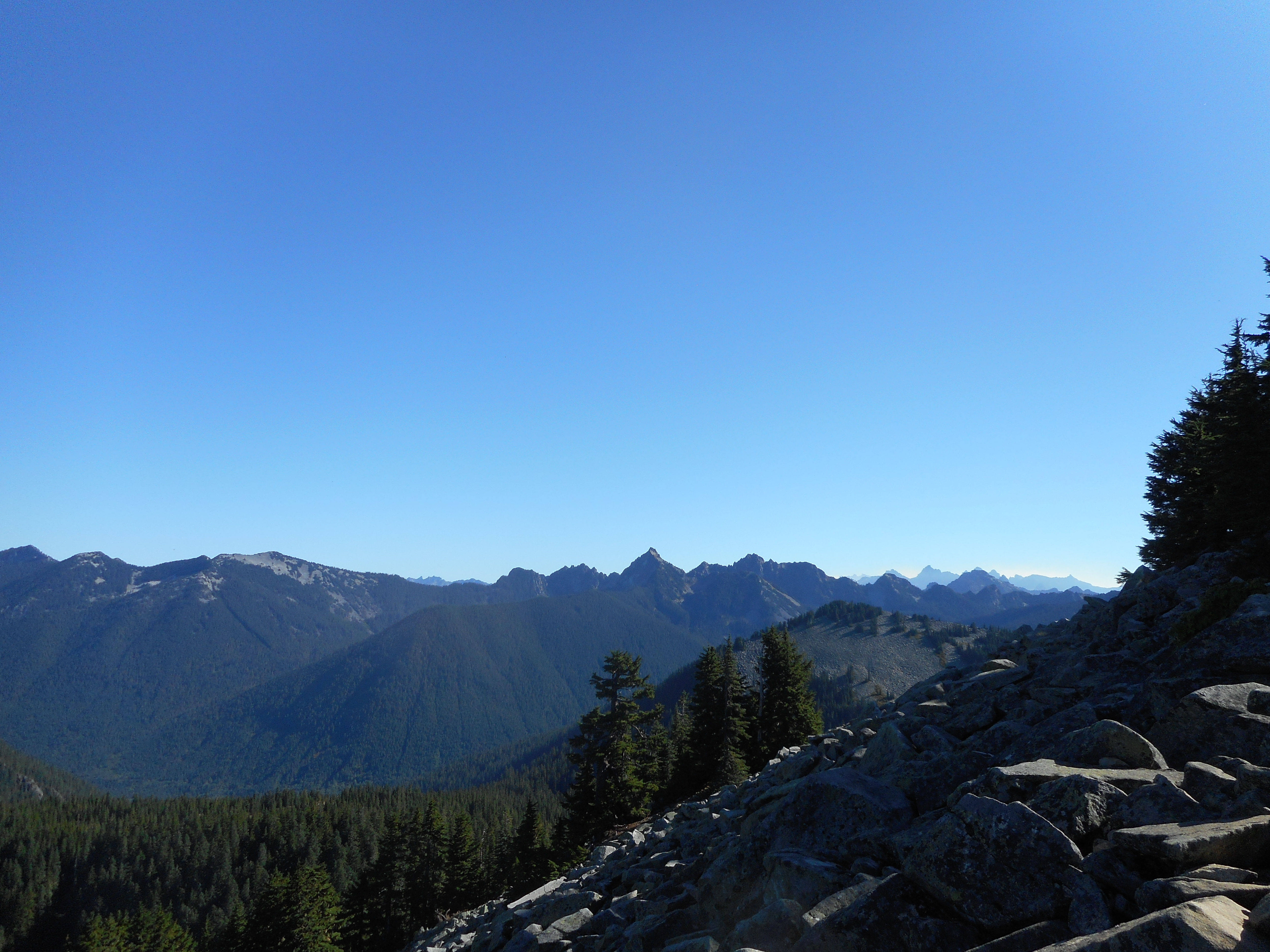
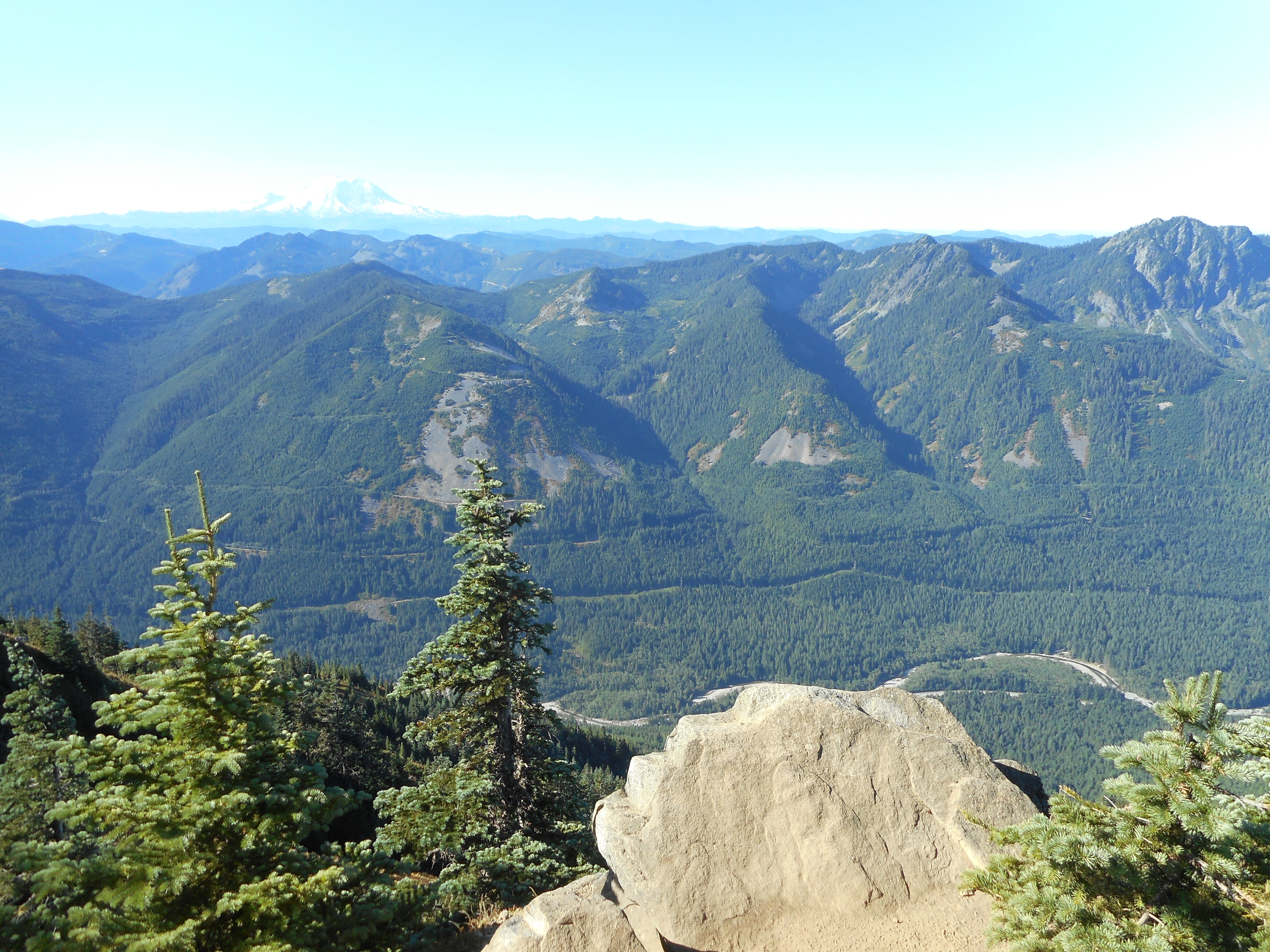
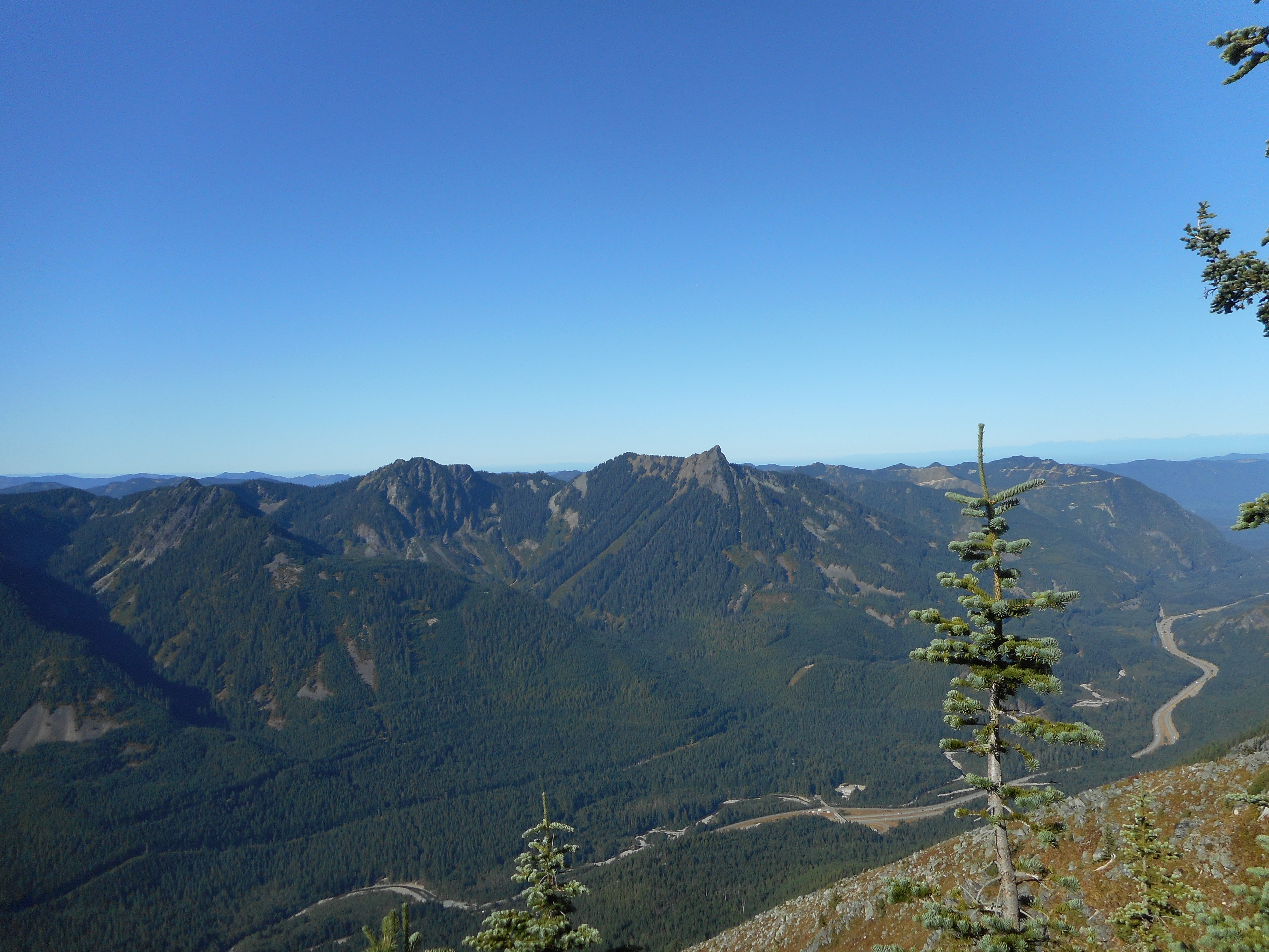
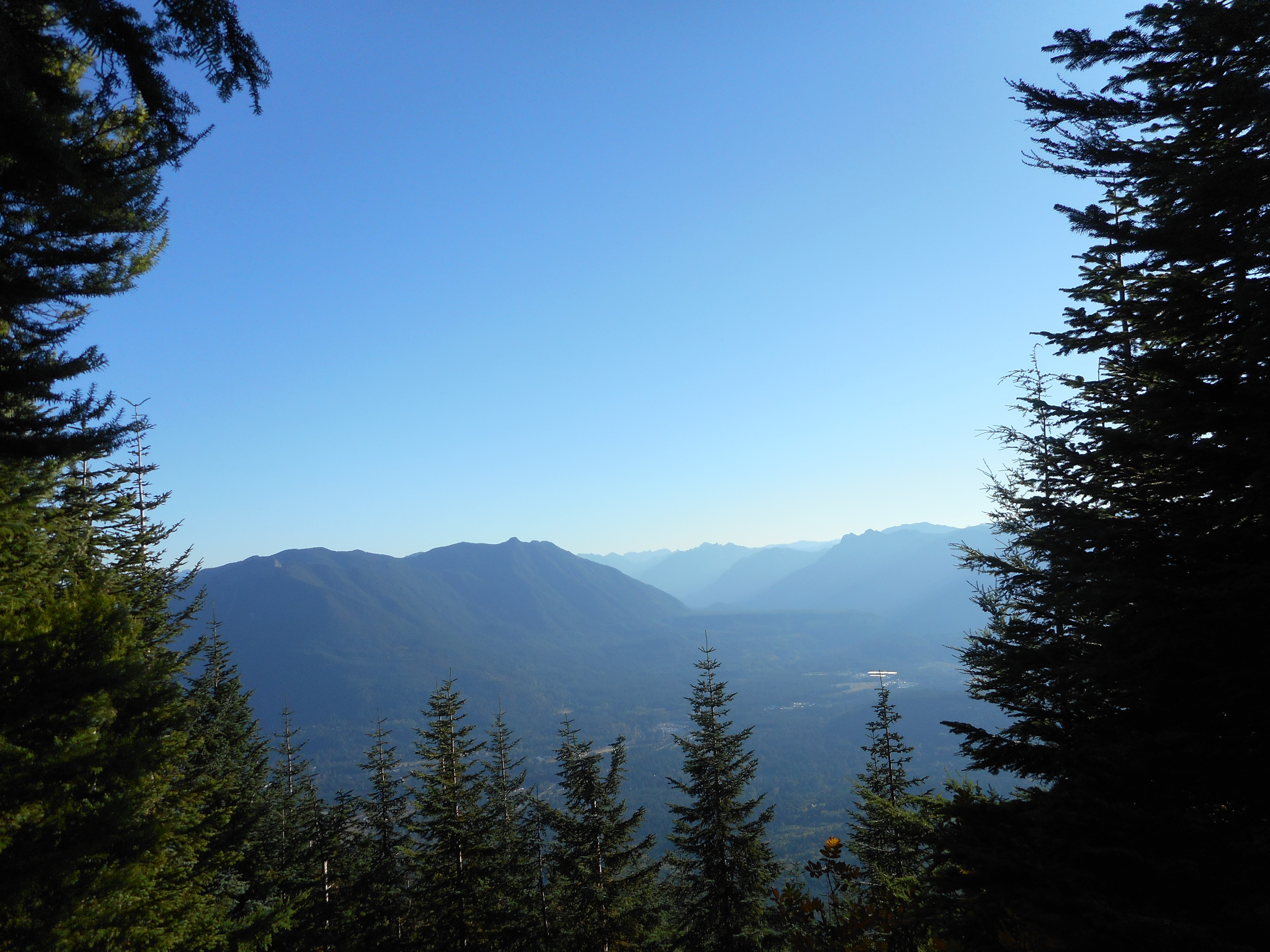
Later, there was a nice northeastern view:

Northeast
Northeast

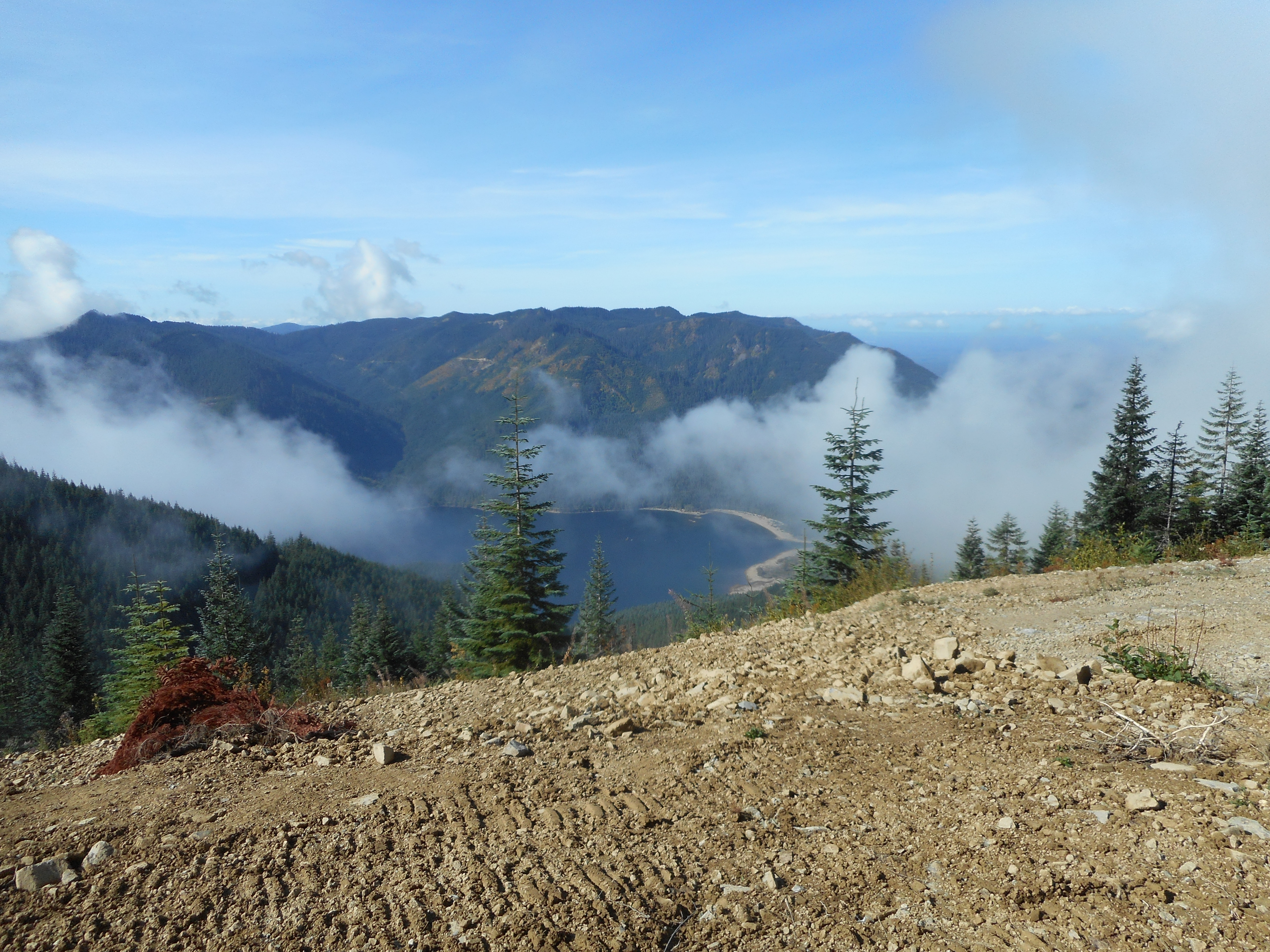
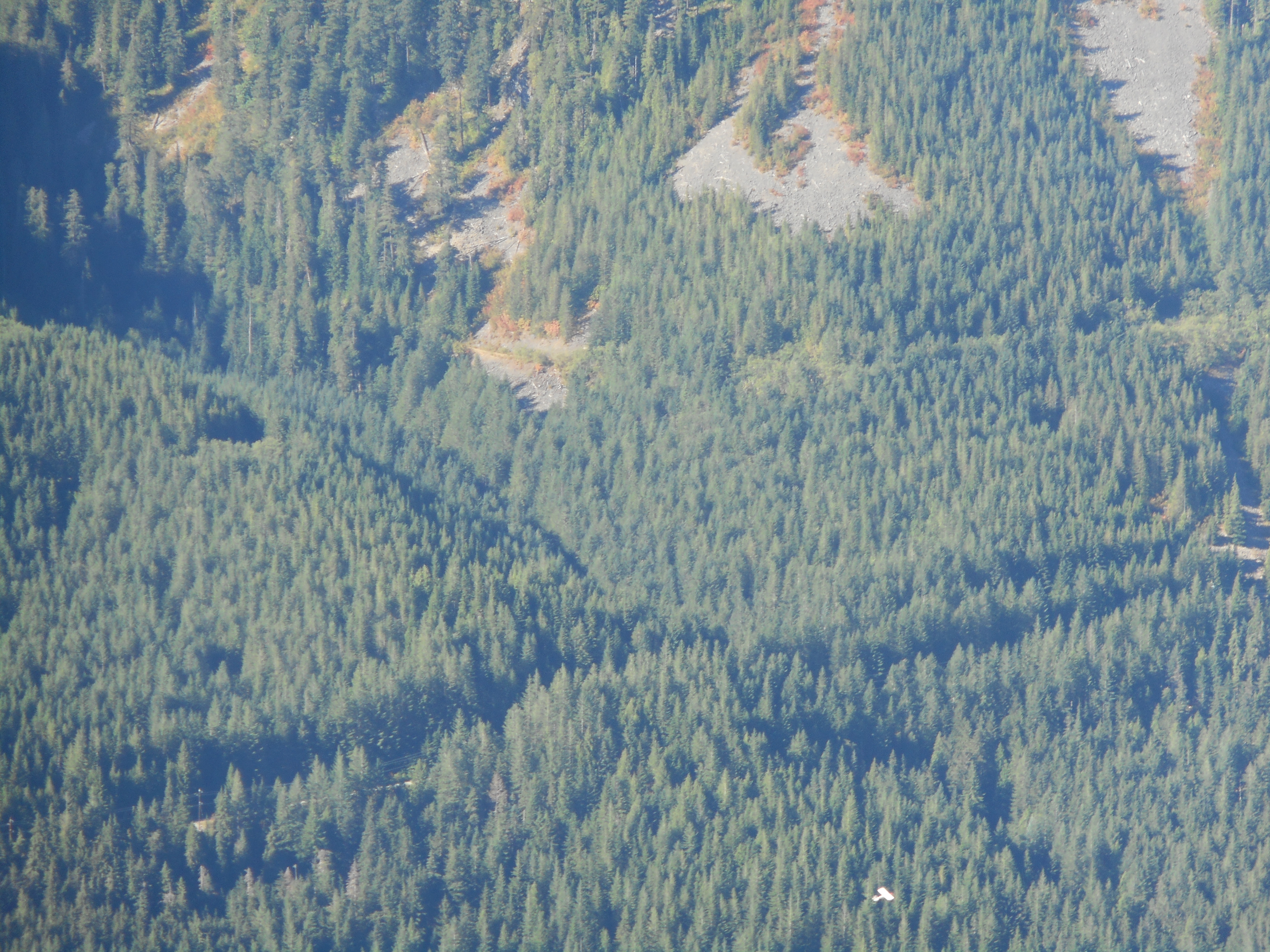
But we had to go through a clear-cut section (where they were cutting down the timber last year, when the through-trail was closed) involving ugly barrenness and a detour.

Ugly Detour and Clear-Cut Section

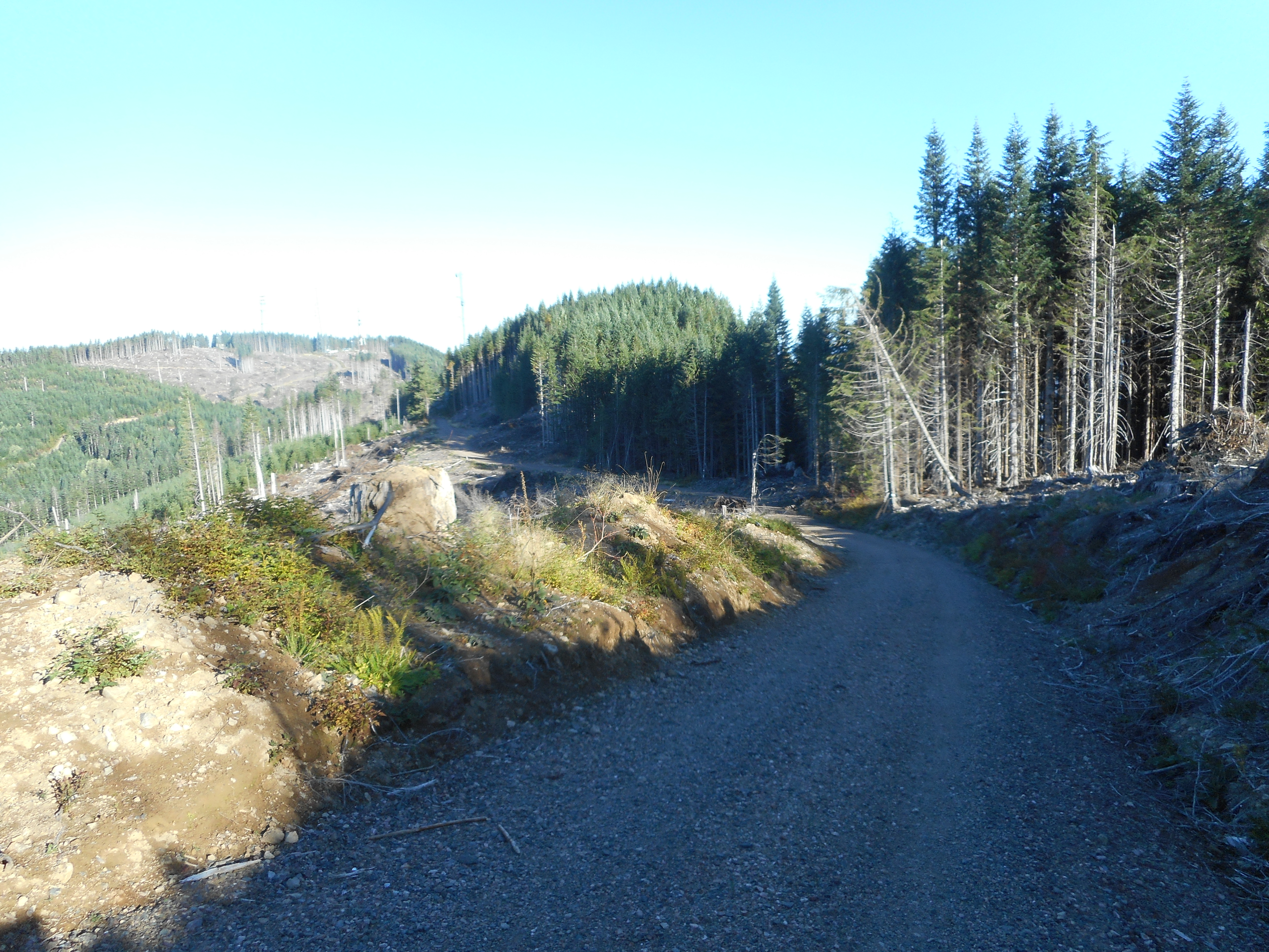
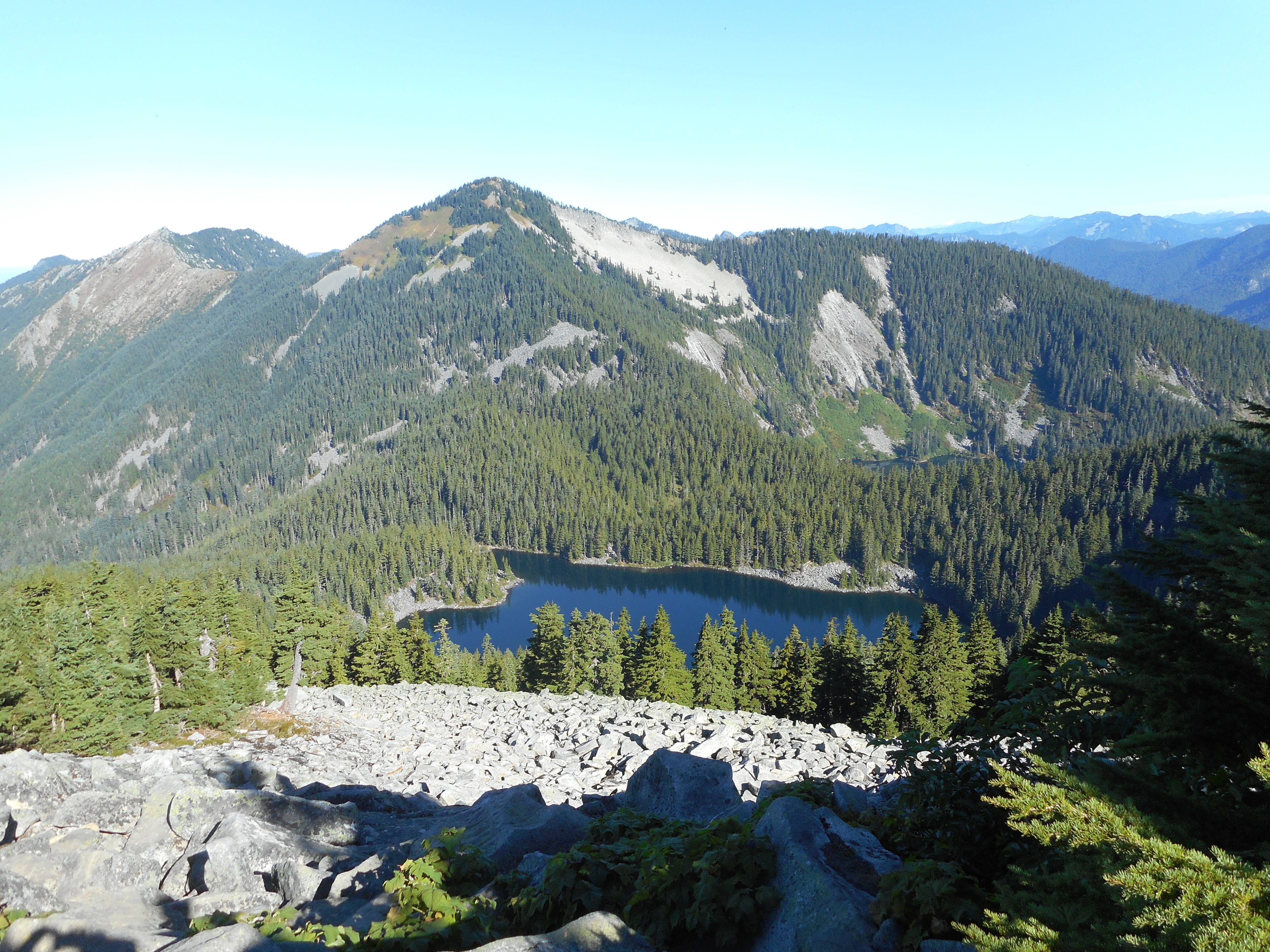
Finally back in the woods it was nice the rest of the way.

9.7 miles, 2,900 feet elevation gain, a very fun day and a great workout.

The track:

https://adventures.garmin.com/en-US/by/djhiker/rattlesnake-mountain-traverse-9-28-2017#.Wc1pzMZrypp

Rattlesnake Mountain – Stan’s Overlook 9/23/2017

Stan's Overlook
Stan’s Overlook

What I did Saturday is hardly a hike, just under 4 miles and 1K elevation but I guess it qualifies technically.  My legs were a bit worn out from the Thursday Granite Mountain outing so I did something mild.

I guess this should be included in my annual count.

The track:

https://adventures.garmin.com/en-US/by/djhiker/stans-overlook-9-23-2017#.WckM3MZrypo

Granite Mountain 9/21/2017

Derek at the Summit
Derek at the Summit

Nice hike today with Derek, his call, Granite Mountain. This is a tough hike but not a killer. However, winter has come early to the mountain as we hit snow at maybe 4,700 feet (summit is 5,600). Near the summit we were slipping and sliding.

Maybe .3 mile from the summit there is a discouragingly steep section, considering how much effort it takes to get to the point where you can look up at this:

Gotta go up there
Gotta go up there

But having come so far, you might as well keep going and so we did. It really is beautiful in the snow on a mountain:

Wintry Scene in September

About 8 miles, 3,700 feet of elevation gain, great hike. Saw not quite a half dozen people on what is, during the summer on a weekend, like downtown Seattle with the crowds.

The track:

https://adventures.garmin.com/en-US/by/djhiker/granite-mountain-9-21-2017#.WcQmeMZrypo

Songbird Peak 9/10/2017

Fall Colors are Starting

Great hike today with Carl. We went up the Change Creek Trail, took the Pond shortcut to the Olallie bike trail (still not officially open) to the Great Wall, south to the service road, east along that road a mile or so, then north to Songbird Peak.  Same route back.

Carl on Songbird Peak

Perfect day. It was cool and cloudy in the early going, just right for that steep beginning, but by the time we got to the bike trail the sun was out and the views were incredible.

In The Clouds
In The Clouds
Chester Morse Lake
Chester Morse Lake

13.1 miles, about 3,600 feet of elevation gain, a really nice hike.

Here is the track:

https://adventures.garmin.com/en-US/by/djhiker/songbird-peak-9-10-2017#.WbXe_MaQypo

Squak Mountain Conditioning Hike 9/4/2017

South Access Road
South Access Road

I did my new conditioning hike today. When I do this I will not put in a new post, I will just add a note to this one.

This is Squak Mountain in a very vanilla way. No forest trail – this is the South Access Road, it goes almost straight up to the top, where there is a microwave tower. I have no idea what kind of maintenance they do on a microwave tower, but whatever kind it is, they use this road (which has a locked gate near the start) to get there.

However, it is not at all illegal to hike right up this road. I saw a couple of other people today, and near the parking lot, which is on SE May Valley Road (and requires a Discover Pass) there are three or four houses.

This is pleasantly steep and you can get as tough a workout as you like, just adjust your speed accordingly. As usual, my speed was slow (75 minutes to the top) but fairly steady.

Anyway, if you look at the picture above, you see a short stretch close to the bottom (they are building a new home on the right) that is level, and notice the hill. Well, that’s about how it is the entire 2.6 miles up.

When you get there, you know where you are:

Where It Is
Where It Is

And the “view” is not exactly spectacular:

Majestic Summit
Majestic Summit

But this is a conditioning hike, not one for views or spectacular forest. It is like a 2.6 mile long treadmill, but outside in the woods. More fun than the gym.

Here is the track:

https://adventures.garmin.com/en-US/by/djhiker/squak-mountain-9-4-2017#.Wa226MaQypo

Little Bandera 9/2/2017

Summit North View
Summit North View

Awesome hike today with Carl.  We started up the Ira Springs Trail just after 7.  I am a slow poke and didn’t make it to the summit of Little Bandera until about 9:40 or so. But don’t let the word ‘little’ in ‘Little Bandera’ fool you.

It is ‘little’ only because it is a false summit. Another 1/2 mile or so on a ridge gets you to Bandera Mountain, but most people settle for Little Bandera since the summit has no views (trees block the view) and the short hike there is not interesting.

This hike is interesting in spades. Here is what it looks like near the summit – it is a boulder scramble:

Carl near the Summit

Generally, I would say this hike has 3 distinct sections.

The first section, about 1.5 miles, is on a nice trail and has a relatively gentle elevation gain. We make pretty good time here.

You hit a very obvious spot where it is suddenly steep. And it stays steep up until about 2.7 miles, where there is a sign directing you either to Mason Lake (go left) or Bandera (go up).

This is the third section and it is what makes this hike so challenging. It is pretty much straight up for more than a half mile, including sections where you are not “hiking”, you are looking for ways to make progress over and across boulders. Very tough coming down as well.

But it is rewarding, as the views up there are awesome, and the workout to get there is the best.

Southern View
Southern View
Mount Kent and McClellan Butte
Mason Lake
Mason Lake

On the way down, Carl noticed a plane or glider slipping by. Looked like this person was having fun. Hard to get in the frame, it is in the lower right of this picture:

Glider (lower right)

6.8 miles, just under 3K elevation gain, check out the elevation profile in the track below:

https://adventures.garmin.com/en-US/by/djhiker/little-bandera-9-2-2017#.WascosaQypo