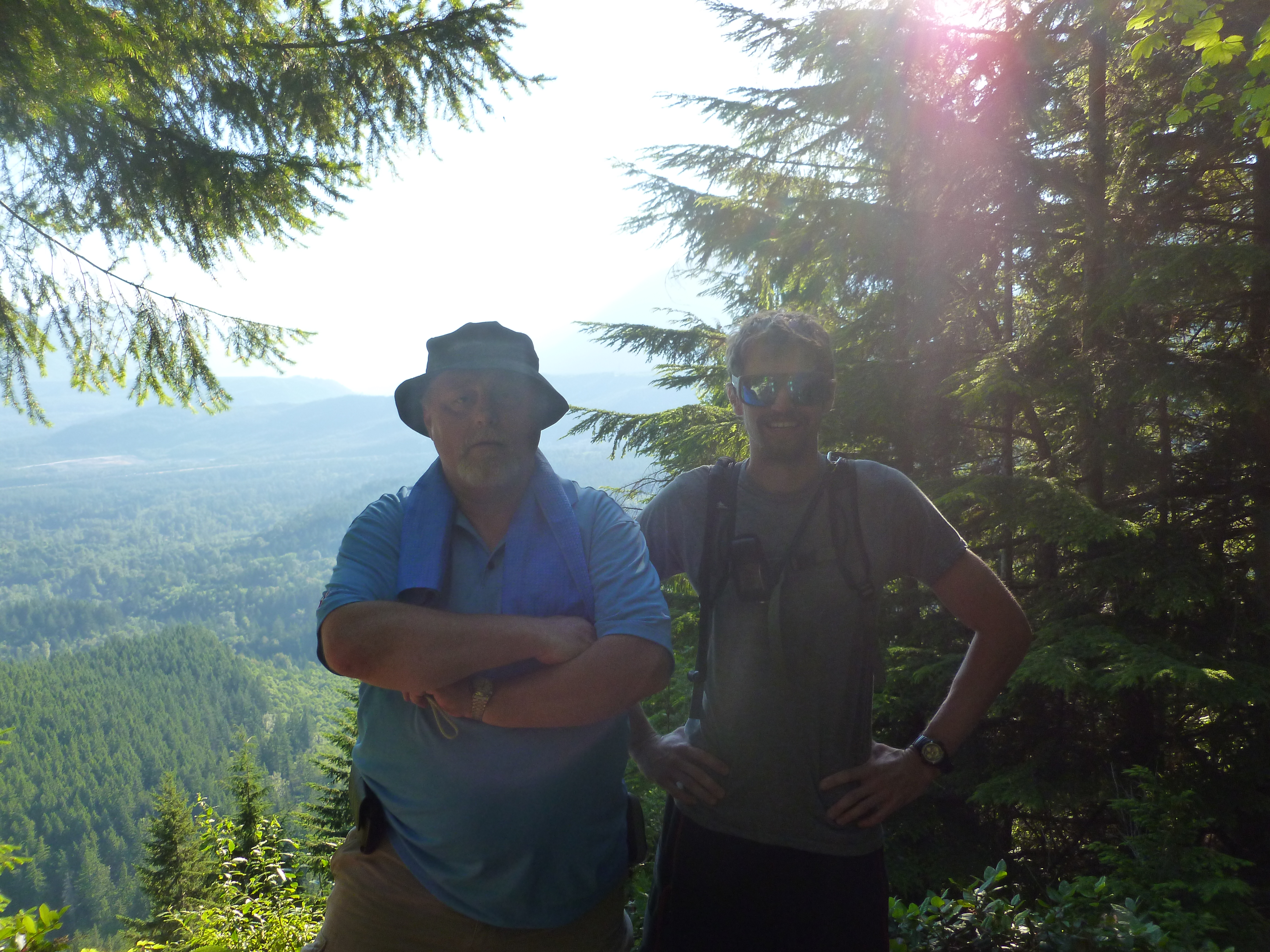
Today I did another ‘conditioning’ hike up the Mt. WA main trail and down the Great Wall. And about halfway up, huffing and puffing and trudging along the steep trail I thought: why treat this like an open-air gym, just a great way to get into better condition? I have grown so accustomed to this hike I had stopped appreciating just how awesome it is.
Furthermore, it occurred to me that hiking can be like training a dog. Just as you reward a dog with a treat for doing the right thing, a hike like this (familiar trails, solo) is doing the right thing because the ascent is a vigorous workout, and the reward – well, just look ahead a bit.
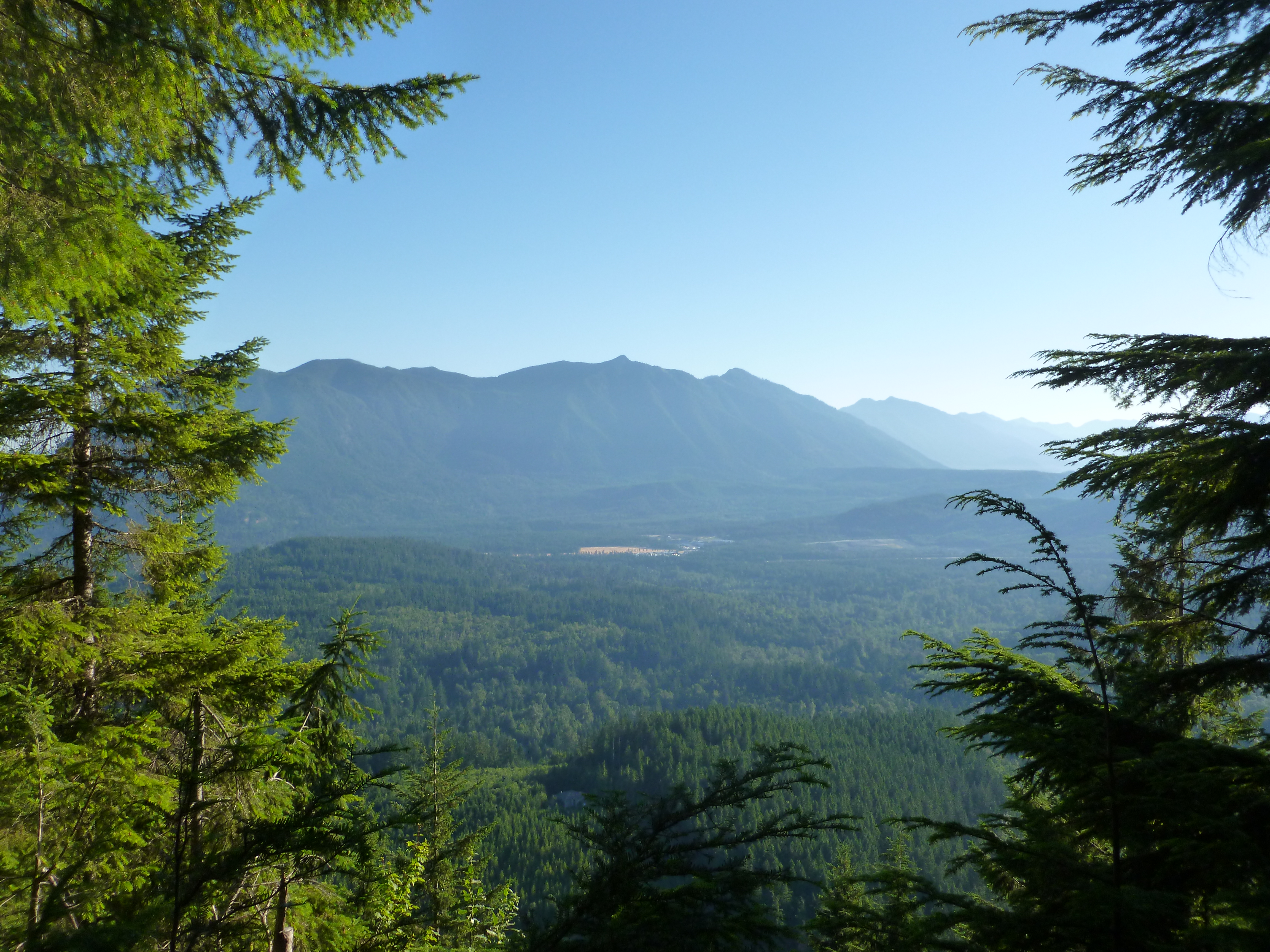
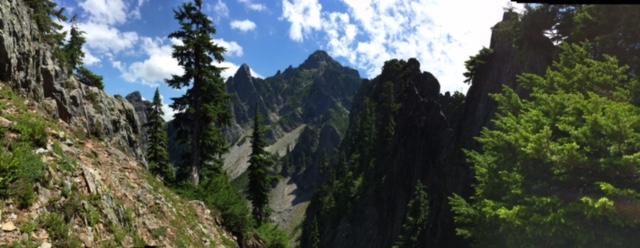
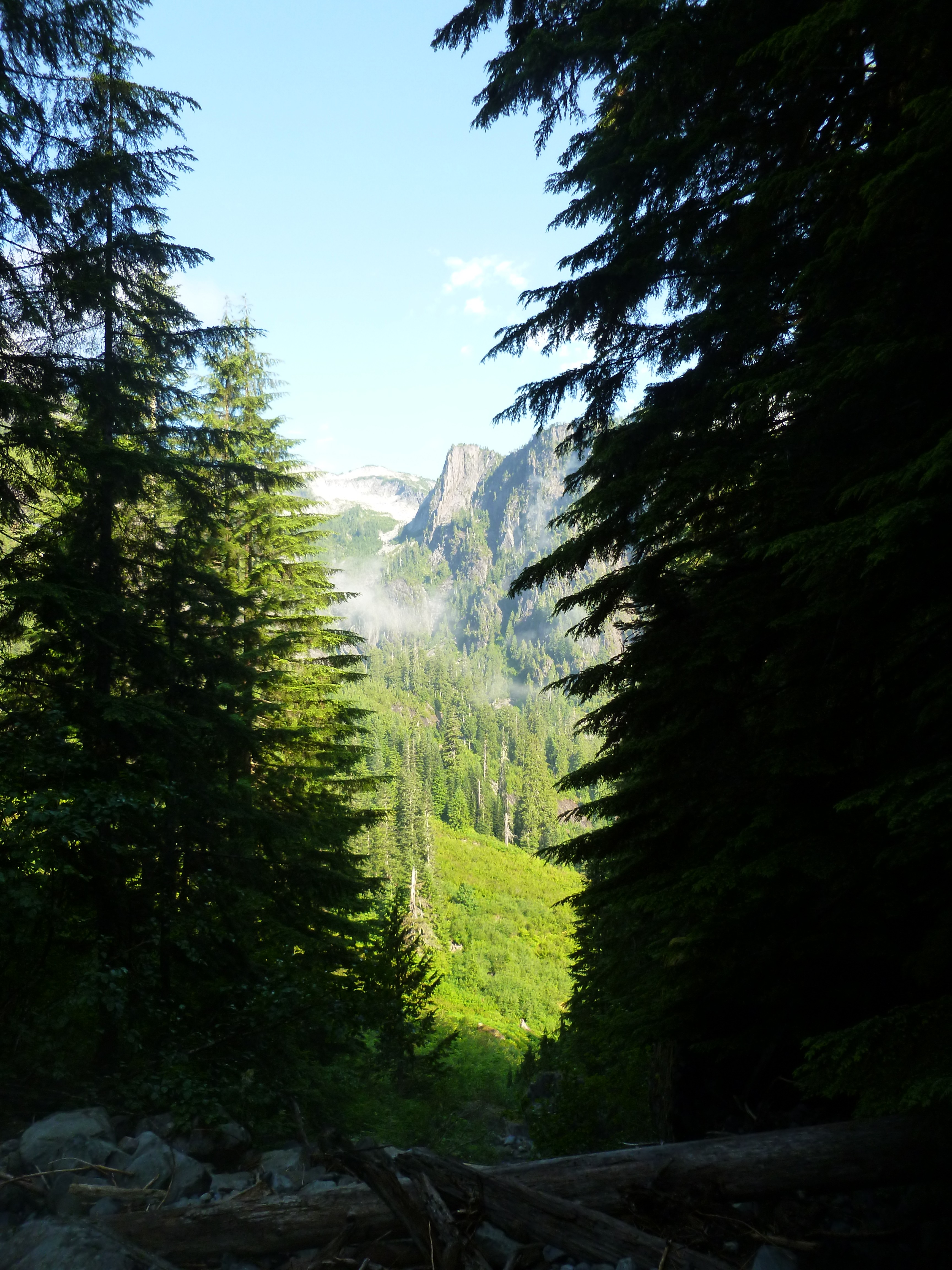
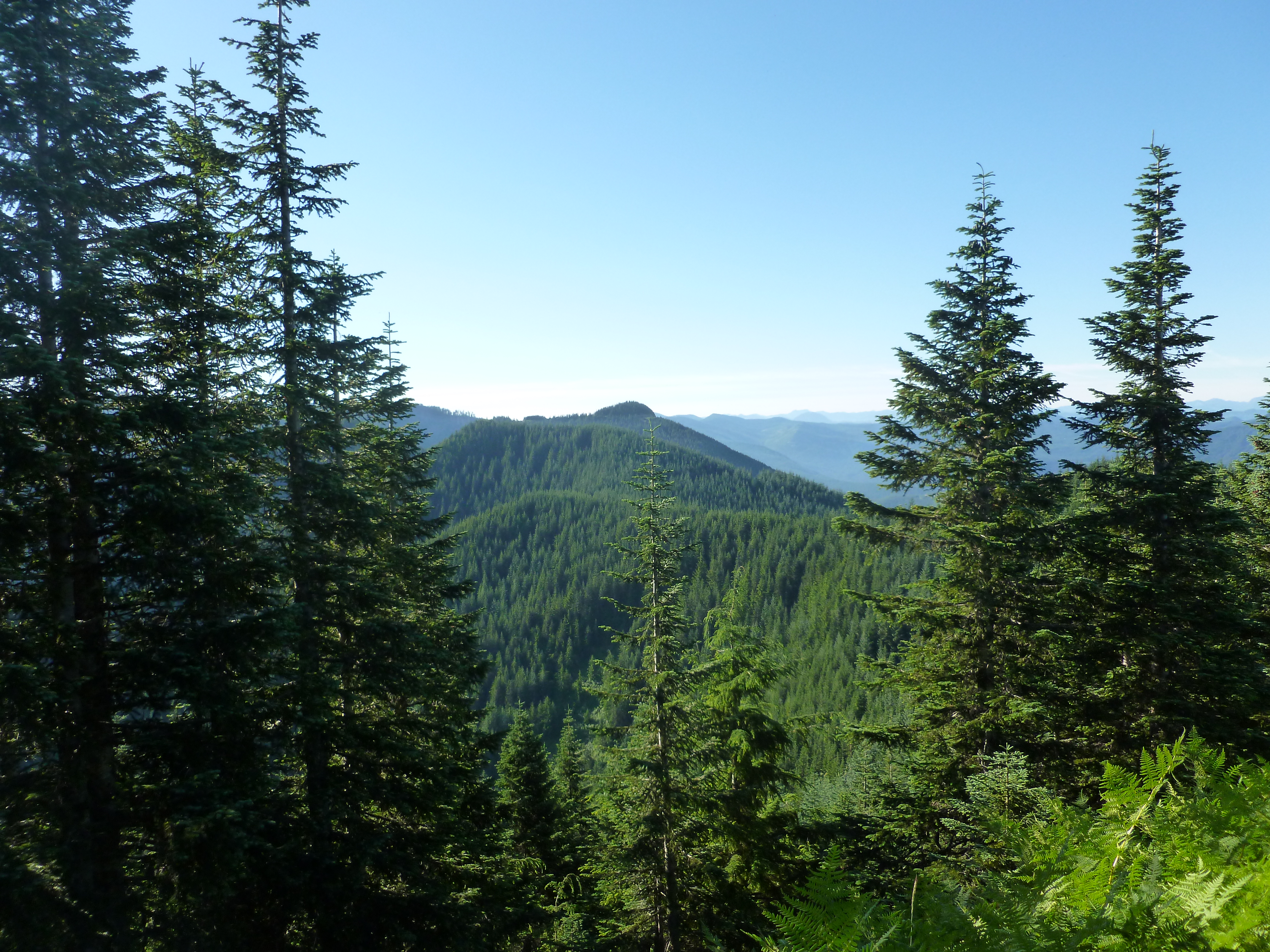
But first, here is the view north from the junction of the North Trail and the Main Trail:
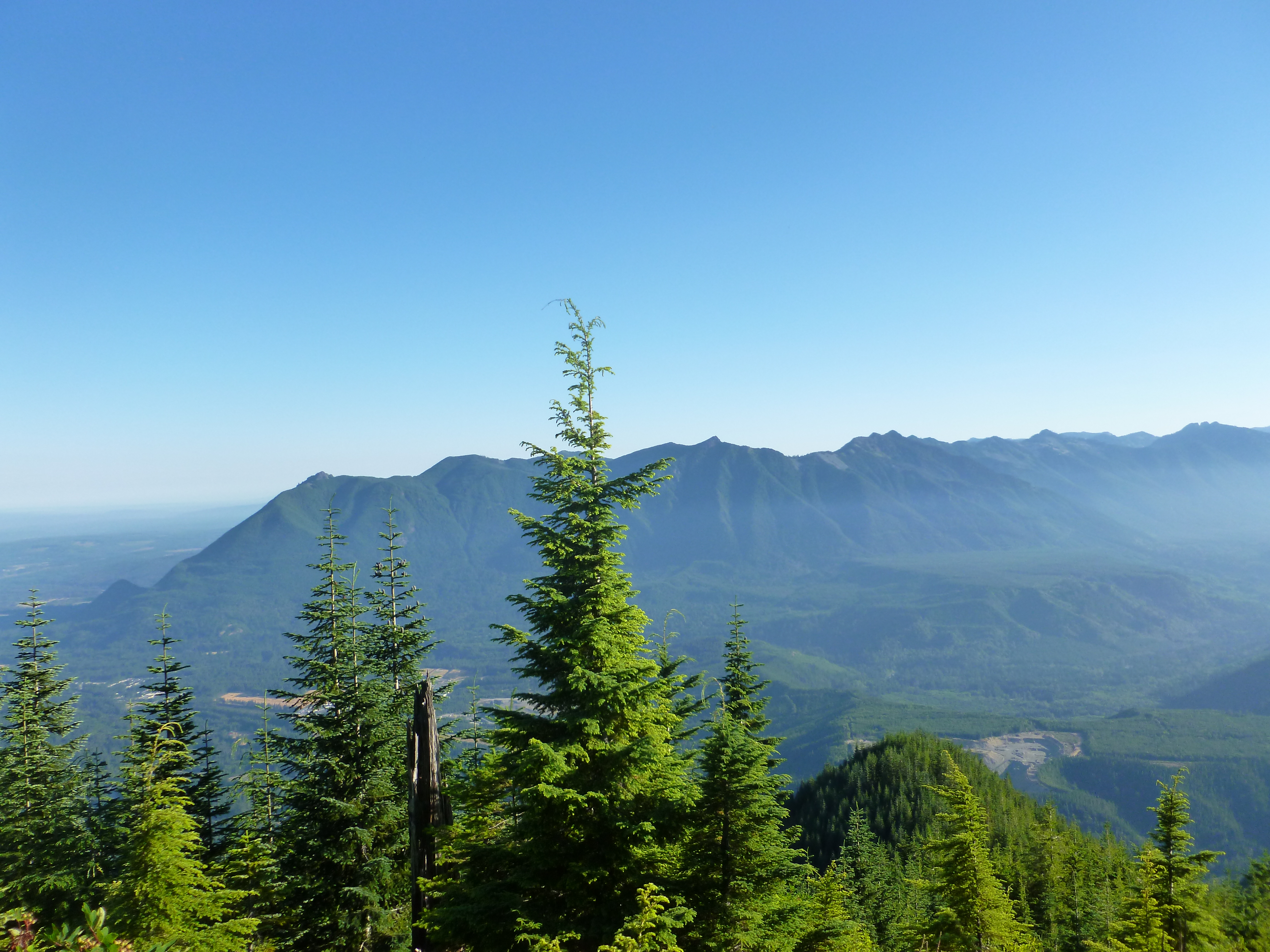
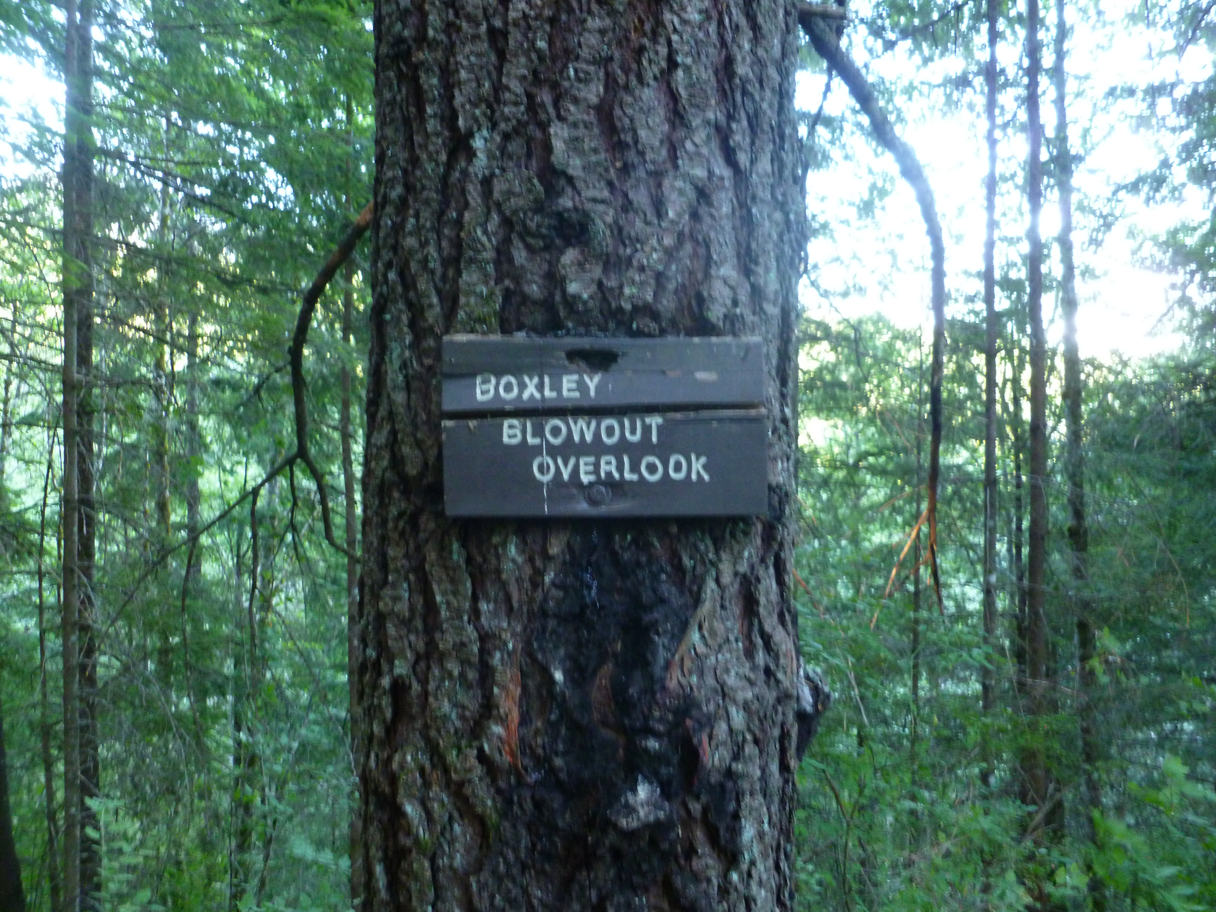
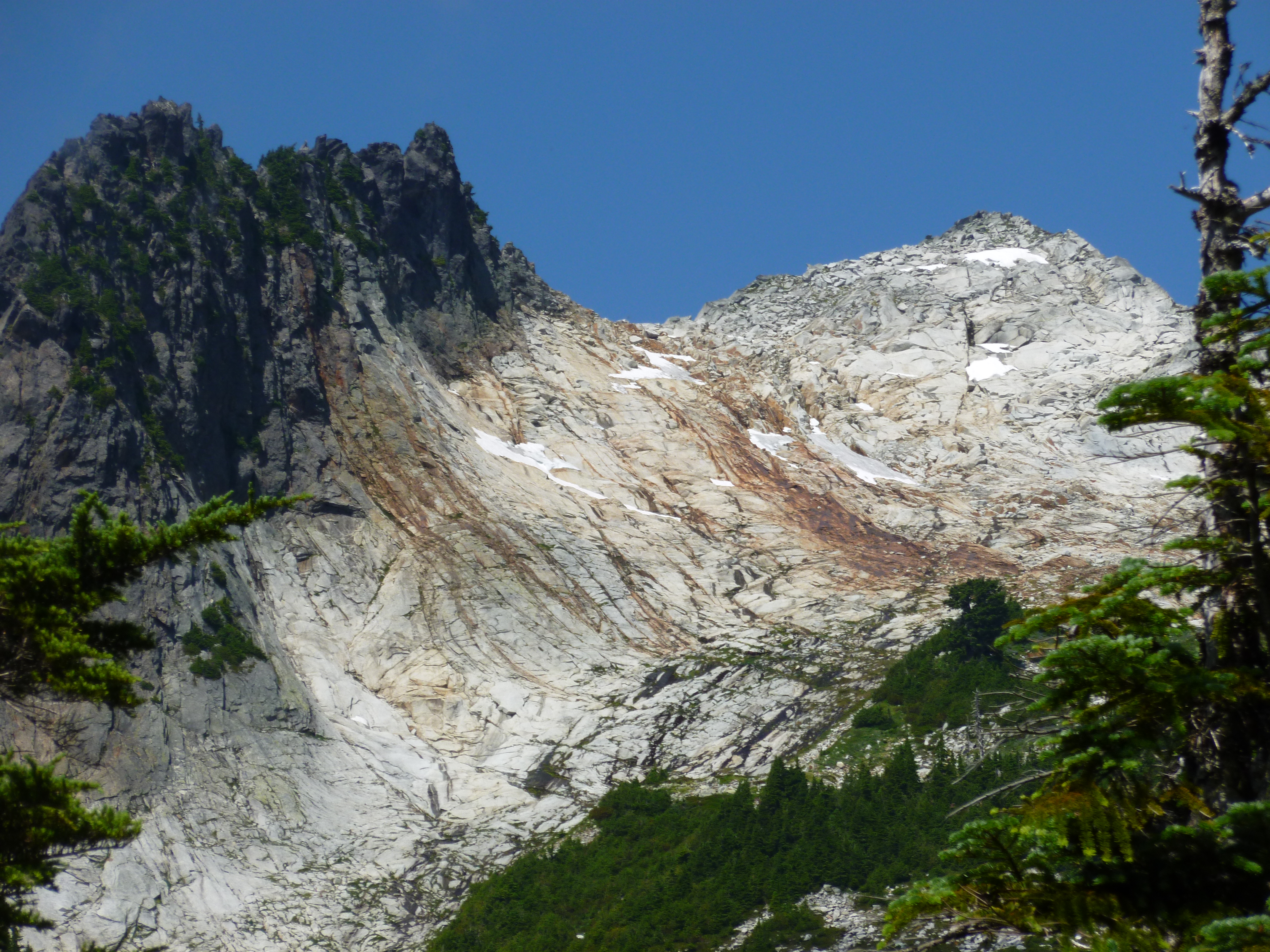
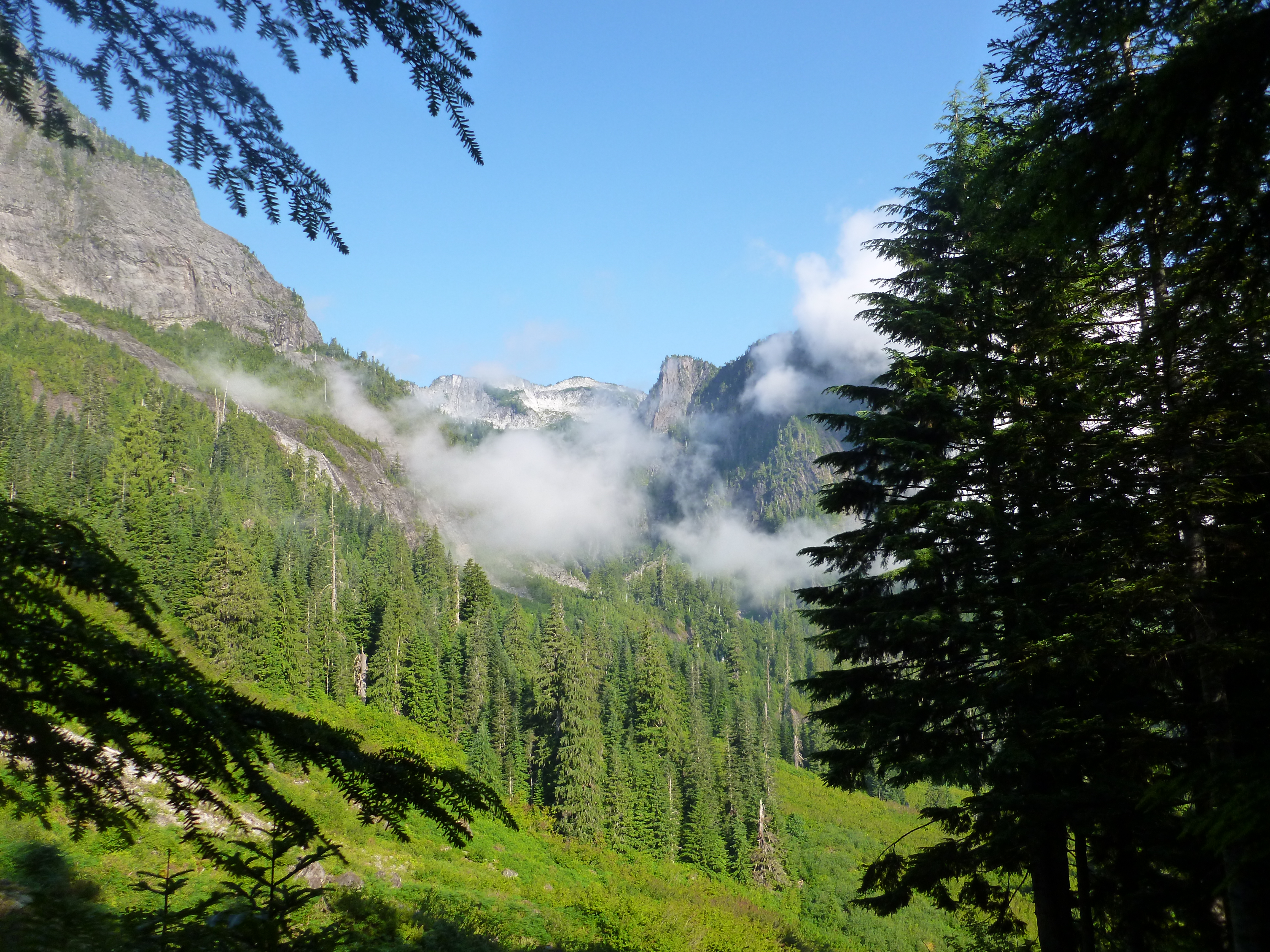
Actually, this is not just Mt. Si, the sharp point that the tallest nearby tree is pointing to is Mt. Teneriffe. And here are Mt. Si and Mt. Teneriffe from the Great Wall, that is, from the other side of the mountain:
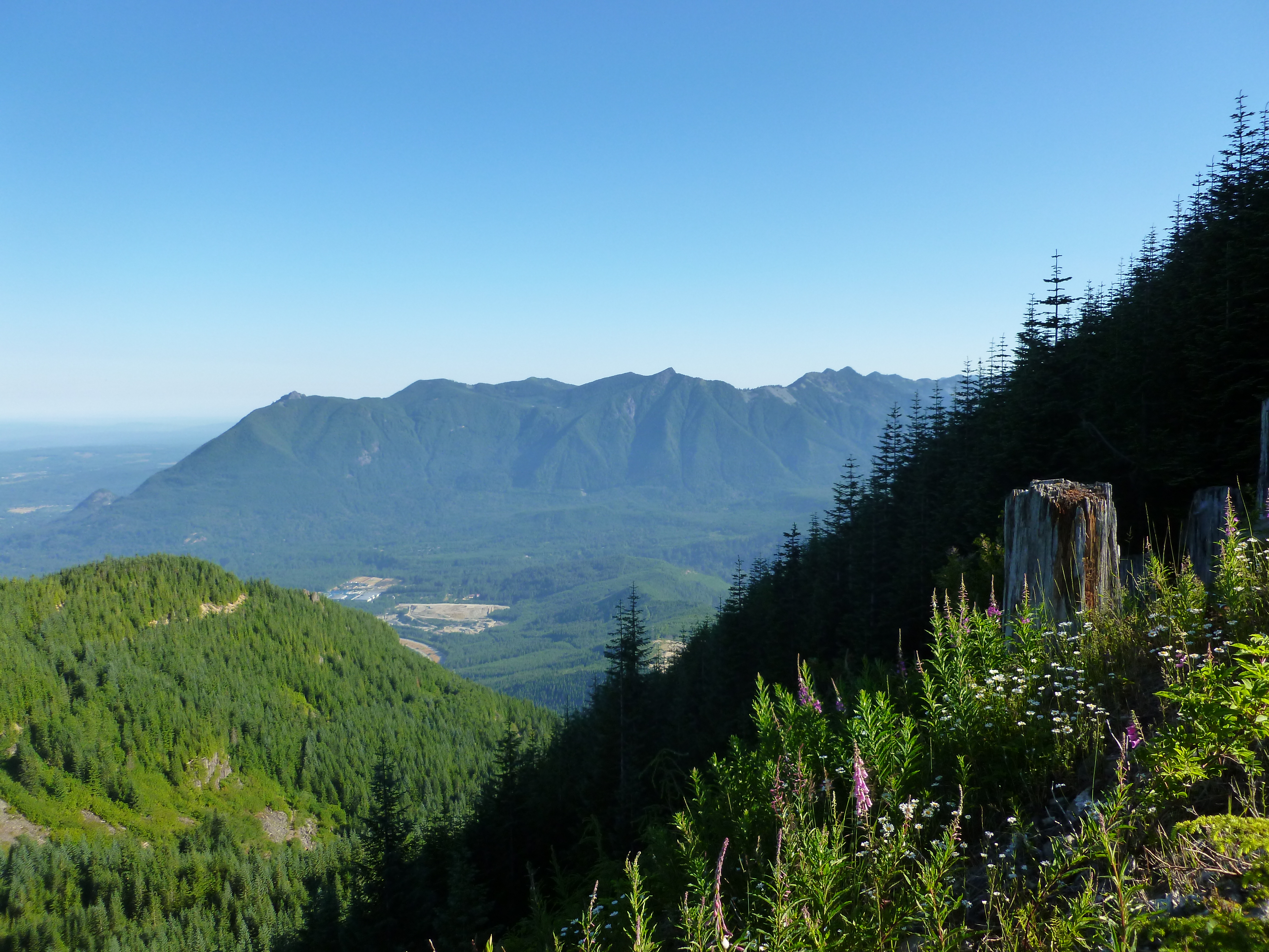
Just a slight change of perspective, but the difference is fun.
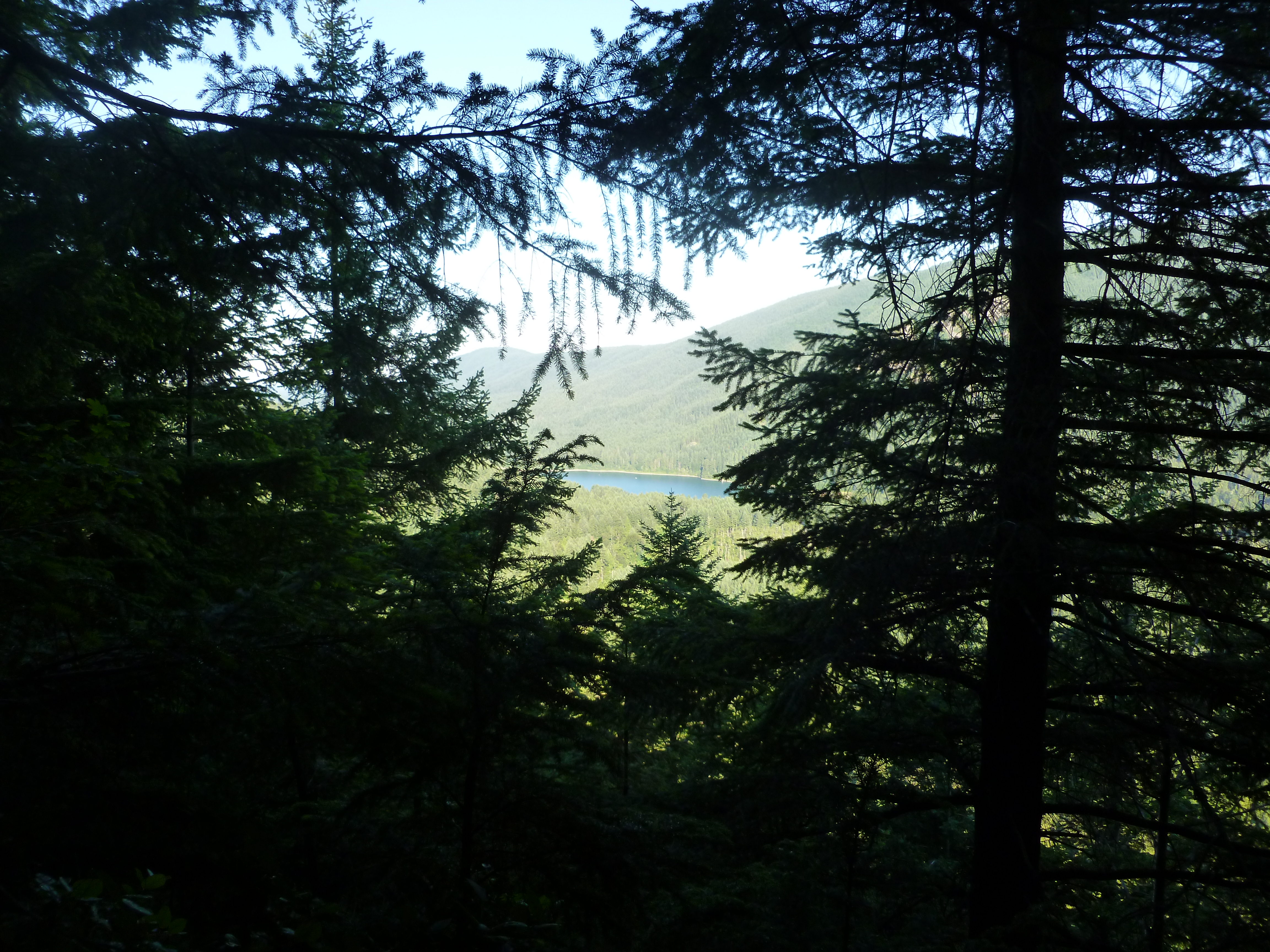
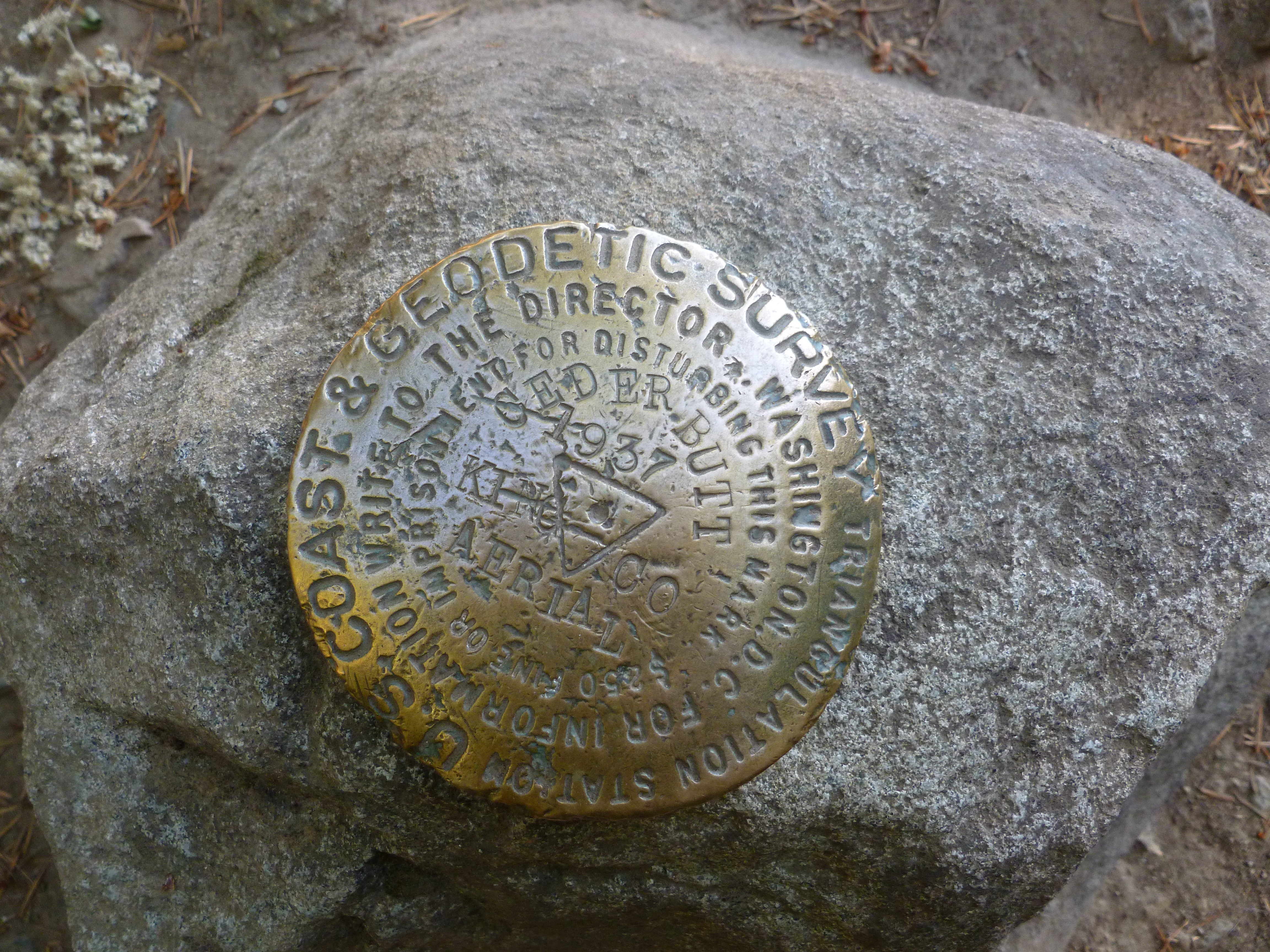
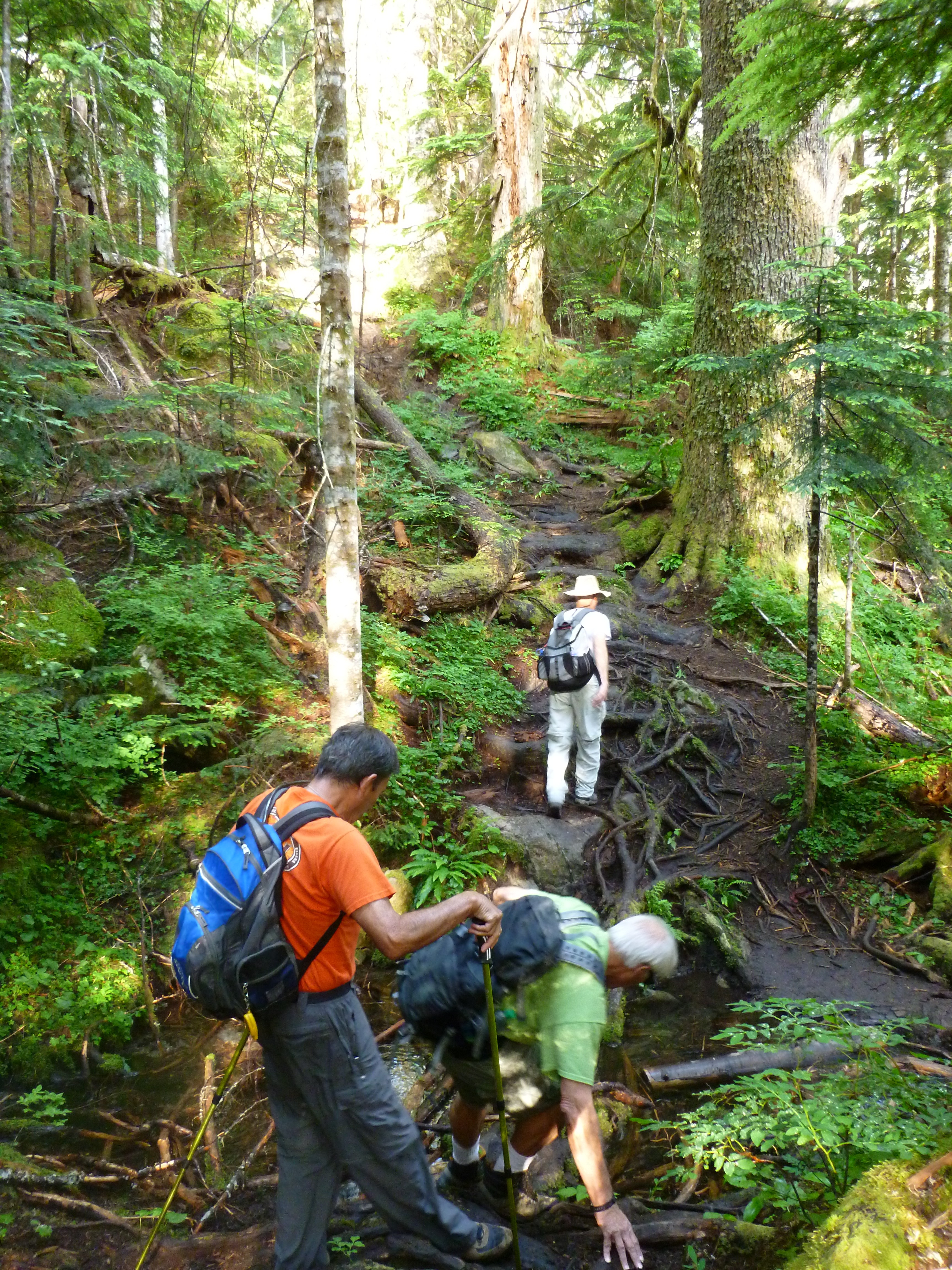
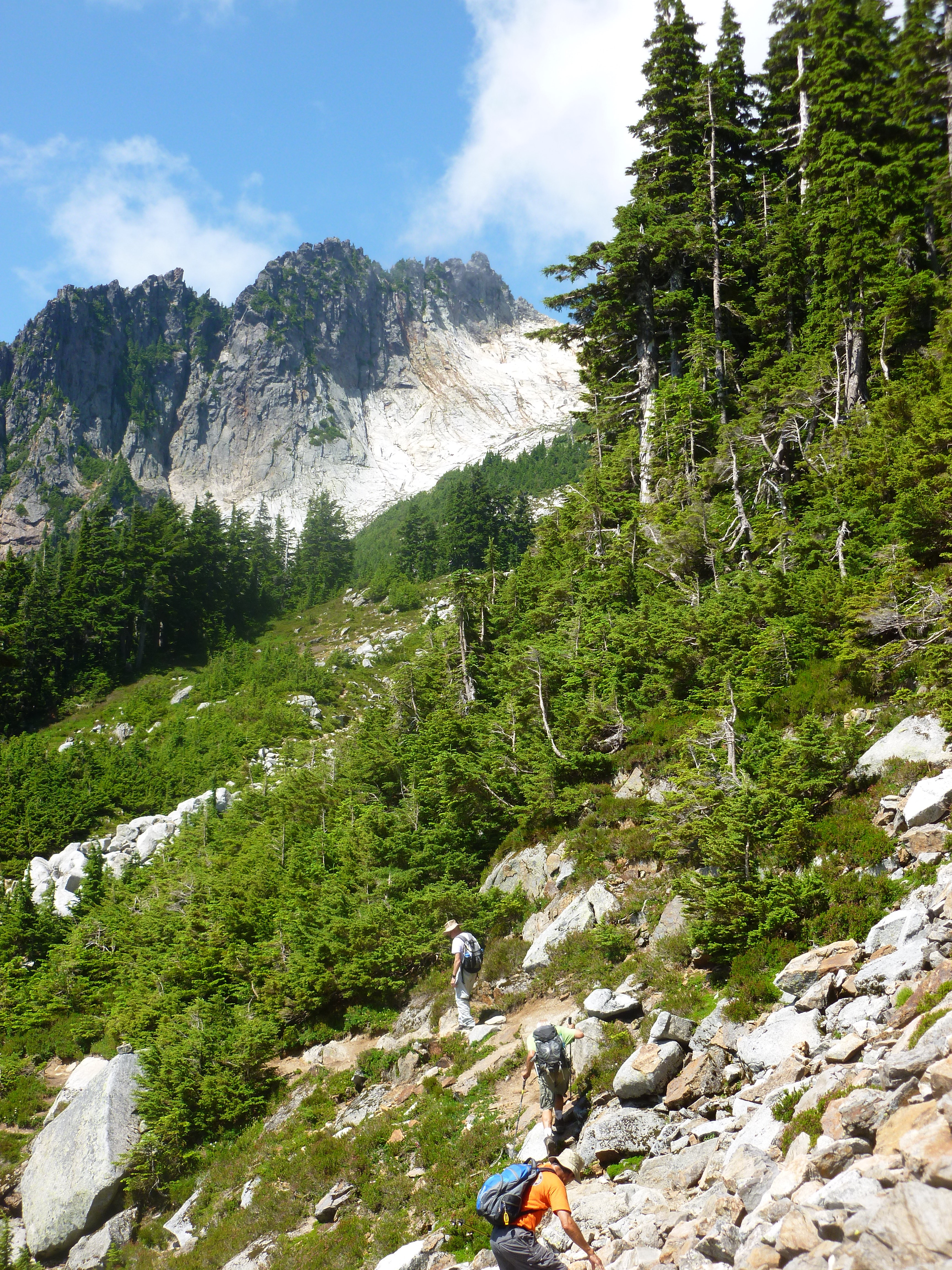
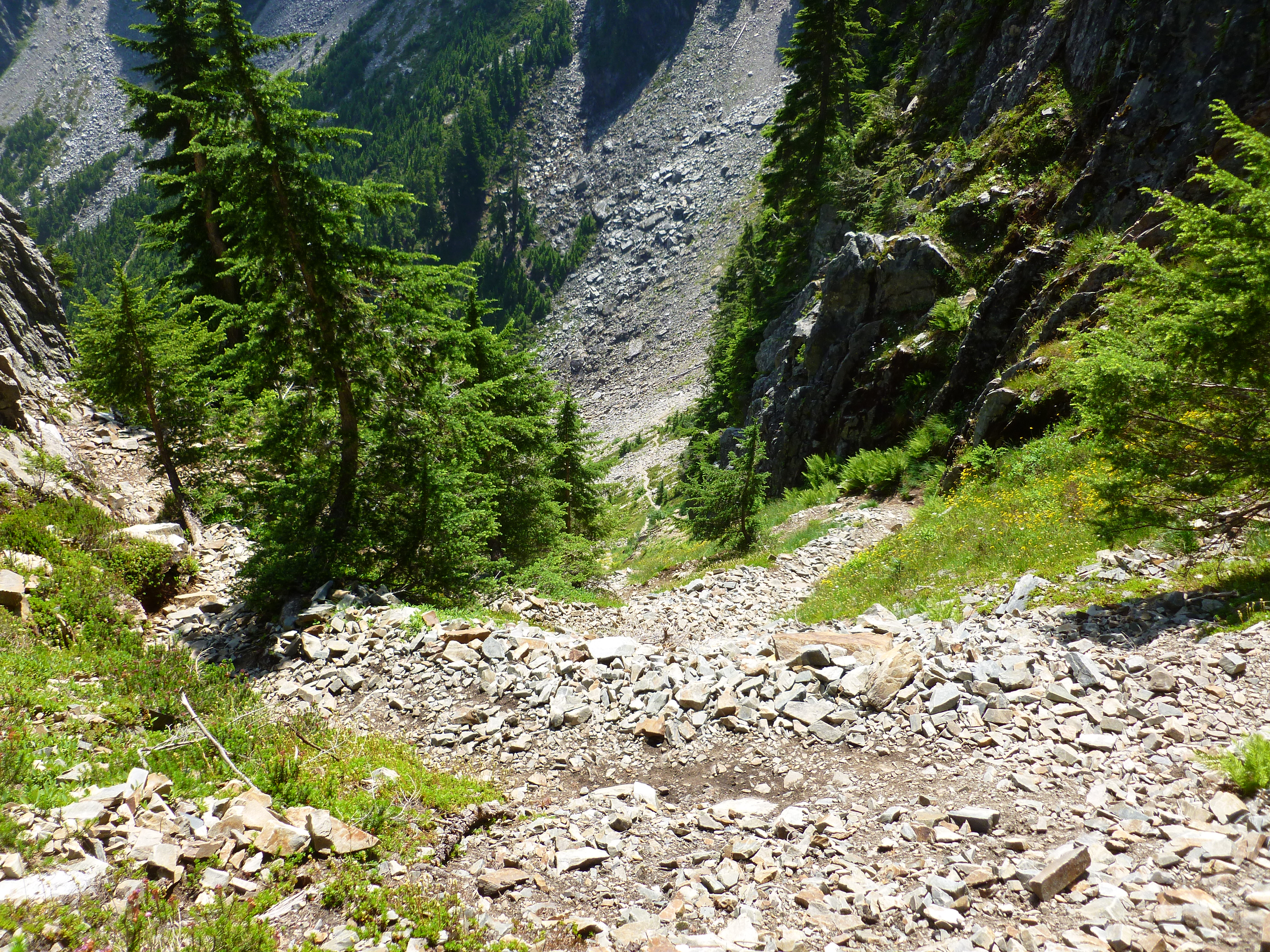
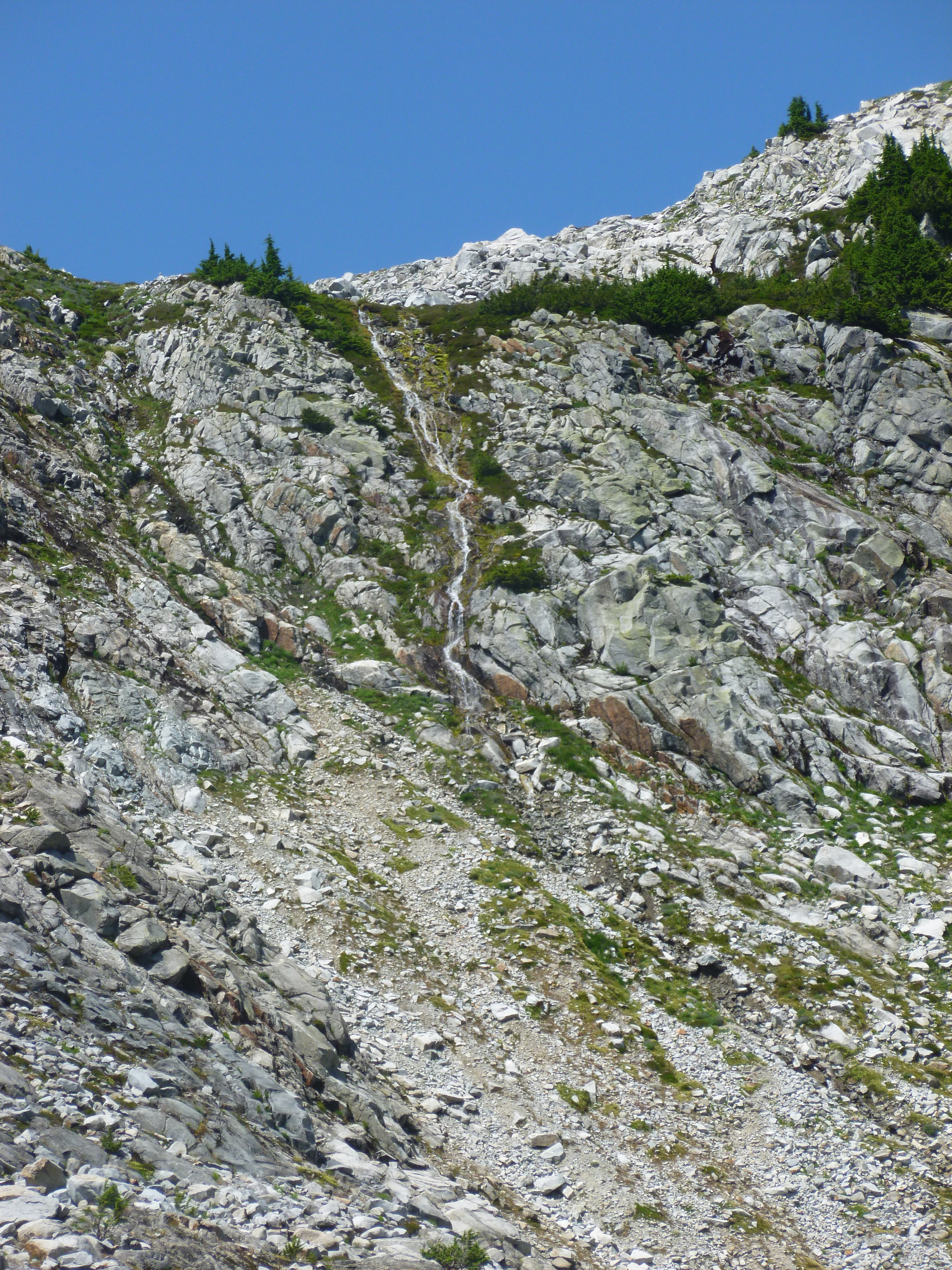
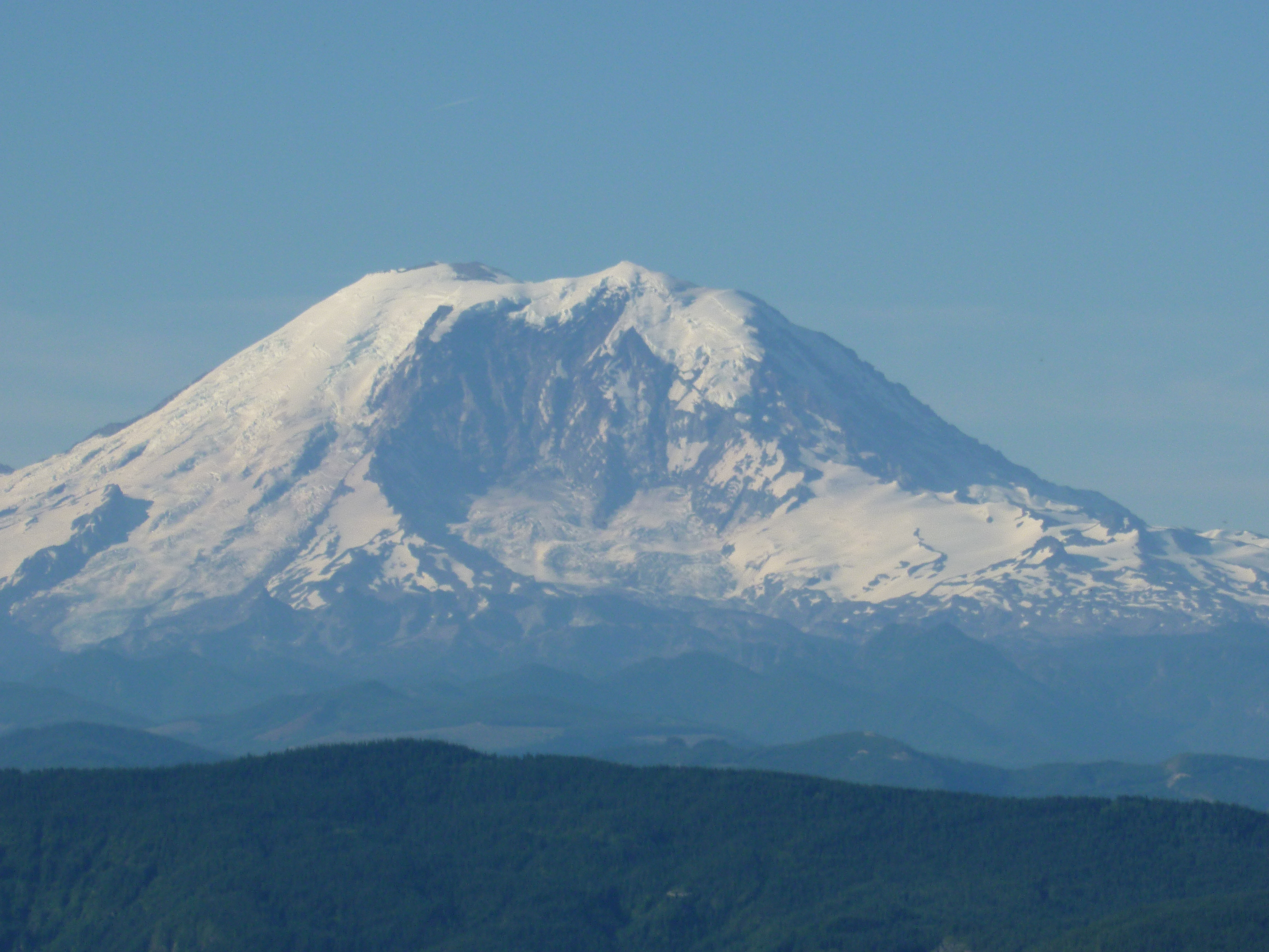
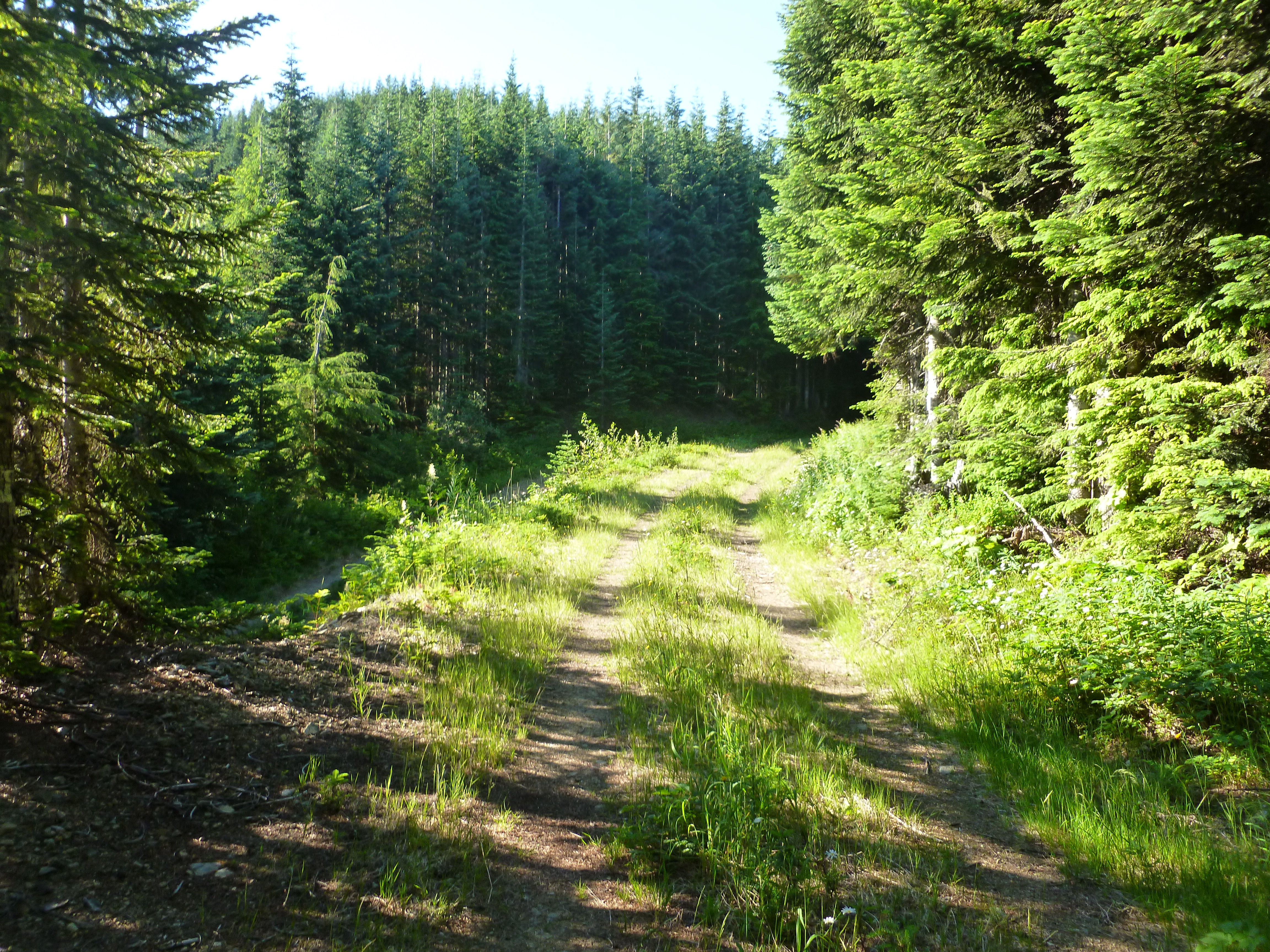
Anyway, today I did not take stuff like this for granted:
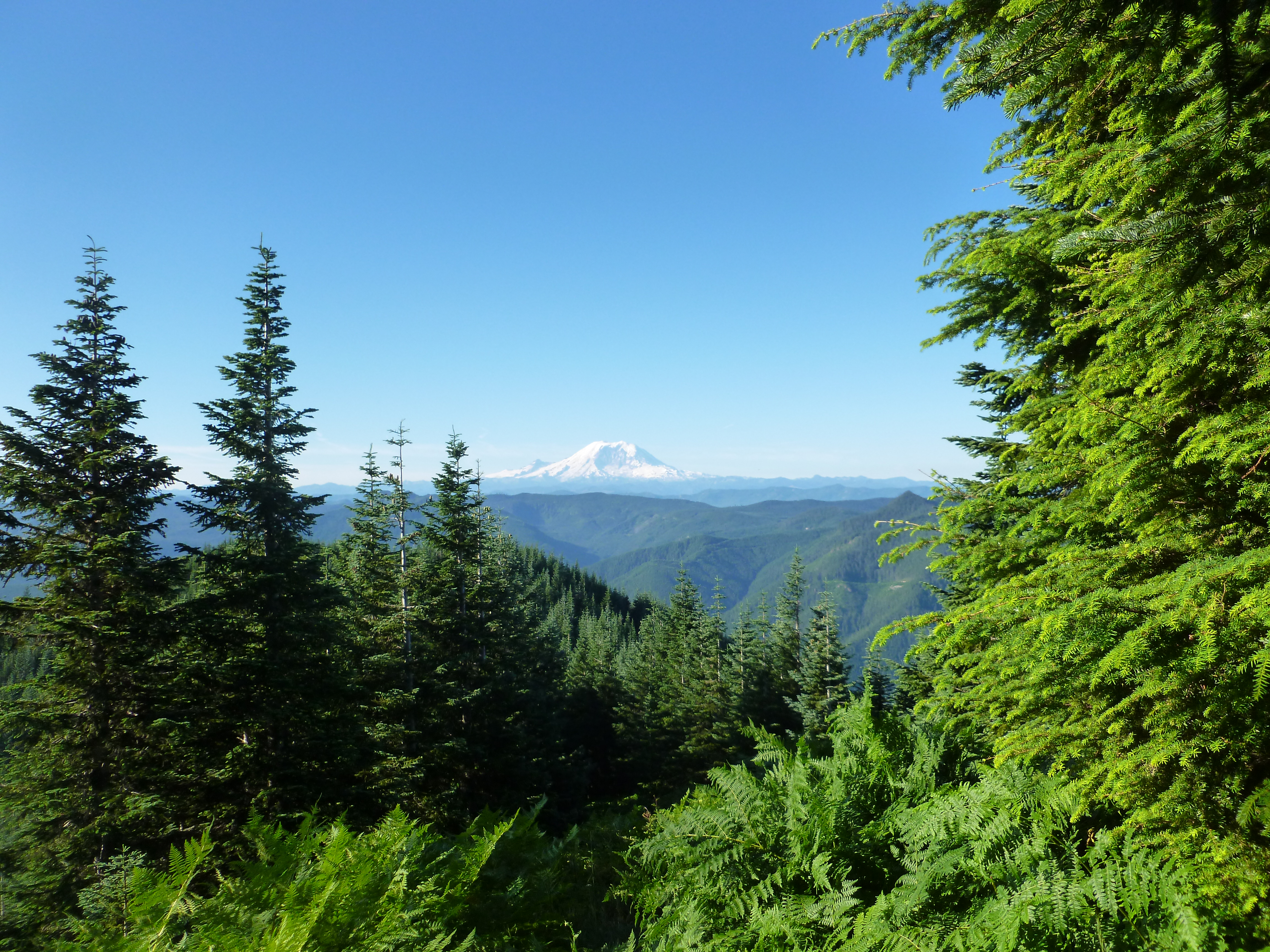
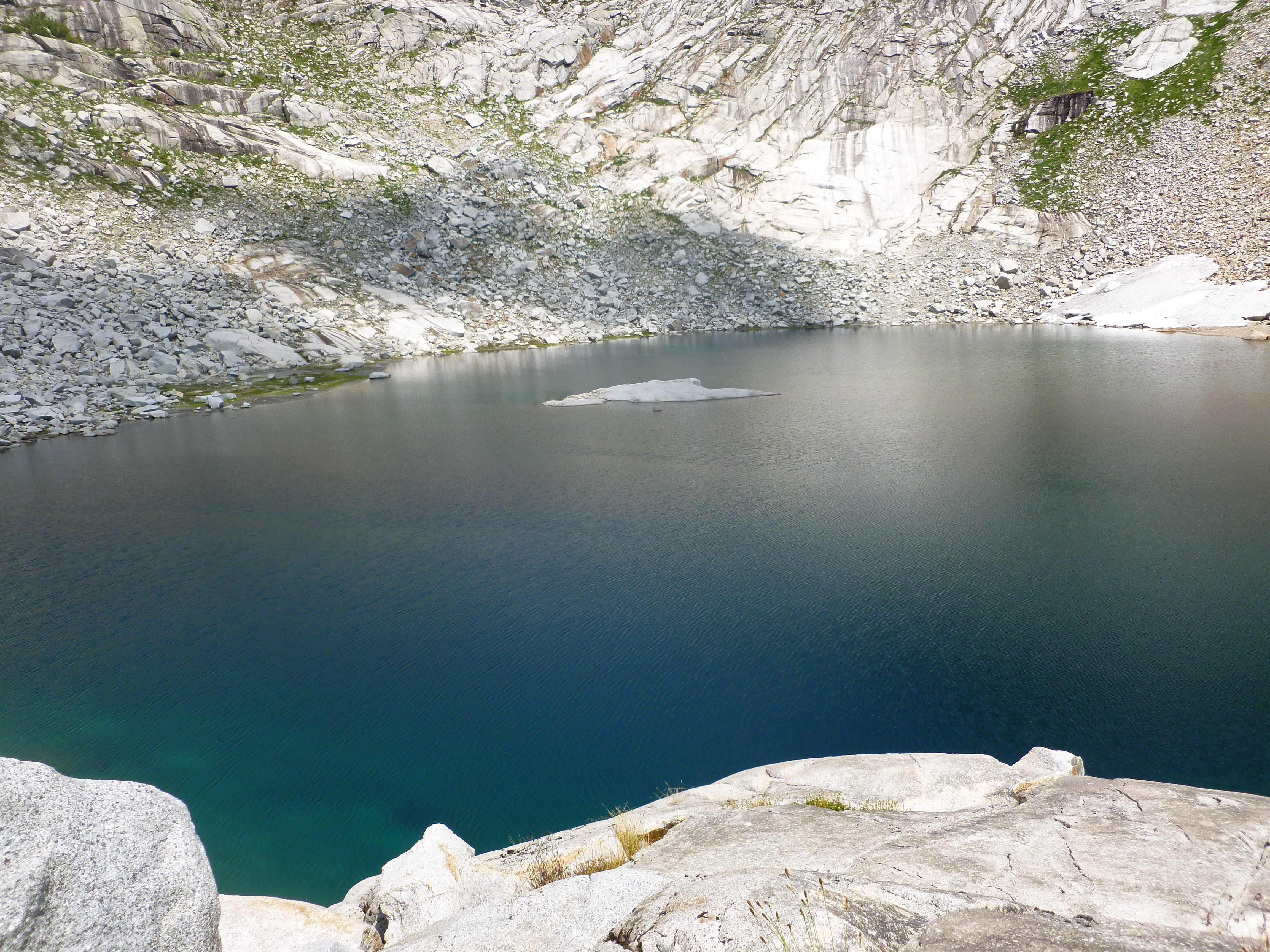
Or this:

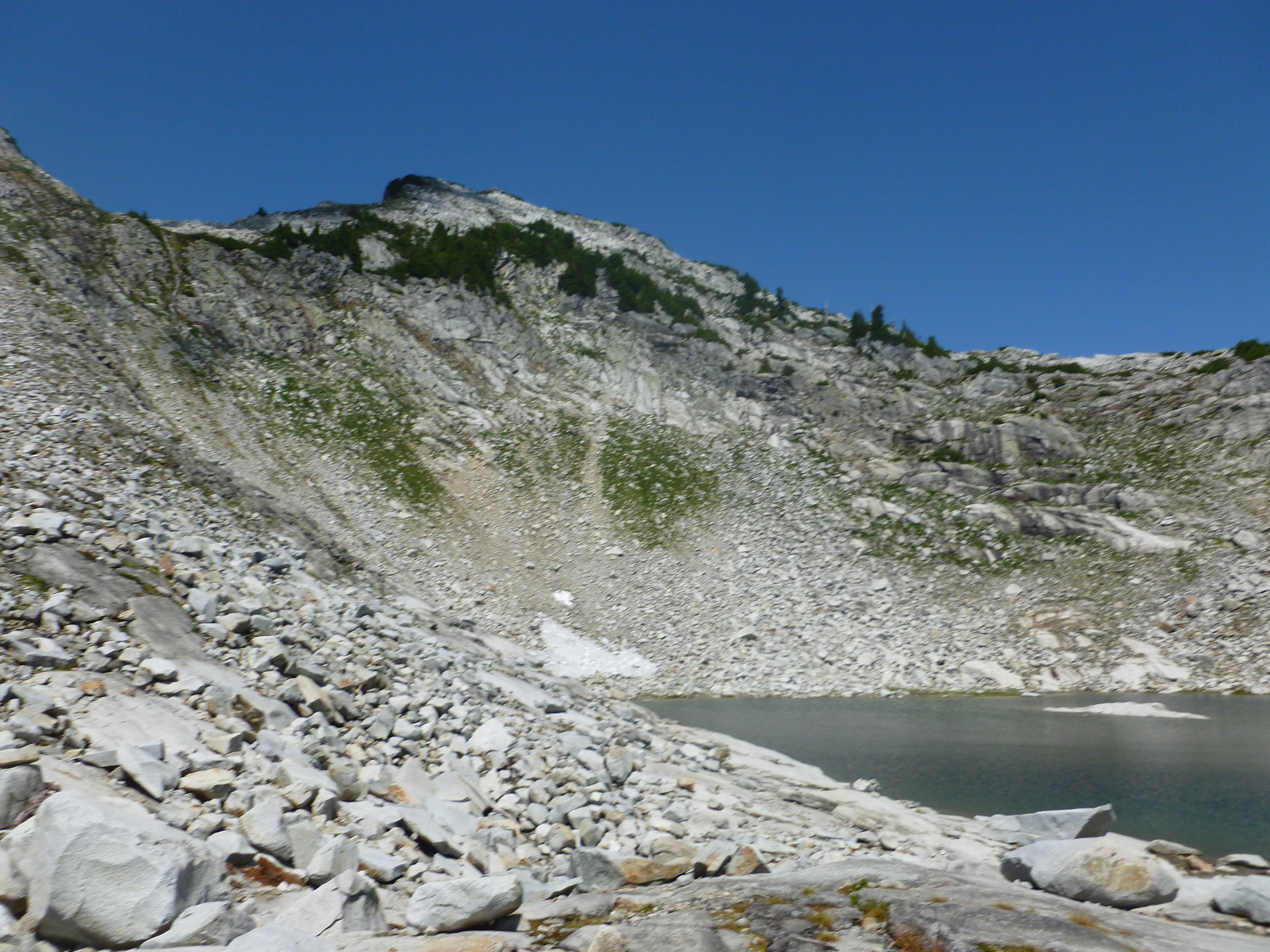
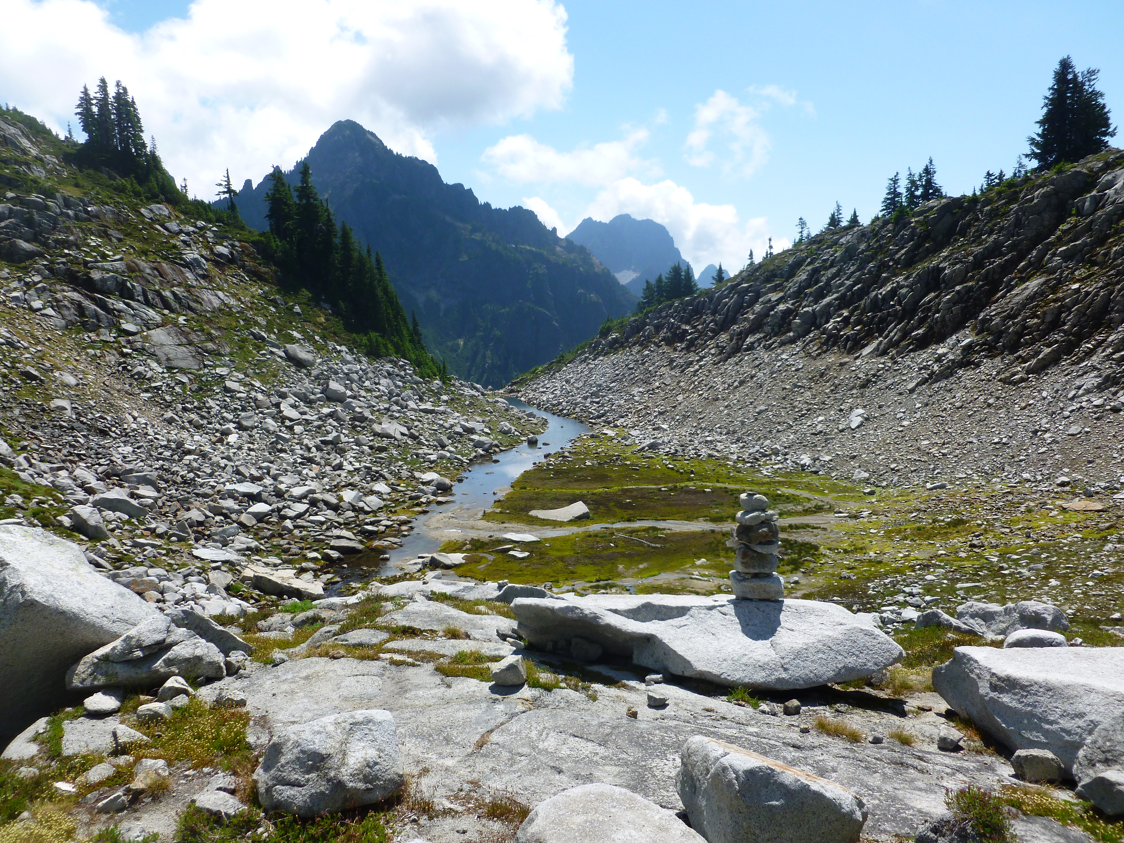
Or this:
You get the idea. I am thinking like a dog and had a terrific start to my Fourth.
For the record, I made it from car to summit in 1h 54min, a new personal record. Not sure how quickly I can shave that time, that was about as fast as I can go right now.
And, my only break on the way up was at the junction with the North Trail – I pushed past our old break spot and the new break spot beyond that. My next hike there I will go maybe 50 yards farther and try to extend it from there.
But I’m telling you, Mt. Washington has a last trick for you. After 3 or so miles of really tough and steep hiking, you get almost a mile of (relatively) moderate effort. But you can look up and see there is more in store.
And how – the section just past the junction with the North Trail – I now call it ‘the final exam’ – is steep. At the top of that section the trail hits an old logging road and moderates a bit from there to almost the summit.
Anyway, I was thinking about how lucky I am to live where I live and be able to do this stuff. The Great Wall trail rocks!
Just imagine being able to reward yourself for doing the right thing and hiking up a mountain by being able to hike down on a trail like this.
Happy Fourth!