Rattlesnake Mtn/Grand Prospect 2/25/2017

Not much of a view today

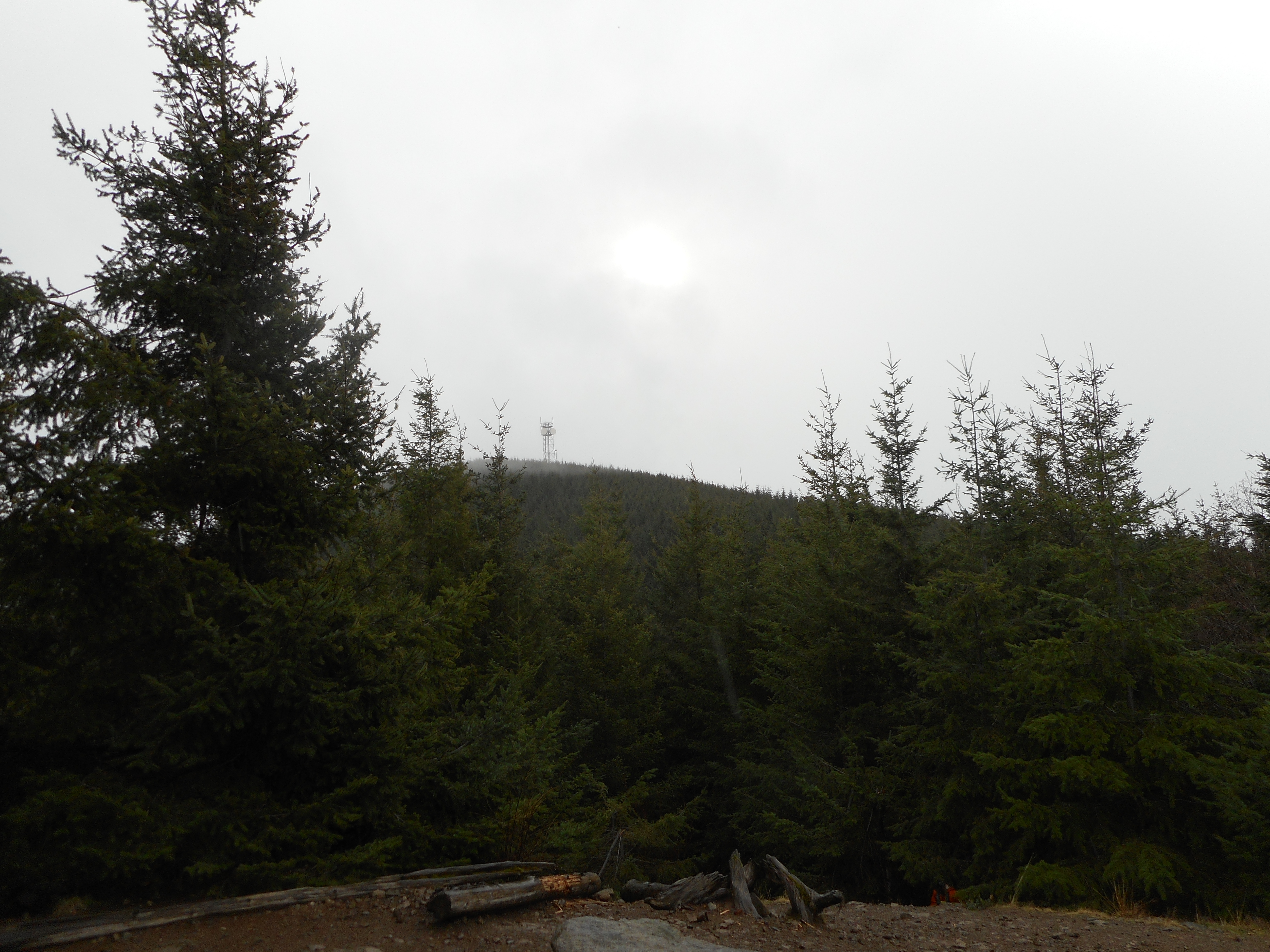
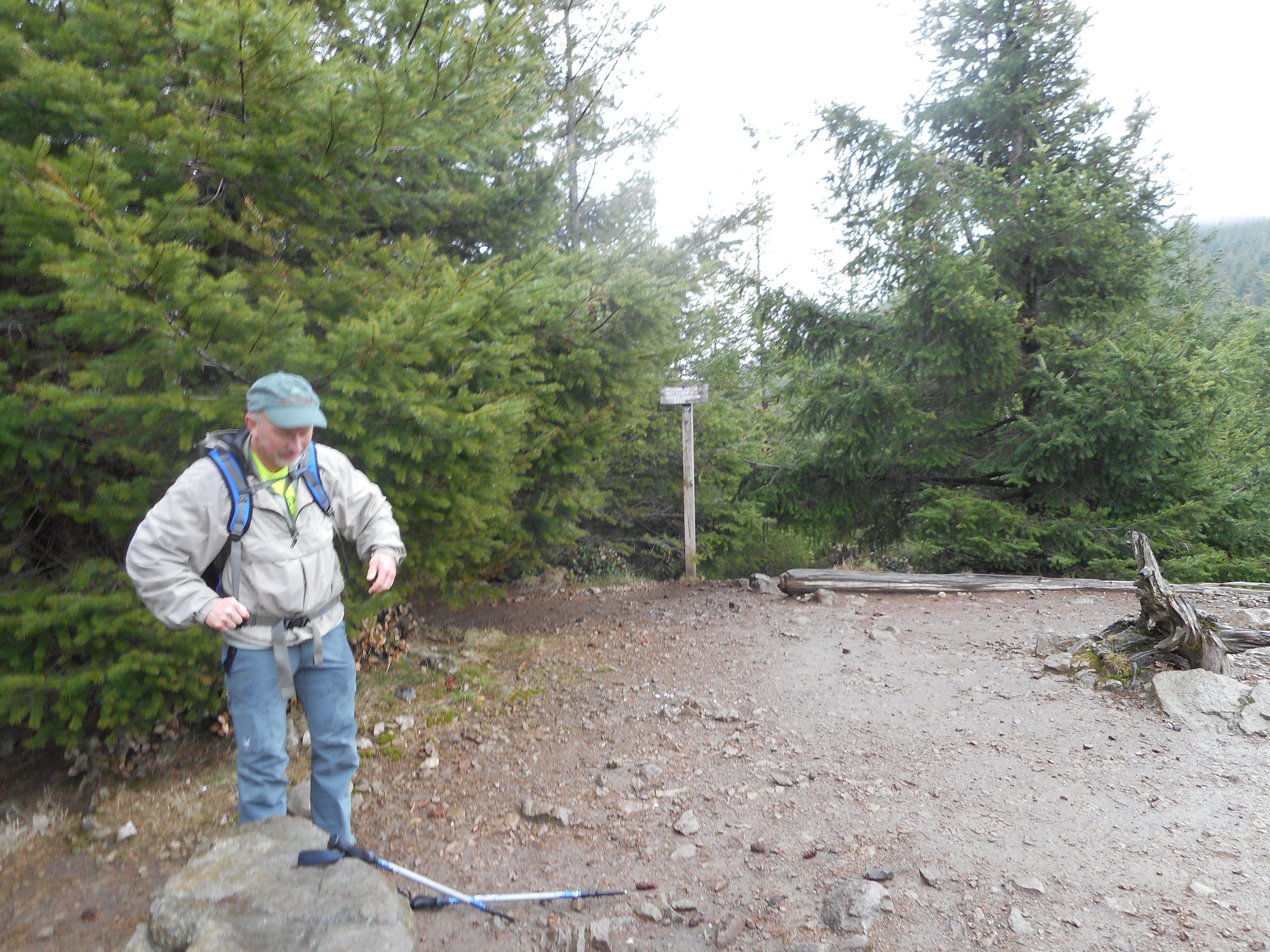
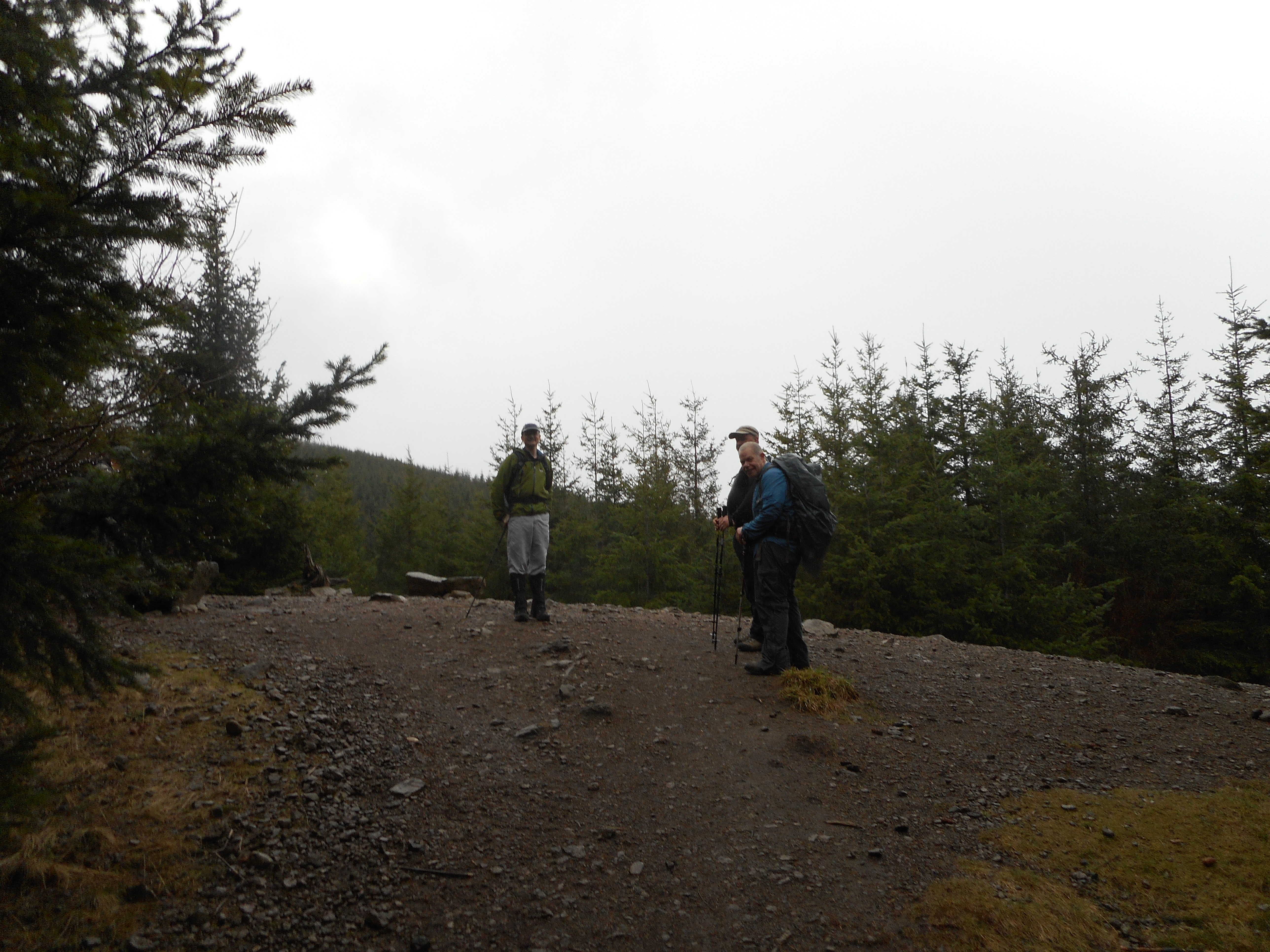
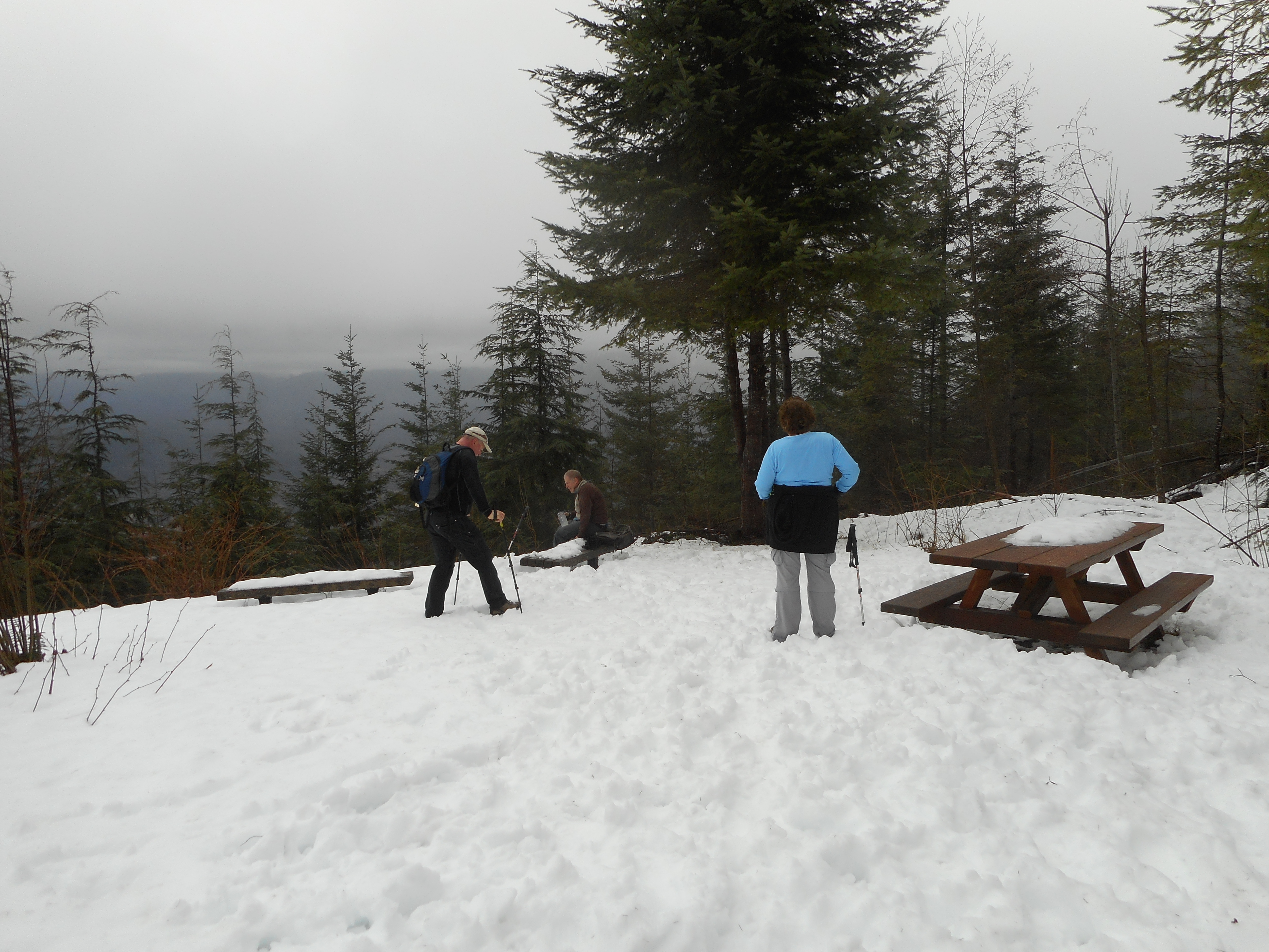
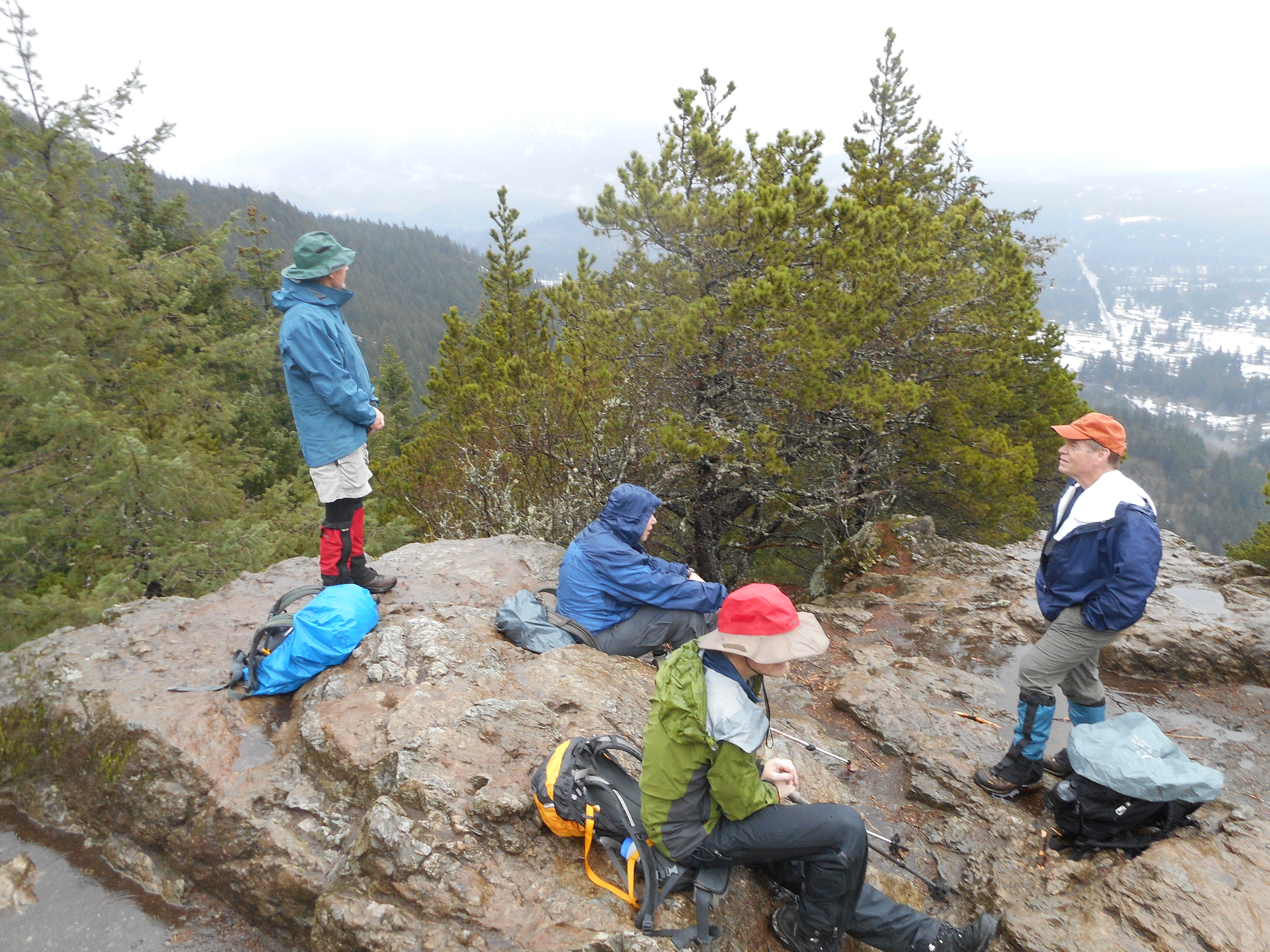
I met Carl and Mark this morning at 7:30 at the Exit 27 Rattlesnake Mountain trail head and we hiked the four miles to Grand Prospect.

On the way down we saw an unusual sight: a trail-running couple with a ram on a leash.  By ‘ram’ I mean a huge, goat-like animal with horns.  Running along with them.  On a leash.

I am glad I had witnesses because who would believe me?

Carl and Mark, my witnesses

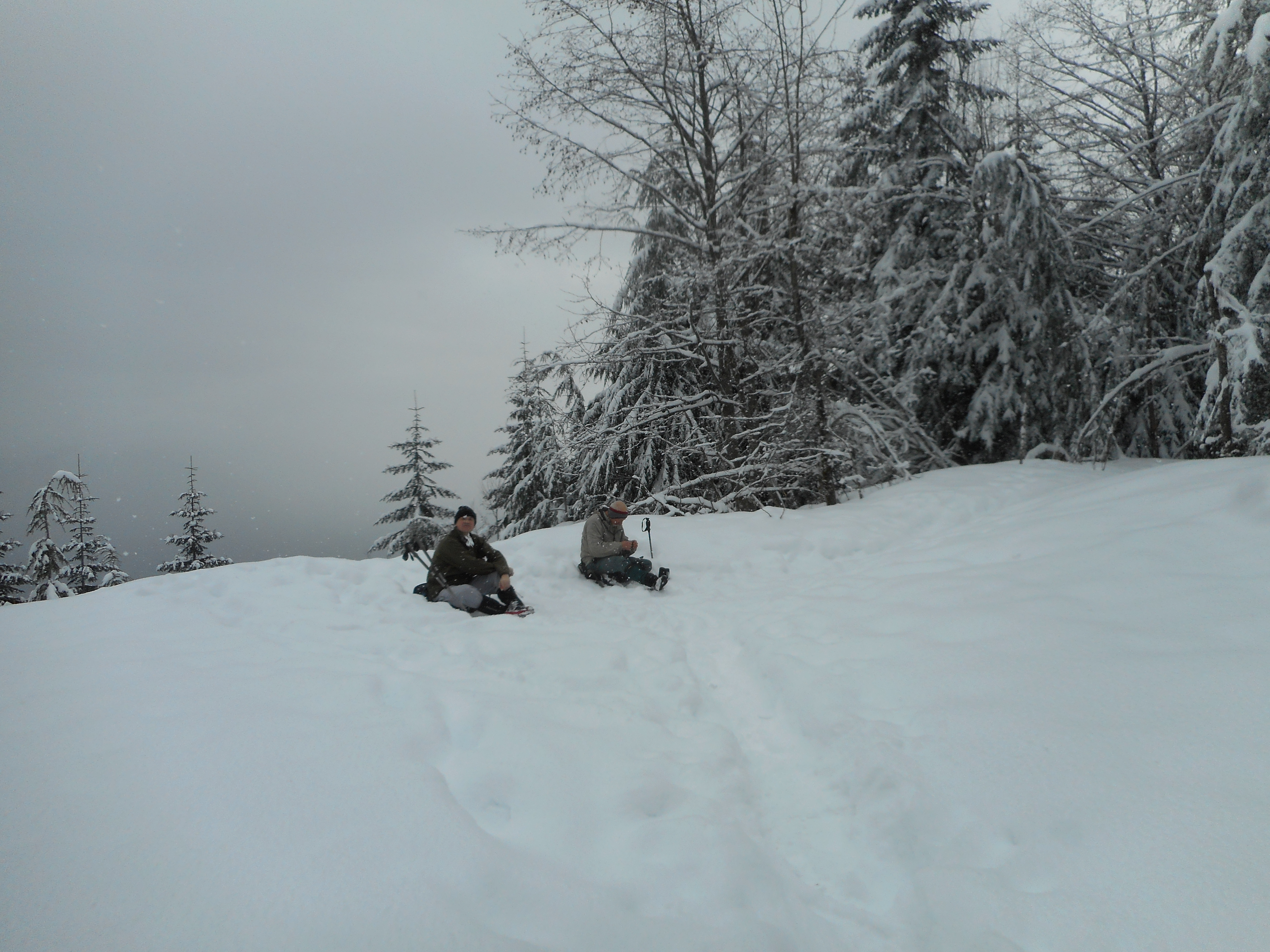
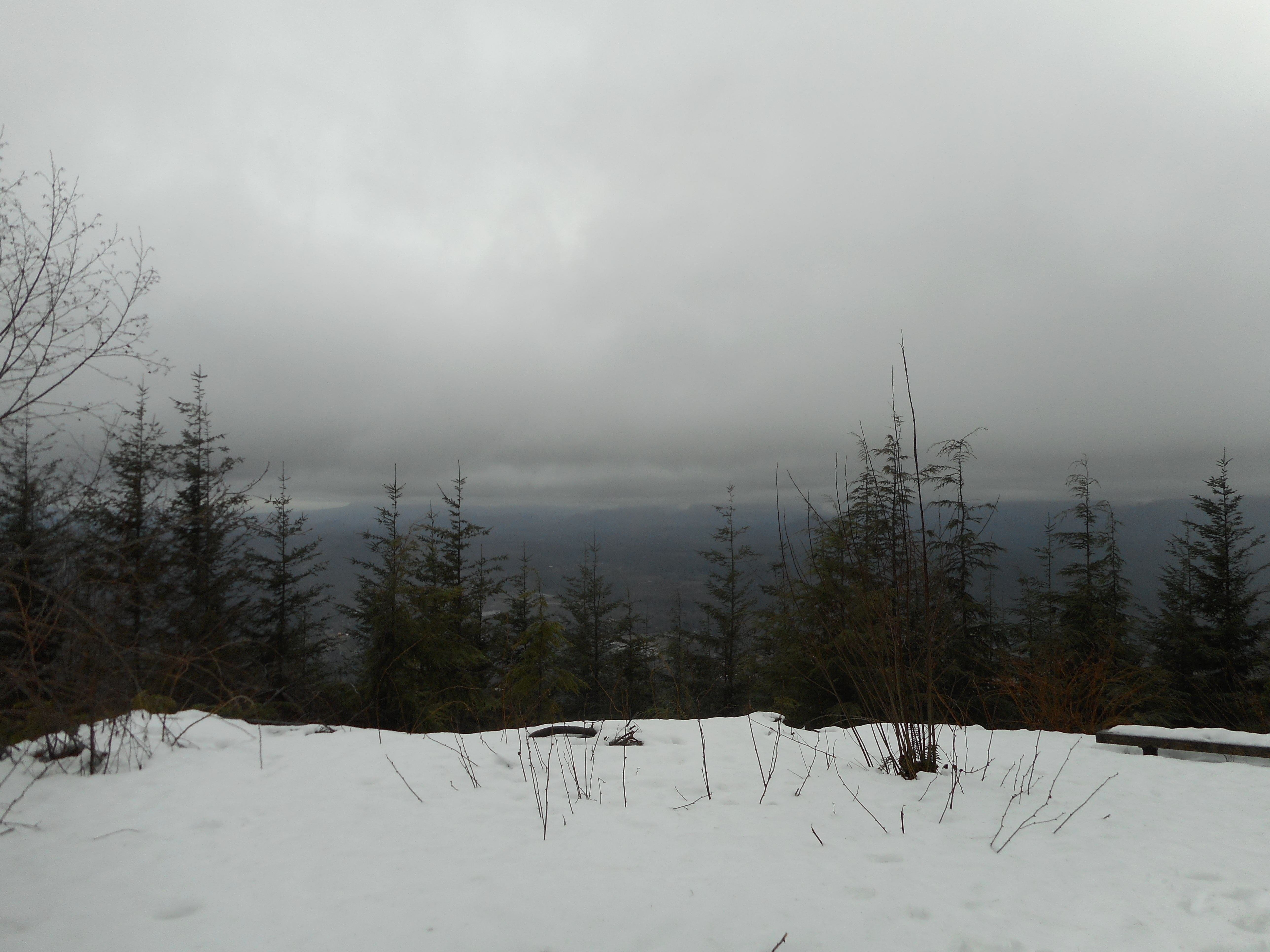
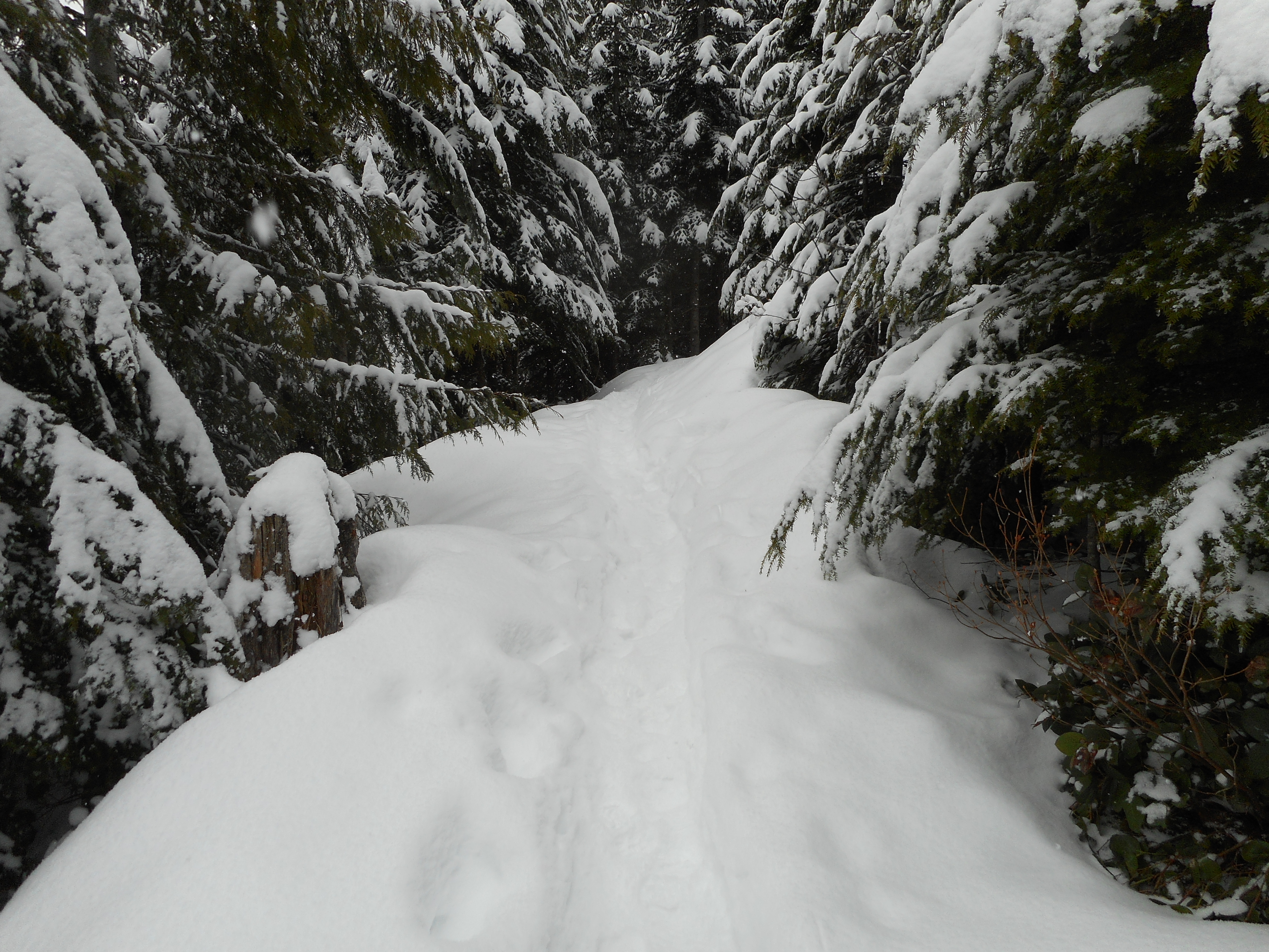
We put our spikes on for the descent, as the trail got pretty icy towards Grand Prospect.  Lower down, no snow, then a little snow packed down, then some pretty deep stuff – very beautiful.

The trail
The trail

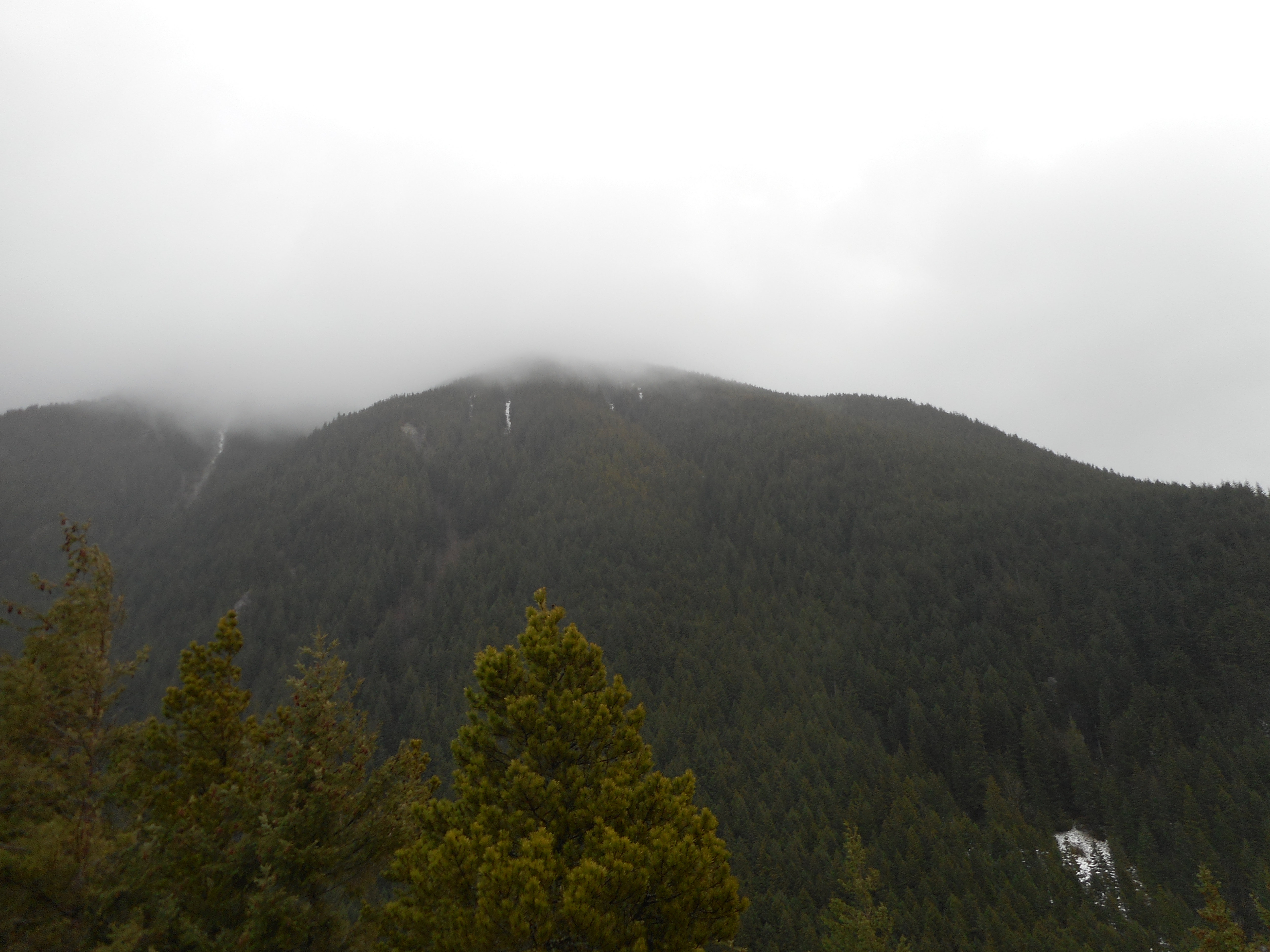
I have already mapped this mountain several times so I didn’t bring the Garmin today.  It is about 2K elevation gain, 8 miles round trip.  Lots of fun and a great workout.

Chirico Trail to Poo Poo Point 2/22/2017

I forgot the camera today – too bad, since there is a nice view at the top – but I did bring the Garmin.  Link to the track below.

I met Ken and Carl in the parking lot and the plan was to go to Tiger #1.  I believe they did go on but I turned around at Poo Poo Point.  This hike is a bit steeper than I thought and I want to save my legs for Saturday.

Anyway, a day off from work and a decent workout, it’s all good.

http://adventures.garmin.com/en-US/by/djhiker/chirico-trail-to-poo-poo-point-2-22-2017/#.WK3pLE2Qw5s


Tiger #3 via Section Line/Nook Trail 2/18/2017

Middle Tiger from Tiger #3 Summit

Rainy day hike with Carl, Ken, Greg and Mark.  Fun group, challenging hike.

We started from the E Sunset Way lot and went up the usual route: connector trail to Puget Power, to Adventure, to High School to Section Line.

Where I usually go down via Nook Trail, we went up.  And up.  From that point, 1100 feet elevation (parking lot is about 50 feet) to the summit at 2550 it is a little more than a mile.  The first .5 miles gains 800 feet.  The trail is “unmaintained”.

We went down the same way.  I didn’t bring my Garmin so I can only estimate about 8 miles, 3.5 hours, 2700 or so feet of elevation.  Figuring that isn’t as easy as subtracting start from high point, since there are so many ups and downs along the way.

We did get pretty wet but it wasn’t too bad.  Great workout!

Carl and Summit Sign
Mark, Greg, Ken
Mark, Greg, Ken

Stan’s Overlook 2/11/2017

View from Stan's Overlook
View from Stan’s Overlook

I met Ken and Wendy and Greg today at the Exit 27/Snoqualmie Point parking lot.  We did a short hike to Stan’s Overlook with a bit of snow (see above).  Ken and Wendy had plans so we kept it short.

I am going to go somewhere tomorrow – perhaps to Tiger 3 – so I will get a really good workout in before it is back to the grind on Monday.

Don't know who Stan is but this is his overlook
Don’t know who Stan is but this is his overlook

Track:

http://adventures.garmin.com/en-US/by/djhiker/stans-overlook-2-11-2017/#.WJ98QE2QyM8

Little Si 2/4/2017

Big Si
Big Si

Raining like crazy today so we did a short (4.7 miles) hike up Little Si.

Pretty slushy snow on the bottom half of the trail, just wet the rest of the way.

Not much of a view at the top:

Not much to see today

But a fun outing with some great guys:

David, Carl, Mark, Mike on top of Little Si
David, Ken, Mark, Mike on top of Little Si