Tiger Mountain 11/24/2016 (Thanksgiving!)

I am so thankful for Finley and Camden

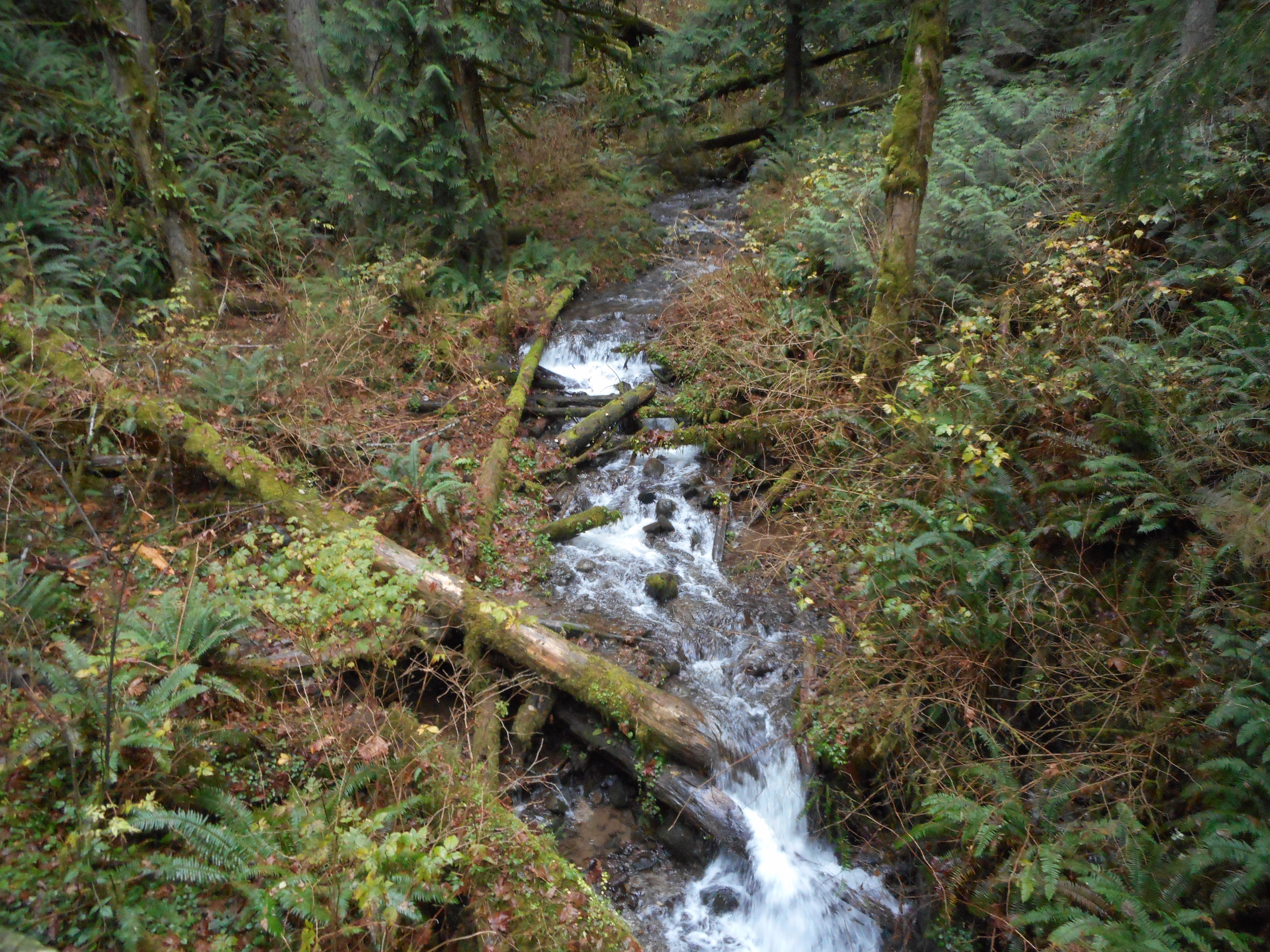
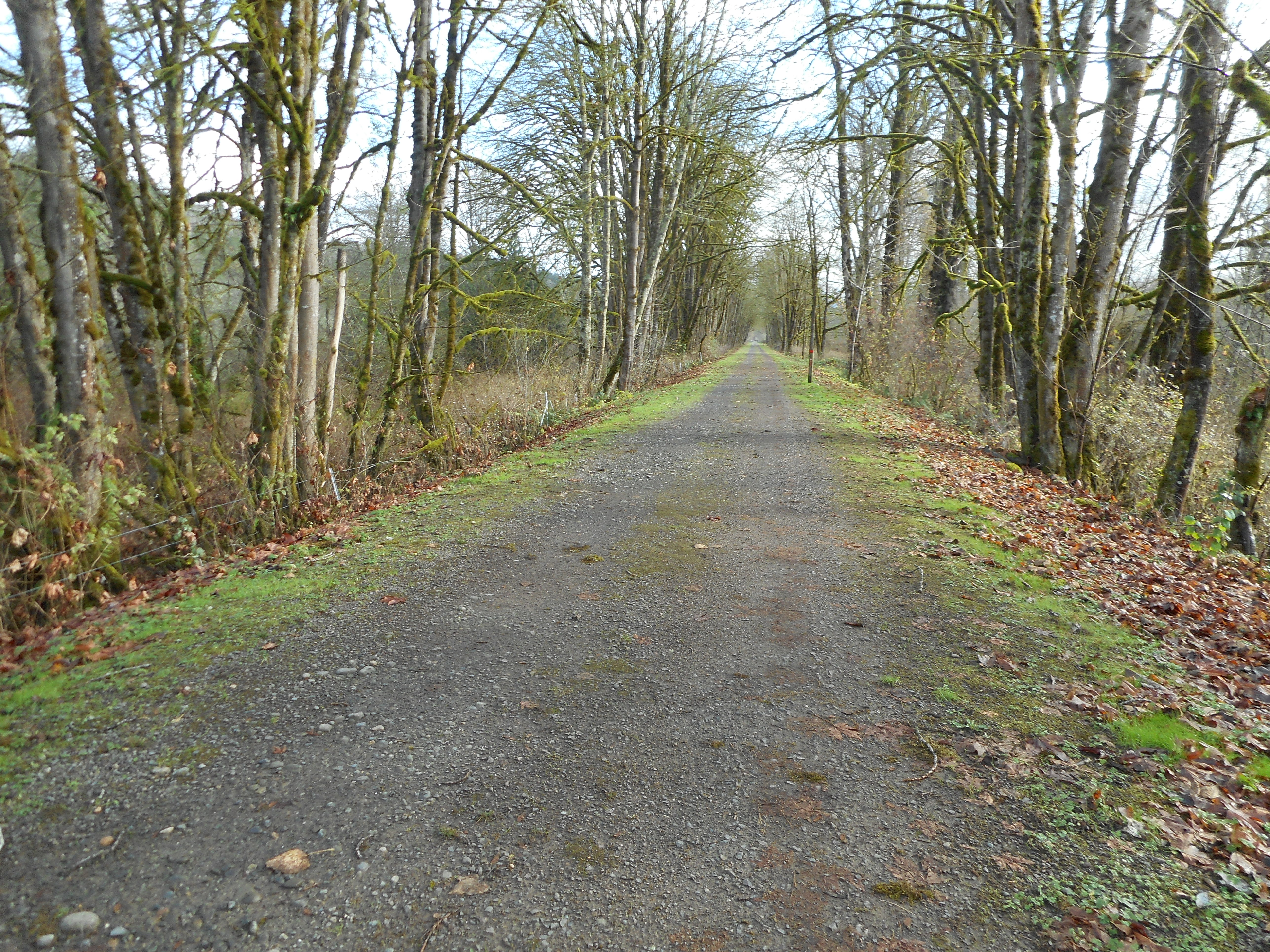
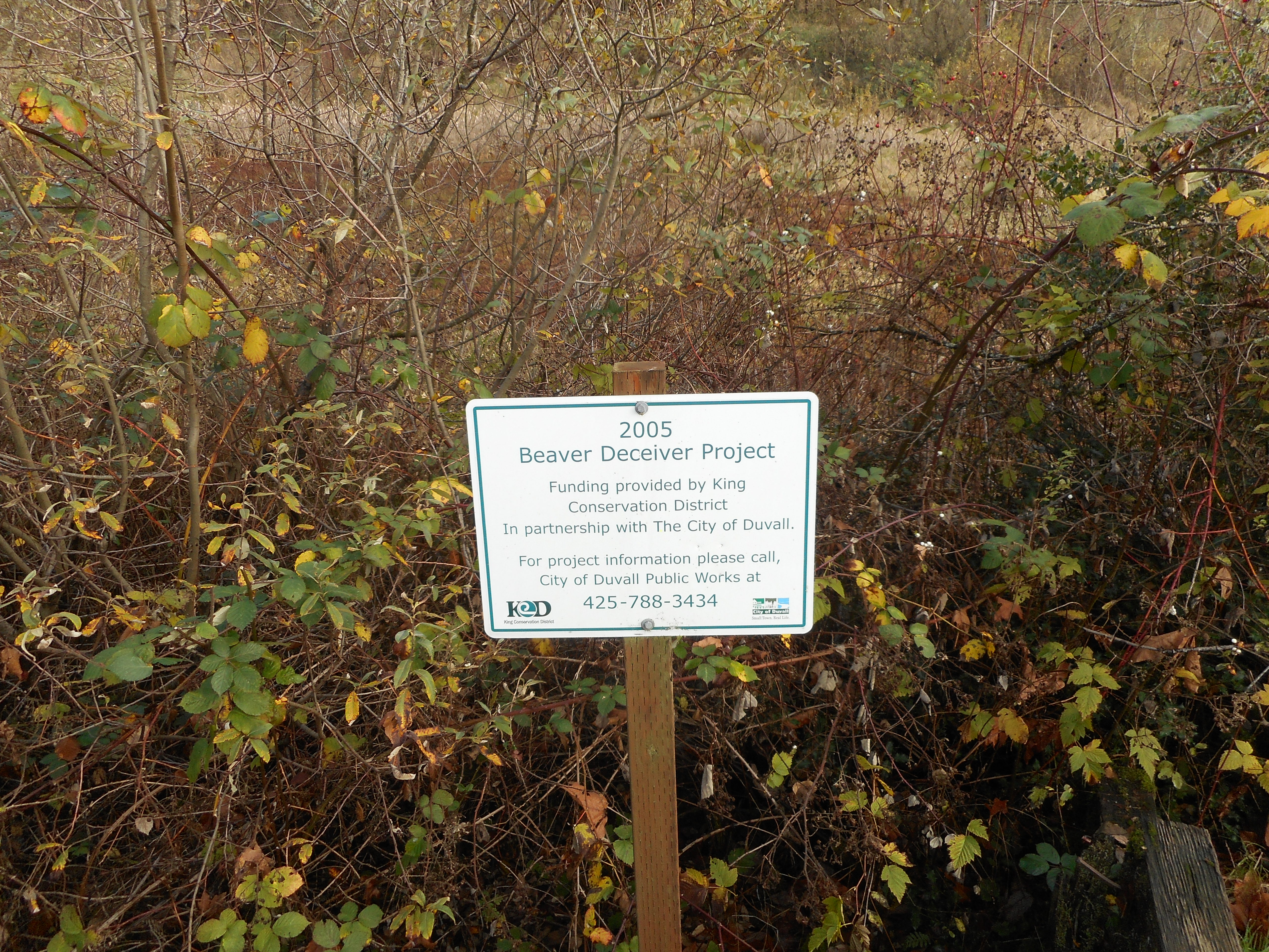
Derek and I did a moderate (7.2 miles, 4.5 hours, 2,900 feet of elevation gain) hike today.  We met at 6 at the Poo Poo Point trail parking lot, left my car there and drove to the Cable Line Trail Head.

You can see on the visualization below we took a complicated route up to Tiger 2 summit, and we started on the famous Cable Line trail.  I was just at Tiger 2 a few weeks ago with the Saturday crew, but we came from a different direction.

Tiger 2 Summit
Tiger 2 Summit

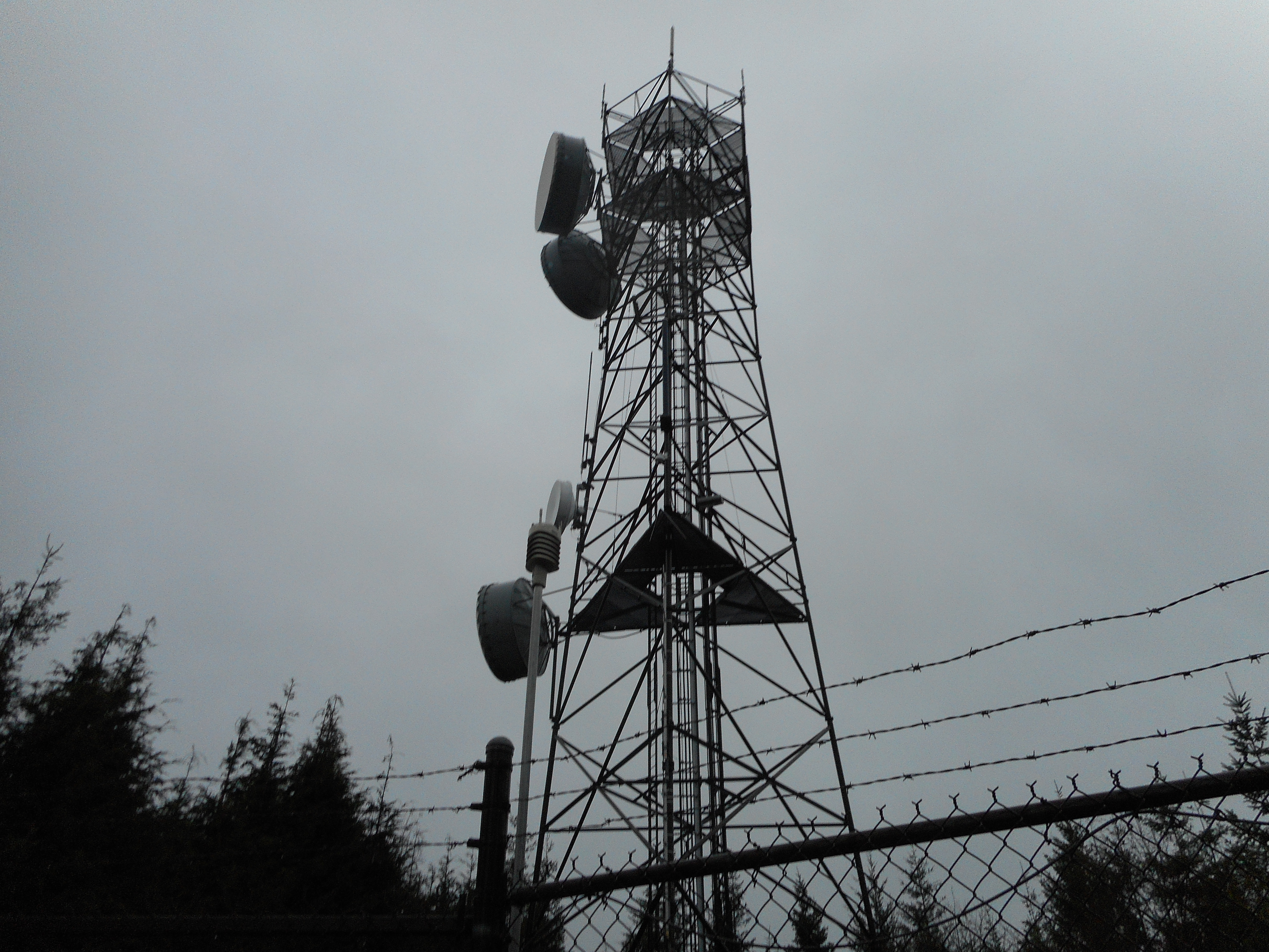
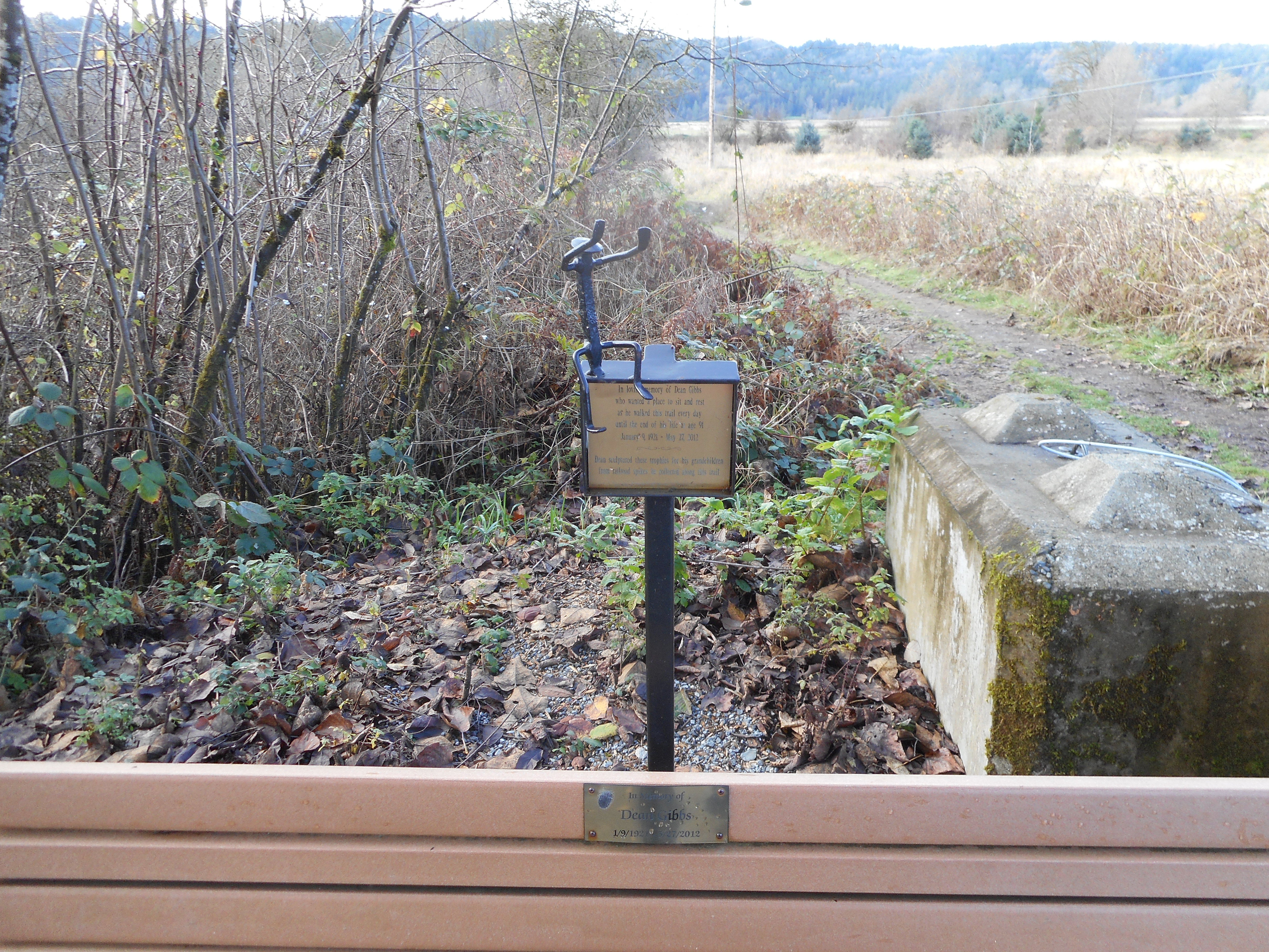
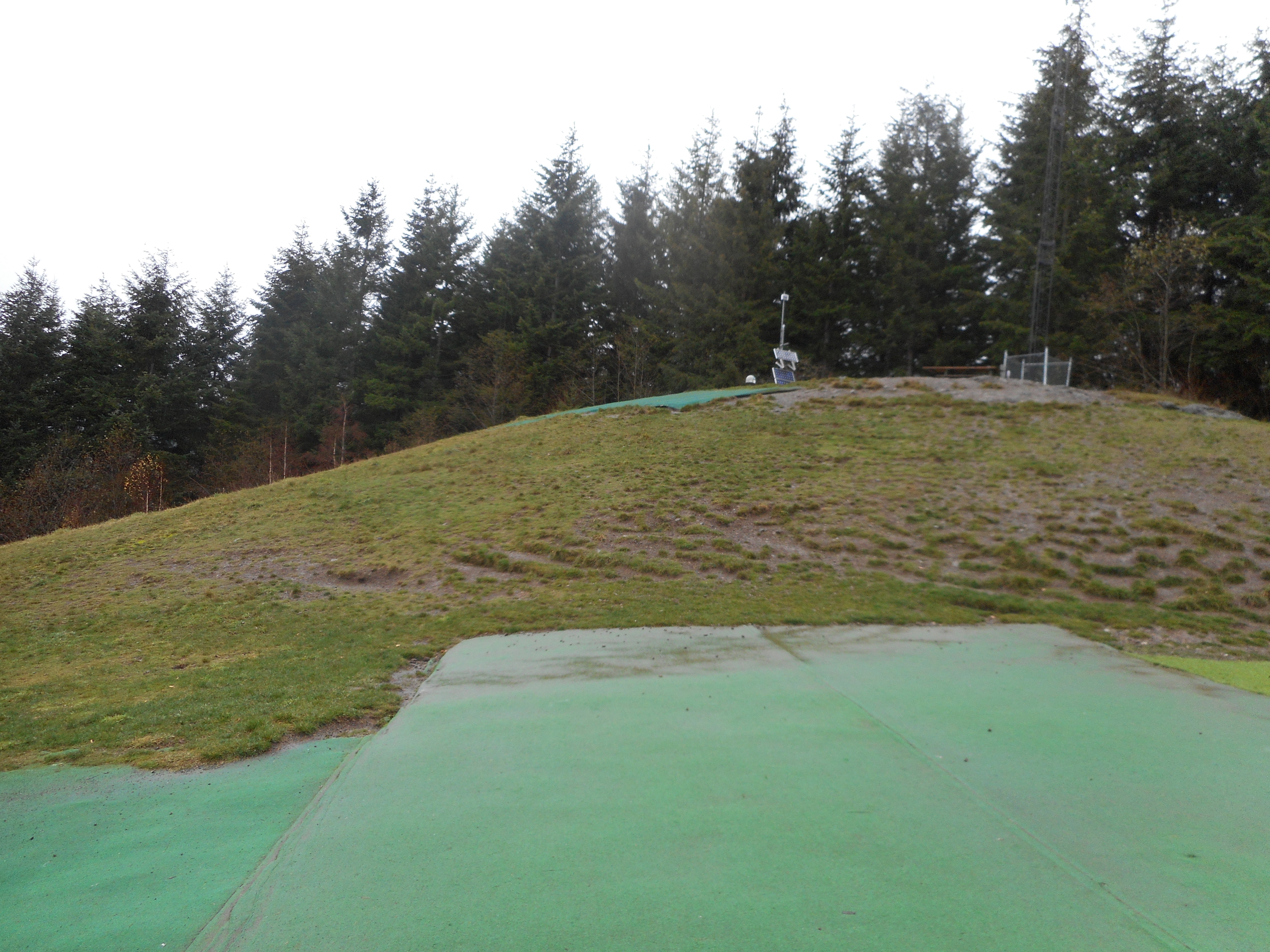
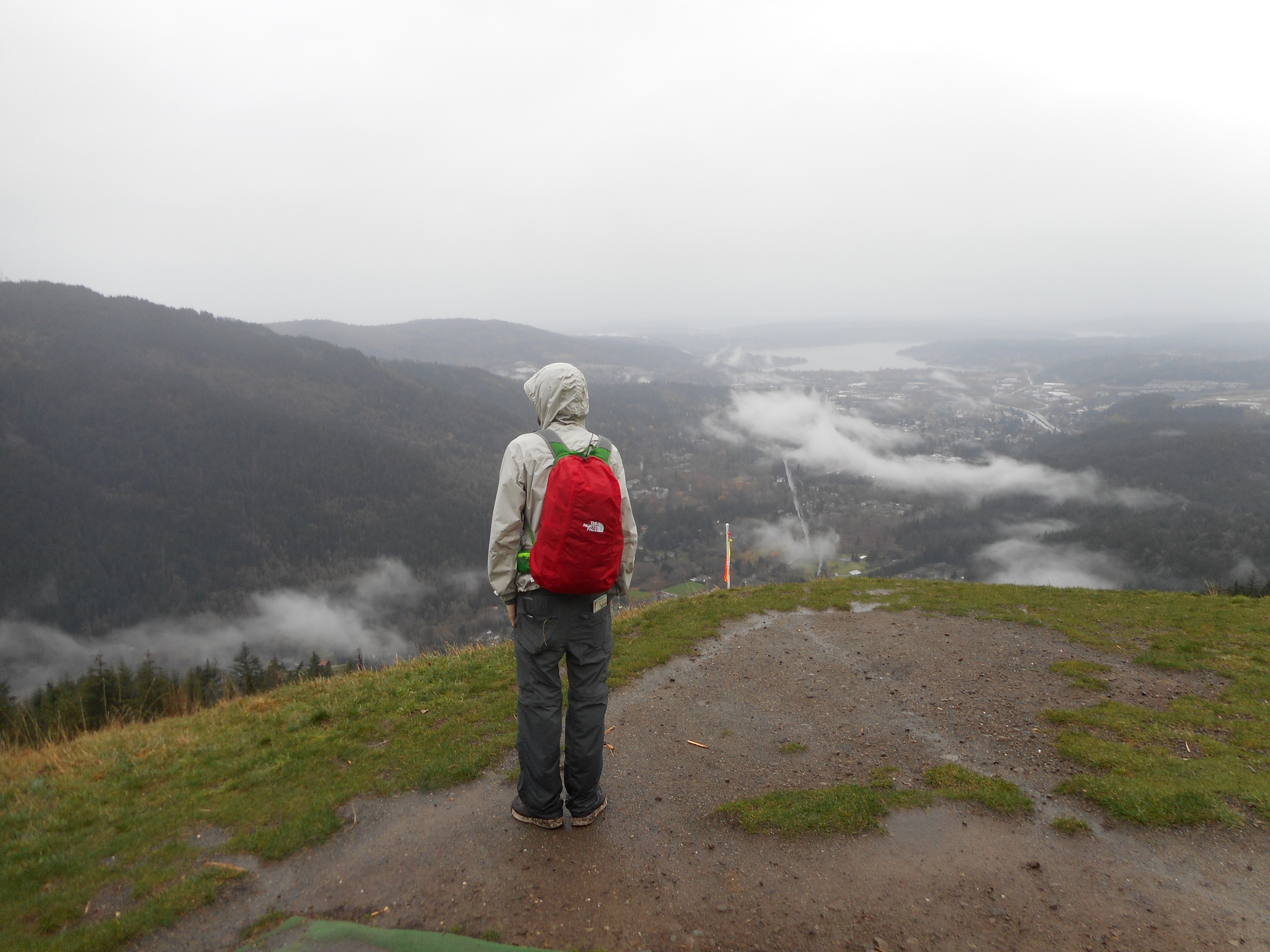
We took an unmaintained trail down from the Tiger 2 summit and finally hooked up with Poo Poo Point.  This is a popular spot for paragliders.

Launching Pads
Launching Pads

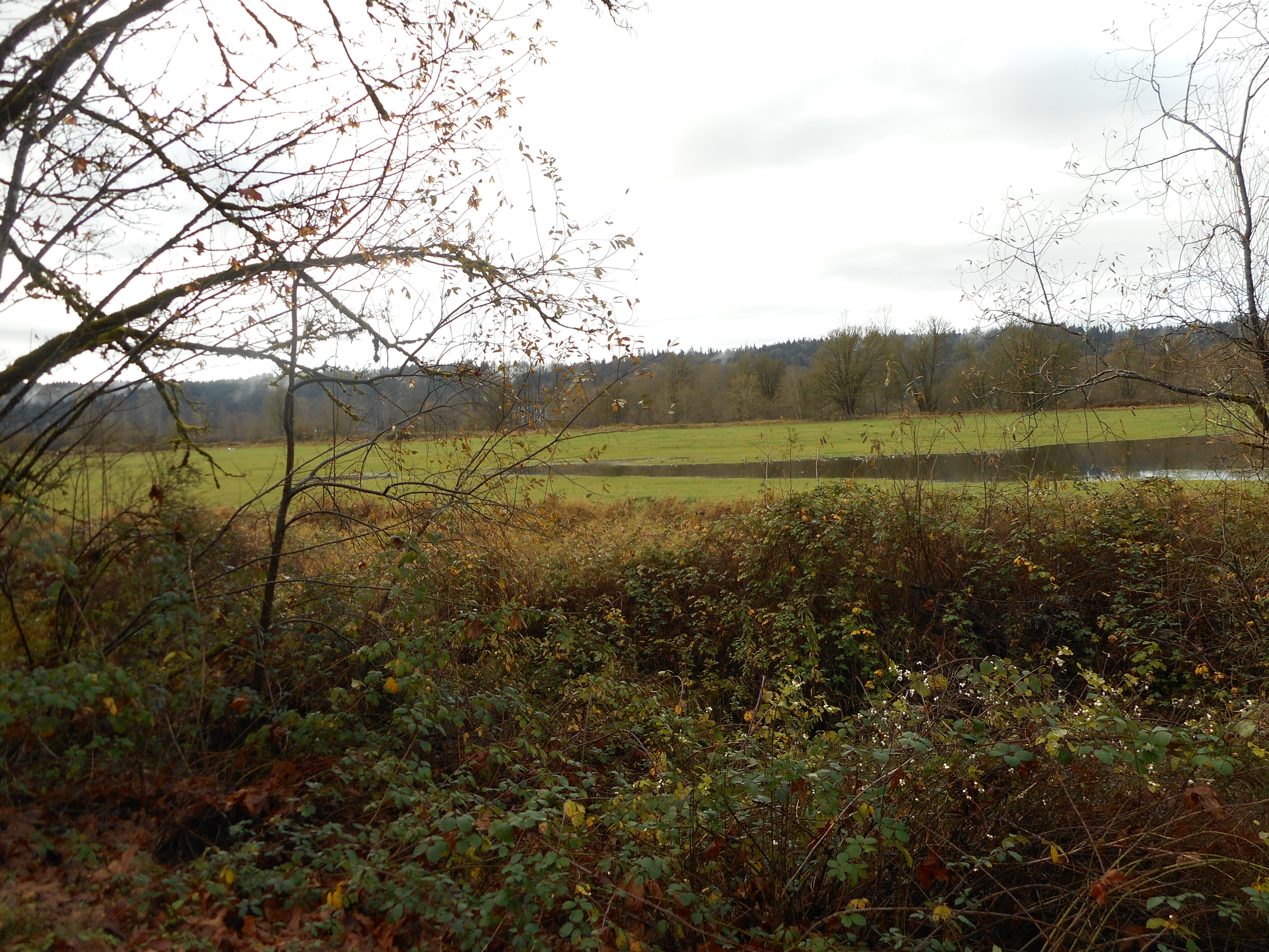
And it has an interesting view of Issaquah and the surrounding lakes and lower mountains:

Derek at Poo Poo Point

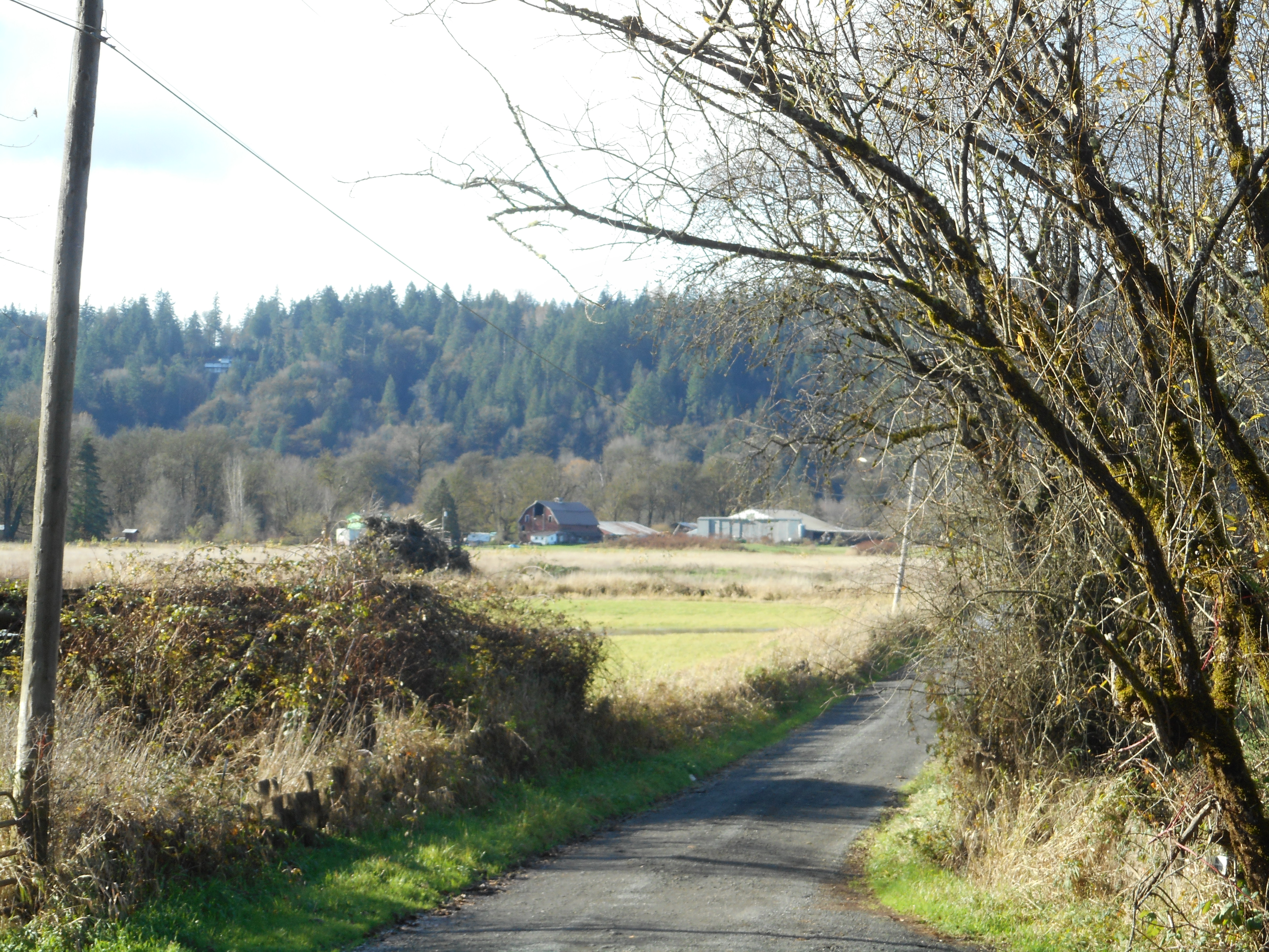
After the hike we went to Derek and Jill’s place in Snoqualmie for a delicious Thanksgiving brunch.  Delicious french toast made from croissants – voila!

I expect to hike in the snow on Saturday to Mason Lake – probably at least a foot up there by now and it should be fun.

Visualization:

http://adventures.garmin.com/en-US/by/djhiker/tiger-mountain-11-24-2016/#.WDdmS02V-po


Poo Poo Point Trail 11/19/2016

Nice little waterfall

I met up with Greg, Mark and David at the Exit 22 Park and Ride.  The forecast was for lots of rain and it was drizzling a bit.  We hatched a plan on the spot.

Someone had noticed that the High Point Exit, Exit 20, was massively crowded, as if some kind of event was going on.  And, sure enough, a Google search reveals a half and full marathon event in the area today.  So High Point was out but I suggested we try the E. Sunset Way trail head and so we headed there.

We took the connector trail up to Puget Power, the Adventure Trail to High School trail, and then the Poo Poo Point trail.

About 3.5 miles from the car there is a trail junction with a sign indicating that Poo Poo Point is .5 miles away.  But we turned around, since Greg was getting some very nasty blisters on his heels.

He is going to Mexico in a few weeks to climb two tough mountains and he is trying to break in some serious mountaineering boots.  The result today was blisters.  He was able to get down OK since most of the weight going down is on your toes, and Mark broke out a couple of moleskins.

So, it was about 7 miles, at a nice clip.  Not many views, since we were in the forest the entire time, but I happen to like being in the forest.  It seems to peaceful.

And we hardly got wet, except from sweat.

Maybe 2200 feet of elevation gain altogether (some ups and downs along the way) and a very fun hike.

Sno Valley Trail 11/17/2016

For Dean Gibbs
For Dean Gibbs

Off work today, I guess I was lazy, I wound up driving to Duvall and parking near the Snoqualmie Valley Trail and walking on that nice, level trail.

Along the way I noticed a bench set to memoralize one Dean Gibbs, who walked that trail until the last of his 91 years on earth, and made little statues for his grandkids from railroad spikes – you can see one on top of the little plaque.

He sounds like my kind of guy.

Anyway, plenty of photo ops.

The Trail
The Trail
Rural view
Rural view
Looking south along the trail
sheds and a barn
sheds and a barn
I like the blue barrel
the landscape is moist

I saw this sign indicating a ‘Beaver Deceiver’:

Still not sure exactly what this is

I Googled it up and found information but it seemed a bit vague to me.  Basically, beaver deceivers are ways of re-directing beaver behavior from behavior humans don’t like to behavior humans can tolerate.  And without hurting the beaver, unless it hurts their feelings to be deceived.

This trail runs along the Snoqualmie River which, today, is not all that high.  But it often floods and here is how high it has gotten during the past: (the 1% indicates how high the water would be during a 100-year flood):

Flood Levels!
Flood Levels!

It is a pleasant walk in a rural area.  You see things like this:

It is this kind of area

And, looking in the direction of the arrow:

The Trees
The Trees

Voila!

I parked near the Duvall Police Department and, before the walk, stopped in at the local Duvall Coffeehouse for a cup of coffee.  Historic?  Well, it is a river town so it has some history.

Duvall
Duvall

Anyway, no elevation gain to speak of, about 9.5 mile walk on a pre-Thanksgiving day.

Rattlesnake Mountain to just past upper ledge 11/12/2016

I didn’t bring camera or Garmin today, this was always planned to be a shortish hike on a rainy day.  We (myself, Mark, David, Mike) parked just north of the Rattlesnake Lake parking lot in a side road and crossed the street to go up the old Rattlesnake Trail.

This is the route we took a few weeks ago when we did a traverse.  This time, due to some time constraints we went up to the upper ledge, then decided to go 15 minutes more and turn around.

Not much of a view today, it was socked in.  We got wet but it was not a continual downpour.  We all had waterproof jackets and hats and rain pants anyway, so all we got was just a bit overheated.

This old trail is steep, it gets you up to the first ledge in about 1/2 the distance.  It is nice workout.

We estimate about 6 miles round trip, maybe 2K elevation gain, less than 3 hours.