IHT to McClellan Butte 4/27/2017

No photos today, forgot the camera.

Useful hike, because I learned that the road from the freeway to McClellan Butte parking lot (Exit 42 on I-90E) is now open.

I parked at the 2nd Exit 38 parking lot, crossed the road and went up the Hall Creek Connector trail to the Iron Horse Trail (IHT).  From there I went east to the McLellan Butte trail and down that trail to the trail head and down the road to the freeway.

Last couple of trip reports showed the road closed due to blow downs, but it is now open.

11.5 miles, saw maybe 4 people the whole time, just over 4 hours round-trip.

My track:

https://adventures.garmin.com/en-US/by/djhiker/iiron-horse-trail#.WQJ1oNy1upp
Rattlesnake Mountain/East Peak Tax Day 2017

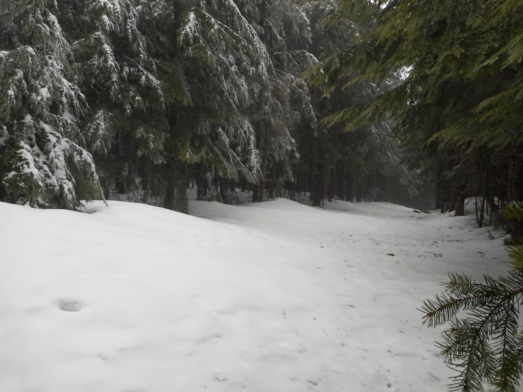
There is still snow up there

We didn’t quite make it to East Peak.  We stopped about where I took that picture and doubled back – we had already done almost all of the elevation gain – the conditions were really bad.

Not the weather, that was OK.  We stumbled into some sort of trail running competition.  Literally, every 45 seconds or so we had to step off the trail and wait for trail runners.  Obnoxious.

We (Mark, Ken, David and I) stopped for coffee afterward and we did get a nice workout and here I am, back home, safe and sound.

Central Peak/Squak Mountain 4/9/2017

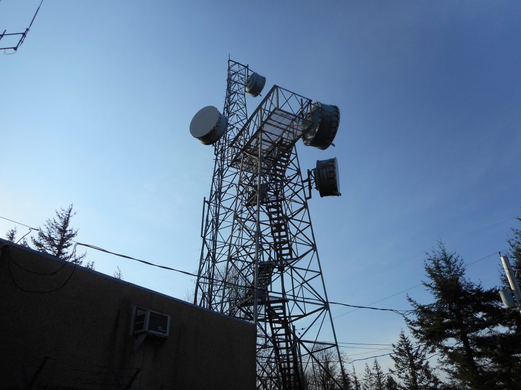
Central Peak Microwave

Solo, I finally made it to Central Peak.  We were on the right track (see GPS at end) but just didn’t push on far enough.  I took the trail to Central Peak and then, just to see how it was, took the road back down.

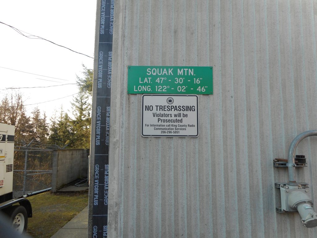
Precise "you are here" sign
Precise “you are here” sign

Not a bad forest hike at all.

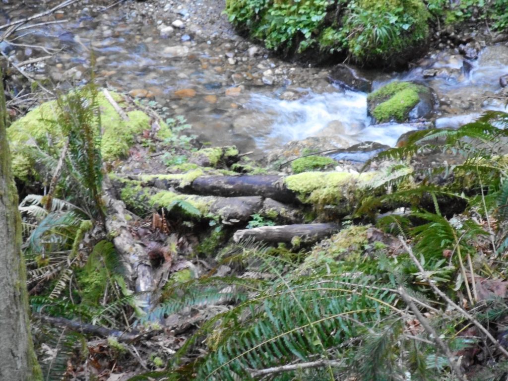
Nice little mountain stream

https://adventures.garmin.com/en-US/by/djhiker/squak-mountain-central-peak-4-9-2017#.WOp9hU2QxD9


Wallace Lake 4/1/2017

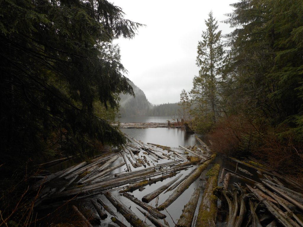
Wallace Lake
Wallace Lake

Nice rainy day hike today with Ken and Wendy Mallit, Mark, David, and Carl.

This hike is outside our usual Snoqualmie/Issaquah Alps area.  It is farther north and east, off Highway 2, near Gold Bar.

This trail is amazingly popular.  Even today, a totally rainy day, saw tons of people on the first part of the trail, and a full parking lot (and this lot is large) when we got back about 11:30 or so.

Most of the people are going to Wallace Falls.  If you look at the GPS track:

http://adventures.garmin.com/en-US/by/djhiker/wallace-lake-4-1-2017/#.WOASIk2Qypp

You can see that about 1.5 miles from the trail head the trail splits.  We took the Greg Ball Trail and went to the lake.  This trail was almost empty.  But the falls are magnificent and the hike is fairly easy, so there are hundreds of people on the trail.  A nice hike to try on a rainy week day.

Just over 8 miles, 2K elevation gain, 3.5 hours, a good workout to a beautiful sub-alpine lake.