Once again the forecast, which called for no rain, was wrong. But this time I brought all my rain gear so I did not get soaked on the way up to Stan’s Overlook. By the time I was just below Stan’s the rain had turned to drizzle. And by the time I got back to the car the drizzle had fizzled. As I type, here near Bothell, it is a nice, sunny day.
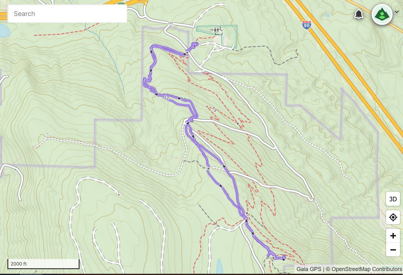
Track is below. About 4 miles, not a tremendous workout but good enough to get the heart pumping.
I should be able to get out on Sunday and I am thinking of seeing how the trail to Quartz Ridge is these days. Blowdowns? Snow? Only one way to find out.
My plan this morning, after reading the forecast for ‘clouds in the morning, sun in the afternoon’, and checking the radar, was to do my basic conditioning hike on Tiger Mountain. I didn’t bring my rain pants because it wasn’t supposed to rain.
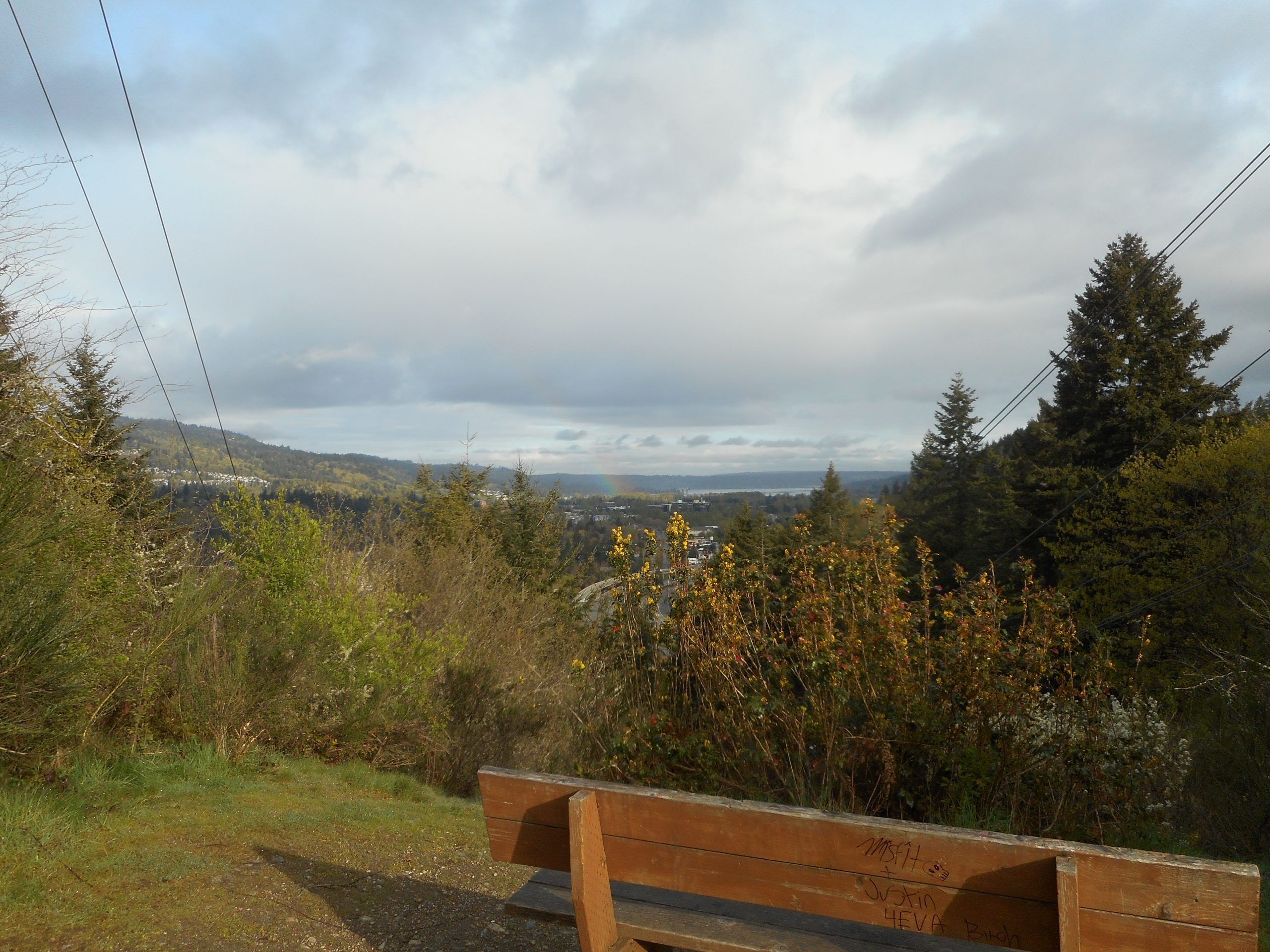
But when I got near the Section Line Trail the sky opened up. Drat! I detoured to the Wetlands Trail and then back down. My pants were soaked. But as I got to the viewpoint along the Puget Power Trail, the rain stopped. I could see a rainbow off to the west: (look closely)
A Rainbow (if you look closely)
so I could see where the rain had gone.
Only about 3 miles, not very much elevation gain, not a total bust but not what I needed. I’ll be back on Friday for a better one.
Another great day here in the Pacific Northwest. Leg is fine.
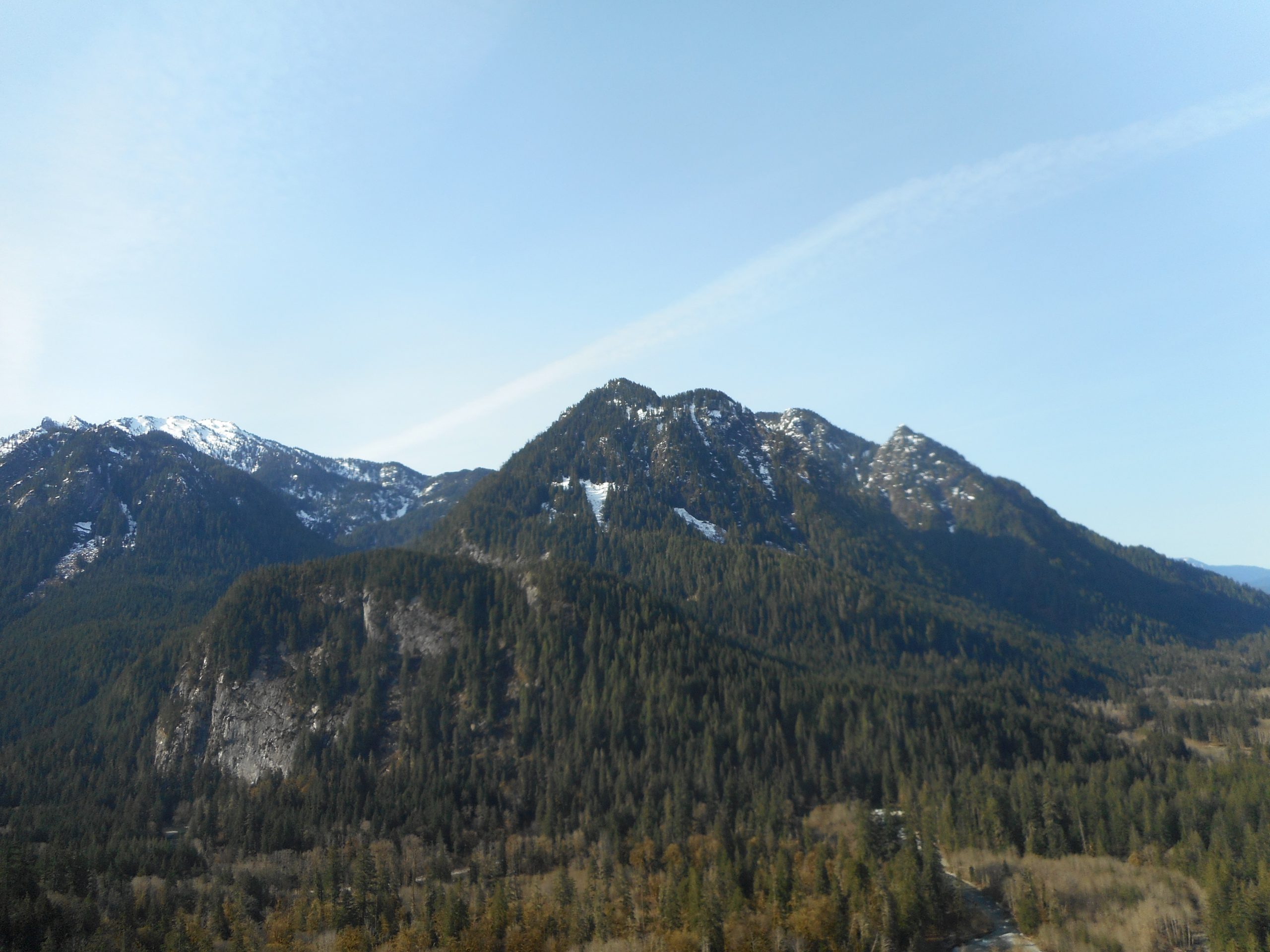
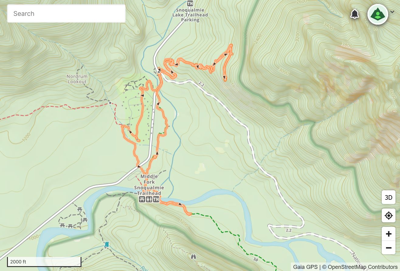
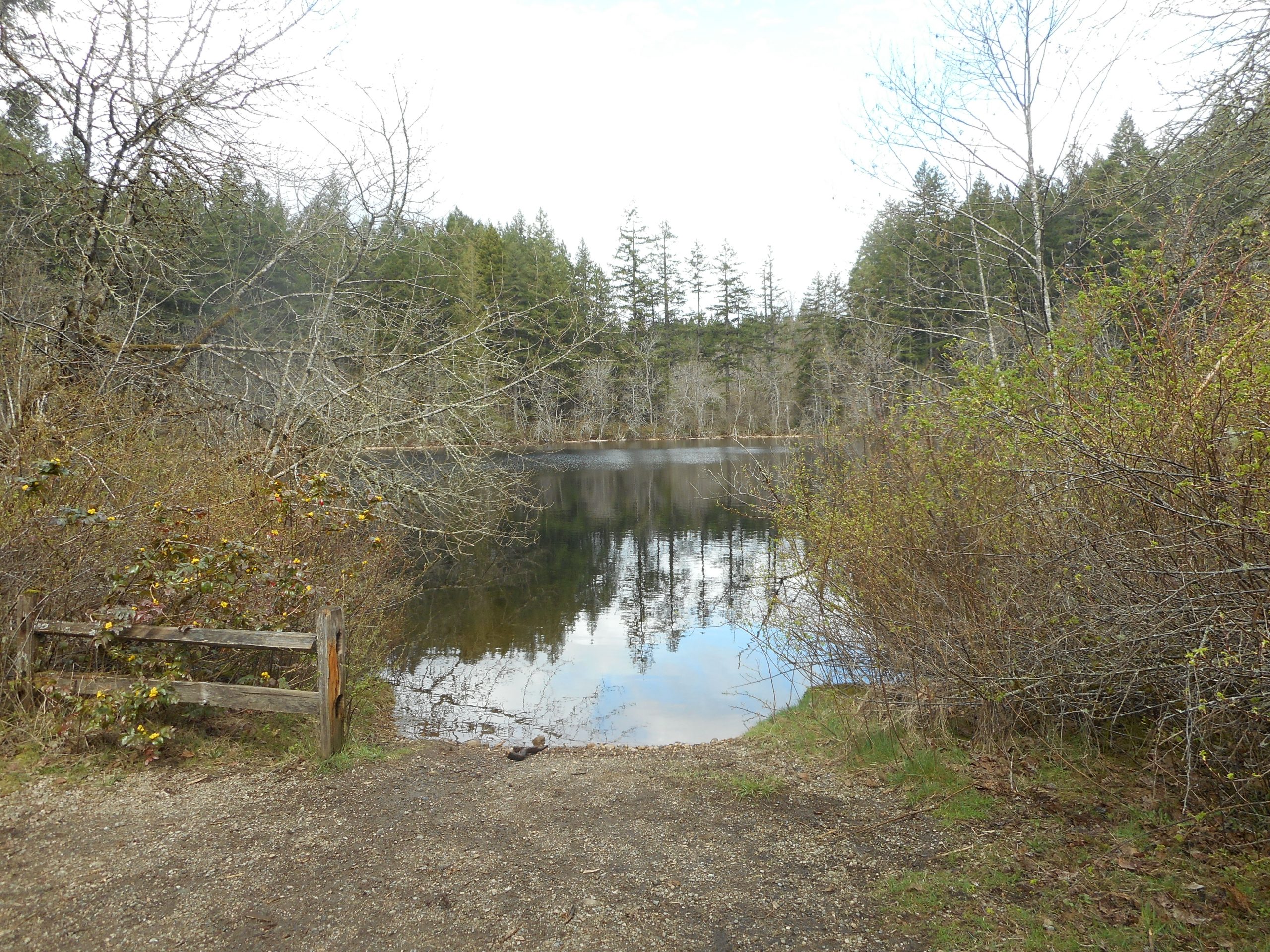
I parked at the Middle Fork Trailhead and took the connector trail over to Garfield Ledges. On the way back I detoured through the Middle Fork Campground and, just for a little fun, I explored a short way on the Middle Fork Trail. I wanted to see what it is like, and it is nice.
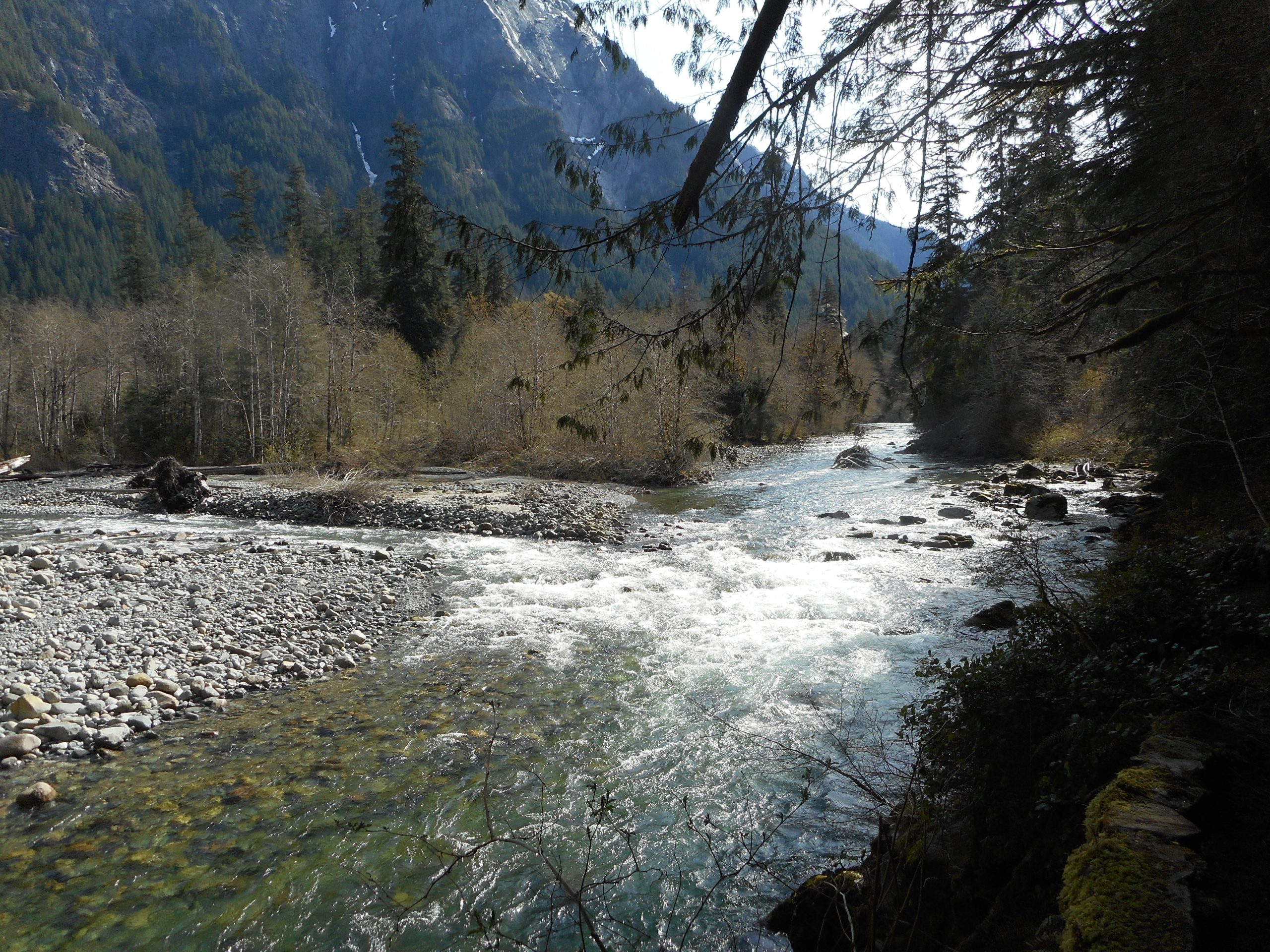
For example, you go right by the confluence of the Taylor and Middle Fork Rivers:
Rivers
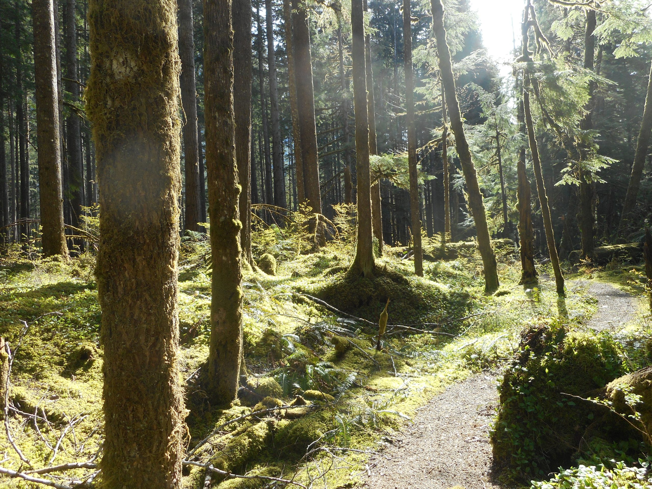
Just outside the campground the trail changed directions and I found myself in a sunny patch of the forest:
Sunny Forest Scene
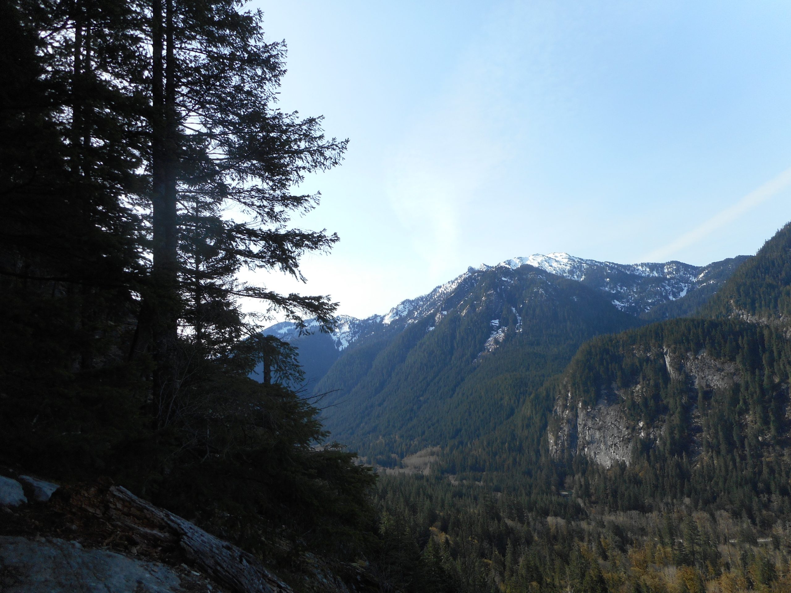
No matter what direction you look from the Ledges the view is great:
Shortly after my last blog entry I was going down a steep, slippery hill on the Tolt Pipeline Trail when I slipped and did something to my right calf muscle. I have been semi-resting it (walks but no hikes) and icing it and I figured today I would put it to the test.
Calf is feeling fine after the hike so I figure to make up for lost time and go out again tomorrow.
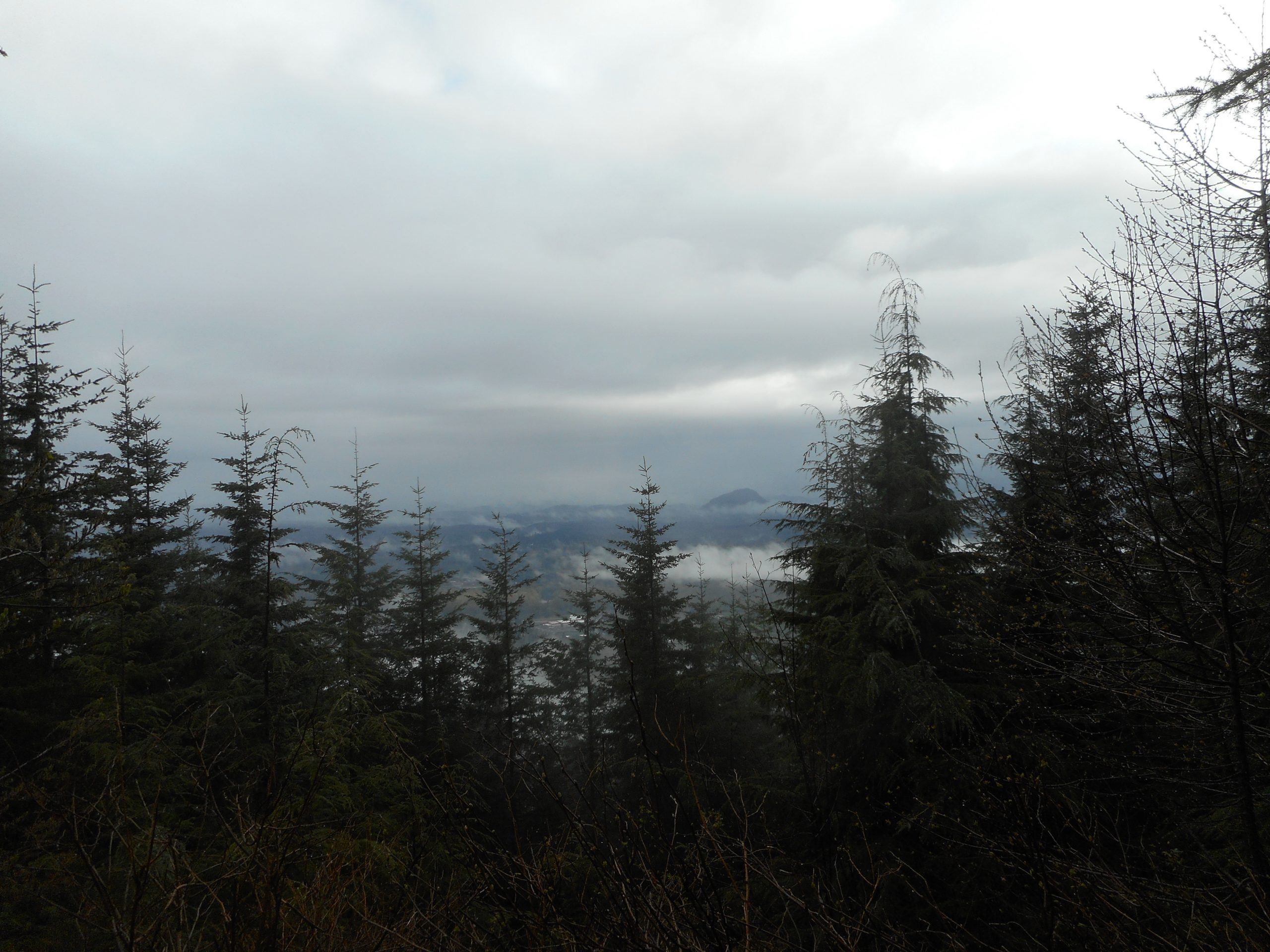
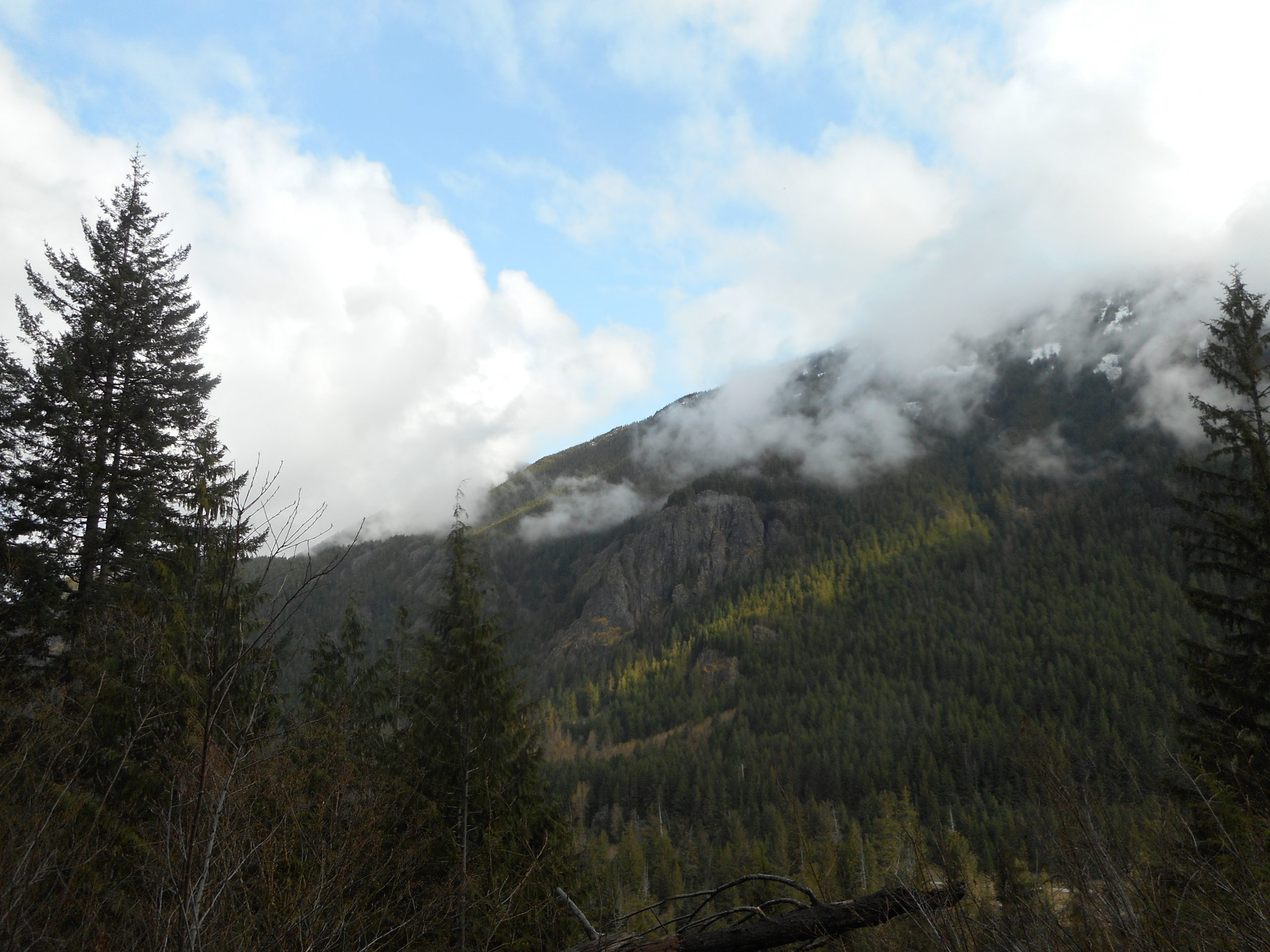
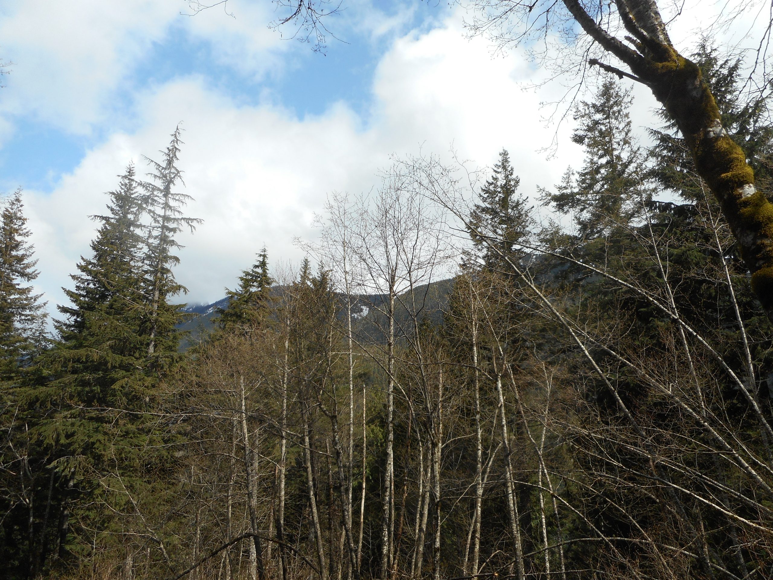
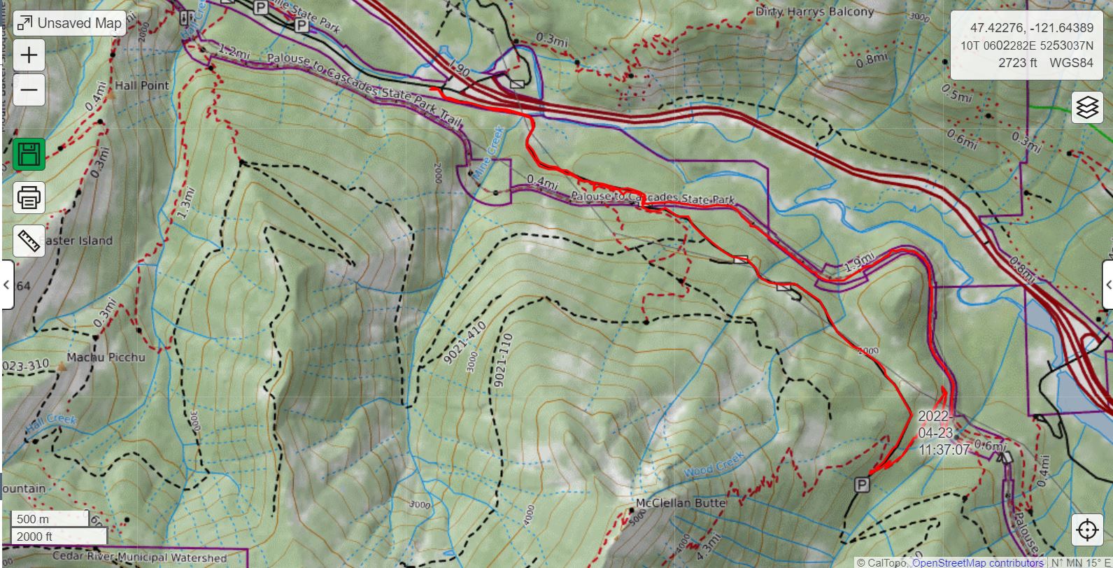
I parked on the little pullout off SE Homestead Valley Road (the road that you hit when you exit I-90 at Exit 38) and went up NF9020 to the PTC, east on PTC to McClellan Butte Trail, up that trail to NF9021, and then down and back via 9020 (intersection is just past Garcia).
6.7 miles, about 2 miles of hill on the route, very nice and peaceful (good views at times to the north):
Looking Through the Trees
except for the annoying and potentially dangerous appearance of two guys with guns, illegally shooting targets. The shooters should not be there and, in addition to the noise and the danger, they leave a terrible mess. The ‘shooting gallery’ up there is like a junkyard of gun detritus. Ugh.
But a nice day. Days are getting longer, bit by bit, warmer, and summer is looming. I definitely need to make up for a forced 2 week layoff from the mountains.
I am trying to figure out how I can get more time in the forest by economizing somewhere else (trying to save money on gas). The problem is that in my day-to-day life, I hardly ever spend money on anything but gas and groceries.
I guess what I will have to do is minimize the number of hikes beyond Exit 34 (I have to do the Middle Fork). Not sure what else to do.
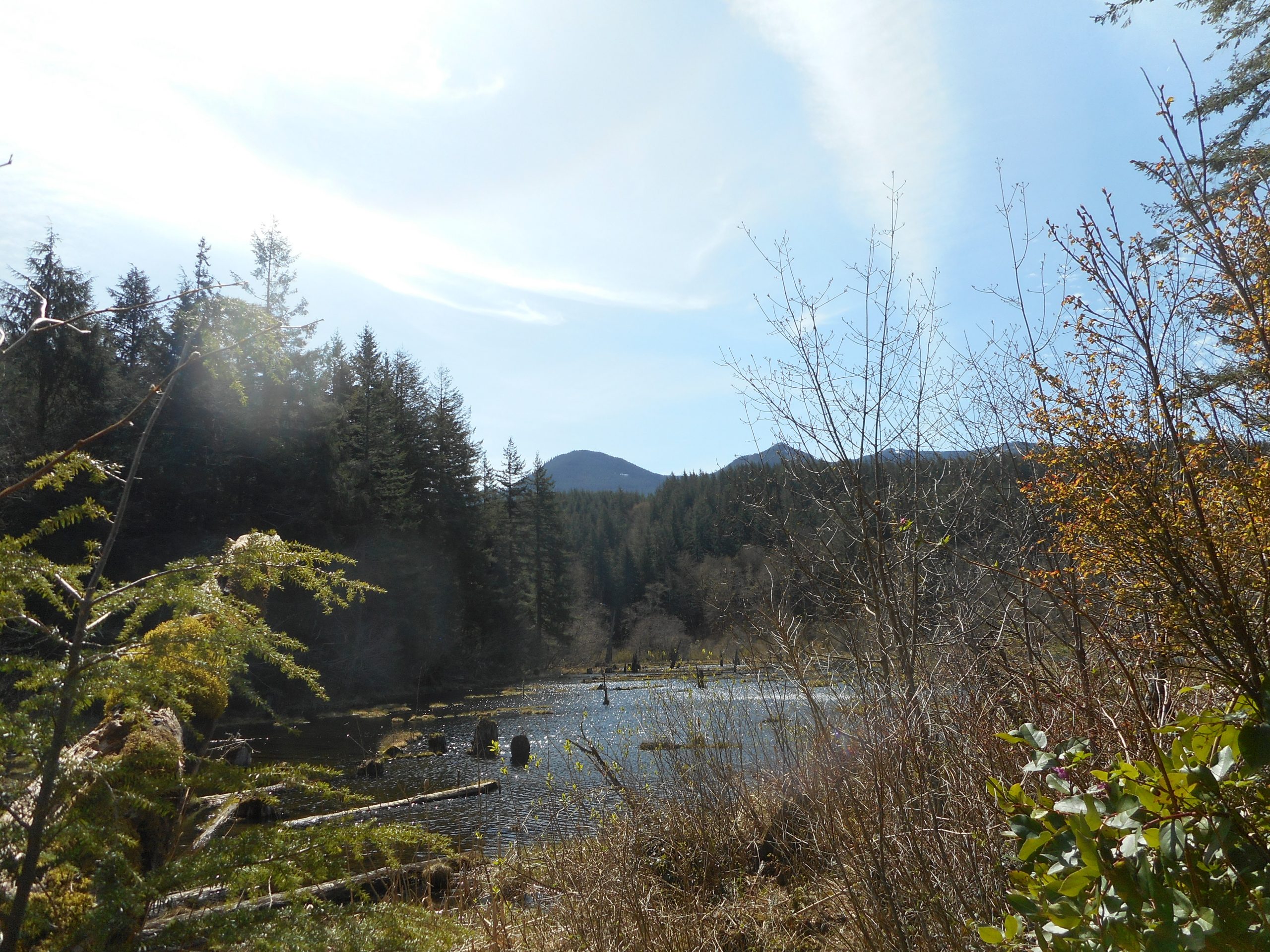
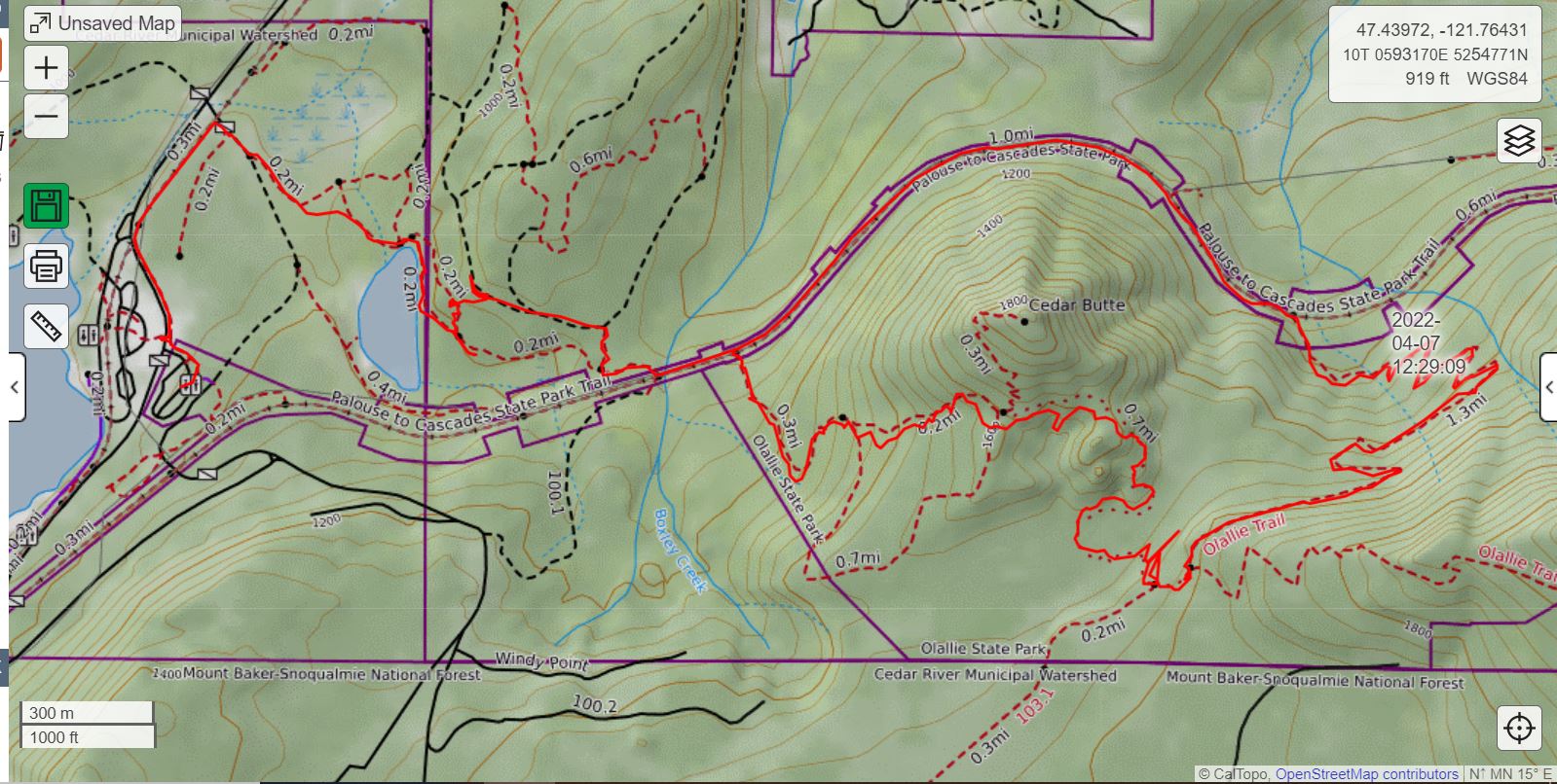
Today I went to Exit 32, near Rattlesnake Lake and did my usual Olallie Trail, via the Cedar Butte Trail and the Southside Trail. I just turned left onto Olallie and went down. Next time I will shoot for one of the viewpoints up the side of the mountain.
I took the Christmas Lake Trail on the way back, as you can see on the track. I had to break down and get a new Garmin (which goes against my native frugality). The Garmin showed 5.65 miles, but it is a mile short, as, being new, it was doing a software update when I turned it on. I reset it when I hit the Cedar Butte Trail, one mile from the car.
I love the Olallie Trail, which was constructed by and for the mountain bikers. Hikers are officially allowed to share the trail. I have one word for the bikers I have encountered: Bravo!
My personal rules for this trail are:
Bikers always have the right of way.
I always stay alert for bikes. A solo biker coming down might be quiet, sneaking up on you, so you have to be on your toes.
As I hike I scan ahead of me for places to pull off the trail to let a bike pass, and in both directions for bikes.
When a bike is nigh I pull off the trail as far as I safely can, and biker and I make eye contact and usually say ‘hi’ or whatever. If the closest biker has friends coming up behind, they will warn you, but if they are not with anyone they will tell you that as well.
So we get along just fine.
The trail is in great shape. I hiked it partway during the dead of winter and there were so many blowdowns even I, on foot, gave up and turned around. The bikers have come up and cleaned up the trail, which is in great shape:
Olallie Trail
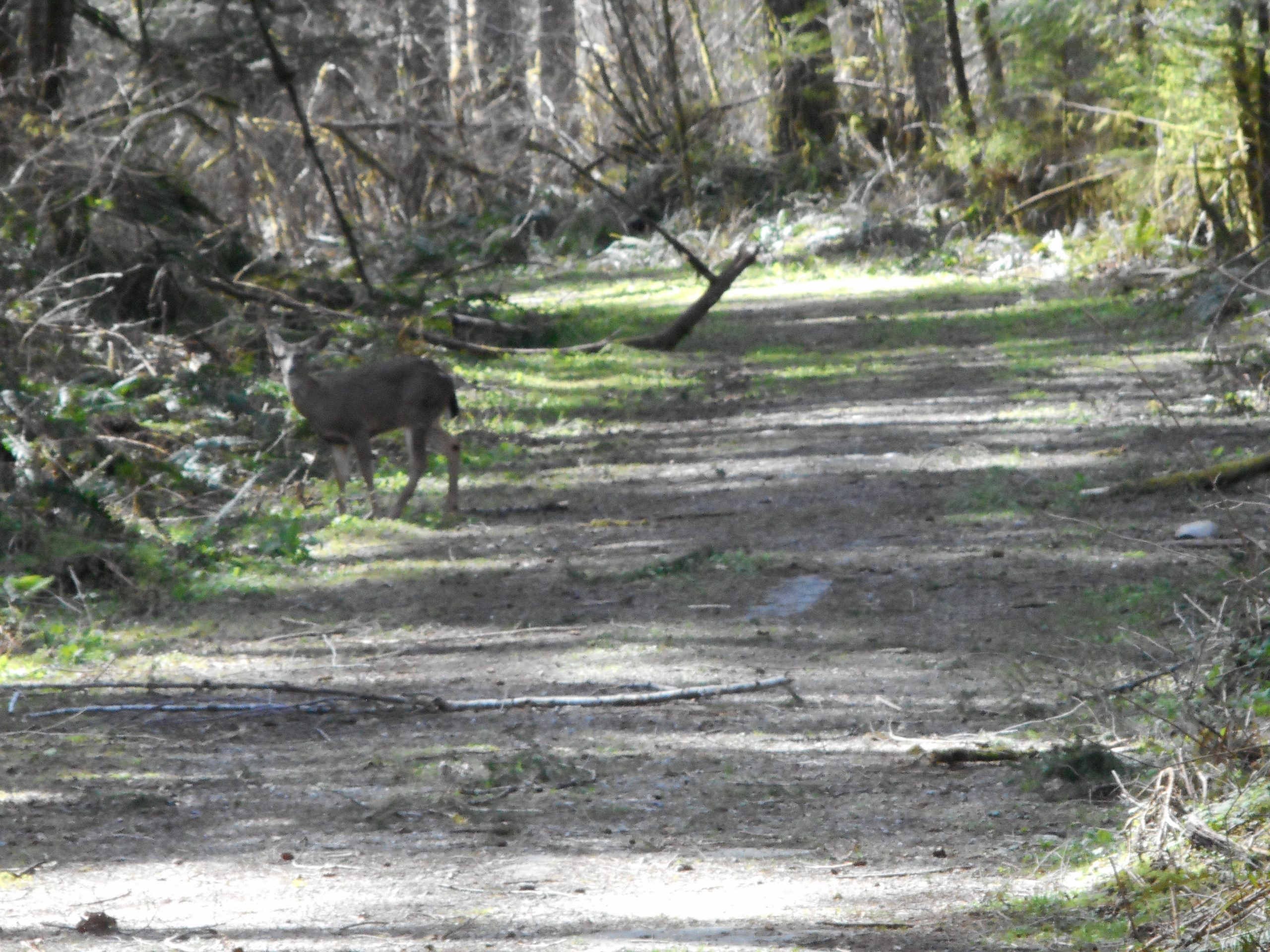
I saw a curious deer on the way back:
Deer
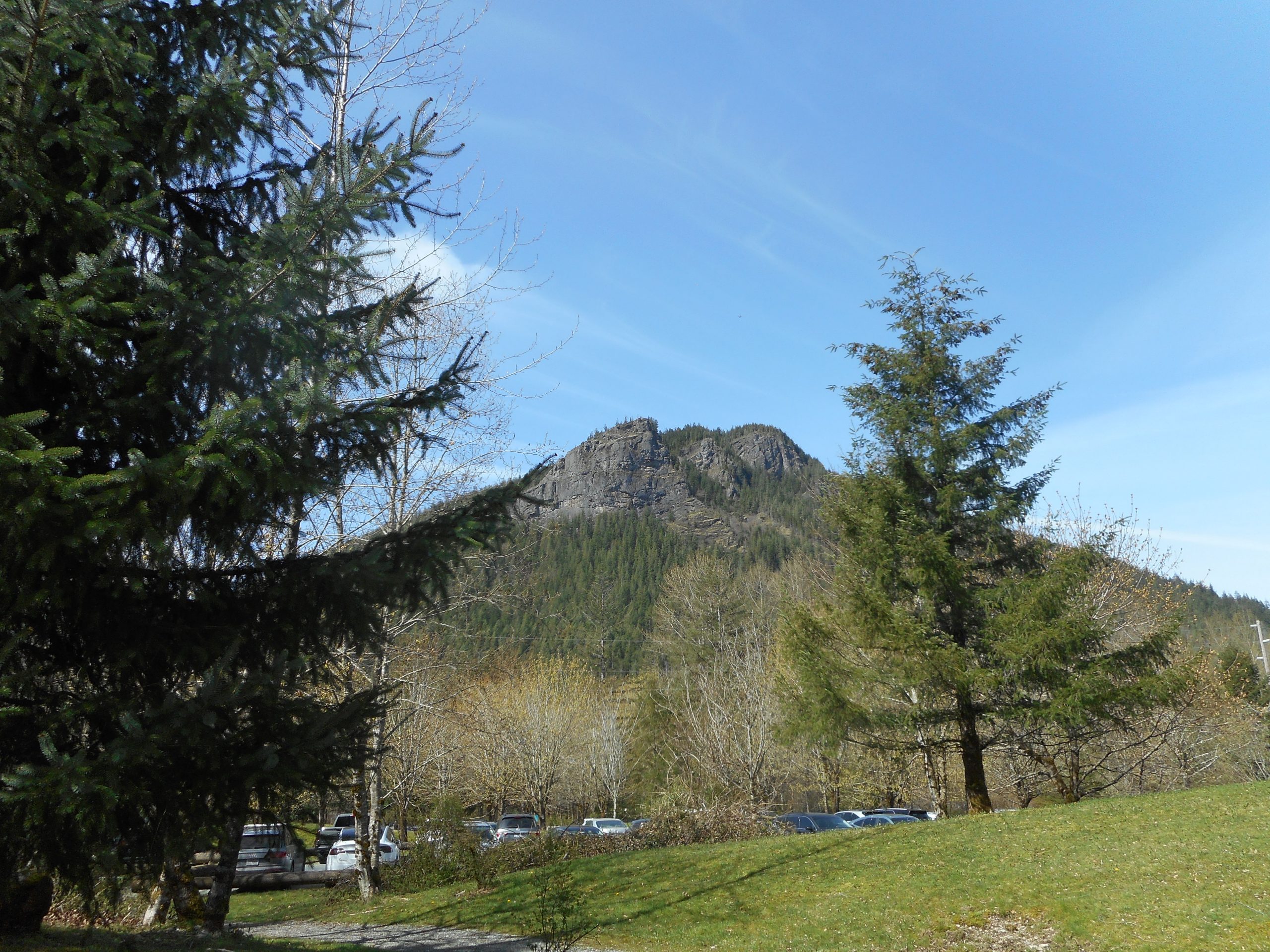
And I got this shot of the Rattlesnake Ledges, from the same spot where I snapped a picture on December 31 when I did a little snowshoe outing with Jan:
Rattlesnake Ledges
A good workout and a very fun time. Here is the track:
I did my typical Tiger Mountain conditioning hike today, up the Section Line, down the Nook Trail, and so on. I saw a quite a few people on the trails today, including a few who were more or less puzzled as to where they were and they stopped me for directions. There are many trails on Tiger Mountain so I am not surprised that a few people get confused about routing.