I did the Cedar River Watershed Education Center (CRWEC) Old Growth Forest tour again this year – my third time – this time joined by Derek. We both had a terrific time and boy! what a learning experience.
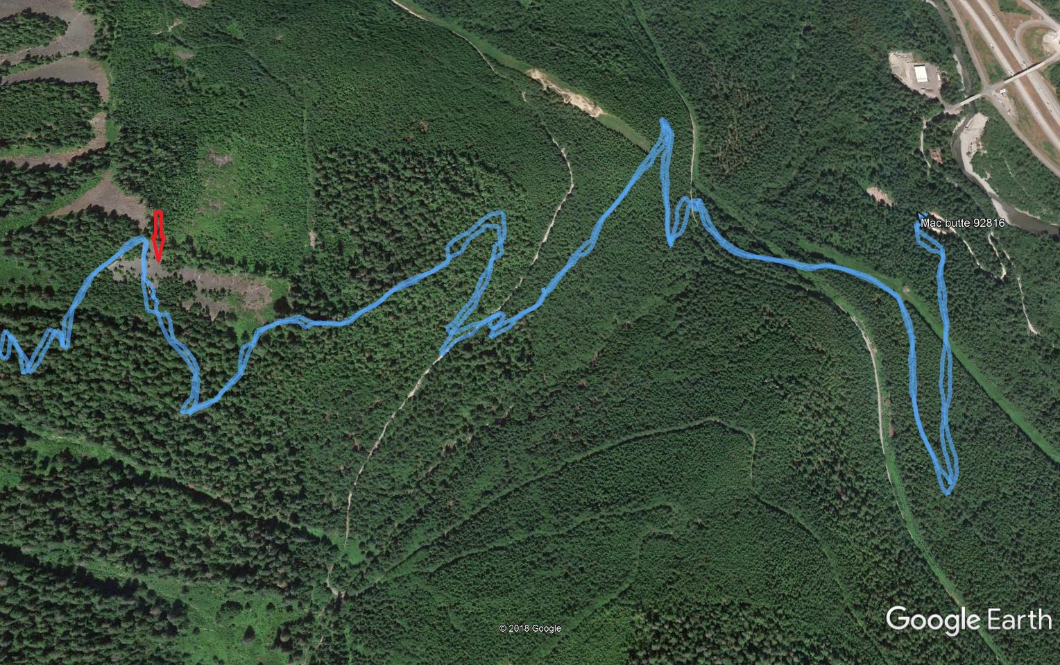
Once again Clay Antieau led our group – about 18 or 19 of us – in two vans as we drove through the beautiful Cedar River Watershed (from whence originates most of Seattle’s water supply), stopping three times to experience and learn about different aspects of the local old growth forests.
Our first stop was actually a second growth stand, so we could see the differences between second growth and old growth.
One very obvious difference (aside from the size of the trees) between second growth and old growth is the relative lack of undergrowth and the overall lack of diversity in the flora. The trees are all similar in age and height and only over time will some of them start to outgrow the other trees.
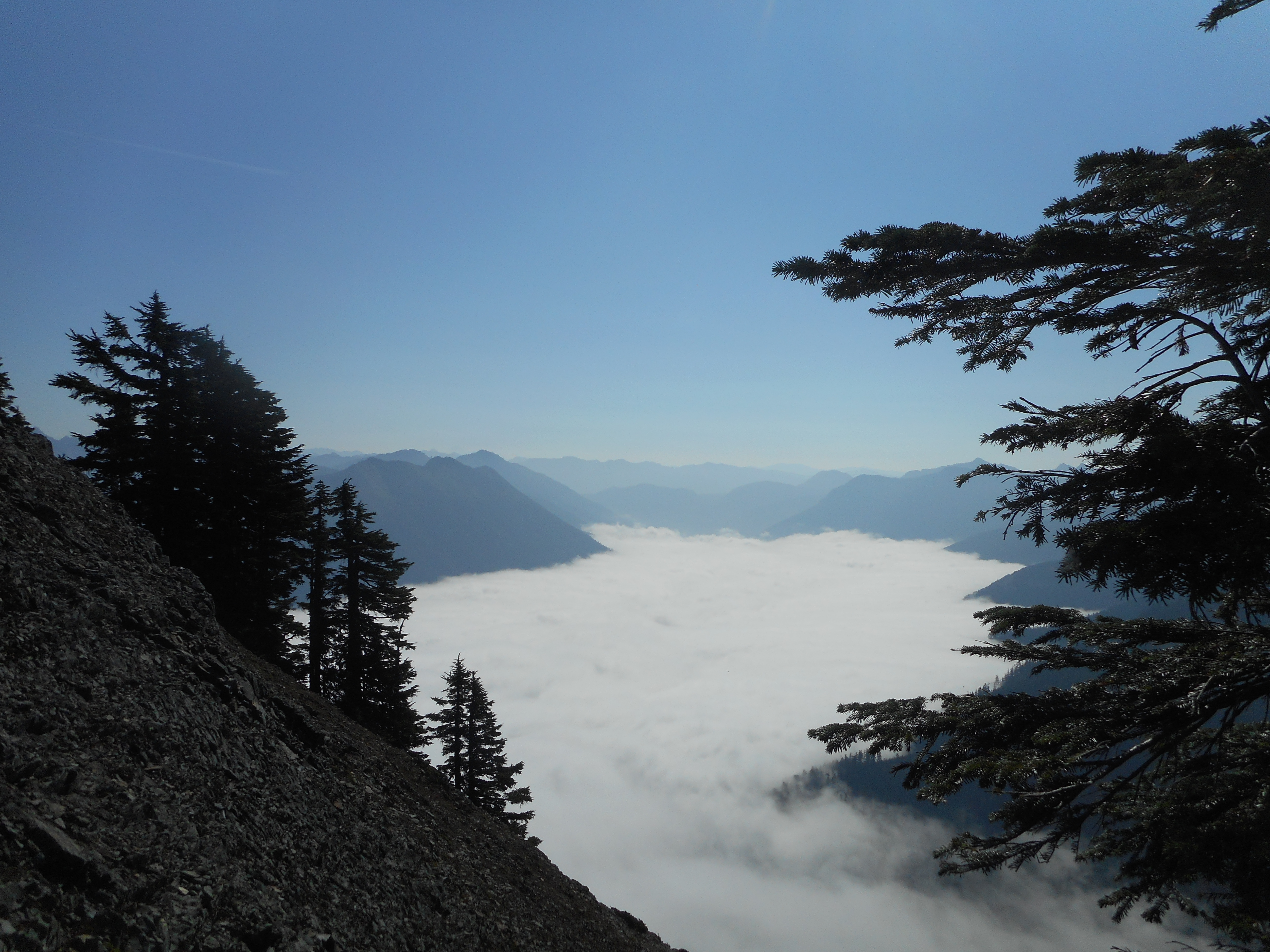
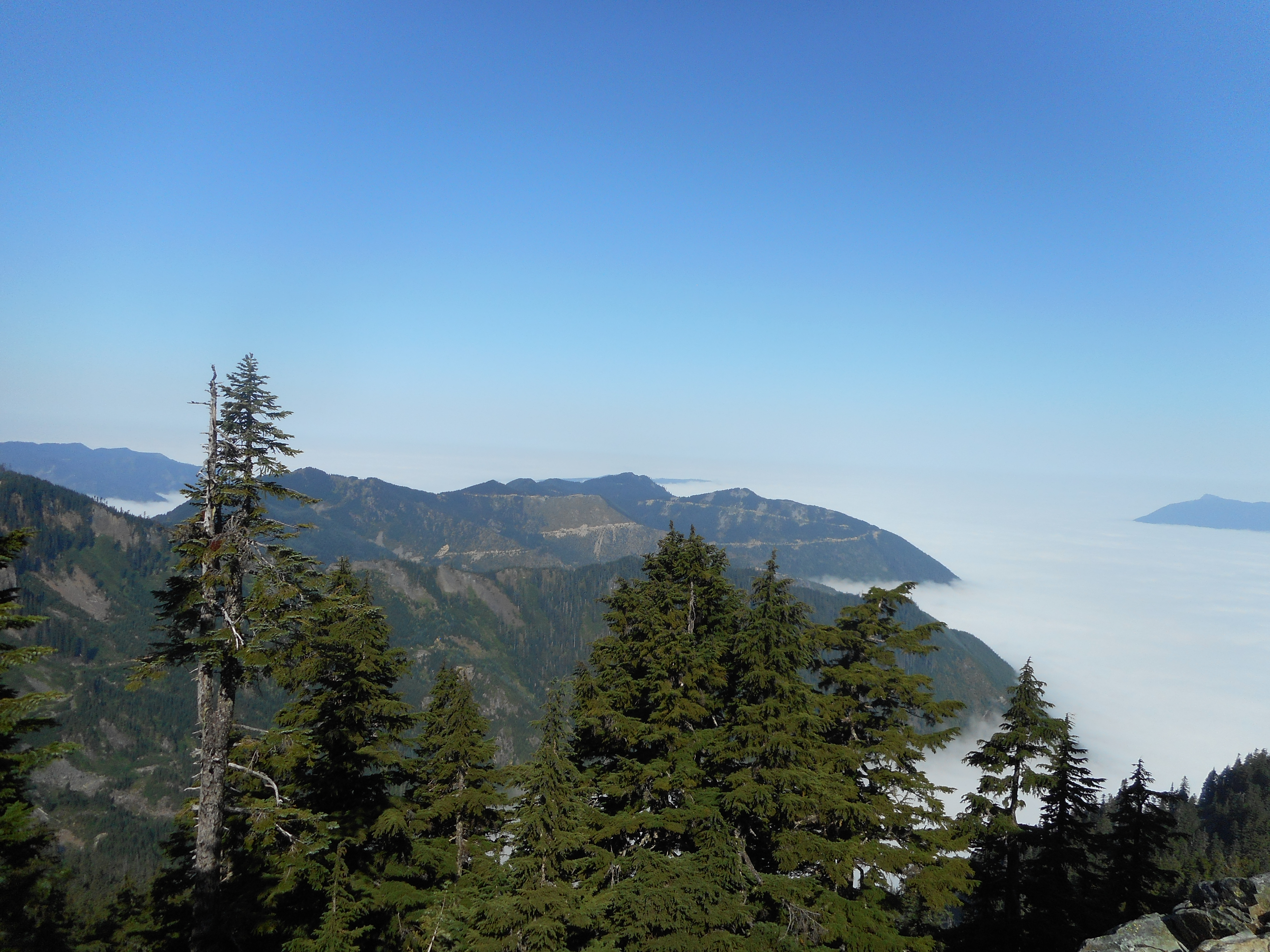
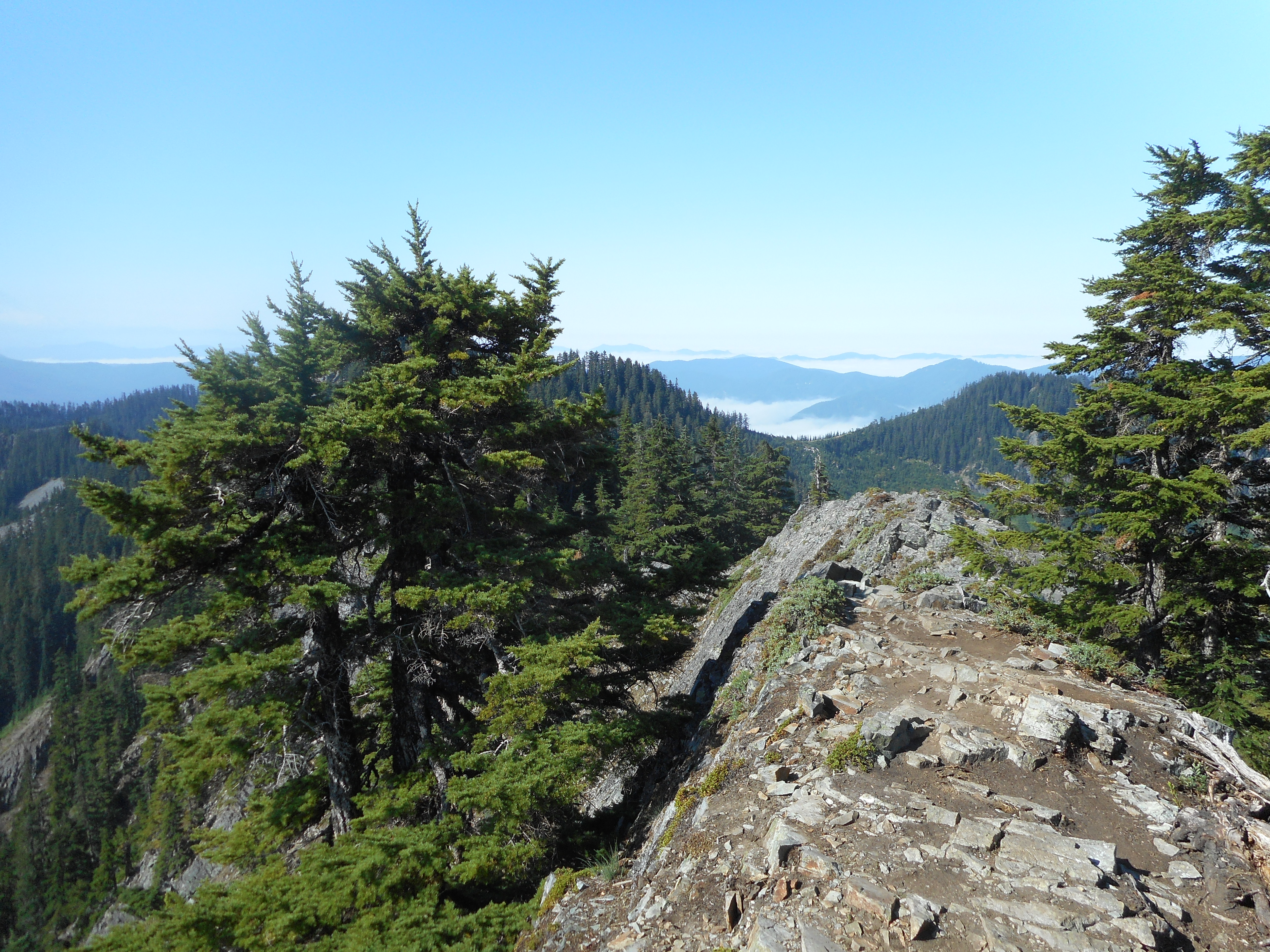
After stopping in the forest to talk about our immediate environment we went a little farther along the trail to a great view point:
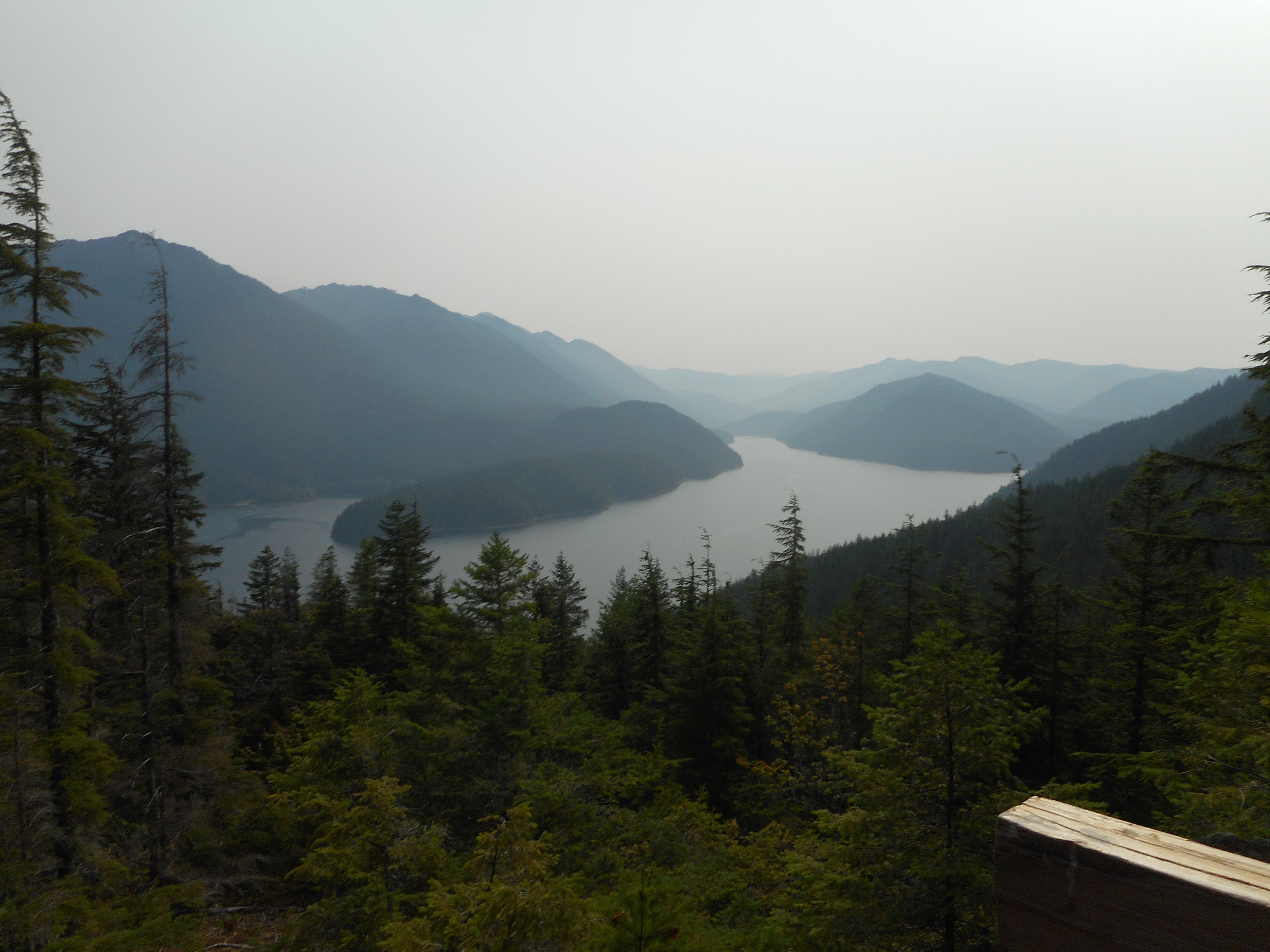
Derek and I loved looking north, across Chester Morse Lake (the actual water that will be piped to the people in Seattle) to get a different perspective on some of the peaks we like to hike, like Mount Washington and Greenway Mountain.
We then headed to an old growth stand at about 2,500 feet of elevation:
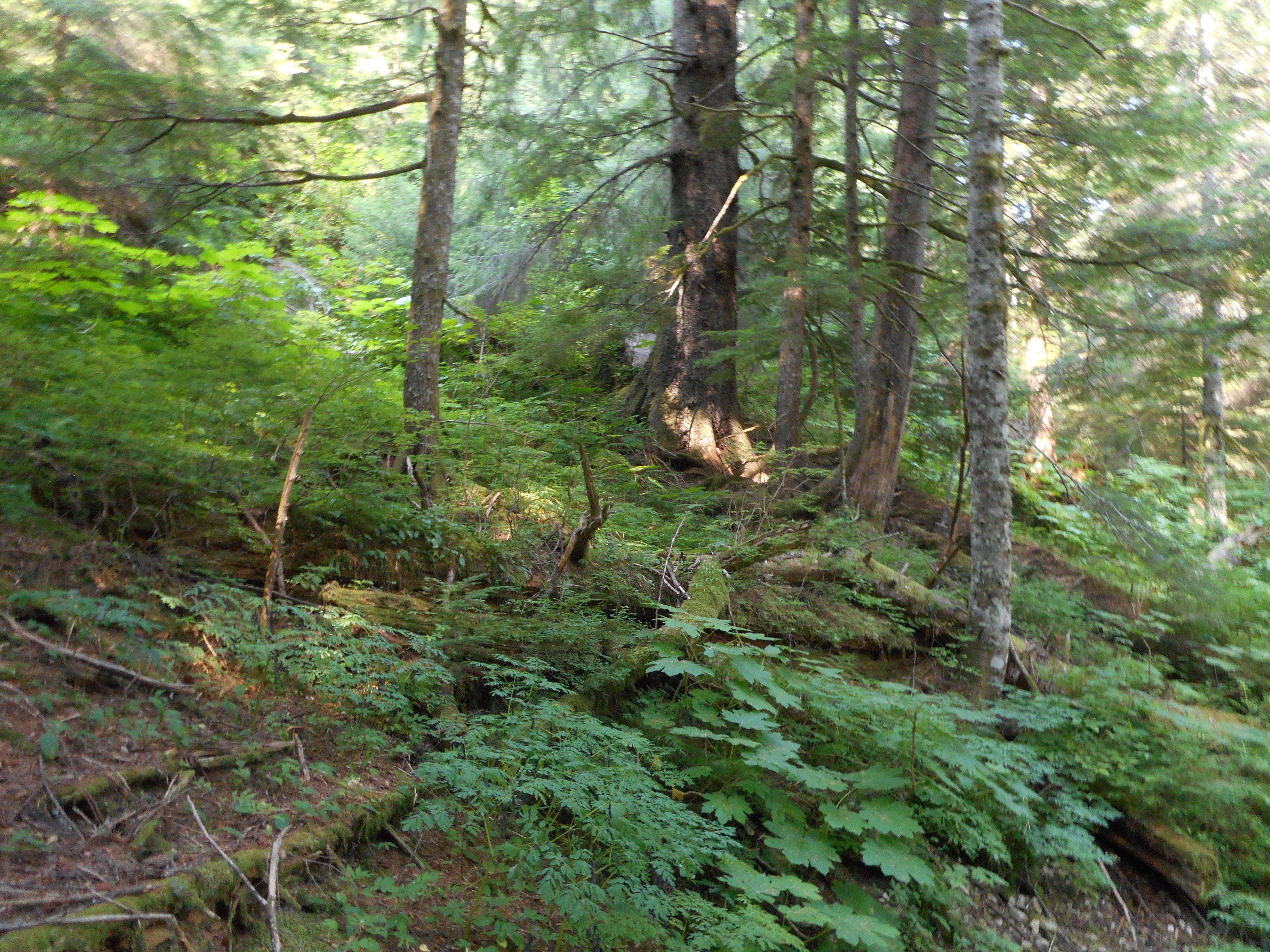
The difference in the size of the trees and the diversity of the flora was striking. Clay told us that various plants and animals live exclusively in old growth stands and how intertwined the components of the ecosystem are – to the point where tree roots may meet underground, merge, and send messages (like: I am being eaten by bugs!) via hormones so the trees down the line can take action to fight the threat.
The longest van ride was to a wide spot in the road near Findley Lake, a former site for University of Washington (de-funded in the ’90’s, sadly) researchers studying the area.
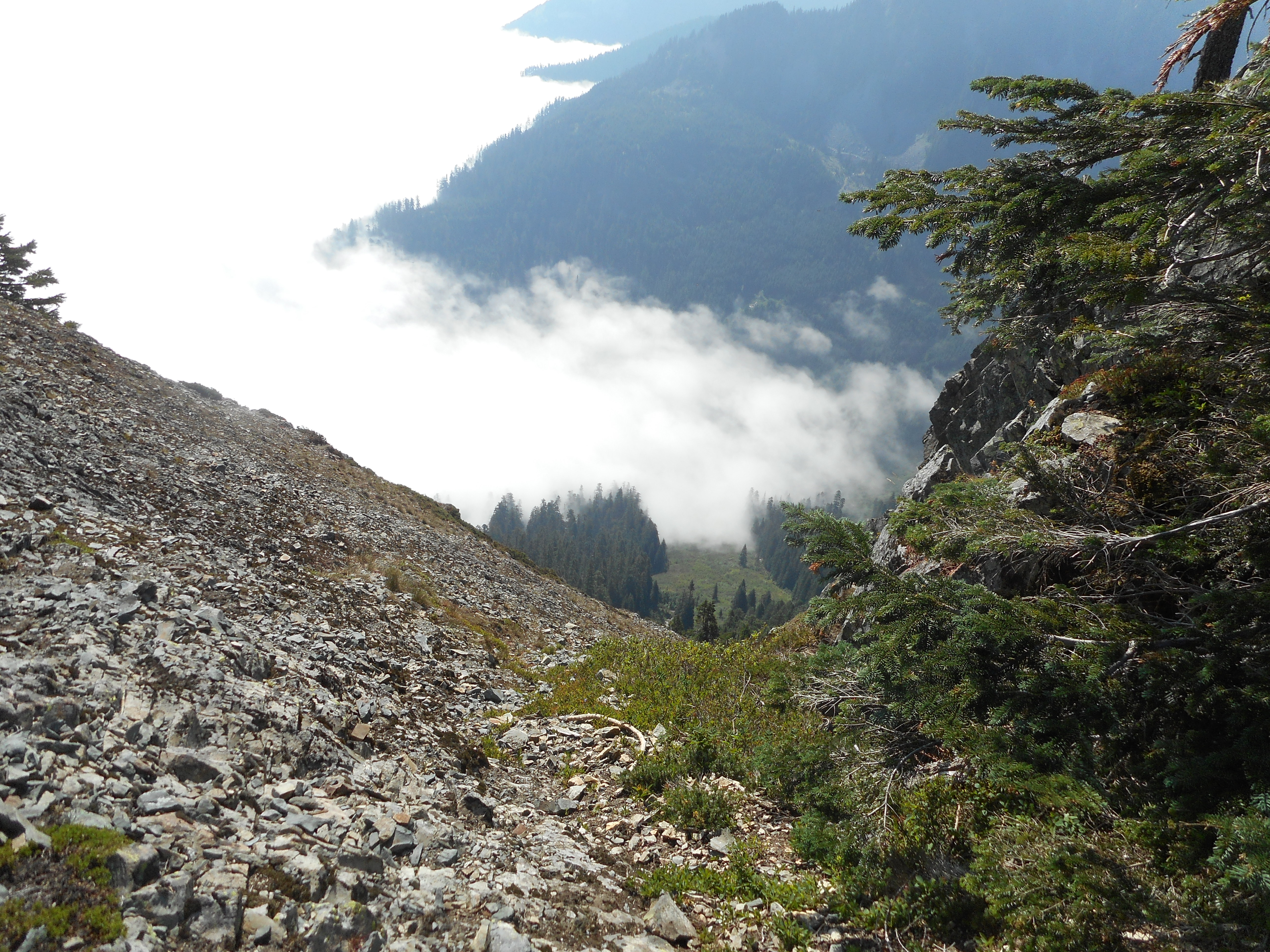
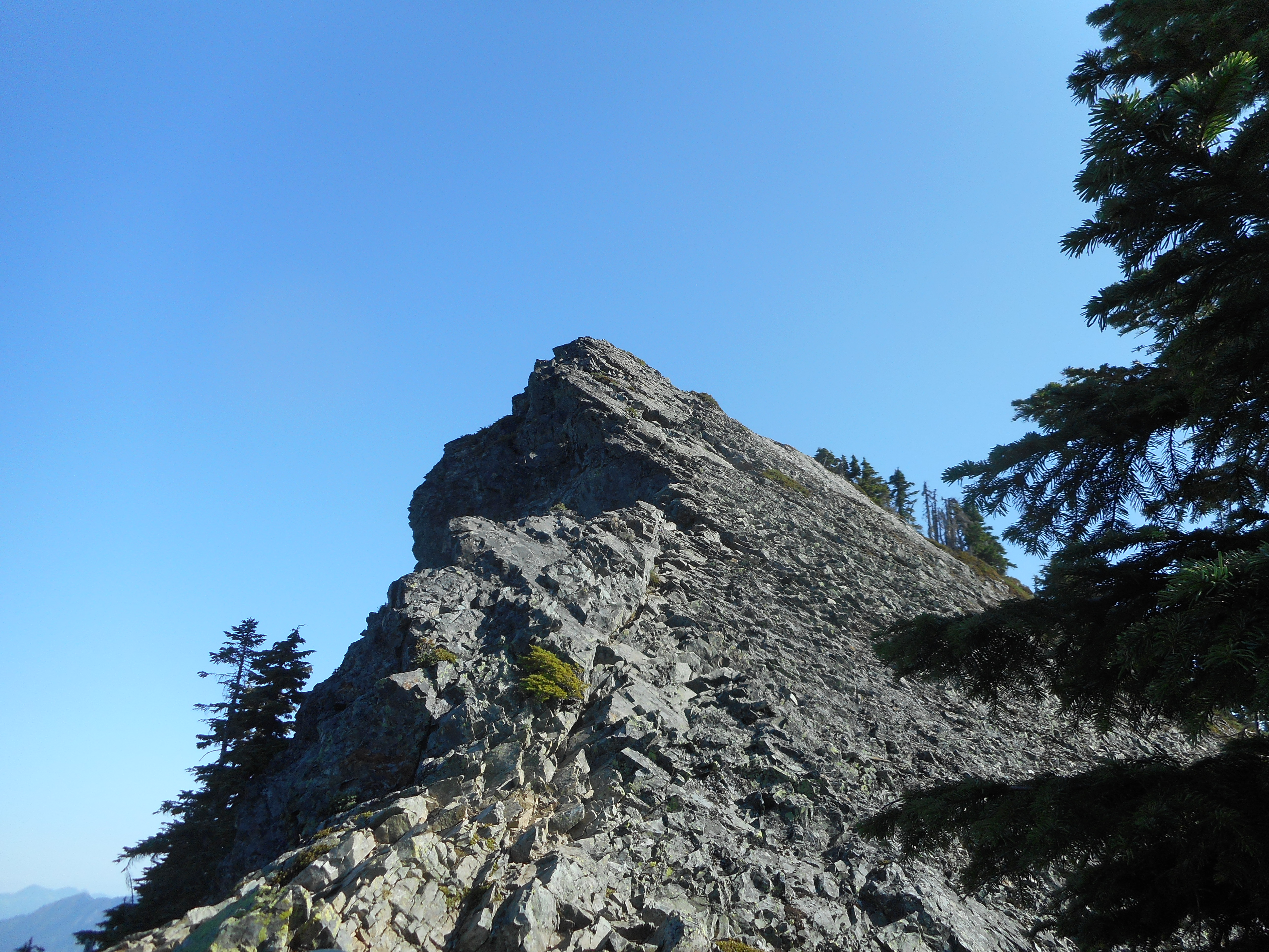
Looking across a small ravine Derek and I saw an awesome peak (see photo at the top of this post) that looked like it would be massive fun to try to scramble (alas, it is in the watershed and is off limits).
We all made it to Findley Lake, hiking through a somewhat different stand of old growth, different because of the elevation. Findley Lake sits somewhere between 3900 and 4000 feet, and that leads to environmental consequences such as a deeper snow pack in the winter.

In the picture above, Clay is in the middle with the cap, closest to the water, Derek is close to the camera looking up and shading his eyes.
This tour was seven hours, 9a to 4p and the time just flew. These CRWEC tours are uniformly excellent. By my count I have now done eight of them and I expect to do more next year.
Tomorrow is Sunday and my experience today makes me hungry for a hike!