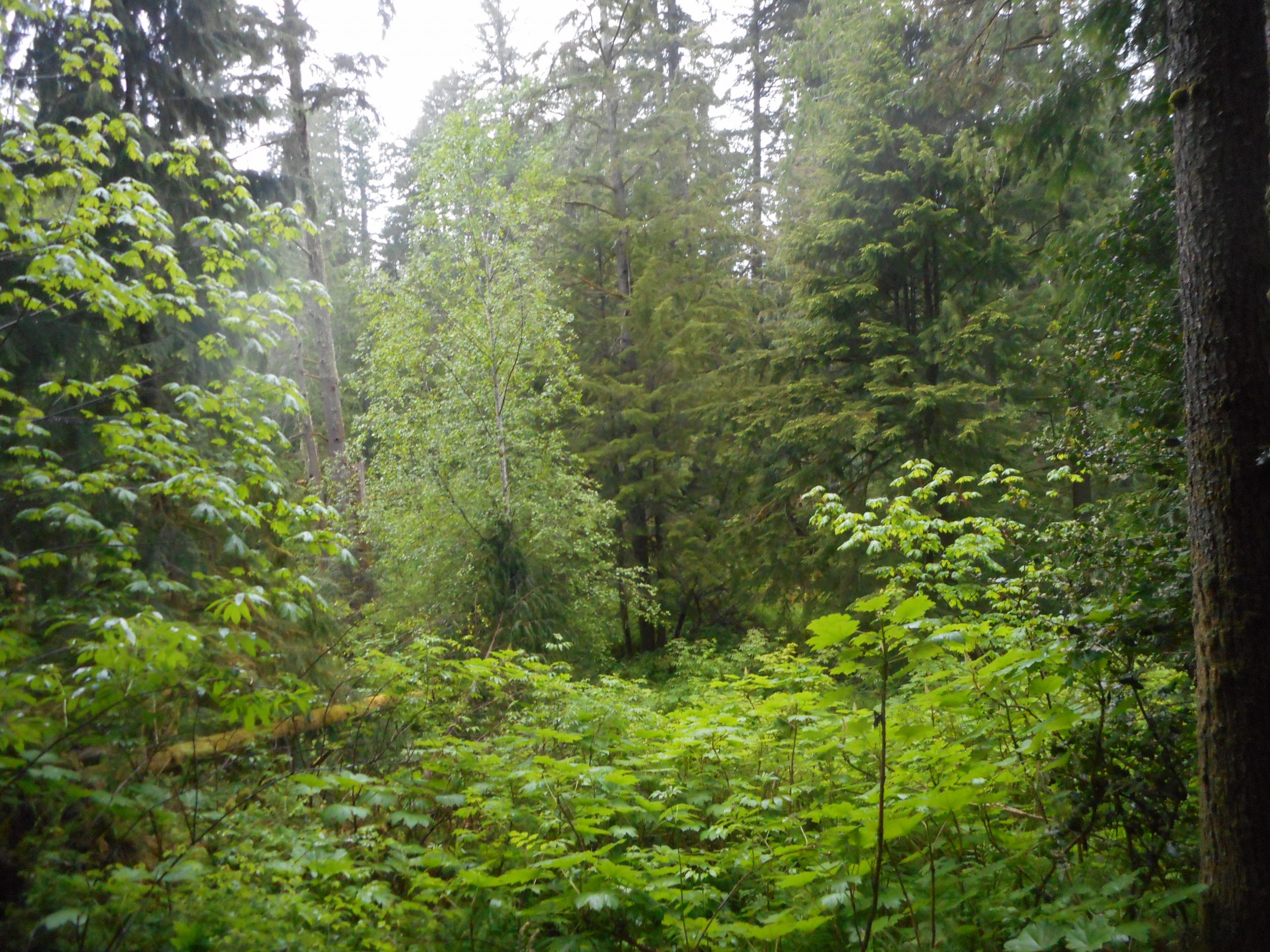
I found the Pratt Balcony Trail (the trail is unofficial, not marked, and easy to miss) about .4 mile from the CCC turnout. On the way back I hung pink flagging tape to mark the trail and I hope the anti-tape contingent leaves it alone.
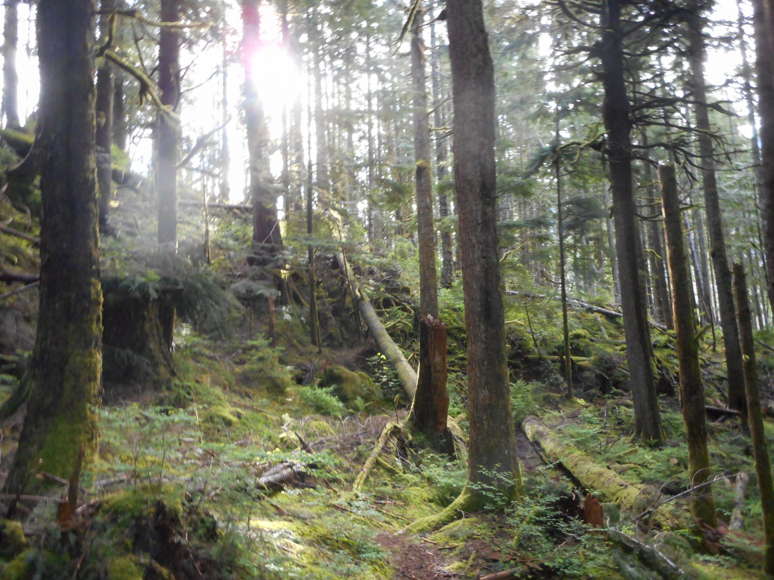
The hike is only about 2.6 miles car-to-car, perfect for Camden. It is not particularly steep and it is more of a boot path than a trail but it is easy enough to follow and the forest is beautiful:
Along the Trail
As you can see from the photo on top, the view from the balcony is excellent. A nice little hike and well worth the effort.
On Saturday Jan had a baby shower for Brittany. About 20 people were invited and it was raining so I did not want to be cooped up in a house with Covid still raging. So I tossed my rain gear in the car and drove to Tiger Mountain for a little conditioning hike.
I have been doing decent workout hikes locally to save gas but Tiger is not terribly far away. It was, not surprisingly, almost empty. I hit the trail just after 5:30 pm, after the normal rush. And the rain also kept people away. I had this part of the mountain pretty much to myself.
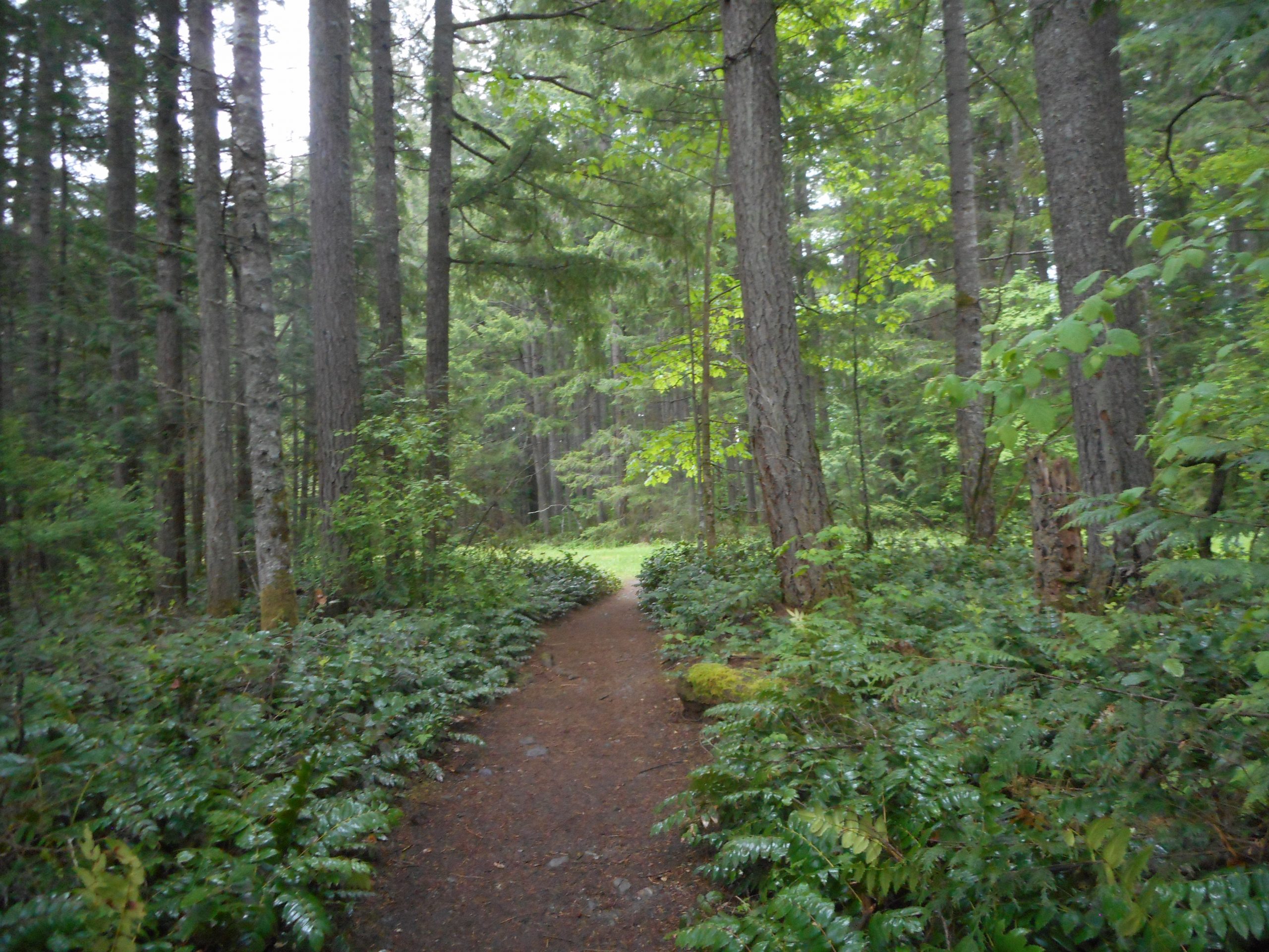
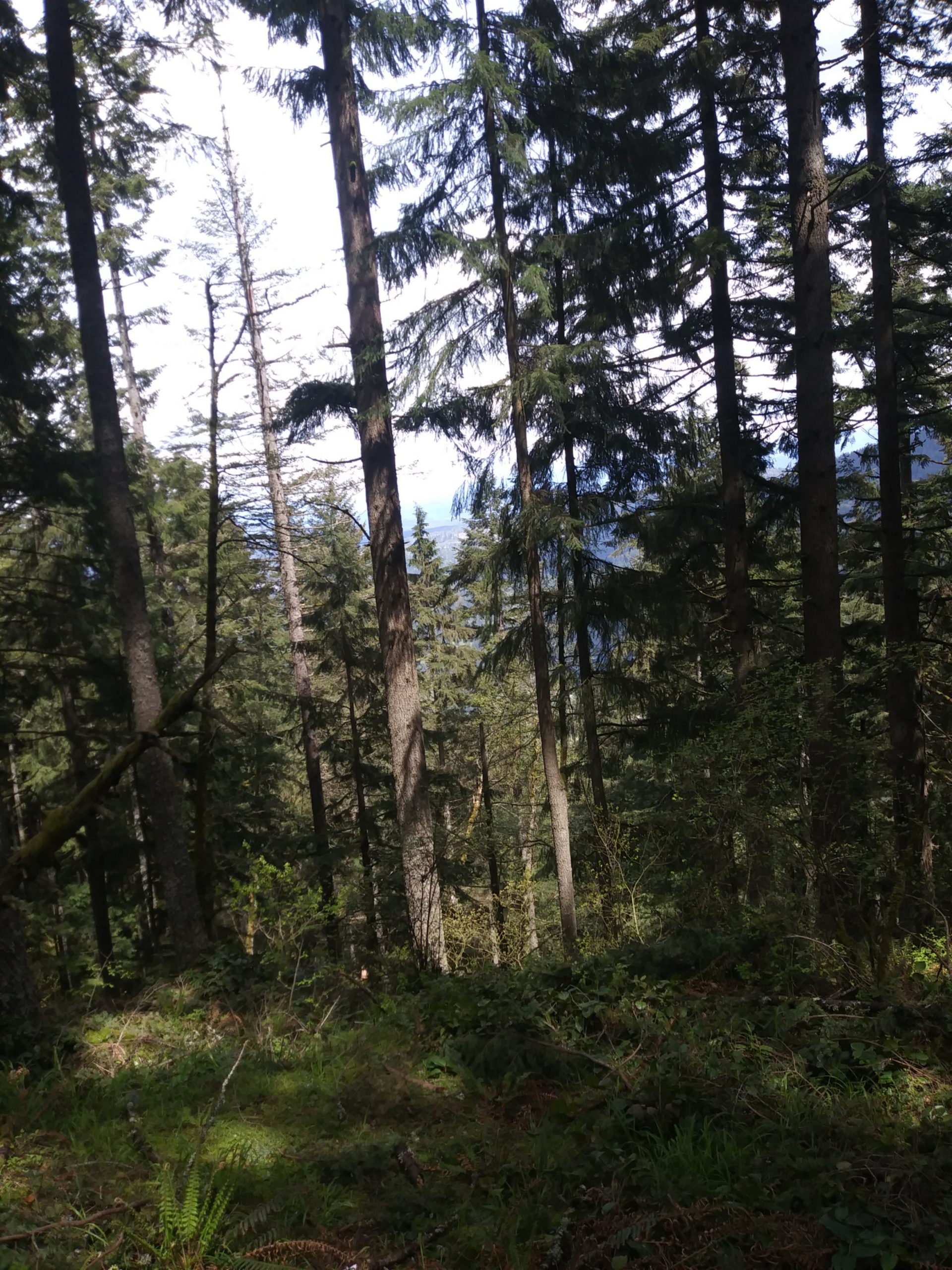
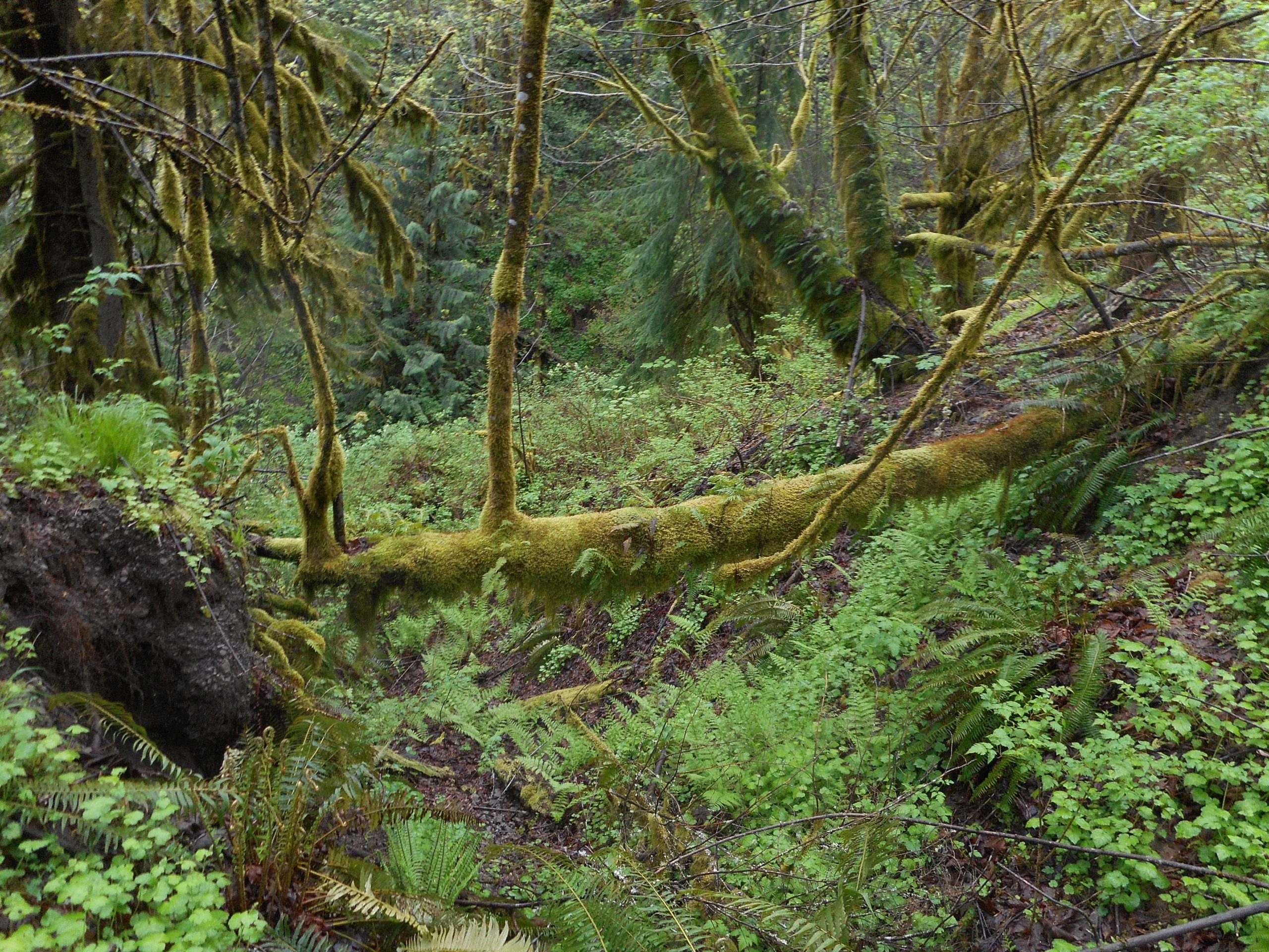
I did a loop that involved coming back via the Swamp and Big Tree trails. Along the Big Tree trail I noticed a little spot that caught my eye:
Along the Big Tree Trail
About 5 miles, minimal elevation gain, but a decent workout. Better than sitting on the couch and safer than being in a room full of strangers.
I plan to check out Seattle’s Folklife Festival tomorrow. This is a nice festival, held on Memorial Day weekend, but cancelled the past two years. It is outdoors and I will wear a mask so I feel fairly safe. Plus, I will get there via bus and light rail (and my feet) so gas will not be an issue.
Next week? I may have to give in to the urge for the mountains. I have my eye on the Pratt Balcony hike and I hope I can find it. (another unofficial trail)
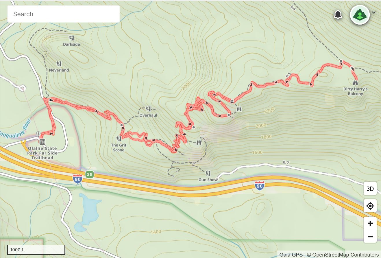
Dirty Harry’s Balcony is a place to avoid on weekends or, in fact, during the week if you start after 10. In addition to the hiking trail (it goes all the way to the summit of Dirty Harry’s Peak) there are numerous rock climbing options (see the track below) and so, on the weekends, the parking lot overflows towards SE Homestead Valley Road.
Today, though, I left the car at 6:50 and saw no one on the way up. I saw about six people on the way down, most of them when I got near the lot.
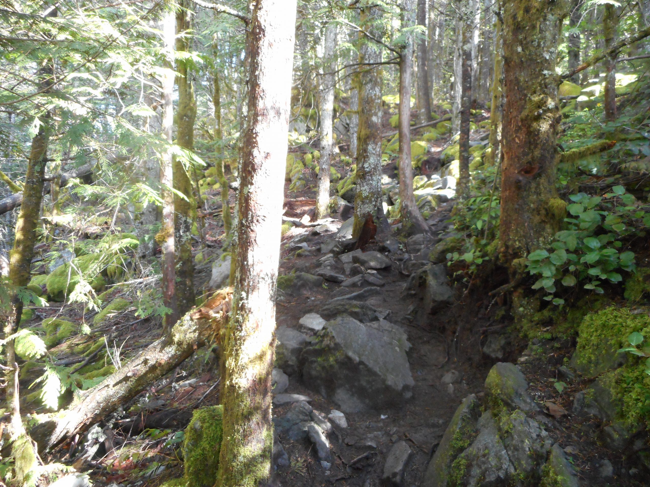
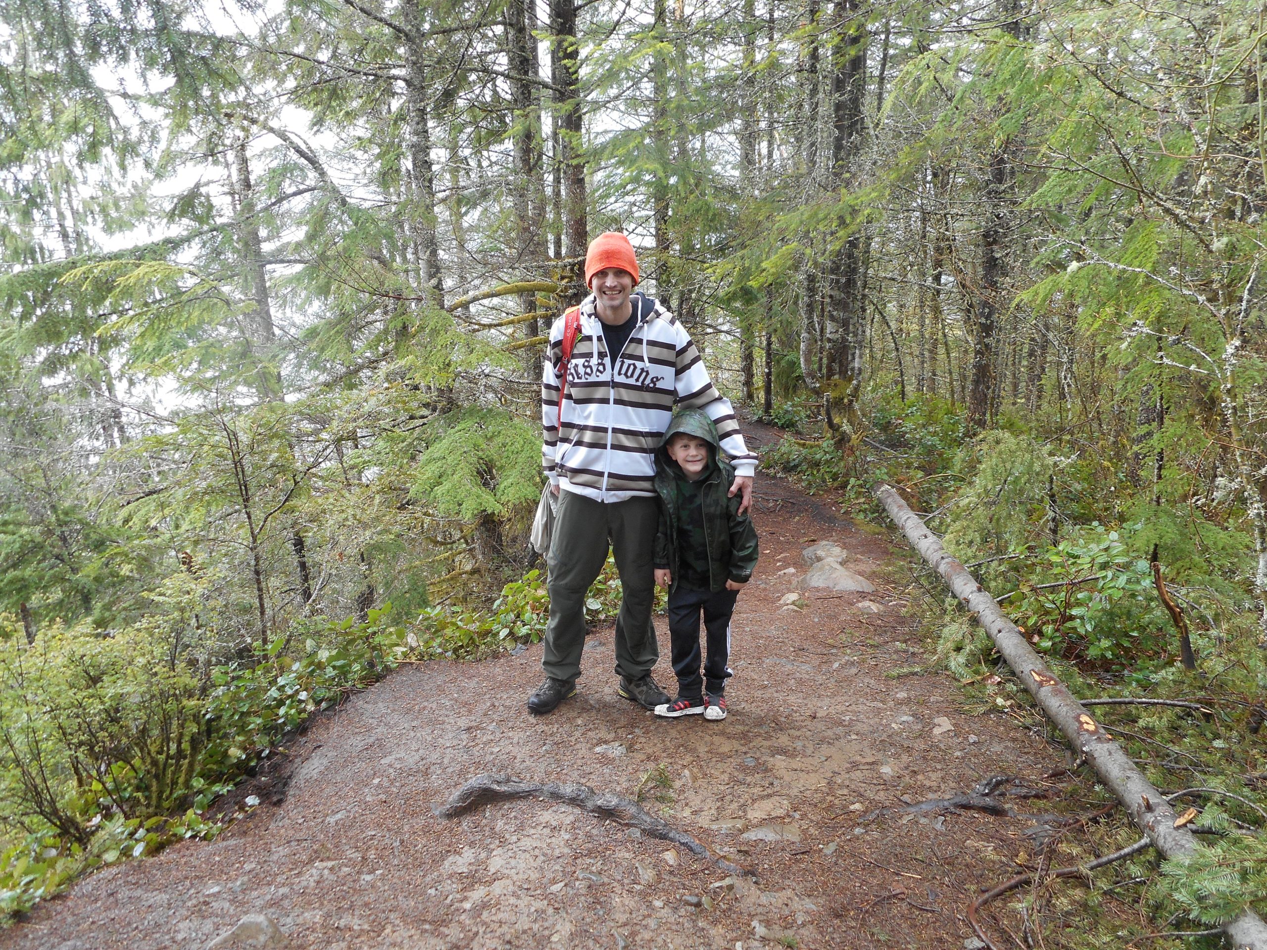
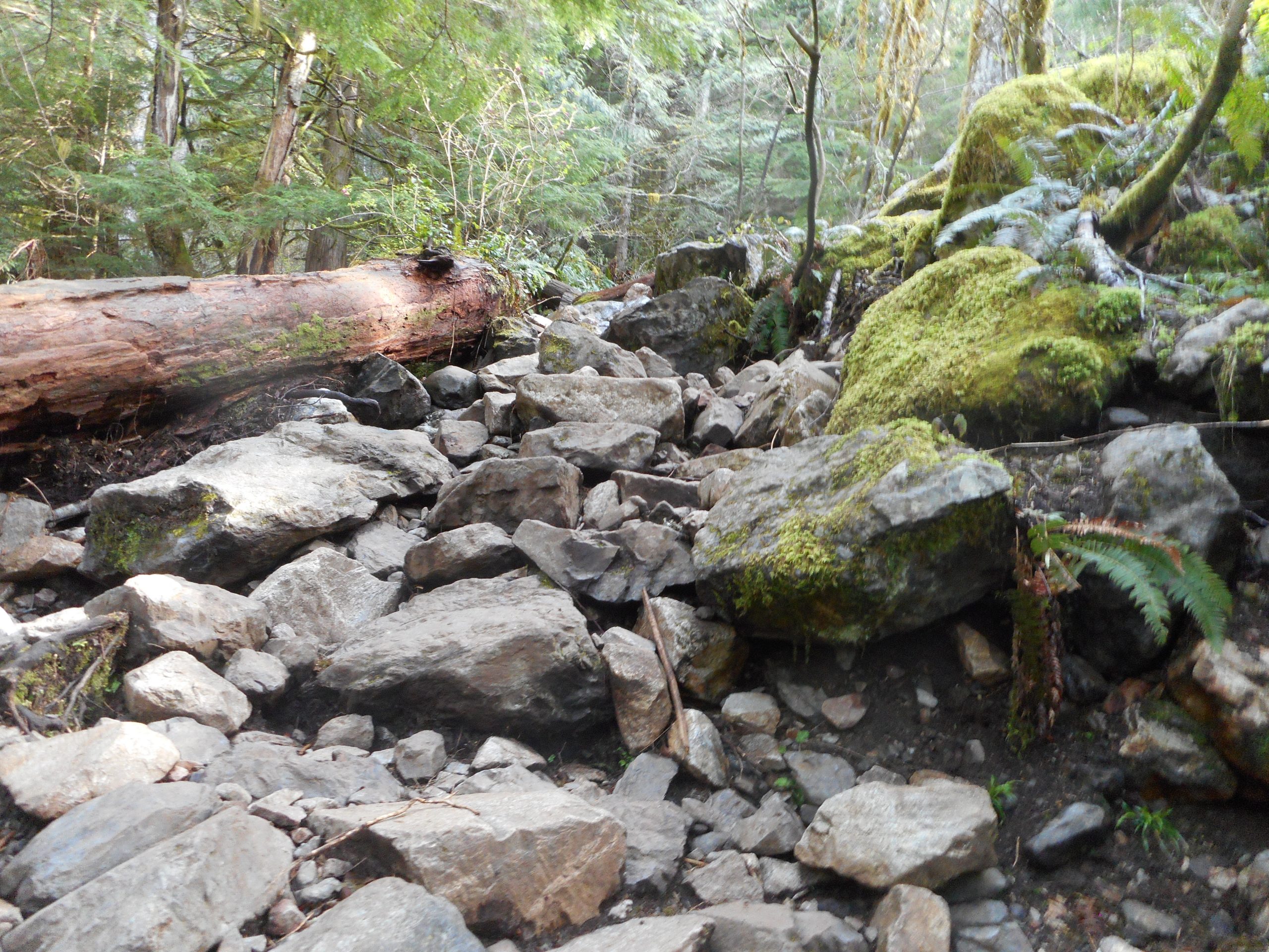
When I was hiking with Derek and Camden on Saturday we were talking about hikes we could do with Camden. He is only 6 and has a somewhat limited range. I suggested Dirty Harry’s Balcony, as it is only 4.7 miles round-trip. Today, though, I was reminded just how rocky the trail is for much of its length:
A Little Tough for Short Legs
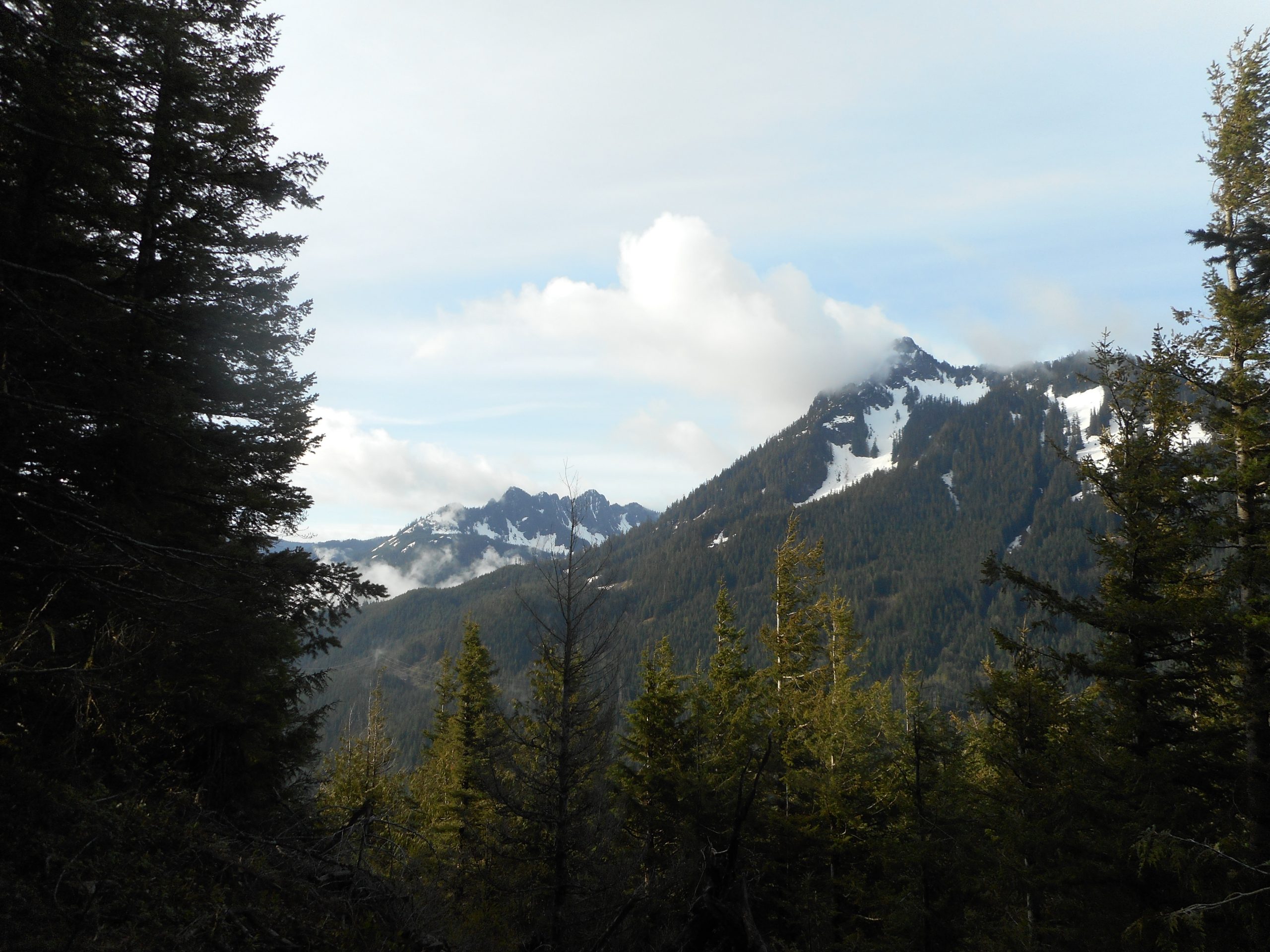
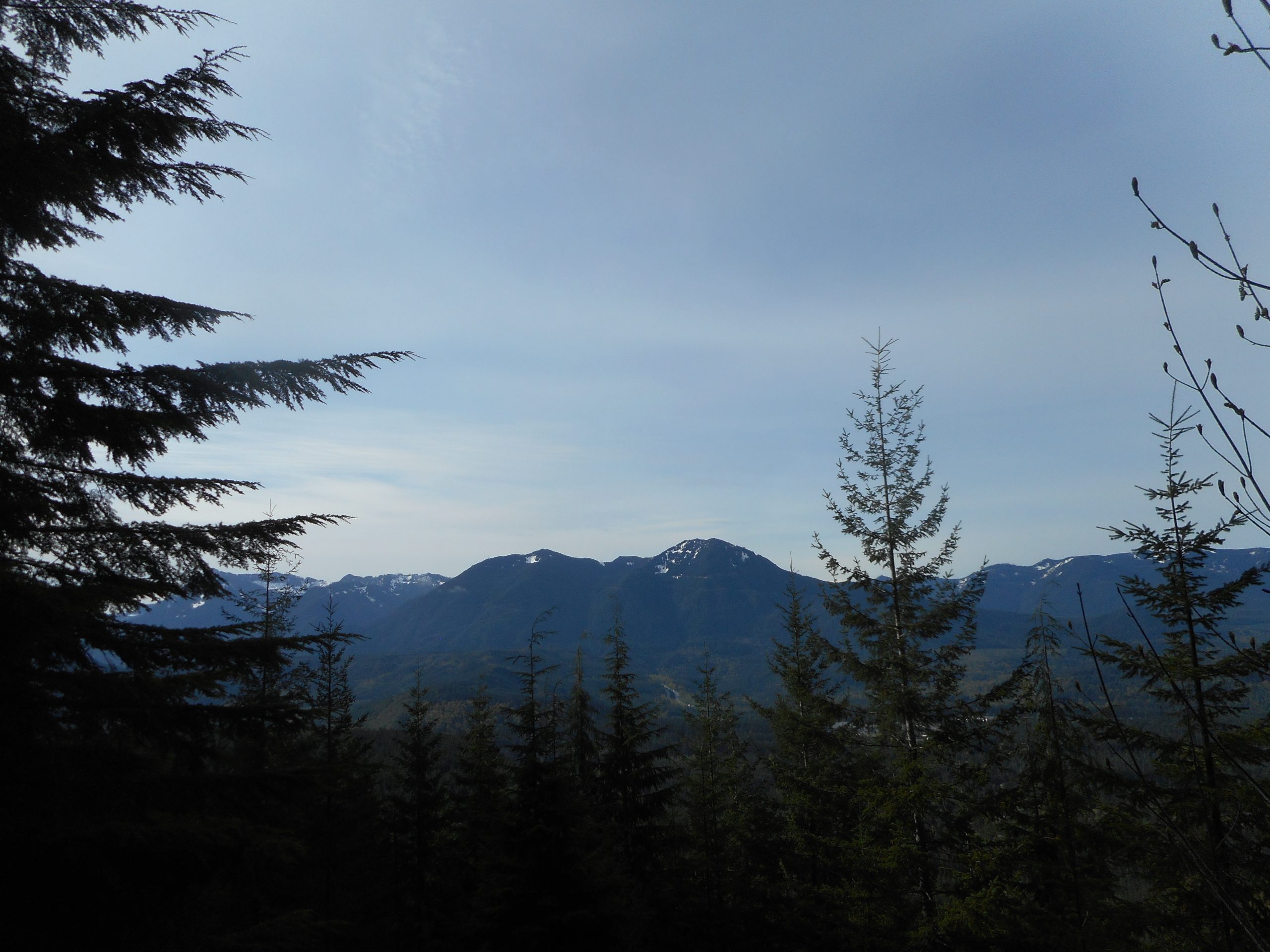
Most of this hike is in the forest but there are some eastern views along the way, and there is one stretch that features a great southern view:
Change and Songbird Peaks
There is also a superb view of McClellan Butte and the Duke and Duchess of Kent:
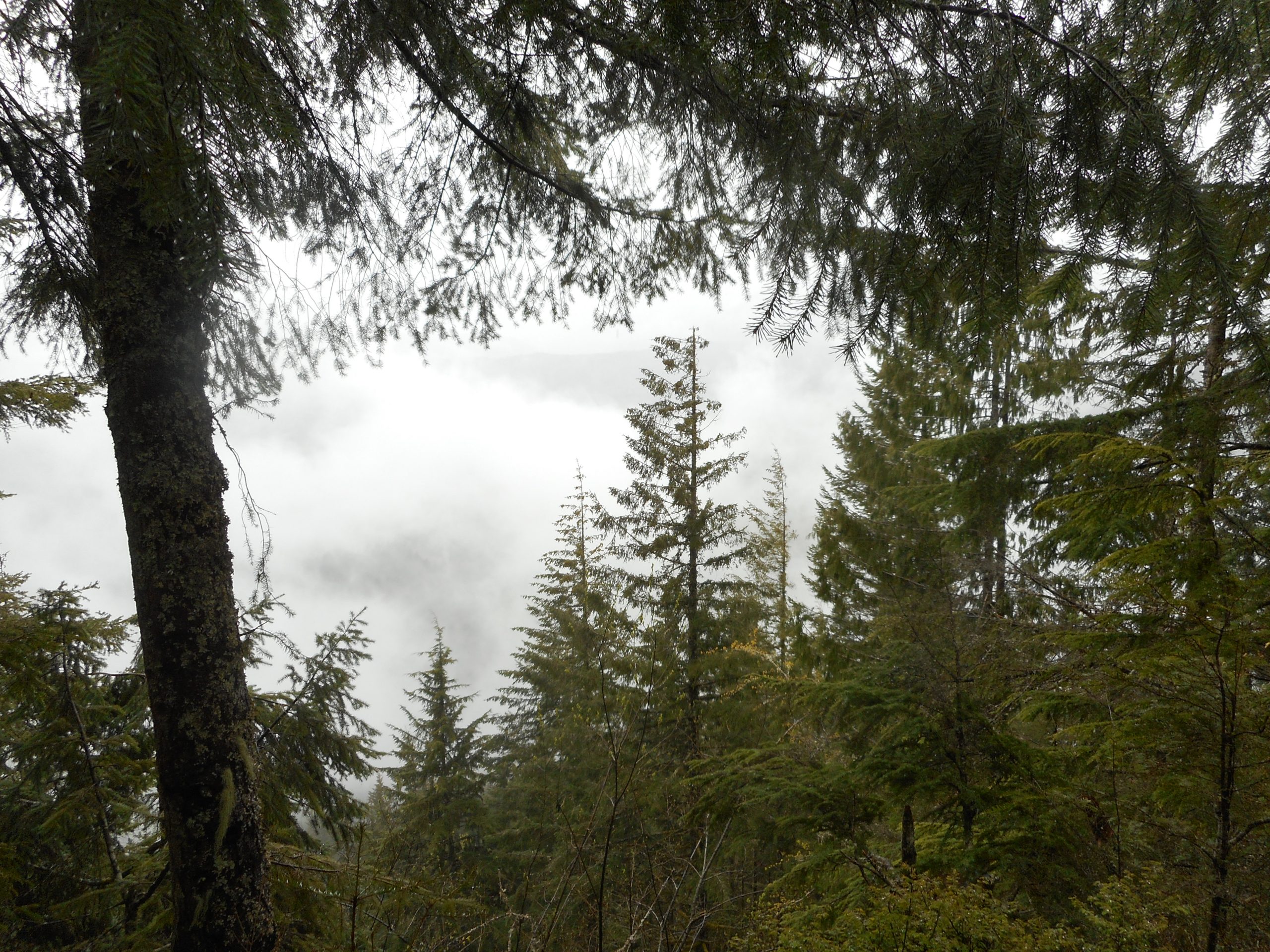
I did a nice little Cedar Butte hike today with Derek and Camden. It was fun, in spite of the fact that it was raining almost the entire time. But we all had decent rain gear so it was not too bad. In fact, the rain kept the crowds down.
Let me start with a question: have any subscribers gotten emails for new posts lately? If so, please add a brief comment to let me know. If not, well, I will assume that I have to keep trying to figure out what is going wrong, as I no longer get an email when I put up a new post.
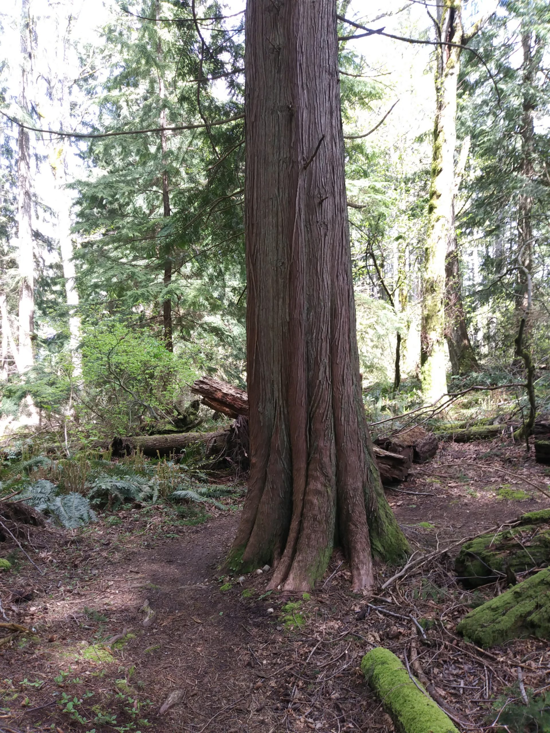
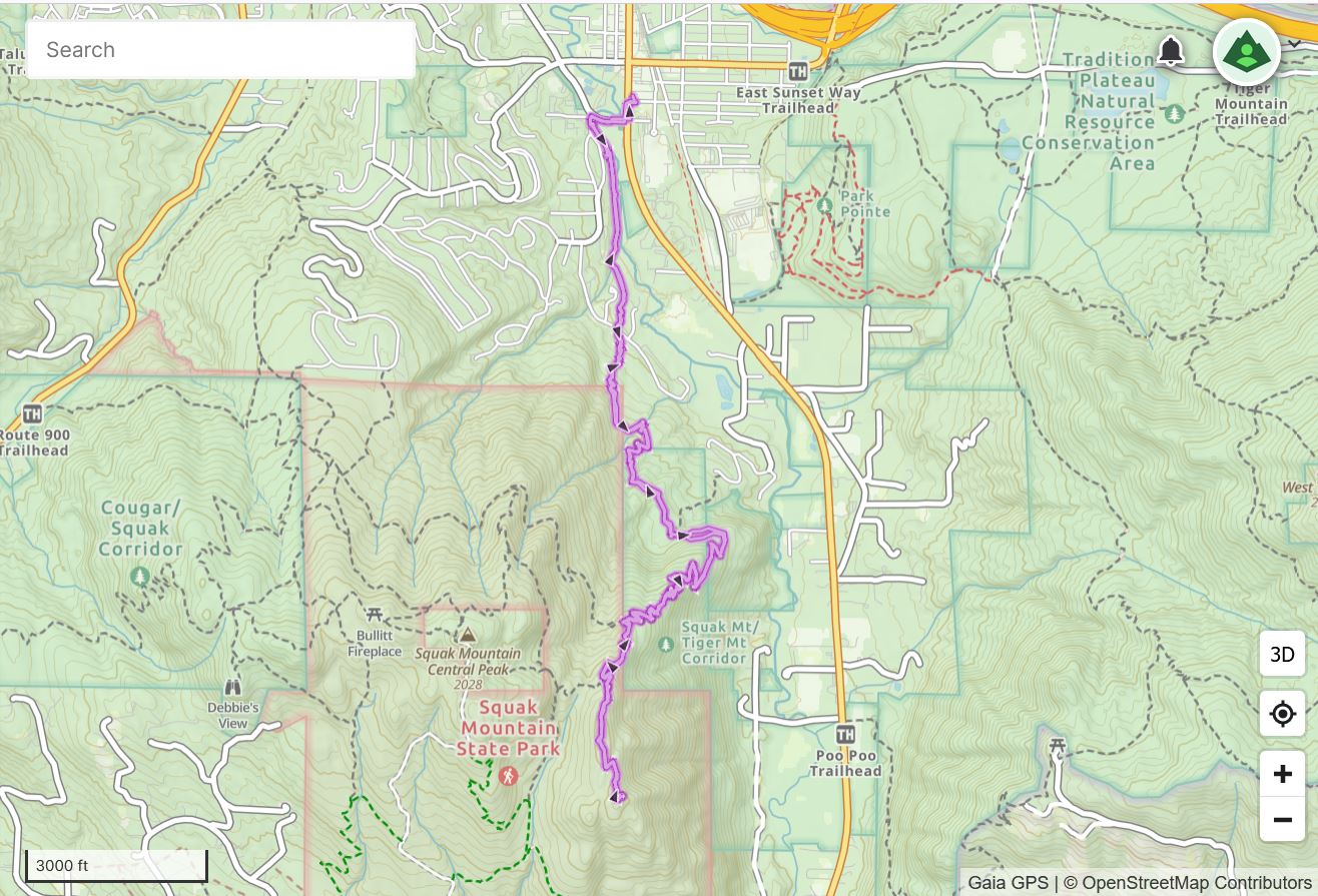
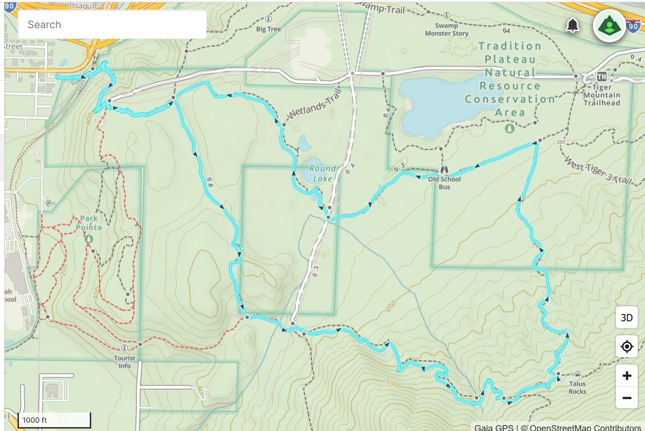
As for today’s hike, I started kind of late as we had a contractor over in the morning. I parked on Bush Street in Issaquah, just off their main street (Front Street) and took the connector trail over to Squak Mountain. Nice town! Two mountains, Tiger and Squak, within their city limits, although Tiger goes east towards Snoqualmie.
The trails on the east side of Squak are in great shape. The trip up to SE Peak is steep but not ridiculous. The little side trail (about .5 mile) to the peak that intersects the East Ridge Trail is strictly unofficial but in decent enough shape, give or take a muddy gully or two.
7.7 miles, about 2K elevation gain (there are some ups and downs along the way) about 3.5 hours and a very nice workout.
There are some nice trees along the trail, including this large Red Cedar:
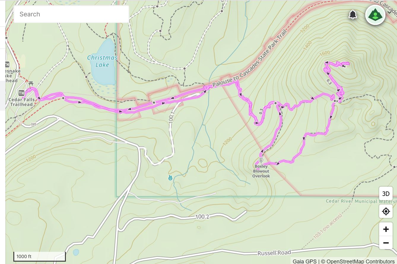
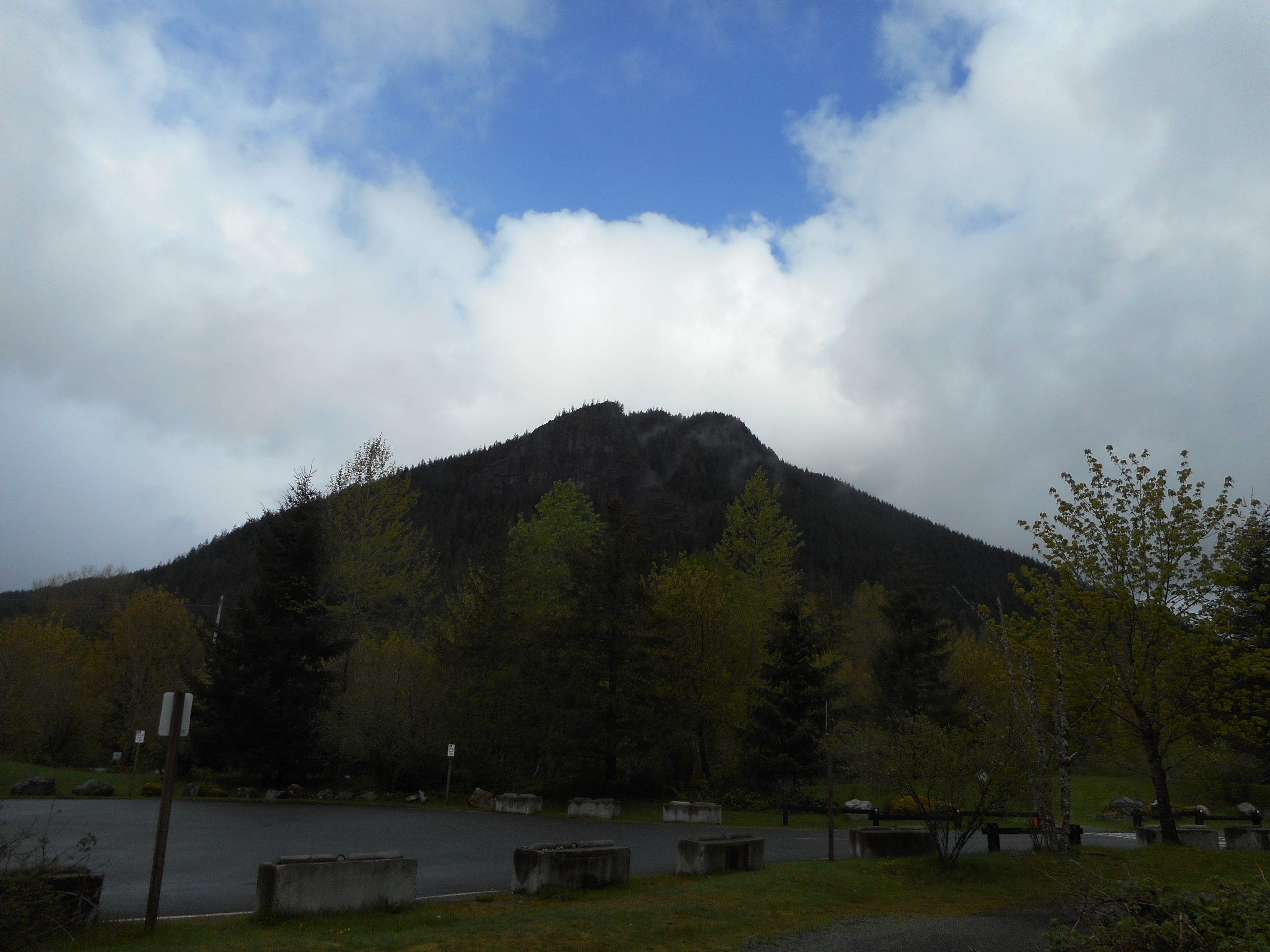
I snuck out to Exit 32 this Mother’s Day morning to do Cedar Butte. Expecting a crowded road on the way back I parked in the little pullout just shy of the official lots and approached Cedar Butte via the trail that runs on the south side of Christmas Lake:
Christmas Lake
The Cedar Butte trail was a little muddy in spots but was otherwise in good shape. I saw no one on the way up and a few people coming down, but the area was far from crowded. Rain was just moving in as I was leaving so perhaps the forecast (and its being Mother’s Day) kept the crowds down.
Rattlesnake Ledges
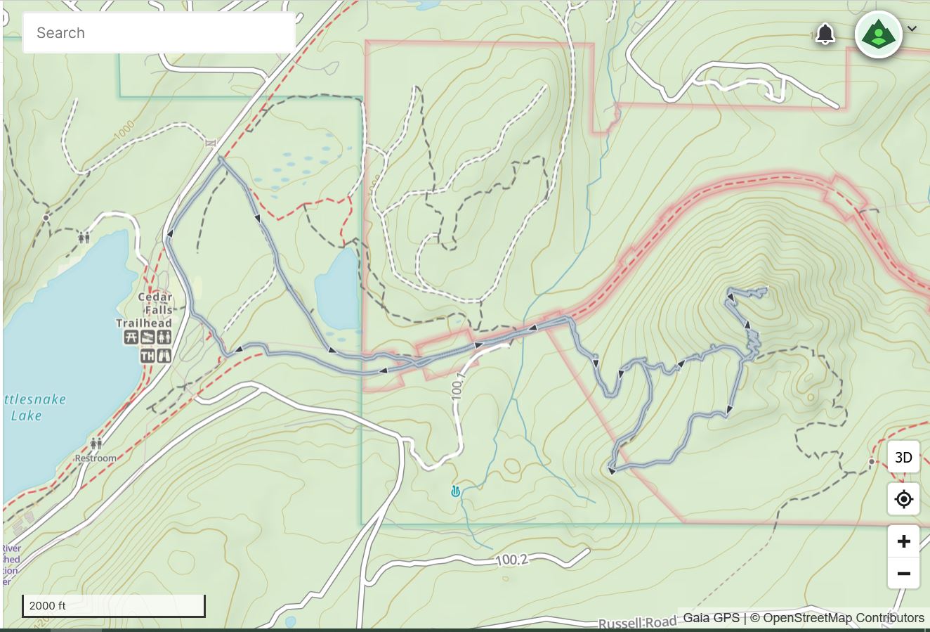
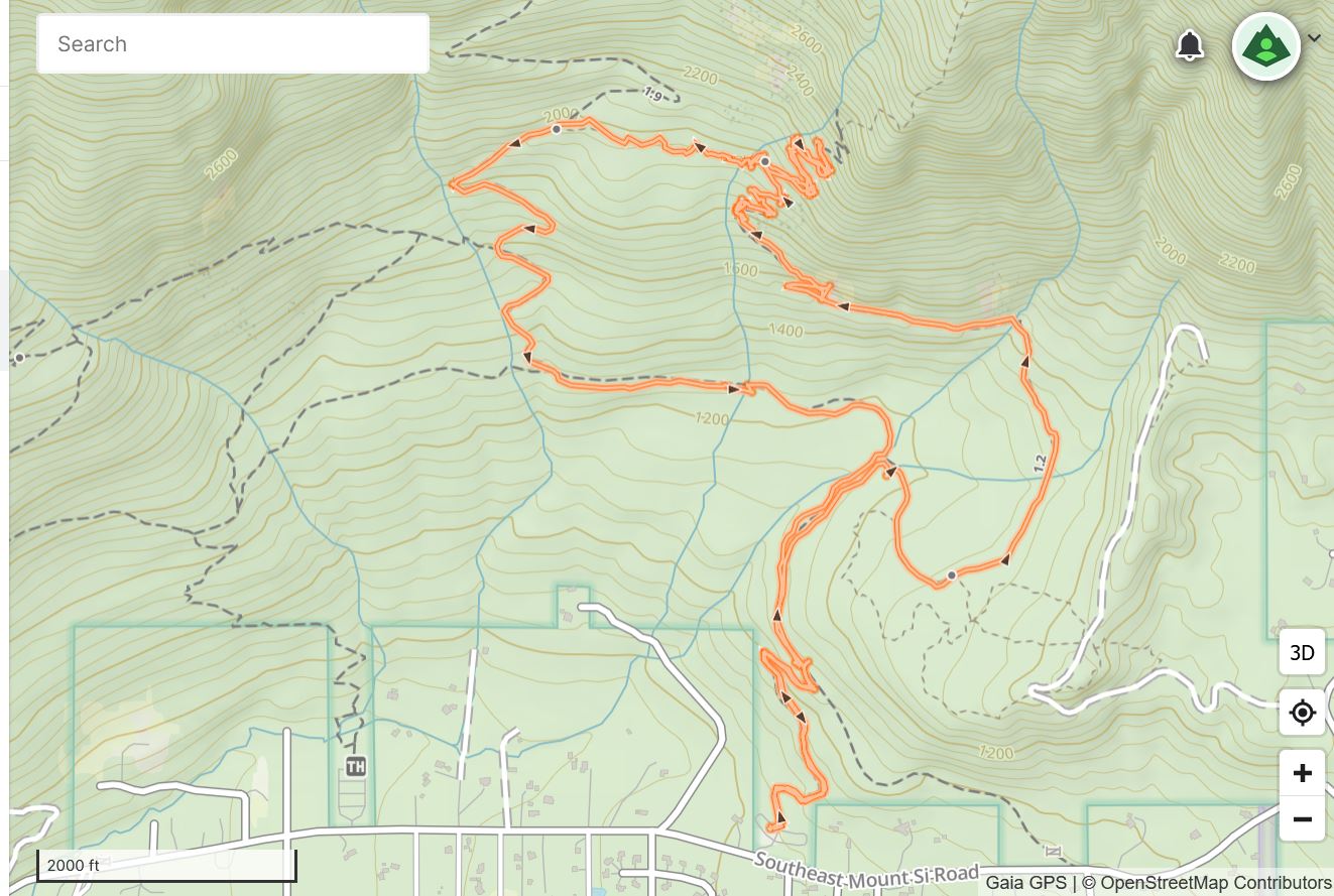
Only about 4.5 miles but a decent workout and a fun morning. Track below.
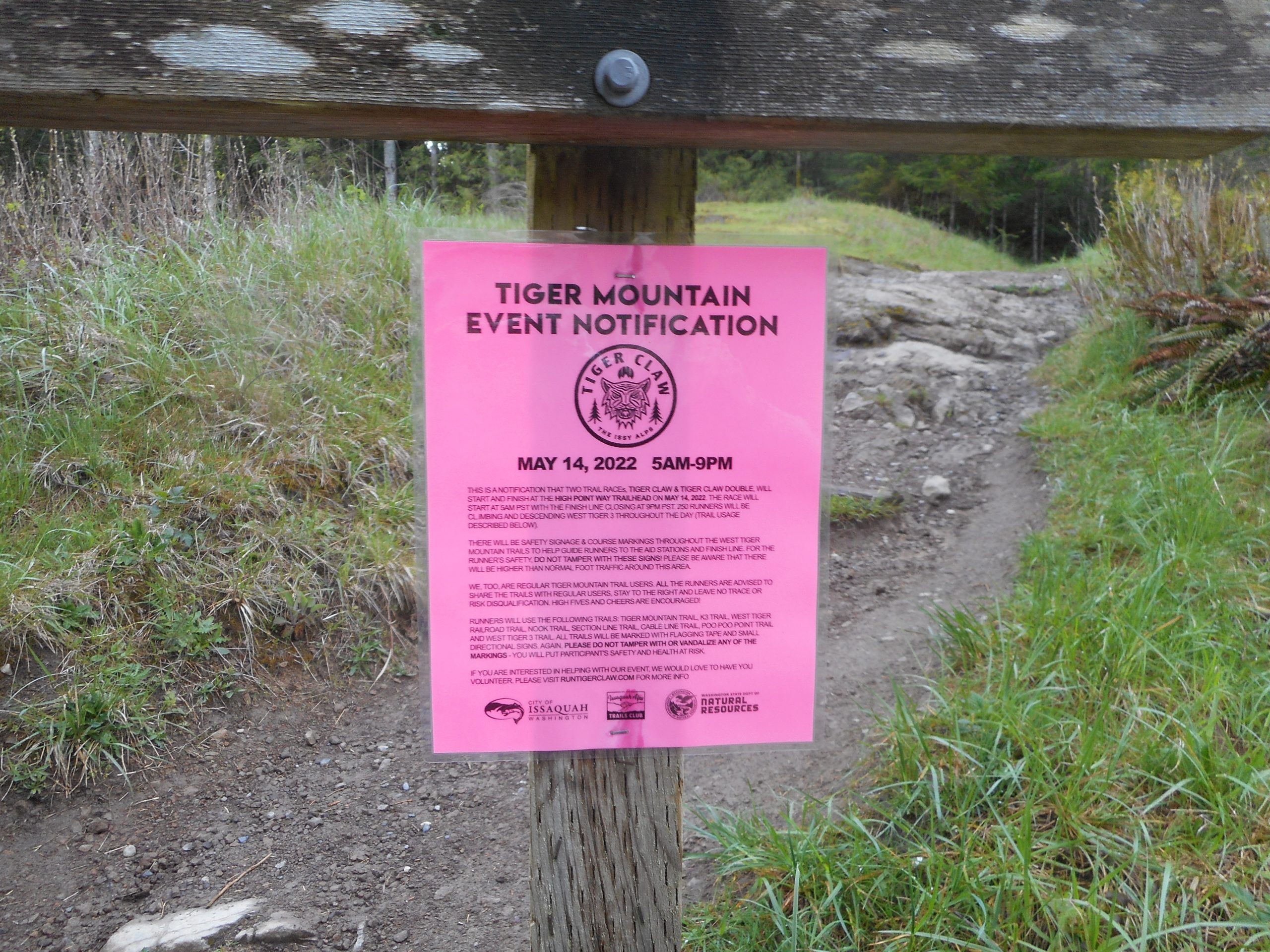
I did my standard Tiger Mountain conditioning hike today, 5.1 miles, up Adventure and Section Line, down the Nook, etc.
Along the way I saw signs for an upcoming (5/14/22) trail running event, the Tiger Claw:
Event Notification
A check of their website reveals that the trail runners are going to be doing either 25 miles of running up and down a mountain OR 50 miles up and down a mountain. The event starts at 5am and ends at 9 pm.
My personal experience is that, outside of guides on mountains like Rainier, trail runners are the fittest people around. Just try to imagine running – not slowly trudging, like me (an old man) – running for 25 or 50 miles up and down a mountain.
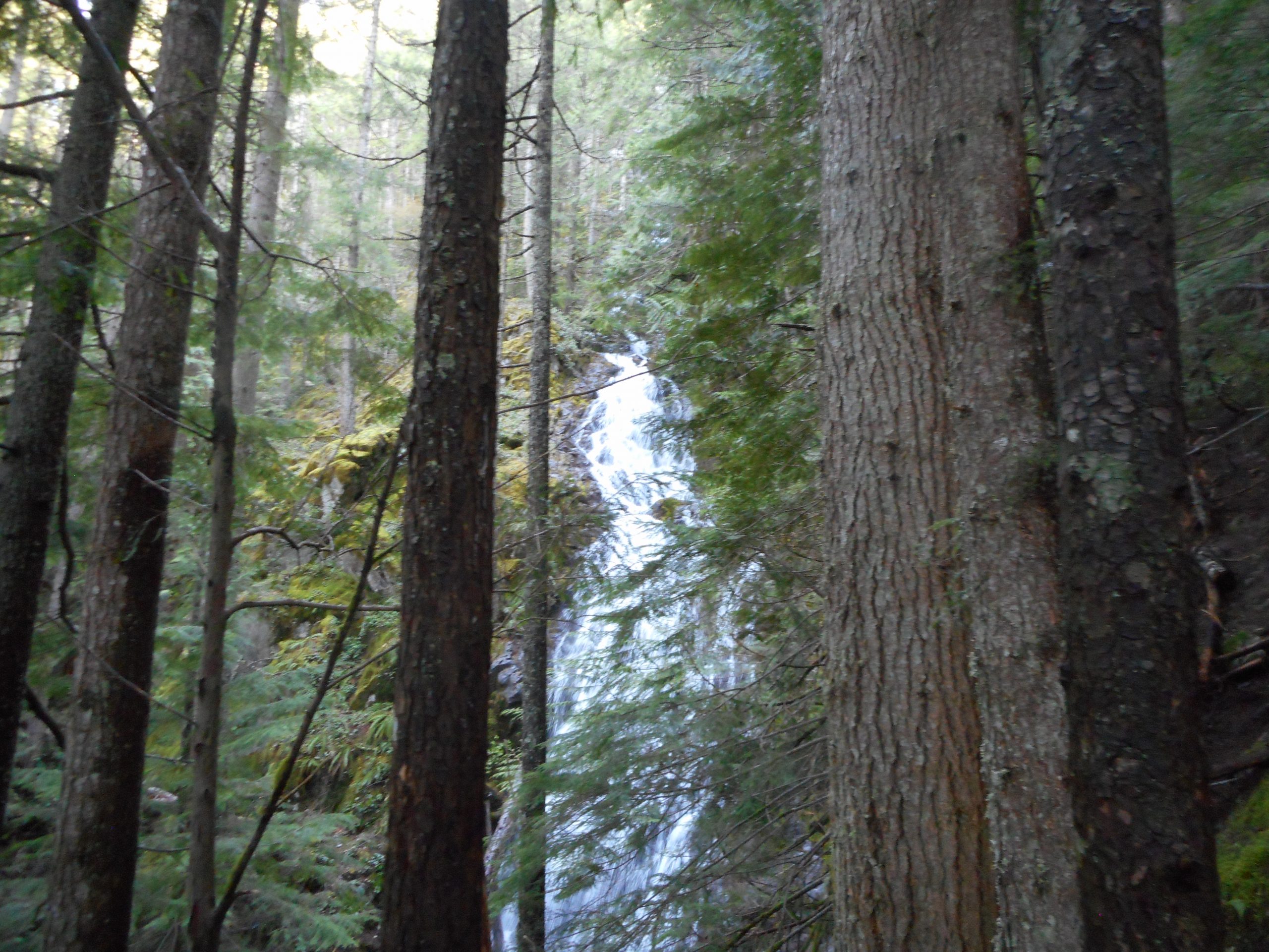
I did a nice hike today, to the Teneriffe Falls. Actually, I could have gone farther up and gotten a bit closer to the falls but the rocky trail:
Trail Is In There Somewhere
was a bit slippery so I turned around near the top. On the way down I rock-hopped the stream and found the unofficial trail that connects the Falls trail to the Teneriffe Mountain trail and went back down that way. Thus, the track is a bit of a loop.
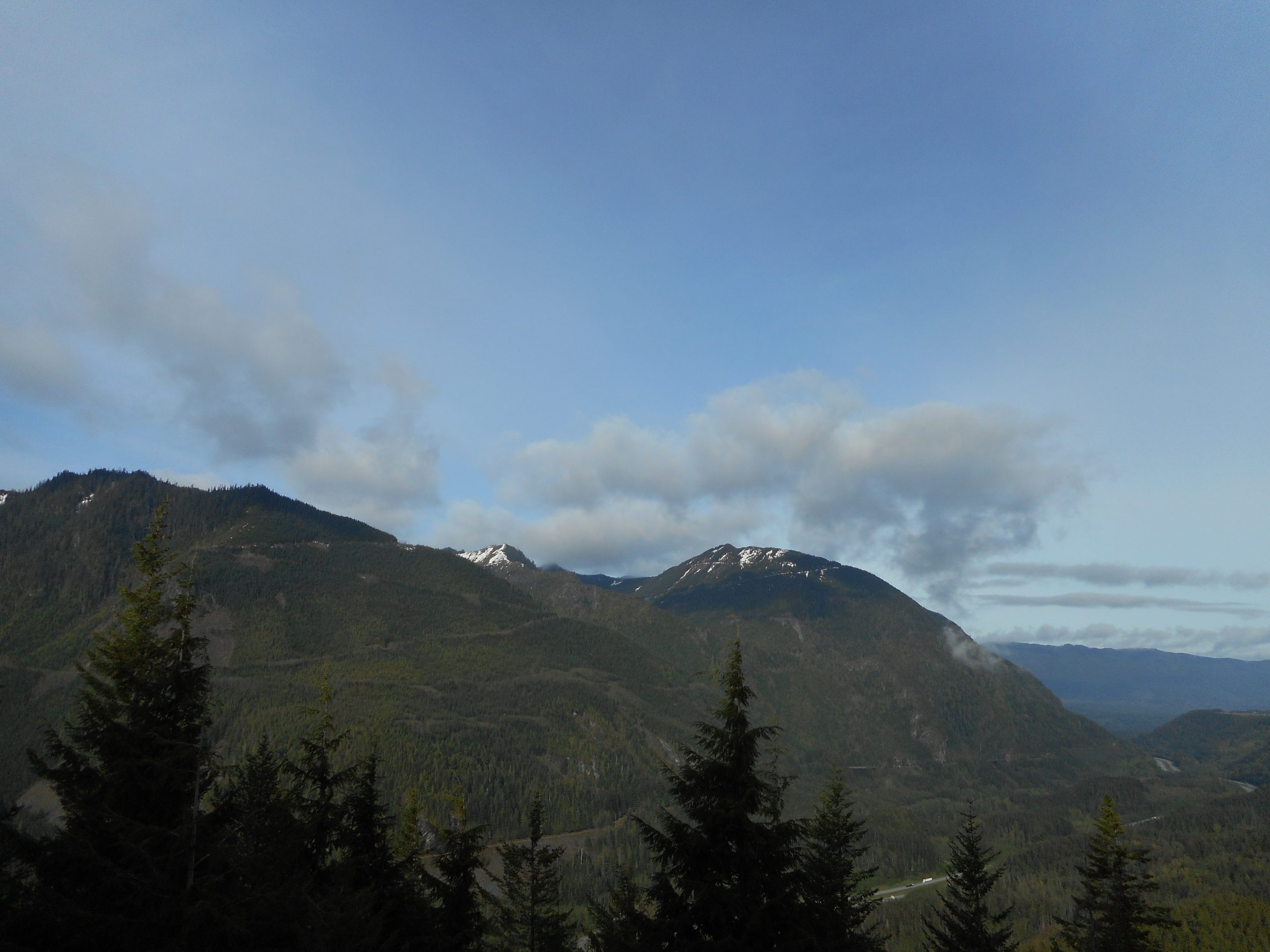
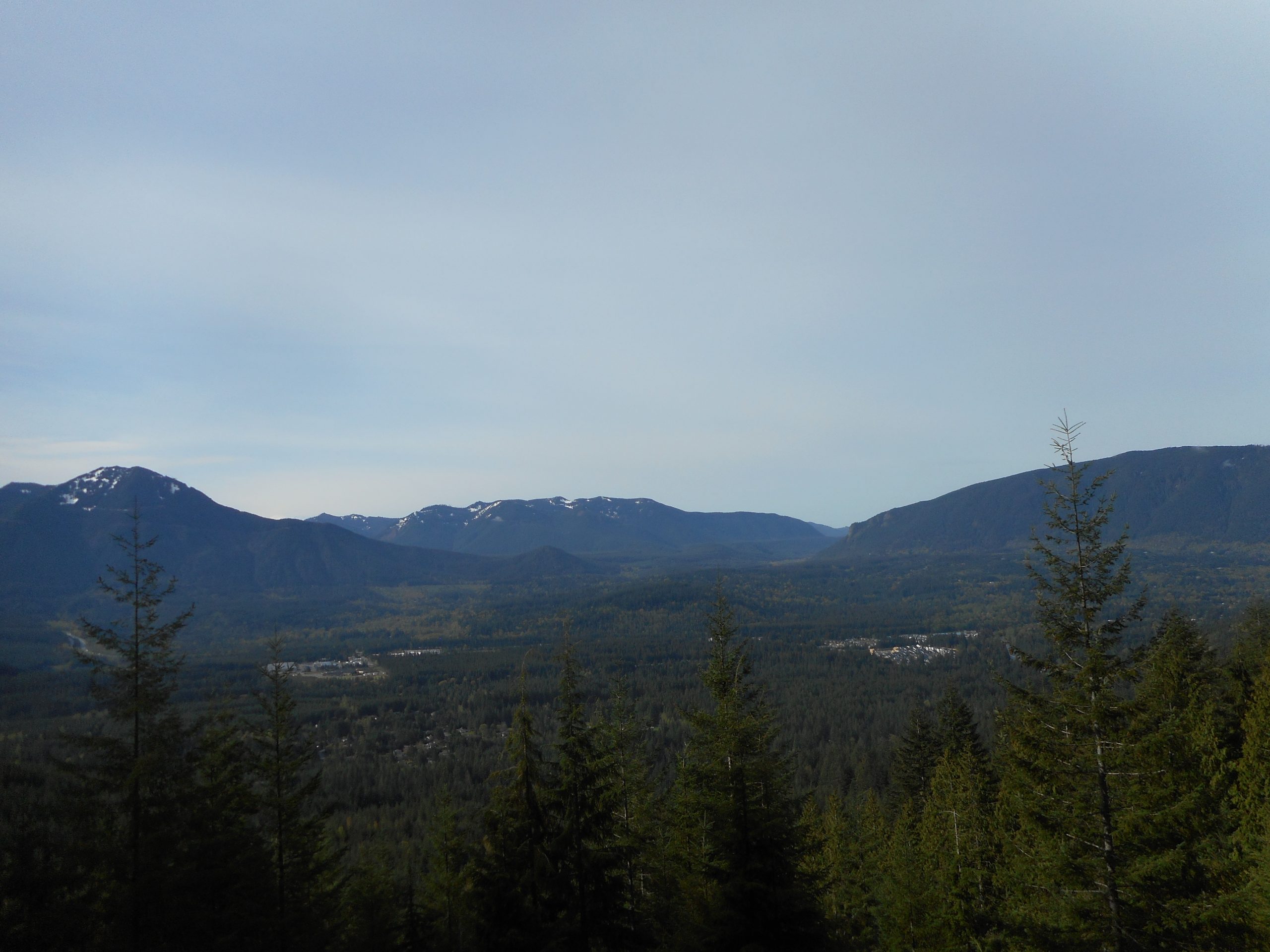
A nice, mostly sunny day:
Mountains to the SouthValley
The view just above shows mountains above a valley, created thousands of years ago by a huge glacier. The various ice ages shaped much of the northern hemisphere and the impact in the Pacific Northwest was huge. I sat there for about five minutes, just digging the view and thinking about the unstoppable movement of time. How our little lives are, in fact, rounded with a sleep.
About 6 miles, 1,800 feet of elevation gain, a good workout and a fun day. This trail has a long section of rocky switchbacks and it is imperative that you keep your eye on the trail – the occasional loose rock can create a painful surprise.
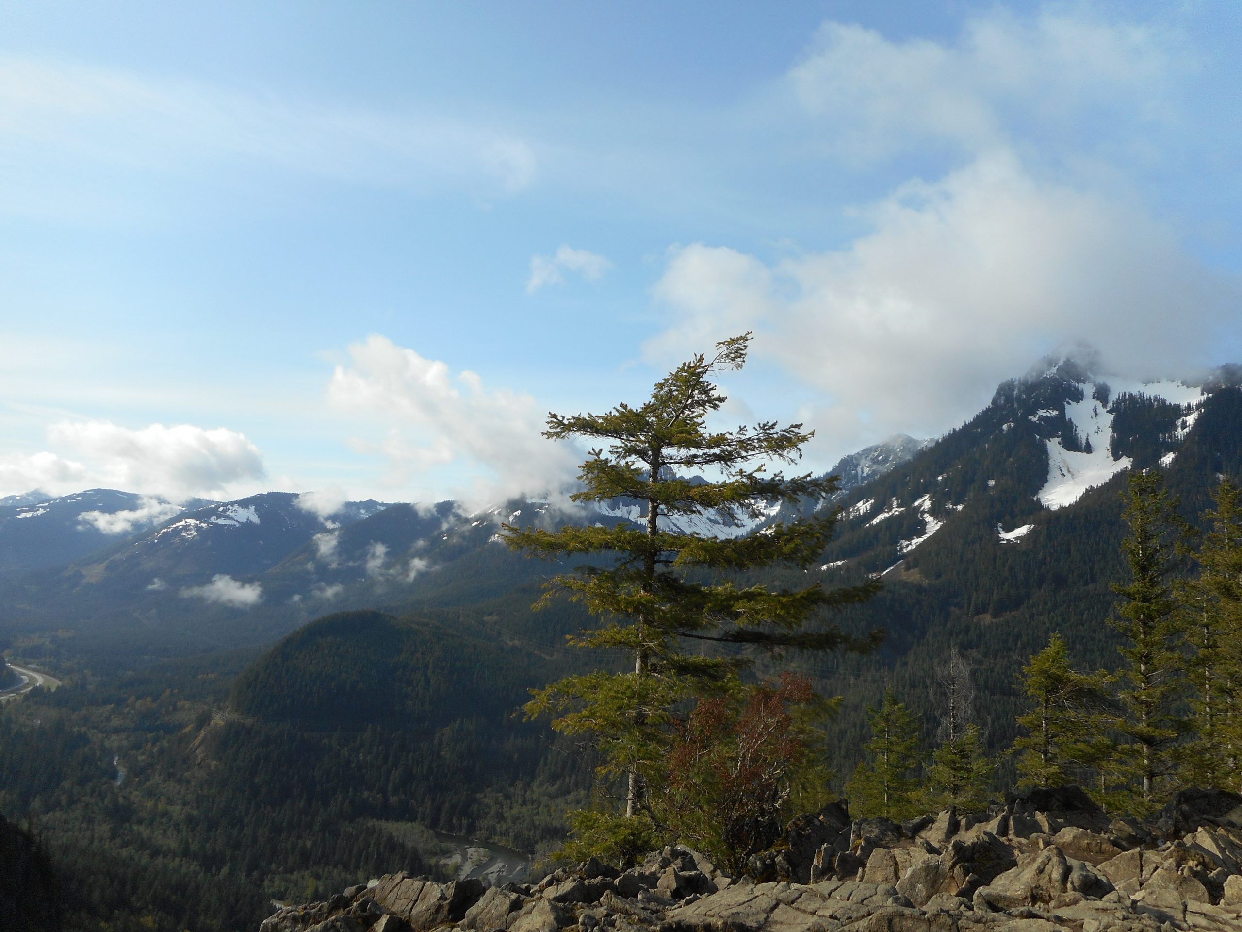
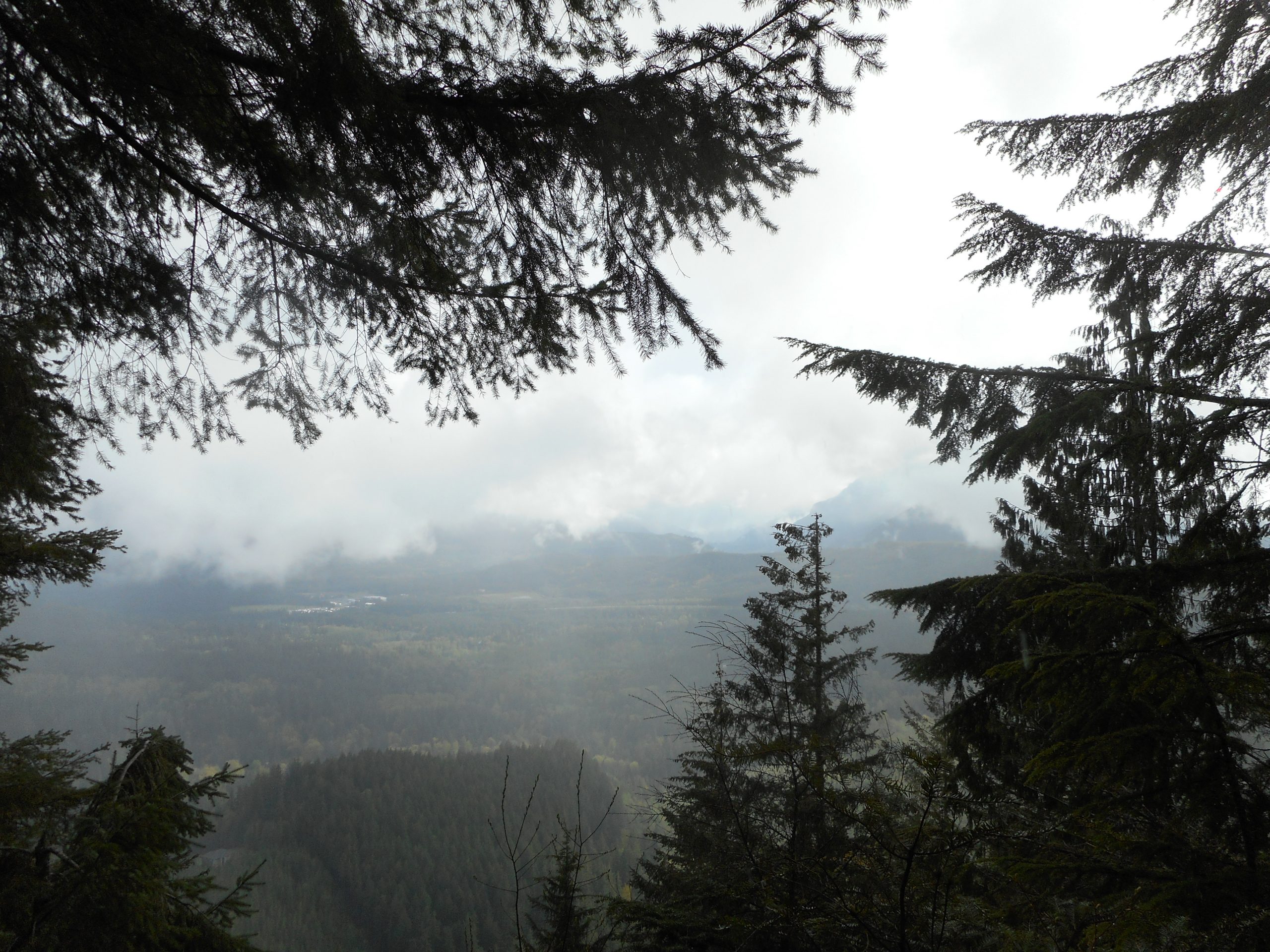
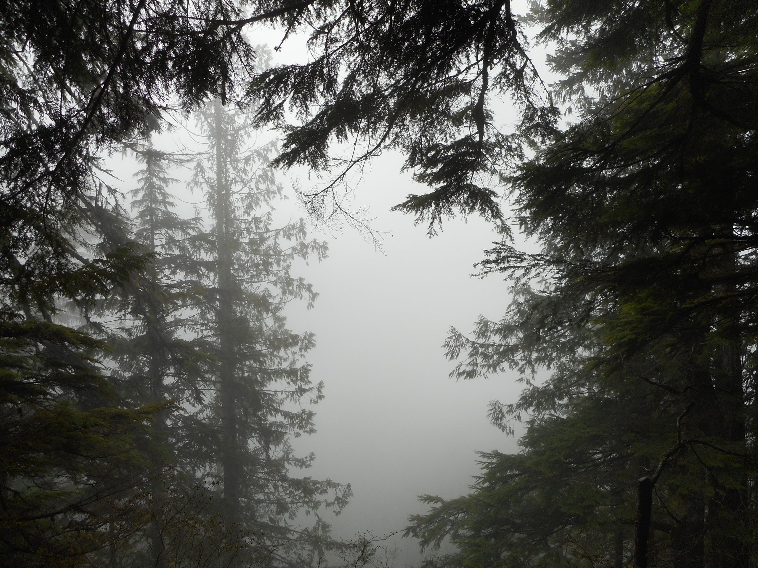
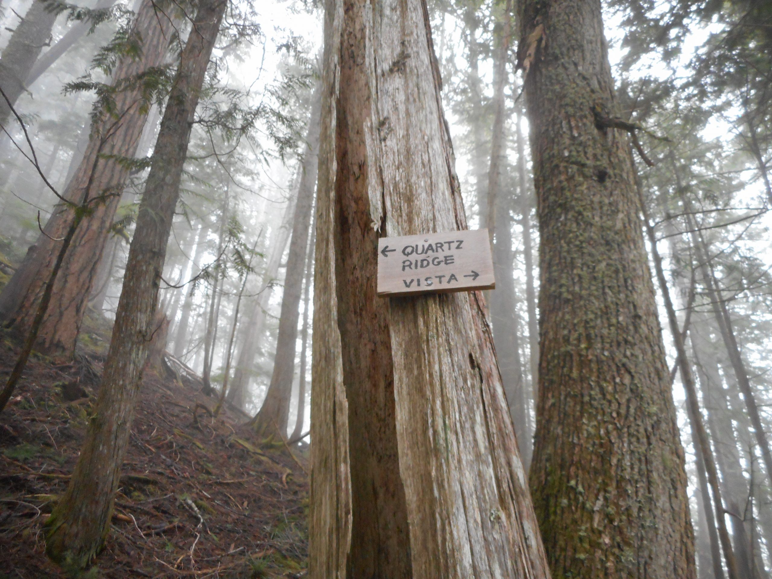
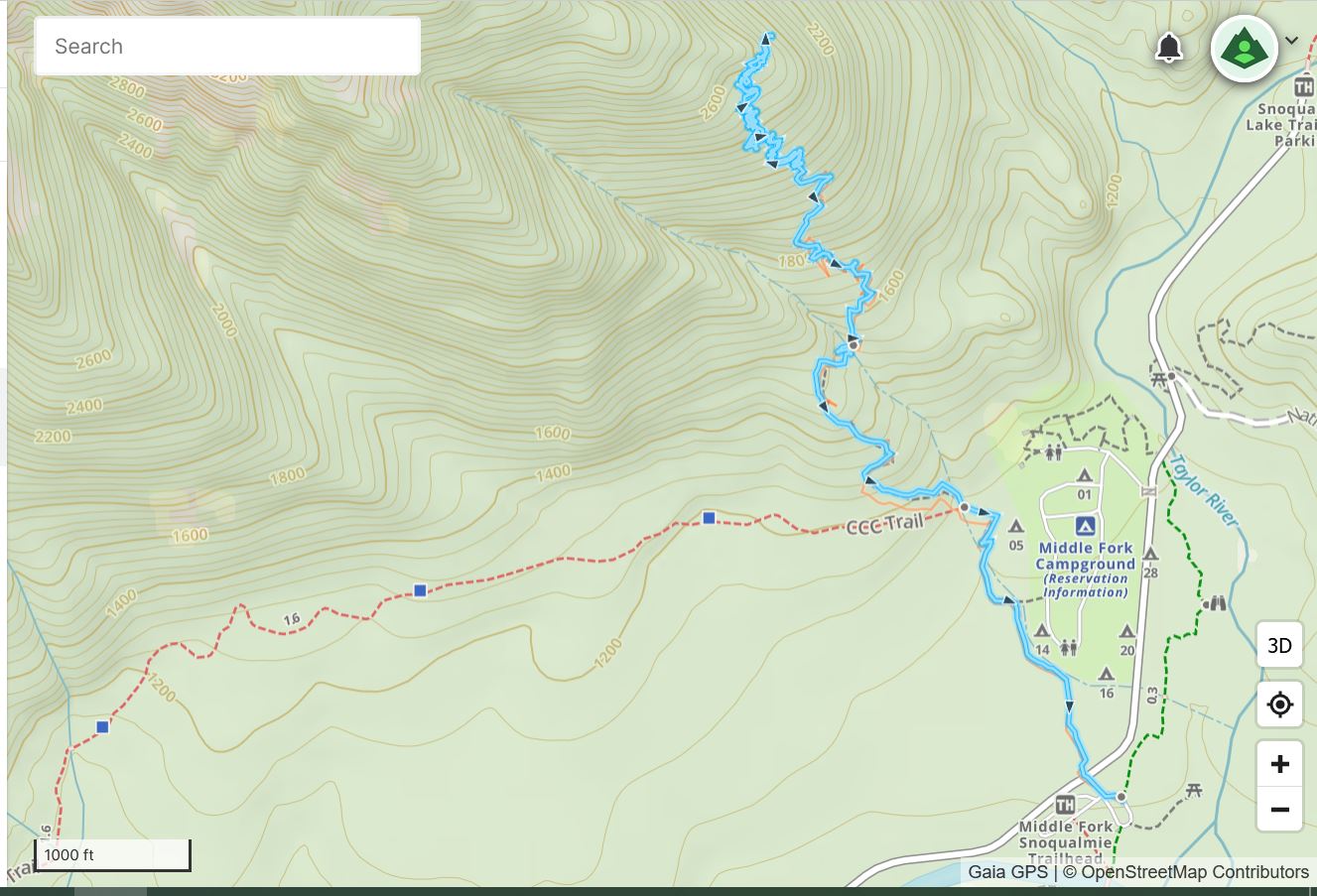
My goal today was to go up to the vista point on Quartz Mountain that Derek and I visited last summer en route to an epic climb to almost the summit. I wanted to see how long the hike is, out and back, but my new Garmin is a bit muddled.
In the field it was stuck on .92 miles for a long way. And when I got home and downloaded the track there were two tracks, the longest 2.31 miles. It appeared to be complete but I am certain it is much longer than that. It was about .4 mile on the CCC Trail to the start of the Quartz Trail (more like a bootpath, actually) and I counted almost 2,000 right-foot steps up to the vista.
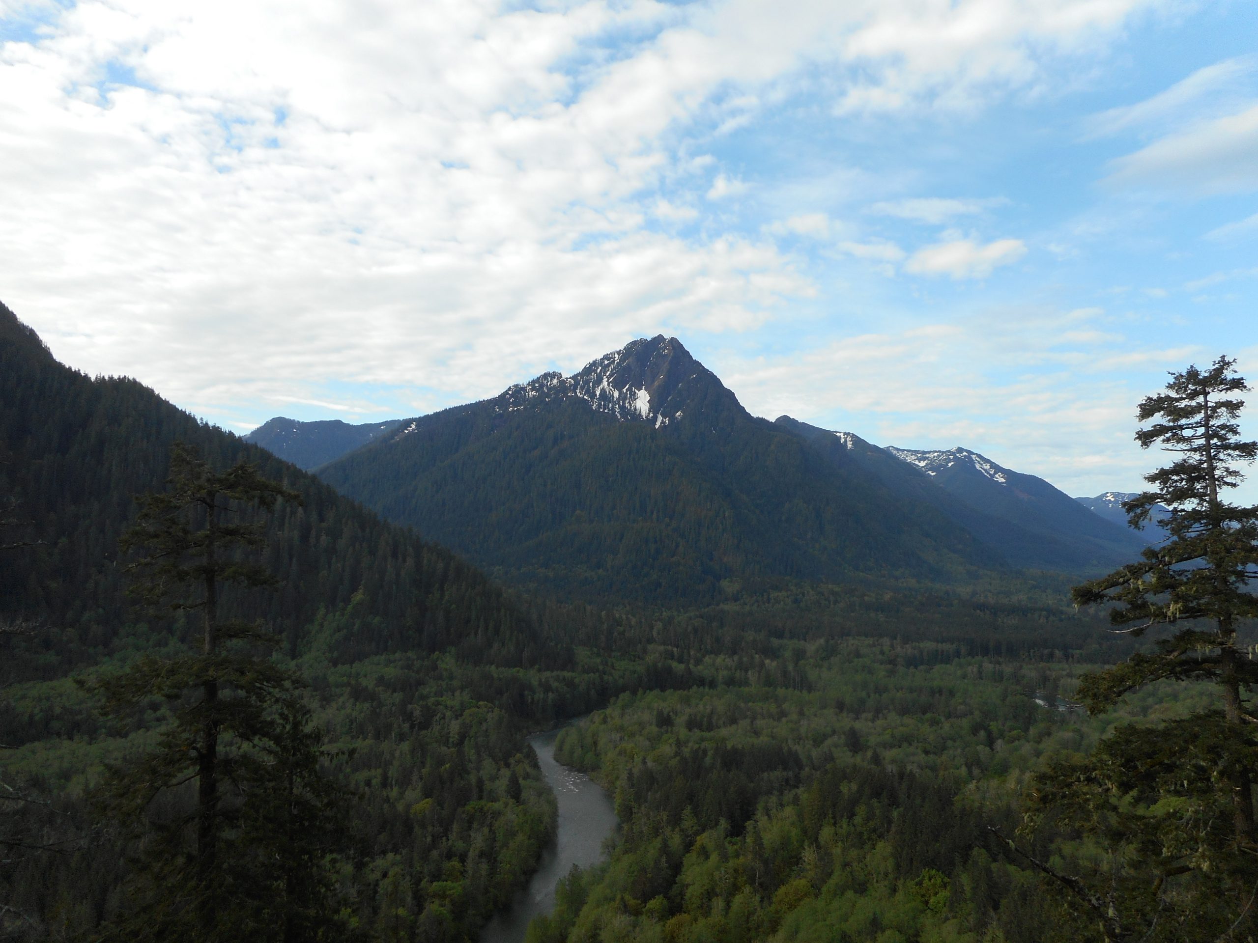
We Never ID’d the Ridge
On level ground one mile is about 1,200 right-foot steps, but on such a super-steep trail (it reminds me a lot of Zig Zag) it is hard to say. At the very least, a count of 2,000 has to be at least 1.5 miles, and so, round-trip, that would be roughly 3.5 miles. I will do this again and try a Gaia track.
In either case, it was a great hike. For one, I finally did a really steep one. Elevation at the start of Quartz Trail was about 1,100 feet, and the vista was 2,585, so almost 1,500 feet in roughly 1.5 miles. Not bad.
But the other reason it was a good day was that I finally got back to my favored three-a-week pattern. I hope to keep it up.
I know from last summer with Derek on this trail that this is a super view point when it is sunny. You are staring right at Rooster Mountain and the valley between Quartz and Rooster. It is beautiful.
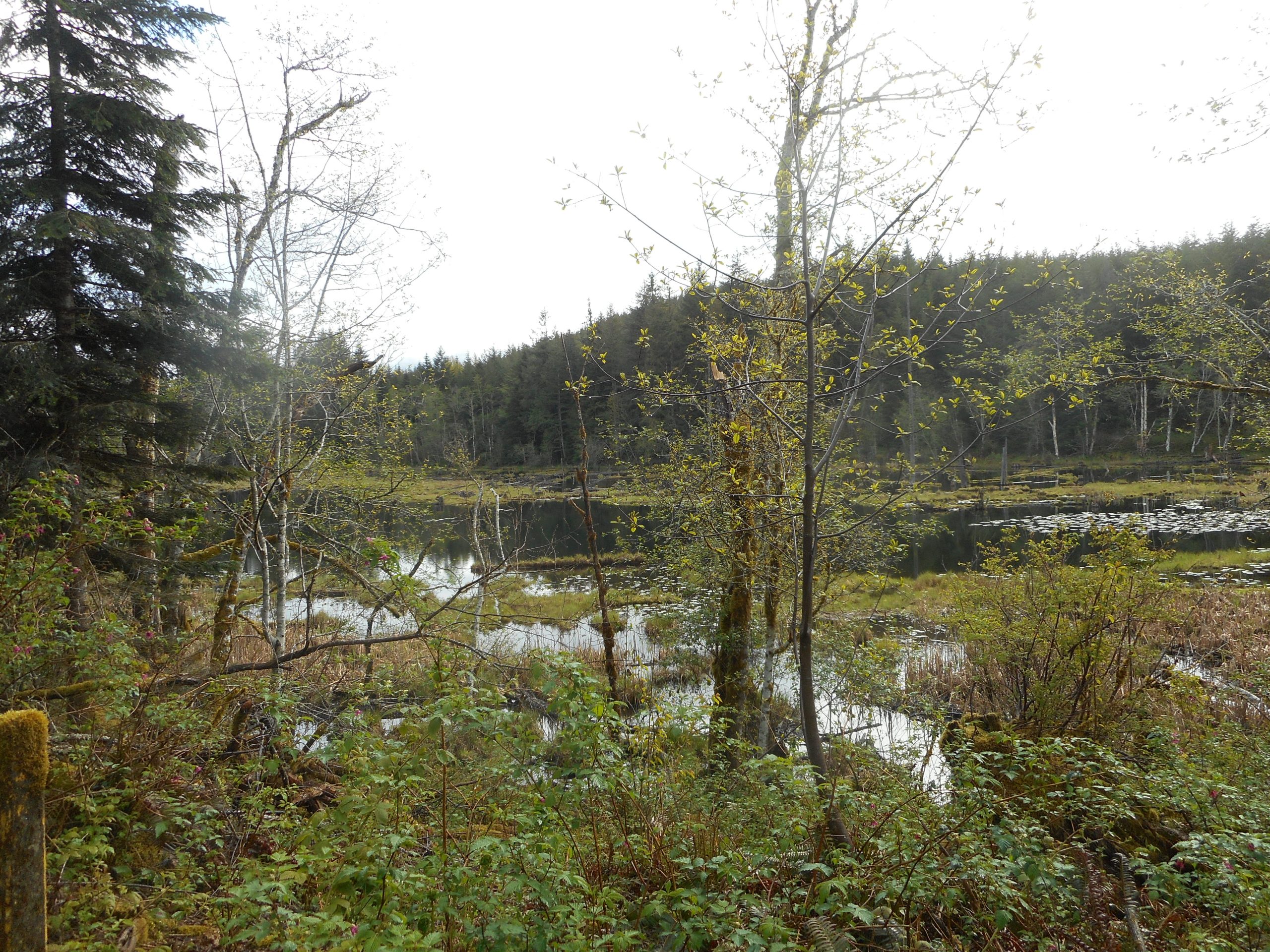
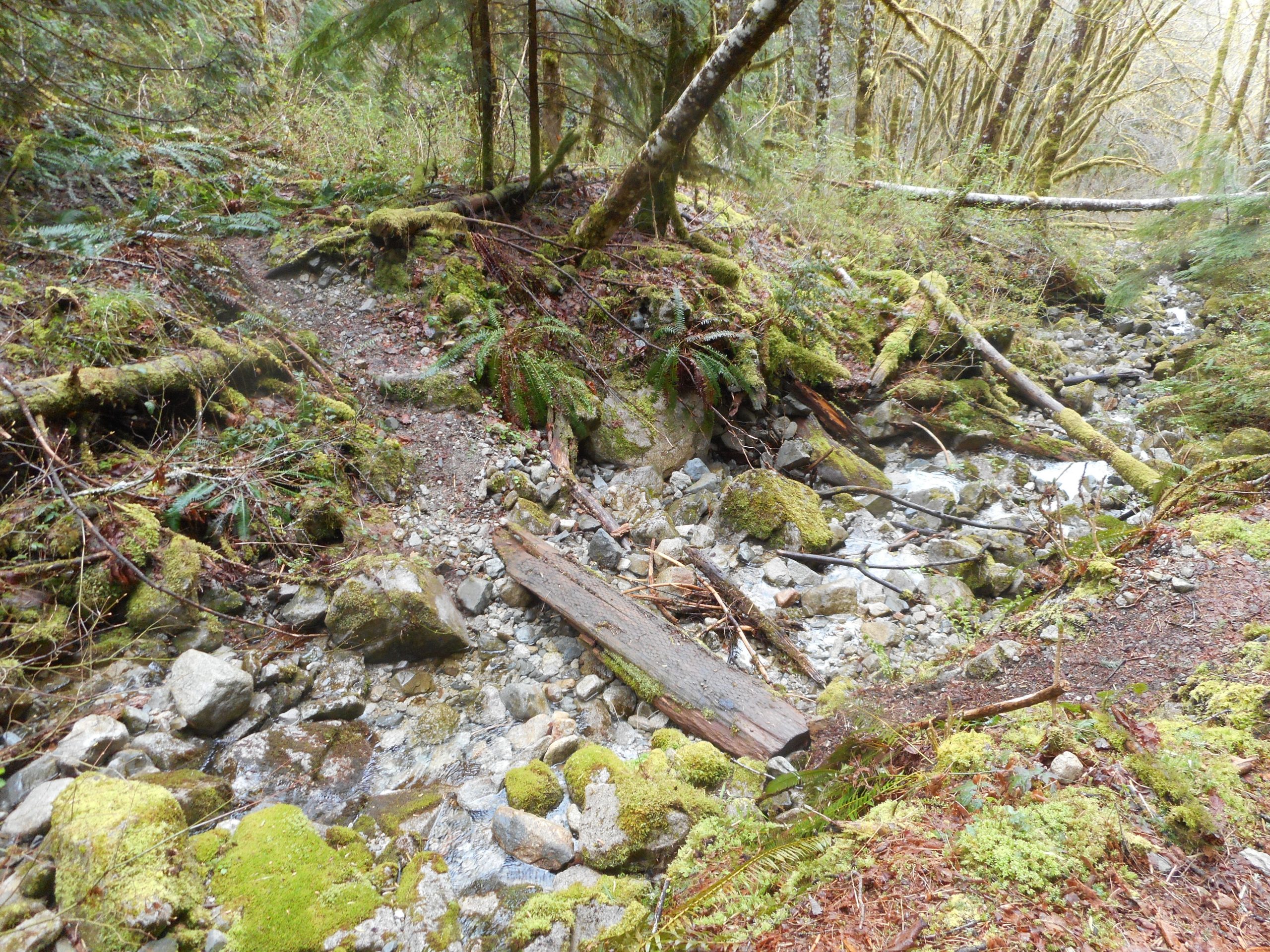
Just past the Nordrum Lookout the trail dips down sharply to a little stream:
And then climbs the ravine on the other side, and from that point upward it is a real workout. So it is all good.
Not sure when I will be back here for a better measurement, but I will pick a day where all the effort will be rewarded with a view.