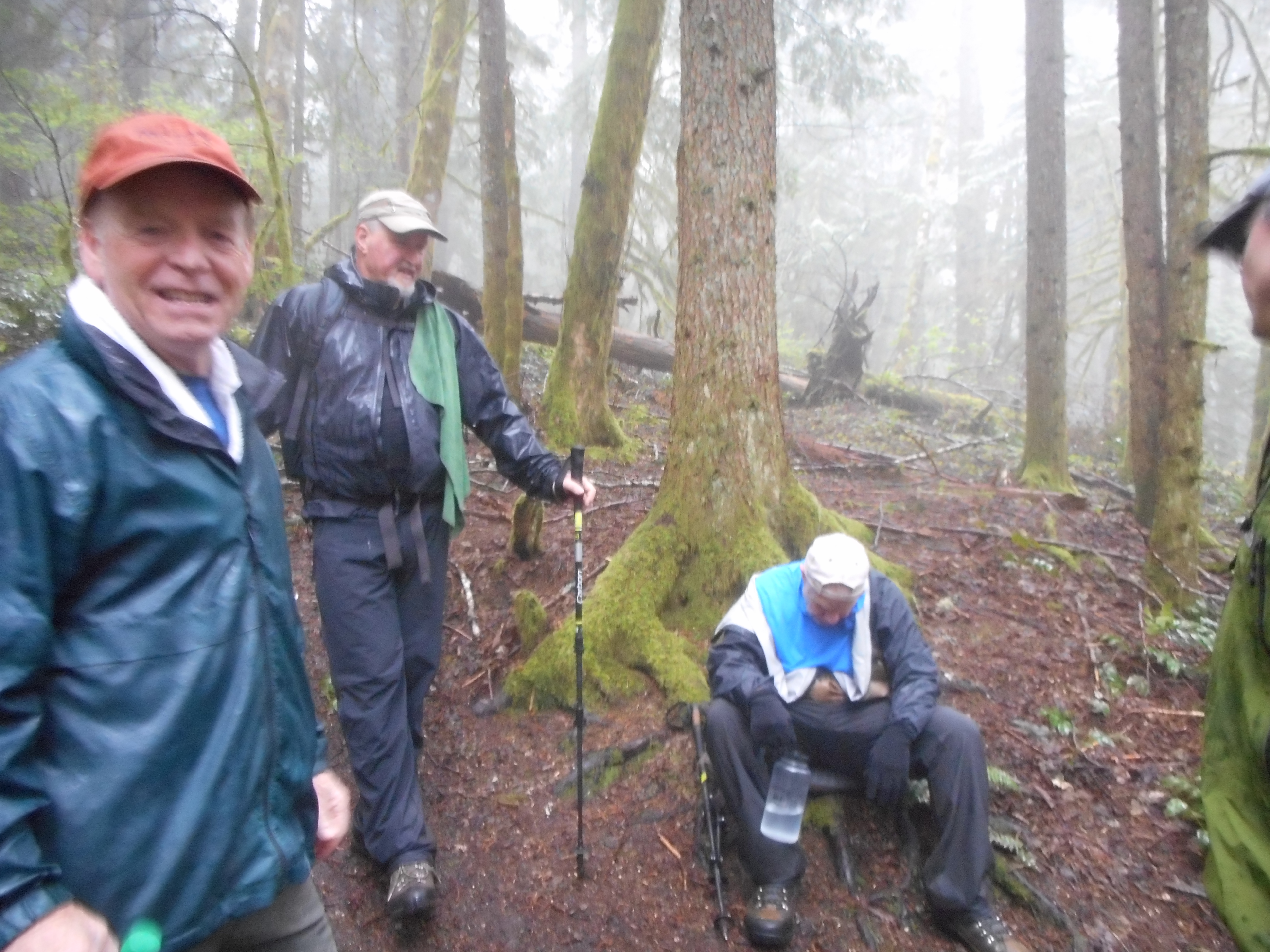
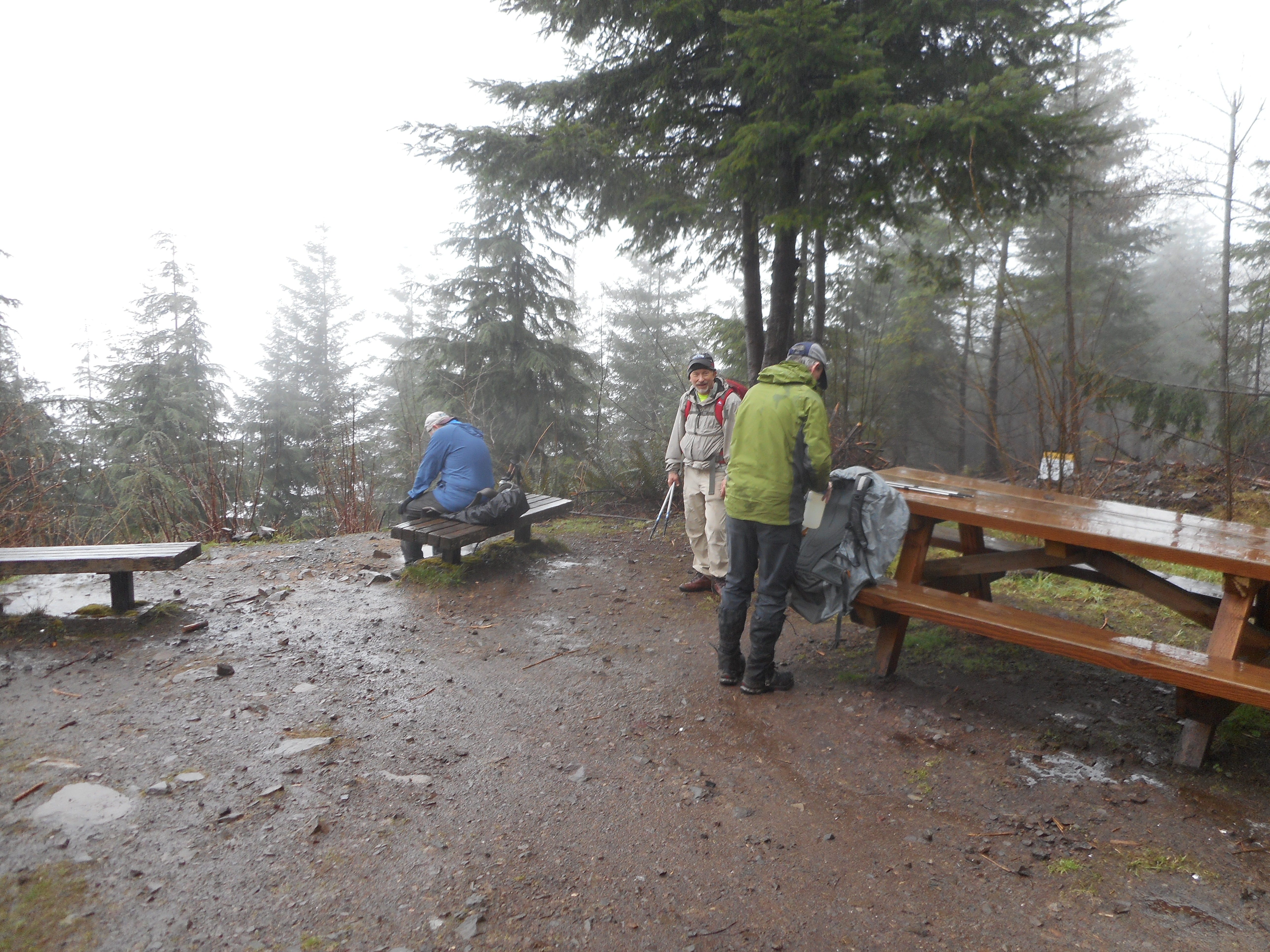
Our plan today was to hike the Preston Trail up to West Tiger #1 but we stopped a bit short of the summit because we were soaked to the skin:
Where We Turned Around
Great group today, Mike, Greg, Ken and Mark. We were all in agreement that we had enough rain for the morning. Just one of those Pacific Northwest rainy days – not a deluge but a steady rain and, even in the forest, wet enough.
How do you celebrate Earth Day with people like Pruitt and Zinke tearing it up?
A nice 8-miler, 2400 feet of elevation gain with two outstanding conservationists, Carl Peterson and Mike Holland.
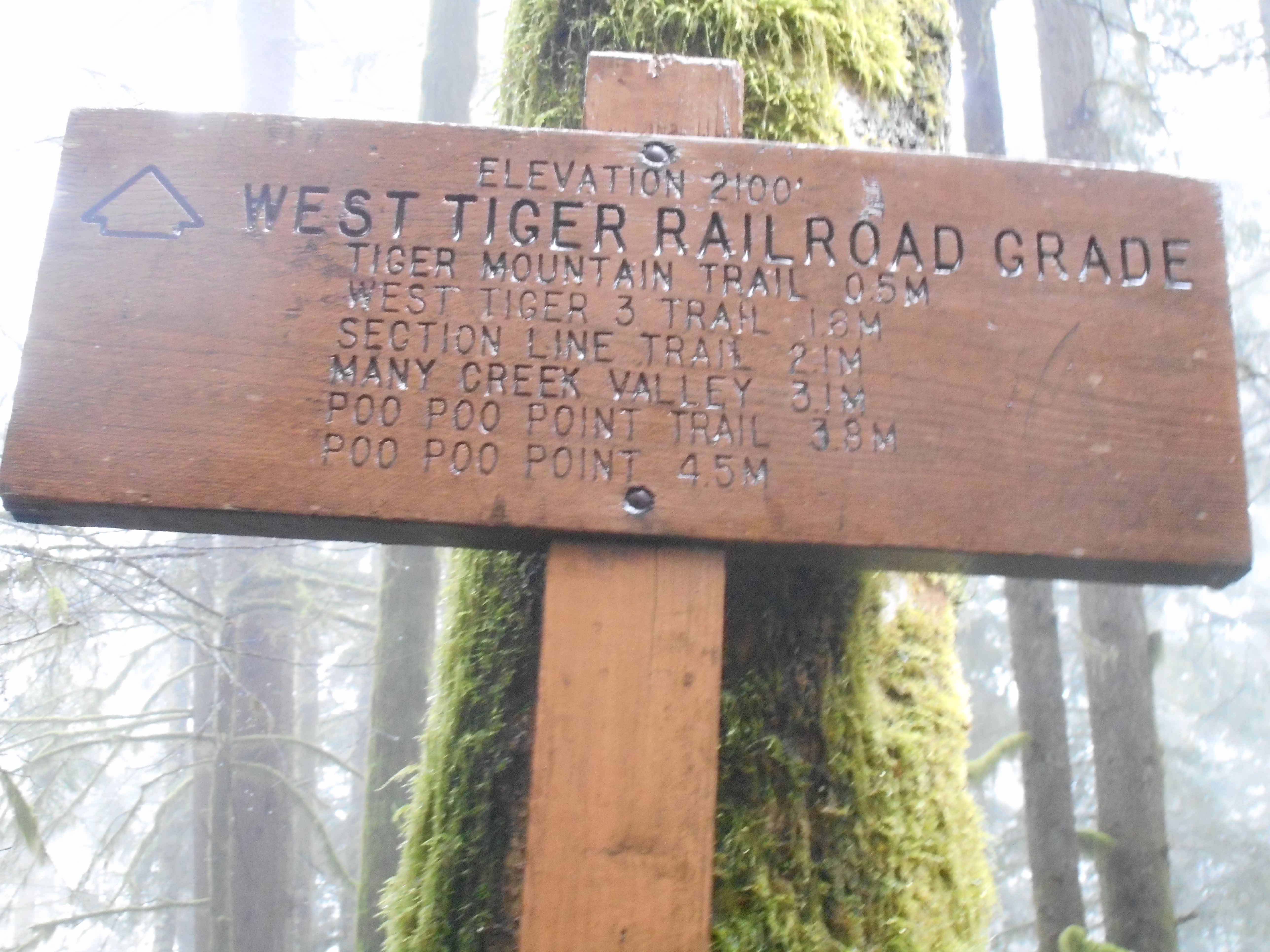
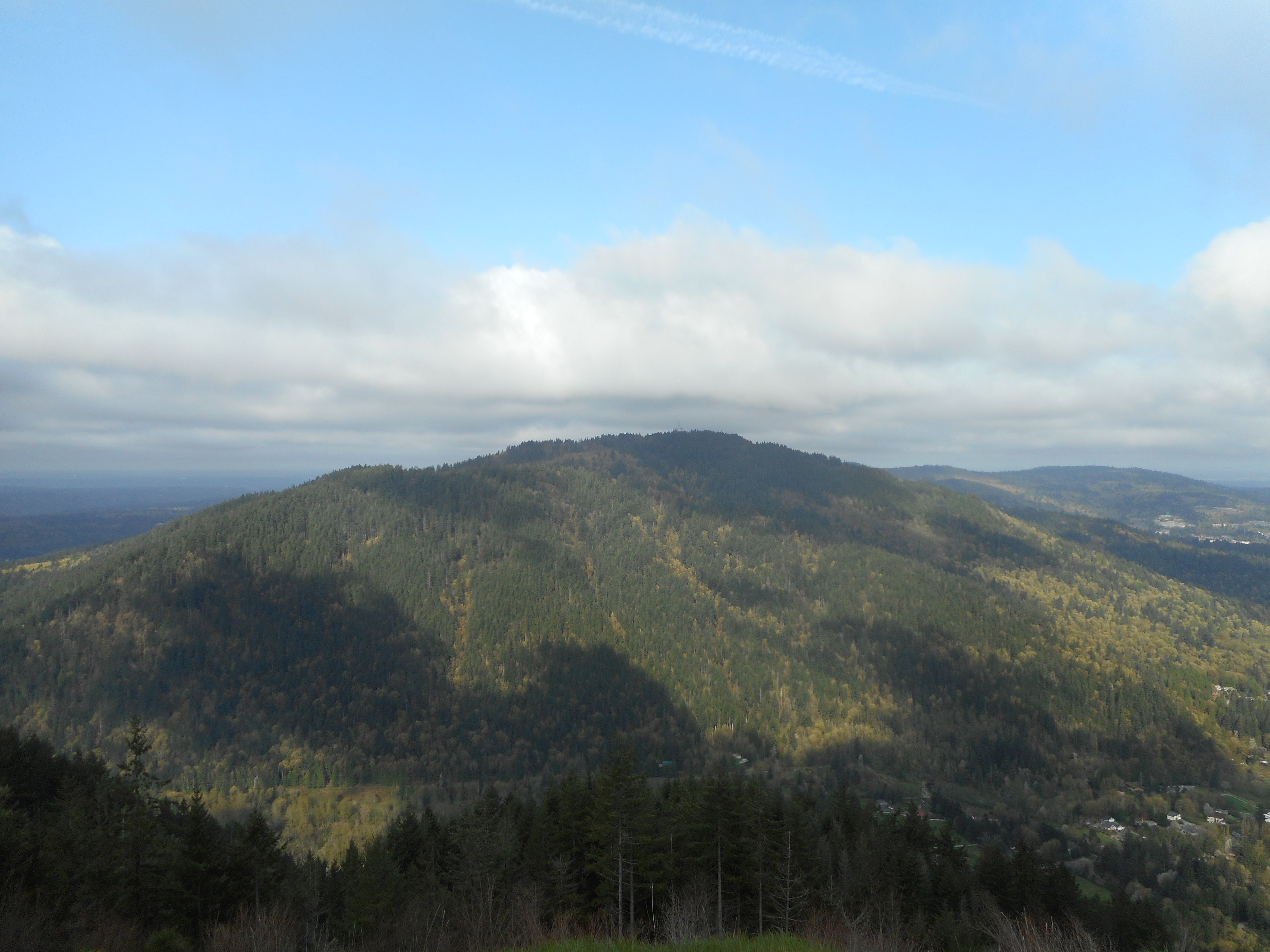
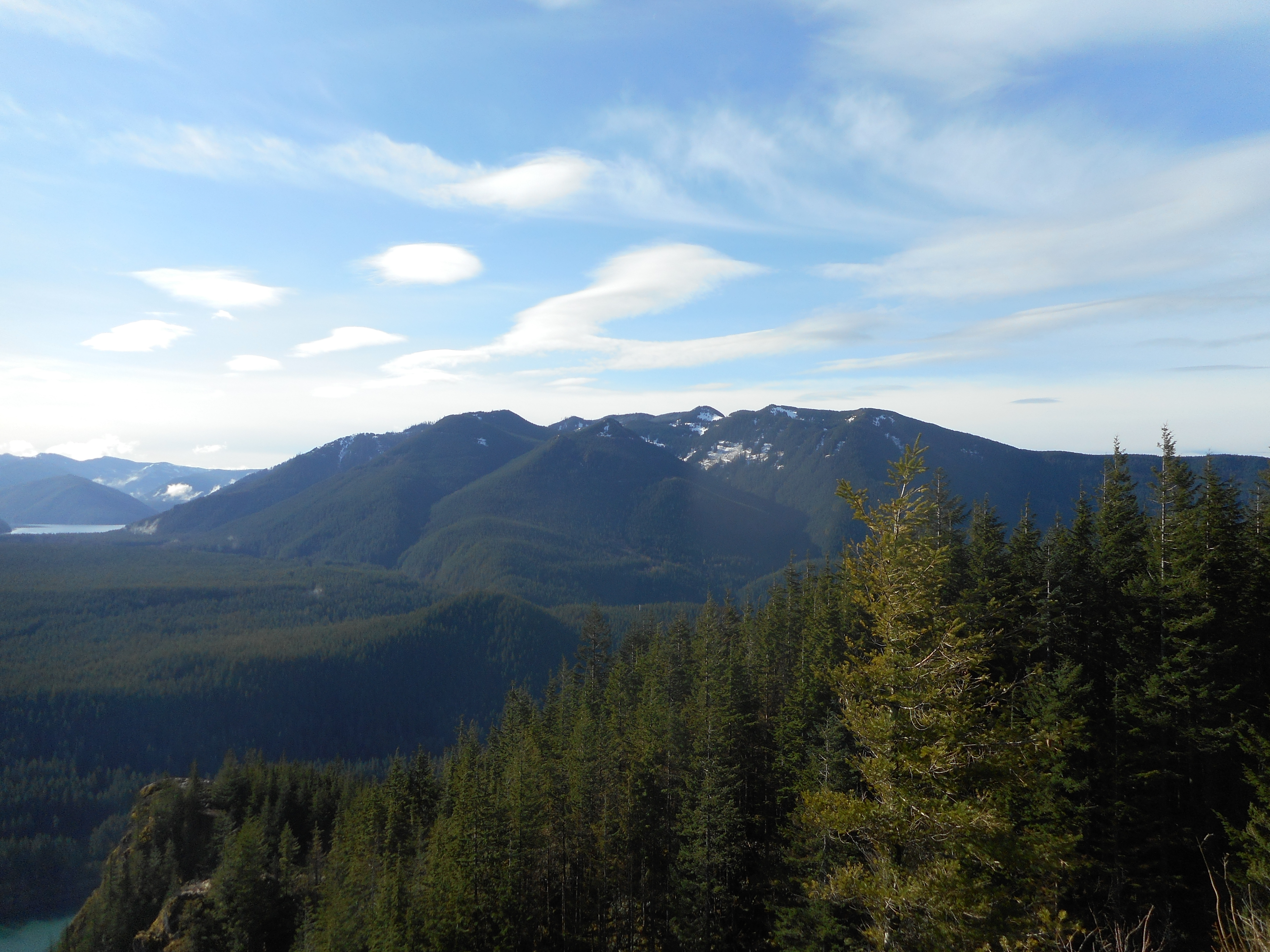
Wonderful workout, great fun. Poo Poo is just across from Squak Mountain:
Squak Mountain from Poo Poo
Spring has sprung, today was beautiful and the forecast for all next week is great. Not sure what hikes I will do next week but weather won’t be an issue.
Nice Margaret’s Way hike today with Ken and Greg. This is a nice hike, about 1,800 feet of elevation gain, much of it in the first mile (it does get your blood pumping right out of the gate), 6.6 miles round trip.
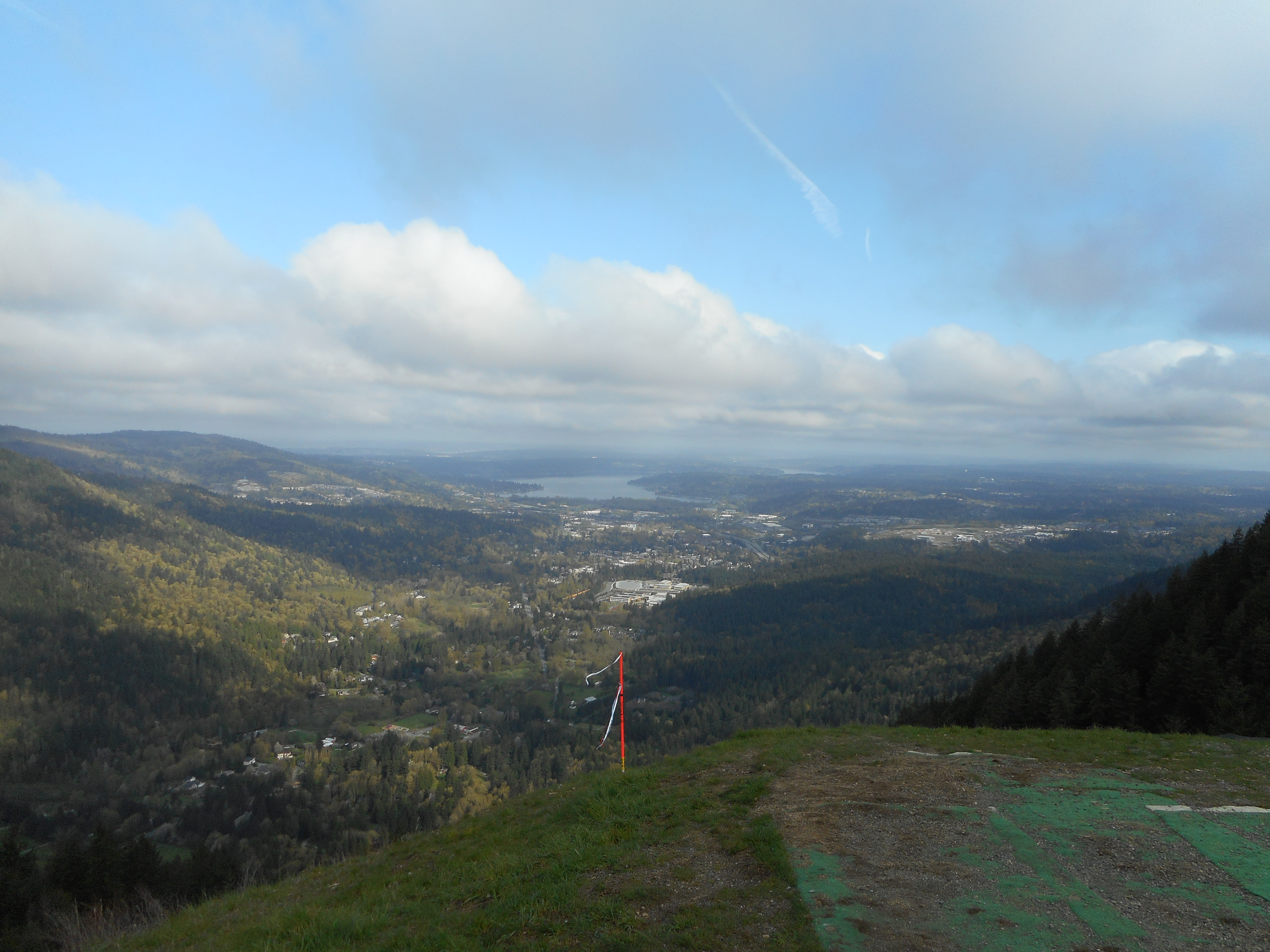
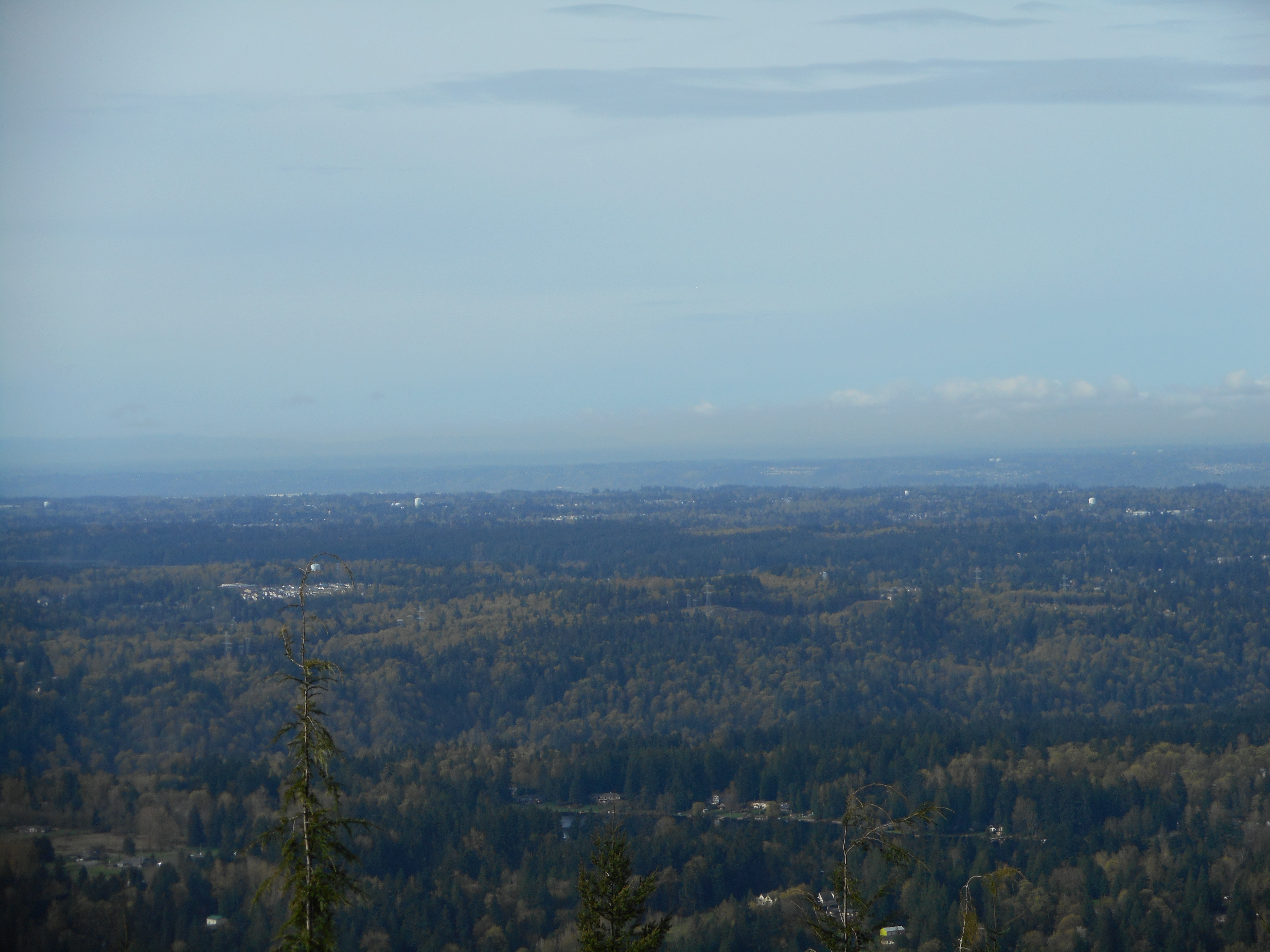
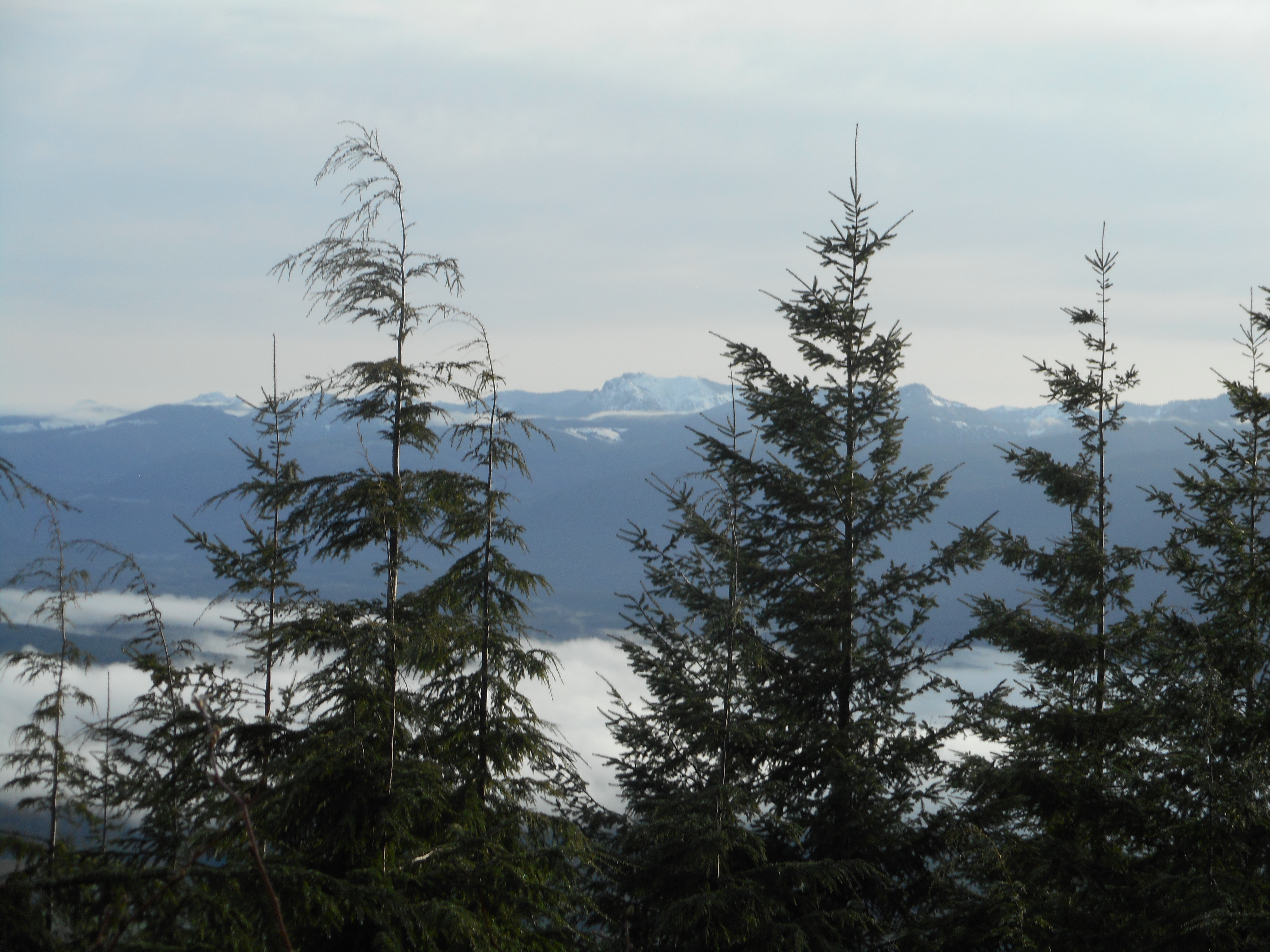
We are getting into a better weather pattern, after near-record rainfall totals for April. Was able to look out on the metropolitan area:
Looking West
As always, retirement rocks, this sure beats sitting in a meeting room listening to programmers and software architects argue about how to implement the latest tech fad.
Carl has been talking about the Tolt Pipeline Trail and we are scheduled to do it this Thursday. I am meeting Ken and Greg tomorrow to do a Squak Mountain hike but today was nice so I thought I would get an early check on the Tolt Trail.
And I am glad I did. This is my new go-to conditioning hike. It is a wonderful trail – actually a road you could easily drive on, except all reasonable access is blocked by gates – that runs more than 20 miles between Bothell and – well, I am not sure how far it goes. To Sammamish? Carnation?
Anyway, you can get to this trail from any of the numerous roads the trail crosses. That sounds intimidating, but almost all of them are little neighborhood streets with little traffic. There is one fairly busy street but it has a stoplight with a walk signal so crossing is not an issue.
I parked in Woodinville just off 202, near some ball fields, just down the road from Ste. Michelle Winery and Willows Lodge. Who knew a really nice trail went through that area?
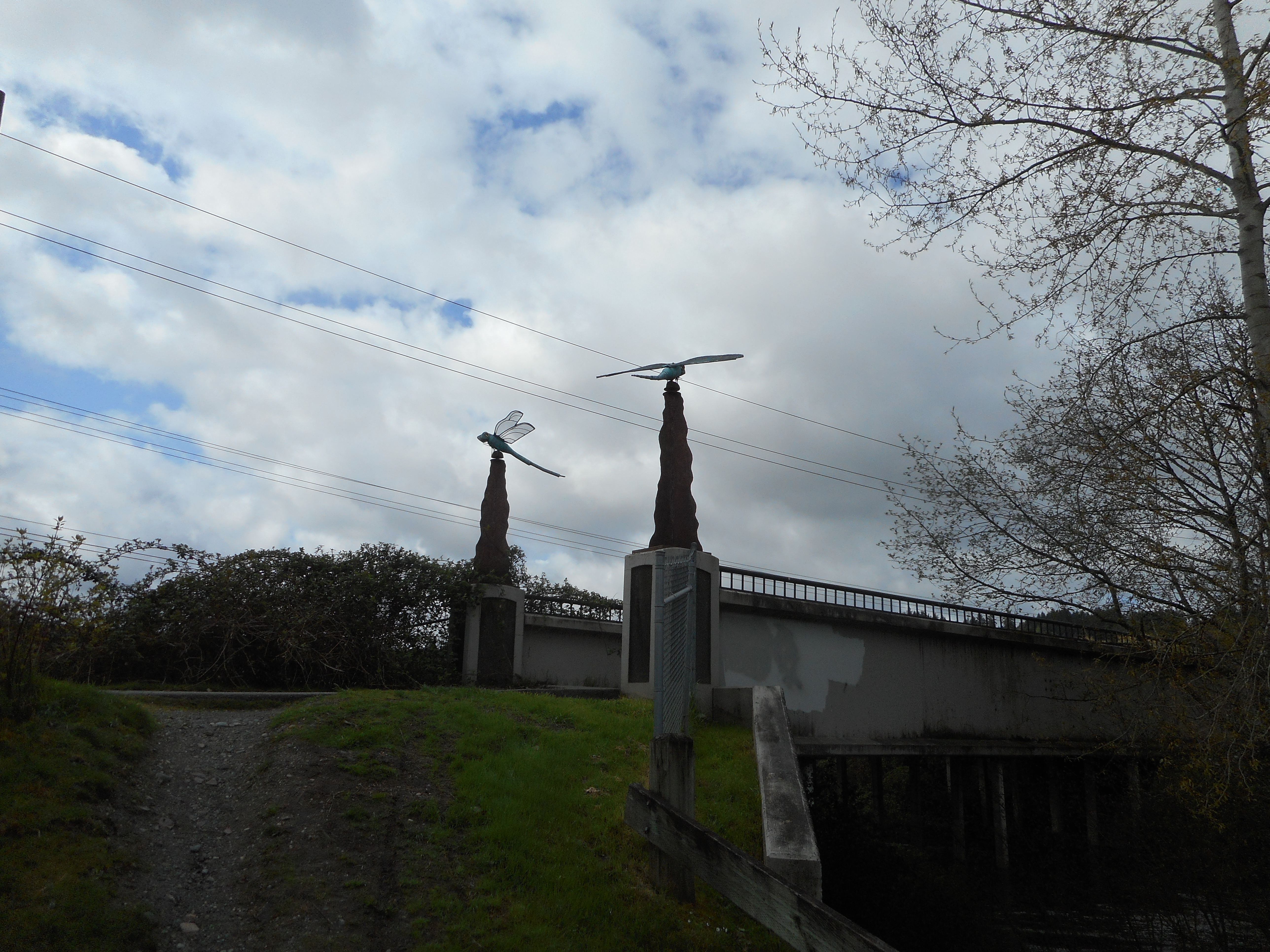
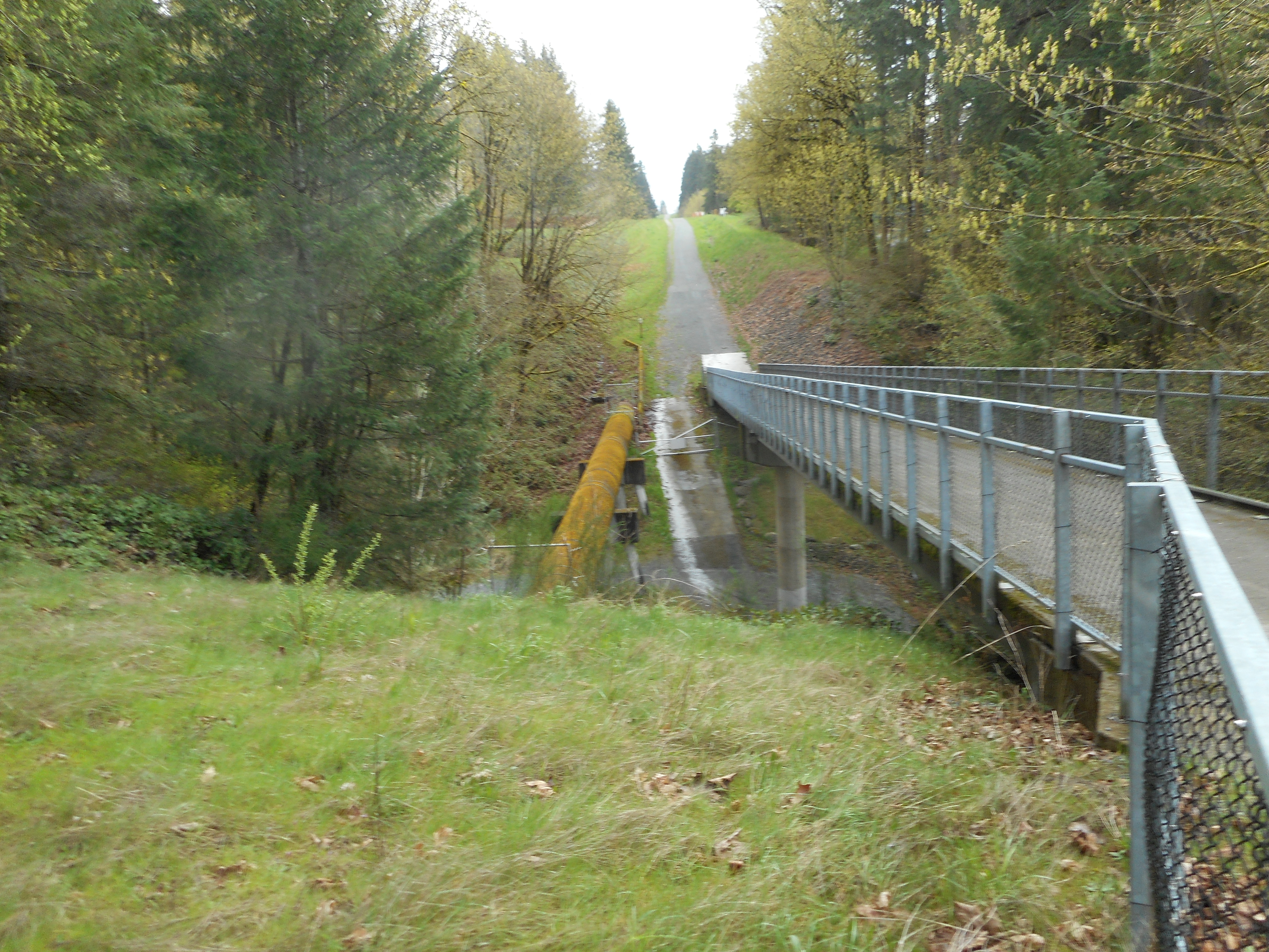
Turns out more than one trail goes through there. You leave the parking lot and immediately hit the Sammamish River Trail. The pedestrian bridge there has a couple of beautiful monuments (or whatever they are called) as you can see above.
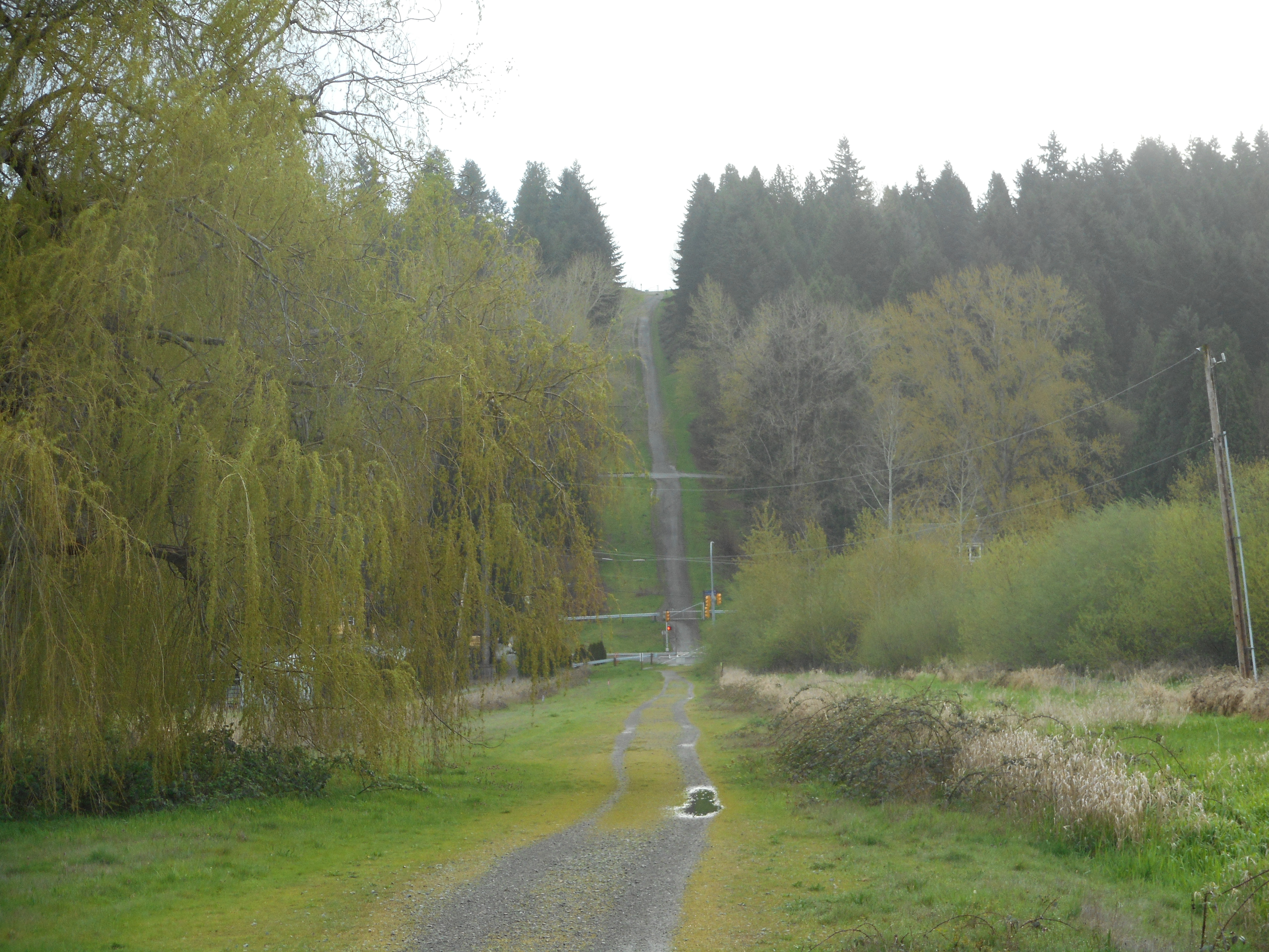
A short walk on this trail and the Pipeline trail intersects. As soon as you turn onto the trail you can see the famous Heart Attack Hill in the near distance:
Heart Attack Hill
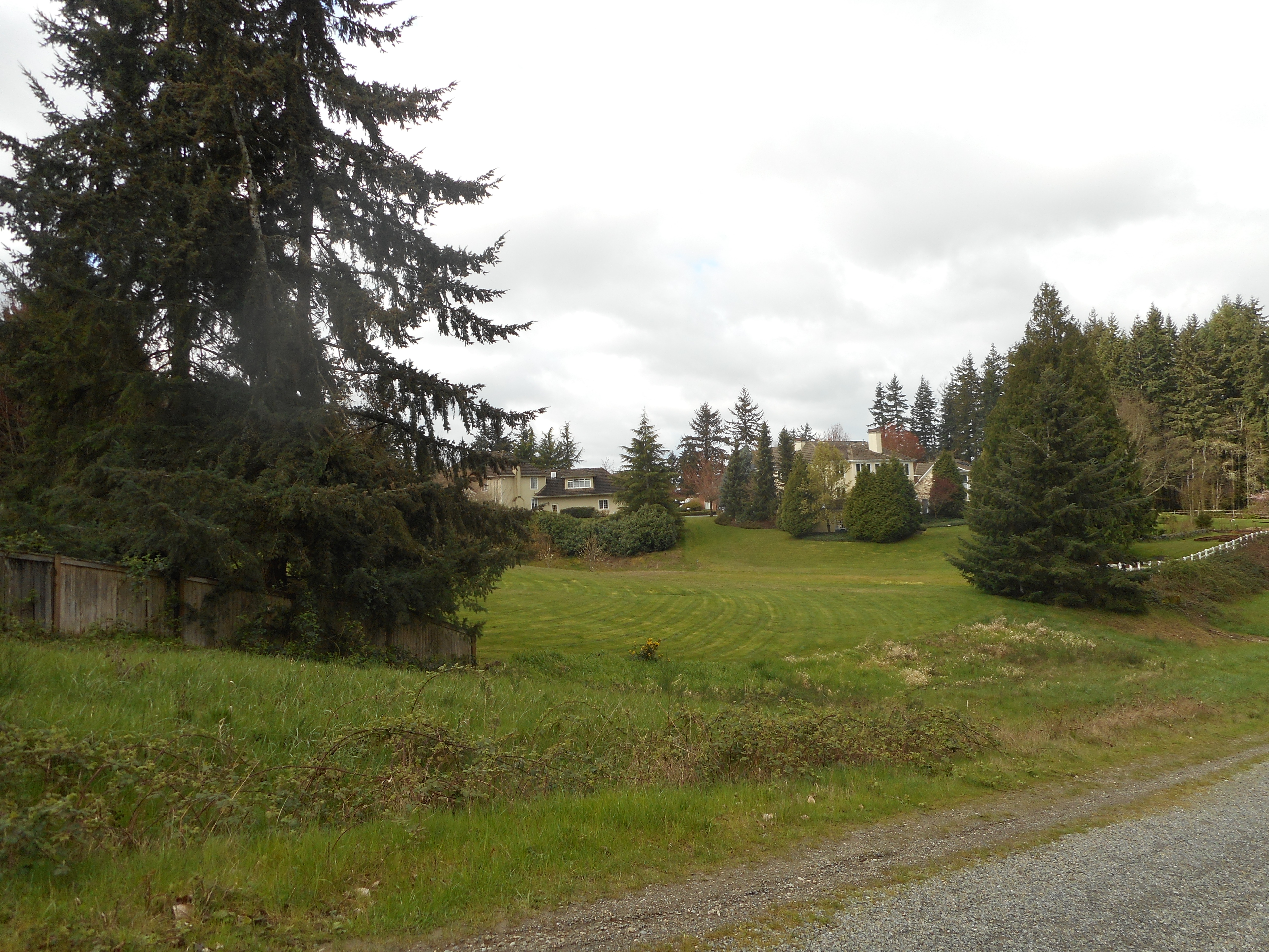
The trail goes up and down through beautiful semi-rural country, with numerous beautiful houses, horse farms and stands of trees lining the trail.
Nice Backyards
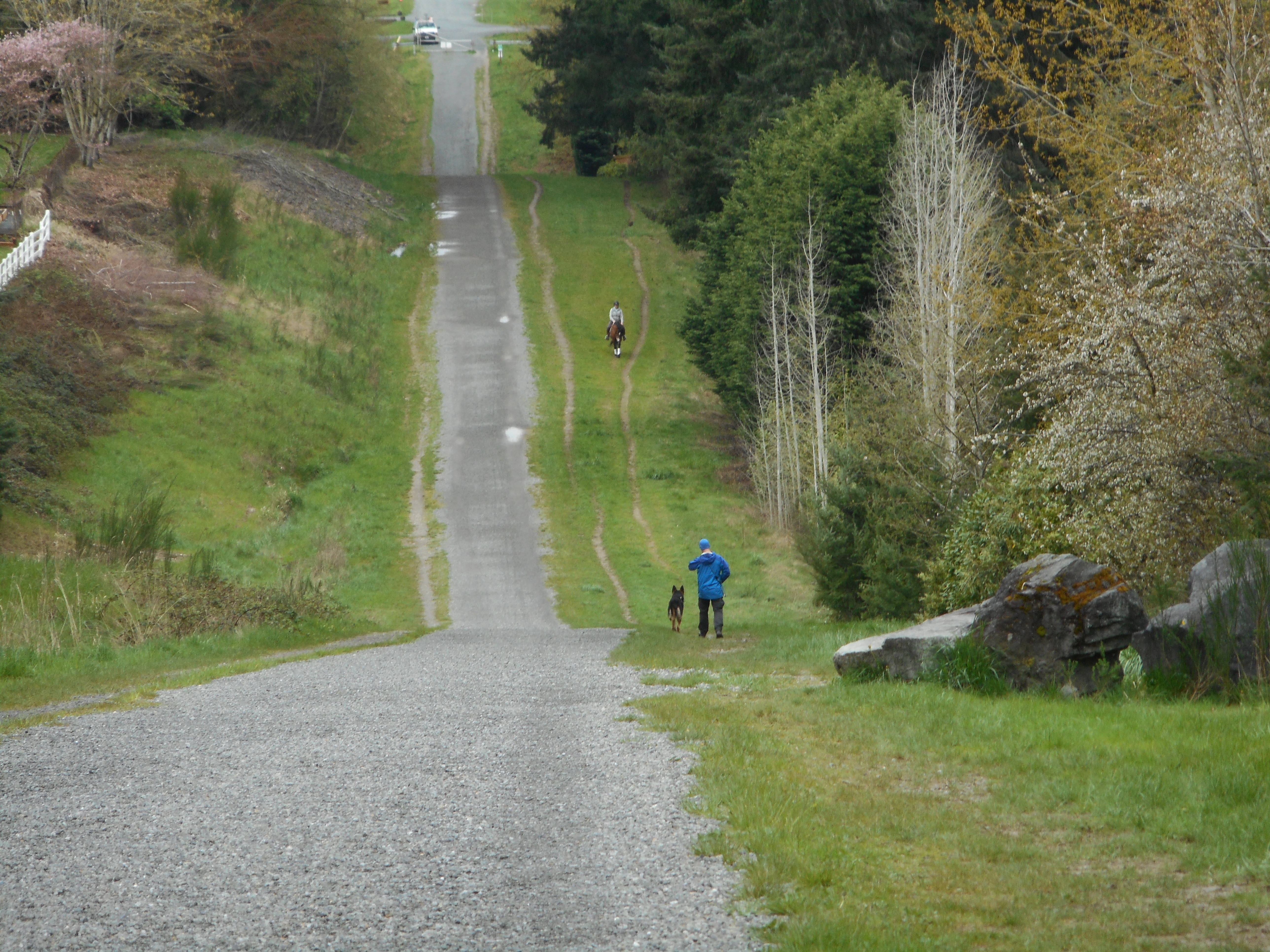
I cannot count the number of people with dogs and/or kids I encountered. And one horse:
Horse on the Trail
Of course, a trail with the word ‘pipeline’ in the name has to show you a pipeline at some point, no?
The Actual Pipeline
All in all a really nice trail and best of all, not all that far – don’t have to drive south on I-405 through Bothell, Woodinville, Kirkland, Redmond and Bellevue traffic then east in I-90 (then reverse the route going back).
Many thanks to Carl for telling me about this great trail. I would add that at the trail head just outside the parking lot is a map of the major trails in and around King County – whoa! Lots of trails, most of them family-friendly and no doubt fun. There is a lot to explore.
Drizzly day – we are already over the normal rainfall total for April – but not a downpour so not bad.
Did Stan’s Overlook with Ken, Mark, and Carl. Good workout, coffee afterwards, it’s all good.
Looking to get out three times next week as well. My goal is to be fit for the summer when the avalanche danger is gone and the tougher hikes are options again.
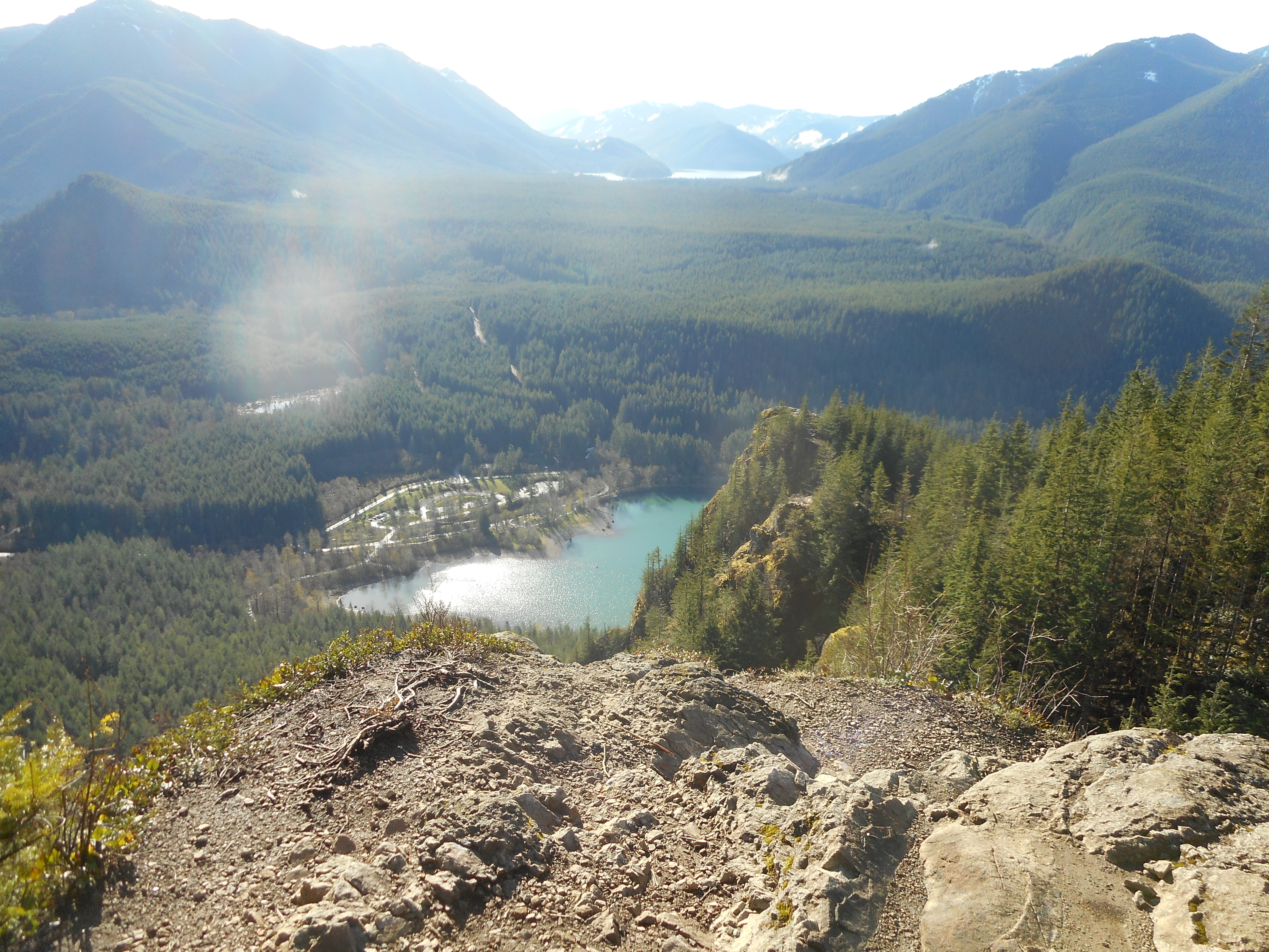
I have done two hikes this week. Solo, I did Rattlesnake Mountain/Stan’s Overlook on Monday:
Stan’s Overlook
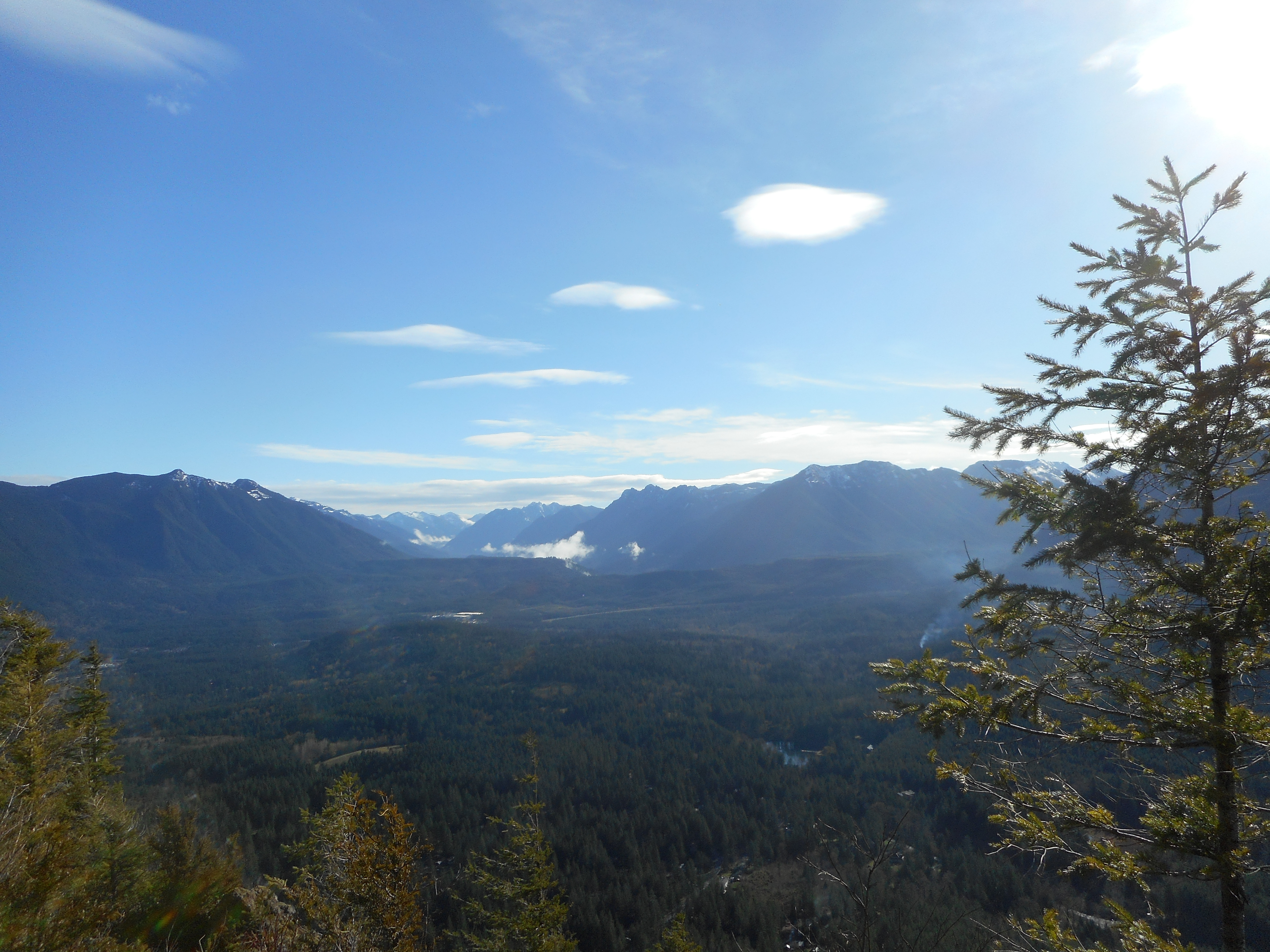
Today, 4/11, I went up the other end of Rattlesnake Mountain with Ken. We started up the Old Trail and went to the third (upper) ledge. We expected a downpour and were dressed appropriately but it turned out to be beautiful:
Looking NorthwestRattlesnake Lake
This retirement gig is sweet!
Babysitting duty on Friday, they may have a sleepover that night, if so I will try to get out on Sunday.
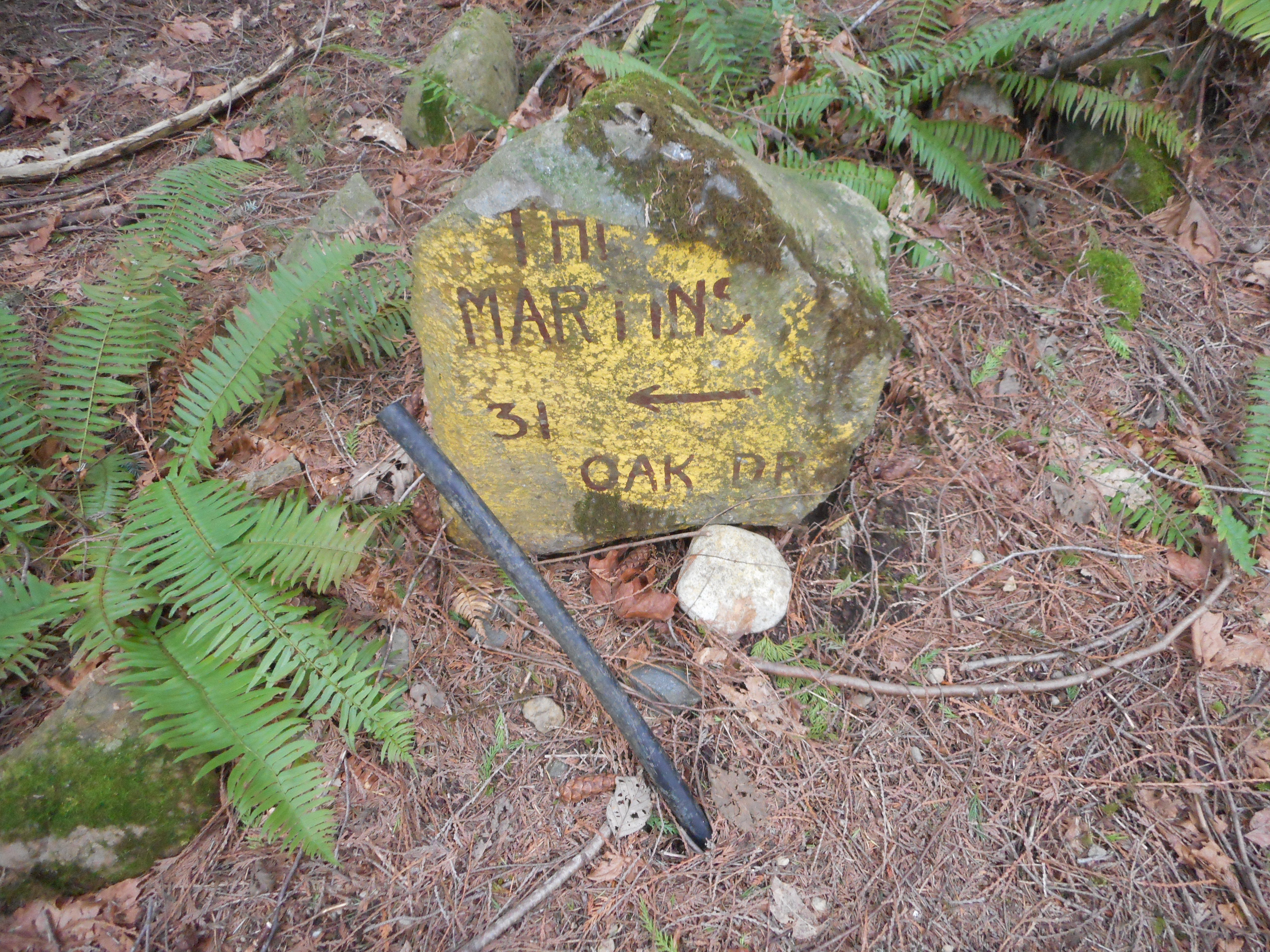
I solo-hiked on Squak Mountain – took the Margaret’s Way trail to Debbie’s View.
It is obvious that Squak used to have a number of people living there, including the locally famous Bullock heir, whose former fireplace still stands.
There are a few street signs still hanging, and the remnants of old roads. Today, I noticed a sign clearly designed to help people looking for a family called the Martins. I think I will see if there is any local history about this time – when was this? Not all that long ago, I presume.
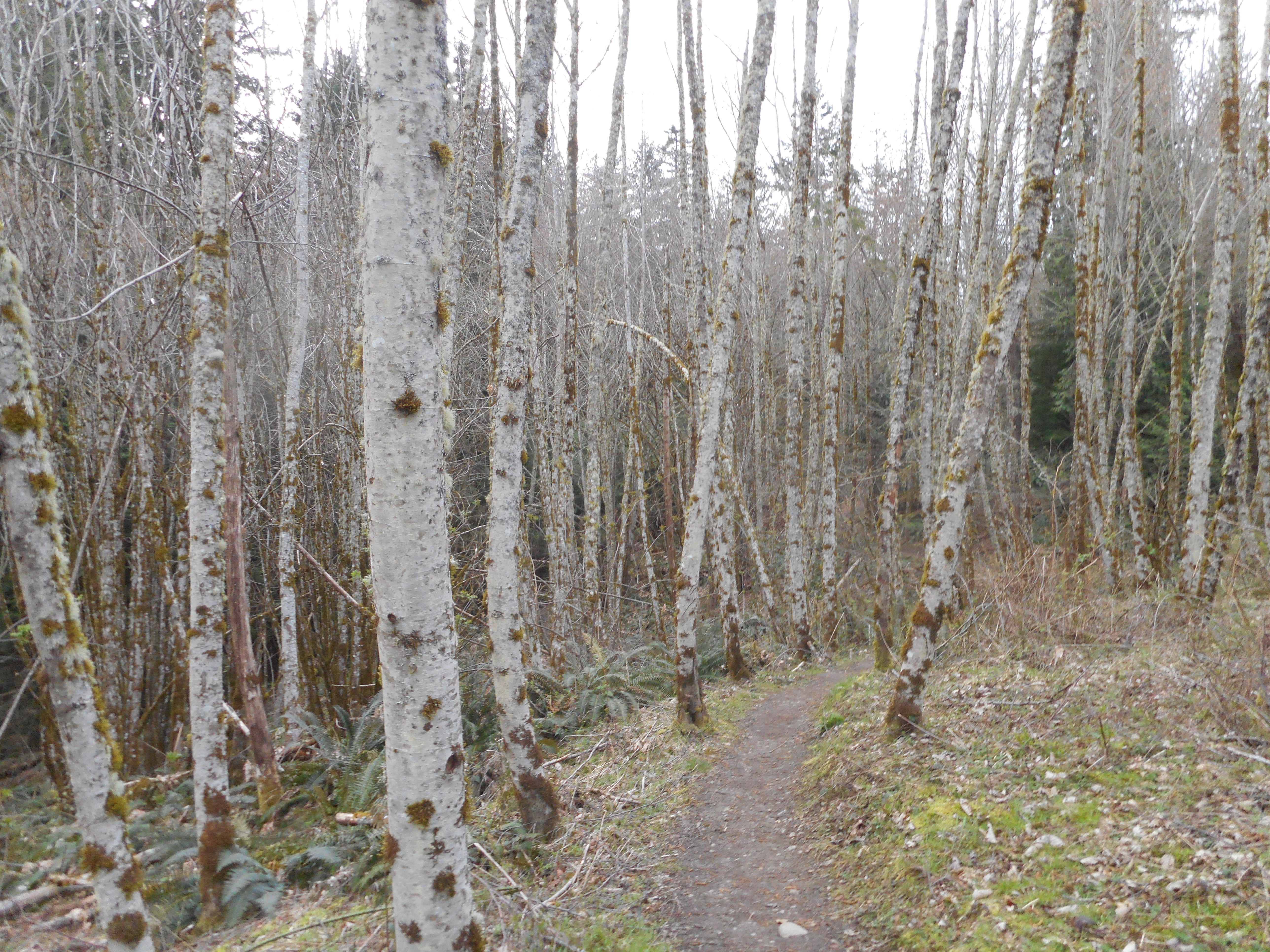
Very nice, cool day, the hike was about 6.8 miles out and back. I love the stand of birch trees about 1/3 way into the hike:
Squak Mountain Birches
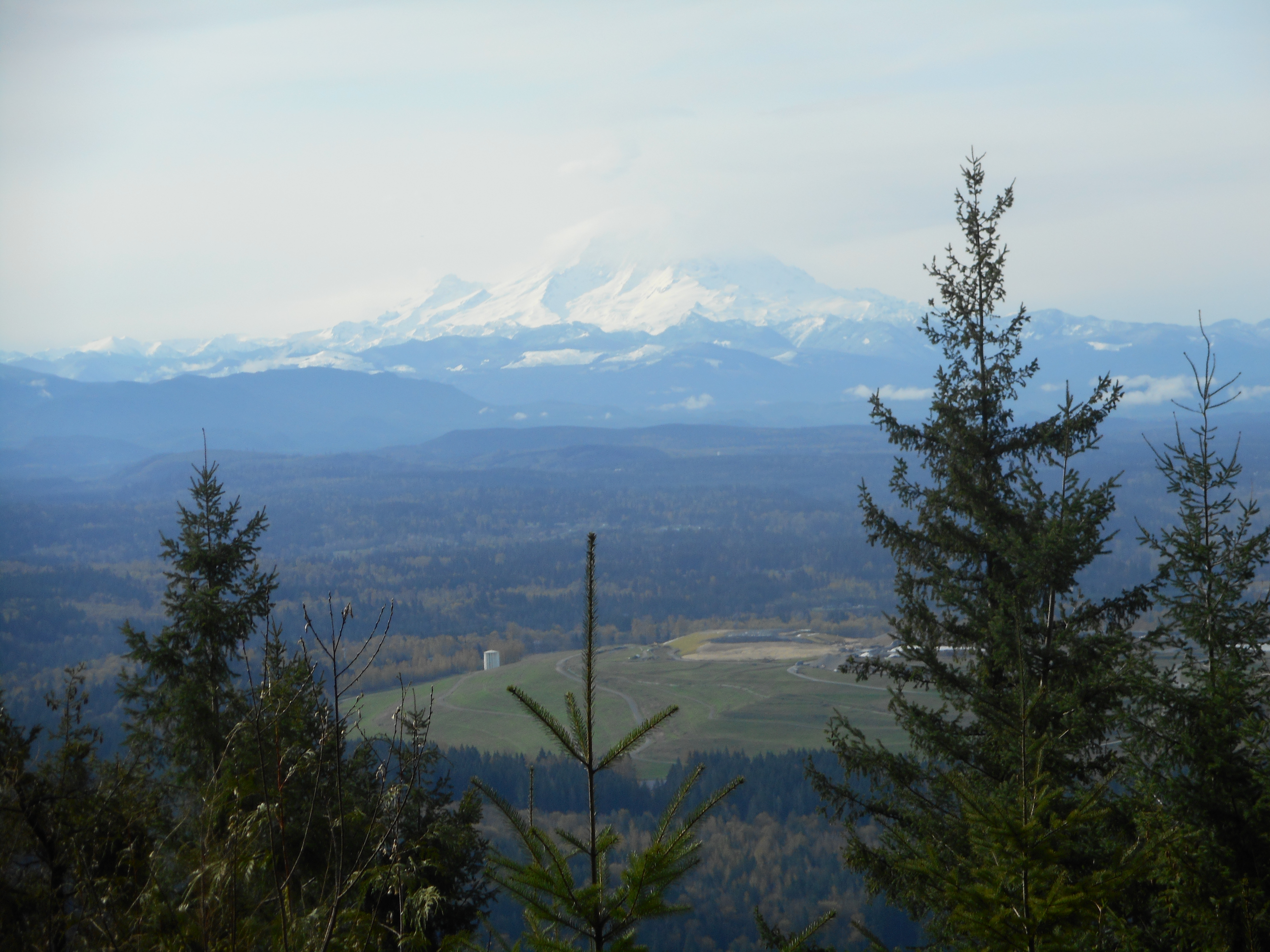
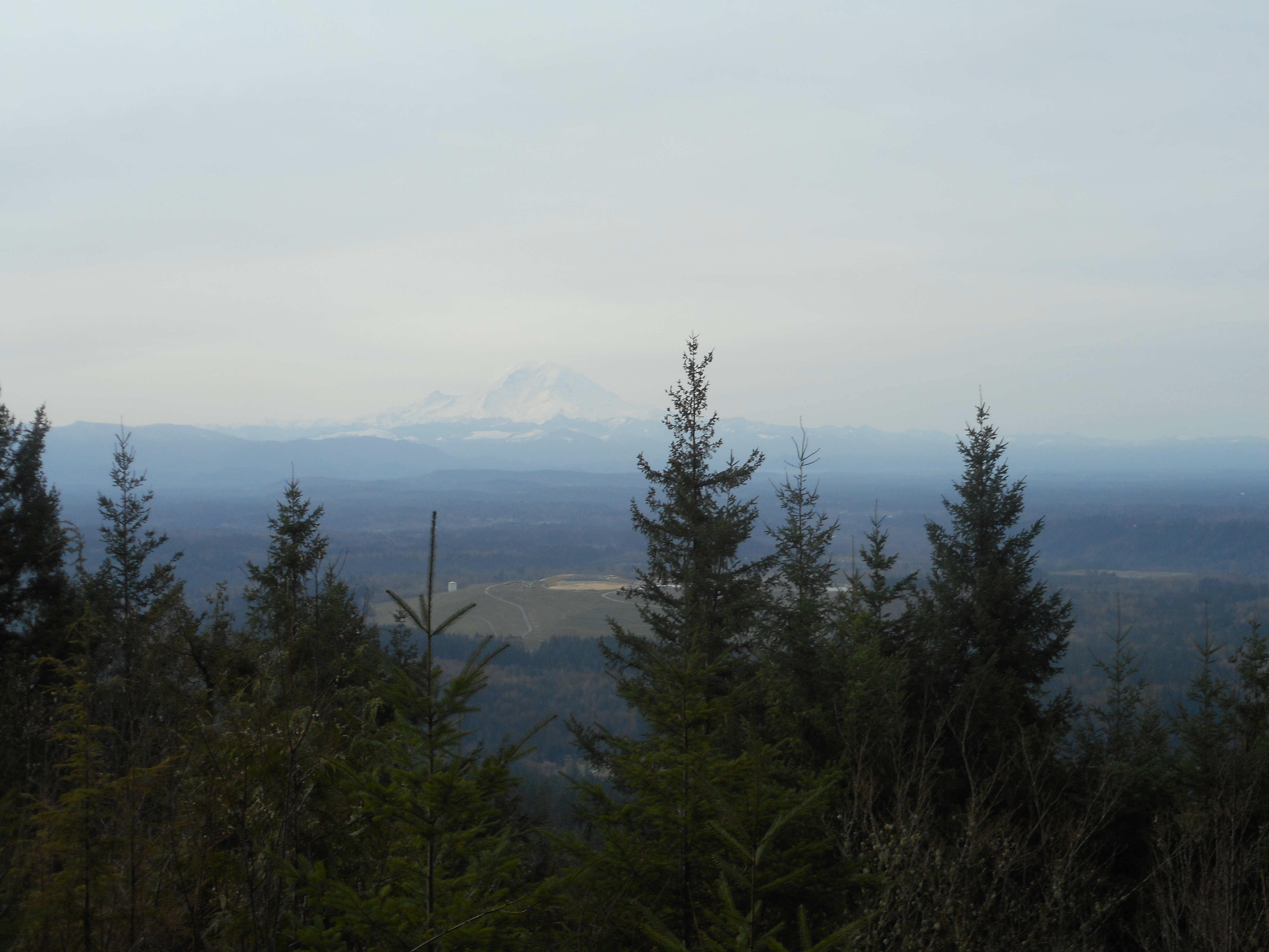
At Debbie’s View, there was a nice view of Rainier:
Mount Rainier
As of now the plan is to hike with Derek (rain forecasts) on Thursday. Should be fun.