No camera today, I forgot it, but the only views on this hike are from the ledges and there was so much fog and/or smoke the visibility was almost zero.
No track since I have done this hike a number of times and have it mapped already.
Just adding this trip report to include in my count at the end of the year.
Another solo hike, nice day, good workout but still a fail because I was unable to achieve my goal.
I wanted to continue south on the Change Creek trail, past the pond trail, around the Change Creek gorge to check out the bottom of a trail I spotted going down from the Great Wall. But the trail south of the pond trail is gone, replaced by a solid wall of bushes and small trees.
So I made a quick decision to take the pond trail and see what it looked like on the other side. I knew the new Olallie bike trail was on the other side of the ravine but I had forgotten whether or not it was steep.
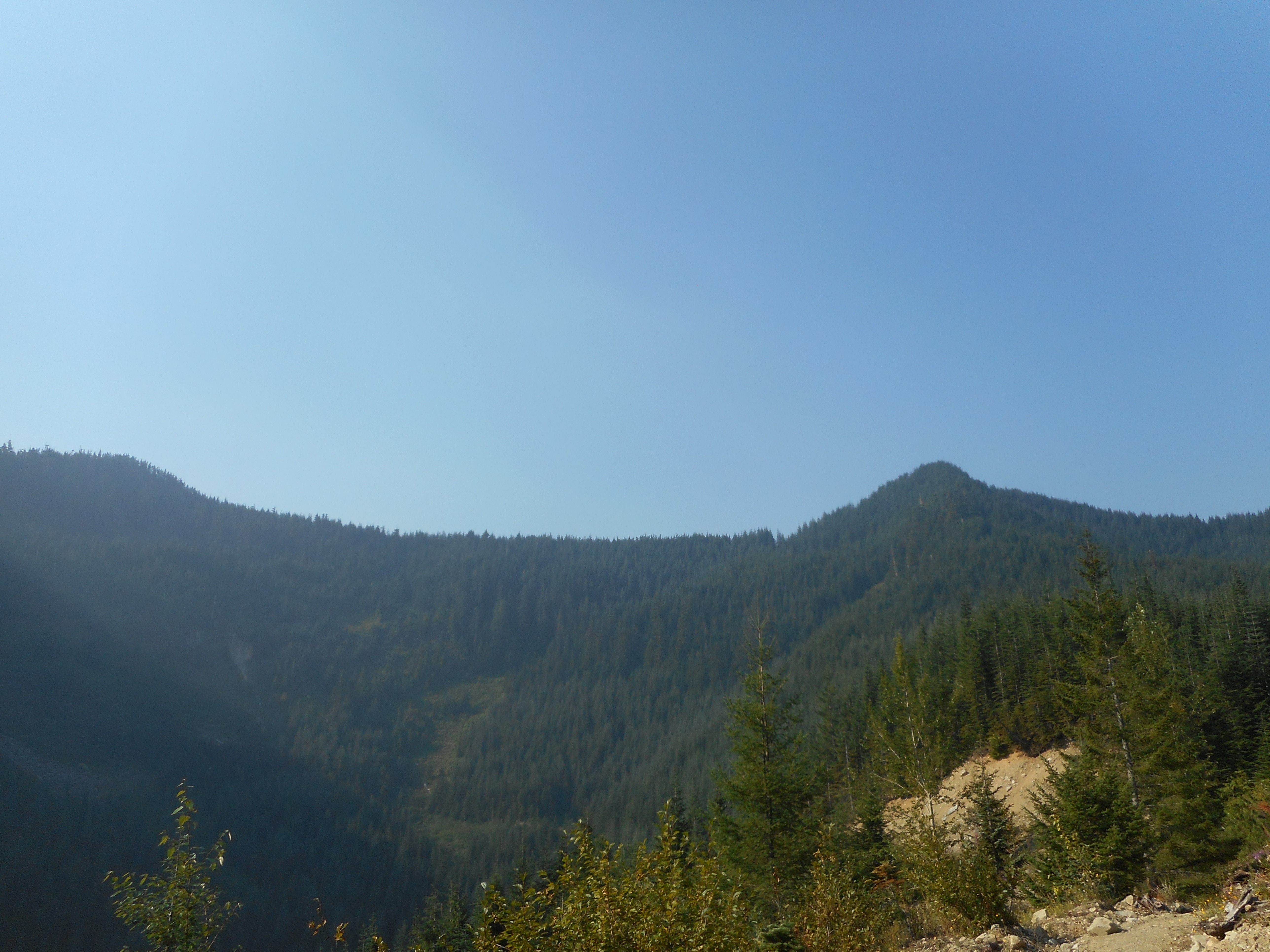
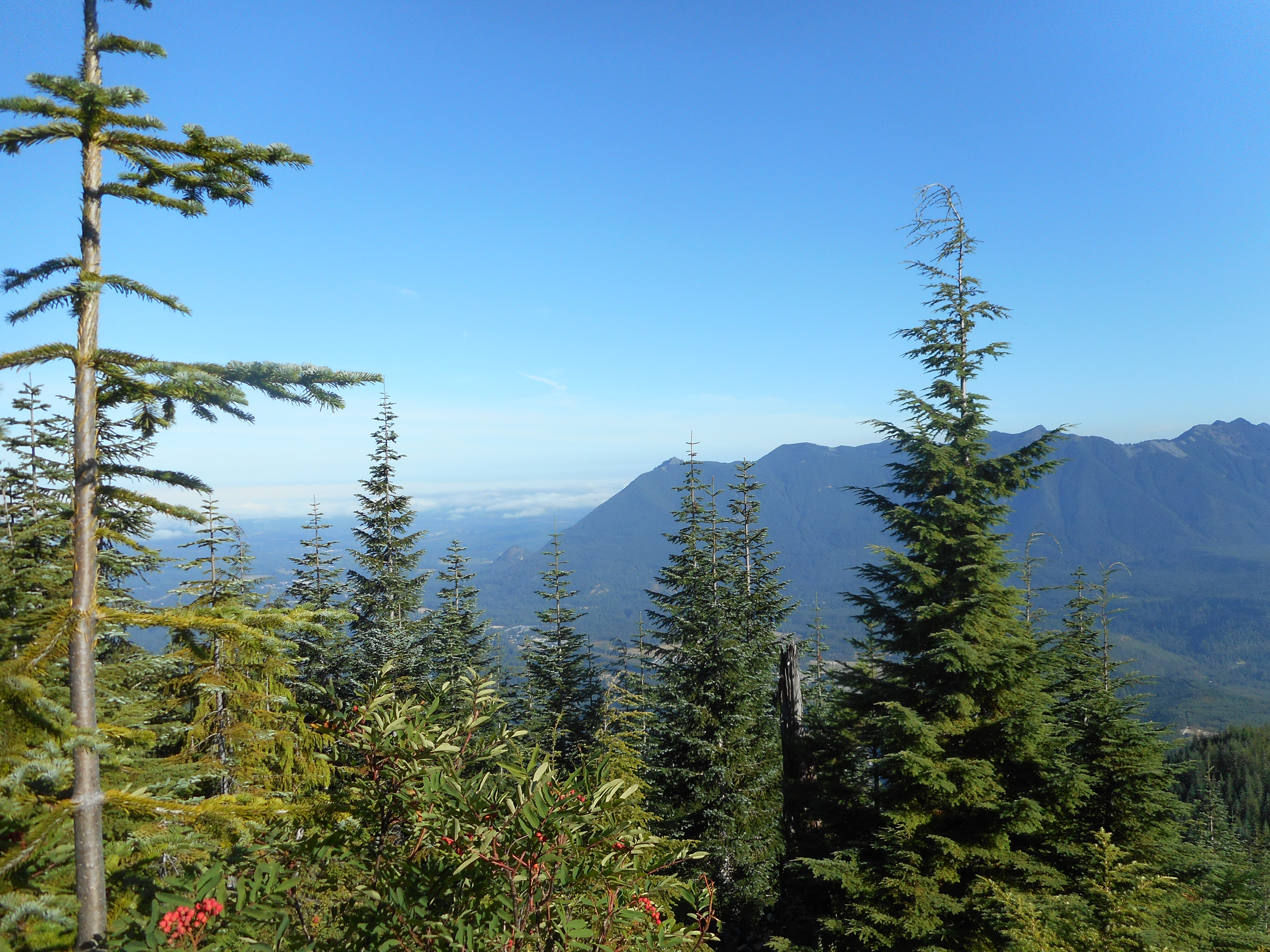
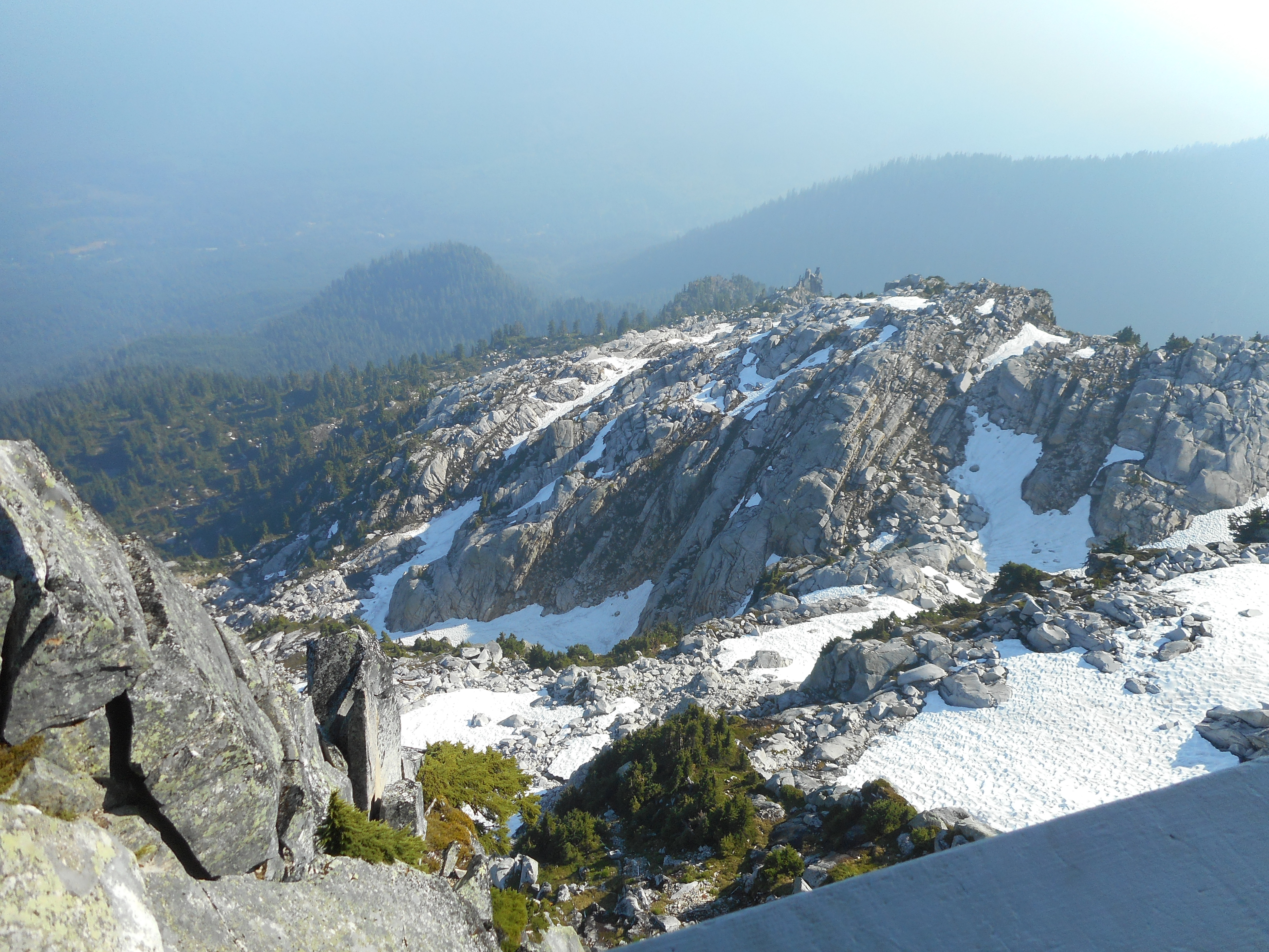
A view from the Change Creek trail:
Looking up at Change Peak
It is pretty steep, and I calculated the bottom of the trail, if it existed, would be a good 1.5 miles south, since I spotted it not all that far north of the place where the Great Wall splits, going west to Mt. Washington or south and then east to Songbird Peak and Greenway.
The temperature was climbing and I didn’t feel like adding a possibly fruitless three mile back-and-forth on a steep trail so I reluctantly turned right and headed back via the Great Wall connector trail and the Mt. Washington trail.
A perfectly nice hike, great workout, fun, but not doing what I set out to do kind of stings. So I will be going back on my first weekend chance (I am avoiding the Great Wall on weekdays) to scope out the mystery trail from the top.
Speaking of mystery trails, I have, a couple of times, noticed a steep bank just off (south) of the IHT where someone has attached a rope to a tree to help boost yourself up. Every time I have noticed this quasi-trail it has been at the very beginning of a hike and I have forgotten exactly where it is located by the time the hike was over.
But today, having parked at the 2nd Exit 38 lot but having come down via Mt. Washington main trail, I had to walk east on the IHT. I noticed the rope and here is where it is: it is on the west end of the Change creek bridge. Another little trail to investigate.
Lots of rock climbers today:
Rock Climber
At the very end of the hike, as I was about to walk underneath the Hall Creek bridge I heard what sounded like an explosion to my left, in the vicinity of Hall Creek. I was taken aback; I looked up to see several idiots on bikes tossing big rocks off the bridge. I yelled at them to let them know there were humans down there. I passed 3 people coming up and warned them.
I am not sure how to understand the thinking of people tossing rocks – big ones! – off a 150-foot high bridge onto an area where you can expect hikers to be hiking. Takes all kinds.
A nice solo hike to the summit of Mount Washington. I took the main trail up and the Great Wall down.
Turns out they are still doing some work on the trail during the week, as I was almost spied by a vehicle chugging along (I slipped a few yards down a ravine and made myself scarce before I could be seen) and near the junction of the Great Wall and Change Creek trail there was a cache of equipment.
So I guess I will stay off the Great Wall during the week until they officially re-open it.
I saw exactly two other hikers, both when I joined back up with the main trail on the way down. Truly, mid-week hiking is the way to go.
I did a solo hike today, up Zig Zag Trail and down the service road that intersects IHT at Garcia, then west on IHT back to Hall Creek Connector.
Just over 7 miles, just under 4 hours, a nice workout on a great day.
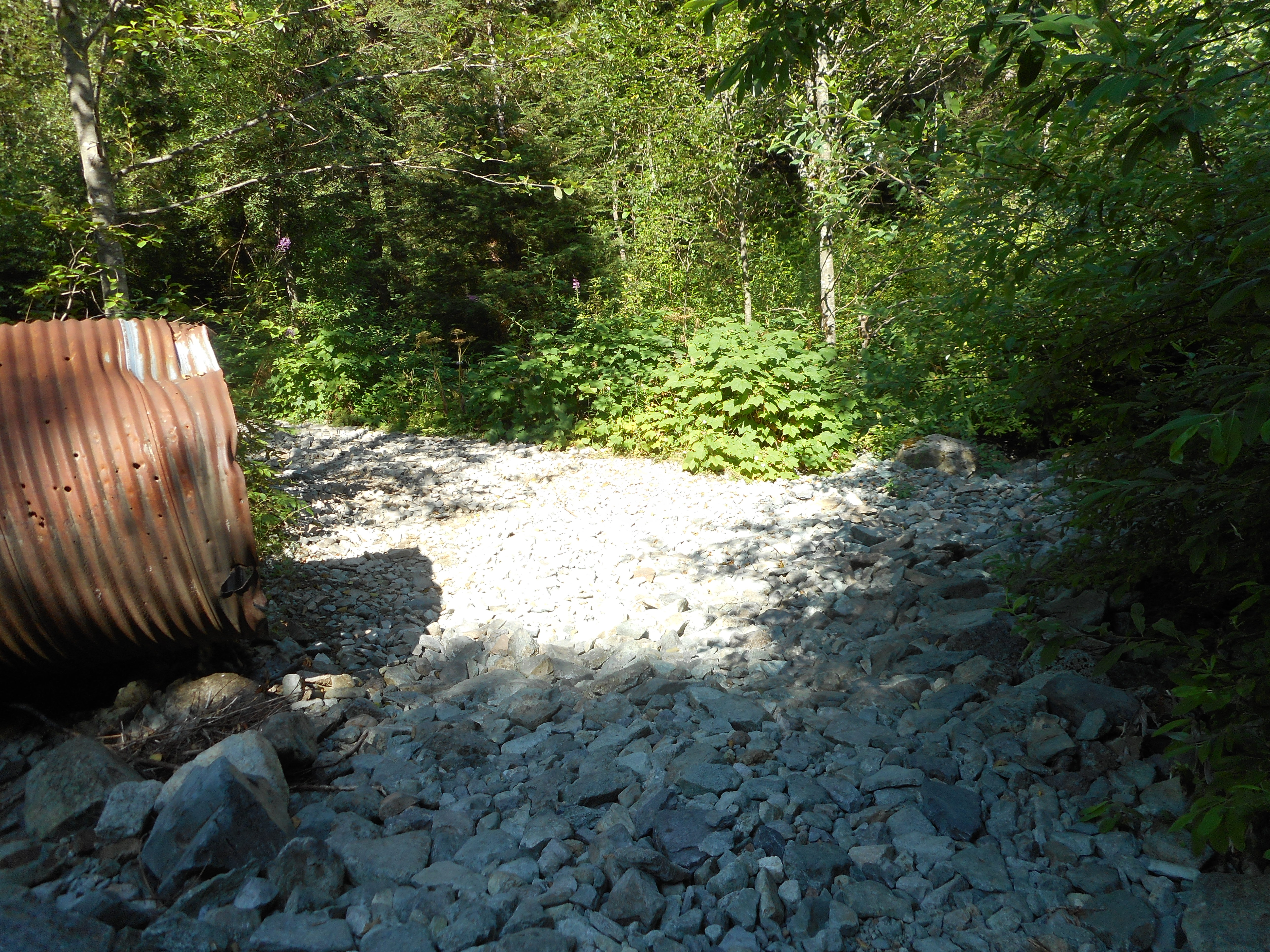
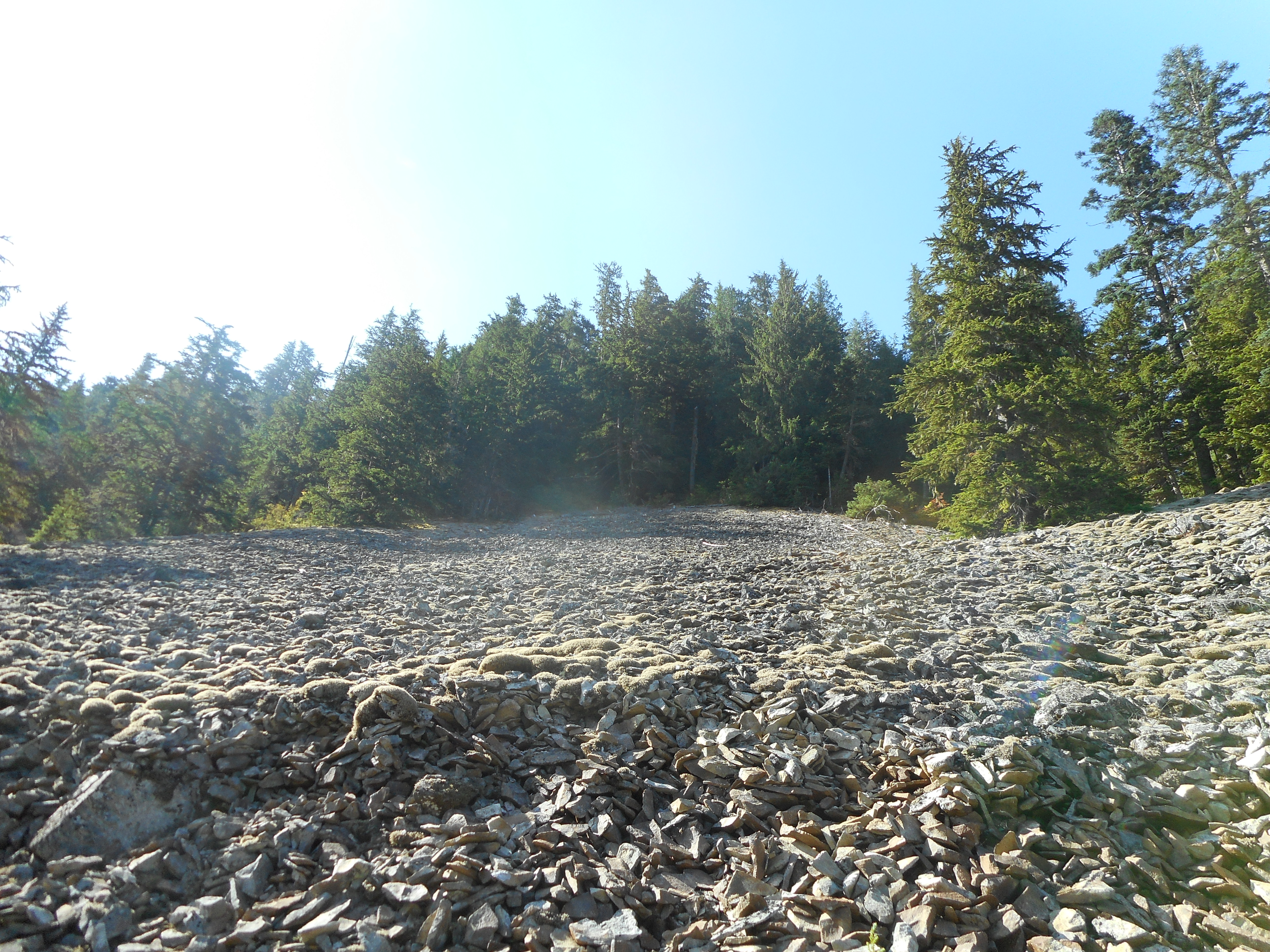
I went over the bone dry Mine Creek, where a few months ago the water was so high I was worried I might get swept away when I crossed it.
Dry as a Bone
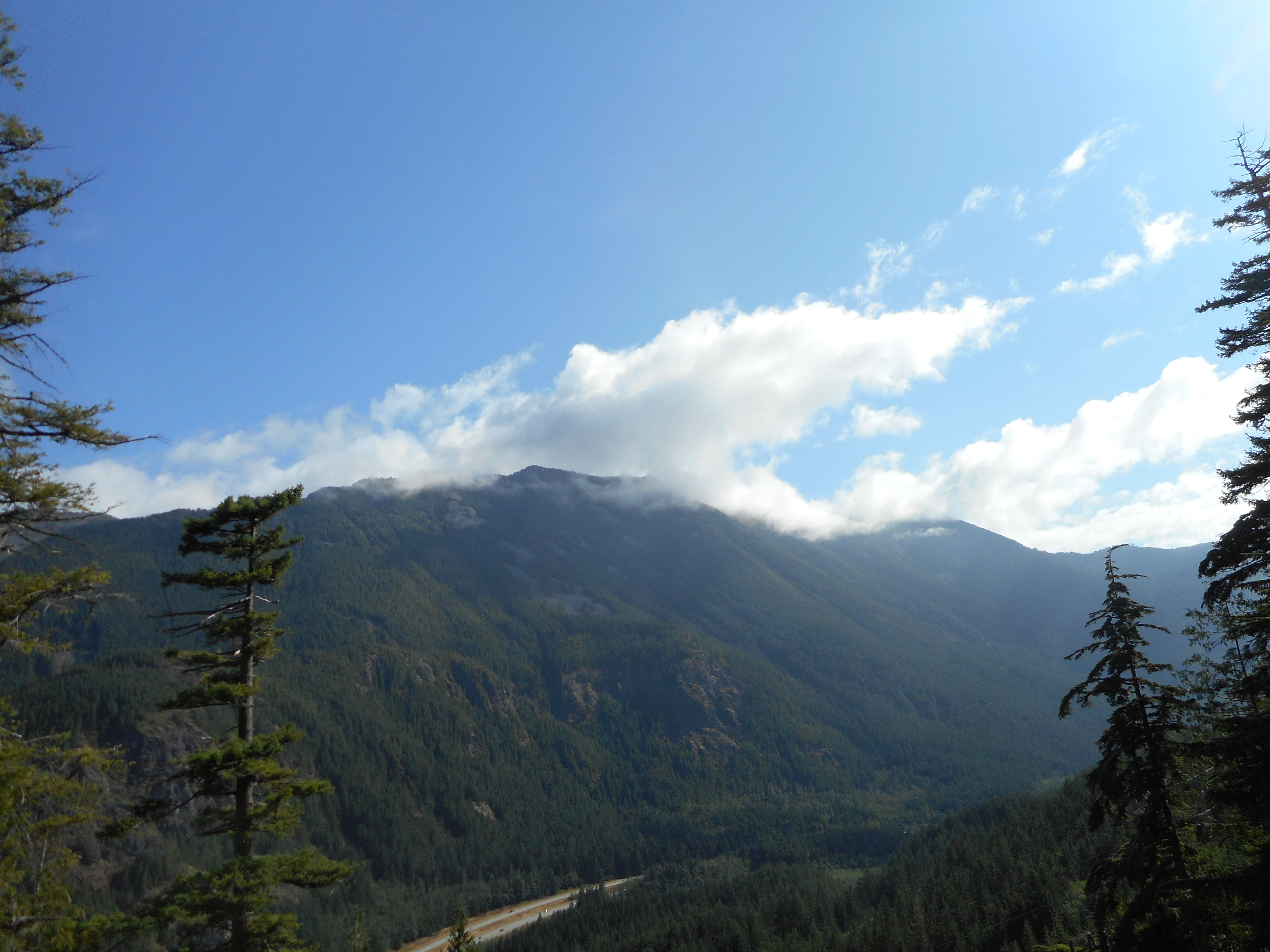
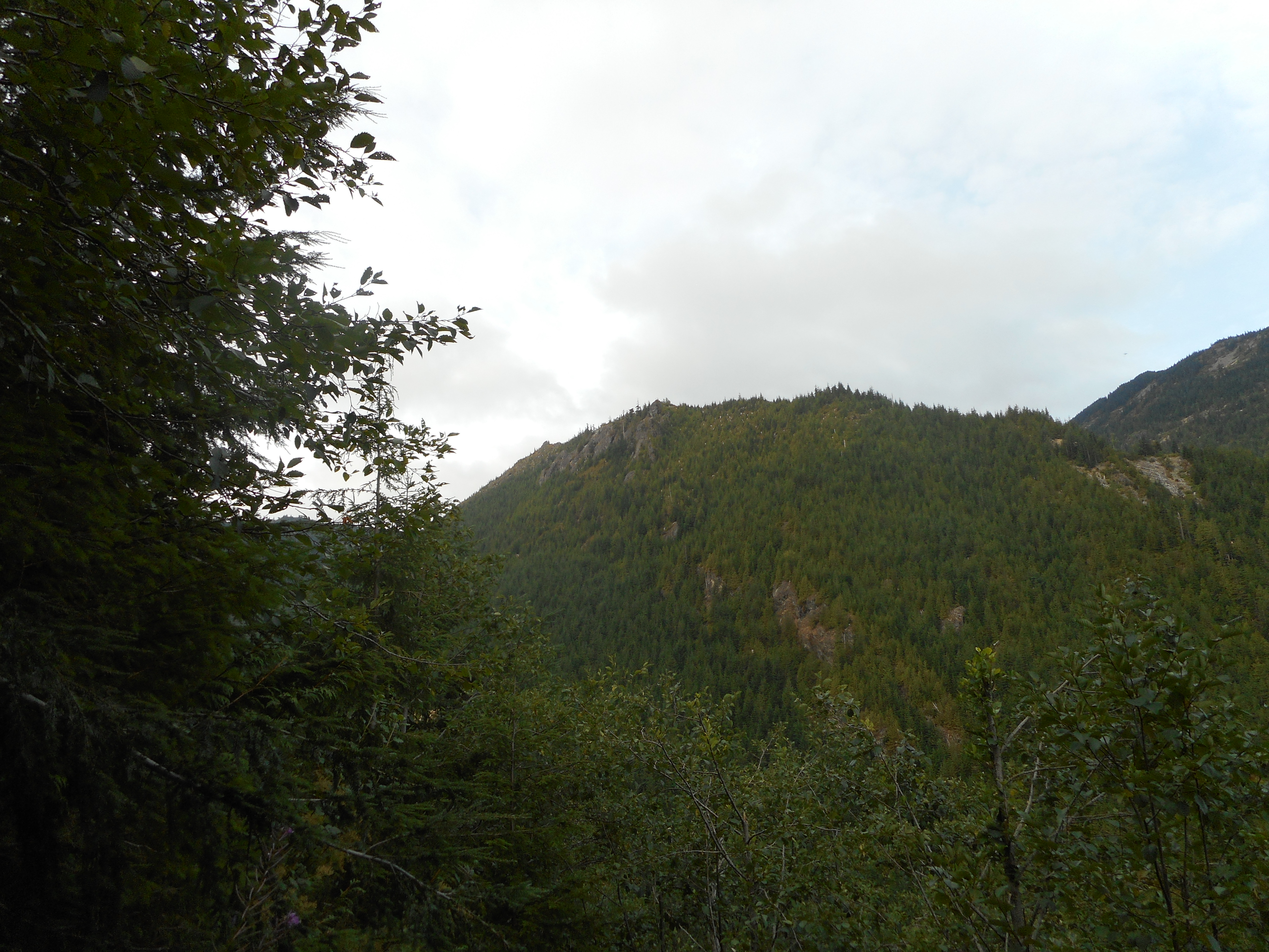
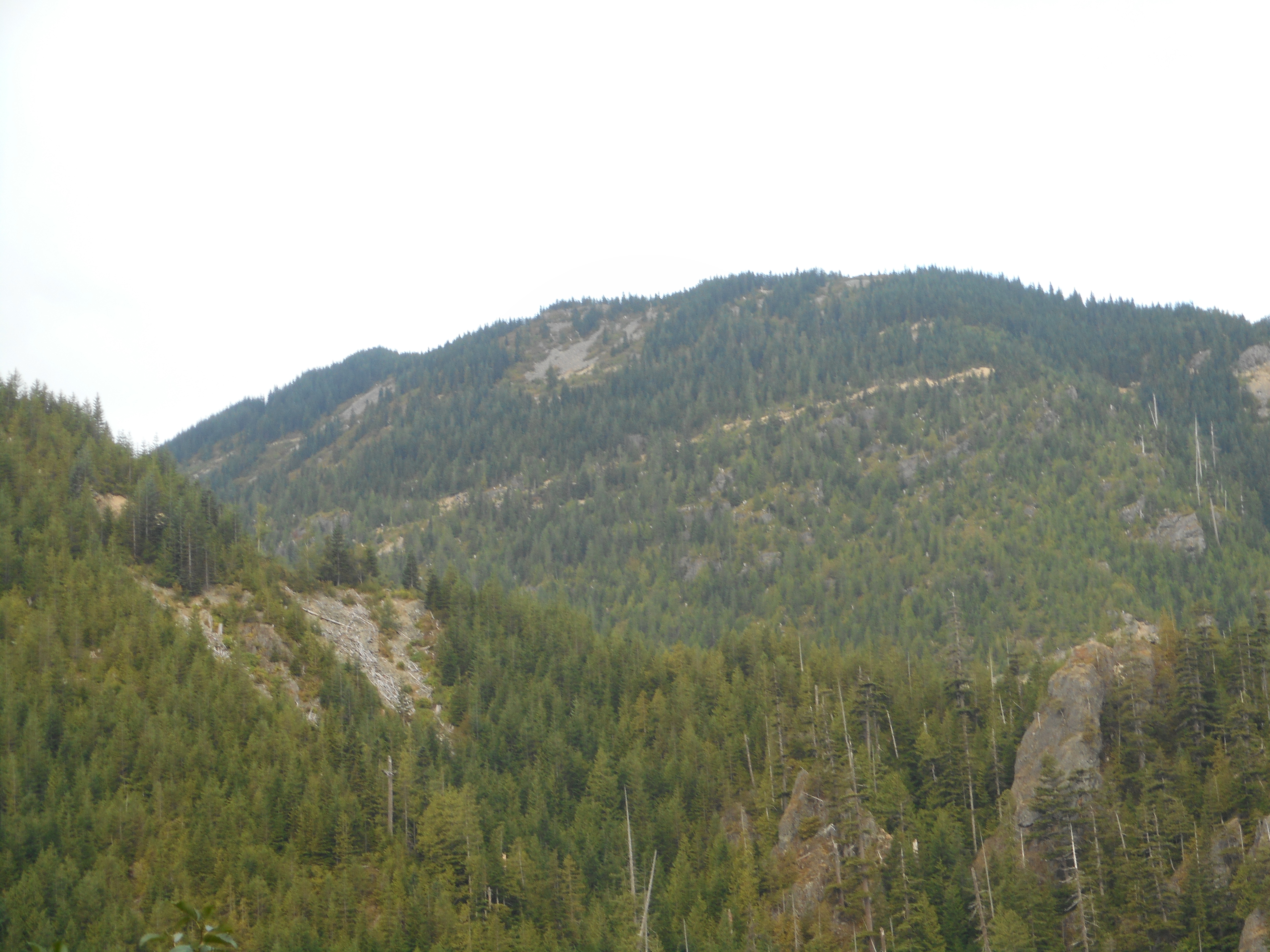
And there is a section I would completely avoid in the winter, the avalanche danger would be extreme but again, right now just a very steep talus field.
Avalanche Country in Summer
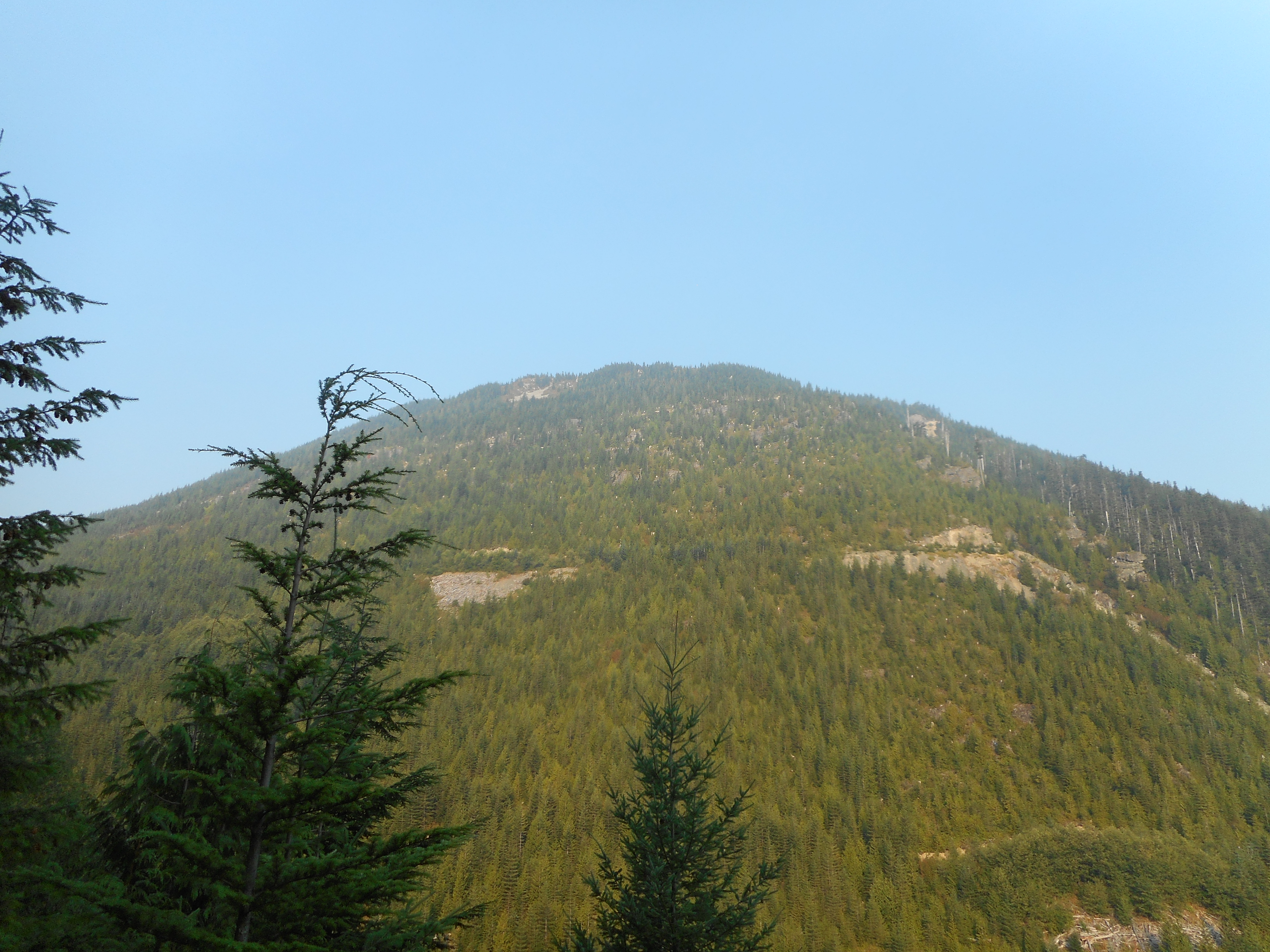
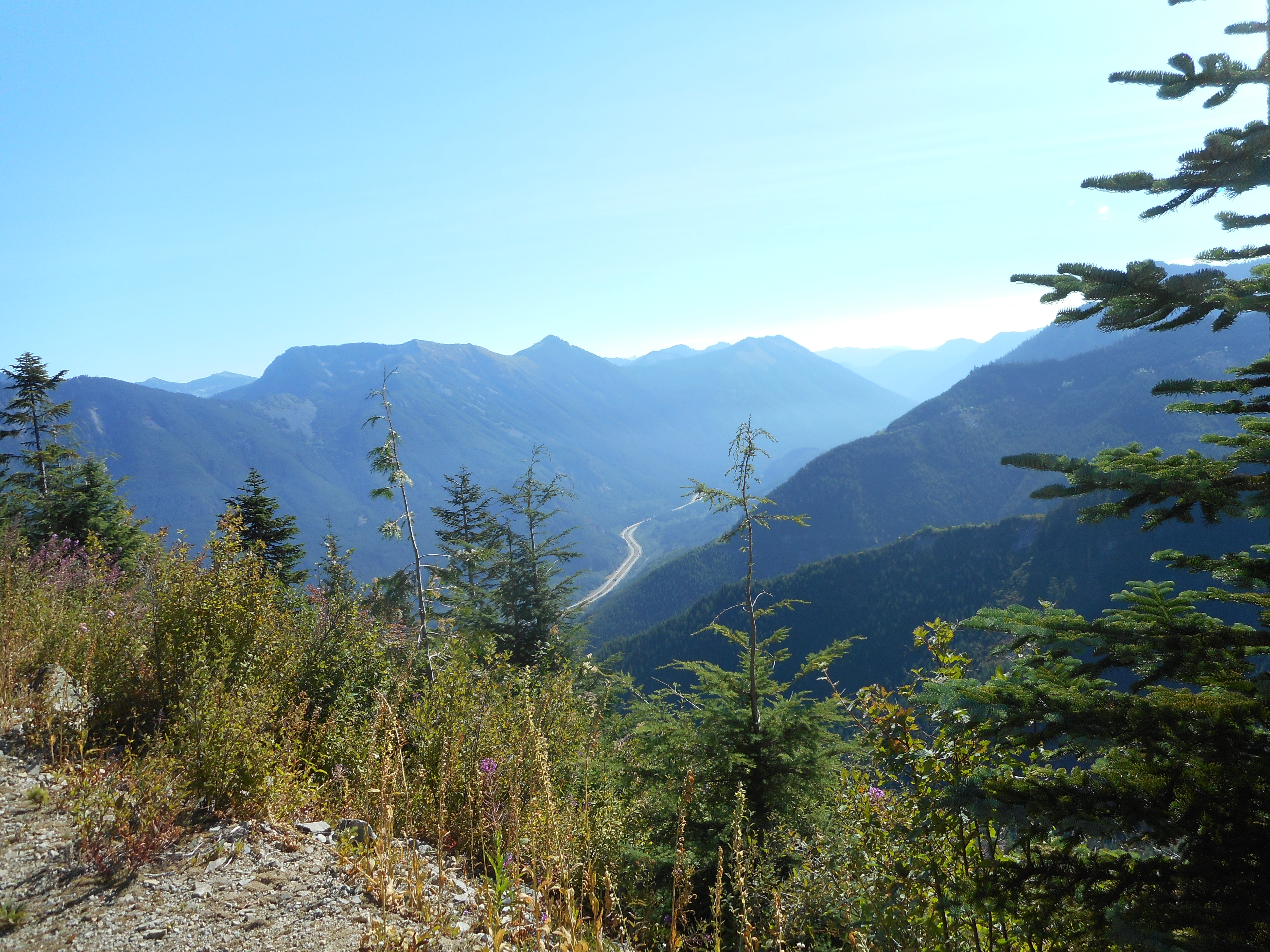
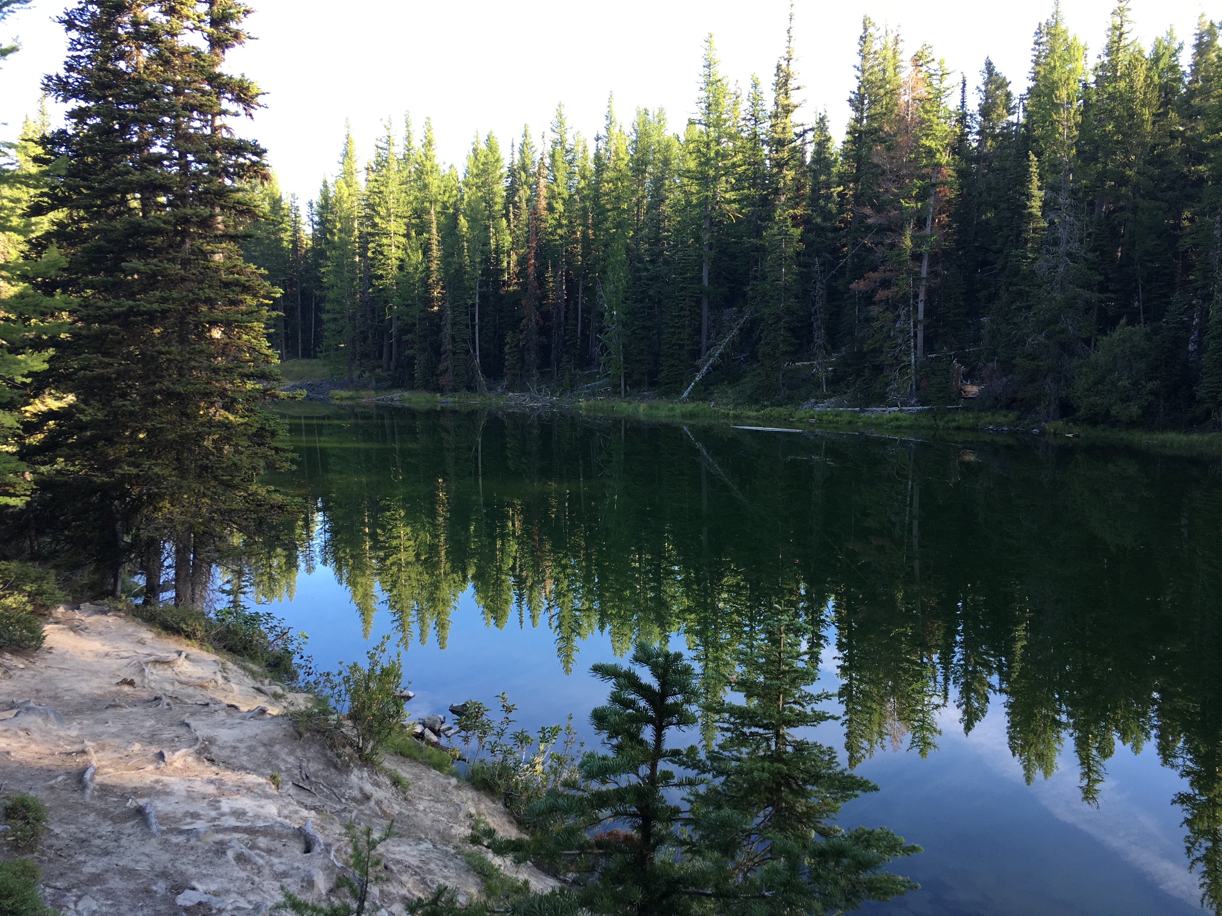
I like being able to look at hiking landmarks from other perspectives.
J’s Landing and Hall PointGreat Wall and Change Peak
Musical weekend – ‘Madama Butterfly’ last night, Tom Petty tonight.
Our whole crew was spending a few days at Lincoln Rock, a wonderful state park/campsite near Wenatchee, in central Washington. The park is on the Columbia River, just upstream from the Rocky Reach dam. The dam has created a nice lake on which we have been known to swim and kayak. (no kayaks this time, weren’t able to haul them on top of Jill’s car)
We had no plans to hike so neither Derek nor I were quite prepared. In particular we did not have our hiking boots, which, as it turns out, would have come in very handy. But Derek looked up a hike called Devil’s Spur and we headed for that.
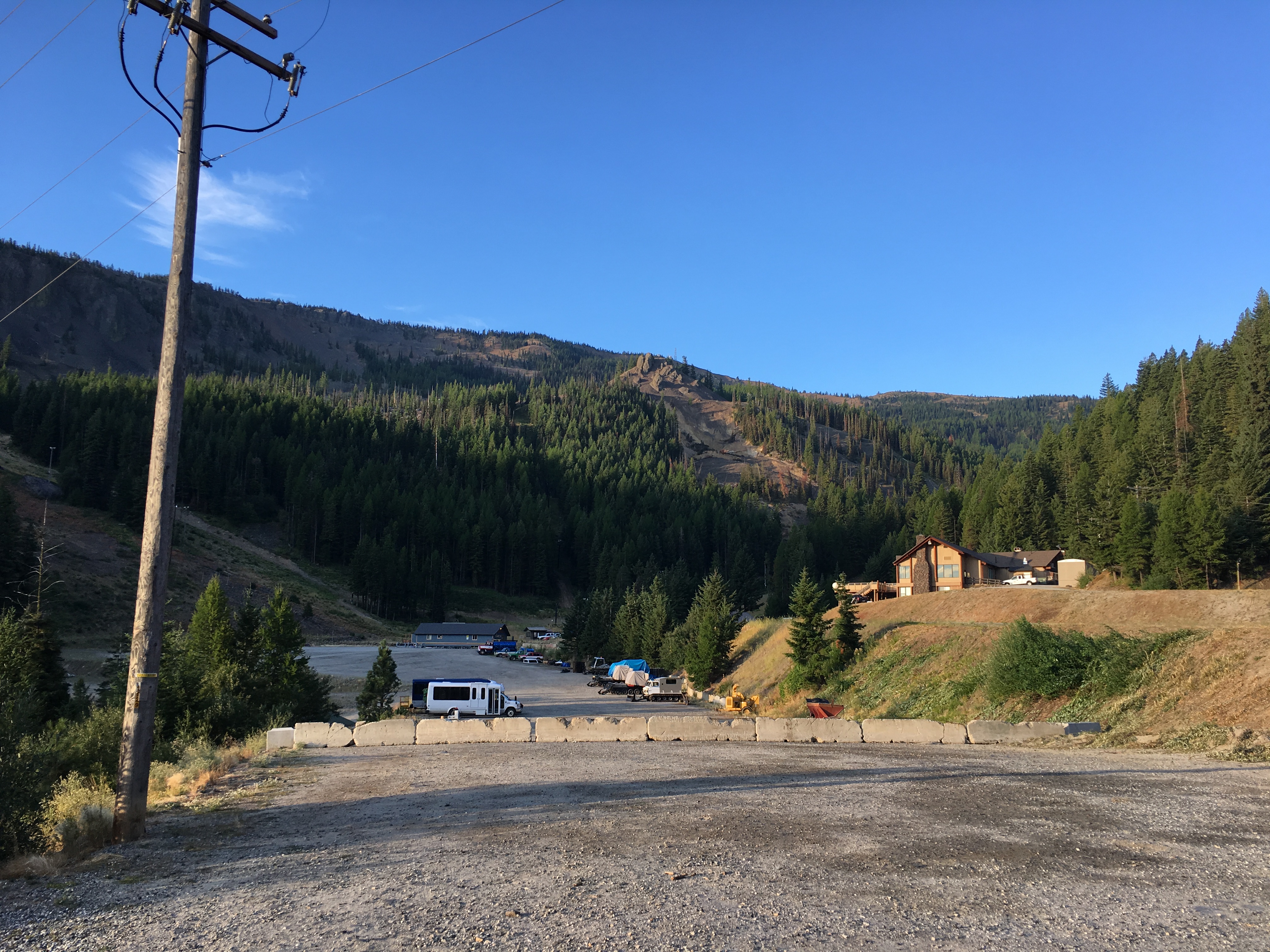
Turns out we were not real close to that trail but we did park next to the trail for Marion and Clara Lakes. We parked next door to the Mission Ridge ski lodge and headed up the trail.
Mission Ridge Ski Resort
We went a bit farther than the official trail and Derek’s phone app said we did 5.2 miles and it was about a thousand feet of elevation gain – not a huge effort but it was fun.
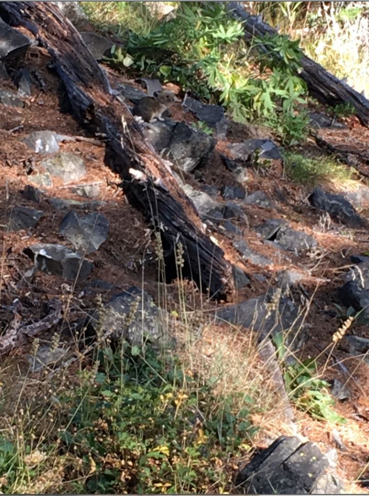
The trail head is at about 4,400 feet and we got up to about 5,400 feet which means we were in Marmot territory. We saw a few of those cute little furry creatures, along with chipmunks and some other sort of rabbit-like critter. Plenty of birds and flowers and the forest is beautiful.
Critter (look closely)
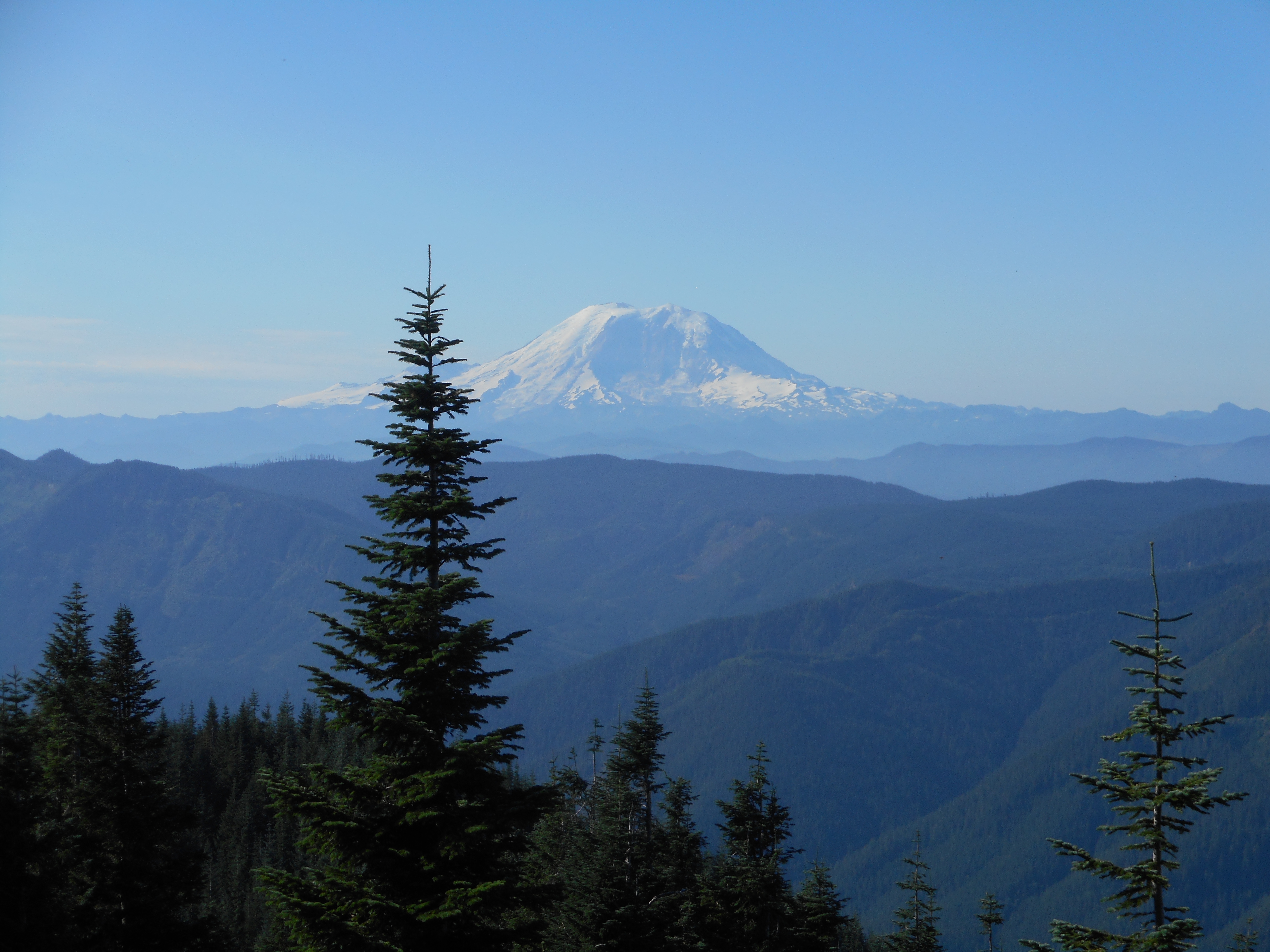
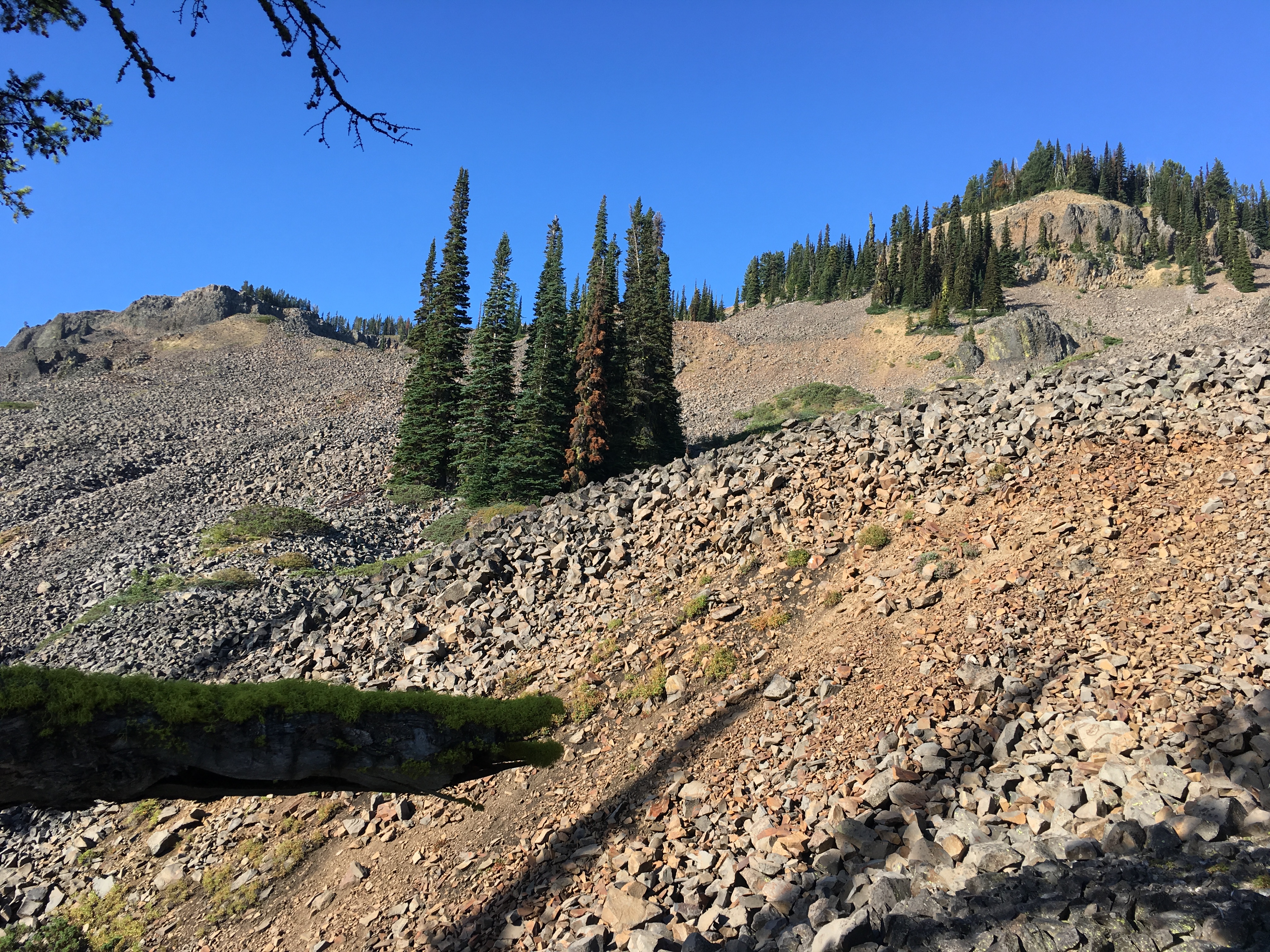
Scree Field with Inviting Summits
This is a snowshoe trail in the winter and we talked about maybe coming back some time with the snow shoes and giving it a try. Plus, a half mile or so past the end of the trail we encountered the basalt talus and we were eyeing it for a potential adventure to the summit of the two peaks in that area.
This is where the hiking boots would have been nice since they would have offered protection against the scree. I decided to stop at the beginning of the scree field to save my shoes and feet from a beating.
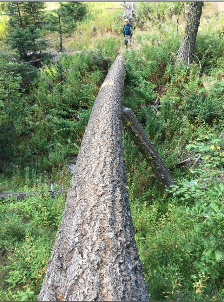
Derek took a bunch of photos on his phone and when he gets a chance to send them I will update this post with those.
Derek Crossed this LogMeadowLake View Peeking thru Trail
A fun hike on a beautiful day. I highly recommend this to anyone in the Wenatchee area looking for a moderate hike or healthy snow shoe.
No track and no pictures from last night. I met Derek and his brother Ryan and their friend Tommy last night when Derek got off work, after 9PM, and we drove to the Exit 38 picnic area parking lot to hike up to our view point on Hall Point.
Too dark for pictures, I didn’t record the track since I have done so many times.
Just wanted to note the event. The viewing was sub-par due to all of the smoke in the air (our area has been under assault from the BC forest fires, the air quality and visibility has been terrible for a couple of weeks) but we all saw at least a few meteors.
But meteors or not, just hiking with these guys, and the awesome music they brought along, in the dark, was more fun than you might think (not everyone, it is true, likes to hike along steep trails in the woods to the light of headlamps) but really, we had a terrific time.
We will head out again next year and hope for better viewing conditions.
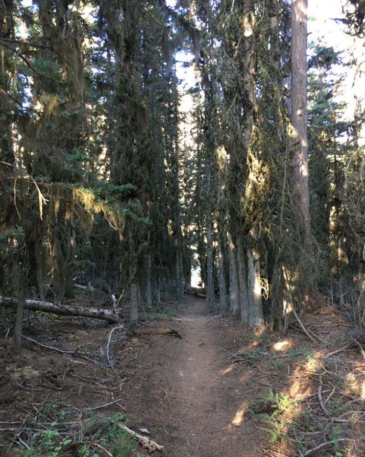
Carl and George and I joined about twenty other tourists yesterday for the Cedar River Watershed Education Center’s Old Growth forest tour.
I did this last year with its guide and guru Clay Antiou and I loved it and wanted to do it again this year. I talked it up and Carl and George were interested and they loved it as well. Every one of the CRWEC tours I have taken has been great and yesterday was no exception.
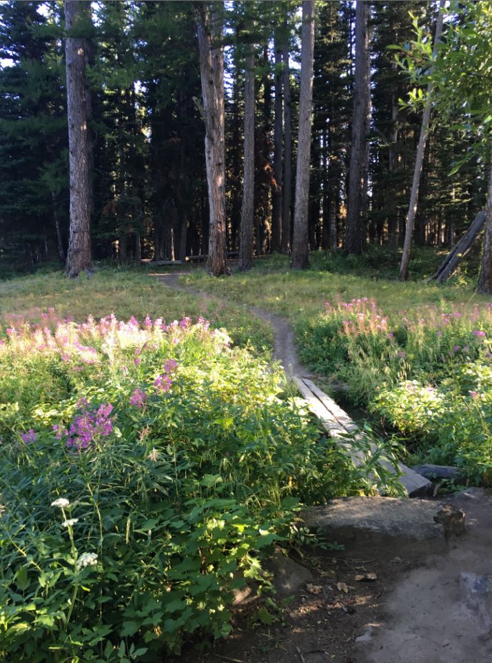
We visited a second growth stand – a stop that included a great viewpoint – and Clay told us what distinguishes second growth from old growth in great detail. It is the ‘great detail’ that makes these tours so educational and fun.
We then stopped at the Lost Creek Old Growth stand and it is awe-inspiring:
In the Lost Creek Old Growth Stand
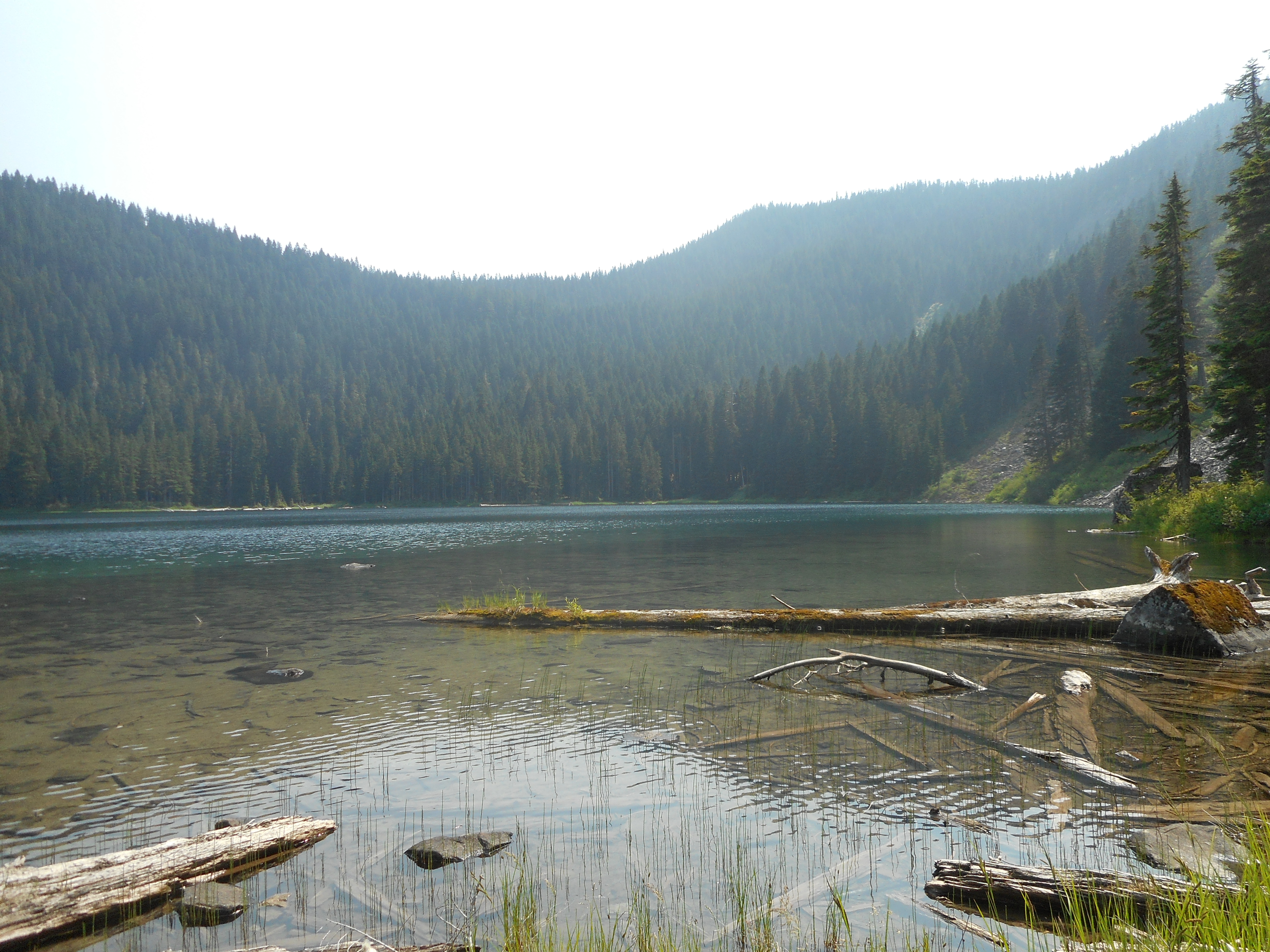
There were plenty of sights along the way – we bumped along in a couple of big vans – and wound up in the vicinity of Findley Lake. This area used to be the site of a University of Washington research facility, finally closed down around 1989 due to lack of funds. Too bad, it would have been good for science to continue the work.
Wish We Could Give This a Try
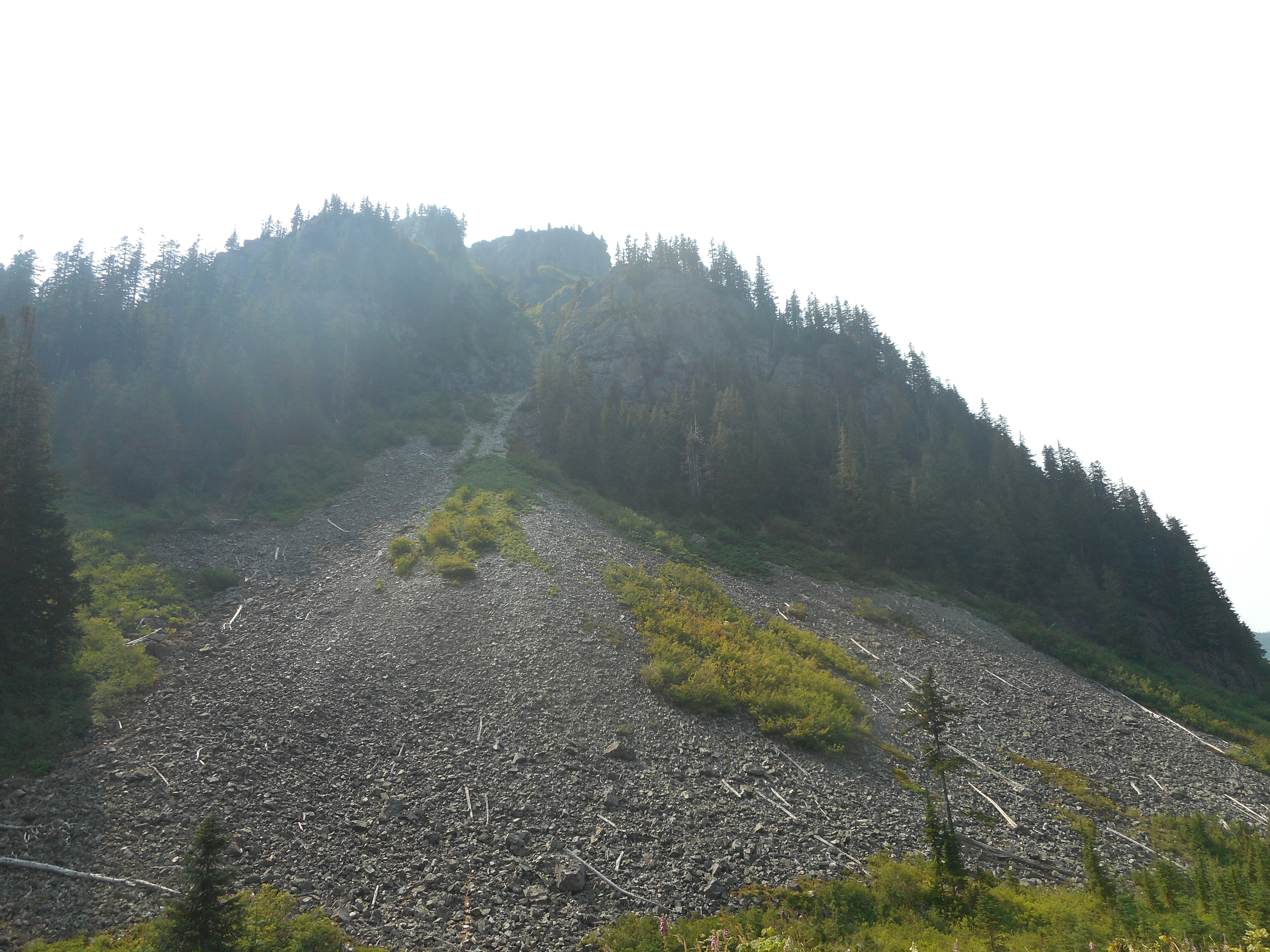
There was a great-looking climb just across from where we parked the vans for the hike up to Findley Lake. Looks like it would be fun to give it a try, but it is in the watershed and therefore off limits.
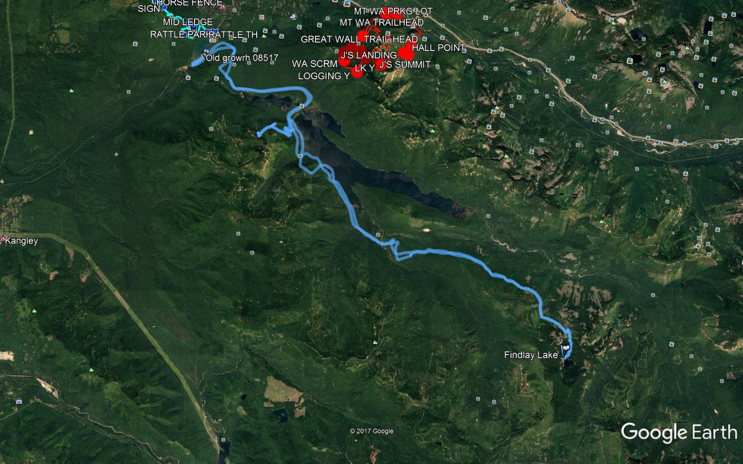
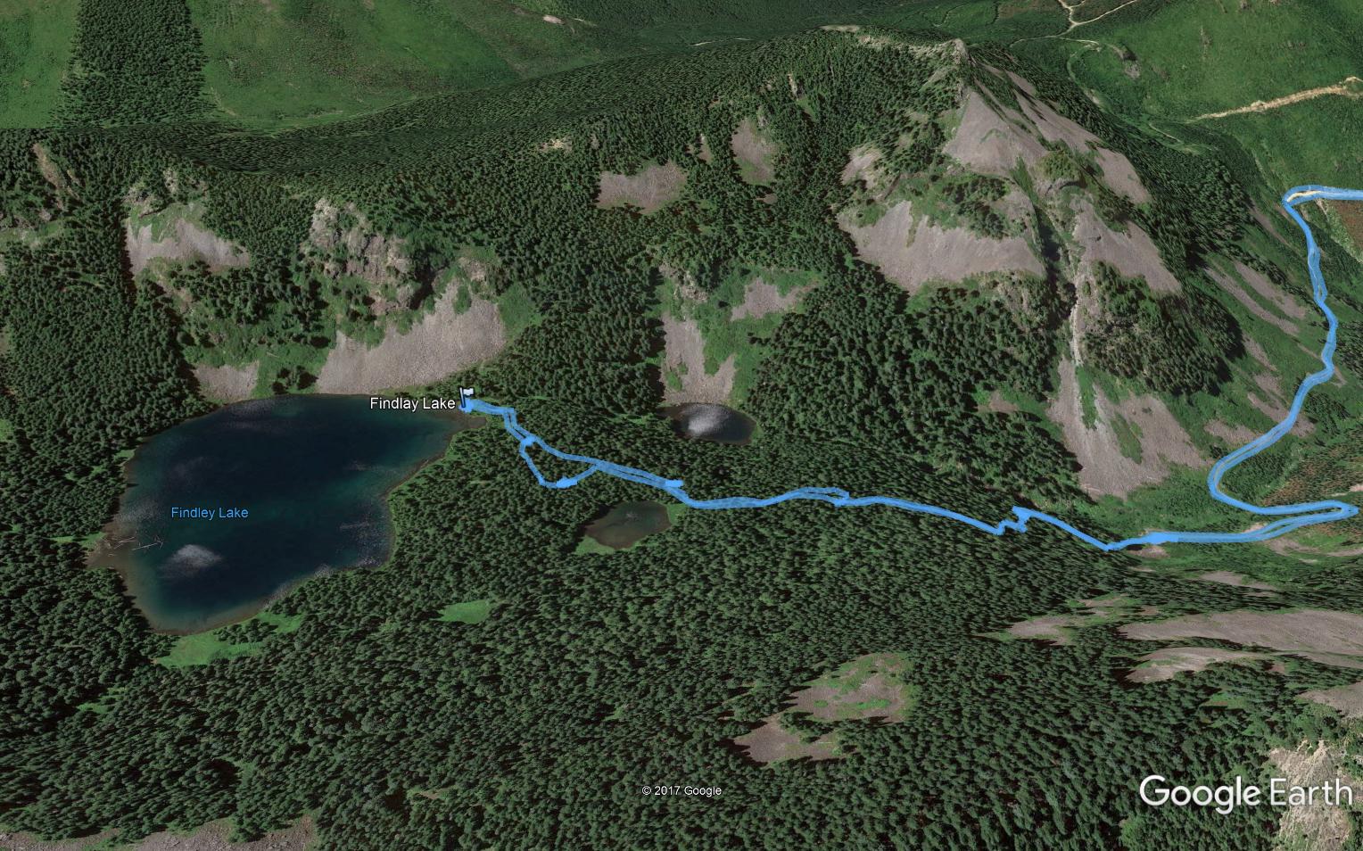
I took the Garmin along so we could see where we went. Here is the track:
And here are screen shots from what our track looks like on Google Earth. The top image is a longer shot of our entire route, the bottom image is a close-up of Findley Lake and the peak in the photo above. Impressive, what nature can do.
The TourFindley and Friend
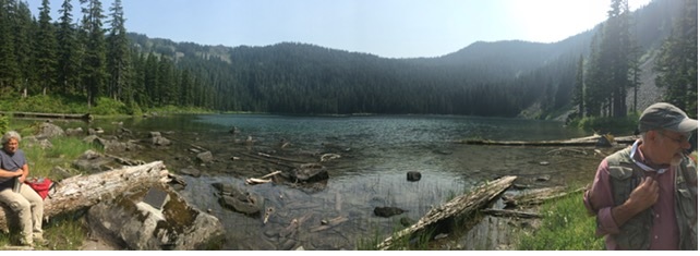
Update: George del Campo sent a nice panorama of Findley Lake:
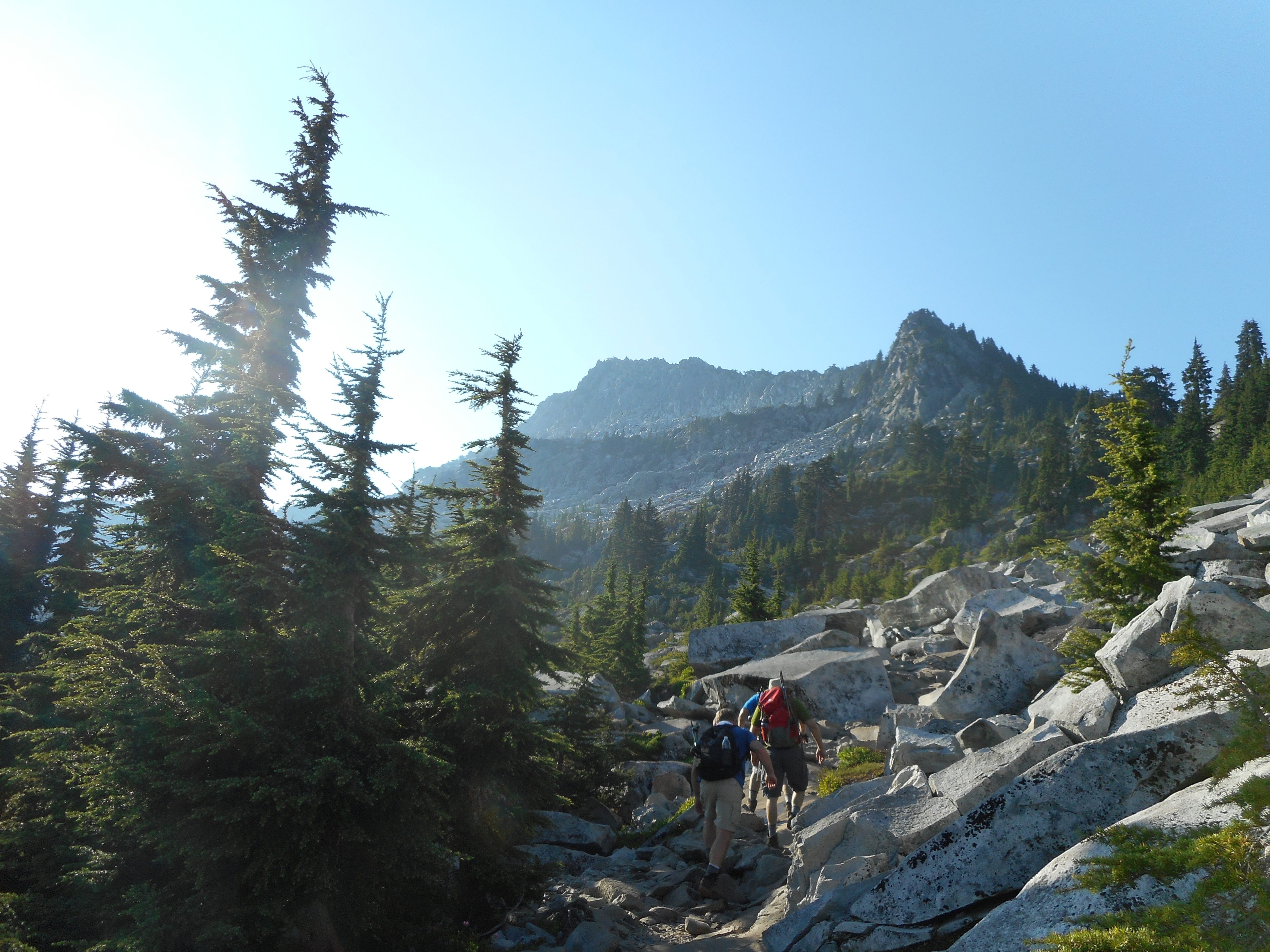
Great hike today with Ken, Carl and Mike, who is back from his post-retirement vacation to Iceland, Spain and New York City. He was up for a hike and we weren’t disappointed today.
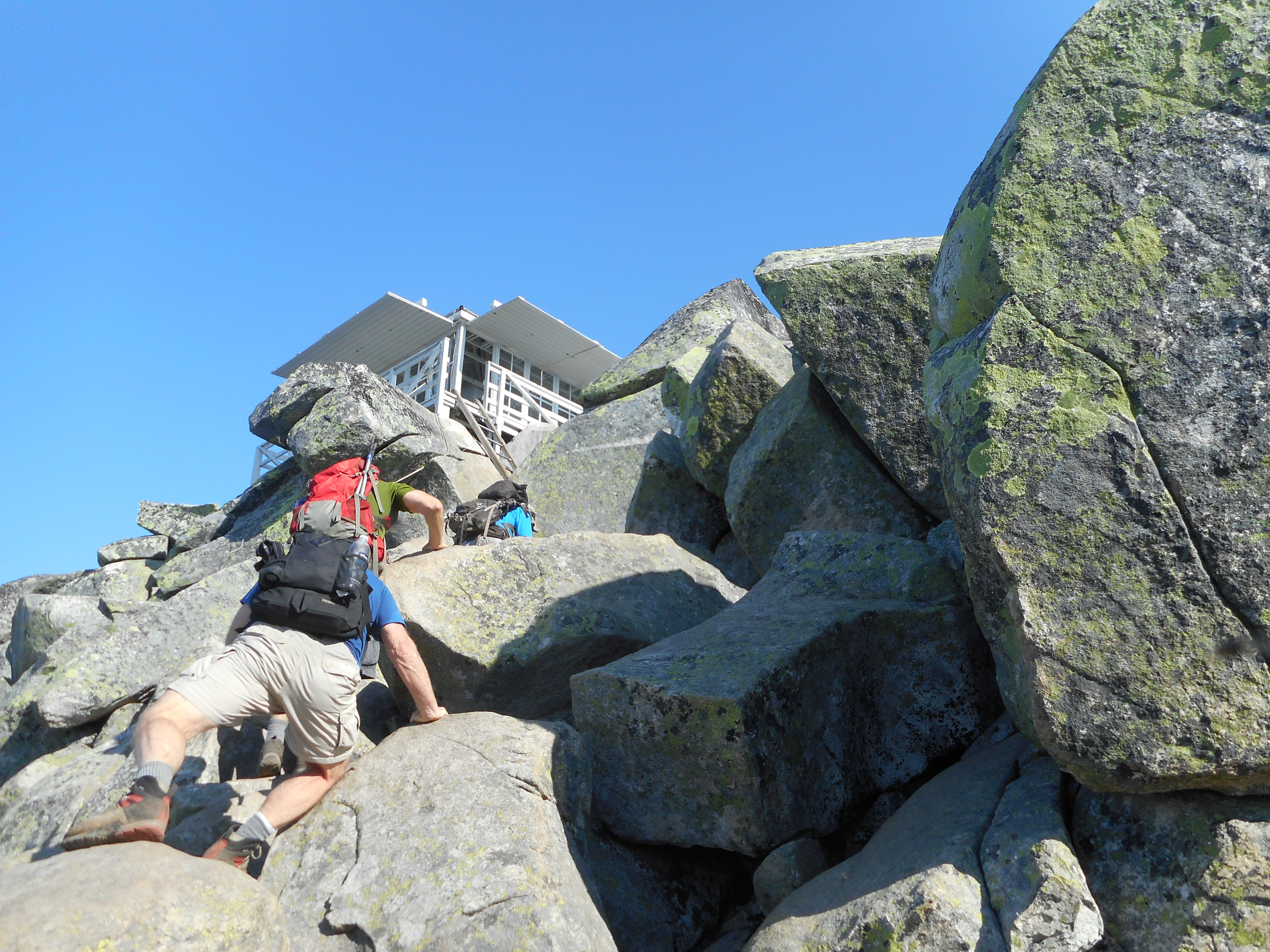
The stats for Mount Pilchuck – about 2,100 feet of elevation gain and a bit less than six miles – sounds like something in the winter on Tiger Mountain. But this is not Tiger Mountain, this is a boulder-fest. Check out the scramble at the end:
The Final Scramble
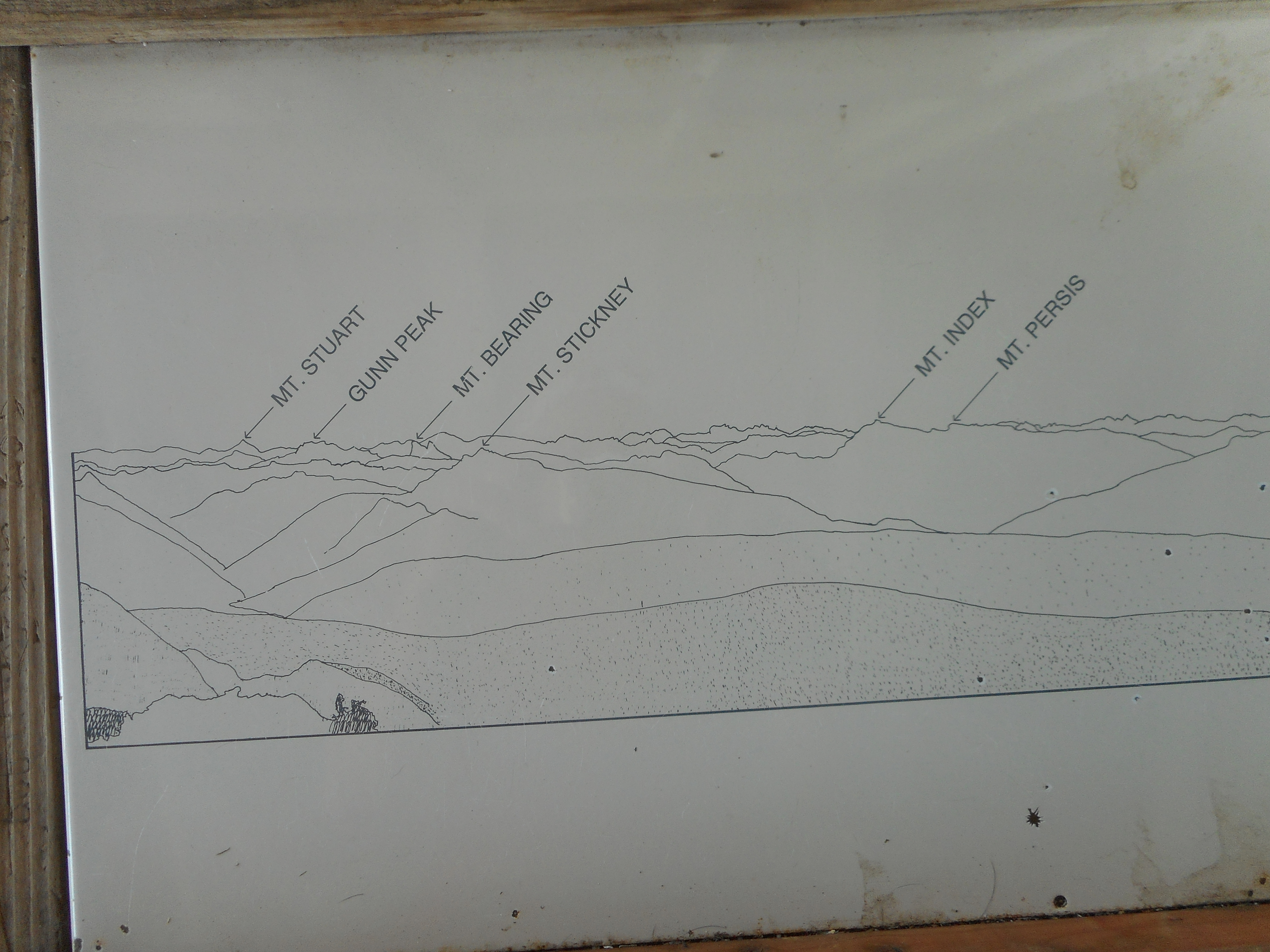
The lookout at the top is awesome and has diagrams on each of the four sides of the mountains visible in that direction:
Mountains visible from one side of the lookout
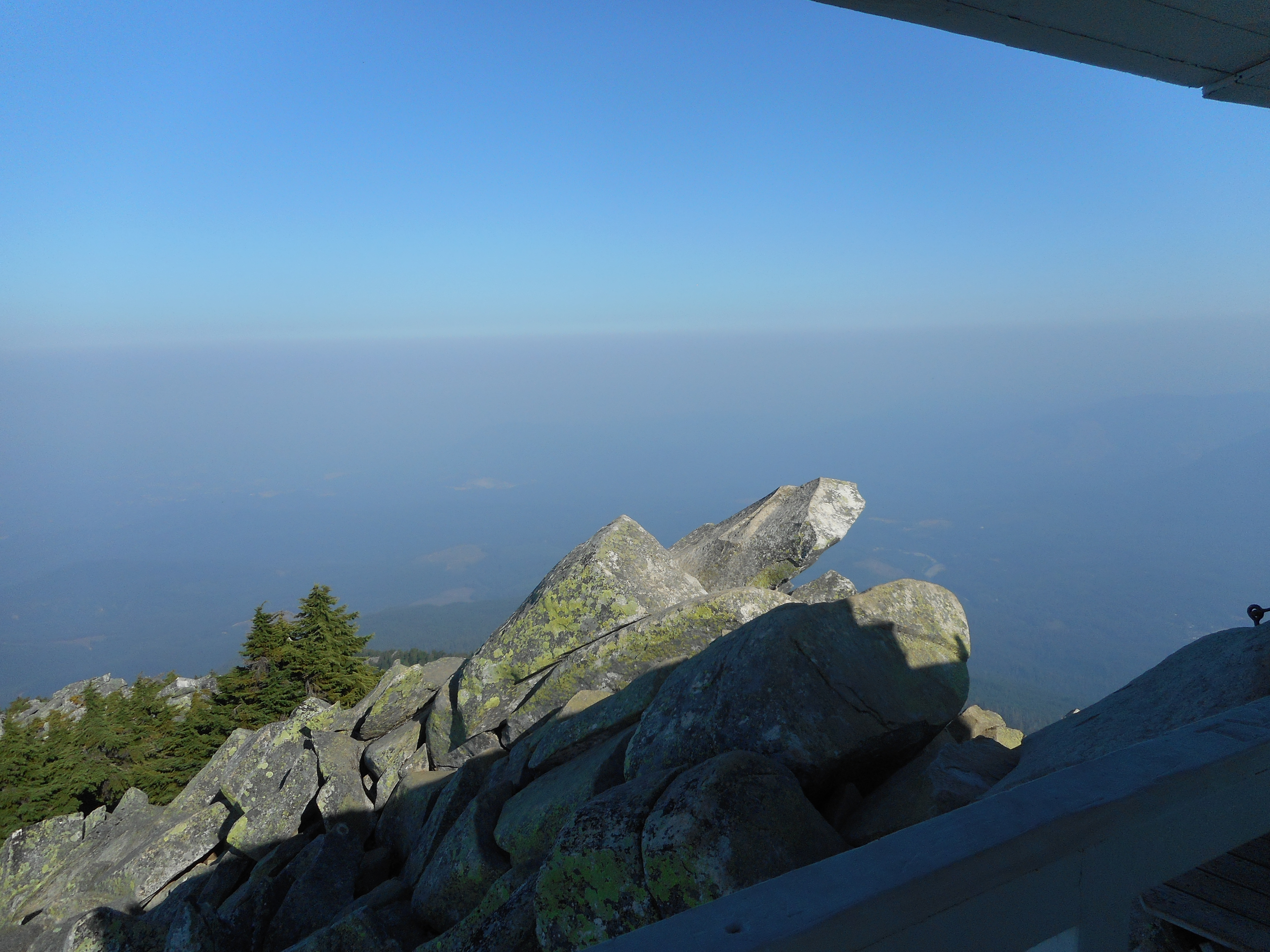
Unfortunately, the views today were not very good due to the smokey sky. There are large fires north and east of us right now and the sky is hazy with smoke: