Change Creek to Truck Summit 5/29/2017

Truck Summit in May
Truck Summit in May

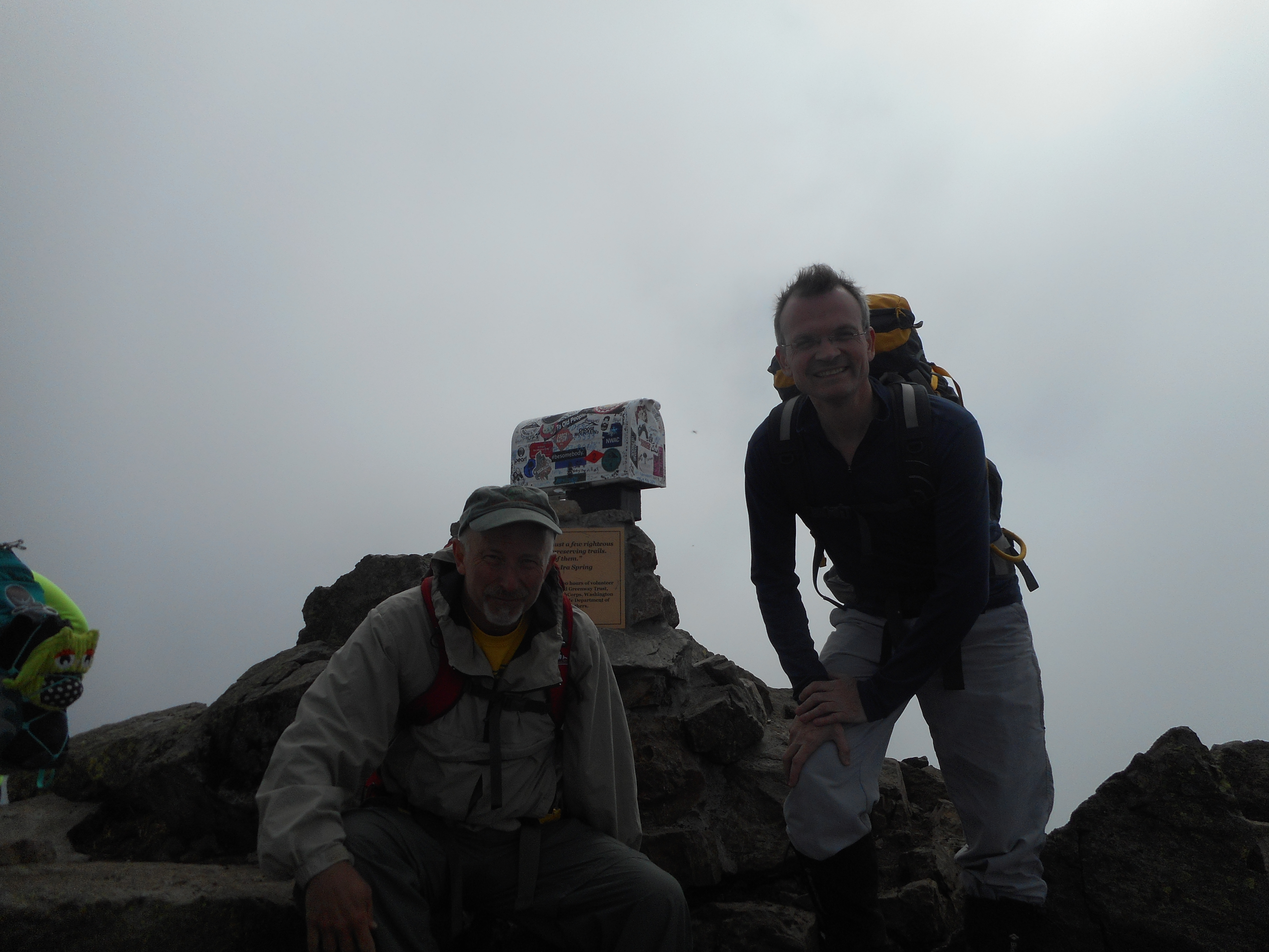
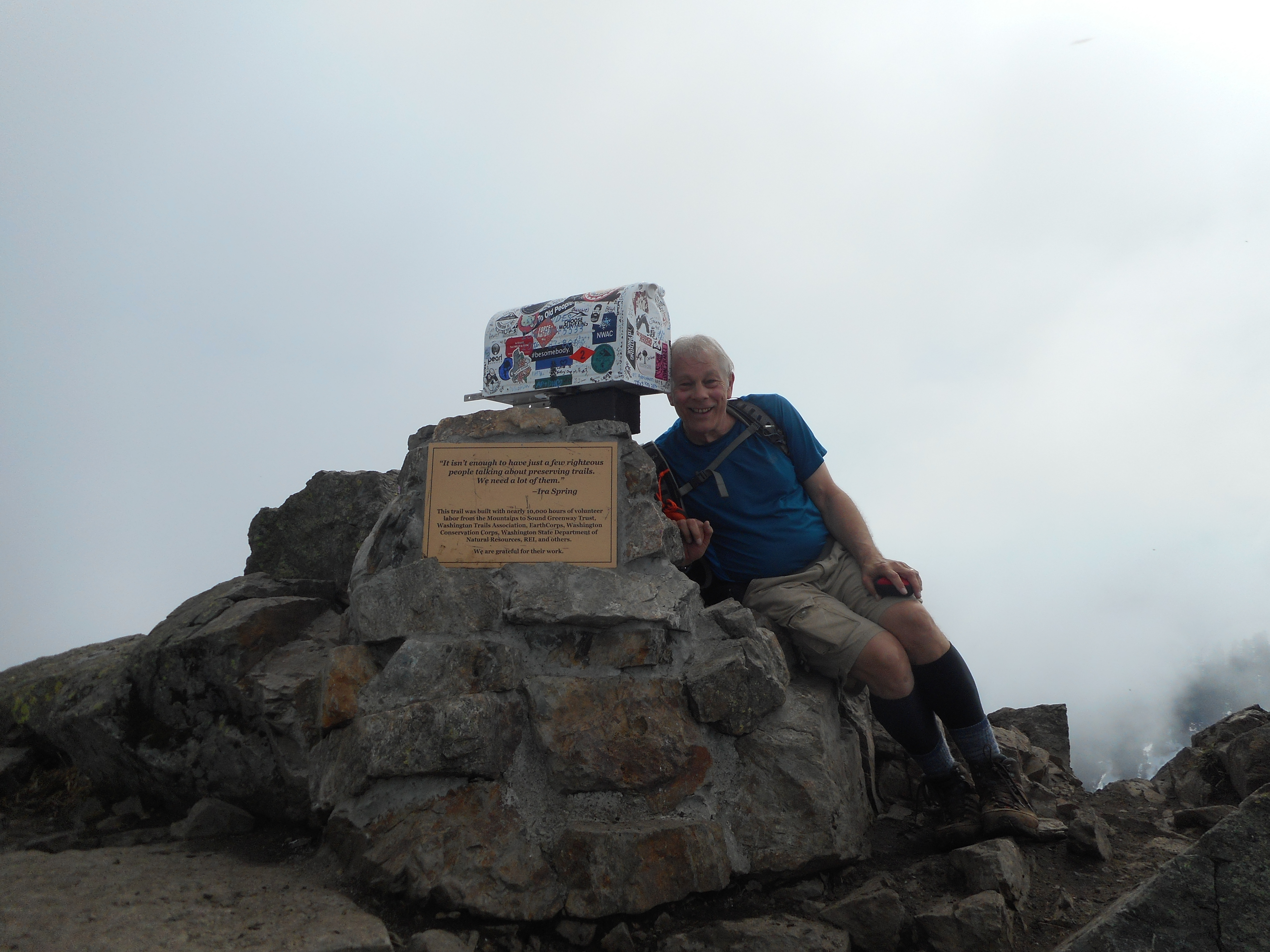
Derek and I did a Memorial Day hike that wound up going well beyond our original plan.

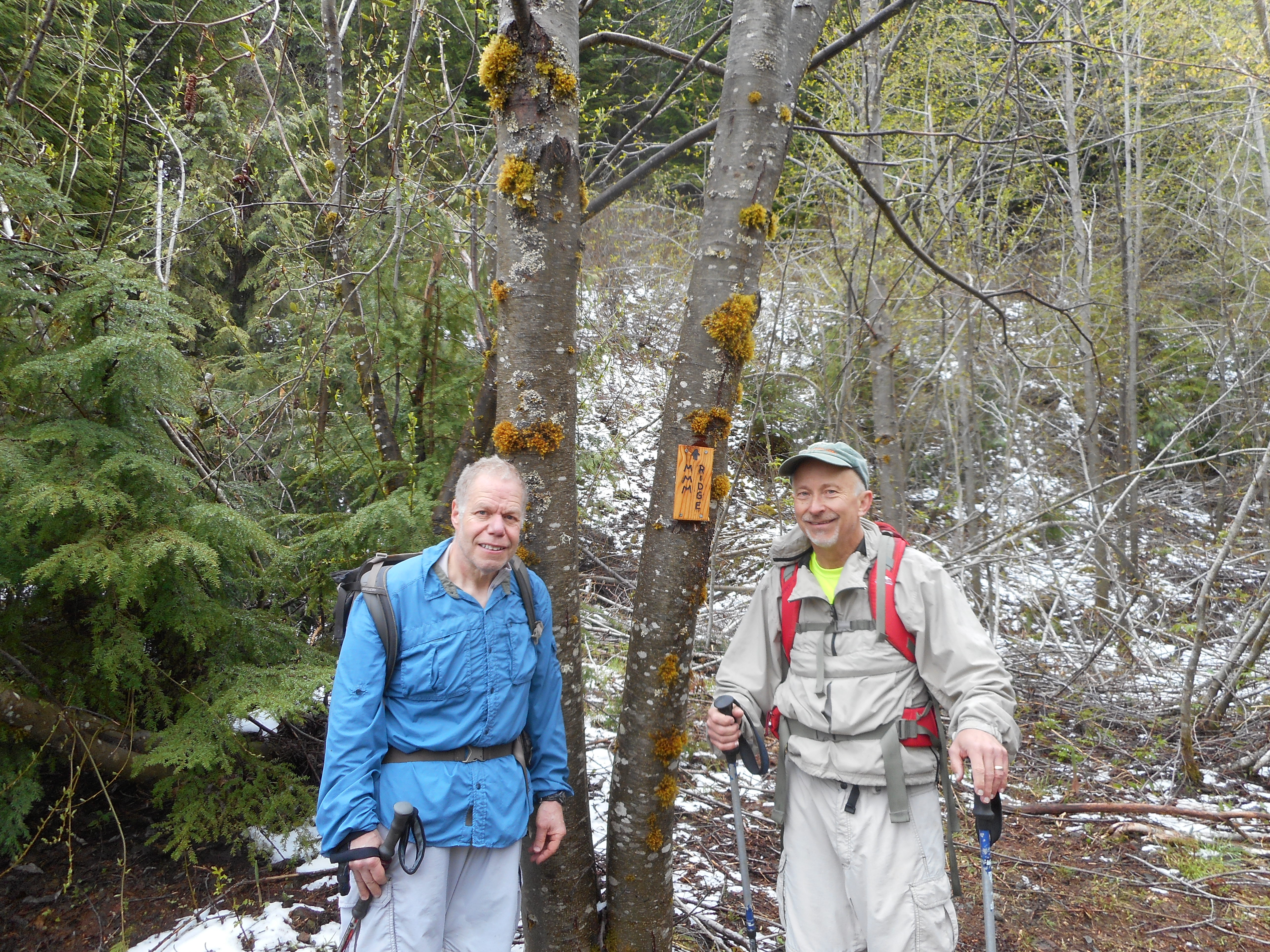
We went up the Change Creek Trail to Hall Point and went to Hall Point.  On the way down we found a trail we had been looking for that goes straight up to J’s Landing.

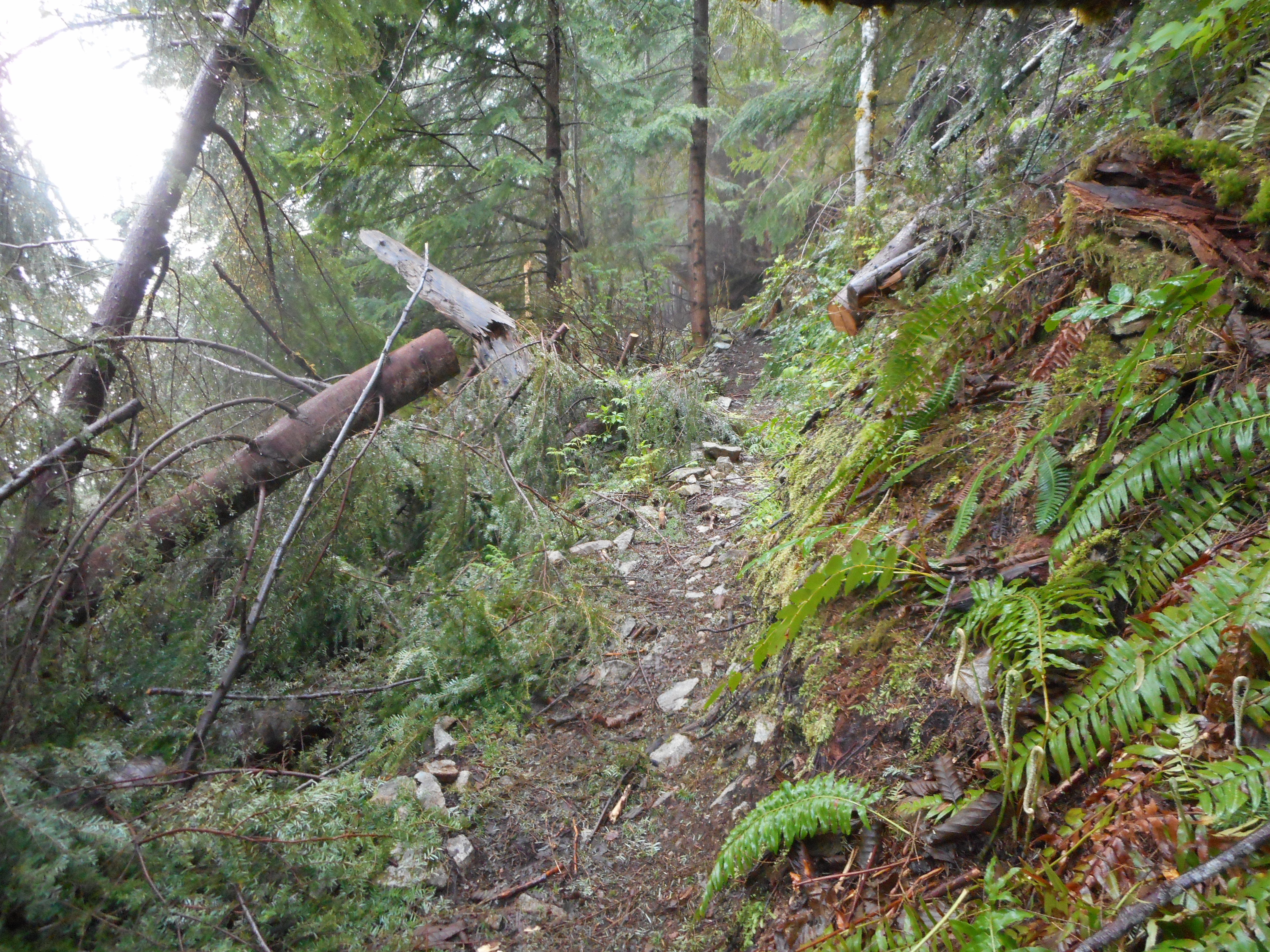
From J’s Landing we went up and up and finally met up with the service road just below Mid Mother Mountain.  We went south on that road, then east, then north (that is, we hiked all around the Hall Creek Ravine) and finally came out by the top of the Zig Zag Trail.

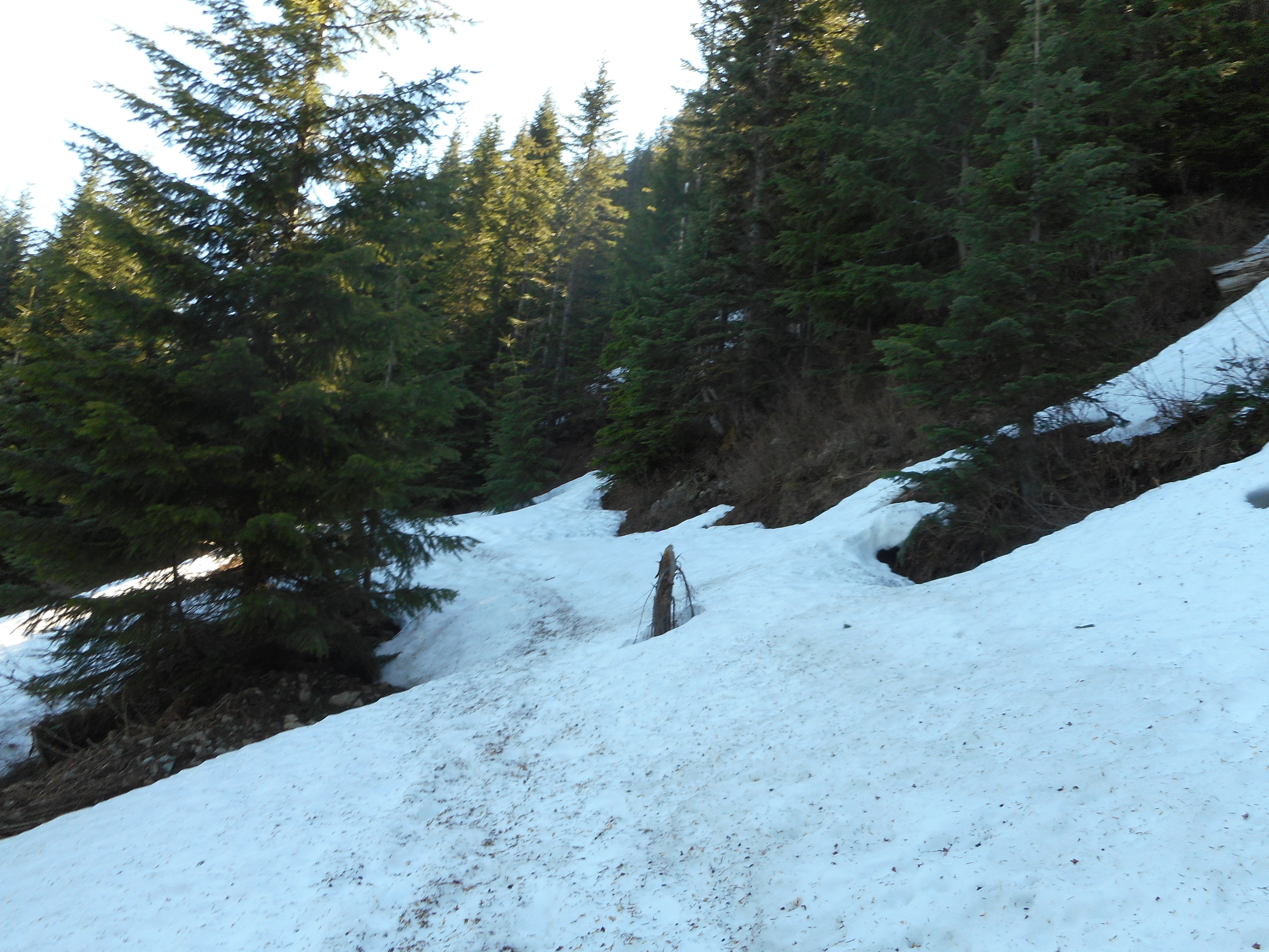
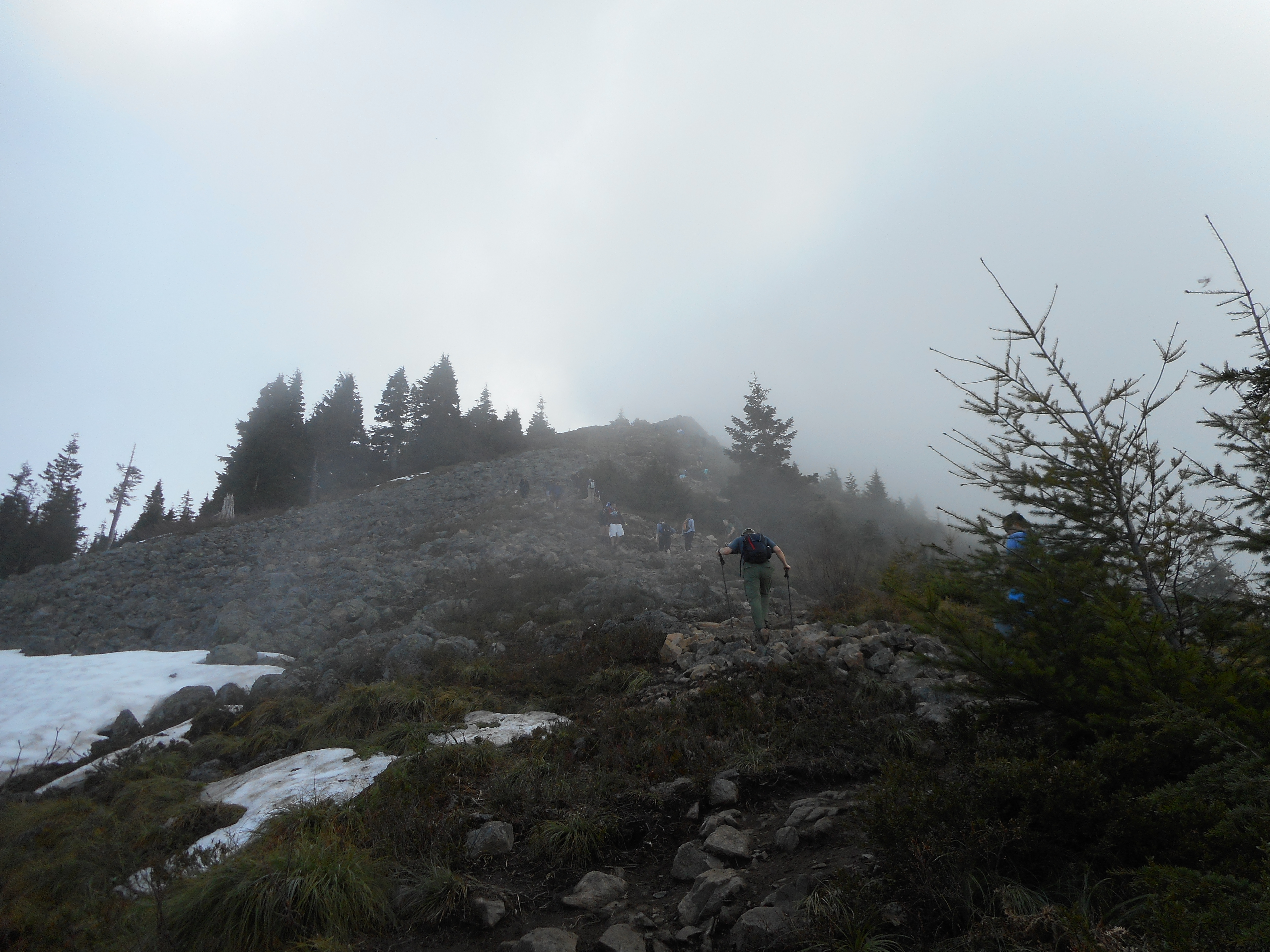
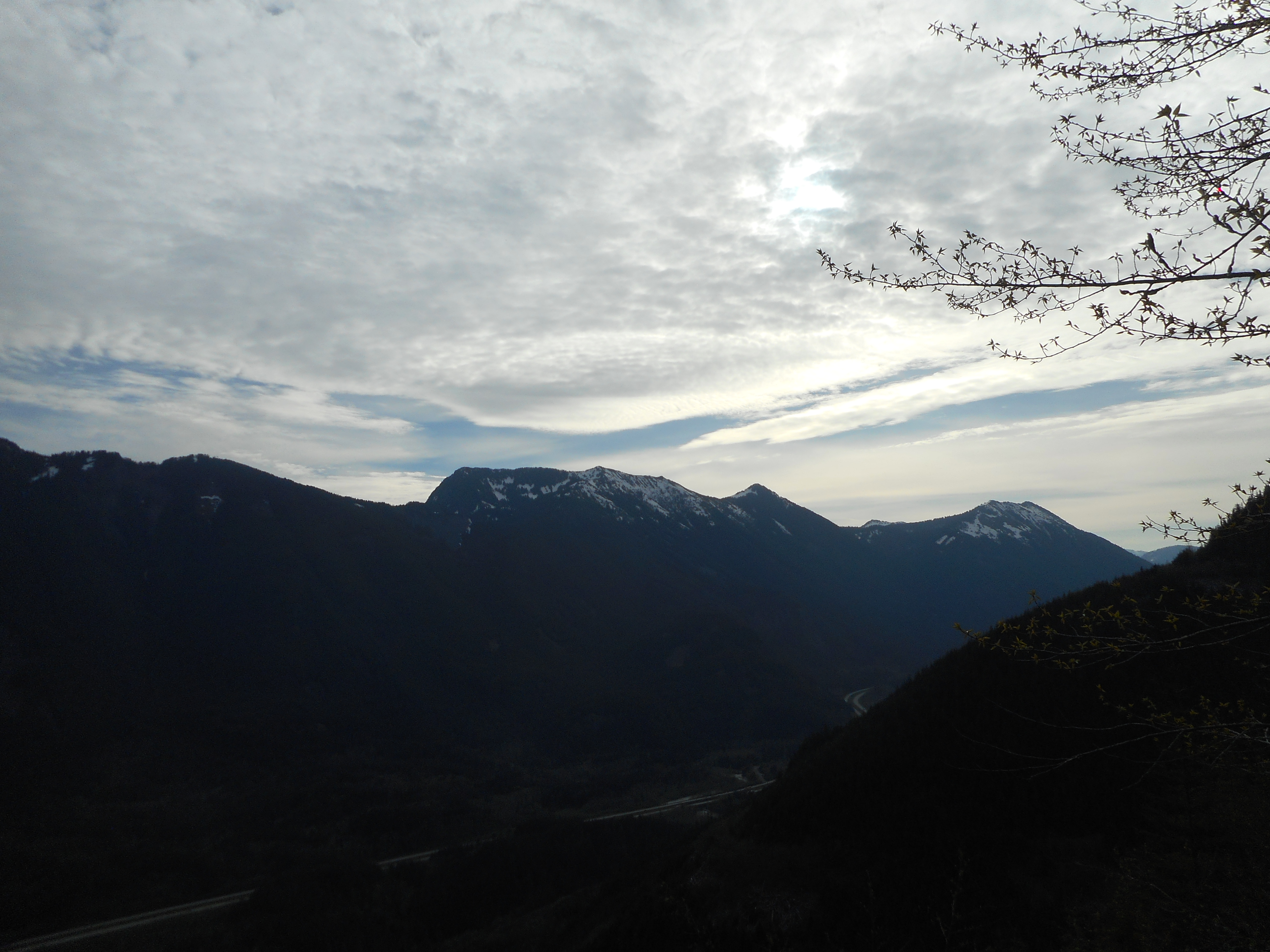
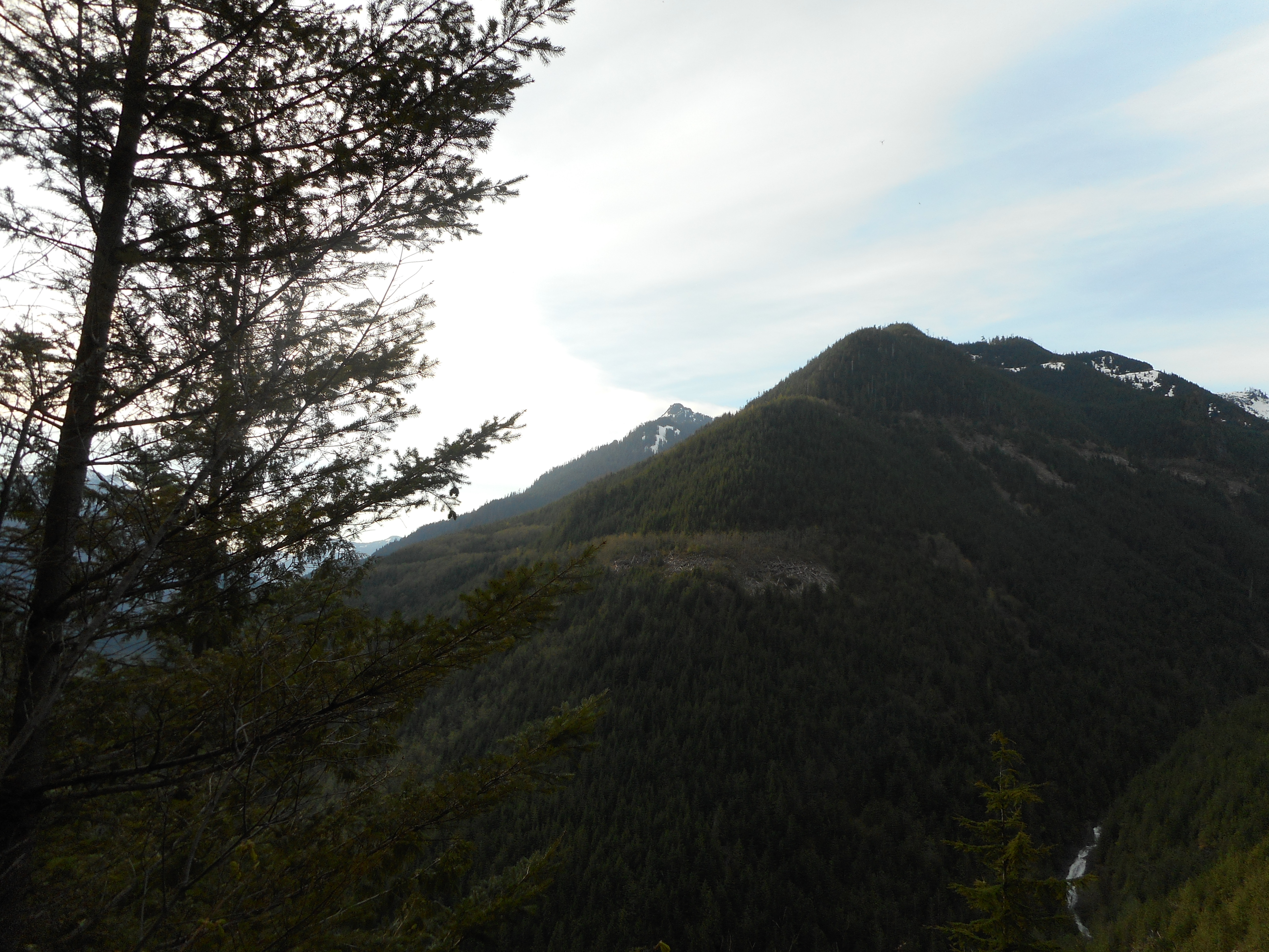
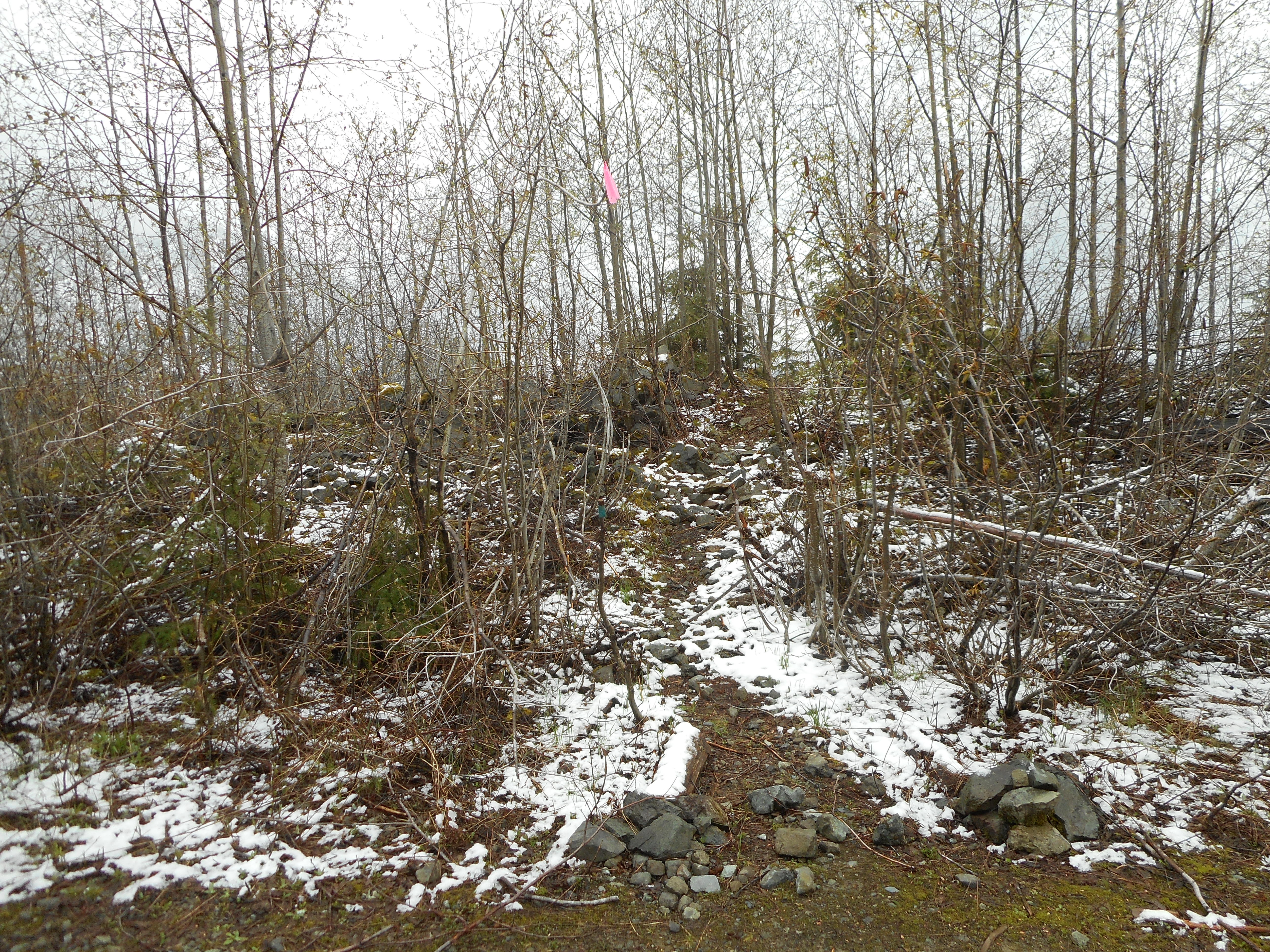
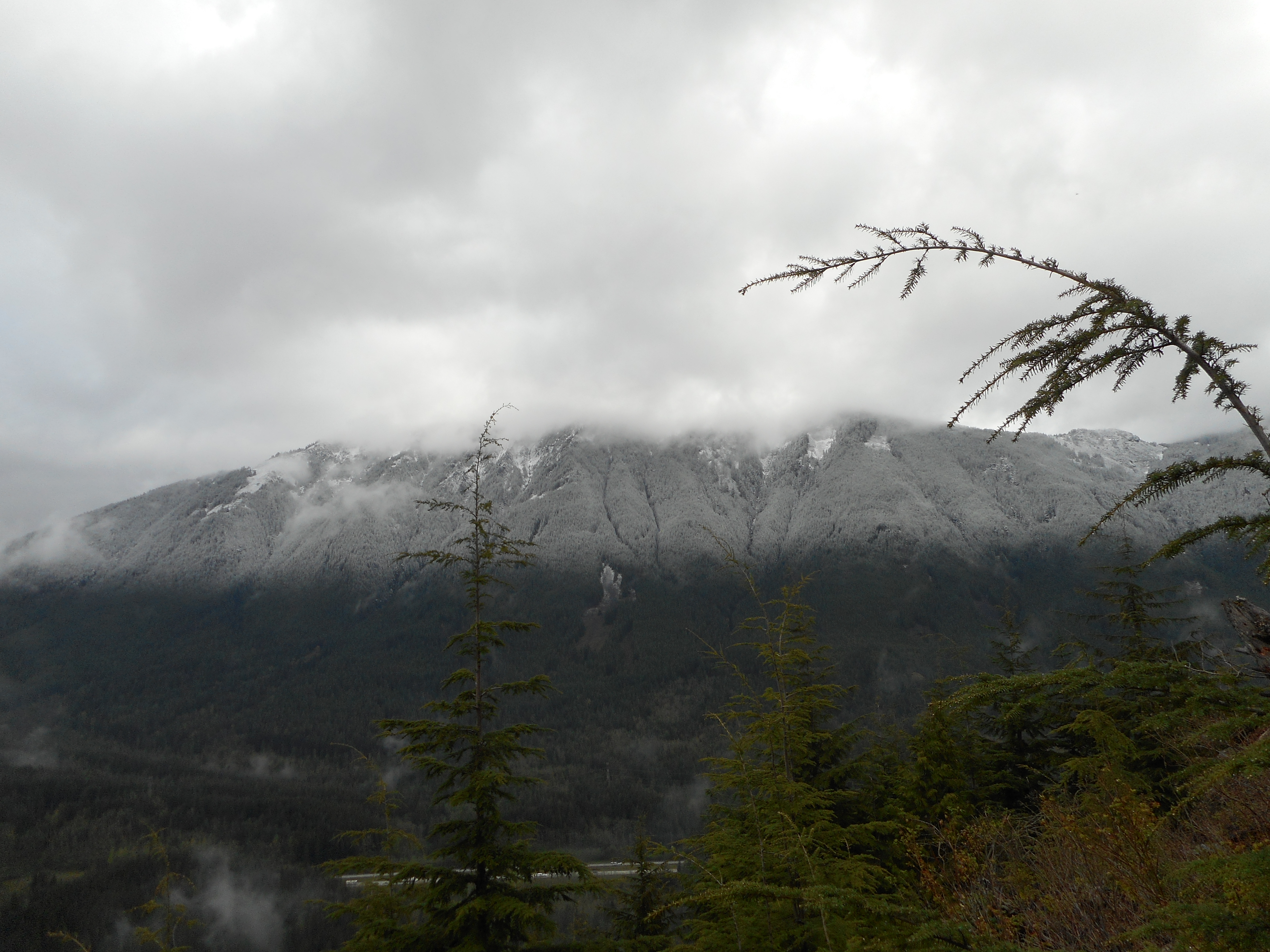
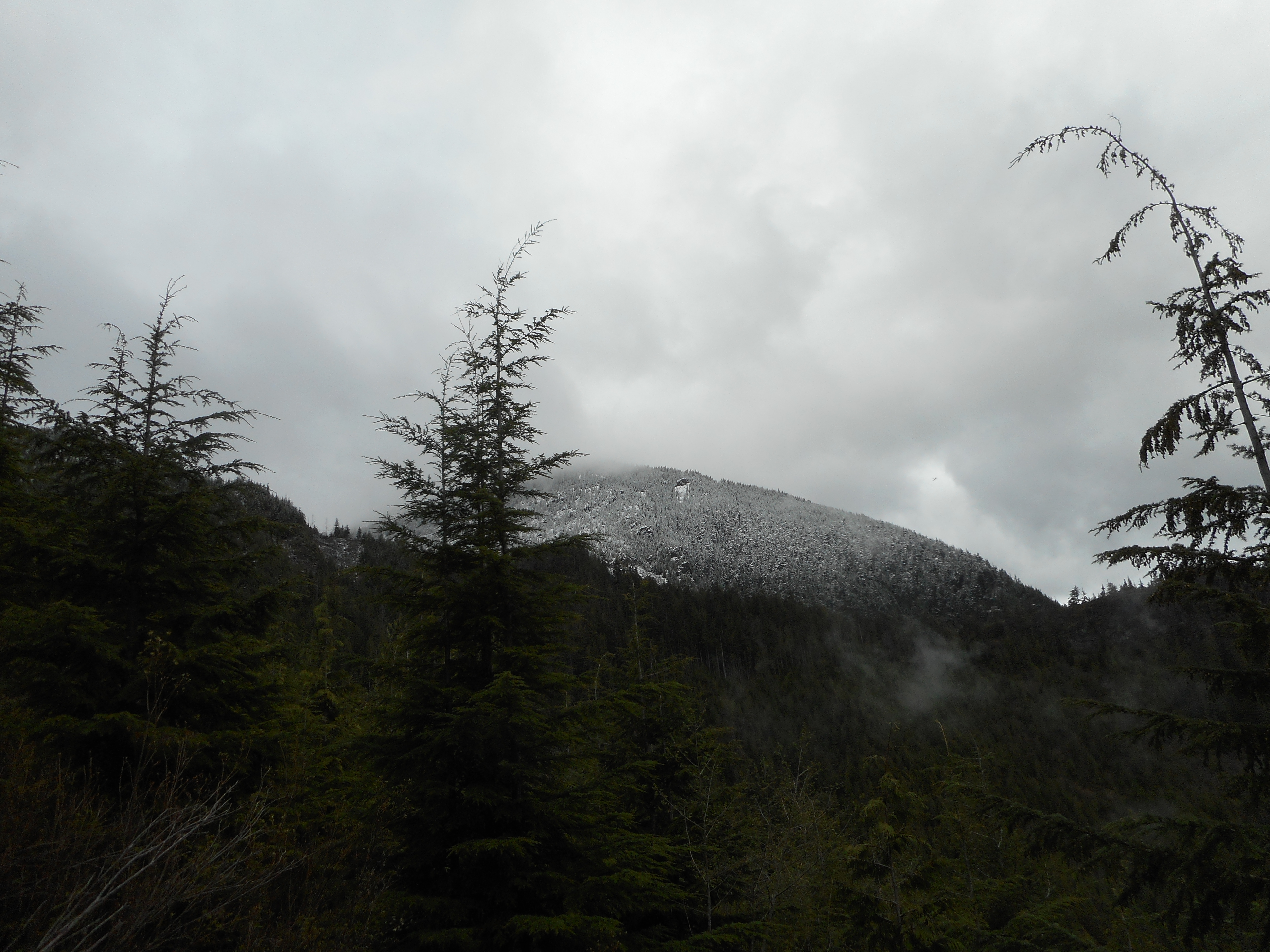
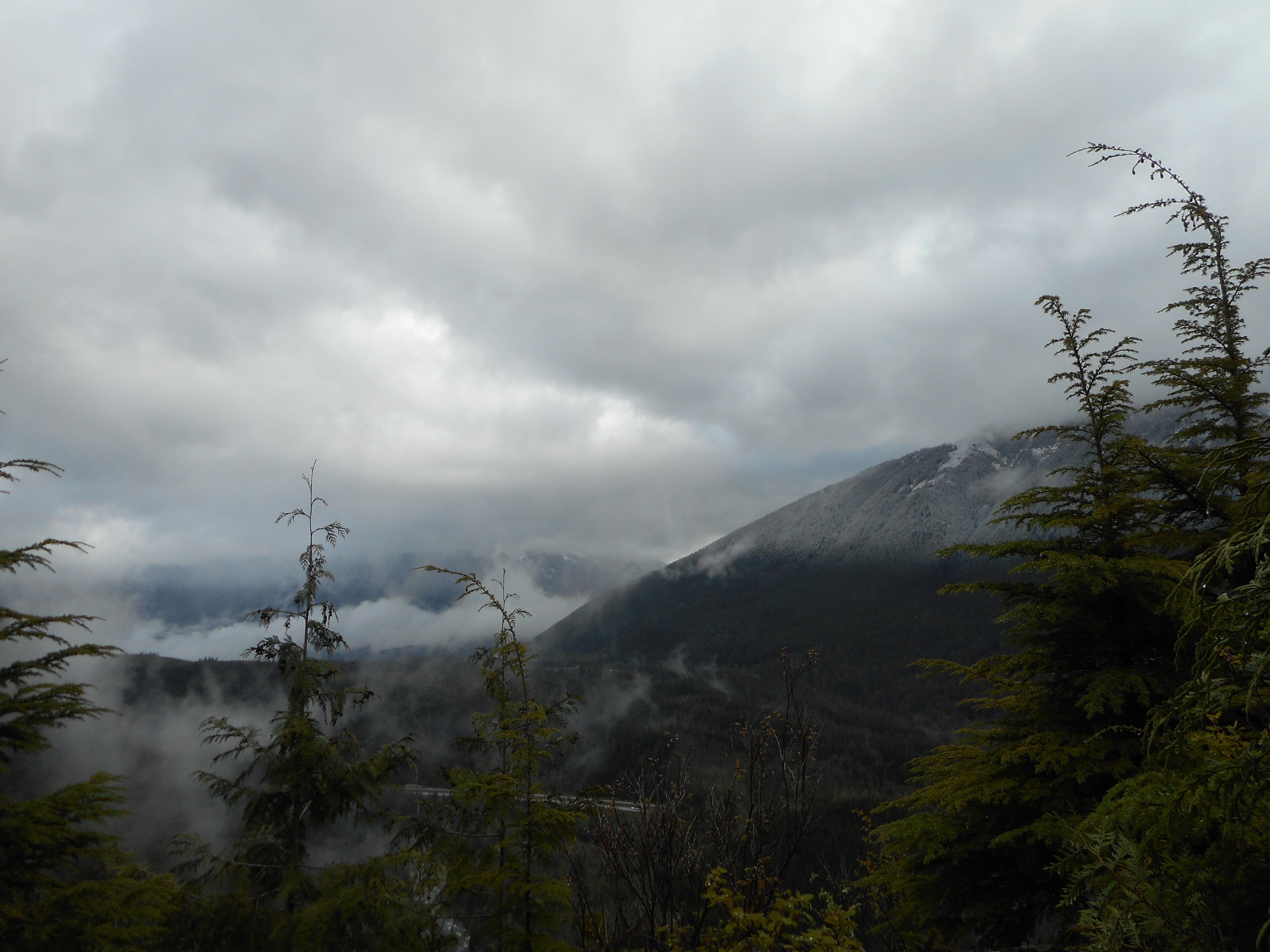
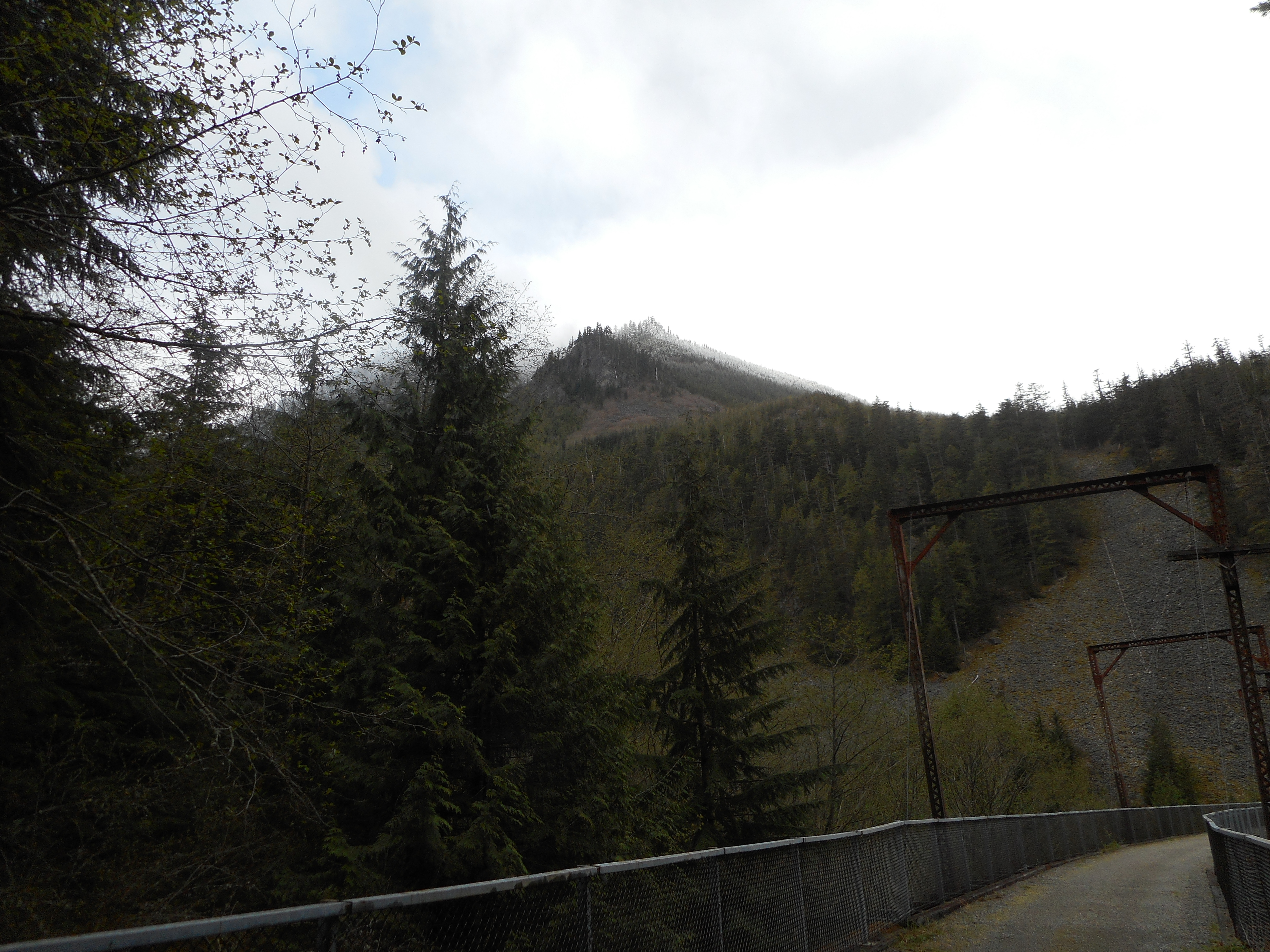
We decided to go up to Truck Summit.  There was snow along the way:

Still some snow up high
Another Great View
Another Great View

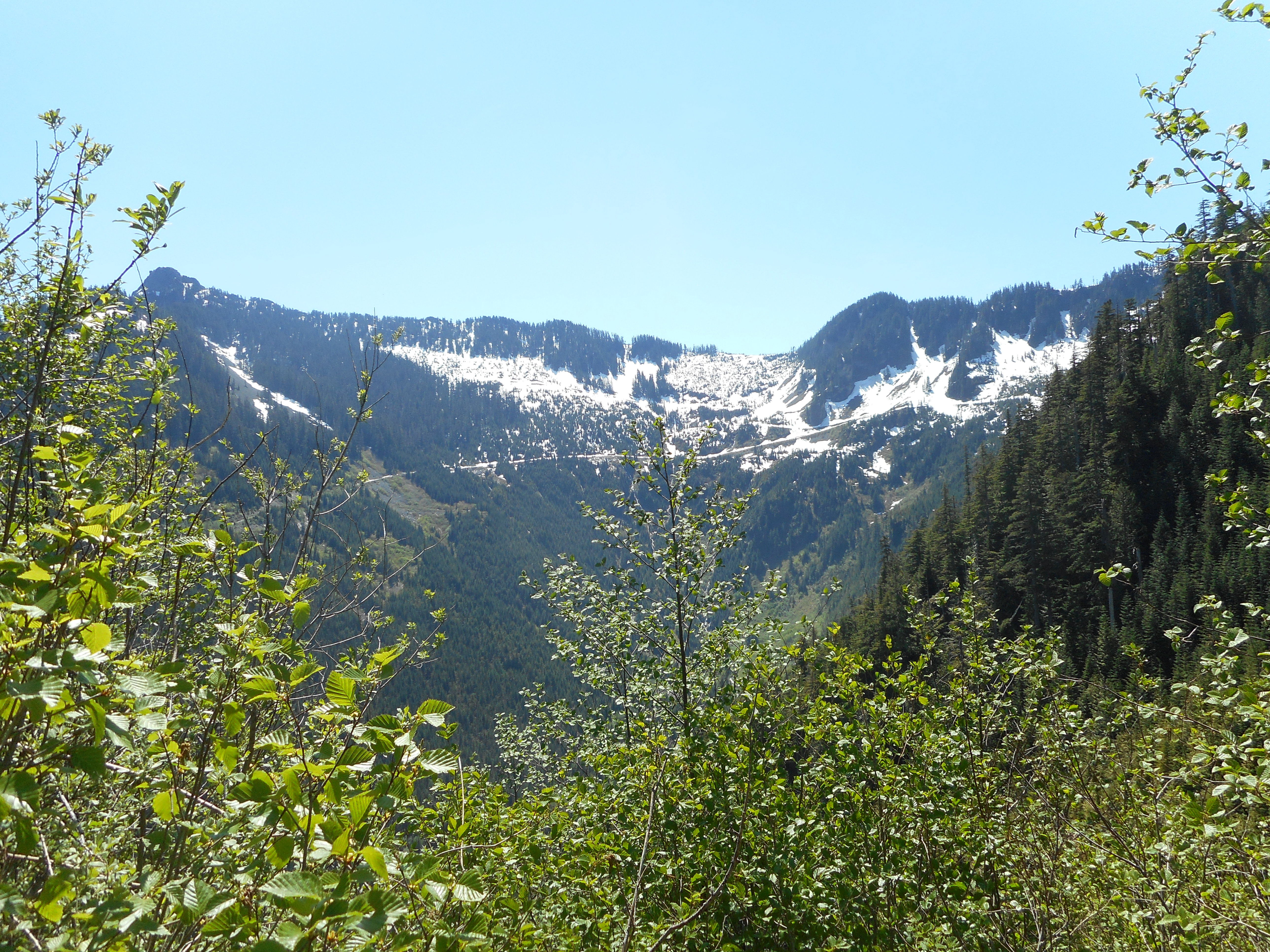
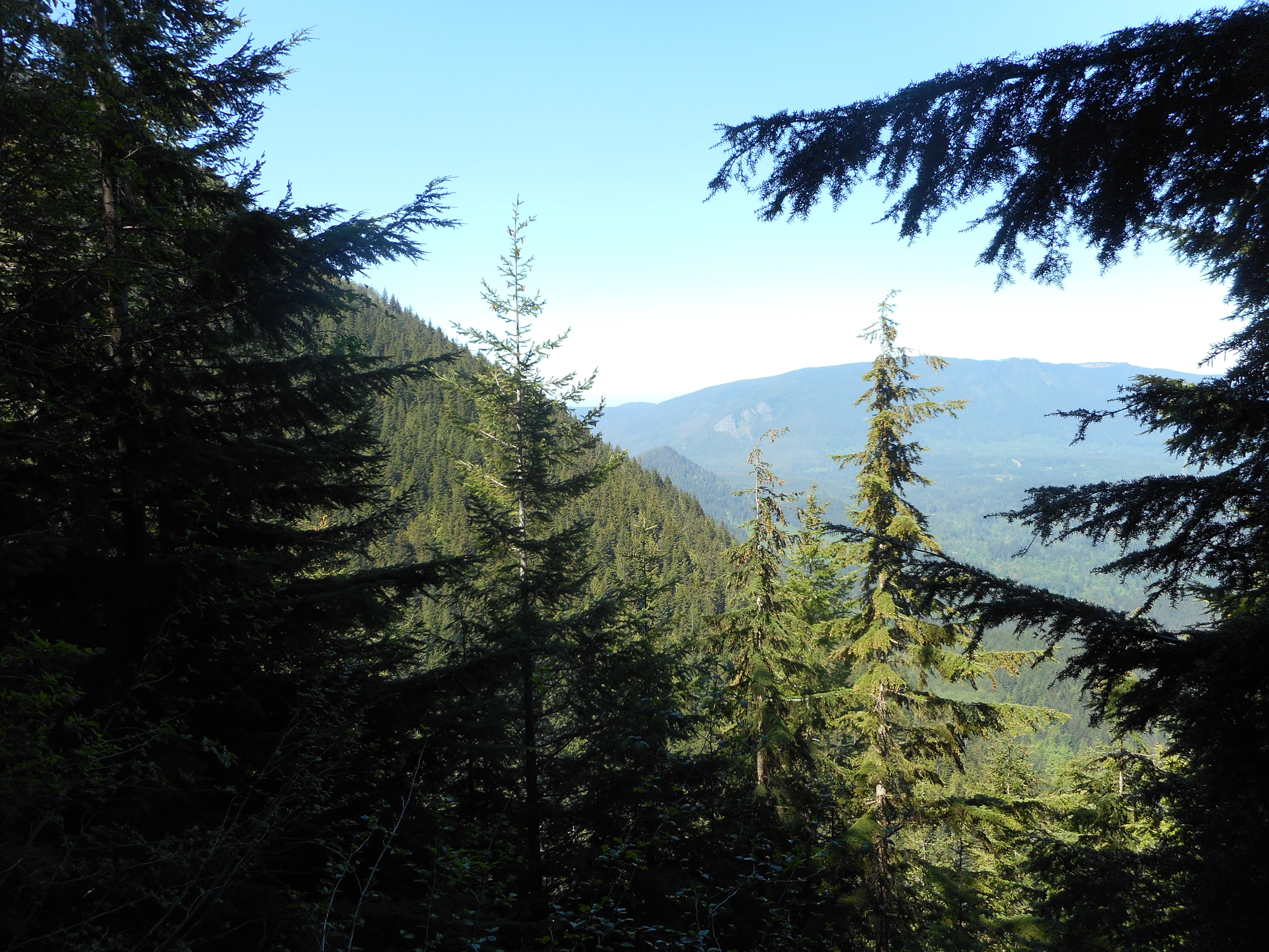
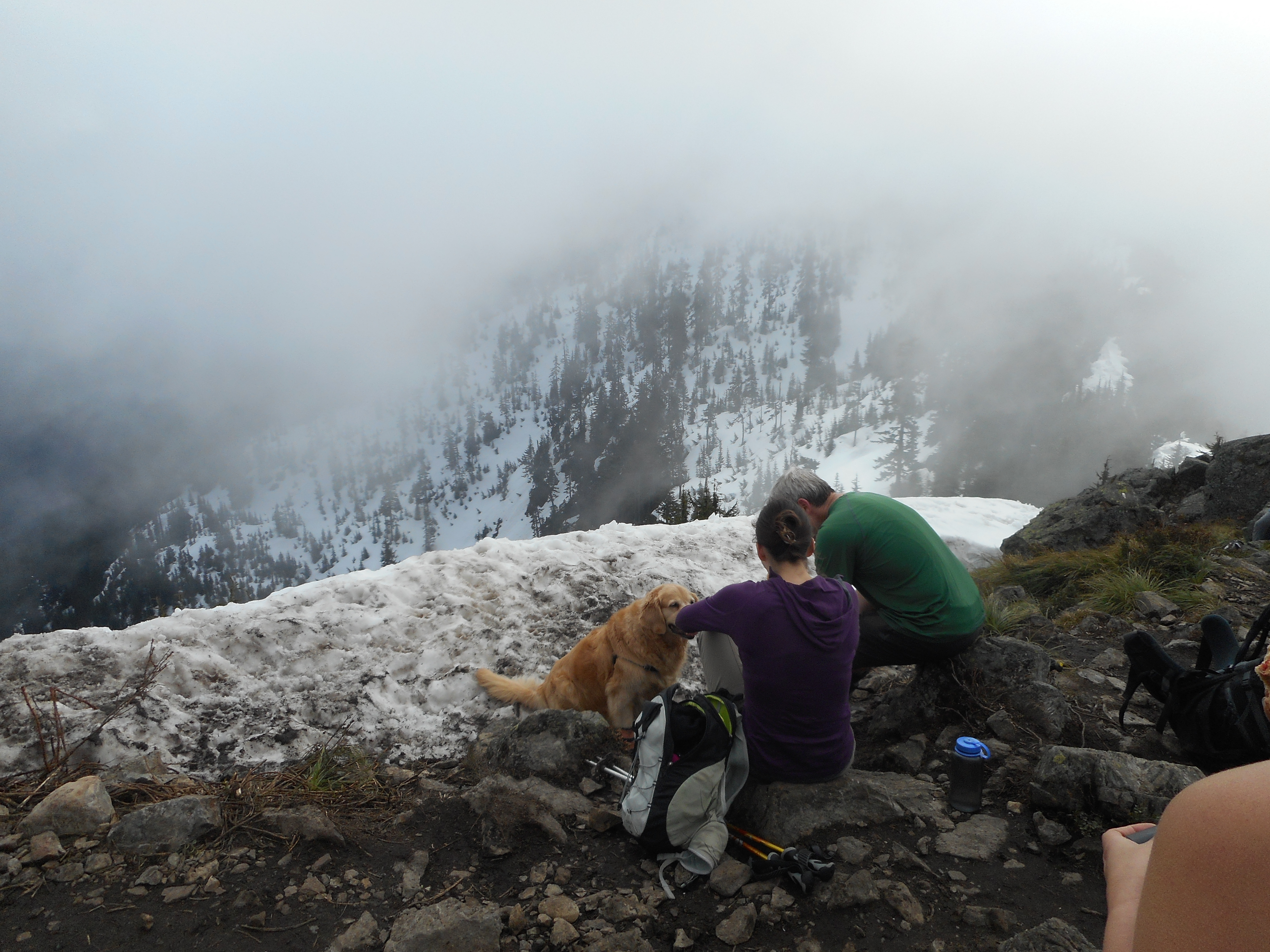
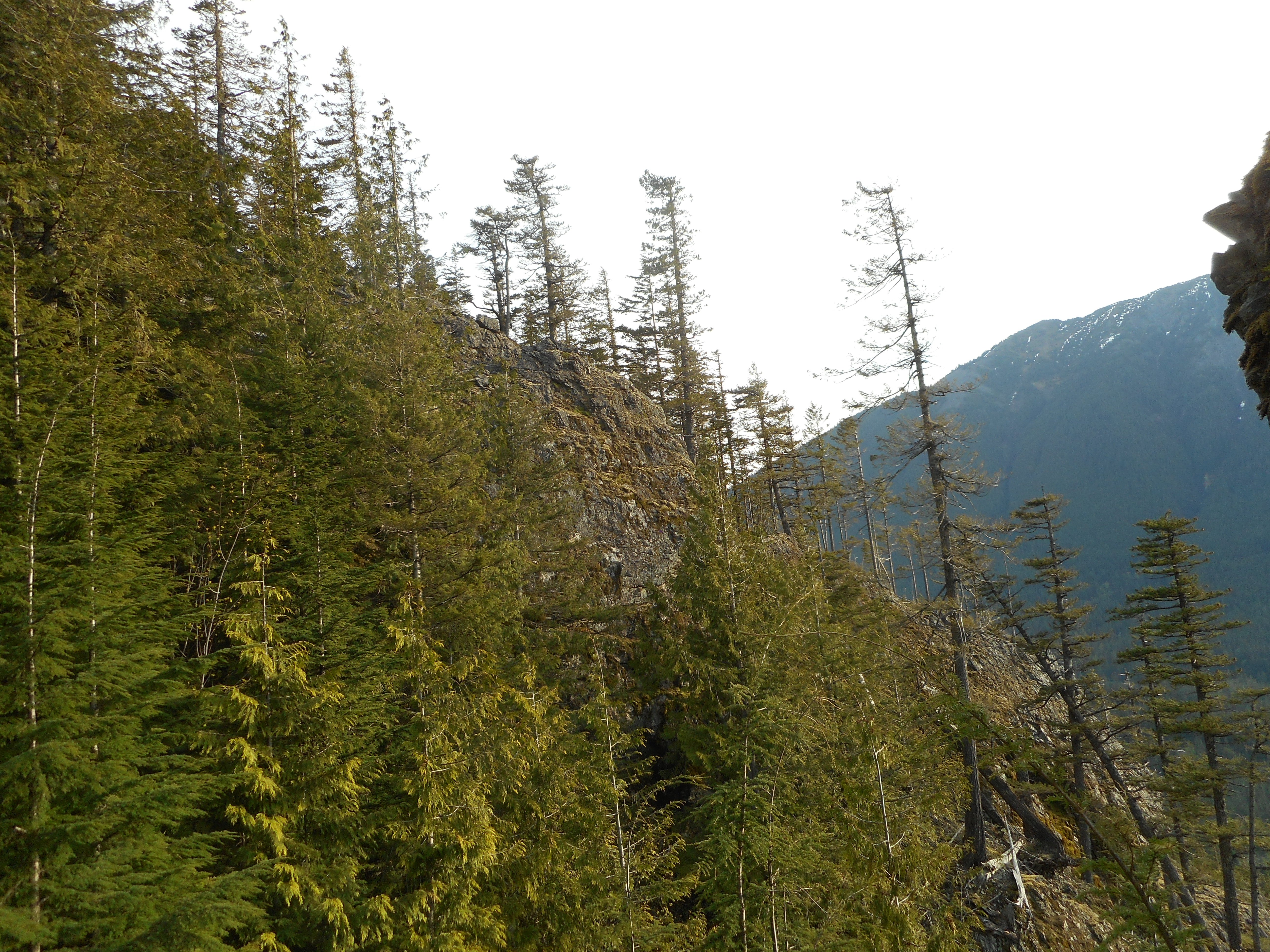
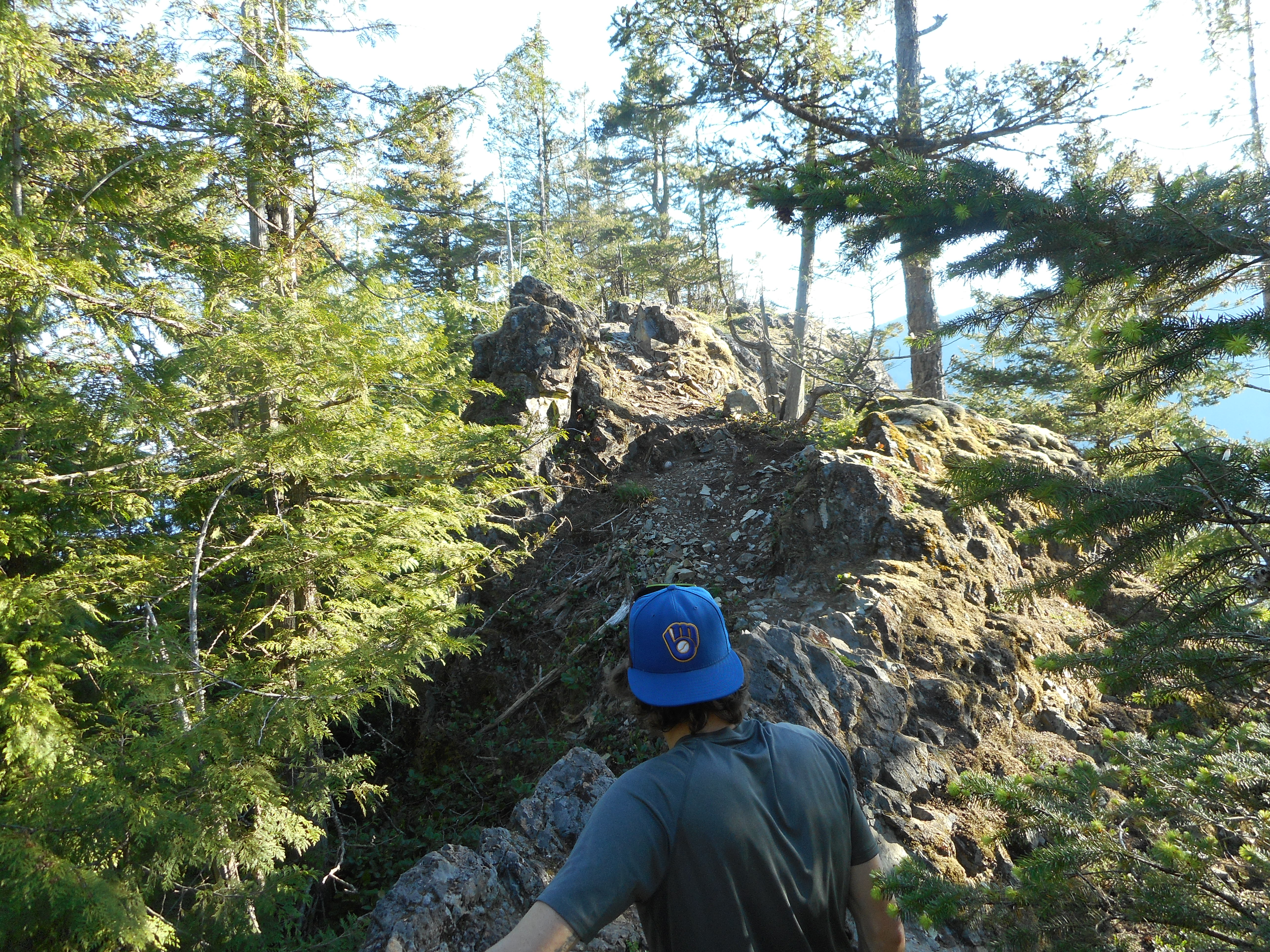
We did a little detour to an unnamed view point which I herewith dub FinCam View Point;

FinCam View Point
FinCam View Point

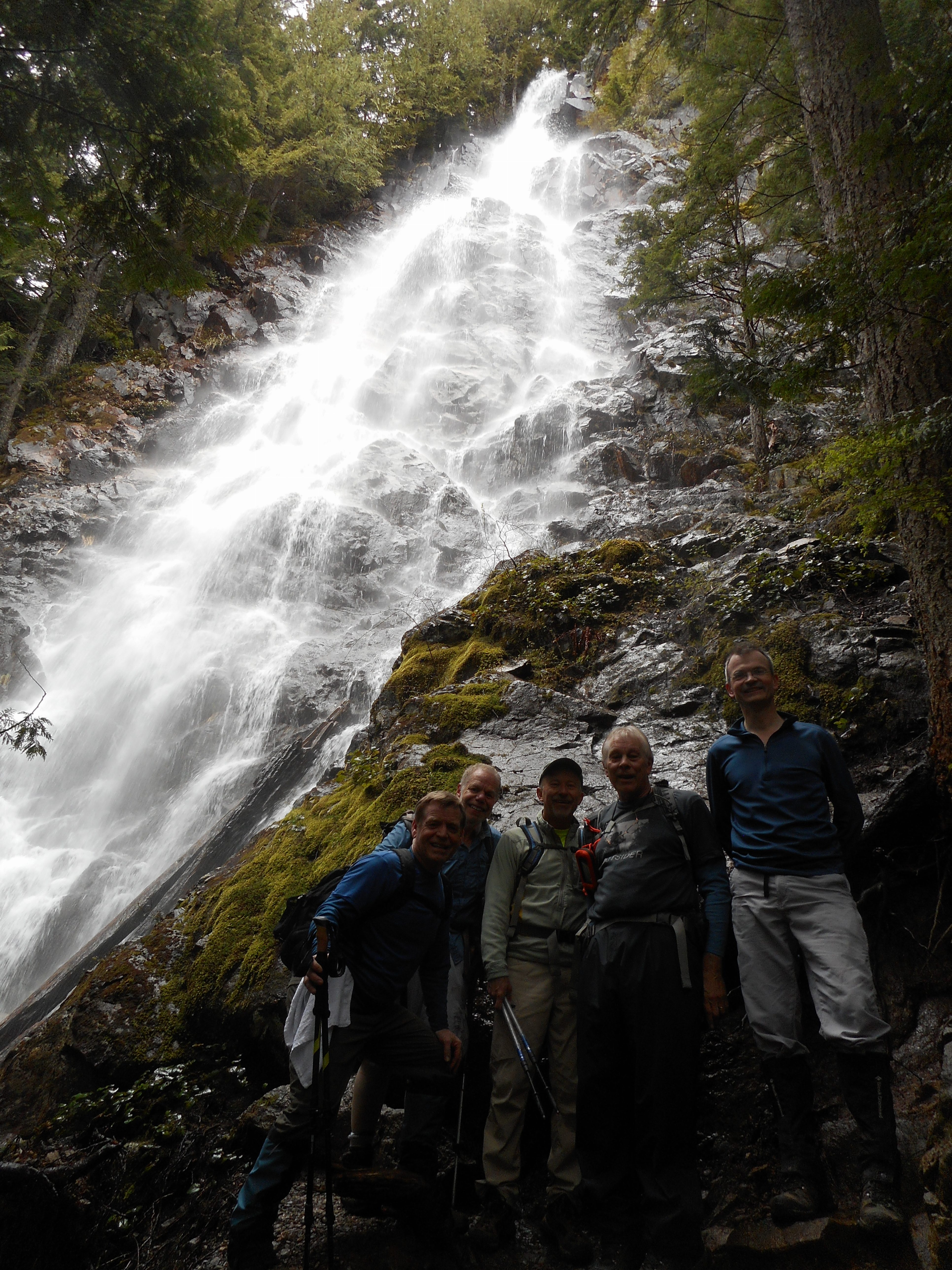
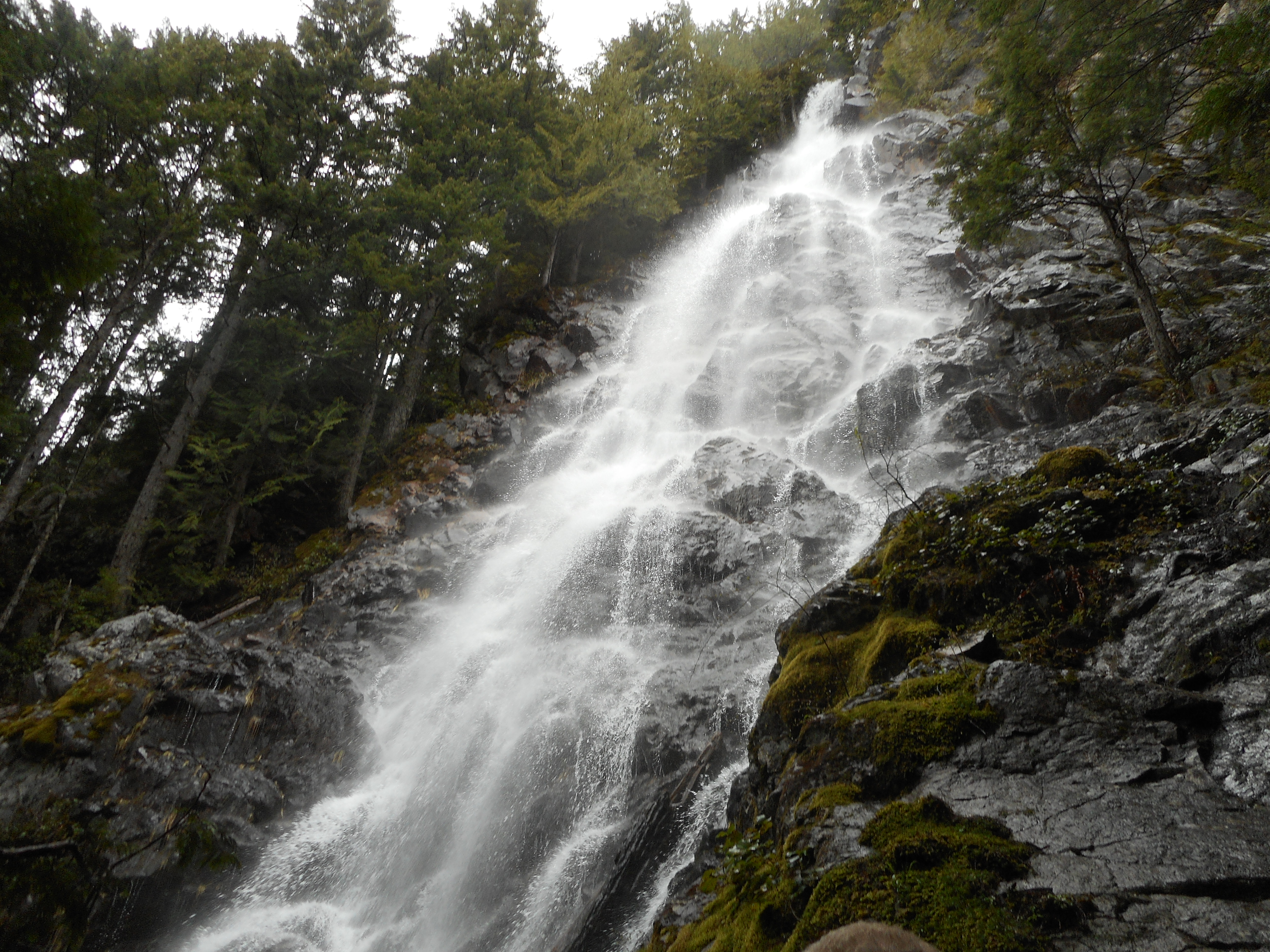
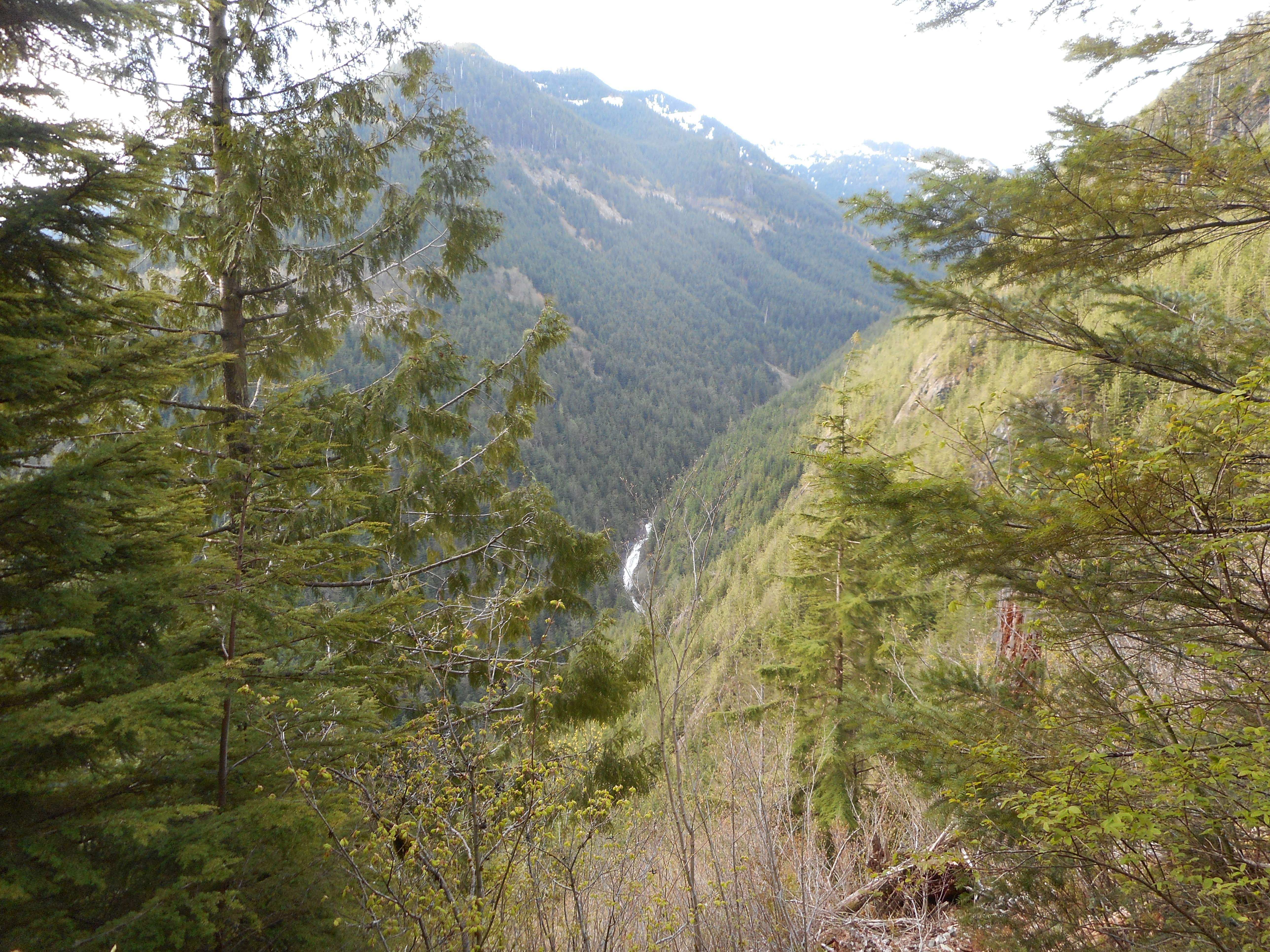
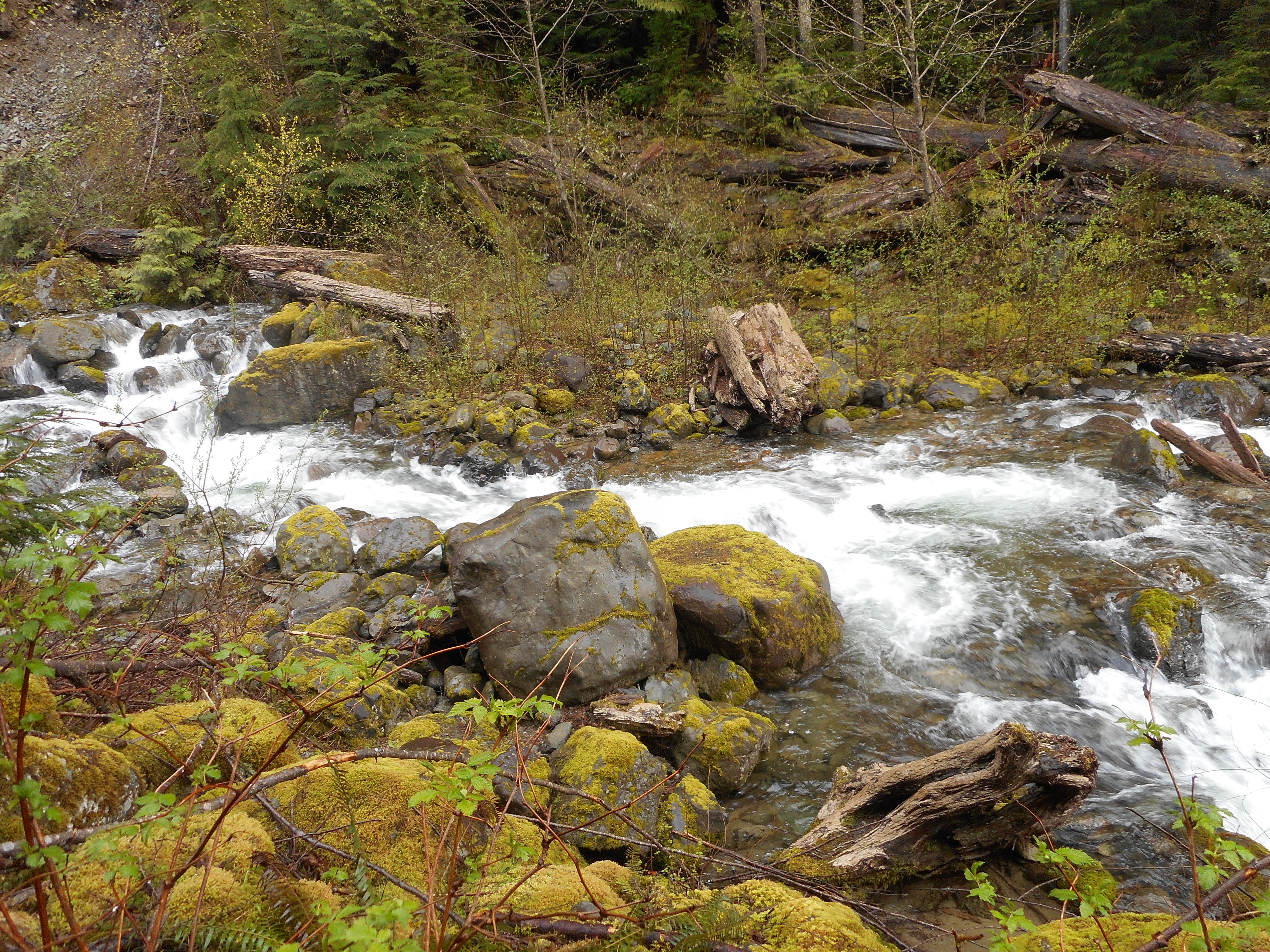
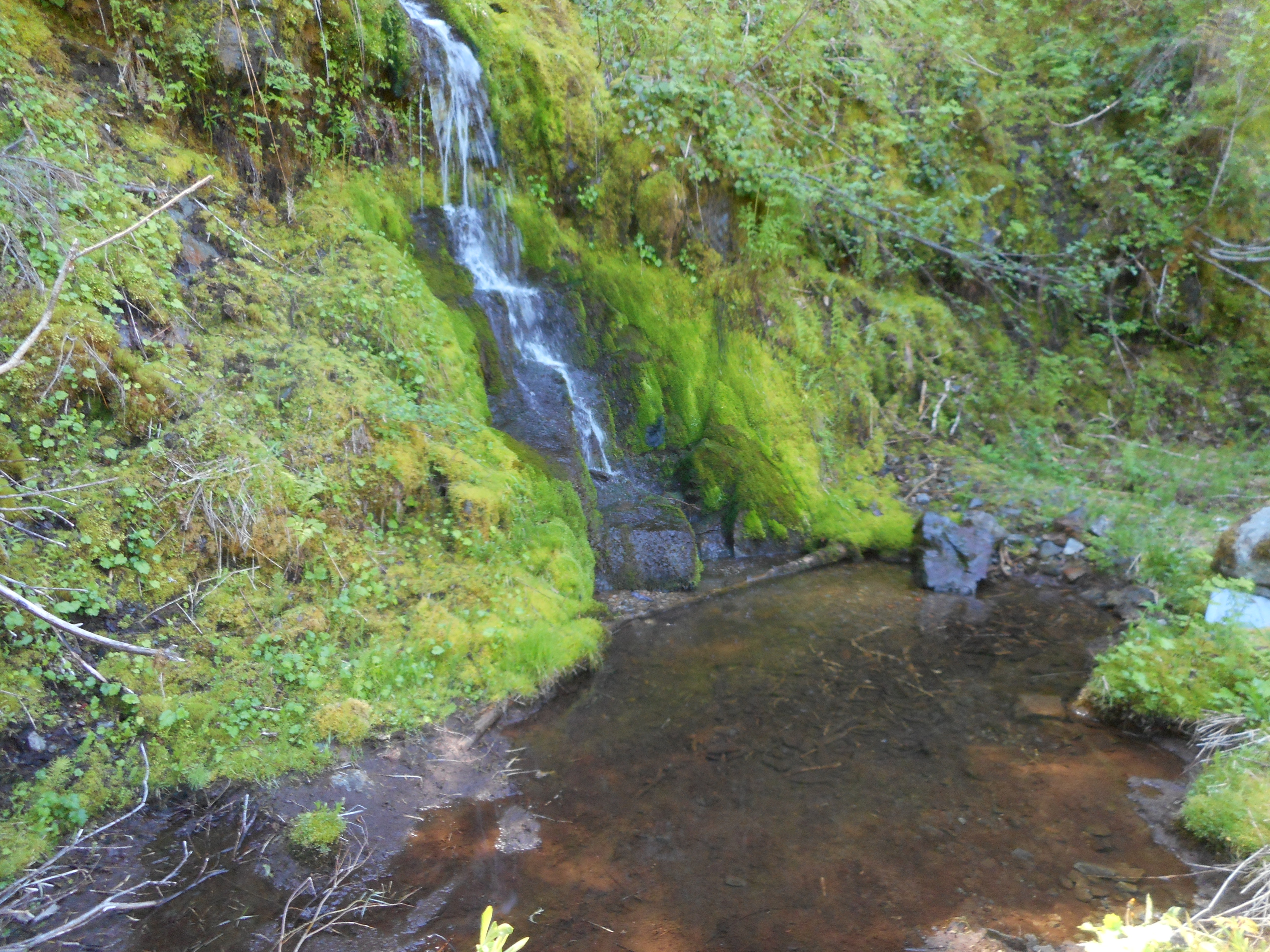
Plenty of great things to see, like a little waterfall:

Remote Waterfall and Pond

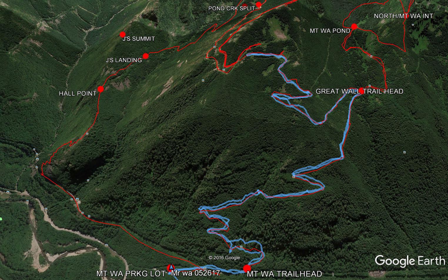
Almost 4K elevation gain, 10.5 miles, a great, bushwhacking hike.  Here is the track:
https://adventures.garmin.com/en-US/by/djhiker/change-creek-to-truck-summit#.WSy6kNy1upo


Mt. Washington/Great Wall 5/26/2017

Google Earth - today's track is blue
Google Earth – today’s track is blue

My plan today was to hike Mt. Washington via the Great Wall, or at least see how far I could get.  The above snip from Google Earth shows I got almost to the intersection with the Change Creek Trail.

The problem was the snow, which, as the sun rose higher, was getting annoyingly soft:

Where I turned around

At first, walking on the snow was no problem.  But as it started to soften, and get slick, I was sliding and post-holing.  I had to get to Snoqualmie in time to take Finley to a movie so I turned around.

Speaking of Fin, she and I have hiked Cedar Butte a couple of times and I thought she might like to see this picture of Cedar Butte, from about a mile and a half up the main Mt. Washington trail:

Cedar Butte poking up between the trees

A fun hike although I would have like to have gotten farther.  Not sure what I did since my Garmin did not correctly record the track.  It gave me the entire drive from my home to the trail, plus the hike.  I estimate about 7 miles, 2600 feet of elevation gain.  A beautiful day!

Mailbox Peak 5/20/2017

Carl and Mark by the mailbox

Why is this mountain named Mailbox Peak?  See photo above, on the summit.

Even the old guy made it:

The old guy made it
The old guy made it

And believe me, this is a tough one.  Other than Low Mountain, which was painful due to the intense bushwhacking, this is the toughest hike I have done.

We went up the Old Trail, which, as you can see from the track below, is pretty much straight up the mountain, and then down the new trail, which is a bit less steep.

But at the point where the old and the new trails meet up and become one, you go a bit farther and hit a sheer wall of rocks you have to get up:

That isn't even the summit
That isn’t even the summit

Now when I got to this point, I thought the summit was the top of the rocks.  Nope – not at all.  If you see the trees on the left at the top, they obscure the actual summit.  When you get up this section, there is another, steeper section left.  Oh my!

In spite of the steepness and ruggedness of this hike it is very popular on a weekend with fairly nice weather:

Crowded Mailbox Peak

Not much of a view today but we did get to see a bunch of dogs:

Golden on the summit

The slight clearing in the above photo was the best view from the summit.

Here is the track:

https://adventures.garmin.com/en-US/by/djhiker/mailbox-peak-5-20-2017#.WSDMCdy1upo

Awesome hike, but my legs might be just a tad sore in the morning.

J’s Landing (again) with Carl and Ken 5/17/2017

Ken and Carl at J's Landing side trail
Ken and Carl at J’s Landing side trail

Not much to report.  I did this exact hike last Wednesday.  Neither Ken nor Carl had been on the Change Creek Trail before so I showed them the semi-hidden trail head and up we went.

There was a little snow up there today (see above) but not a problem at all.

A fun outing and, as always, a nice workout since the trail is fairly steep.

The sign, by the way, says ‘MMM Ridge’.  It’s new; there used to be a sign for  J’s Landing.  If you go past J’s Landing, where we turned around, you can bushwhack up to the service roads and from there a further bushwhack will land you on the summit of Mid Mother Mountain, also known (more poetically) as Songbird Peak.  I will try it out when the snows are gone.

Teneriffe Falls 5/13/2017

At Teneriffe Falls
At Teneriffe Falls

That’s today’s gang at Tenerriffe Falls – a nice hike, we went a bit farther so it was about 6 miles round trip.

Decent weather, no snow where we were, which was nice.

This waterfall is kind of awesome:

Teneriffe Falls
Teneriffe Falls

Our track today:

https://adventures.garmin.com/en-US/by/djhiker/teneriffe-falls-5-13-2017#.WRdmaty1upot

Might go out tomorrow, Mother’s Day (a nice gift for Jan might be getting out of her way), depends on the weather.  But a very nice time today.

Change Creek to J’s Landing 5/10/2017

View North from J's Landing
View North from J’s Landing

I did another solo hike today, short but very steep.

I parked in the usual lot off Exit 38, the one past the Mt. Washington lot and went up the Hall Creek Connector trail again (like last Saturday) but this time, instead of continuing on the Zig Zag Trail, I went west to Change Creek Trail.

This is really a wonderful trail.  This is only the 2nd time I have hiked it solo, so I had plenty of time to drink in the amazing variety on this trail, from its semi-hidden start off the IHT to the top of J’s Landing.  There are so many different looks to deal with.

Waterfall in the distance

After the first 1/3 mile or so you start to see openings through the trees, like the one above, looking east.  That’s a waterfall on Hall Creek in the distance.  Plenty of eastern views and a few western ones.  There are also a lot of interesting rock formations around:

Rock Wall
Rock Wall

J’s Landing is a few minutes south of Hall Point, which has a nice, easily noticed sign.  But where there used to be an obvious sign for J’s Landing, there is now a sign that says something like (I forgot to snap a photo) ‘MMM Ridge’ – referring to a ridge above J’s Landing that ends in a bushwhack section up and down a ridge.

I hung some pink flagging tape on the trail as an extra visual heads-up for the side trail up to J’s Landing.

Anyway, the ridge ends on a service road and you can bushwhack further up to Mid Mother Mountain.

Good Neighbors
Good Neighbors

Pretty much the entire way the views are awesome.  I will be back soon.

Here is the track.

https://adventures.garmin.com/en-US/by/djhiker/change-creek-to-js-landing-5-10-2017#.WRNj-Ny1upo


Zig Zag Trail 5/6/2017

Top of Zig Zag Trail

I hiked solo today, the Saturday group’s timing wouldn’t work for me since I was scheduled to pick up Fin and Cam and bring them home for a stayover.  Even as I type….

I hiked up the Zig Zag Trail and, at the top, headed down NF9021 to the IHT and back to the car via the Hall Creek Connector trail (the same trail I took going up).

Hall Creek Running High

The trail is in excellent condition:

Typical Zig Zag Section

Plenty of nice views along the way:

North View
North View
Looking West - still snowy up high
Looking West – still snowy up high
Looking Northeast
Looking Northeast

Just beyond Mine Creek (another one running high – up where I crossed it was almost up to my knees so my socks were soaking wet) is an impressive peak that I believe may be accessed via the trail that heads up to Truck Summit.  Worth investigating.

I think I know how to get up there

7 miles, 3 hours, 15 minutes, just under 2K elevation gain (all in the first 1.5 miles) a nice workout.   Here is the track:

https://adventures.garmin.com/en-US/by/djhiker/zig-zag-trail-5-6-2017#.WQ6jaty1upo