Zig Zag and Beyond 4/27/2016

4 miles of this
4 miles of this

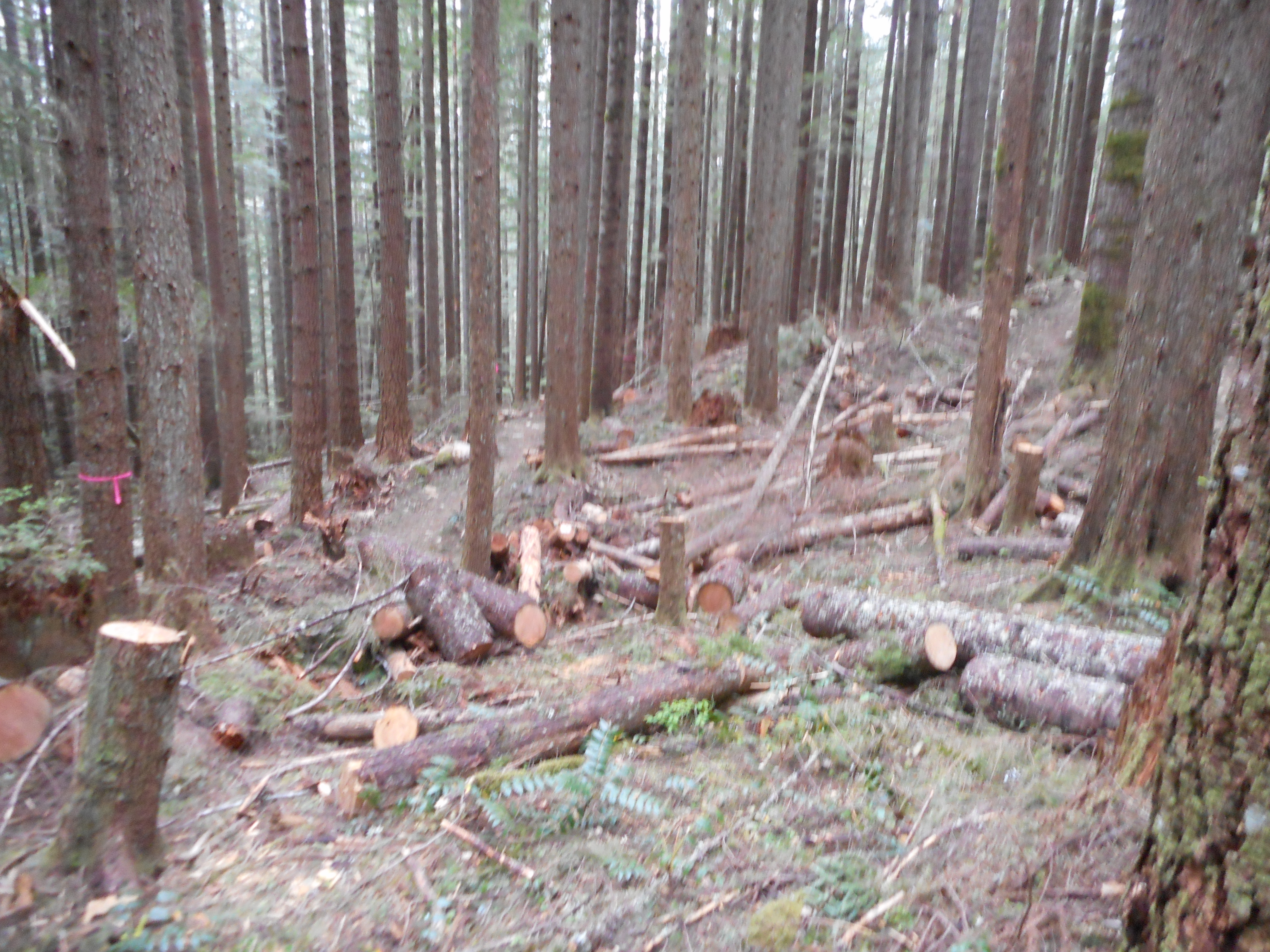
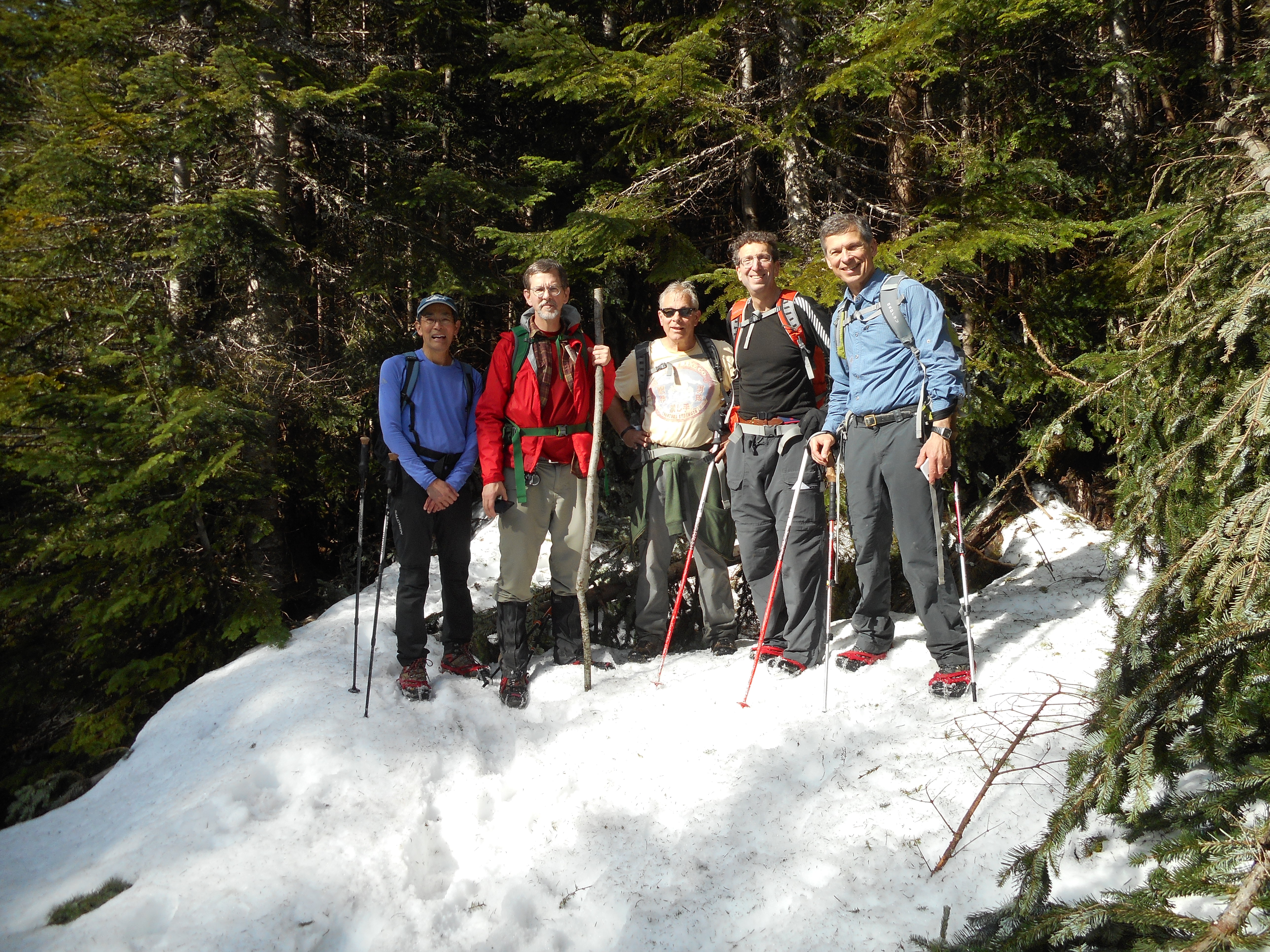
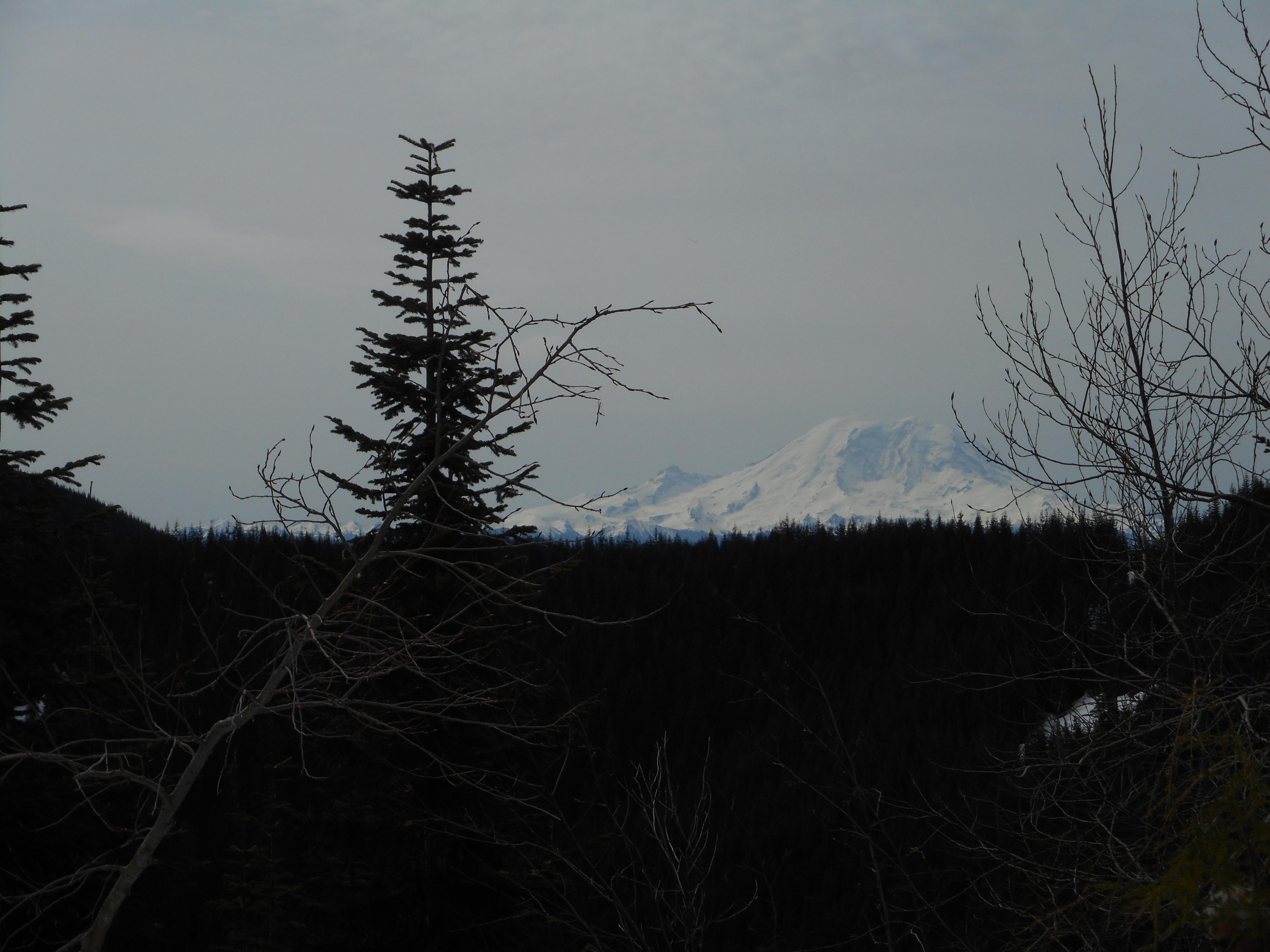
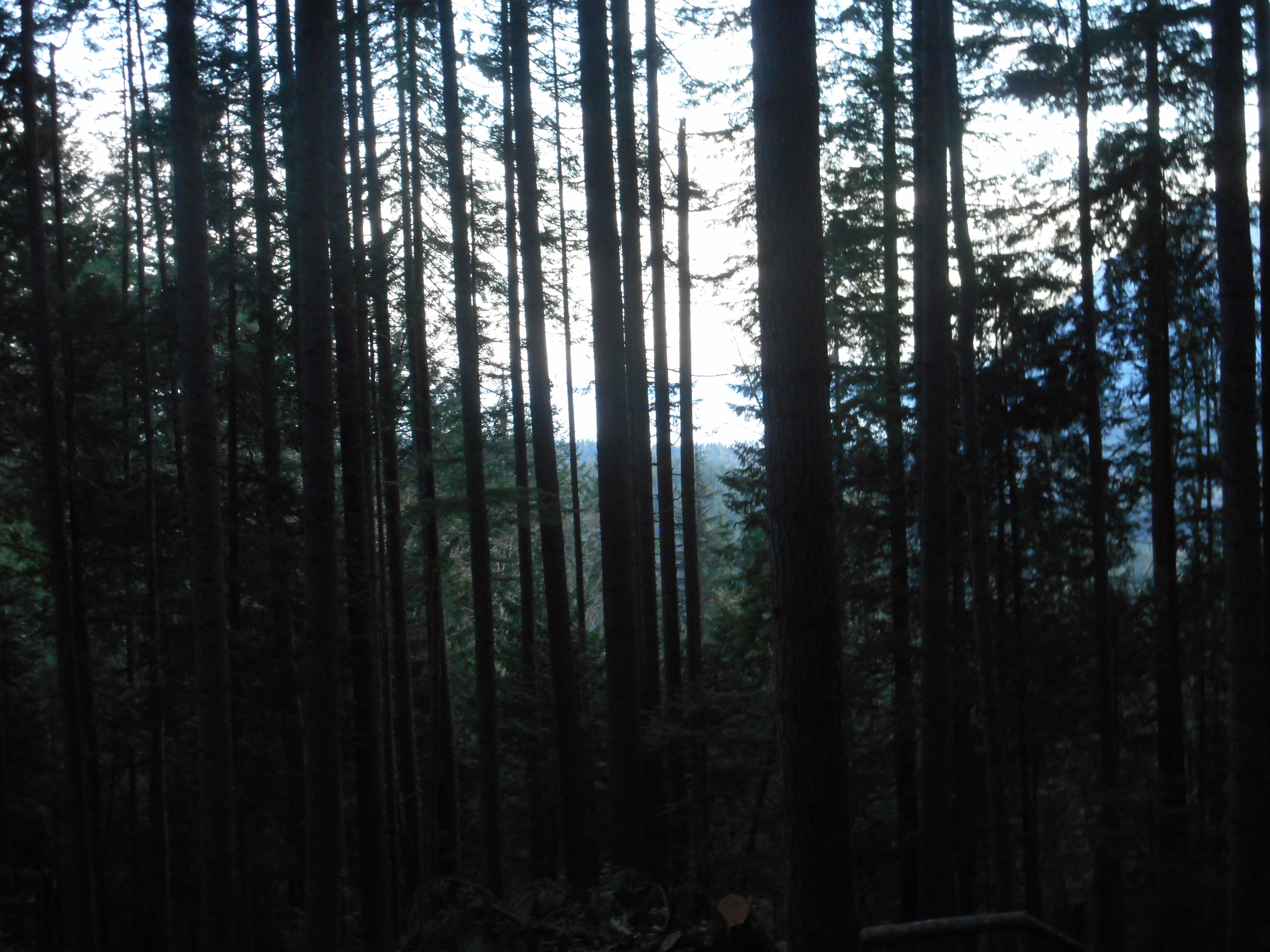
This was a tough hike.  We went up the Zig Zag trail to the junction with the forest roads.  You can go left on the immediate road and go back down (eventually) to IHT at Garcia, or cross the road (they are, as you can see in the photo above, not exactly roads in the sense we are used to experiencing, they are decommissioned forest roads) and go up to Truck Summit.  Or you can do what we did, we went right, expecting to summit Chester Peak at least.

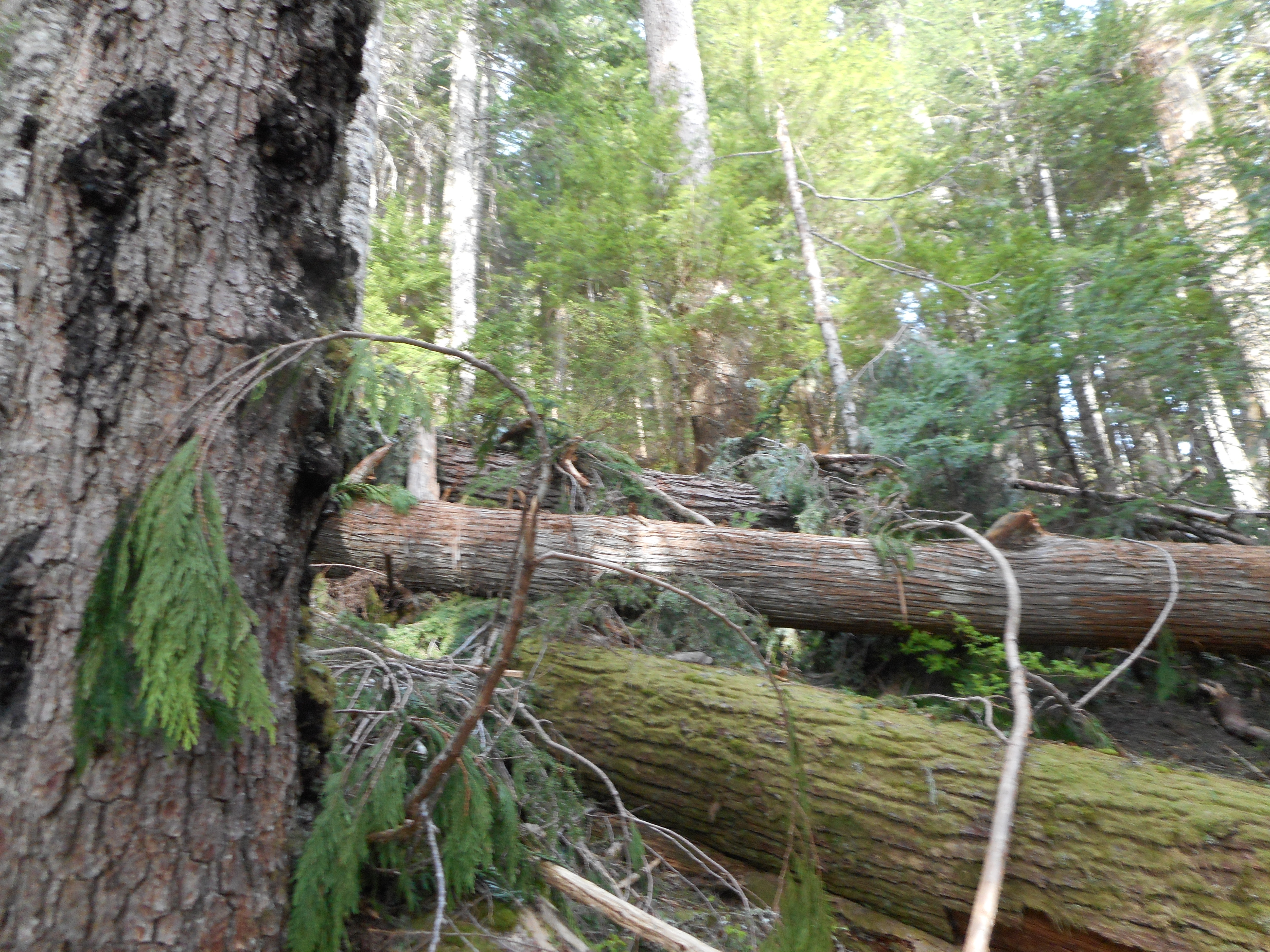
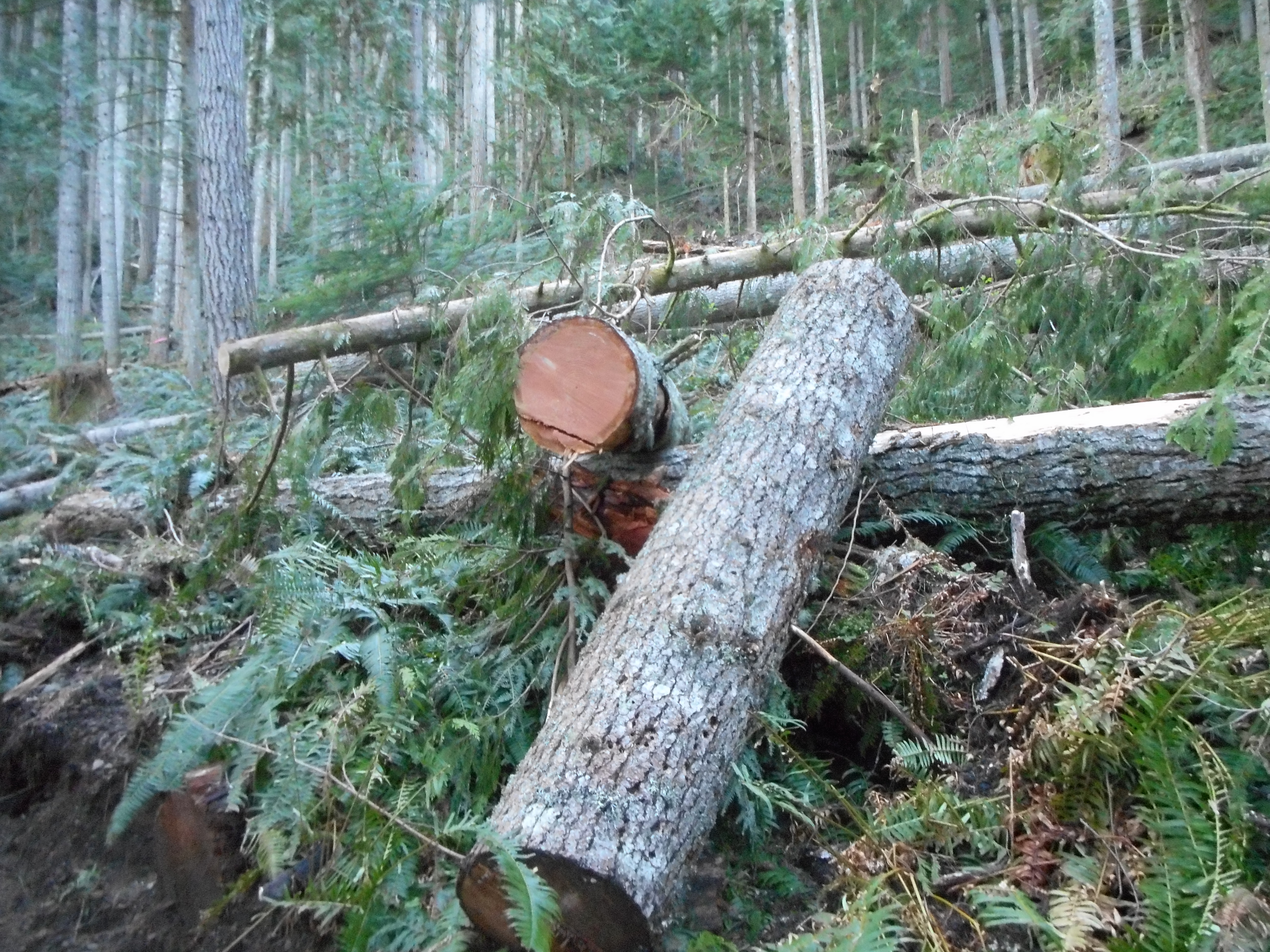
Boy, were we wrong.  We were stymied by four miles of the worst blow downs you can encounter.  We were making progress at far less than a mile per hour.  We had to zig and zag (ironically) across the trail to find little areas where we could squeeze by.

It was not fun but at least I got this area mapped.

Along the way, pretty much in the middle of now where we (Mark Garrett and I) found an escaped party balloon.  So that’s where they go!

Where balloons go to die

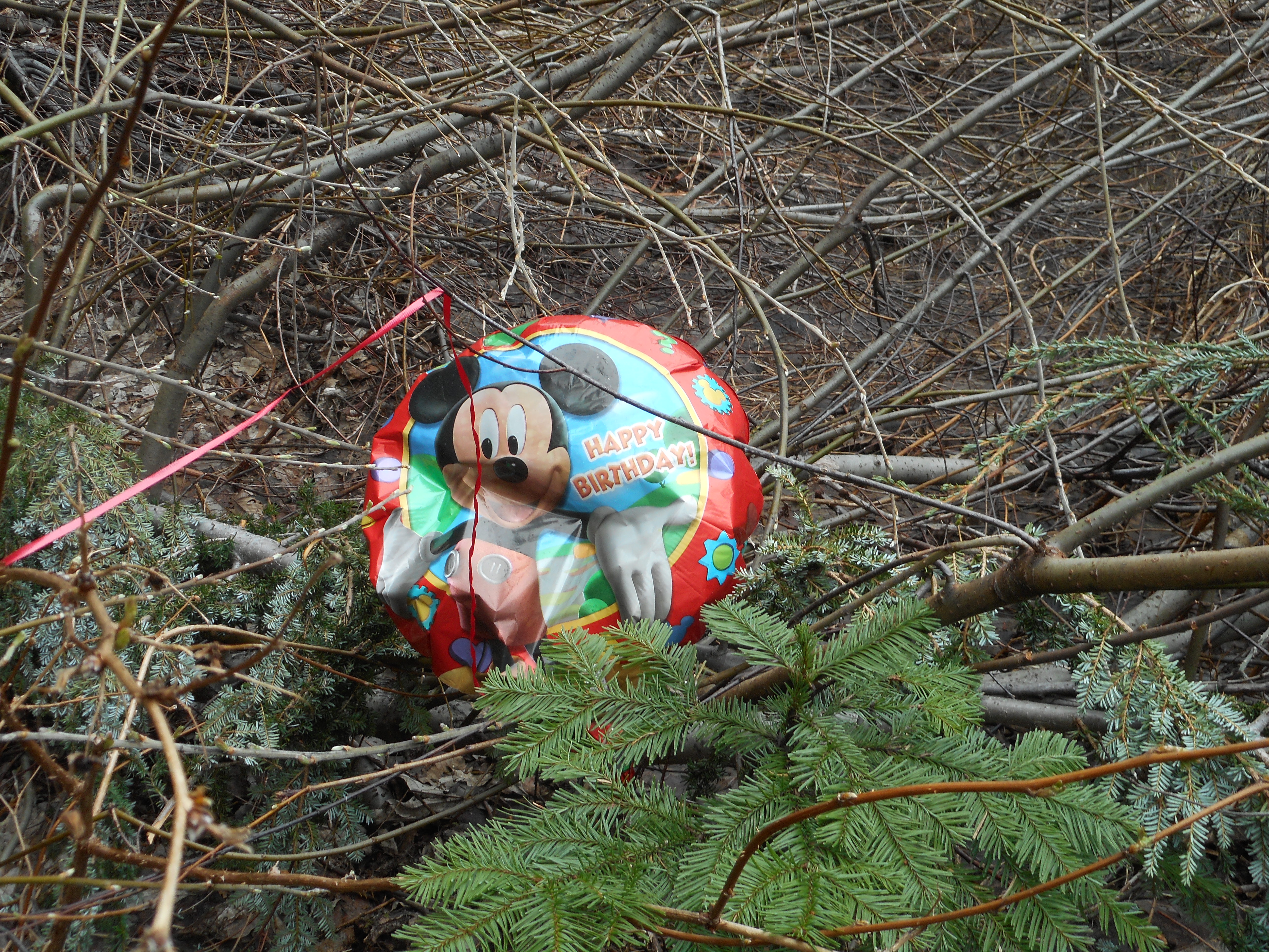
I think Mickey was laughing at us for doing such a tough hike, a hike that looks like a piece of cake on the map.

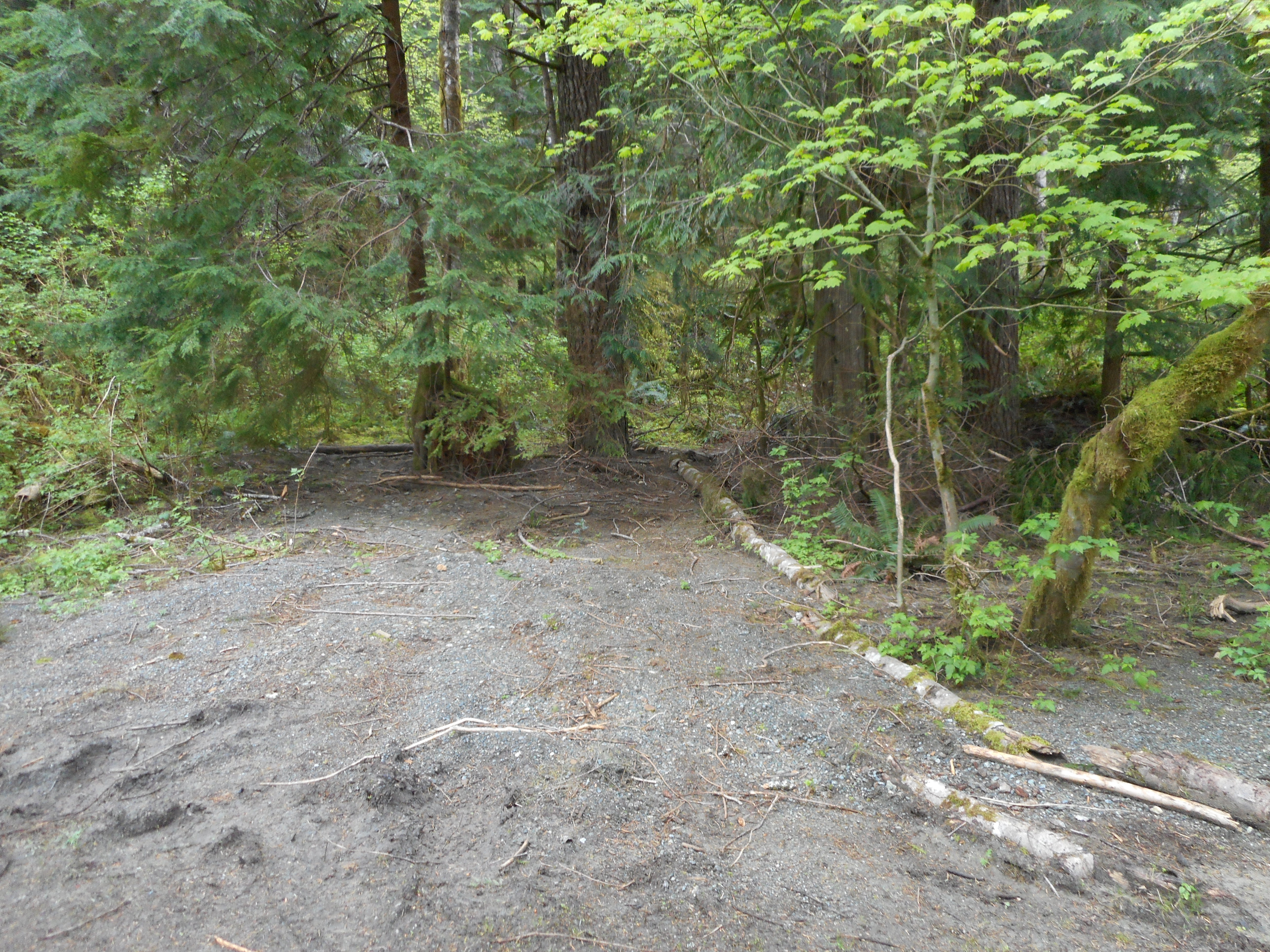
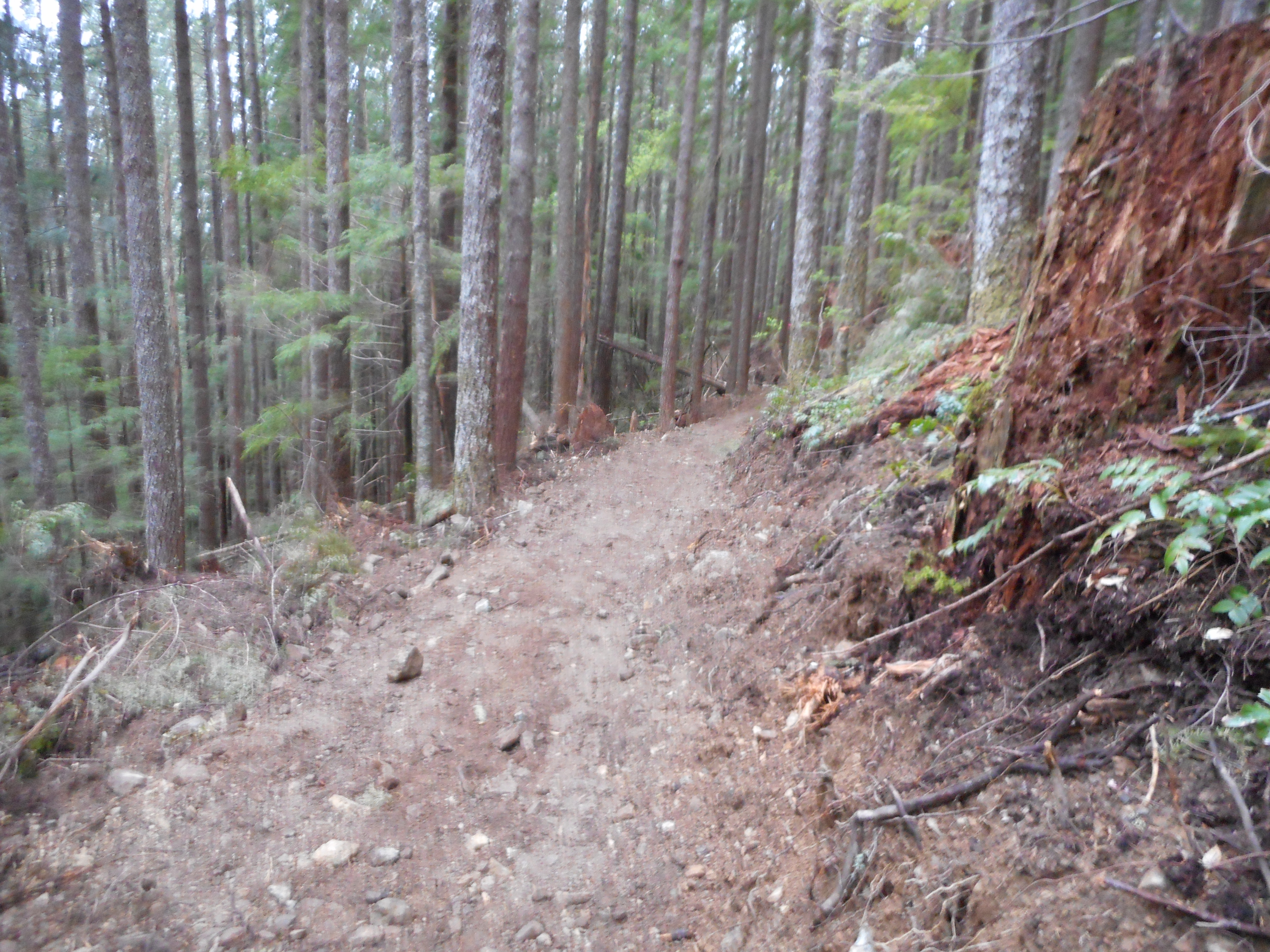
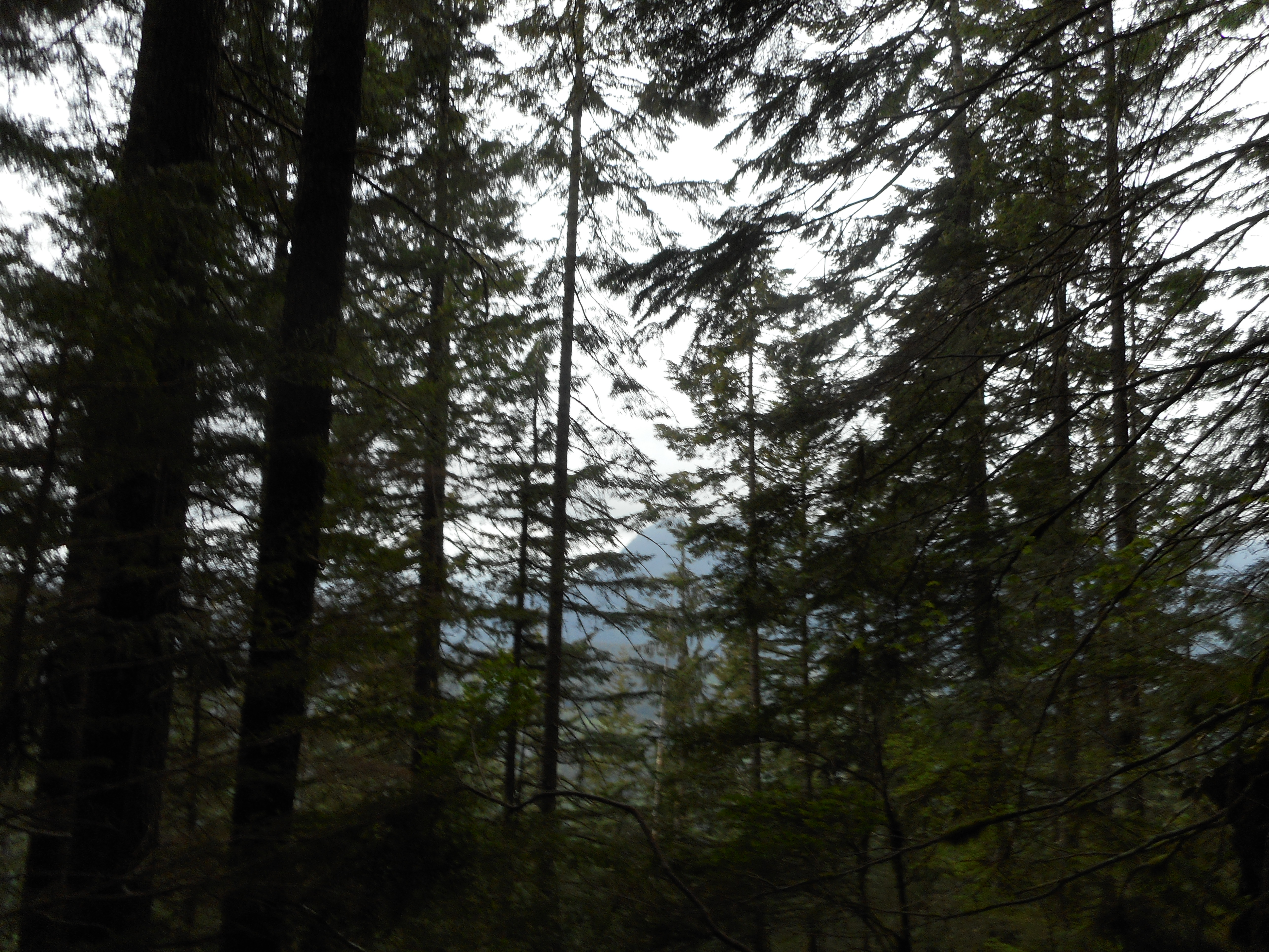
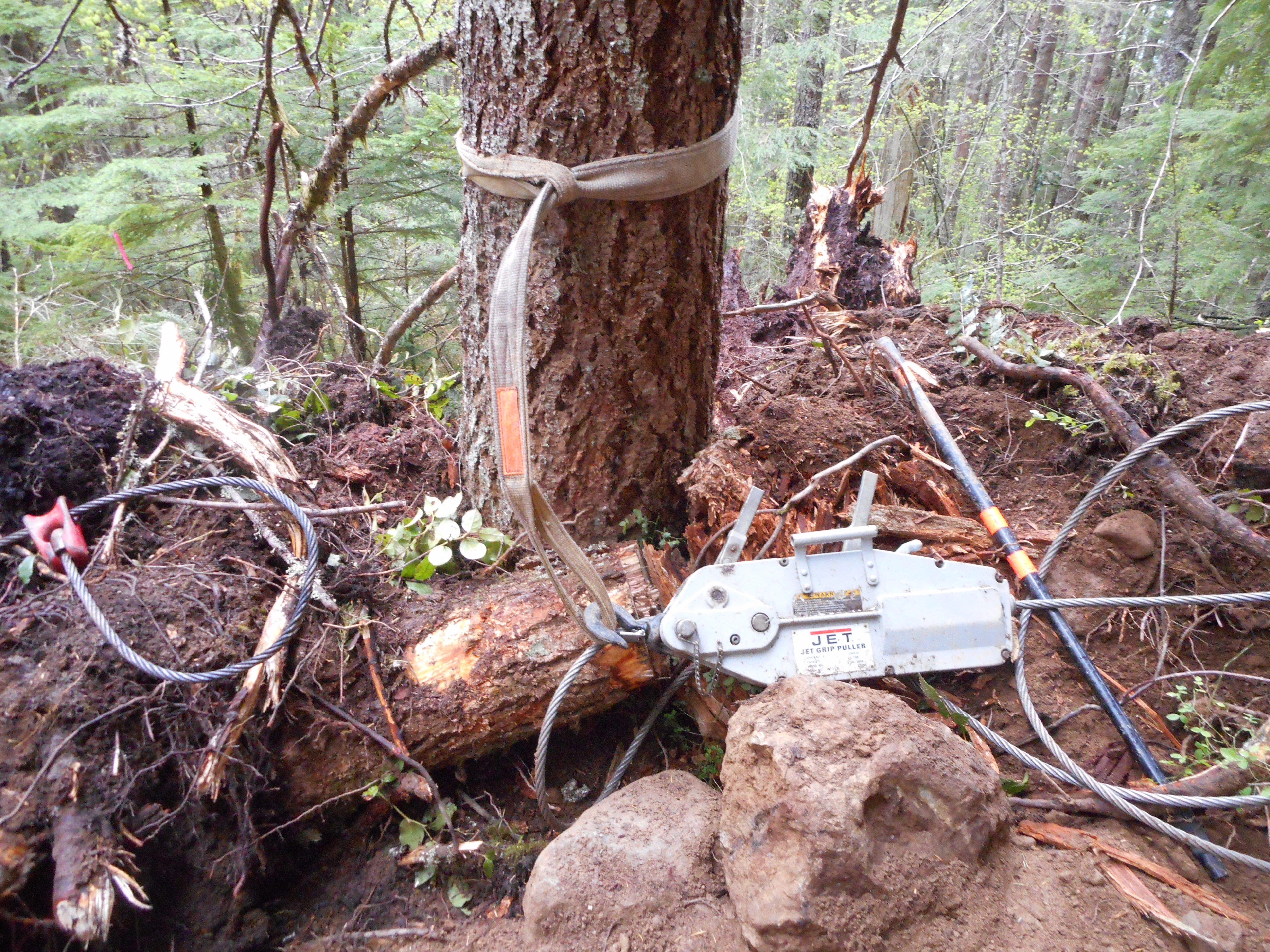
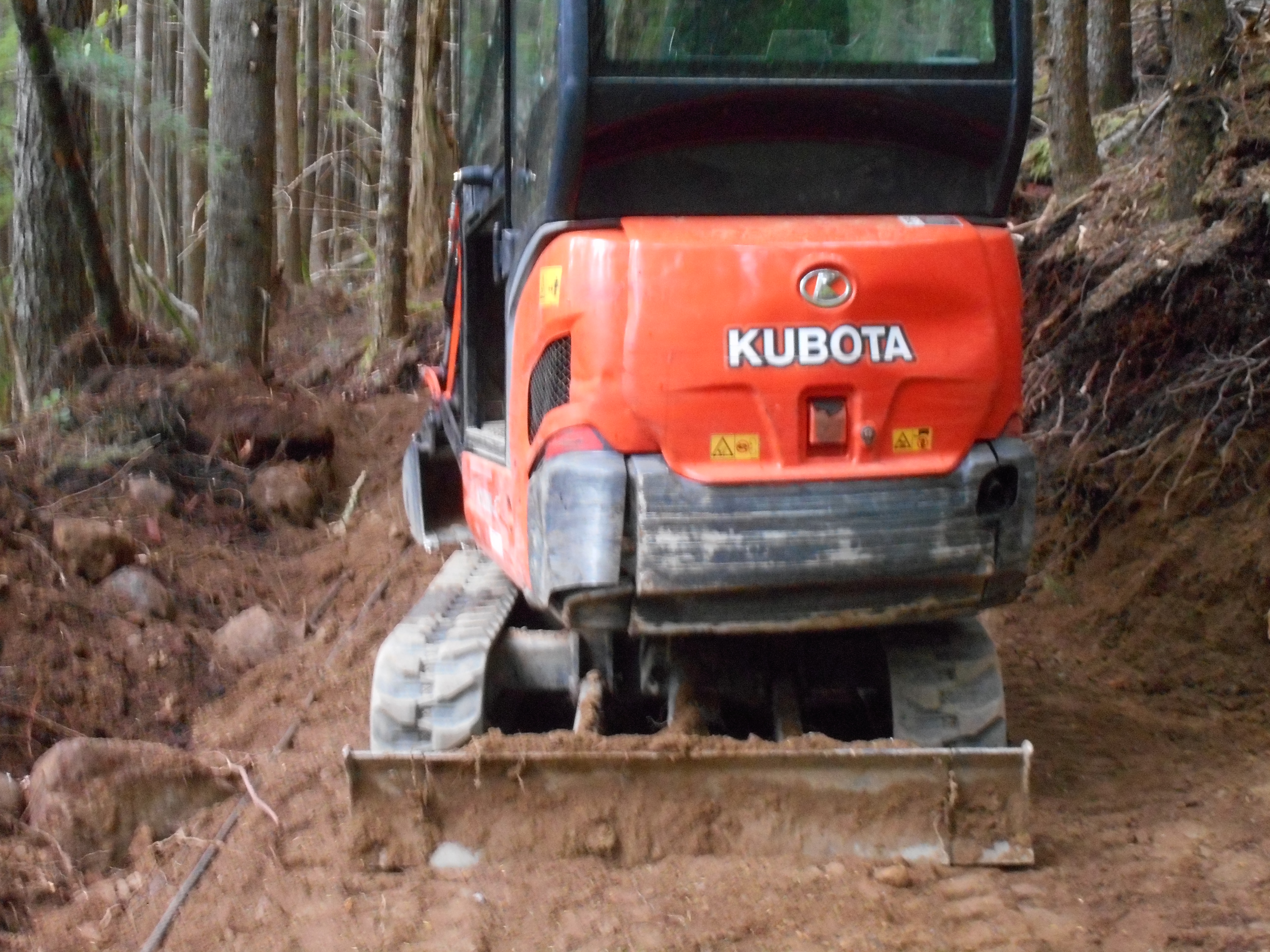
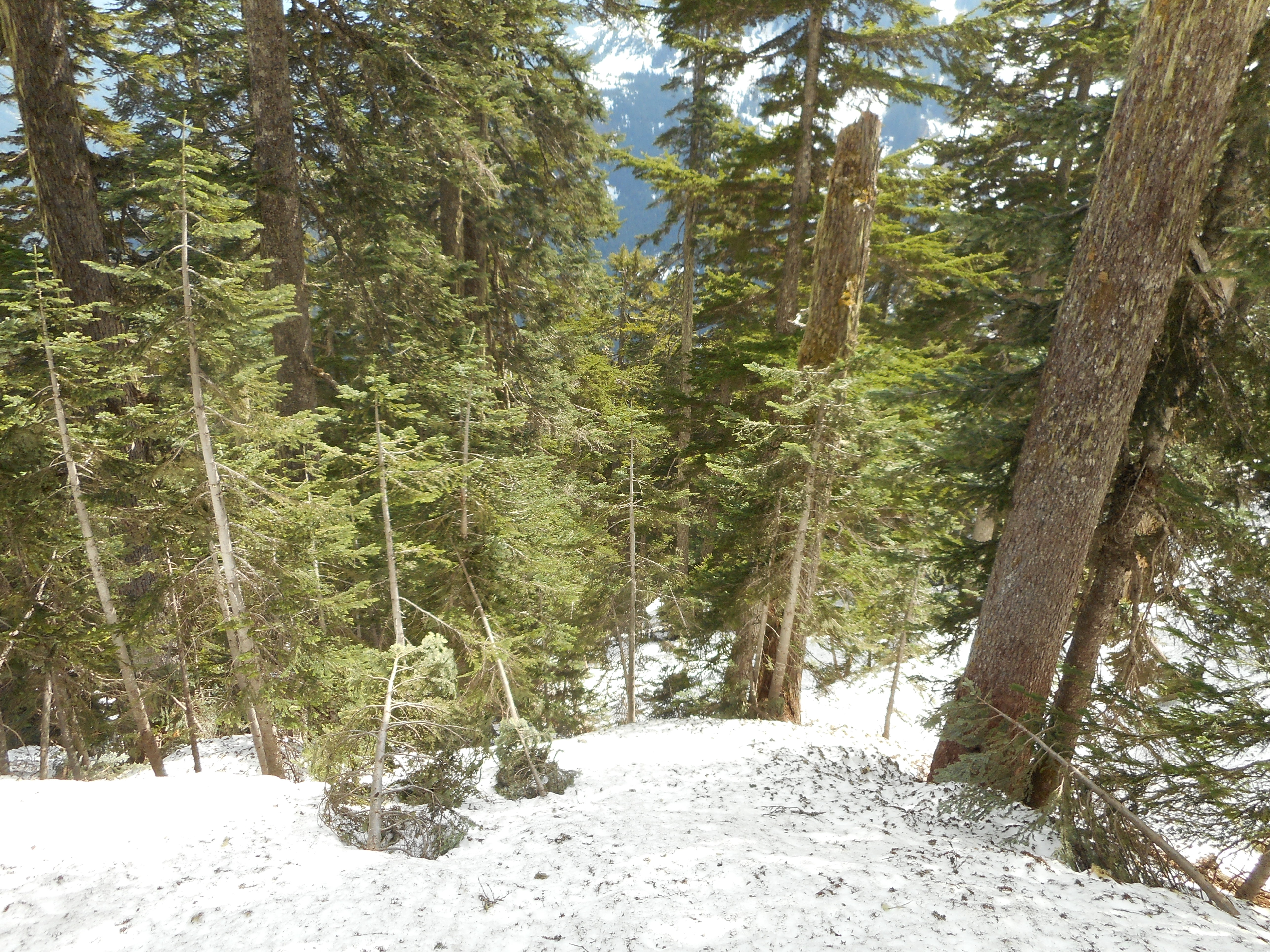
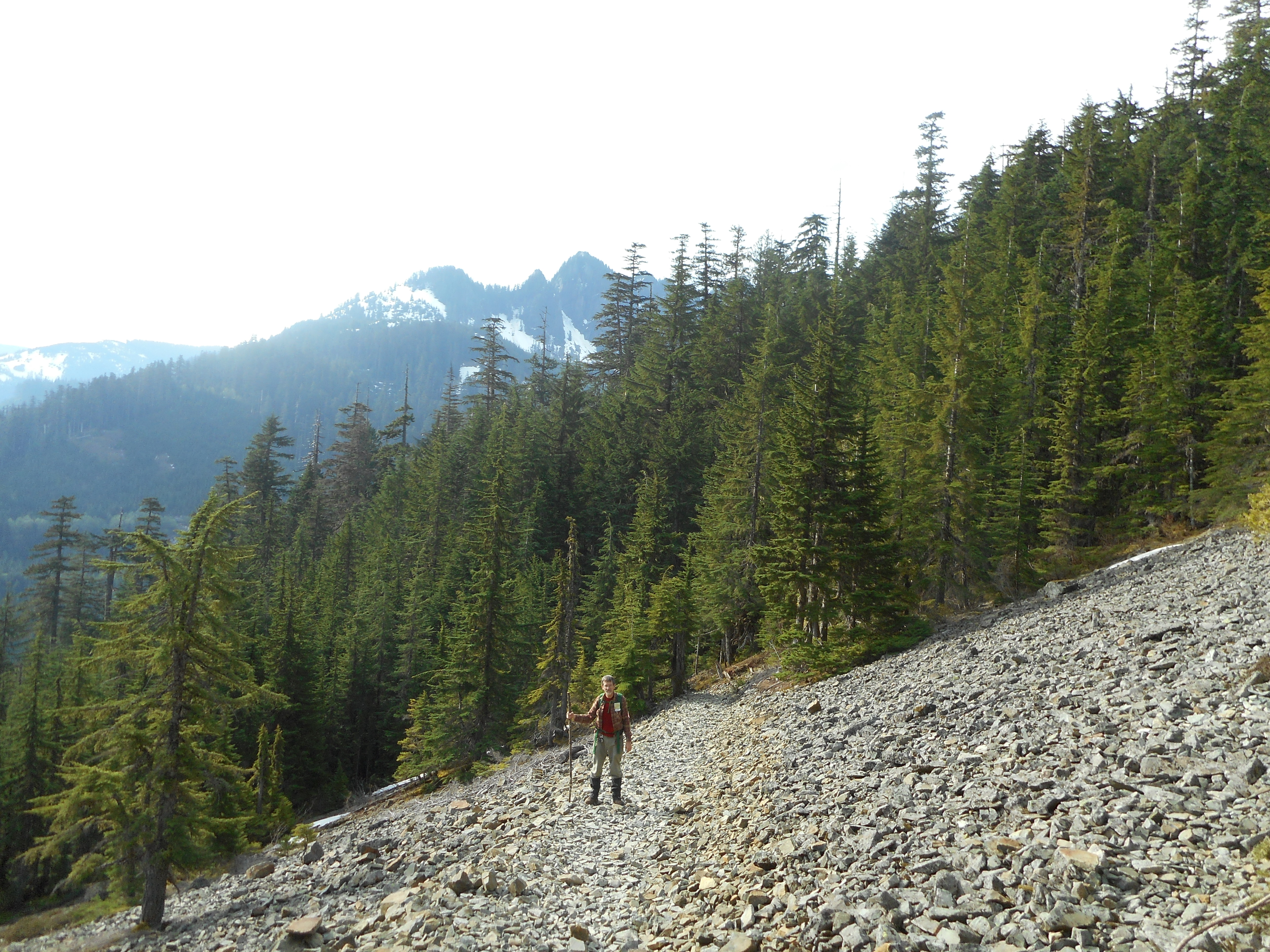
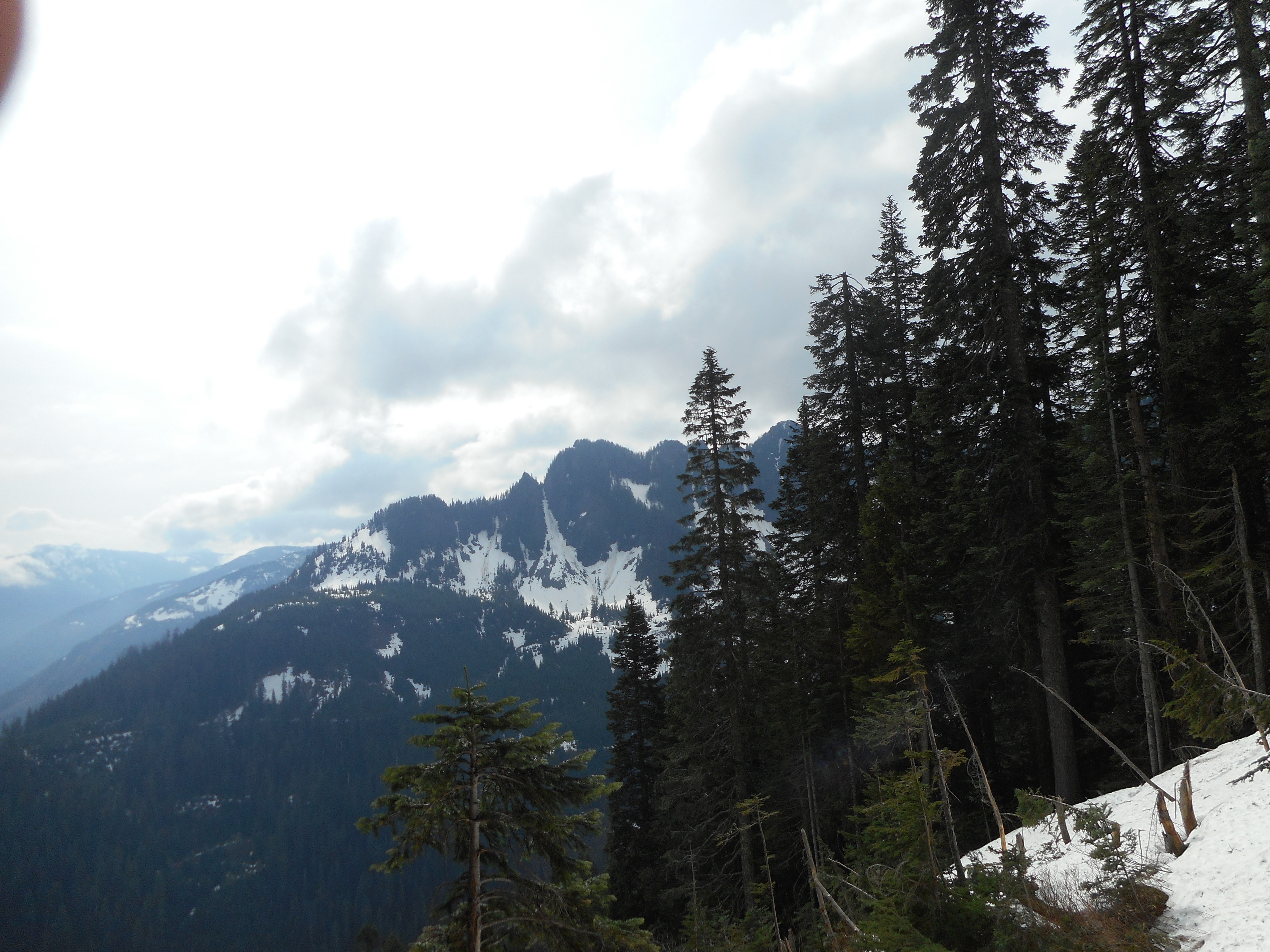
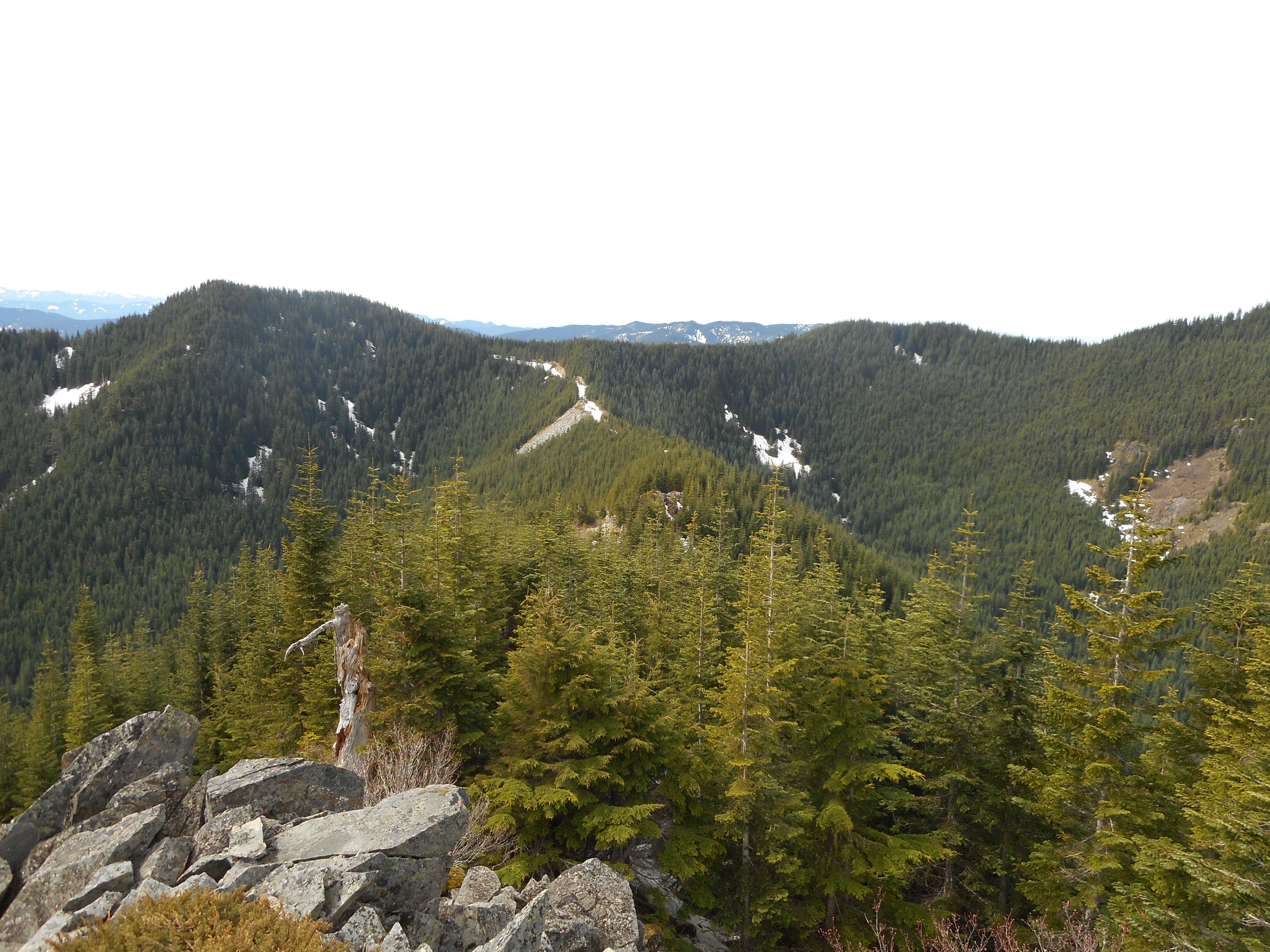
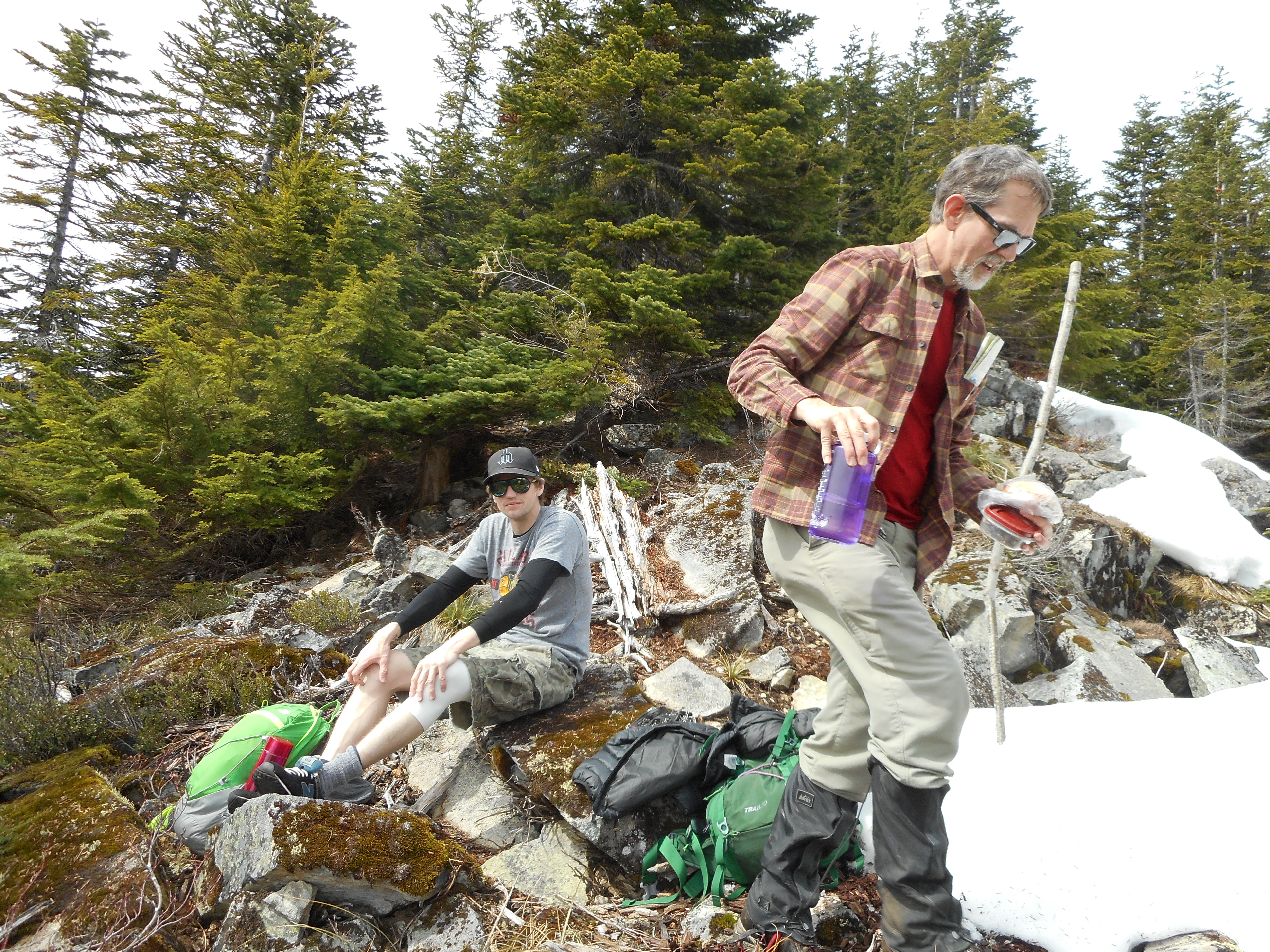
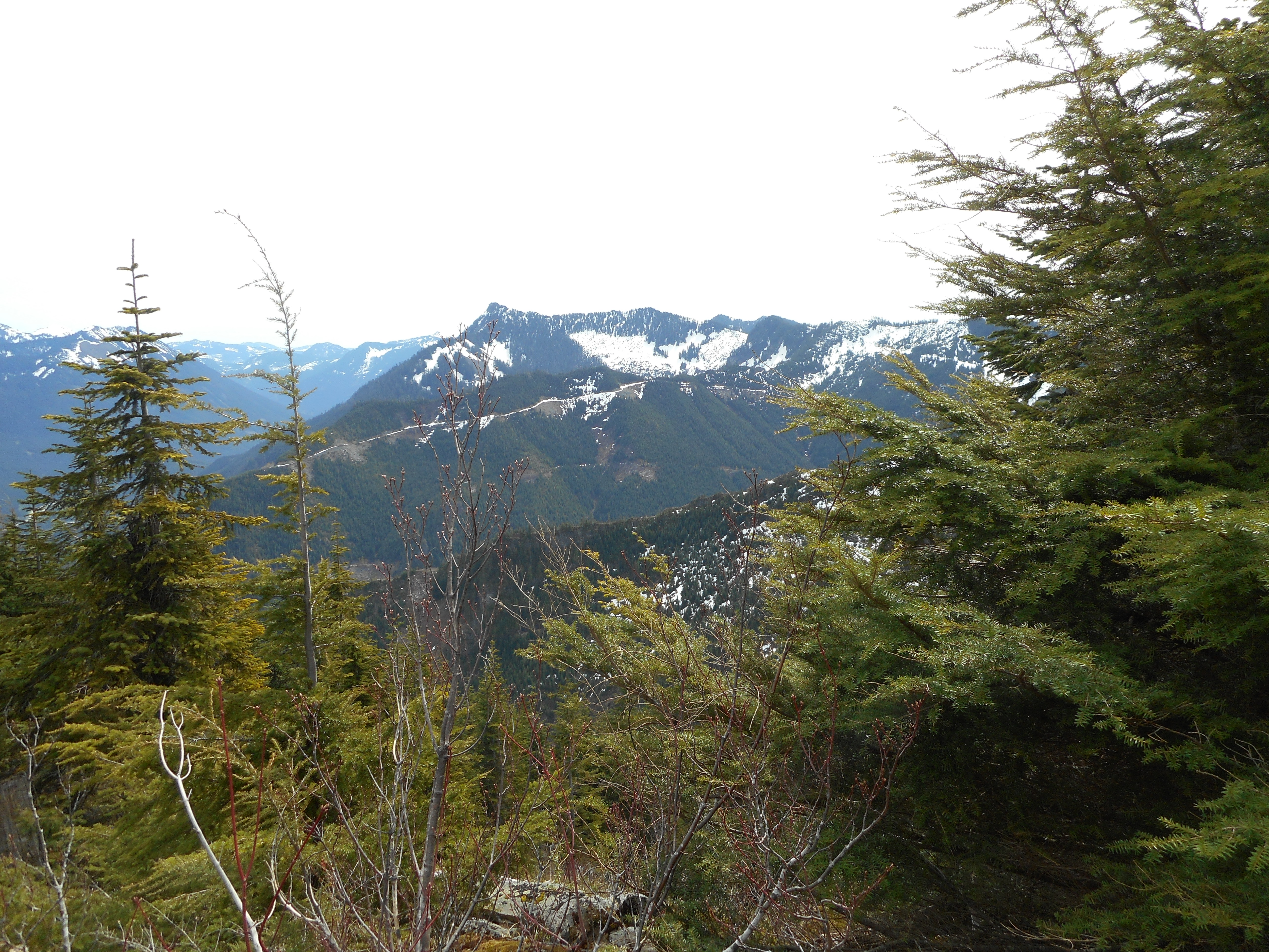
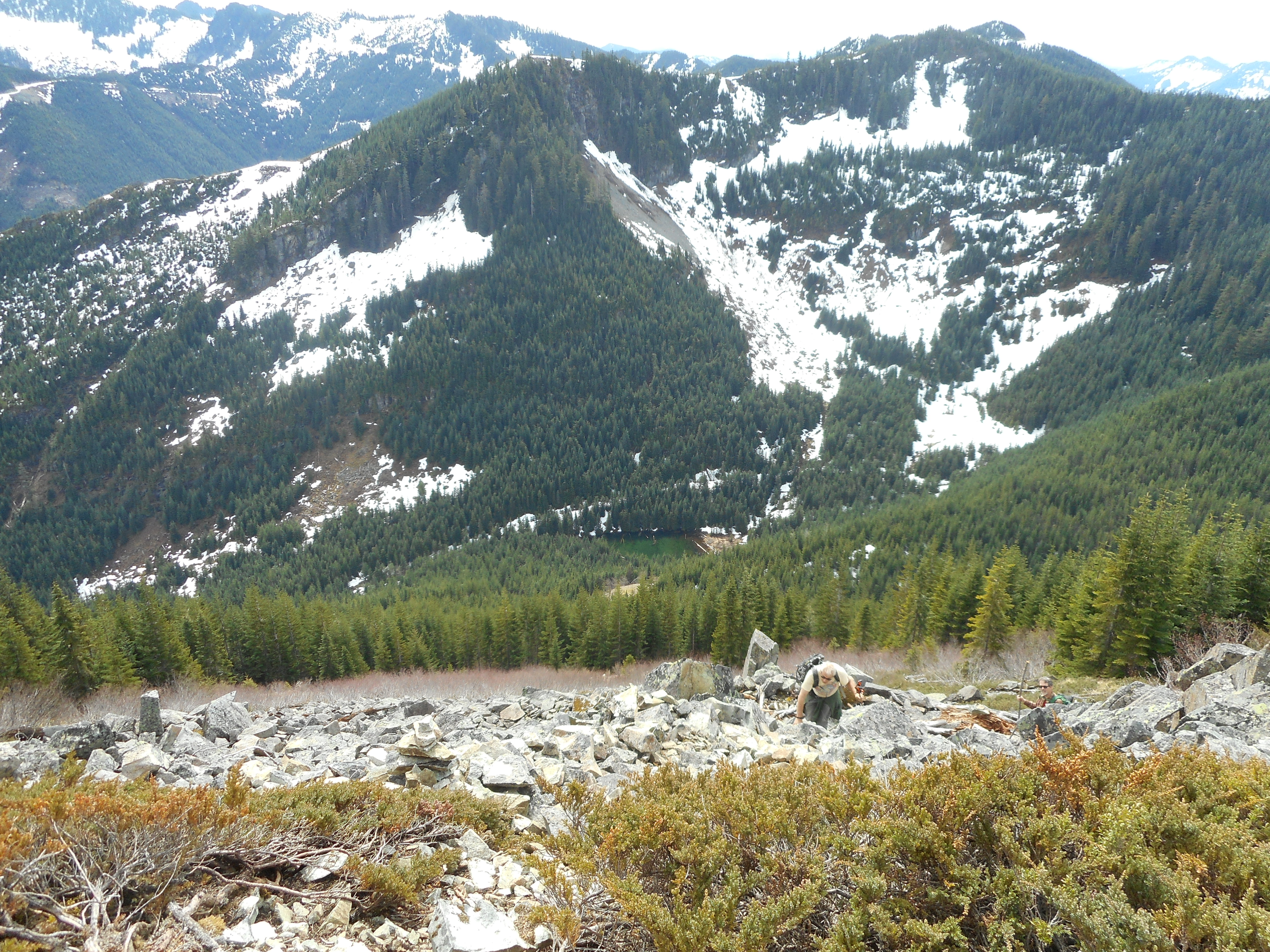
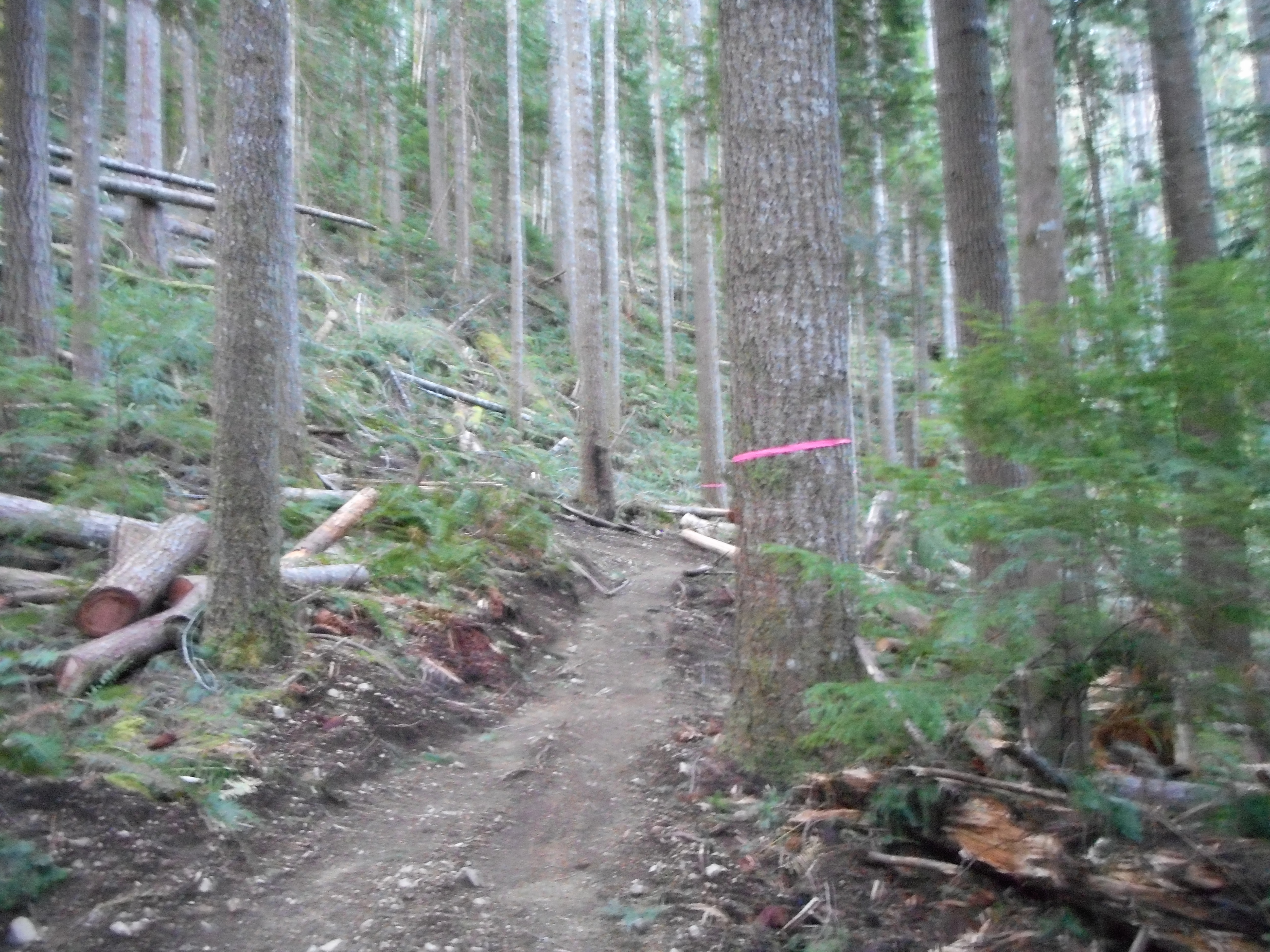
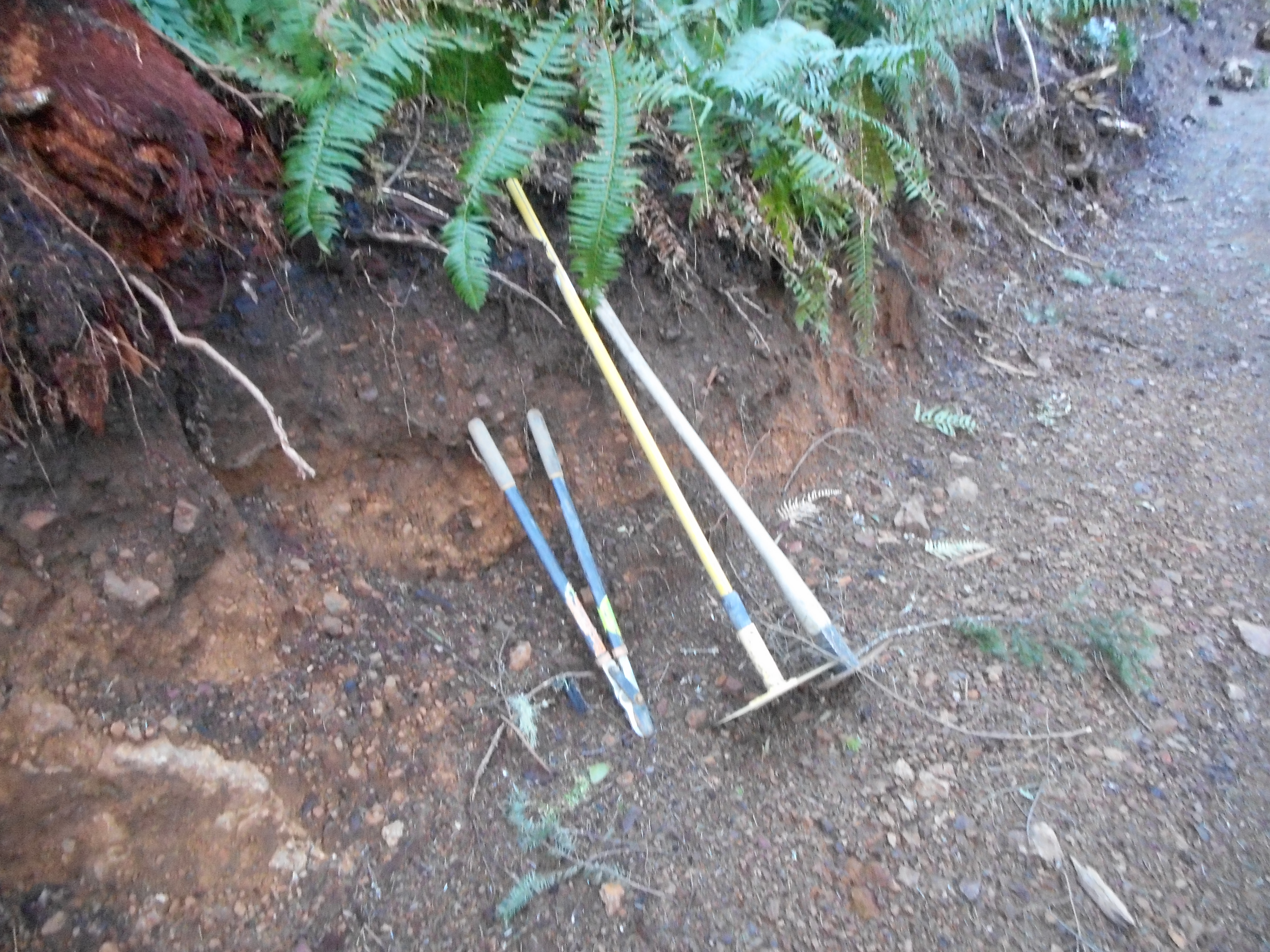
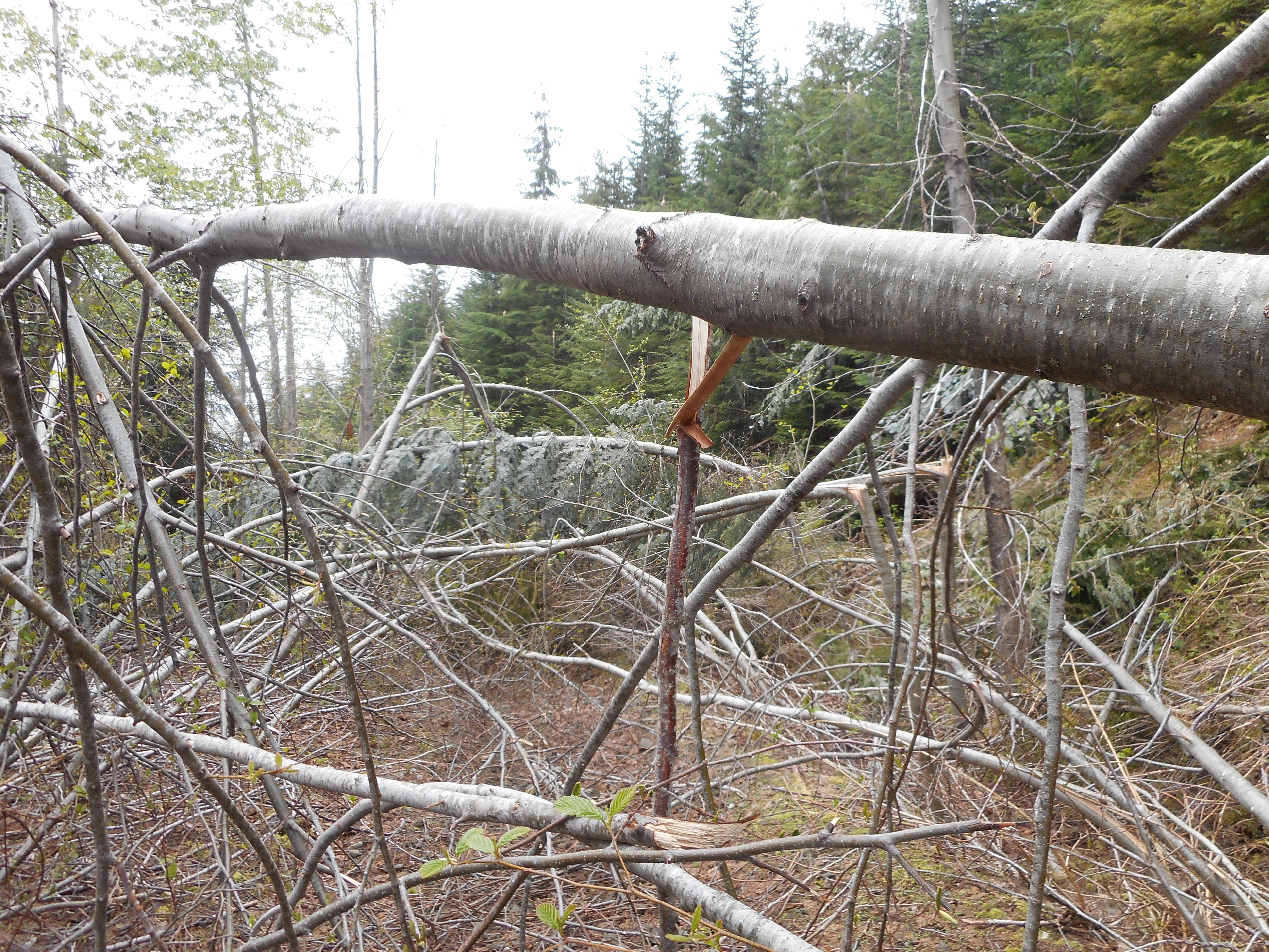
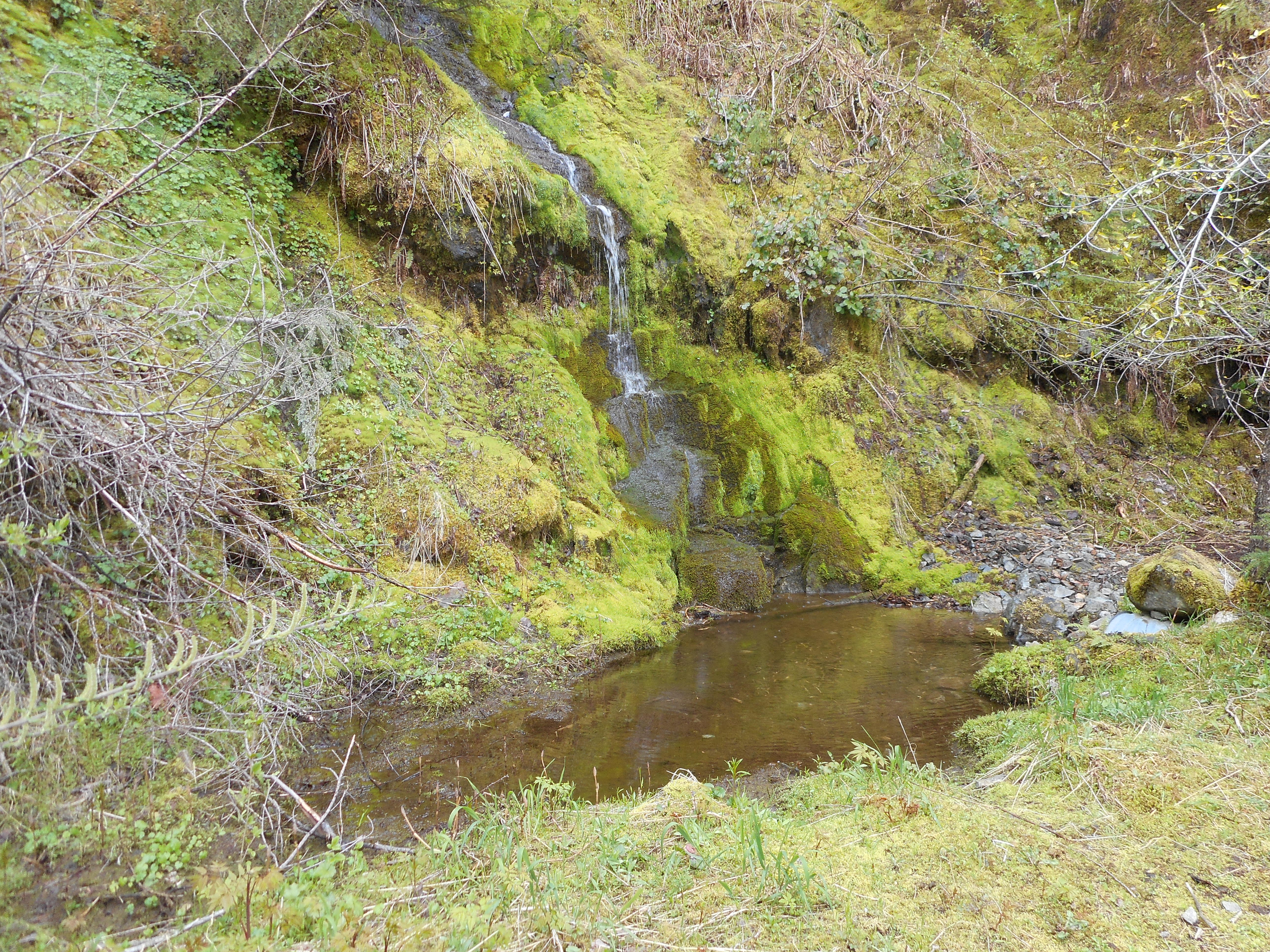
We did run into some interesting sights along the way:

Hidden waterfall and pond

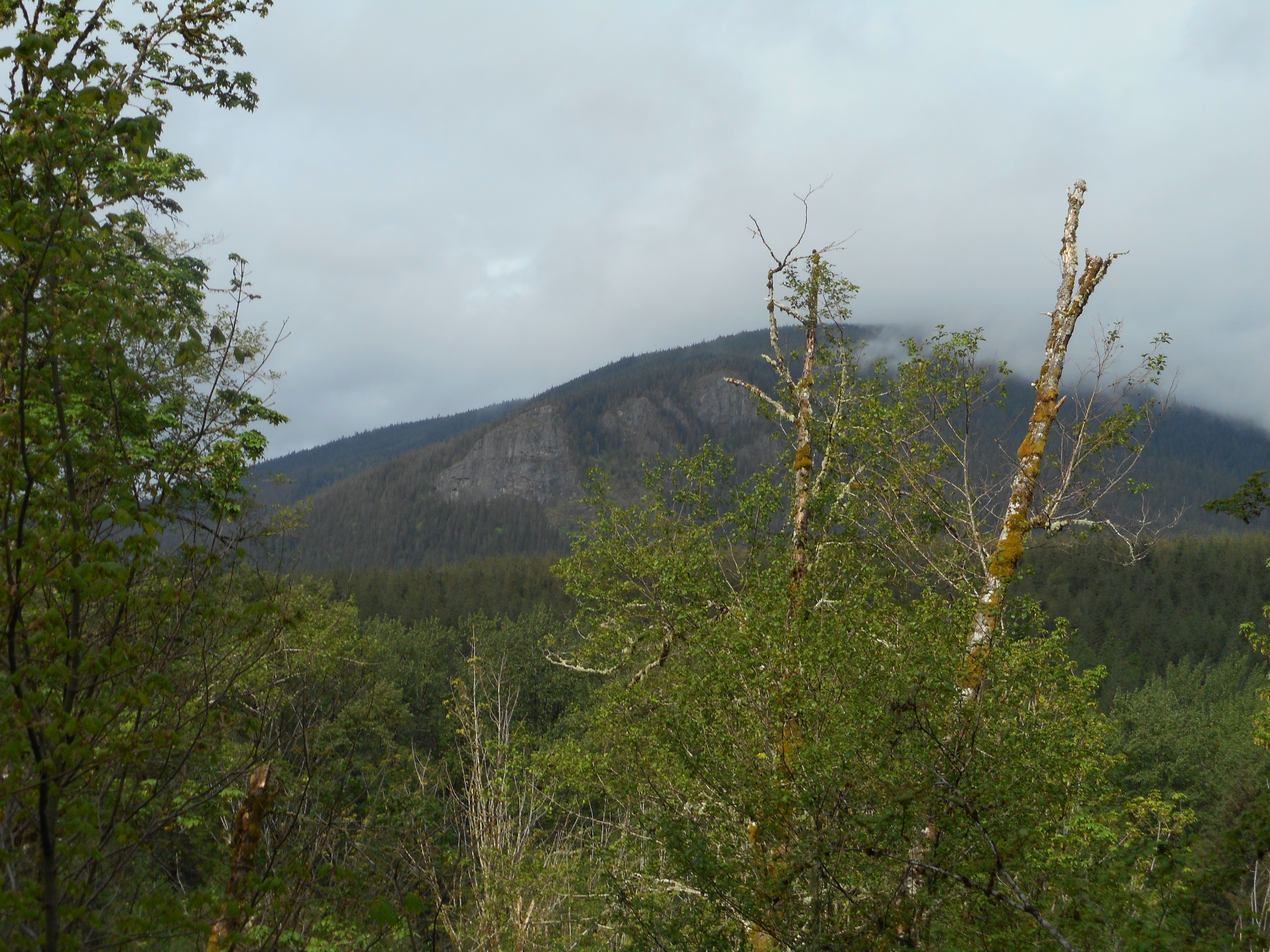
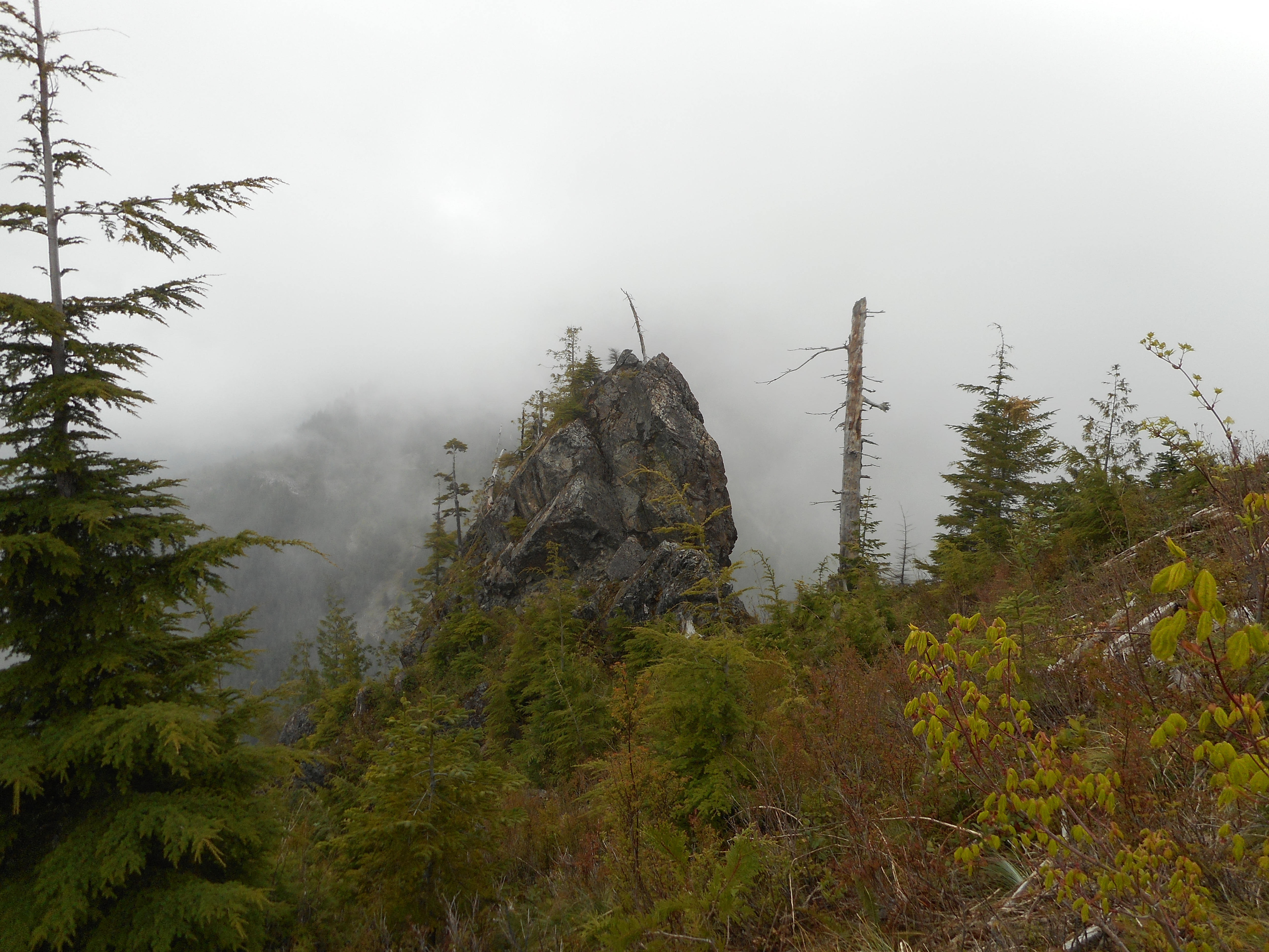
And this very very cool giant rock:

Rock in the wilderness

If Derek is reading this I can tell you we now know what happens when you go past J’s Landing.  The trail is steep and narrow but pretty good until it looks like it is gone.  At that point you bushwhack up a steep slope where you pick up the trail again.

Anyway, here is the visualization:

http://adventures.garmin.com/en-US/by/djhiker/zig-zag-and-beyond2/#.VyFHbpXlurQ

For some reason part of an earlier hike got into this track but the big loop to the east is what we did today.  About 8.3 miles that felt like 20 miles with all the blow downs.

I just hope some trail angel cleans it up.  Without all those branches and trees across the trail this would be a wonderful hike.

To the (current) end of Olallie Trail – 4/23/2016

The wages of trail building

I finally made it to the end (as far as they have worked) of the as-yet-unopened Olallie Trail.  If you look at the visualization linked at the end of this post you can see it ends about 1/3 of the way up the west slope of Mount Washington.

This is where you leave the IHT to get to the trail:

Start of Olallie from IHT

You can’t see it in this photo but just to the right of the two trees in the middle is a little boot path that leads past a lean-to created by the workers up to the Olallie Trail.

It is a wonderful trail – maybe not ready for business yet, but so far, so good:

Typical Trail View
Typical Trail View

From the IHT to the eastern end of Olallie is about 3.3 miles.  Another 2 or so to the parking lot, plus a little side-trip and today’s hike was a pleasant 11.2 miles.

Si through the trees

Above is probably the best view from this trail right now.  Once it gets closer to Mt. Washington the western and southern views will open up.

There is a lot of equipment along the trail, including this, which was winched around a tree, as if waiting for Monday morning to pull it down:

Tree-pulling gizmo
Tree-pulling gizmo

Just out of this frame was another excavator like below, I presume the device is connected to the excavator and then pulled.  Tough job those folks have.

Under construction
Under construction


Cloudy Rattlesnake Mountain

On the way back, going west on IHT, it was a little cloudy and Rattlesnake Mountain looked kind of cool.  Perfect day to hike, 50ish and not real sunny.

I will be going back from time-to-time to measure the progress.

Visualization:

http://adventures.garmin.com/en-US/by/djhiker/olallie-trail-4-23-2016/#.VxvQmpXlsbw


Attempt at Mount Kent 4/21/16

Blow Downs
Blow Downs

The blow downs, which were numerous (a common theme this winter and spring) were not what stopped me and Mark Garrett from reaching Mt. Kent summit.  There was just too much snow.  We kept losing the trail:

Where the heck is the trail?
Where the heck is the trail

We had to scramble straight up the side of the mountain on several occasions.  Once, we found our progress stymied by a cliff that led to a waterfall.  We scrambled straight up from there.

I think this is not a hike that can be done with so much snow around.  We will try it again later in the year.

Mark in the talus field
But the views are nice

So, if reaching your goal is a requirement for success, we failed.

If getting a vigorous workout (and how!) and having fun are you goals, the hike was a success.

Mark’s trip report on the WTA website:

http://www.wta.org/go-hiking/trip-reports/trip_report.2016-04-21.4230816775

Visualization of the hike:

http://adventures.garmin.com/en-US/by/djhiker/trying-to-get-to-mount-kent/#.VxqRlJXlsbw


Change Peak w/Derek and Mark 4/16/2016

Change Peak Summit
Change Peak Summit

Derek and I planned to meet Mark Garrett at the eastern-most Exit 38 parking lot at 7:30 and that is about what happened.  At the same time, three hikers parked nearby and asked us directions to Hall Point.

We were planning to hike right by Hall Point and I started to explain the route, but it does get complicated so we decided to join up for at least part of the journey.  They were three very nice guys and perhaps we will meet up again sometime.

Me, Mark and our new trailmates

Mark is second from the left.

We wound up going up the Change Creek trail, bushwhacking across an area with a pond (there is a trail but the blow downs and snow obscured it), up to the Great Wall trail and from there to Change Peak.

Derek and Mark
Derek and Mark

Derek and I went back down Great Wall to Mt. Washington trail because Derek’s knee started to complain.

Mark went on, going further south on the Great Wall and ultimately to Greenway Mountain and then back on Mt.  Washington.  When he posts his trip report on WTA.org I will update this post and link to his report.

Derek and I did over 4K elevation and 12.5 miles, Mark has to have beaten that by at least 5 or 6 miles and 3K elevation.  Great job!

Looking east
Looking east
Scrambling
Scrambling
The Maestro
The Maestro

On the way down we ran into a series of tracks we could not identify.  Not big enough to be a bear, didn’t look like a Coyote, Derek thought it might be a bobcat or smaller cougar.

Mystery tracks
Mystery tracks

Here is a link to a Garmin Adventure visualization of our hike:

http://adventures.garmin.com/en-US/by/djhiker/change-peak-via-change-creek-trail/#.VxORkZXlsbw

Bottom line is that we had a great time (pending diagnosis of Derek’s knee) and it was wonderful to actually do a real hike after months of poking around at the edges.  Weather is improving, there should be a ton of great hikes coming up.

UPDATE 4/18: Mark’s trip report.  Long day for Mark, epic hike:

http://www.wta.org/go-hiking/trip-reports/trip_report.2016-04-17.6257045919


Finding the Olallie Trail 4/2/2016

Pink ribbons mark the way

I finally found the so-new-it-isn’t-opened Olallie Trail.

As I suspected, the bush-whacking path to the trail, which is clearly still under construction, intersects Iron Horse farther east than where I stopped looking last weekend.

The trail currently ends just a little bit west of where I hit it.  I followed it west for a few hundred yards, where it ended.  I could see the pink ribbons ahead.  Based on the map I found of the projected trail, they don’t have much farther to go to extend it to IHT.  However, they may be waiting to open it up until they have finished grooming it.

They are still at it – I found some of their tools along the trail:

Trail trimming tools

The trees they have felled to make the trail are piled up at all angles:

Clearing the way
Clearing the way

The part of the trail I hiked Saturday is all in the woods, which has its splendid moments:

In the woods
In the woods

But I am looking forward to going back and following it to at least Mt.  Washington.  I have no doubt this trail was built from east-to-west and I am pretty sure I know where it joins the Mt. Washington main trail.

Getting to the end of this trail is definitely on my ‘to do’ list.