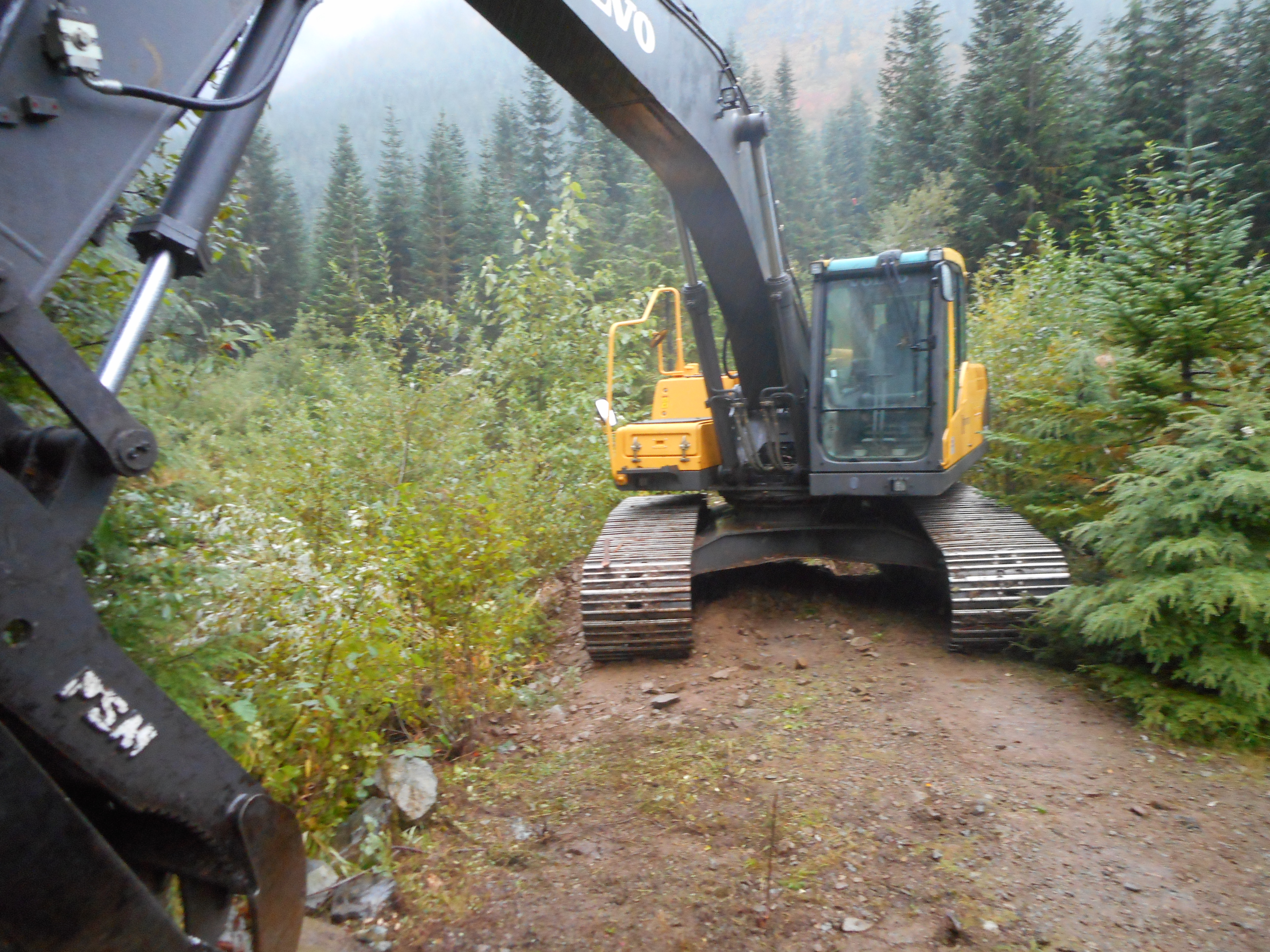
Imagine my surprise to meet this monster at the junction of the main trail and the north trail – ‘the pond’ as we refer to it.
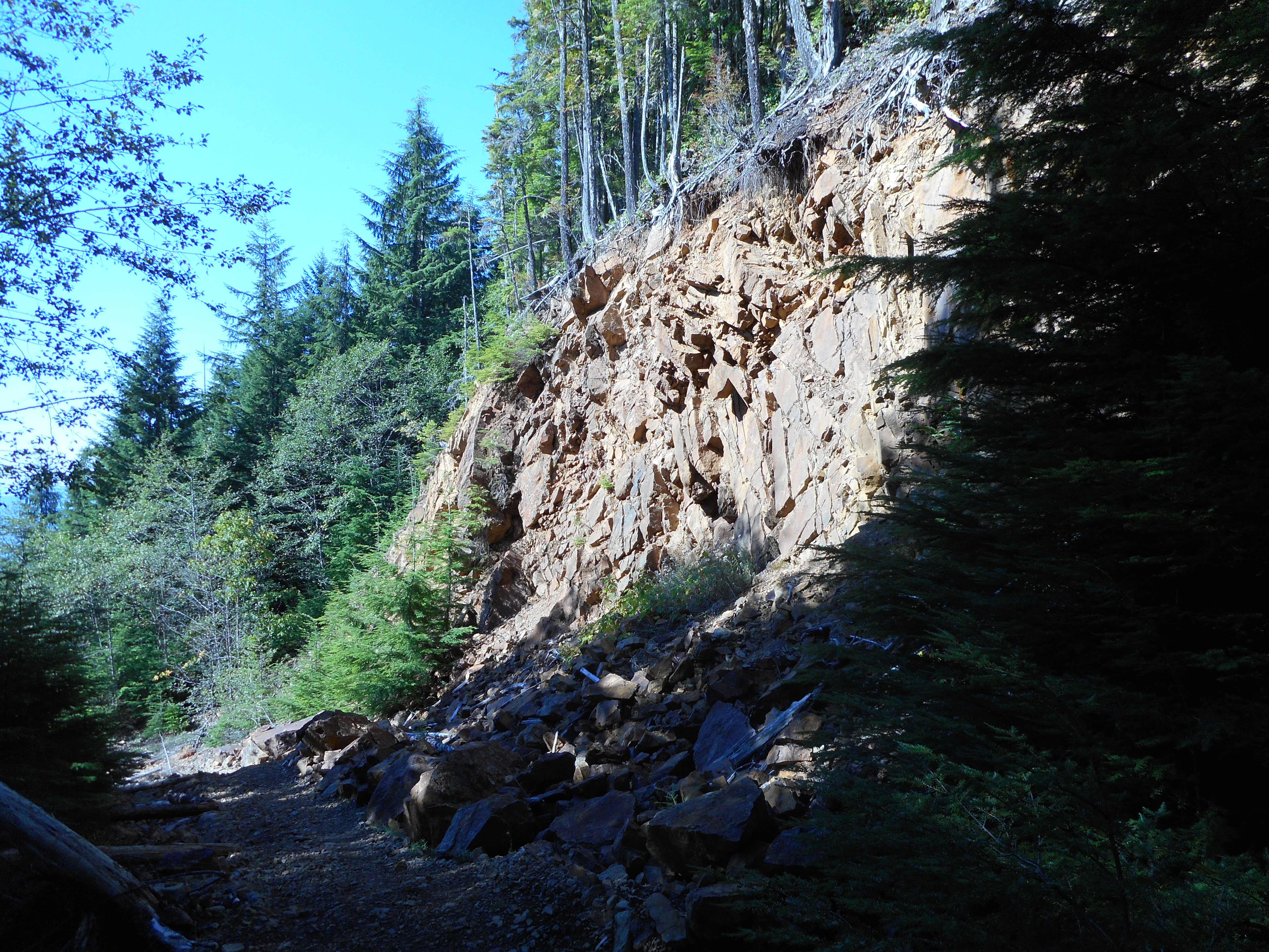
But it isn’t a logging disaster, they are making a new trail, this one from Cedar Butte 4.5 miles west to (at least) McClellan Butte 5.5 miles east. From the looks of what I saw today, I would say it is going to be targeted at horseback riders and bikers more than hikers.
But when it is open we will find an off day and time to do it and we will check it out.
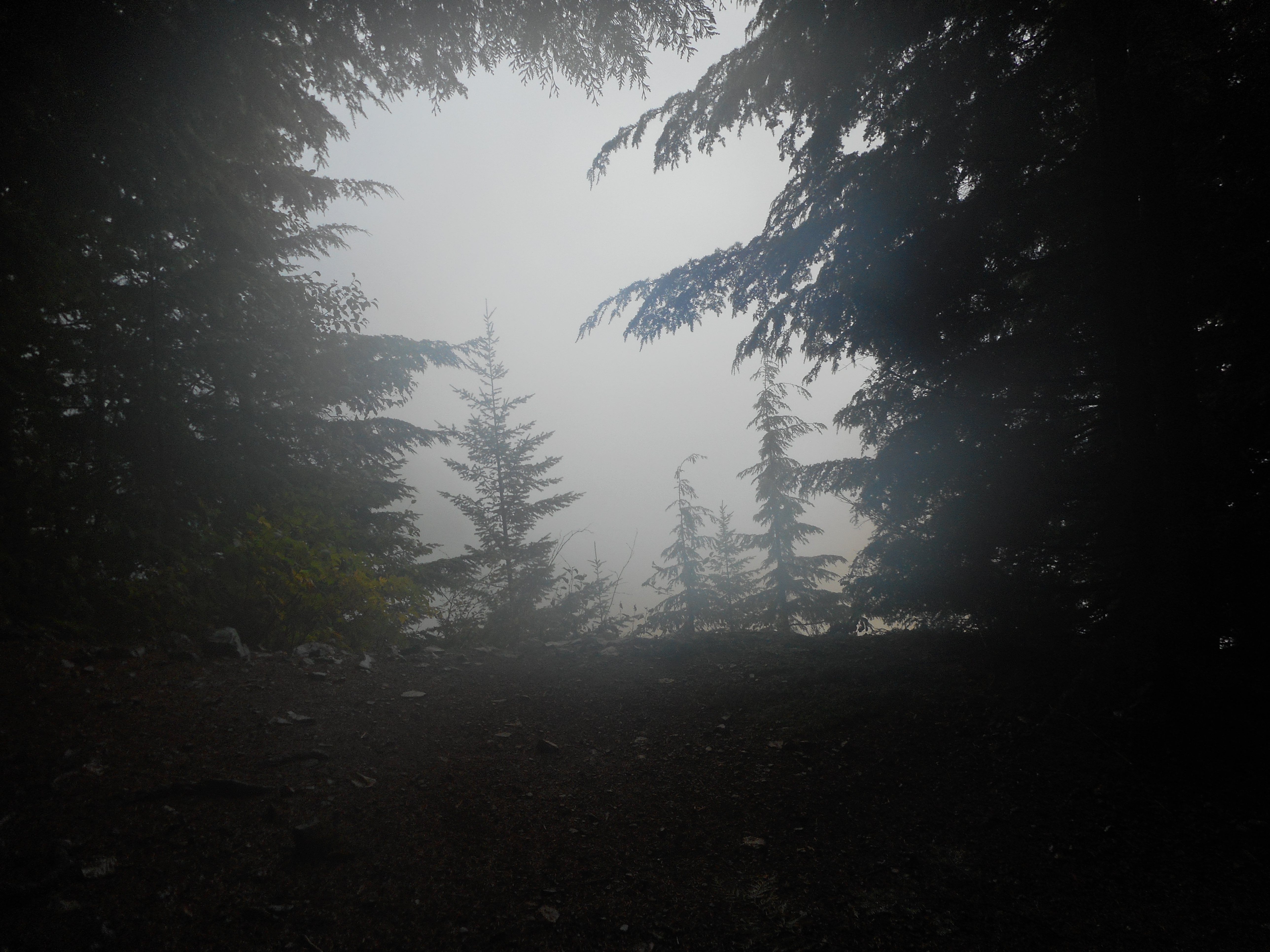
In the meantime, I got totally soaked today. It was a nice workout, 2:15 up and 1:50 down for a time car-to-car of 4:05.
Not much in the way of views today, it was just a tough slog.
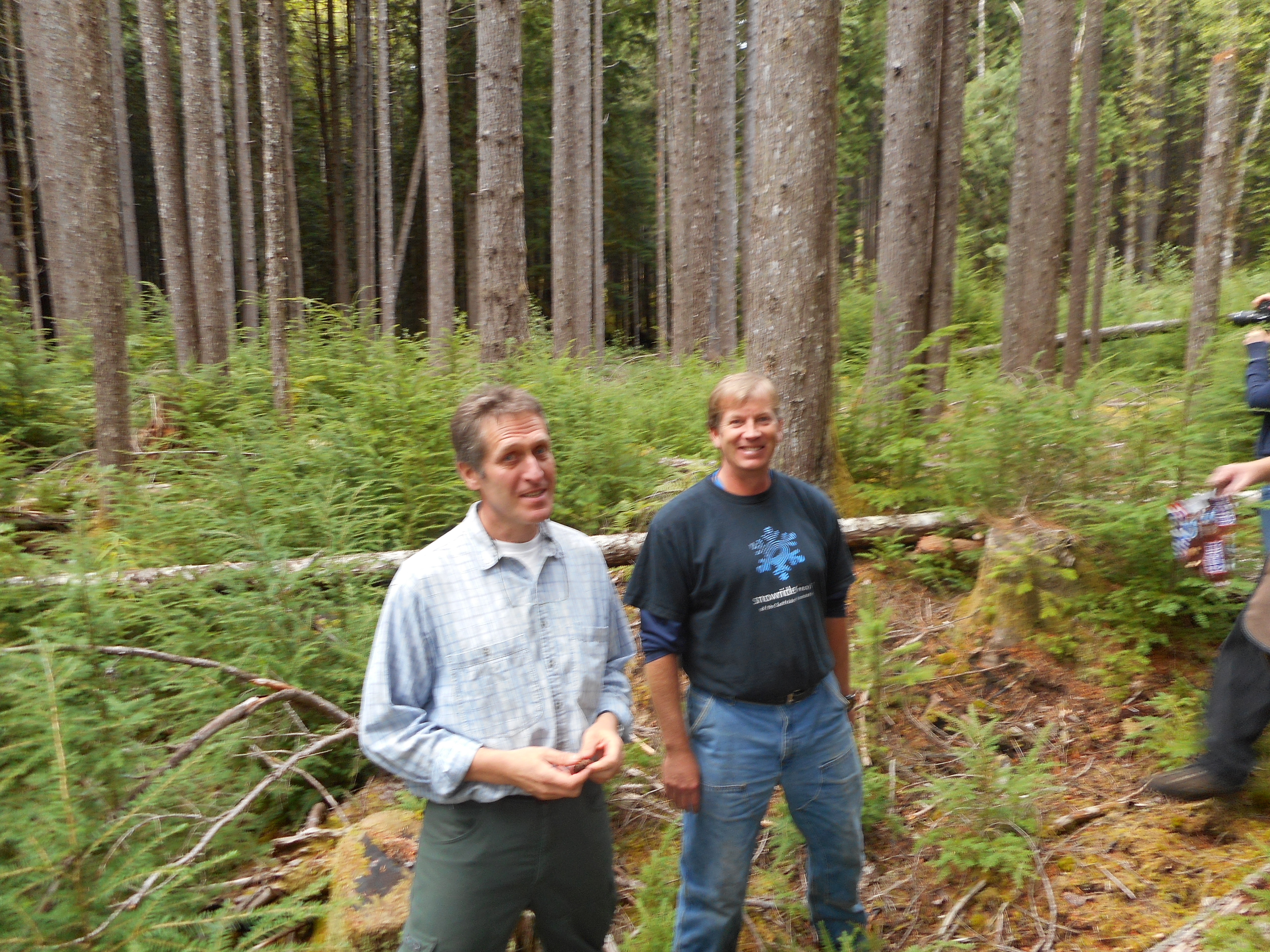
Rolf Gersonde (l) and Bill Richards our forest ecology teachers
I signed up for this weeks ago and have been looking forward to it. I was not disappointed.
The Cedar River Watershed Education Center – officially in North Bend – is a marvelous complex devoted to educating anyone who stops by in what the Cedar River Watershed is (it the water source for 1.4 million Puget Sound residents), its history, its ecology, how the forest is managed, the flora and fauna and – I will stop right there. You get the idea.
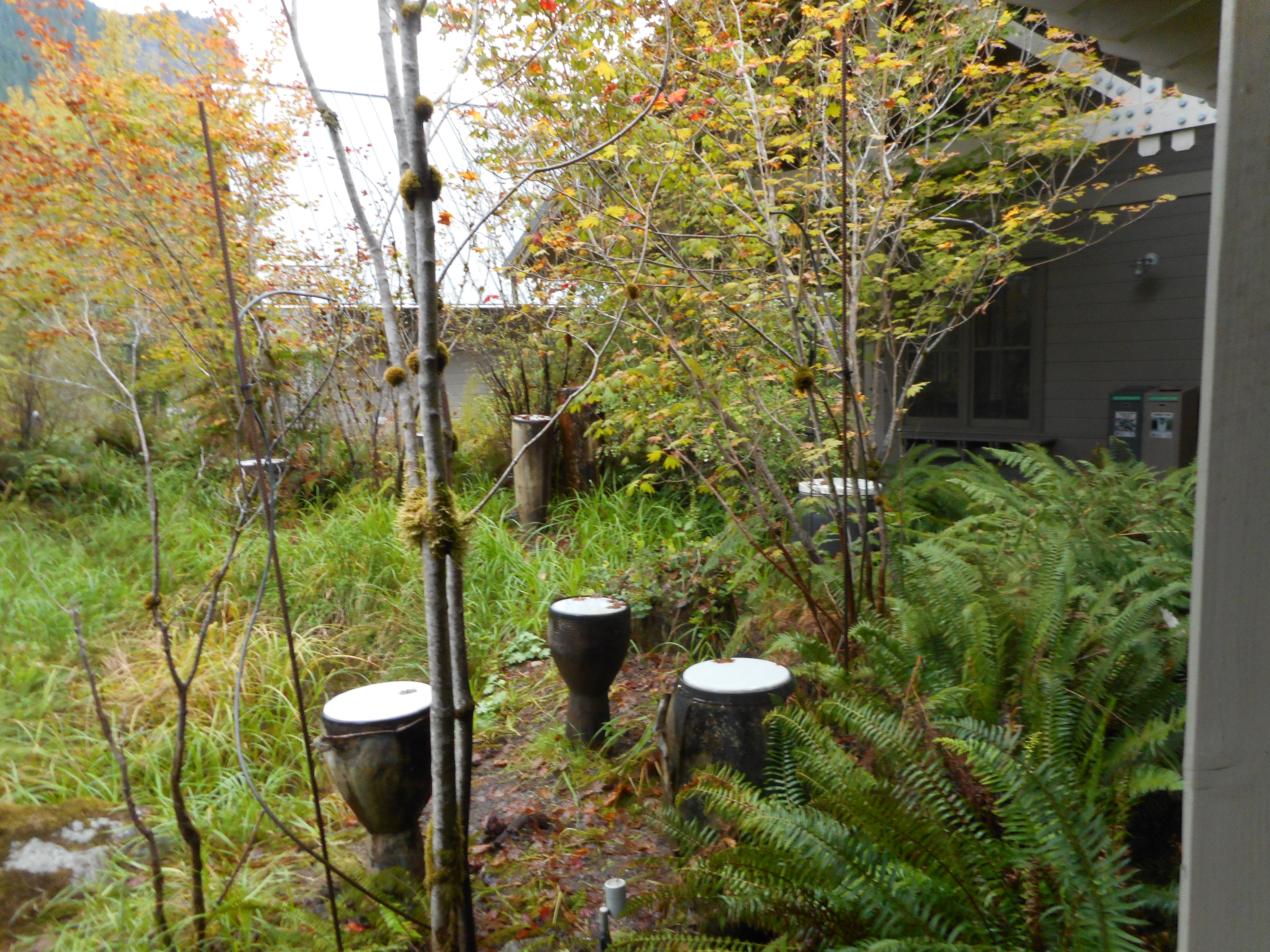
Water drums
Just outside the room where we all met at 9am is a court with water drums. The drums are played by dripping water and the sound is interesting and soothing.
There were, I believe, 14 of us tourists, Rolf and Bill, our teachers/guides, and another Cedar River Watershed Education Center employee who took photos and drove one of the two vans in which we traveled into the very back country.
Much of the territory surrounding our hikes is strictly off-limits, as it is part of the watershed. Today, we got to go backstage and it sure is terrific.
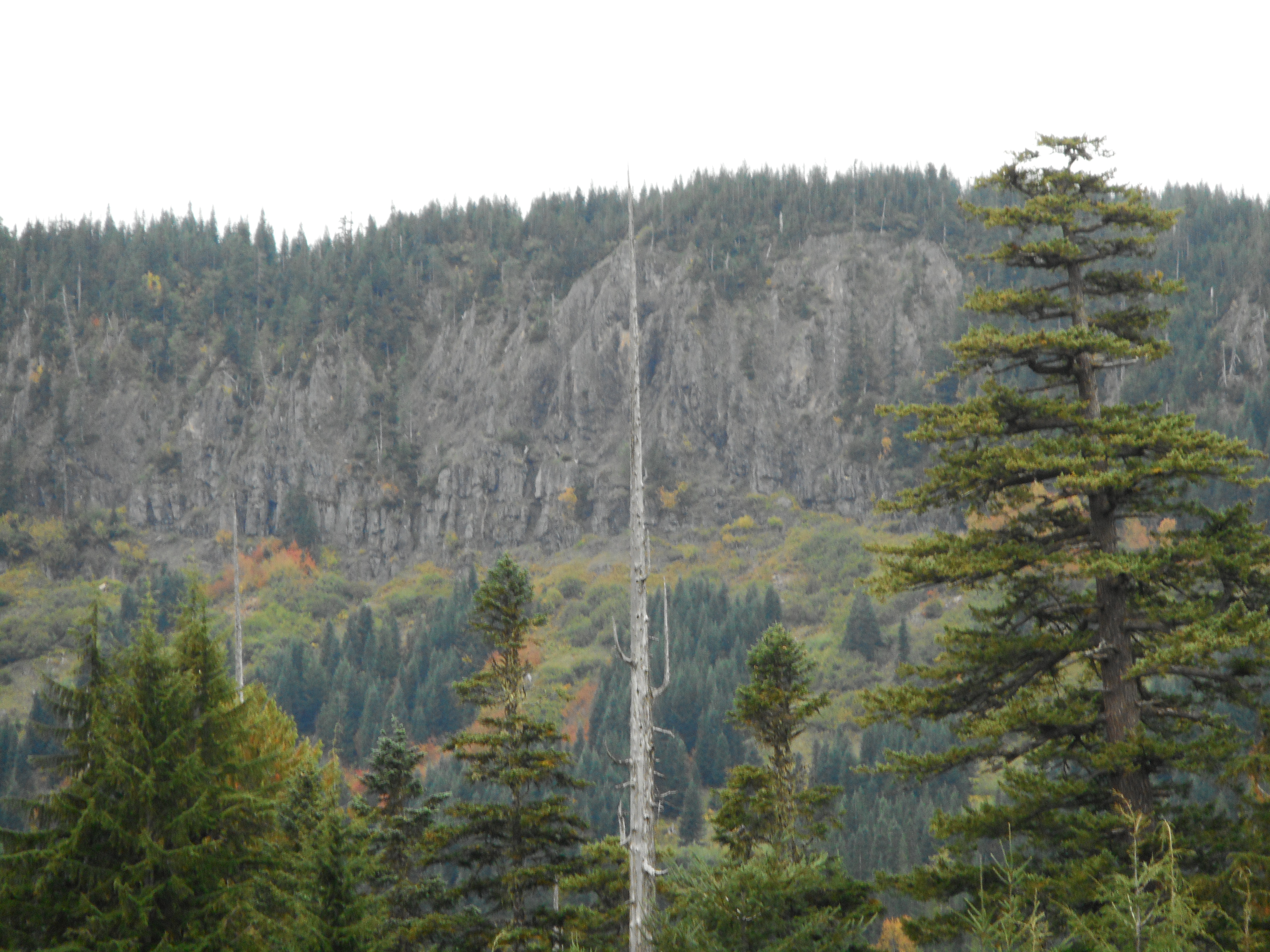
Nice view from the Cedar River watershed
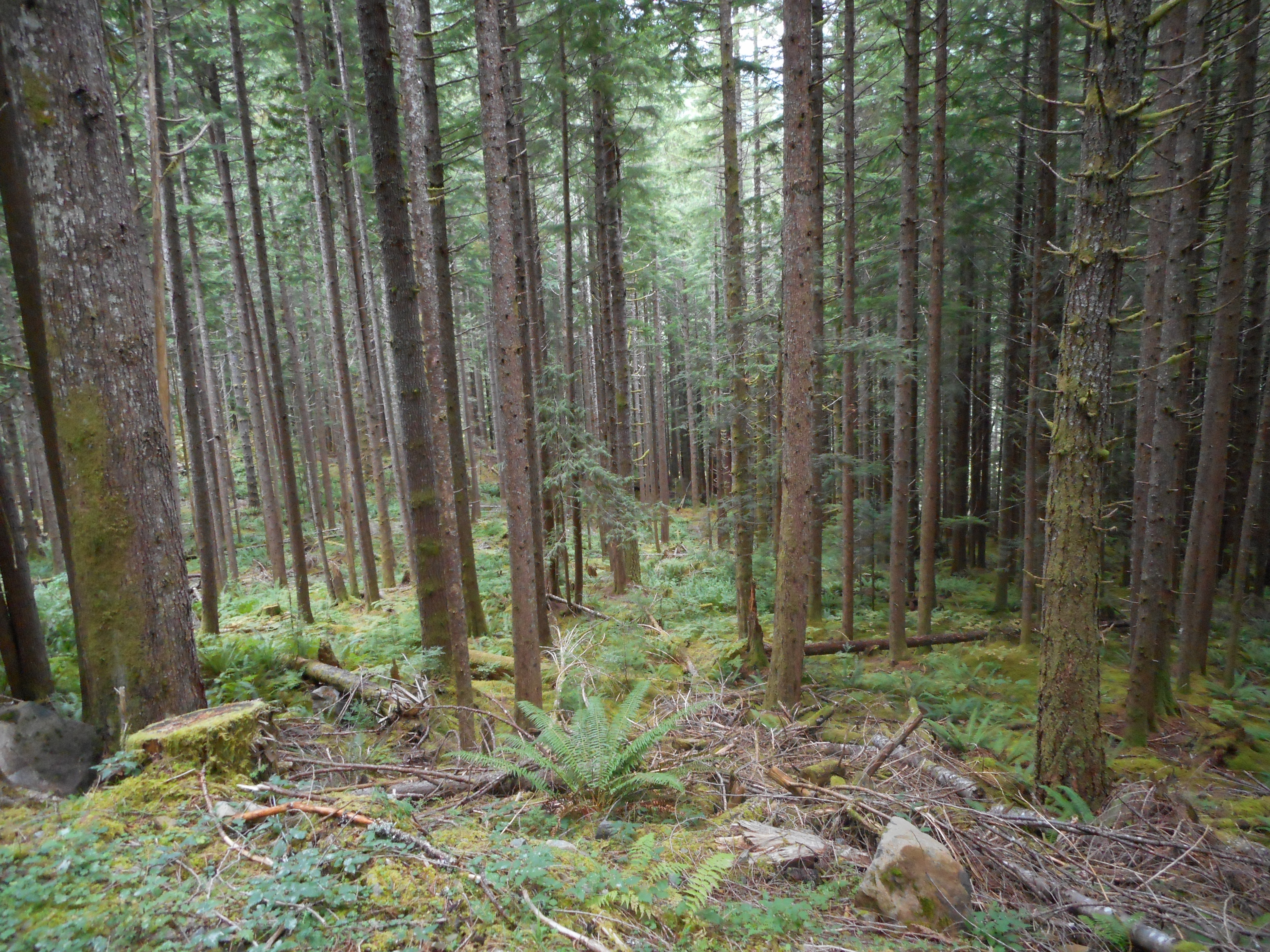
We stopped at four different locations, each one carefully chosen to illustrate an important ecology and restoration-related point. The ‘restoration’ has to do with the fact that most of this region was clear-cut in the past and the forest is now growing back.
But how to help the forest be as robust and healthy as possible? That is not an easy question to answer, but Rolf and Bill are integral parts of a large team of scientists, students, and assorted super-persons (like the contractors who come in with huge chainsaws to thin selected areas) trying to find the best answers.
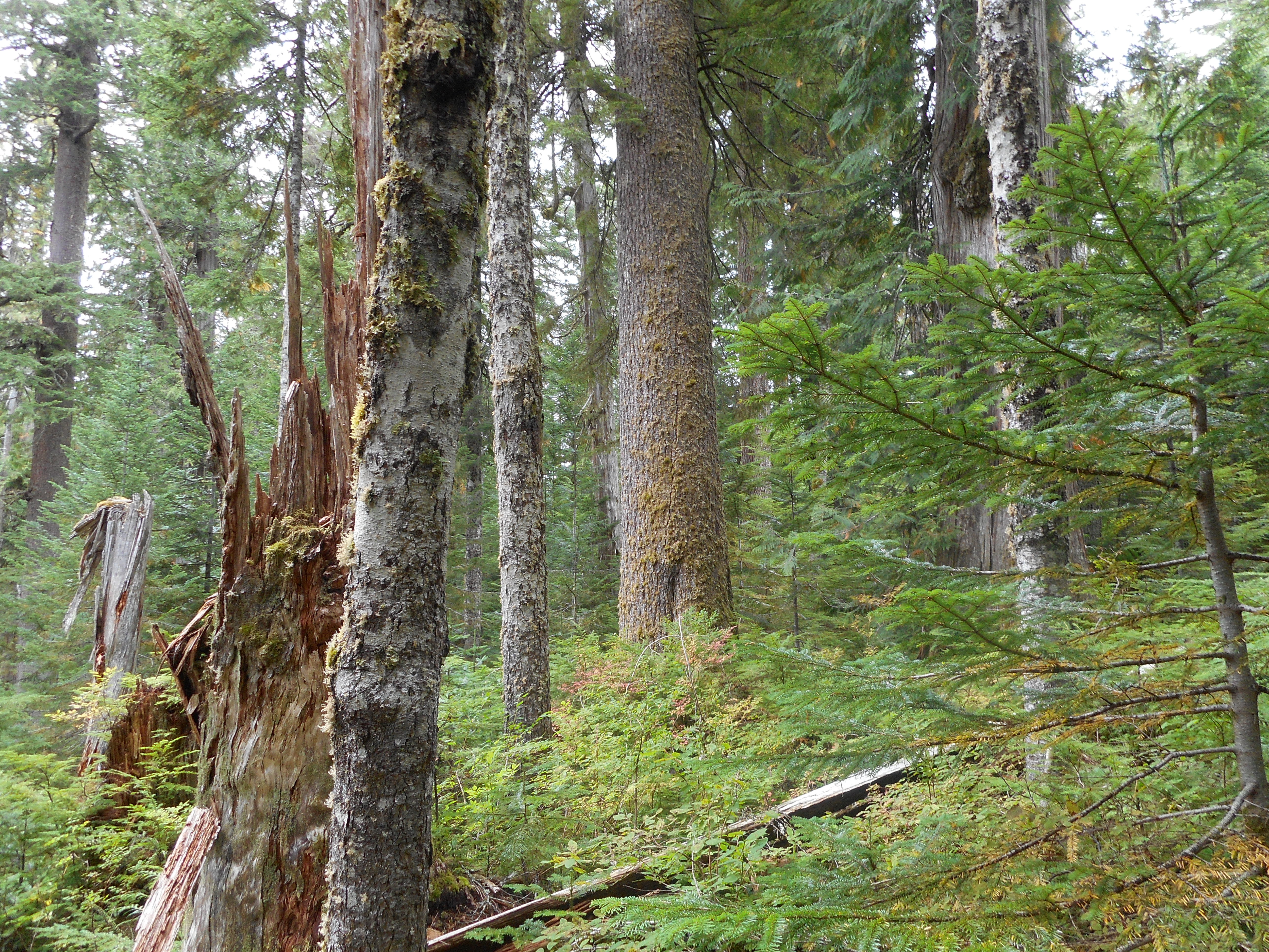
Along the way we stopped at a stand of trees that are among the oldest in the Pacific Northwest, in the range of 700 years old. There was a massive fire 300 years ago that destroyed most of the forest from the Cascades to the Olympics, which is why most of the old growth forest around here is 300 years old.
But this little stand survived that fire and survived the logging companies and we were hiking through it today.
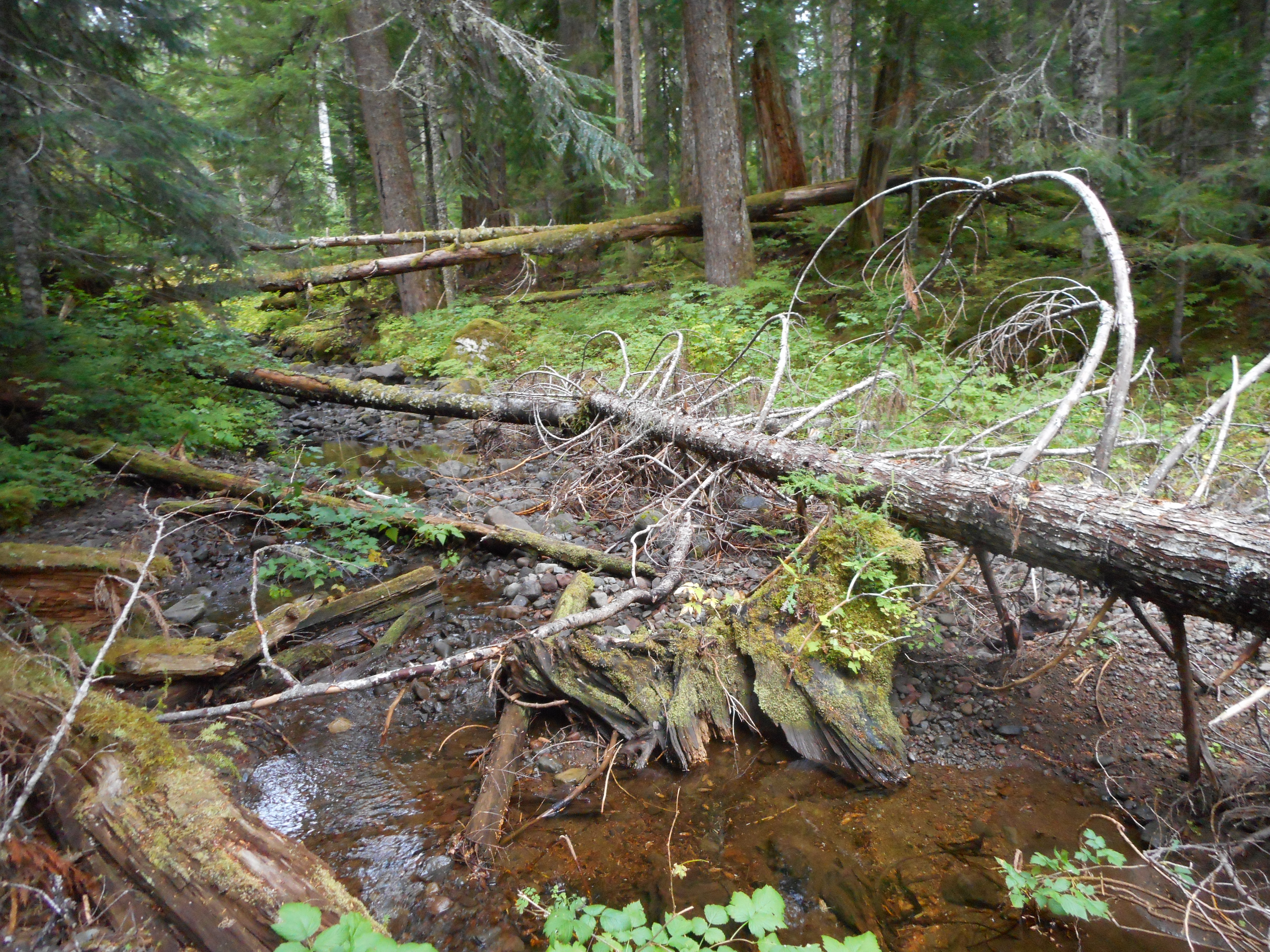
Old growth forestA stream in the old growth
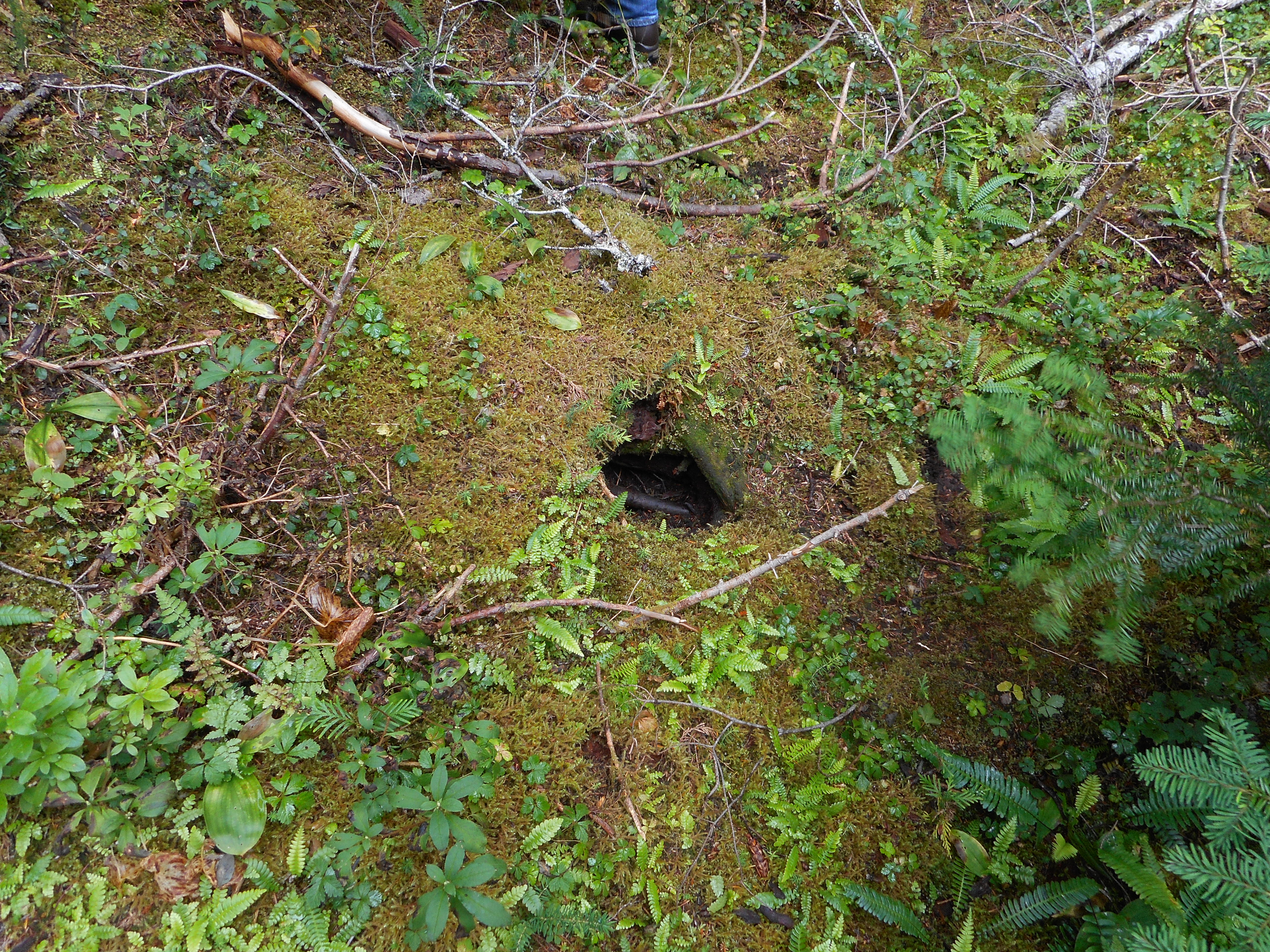
Rolf and Bill are gold mines of fascinating information about trees and ecology and – and pretty much everything you might want to know about forests and their flora and fauna and management. They pointed out a number of Mountain Beaver holes (but we did not see any of the little critters).
In The Hall of the Mountain Beaver
On the way back we stopped and inspected an area where they had cut down enough trees to allow the survivors to flourish, and to encourage a variety of trees to survive. Some trees are better than others at pushing through relatively dark conditions (left alone, the new growth is really thick, allowing around 5% of the light from the top of the canopy through) and thinning helps keep the forest healthy and happy.
Second growth thinned stand
You can see from the photo above that they leave the felled trees on the forest floor, there to go back to the earth and provide shelter and food and minerals to various bugs and other critters.
One rather interesting relationship is between squirrels and truffles. Truffles! They are essentially mushrooms that grow underground. Because they are underground their spores cannot spread as other plant spores spread, on the wind.
So the truffles rely upon squirrels to find them, dig them up, eat them, and deposit them somewhere else. How do they find them? The truffles have a distinctive citrusy odor (some people use pigs to sniff them out) – perfect!
And it was a perfect day. Many thanks and kudos to Rolf and Bill and the entire Cedar River Watershed Educational Center. I totally urge anyone in this area to check them out, take one of their tours, or just visit their beautiful facilities right next to Rattlesnake Lake.
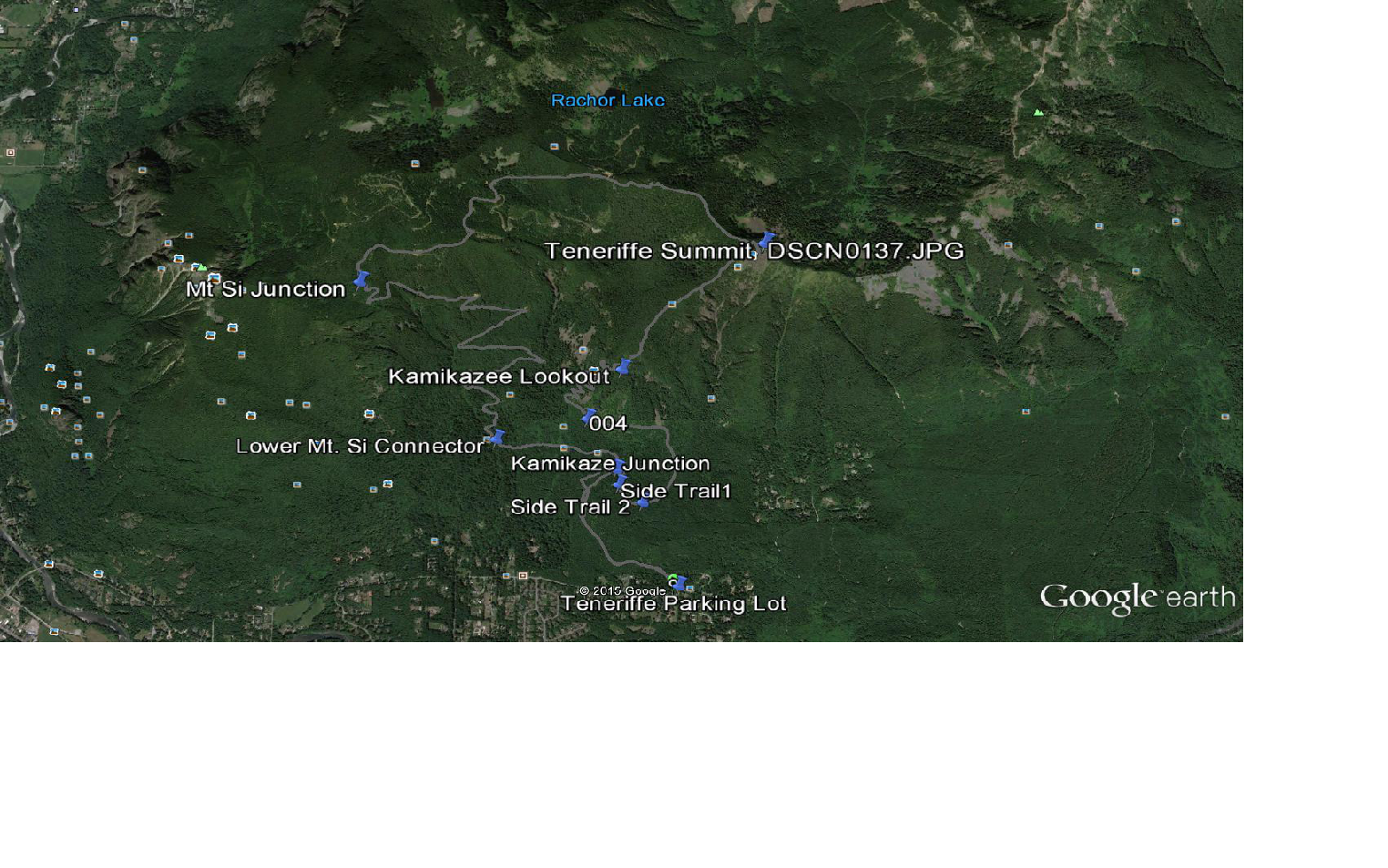
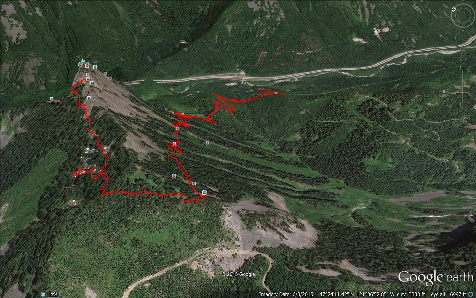
As of today we were able to download all of our Garmin gps data to my laptop and I am learning how to work with the data.
This will help us put our hikes into context for our future reference. Above is Google Earth with our route overlaid on the map, and our real-time labels for various points along the hike.
What distinguishes this hike for us is the extreme steepness of the section we call the Kamikaze Trail. We think this trail actually starts earlier than our own start, which is labeled Kamikaze Lookout on the map on top, but that’s OK.
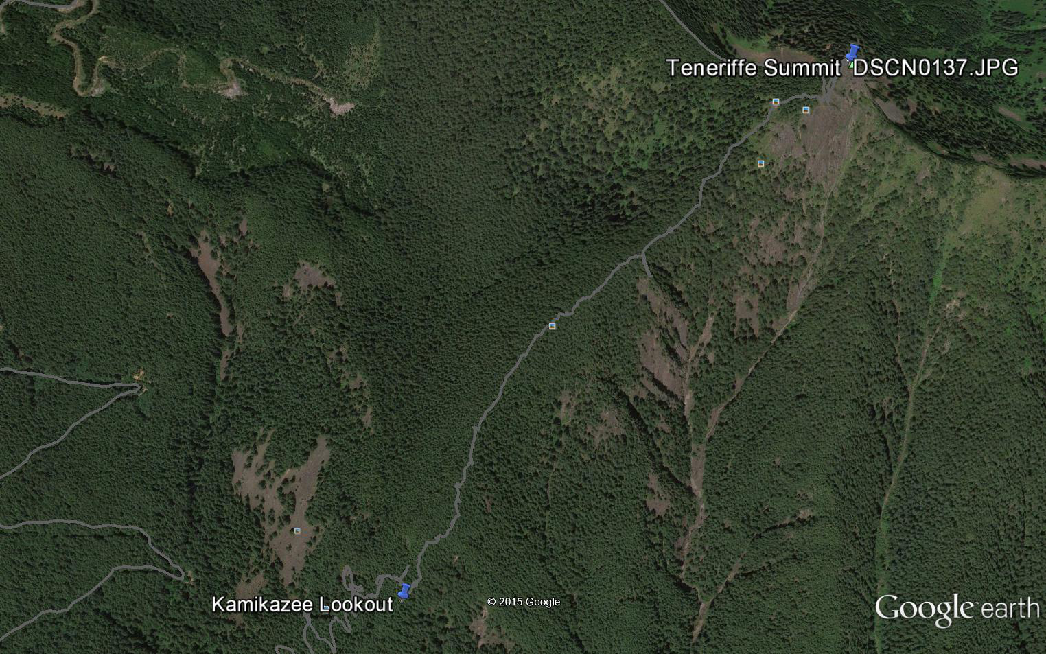
The point is that the Kamikaze Trail, as mapped by us yesterday, is only the section from Kamikaze Lookout to Teneriffe Summit. Here is a close-up of that route:
Kamikaze Trail
You can sort of tell from the photo, but compare the relative straight line to the summit on this route vs. the much longer official trail and note that the Kamikaze Trail is essentially a trail along one of the mountain’s spines. The official trail is the grey line that represents our route down, it goes west (to the left) from the summit.
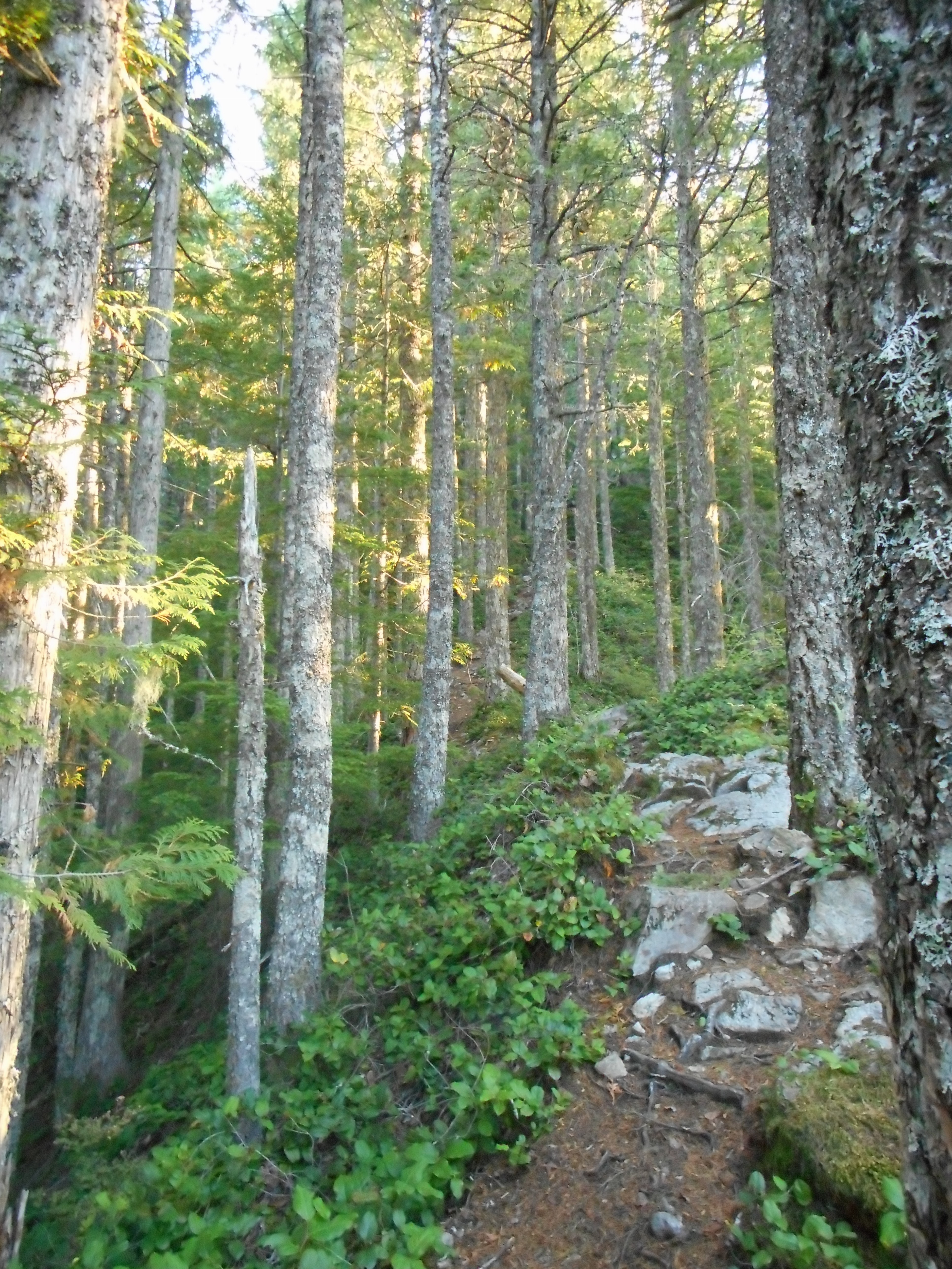
Derek and I stopped quite a few times on the Kamikaze trail because our legs – particularly mine, the old man – were burning up from the steepness. But at one point it was level enough to catch our breath and Derek documented what this spiny trail looks like when you are on it:
The trail (a rare semi-level section) from ground level
Now that we know how to download the data from the device to the laptop we are all set to be able to create the detailed maps we have been working on. We have done so many hikes in the vicinity of Mt. Washington, Change Peak, the Great Wall that we are going to focus some energy on getting that all organized.
Already we noticed that our eternal question at one point on the Great Wall – where does ‘left’ go at this junction? – is answered via Google Earth. And the answer is: a long way down a tangled network of logging roads.
Cool! We will be exploring and mapping those and sooner or later we will have the most detailed hiking maps of the mountains around here that you have ever seen. But you won’t see the complete versions as we plan to keep some of our discoveries private.
We have been to the Teneriffe summit but not via this route. We looked at the Kamikaze Trail before but passed on it because we were not sure where it came out and how much time it would take. We had a hard stop to attend Finley’s kindergarten class so at what we thought was the beginning of the trail we turned around.
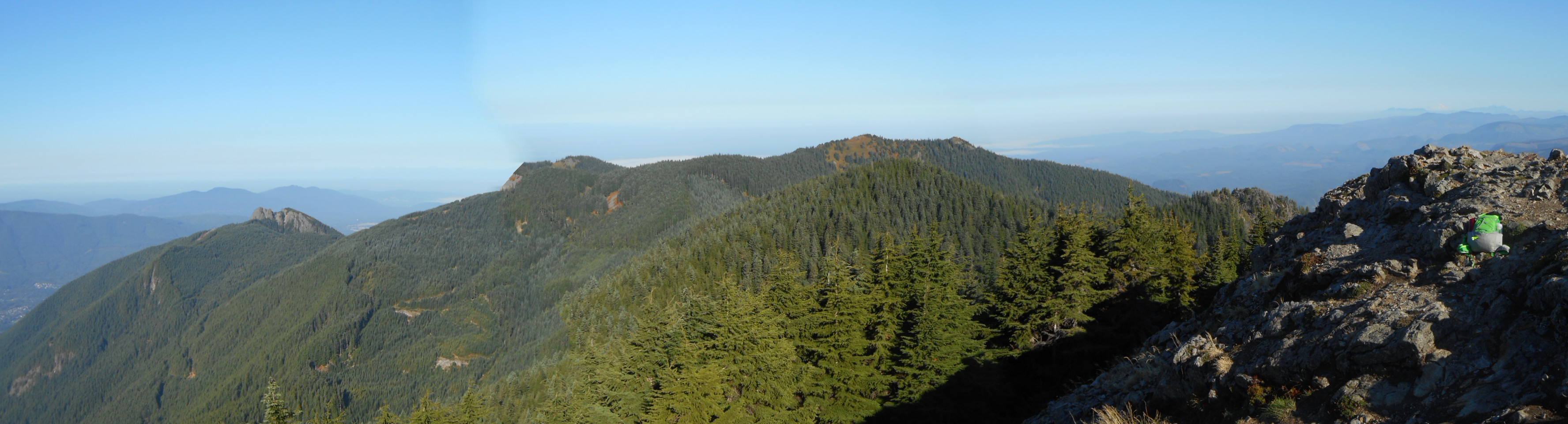
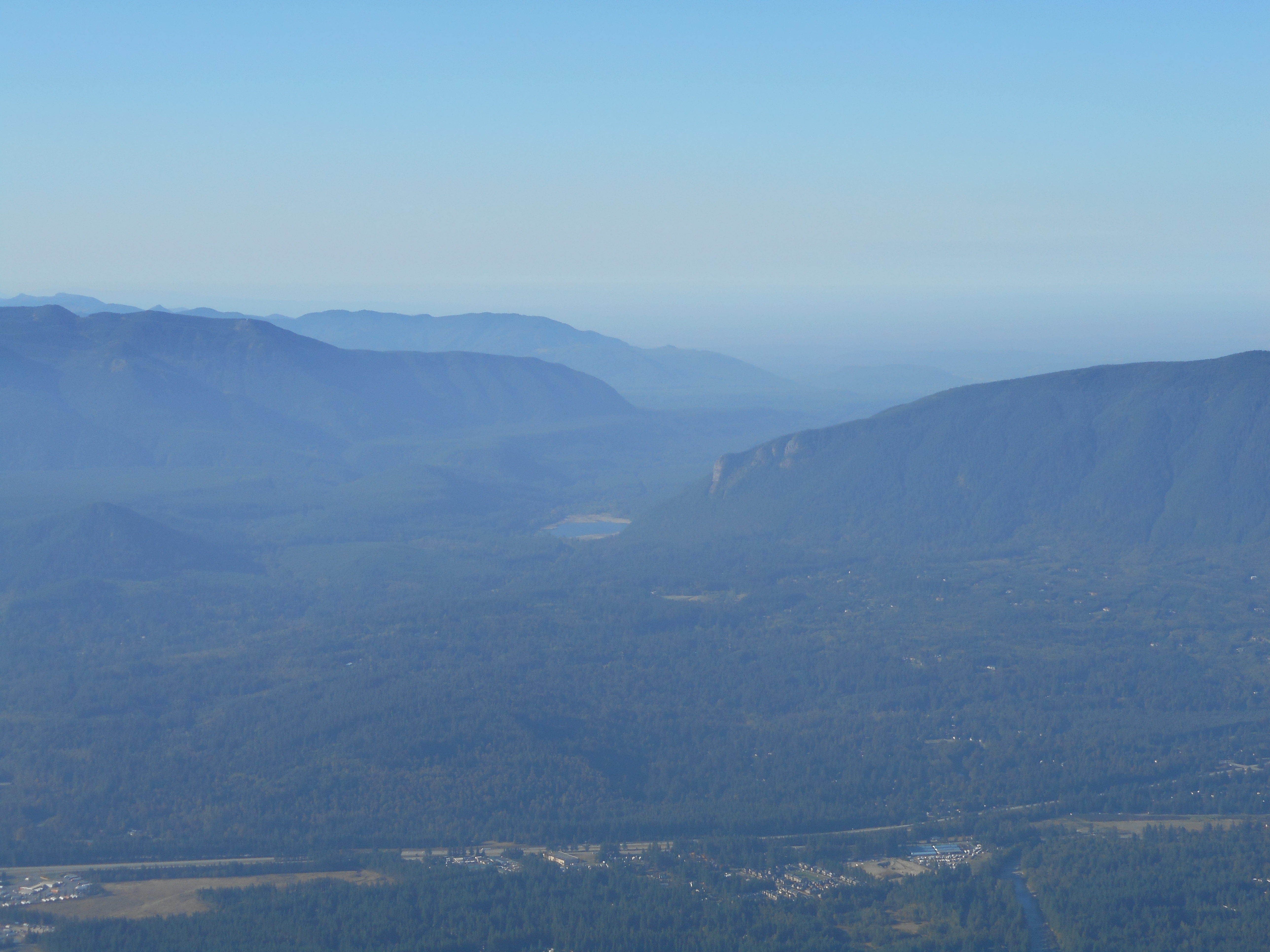
Not today. Today we mapped our distance from the car to the Kamikaze Trail as 2.8m and our elevation at 2,800 feet. When we got to the summit we were at 3.7m and 4760 feet which means that stretch of trail is steep. 1,960 feet of elevation gain in .9 miles. Yikes! Our legs were beat by the time we hit the top but what views from up there!
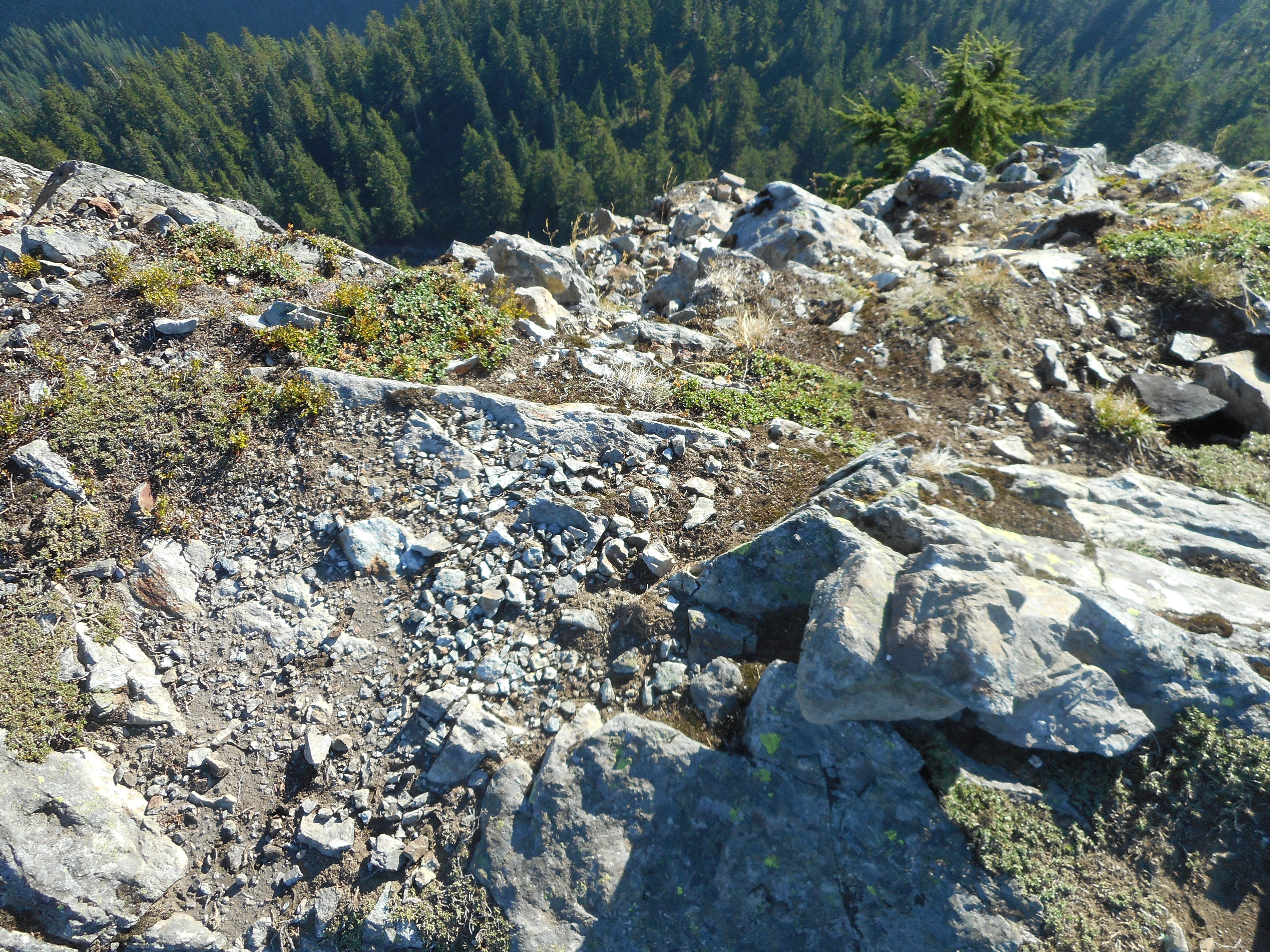
Rattlesnake Lake and LedgeIt’s all mountains all the timeMailbox PeakWatch your step right here
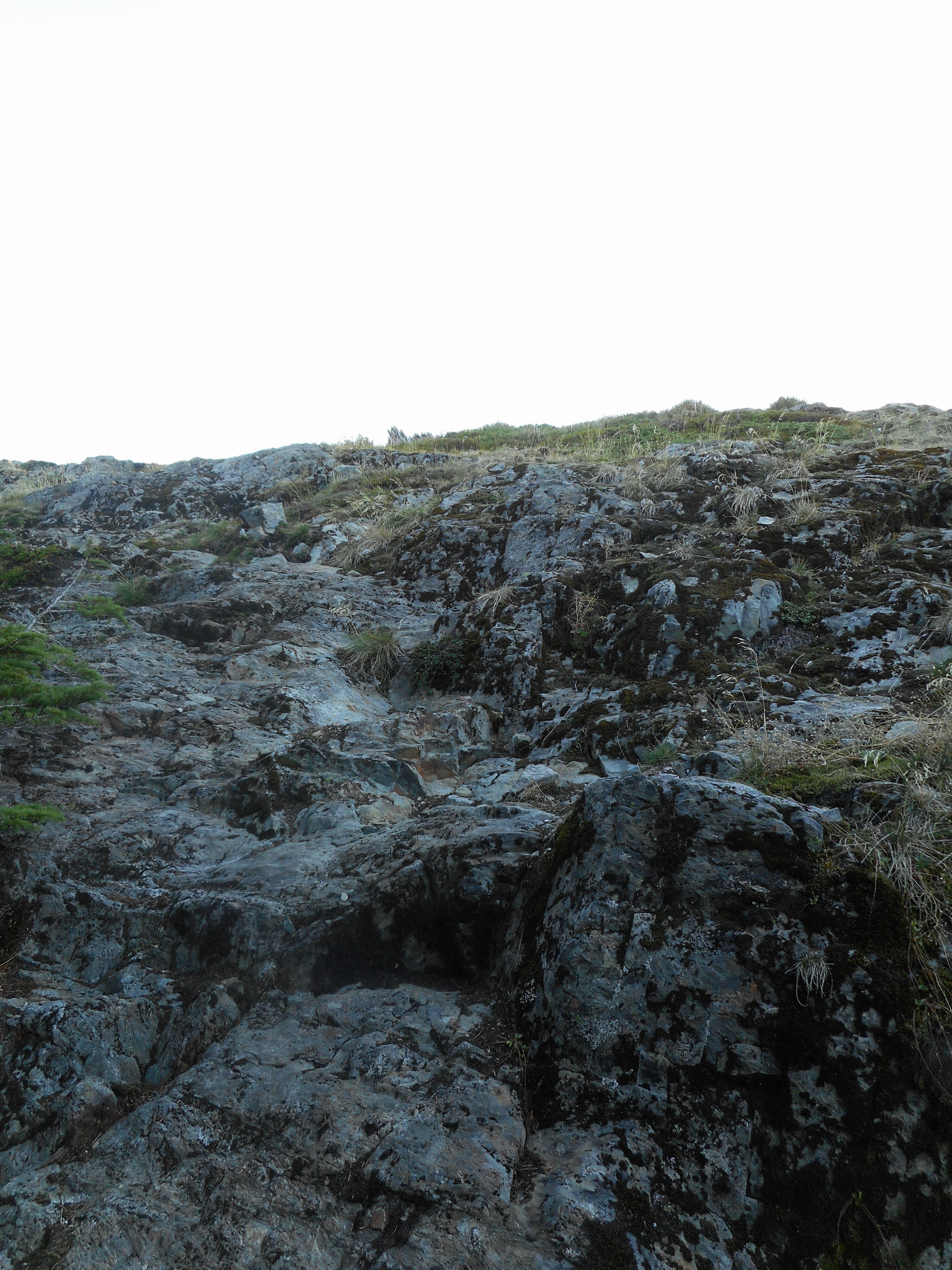
There is one last test before you hit the actual summit.
Teneriffe summit scramble
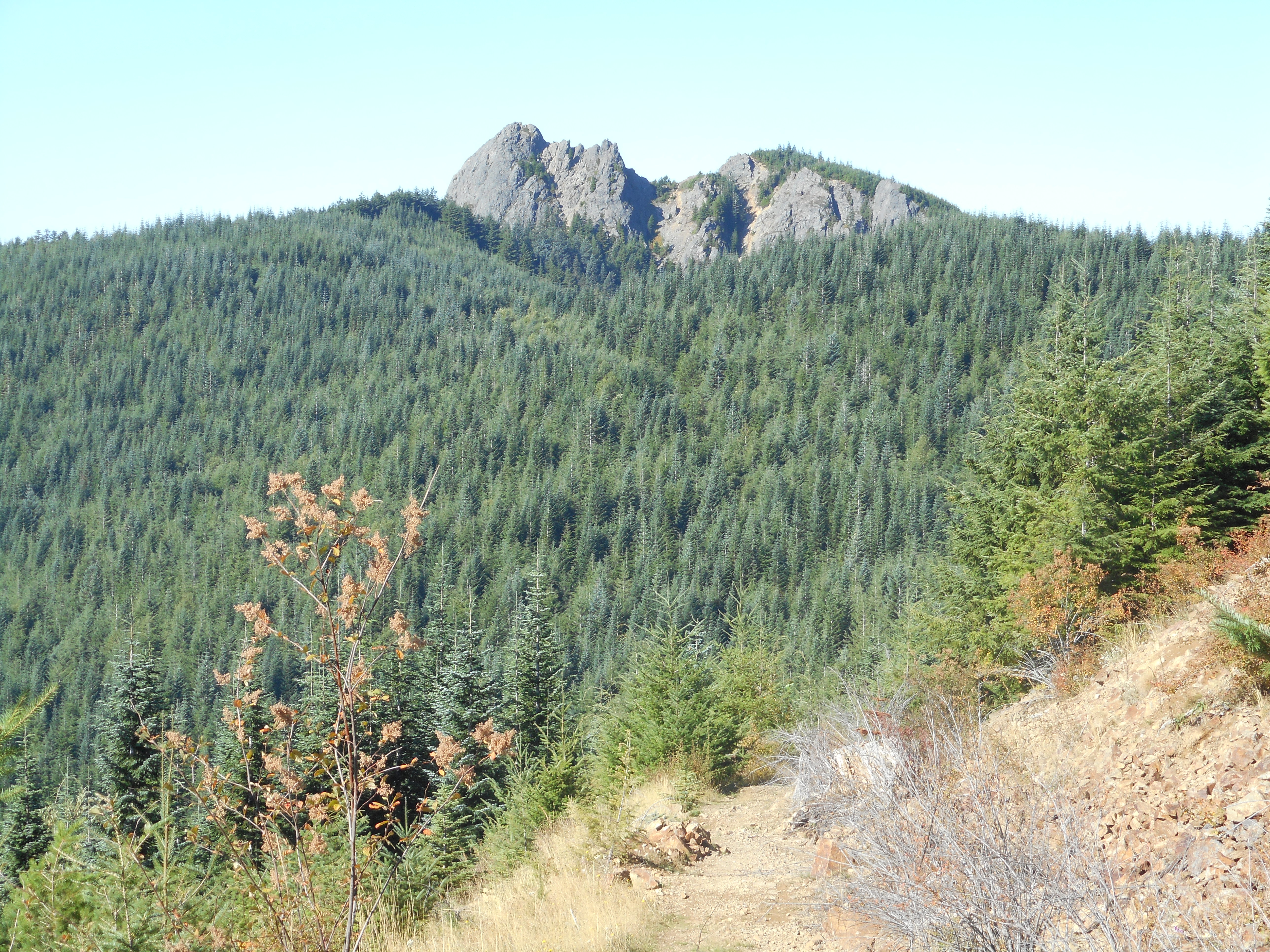
We took the main trail down. It has a side trail that takes you up to the Mt. Si summit but we skipped that side trip today.
approaching Mt Si on the way down
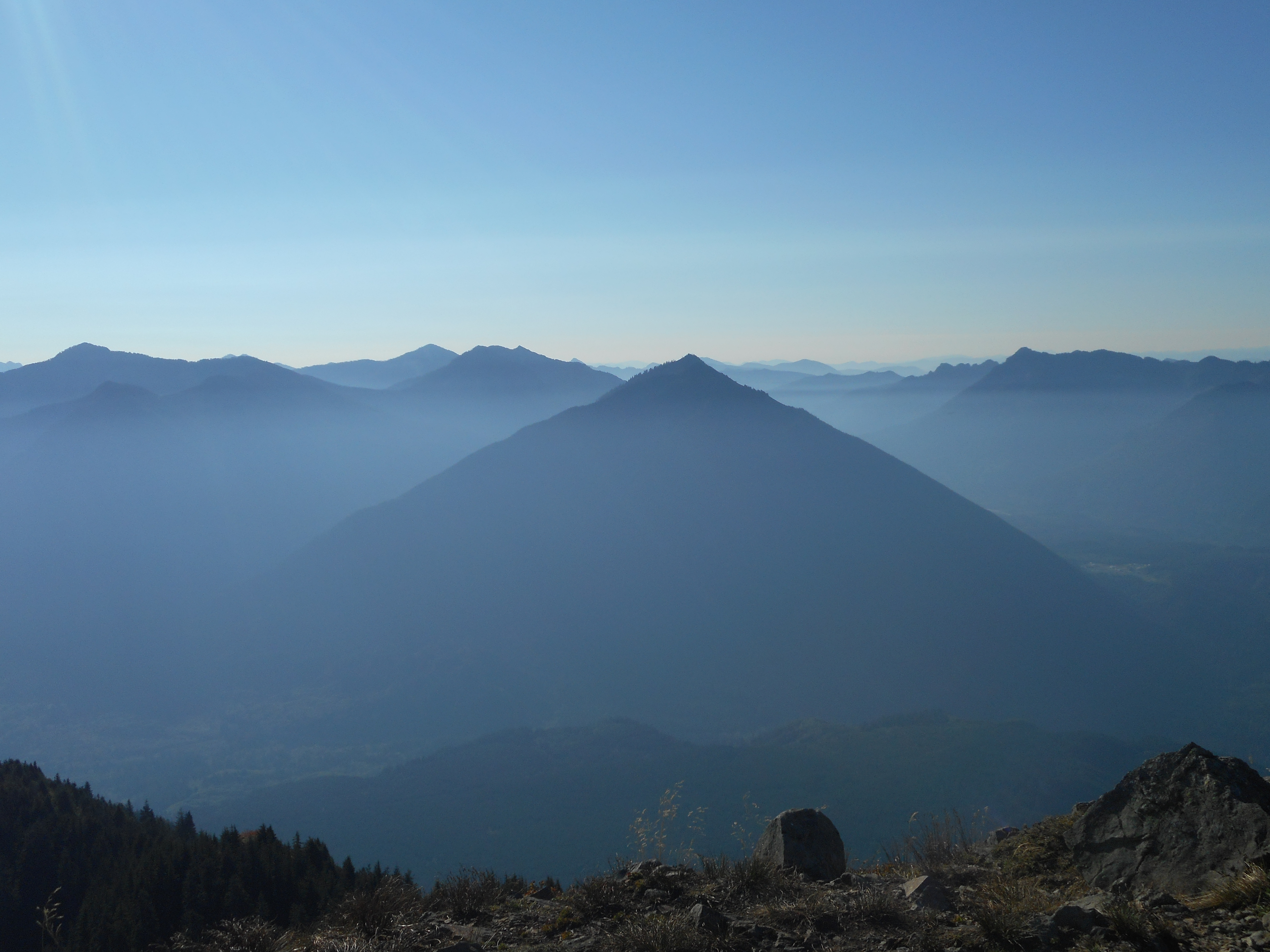
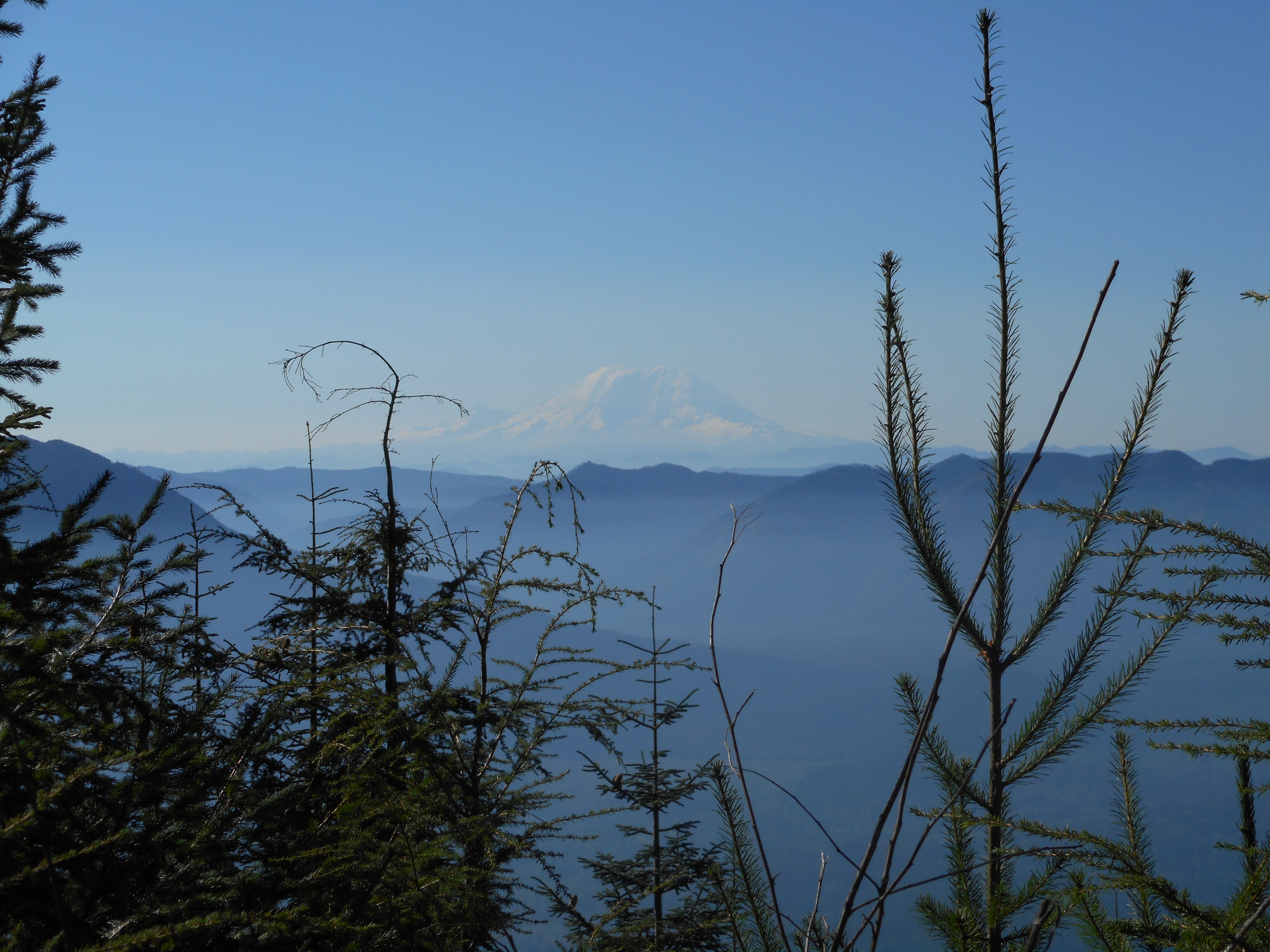
And a nicely framed view of the area behemoth.
Ranier through the trees
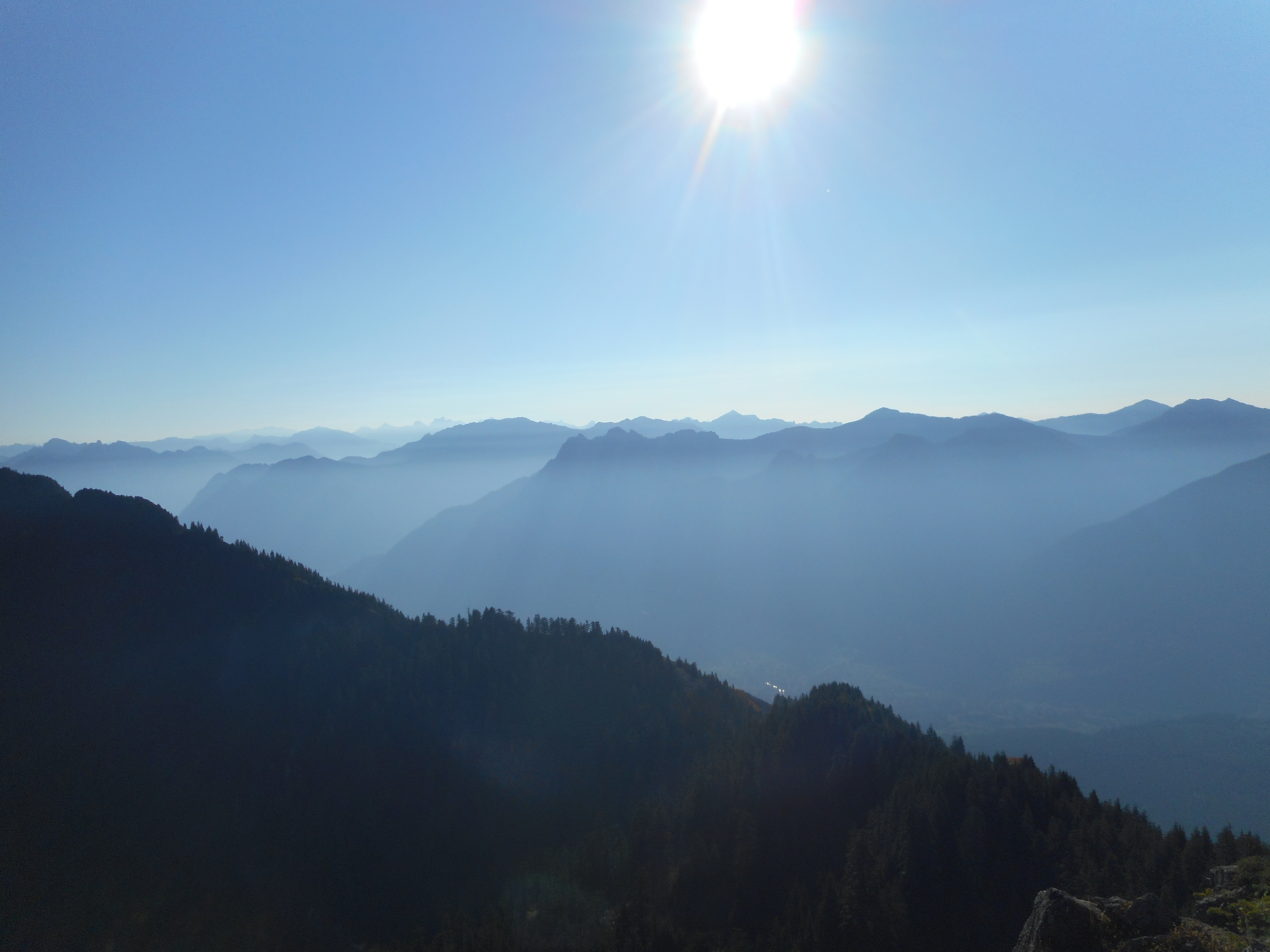
Kind of a gentle descent down the main trail, with plenty of interesting sights.
Pretty spot on Teneriffe trail
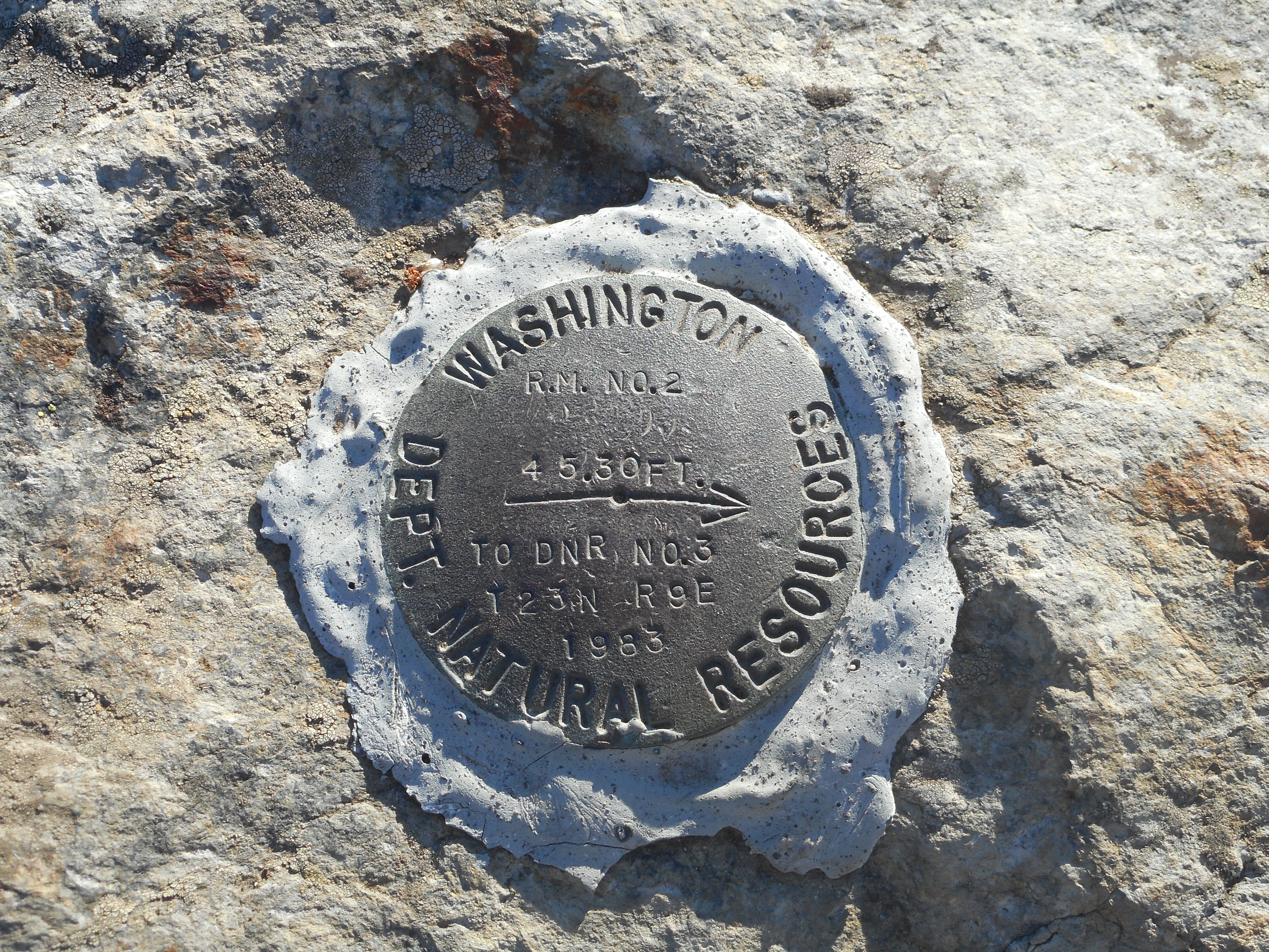
Here is the summit disc:
Summit disc
We may do a hike next weekend, but we are definitely on for a hike on the 24th. The plan is to hike with Darrell and George but George might have a conflict and if so, we will see if Darrell (who has been rehabbing a knee) is still on and if so, perhaps we can persuade him to try Vesper Peak again.
We made it up to the scramble in just about 3 hours but left it at that. Parking lot was 1550 ft, the base of the scramble was 5016 feet, so 3466 feet of elevation gain – 4.5m from car, but the first mile and a quarter at least has very little gain – some of it is on the John Wayne Trail – so most of the elevation gain is packed into about 3.3 miles or so. No matter.
This is a wonderful hike. When last we were here we were hiking through deep snow. It was tough. Today, all the sections that gave me the willies (steep little paths over sharp drop offs) were nothing-burgers. Fun.
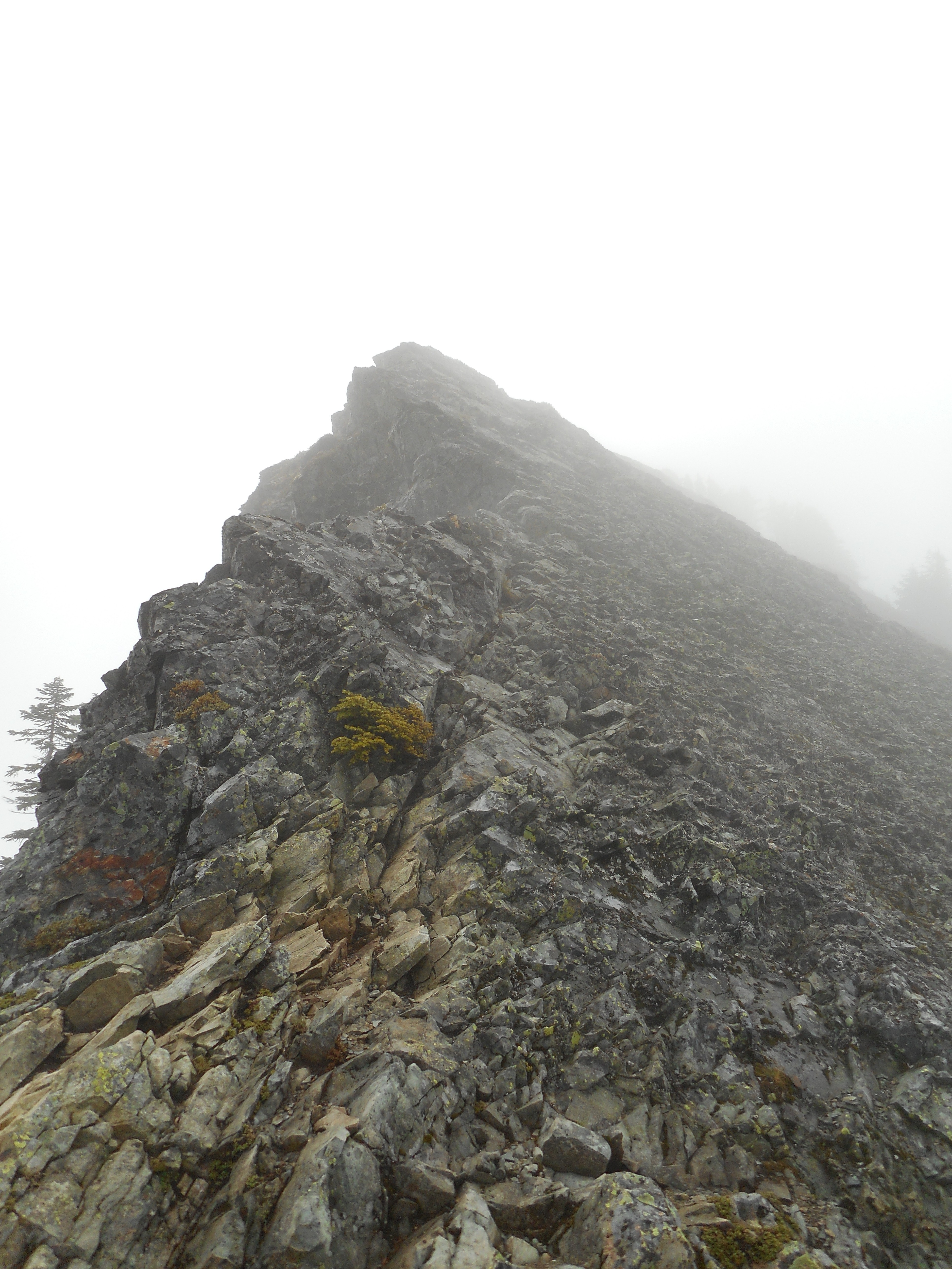
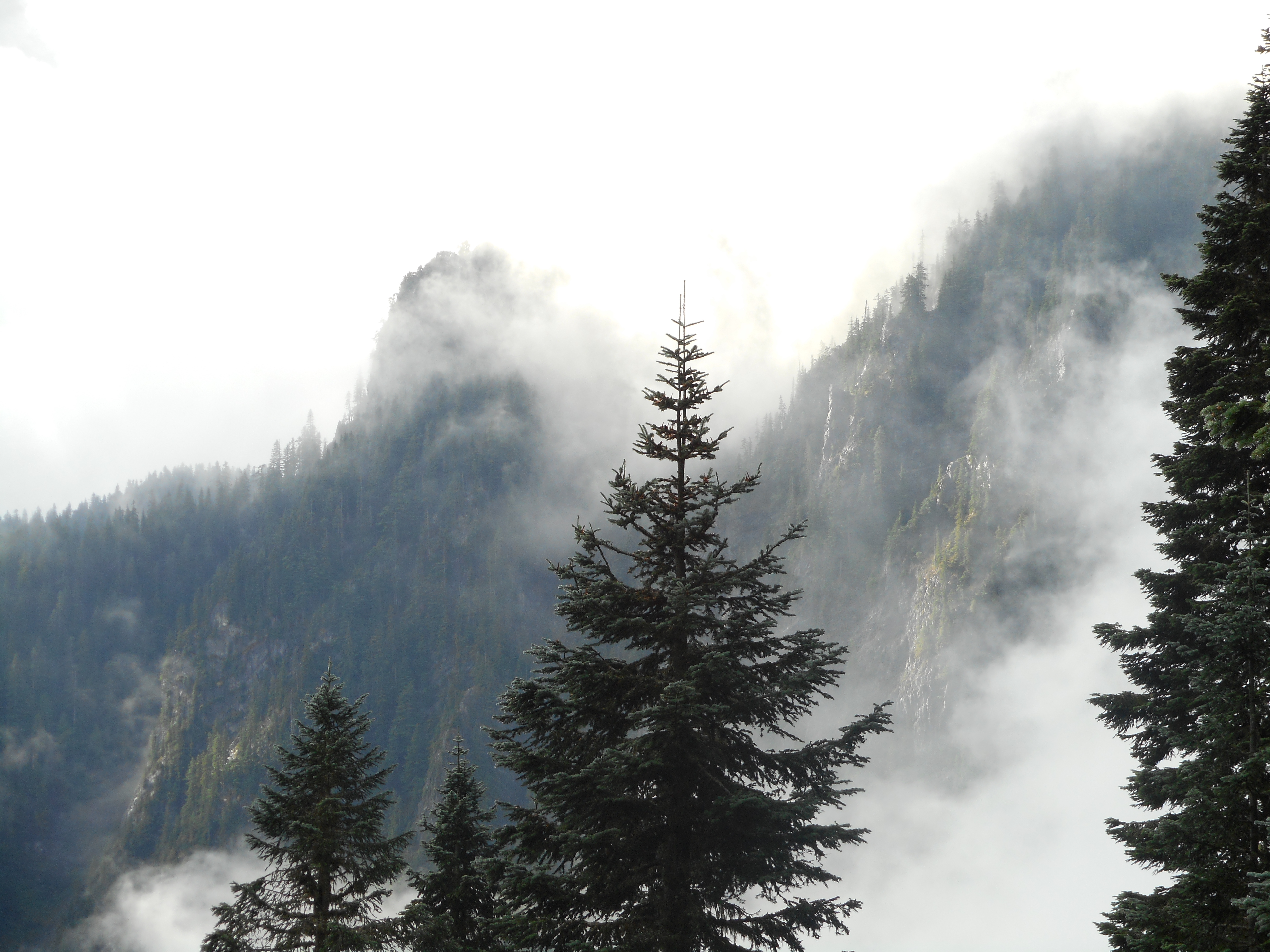
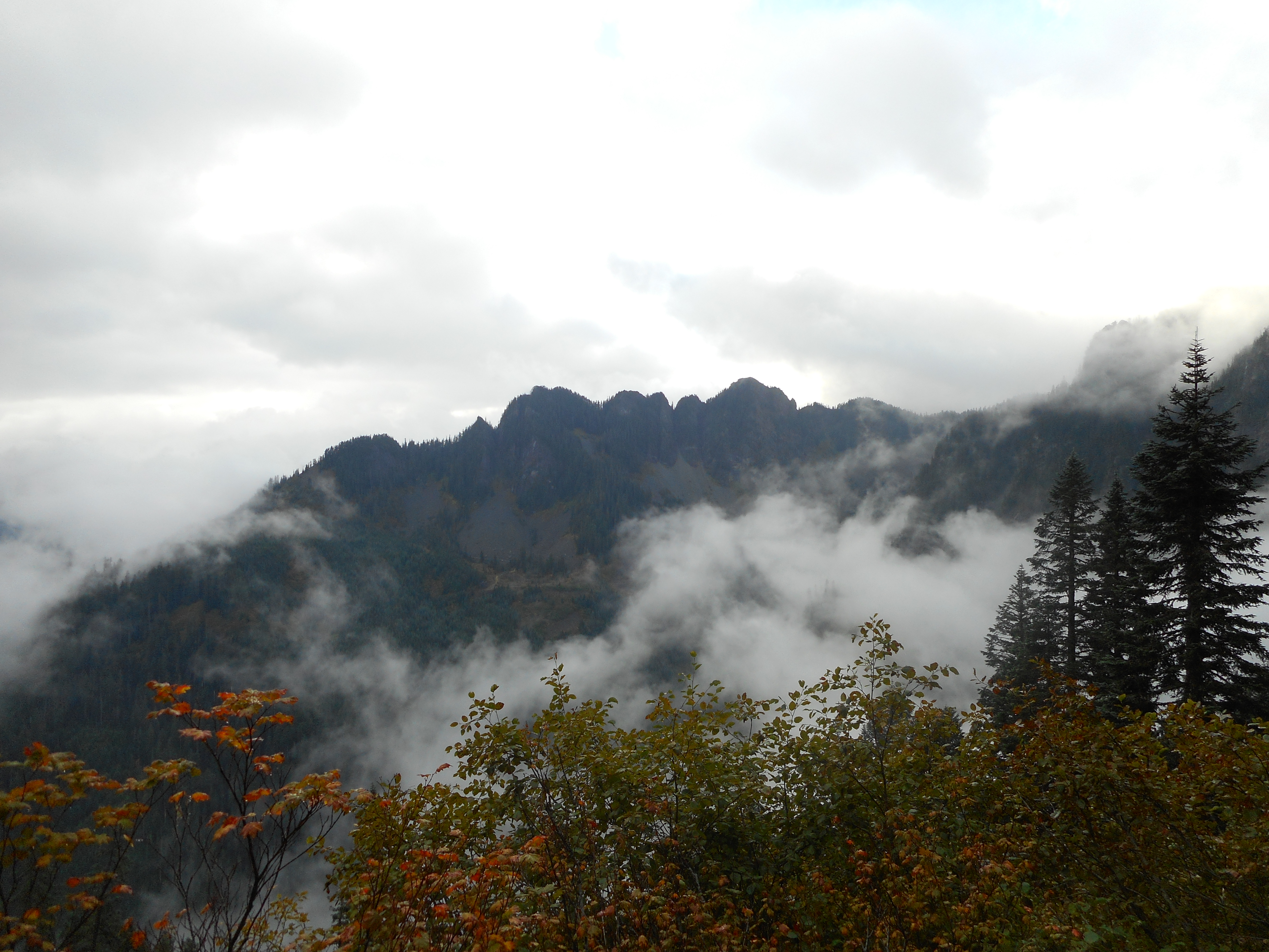
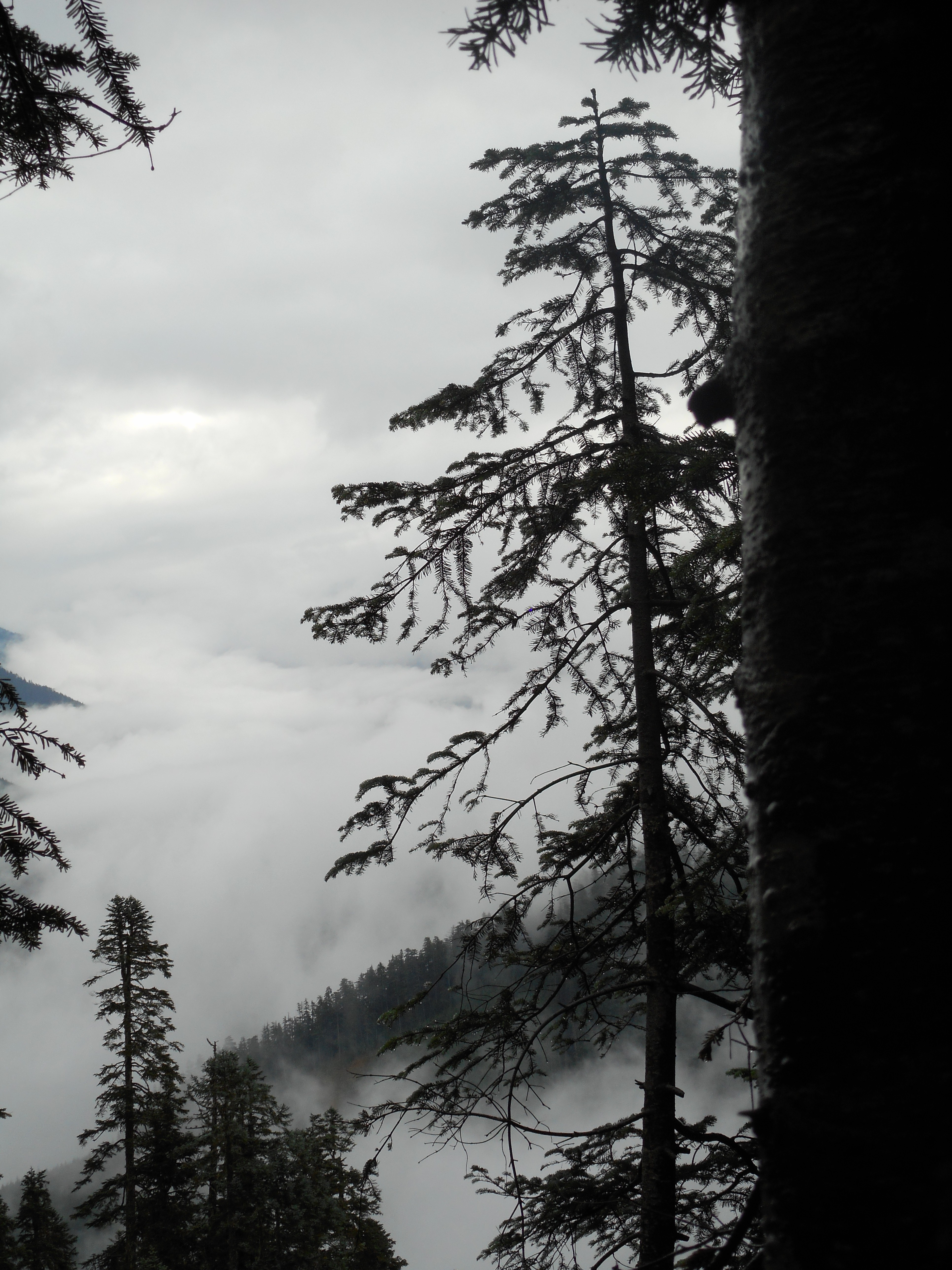
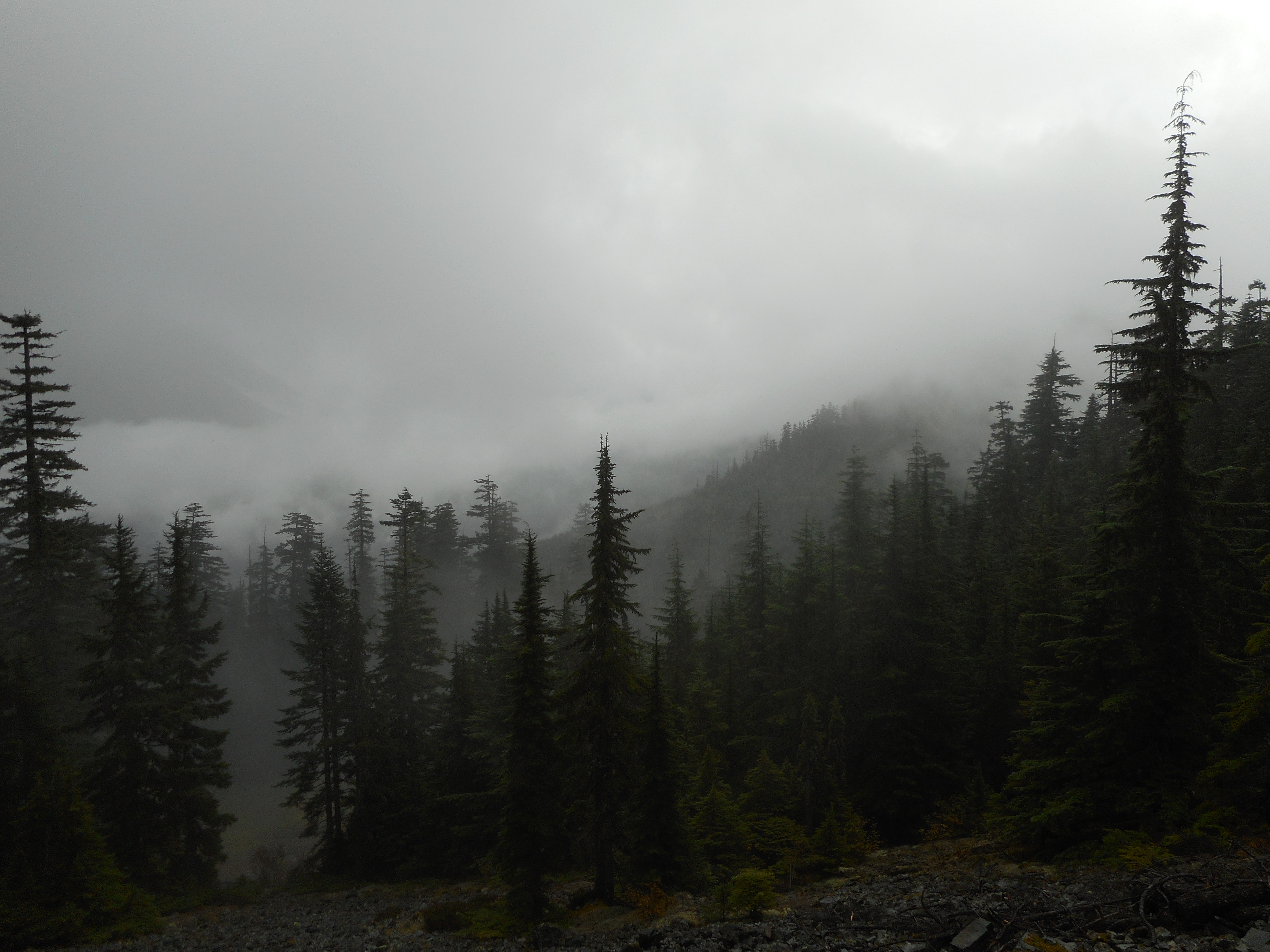
We got a little rain for part of the hike and the wet trees and the fact that we had hiked into the clouds made for some awesome scenes.
When the hike was over we missed the mistLooking eastWe were in the cloudsMisty Mountain view
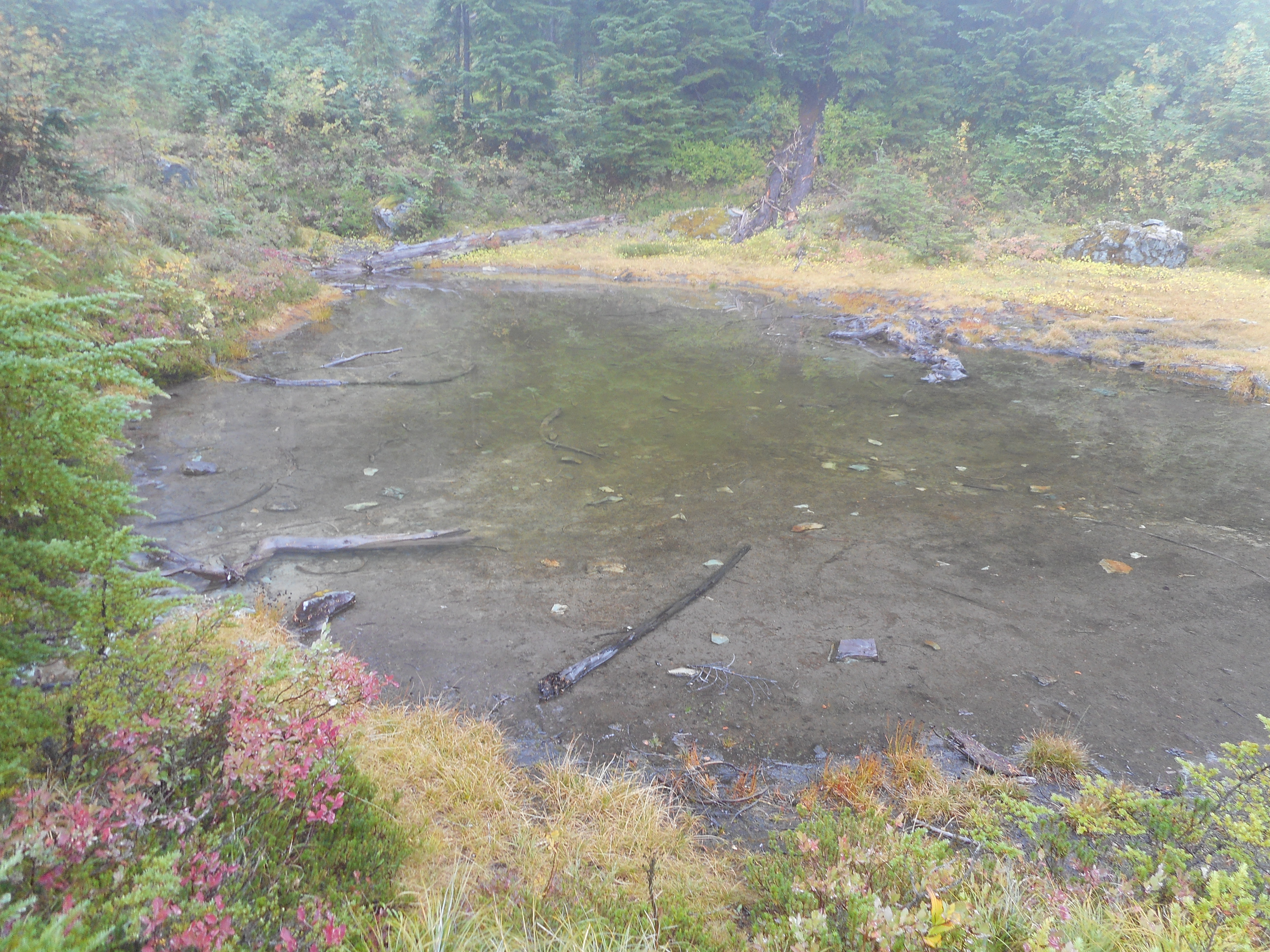
When we were here in the spring we discovered a really cool-looking lake in the shape of a salmon. But today, even with the rain we have had recently, the water was too low for this little mountain lake to look like much of anything.
“Salmon” Lake“Salmon Lake” up close
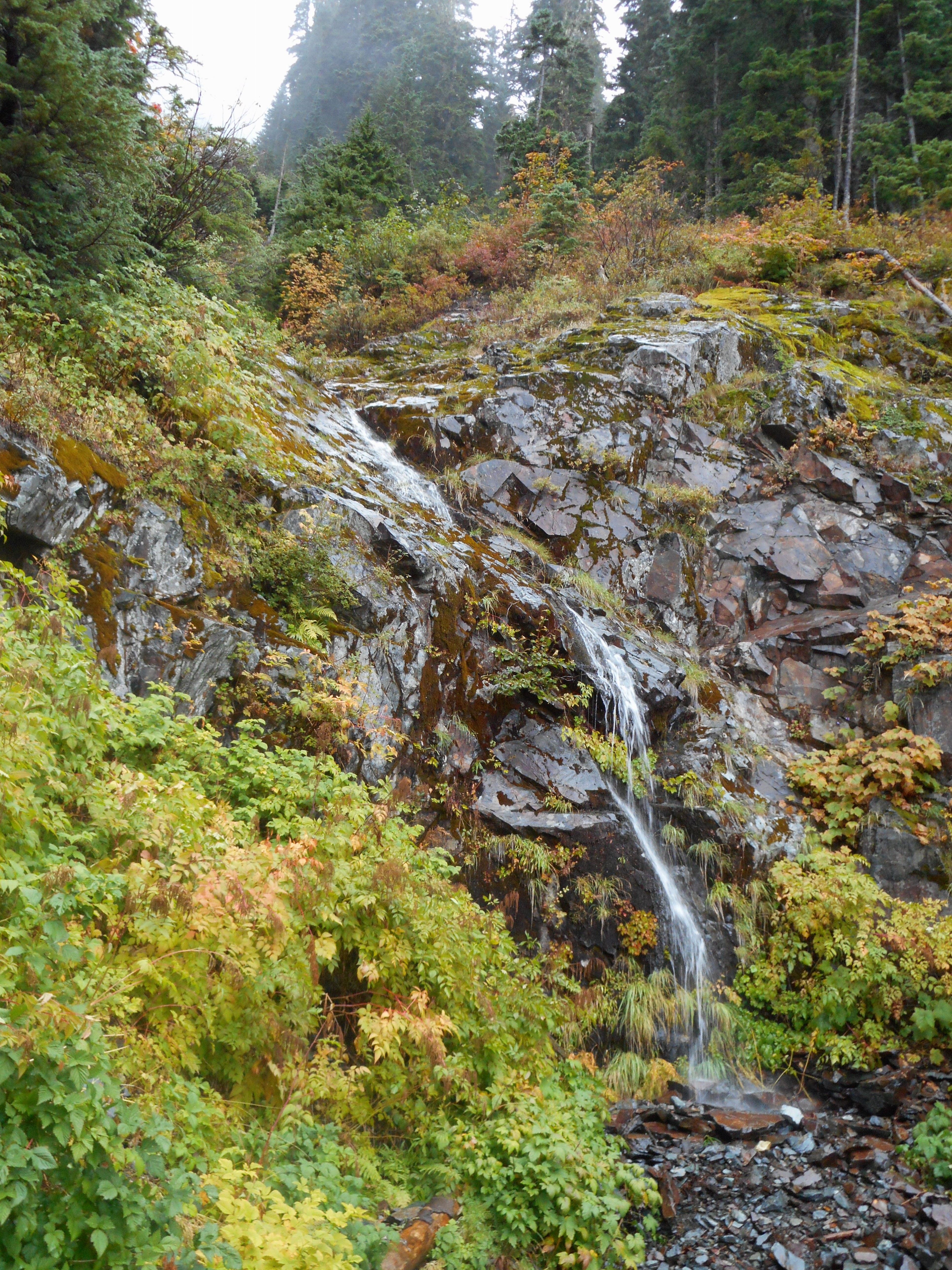
And, naturally, we got to share some space with a mellifluous little waterfall.
Waterfall on the mountain
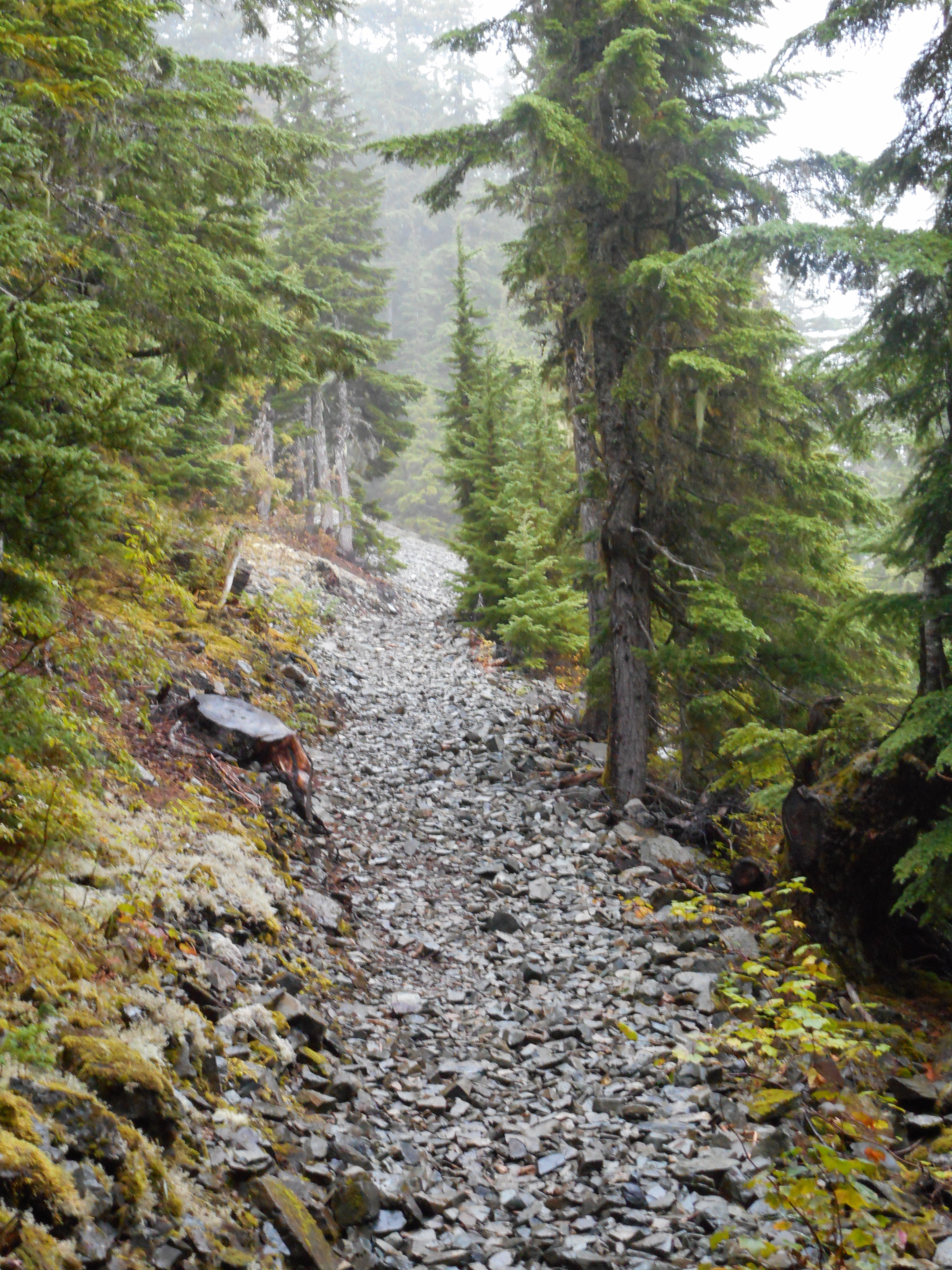
Finally, I was emailing with George and Darell about the talus field – we confirm it starts at 2.2m from the parking lot but it is only about .2m in extent.
Start of talus section
We are talking about doing something this Saturday – let’s hope!
This was a wonderful hike, muscles not sore, great workout, we are mighty lucky people.
Update 9/16: Our Garmin recorded the hike and here it is on Google Earth. I love this stuff!