Rattlesnake Mountain 8/29/15

Luxurious trail
Luxurious trail

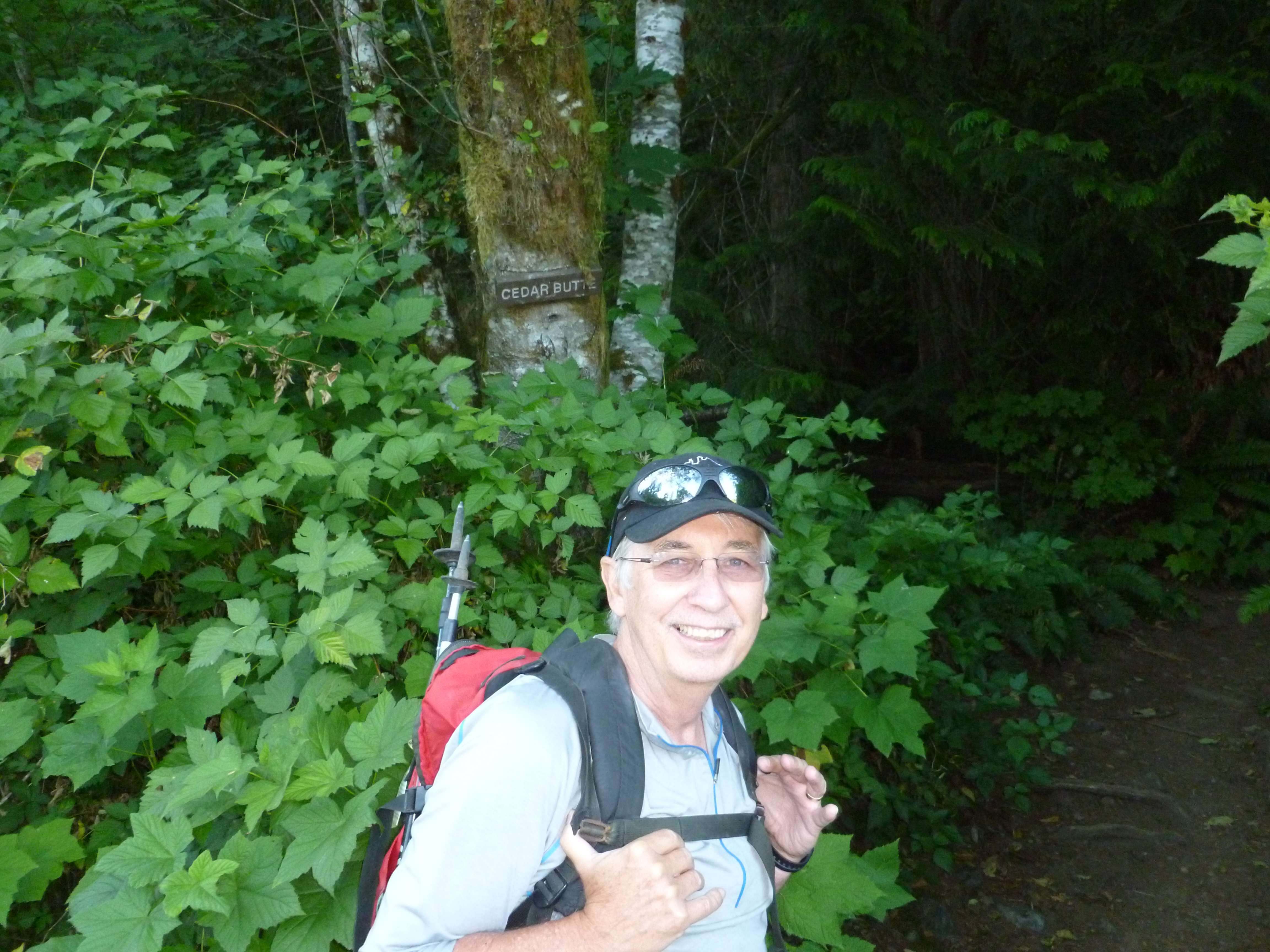
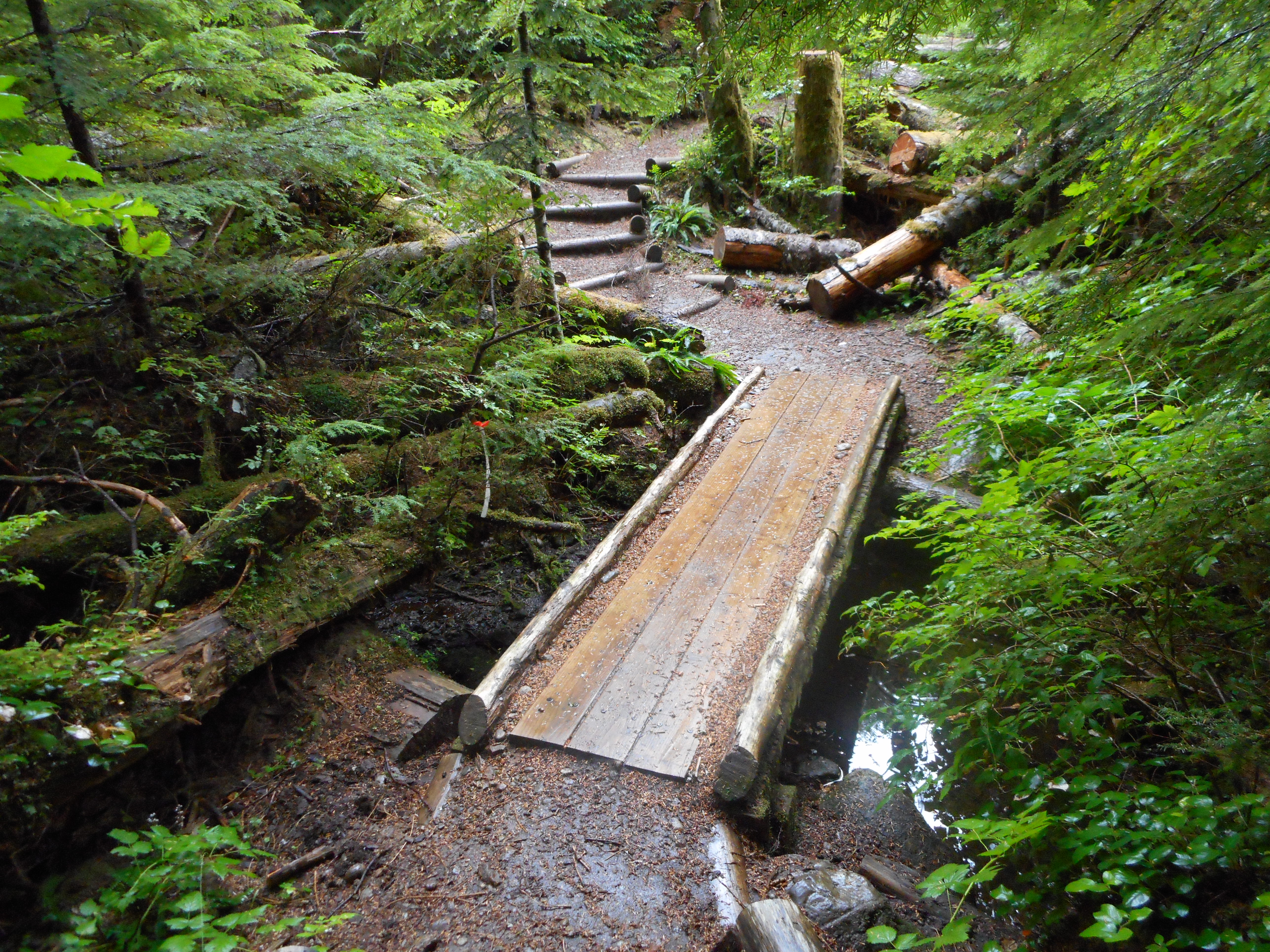
Our goal was to use our Garmin eTrex 20 to map Rattlesnake Mountain.  Alas, between the two of us we did not have the foresight to bring extra batteries so when it died, the mapping function did as well.  We had to settle for following our progress on the Green Map we brought.

Rattlesnake Mountain

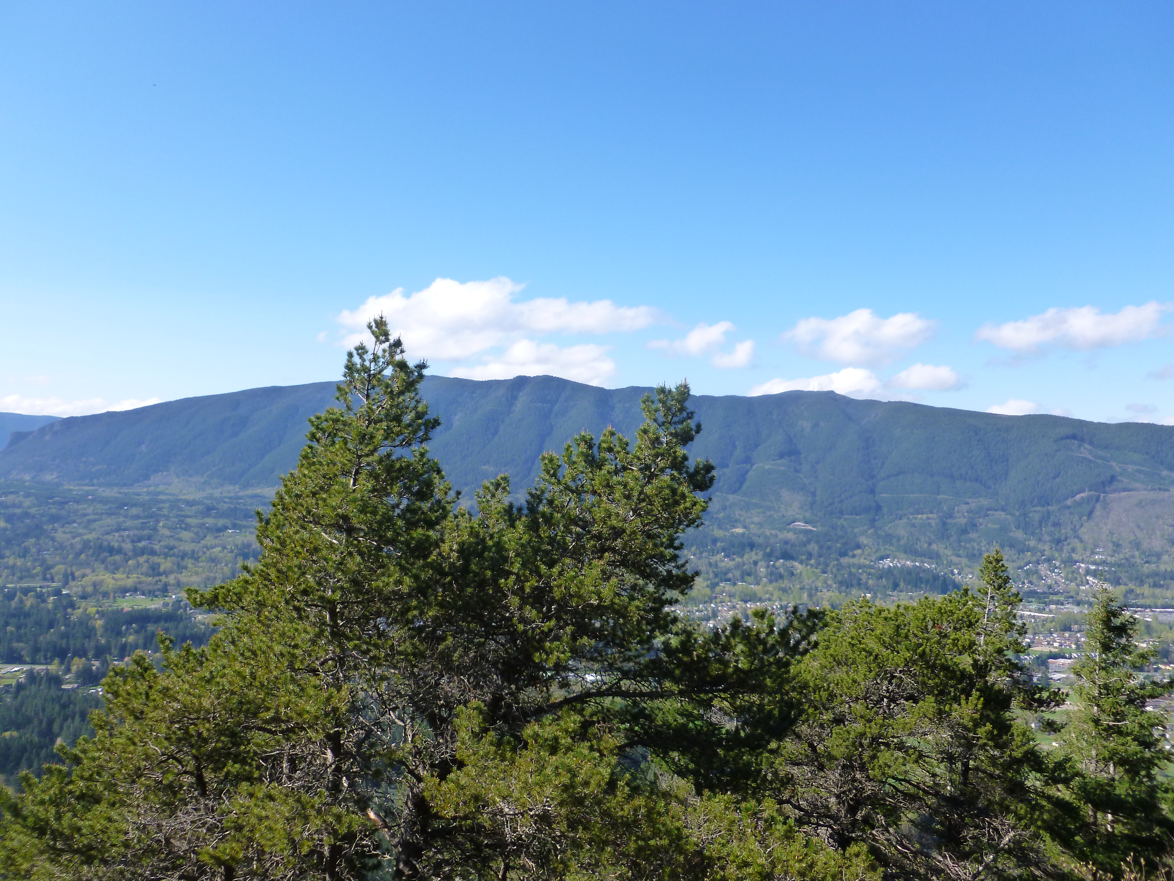
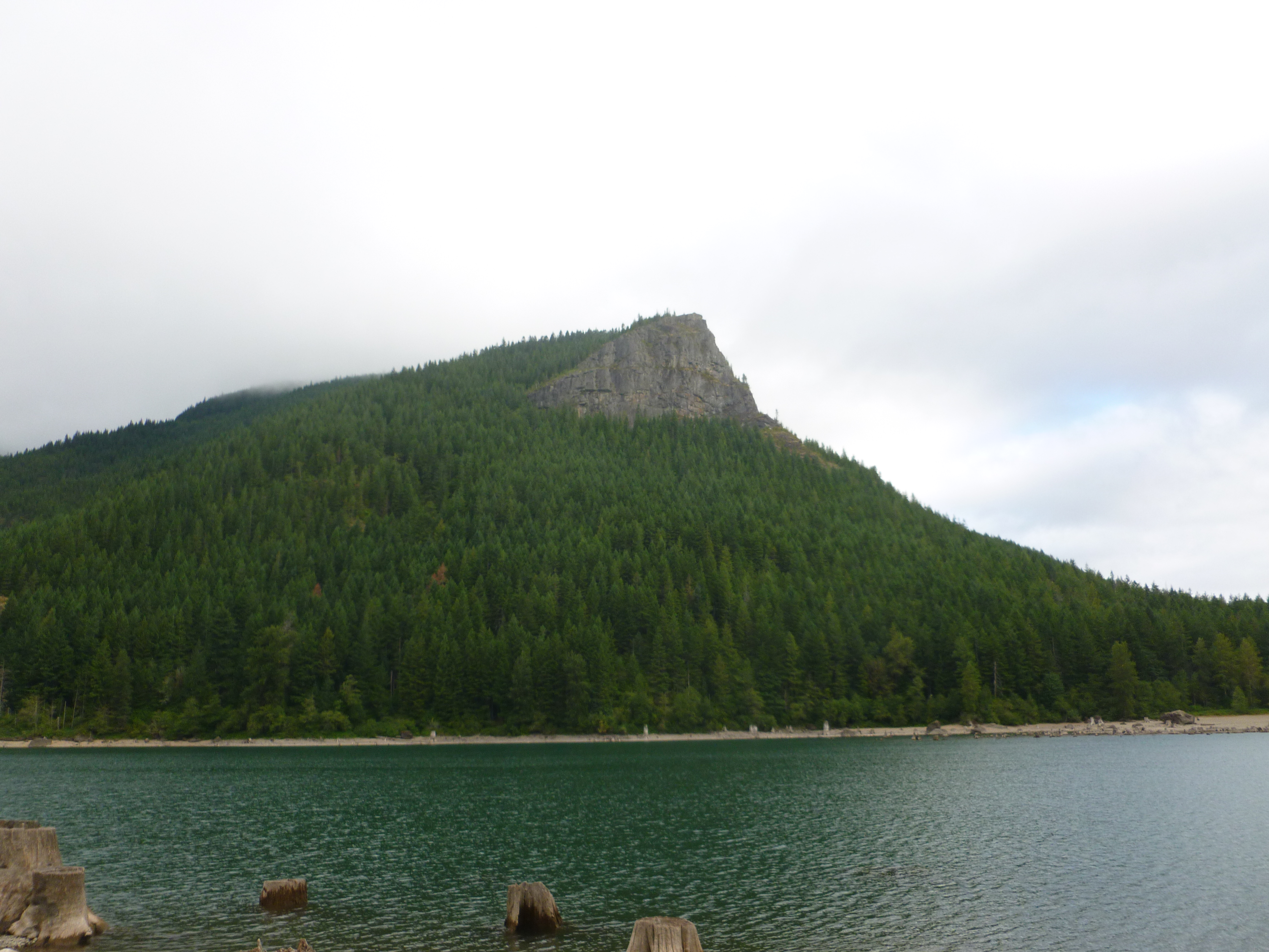
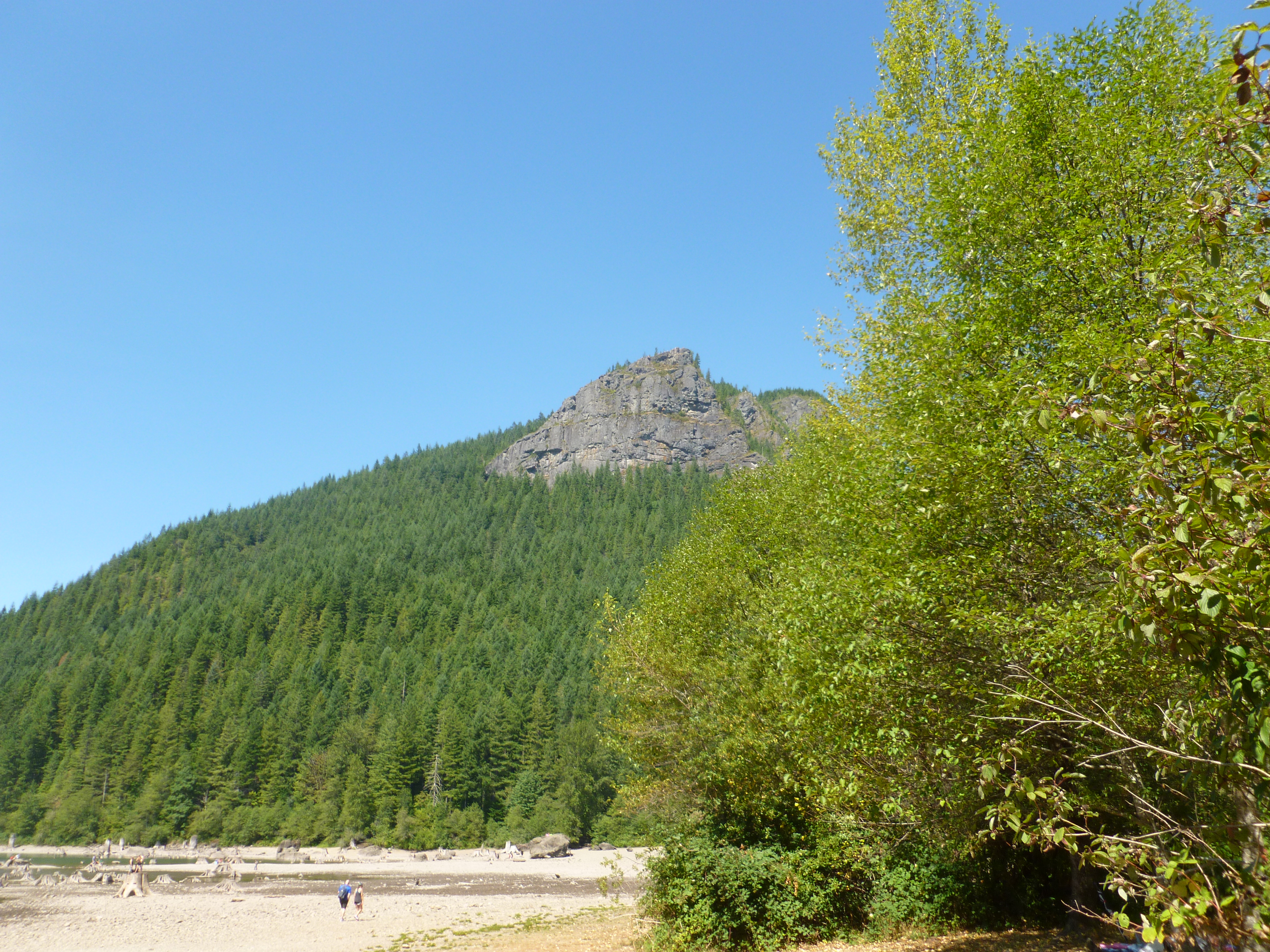
That’s what the mountain looks like from the other side of the freeway, and on a nice, sunny day.  Yesterday – not so much.

We were absolutely drenched, harking back to our very first hikes and to our first hike across Rattlesnake.  Rain ended eventually, as did the high winds (power at our house out most of yesterday and last night, with Cam and Fin over we had an adventurous evening) and we eventually found ourselves back in civilization.

A nice hike, physically just what I needed after so little hiking following the July 4 calf blow-out.

View through the trees

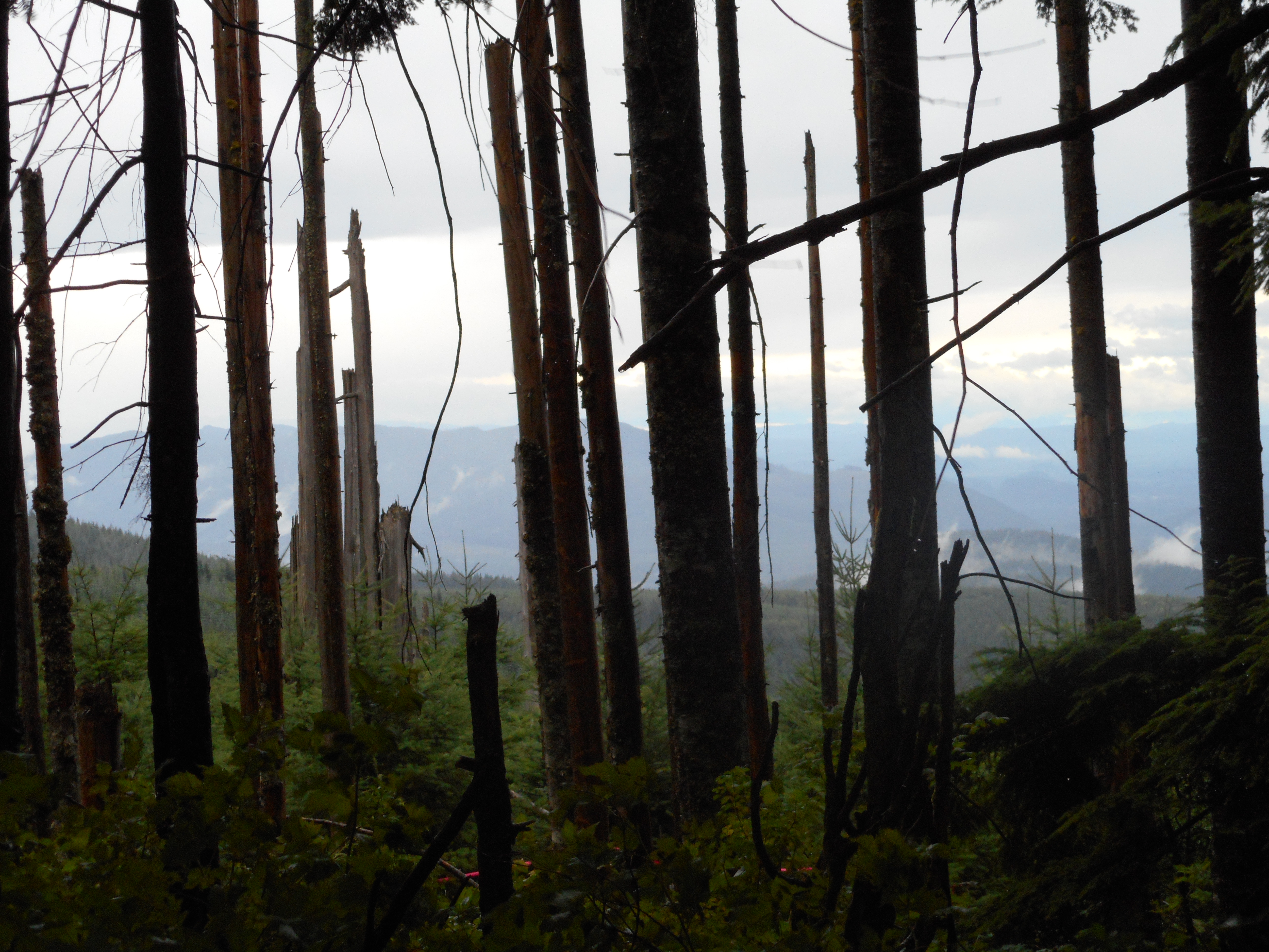
The wind storm yesterday was very un-August-like and gave us a few anxious moments, particularly when we passed by some trees that looked like they were saving up their final fall for the moment when hated humans were passing beneath on the trail.

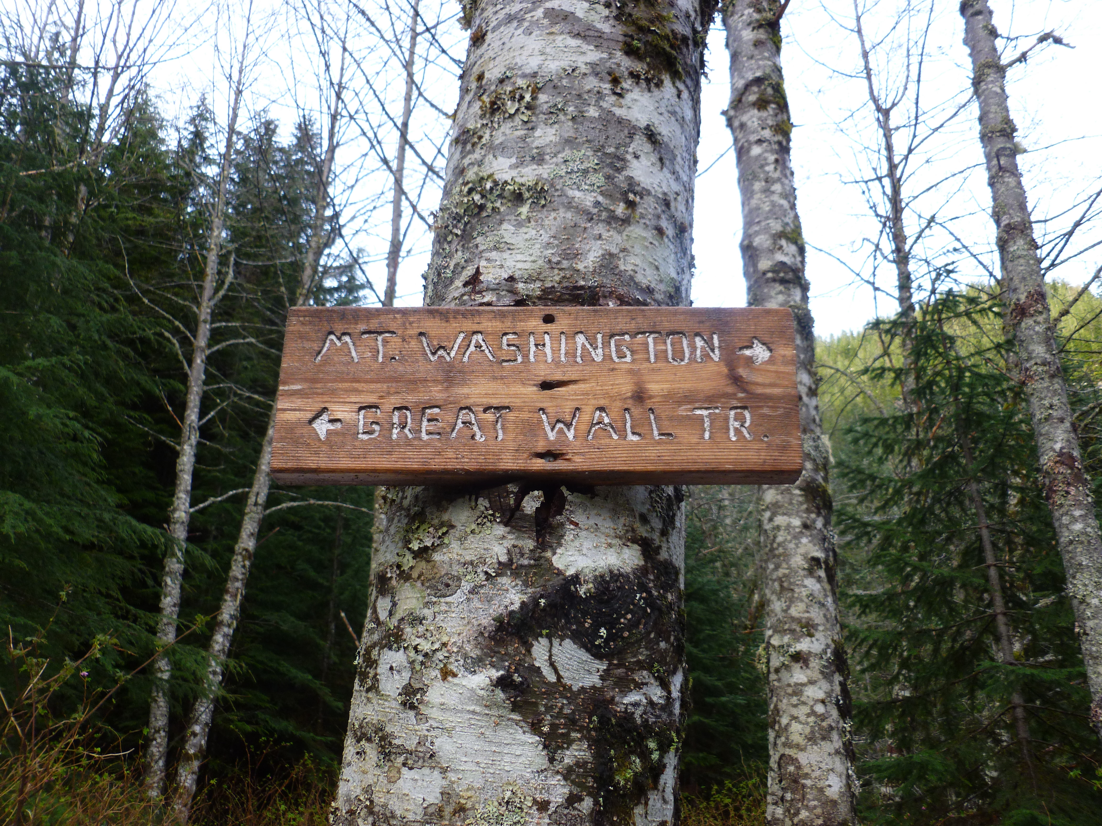
Next weekend is a long weekend and we expect to do some kind of hike, probably on Labor Day.  I am thinking of an afternoon Mt. Wa conditioning hike during the week but I will have to play that by ear.

Our last two hikes – 8/16 and 8/21/15

Great Wall
This way to the Great Wall

Alas, there is no way to the Great Wall right now, it is shut down for either logging or some kind of maintenance.

We learned that on the hike we did on Sunday, 8/16.  No photos since then because I somehow left the camera on the hike.  I have a new one but we did lose a bunch of pictures.

Anyway, we got to the trailhead and started at 5:05 AM.  I was wearing a headlamp, it was dark.  We planned to go up Change Creek to the Great Wall and wing it from there – perhaps go to Change Peak, perhaps explore some side trails – but we hit a sign that told us the Great Wall was closed.  And I don’t have the photo we took of the sign.

All was not lost, though, as our original plan included side trips to explore the vicinity of J’s Landing and Hall’s Point, which we did.  We went down to the little pond as well.

All told it was about 8 miles, a bit less than 3,000 feet of elevation gain, and a nice day.

The 8/21 hike was last Friday.  I was in the area of Derek’s house because I was scheduled to be a marshal at the pro golf tournament around there (The Boeing Classic, won by Billy Andrade by the way) so I stopped at Derek’s house about 6.  We hiked the trails around his house for a couple of hours, probably covered six miles and then he had to get ready for work.

I was going to do a solo hike last Sunday but I wussed out.  This is fire season, the area is reeking from the smoke of the out-of-control fires east of us, and I decided not to risk being in the middle of the woods with such a fire danger.

We are planning a hike this Saturday (rain forecast for Friday and Saturday, which is actually good news, as rain never stops us from hiking and it does reduce the fire hazard) and following that I will be driving Fin and Cam home for a stayover visit.

So – great weekend planned.  And I will take better care of our new camera.

Random Wanderings – solo 8/5/15

My new trail buddy
My new trail buddy

I met a little cutie this morning on the trail.  I kept a respectful distance and she was kind enough not to immediately run away.

I drove to my usual Rattlesnake Lake upper parking lot and, after going up and down Cedar Butte again (trying to get back in shape after 5 weeks of very little hiking) I decided to check out a side trail – it is on the north side of Iron Horse just a bit west of the western end of the Boxley Creek  bridge – and I had a fun time from there.

This trail led north and west and meandered through the forest past a nice pond. It was a great alternative way to and from Cedar Butte.  It hit the Sno Valley trail a bit north of Rattlesnake Lake so I walked down to the Cedar River Interpretive Center (http://www.seattle.gov/util/EnvironmentConservation/Education/CedarRiverWatershed/CedarRiverEducationCenter/index.htm).  I headed back north via the Lake Trail for awhile and then cut over to Rattlesnake Lake.  From there I decided to walk all the way around:

The place looks different on a Wednesday

I was there and there were two kayakers but the place was otherwise empty.  I did encounter a family of geese on the trail so I slithered by to the sound of hissing and skated away.

Along the way around I noticed a stark reminder of what we humans do vs. what nature does.  We don’t look good.

Rattlesnake Lake is man-made.  Where the lake is there used to be forest.  Right now the water is low and look at all the stumps; and notice the beautiful mountain view beyond the stumps:

Man vs. Nature
Man vs. Nature

But if you look in the right place around there it is nice:

A tranquil scene
A tranquil scene

And back by the interpretive center I noticed they are doing a project to replace intrusive weeds with native growth.  How nice for this area!

A local project
A local project
New native species
New native species

Finally, back at the car I noticed I had the lot to myself.  A first time for coming back – a slightly cool summer weekday is what it takes, I guess – but it was a very nice and pleasant ramble.

Now this is a rare scene

Cedar Butte & Rattlesnake Lake w/Dennis M 8/1/2015

Dennis at Cedar Butte trailhead
Dennis at Cedar Butte trail head

Dennis Matthews, fairly freshly back from five weeks in Germany has had a bum knee – knee surgery a few months ago – so he needed a fairly mild hike.

So did I.  My last hike, July 4, was terrific but that night my left calf more or less blew up (pulled muscle and muscle spasms) so this is the first hike I have done since then.

And I was so careful today – stretching before and after the hike, lots of electrolyte replacement (think: Gatorade/G2), compression sleeves on my calves, and not straining too much.

So we did Cedar Butte, as I had done on 7/3 with Derek and Rick.  On the way down we investigated the Southside Trail but didn’t go too far, since we were without GPS or map.  Something for me and Derek and the Garmin to check out.

On the way back we checked out Rattlesnake Lake:

Rattlesnake Ridge from Rattlesnake Lake

And the lake, in spite of the rocky shore (no beach, sadly) is very popular:

Rattlesnake Lake is popular

And as we left we noticed a cool stump, a remnant of the logging back in the day (as are all the stumps now visible due to low water level in the lake itself):

Awesome stump
Awesome stump

So that’s it – not sure how far we went, maybe 7 miles or so, we were not exactly making record time, plenty of long breaks, about 5h 15 minutes.  But lots of fun.

Dennis wants our next hike to be Mason Lake and that sounds good to me.  As for me, next weekend I will see about doing something like Mt Washington again, as I am planning a hike with my friend Bruce Stobie and his pals up McClellan Butte on 8/16.

I definitely need to get back in shape for that one.