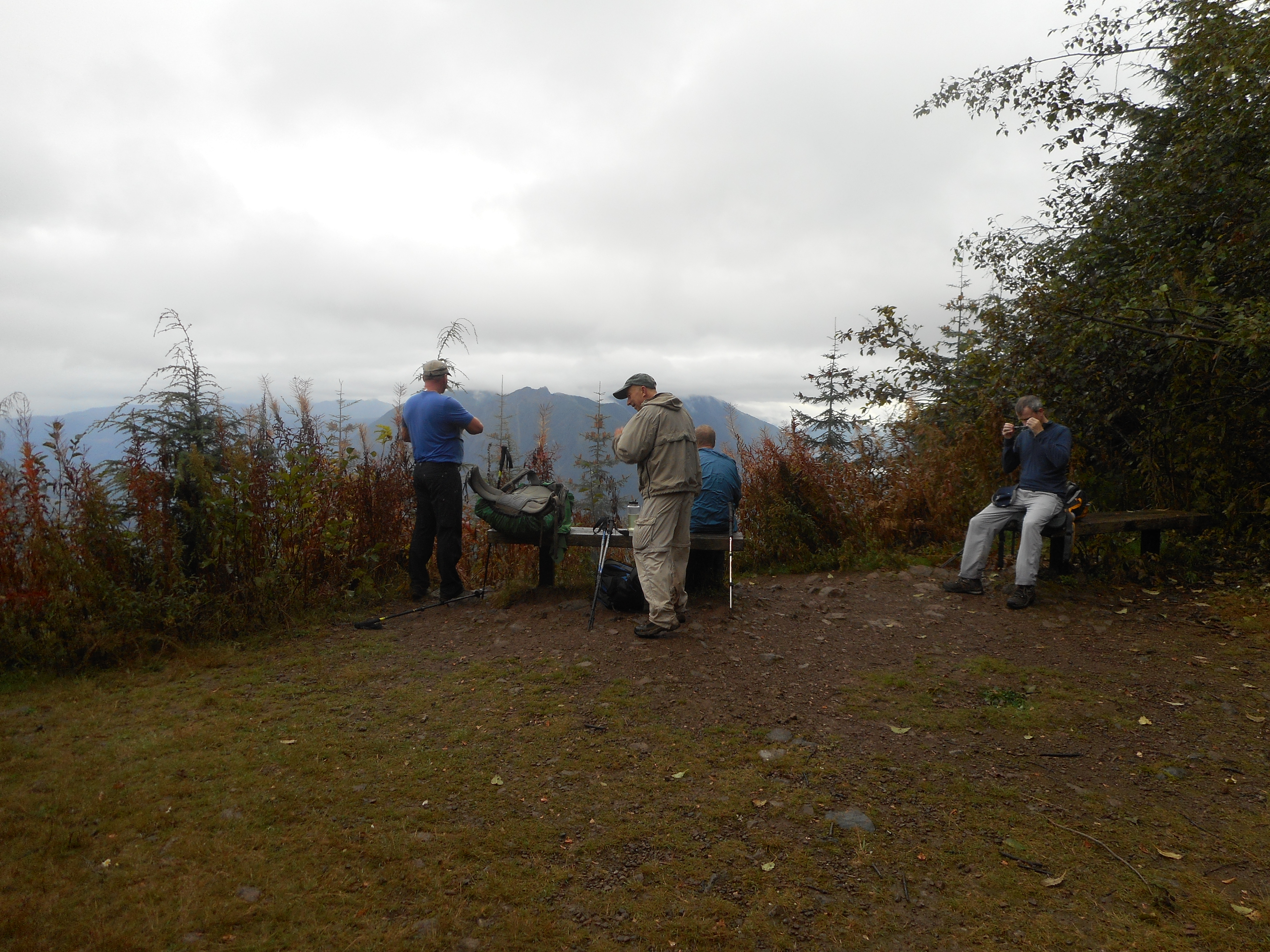
Nice hike today with Ken, Mark and Greg. Fun group. We did a loop in which we went up to West Tiger 1 summit, then down, then up to Tiger 2, then back to where we started at the Tiger 1/2 gate.
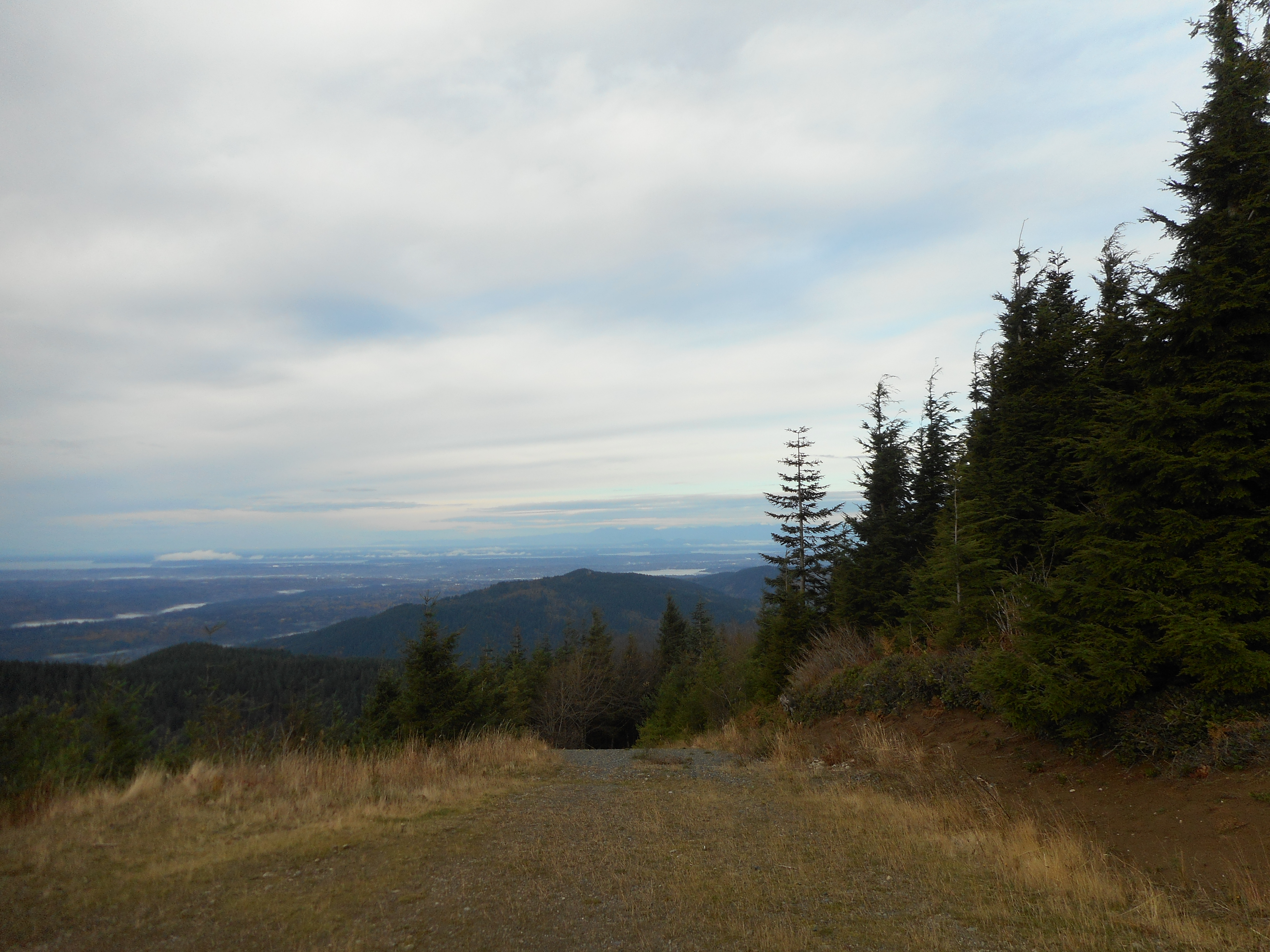
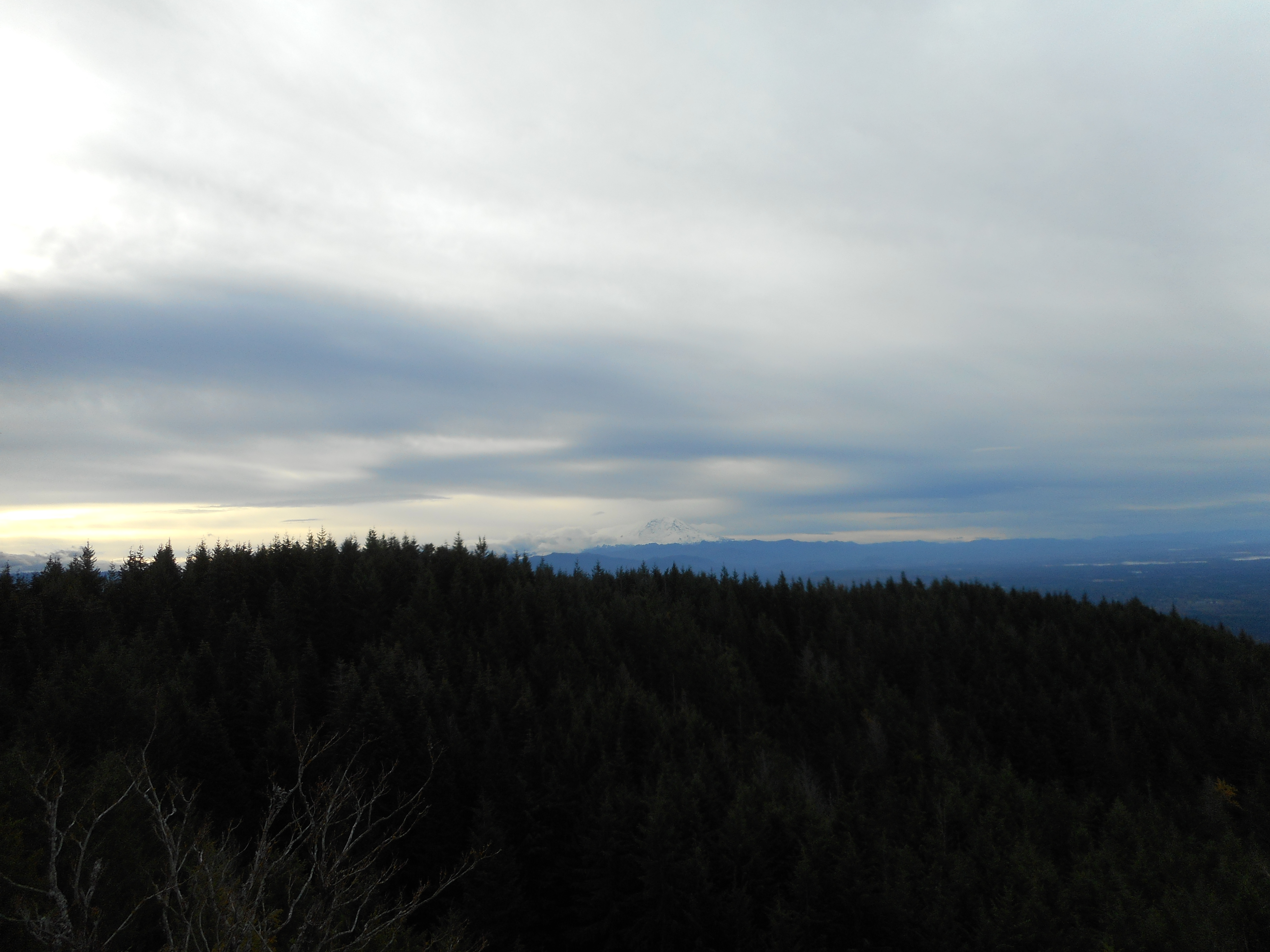
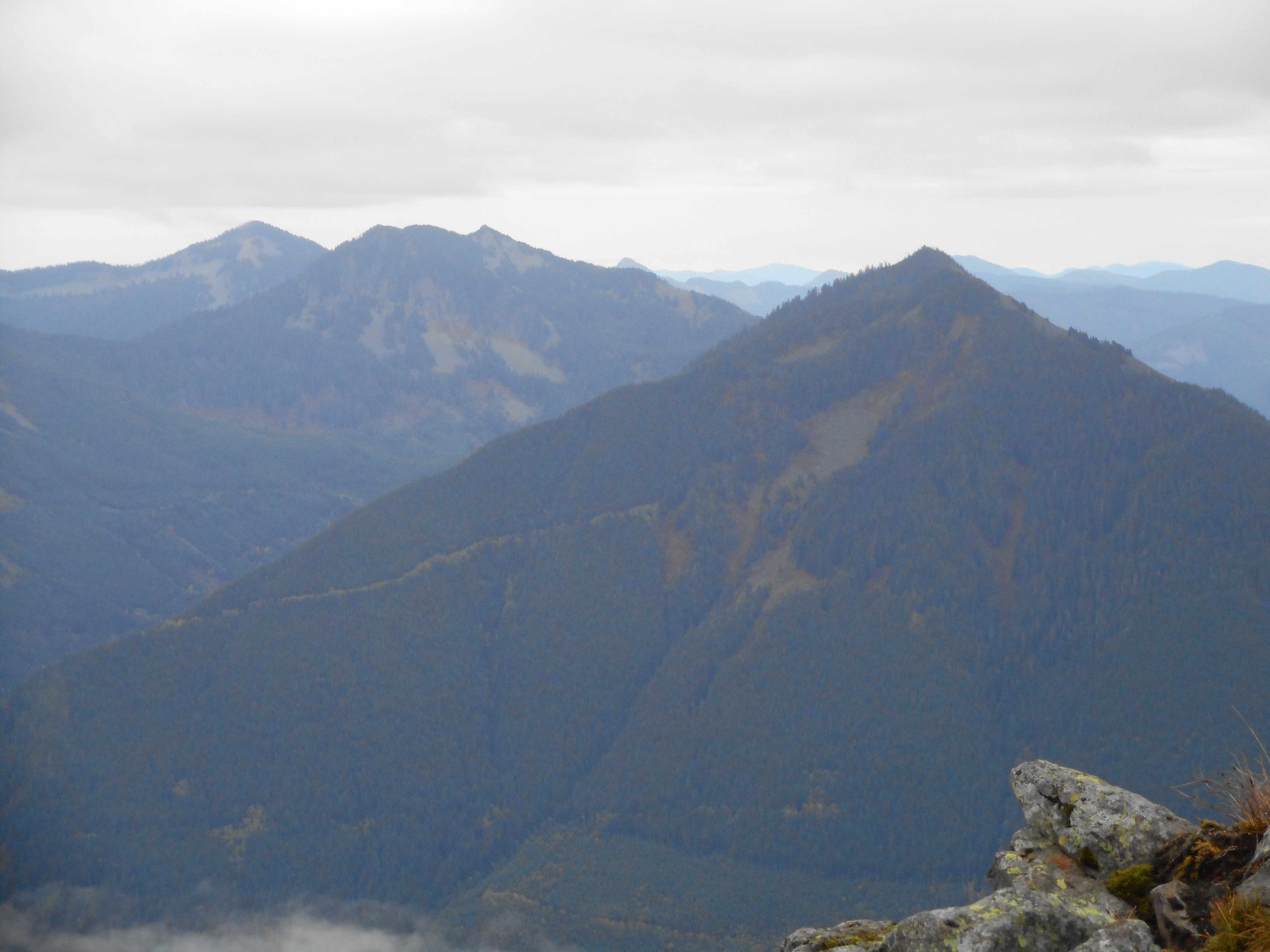
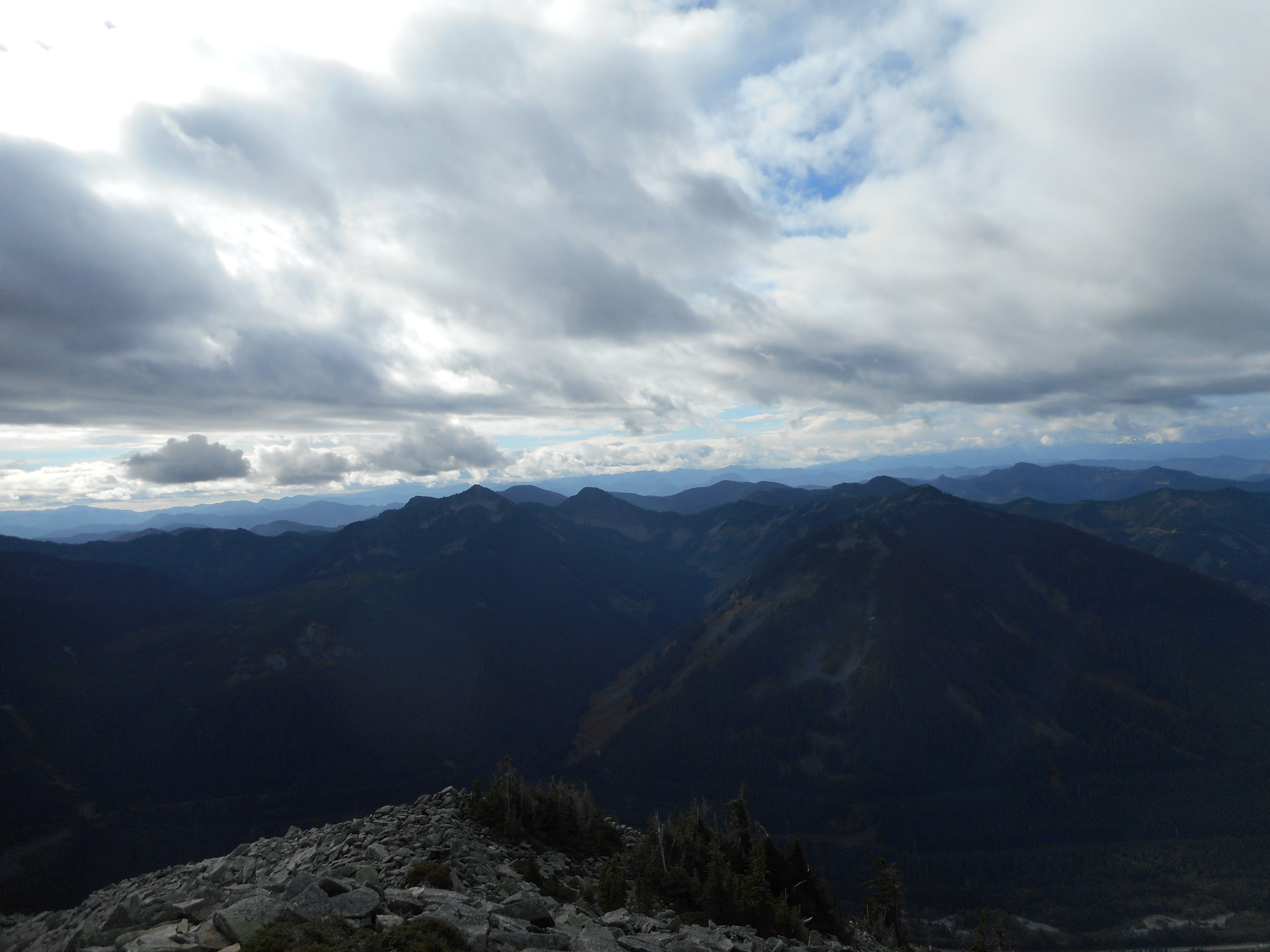
Not a massively scenic route, it is mostly through the forest, but at the Tiger 1 summit there is a nice view.
Looking northwest from Tiger 1 summitSlight view of RainierGetting ready for a brief summit break
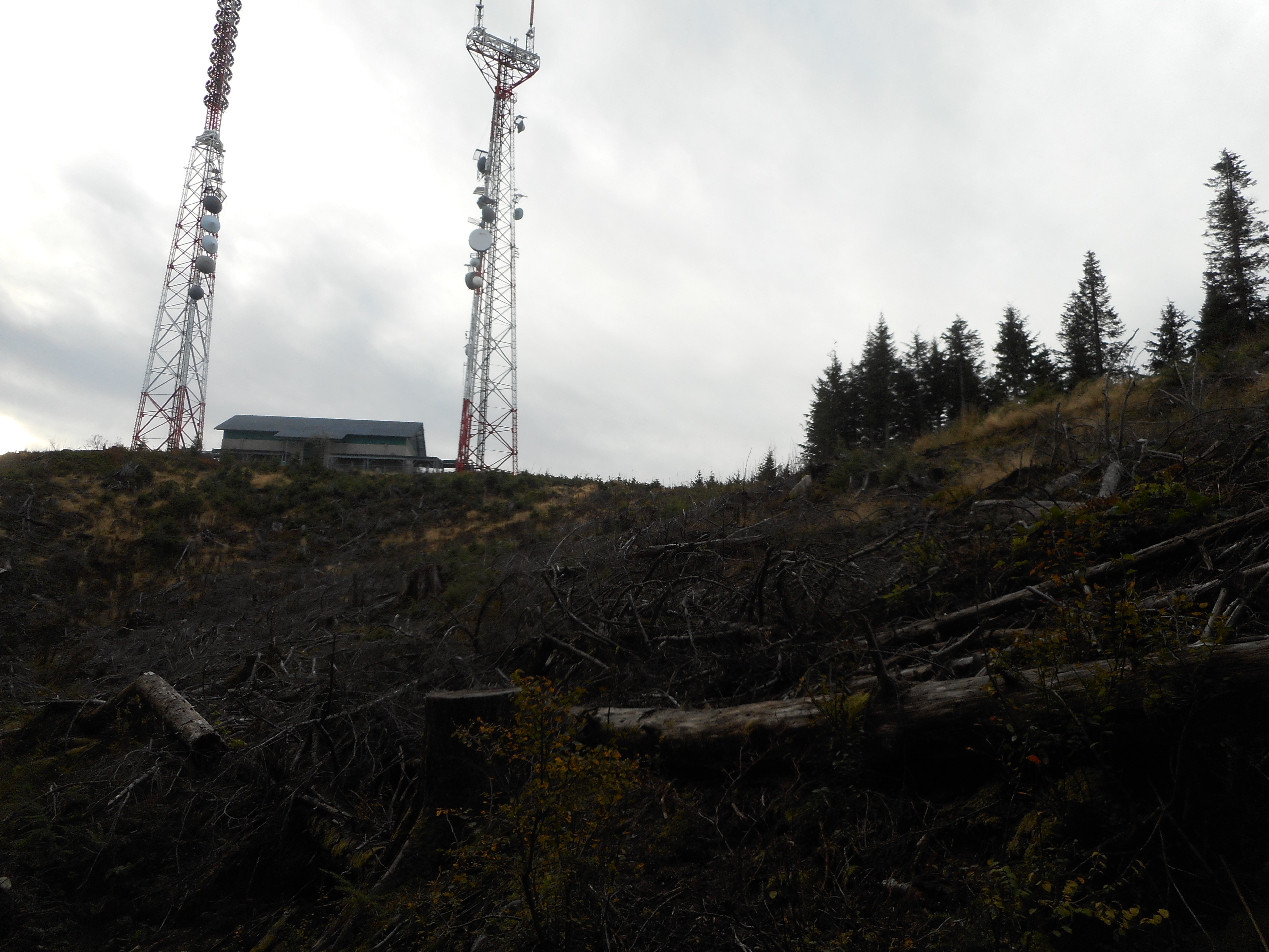
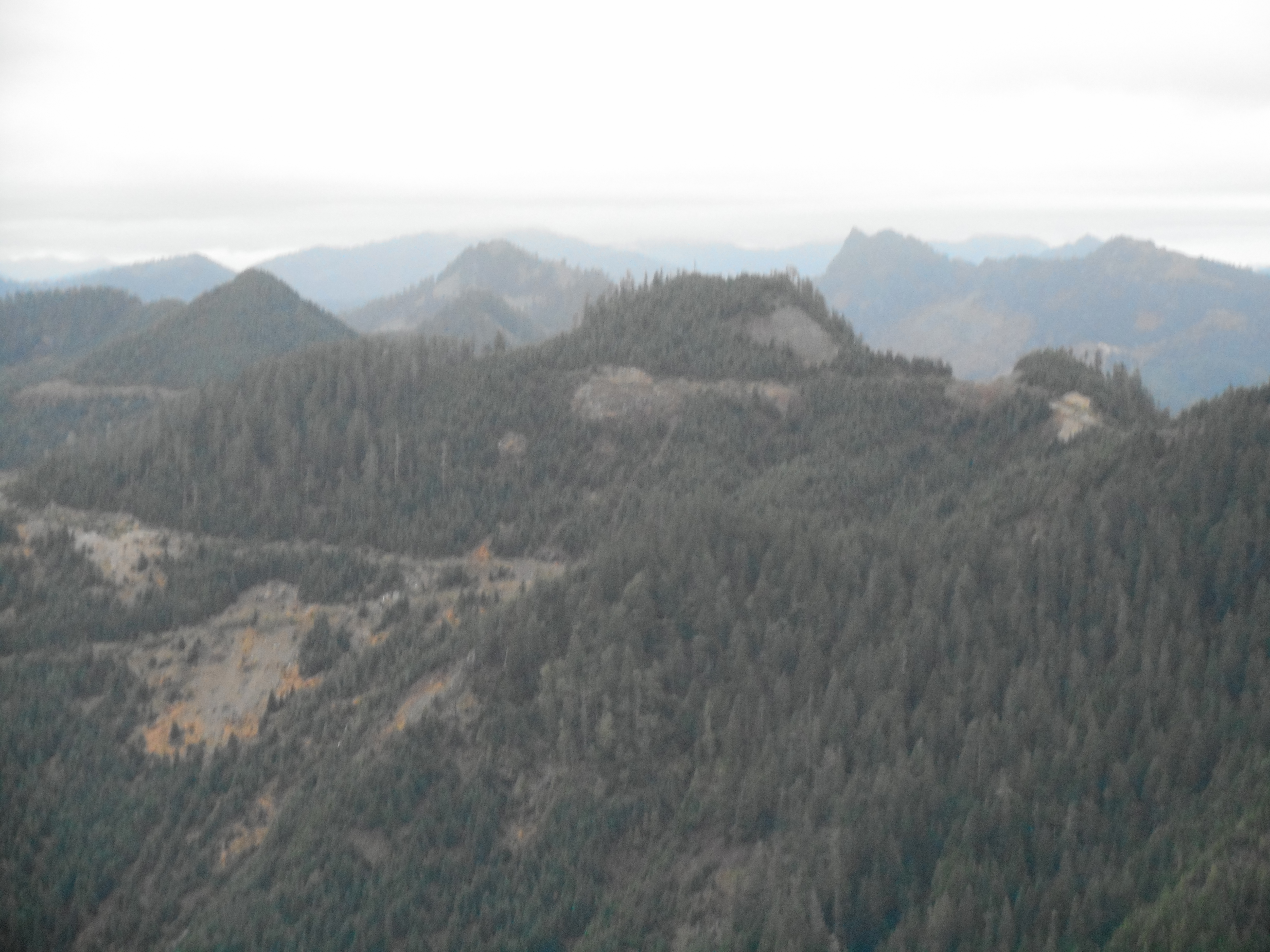
The first time I was up here, last year with Derek, they had logged a big section near the summit and the trees were all over the trail. Getting through was very tough. At least they have sawed through the trees and the going is much easier. But the place is still ugly:
Infamous Tiger 1 clear cut
7.5 miles, 2,840 feet of elevation, three and a quarter hours, nice workout!
This hike is just about at the far edge of my physical abilities right now. When I retire and get to hike several times a week I will be in better shape. But this is a tough hike.
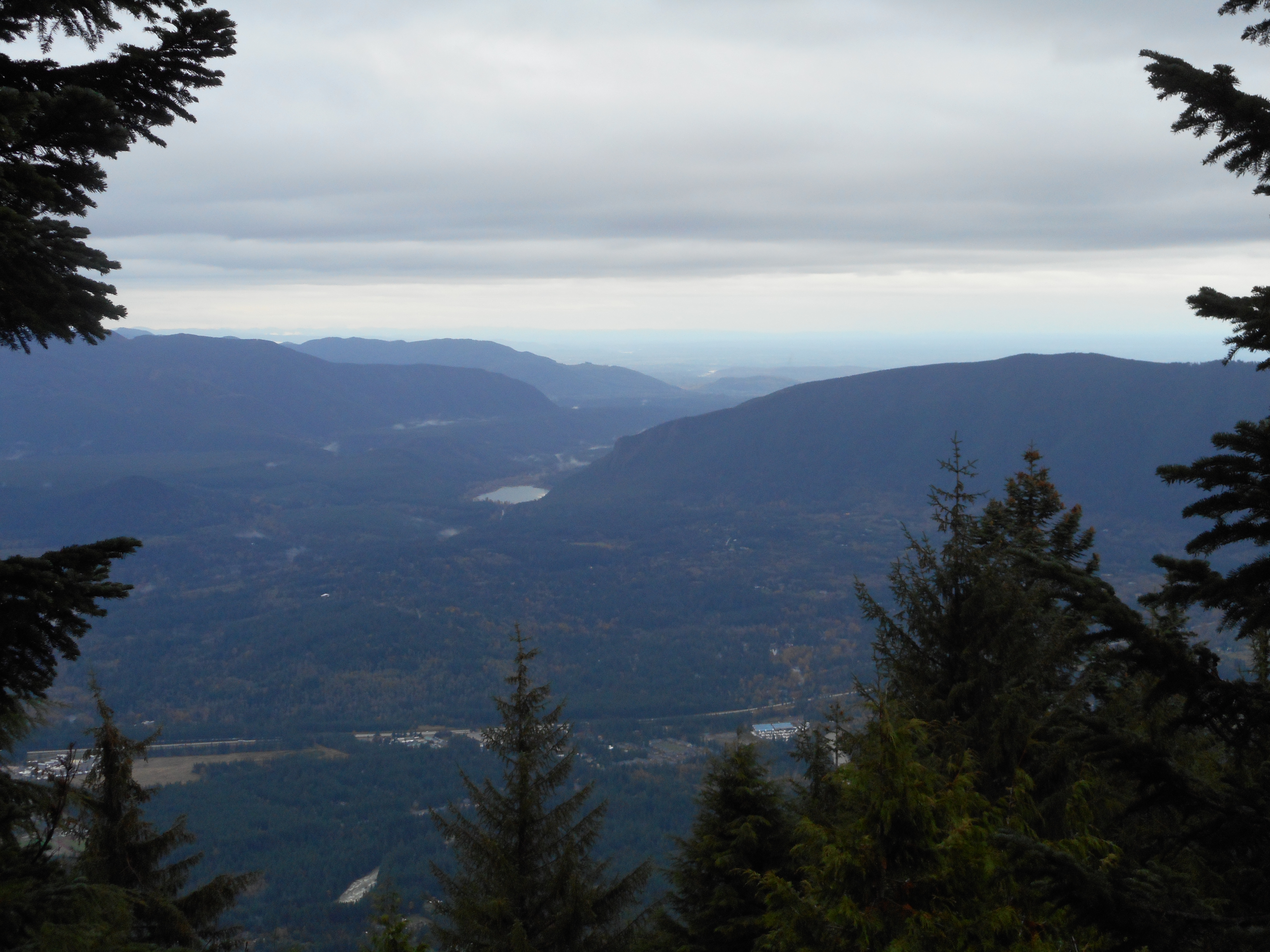
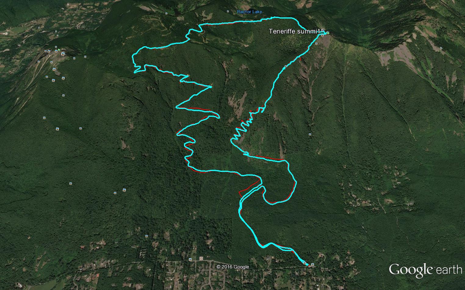
We started up the trail at 5:35 am in headlamps. With only the headlamps to illuminate the trail we made our way up the moderate, wide, well-kept main Teneriffe trail to the junction with the Teneriffe Falls trail.
That trail is fine for awhile, but the closer you get to the falls the steeper it gets. You have to clamber up and over rocks and roots – very tough.
At about 2,800 feet what we call the Kamikaze Trail begins in earnest. From that point to the summit, at 4,780 feet, it is a bit less than a mile. My calves were killing me it is so steep.
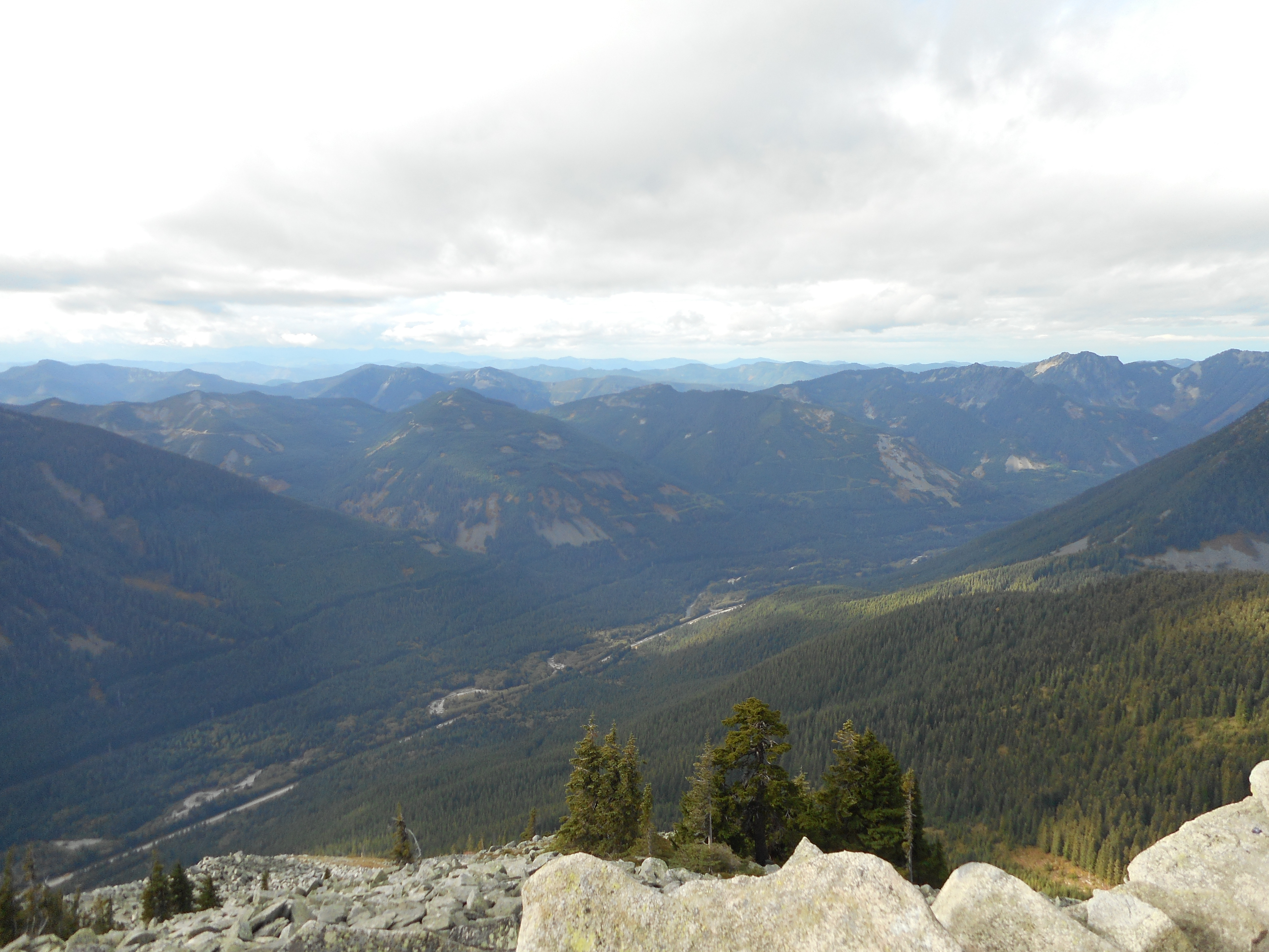
But we made it to the summit and the views were surprisingly good. The surprise comes from the fact that once again the forecast was for rain but it didn’t rain a bit. And we could see our surroundings at the summit, and again when we were descending, which we did via the main trail.
Mountains galoreLooking backOn the trail
Derek and I love to get scenic views of the hikes we do. South, across the freeway, was Rattlesnake Lake and Rattlesnake Mountain.
Rattlesnake Lake and Mountain
10.7 miles, 4,193 feet of elevation gain (in about 3.7 miles), almost six and a half hours. A nice hike with plenty of workout.
Weather forecast was slightly dismal today, supposed to rain so George del Campo and I both had our hiking-in-the-rain gear with us. But it was gorgeously sunny the whole way. We lucked out today.
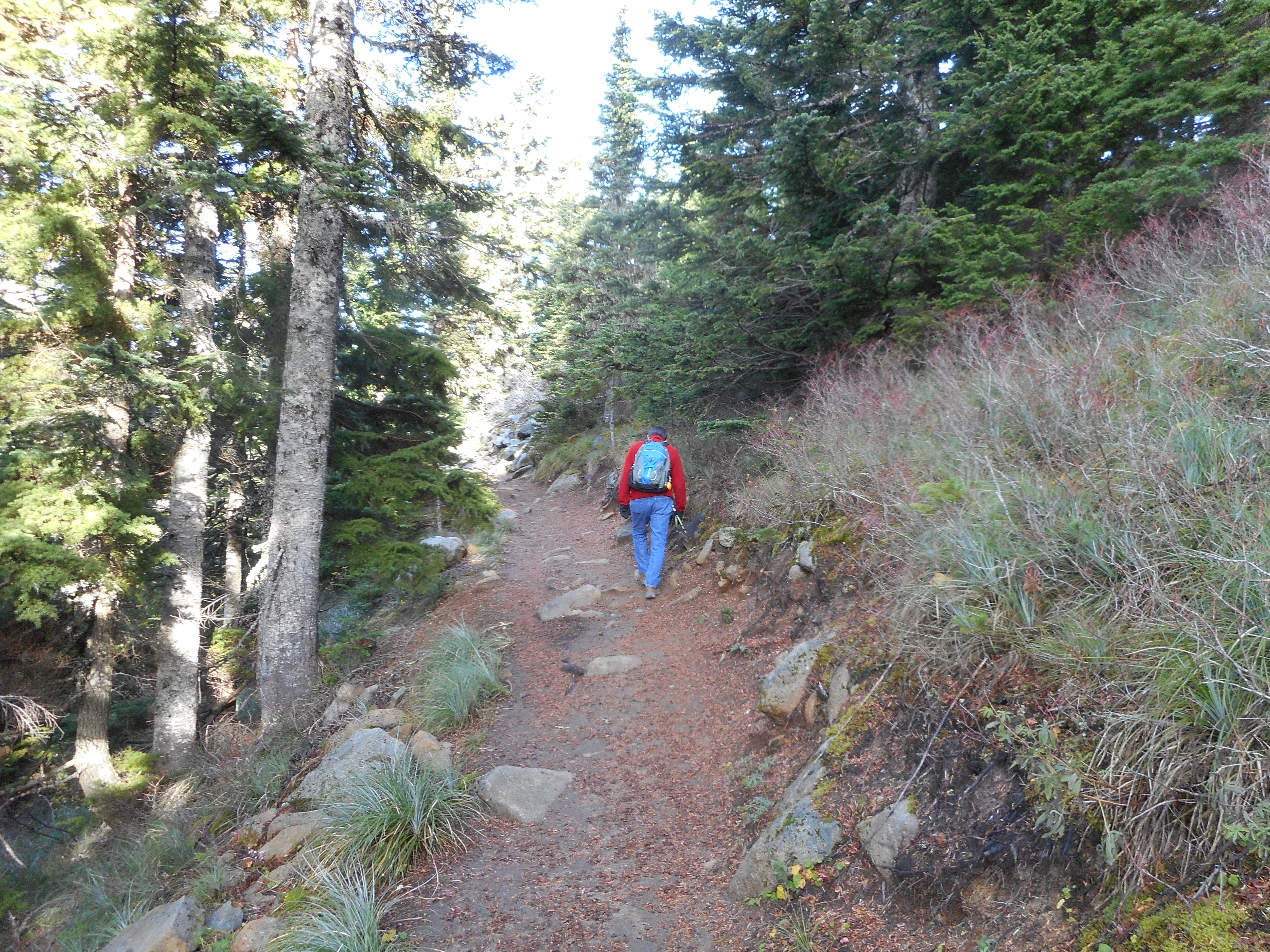
This is a nice hike, not extreme but solidly in the medium-tough category. It is fairly flat for the first 1.6 miles on the Ira Springs Memorial Trail but then it gets steep for 1.3 miles. You go up to about 4,300 feet fairly quickly.
George hiking upwards at 4250′
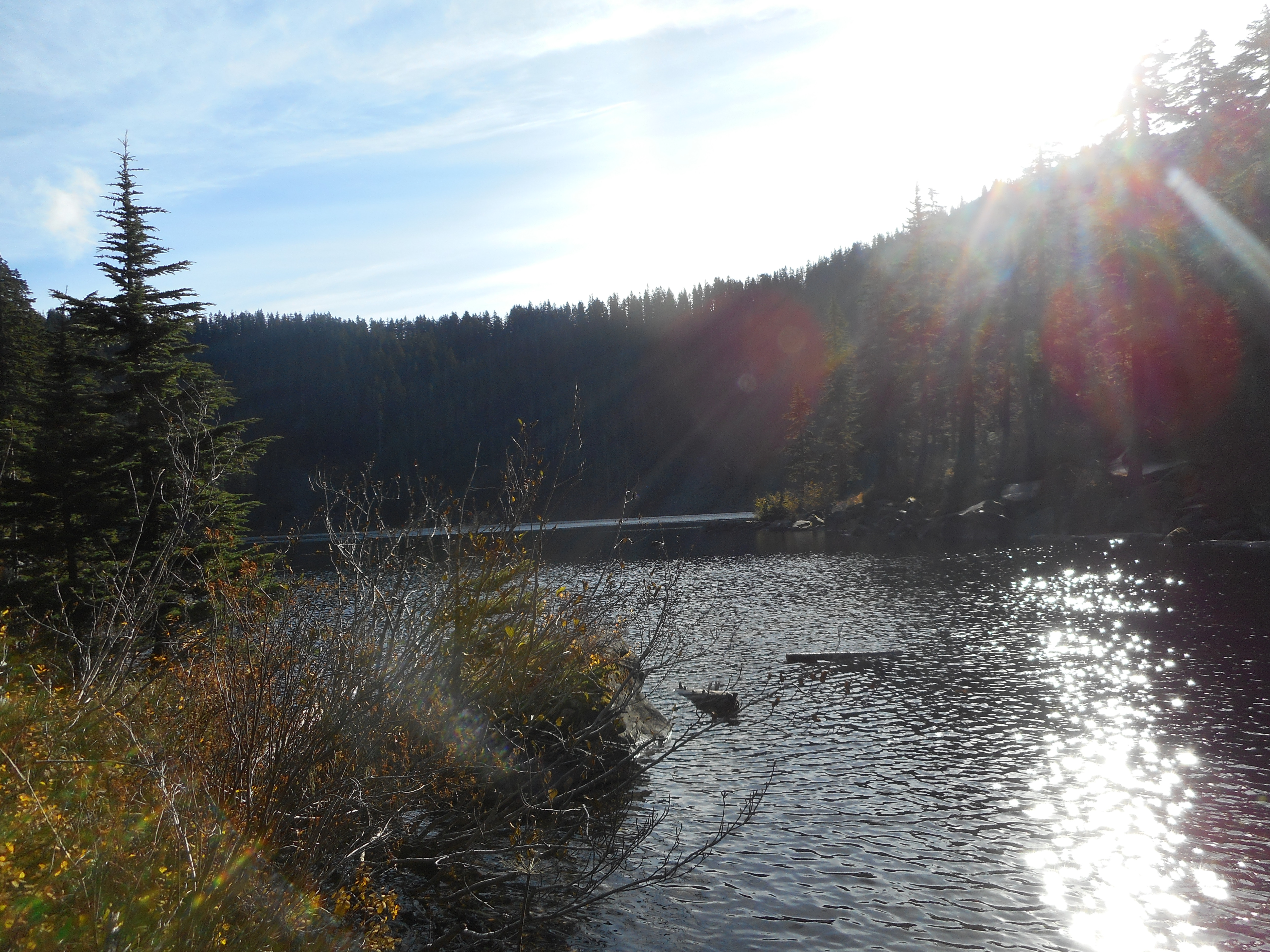
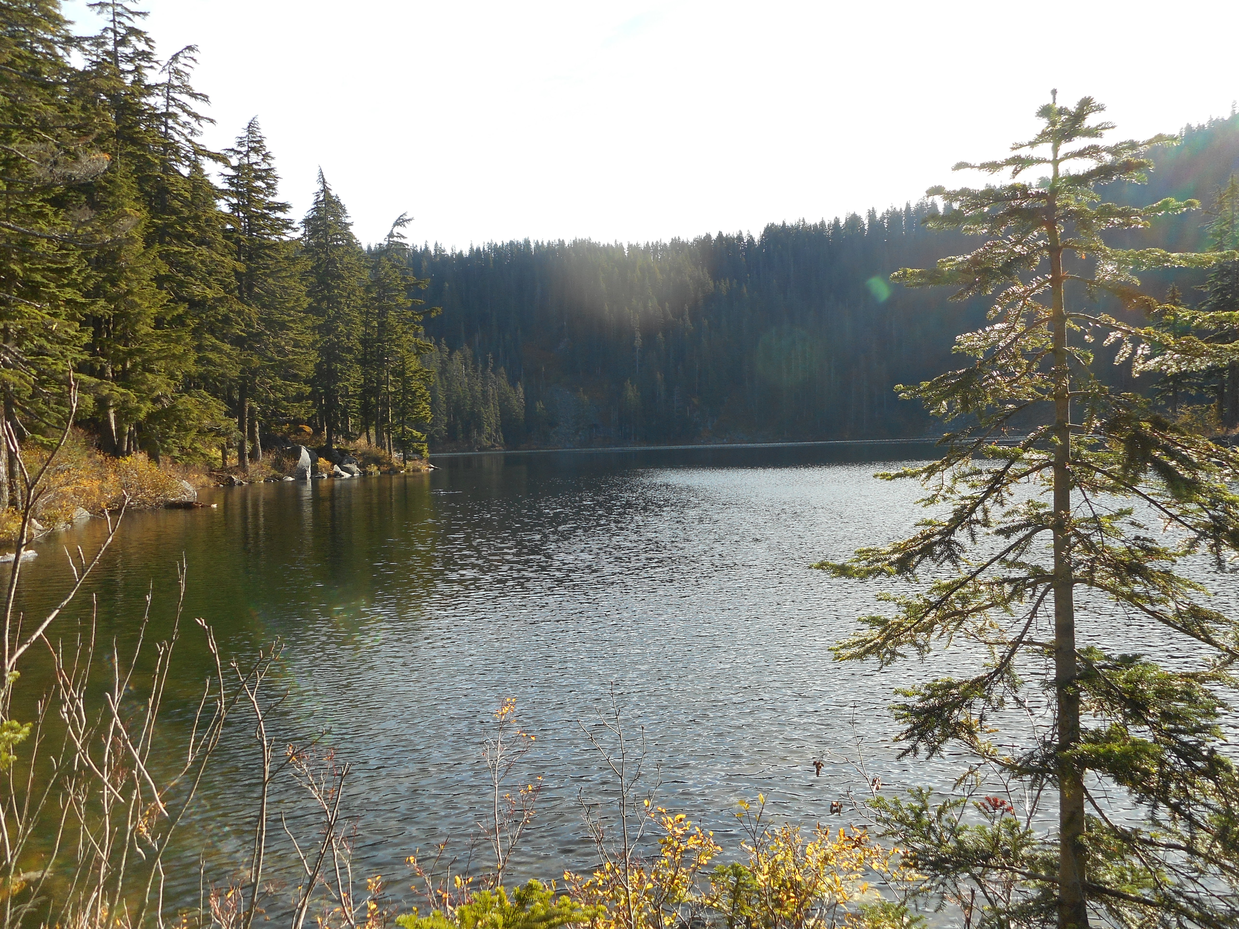
Just past where this photo was taken the trail goes down to Mason Lake.
Mason Lake looking northwest
This is where Derek and I are going to go with the inflatable kayak. How much fun would it be to kayak around this beautiful alpine lake?
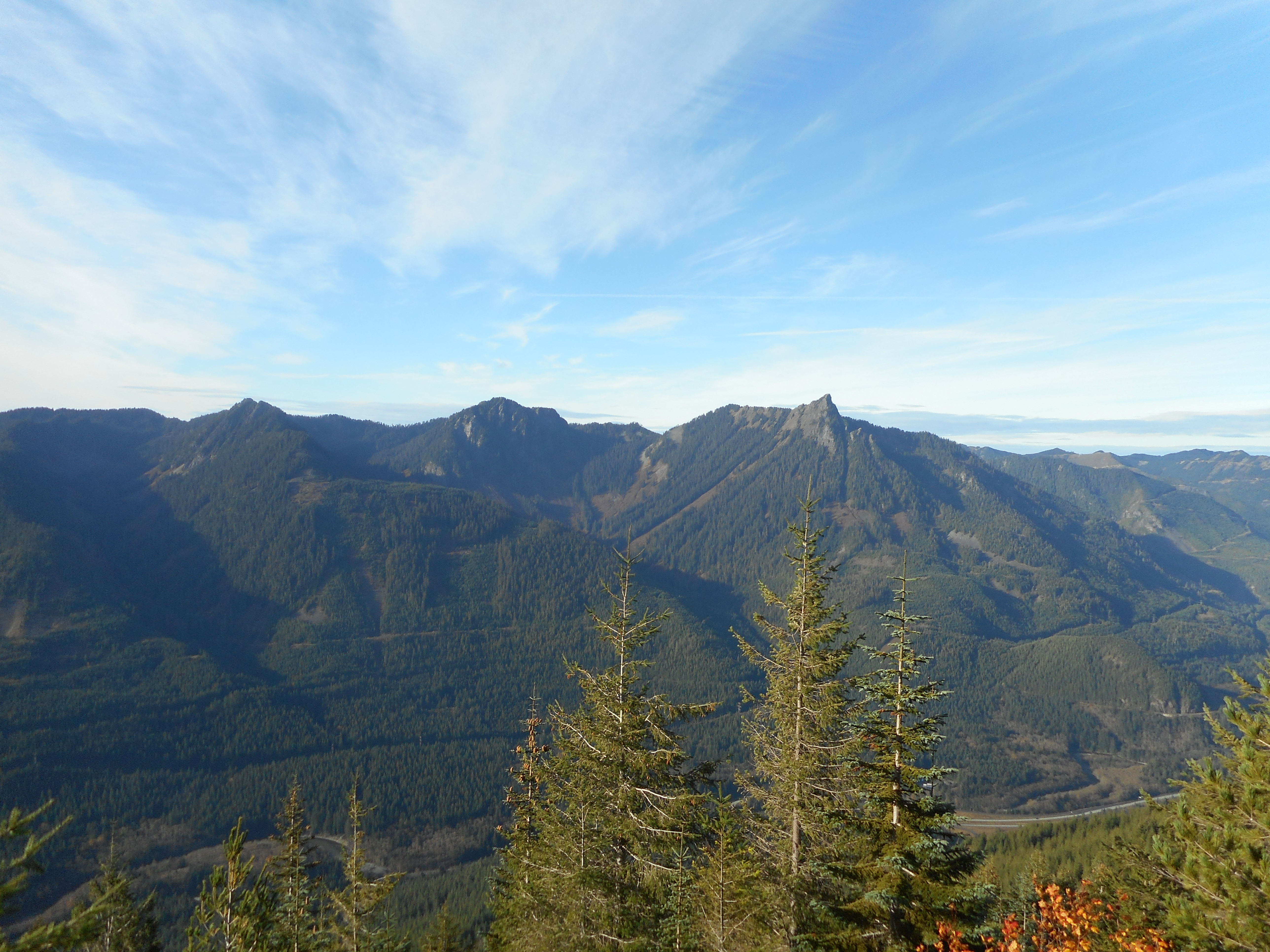
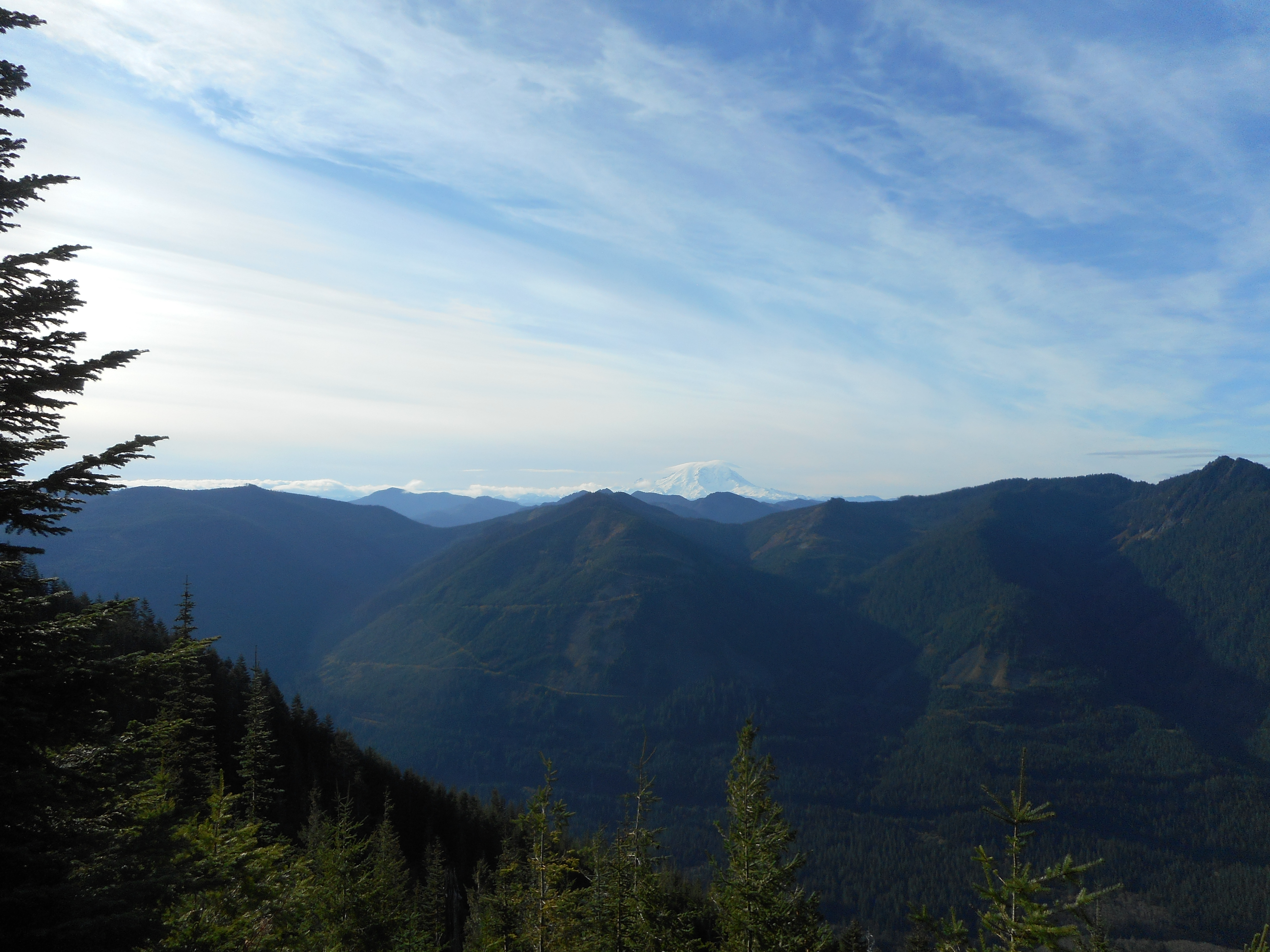
I love the wonderful southern and western views during breaks through the trees and then when you get up above most of the trees:
McClellan Butte and other mountains southMount Rainier peaking out
We took our time hiking up but got back down in 90 minutes. 4 hours 40 minutes, just over 2,300 feet of elevation gain, 7 miles round trip.
George and Barb are heading back south in a couple of weeks so maybe we can do some more hiking next year. George is 75 and wouldn’t we like to be so fit when we get there?
We took a different (for me) route at the beginning. My hiking partners know the old trail. We parked a bit north of the official parking lots and crossed the road to take a trail that pretty much goes straight up to Rattlesnake Ledge. Check out the beginning of the visualization below.
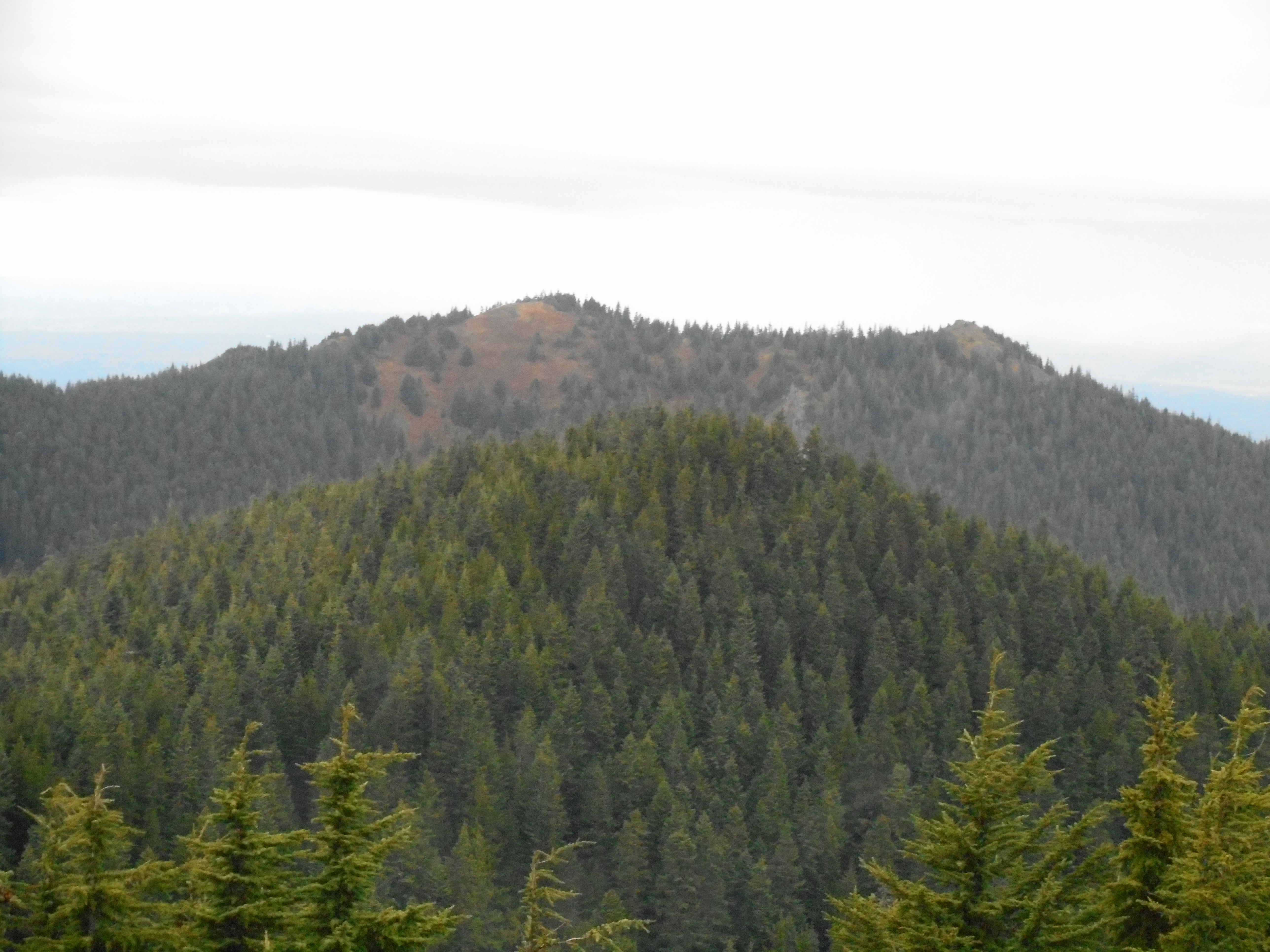
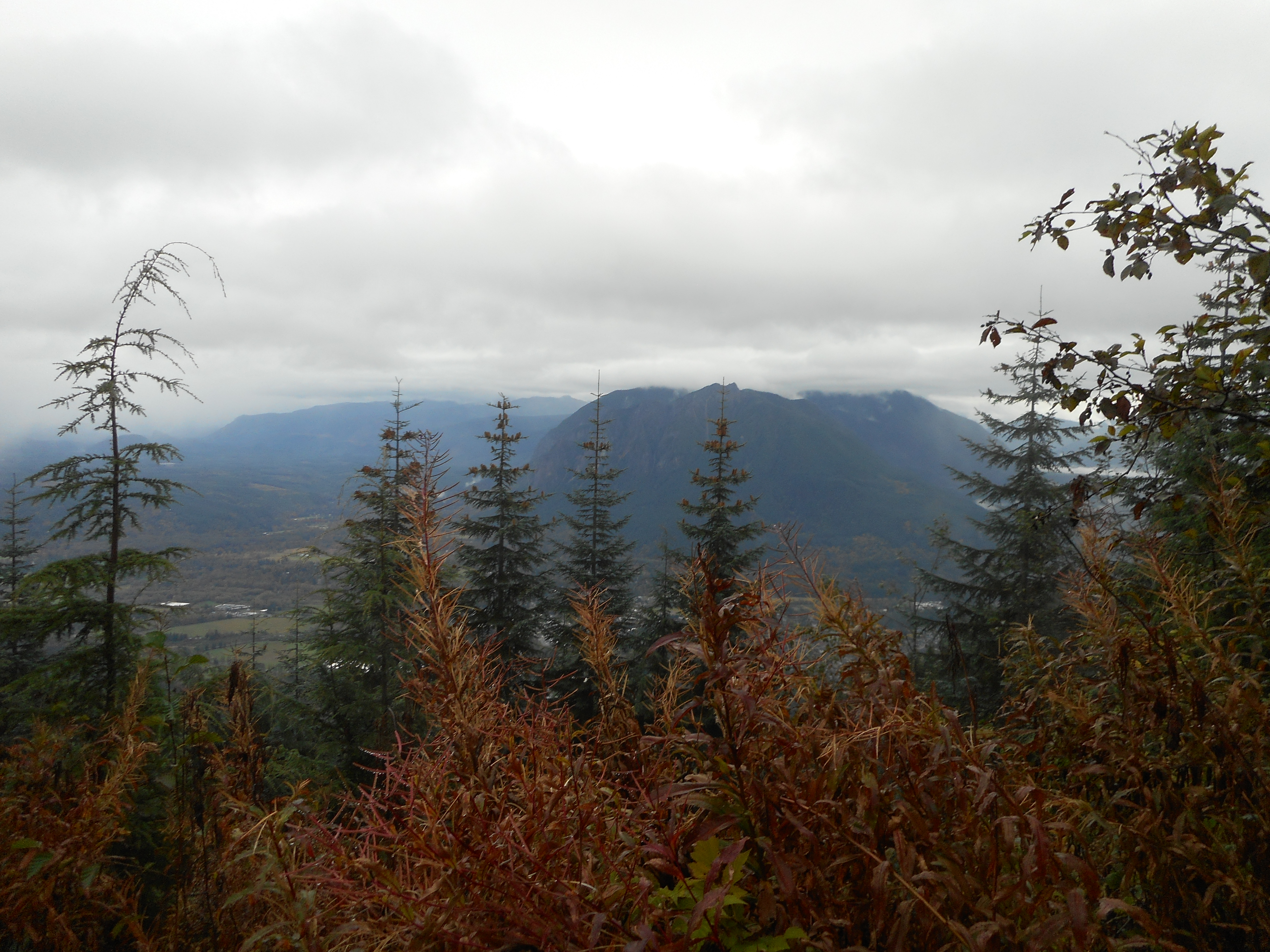
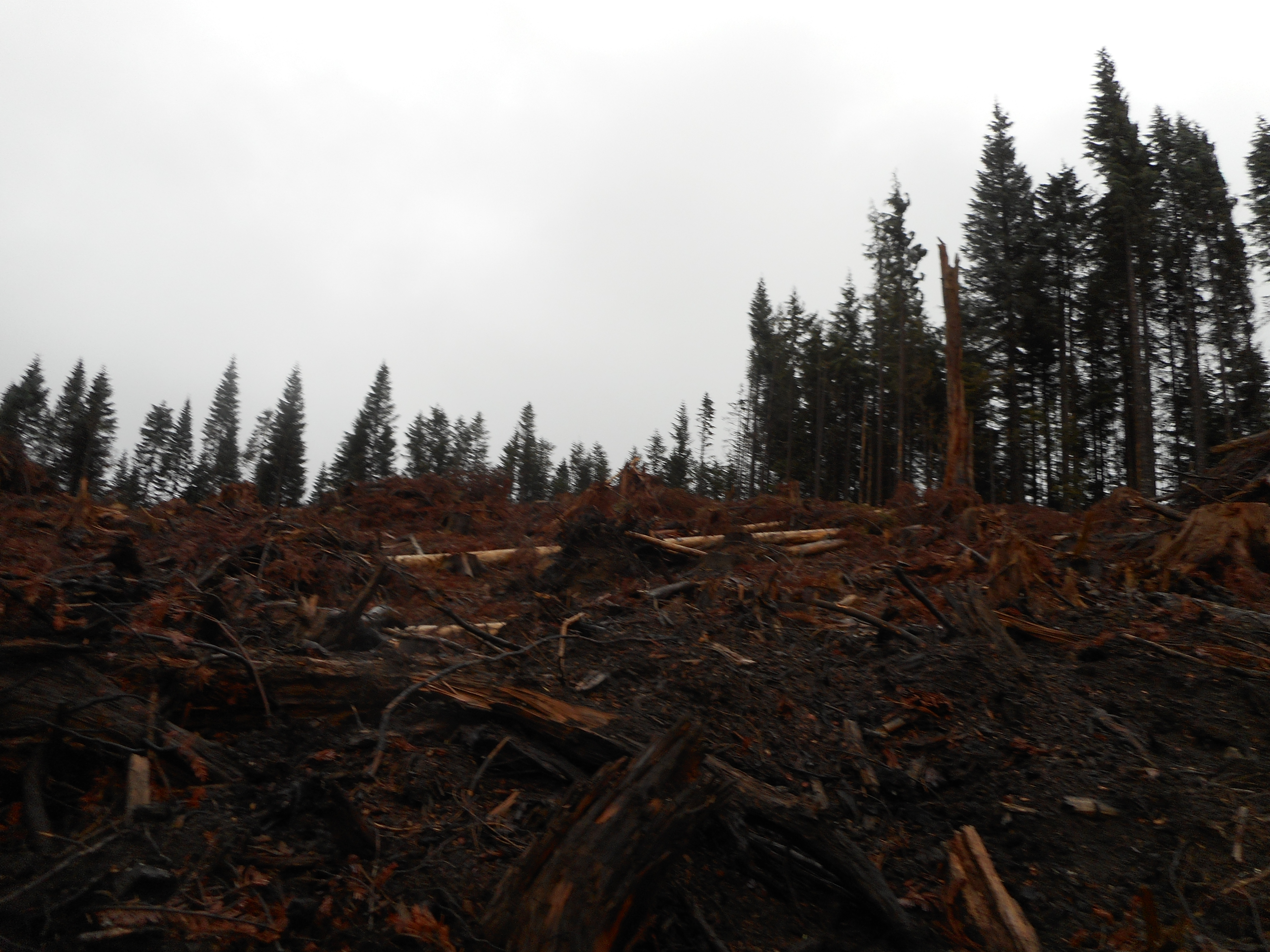
From there we followed the regular trail all the way across. The traverse has been closed for months because of a fund-raising timber harvest and boy, did they harvest. The trail is fine across the devastation but it sure is ugly:
They chopped trees on Rattlesnake Mountain
Ugh.
Today’s crew
We made great time – Greg and Mark and I finished in 3 hours 48 minutes, Carl and Ken basically ran the trail for the last couple of miles and beat us by a mile. These guys are fit. This is a good time on this trail for me but a yawn for them.
My Garmin said it was only 9.3 miles and 2,917 feet of elevation gain. I know the route we took did shave a bit off the normal 10.5 miles but 1.2 miles? I am skeptical of the accuracy of the device today and will measure it again.
It was grey and drizzly throughout the hike and this hike isn’t known for awesome views anyway. The one benefit of the tree massacre was that there is now a view where before it was “just” forest. Oh, well.
A wonderful day, and thanks to Ken, Greg, Mark and Carl for letting me tag along.
I did a nice group hike yesterday with six other guys. For once, I was not the oldest. David is 73 and he took the toughest route to the summit and is fit enough to have done a seven-day, 25K elevation gain bike ride around Oregon a couple of weeks ago. What a great inspiration.
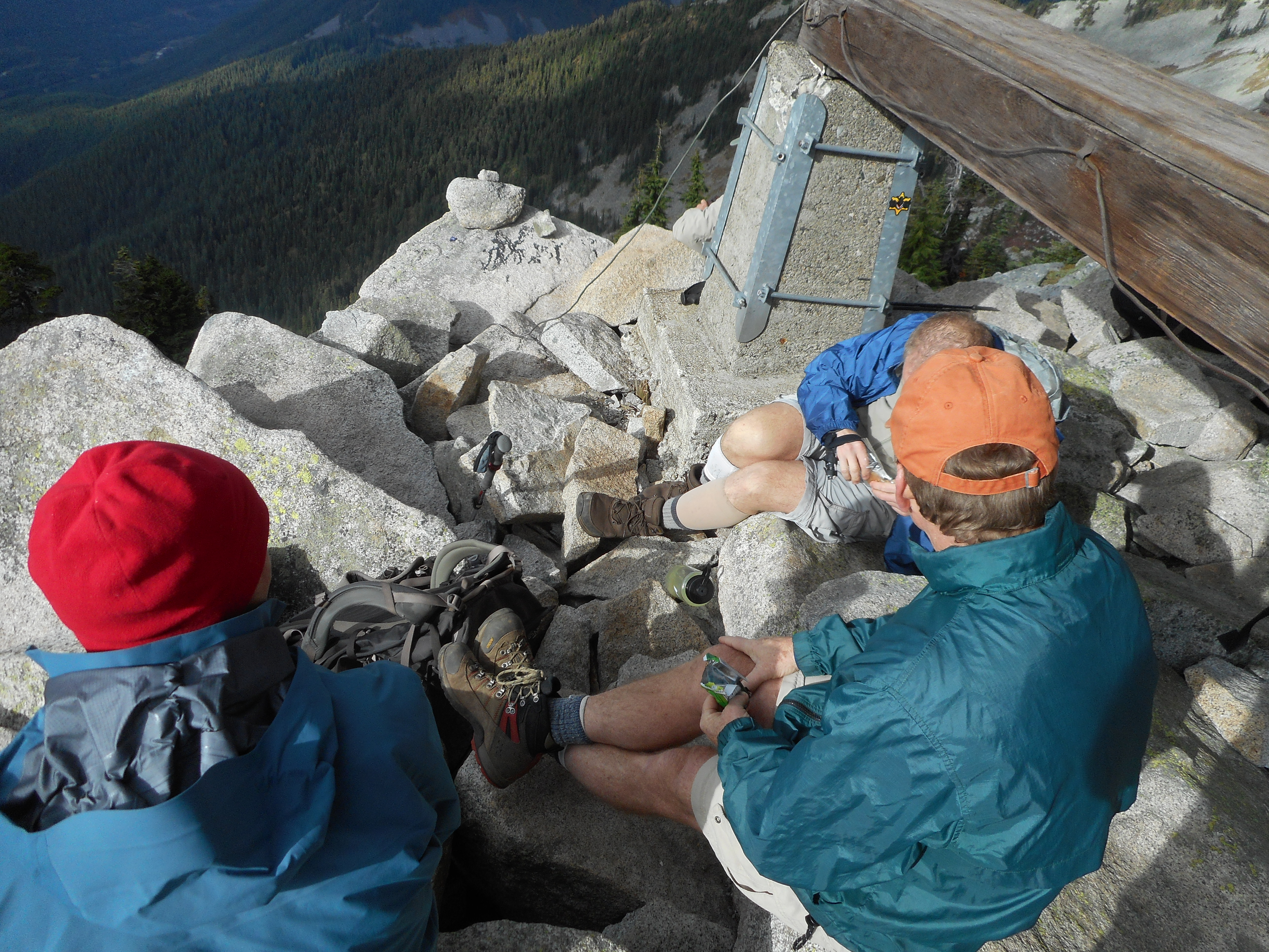
I finally chugged up to the lookout tower at the summit for a short break before we headed back down:
Short break at base of lookout
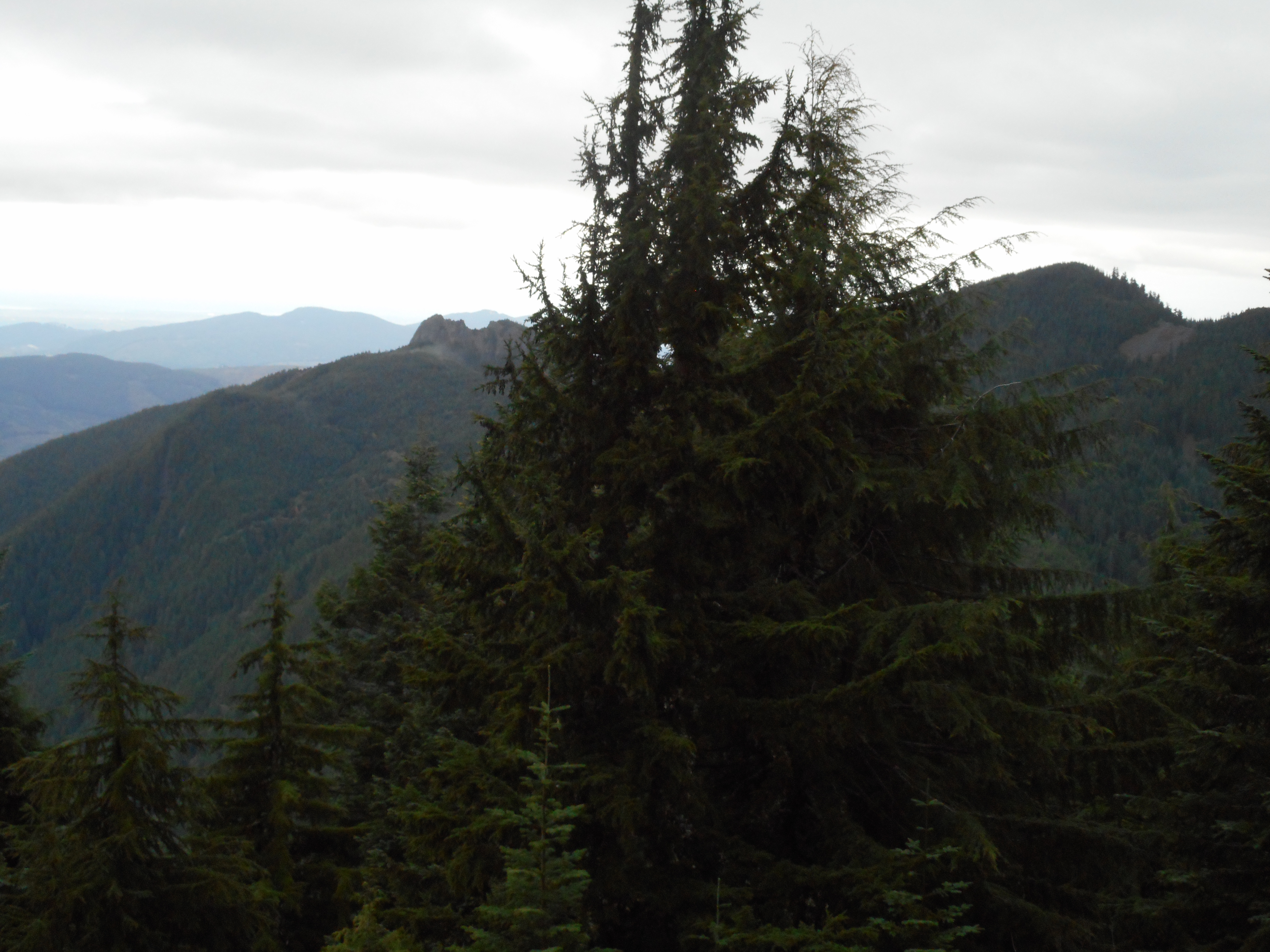
Granite Mountain is not an easy hike but it is definitely loads of fun. The views yesterday were not terrible but we could only see a little bit of Rainier:
Looking south from summitI-90 and friends
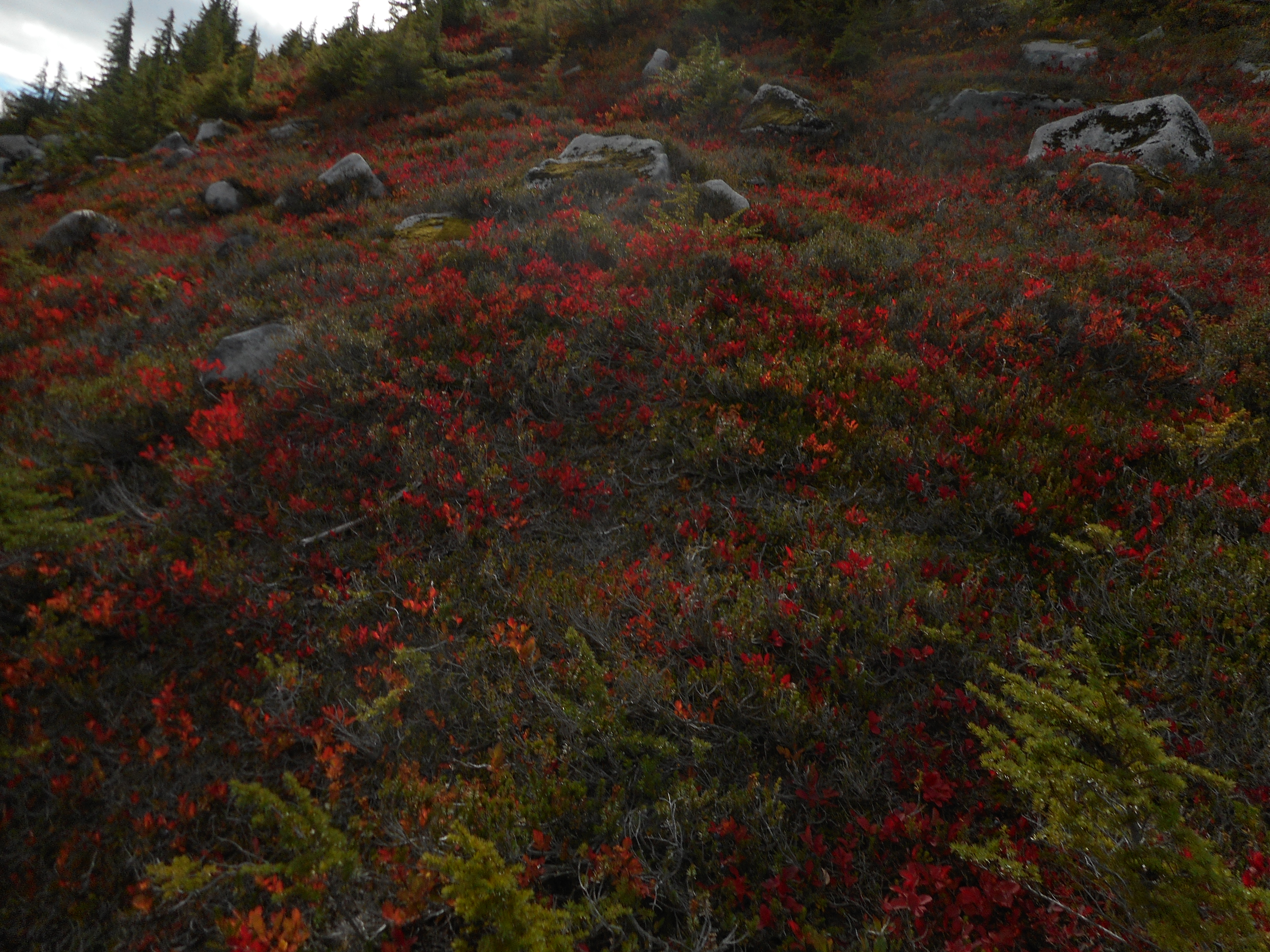
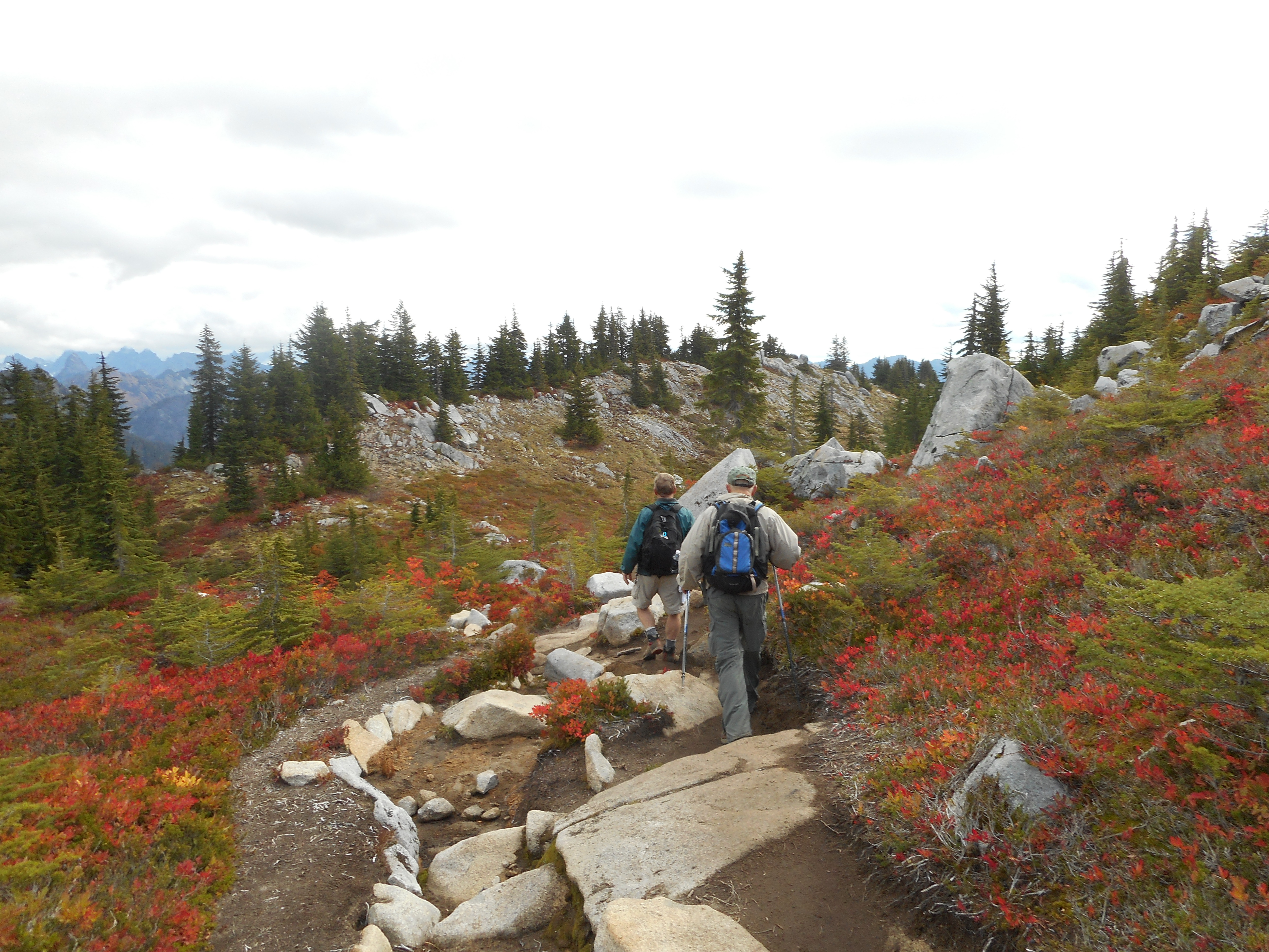
I was very careful going down, as the top half of the trail is very rocky and it would be easy for me to take a nasty fall. The meadow near the summit features wild blueberries (tasty!) and beautiful fall foliage. We made good time:
Hiking down
When Derek and I hiked Granite this summer we showed about 8.3 miles, today the Garmin had it at only 7.8 miles round-trip. But we did take a slightly different route to the summit, going up and down, plus Derek and I wandered around the summit area. Today, we stayed put by the lookout.