Bushwhacking 9/29/2020

The Ledges

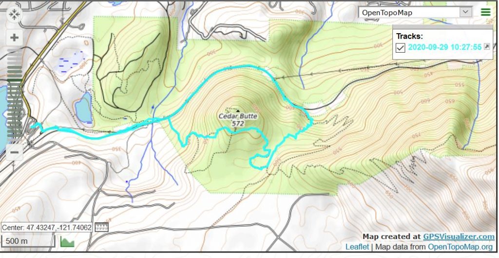
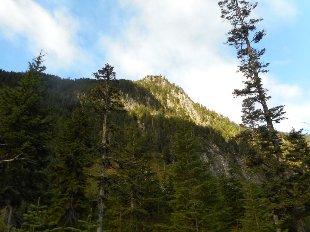
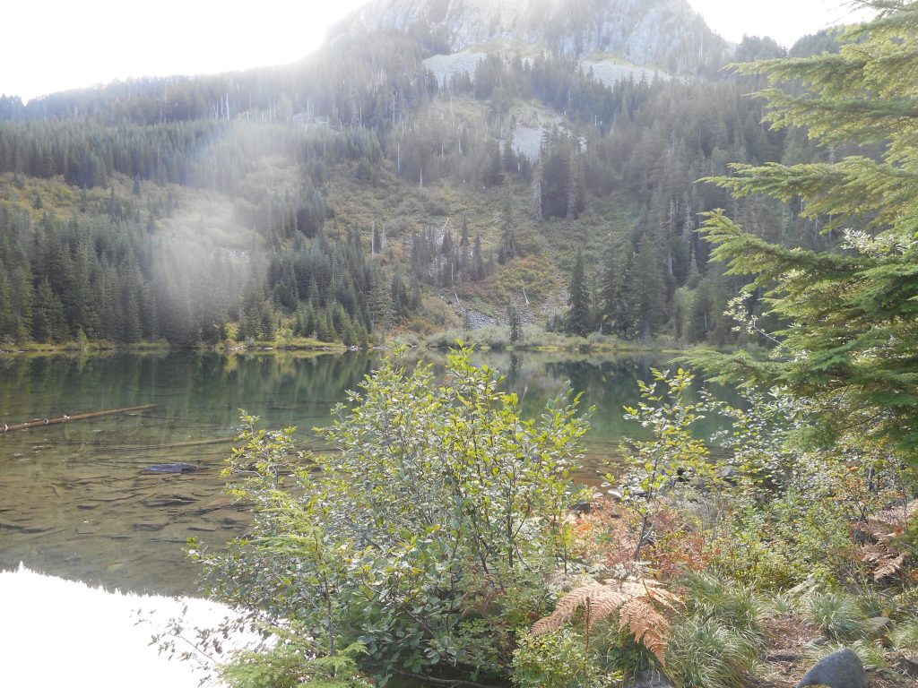
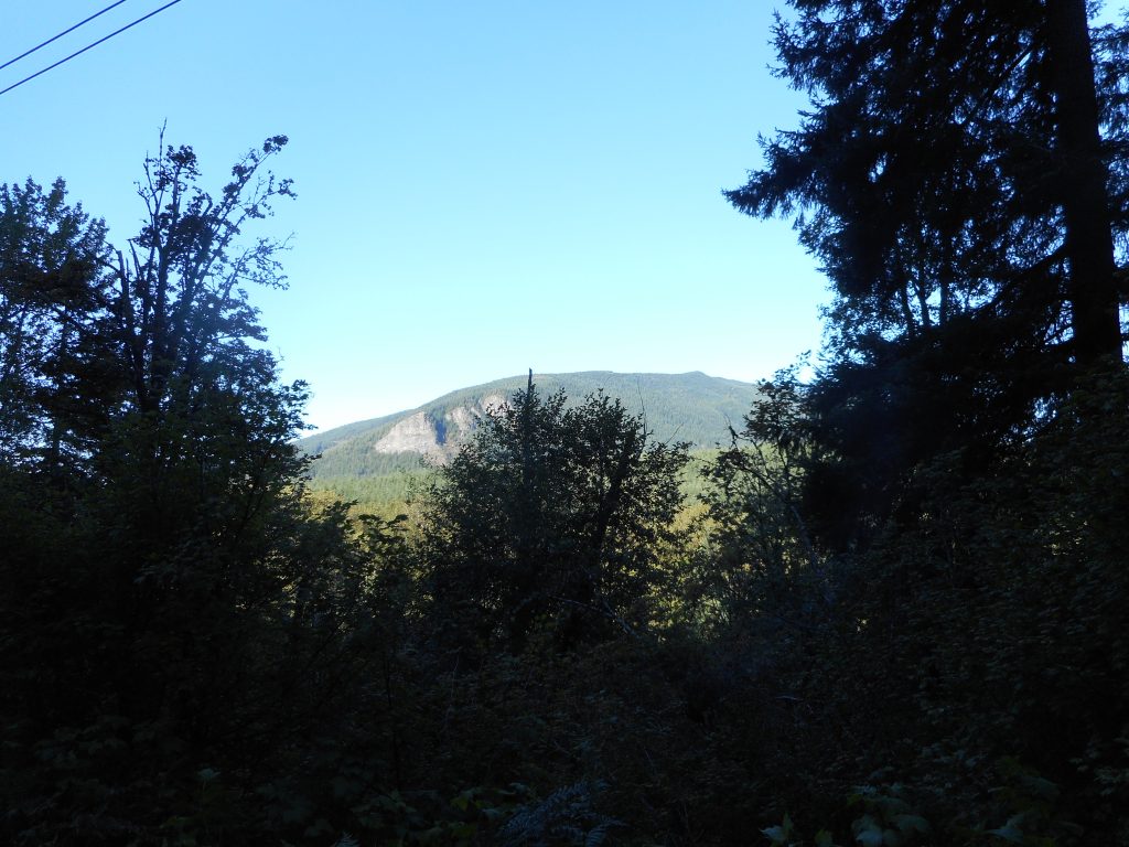
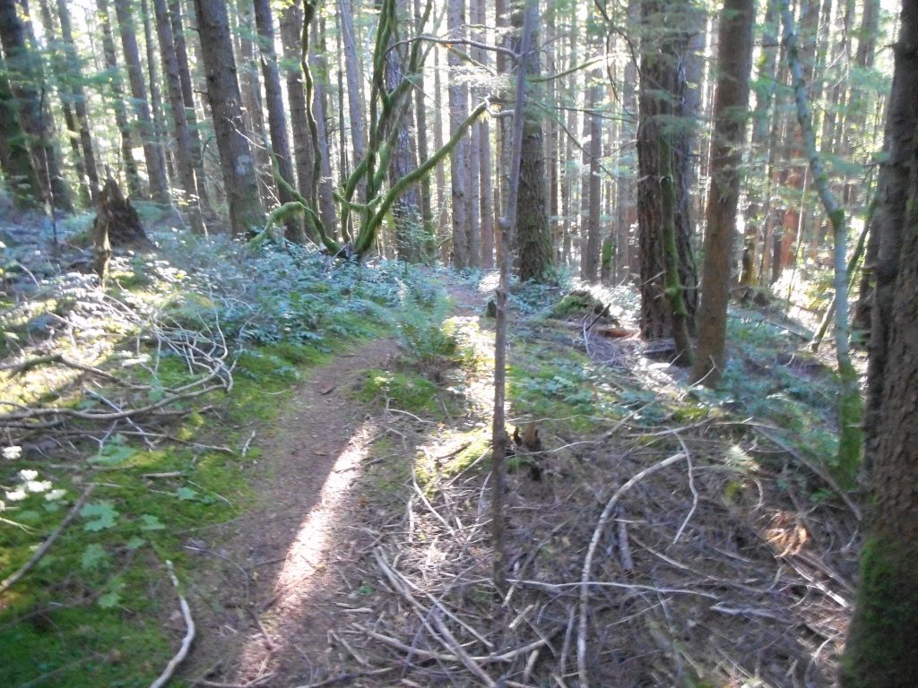
My plan today was to do something mild, as I haven’t hiked for a couple of weeks. Between the very hazardous air quality and some rain I just haven’t made it out. So I figured to do the Cedar Butte/Southside Trail/Olallie Trail loop but somehow I got off the Southside Trail and wound up having to gingerly make my way downhill on brushy and very slippery terrain.

Oops!

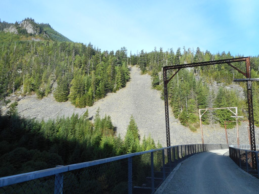
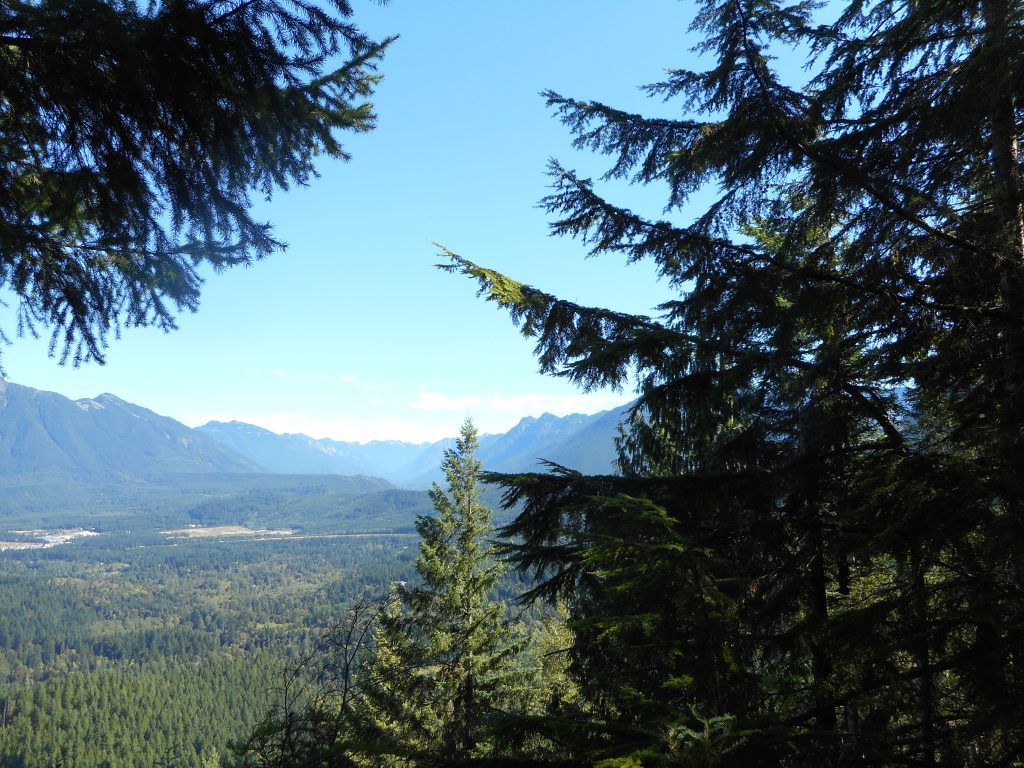
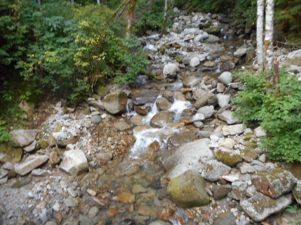
The Southside Trail, when visible, is great:

Southside Trail

But it all worked out.
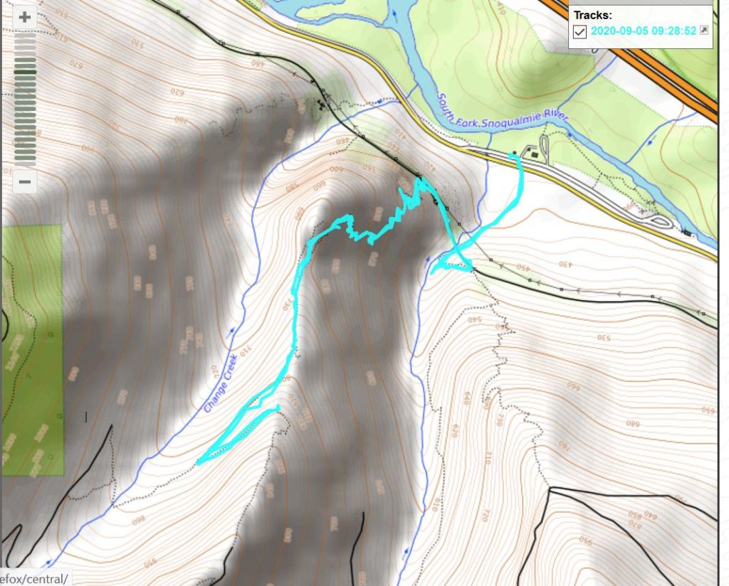
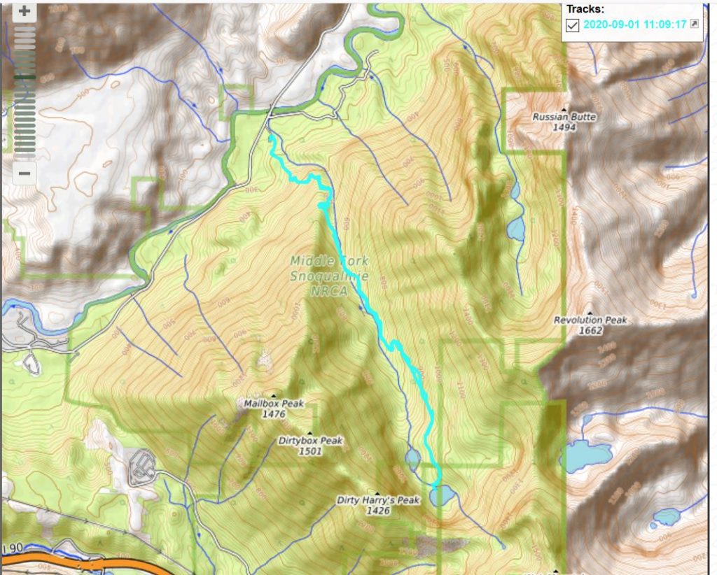
See track below:

Track

Mine Creek Bridge 9/7/2020

Mine Creek Bridge

This was not a hike it was a walk. I am recording it because Jan was with me – she does not do much walking because her knee is really bad. She will probably get a new knee next year.

In the meantime, she is off this week because yesterday Brittany was married and Jan scheduled this week off in order to spend time with out-of-state relatives. But due to the Trump Plague no one flew in from out of state. In fact, it was a downsized wedding, 30 guests, outdoors, socially distanced (mostly).

So she is off this week, the weather is glorious, so I suggested a walk from the Garcia/PTC intersection to the bridge, 1.5 miles round trip. Flat, very nice trail, she can do that.

Just marvelous scenery and she was even able to walk a bit past the bridge. As usual the views inspire:

Looking South
Looking North

Not a super workout but it was nice to get out and Jan had a nice time.

J’s Landing 9/5/2020

Track

I forgot the camera today but no big deal. It was grey and drizzly all morning, nice cool weather for a steep hike.

And it was steep. I went up Change Creek to J’s Landing, hung out for about 20 seconds, and turned around. I did do a minor detour at the bottom to check out the Hall Creek waterfall but otherwise did not deviate from an out and back. About 4 miles.

Good workout for sure.

Cedar Butte 9/3/2020

Cedar Butte

I talked myself out of doing Dirty Harry’s Peak on the grounds that it might be dangerous (steep and very rocky) alone. But I was more ambitious than what I wound up doing – Cedar Butte to the summit, then down and back via Christmas Lake.

Driving south on I-405 I saw a sign warning of a serious accident and a five mile backup ahead. So I diverted via the first exit, got a little lost in the side streets, finally wound up doing my old back route via SR202 and SR203, through Duvall and Carnation, and by the time I hit I-90 it was a little late for anything big so I settled on a smaller hike.

Still beats hanging around on the couch but I did want to tackle something more challenging. Lots of activities coming up (I am babysitting Friday, Brittany is staying the night on Saturday, and she is getting married on Sunday) so not sure when next I will get out.

I hate to waste this perfect weather….

Granite Lakes 9/1/2020

Dirty Harry’s Peak

Did the Granite Lake’s hike today – up the Granite Creek Trail and back down.

These lakes are not spectacular bodies of water, but they do exist in a bowl surrounded by numerous great peaks, such as Dirty Harry’s above, and to the north peaks like Revolution Peak and Thompson Point. I am thinking about trying to summit Dirty Harry’s on Thursday. It is notoriously steep and rocky – we shall see if I am up for something epic or not.

Here is the upper lake:

Upper Granite Lake

Granite Creek itself is running a tad on the low side, this being late summer:

Granite Creek Looking Anemic

Along the way I found the definite start of an old logging road that supposedly get near the vicinity of a long-abandoned mine. Finding it would be a job for me and Derek, as it sure looks like a bushwhacking, route-finding operation is needed. It would be fun.

Track is below:

Track

This is not the world’s toughest hike, 8 miles round-trip, probably 2.5K elevation gain (much of that in the first 1.25 miles) but a good workout and fun outing.