I had a nice workout today but it was not particularly photogenic.
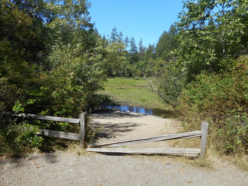
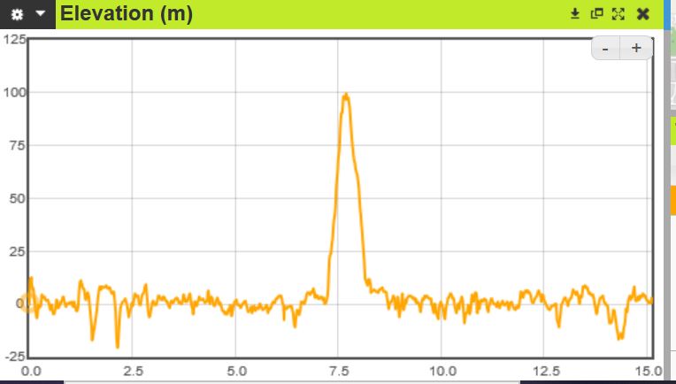
I parked at E Sunset Way, went up to the Adventure Trail, to Section Line, but where I normally go down via Nook I went up the .6 mile (steep section – see elevation profile below) to the West Tiger 3 Railroad Grade Trail, to the Poo Poo Point trail, down that to Bonneville Power Trail, to Wetlands, back down the final stretch on the connector trail back to the car.
A very fun hike but no particular views. 8.2 miles, 3 hours, perfect weather.
I covered some of the same ground today that I did last Saturday – basically, I did the relatively short hike I was planning before I decided to turn right rather than left when the Southside trail intersected the Olallie Trail.
But today I turned left, went back down Olallie to PTC and back to the car.
I had calculated this hike to be about 6 miles and sure enough, it came out to 5.95 miles.
A very pleasant Thursday afternoon outing, but nothing too demanding.
What a wonderful hike today, I had such a great time.
I went 16.15 miles with about 3K elevation gain, 8 hours. Awesome fun.
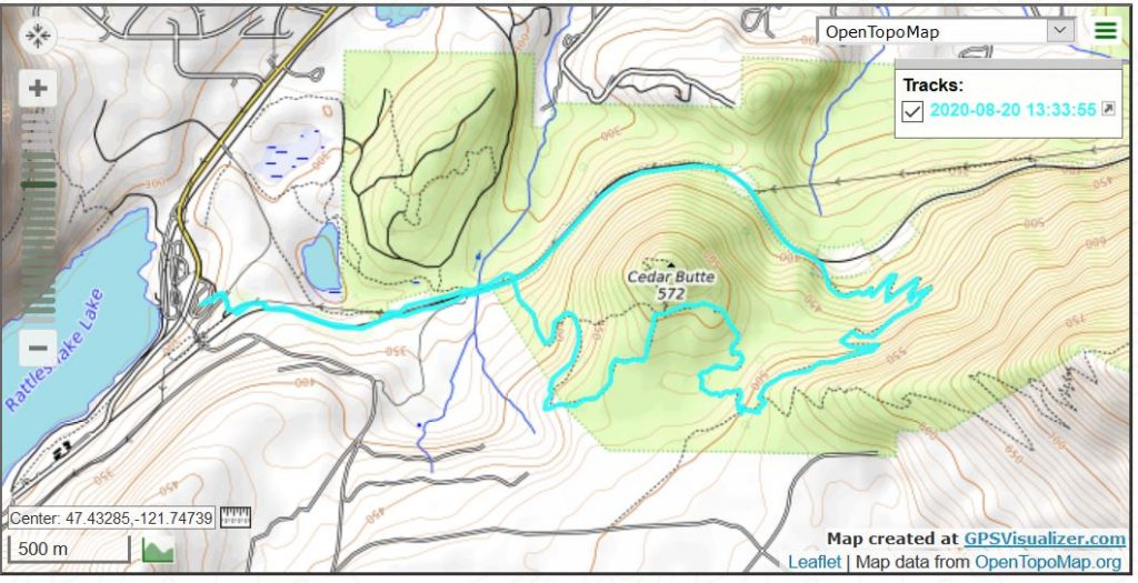
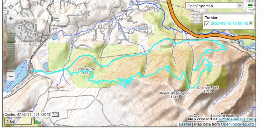
My plan this morning was to drive to the ‘upper’ Rattlesnake Lake parking lot (the trail to the Ledge is closed and most of the parking near the Ledge Trail is also closed), the one that is east of the lake, the one you park at to go east on the Palouse-to-Cascades (PTC) trail.
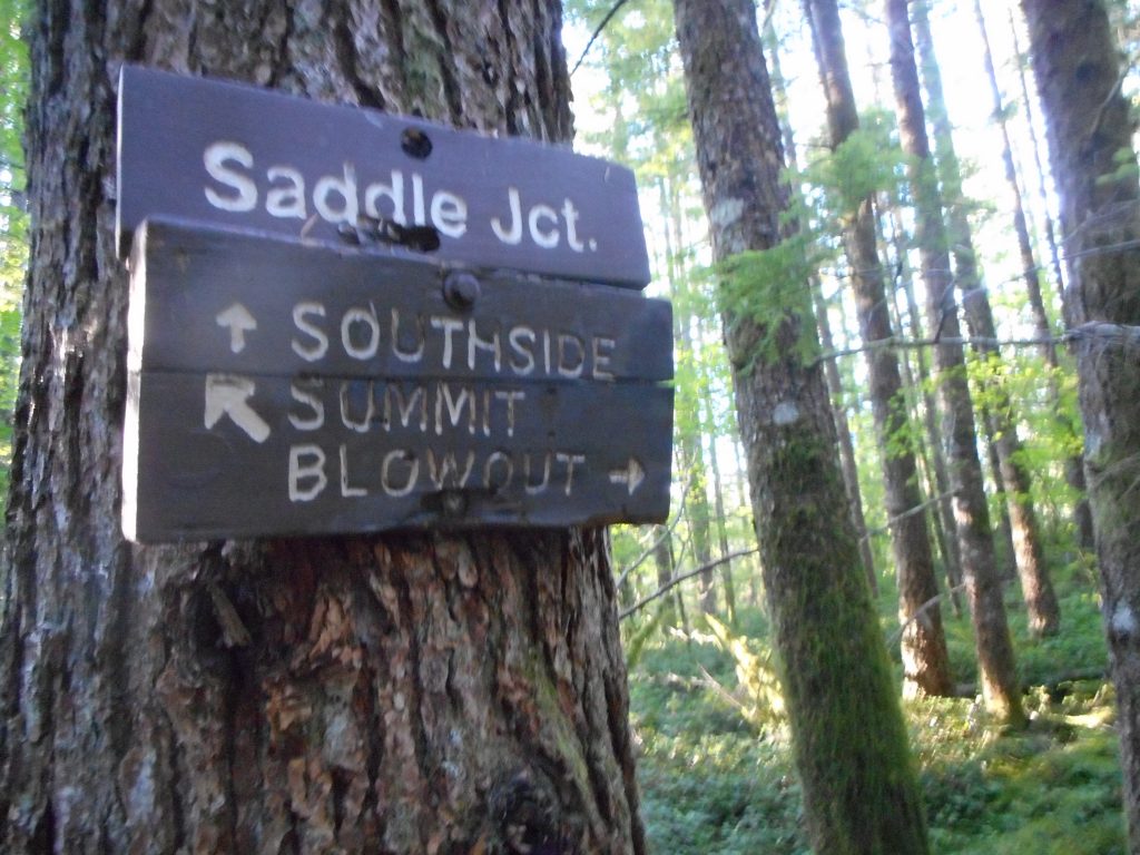
I took PTC to Cedar Butte trail, went up to the saddle:
Choose Your Path
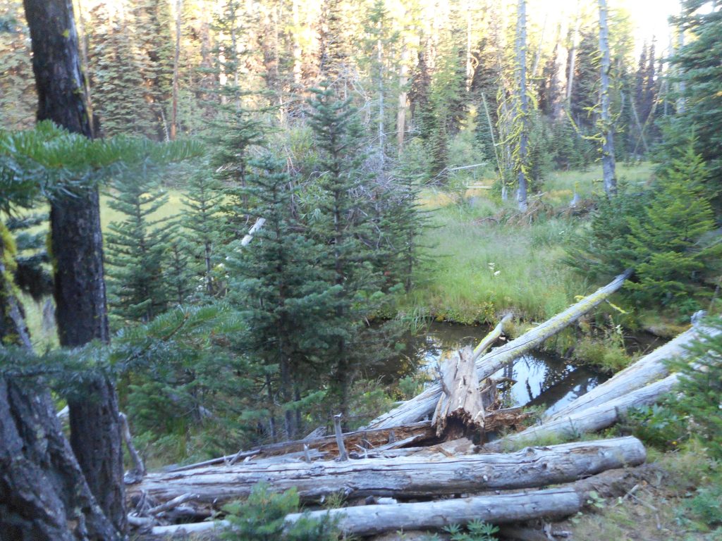
And then I had hoped to finally be able to hike the entire (.8 mile) length of the Southside Trail. I knew from maps and trip reports that the Southside Trail intersects the Olallie Bike Trail. I figured I would get to Olallie and then just loop back to the car, for a 6 mile hike. And sure enough, I was able to see the path very clearly today.
But when I got to Olallie I thought: what the heck? What else do I have to do today but hike?
So I turned right and took Olallie all the way to where it intersects the Mt. Washington trail, at where there used to be a little pond. From there it is 2.75 miles down Mt. Wa trail back to PTC. But I figured, well, I have gotten this far, let’s have a little more fun.
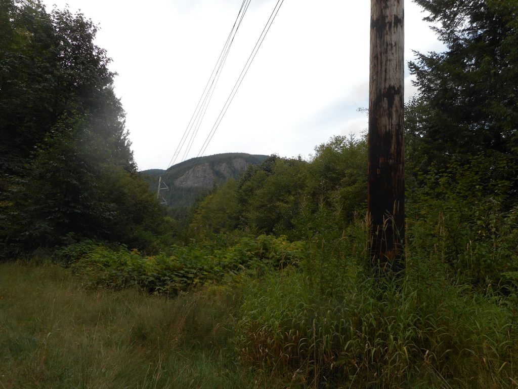
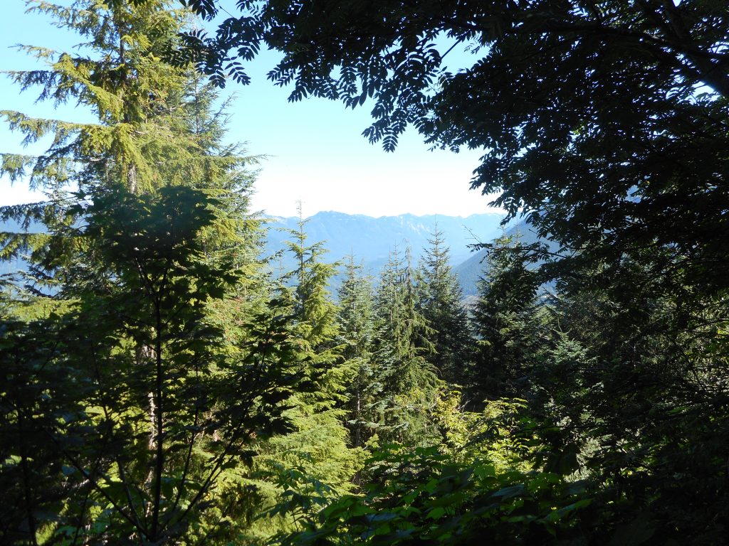
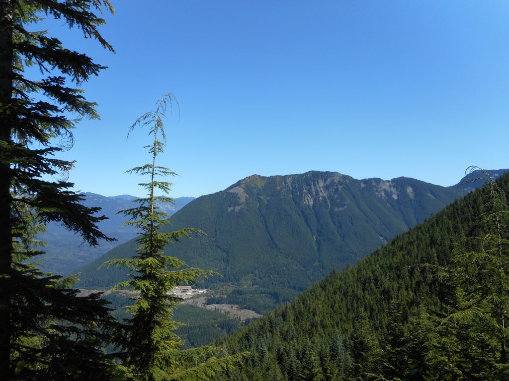
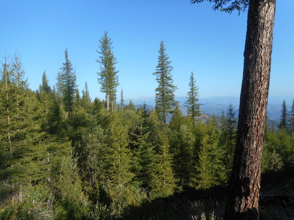
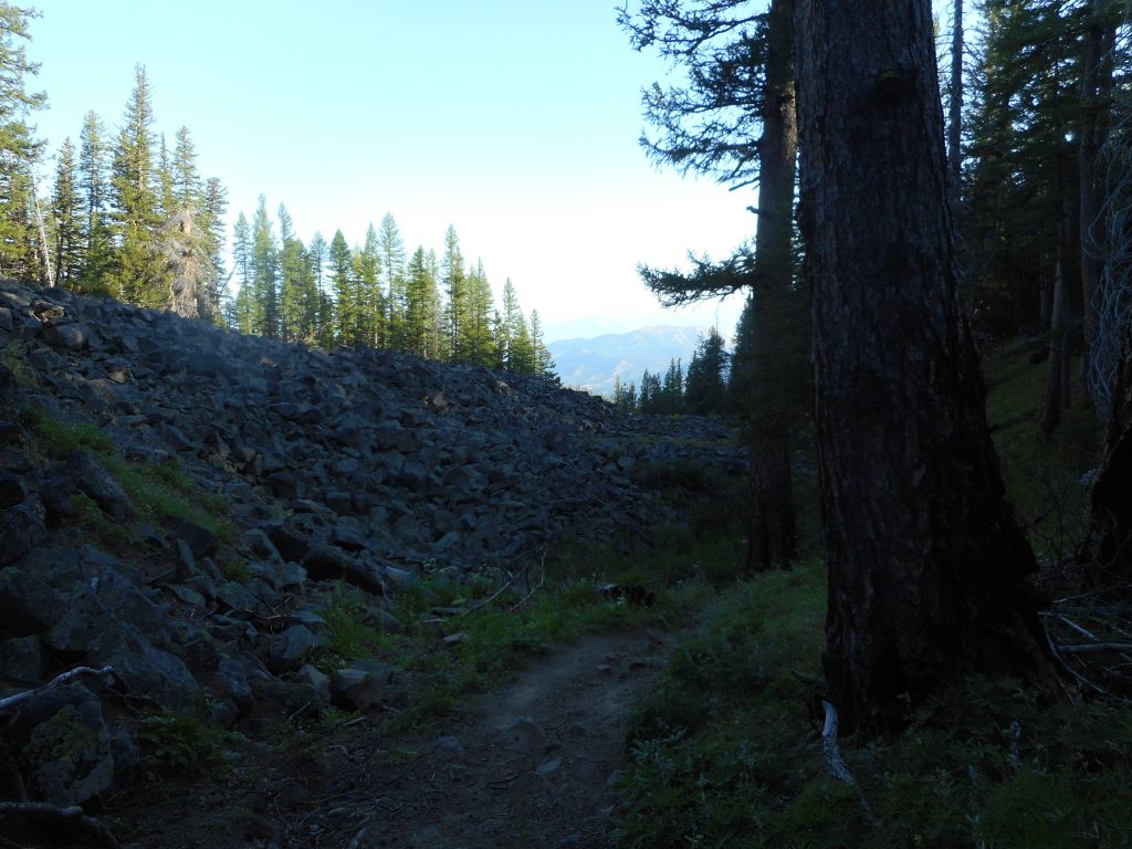
So I took Olallie to where it intersects the Great Wall Connector Trail and took that trail back to the Mt. Wa trail. I estimate this added about 1.5 miles to the hike. Whatever. I love the connector trail, there is never anyone on it and it has some very nice views:
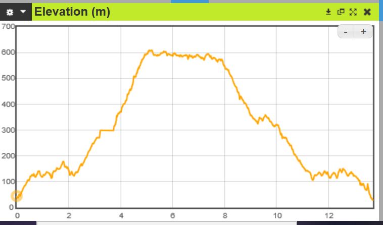
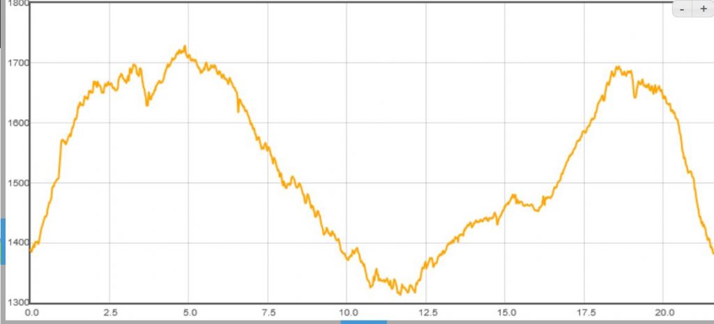
This is another one where it is probably more of a walk than of a hike but I did go 9.3 miles today and there was a very sharp hill exactly in the middle. Here is the elevation profile:
Polygraph Test?
The numbers above represent meters for elevation and kilometers for distance.
Anyway, I get sick of driving around during the week as traffic is (depressingly) getting back to normal, which means obnoxious. So I drove to the Bothell Landing park and walked east from there. My goal was to make it to the Tolt Pipeline Trail and go up Heart Attack Hill, get to the top and turn around and go back.
And that is just what I did.
Great weather, lots of people around but we all had masks and used them when getting close to someone else, but most of the way it is quite wide open and easy to stay away from other people. Plenty of runners and cyclists, as well as people like me who just like to go on long walks.
Not sure if this is a hike or a walk. On the one hand, it is 7 miles and quite hilly. On the other hand it is basically a road walk (not that vehicles besides service vehicles are allowed on this road) and I do not bring my back pack. I just bring my little Rick Steves day pack to carry phone, water, iPod.
Perhaps I will get it together tomorrow to do a proper hike. Summer is fading.
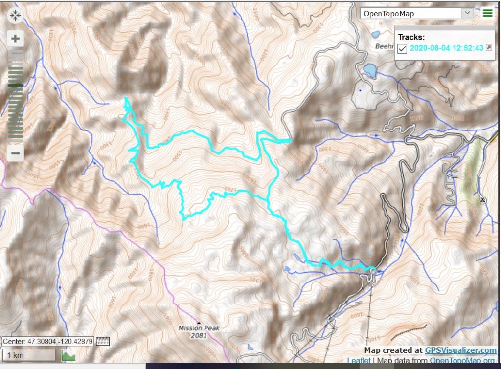
This week our extended family spent time in eastern Washington and, on Tuesday, Derek and I took the opportunity of being near bigger mountains to do a hike on the Mission Ridge trail.
It was a very nice 13 miler with about 3,500 feet of elevation gain. During the hike, which featured big ‘up’ sections and big ‘down’ section, we speculated about what the elevation profile would look like. Here it is:
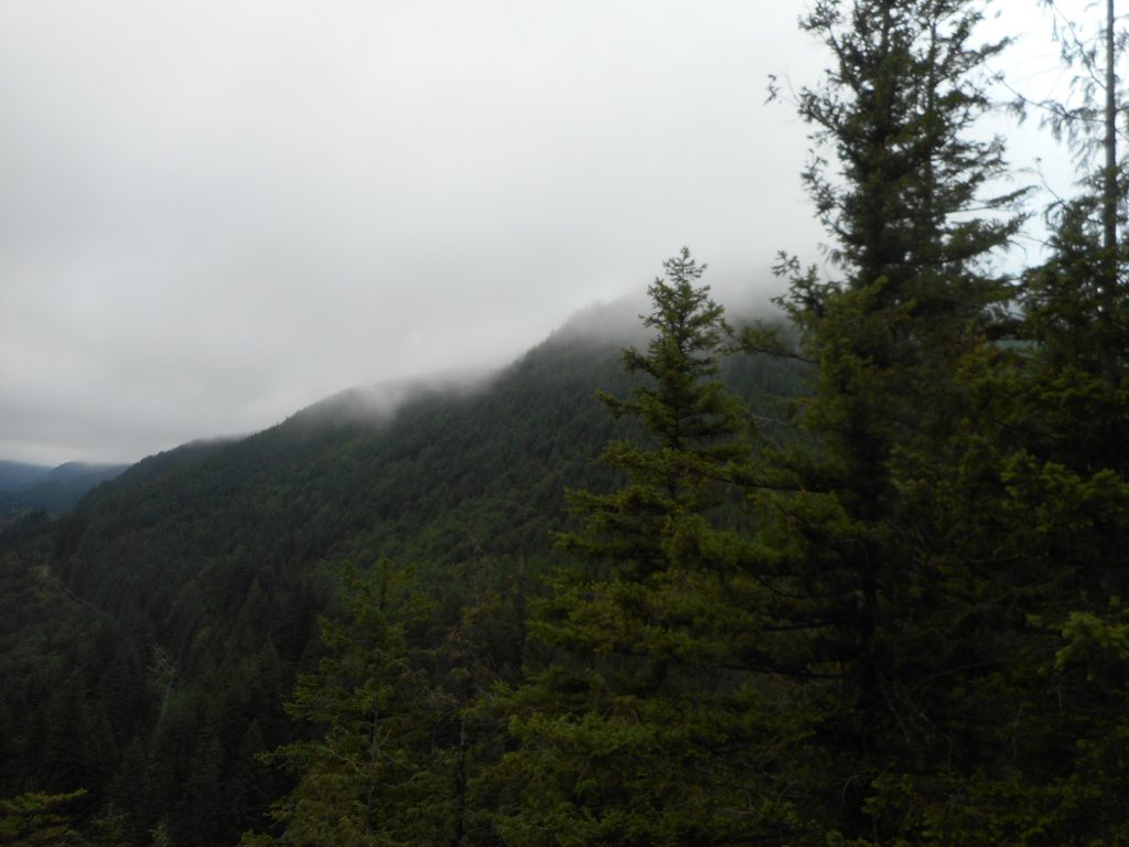
This was a really beautiful hike. This part of the world features much bigger mountains than we have near Seattle. We started at an elevation of 4,600 feet, a higher elevation than the summit of many of the mountains around here.
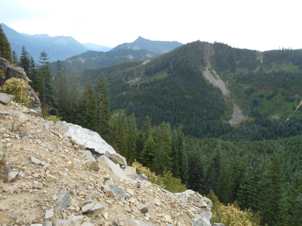
The trails we hit can be seen in the track below. Part of the time we were on a very nice service road and when we were, the views were stunning and continuous:
ViewMountain MeadowA Little Shade
An excellent day, we had a great time, a good workout and it certainly was the high point of our trip for me.
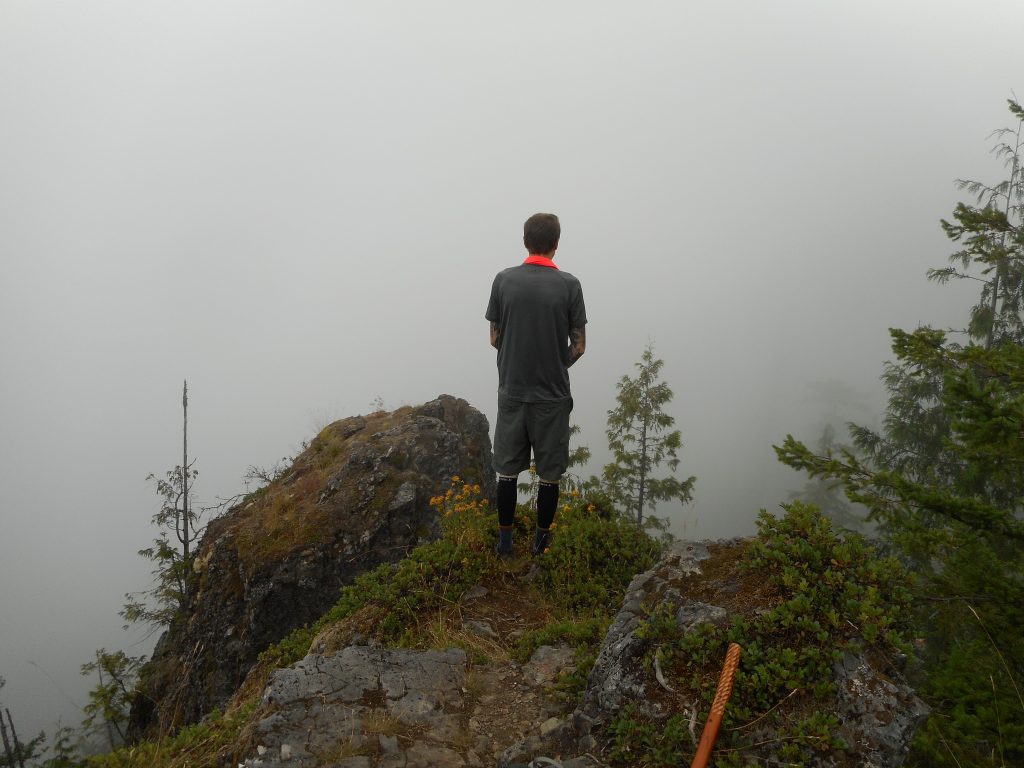
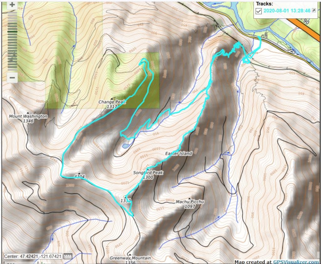
After my nice little hike on Thursday on Squak Mountain Derek and I did another epic hike/scramble – not sure how to categorize this one.
We parked in the lot down the road from the Exit 38 Mount Washington lot and left to go up the trail about 6am. We were worried about a possible very hot and sunny day, but in fact it was reasonable all day long.
We headed to the Change Creek Trail and visited Hall Point:
Derek At Hall Point
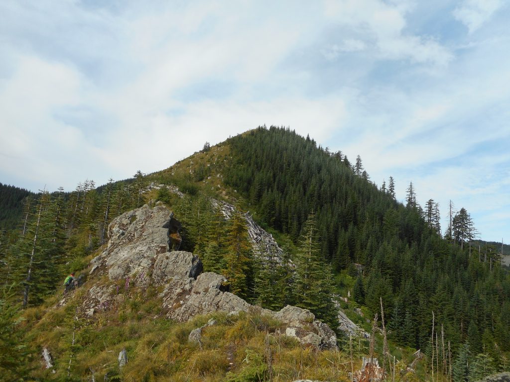
From just down from Hall Point we took the shortcut up to J’s Landing, straight up the ridge, and from there headed up and up and up until we finally hit the summit of Songbird Peak.
That is a straightforward description but it leaves out the fact that not long after you go up from the spot where the trail above J’s Landing ends, you arrive at your first of many rocky scrambles. Each one is more or less exposed, which means you are crawling around in the rocks with a cliff near at hand. One such encounter left both of us with very tight hindquarters.
Up And Over
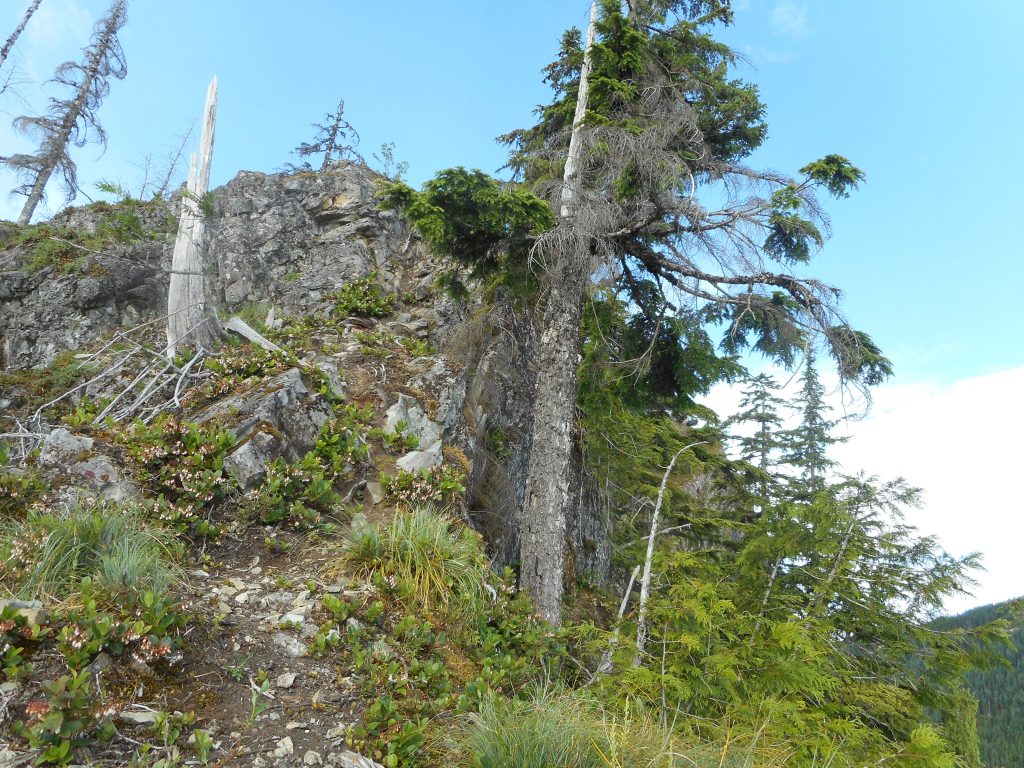
For the worst ones, we found ways to scramble down the side of the mountain to skirt the too-exposed ridge line, and then back up.
Finally we got to a point where it was just straight up through a meadow that, long ago, had been logged – judging from the numerous old tree stumps, that is.
The Final Stretch
When we got to this last section I took out my Garmin and measured the distance we had traveled and the elevation we were at so we could calculate how steep this last meadow was. It was a grade of about 60 degrees. But we did make it.
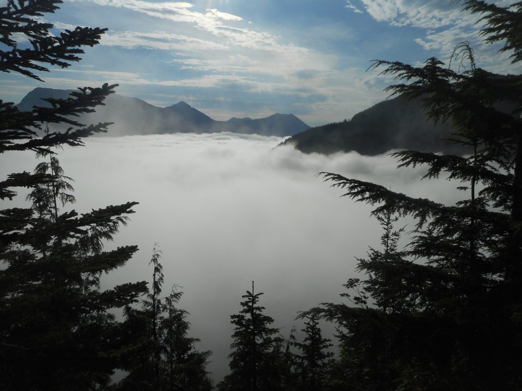
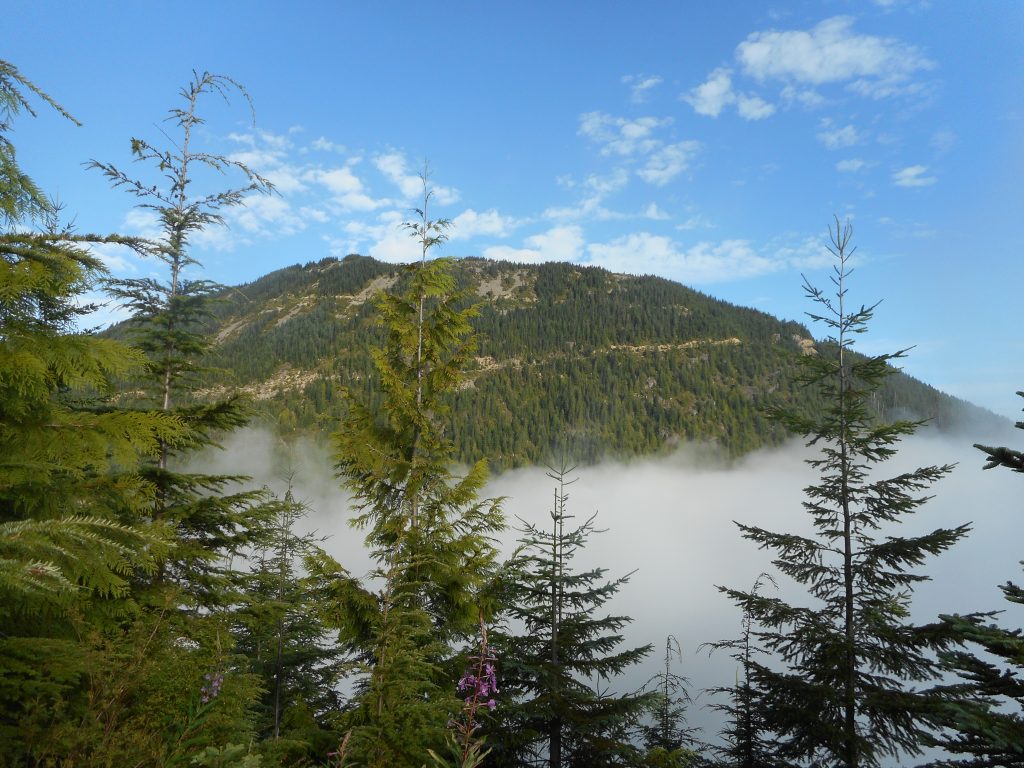
Above The CloudsLooking West
On the way down Derek took the Garmin and headed up the higher summit, known as Mid Mother Mountain. He said there was an animal trail, as well as steaming fresh bear scat, and that it was not too difficult to travel across the MMM ridge. He did hit the high point and bush-whacked down.
The hike was 9.74 miles and surely well over 3K elevation. This was a very steep, very difficult hike but worth it.
We went down Songbird the “easy” way, took the service road that is the northern boundary for part of the Watershed, then the Great Wall to the Olallie Bike Trail, that to the famous Pond Shortcut, then a shortcut within the shortcut, eventually back on the Change Creek Trail which we took to the Hall Creek Connector Trail, and back to the cars.
Looking Back At Our Route
Whew!
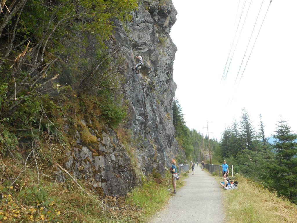
We saw the rock climbers as we hit the former John Wayne Trail (now the Palouse-to-Cascades Trail):