Great hike today. We (myself, Ken, Mark and Greg) ventured down south to Mount Rainier National Park to hike to Upper Crystal Lake. The hike itself was relatively moderate, a nice consistent grade almost the entire way on a good trail but the location and the views were first-rate.
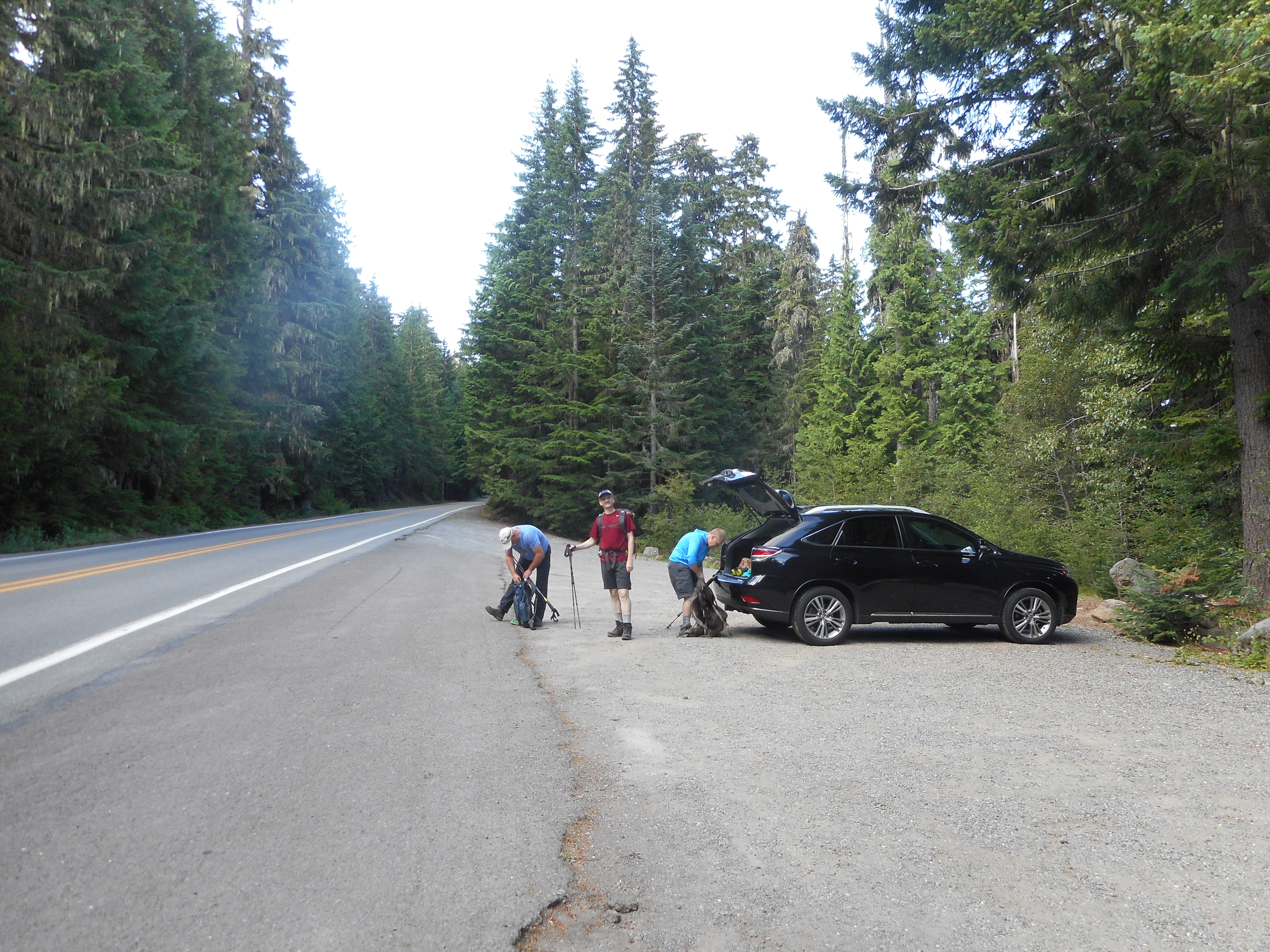
We parked on the side of Highway 410 and crossed the street to the trail head:
Parking
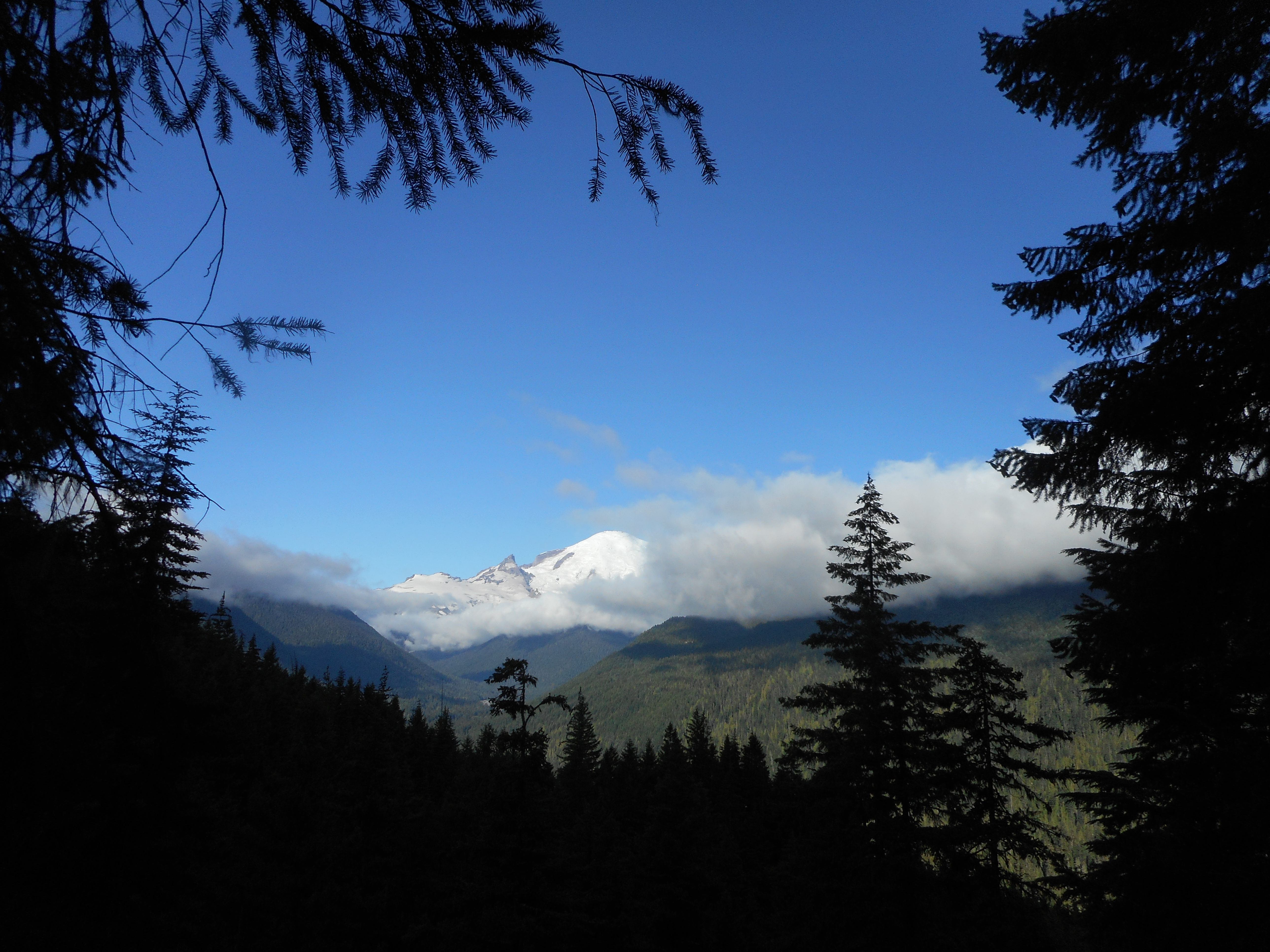
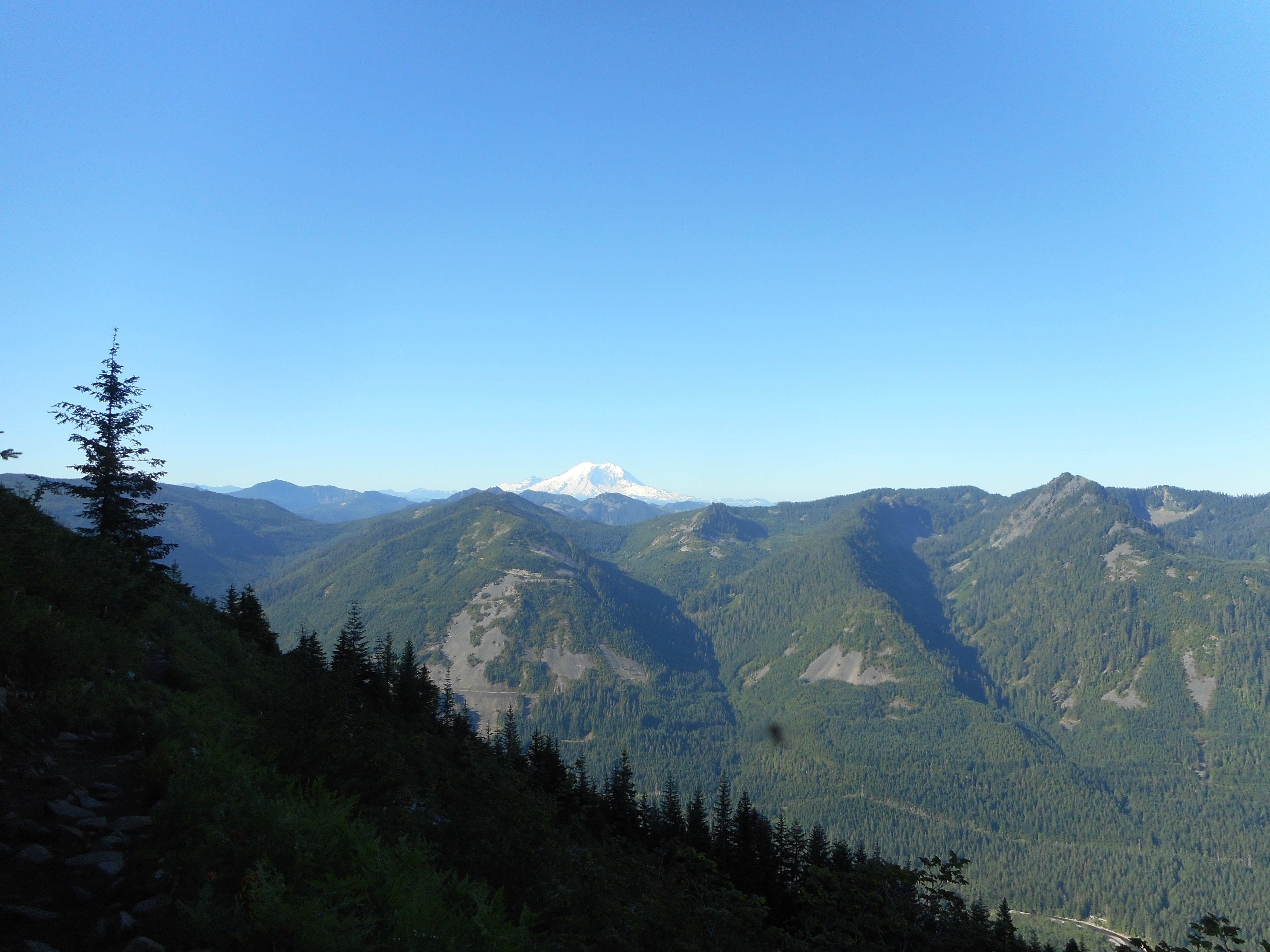
Not too far up the trail there was a break in the trees and we could see the nearby Mt. Rainier:
Mount Rainier
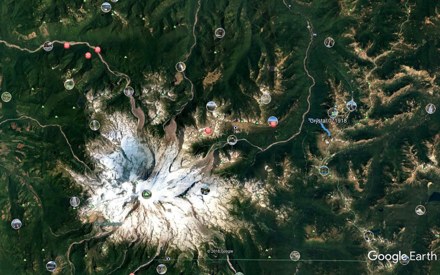
Here is a view from way overhead, via Google Earth, of our proximity to Rainier. Our track is the little blue squiggle on the right; Rainier is pretty obvious:
Rainier/Crystal Lake
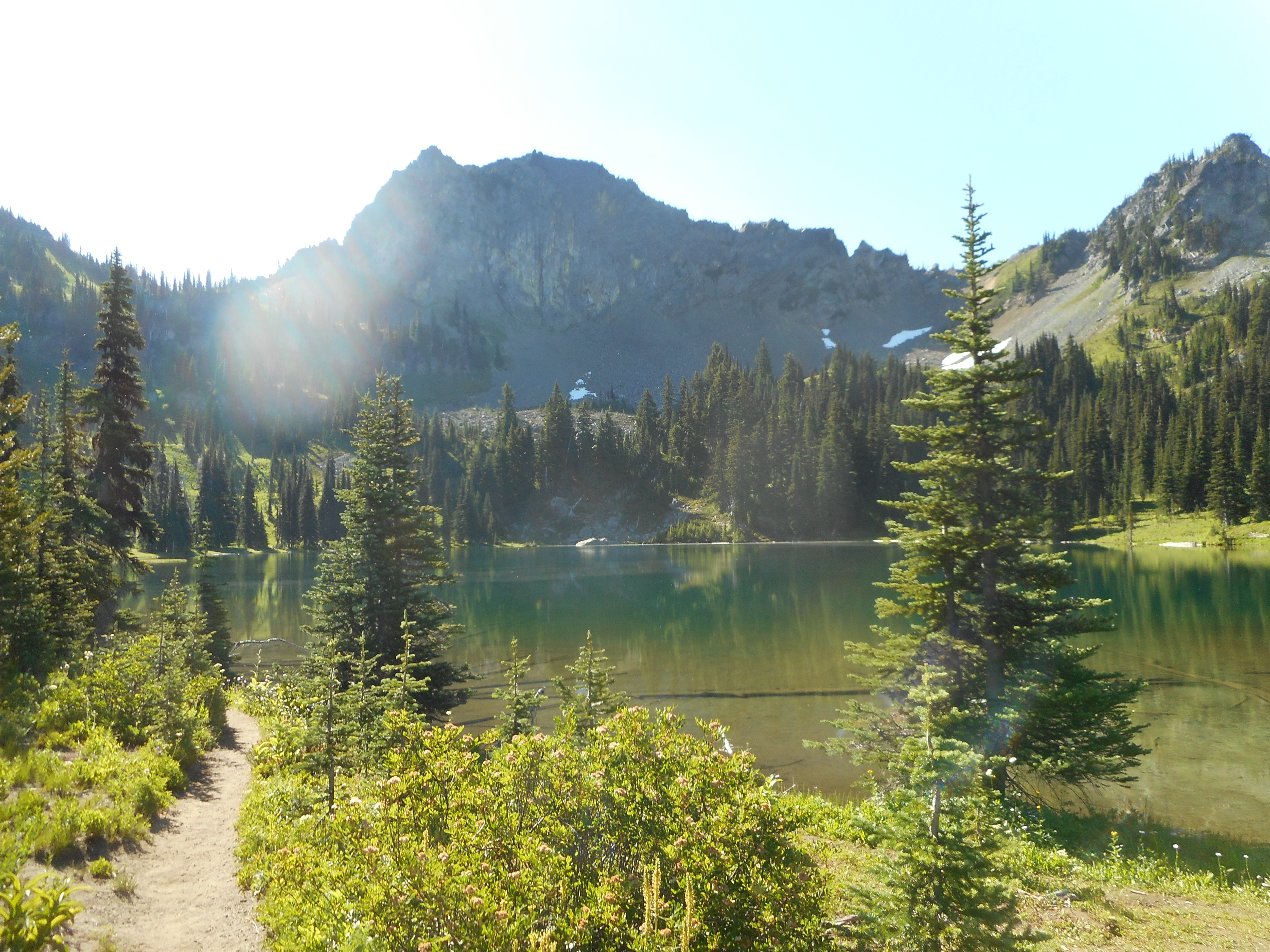
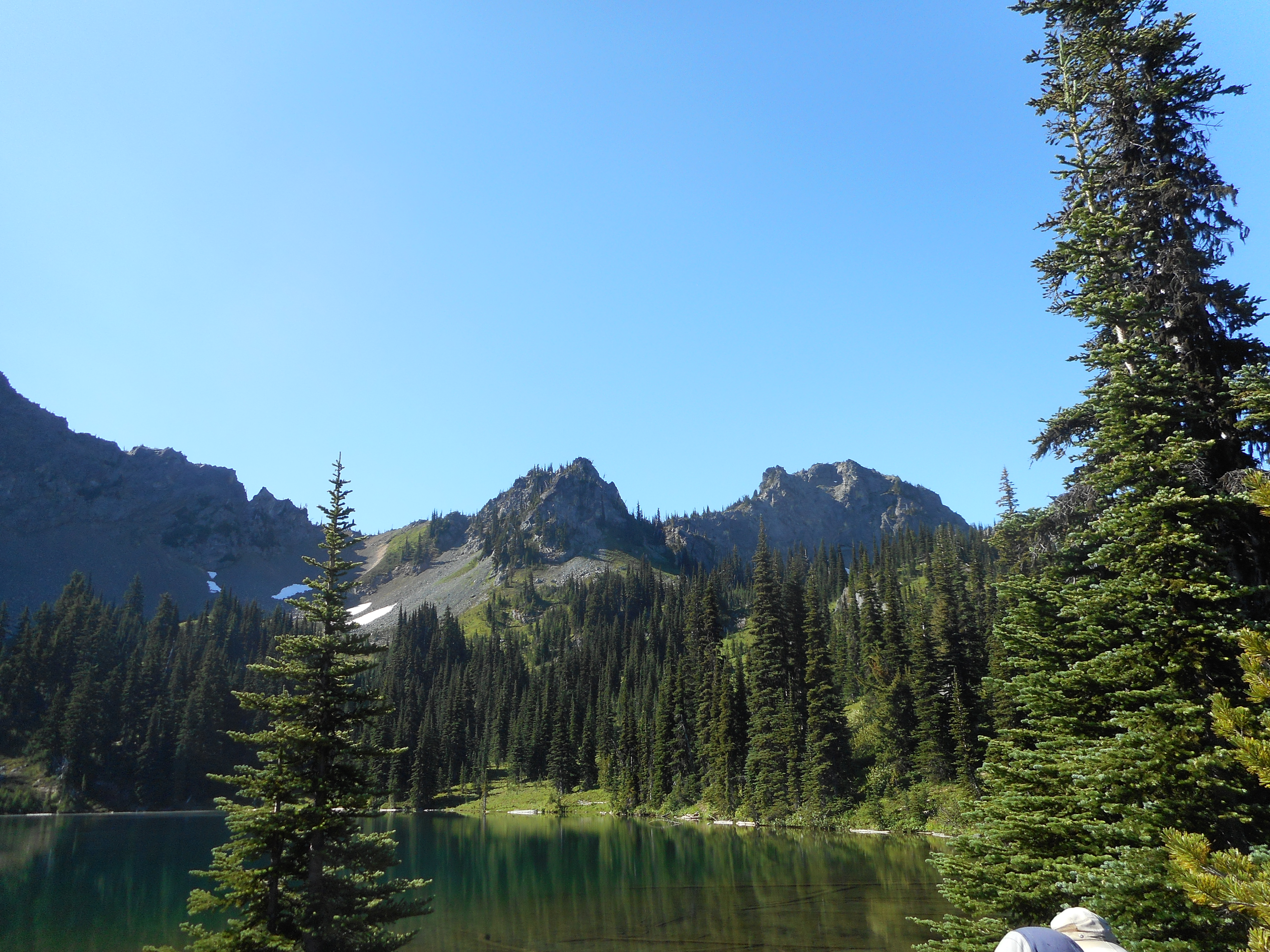
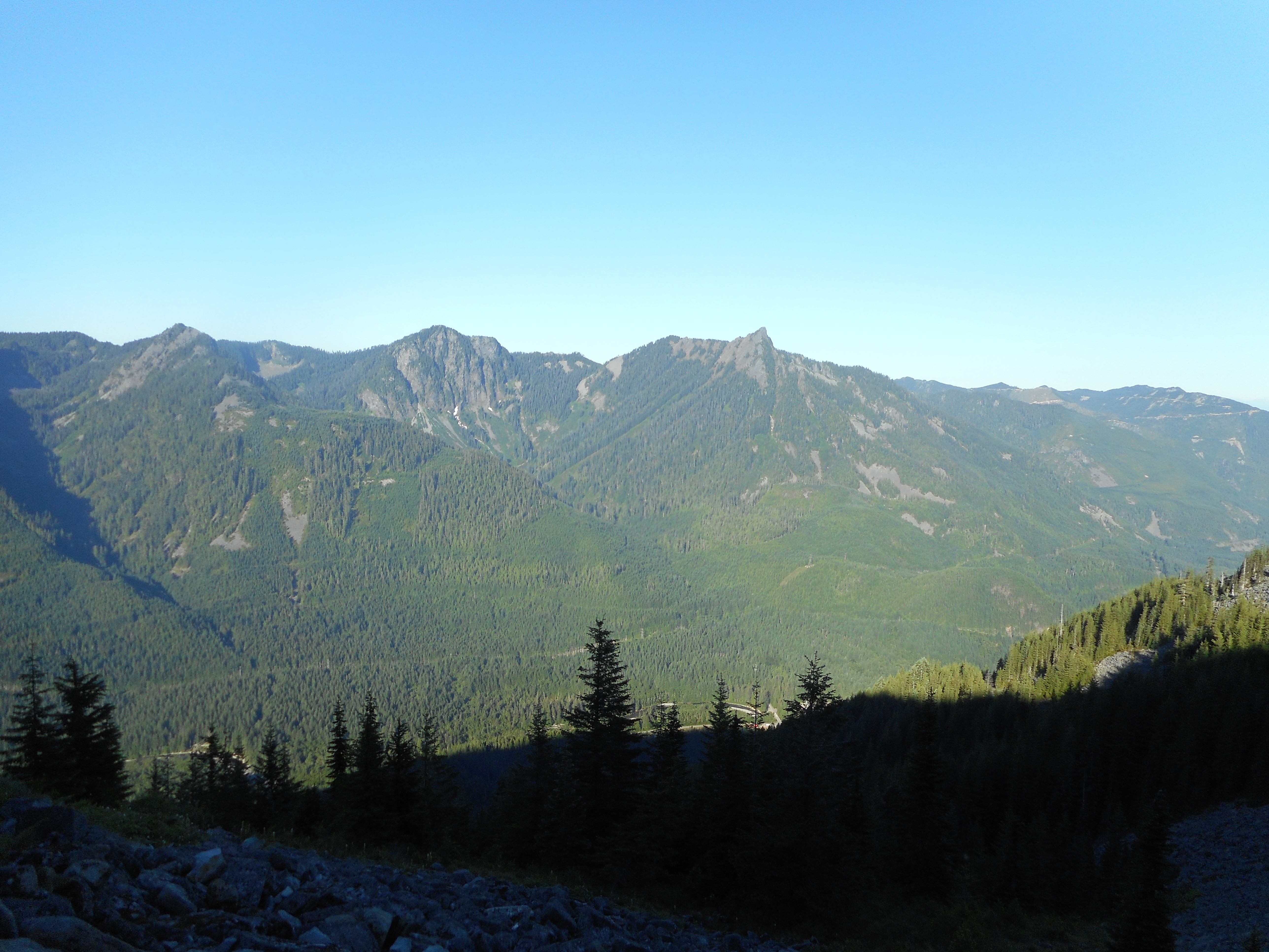
Crystal Lake sits in a basin surrounded by very impressive mountains:
Above the Lake
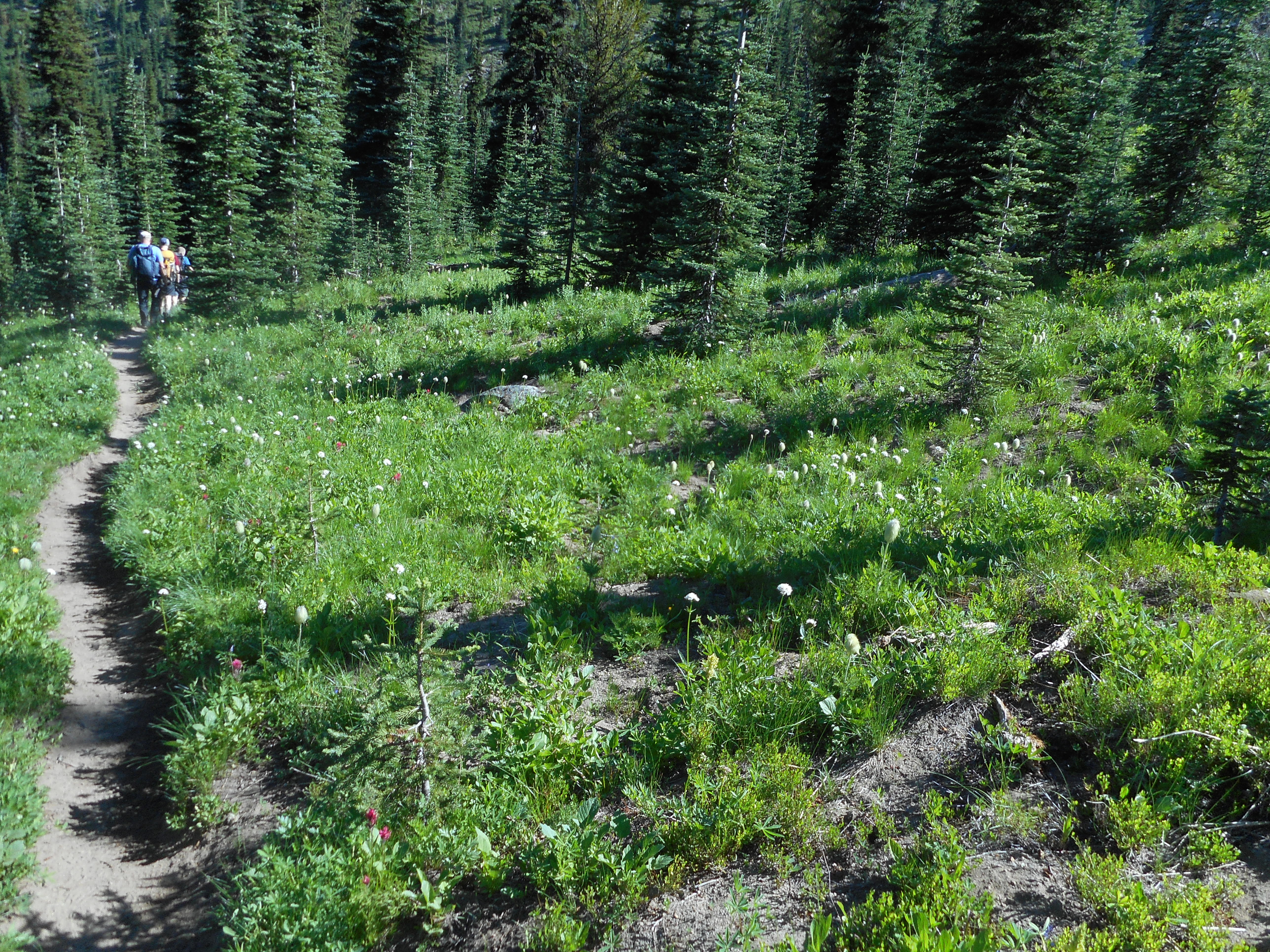
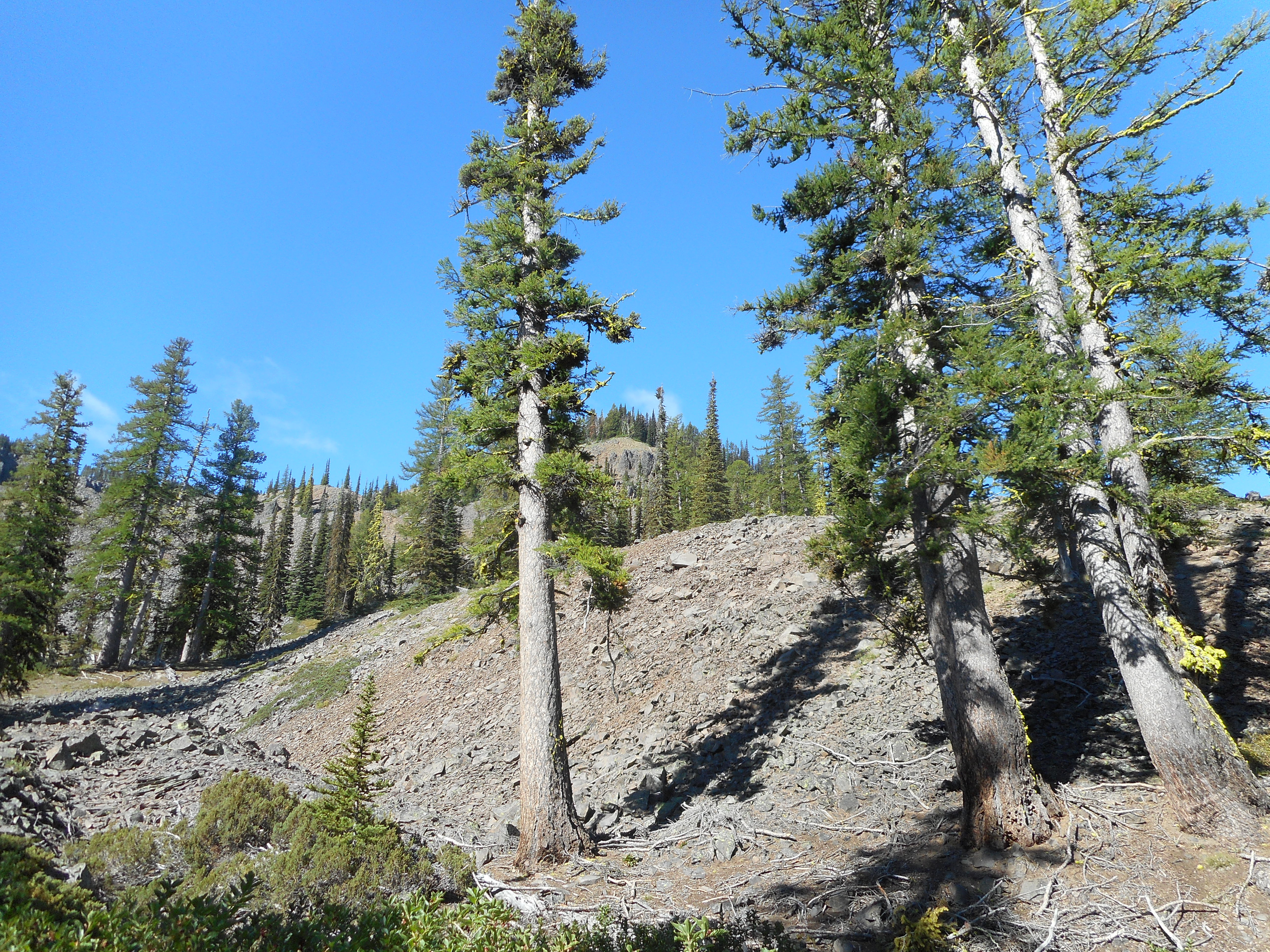
Just below the lake is another one of those beautiful mountain meadows:
Another Mountain Meadow
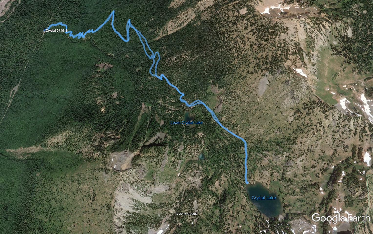
We were up pretty high, in the neighborhood of 5,800 feet +. Here is what our track looks like on Google Earth:
Track
According to my Garmin the hike was 5.84 miles with 2,263 feet of elevation gain. Fairly moderate but an outstanding hike nevertheless.
Dirk Pettitt and I have been talking about doing a hike for quite some time and today we did. We met at the Exit 22 Park and Ride a bit before 5:30 am and were on the Ira Spring Trail, heading towards Mason Lake, by about 6:10. We beat the heat and saw no one else the entire time up to the lake.
If Dirk is taking in the view in the photo above, what is the view?
The ViewAlso The View
We had a great time and will do another hike when we can get it planned. It was just a perfect day and beating the heat on the way up is a huge plus. Far less mess with sweaty clothes and the fear of cramps later on.
We drove to Lincoln Rock in eastern Washington on Sunday, 7/8 and stayed through about 1pm this afternoon. On Tuesday, 7/10, Derek and I did something we planned last year when we hiked to Clara and Marion Lakes without hiking boots.
We had seen a couple of peaks high above Marion Lake and thought we could make it to their summits if we came back with proper equipment. This year we had the equipment and when we got up there we discovered only one of the peaks was accessible.
But what fun going up. The trail (a snowshoe trail in the winter) begins at the Mission Ridge ski resort. It is a nice trail, not too steep, and it ends at Marion Lake, which is the second of two lakes that sit at about 5100K elevation – the parking lot is 4500 feet.
Marion Lake
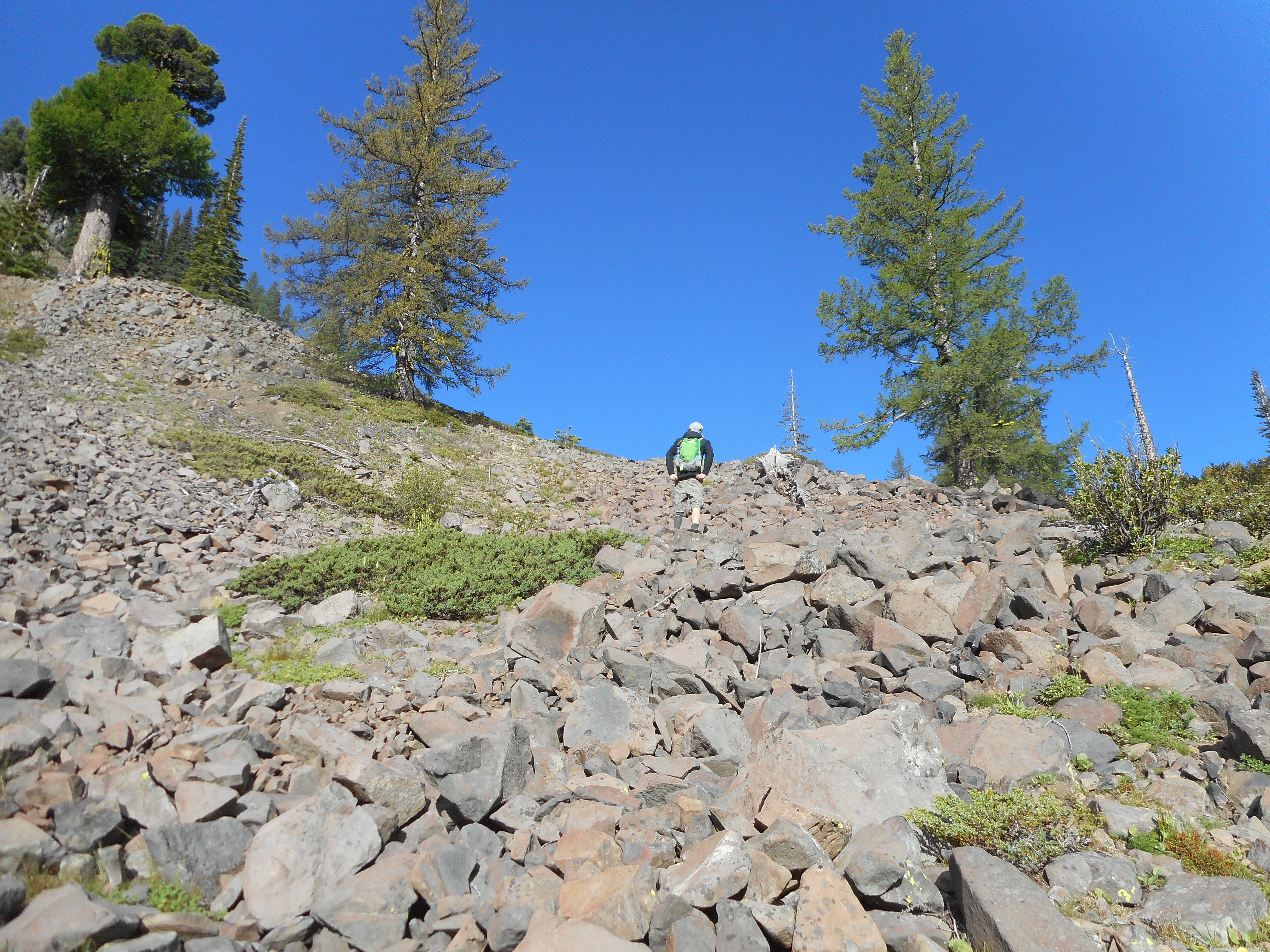
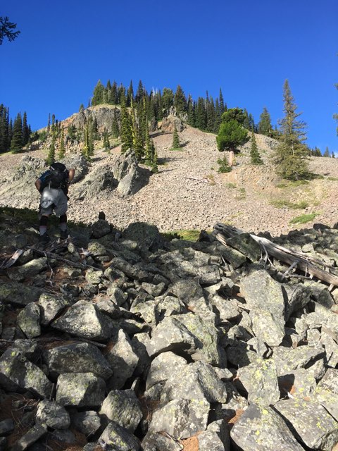
From Marion we just went up. Much of it was on a scree field:
Going up the Scree
It was hard work, very steep and scree is not easy on your feet. Eventually the scree turned into larger rocks, many of which were unstable. It became difficult and dangerous to make progress and for a few minutes we considered turning back. We just kept slipping, sending rocks tumbling down the mountain, risking life and limb.
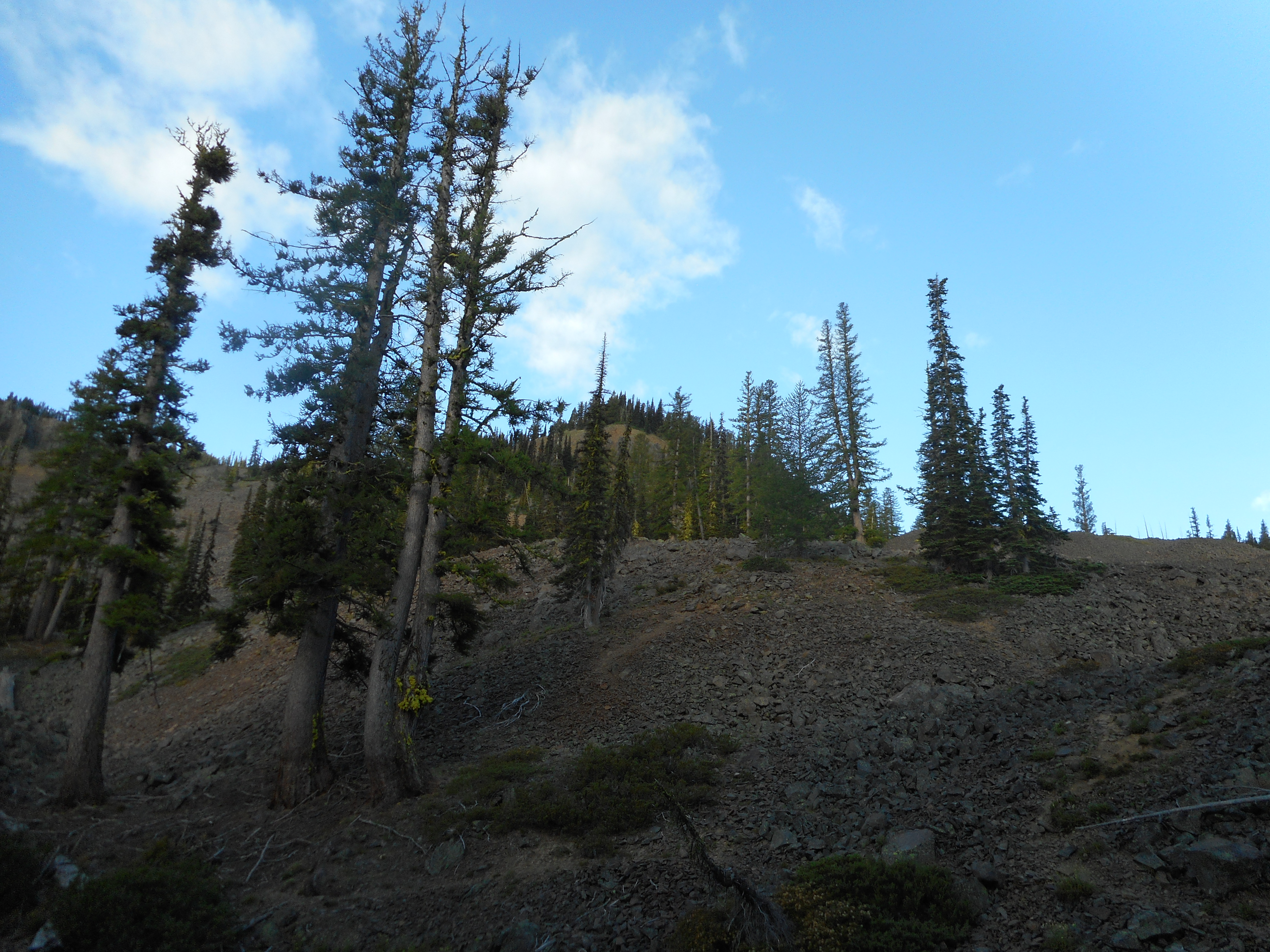
However, we did discover a route that was more solid, that eventually turned into something like a forest and from there we made good progress. We left our backpacks at the point where we started up into the trees so no photos from me (camera was in the backpack and not easy to carry). Derek took some pix with his phone and if he sends them I will update the post.
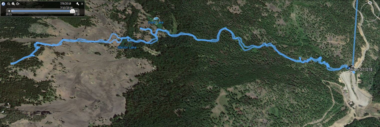
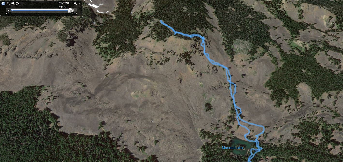
The GPS track screwed up and logged not only our hike but our drive to the trail head. Bummer – no good stats. However, I was able to load our track into various online tools, such as Google Earth and here are two images.
The first one is an overview of our route. The second one zooms in on the track from Marion Lake to the summit – the summit of what? I do not know because no topo map I have found gives it a name. You would think a 6300 foot + mountain near civilization would have a name but if it does, I have not found it.
OverviewRoute to the top
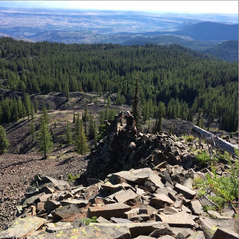
We were pumped we made it, it looked almost beyond us from down below:
Looking up from Marion Lake
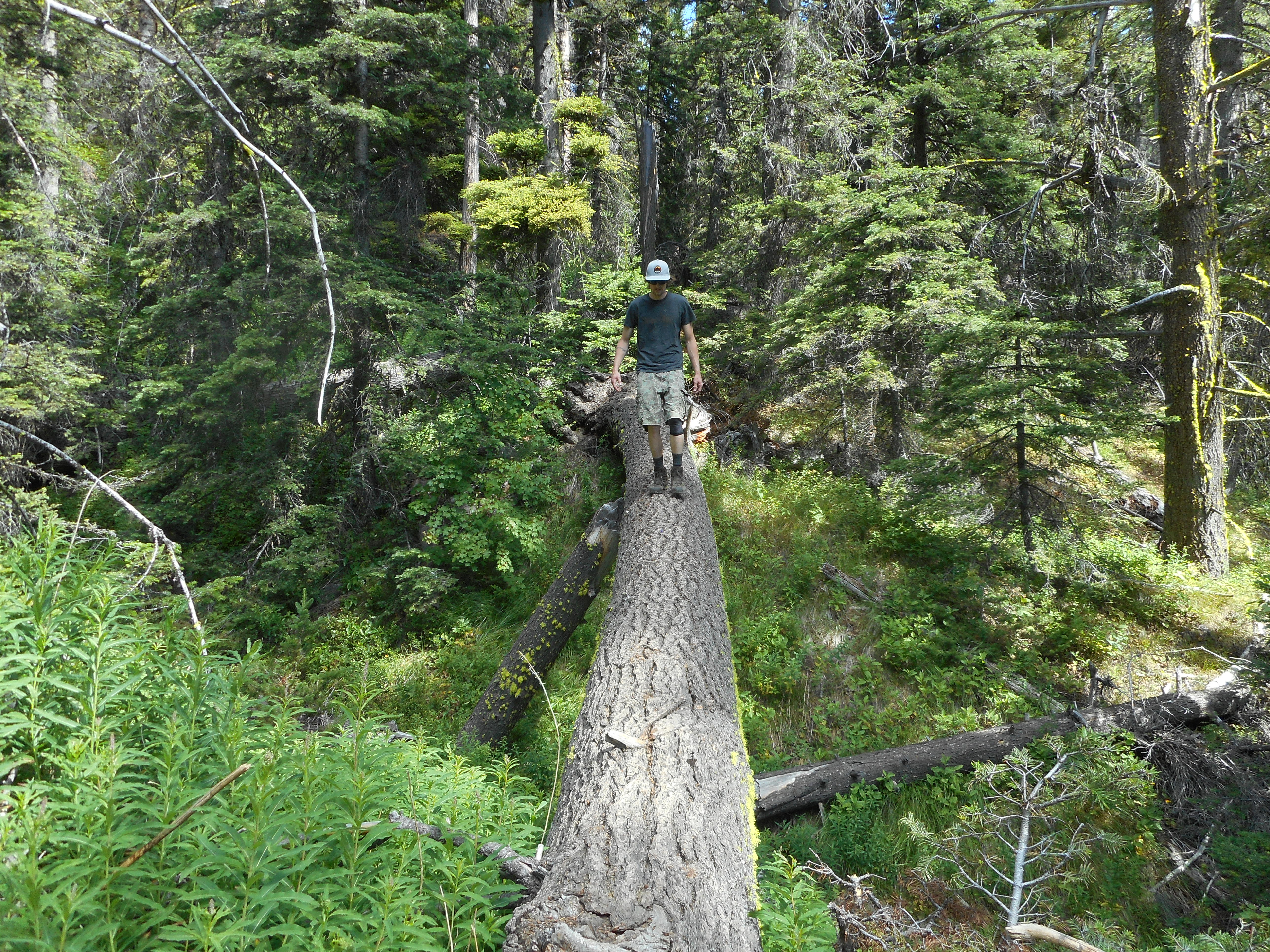
On the way down, Derek couldn’t resist walking across the same off-trail log he walked across last year. It is a good 20 foot tumble should you fall:
Derek Having Fun on a Log
All in all a wonderful hike/scramble. We had a goal and we achieved it (something we do not always do) and had just oodles of fun along the way.
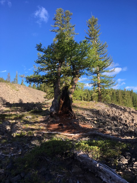
UPDATE 7/14/18 – Derek sent some of his photos:
Derek Near SummitBeautiful TreesOn the Way Up
Thanks to Derek for sharing, what a memorable hike!
I babysat all day Friday and when I got home my niece Jaclyn and her husband (my nephew) Jeff were there. I hadn’t seen them since 2014 – Jeff flies helicopters in the Army up in Alaska and they aren’t able to make it down to Seattle very often – so when Jeff was sent down here for training for a few days we jumped at the chance to spend some time with them. They stayed with us Friday and Saturday, and we were joined by our grand kids Finley and Camden on Saturday night for a stay over so we had a full and happy house.
The rest of the gang showed up on Sunday for a taco lunch while our dog was swooning in ecstasy with all the people paying attention to her and all the plates to lick.
On Saturday, Jaclyn and Jeff, who are experienced hikers, joined me for a short (about 4 miles) but very steep hike up to J’s Landing. We were pretty dry on the way up but as we were sitting on the landing, enjoying the view, the clouds rolled in (see above – 10 minutes earlier the clouds were in the distance so they were moving pretty fast) and we got pretty wet on the way down.
Still plenty of fun and I hope we can do it again, without waiting another four years.
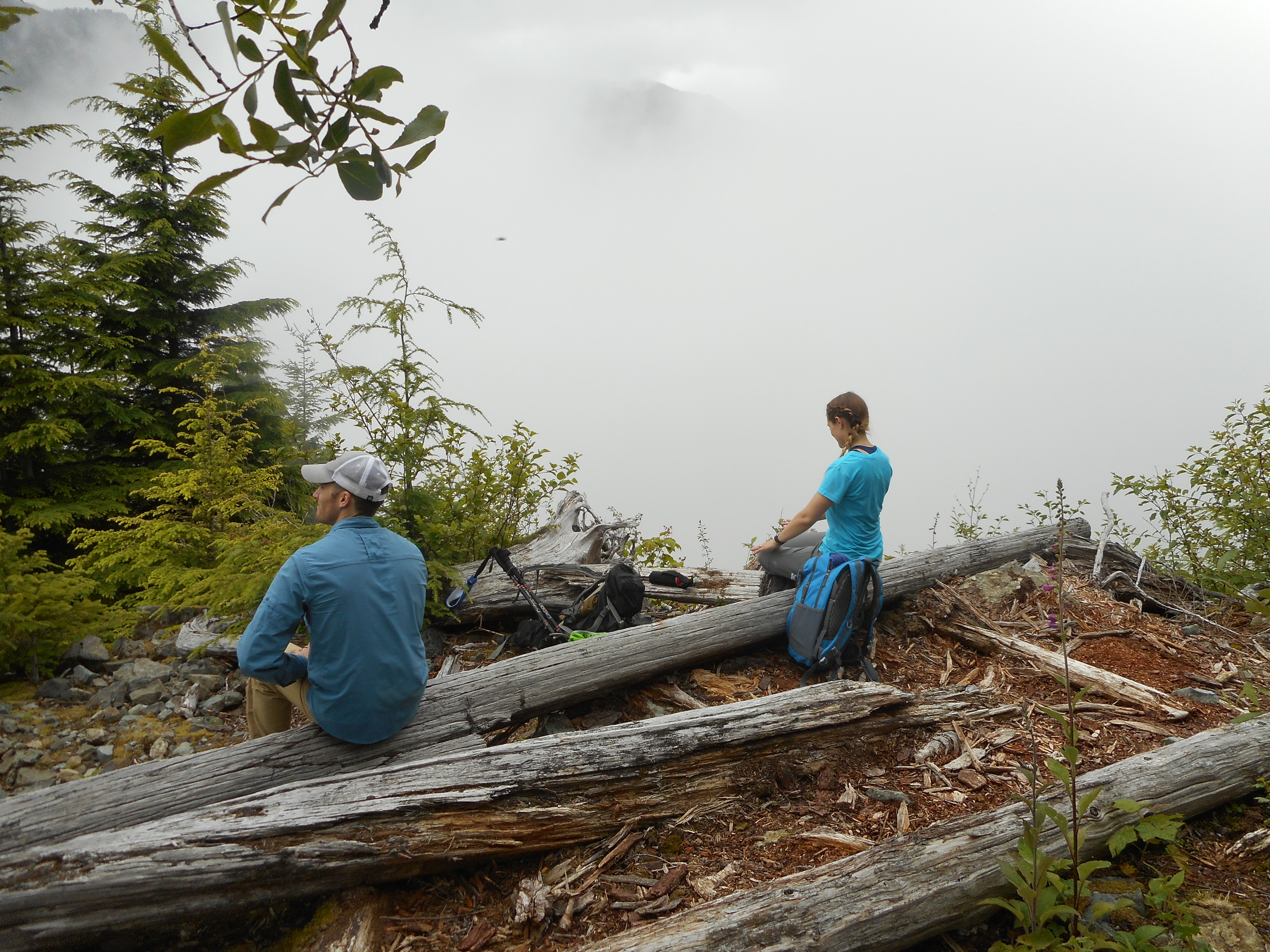
Derek and I did an overnight backpacking trip – I left my camera with him and did not retrieve it until this past Friday, 6/29 (and then had a massively busy weekend, see next trip report) so no report until today – on Saturday, 6/23 into Sunday, 6/24. Above is a view from just south of where we pitched our tents on Songbird Peak.
It was a great trip and we are already planning our next one. And we learned that we were carrying too much weight. My total load was about 40 pounds – try being an old man carrying a load like that up mountains. Ugh.
Overloaded
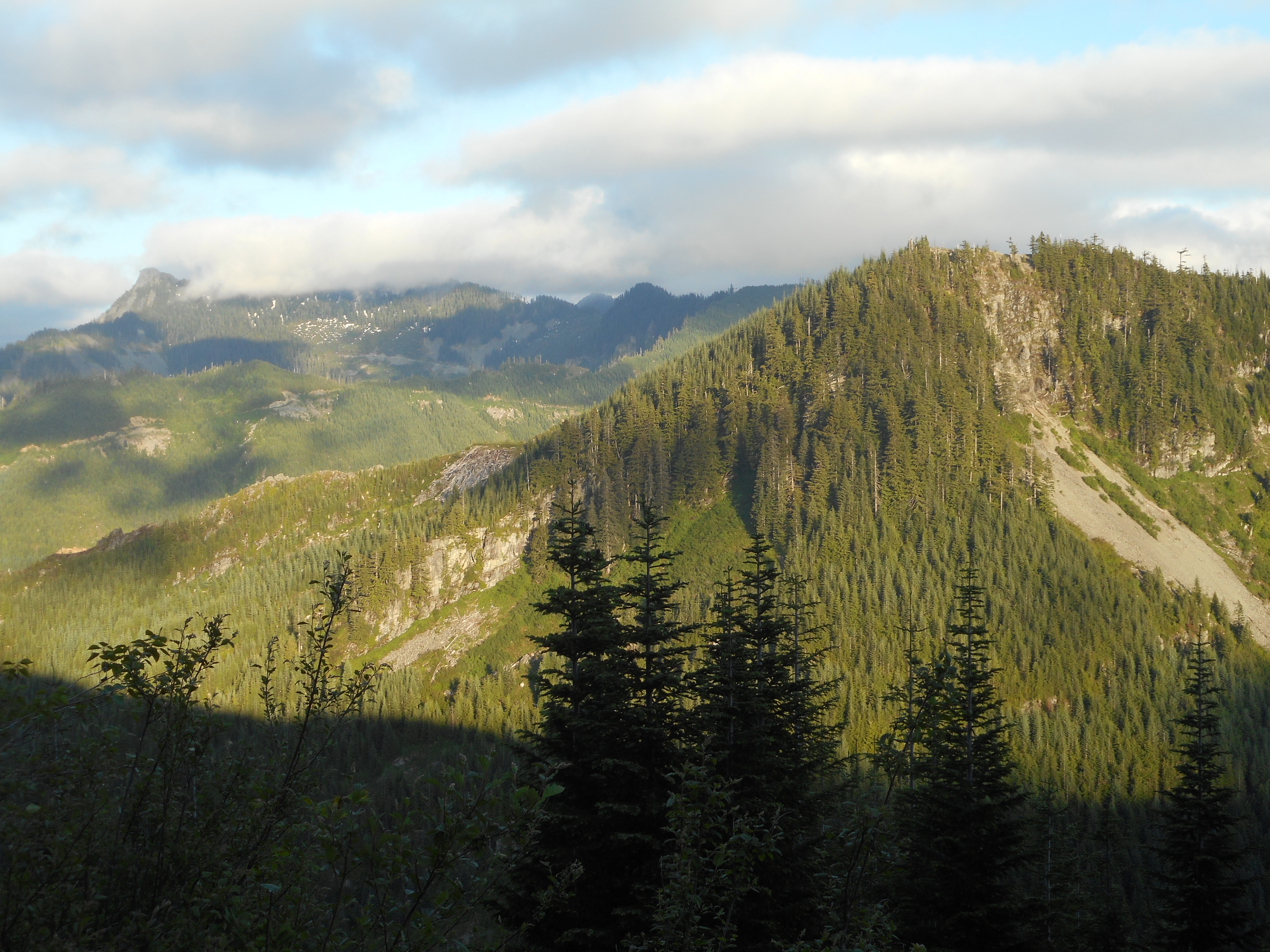
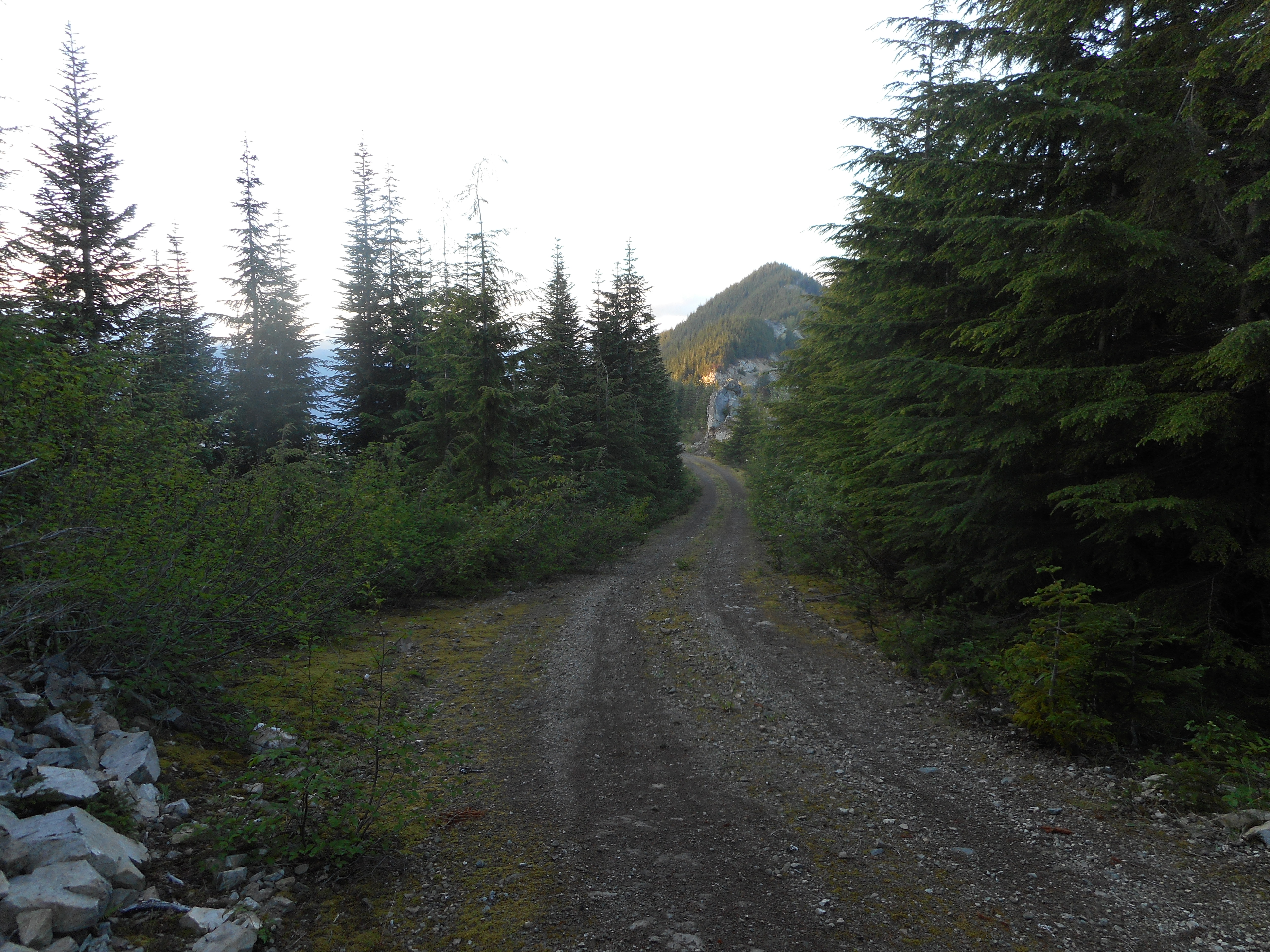
We started up the Mt. Washington main trail about 5pm. We went east at the Great Wall connector, shared the Olallie bike trail for a short way and then went up to Change Peak.
From there we went back down to the Great Wall and, since it was getting late, made our way south, then east, then north again to Songbird Peak. Here is the peak, with McClellan Butte in the distance, from the Great Wall:
The Butte and Songbird
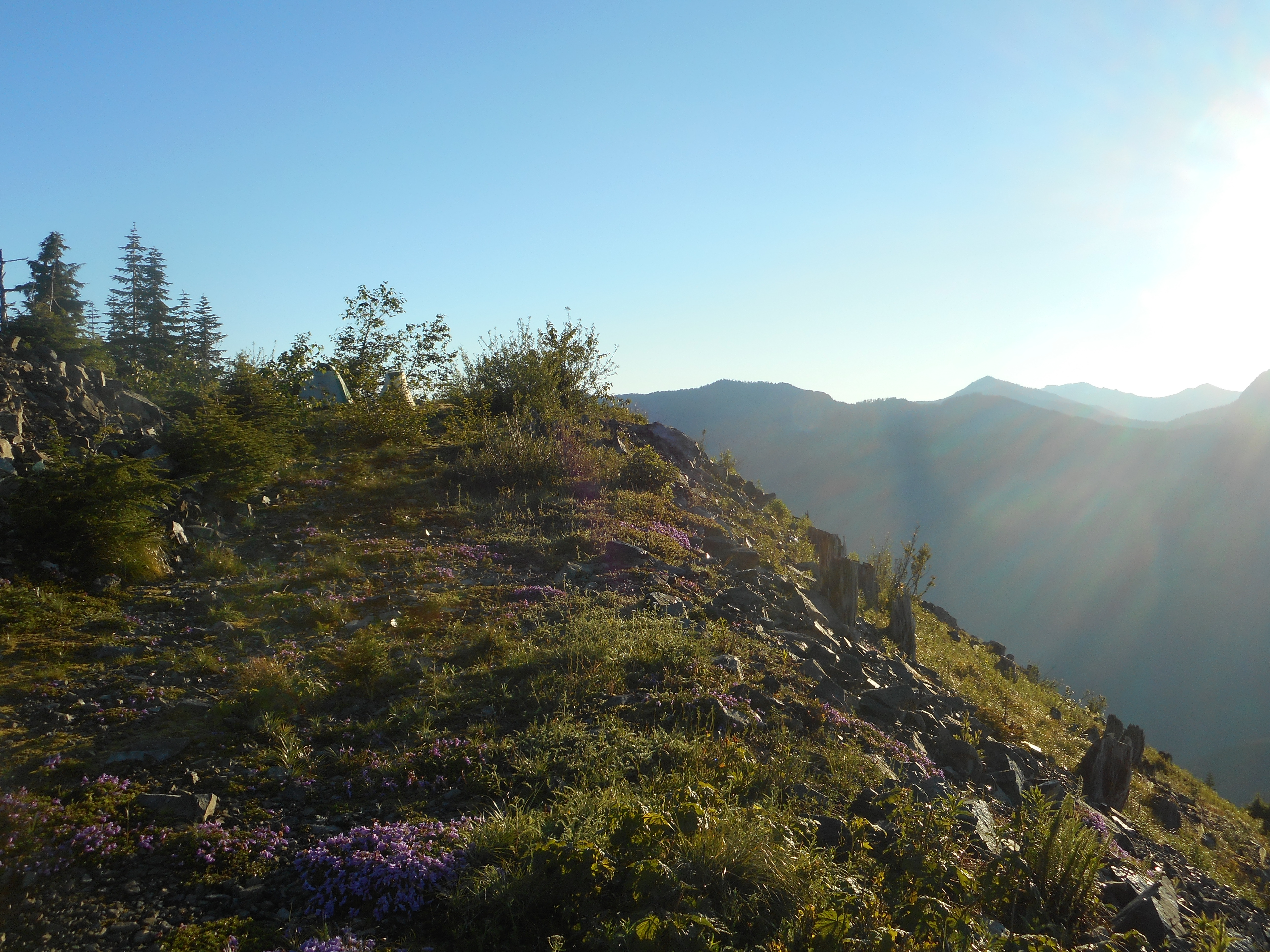
After camping on Songbird we got up early – sunrise on a mountain! – and headed back west to hit Mt. Washington via Great Wall route.
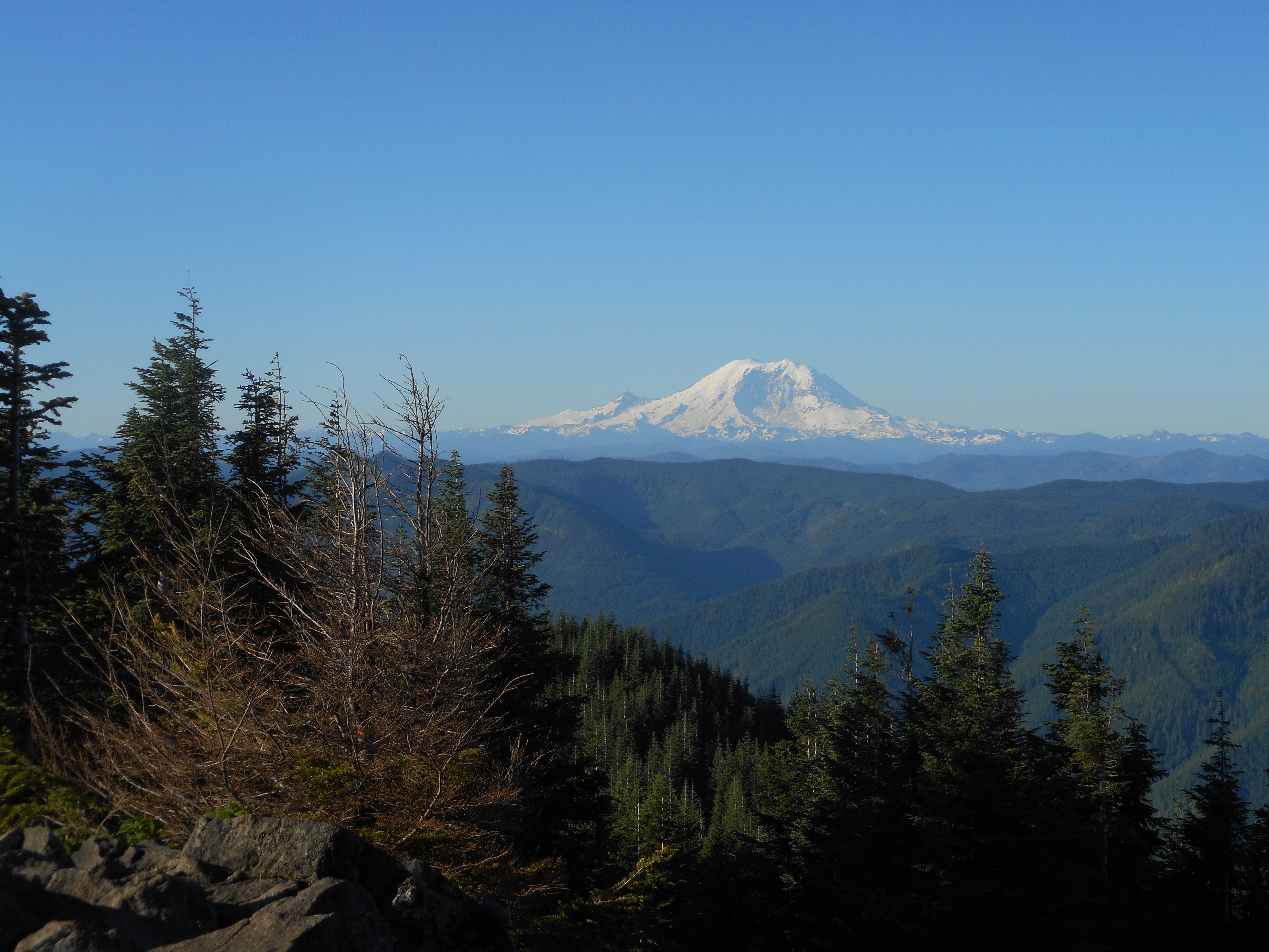
View from Mt. Washington
Sunday was so clear and beautiful. We made our way back east to pack up our camp and then stashed our huge backpacks in the brush while we headed east to try to hit Chester Peak. No luck – the route we had picked via Google Earth turns out to be in the ‘no trespassing’ area of the Cedar River Watershed so we turned back.
Derek went up Greenway and, farther west, a no-name peak that looks like this when viewed from the north:
No Name Peak
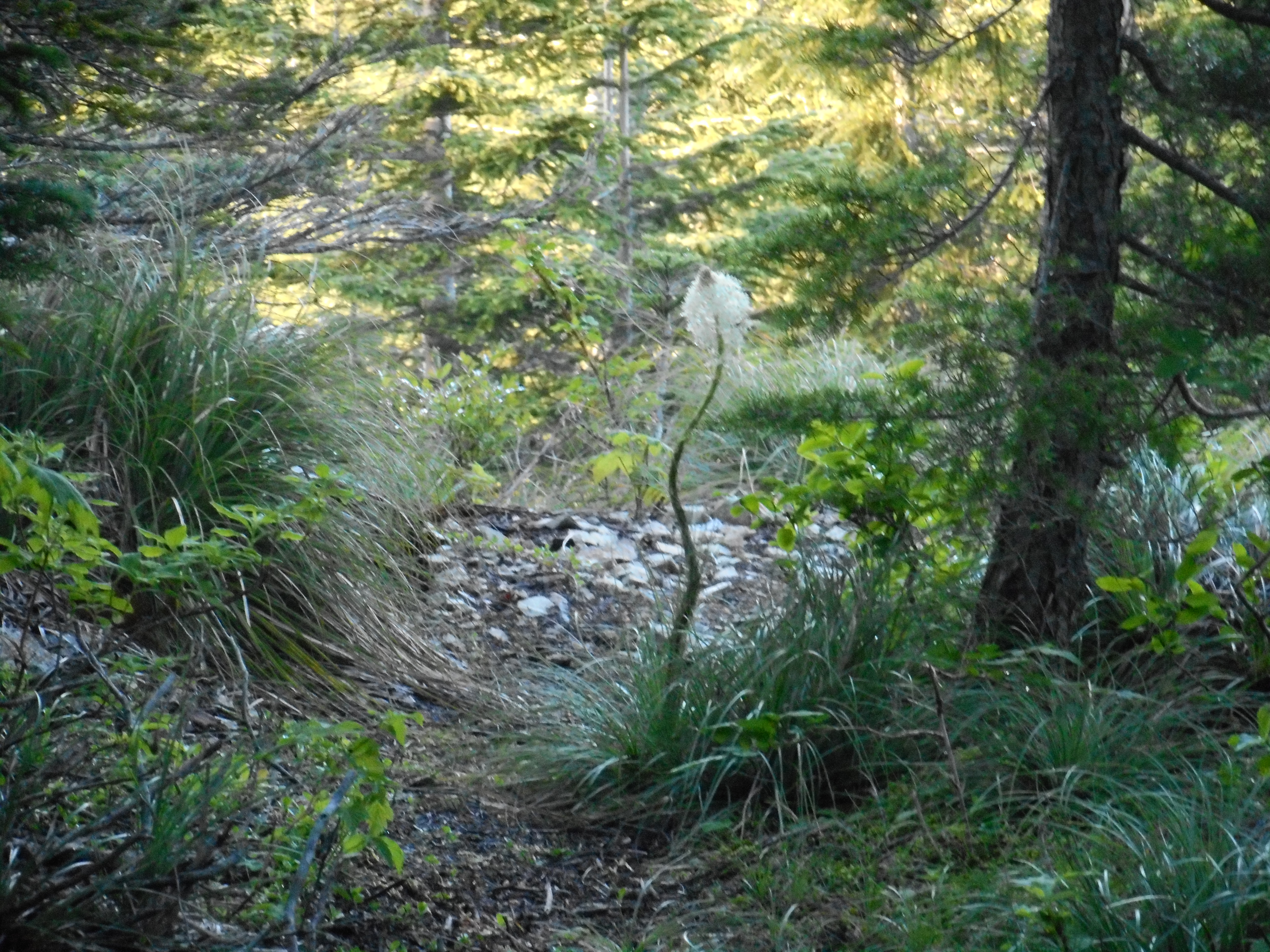
Lots of gorgeous plant life around and the Bear Grass is blooming these days:
Bear Grass
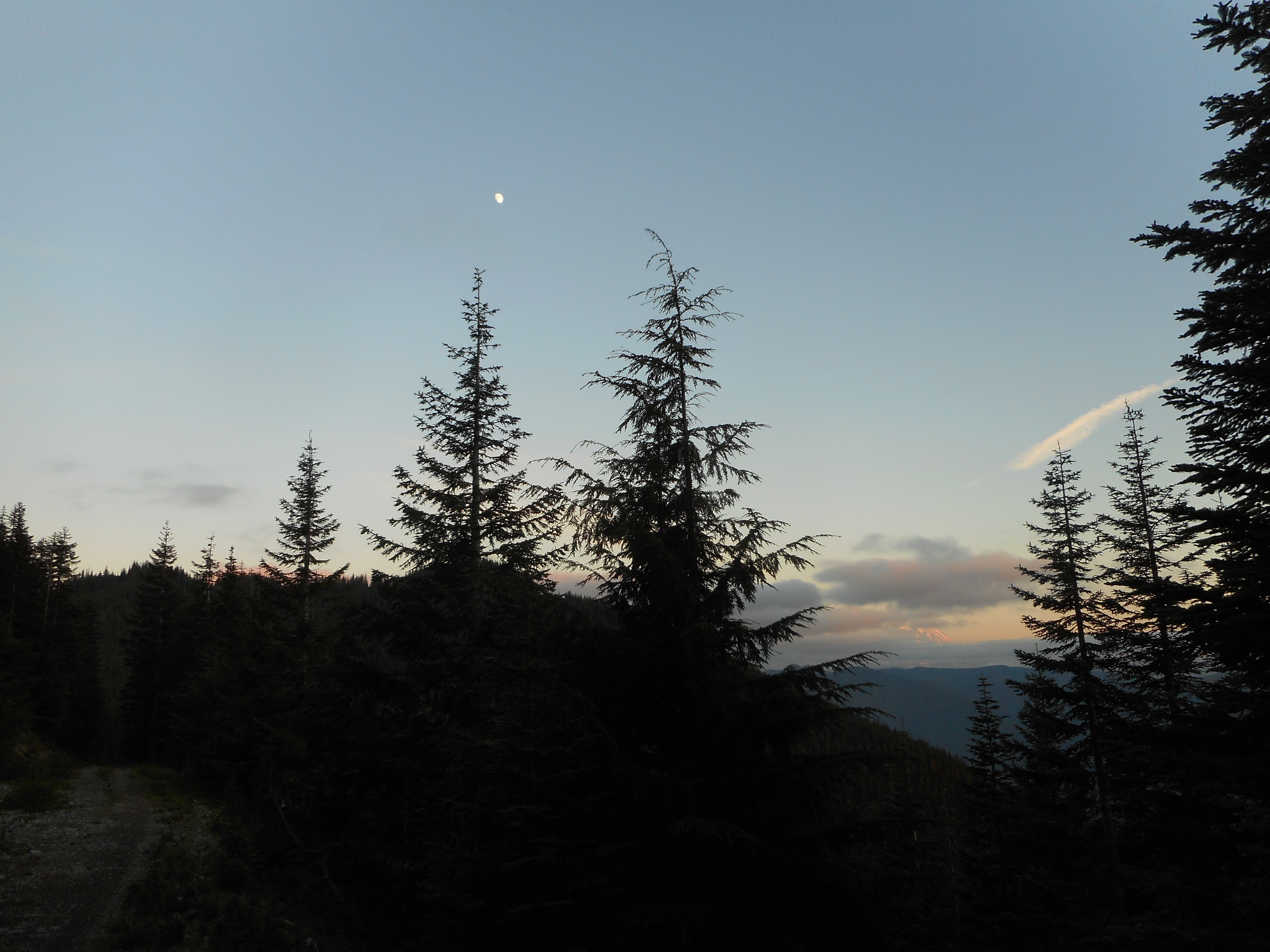
Between the amazing sunrise and the amazing sunset we reveled in our experience:
Night is Falling
Total for the 2 days was over 6,800 feet of elevation gain and 22 miles, 15 on Sunday. I admit I was almost completely exhausted towards the end. We went down the Mt. Washington main trail and on the last mile I was reeling and stumbling along, my legs having long since given out.
So next time, as I say, we will learn and will both lighten and consolidate our loads. Once we get all of that worked out we will be heading out for longer outings.