Rattlesnake Mountain 2/25/2016

Just about sunrise


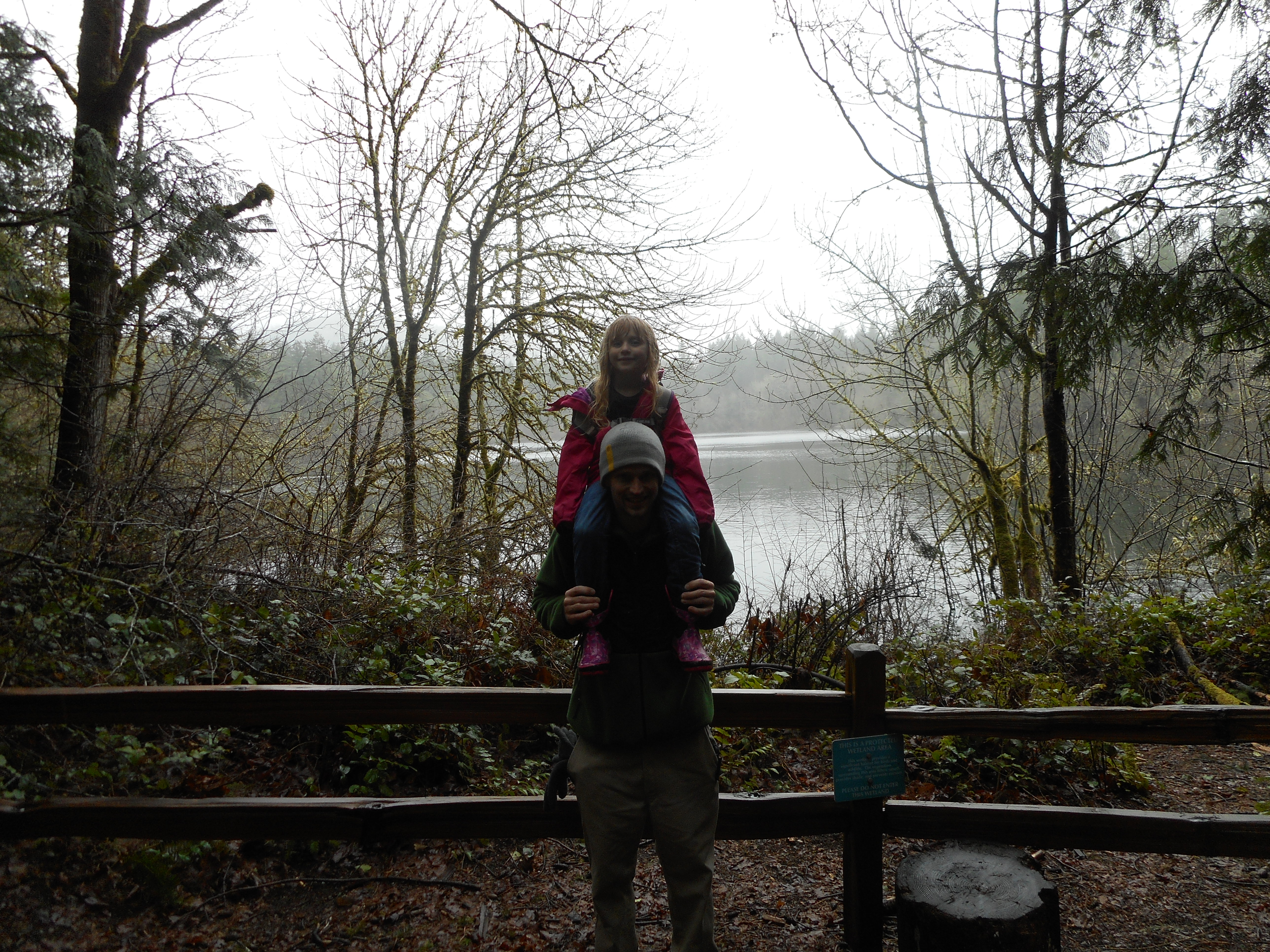
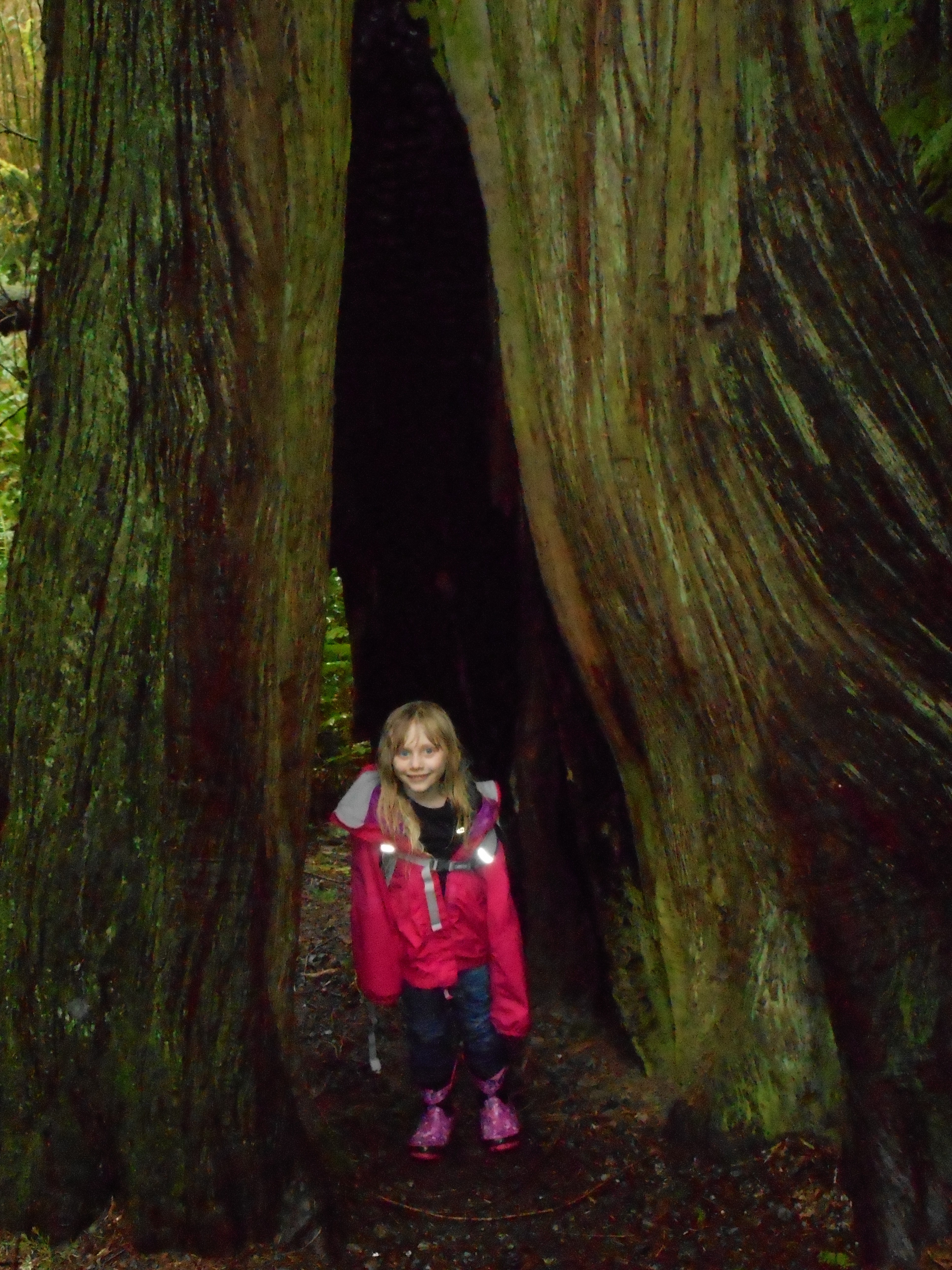
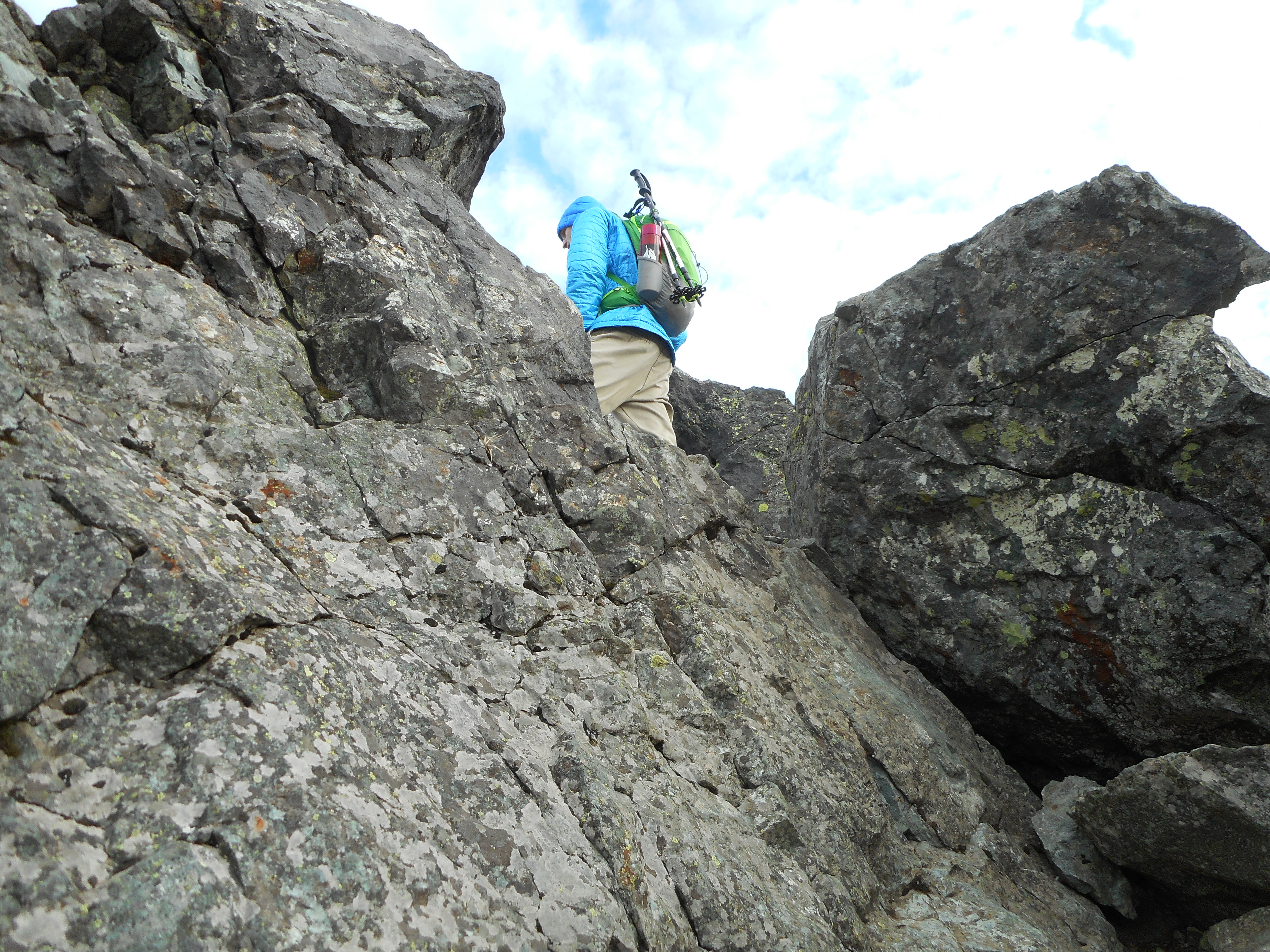
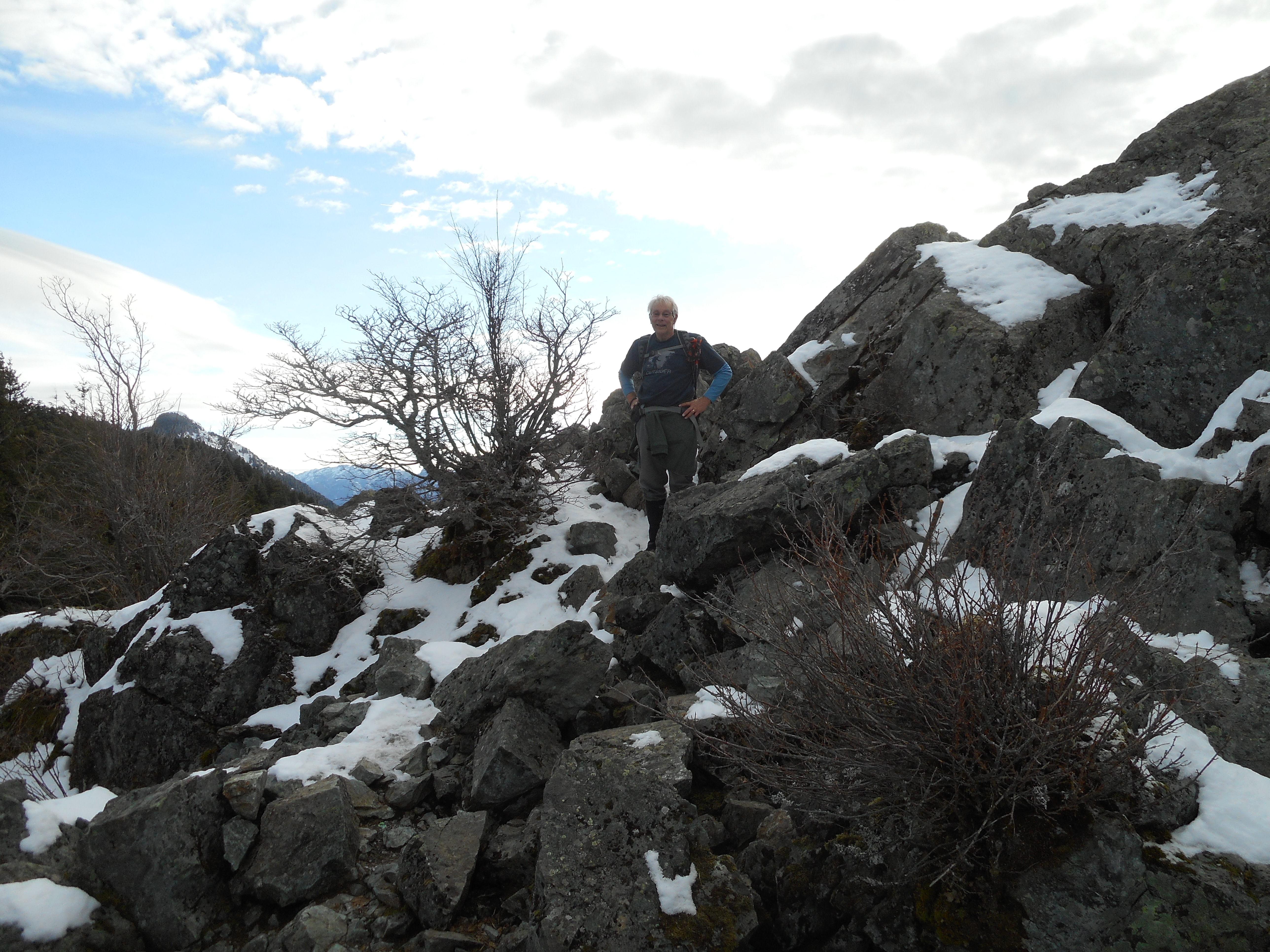
We did a really fun and vigorous hike today.  We parked one car by I-90 Exit 27 and then drove to Exit 32 – Rattlesnake Lake – and hiked up, across and down Rattlesnake Mountain.

We have done this a few times before and it is always fun.  We were shooting today to pretty much go right across without a break and within 4 hours.

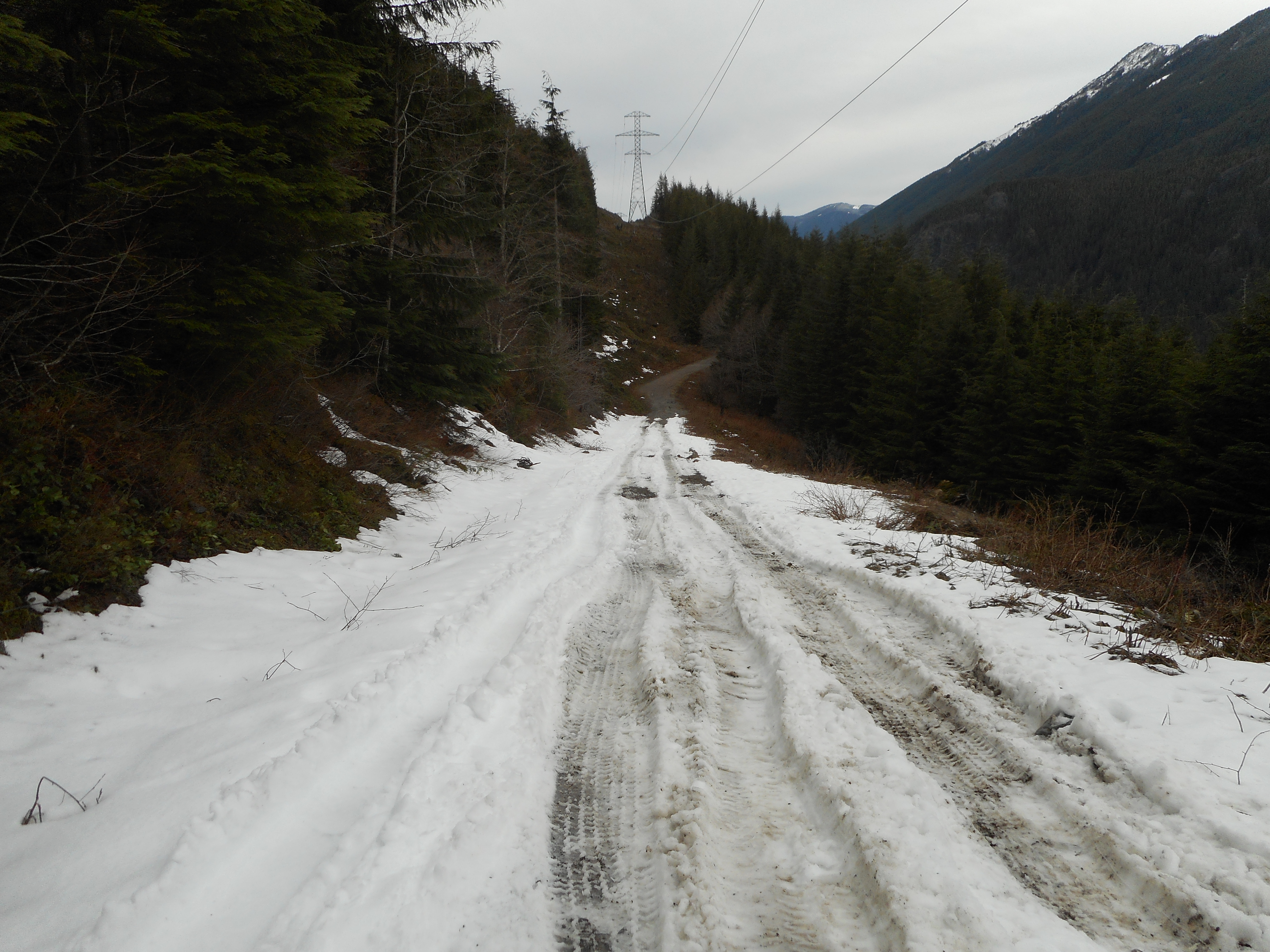
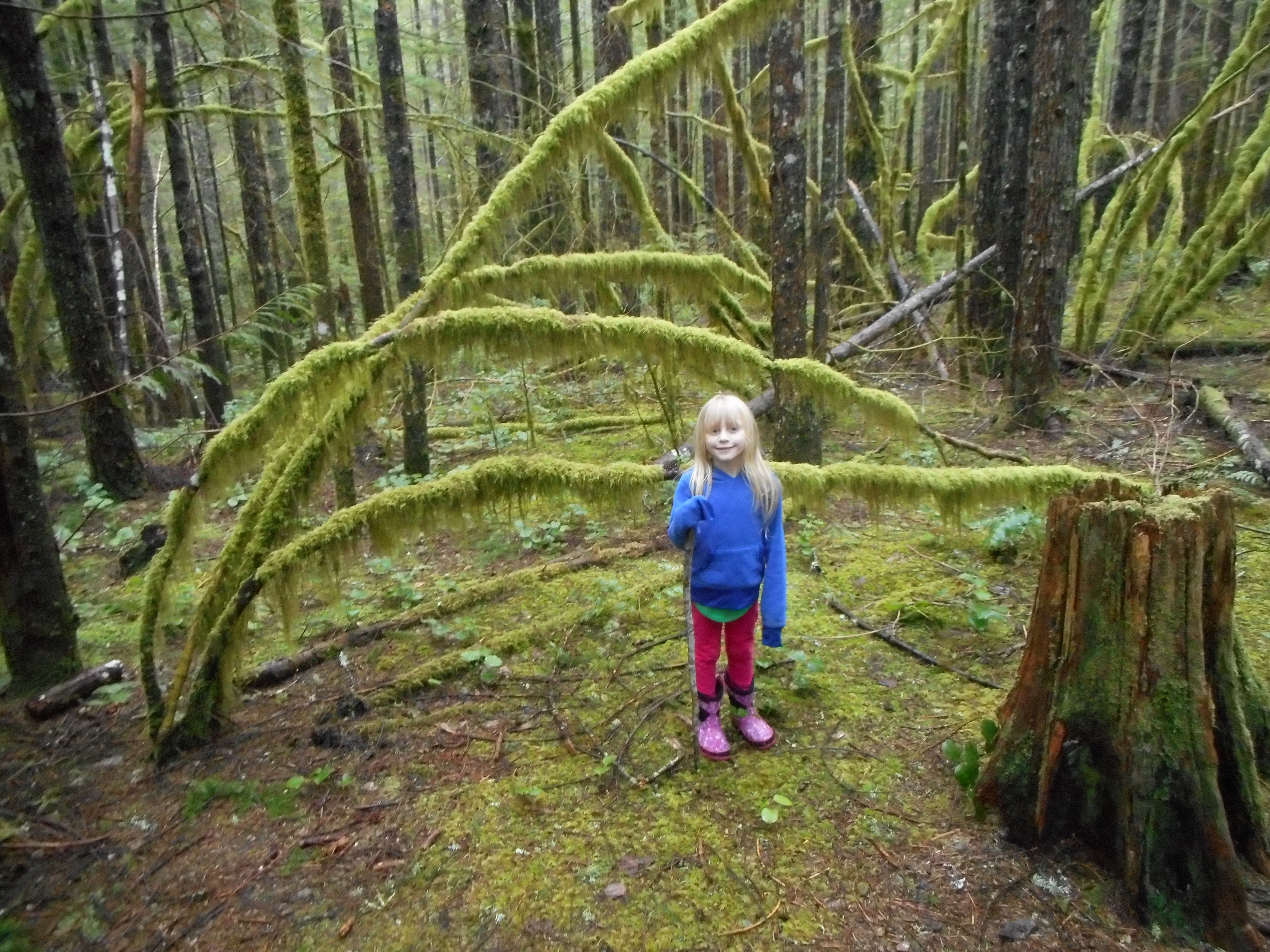
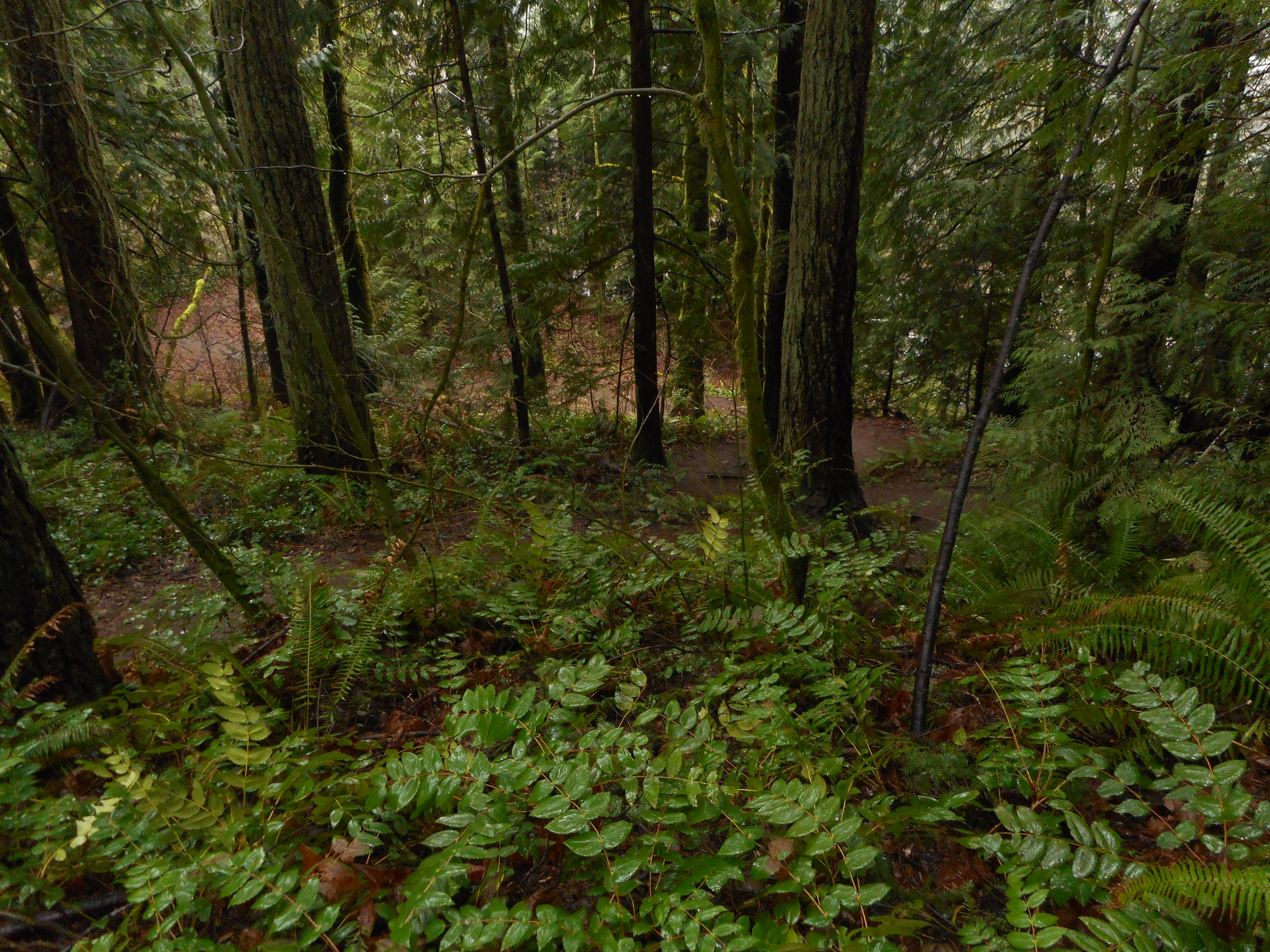
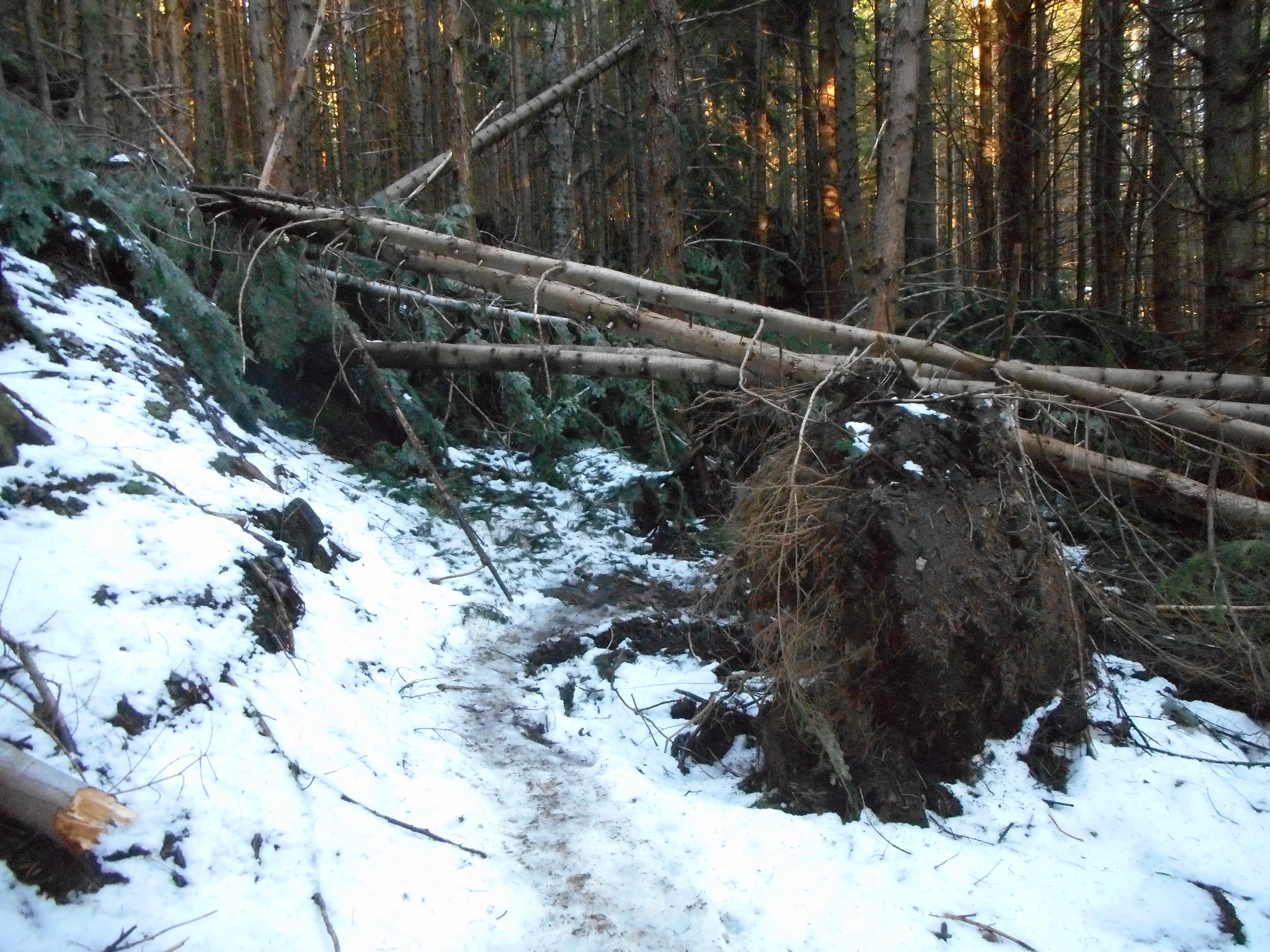
Alas, there were so many blow downs starting around 2500 feet, with lots of snow at 2900 feet that we were slowed by having to navigate over/under/around, and by the fact that they threw us off the trail for awhile.  Final time was about 4:25.

Blow down
Blow down

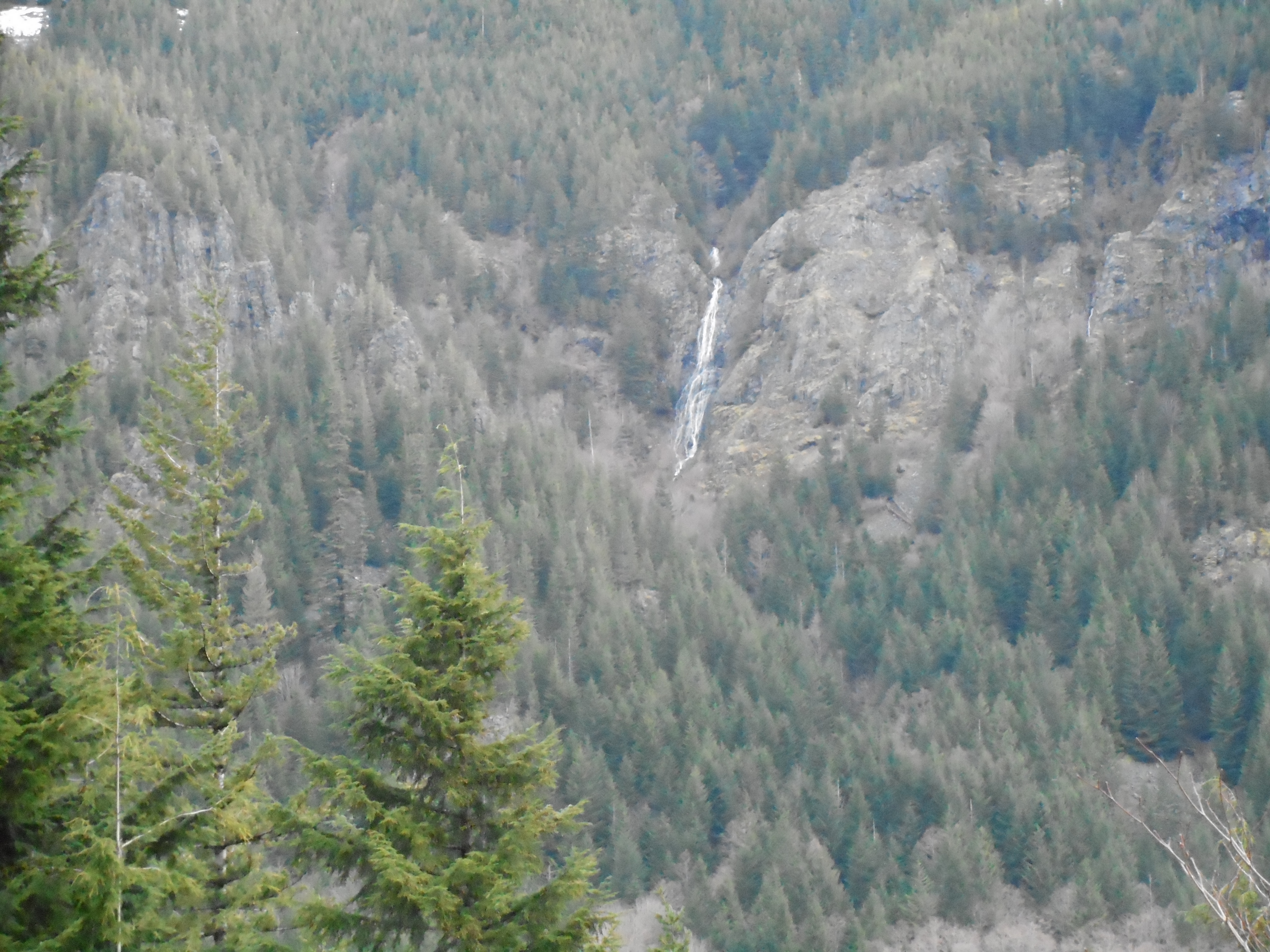
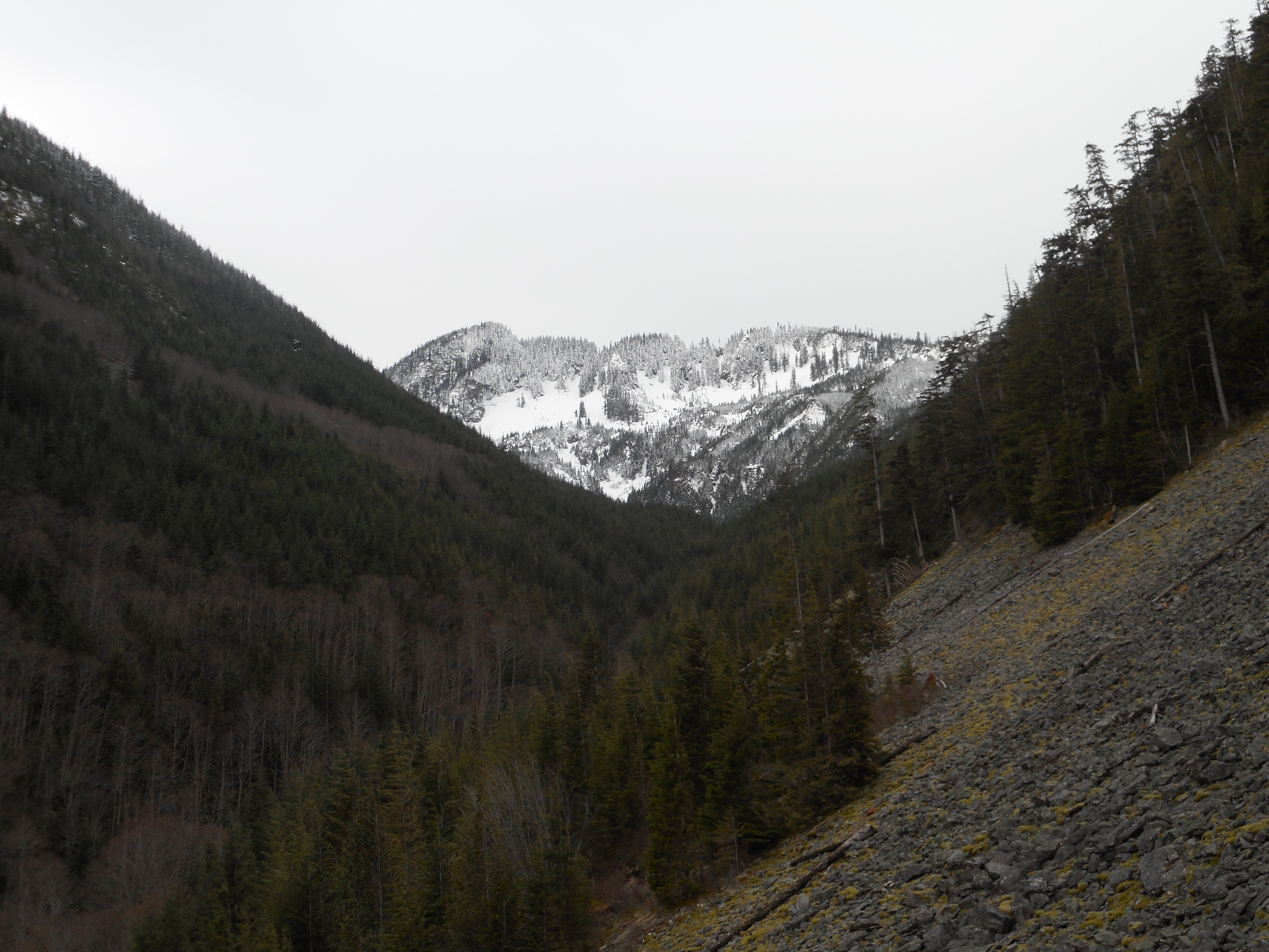
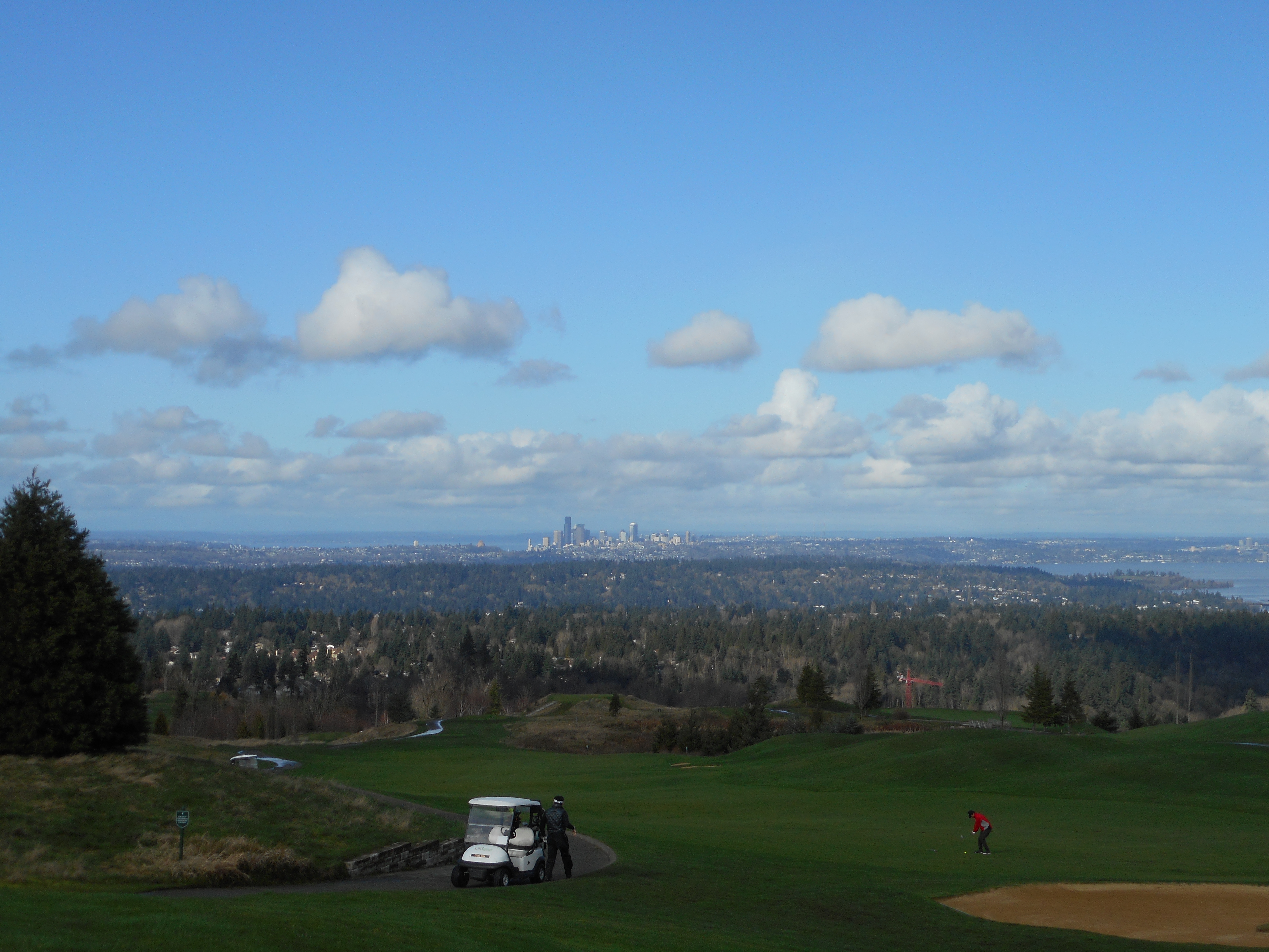
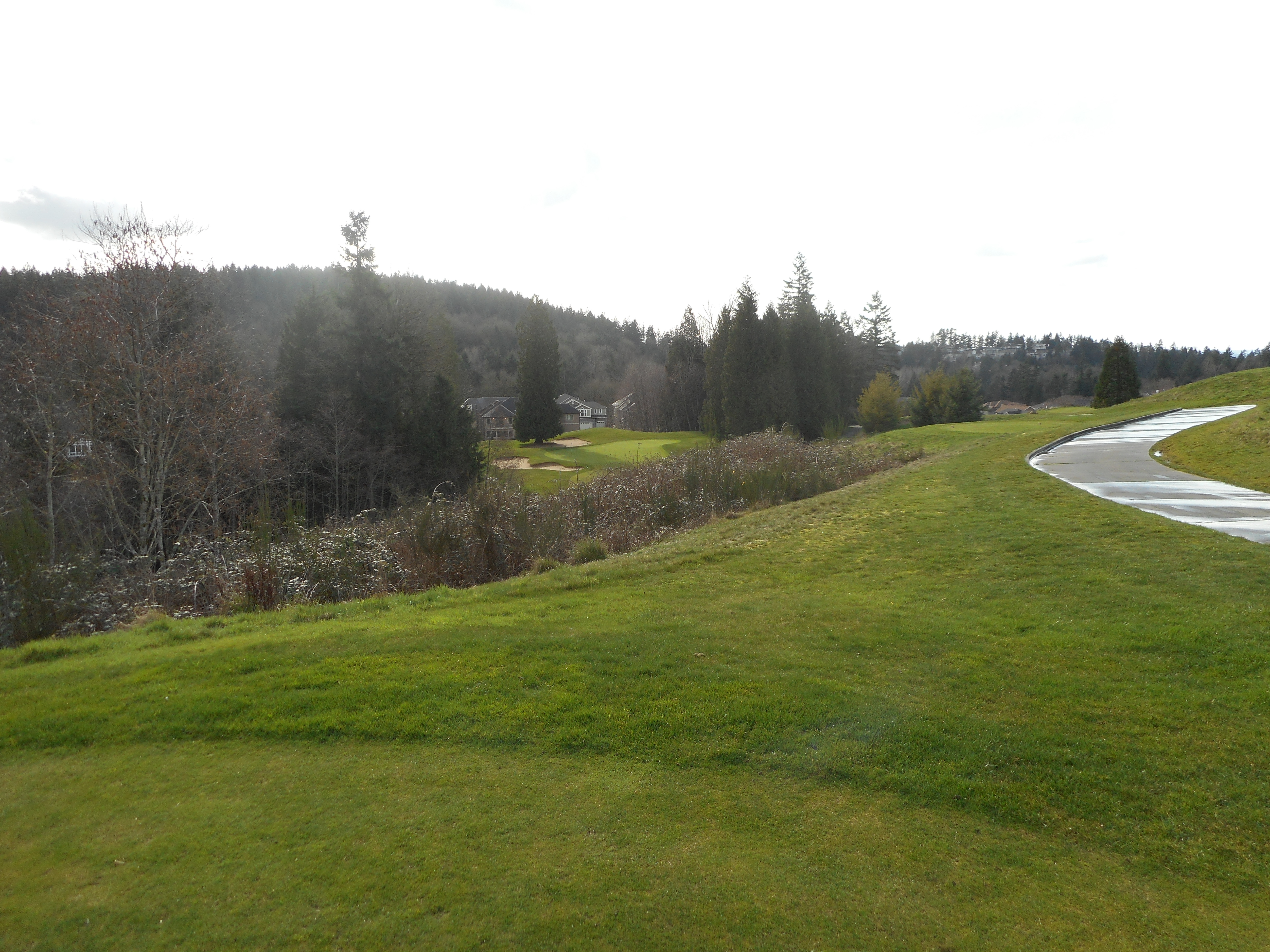
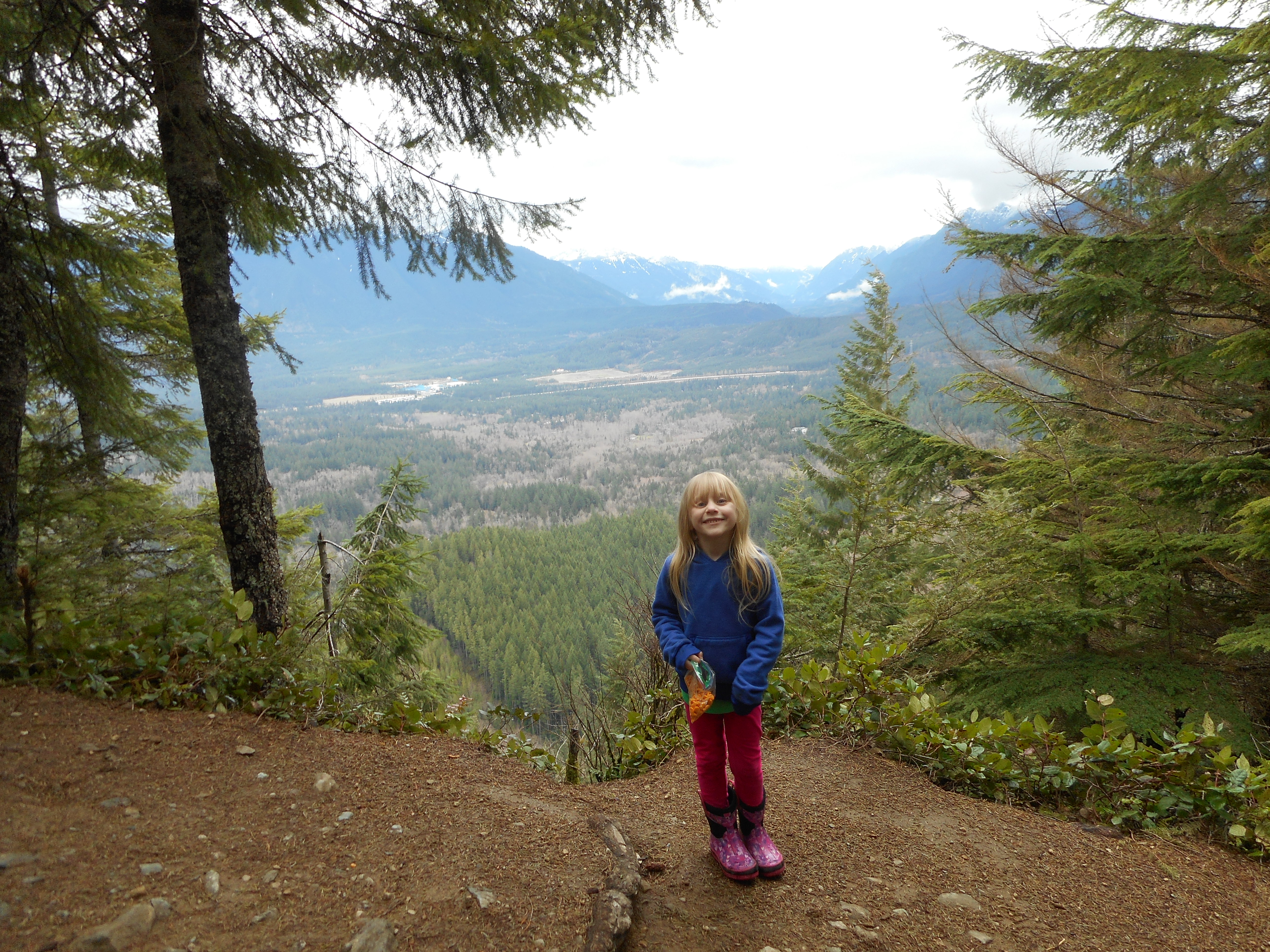
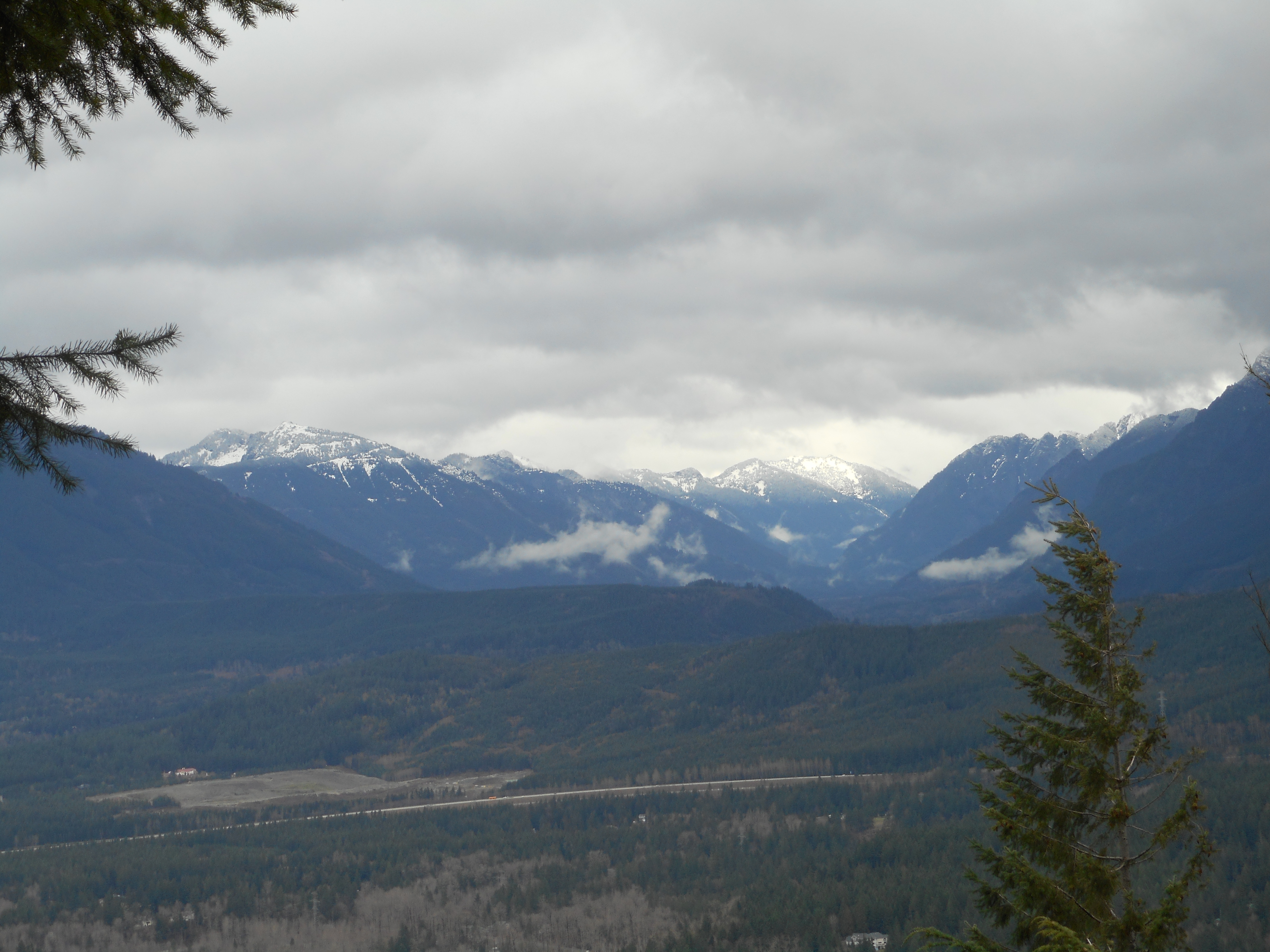
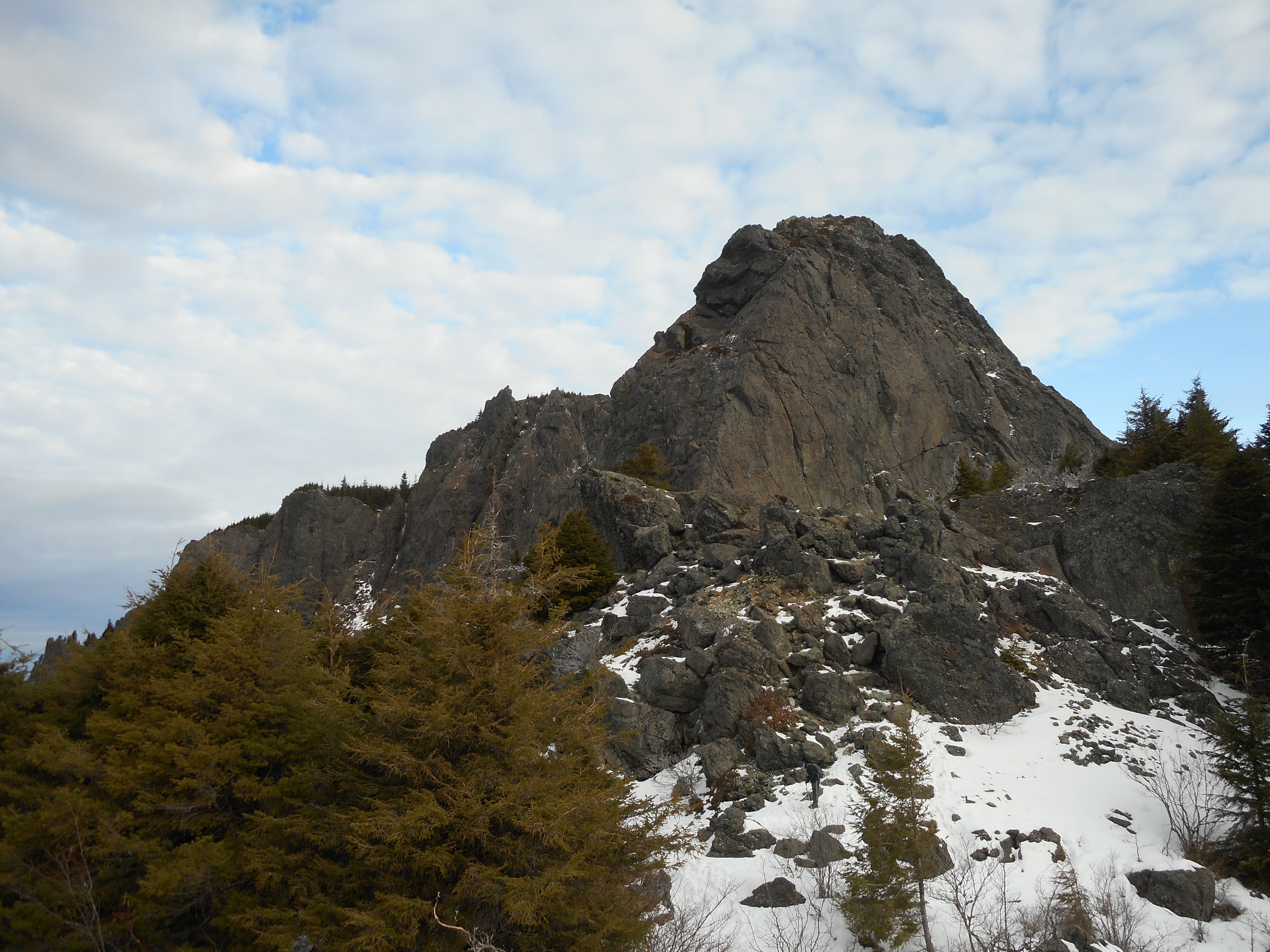
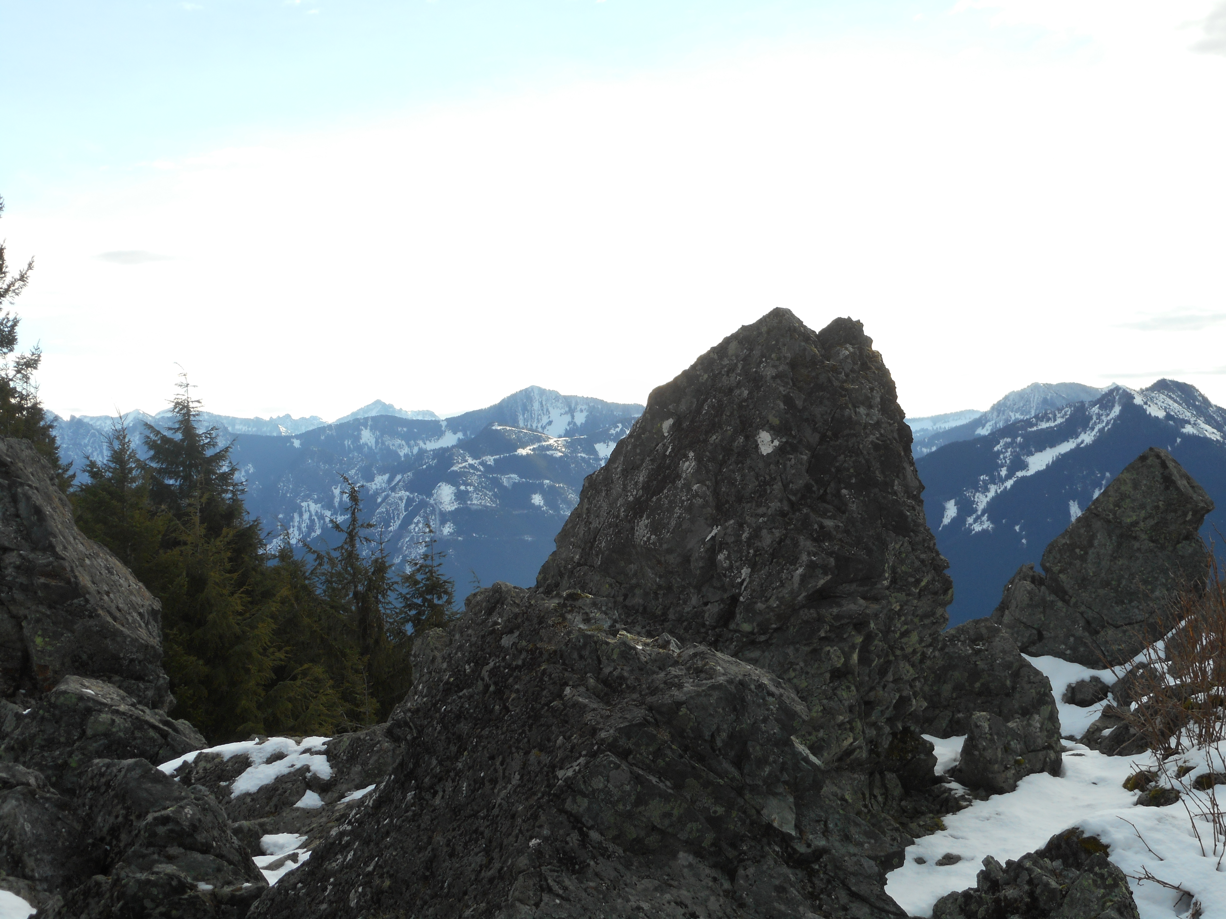
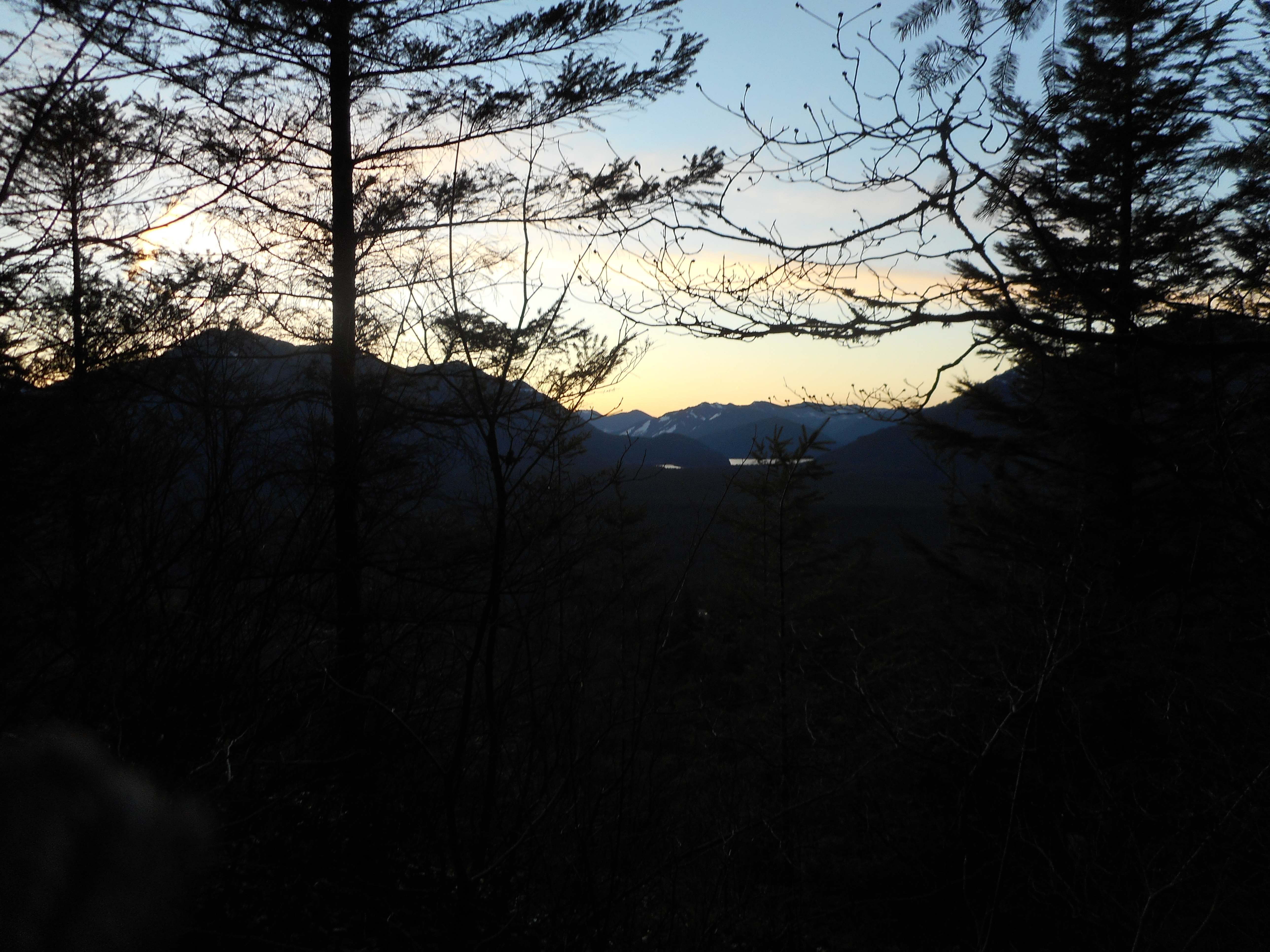
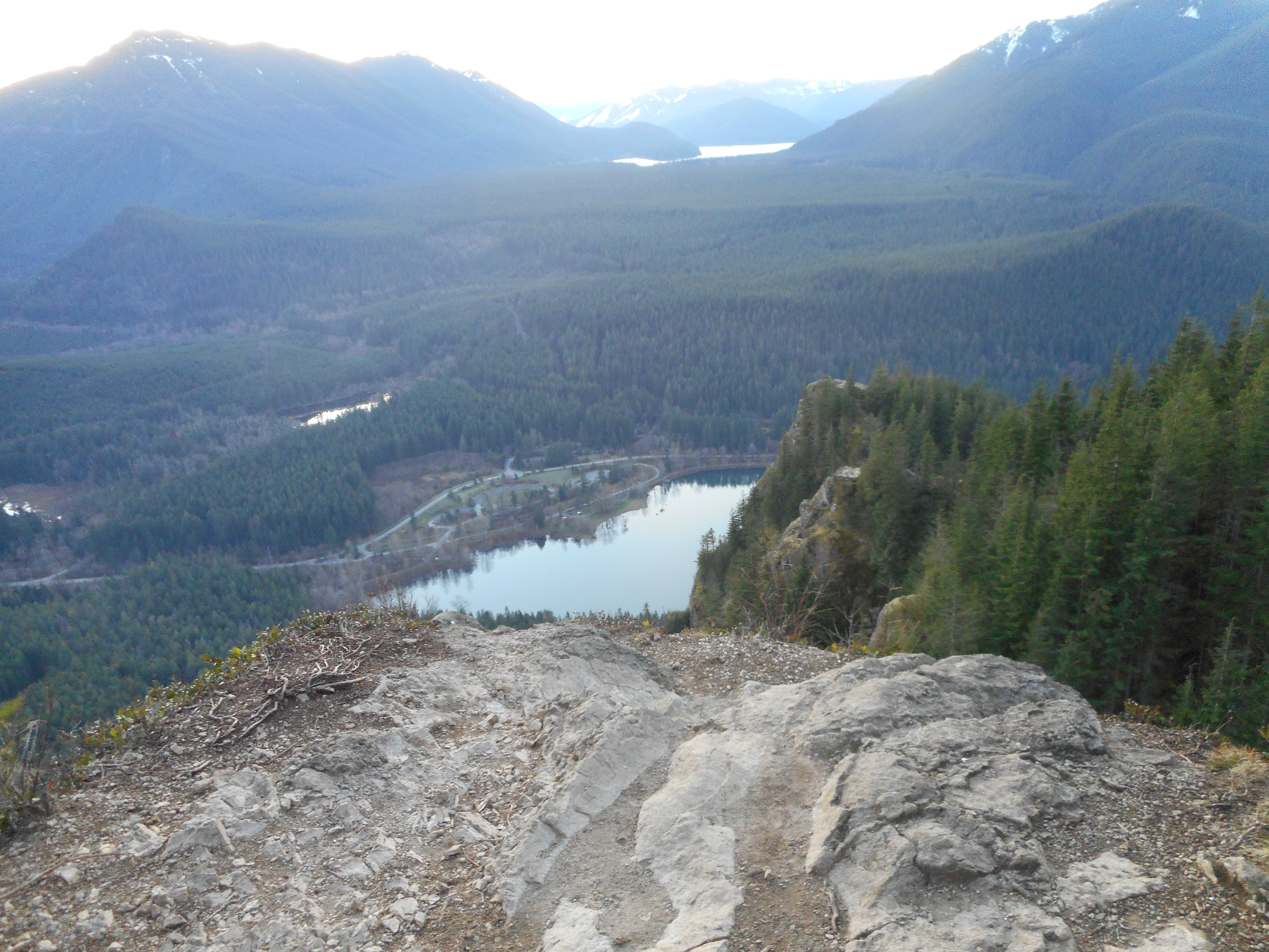
But as always, awesome views:

Rattlesnake Lake and the mountains to the east

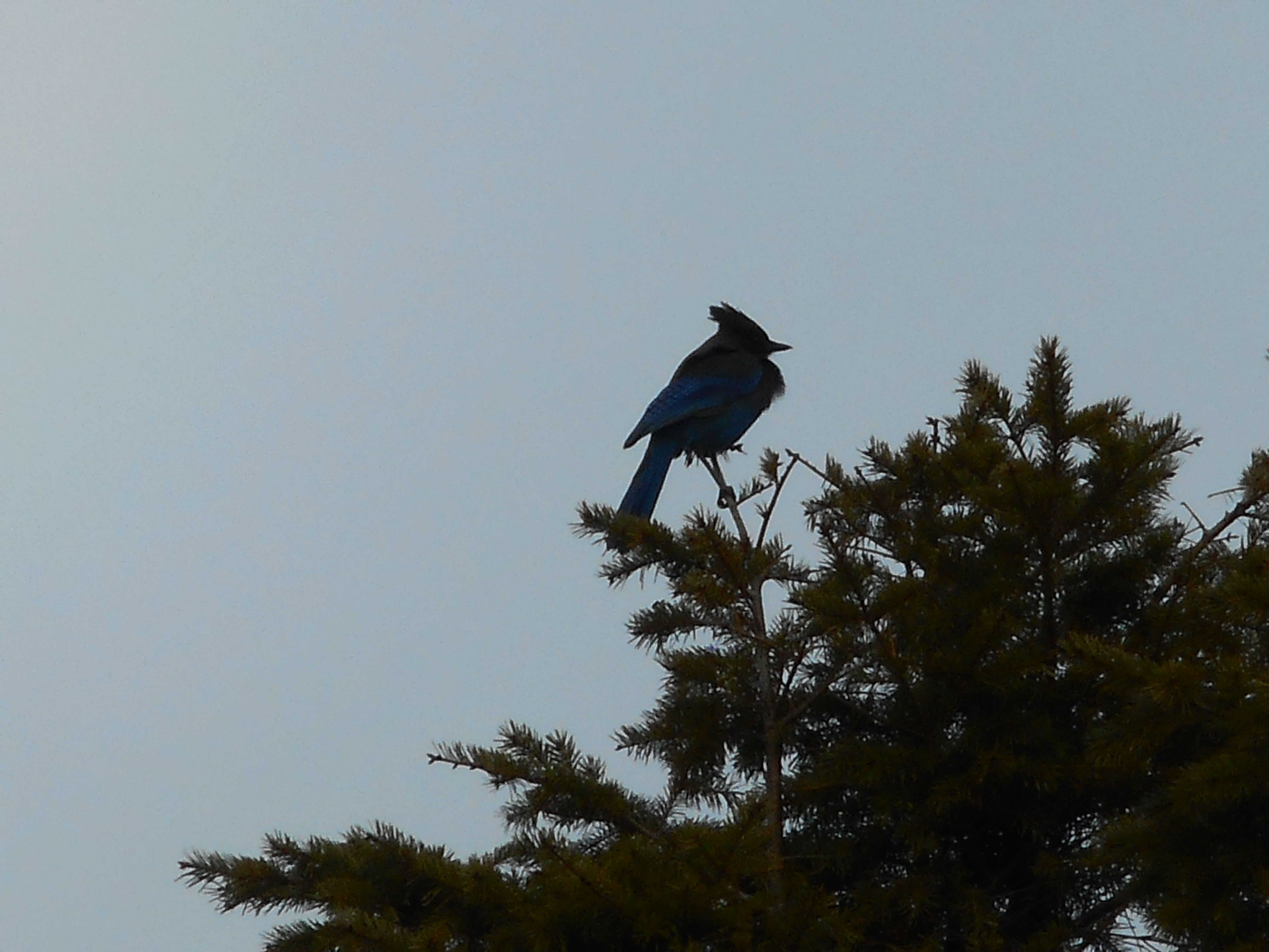
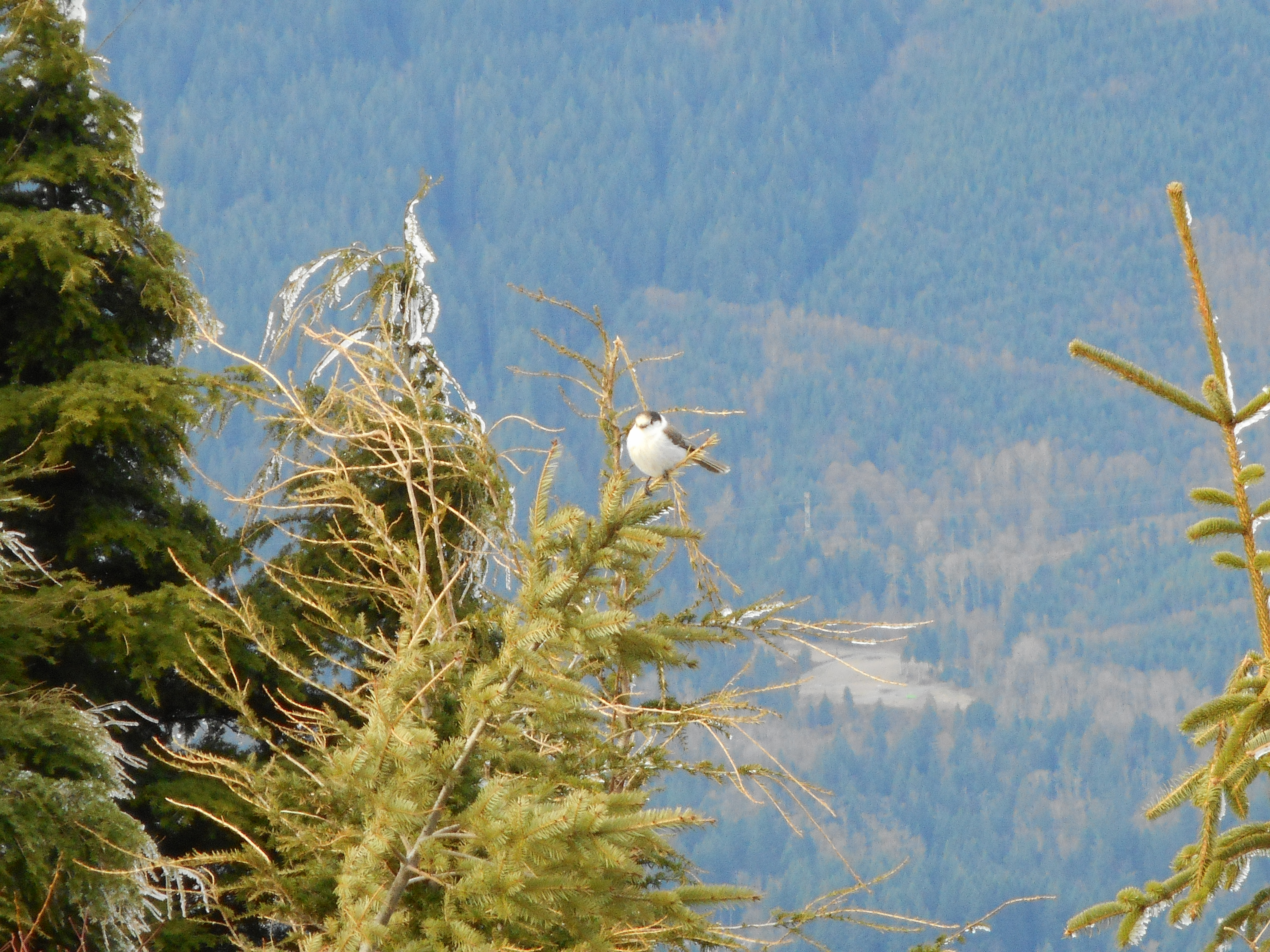
We actually met up with some birds who seemed interested in being fed – Derek put his hand out and one of them swooped, looking for a treat.  Derek snapped some photos but they didn’t show the birds really well.  But we did have some company up there.

Here is a visualization of the hike:

http://adventures.garmin.com/en-US/by/djhiker/rattlesnake-mountain-2-25-2016/#.Vs9rj5Xltow

Rattlesnake Mountain

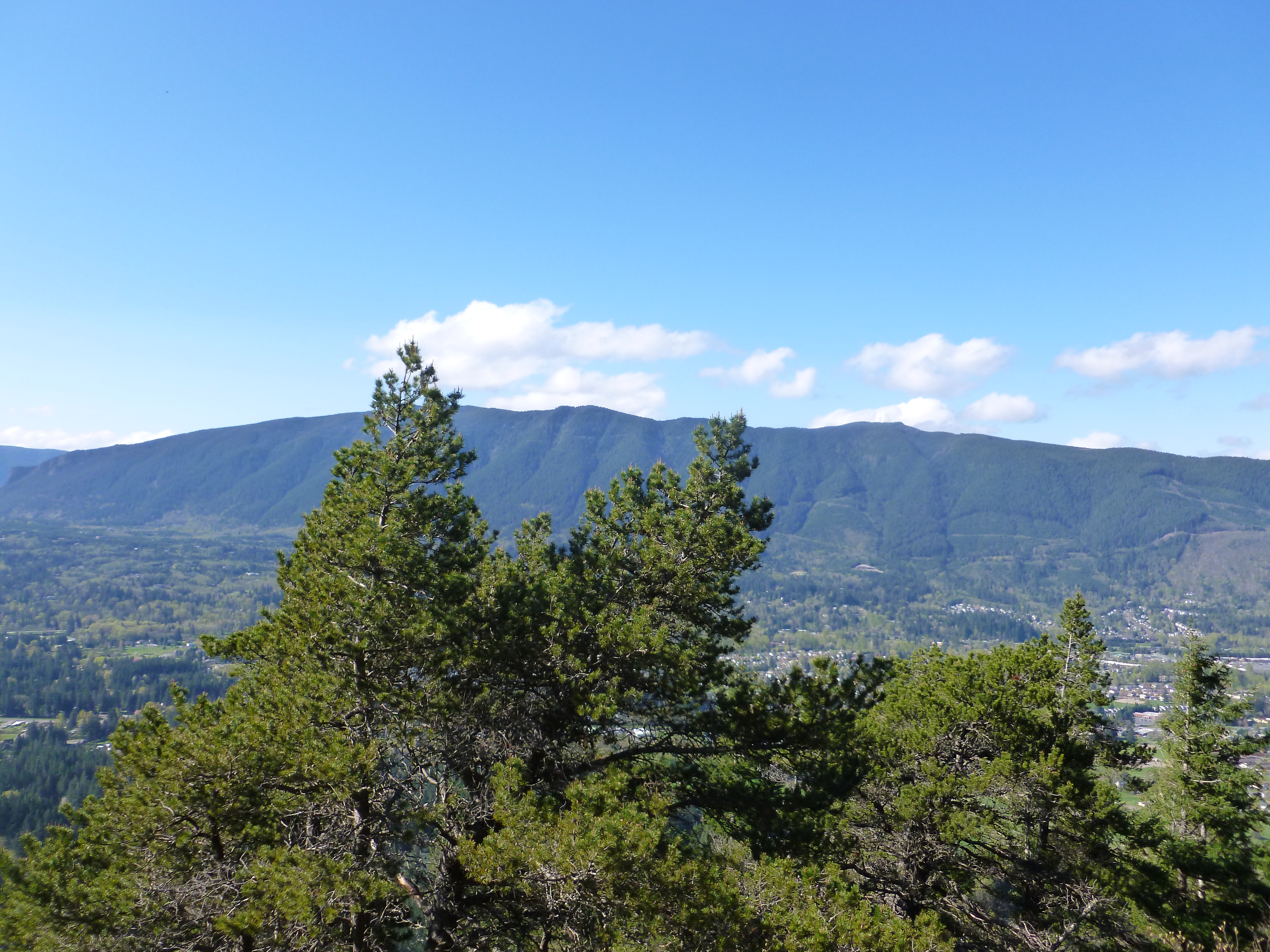
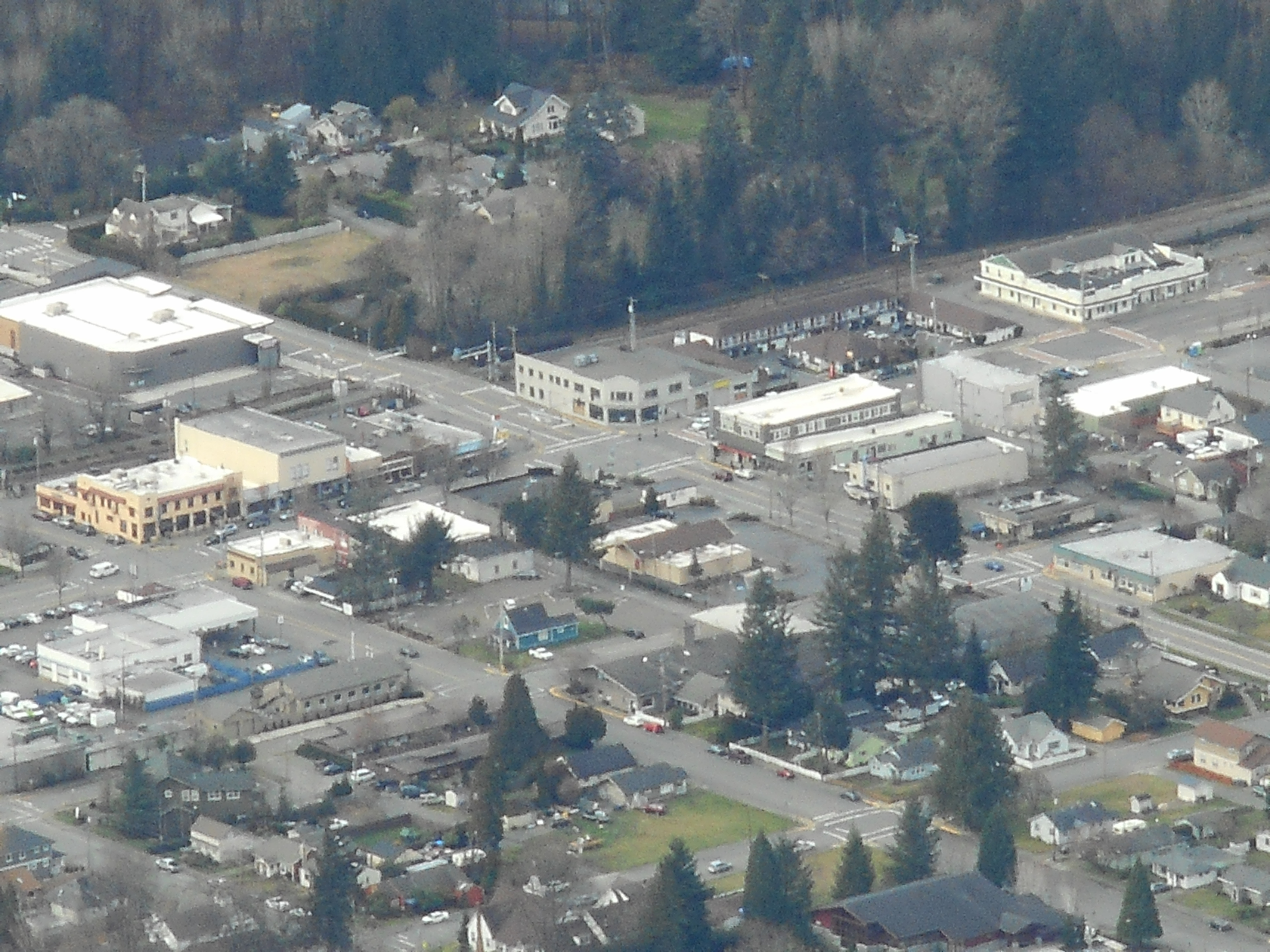
Update: that’s Rattlesnake Mountain, photographed from the north.  When we say we hiked Rattlesnake Mountain, that’s what it is about.

Hall Creek/Iron Horse/McClellan Butte trail/NF9020 2/21/16

Who is shooting this stuff illegally?

I was appalled today at how much junk and crap is being left along the Iron Horse trail and at least one of the NF roads in the area by illegal shootists.  They set up targets, drink copious amounts of canned booze (judging from the garbage) and blast away.

I forgot to take a picture of the ‘No Shooting’ sign.

Anyway, I was solo today and woke up too late to do Rattlesnake/East Peak.  It would have been too crowded.  So I drove a few exits east along I-90 and parked in the Ollalie State Park/South Fork picnic lot and started off going up the Hall Creek tail again, exiting at Iron Horse.

Not far from Hall Creek is a cool waterfall across the freeway.  I think it is inaccessible for all practical purposes:

Waterfall north side of I-90

The topography going east on this trail, by the way, is interesting.  To your immediate left is a sharp dropoff down to the area by the river.  Farther left, that is north, across the freeway, are mountains we love to explore and are champing at the bit to explore more when the snow is mostly gone:

We want to go there
We want to go there

Er, actually that picture above is looking south from the Mine Creek bridge but you get the idea.  This place might be accessible and I am going to look at Google Earth and maps to see how to get there.

It was 4.25 miles from the car to the McClellan Butte trail.  I went about .7 mile up to the old forest service road, NF9020.  The first section of NF9020 was tough to navigate because there were so many blow downs.  It was the only place all day that had much snow.

Here is a snap of the very last NF9020 snowy section:

NF9020
NF9020

9.2 miles, about 3,600 feet of elevation gain (only very short section we would call steep) not a bad day.

Visualization of the hike:

http://adventures.garmin.com/en-US/by/djhiker/hall-creek-iron-horse-mcclellan-nf9020/#.VsonU5Xltow


Golf with David Kimmerly 2/20/2016

View above 9 and 18 Coal Creek greens

The Newcastle Golf Club sits high above Bellevue just east of the I-405 freeway.  There are two courses, Coal Creek and China Creek.  We played China today, starting on the 10th hole (a par 5), the tee just a little east of where I took this picture.

I wanted to do a GPS track walking the course, which I did (see visualization at the end of this post), and I wanted some pictures.  I took this one just before we teed off and then forgot about the camera.

We played the back nine, our front nine, and then the 1st hole, our tenth and we we were standing on the 2nd tee.  For David, who is an excellent, low single-digit golfer, it’s about 220 yards.  For me it was about 175.  I almost always screw up this hole and I am happy to walk off with a bogey 4.  So I took this picture from the tee to show how tough it is:

Par 3 2nd hole at China Creek

The pin is so far away you can’t see it from this view, but it was just to the right of the middle of the first bunker on the left.

And then a bolt from the blue; my 4-hybrid was almost perfect, stopping gimme distance for my only birdie of the day:

My tee shot on 2!
My tee shot on 2!

As my father used to say, ‘even a blind squirrel will root up an acorn every so often.’

I did manage to shoot 40 on the “back” nine, for a 45-40 85, my first round of golf since September.

We are heading to Bandon Dunes in April so I better get cracking.

Hike tomorrow, solo, probably going to do Rattlesnake to East Peak, I need the exercise.  I have been slacking the past few weeks with a nasty cold that seems finally to be leaving me.

Anyway, here is the round of golf at Newcastle/China Creek, starting on 10:

http://adventures.garmin.com/en-US/by/djhiker/golf-at-newcastle-china-creek/#.VskC25Xltow

Cedar Butte with Finley 2/18/2016

Fin on Cedar Butte summit

Fin is a great hiker!  She made it all the way down Iron Horse Trail to Cedar Butte trail head; up to the summit; back down; and half-way back to the car on her own legs.  Great job!

Total hike about 4 miles.  Cedar Butte is not the tallest peak around but it is no slouch, particularly if you are 6 years old.

The view on top is nice:

Looking North
Looking North

We had fun on the way down and stopped to appreciate some awesome little trees:

Very cool mossy trees

Fin had fun and we will do another hike – probably Little Si – as soon as we can get it scheduled. We were able to go out this afternoon because I started work really early (like about 3am) and Fin is off school this week.

Here is the hike:

http://adventures.garmin.com/en-US/by/djhiker/cedar-butte-with-finley-2-18-2016/#.VsZ5Q5Xltow

Boy oh boy am I a lucky Grampy!

Tiger Mountain/Tradition Lake Valentine’s Day 2016

Derek and Fin at the lake

What a fun hike today!  Derek and I had talked about possibly hiking but it was weather-dependent, since Finley wanted to join us on the trail.  The weather today was not perfect but it was only drizzling and not too cold so we did a hike that is not all that far from where Derek and Jill work.

It starts out just a bit steep and Finley made it all the way to the highest point on her own legs.  Great job!

Finley in the lead
Finley in the lead

Although this hike is not exactly remote, it is fun to be in the woods:

Trail view
Trail view

Today was all about fun, including a very cool tree Finley found:

Finley in a tree
Finley in a tree

All in all just a great way to spend Valentine’s Day.

Here is a visualization of the hike:

http://adventures.garmin.com/en-US/by/djhiker/tiger-mountain-with-finley-and-derek-2-14-2016/#.VsDupJXltow


Old Big Si Trail – 2/7/2016

The Haystack
The Haystack

We’ve been up here before, but it is always fun on the top of Mt. Si.  Anyone who has ever driven anywhere near the towns of Snoqualmie or North Bend WA have seen this prominent sight many times, the Haystack on the summit of Mt.  Si.

And this is undoubtedly the most popular hike for miles around.  We saw tons of people on the top and we must have passed upwards of 50 people on the way down.

And we were using the less popular route!

Plenty of birds up there:

Blue Jay near the summit
Another summit bird
Another summit bird

Once you get up there, it is fun climbing around the rocks:

Fun scrambling
Fun scrambling
Grampy on the rocks
Grampy on the rocks

We could see Derek’s dad’s office from up there; it is the bigger building right across the street from the yellow building below:

D Square Energy Systems - where Derek's dad works
D Square Energy Systems – where Derek’s dad works

No shortage of awesome views up there:

It sure is cool on the top of Mt. Si

6.6 miles, 3900 feet of elevation gain, a bit less than 5 hours, (including at least 30 minutes on the summit) so we call it a good day.  We did the reverse Boulder Garden Loop which is mighty steep.  The whole trail is steep; it gains about the same elevation as Mt. Washington but it is 1.25 miles shorter.

Here is a visualization of the hike:

http://adventures.garmin.com/en-US/by/djhiker/mt-si-via-old-big-si-trail-with-reverse-boulder-garden-loop/#.Vre8N5XltD8

We kicked around the possibility of going on a snow shoe hike with Finley next Sunday.  Wouldn’t that be fun!