Great Wall to Little Mountain 6/24/2017

Rainier looking awesome

We were surprised to look at the Garmin when we (finally) got back to the car to learn we had only hiked 12.5 miles. It felt more like 20.

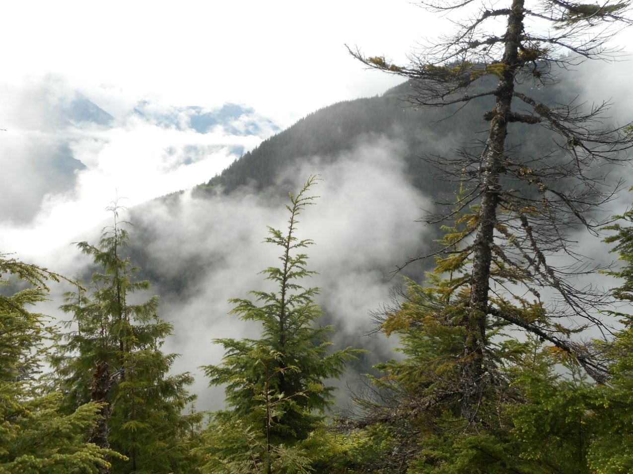
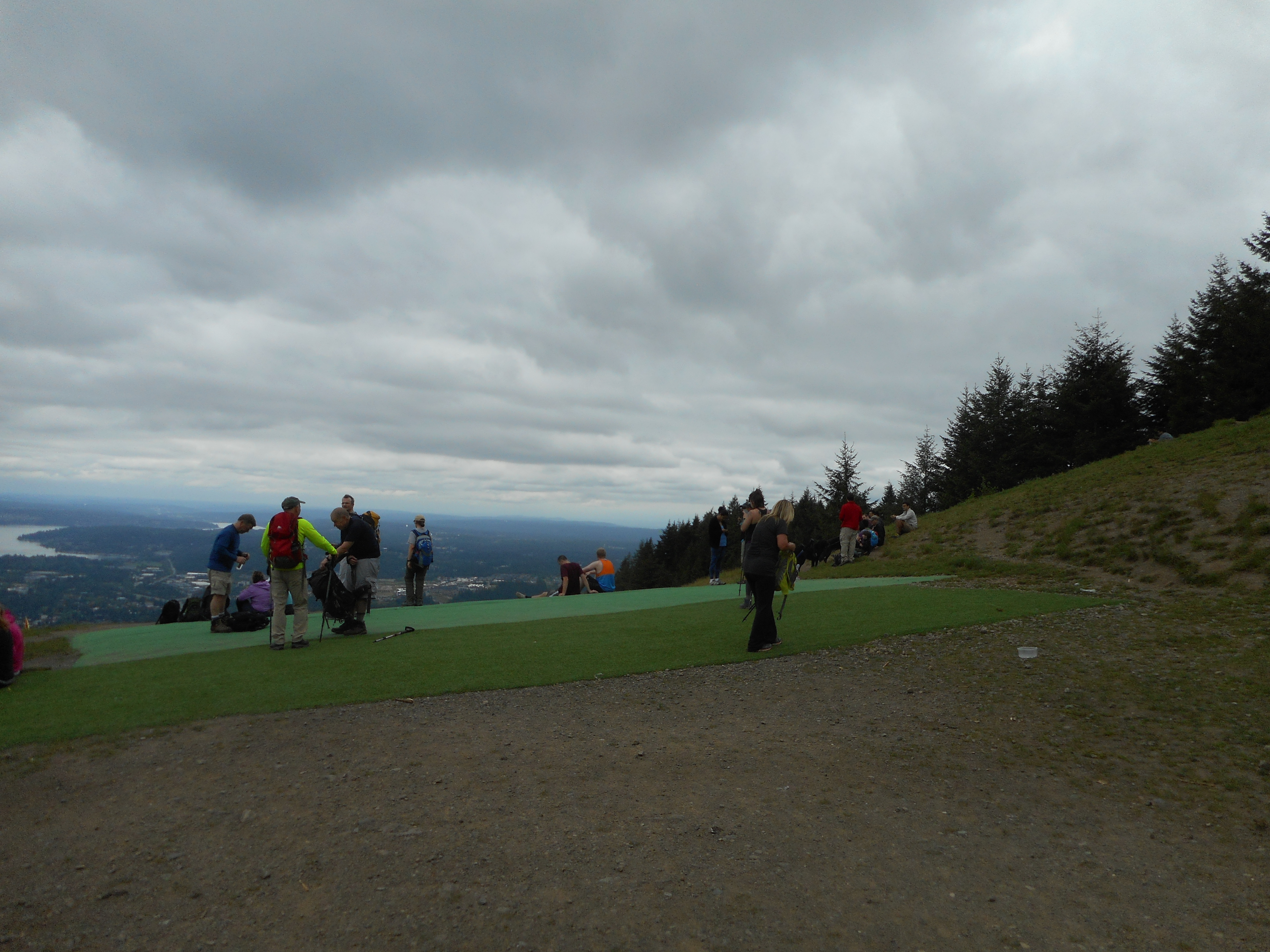
We left the car at 4:20 pm and went up the Mt. Washington main trail. It was definitely hot, pushing 90, and we did encounter a few hikers coming down.

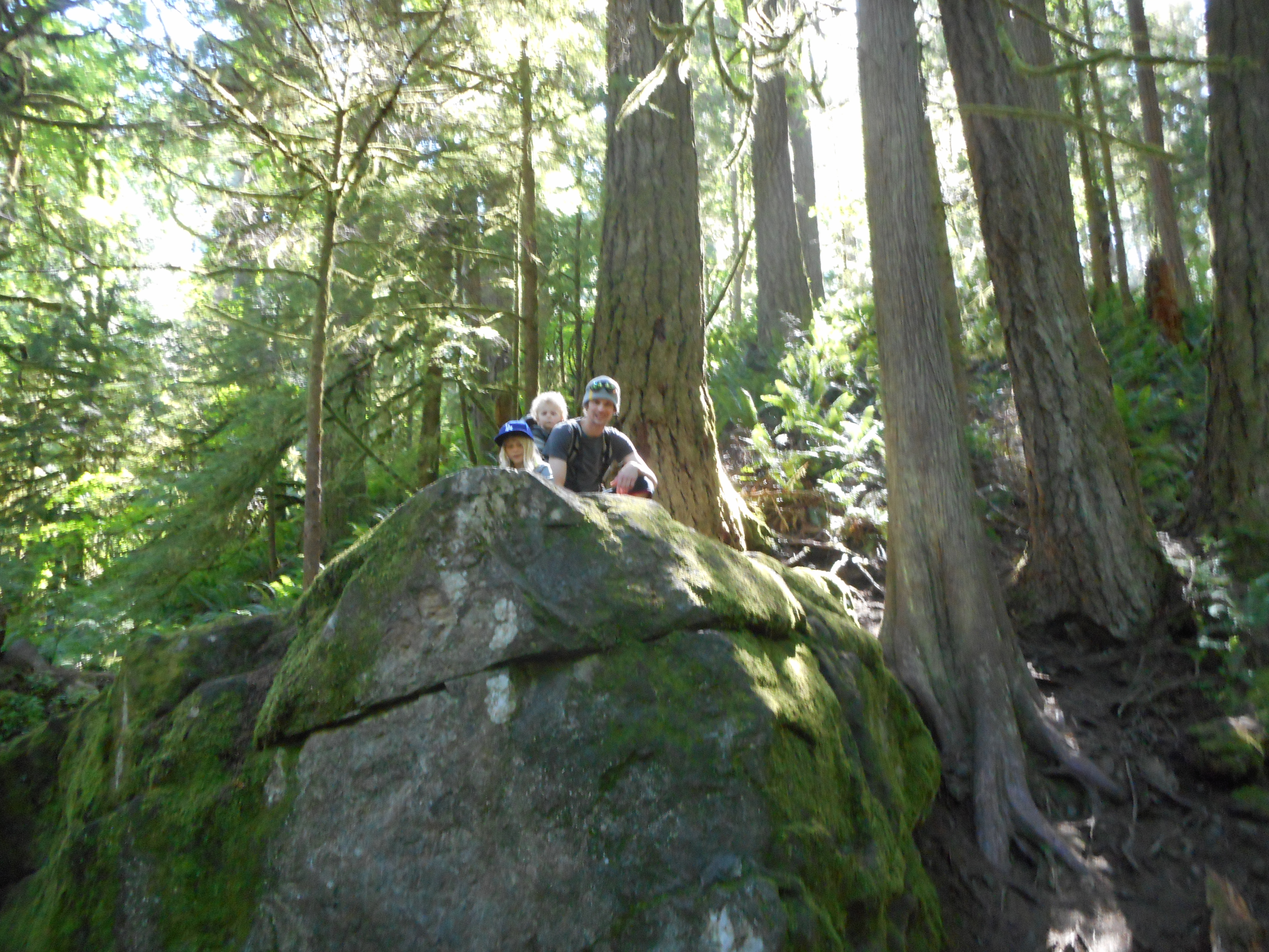
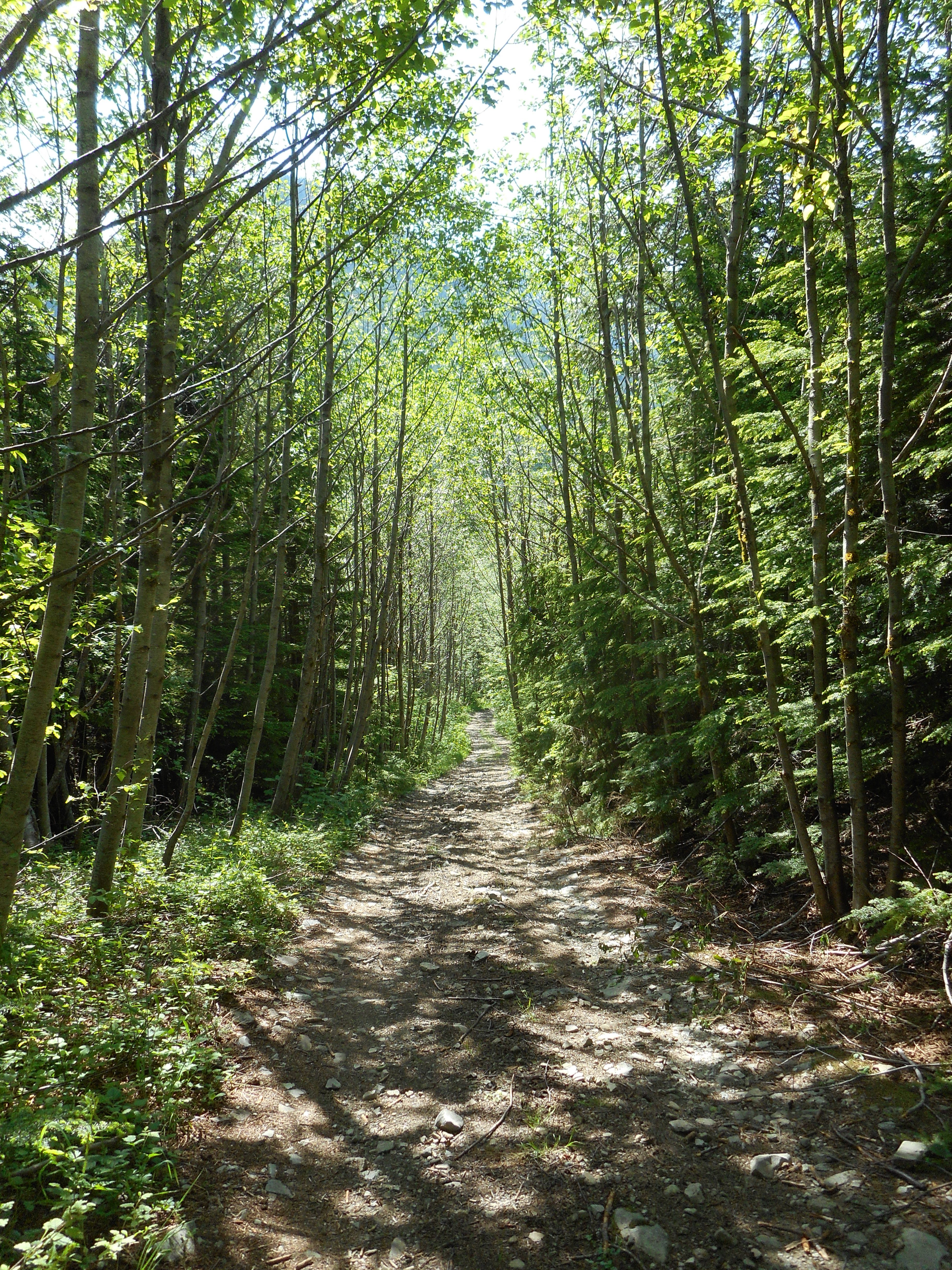
We took a left at the Great Wall and from that point forward saw no one (except, on the IHT just before we got back to the car there was a couple in a hammock strung on the Change Creek Bridge – how romantic!).

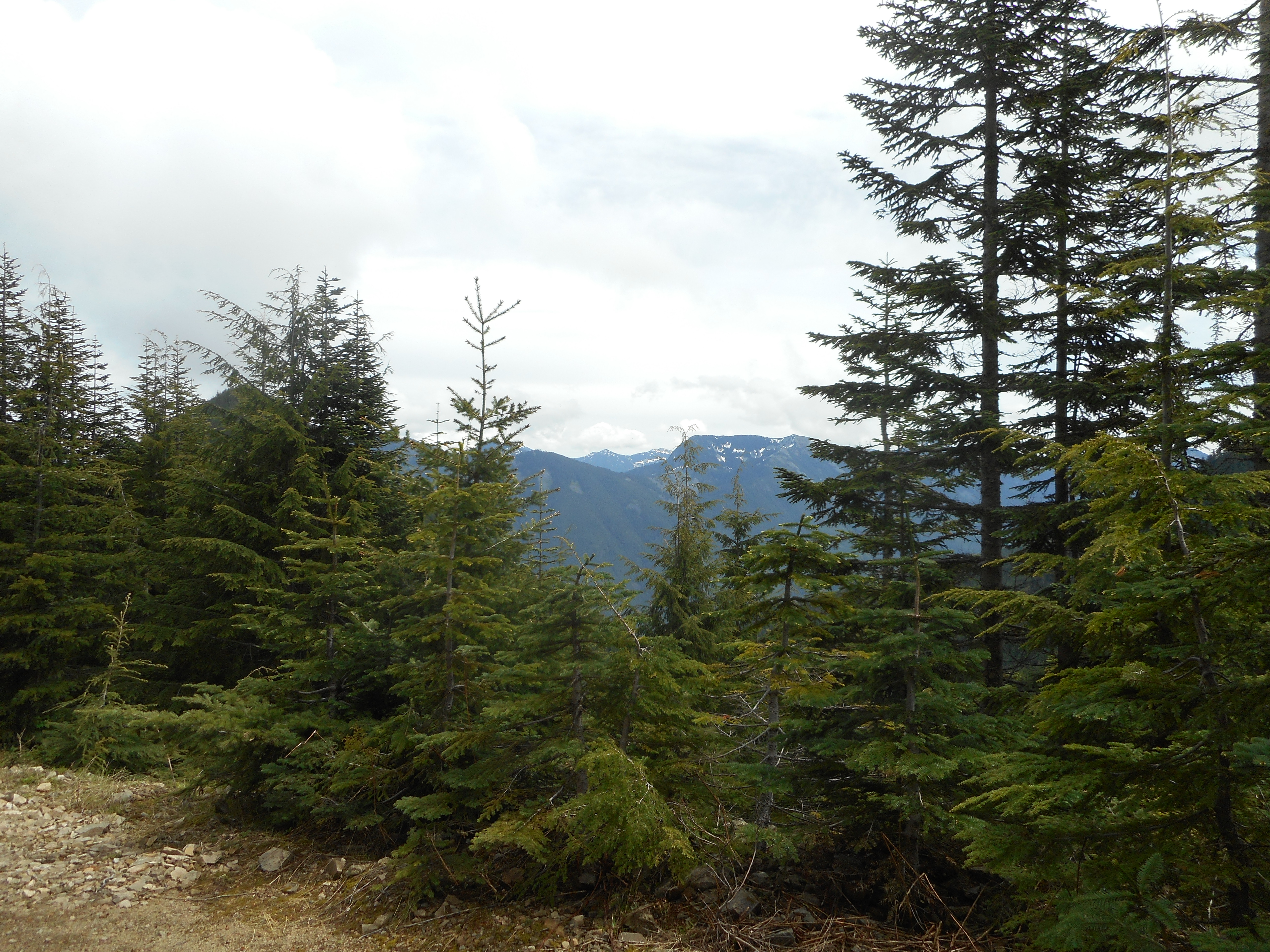
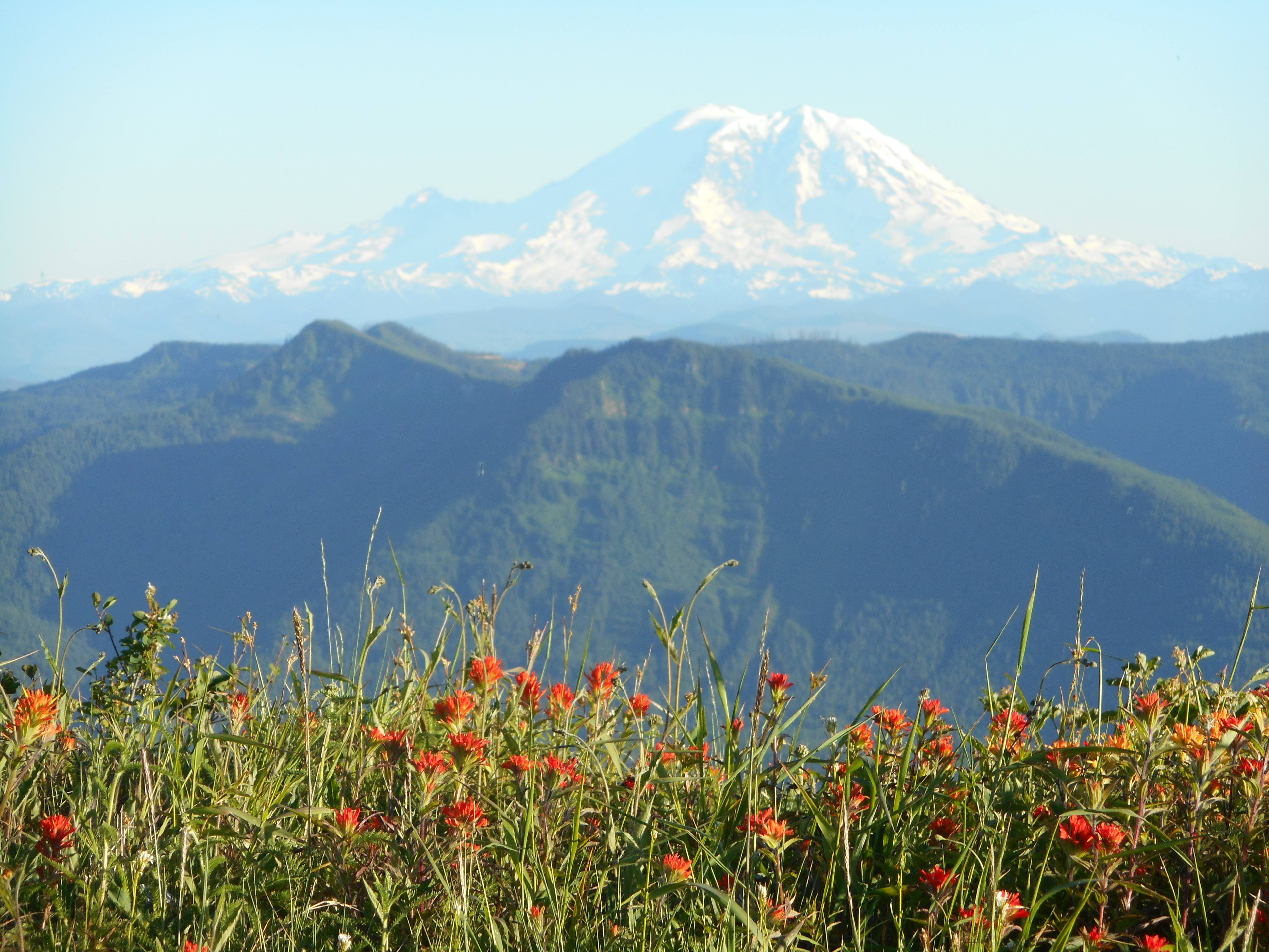
We took the Great Wall to the southern-most service road that is outside the forbidden Watershed boundary and, at the intersection of several old service roads just east of Greenway, we headed left towards the peak that Google Earth tags as Little Mountain and that local lore tags as Chester Mountain.

Whatever you call it, the fact that we were pushing a time limit – we didn’t want to be route-finding in the dark – precluded figuring out how to summit.

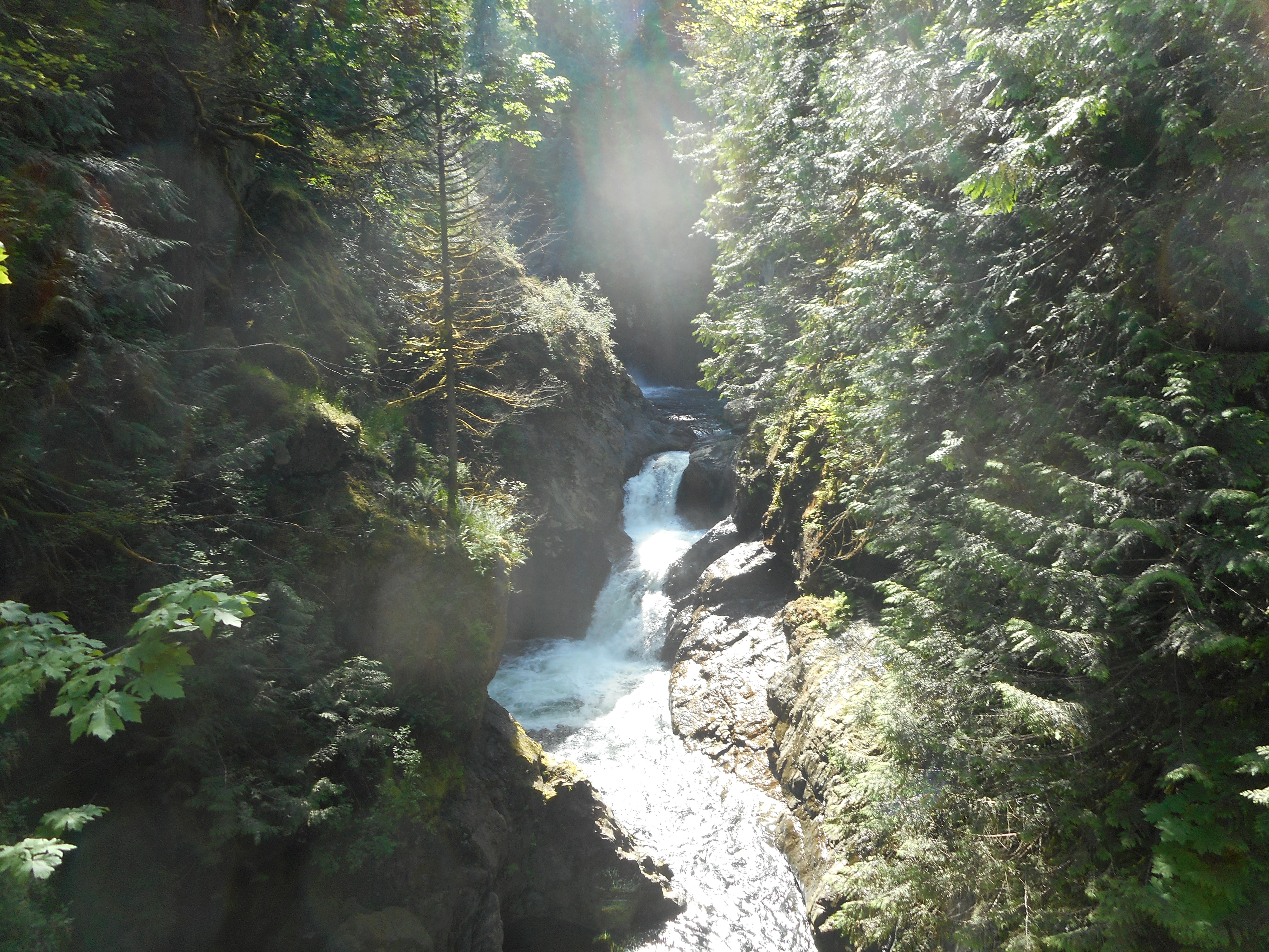
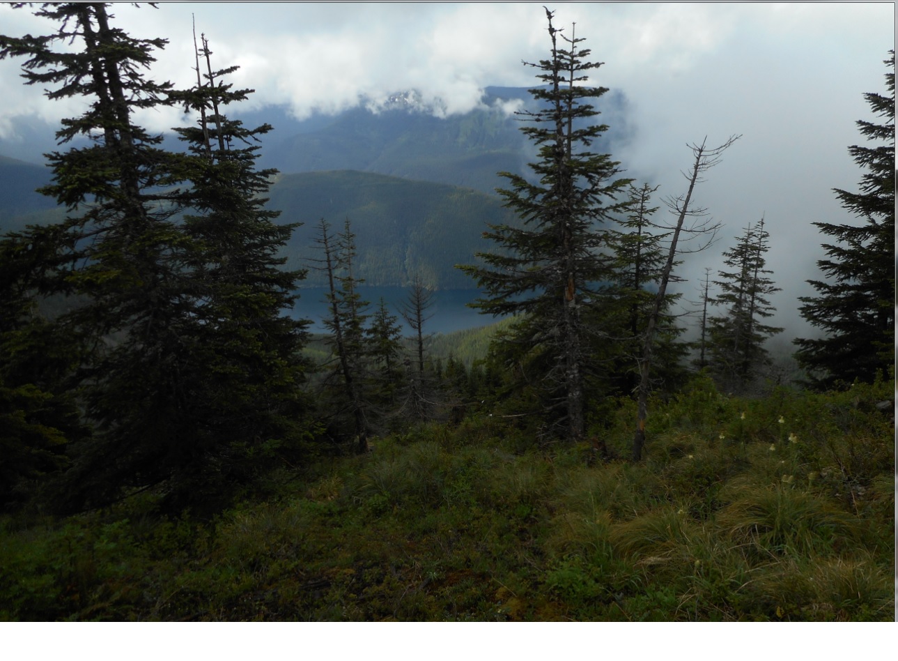
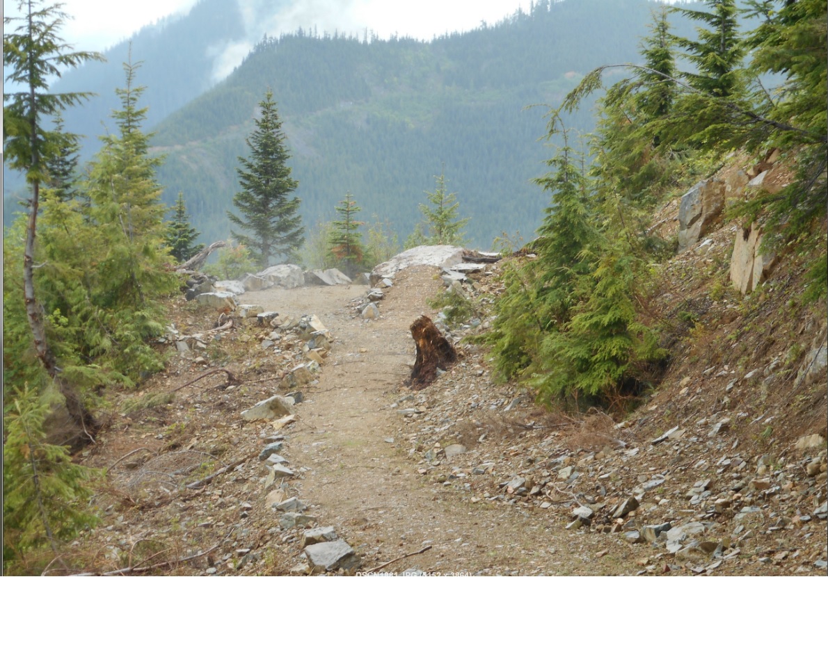
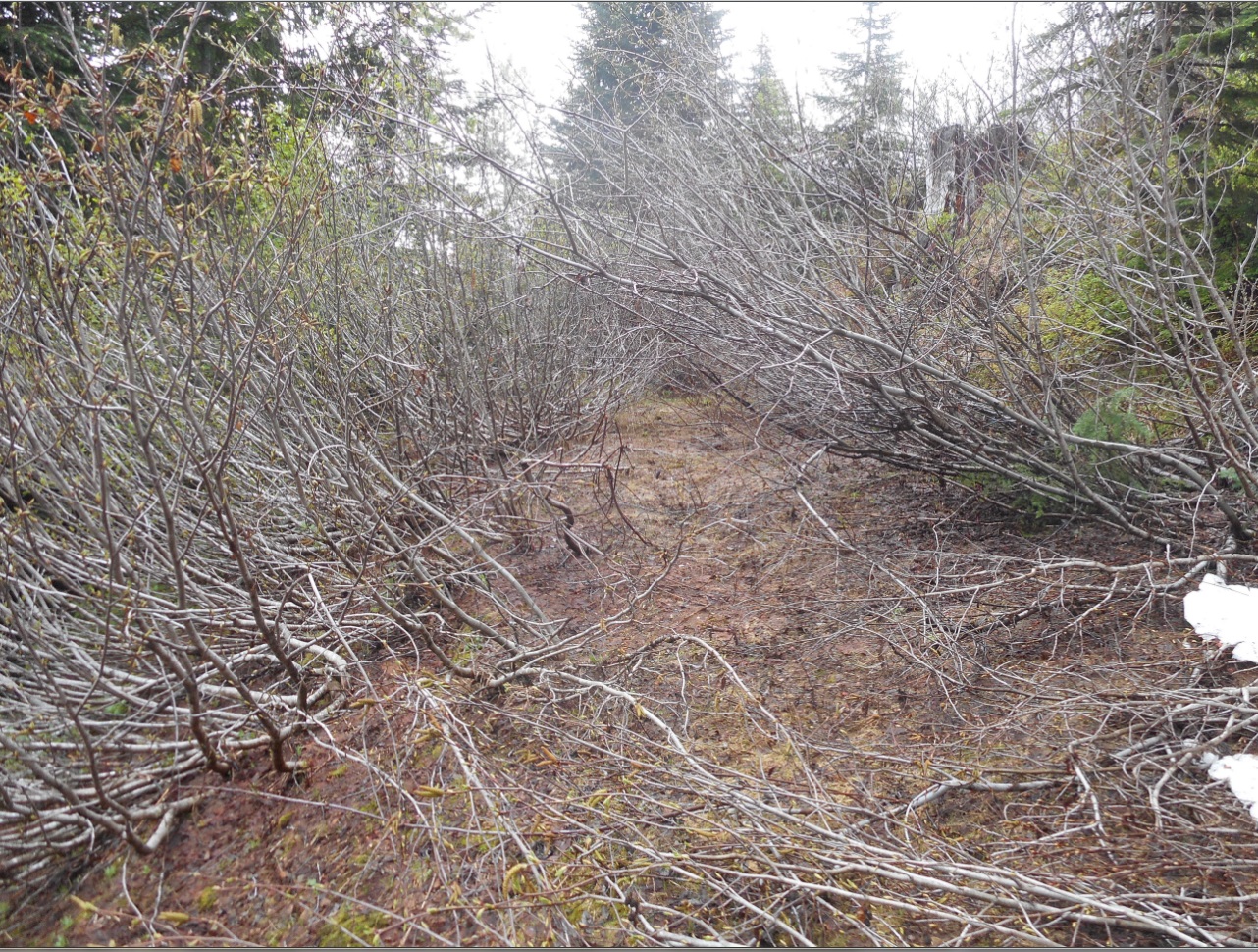
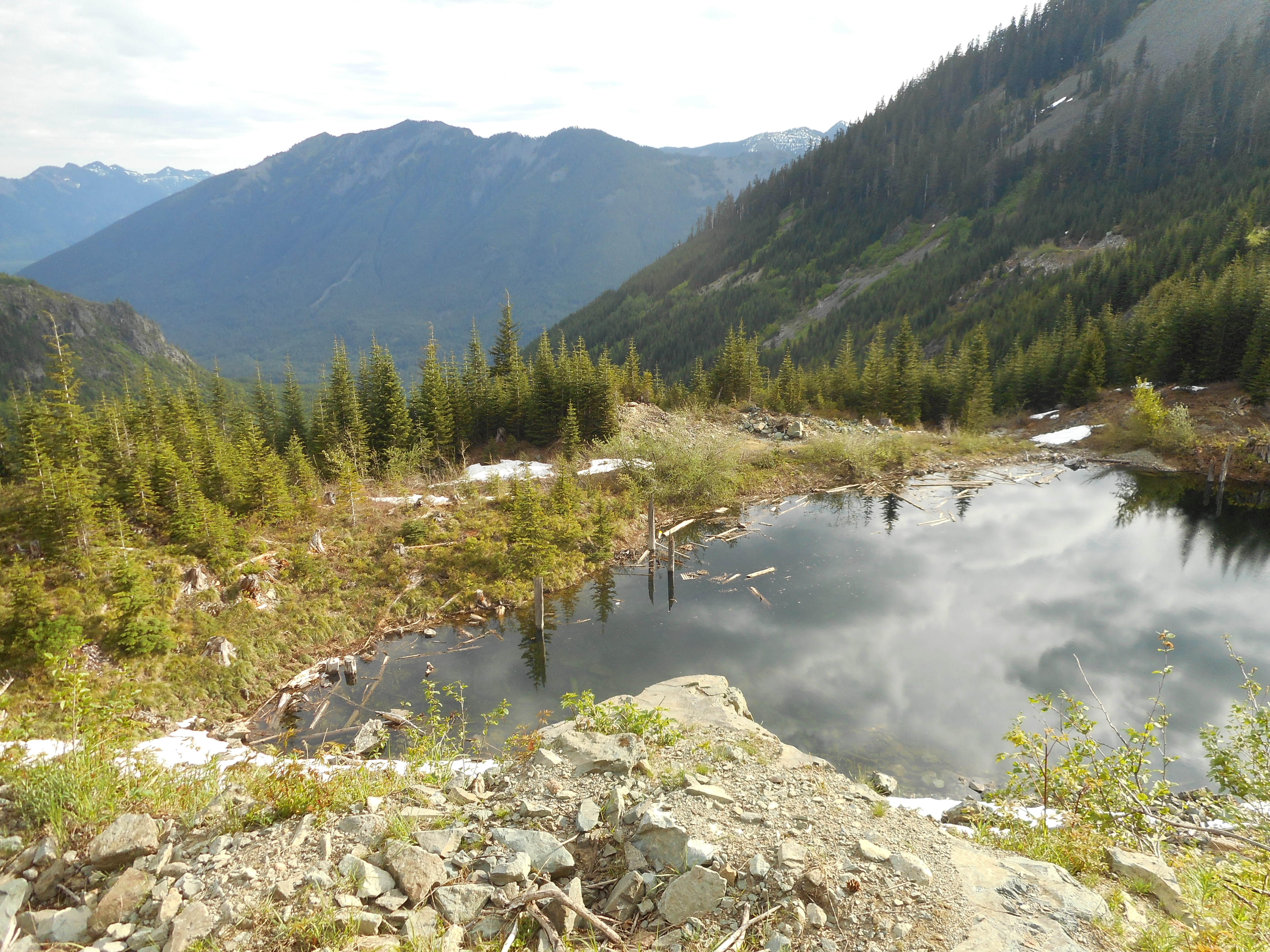
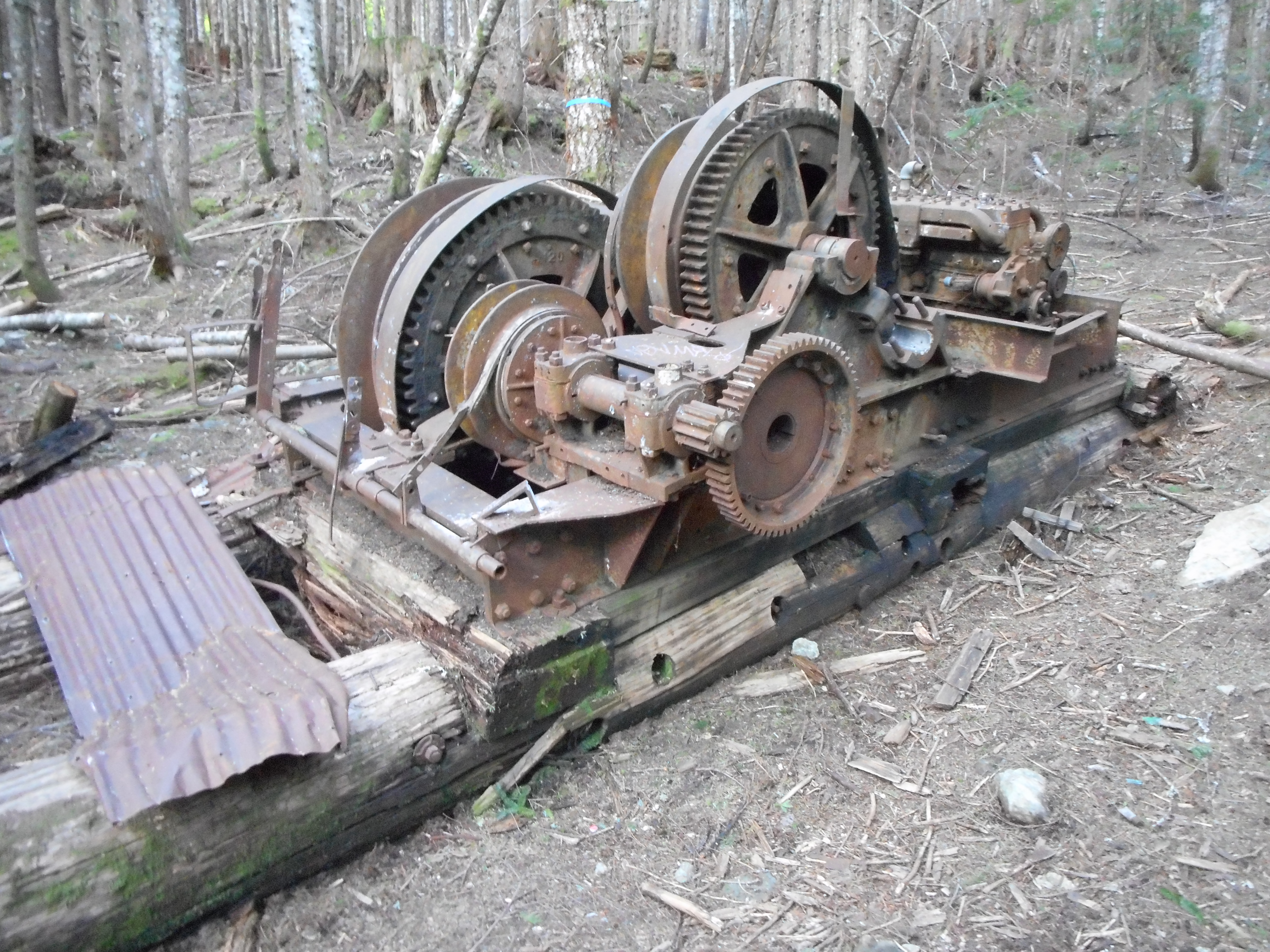
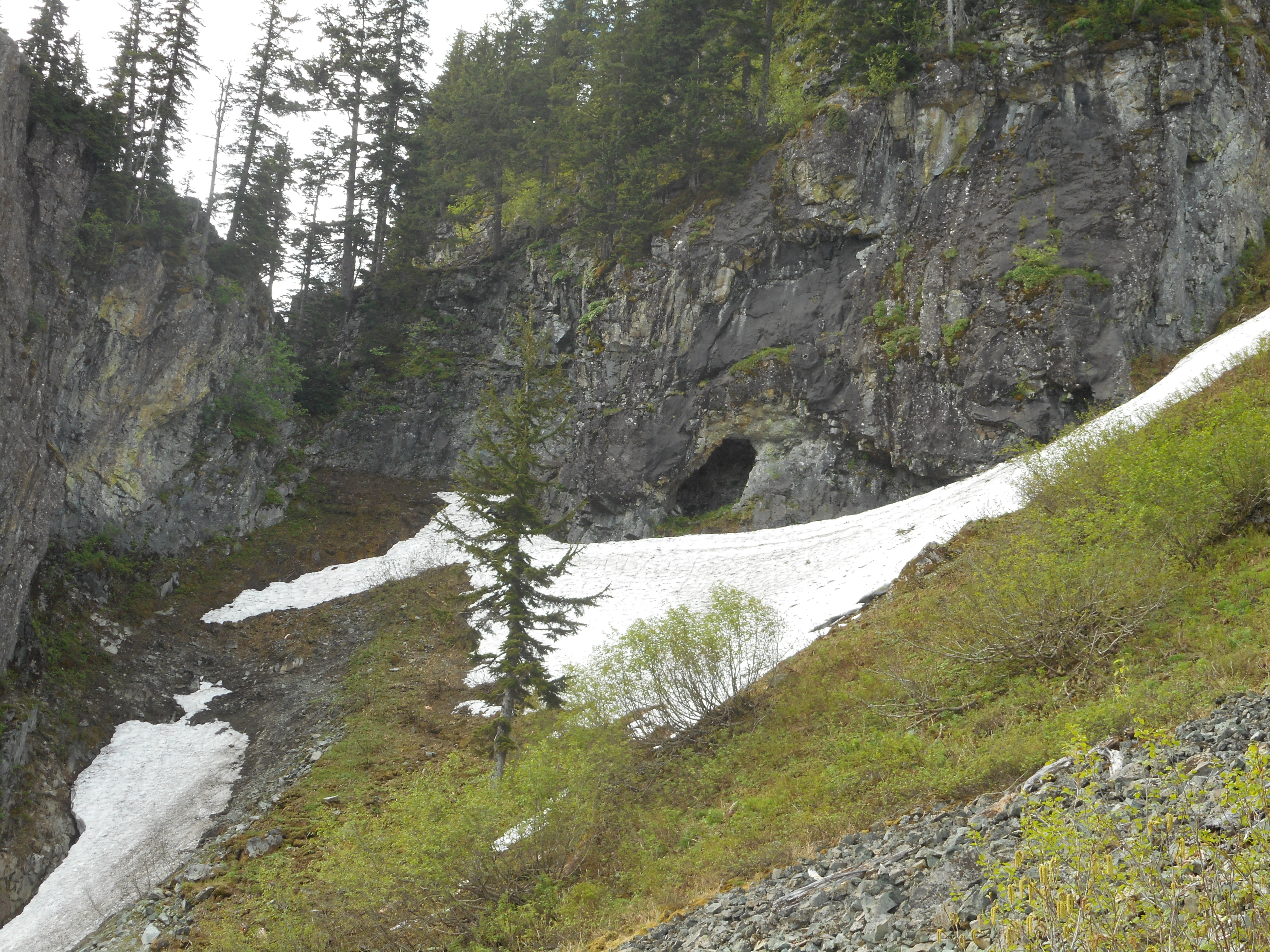
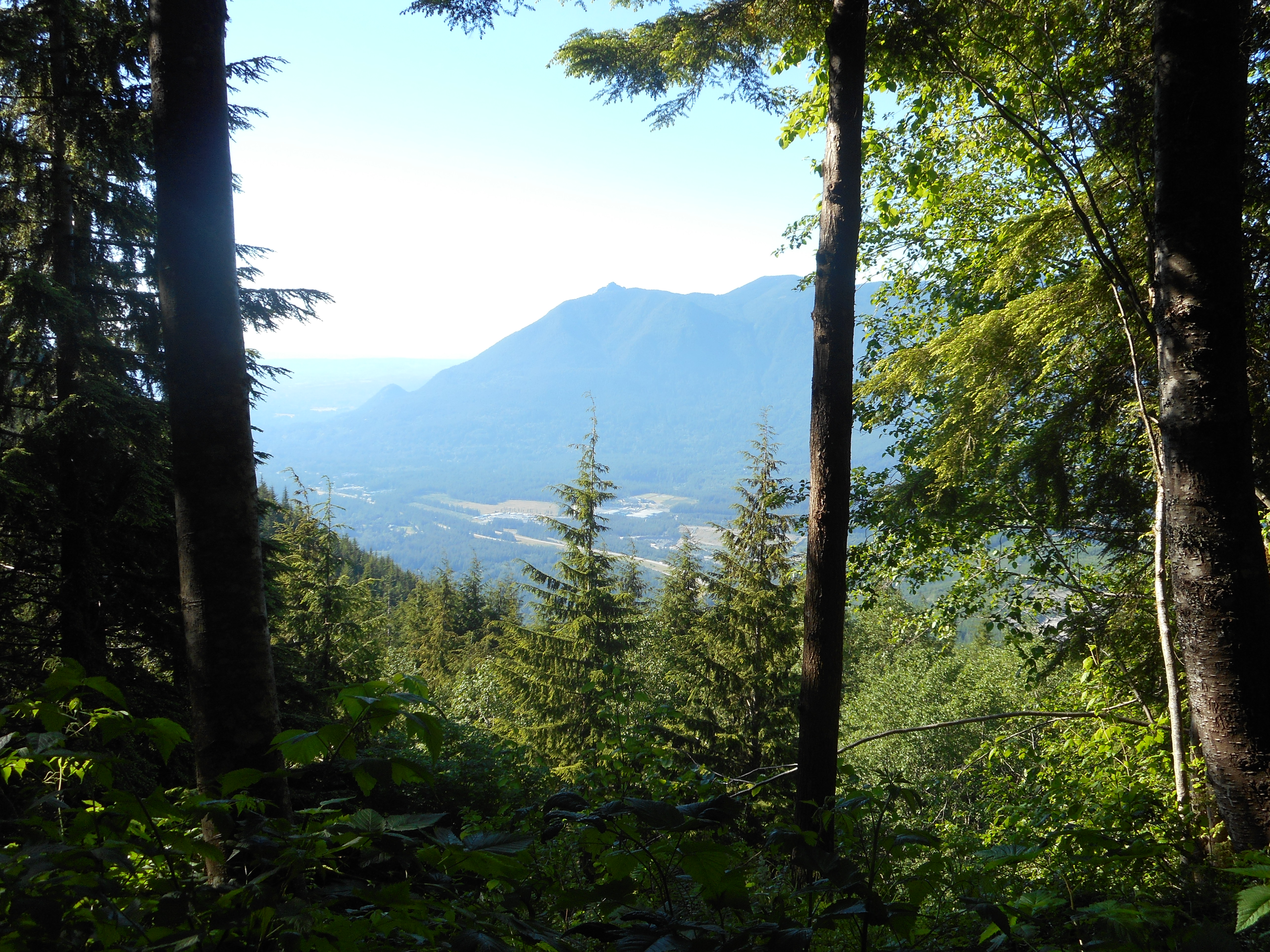
What we did was follow the service road that runs around the perimeter of the Hall Creek gorge, until the service road disappeared and it was very rugged bushwhacking until we finally hit the trail (or mountain goat path) south of Truck Summit.

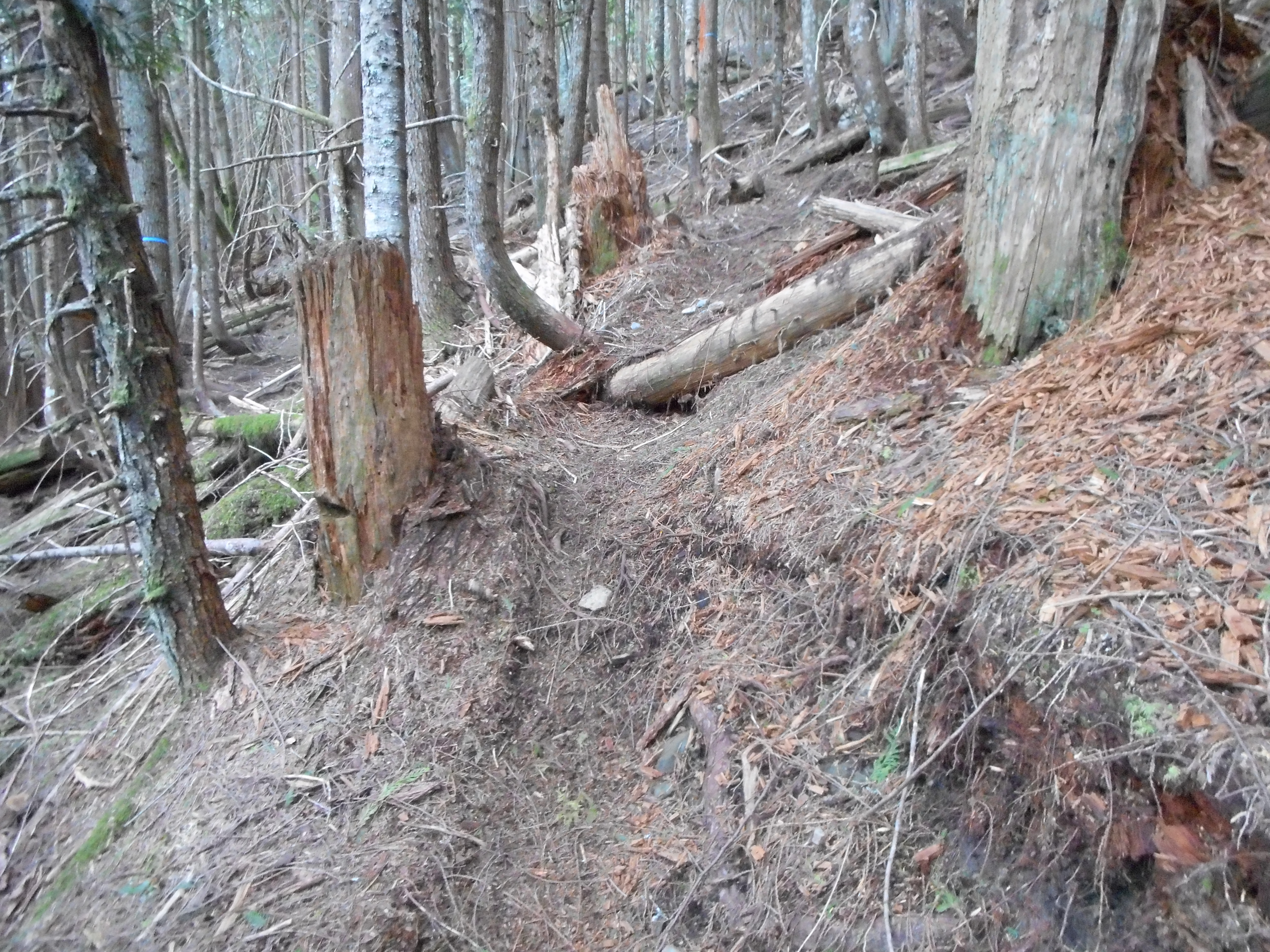
We were pumped to get to Truck Summit, dark as it was getting, since we had a trail to follow the rest of the way. It is fun hiking with the headlamps, that’s for sure.

Mount Si
Mount Si

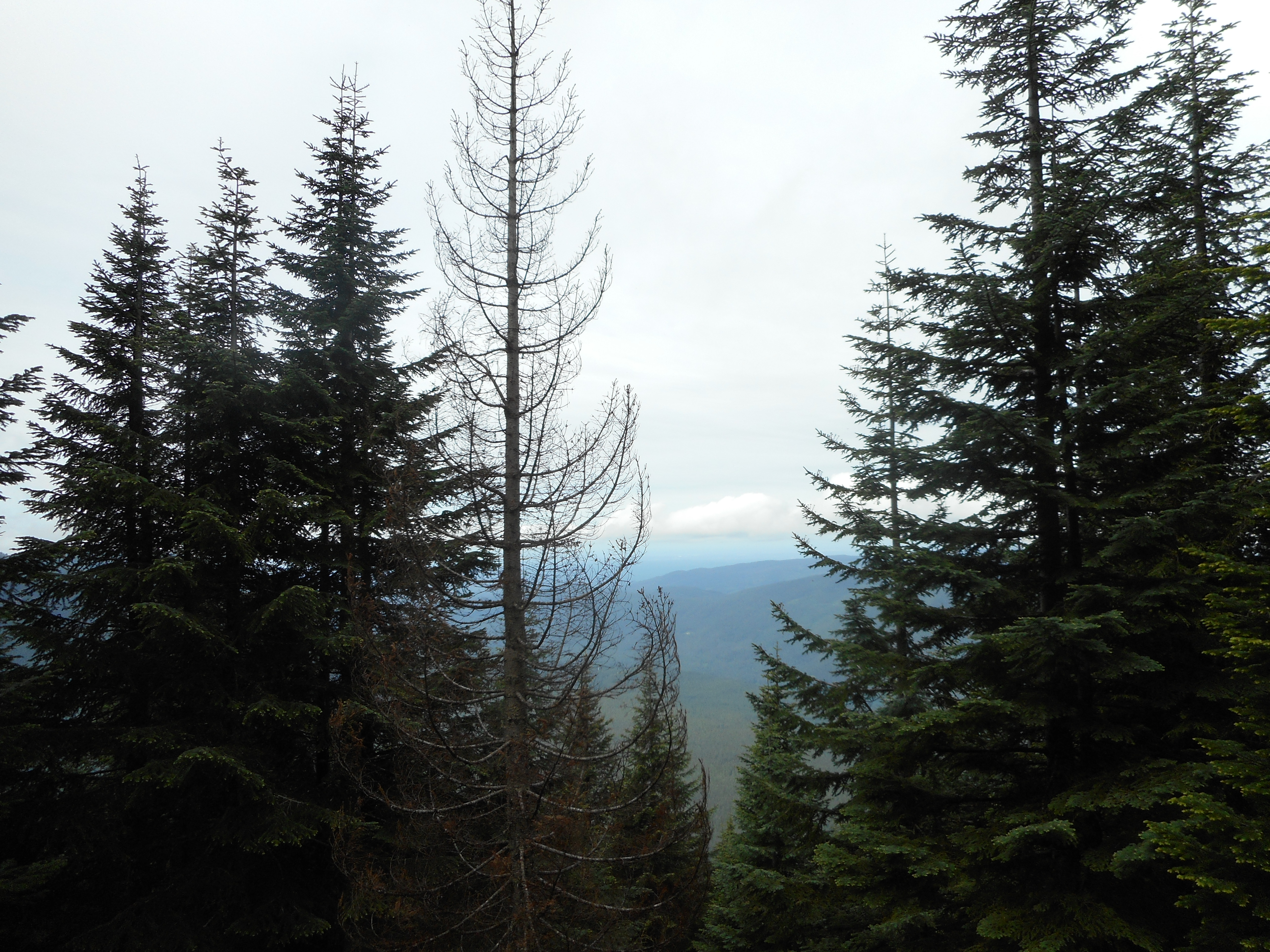
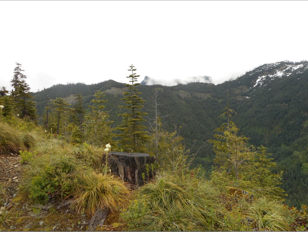
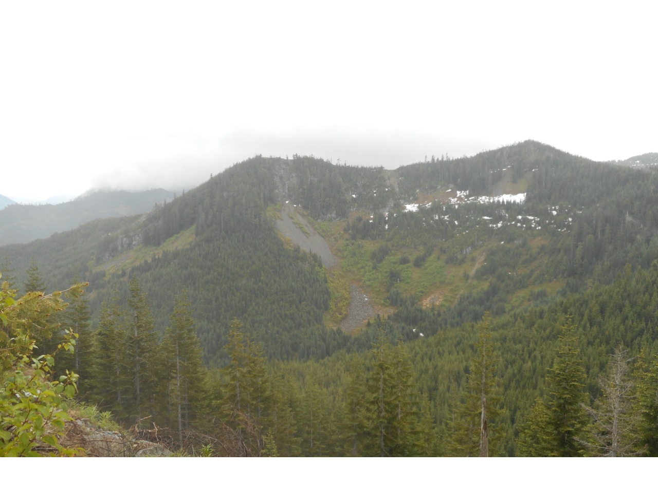
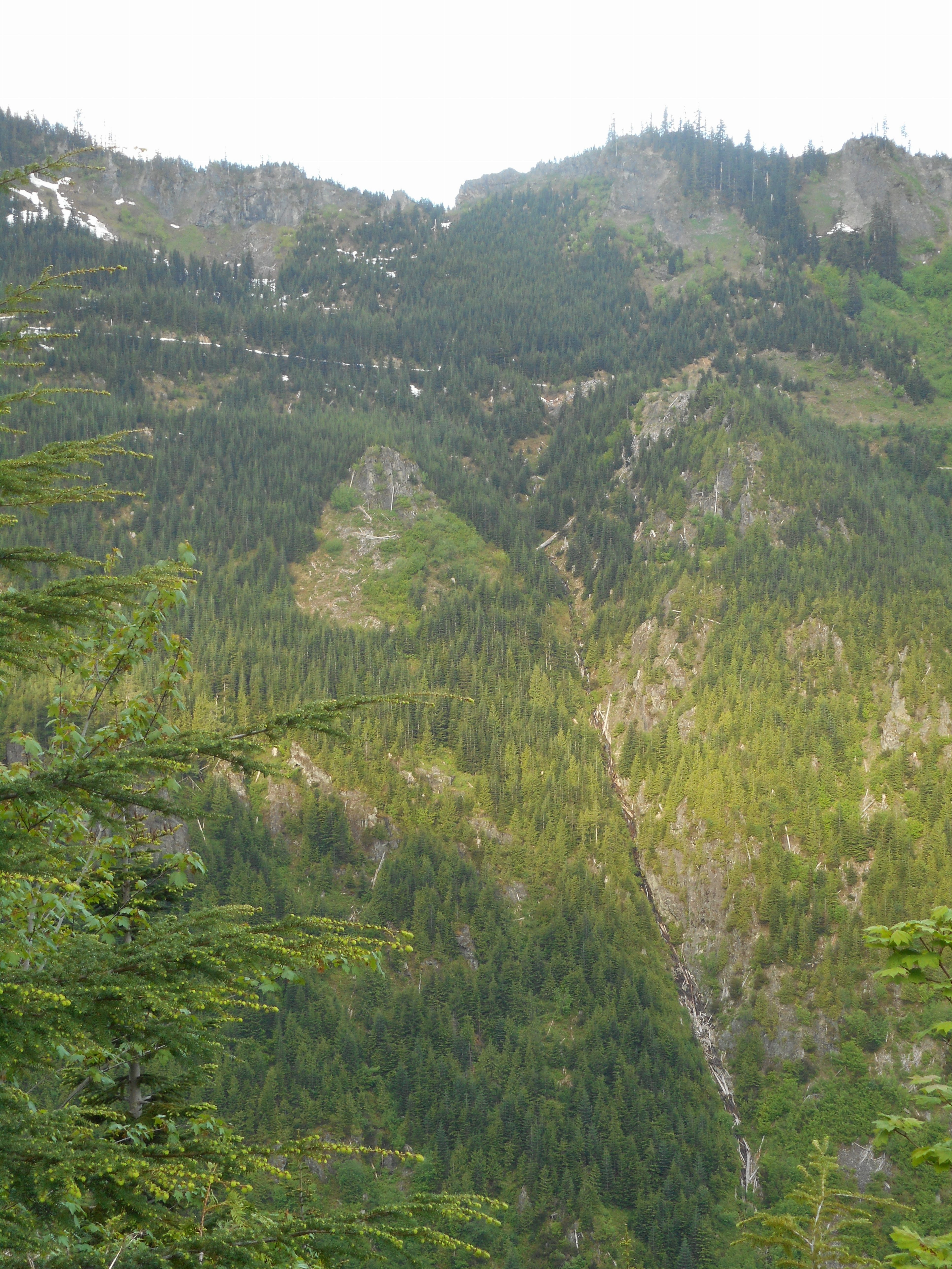
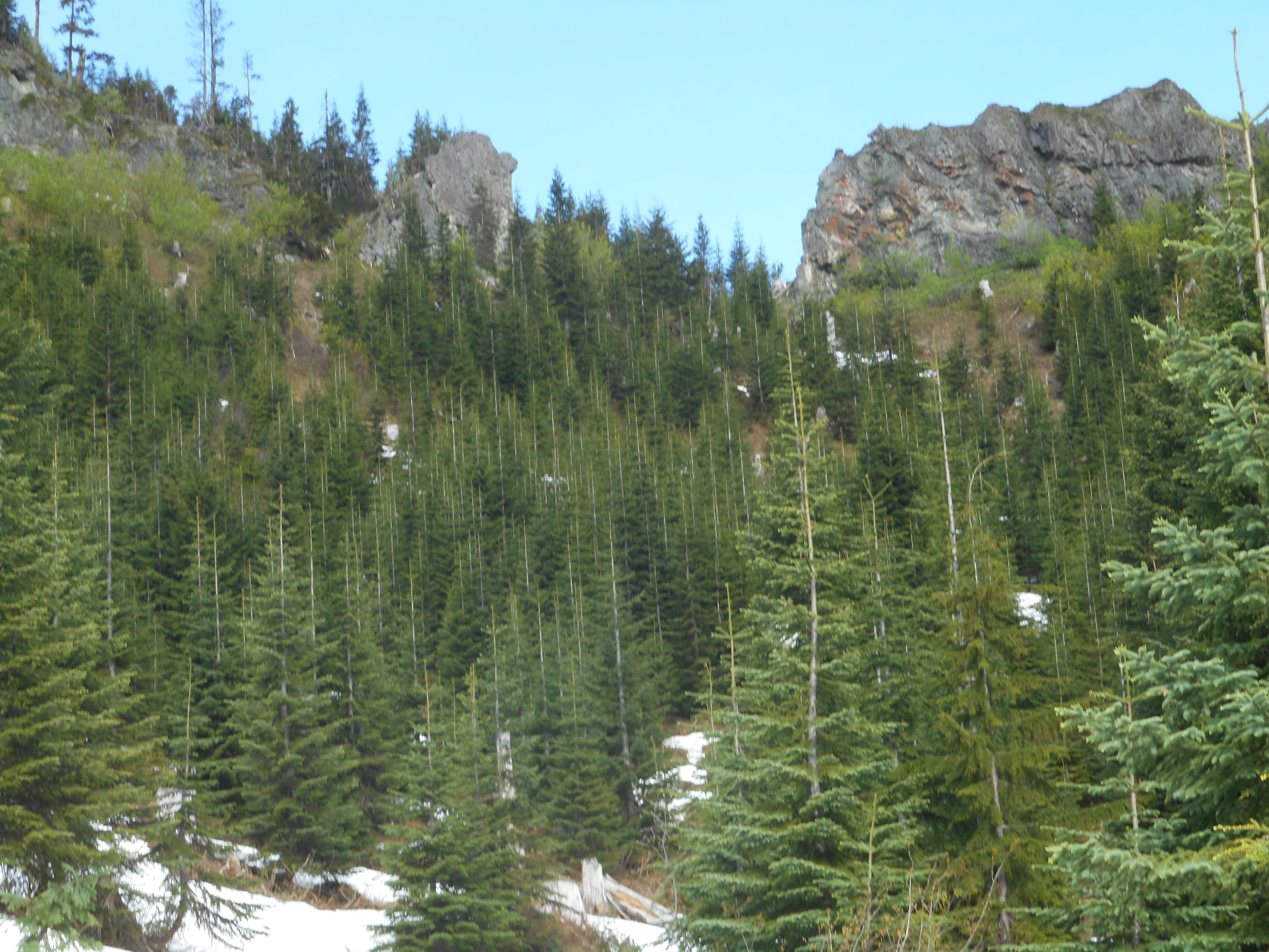
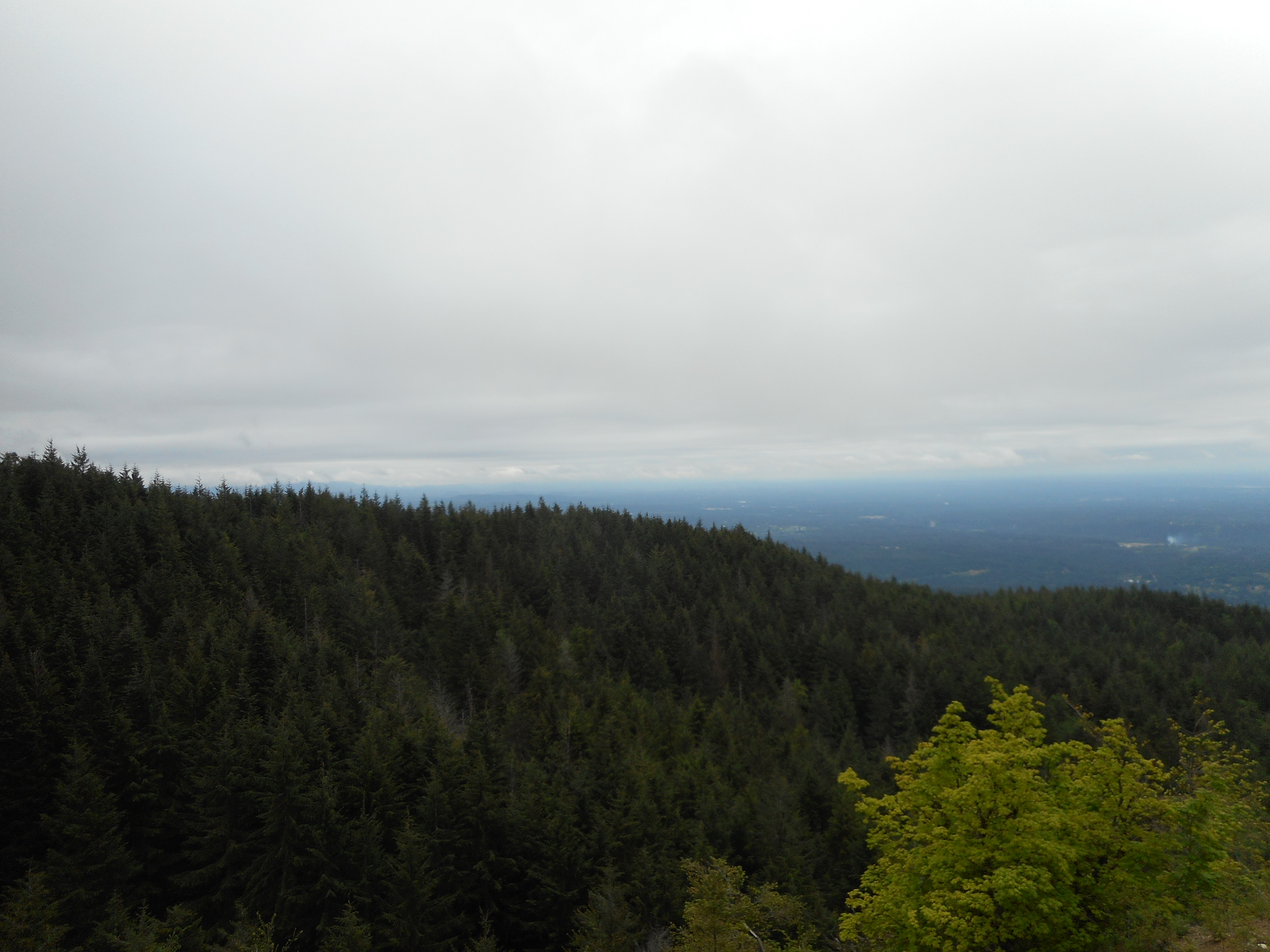
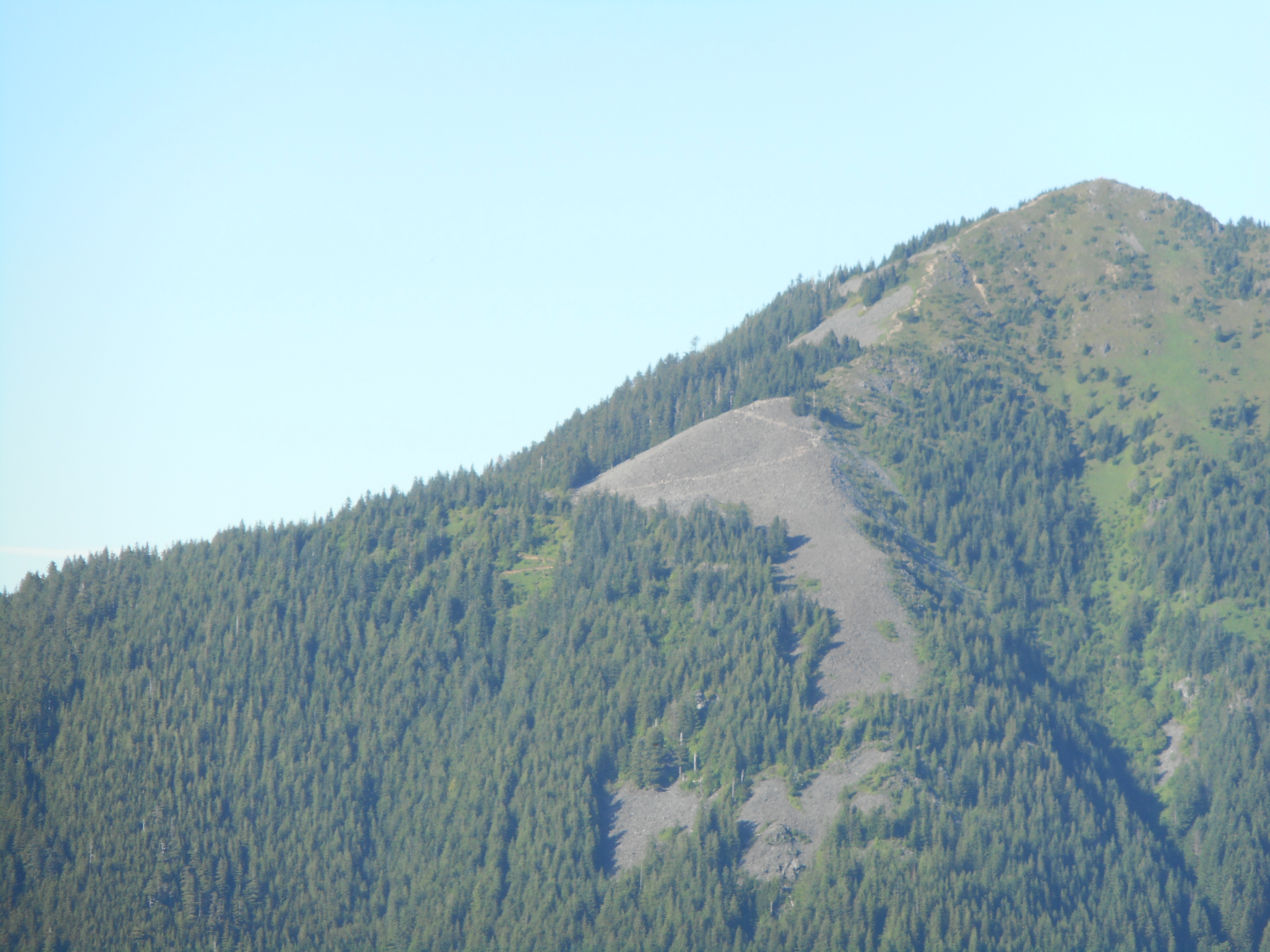
Along the way we noticed a trail heading towards a local summit, something we want to check out when we get a chance:
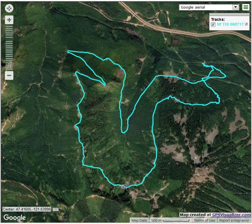
Other Trails
Other Trails

Here is the track:

https://adventures.garmin.com/en-US/by/djhiker/great-wall-to-little-mountain#.WU–y1GQypo

12.5 miles, almost 7 and a half hours, 3,800 feet of elevation gain and morning soreness.

UPDATE: 6/26/2017 – Checking maps I realized the trail we saw is actually Mailbox Peak.  Great view of Mailbox, you can see how steep it is.

Twin Falls with Fin, Cam, and Derek 6/21/2017

Swansons on the rock

I was happy to hike today with Finley, Camden and Derek to Twin Falls – actually we went a bit past the falls – on a beautiful summer day.  I’ll be able to do this any time I want next January when I retire.

The Falls
The Falls

This is definitely a nice family hike.  Finley walked the whole way, no carrying.  Great job!  We did about 4.5 miles, maybe 1K elevation gain (my Garmin misfired again) and had fun on the way.  For example, we met a fairly tame chipmunk who is apparently used to treating humans like gumball machines:

Hungry Chipmunk
Hungry Chipmunk

We did get a few breaks and Fin brought her new mini-drone along.  We played with that for awhile, had some snacks and took our time.  Why not?

Break Time
Break Time

Spending time like this gives the word ‘fun’ a new meaning.

And in the fairly near future I get to hike Little Si on a Friday with Finley and her Girl Scout troop.  I am looking forward to that one!

Mount Washington via Change Creek Trail 6/17/2017

NE View from Great Wall

Carl and I hiked up to Mt. Washington today via the Change Creek Trail.

Carl and Ken and I did Change Creek to J’s Landing a few weeks ago and Carl liked the trail and, having seen the “Mt. WA 6 miles” sign near the start of the trail, he wanted to give it a try. Today, we did.

Our mileage is just under 12 because we halted a bit short of the summit. It wasn’t weather or trail conditions or being worn out. We could see that the summit was a madhouse with dozens of people hanging out and we wanted to sit down and eat our Cliff Bars in peace.

So by common consent we backed down the short and very steep connector trail that runs from the service road that bisects the Great Wall, found a peaceful spot and took a well-earned short break.

As always, the Change Creek Trail is steep and uncrowded (we saw 3 people today along that trail, and on a beautiful summer Saturday when Mt. WA trail was packed) and the Great Wall affords gorgeous eastern views.

We also like the woods along the edge of the Watershed:

Looking South Into the Watershed

Along the Great Wall we saw an unusual carving.  Anyone know what it is?

What is this?
What is this?

6 hours, 11.5 miles, almost 3,400 feet of elevation gain, a wonderful hike today with Carl, who enjoyed his first hike up Change Creek all the way to Mt. Washington.

Our track:

https://adventures.garmin.com/en-US/by/djhiker/change-creek-to-mt-wa-6-17-2017#.WUXq8dyQypo

Three Peak Hike 6/10/2017

Chester Morse Lake
Chester Morse Lake

We did a nice long hike yesterday, 14.5 miles, 4K elevation gain, 10 hours – we were bushed, particularly since so much of the hike involved bushwhacking and route-finding.

We went up Change Creek Trail to beyond J’s Landing, planning to hit Songbird Peak from the north, following a trip report. Derek had the right idea but I led us astray. So we went down and through a nasty stretch of trail that featured closely overgrown wet bushes. I had to take off the shorts I was wearing, hang them on the back of my pack, and put on my rain pants.

Anyway, we went down and then, using our map and GPS devices, figured out a twisting route back up to the 4,000 foot level where we approached Greenway Mountain from the east and went up and across.

Back to the service road (it is the northern boundary in that area of the Watershed, so legal but just barely) and then to Songbird Peak.

Back to the service road and up to Change Peak for our three peak day. We went back via the Change Creek trail and back to the car. Nice hike!

A stretch of the Great Wall is being converted to a mountain bike trail – this is the one that will ultimately stretch from Cedar Butte on the west to McClellan Butte on the east. The trail is nice and we ran across a ramp they put up so the bikers can get some time in the air:

Mountain Bike Trail with Ramp

Plenty of flowers this time of year:

Flowers are blooming
More Flowers
More Flowers

As for bushwhacking, there was plenty of it:

Try Walking Thru a Mile of This

Plenty of views up there:

In The Clouds
In The Clouds
Songbird Peak from the West

Our track:

https://adventures.garmin.com/en-US/by/djhiker/change-and-songbird-peaks-greenway-mountain-6-10-17#.WT09a9y1upo


NF110 to Truck Summit 6/7/2017

Nice tarn west of McClellan Butte

I think we blazed a new trail today, almost certainly a new way to get to Truck Summit.

The typical way to Truck Summit is from the north.  Last September, Derek and I approached it from that direction and explored the ridge that runs south from the truck.  While looking at that track, we noticed that it appeared the abandoned service road designated NF110 on the maps wound around the Mine Creek ravine/canyon and ended abruptly just below where we turned around that day.

So today we parked at the Garcia/IHT intersection and started up NF9021.  Not long after we started Derek noticed a little boot path heading up through the woods so we took it straight up, cutting off a bit of the service road.  We discovered an extreme mountain bike trail – hard to believe people would barrel down the side of the mountain like that, but we saw the bike tracks.  It is nothing I would try:

Bike trail, believe it or not

The trail goes OVER that log, and others even bigger.

On the way up NF110 we came across an old piece of logging gear:

Old logging gear
Old logging gear

We kept trudging up the old service road, coming across several spots where gunnuts shoot at clay pigeons and various other targets, and we kept going up and around the ravine.

We looked across the ravine to try to find some way to get up to the ridge on the other side.  It did not look promising:

Our target from across the canyon

Although we did not know it at the time, our target spot to bushwhack up the side of the ridge was in the notch in the middle of the picture above.

As we got closer we took a compass bearing on the spot, and focused on a large dead tree for reckoning.  Then we just went straight up the side of the ridge, doing our best to keep making progress towards our immediate goal:

Closing in
Closing in

The photo above shows our target at the point where we went up the ridge.

So, we made it to the Truck and went down the service road, which in today’s nice weather, was very nice:

Nice day on NF9021 going down

Up much higher Derek noticed an interesting looking cave, that might be worth exploring some day:

Very cool cave
Very cool cave

The Garmin Adventure server seems to be down so I cannot upload the track as usual.  Will get it in when the server is working.

In the meantime, here is the Google/GPS Visualizer look at our route:

Google aerial of our hike via gpsvisualizer

Our path was right-to-left (east to west, generally).  Towards the beginning you can see how we cut off some of the service road by bushwhacking on the way up.  We took the road on the way down because the old guy’s knees were talking.

About 9.2 miles, 6.5 hours, about 3K elevation gain.  And who has ever done this route before?

Update 6/9 – Garmin server back online, here is the track:

https://adventures.garmin.com/en-US/by/djhiker/nf110-west-to-truck-summit#.WTtEBty1upp

West Tiger #1 to Poo Poo Point 6/3/2017

View from W Tiger 1
View from West Tiger 1

Nice hike today with Carl, Mark, Mike (who has about 3 weeks until he retires!) and Ken.  We started at the Exit 20 High Point Trail and, after hitting numerous trails for various section lengths, went down the Poo Poo Point/Chirico Trail where Ken’s car was waiting.  He drove us back to our cars at High Point, and then we convened for coffee at a local Starbucks.

Tiger Mountain always provides a nice workout but most of the time you are in the forest which, of course, has its own charms.

Our high point was the Hiker’s Hut on Tiger 1:

Hiker's Hut on W Tiger 1
Hiker’s Hut on W Tiger 1

Poo Poo Point was busy.   We must have passed more than a hundred hikers on the way up.

Busy Poo Poo Point
Busy Poo Poo Point

The parking lot was a madhouse but we finally made it out.

8.2 miles, almost 3K elevation gain, just over 4 hours, a nice day and better by far than sitting on the couch.

The track:

https://adventures.garmin.com/en-US/by/djhiker/tiger-1-to-poo-poo-point#.WTMgudy1upo