Tolt Pipeline Trail 11/29/2021

Norway Hill

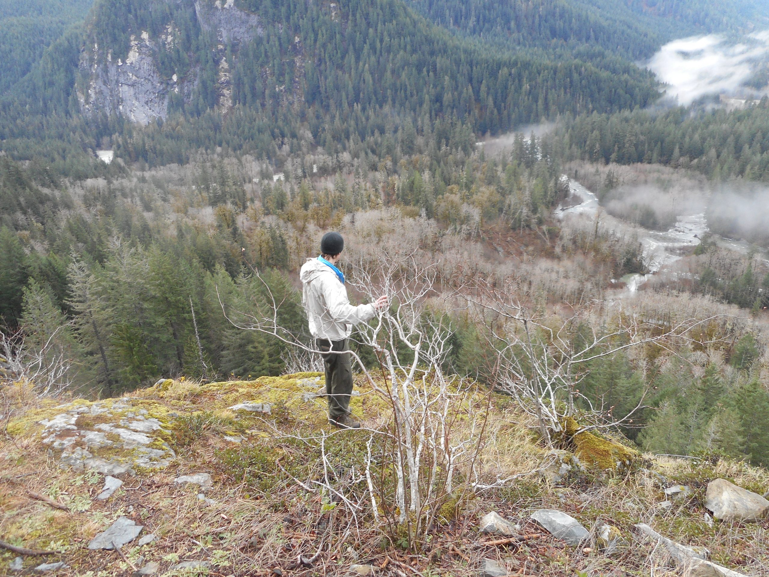
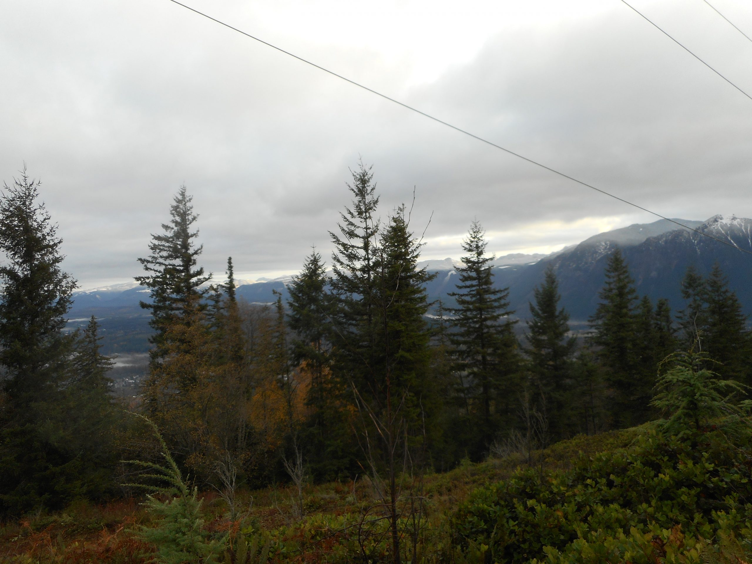
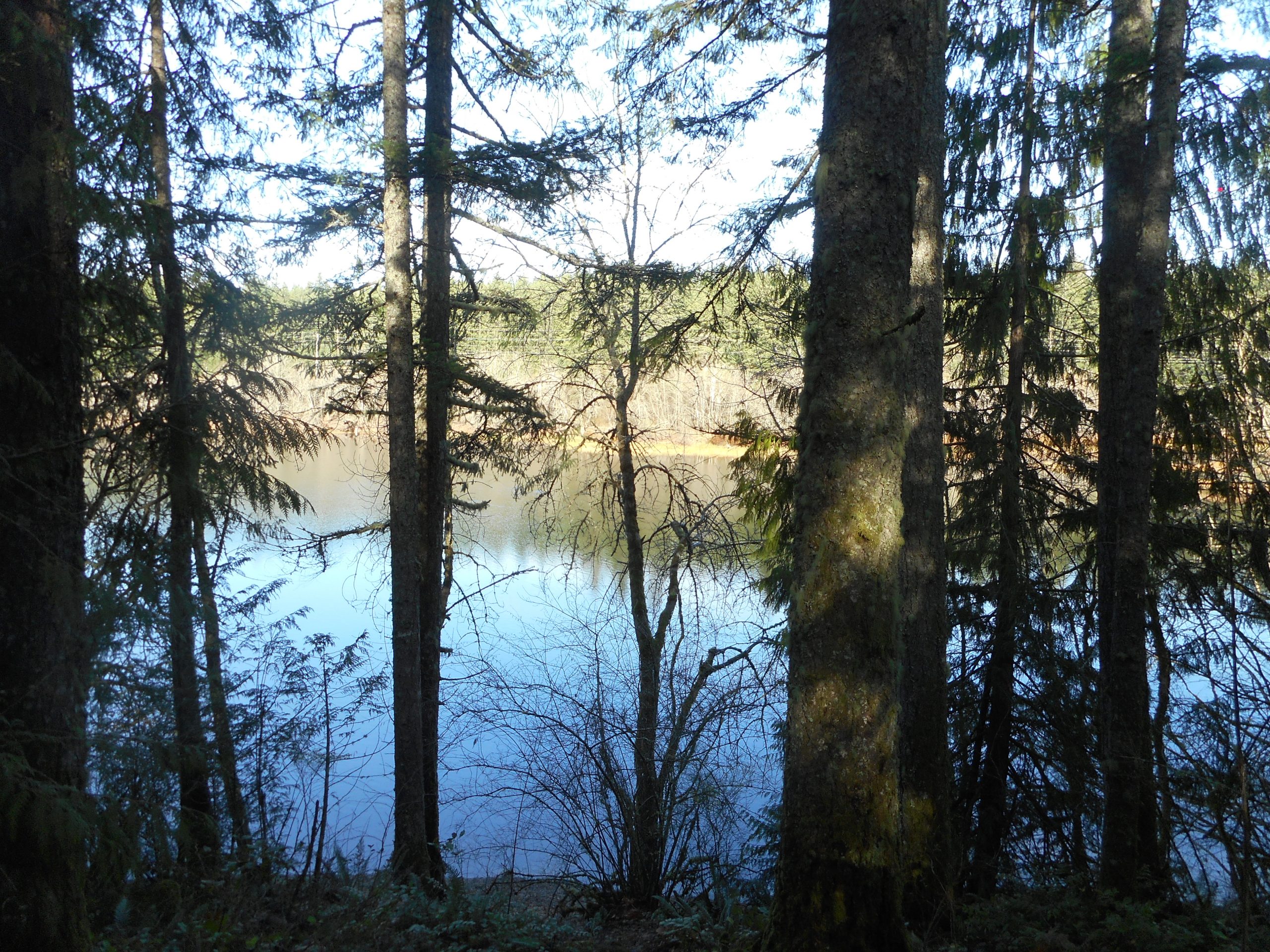
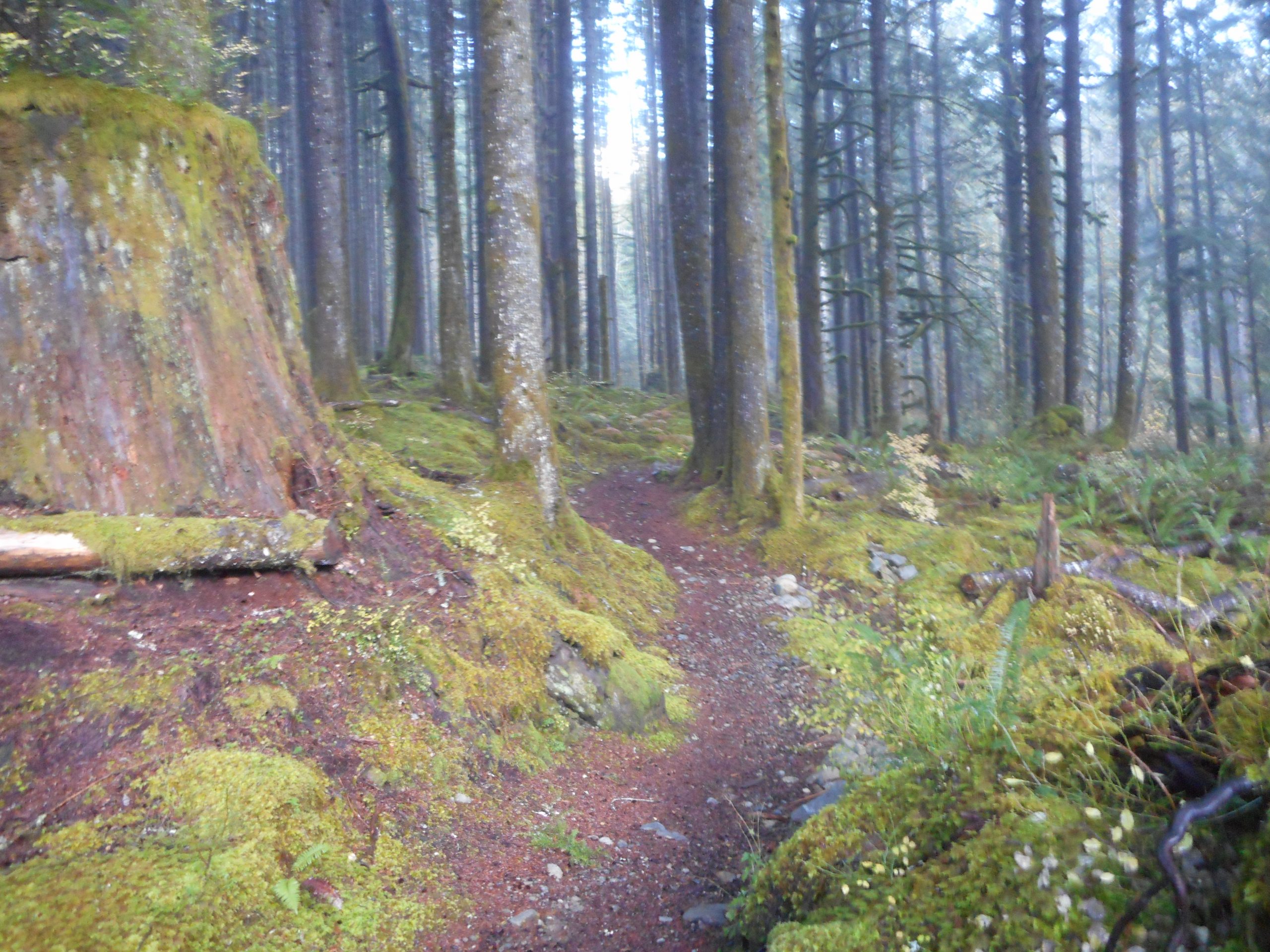
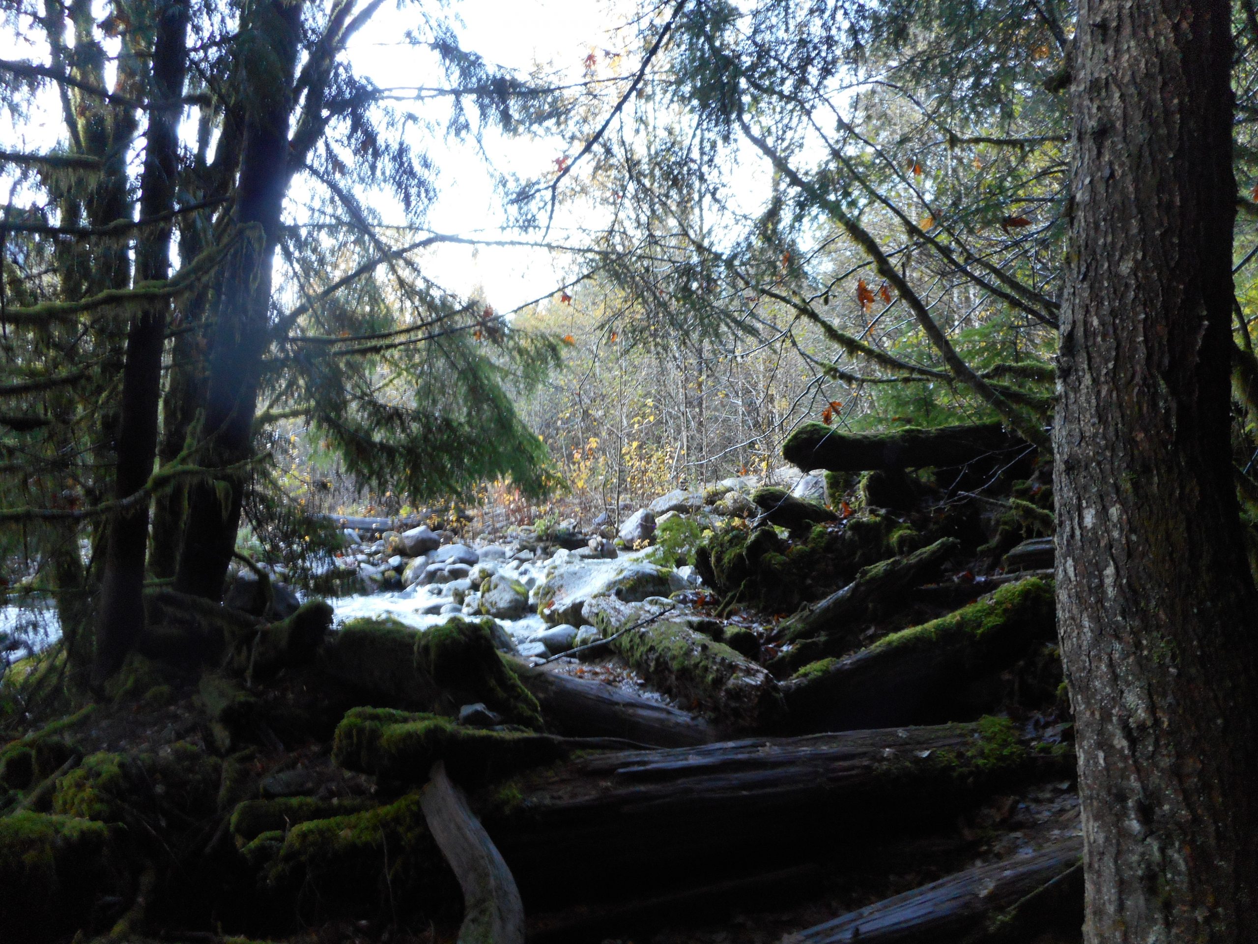
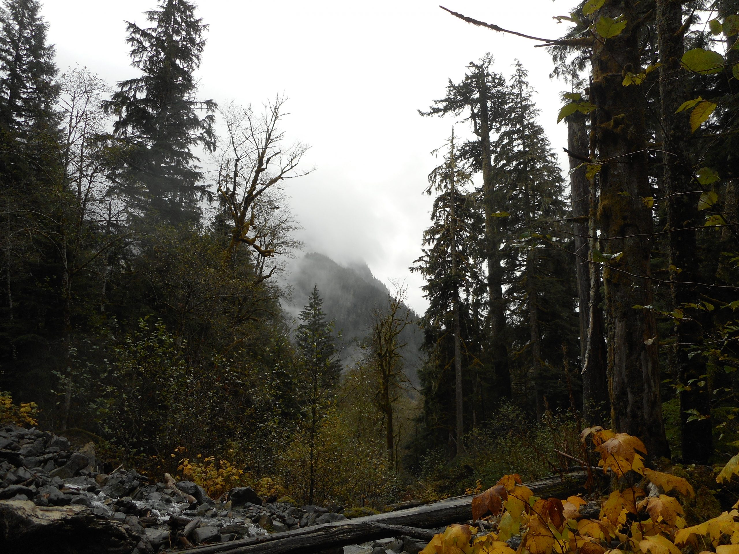
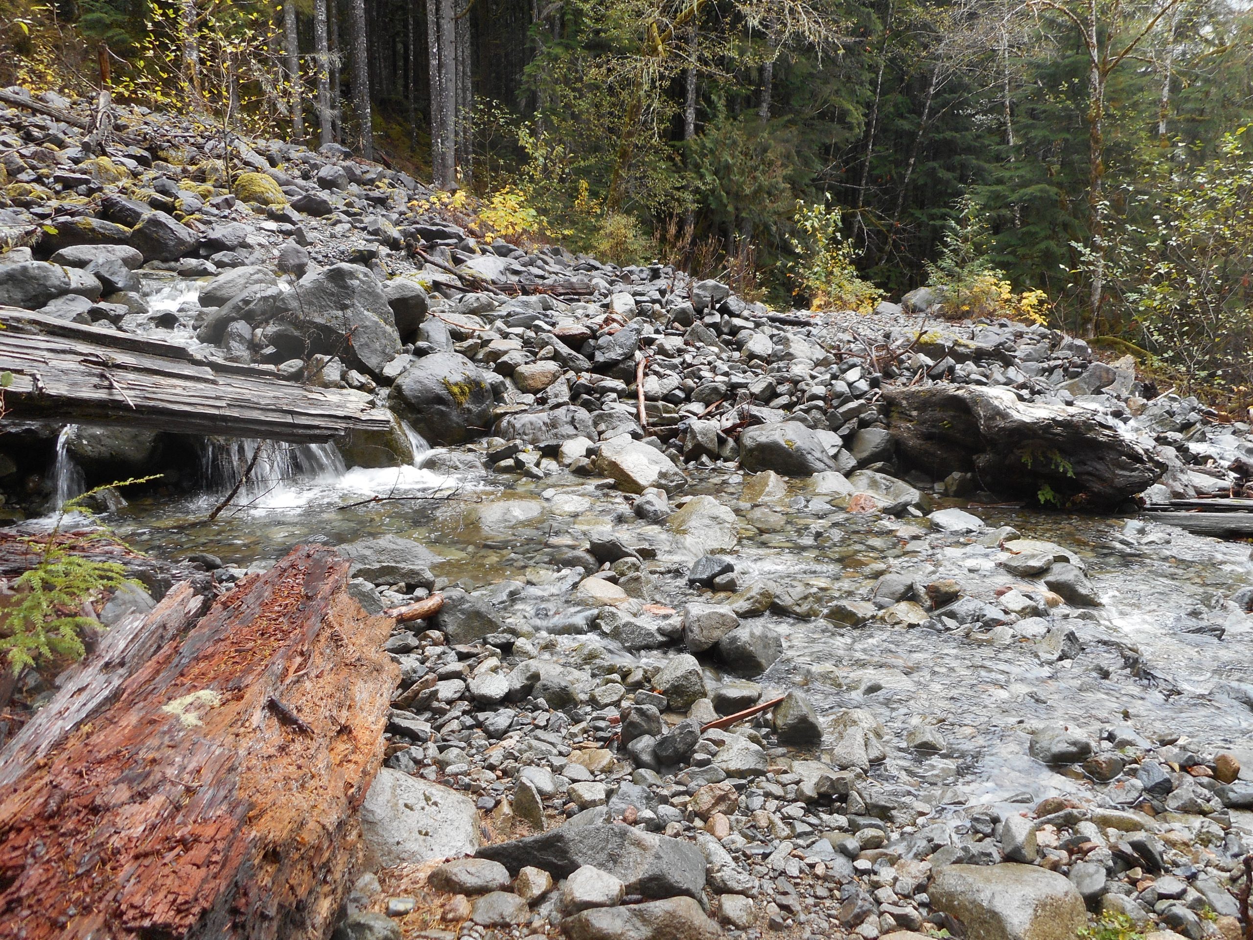
I figure I now have 3 go-to conditioning hikes. The best one, because it is in the forest (but requires a longish freeway drive) is the Section Line on Tiger Mountain.

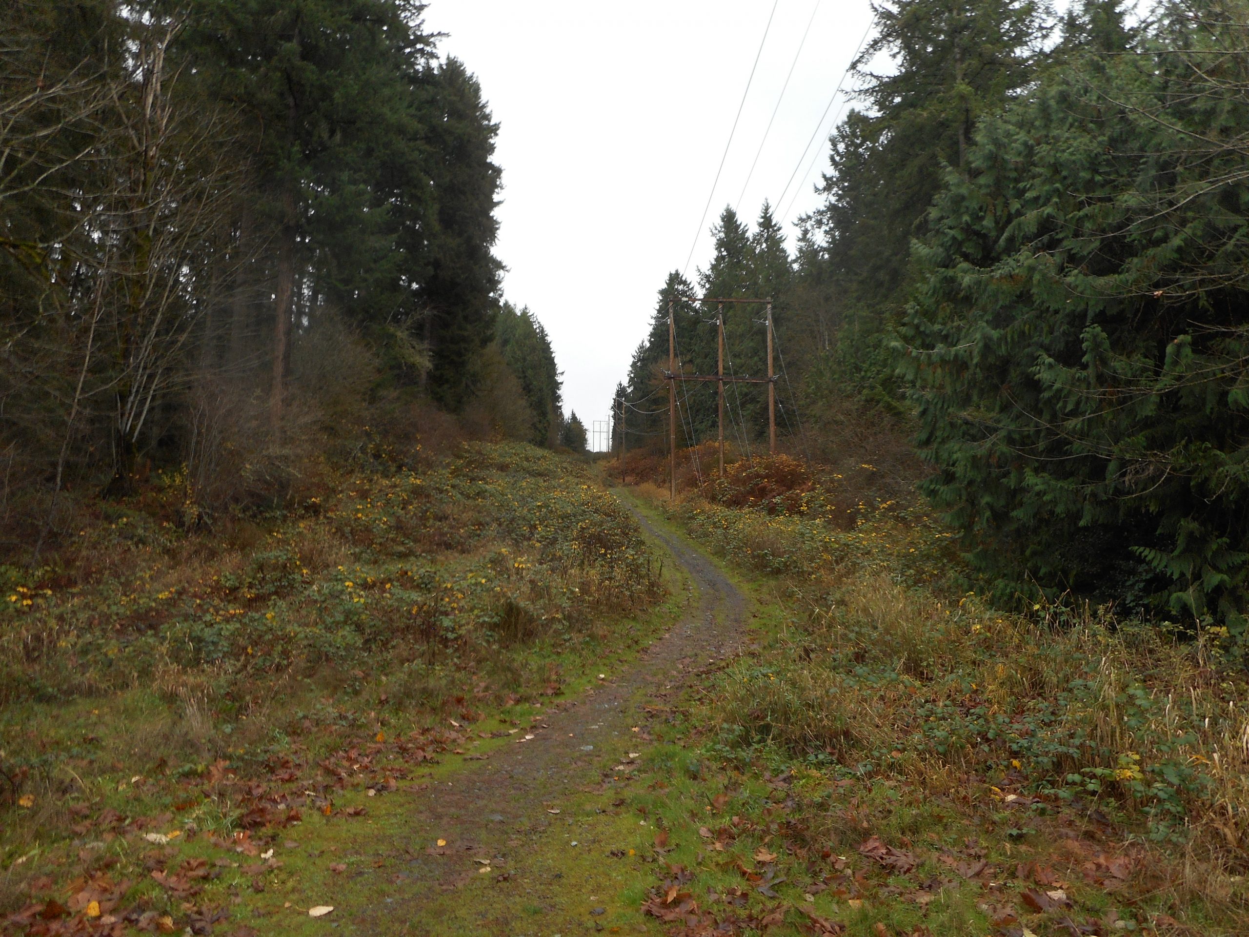
The 2nd one was the Tolt Pipeline Trail in Woodinville. Not a freeway drive, but maybe 12 miles to the next town.

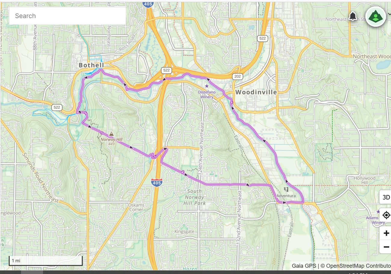
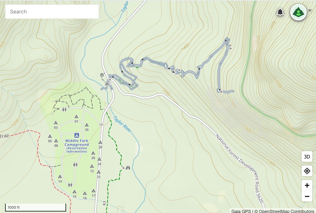
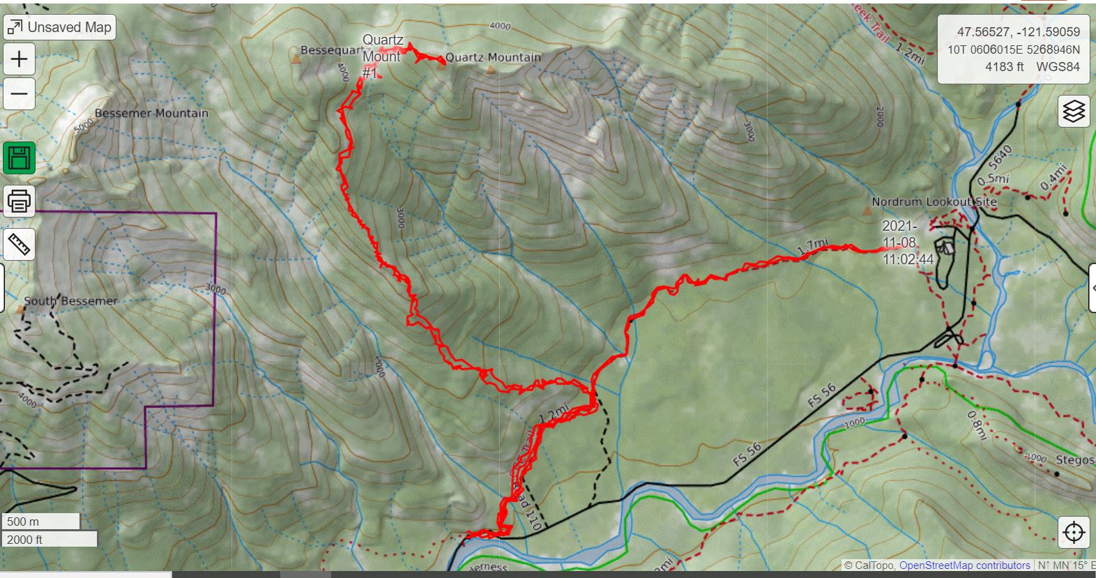
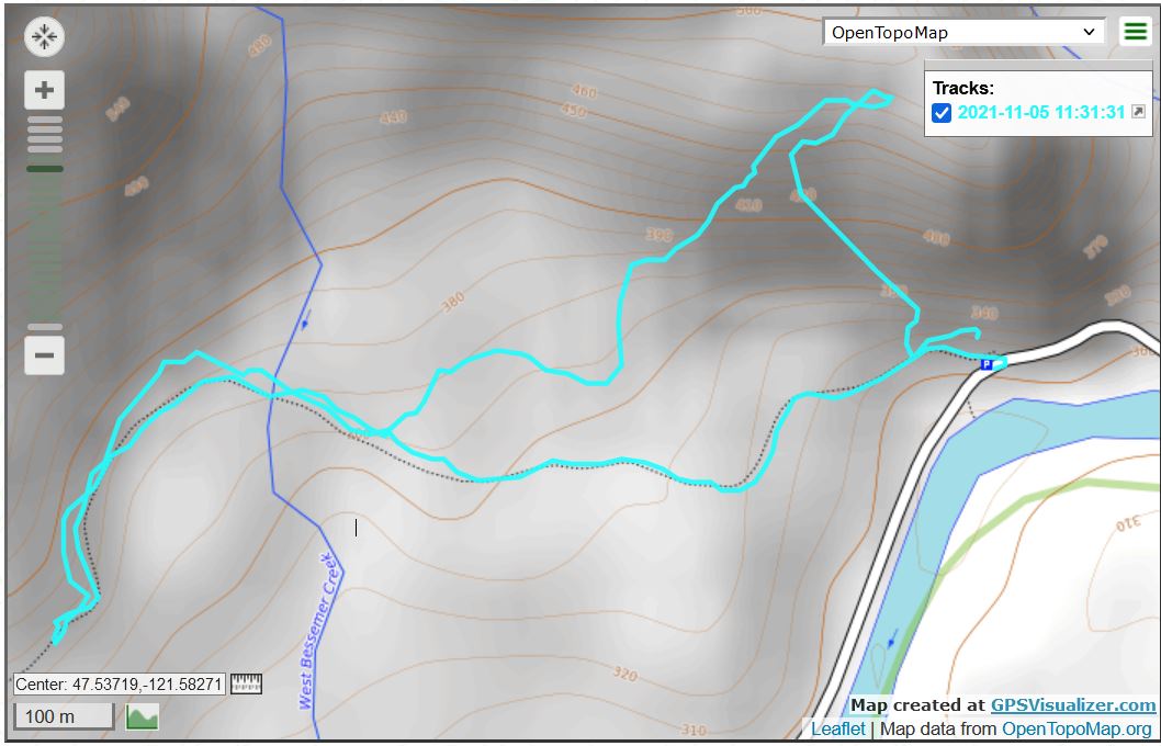
As of today I have a third one, the Tolt Pipeline Trail and Sammamish River Trail starting from Blyth Park in Bothell, only about a 6 mile drive, if that.

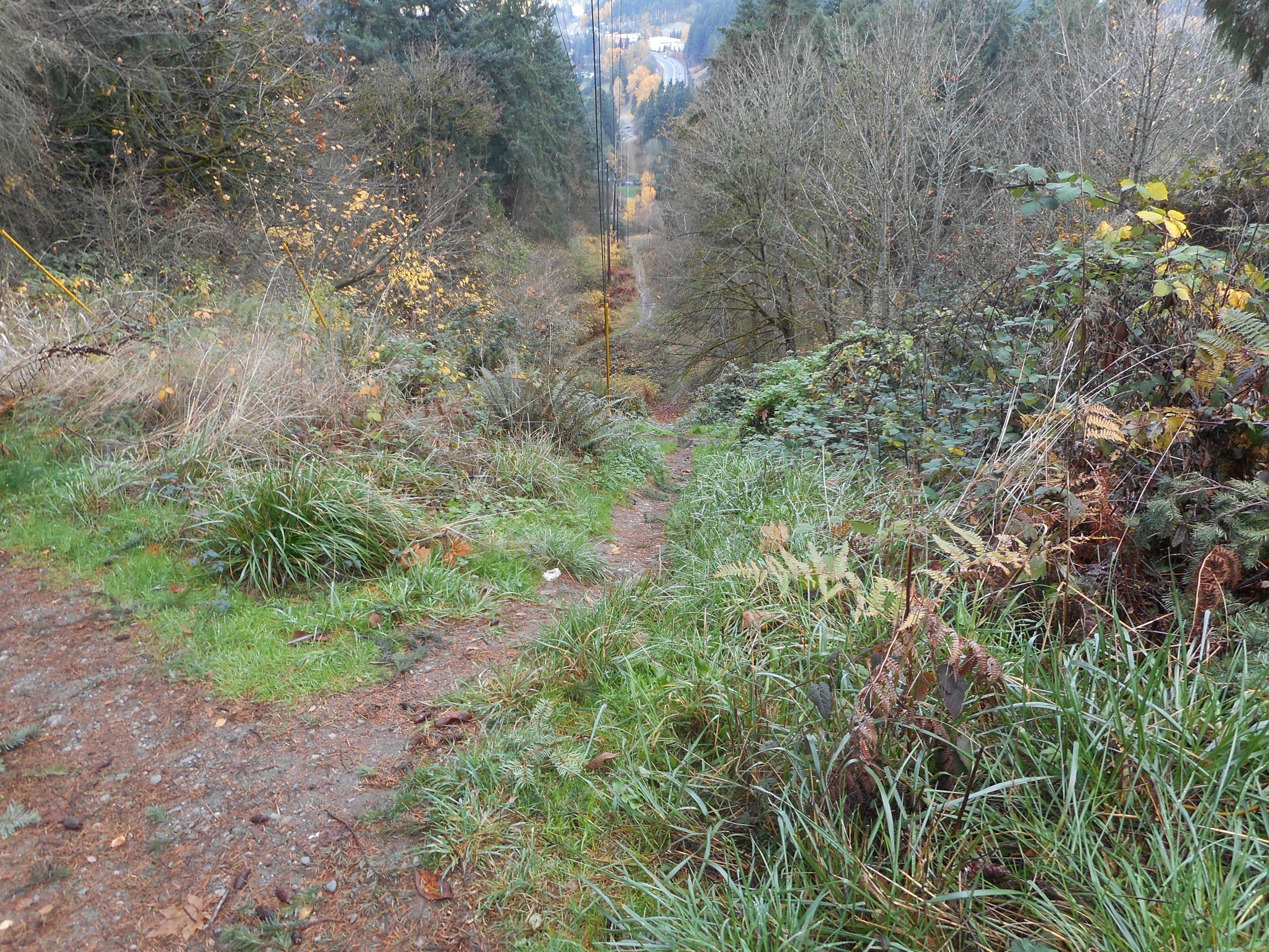
I tried to do a thru-hike via the long, steep hill just outside Blyth Park (I now know it is called Norway Hill) but when I got near the 405 freeway I was confused how to get back to the Tolt Pipeline Trail so I turned around and studied the online map more closely.

This part of the hike is a bit obnoxious, crossing a very busy highway (there is a light so it isn’t dangerous, just ugly with all the cars and their exhaust), two freeway ramps, and then a right turn on an obscure little street.

But after that it is fine the rest of the way. I hooked back up to Tolt, walked on an easy sidewalk/trail in Woodinville, which took me quickly to the Sammamish River Trail, which I walked back to Blyth Park.

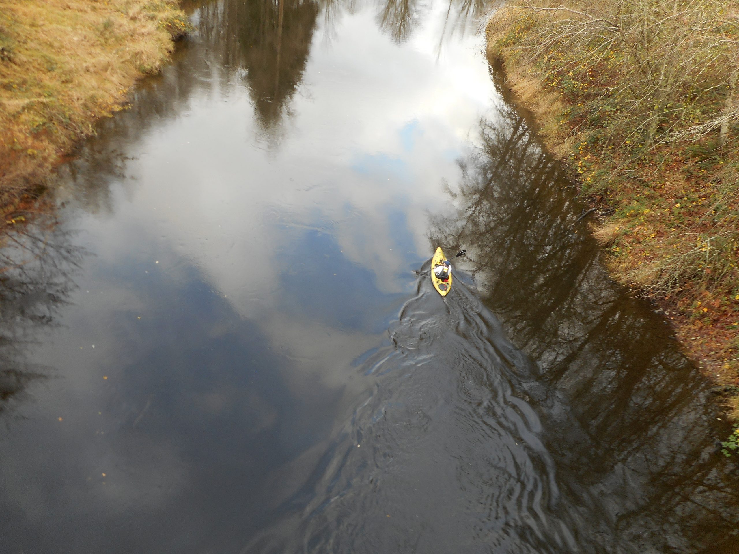
I noticed a kayaker as I neared Blyth, having walked just under 9 miles, and he caught my eye because Derek and I had been talking about trying to get out more often on kayaks next summer. It sounds like a nice plan to me.

Kayaker

Anyway, this is a keeper.

Track

Garfield Ledges 11/28/2021

Derek and Camden on the Ledge

My definition of fun definitely includes a Sunday morning hike with Derek and Camden. We did Garfield Ledges directly from the lot (rather than parking at Middle Fork, which adds a mile) so it was about 1.99 miles.

That mileage includes a little jaunt up from the ledge by Derek. He thinks there is a trail(ish) route towards the summit of Garfield Mountain. And we will come back at another time to see how far we can get. In the track below, you can see a little finger out to the right and that is where Derek carried the Garmin up from the ledge.

We were prepared for rain but felt not a drop. The views at the top of the trail are awesome:

Mountains
More Mountains
Looking Down the Valley

Cam did a great job. He is turning into a real hiker!

Track

Stan’s Overlook 11/24/2021

Stan’s Overlook

Nice little hike this morning to Stan’s Overlook. Didn’t see anyone on the way up, a few on the way down. I will try to get out tomorrow if it isn’t too wet.

Tolt Pipeline Trail 11/19/2021

The Hill

My grand quest is to be able to hike every day. In order to do that I have to find at least one hike that does not require a long drive. I thought I found just the thing yesterday when, on a walk near Blythe Park in Bothell, I noticed a really long, steep hill. I went home and looked on a topo map.

The hill leads to the Tolt Pipeline Trail, which runs from Bothell (right where I entered the trail today) all the way to Carnation, about 30 miles. I have always hiked a portion of this trail in Woodinville, going up Heart Attack Hill and beyond, for an out-and-back of 7 miles.

Today I went back to Blythe and went up the hill. Whew! This one is steep. You gain about 465 feet in just under .4 mile. I got to the Pipeline Trail and followed it as far as I could. It ran out near the 405 freeway and, apparently, picks up again on the other side.

So, next week, I will explore the Tolt starting from the other side of the freeway to see where that segment ends (and, from the other direction, begins) so I can go all the way from Bothell to Woodinville and back. I estimate that it would be about 11 miles with several nice, steep hills. And I would then have a new conditioning hike I could do over and over, without driving myself nuts with all the driving and our budget busted with the price of gas.

Tiger Mountain 11/17/2021

Tradition Lake

I haven’t hiked in over a week so I chose a gentle one – the lowlands of Tiger Mountain. Up the Tradition Plateau trail, to Wetlands, to Bus Trail, to Around the Lake, to Swamp and then Big Tree, and back via Tradition Plateau. No big deal but it was nice to get out again.

After such a layoff I once again must ramp it up to get back in shape.

CCC Trail 11/8/2021

Winter in the Mountains

I went back to the Middle Fork today, looking for the unofficial trail to Quartz Mountain. I believe I found it but my belief is based less on what I saw on the ground than on what I see when I look at one of the peakbagger’s tracks compared to mine today.

The tracks, below, are superimposed. Mine goes relatively straight to near Nordrum Lookout, the other one turns left and goes up. That’s the one from last June that a peakbagger did:

2 Tracks

I believe I found the spot where you go off the CCC trail but I am not sure about that. I need to go back and go a bit farther off the CCC trail to get a better idea. I saw no tape and nothing resembling a trail, but there is a distinctive feature that will be easy to find next time.

The trail is excellent, the forest around there is beautiful and I saw not a single person the entire time.

Trail

I went just under 6 miles and crossed a few little streams, including this one, which required very careful maneuvering:

Careful Crossing

I will be back. Might not be able to go to the summit until next year when the snow is gone. As you can see from the picture on top, winter has arrived in the Cascade mountains.

Waste of Gas 11/5/2021

Misty Mountain

My plan today was to drive out to the Middle Fork area and find the beginning of the alternate (more commonly used) path to the summit of Quartz Mountain. I parked the car and doh! In my haste to get out the door I had forgotten to bring any water. A dumb mistake.

I thought I would try a bit of it anyway but after about .75 mile I realized I had not quite gotten it right. Mistake number 2: I relied on a dim memory of someone else’s track rather than getting my bearings via Gaia right away. I realized the way to go was to park where I had parked but walk up FR56/SE Middle Fork Road a few hundred yards to where the CCC road goes the other direction.

Now I know. But I sure drove a long way only to hike a short distance, just a bit less than 2 miles. Live and learn.

Along the way there were a few little stream crossings including this one:

Creek Crossing

And right after I took that picture a rock I was hopping on turned out to be unstable and I got my feet soaked. Serves me right. But I will go back (tomorrow or the next day) and find that route.

The track, which looks wrong to me. It appears as a loop but I went out and back via the same route. Strange.

Track