Hiking in the ‘hood – 5/30/2015 (updated 6/1/2015)

20 Miles of Trails near Derek's house
20 Miles of Trails near Derek’s house

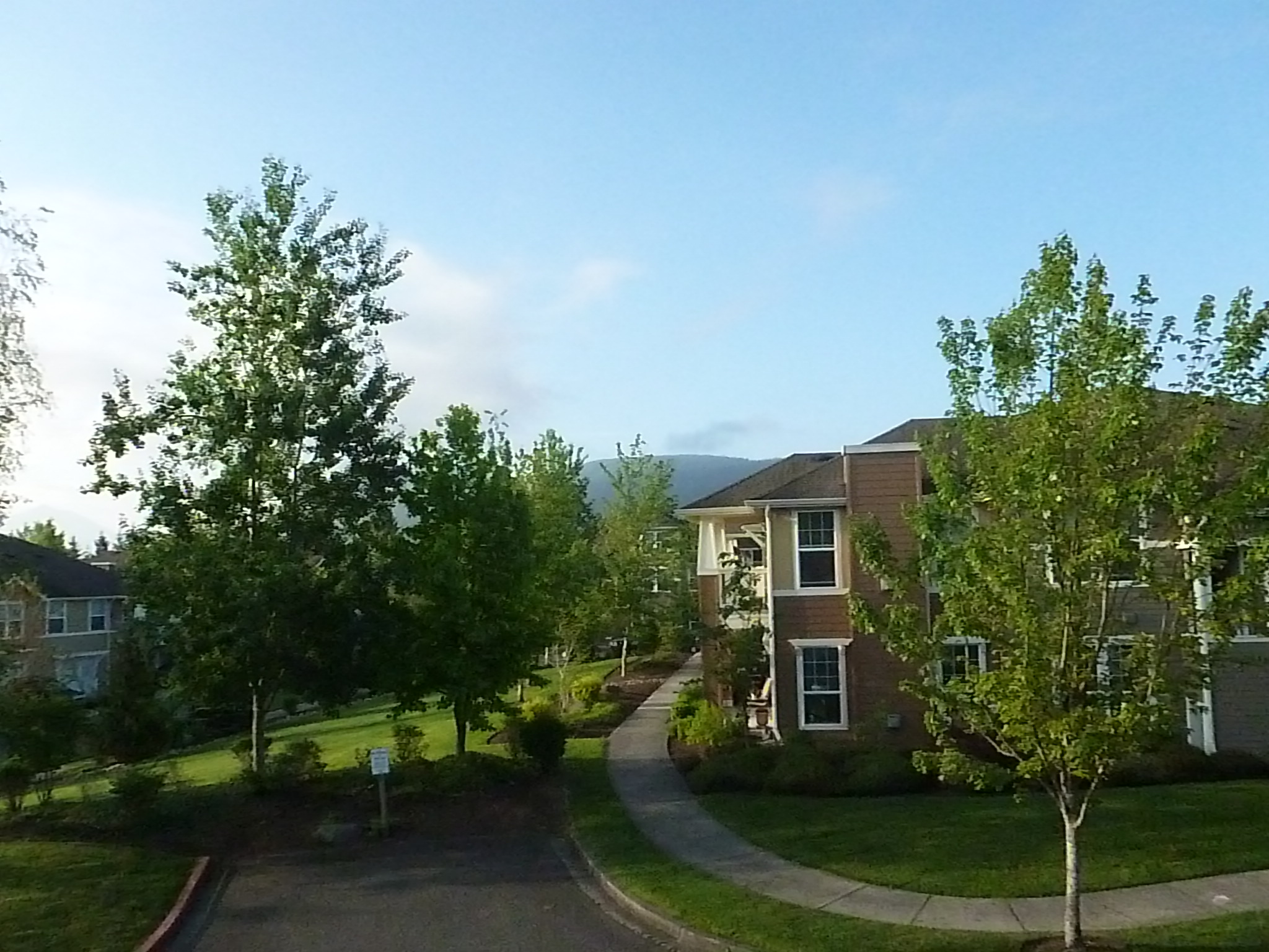
On the one hand, Derek, Jill and Finley definitely live in a city, the city of Snoqualmie.  It has its own Champions Tour event (the Boeing Classic), a nice downtown, an older section of town with a railroad and on and on.

It is civilization.

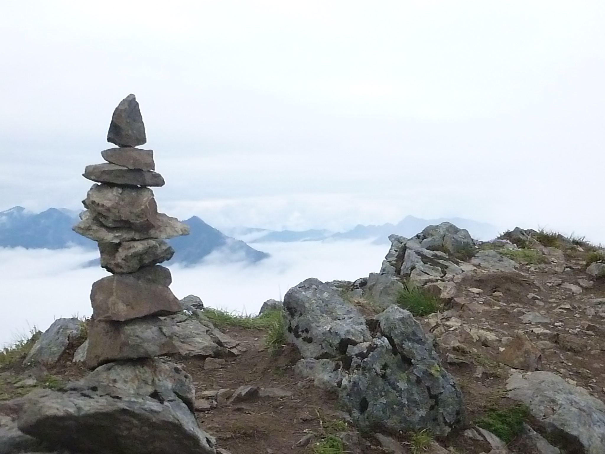
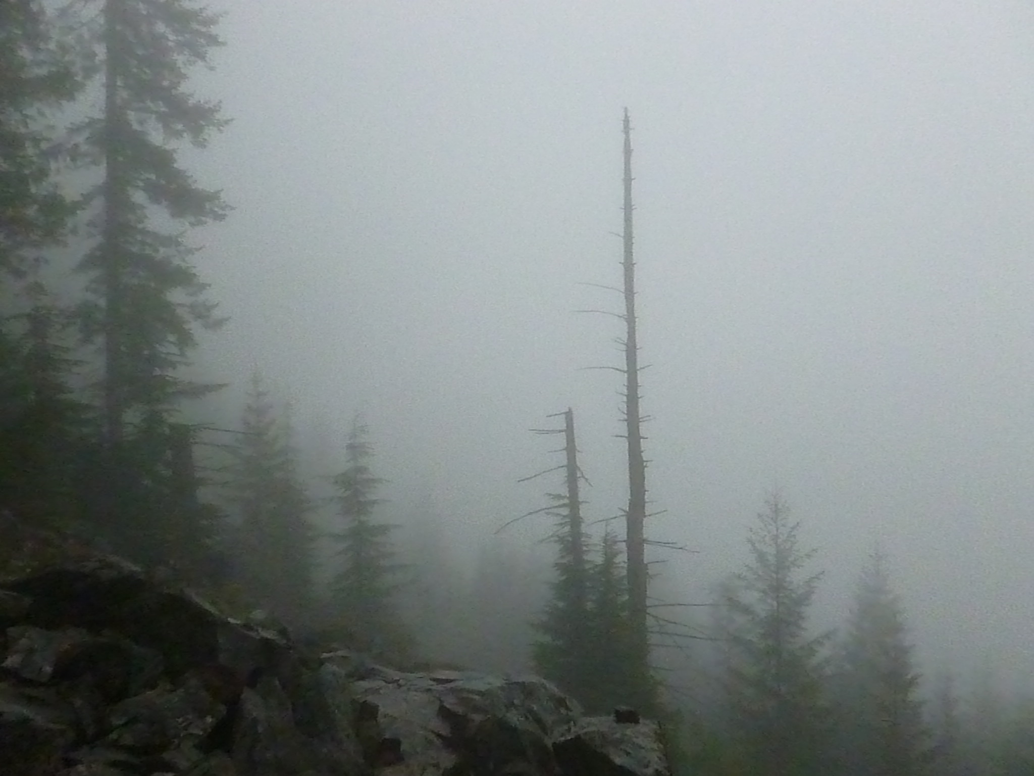
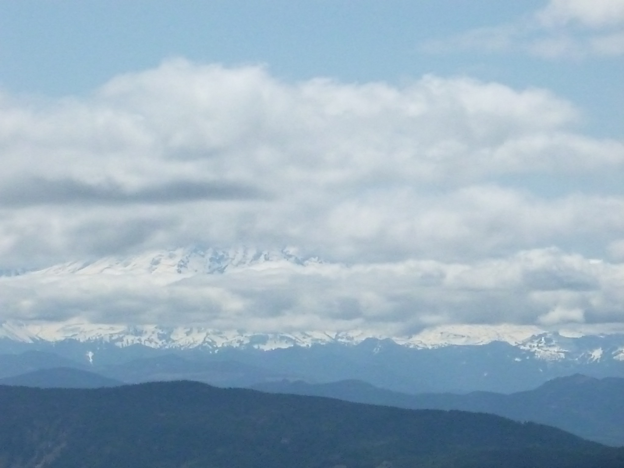
But the view from their balcony shows how close they are to the Issaquah Alps, although yesterday the best view was obscured by the morning marine layer.  You can see a corner of a mountain in this view:

View from Derek and Jill's balcony
View from Derek and Jill’s balcony

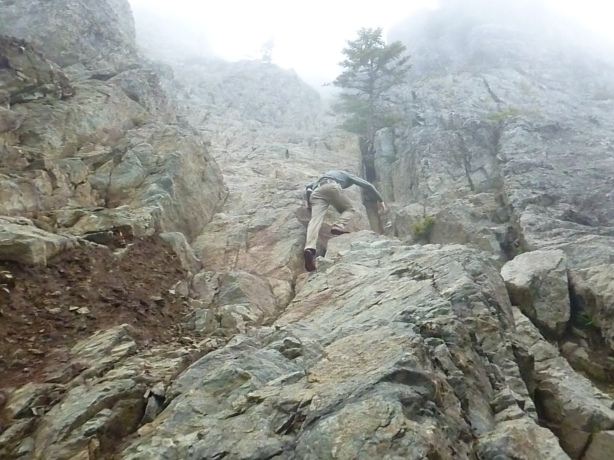
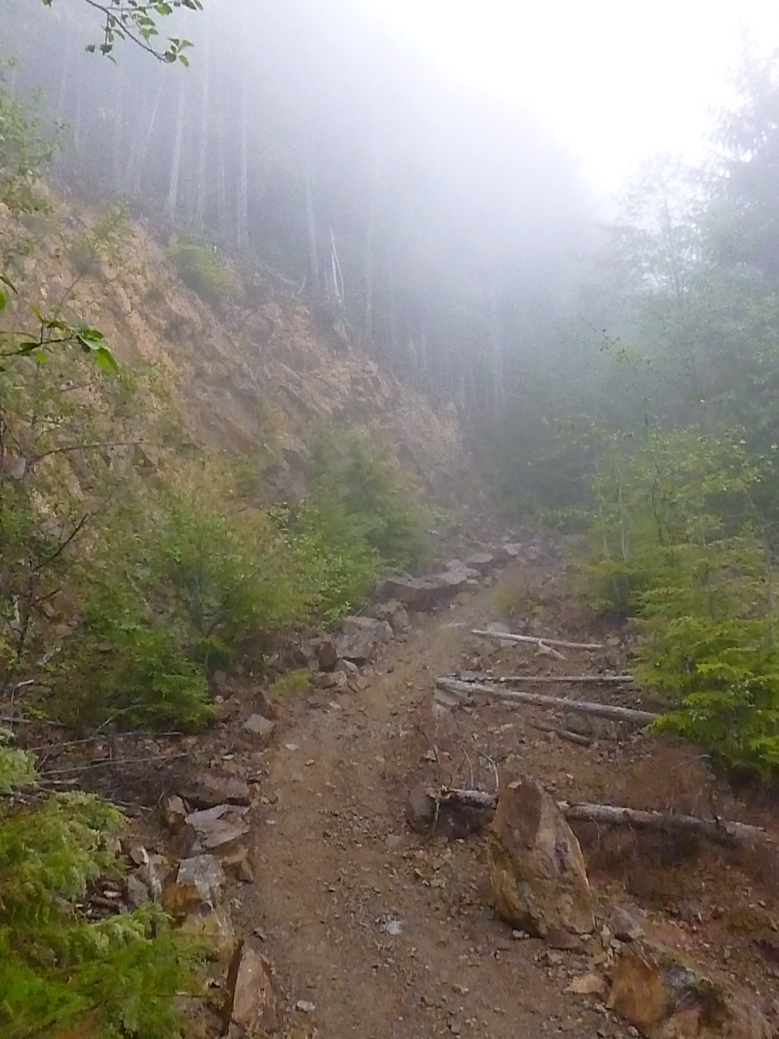
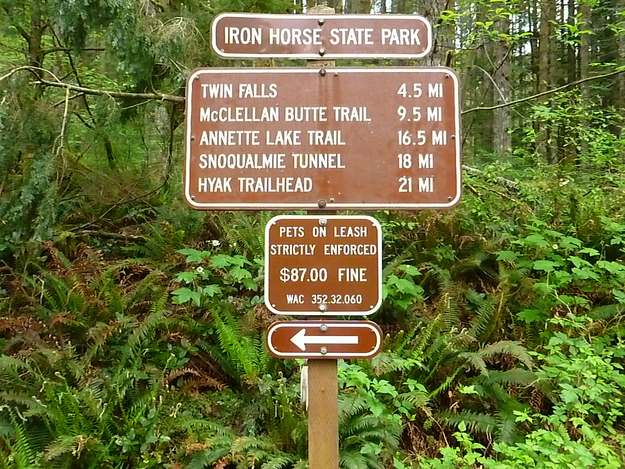
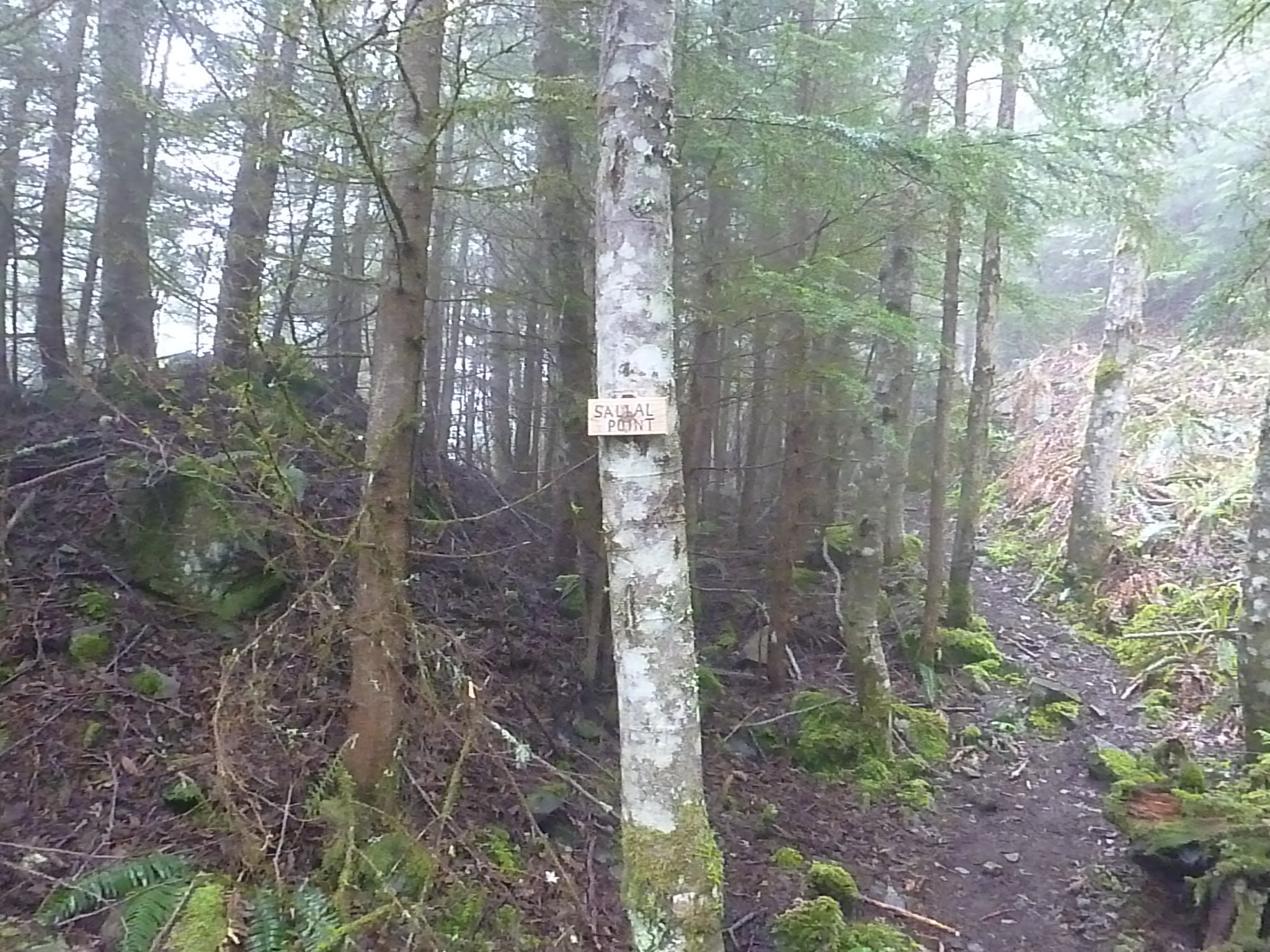
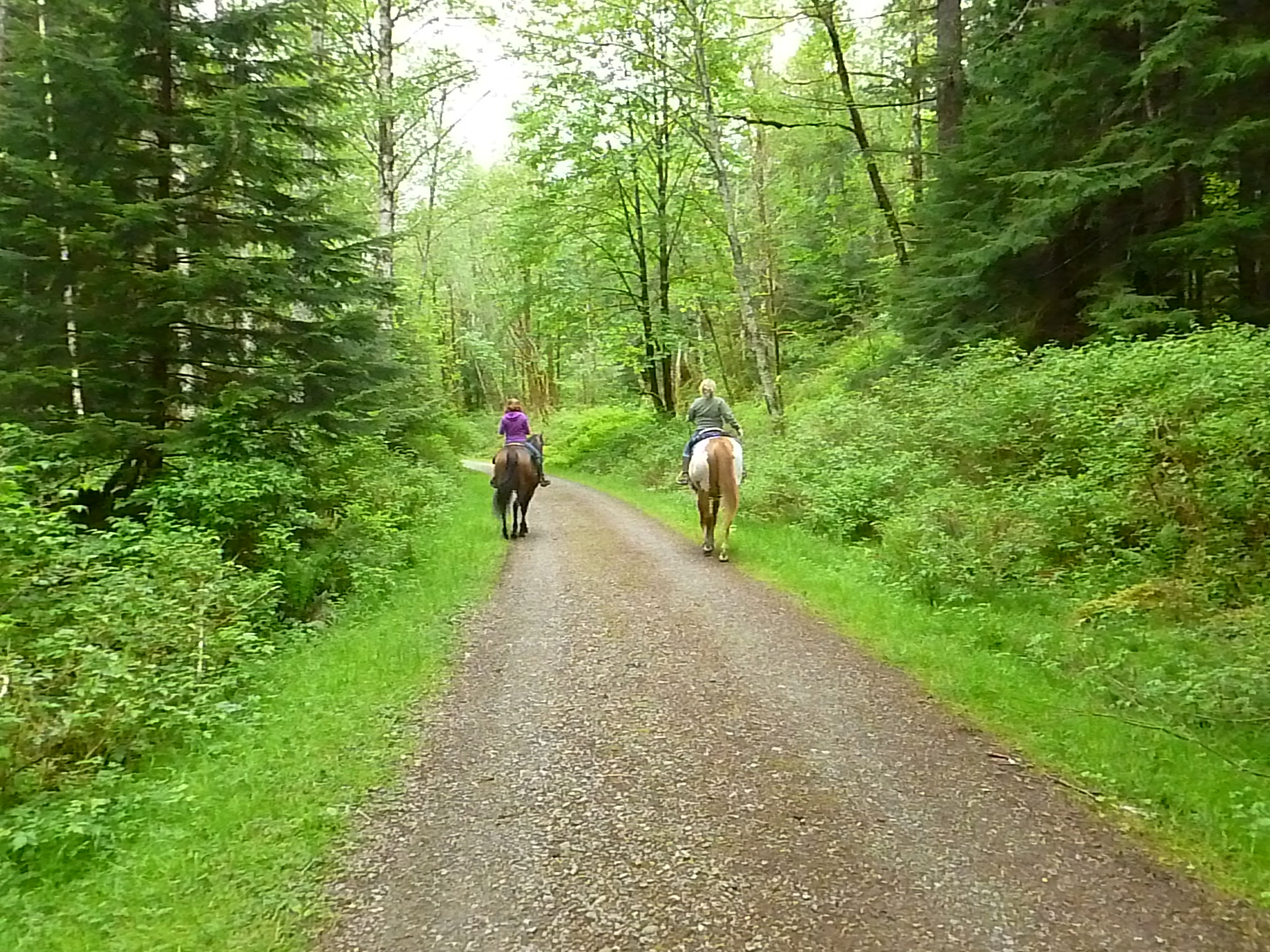
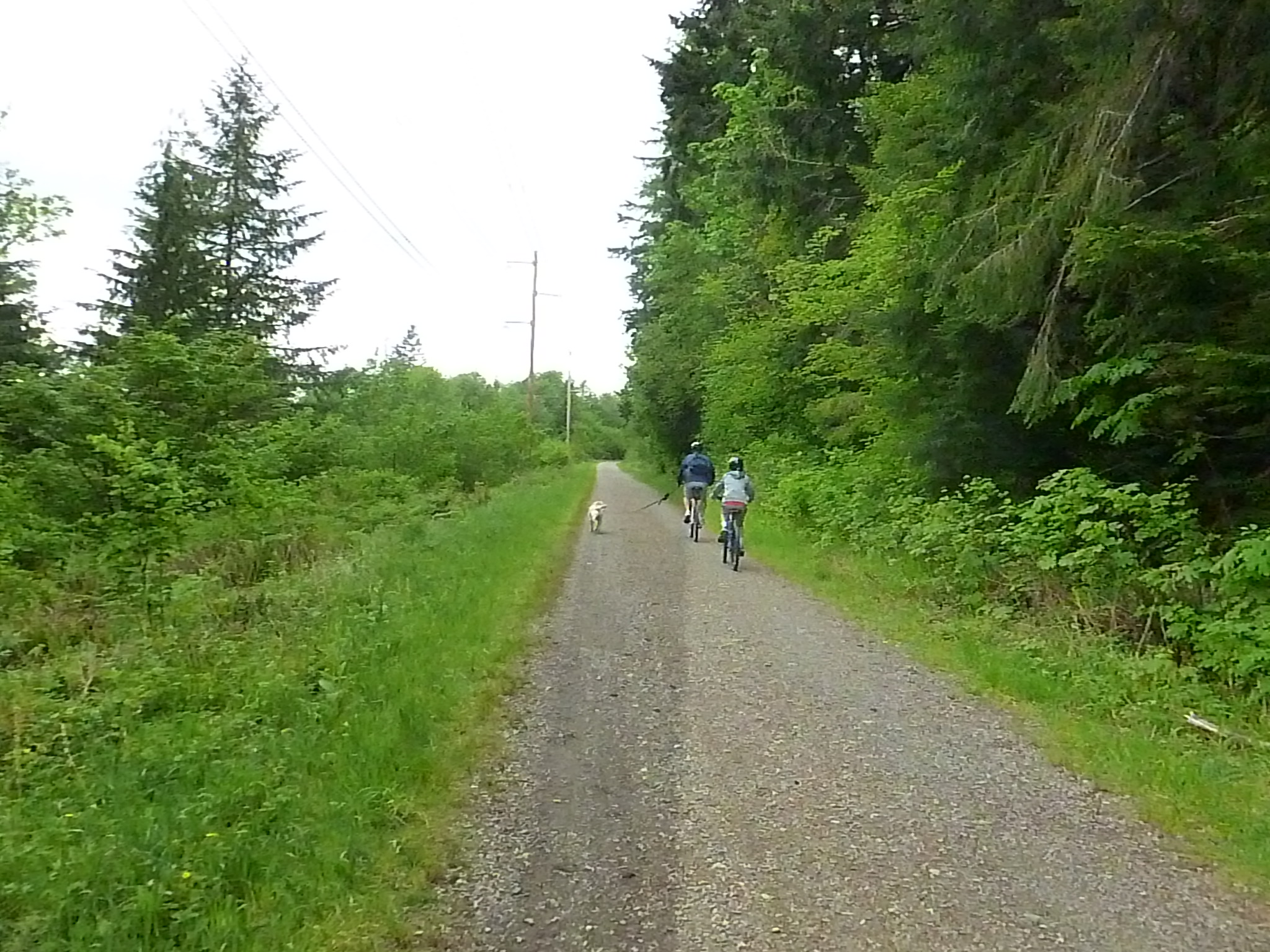
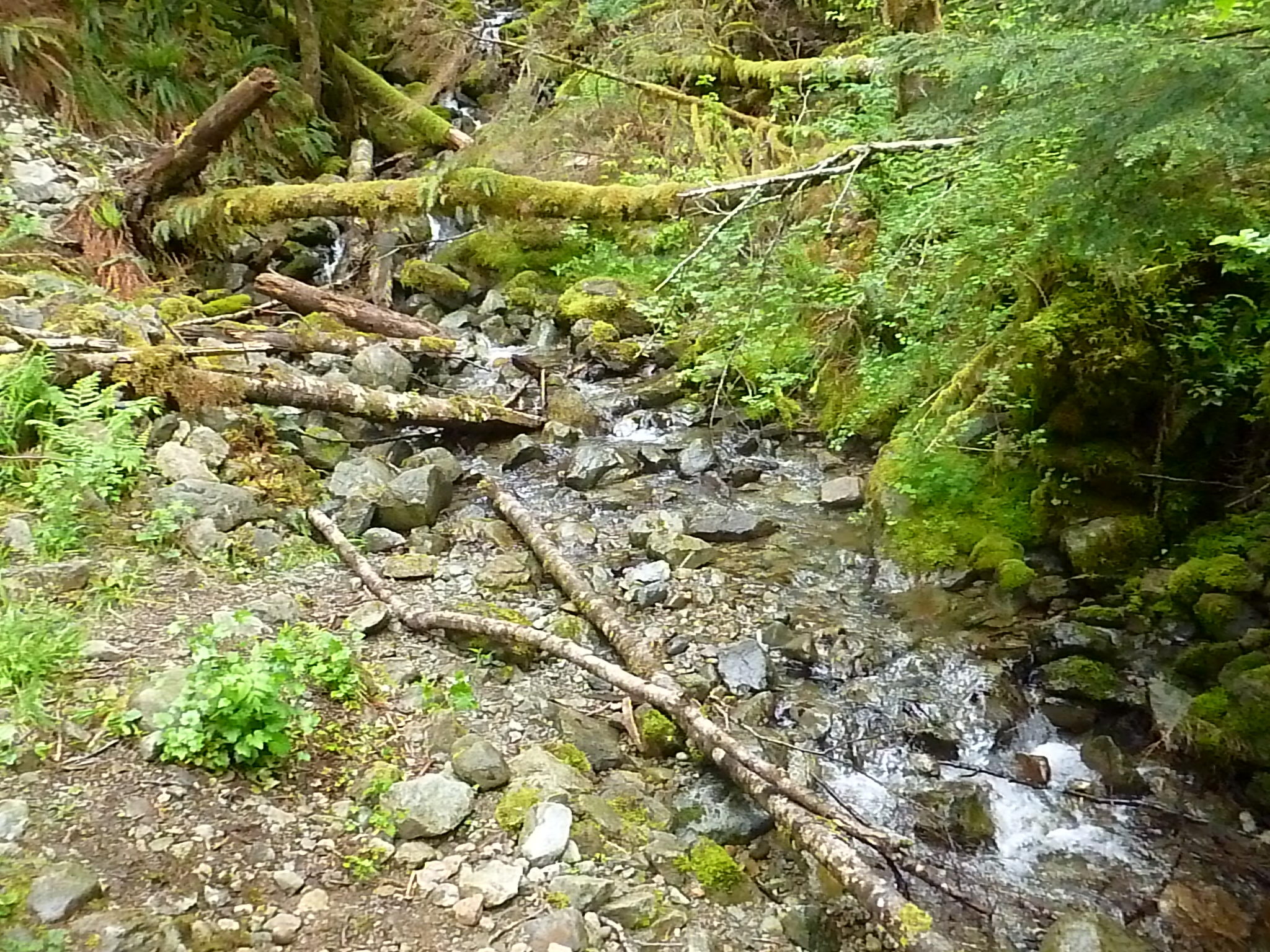
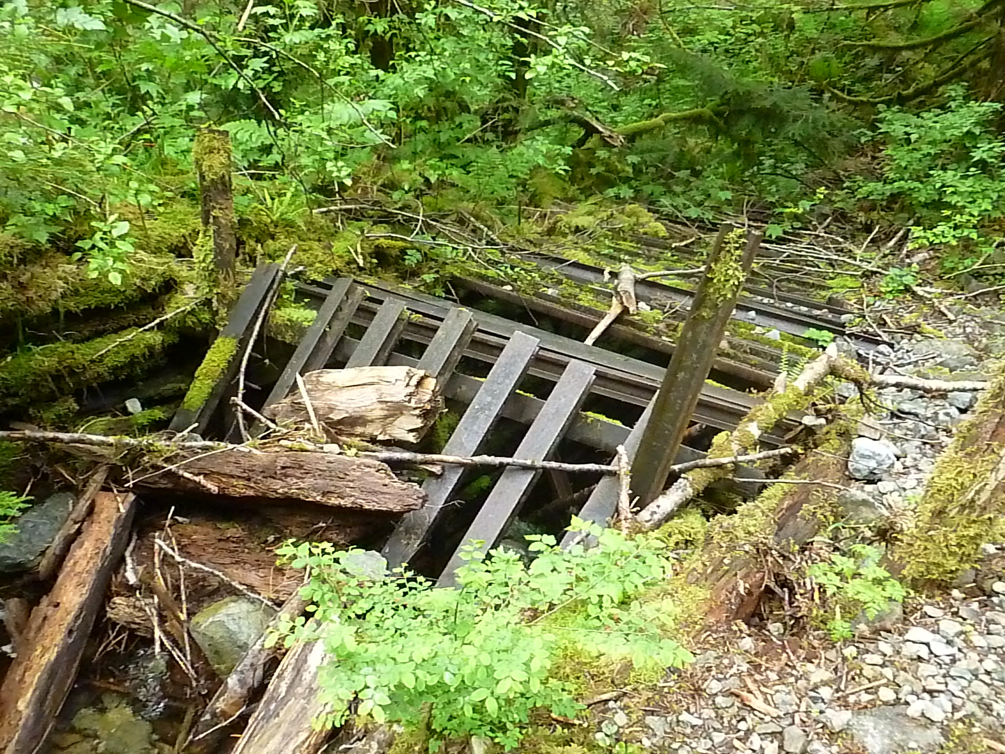
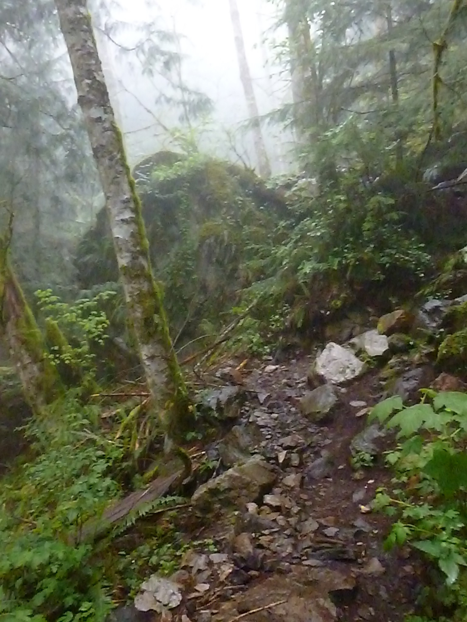
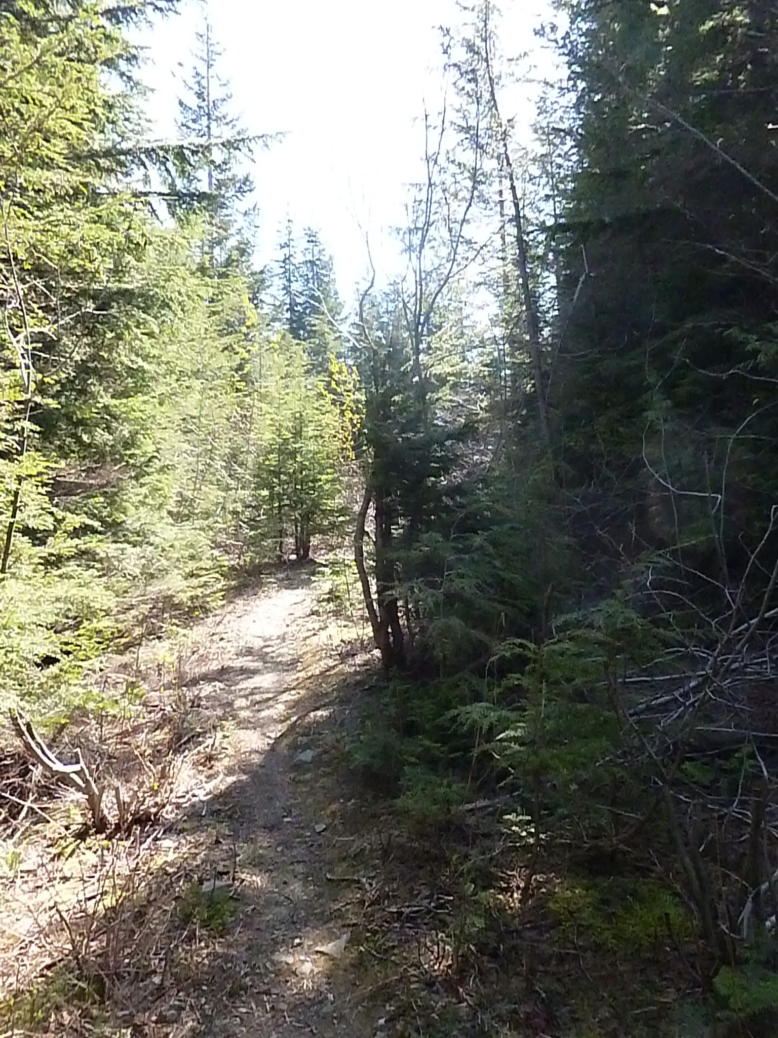
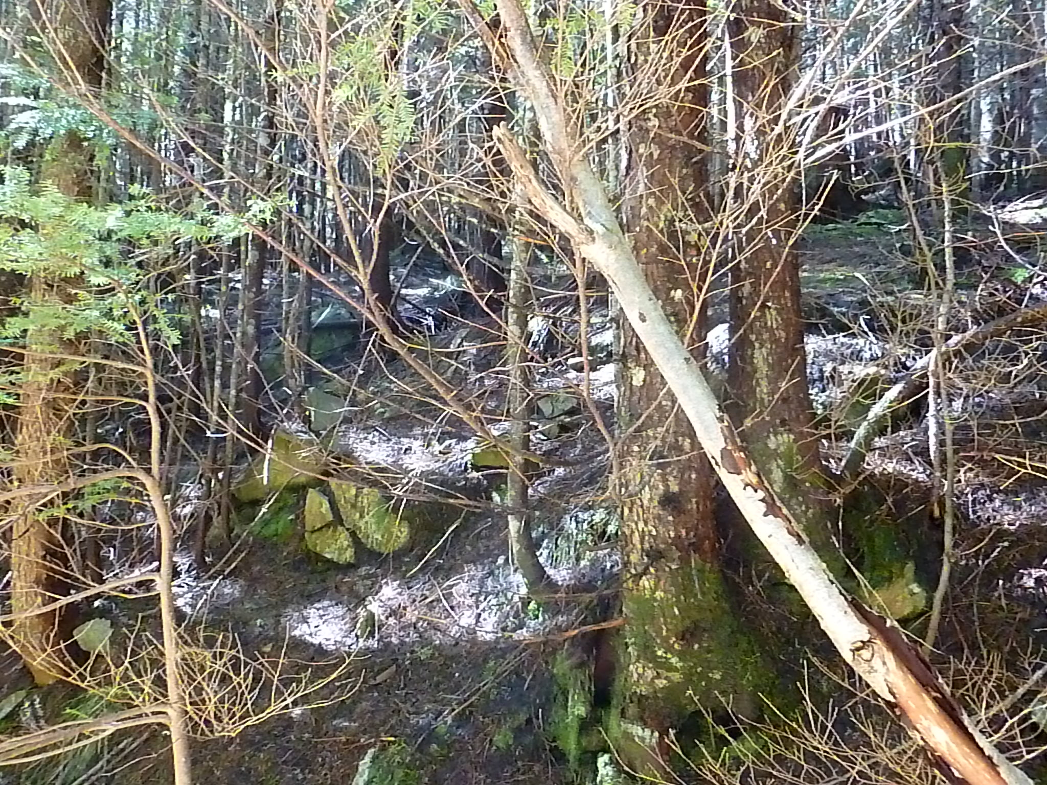
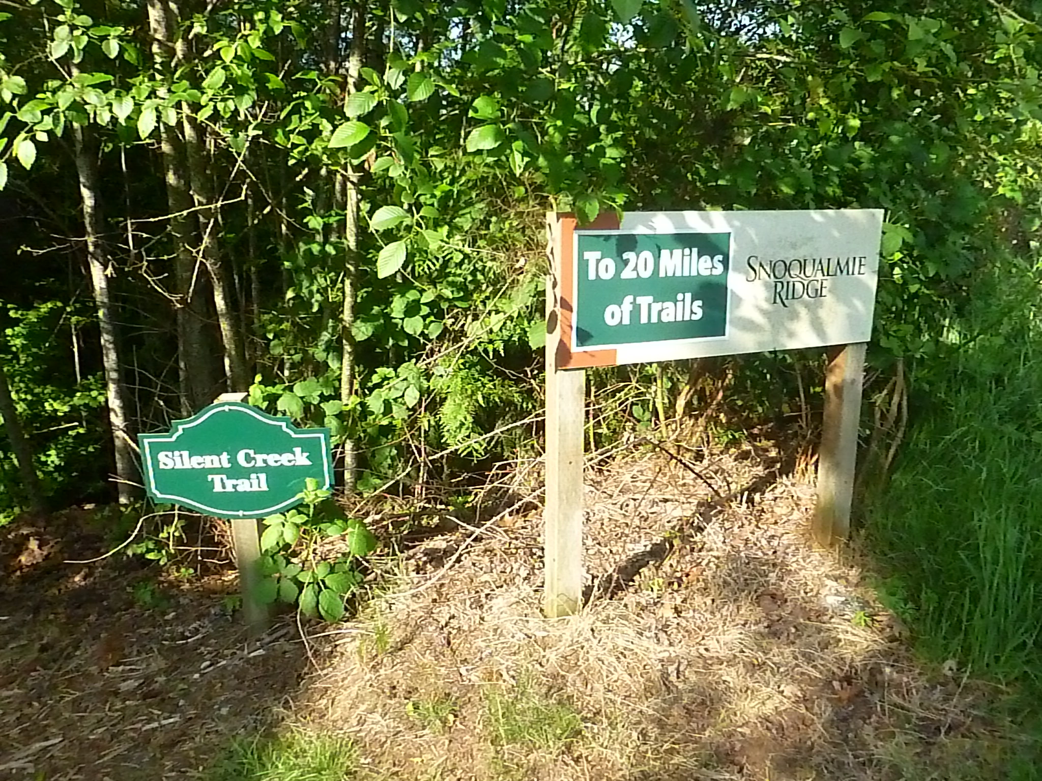
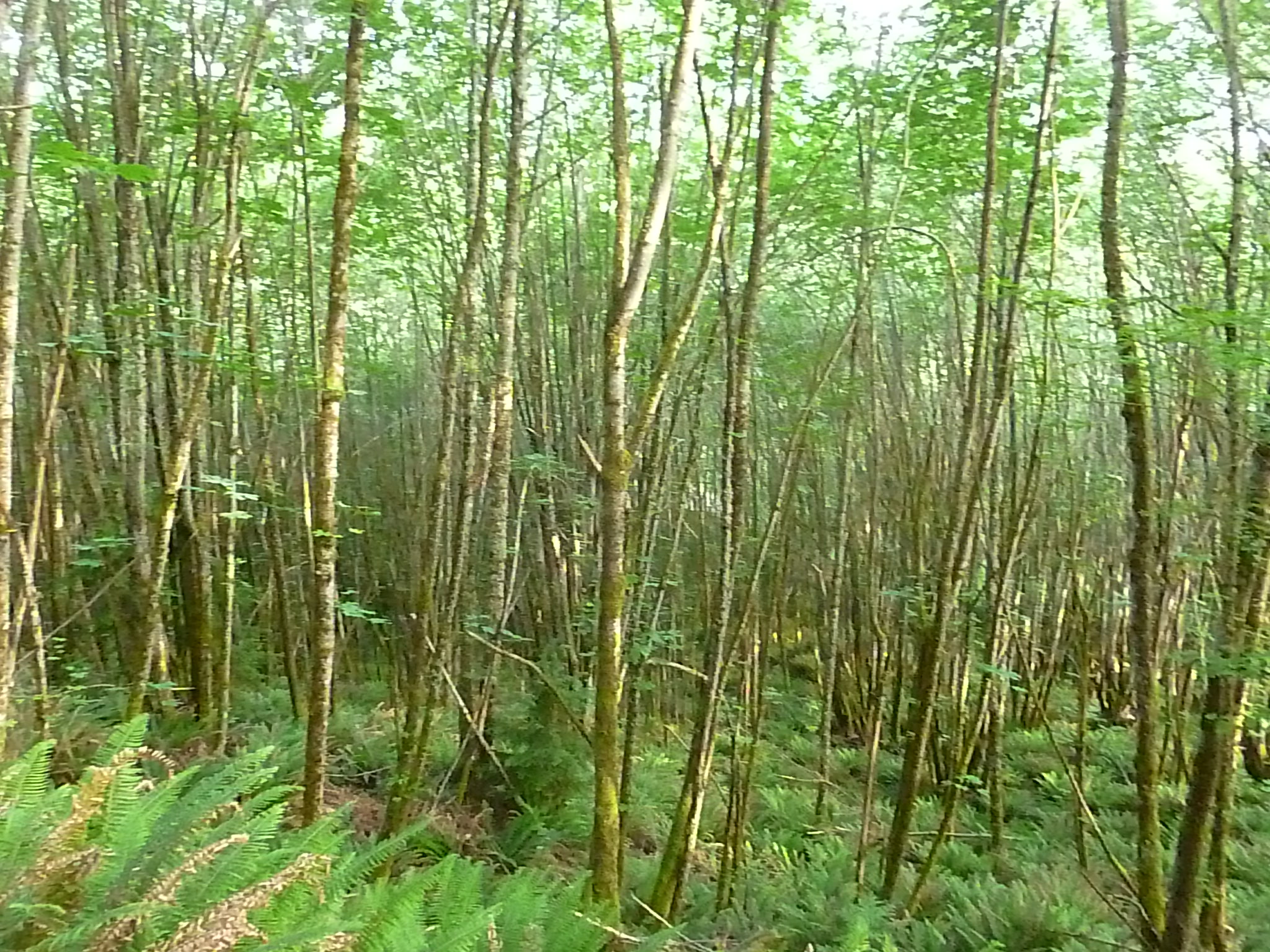
Saturday the 30th we had time constraints so all we did was walk out his door about 7am and did an almost 3 hour hike.  There are so many trails in their neighborhood that it may be tough to choose a route, just like it can be hard to pick your food from a crowded menu.

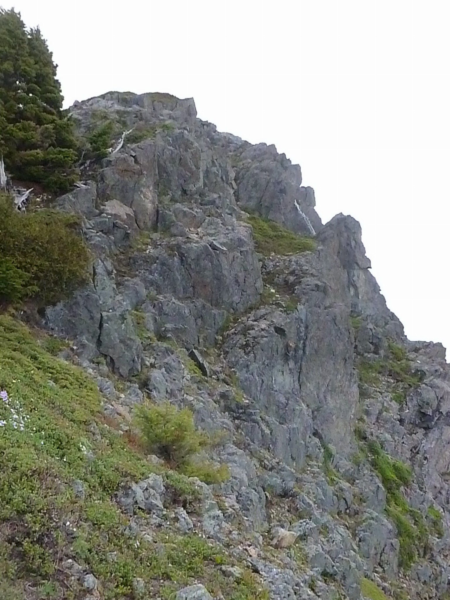
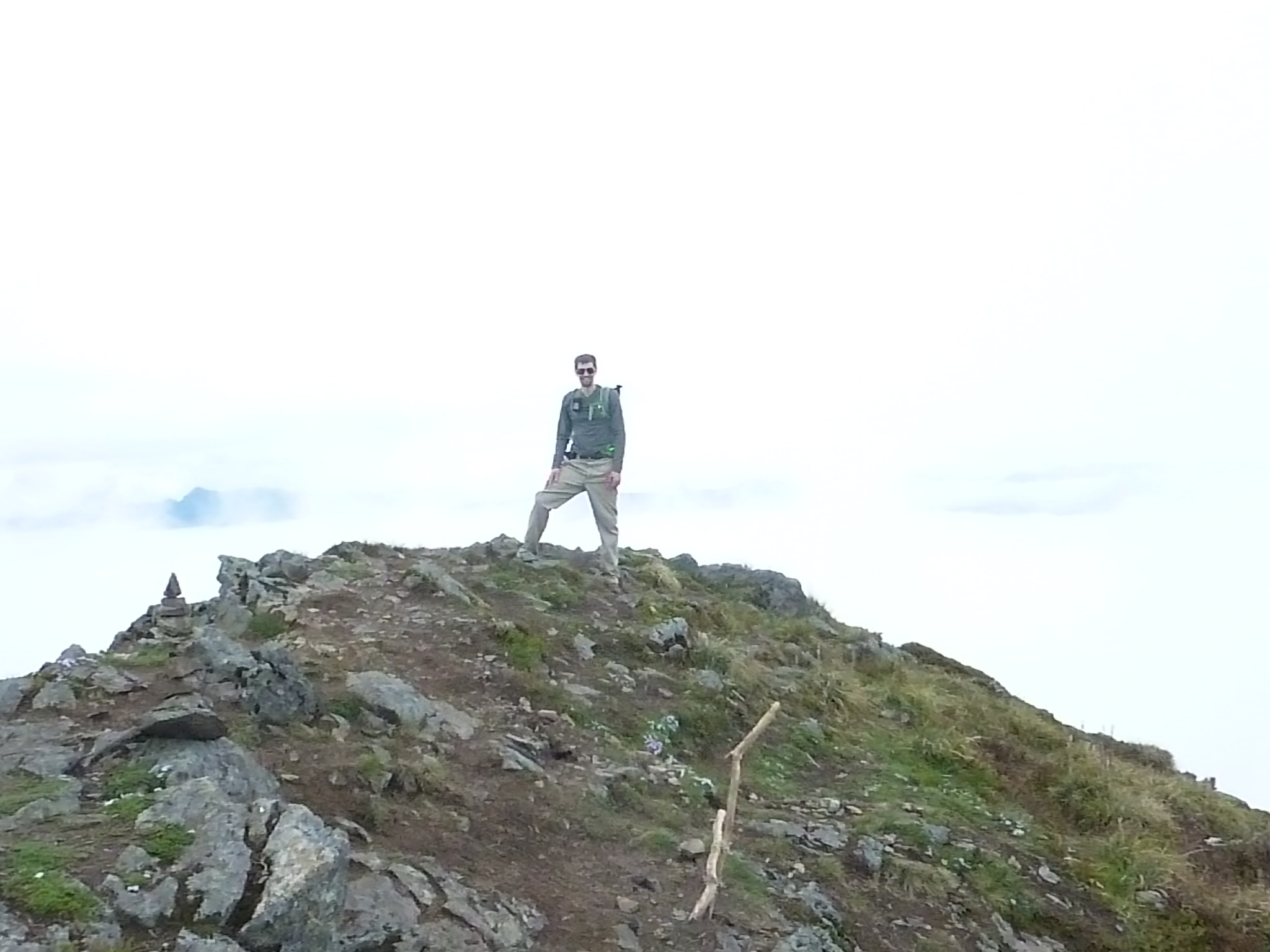
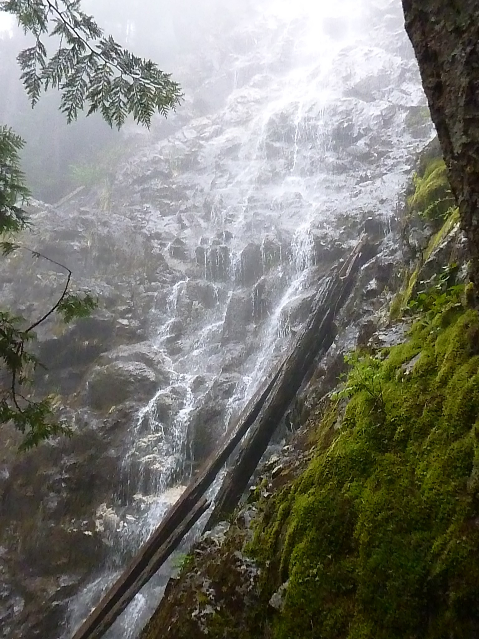
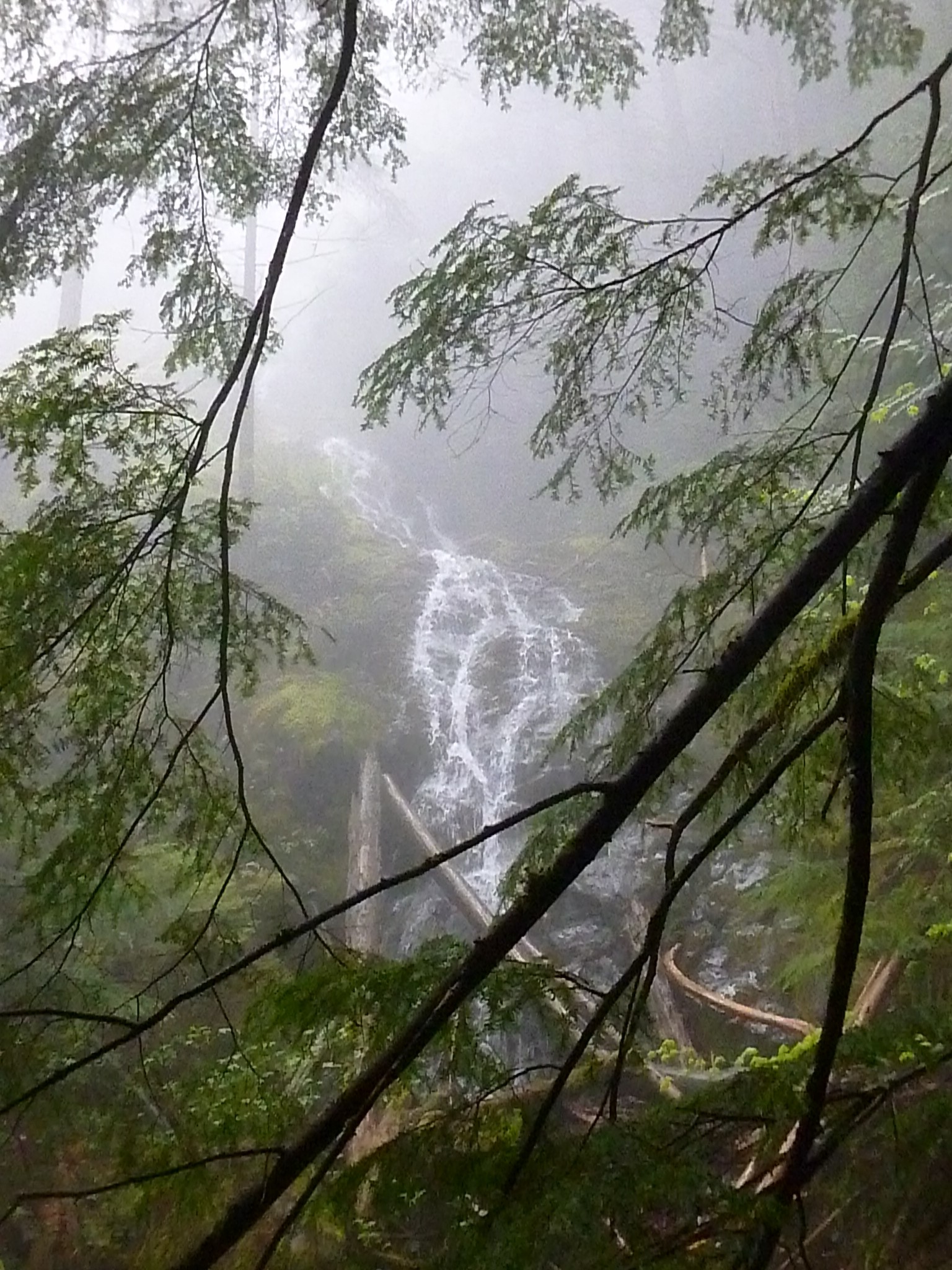
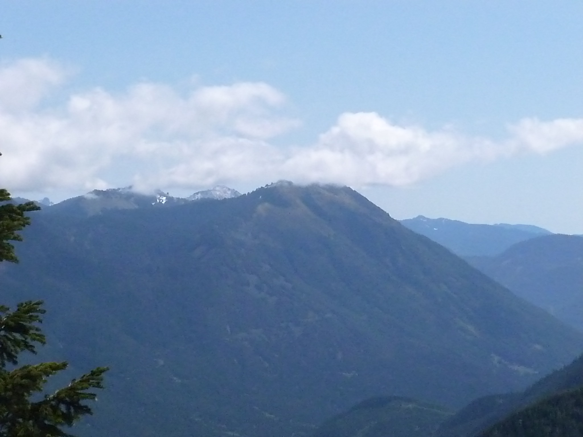
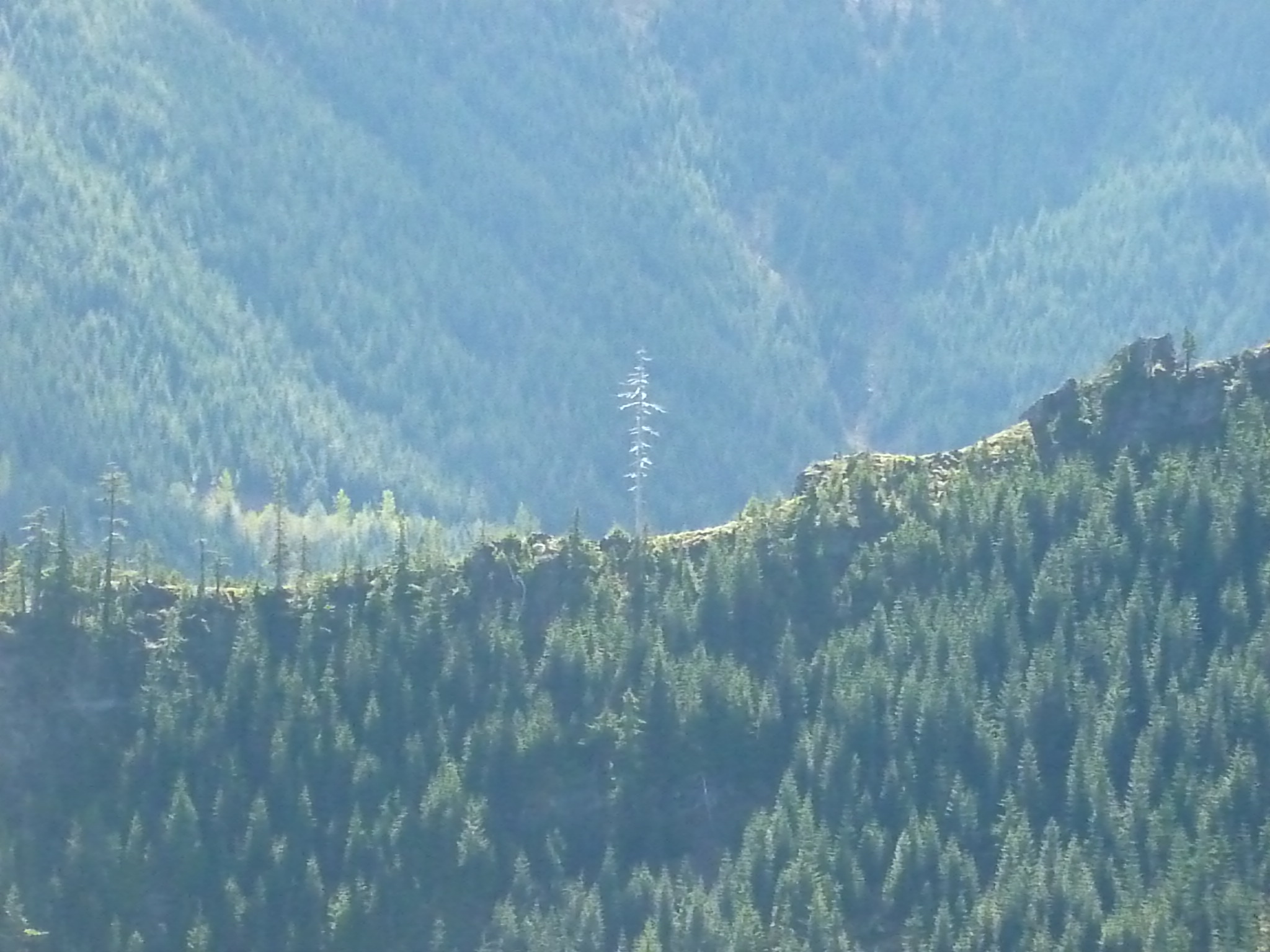
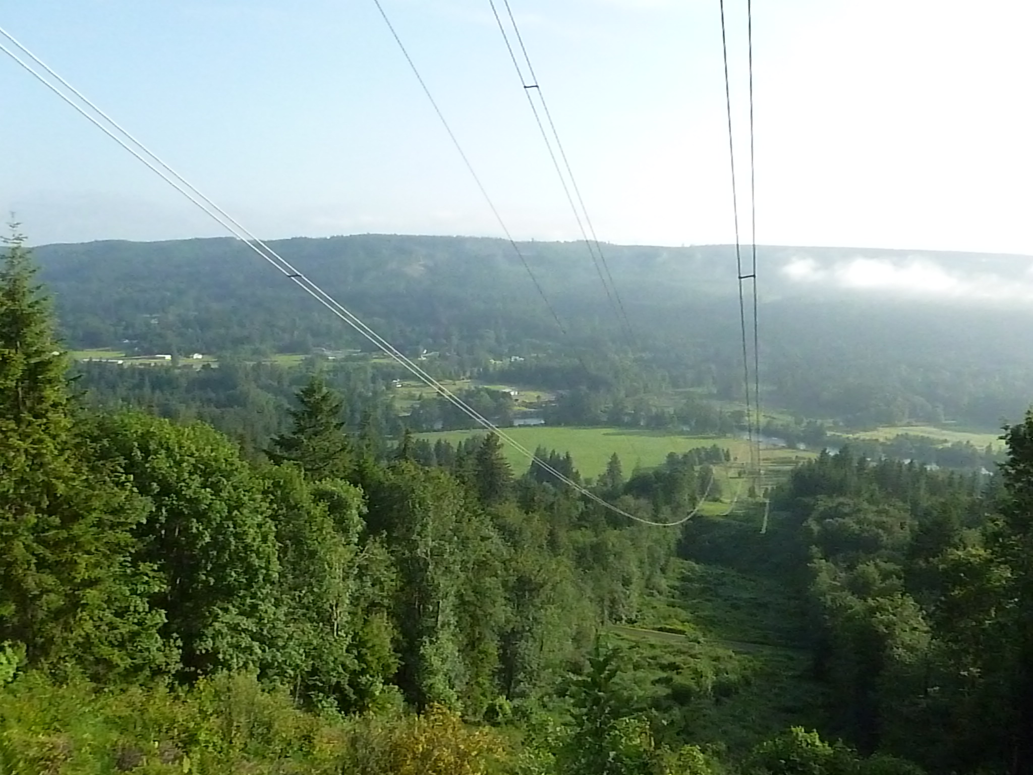
The views are excellent no matter where you turn:
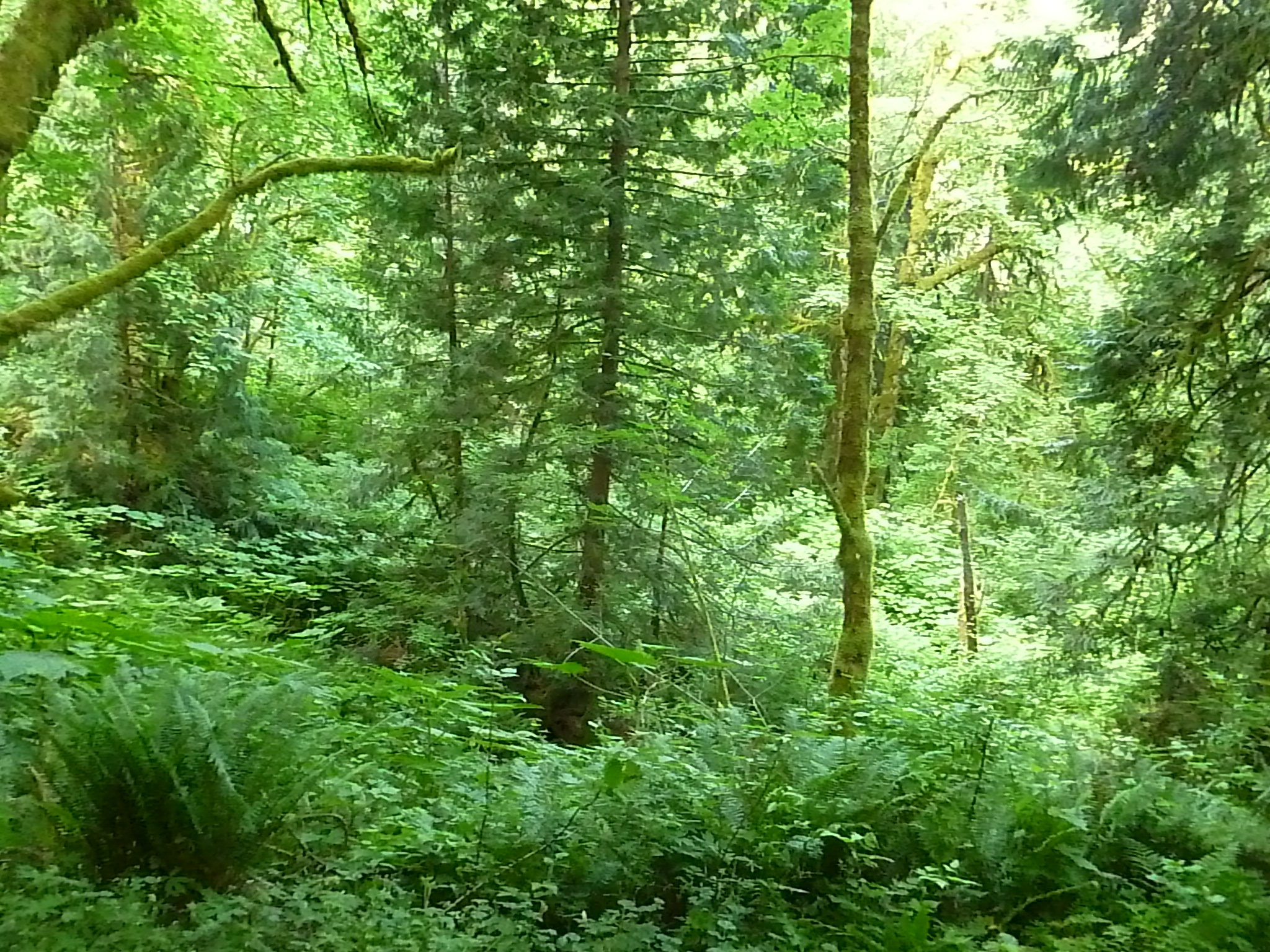
Lush fairly young forest
Thick saplings
Thick saplings
Valley view
Valley view

Pretty nice, eh?

We figure we did about 8.5 miles yesterday in about 2 hours and 45 minutes.  We figured this was a training exercise, so instead of pacing ourselves on the steep portions we just powered ahead the entire way.

It was fun.

And we planned our next two hikes.

Next Thursday, June 4, we are going to honor the fact that the new baby’s birth is imminent and that Derek sure needs to be accessible if Jill starts going into labor, so we are “just” going to do another version of the Mount Washington hike.  This time we will, at some point, do the Great Wall trail, but explore a new trail by hiking the Change Creek trail that intersects the Great Wall.

And next Saturday, June 6, we are planning a 31-mile Tiger Mountain/12 peak trek.  At no point will we be too terribly far from the car so it is doable within the exciting baby-watch embrace.

UPDATE 6/1: Derek informs me that yesterday he and Finley and some of her Girl Scout pals hiked 4 miles on Cougar Mountain, with 1,200 feet of elevation gain, and Fin hiked every step!  Kudos to Fin for a great performance.  She may earn a nice reward if she can join us to do Cedar Butte which is, come to think of it, probably easier than what she did on Cougar.

Mt. Si via back door and Mt. Teneriffe – 5/25/2015

disc at summit
Disc at summit

This time we made it to the summit of Mt. Teneriffe, but not via Kamikaze Trail.  We did, however, discover where that trail intersects the main trail, and we chatted briefly with another hiker who had just ascended via that route.  We also explored it from the top for a little way down and decided that, as we thought, it would be a nice way to ascend but we will descend via the main trail.

We got to the Mt. Teneriffe trail head just a bit after 6AM.  We were the first car there.  We went up the main trail, passed the sign for Teneriffe/Kamikaze falls and continued to the Mt. Si summit – just below the haystack.

Derek went a ways up the Haystack but wisely decided to defer the final ascent to another time:

Derek on the Haystack

As for me, I will let the young and the trained climb the haystack.  It is out of my league.

The trail itself for most of the way is in excellent and recently upgraded shape:

Nice trail
Nice trail

We hiked down from Mt. Si and then across an interesting spur and up to the summit of Teneriffe.  It is a great peak.  Like many of the mountains around here you have to scramble to make it to the very top but this one is doable even for old guys like me:

Final Teneriffe scramble

And the view from the top is awesome!

Mt. Teneriffe summit
Mt Teneriffe summit

Derek at the summit

Derek at the summit

Our maps said we hiked about 15.8 miles, our GPS put it closer to 14.8 miles.  We had thought about extending it to 18 but time was not on our side.

We are planning a 31-miler on Tiger Mountain, tentatively set for Sunday, June 7.  We figure about 17 hours on that one, as it goes up and down 6 mountains twice each.  Fun!  We may do something shorter but steeper between now and then as an extra training workout for our legs.

Looking forward to the big one and to the imminent arrival of Derek and Jill’s new son,  Finley’s baby brother on or about June 16.

5/17/2015 – Cedar Butte and Sallal Point trail

Iron Horse Sign
Where are you going today?

I was back at the upper Rattlesnake Lake parking lot today with a plan to investigate Cedar Butte and Sallal Point.  Plan accomplished but my explorations today revealed quite a few more trails to explore.

You gotta love this place!

Cedar Butte is a fairly benign (2 mile round trip, 800 ft elevation gain) prominence about a mile down the Iron Horse trail from this sign.  I wanted to explore this to see if it is as family-friendly as it seems from the written descriptions.  I think it is a hike we can do with Jan and Jill and Fin (and ultimately, the little guy who is due to arrive on or about June 16).

It definitely is family-friendly but I don’t think I actually found the summit.  I was wandering around looking for a rumored new trail from Cedar Butte to Mt. Washington and I went up and down and around a couple of times and found myself mysteriously back on the Iron Horse trail.  I looped around without realizing it and rather than start over, I decided to re-explore this nice little trail some other time.

So I took off towards Mt. Washington, which is about 1.7 miles past the western trail head for Twin Falls (see sign above).  Sallal Point intersects the Mt. Washington trail about 1.5 miles from the trail head:

sign
Sign for Sallal Point trail

Derek and I have seen this sign many times and always wondered what it is.

Well, what it is is a nice trail for sure.  Derek has the Garmin (he is figuring out how to use it) so I figured I would just stay on the main Sallal Point trail, which I did, but I noticed three tantalizing trails heading up (towards the right) from the main trail.  I am sure we can investigate these at our leisure.

They are steep, and I do mean straight up!

The trail I was on seemed to run out after a healthy little scramble:

The end
This is where I ran out of Sallal Point trail


So I unwrapped the trekking poles to help me down and back-tracked to Iron Horse again.  What a nice trail the Iron Horse is.  You see horses:

Horses
And there are plenty of non-iron horses on the trail

And bikers:

Bikers
Iron Horse is great for bikers

And, just go a little ways off-trail and you can see evidence that other creatures share this environment:

Bear shit
“… in the woods”

My Boeing On The Move pedometer registered 33, 325 steps from car back to car, and adding up the dots on the map I figure about 15 miles today.

Not too drastic, far from extreme elevation gain (but just try the first 1.5 miles of Mt. Washington, it is a good conditioning hike), but very worth it.

There are numerous trails and mysterious paths intersecting Iron Horse and I will check out as many as I possibly can.  One little path led to a little stream smack next to old railroad rails:

Nice little waterfall
Just off trail


Iron
Iron just off Iron Horse Trail


Next weekend I will be on a golf weekend in eastern Washington, returning Sunday,  but Derek and I are planning a hike on Memorial Day.

And Derek: by the way, I believe that Mailbox Peak road is open from 3:30 PM Friday to 7:00 AM Monday so maybe we can test our legs and cardio fitness on Mailbox really early some Saturday or Sunday.

5/12/2015 – Kamikaze (Teneriffe) Falls

Fin in front
Finley’s birthday presentation

After the hike we had the extreme pleasure of visiting Finley’s kindergarten class to attend her birthday presentation – her sixth birthday was yesterday, May 11, 2015.  Happy Birthday Fin!

But the hike itself can only get mixed reviews.

On the one hand, we got to see an impressive waterfall close up:

Kamikaze Falls
Kamikaze Falls

And from different angles:

Kamikaze Falls
Another view of Kamikaze Falls

The good news about the hike is that we did get to do some very challenging sections, as for instance climbing up the side of the falls:

Falls
Interesting trip up the falls

Ultimately, though, we arrived at a bit of an impasse.  We could see something faintly resembling a trail on a spine that appeared to lead to the summit of Mount Teneriffe, perhaps 2,000 feet above us.  Very rocky and steep but it did look like something we could ascend.

However, descending, given the time constraint (we did NOT want to miss Fin’s presentation) seemed a bit iffy.  We decided to go back down and try to figure out a way down from the summit for a future hike.

More looking at the map and GPS (which is newly arrived and not easy to figure out) led us to believe that we definitely could have summited along that spiny unmaintained trail, and that there is an alternative way down.

Tomorrow, 5/13, Derek is going to investigate a trail we sampled on the way down to see if it does in fact lead to Teneriffe’s summit.  If it does, we are in business and will re-trace our path one of these days, but next time to the summit.

In the meantime, the hike had its very nice magical moments:

Rainy Day
Sometimes a rainy day shows itself off

And this:

Typical Kamikaze Trail condition

Much of this trail looks like that.  It’s a fun trail, and we will be back.

And if Derek makes it to the summit tomorrow, look for a photo from up there, a great 360 view for miles around.

Any day that is capped off with a visit to Fin’s class is a memorable day indeed.

5/7/2015 Great Wall to Mt. WA summit (once again)

Mailbox
Mailbox Peak from Mt. Washington

Our plan today was to hike Mailbox Peak (there it is) but the road to the trail head was under construction and a very nice but very firm highway worker told us to scram.

So we came up with a quick plan B.  We went four miles farther east on I-90 and, once again, found ourselves in the parking lot from which most hikes up Mount Washington are launched.  And we decided to do the Great Wall trail again, but this time make the final turn correctly.

Which we did.

Sunny day
Sunny day on a shady trail

70 degrees, perfectly sunny, absolutely perfect weather.  And when you are hiking through a forest, the sunny weather creates some awesome interplays of sun and shade.

Check out the final sentence in the 2nd episode of Joyce’s ‘Ulysses’ and multiply it by several miles and you will get the idea.

Speaking of forest, it has its own attractions:

woods
The woods have their own beauty

View after view makes it difficult to choose a winner but this one is pretty nice: (good eye, Derek!)

great view
Behold the view

The Great Wall is an exceedingly impressive wall of rocks and trees:

lone tree
lone tree

Every time you get a nice view of Mt. Rainier from the summit of this mountain the view is different.  Infinitely interesting:

Mt Rainier
Mount Rainier looks different every day

Looking at the map and adding the distances as best as we can we figure our hike today was about 12 miles.   And we did it in about 4:45 – not exactly running, but given the elevation gain (about 3300 or 3400 feet) not bad.

Our next hike is scheduled for Tuesday, May 12 and we are aiming at Mount Teneriffe.  With just a little luck we will have the Garmin eTrex 20 I ordered last week and we will be able to map our route and gather all the statistics – groovy!

UPDATE 5/10/2015 (Happy Mother’s Day)

Removed video link 5/11, just too much hassle.