Little Bandera Mountain 11/28/15

Lots of these birds on Bandera

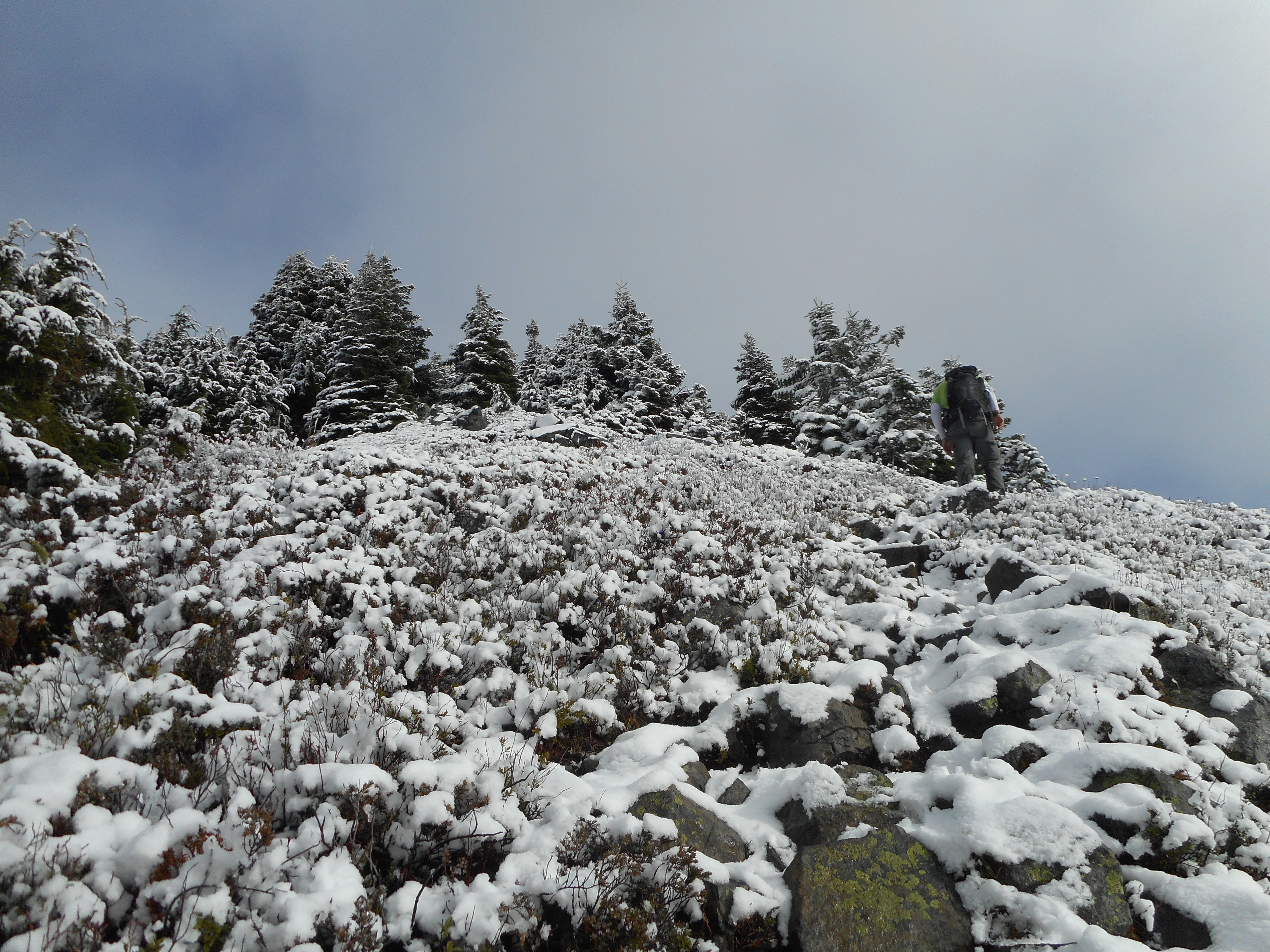
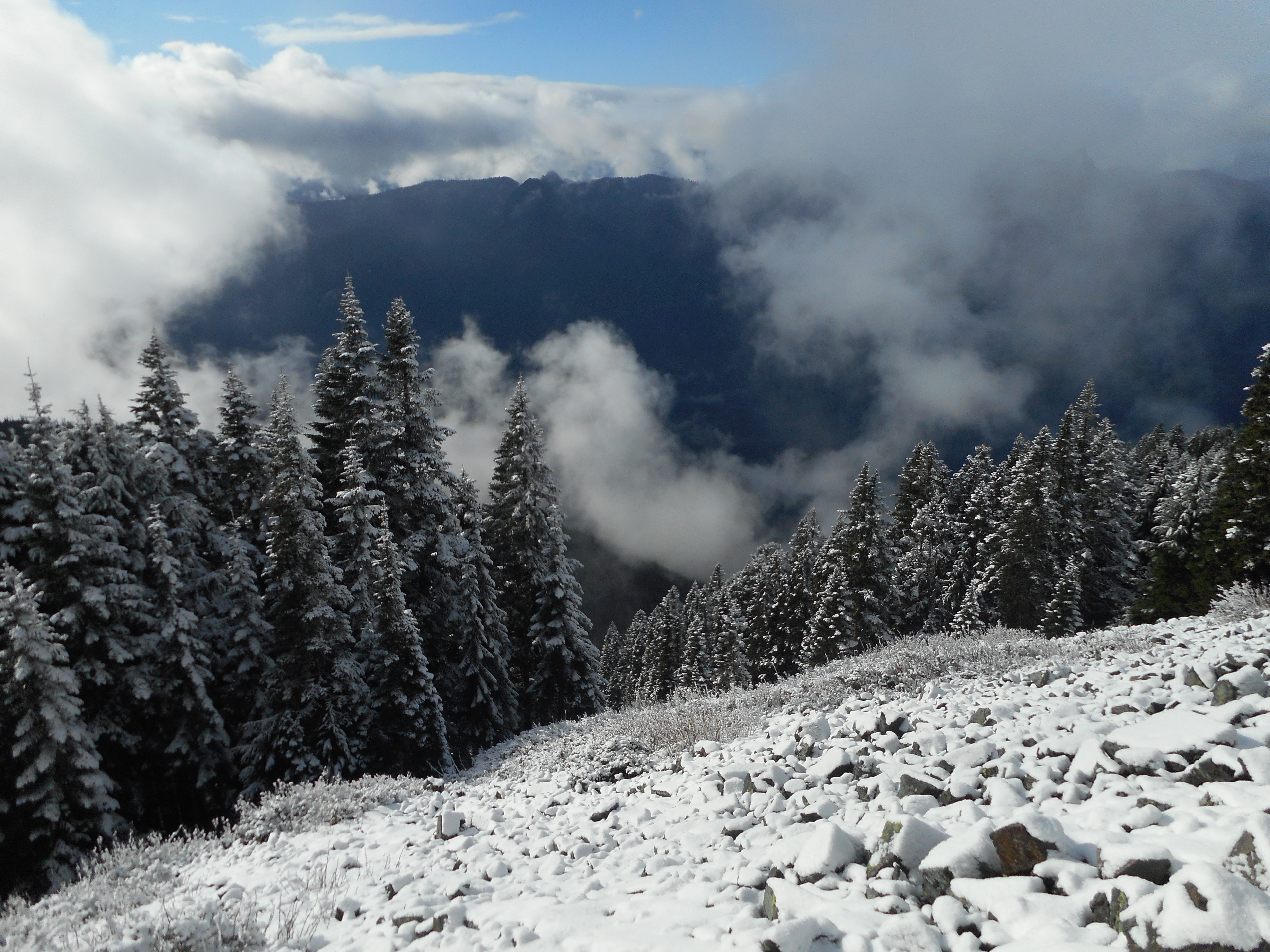
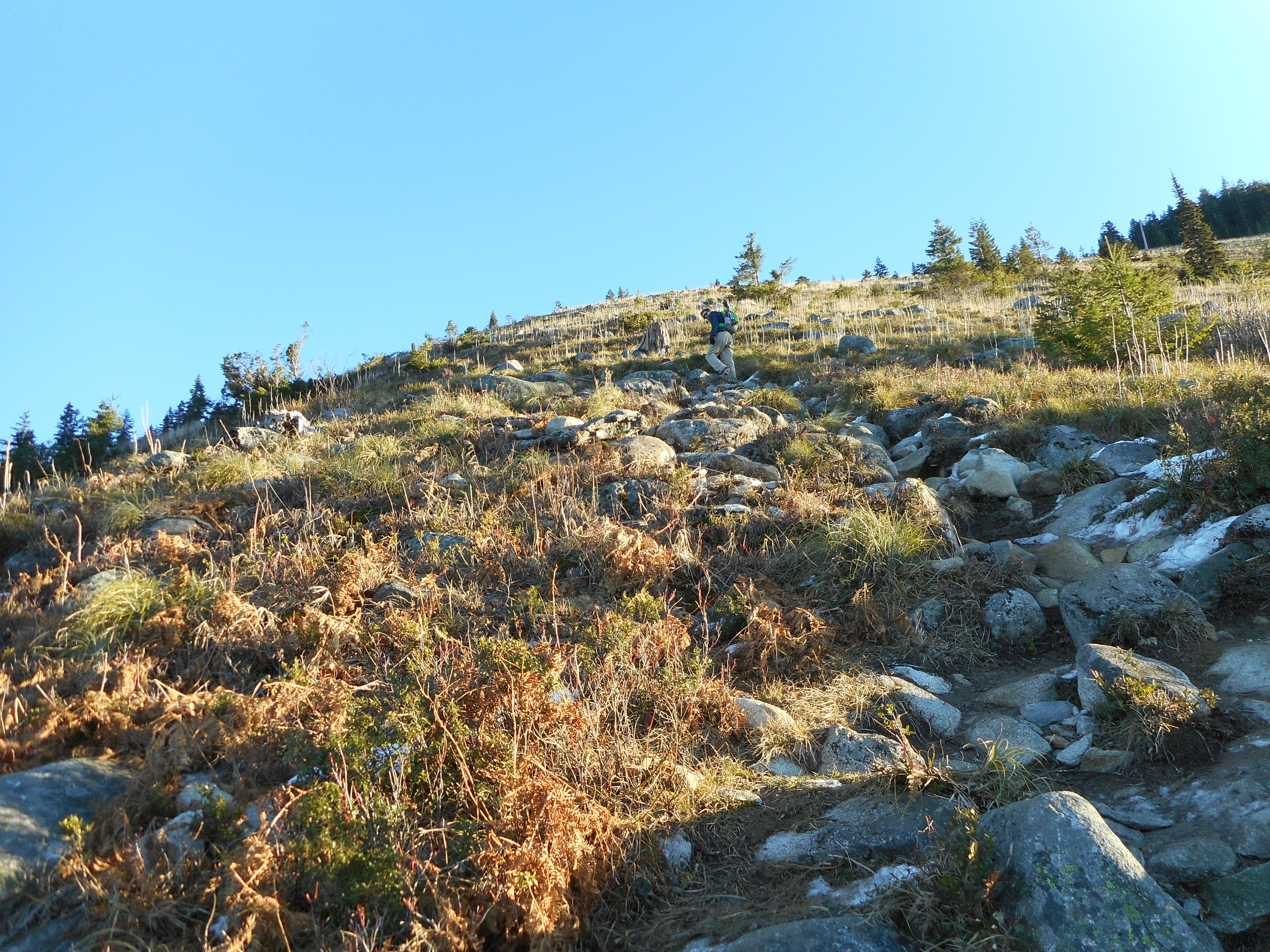
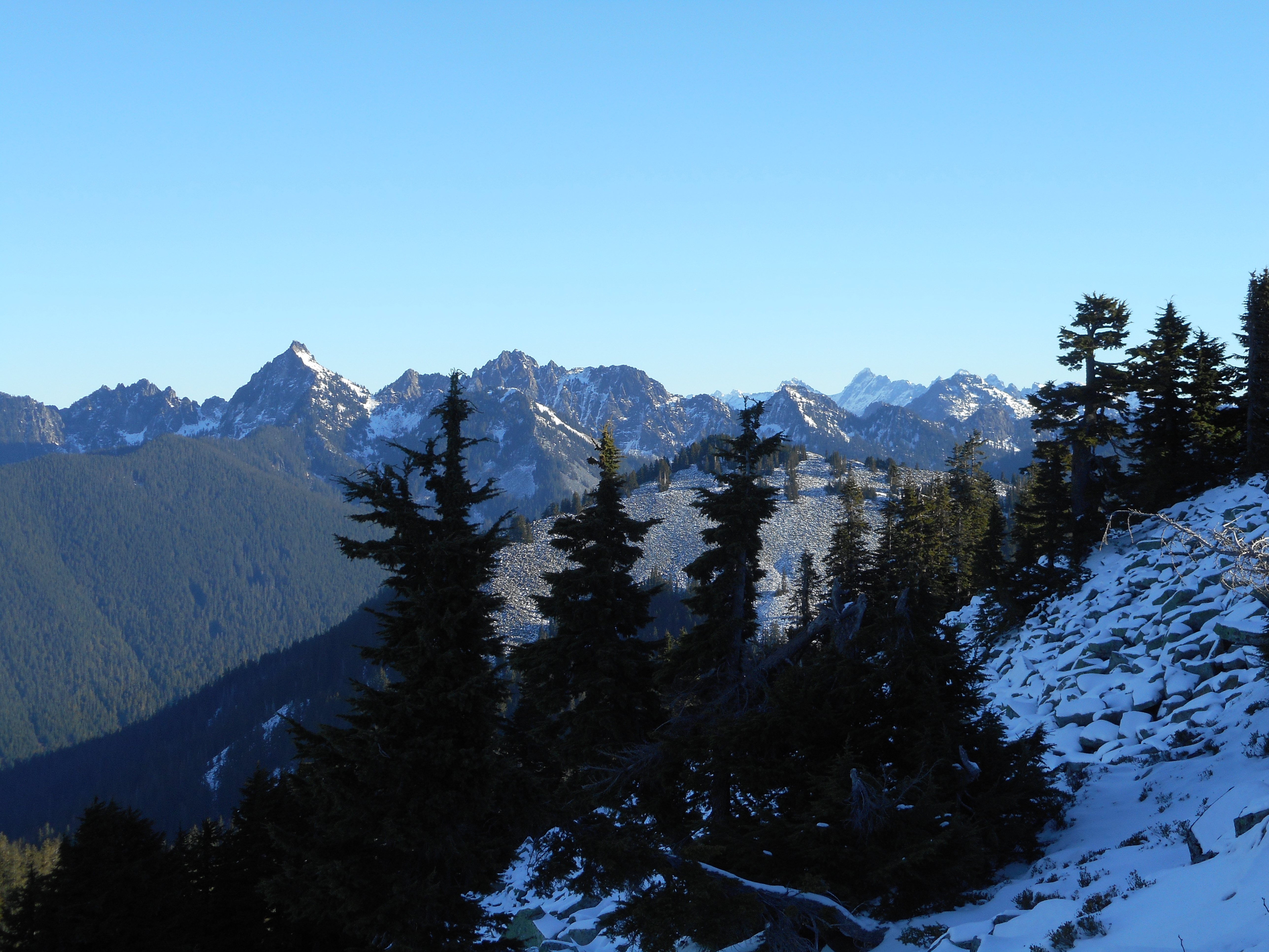
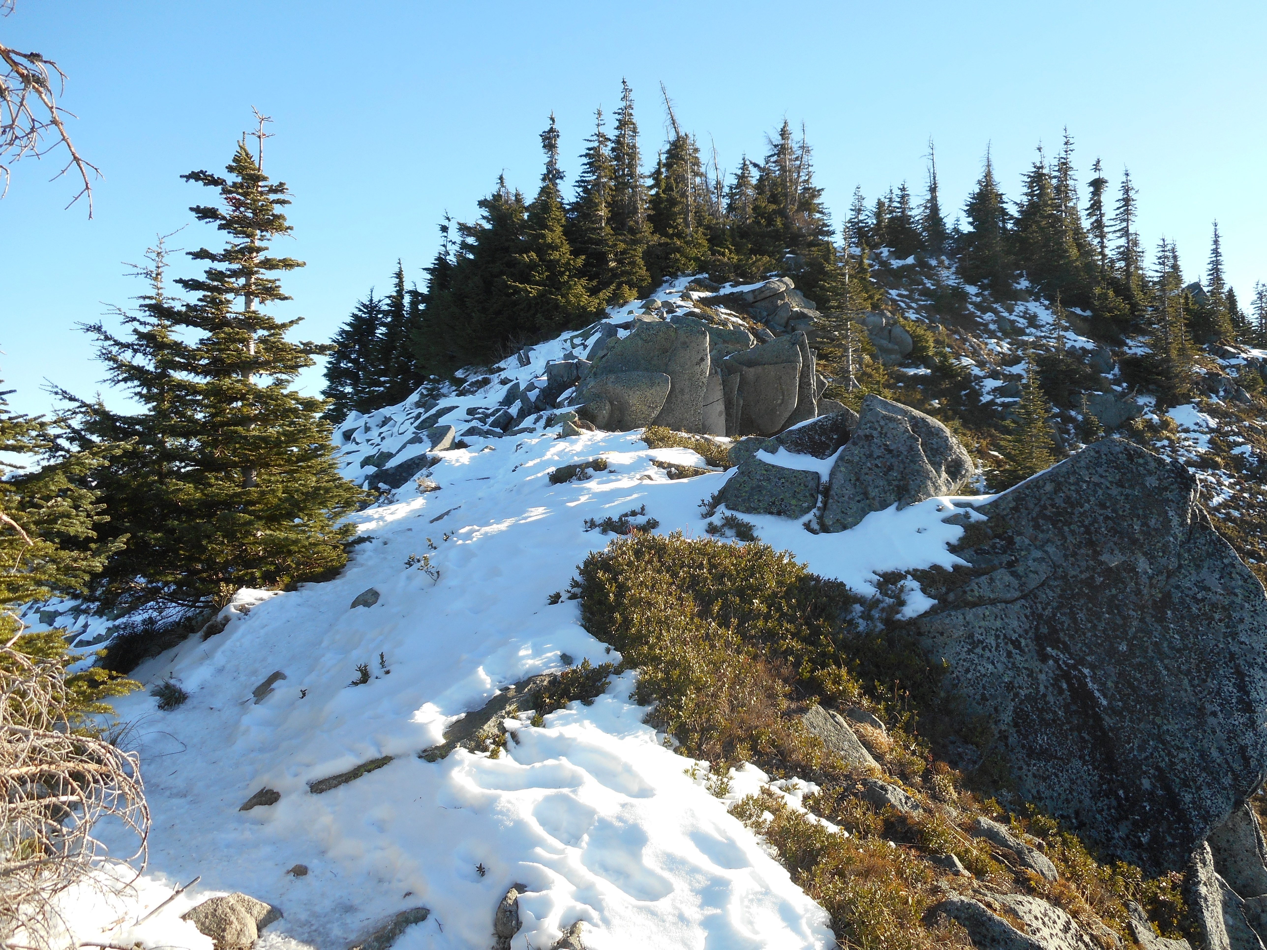
Derek made it to the top.  My legs, just pooped enough after Thursday’s hike, gave out just short of the summit.  I sat down on a rock and said I was done going up.  A few minutes later I had enough gas in the tank to go a bit higher, but by then Derek was coming down.

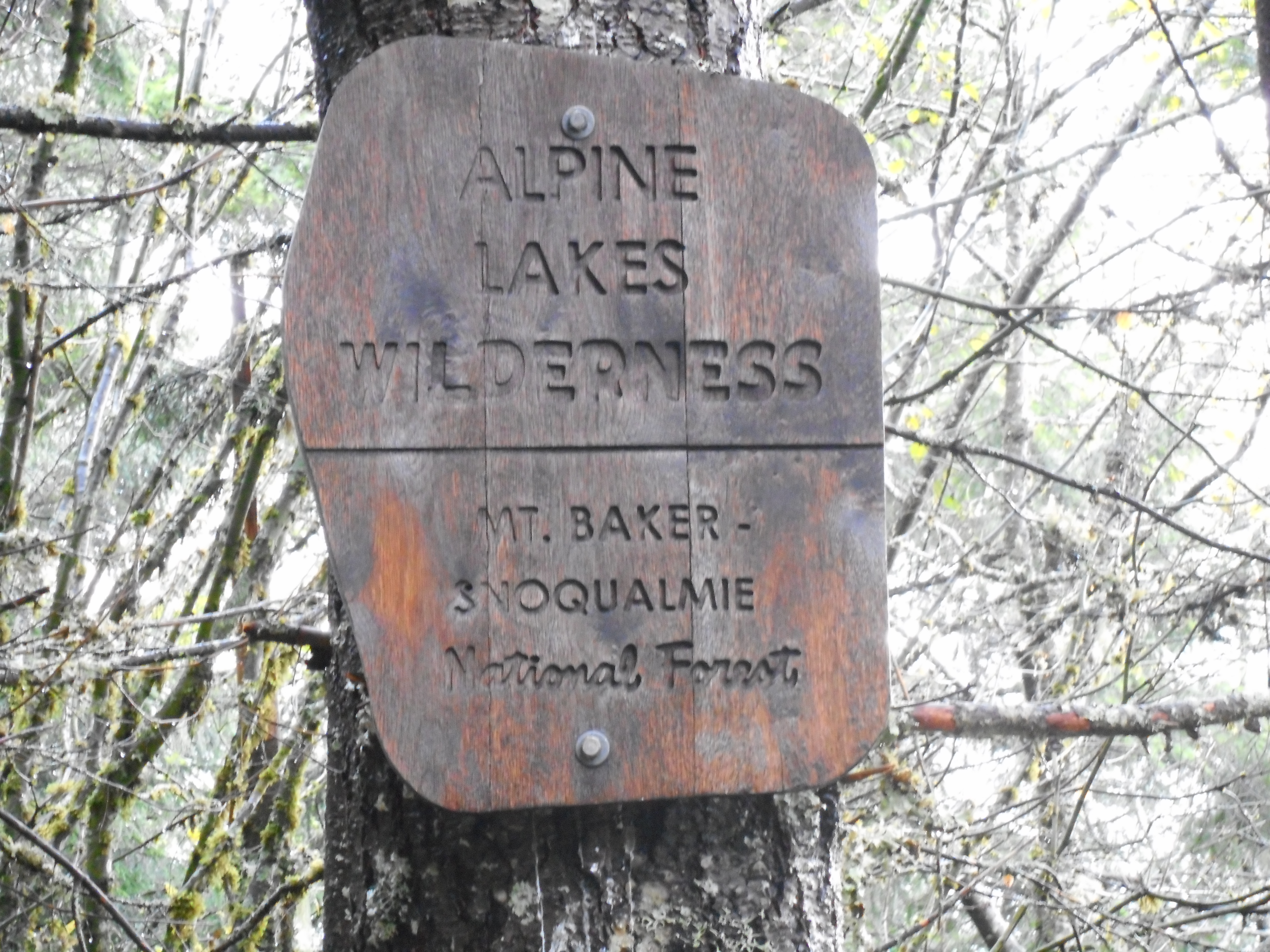
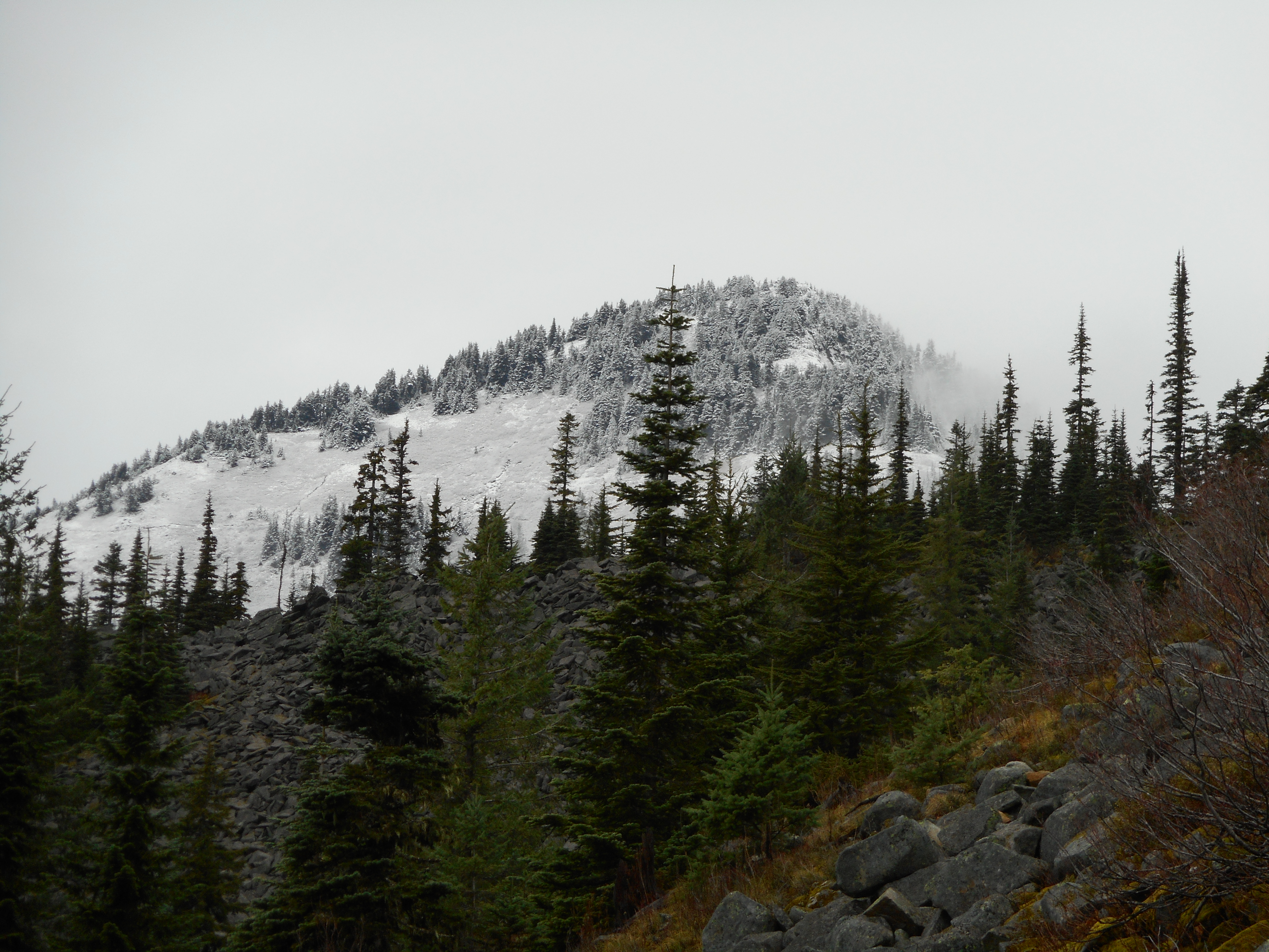
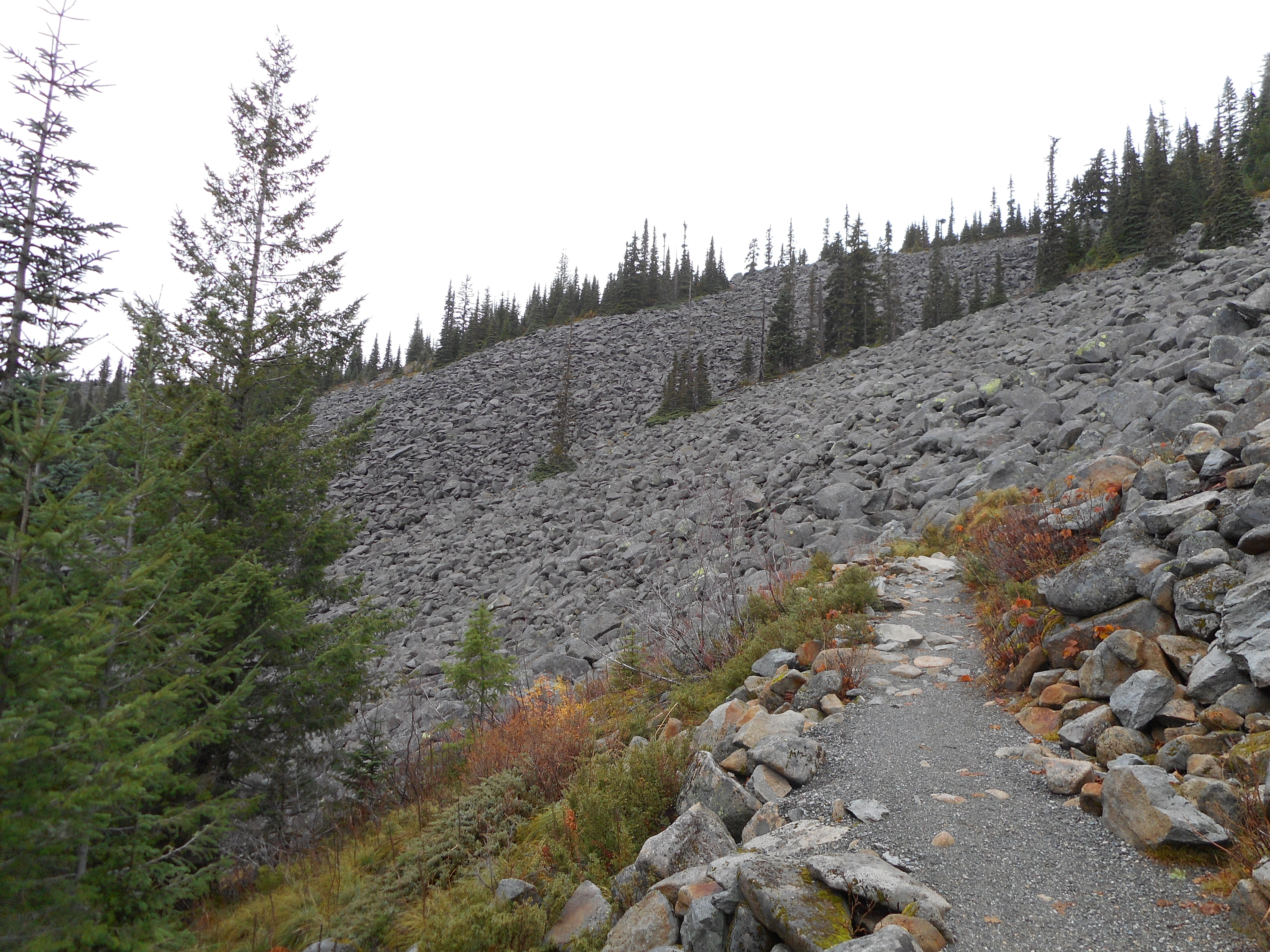
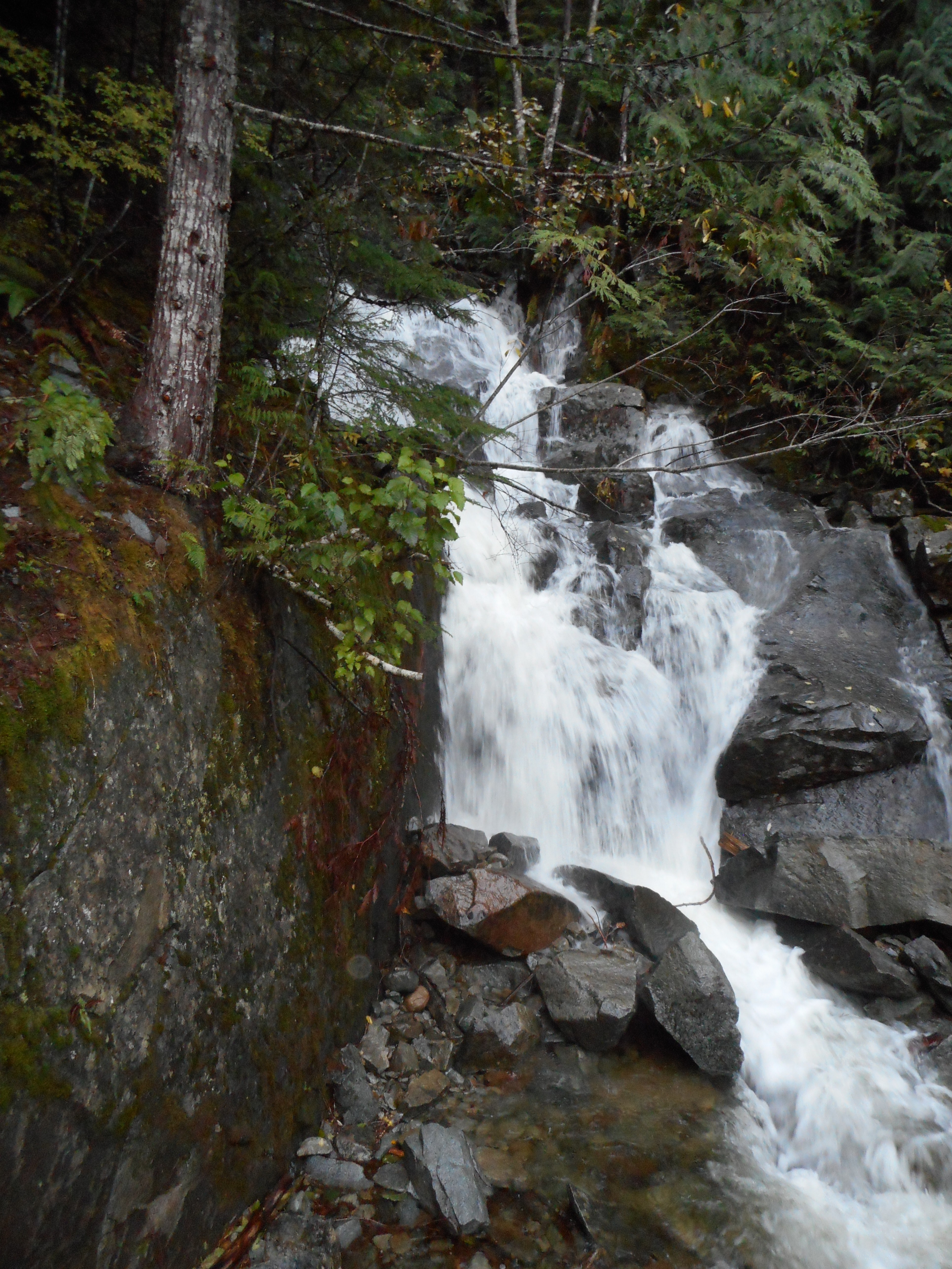
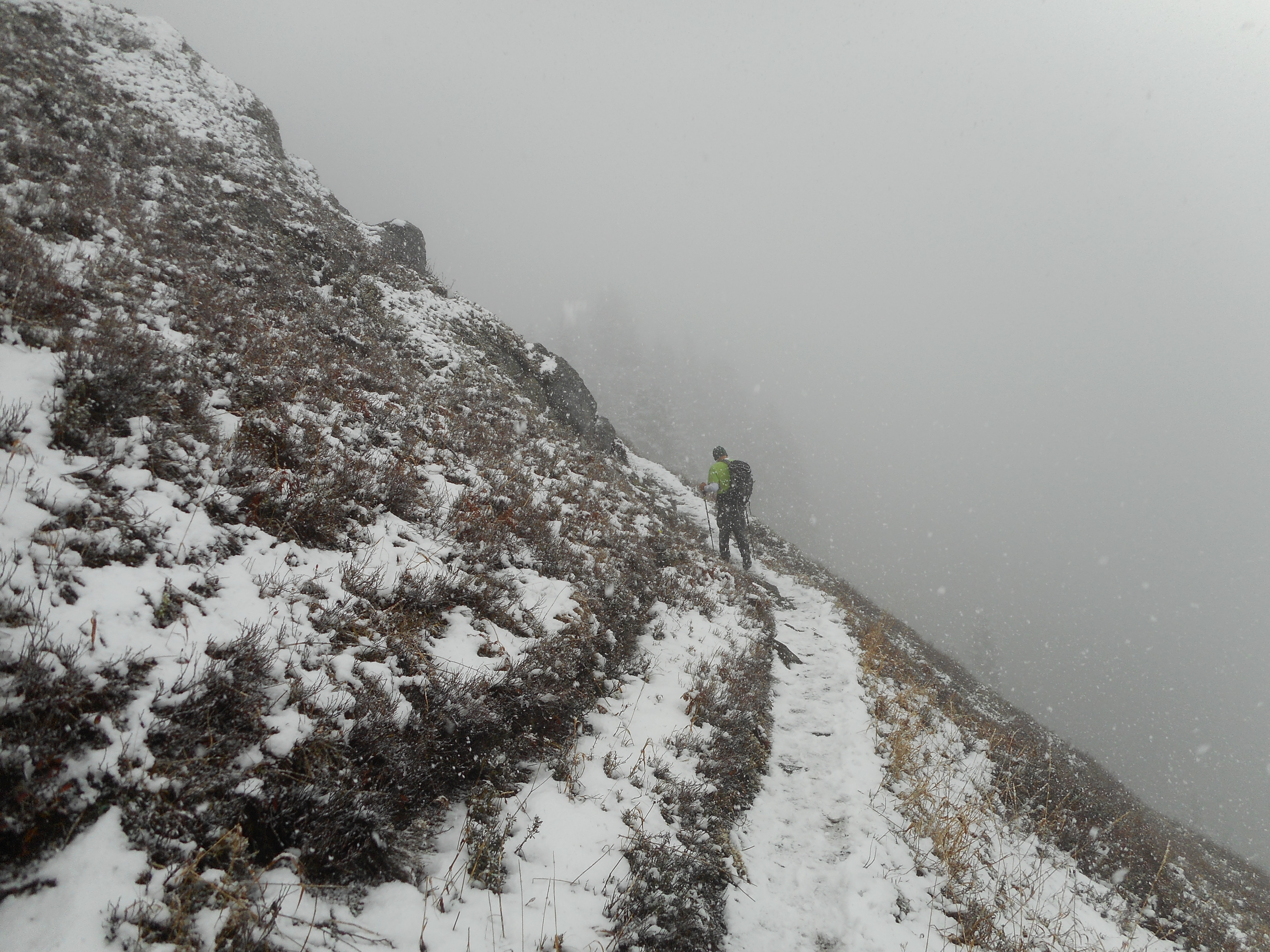
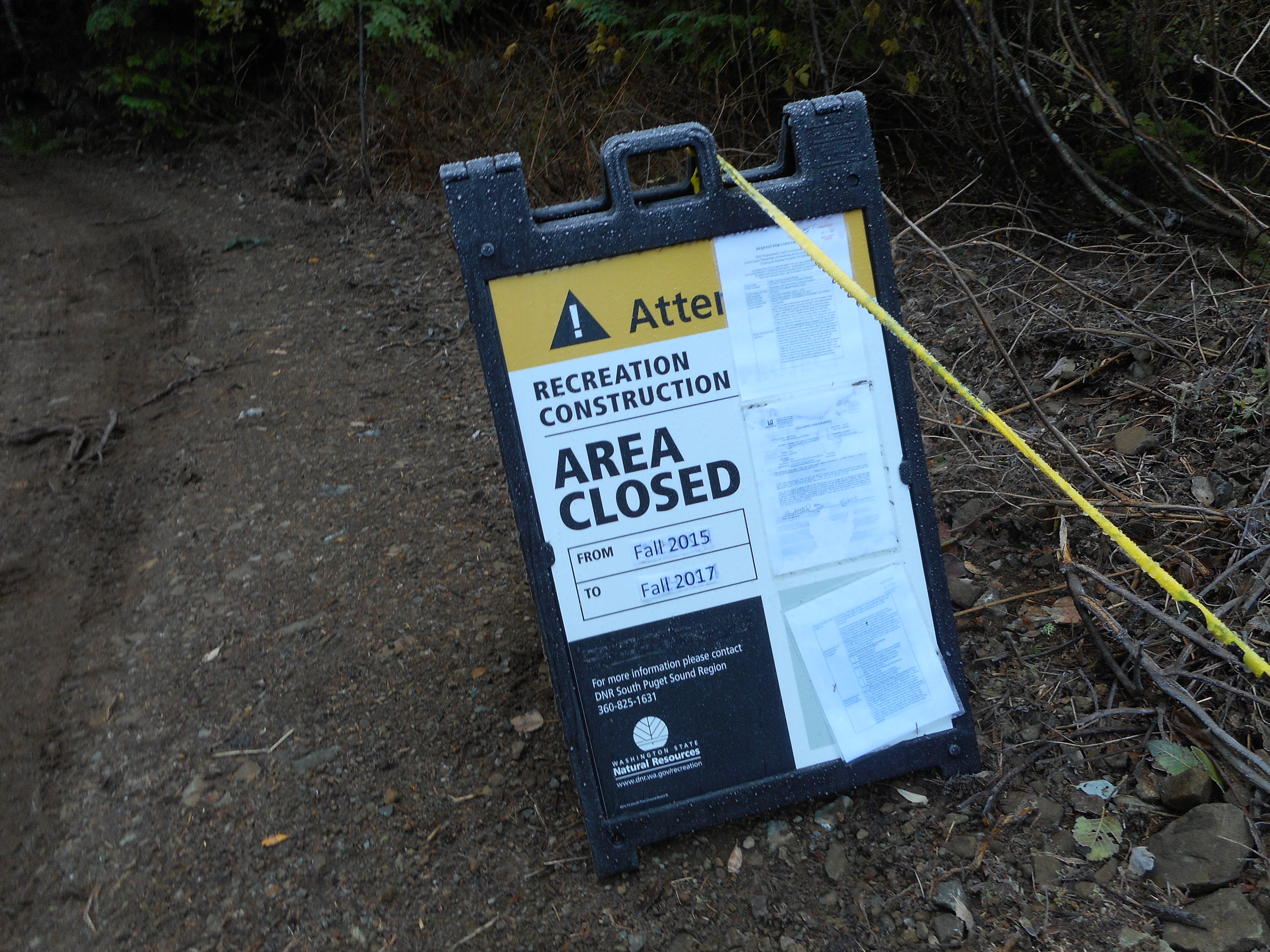
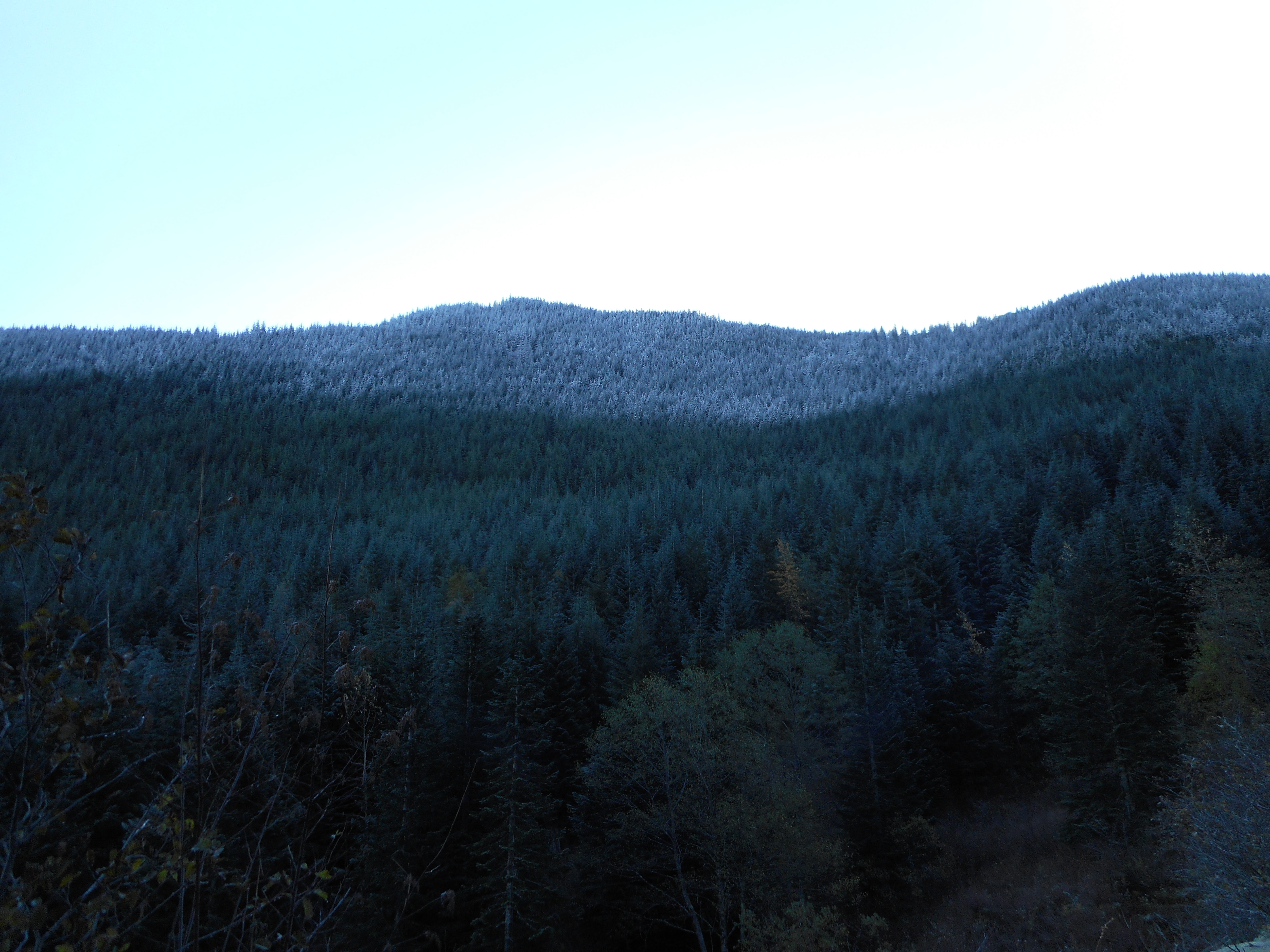
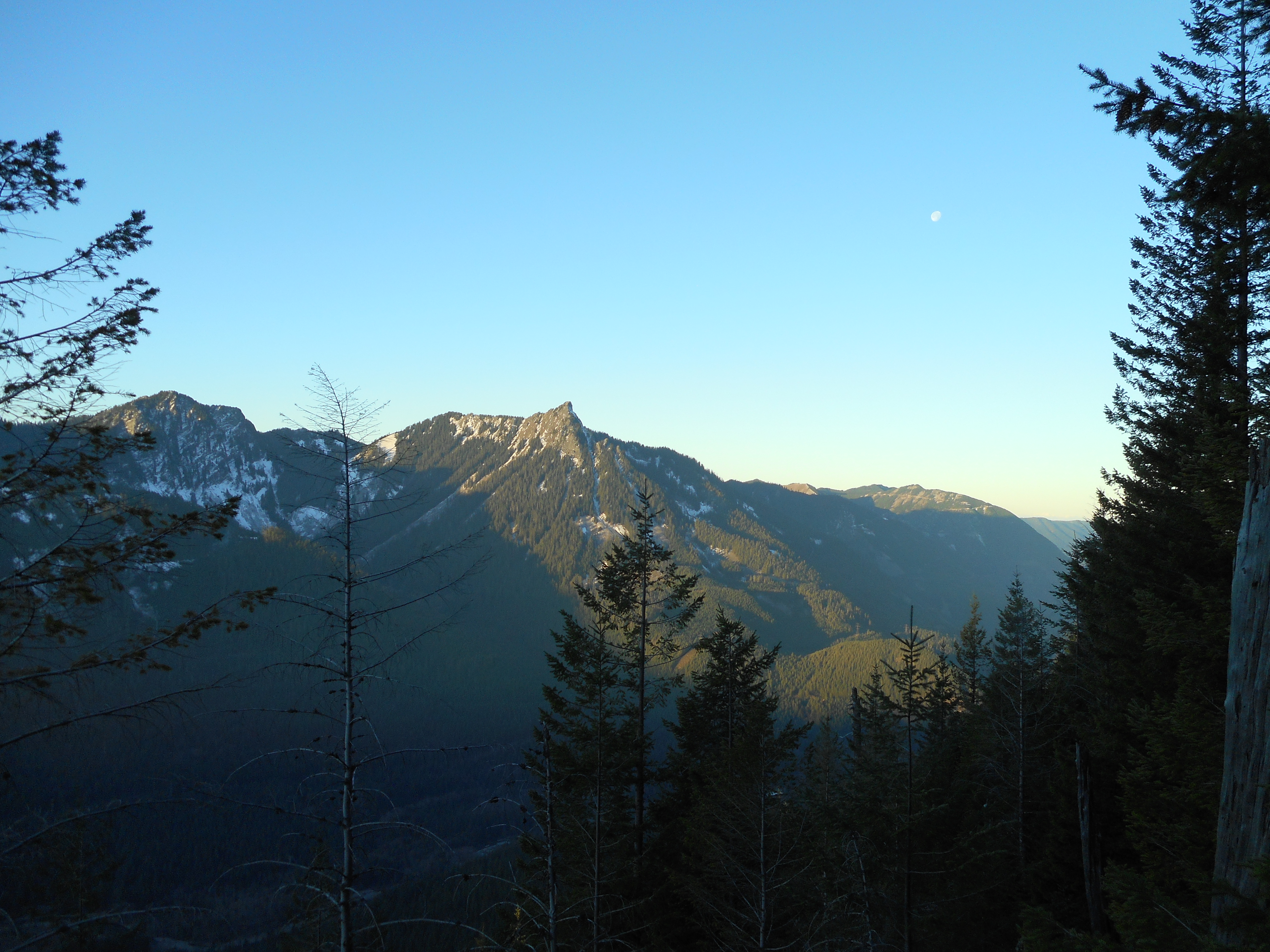
This hike starts at the same trail head (Ira Springs) for Mt. Defiance, but about 2.5 miles up the trail splits.  We took the “Bandera” path today and from that point to the top it is steep, then steeper, then steepest.

Tough going
Tough going

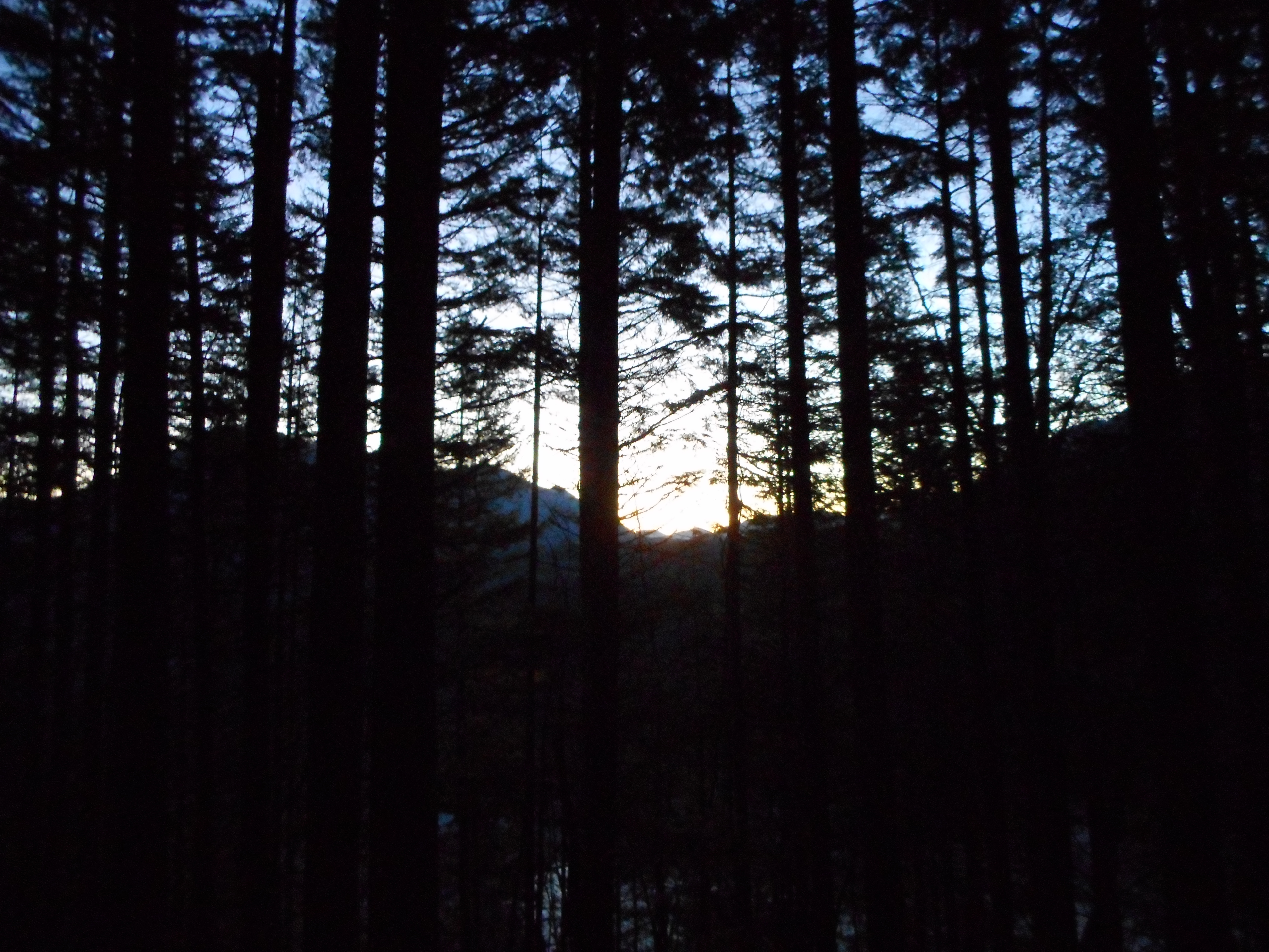
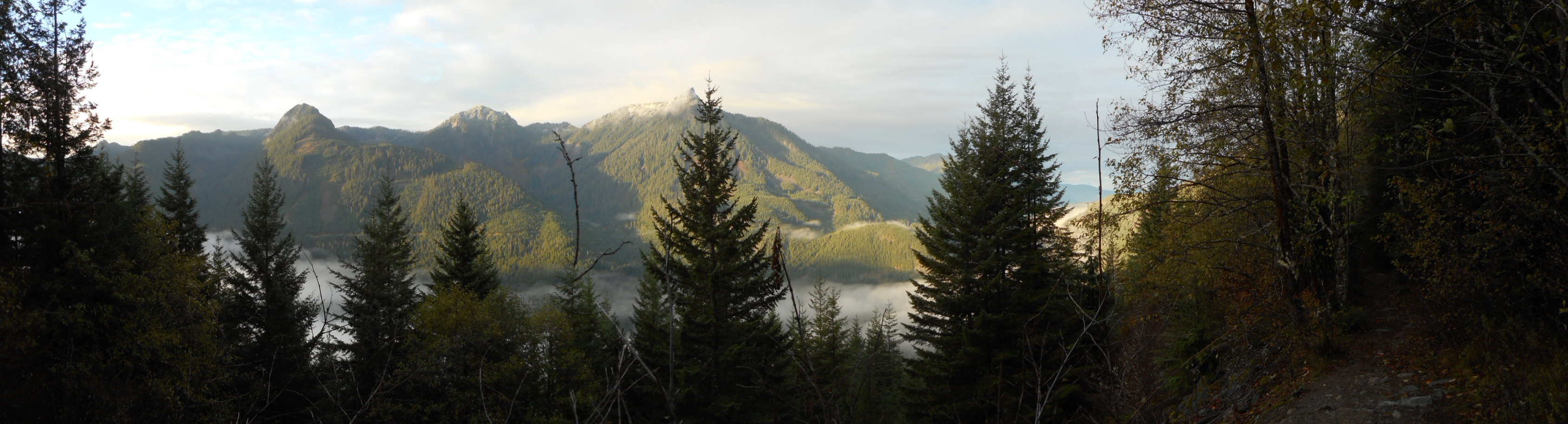
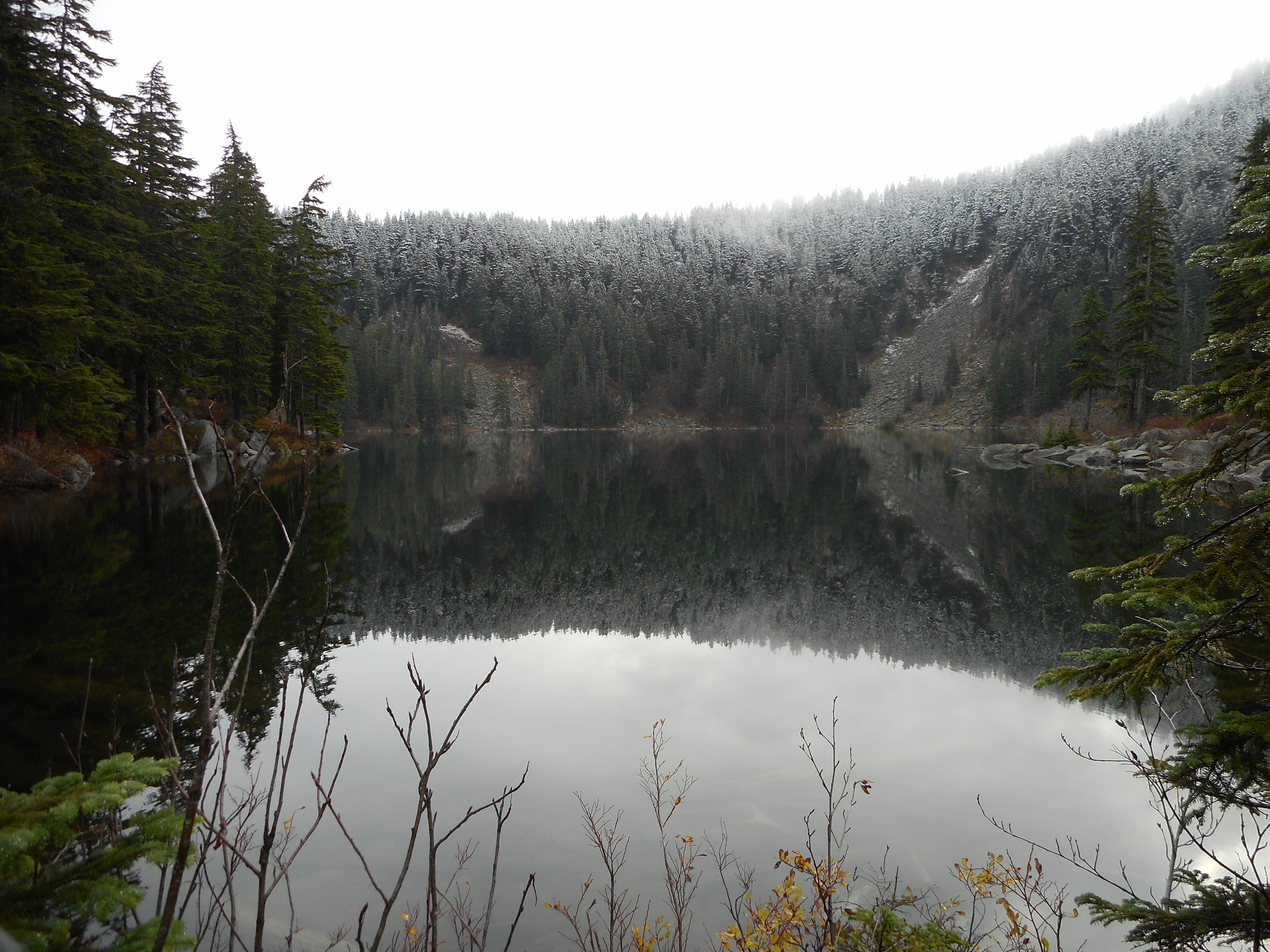
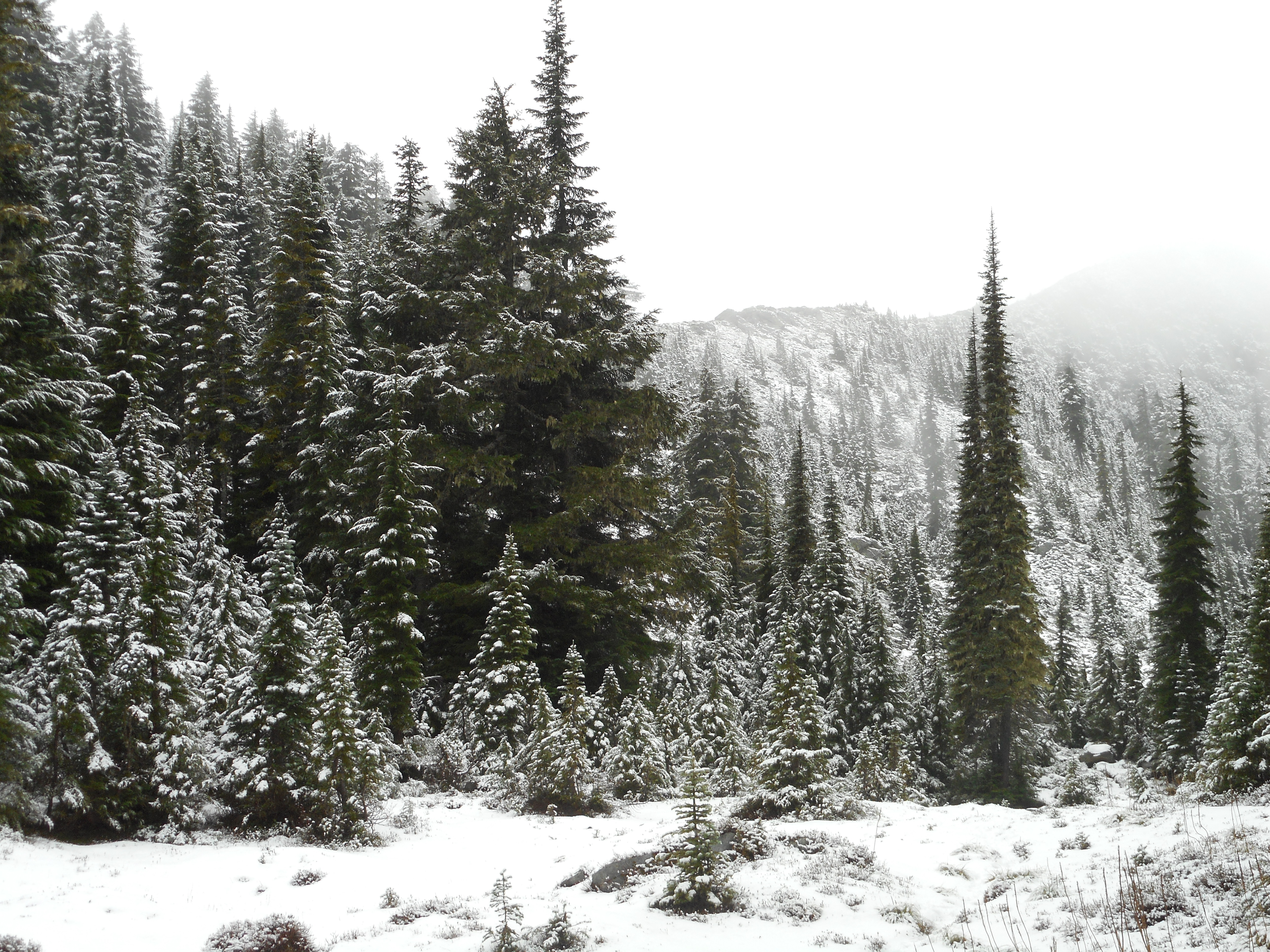
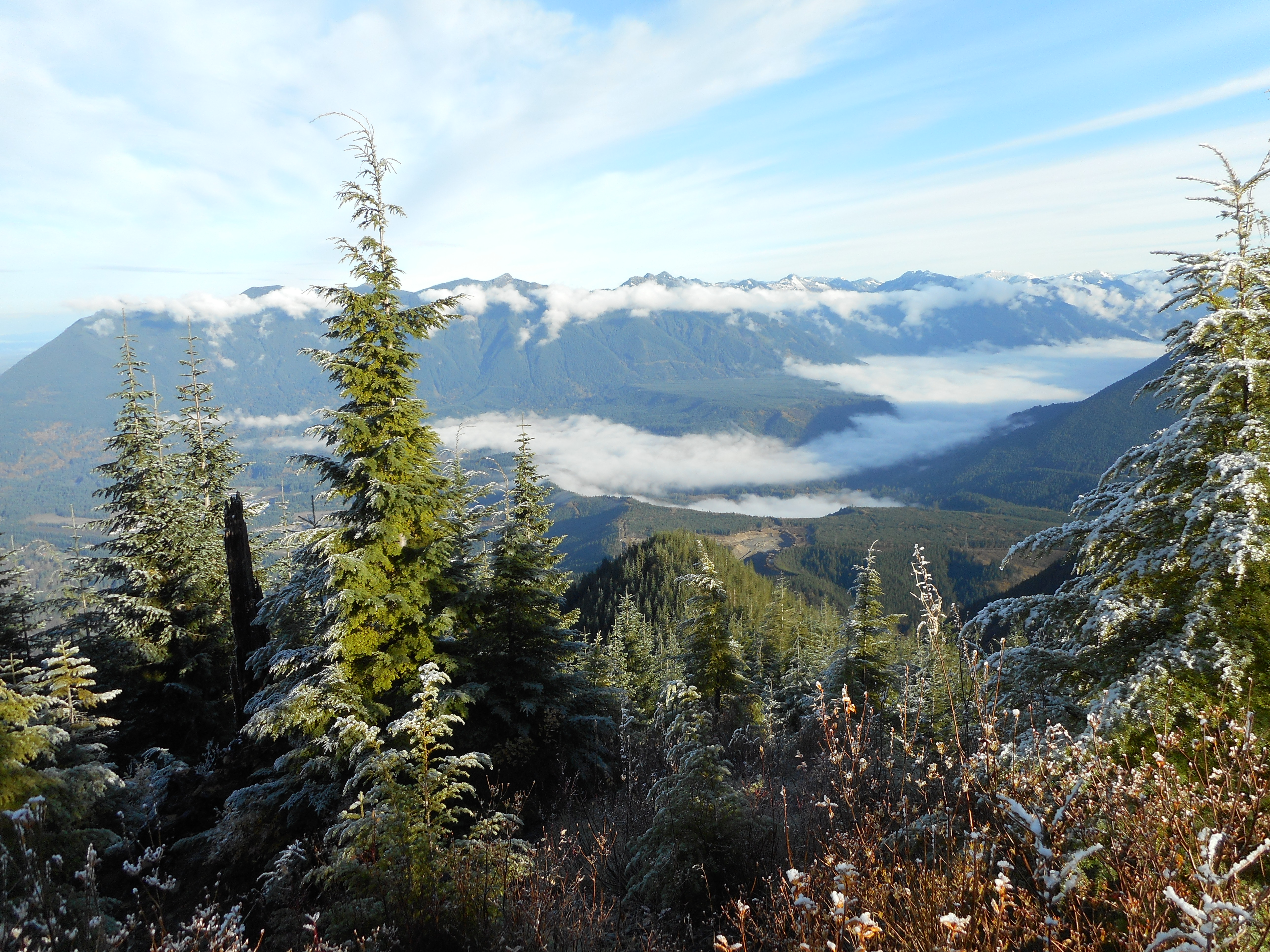
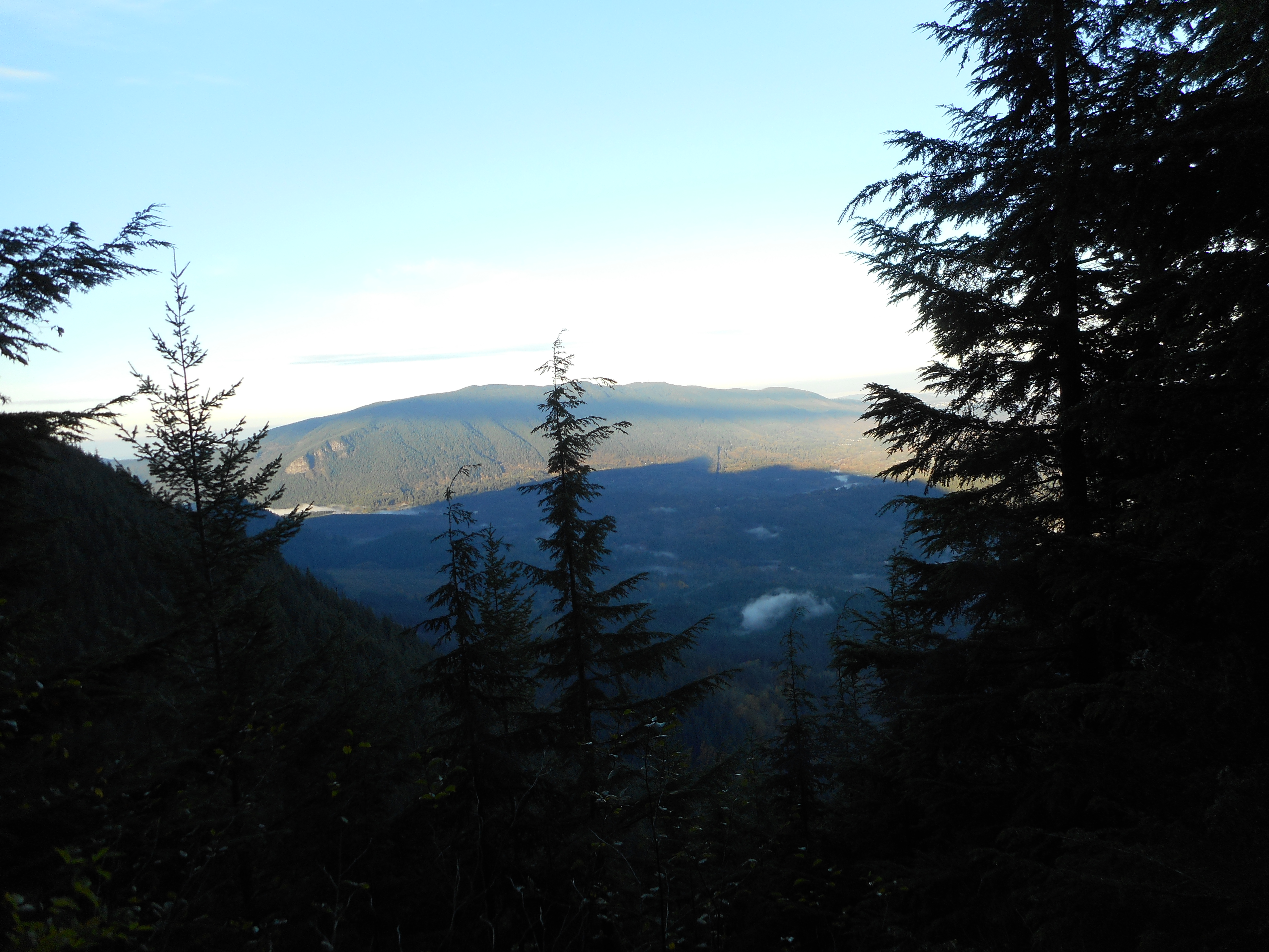
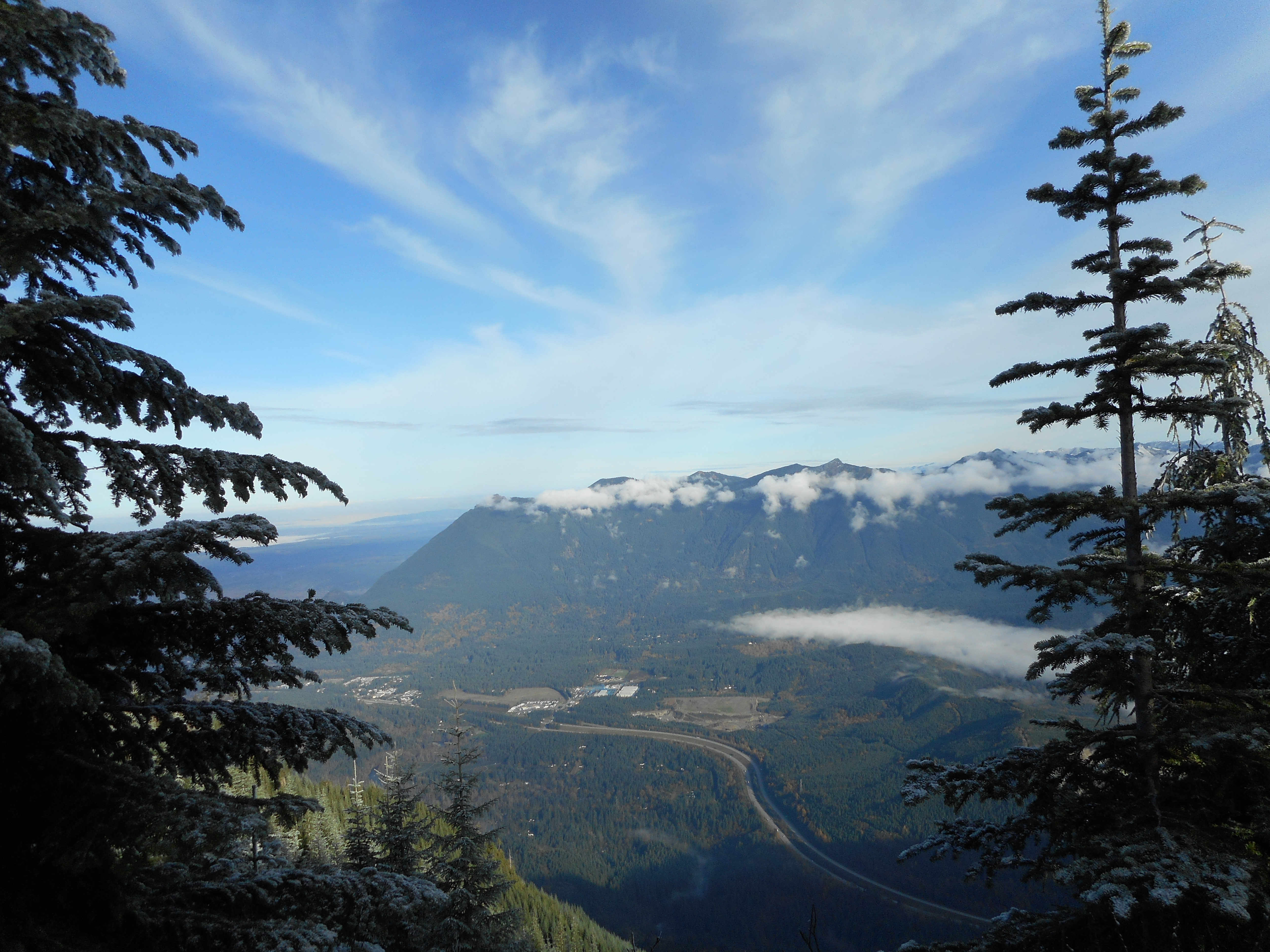
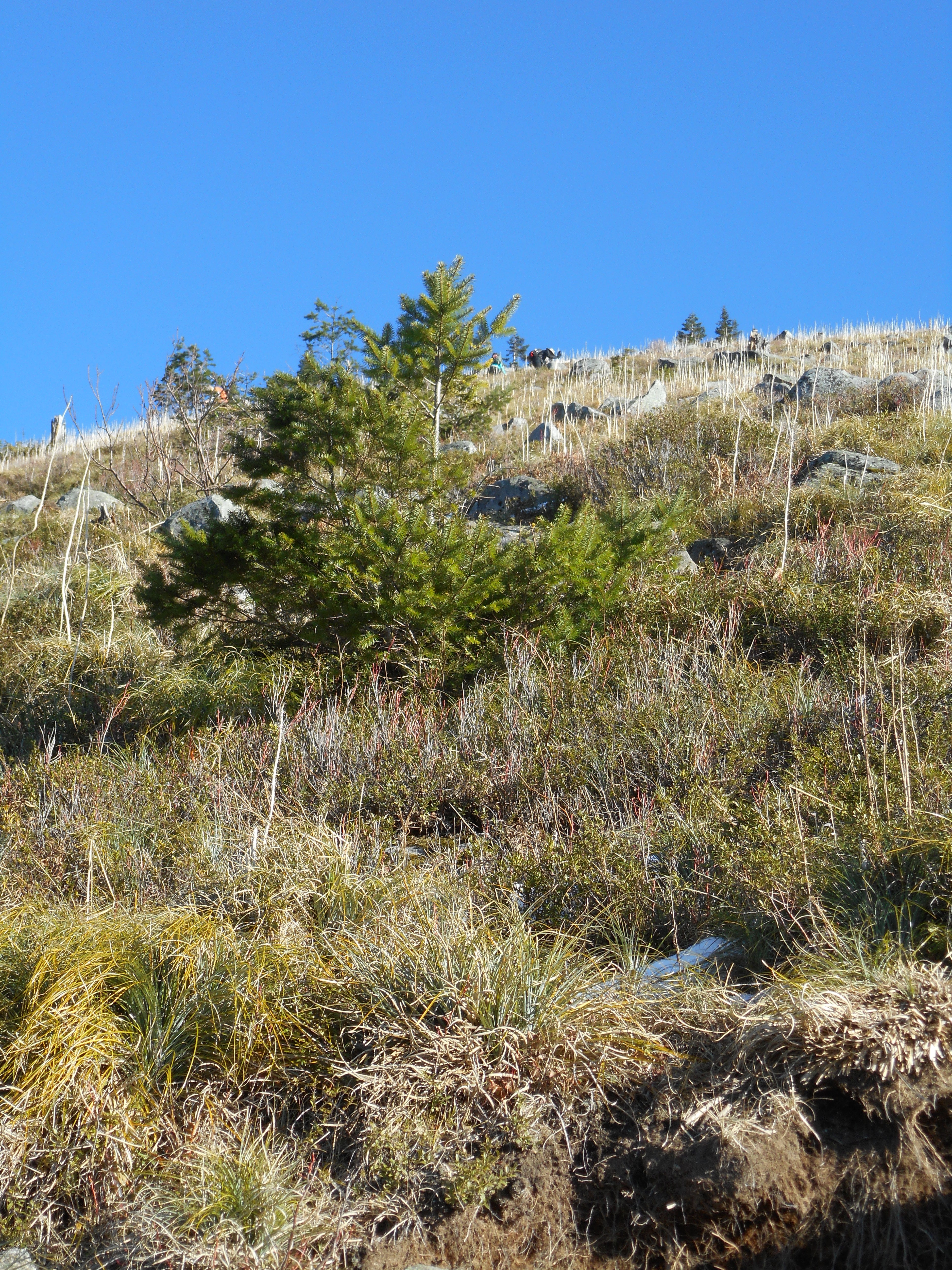
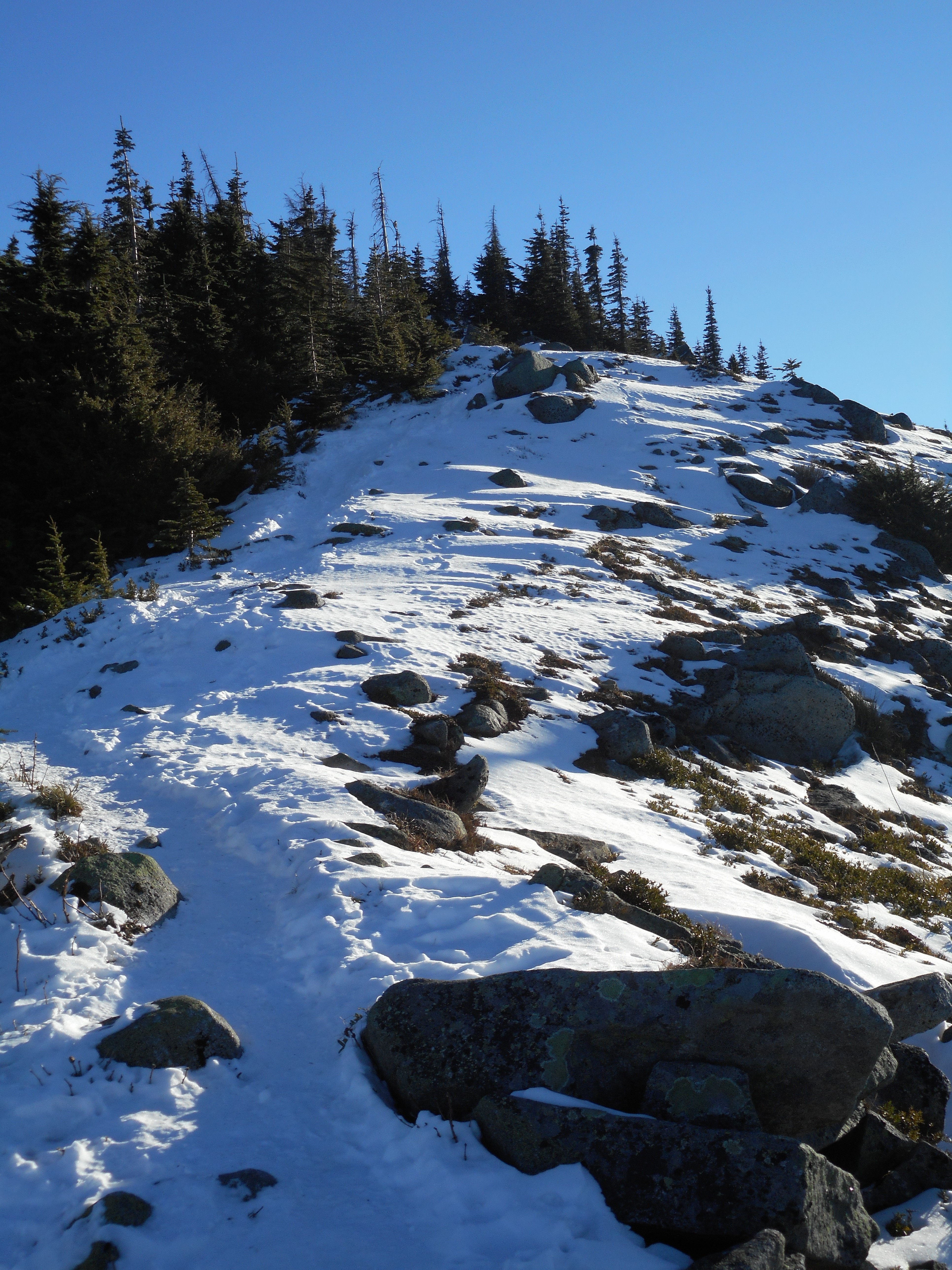
It is hard to capture in photos but the one above gives you an idea.  Anyway, this is a super hike and we are going back as soon as we can.  The only downside (other than my legs acting like the legs of an old man) is that on the way down we must have encountered 60 or 70 hikers going up.  If you are planning to hike up Ira Springs Trail, do it on a weekday.

Plenty to be excited about on this hike:

Summit view of Rainier
Looking south, with moon
It's straight up from here
It’s straight up from here

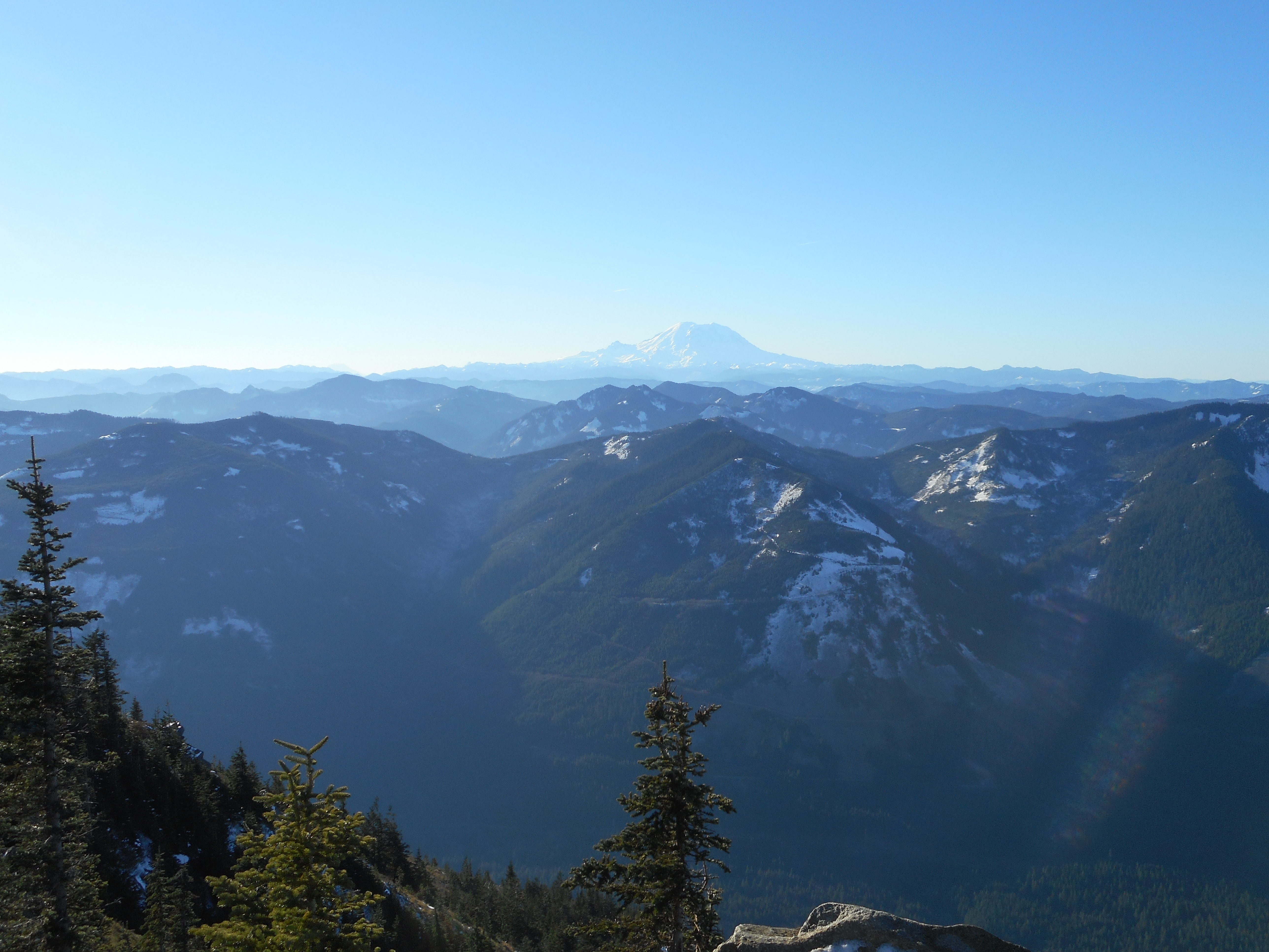
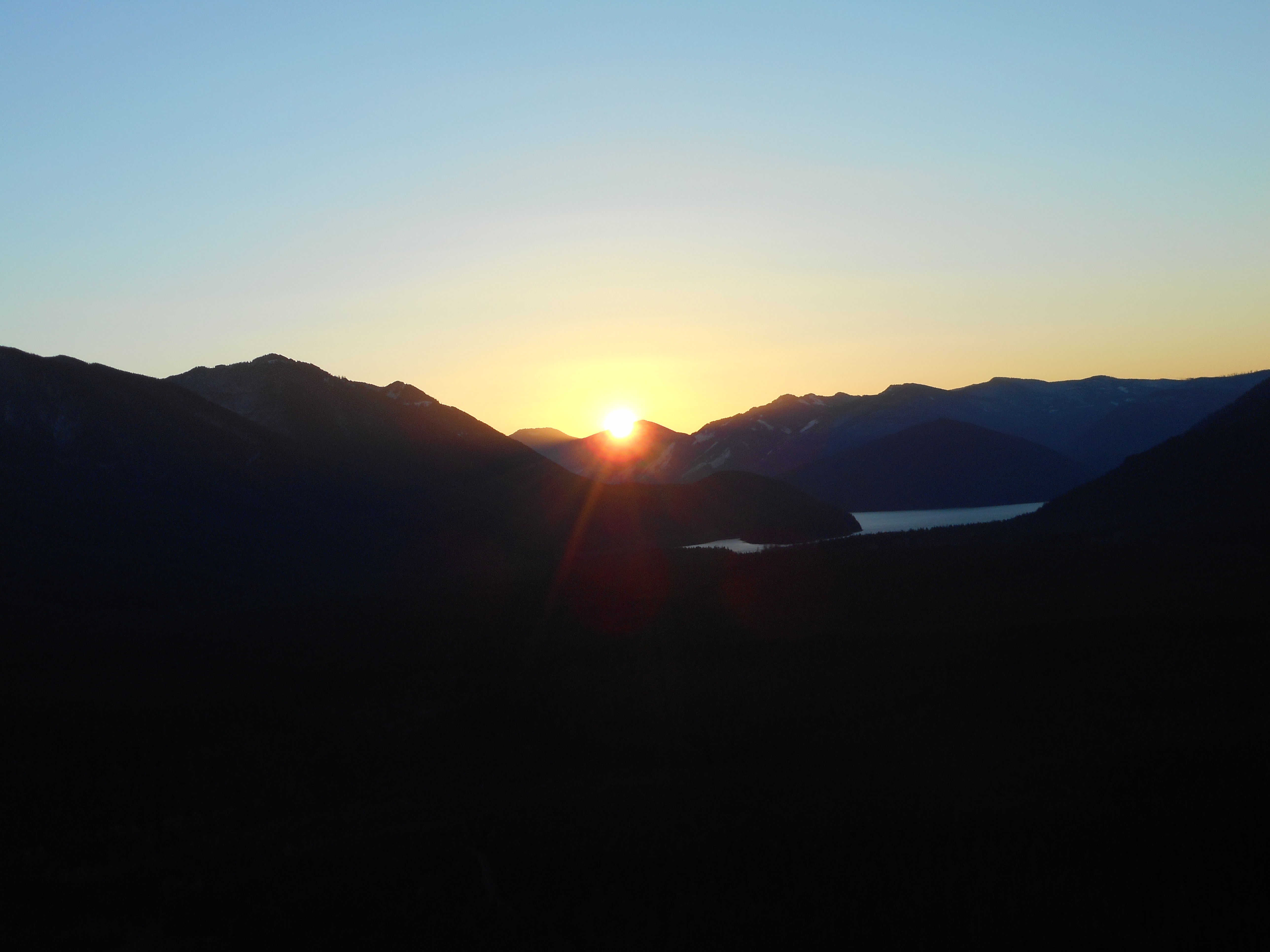
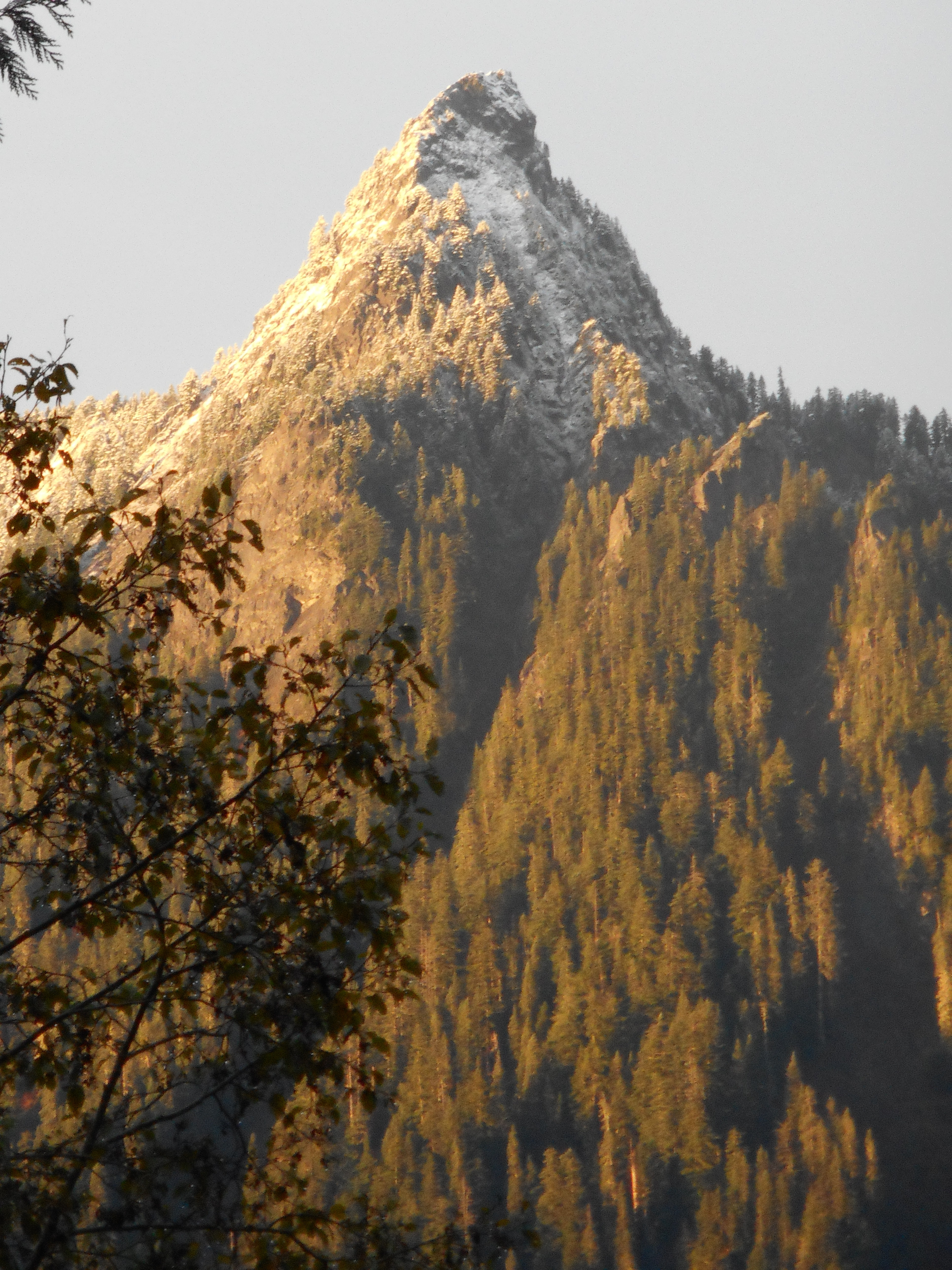
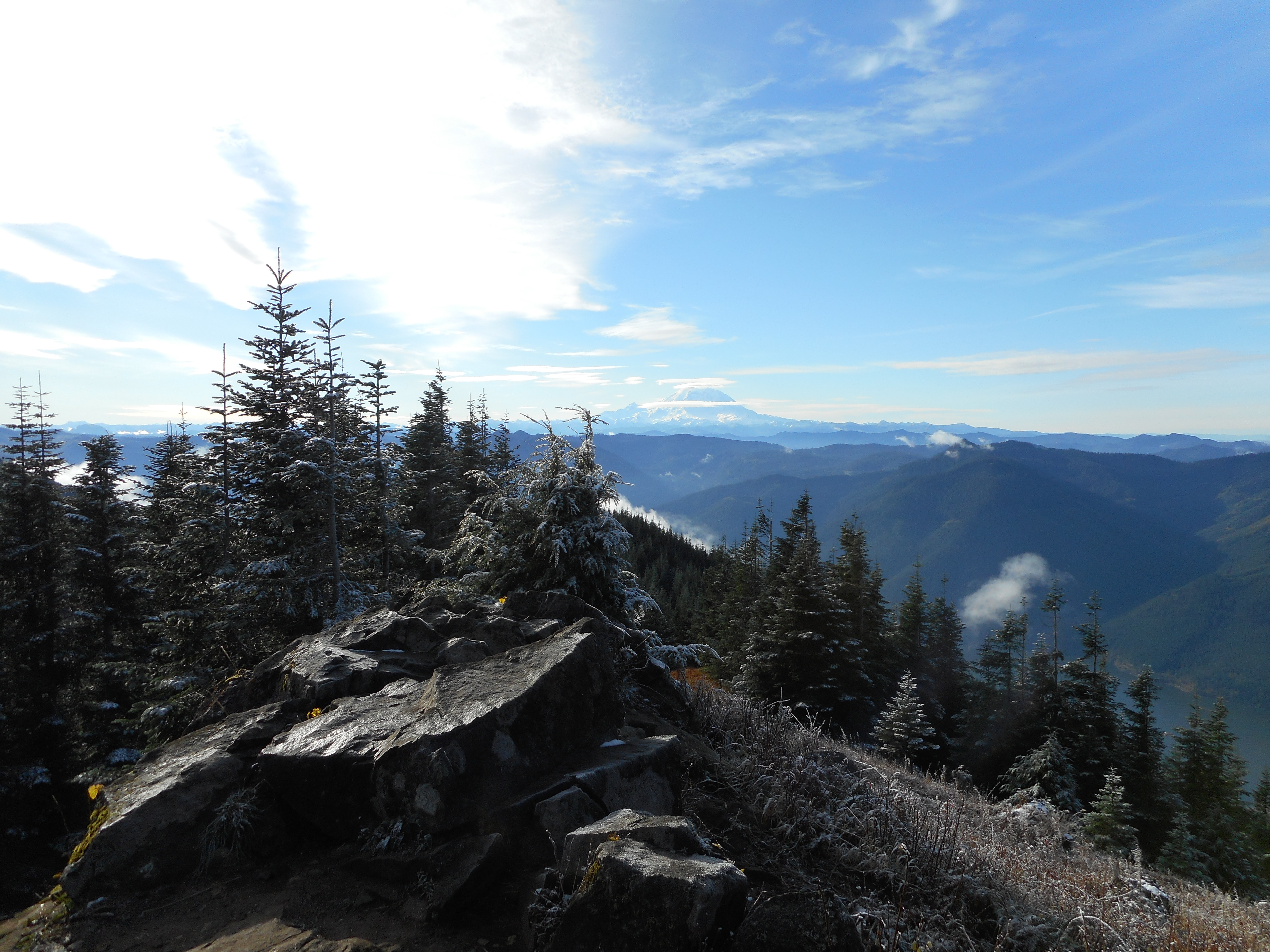
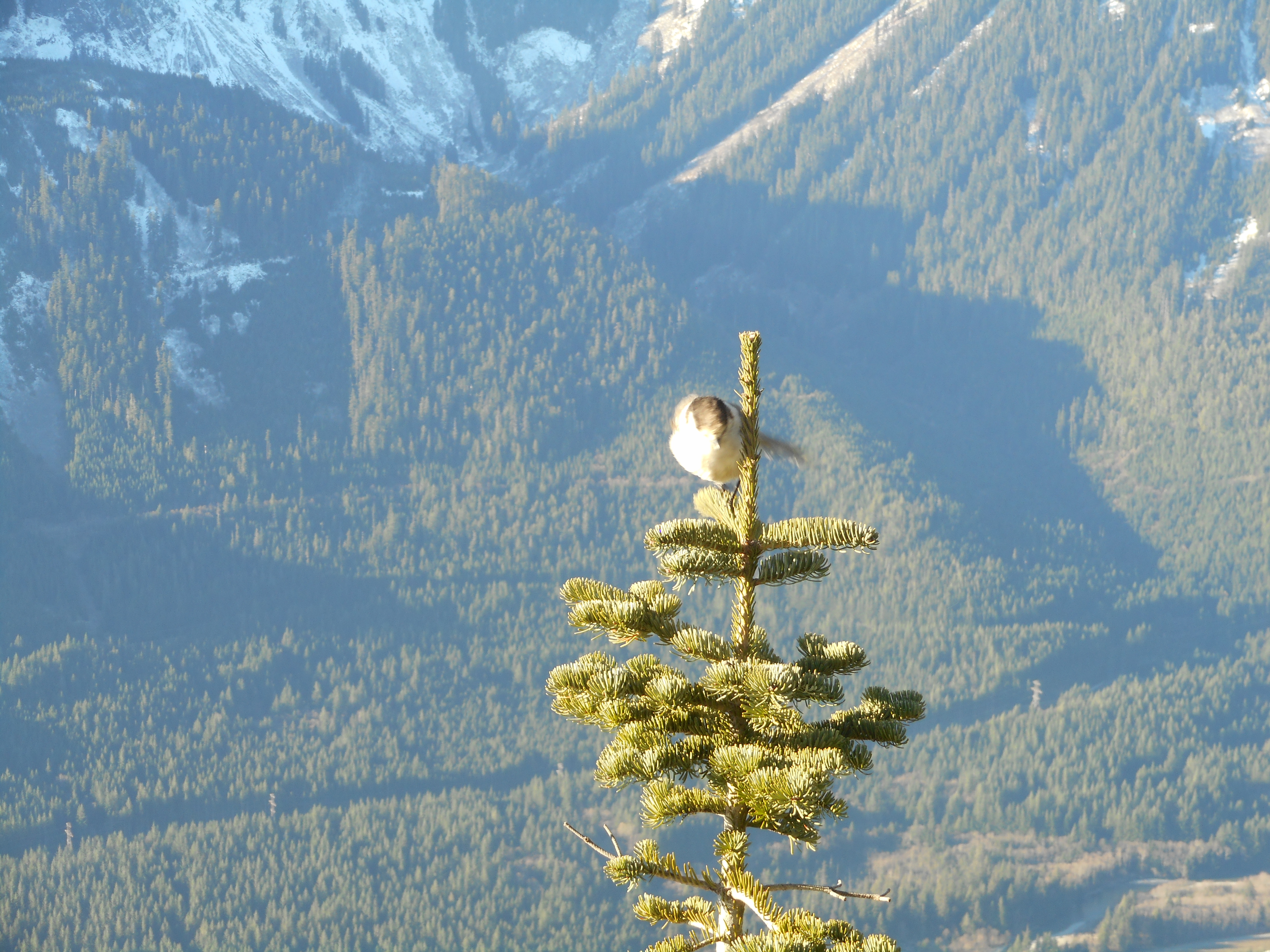
As I say, I didn’t make it all the way up but Derek did and this is what he saw:

Mason Lake
Mason Lake
Another summit view
Another summit view
The last scramble
The last scramble
Watch your step
Watch your step

Bottom line is that it was a super day.  Plus, shortly after I got home Derek and Jill and Fin and Cam showed up.  Granny and I got to hang out with Cam and Fin while mom and dad visited with a friend from out of town.

And then Fin wound up staying over – she is snoozing away with Granny even as I type.  Fun!

Not sure when we will do our next hike but I will be sure to space them so my legs get at least 2 days off between hikes.  I am really not happy I got as far as I got (probably less than 1/4 mile from the summit) and lost leg energy.  Live and learn.

Update 11/30: link to visualization

http://adventures.garmin.com/en-US/by/djhiker/little-bandera-mountain-false-summit/#.VlzlcZXltD8


Rattlesnake Mountain upper ledge – Thanksgiving 2015

The actual sunrise
The actual sunrise

How cool if I had planned this perfectly but the truth is that it was just good fortune to find myself on a high (2,500 feet elevation) ledge exactly at sunrise.  All I did was tell myself to be at the Rattlesnake Lake parking lot by about 6:30 to beat the crowds.

But when I pulled in, the lot was almost full.  And as I was hiking upward, I saw no one.  About 30 minutes before sunrise, along the trail, I looked east:

30 minutes before sunrise

And it was then I realized why so many people had gotten there so early: holiday, plus no clouds plus relatively late (7:30 am) sunrise brought a bunch of people out to see a sunrise from way up high.

Way cool – and my kind of people.

But I was a tad late so I hurried.  This is not the world’s steepest trail but it isn’t Grant Park either.  I was out of breath by the time I got to where most people were headed, Rattlesnake Ledge.

The place was jammed with people.  So up I went to the middle ledge.  There were some people there and I didn’t want to bother them.  So up I went some more, to the upper ledge.

Jackpot.  That’s just when the sun peaked over the mountains to the east, and I was all alone.  I hung out there for a few minutes and started down.  It’s Thanksgiving, folks are coming over, and if you call hiking up a mountain slacking – that is, not helping get the place ready – I was slacking.

But halfway between the upper ledge and the middle ledge I ran into a guy going up.  He was looking for Rattlesnake Ledge, which he had passed about .4 a mile back.  I tried to describe how to find the side trail to the upper ledge but he seemed not too sure of himself so – what the heck! – I volunteered to head back up and show him the way.

Nice excuse to extend the hike a bit.

We hit the upper ledge, stopped at the middle ledge, and I left him at Rattlesnake Ledge deploying the drone he had lugged along:

Alex and his drone
Alex and his drone

And by now the sun was creeping higher into the sky:

Now the sun is starting to climb

All in all a nice Thanksgiving morning.  For sure, it won’t be hard for me to find things to be thankful for.  Or to look forward to.  Derek and I are going to hike up Bandera Mountain on Saturday.  This one is famous for a stretch near the summit that, for .2 mile, is a foot of elevation gain for every two feet of distance.  The views from up there will be superb.

Happy Thanksgiving to all.

Here is a link to a visualization of this hike:

http://adventures.garmin.com/en-US/by/djhiker/rattlesnake-to-upper-ledge-11-26-15/#.VldWmZXlteU


Haystack Hill, Cannon Beach OR, 11/21/15

Haystack Rock from Haystack Hill

We spent this past weekend (drove south on Friday, 11/20, drove back today, 11/22) in Cannon Beach, OR.  I had checked the area for hikes and found one I thought would be interesting.  Haystack Hill, which according to the trip reports culminated at a viewing platform placed directly across from the local attraction, Haystack Rock.

Viewing platform
Viewing platform

And I was so happy to find the platform.  It was a slightly confusing (and therefore rather fun) route.

First, just finding the trail head was not easy.  I walked south thru Cannon Beach, had to detour once because the street I was on disappeared for a couple of blocks.  Then I had to follow a tsunami evacuation route through a couple of private backyards and, finally, someone’s driveway.

But I did eventually spy a trail and started up.

There were plenty of side trails and I checked them all out.  One of them led to the top of the hill, elevation about 200 feet.  Elevation at the trail head was 10 feet.  A little different elevation profile than the one we are used to east of Seattle.

Anyway, the trail itself was OK:

The trail
The trail

All told, the round trip was just under 4 miles with not enough elevation gain to even talk about.  I found out this morning, driving into Ecola State Park with Jan, that I could have had a much longer and tougher hike had I headed a couple of blocks west and then north.  Good to remember for our next visit.

Here is the local attraction from the beach north of the rock:

View of Haystack Rock from the north

And here, to jog my memory later, is where we had breakfast on Saturday – excellent stuff!

Breakfast on Saturday

I love Cannon Beach, at least now I do, having experienced it off-season.  Great town (we saw “Once Upon a Mattress” at the local theatre), great environment.  We will be back.

Mt. Defiance 11/8/15

Panorama from the trail looking south

One of our bucket list hikes was Mt. Defiance.  We have seen it on the north side of I-90 many times, driving away from hikes on the south side, such as Mt. Washington and McClellan Butte.  Today we checked it off our list.  And what a great hike it is.

You can visualize the hike on a map right here:

http://adventures.garmin.com/en-US/by/djhiker/mount-defiance-11-8-2015/#.VkCfv5XltD8

Basically, from the trail head you go east, then north/north-west, then mostly west, then at the very end the route to the summit is an unofficial path (it does not qualify as a trail) that just outright goes straight up:

The last quarter-mile is a scramble

To put this into a better context, this part of the world is hiker and backpacker and snowshoer heaven.  It is the wilderness and there are more trails, official and unofficial, than we can count.

Where we were
Where we were

The trail from which we turned upwards to gain the summit goes on and on.  We went another mile or so to investigate the trail before we turned around and headed back, making our hike 12 miles.

There are plenty of great sights along the way:

Mason Lake
Mason Lake
The goal
The goal
Talus anyone?
Talus anyone?
Waterfall along the trail
Near Defiance Summit
Mt. Defiance's 'Great Wall' on a snowy day
Mt. Defiance’s ‘Great Wall’ on a snowy day
Beautiful
Beautiful
Looking down from the summit
McClellan Butte
McClellan Butte

And we both love being able to put our hikes into a wider geographic context.  If we have seen Mt. Defiance from McClellan Butte, well, the sight lines go in both directions.

Directly above is the very peak of McClellan Butte.  When you are there you are on the side not visible from Defiance so this view is interesting.  And it illustrates why the McClellan Butte scramble is so steep and dangerous.

I have to say that we were really pumped and on a great high after this hike.  What a great Sunday.  But when we got back to the car Derek called Jill who told him that Jan, with whom Jill, Finley, and Cam had been hanging out at a mall had been taken to the ER with stroke-like symptoms.

She did in fact have a stroke (the doctor said it was a ‘minor stroke’) and at the hospital last night she said she felt fine, was showing no impairment, etc. etc.  But she is there even as I type on Monday morning and we are all hoping for a speedy recovery and a diagnosis that prevents this from happening again.

Main Trail Mount Washington solo – 11/4/15

Mount Rainier
Mount Rainier

What a beautiful day, and the forecast has been for rain.  We lucked out.

I wanted to check out Mount Washington once again, because the last time I was there I ran into (almost literally) an excavator and there has been no good news about the state of the trail.  The WTA (Washington Trail Association) itself was warning that there would be ‘periodic closures near the summit’ through 2017.

Today, not so much.  In fact, I saw no equipment but I did see one little spot with the fruit of their labors and a couple of ‘closed’ signs:

Work on the trail
Work on the trail

Basically, the Great Wall is closed and the North Face Trail is closed but the main trail is OK.  It appears they are doing what we suspected they were going to do: they are making a trail for mountain bikes and horses (hikers also welcome, but we will mostly avoid it for obvious reasons) from Cedar Falls (about 4.5 miles west) to McClellan Butte (about 4.3 miles east).

So this trail will come up the west side of Mt. Washington and then go down the east side.  It remains to be seen just how much of the Great Wall will be screwed up by this new high-volume trail.

In the meantime, I must say that I think my go-to solo hike is going to be McClellan Butte.  It is only 4 exits farther east on the freeway and the trail is better.  Really, the Mount Washington trail has deteriorated lately.  It has rained quite a bit and much of the trail is rocky and is being smashed by the runoff.  Hike today was rugged to put it mildly.

But given the glorious sunshine the views were great:

Looking north
Looking north
Early morning view
Early morning view
I-90
I-90
Dusting of Snow
Dusting of Snow

I took my new gaiters because I had heard the snow level was 3,000 feet, but I didn’t see any snow until about 3,700 feet and what there was was pretty light.

All in all a nice workout but it will be quite awhile before I come back.  With the Great Wall and the North Face Trail out of commission for two years, and a ragged main trail, I will be looking for other options.