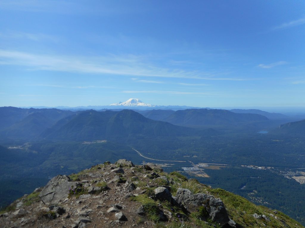
South View of Mount Rainier
Derek and I did an 11.3 mile hike with about 4,500 feet of elevation gain. Here is what we did:
We met at 6am at the Little Si parking lot. Derek parked his car and I drove us to the old Mount Teneriffe trail head. The new one does not open until 7 and we were earlier than that.We went up Teneriffe Trail to the waterfall and, from there, took the spur trail east to the Kamikaze trail. This section of trail, about .4 miles, is very steep and features numerous miserable step-ups.
I am 68 years old and only five foot nine so most of the time I had to take a step, find something to pull myself up with, and pull hard enough to get me to the next step.
At 2,800 feet there is a rocky scramble that, in our view, marks the beginning of the Kamikaze Trail, so called because it climbs up the ridge adjacent to the falls, known as Teneriffe Falls and unofficially as Kamikaze Falls. To be sure, it is easy to slip and die if you try to get too close.
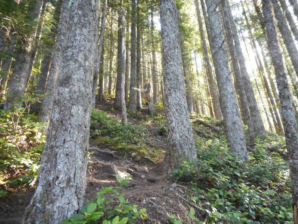
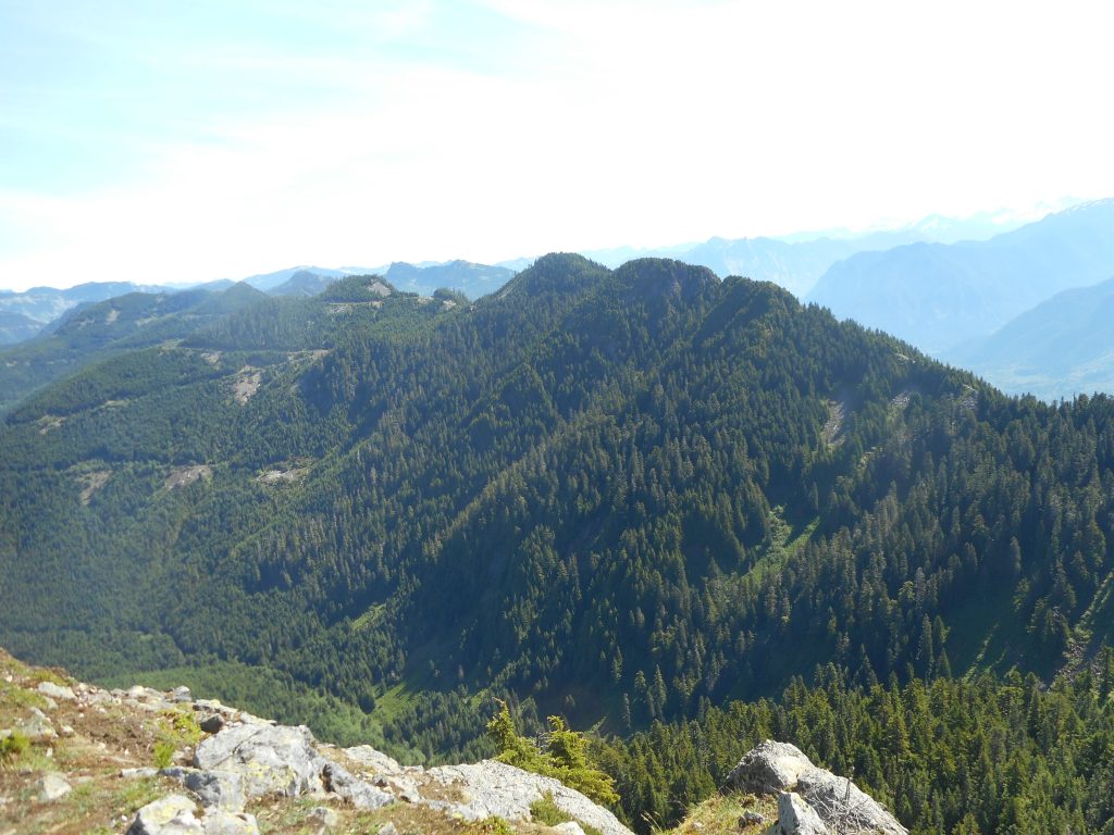
The Kamikaze Trail (see track below) just goes straight up the ridge, climbing from 2,800 feet to 4,760 feet in .9 mile. That’s an average grade of about 42%. Here is what a typical section looks like:
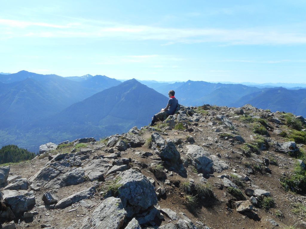
We took Kamikaze (slowly, I am painfully slow when it gets steep) to the junction with the main Teneriffe Trail, which is only a couple of hundred vertical feet below the summit.We scrambled up to the summit, which is an amazing 360 degree view. Here is Derek sitting on the summit:
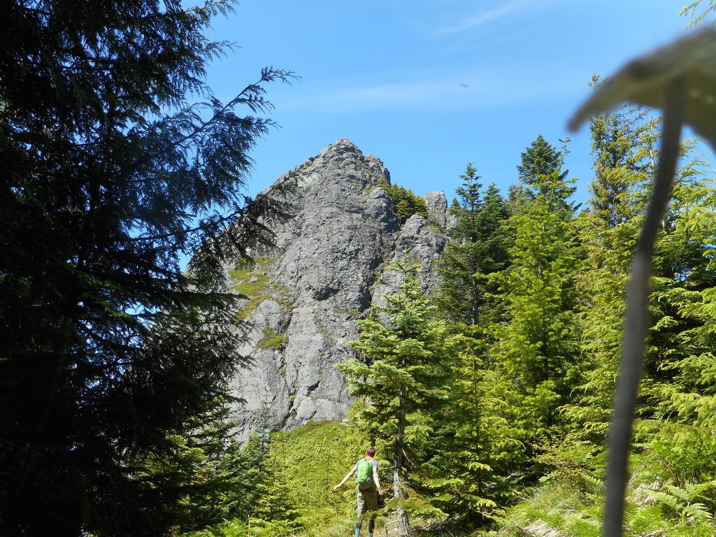
We went down the main Teneriffe Trail. This trail immediately loses about 300 vertical feet but, not to worry, you gain it back and then some when you climb up to the tree-surrounded summit of West Teneriffe.
From West Teneriffe it was mostly down, (with one section where you gain back 200 feet) to 3,500 feet, to the junction with the highest Teneriffe/Si connector trail. We followed that spur (about .8 mile) to the summit of Mount Si at 4,000 feet, thus exhaustingly gaining another 500 feet.
Here is the Haystack on top of Mount Si:
We scrambled over the rocks at the Si summit and took the New Si trail just a short way until it met the Old Si trail and we took the old Si trail to the Boulder Garden Loop, and that to the Little Si trail, and that down to the parking lot where Derek’s car was parked.
I can tell you that car looked like heaven when we saw it, after 11.3 grueling miles. Derek drove me over to my car, and en route, we had the windows open and that felt heavenly. It was a mighty warm day – fortunately most of our hike was in the forest, and the toughest, steepest part happened before noon.
Still, this was a real physical challenge and I predict a bit of soreness tomorrow.
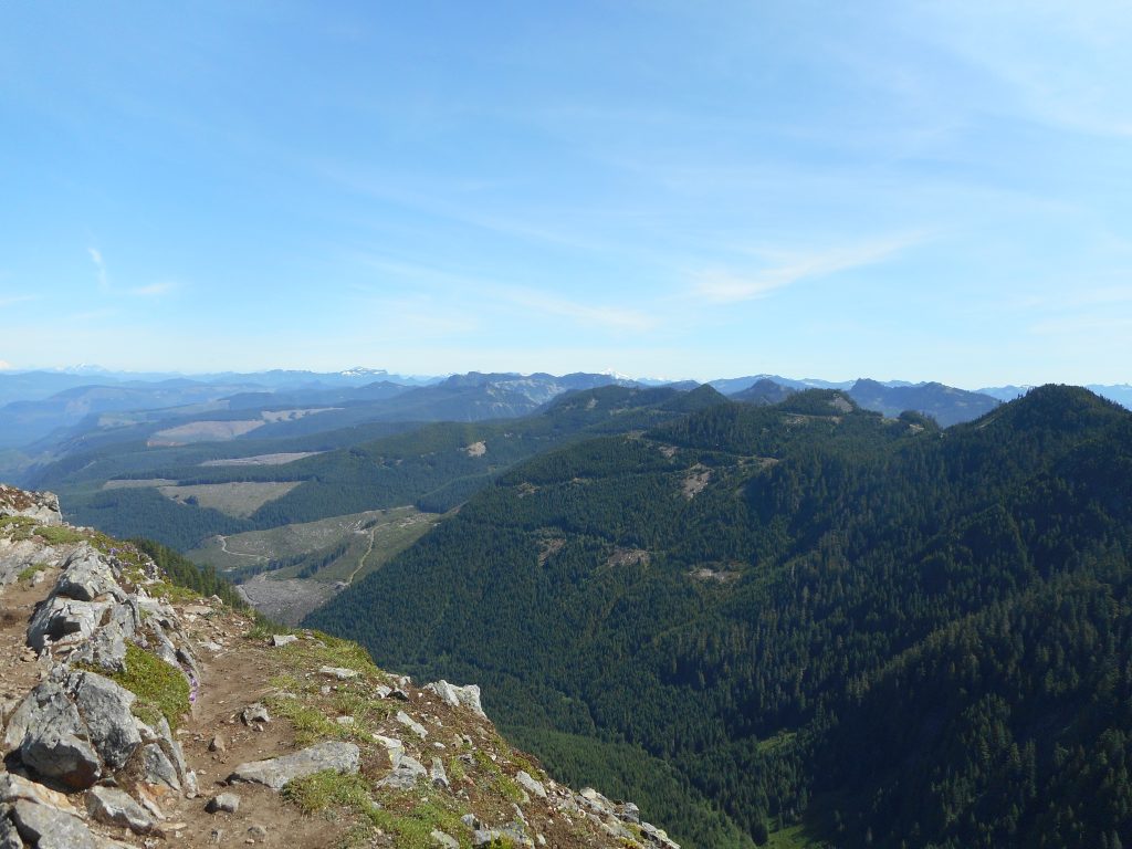
The view from Teneriffe summit is spectacular:
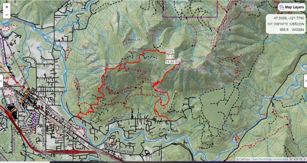
And here is our track, from CalTopo:
All in all an outstandingly fun adventure today.