Yesterday Derek and I made our fourth attempt to attain the summit of Chester Peak – and this time we did it!
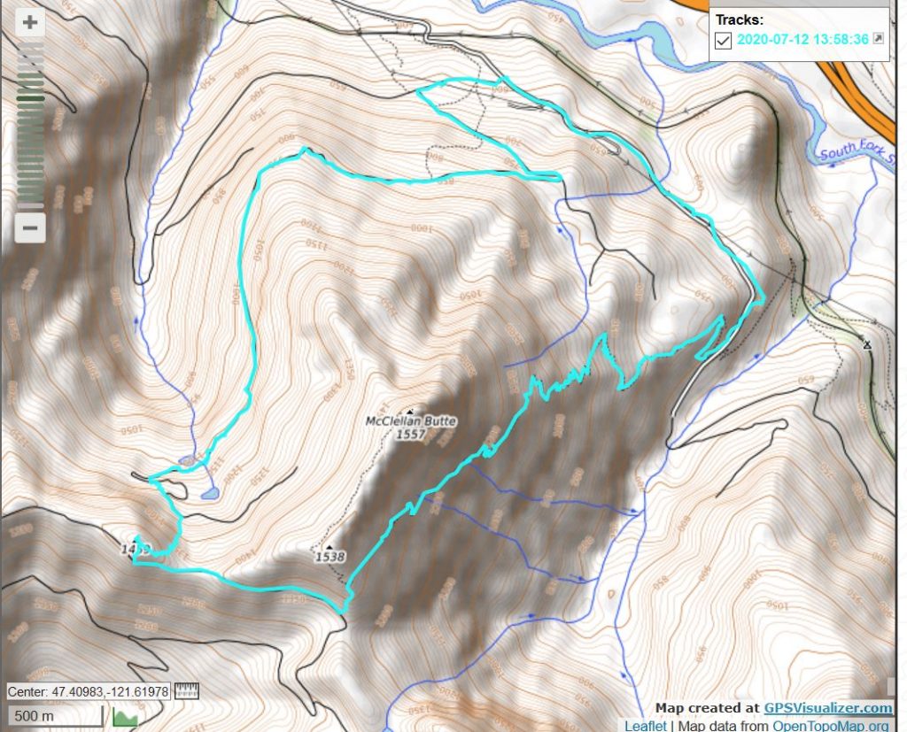
The track is below but briefly, what we did is drive up NF9021 to just before the junction with NF110. From there we hiked up NF110 and looped around the southern end of the Mine Creek Gorge to approximately where the old service road loops back east (the service roads around there are very different on the ground than they are on the maps) and, using a large talus field as a visual mark, hiked up the talus field to the top, and from there, total bushwhacking up to the summit.
That’s the summary but the reality is that most of the way from the top of NF110 (it levels out at a wide point we call ‘the shooting gallery’ because there is so much target practice detritus) to the summit was as difficult to move through as anything we have ever encountered.
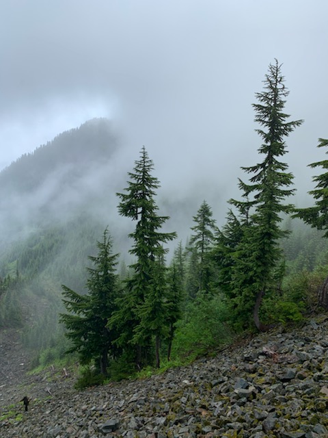
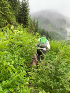
Here is Derek bushwhacking just past the shooting gallery, Chester is the misty peak in the distance ahead:
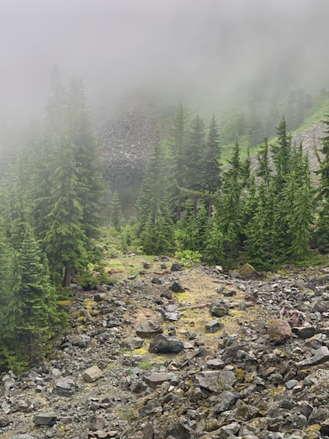
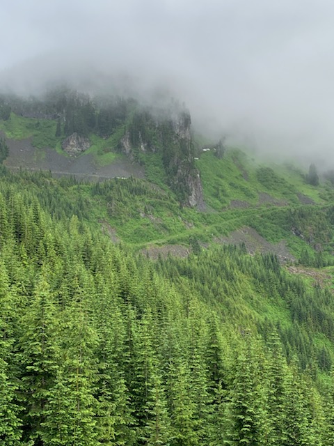
Below are a couple of pictures of the talus field including one with me (a little dot on the lower left) slowly climbing up.
But the worst was unrecorded by Derek’s phone (Jan was using our camera today to record our daughter Brittany’s wedding shower) because the conditions were extreme enough that there was no slack to pull out the phone and snap any pictures.
It is hard to describe the conditions on the ground there but I will try. We were going sharply uphill, I would estimate about a 40 degree grade, through extremely dense brush, and trees with branches reaching to within a couple feet of the ground. It was raining so it was very slippery. Over and over we would find a way to take a step up, only to slip two or three steps down.
For about 1/3 of a mile, I had to literally stop after every step up to survey the next step. In what direction did it look like progress could be made?
Eventually we hit a small clearing, the sun came out for a few minutes and we were able to take our bearings. I have a Gaia app on my phone and I had downloaded a map of the area previously so I did not need cell phone coverage in order to get a detailed map. We were just short of the summit so we pushed onward and upward and got to what appeared to be the highest spot around. A quick check on Gaia confirmed – we were at the highest point of Chester Peak! (see track)
We went back a different route. We bushwhacked down the southern slope to a decent service road (the same road you take to Mount Kent) and, again confirming via Gaia, went up another talus field to the McClellan Butte trail. From there we went down to the service road that intersects the McClellan Butte Trail and back to the car.
A side note: the 2nd avy chute on McClellan Butte is really dangerous and obnoxious right now. We had to slide down the side of a ravine and scramble up the other side. I don’t think this avy chute will be in decent shape for another couple of weeks. Which only proves, again, that McClellan Butte is only good for hiking during August, September, and October. Short season there.
Anyway, we did it, and are elated about that but I think once is enough for this one. For sure, the best (least worst) route to Chester would be via McClellan Butte trail, down to service road, etc.
9.81 difficult miles, about 3,700 feet of elevation gain. Great workout.