After my nice little hike on Thursday on Squak Mountain Derek and I did another epic hike/scramble – not sure how to categorize this one.
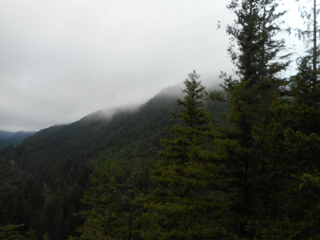
We parked in the lot down the road from the Exit 38 Mount Washington lot and left to go up the trail about 6am. We were worried about a possible very hot and sunny day, but in fact it was reasonable all day long.
We headed to the Change Creek Trail and visited Hall Point:
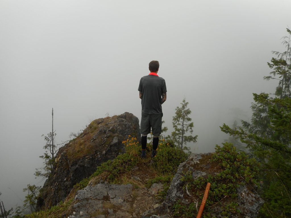
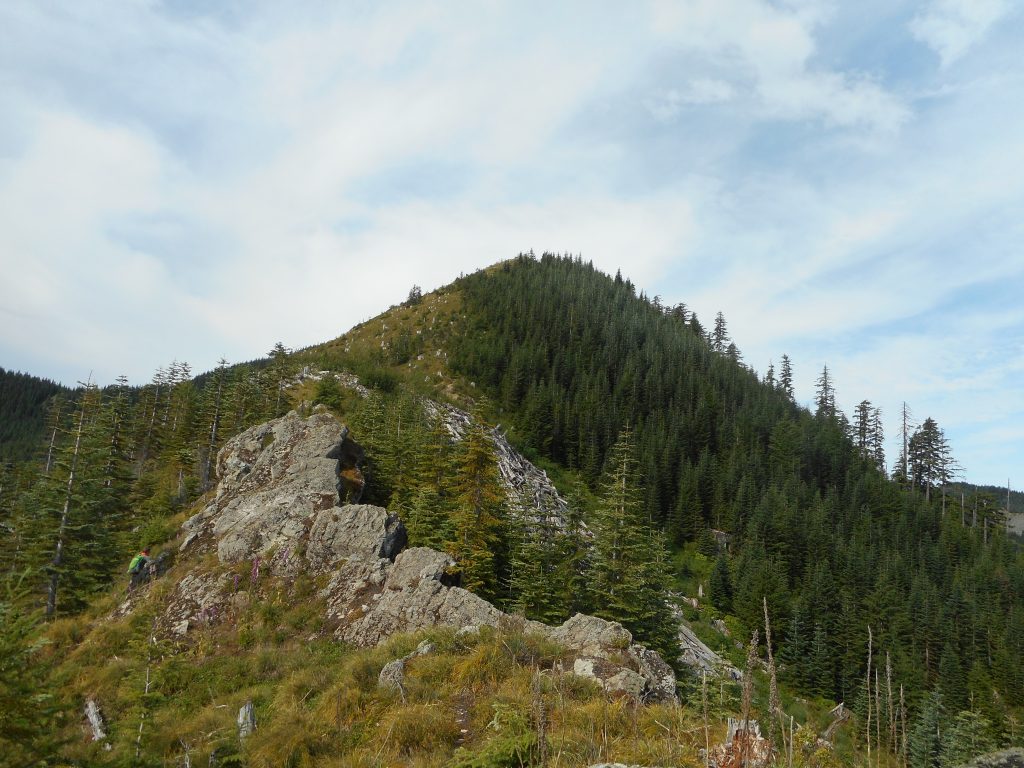
From just down from Hall Point we took the shortcut up to J’s Landing, straight up the ridge, and from there headed up and up and up until we finally hit the summit of Songbird Peak.
That is a straightforward description but it leaves out the fact that not long after you go up from the spot where the trail above J’s Landing ends, you arrive at your first of many rocky scrambles. Each one is more or less exposed, which means you are crawling around in the rocks with a cliff near at hand. One such encounter left both of us with very tight hindquarters.
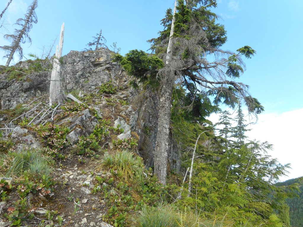
For the worst ones, we found ways to scramble down the side of the mountain to skirt the too-exposed ridge line, and then back up.
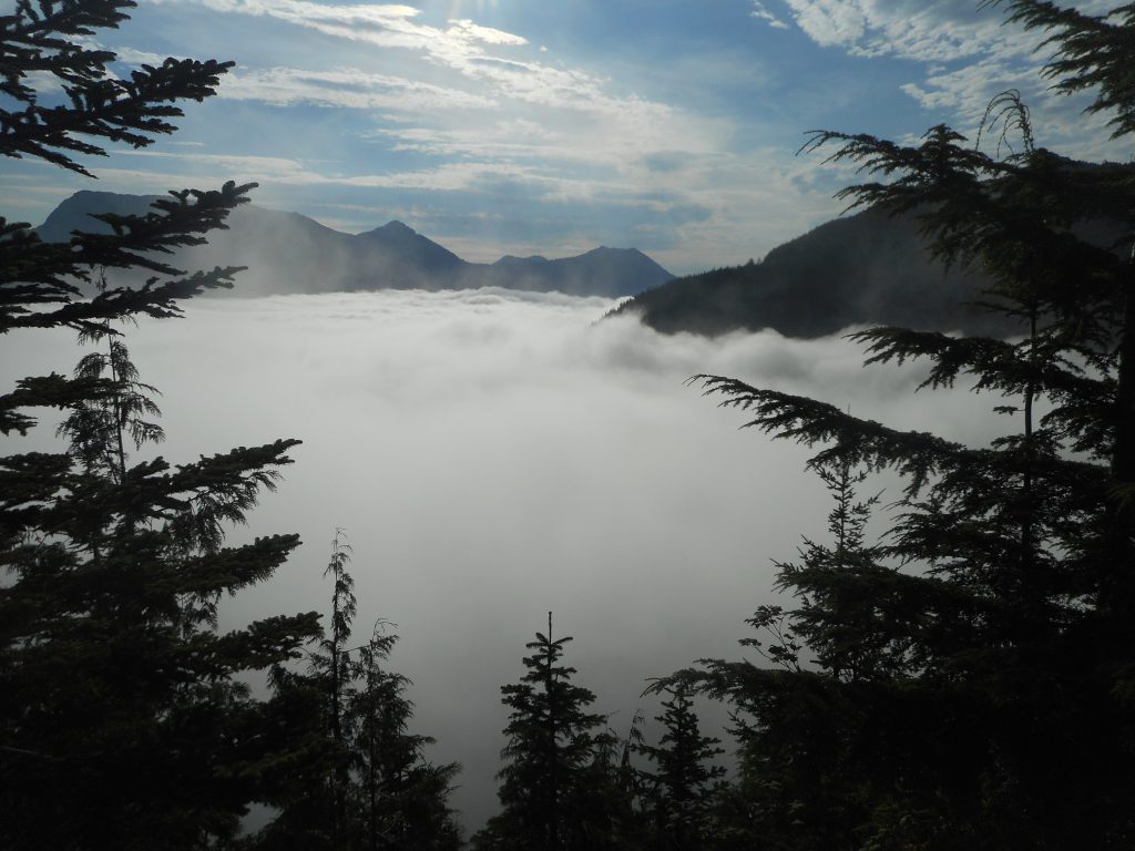
Finally we got to a point where it was just straight up through a meadow that, long ago, had been logged – judging from the numerous old tree stumps, that is.
When we got to this last section I took out my Garmin and measured the distance we had traveled and the elevation we were at so we could calculate how steep this last meadow was. It was a grade of about 60 degrees. But we did make it.
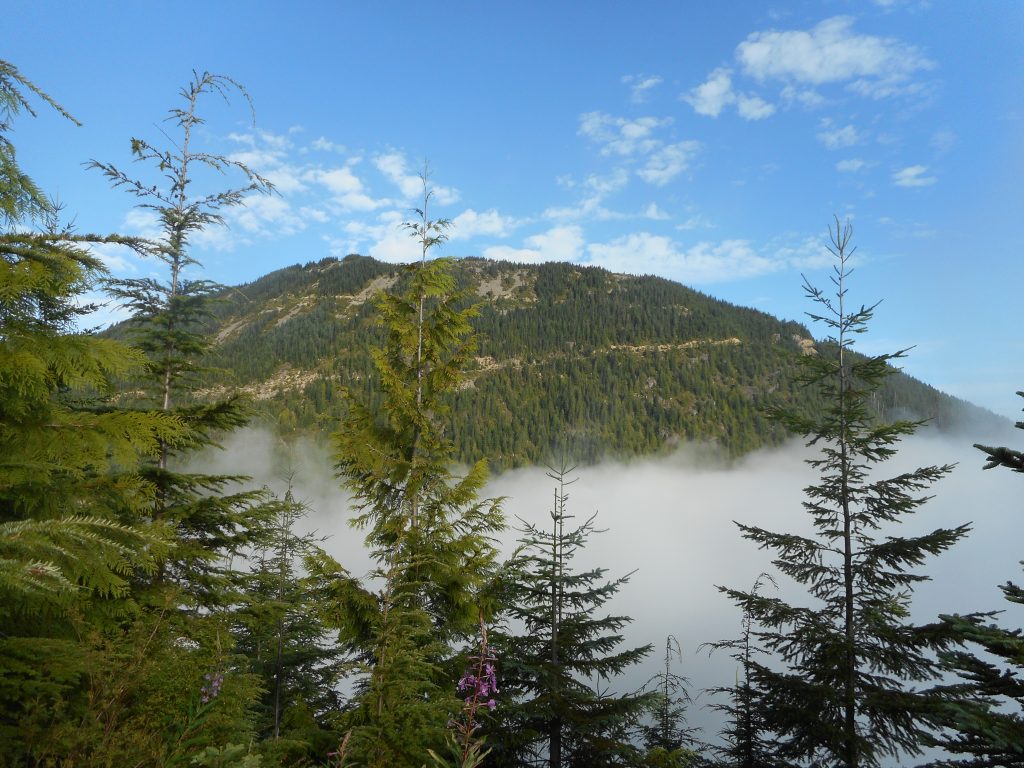
On the way down Derek took the Garmin and headed up the higher summit, known as Mid Mother Mountain. He said there was an animal trail, as well as steaming fresh bear scat, and that it was not too difficult to travel across the MMM ridge. He did hit the high point and bush-whacked down.
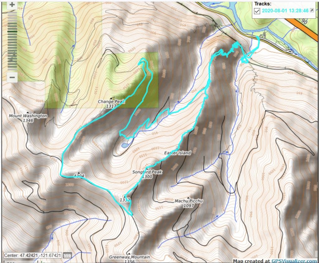
The hike was 9.74 miles and surely well over 3K elevation. This was a very steep, very difficult hike but worth it.
We went down Songbird the “easy” way, took the service road that is the northern boundary for part of the Watershed, then the Great Wall to the Olallie Bike Trail, that to the famous Pond Shortcut, then a shortcut within the shortcut, eventually back on the Change Creek Trail which we took to the Hall Creek Connector Trail, and back to the cars.
Whew!
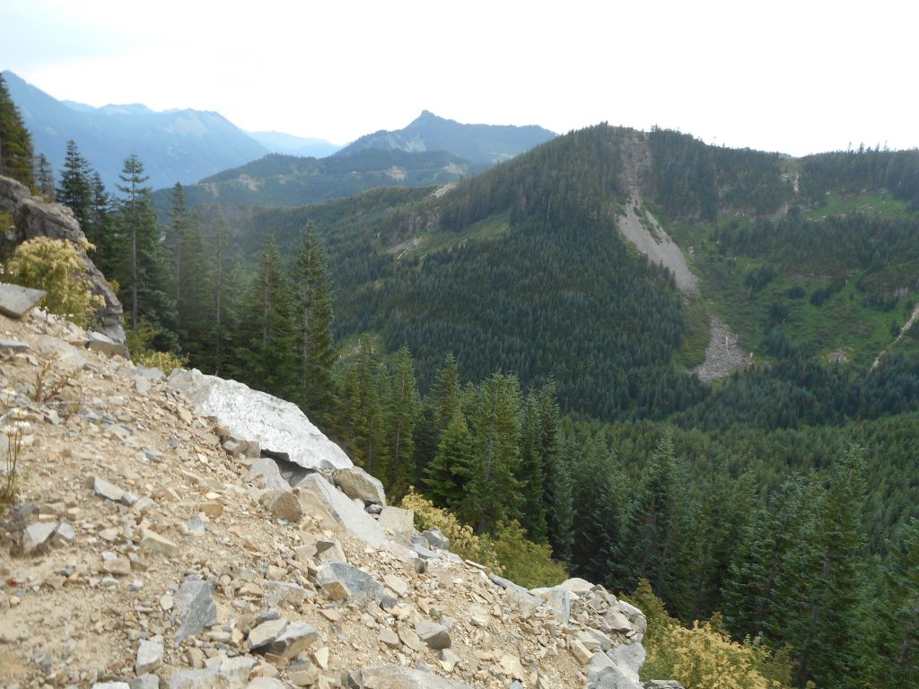
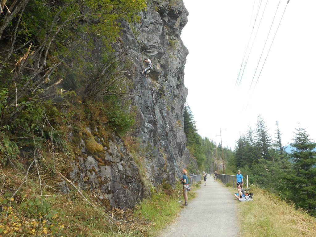
We saw the rock climbers as we hit the former John Wayne Trail (now the Palouse-to-Cascades Trail):
All in all a great day.
Track below: