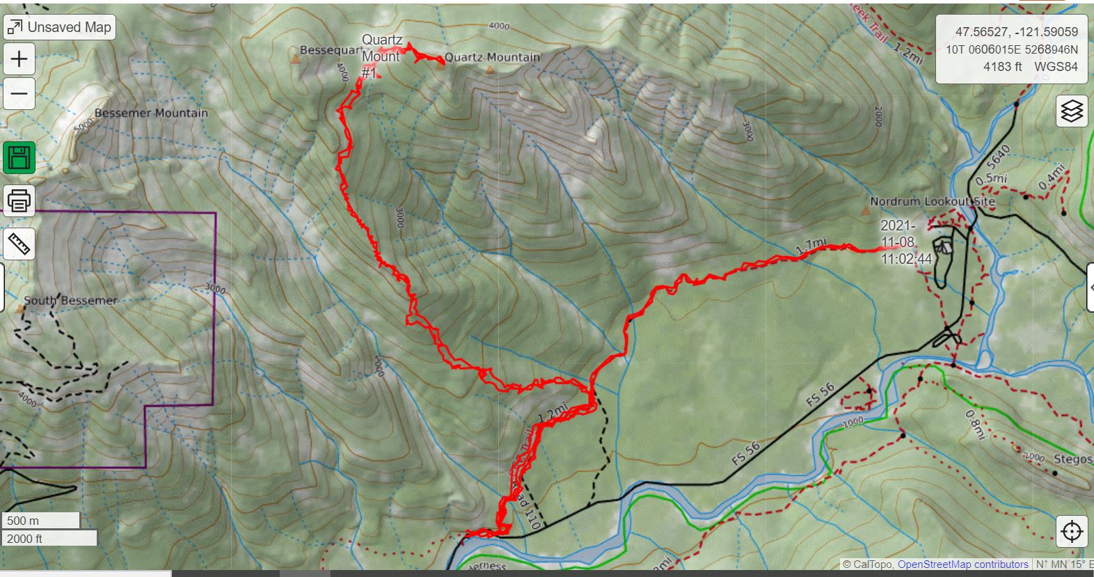
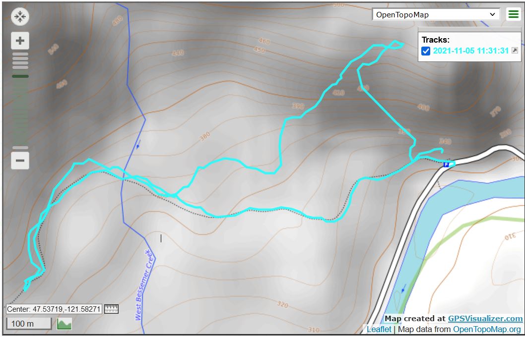
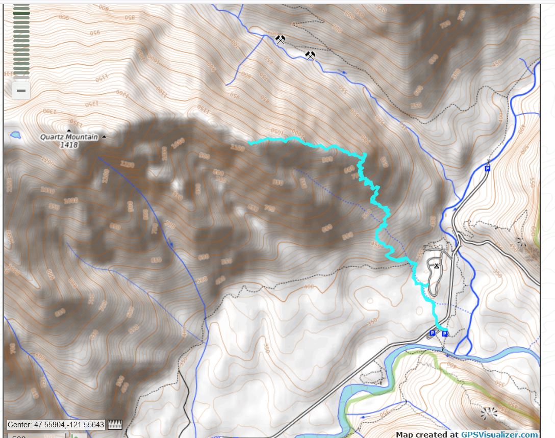
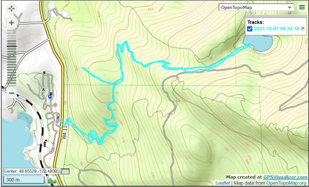
I went back to the Middle Fork today, looking for the unofficial trail to Quartz Mountain. I believe I found it but my belief is based less on what I saw on the ground than on what I see when I look at one of the peakbagger’s tracks compared to mine today.
The tracks, below, are superimposed. Mine goes relatively straight to near Nordrum Lookout, the other one turns left and goes up. That’s the one from last June that a peakbagger did:
2 Tracks
I believe I found the spot where you go off the CCC trail but I am not sure about that. I need to go back and go a bit farther off the CCC trail to get a better idea. I saw no tape and nothing resembling a trail, but there is a distinctive feature that will be easy to find next time.
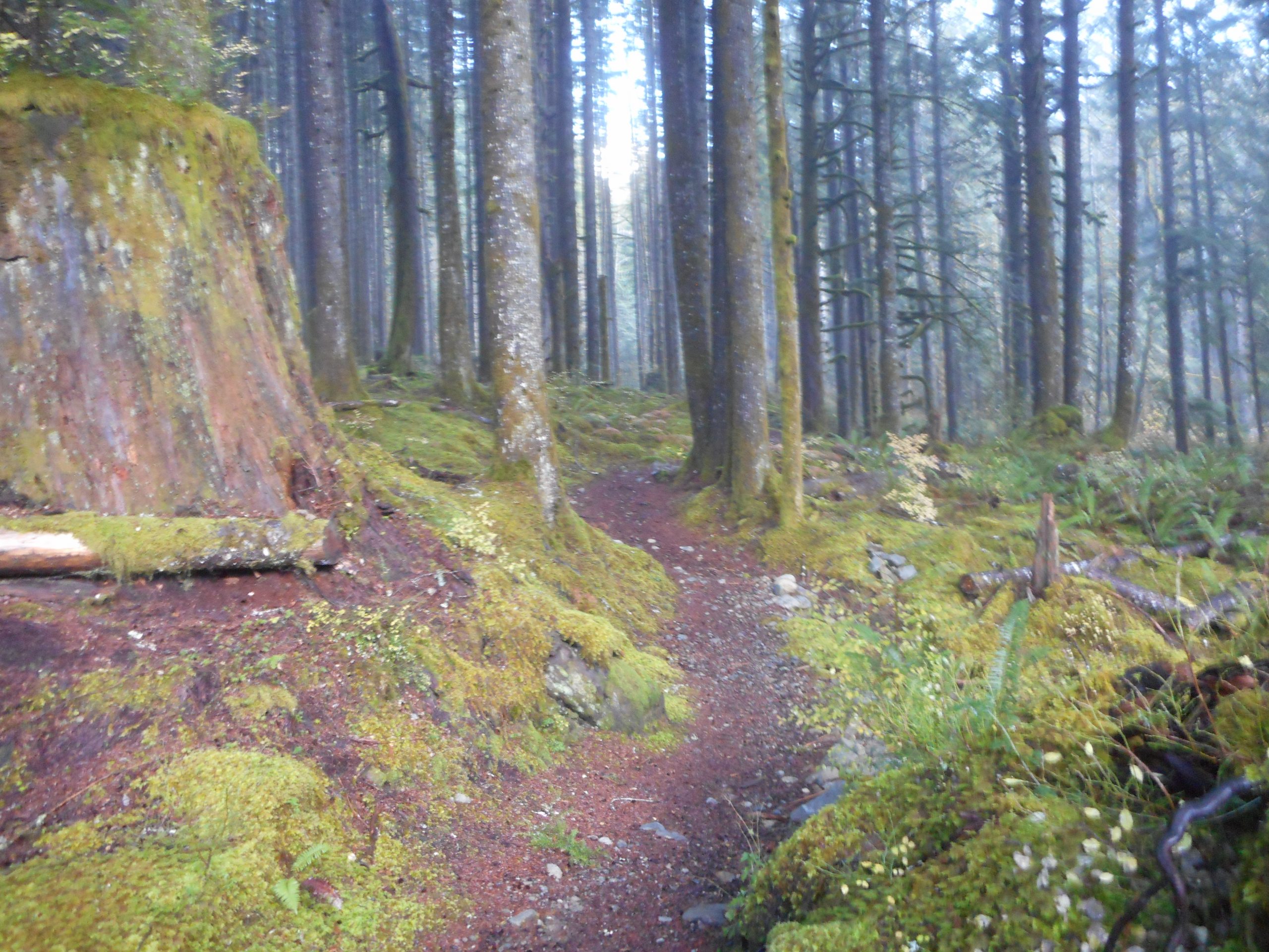
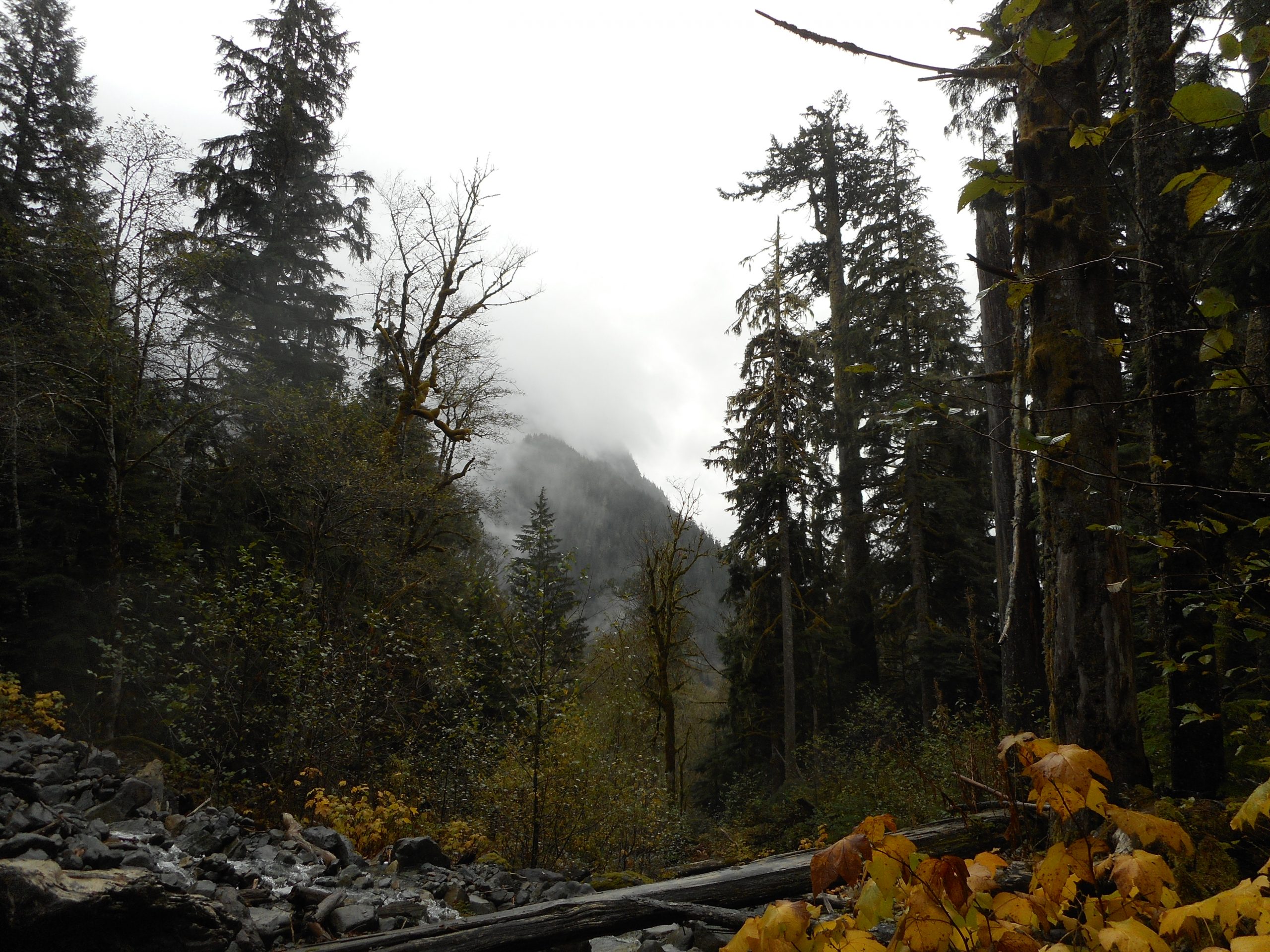
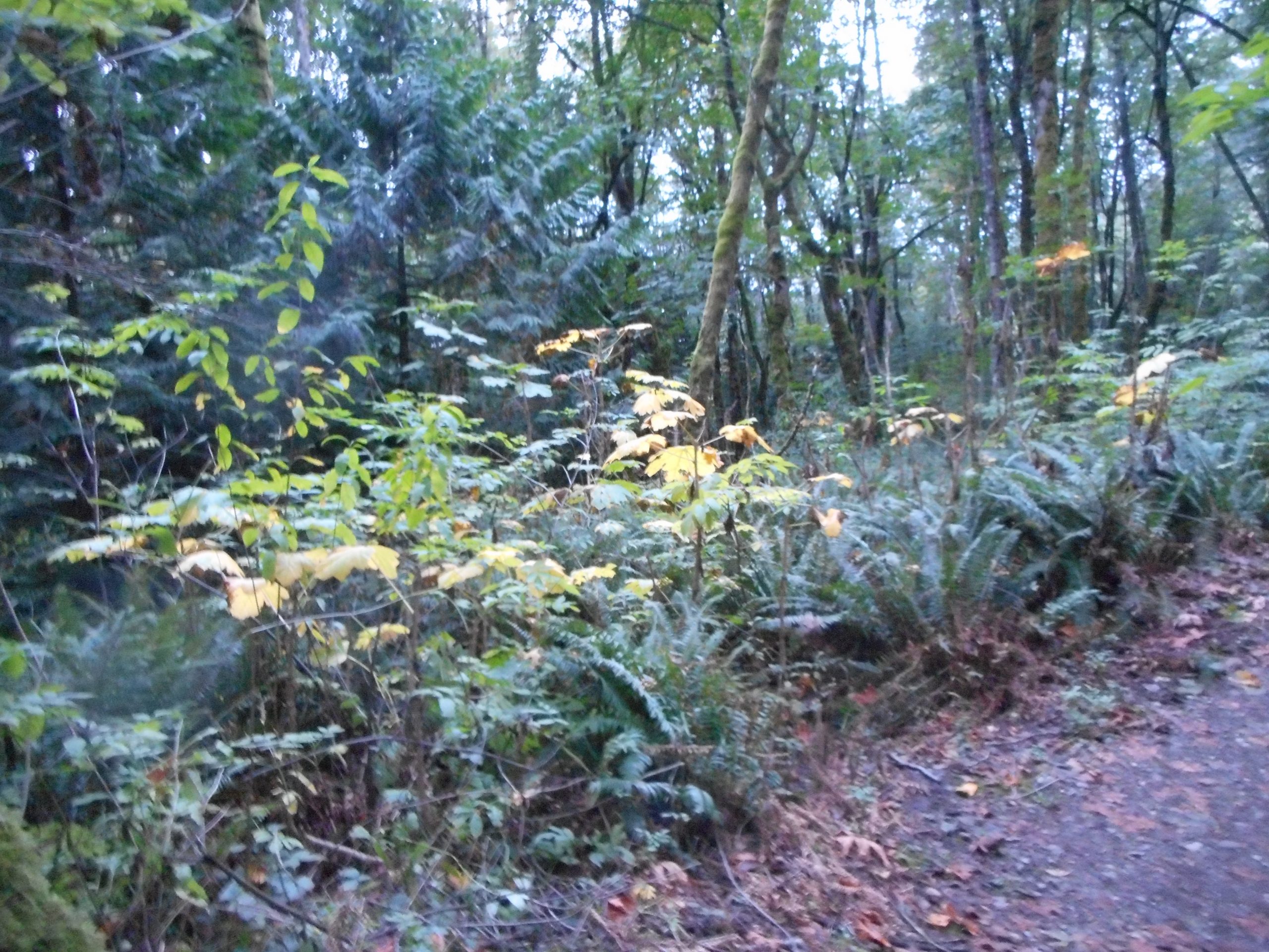
The trail is excellent, the forest around there is beautiful and I saw not a single person the entire time.
Trail
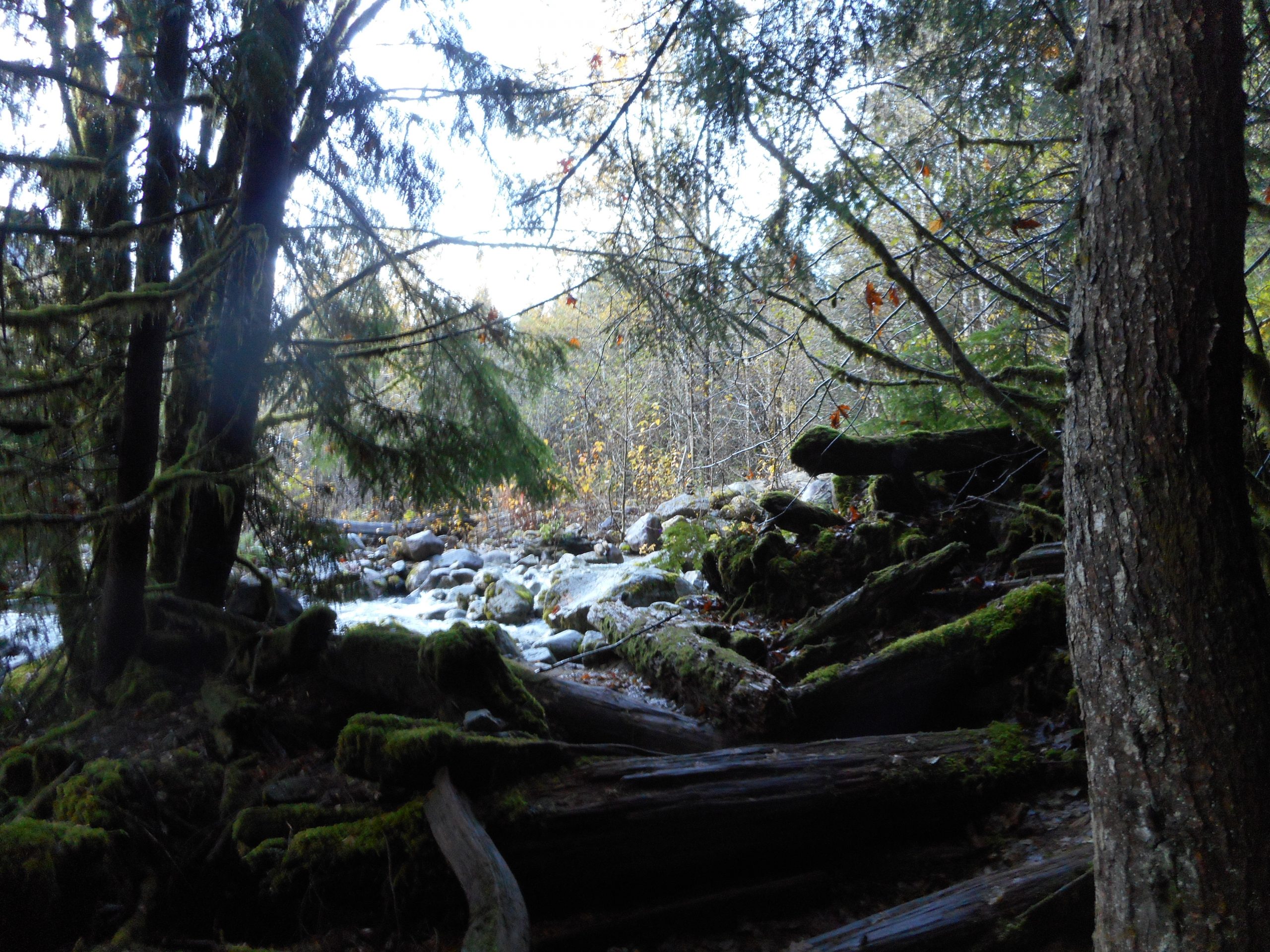
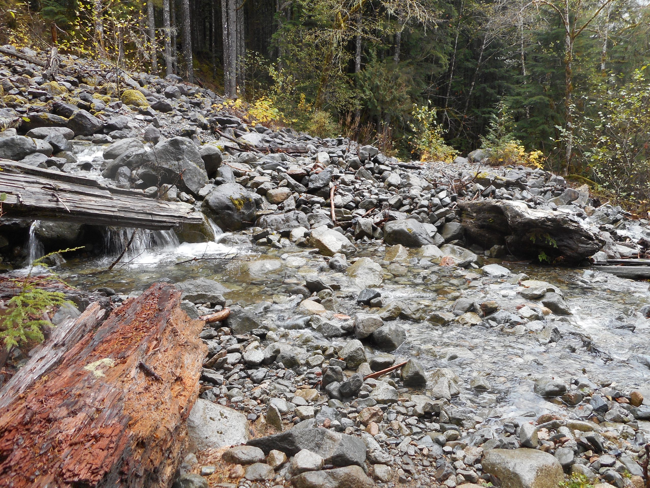
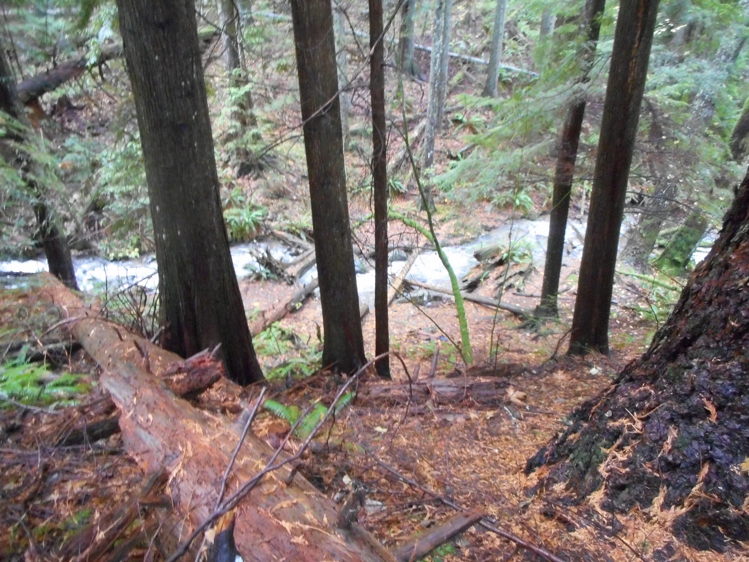
I went just under 6 miles and crossed a few little streams, including this one, which required very careful maneuvering:
Careful Crossing
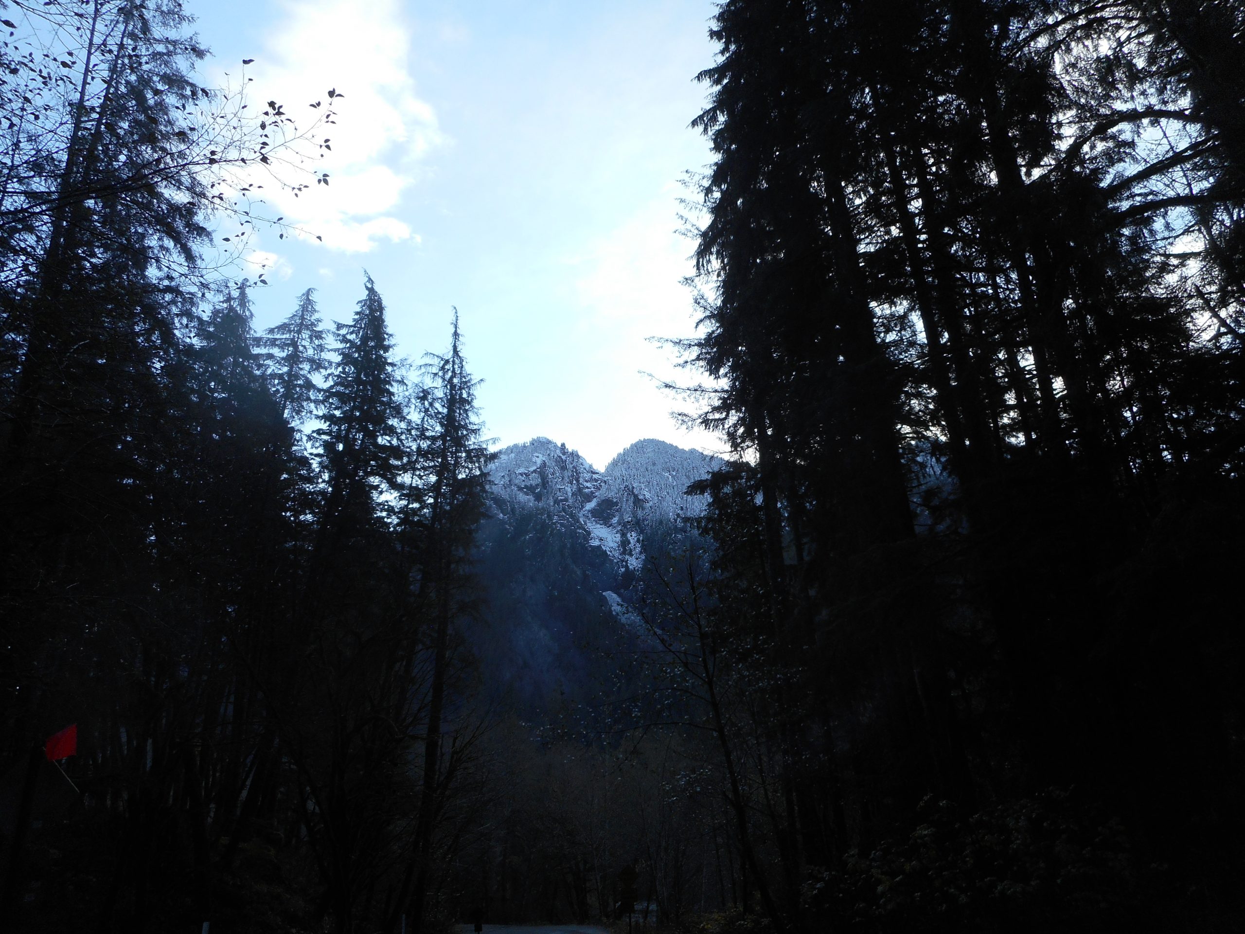
I will be back. Might not be able to go to the summit until next year when the snow is gone. As you can see from the picture on top, winter has arrived in the Cascade mountains.
My plan today was to drive out to the Middle Fork area and find the beginning of the alternate (more commonly used) path to the summit of Quartz Mountain. I parked the car and doh! In my haste to get out the door I had forgotten to bring any water. A dumb mistake.
I thought I would try a bit of it anyway but after about .75 mile I realized I had not quite gotten it right. Mistake number 2: I relied on a dim memory of someone else’s track rather than getting my bearings via Gaia right away. I realized the way to go was to park where I had parked but walk up FR56/SE Middle Fork Road a few hundred yards to where the CCC road goes the other direction.
Now I know. But I sure drove a long way only to hike a short distance, just a bit less than 2 miles. Live and learn.
Along the way there were a few little stream crossings including this one:
Creek Crossing
And right after I took that picture a rock I was hopping on turned out to be unstable and I got my feet soaked. Serves me right. But I will go back (tomorrow or the next day) and find that route.
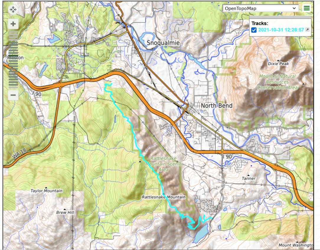
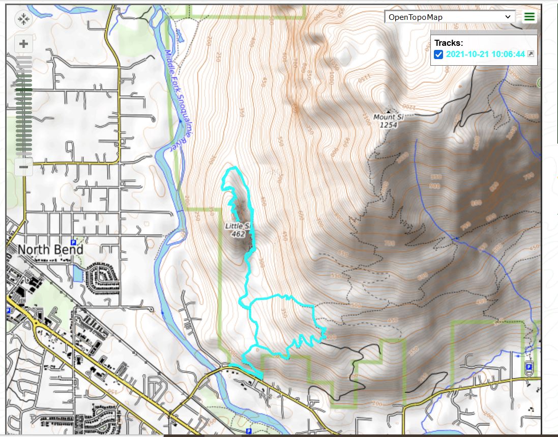
The track, which looks wrong to me. It appears as a loop but I went out and back via the same route. Strange.
Derek and I did a great hike this morning. Jan (aka Granny) and I stopped by Derek and Jill’s house about 7am and then Derek and I took off, each in his own car, leaving Granny to enjoy some time with the grandkids.
We both went to the Sno Point parking lot off I-90 Exit 27 and I left my car there, put my gear into Derek’s car, and we drove to the area of Rattlesnake Lake, via Exit 32.
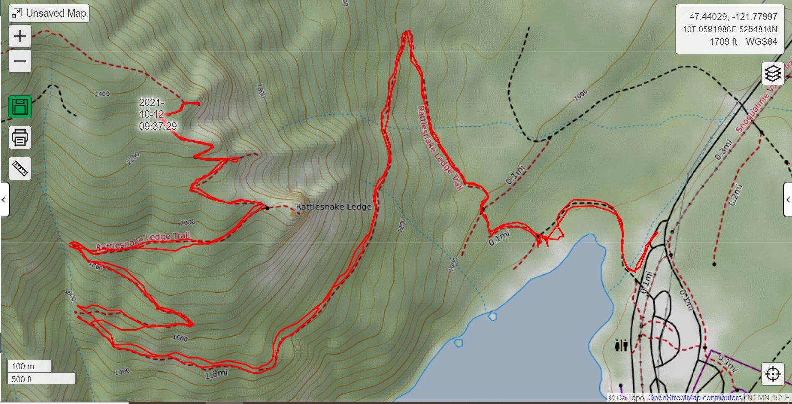
Our plan was to traverse the entire length of the Rattlesnake Mountain trail. And it worked. We racked up about 10.75 miles altogether (including a turn I missed right at the beginning – we had to backtrack a bit) and had a terrific time.
We made it to the upper Rattlesnake Ledge in almost exactly 1 hour, a steep 2.3 miles, beating my best time by 10 minutes. We finished in about 4 hours and 15 minutes, and felt we had done a super workout.
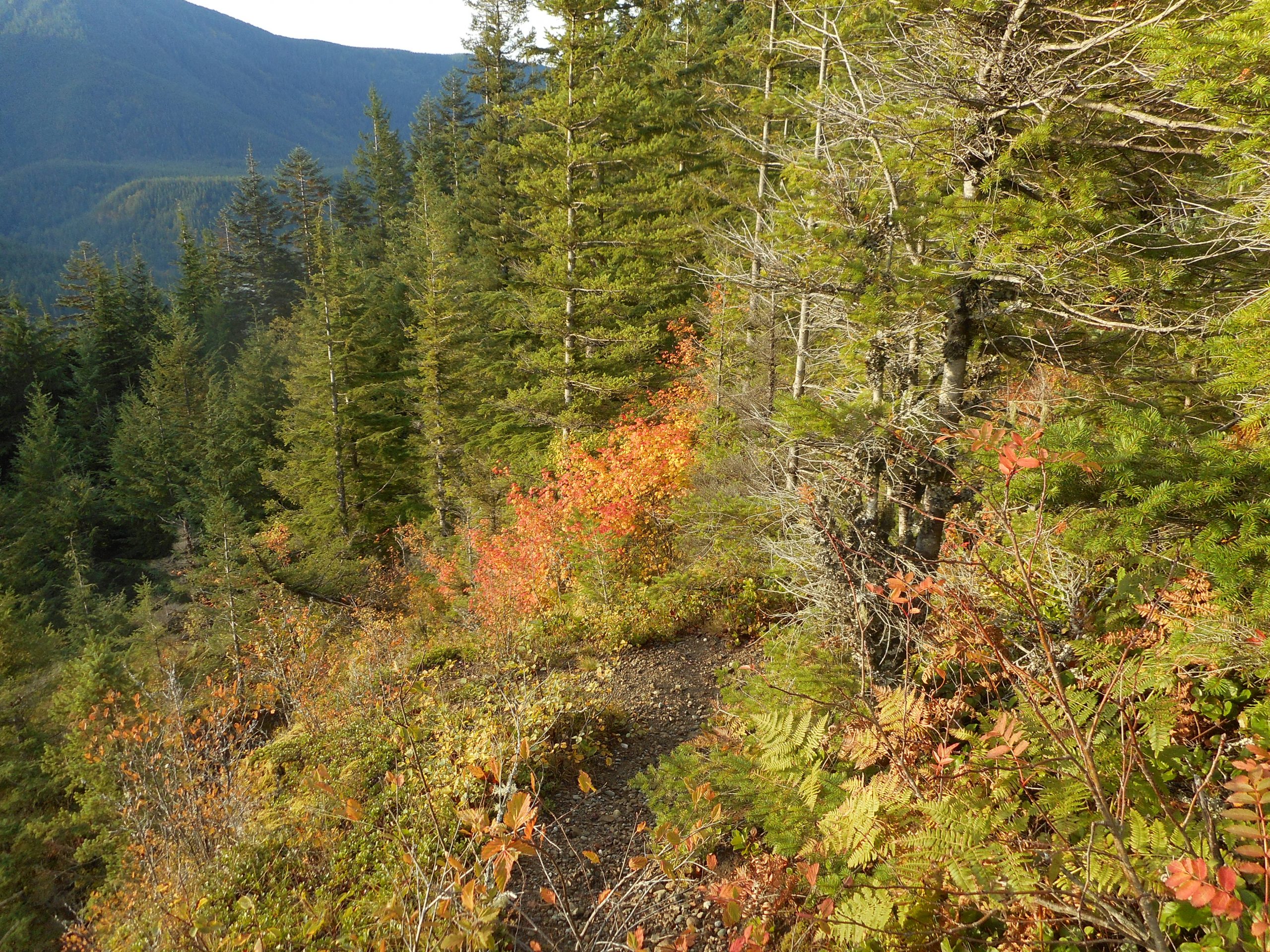
The trail, across the entire length of the mountain is in good shape.
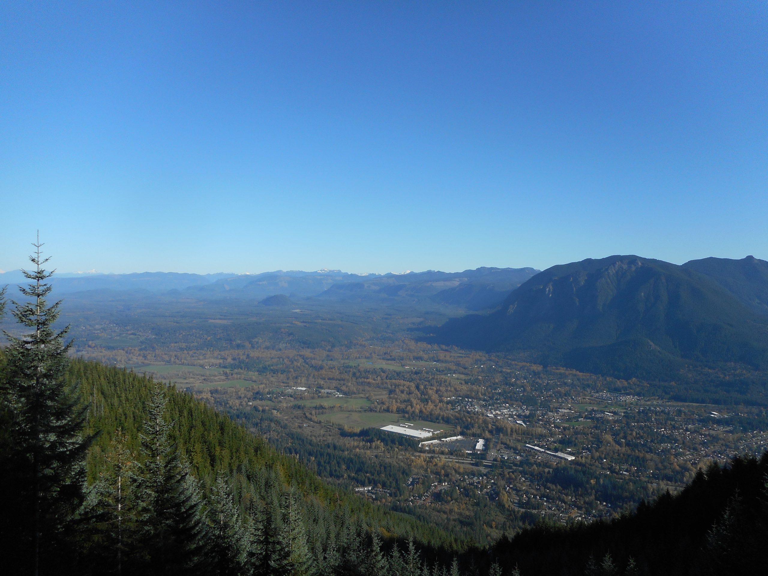
There are views along the way:
North Bend Surrounded by Mountains
And there is a section that, in recent years, has been clear cut:
Clear Cut
Ugly, but on the other hand, the missing trees open up some great views.
A great morning, excellent workout, and just plain fun.
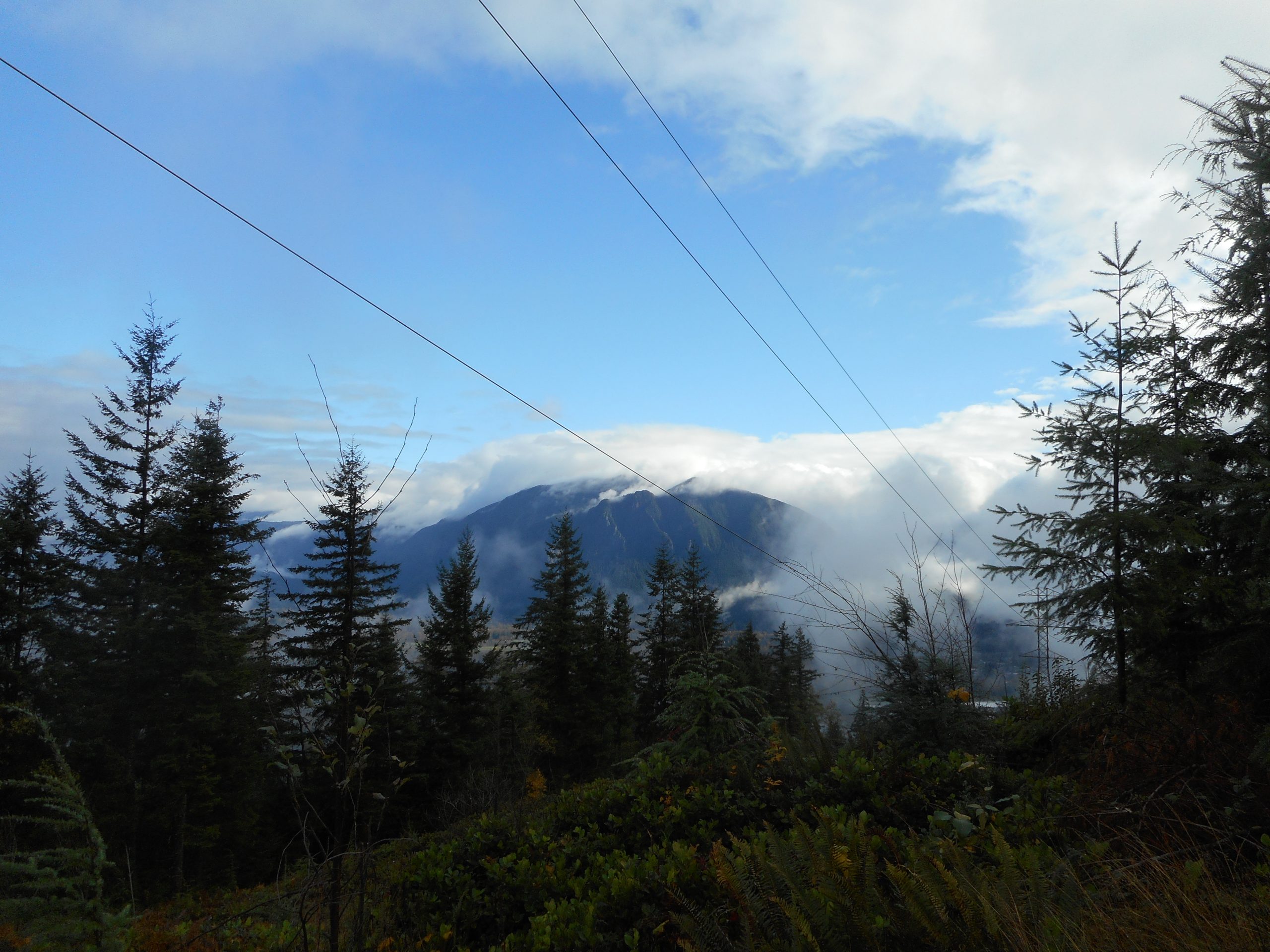
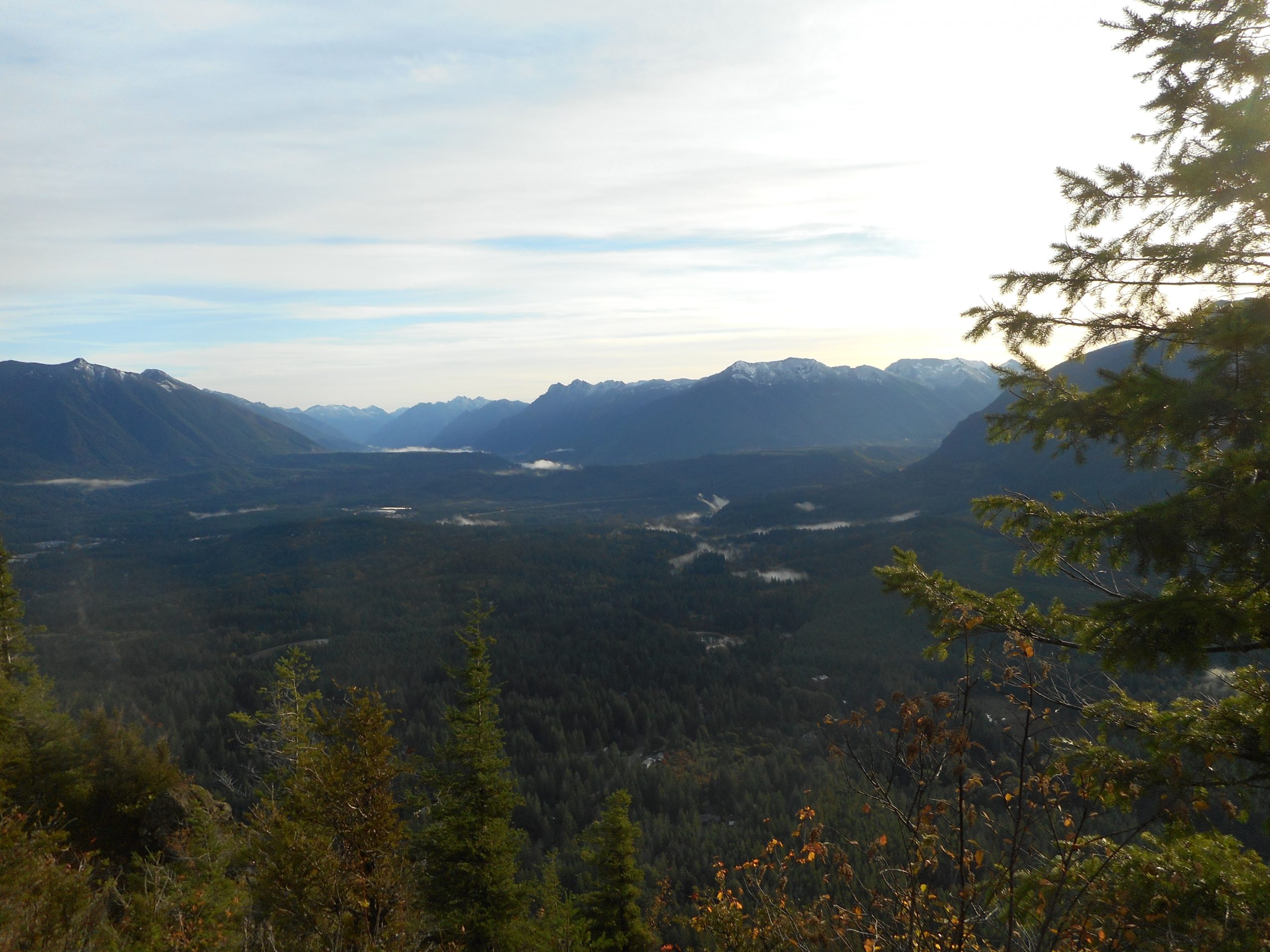
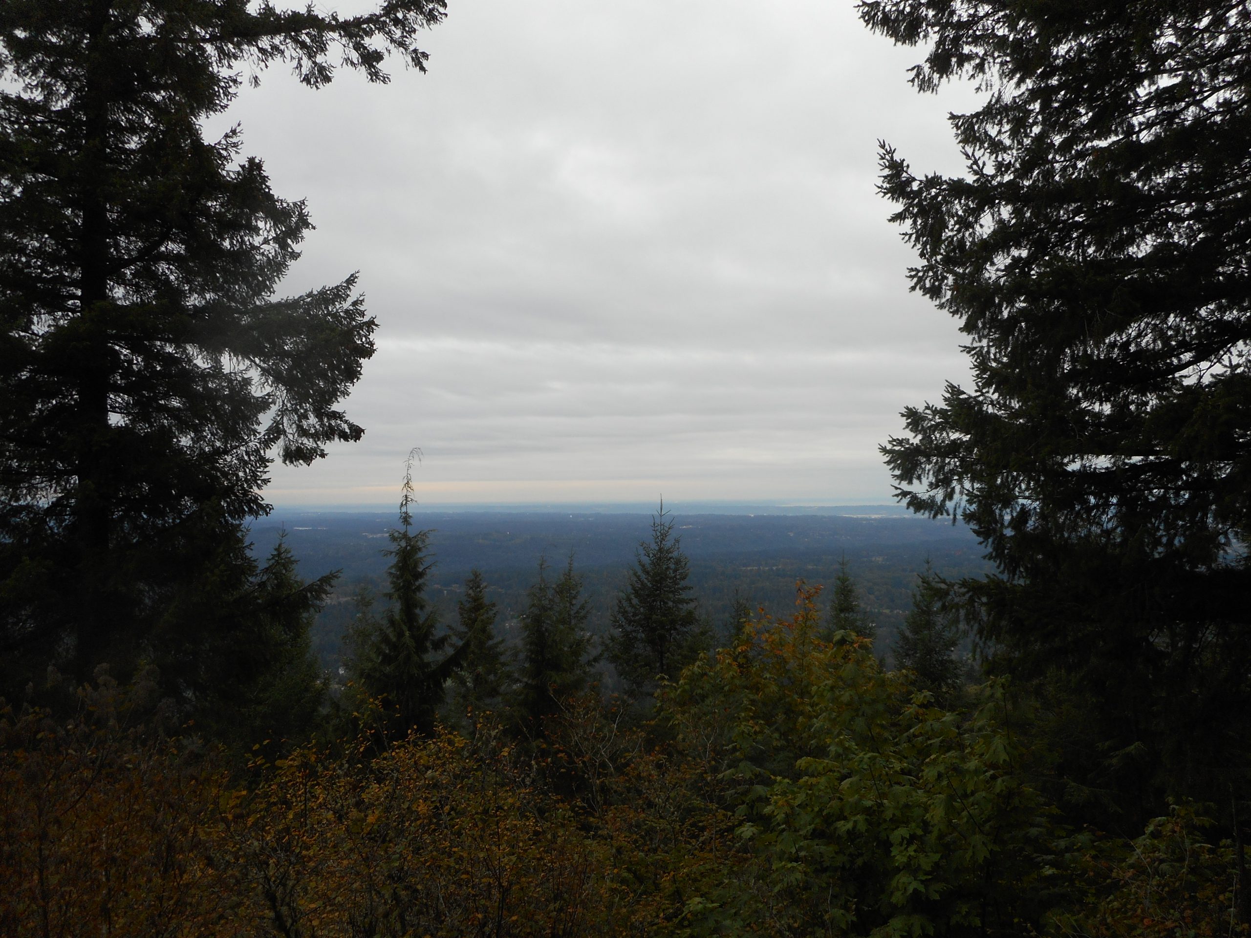
I got out today to the west side of Rattlesnake Mountain and went up to Stan’s Overlook.
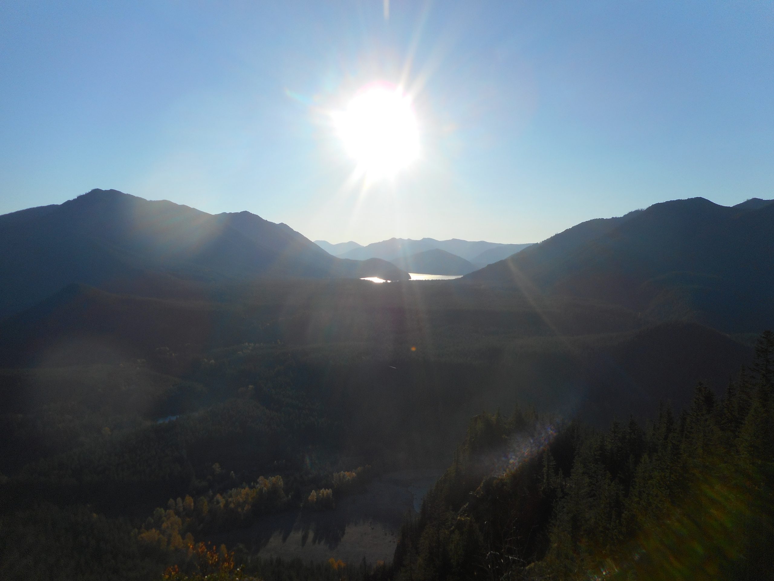
Rattlesnake is not exactly a massively tall peak and I didn’t even go as high as you can on the mountain (about 3,500 feet). But with the clouds so low today, I was able to have the fun of looking north from beneath the clouds (above) to looking north from Stan’s Overlook, which was above today’s clouds:
Above the Clouds
On the way down I noticed the sound of the Raging River and, after all, there are signs at the beginning of the trail informing you that you are entering the Raging River State Forest. And the river does rage, or at least it is loud enough:
Raging River
All in all a decent workout. I saw exactly zero people on the trail today, perhaps because it was raining for the first half of the hike and that keeps most of the bikers and hikers away.
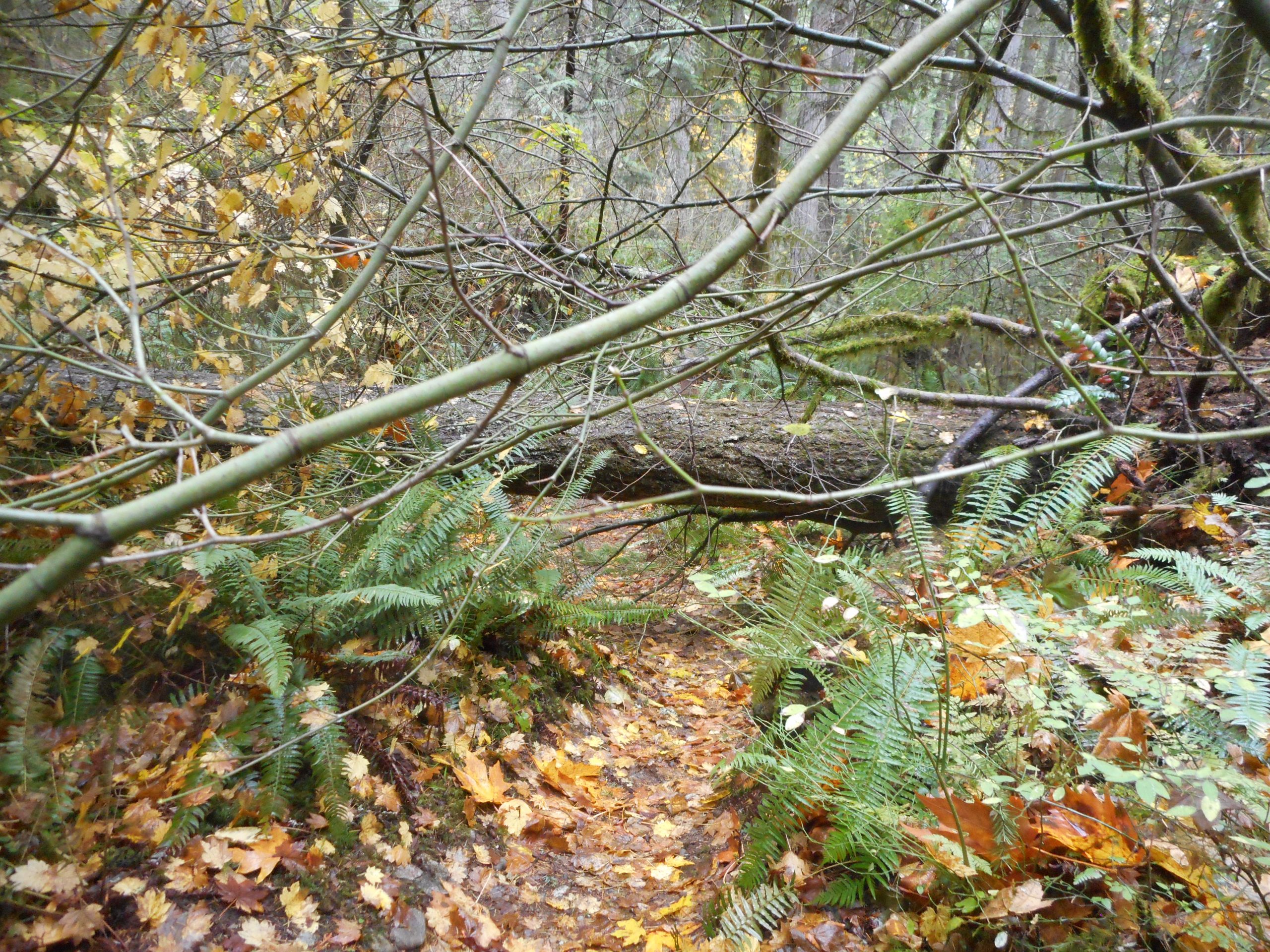
I haven’t hiked since last Thursday. It has been rainy and very windy around here. The rain doesn’t stop me but the wind does. Last Thursday the wind was just starting up and I heard a tree come crashing down not far from where I was. Really, the forest is not the safest place to be when the wind is howling.
I did my normal Section Line conditioning hike today, and there were a few large blow downs, such as the one above. In the photo it looks easy, but in fact it was a bit tough because the branches underneath it made it tough to go under, and it was large enough that I had to do a bit of climbing to get over. Naturally, I am glad I was not hiking there when it fell.
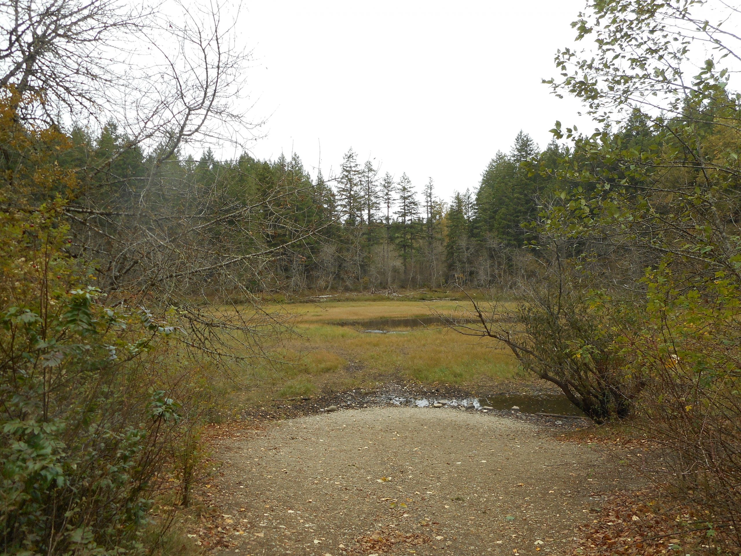
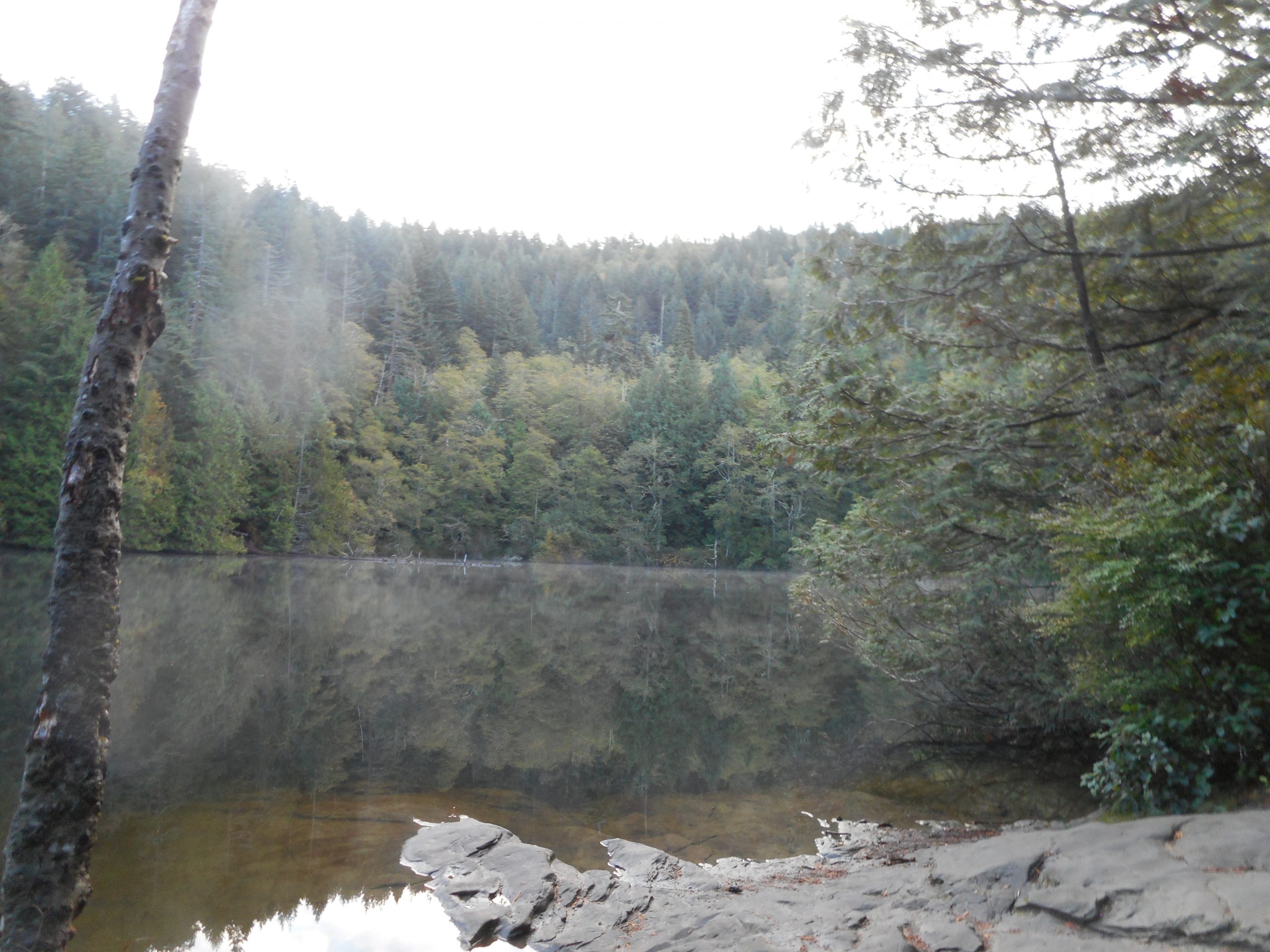
In spite of all the rain Round Lake was looking like a puddle:
This is Where Round Lake Should Be
This confirms for me that this little lake formed and is filled by the snow melt, not by the rain. In either case, it was nice to get out again. This weekend is supposed to be decent and as of now, Derek and I are scheduled to get out again, perhaps back to Quartz Mountain for another attempt, this time starting from the other end.
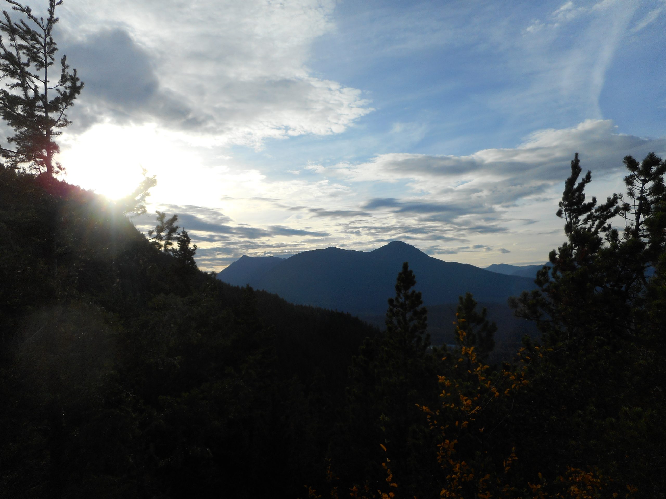
(l-r) McClellan Butte, Change Peak, Mount Washington
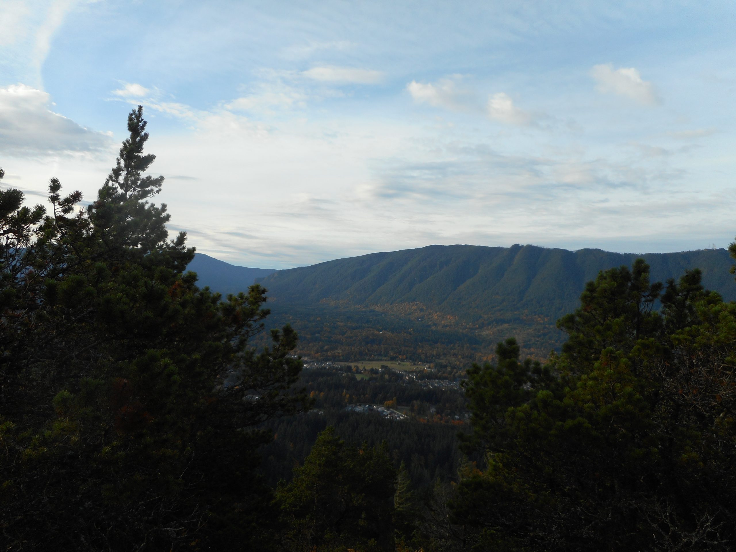
After the difficult hike on Sunday with Derek I did Little Si today, including the Boulder Garden Loop. It was about 5.4 miles and a bit less than 2K elevation gain (lots of ups and downs), a good workout and, of course, lots of fun.
I usually avoid this hike because of the crowds but I figured if I went early on a weekday it wouldn’t be so bad. I did see maybe a dozen people on the way down but, having started at headlamp time, I was ahead of the throngs. It is a nice hike because it divides naturally into distinct sections.
The first .3 miles, right out of the lot, is steep. At that point I took the Boulder Garden side trail (and this is the trail that leads to the Old Si trail) and that trail is moderately steep for about a mile; if then goes down very steeply for .5 mile. I have taken it in the opposite direction a couple of times to get the extra-steep ‘up’ mileage in but today I settled for moderately steep up and steep going down.
At the end of the Boulder Garden Loop you are back on the Little Si trail and it is not steep at all for almost a mile. But the last .4 or so is steep again until you come to the top, and the nice views, as above and like this, a view of Rattlesnake Mountain:
Rattlesnake Mountain
Just below the summit of Little Si is a view point, looking up at Mount Si:
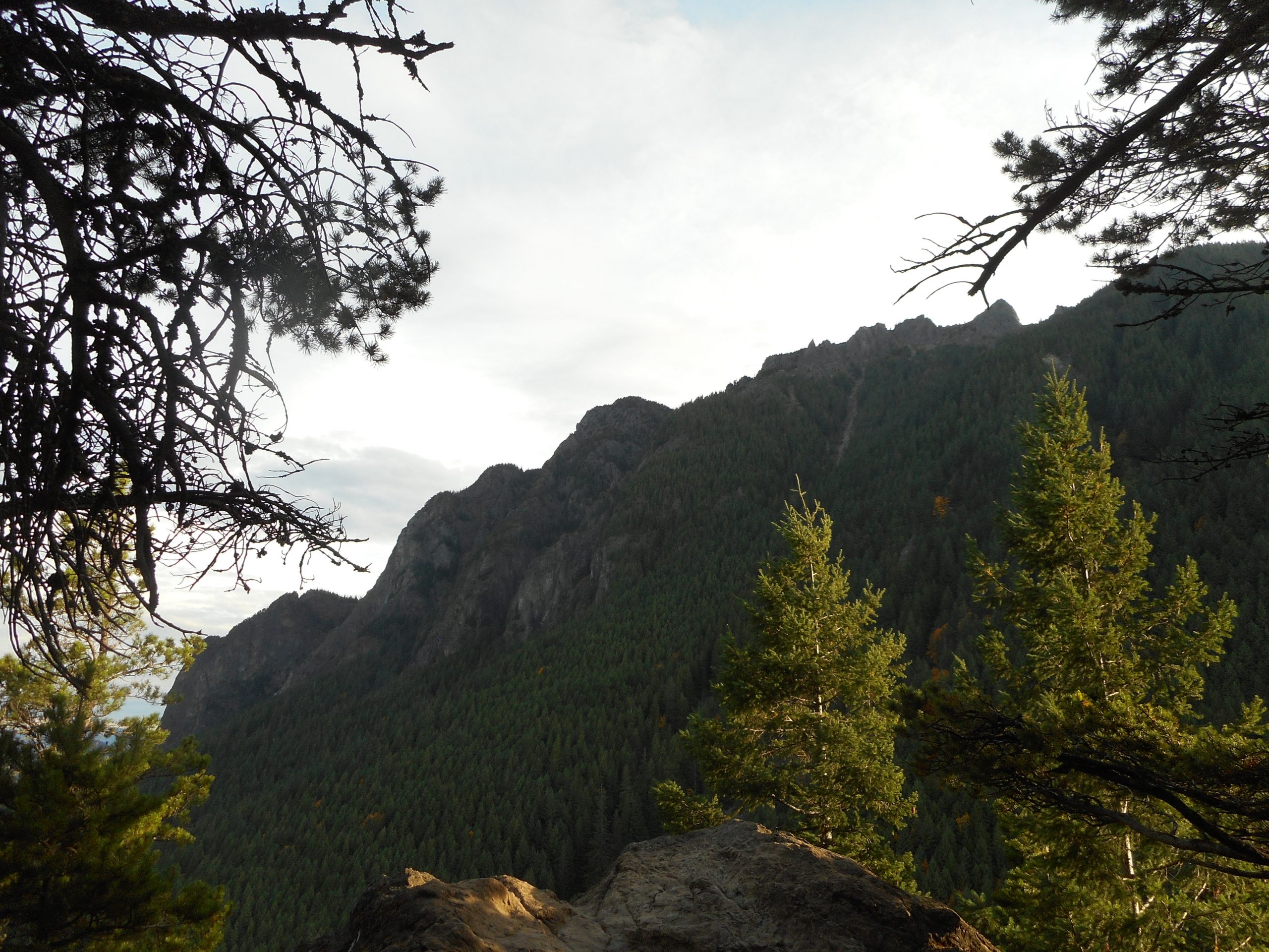
Derek and I planned to hike to Quartz Ridge, although we were not exactly sure where it was and how we would recognize it when we got there. But we knew the direction to go and took off.
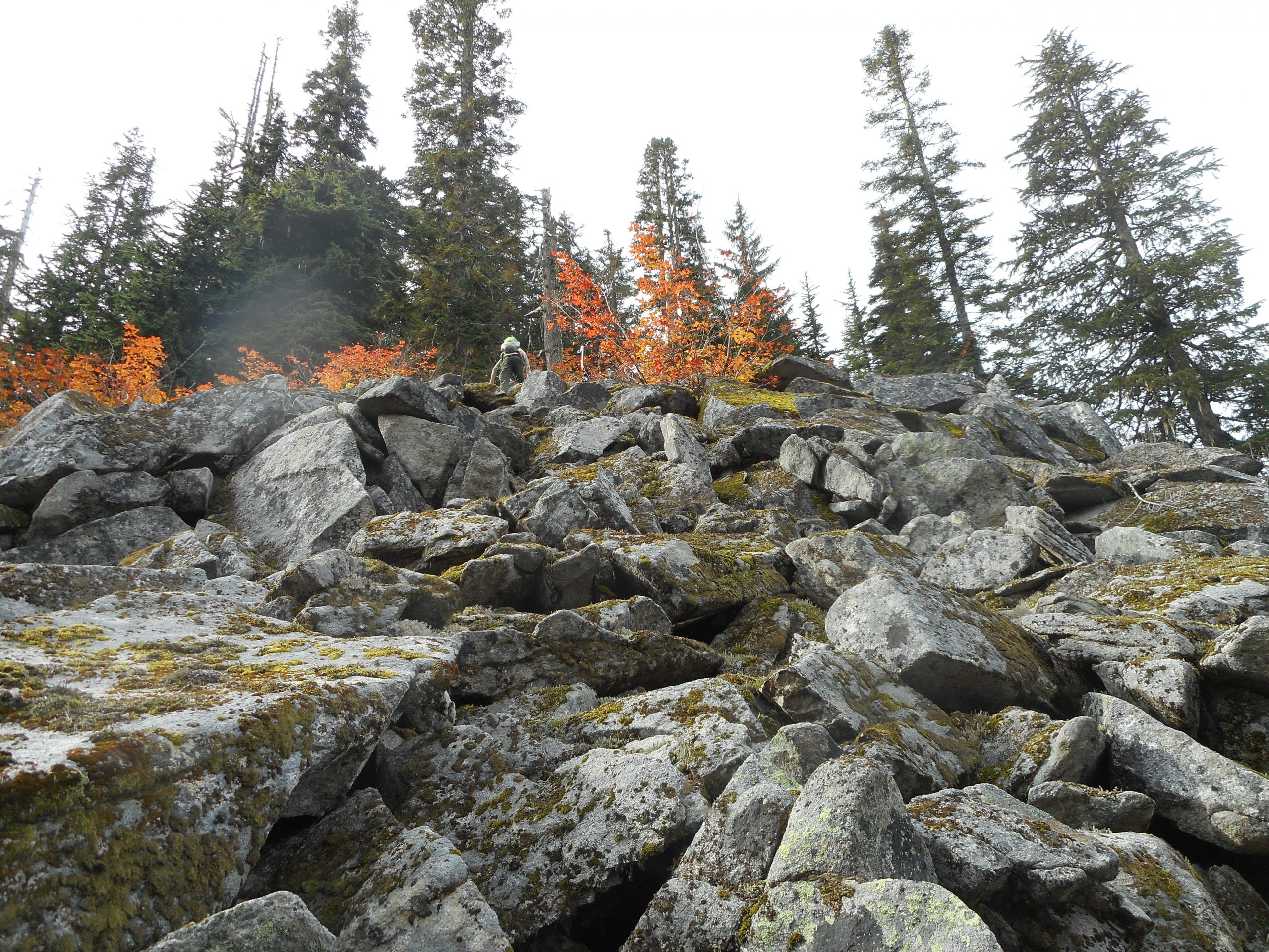
We wound up (I am pretty sure) going past Quartz Ridge, up and up and up the side of Quartz Mountain. As you can see from the rocky picture below, at a certain point we were not dealing with what anyone would call a trail, we were just heading up. Straight up. There were a few pink flagging tapes in the lower branches of trees for us to follow. We left a few ourselves, and glad we did because coming down it was very easy to stray from the path we took on the way up.
Going up the Talus
I called it for the “up” at 3,700 feet but Derek grabbed the Garmin and went up to 3,900 feet. As you can see from the track, we were heading in the direction of the East Peak of Quartz Mountain but in the field we were not quite sure where we were.
We started at the Middle Fork parking lot, crossed FR56 and headed up the CCC Road, created in the 1930’s by the Civilian Conservation Corps. We were only on that for about .5 mile and there was the unofficial trail to the site of the former Nordrum Lookout.
It was a lookout from the 1930’s to the 1950’s – it was used for spotting planes during WWII – but the trees, which had been clear cut, grew up and there is no longer a view from Nordrum Lookout. All that is left is a few strands of cable and the four corner foundation pieces.
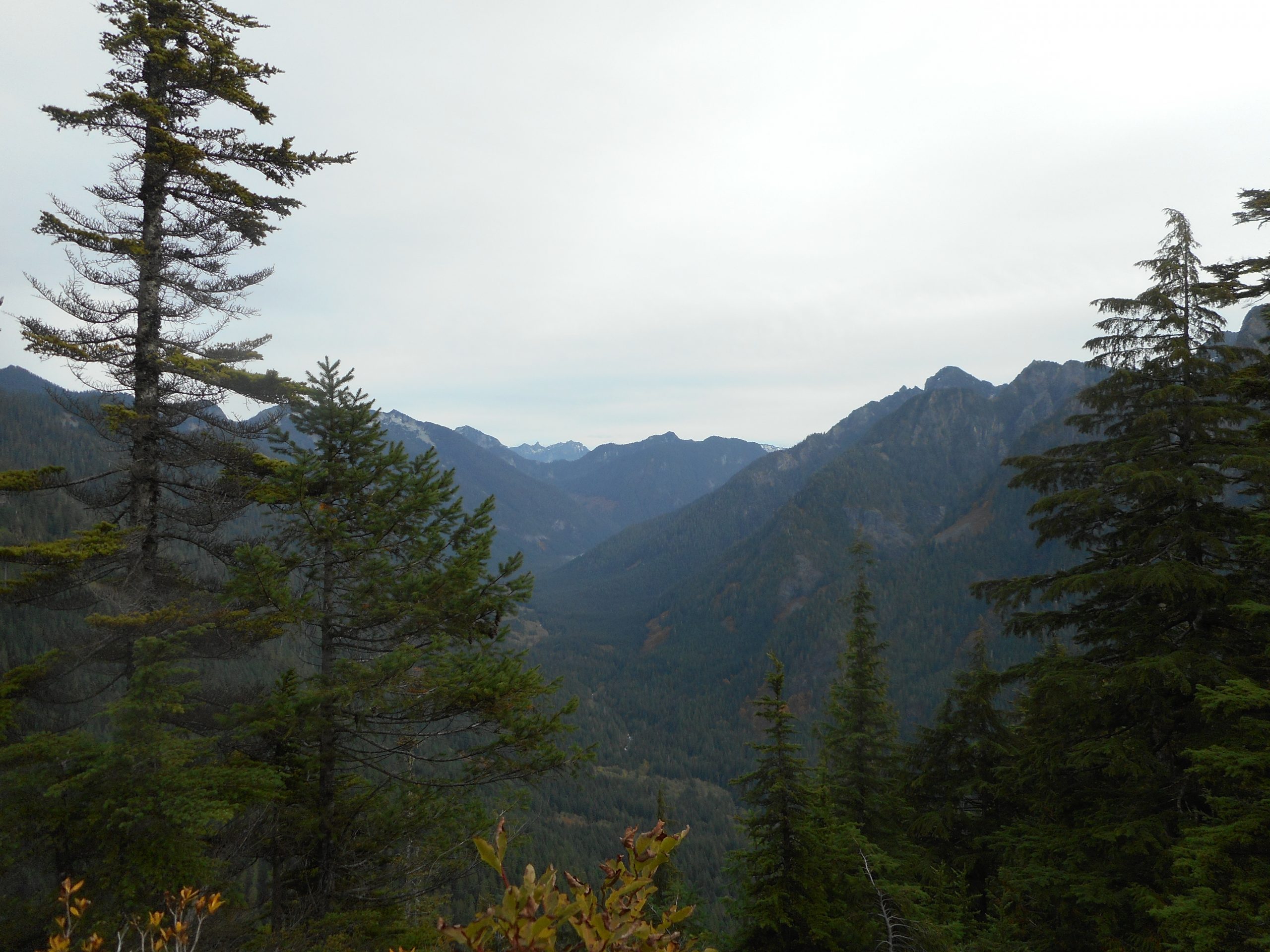
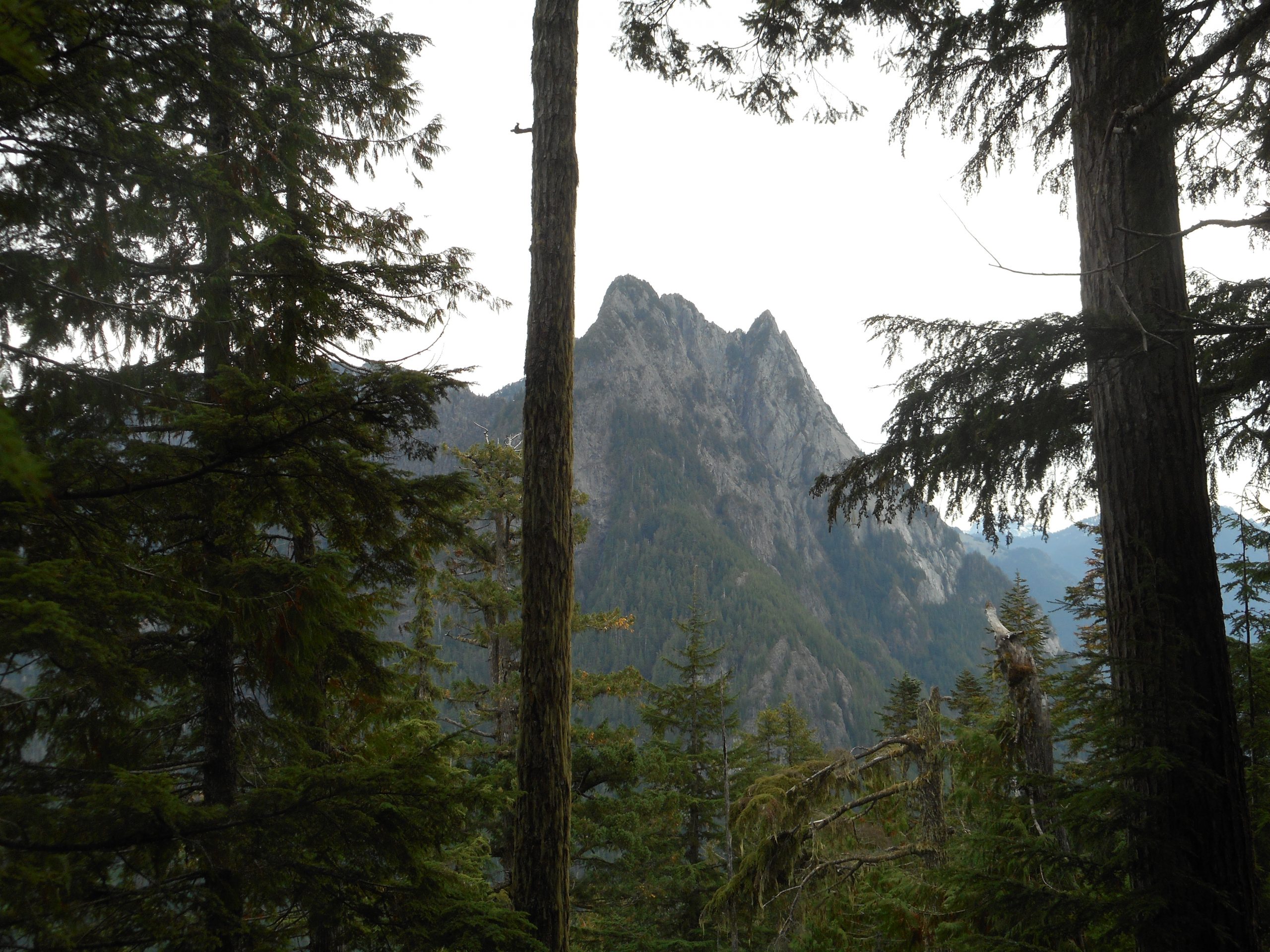
From there we followed an older trip report and went down a gully, up the other side and ‘up’ was the direction for the entire rest of the way. I believe the fabled Quartz Ledge was a spot we hit at about 2,550 feet. It had a good view point and sort of resembled a ledge. Here is the view:
The Pulpit
There was more or less a trail up to the ledge, but from there it was strictly bushwhacking and the occasional pink tape. But that’s OK, we loved it. This was an awesome hike, we had a super time and we might come back some day – like when the snow is gone (this place will be covered with snow soon enough) and see if we can make it all the way to the summit of Quartz Mountain. At least, we know it will be a terrific workout and fun to try. It was 5.6 miles but felt like more than a dozen.
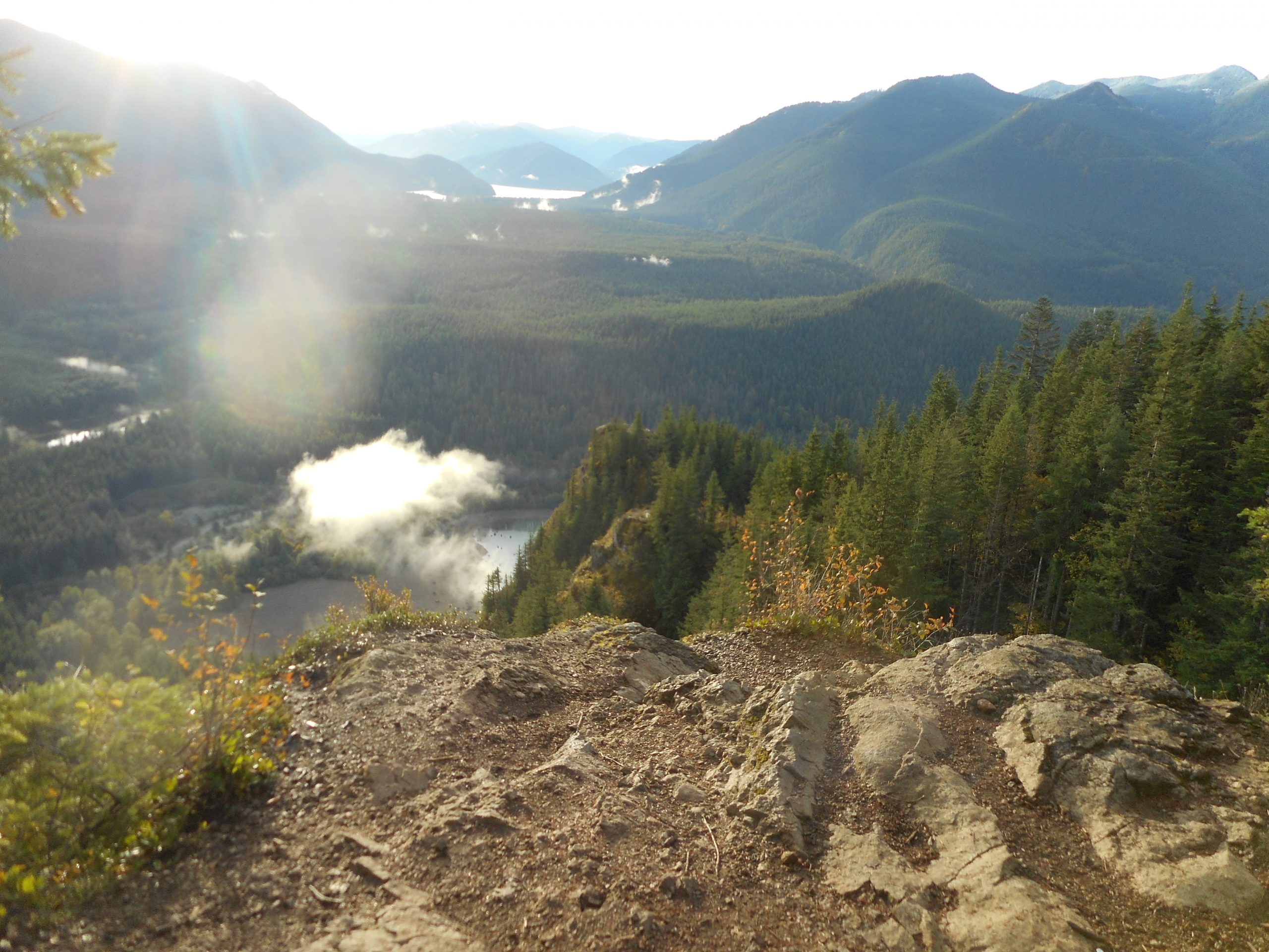
I hiked the Rattlesnake Mountain trail from the Exit 32 trail head up to the Upper Ledge. I generally avoid this trail because it is so popular. On a summer weekend, it is literally like being in downtown Seattle, if downtown Seattle was a lot hillier (and it is hilly enough).
But the trail is really nice – upgrade during the Covid shutdown last year – and it is a very good workout. I took a chance today that if I started early (I left the car at 7:15 am) and went past the most crowded spot, Rattlesnake Ledge (the lowest of three ledges) I would luck out. And I did.
I saw one person on the way up and maybe 6 or 7 on the way down. Nice!
Great views from the ledge, looking down towards the lake and to a nearby splash of color:
Looking DownFall Color
Here is the track; it was about 5.2 miles, 1,7000 feet of elevation gain, a fun way to start the day.
I like this hike, it is about 6.5 miles (all the way to Debbie’s View) round-trip and maybe 2k elevation gain but it has a gate and the gate doesn’t open until about 6am. Rather late for me for the week because I like to avoid the traffic. The weekends have less traffic on the roads but more traffic on the trails but what the heck. I started up the trail this morning at 6:30. Mine was the first car in the lot. How nice! What an energetic fellow am I!
But not so much – just as I was starting up the trail I saw a headlamp of a trail runner coming down. Since there was no other car in the lot, this guy obviously started at the other end of the mountain (like on SE May Valley Road) and had gone all the way over (about 6 miles) by 6:30. Sheesh.
And a few minutes later there he was, going back the other way. So this guy’s idea of a good workout was to run 12 miles up and down a mountain. Respect.
As I suspected, the trail was crowded with people going up as I was going down.
All I did was the 6.5 miles but it was enough. The view at Debbie’s View was not so great – no sign of Rainier – as it has been a grey day.
But there is some color this time of year along the trail:
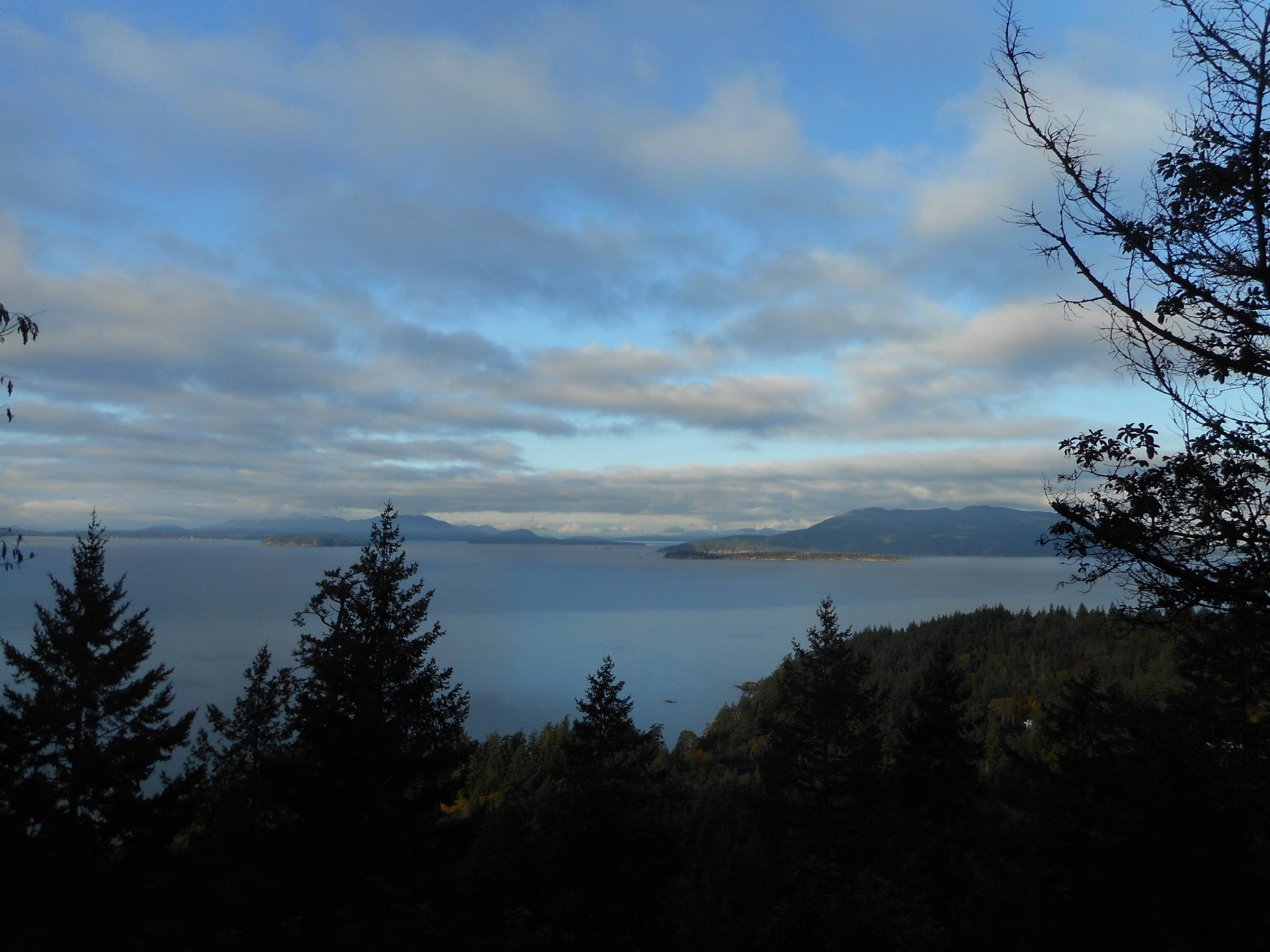
I have driven by the Fragrance Lake trailhead, which is located just off Chuckanut Drive a few miles south of Bellingham, many times. Every time, in fact, that we have driven up to the Fairhaven neighborhood of Bellingham. I always told myself I would check it out and today I did.
It turns out to be a decent, but not great hike. About 4.25 miles, including a .2 mile out-and-back viewpoint (of the Puget Sound, looking towards the southern spit of Canada):
The Sound
A beautiful day, workout enough and when I was done I drove up to Fairhaven and walked around. It was by then about 9:30 on a weekday morning, the place was not at all busy and I enjoyed exploring this neighborhood. When I have gone up there with Jan, on hot summer days on the weekend, the place is as jammed as any touristy place can be. But today – not so much.