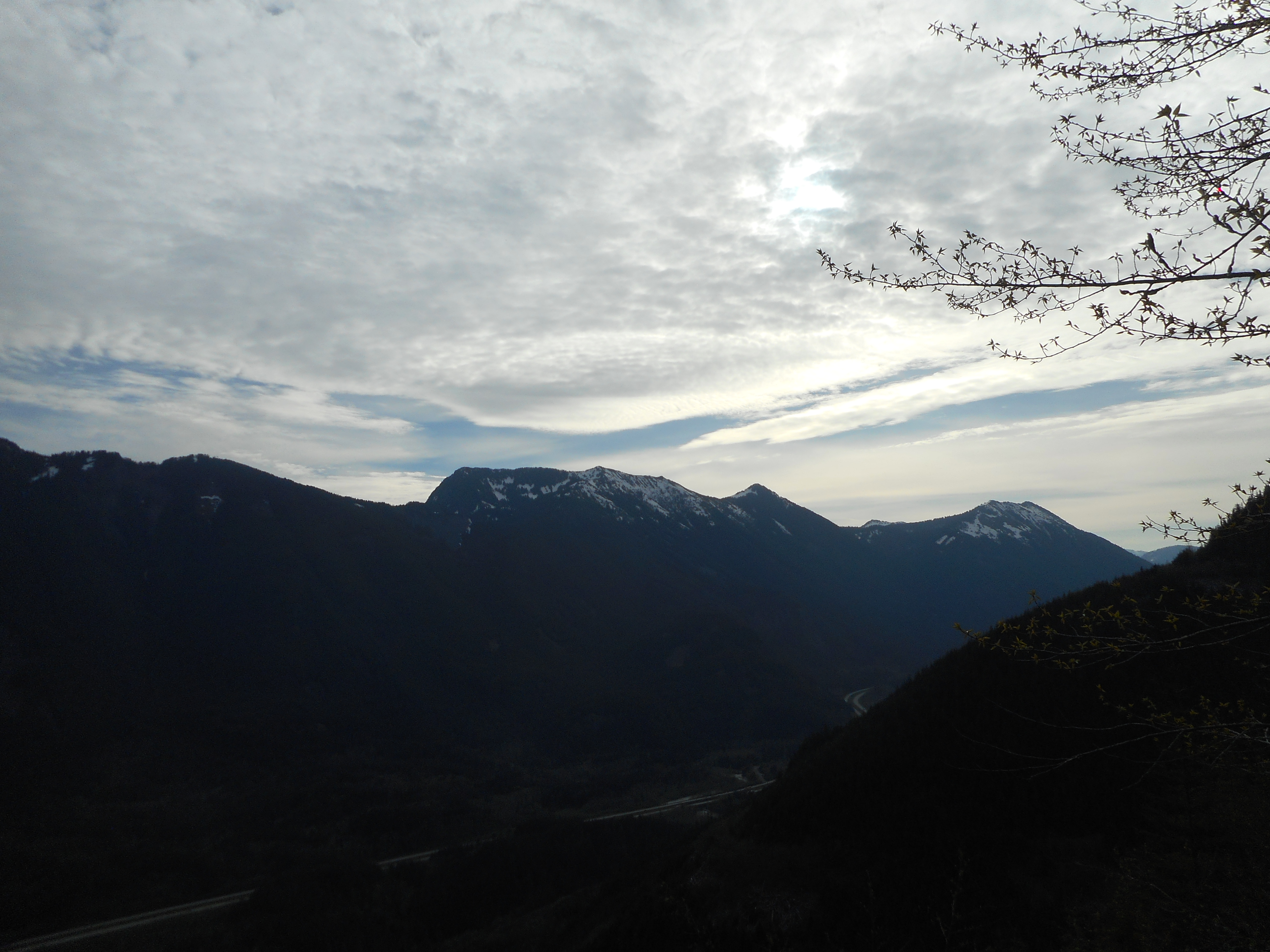
I did another solo hike today, short but very steep.
I parked in the usual lot off Exit 38, the one past the Mt. Washington lot and went up the Hall Creek Connector trail again (like last Saturday) but this time, instead of continuing on the Zig Zag Trail, I went west to Change Creek Trail.
This is really a wonderful trail. This is only the 2nd time I have hiked it solo, so I had plenty of time to drink in the amazing variety on this trail, from its semi-hidden start off the IHT to the top of J’s Landing. There are so many different looks to deal with.
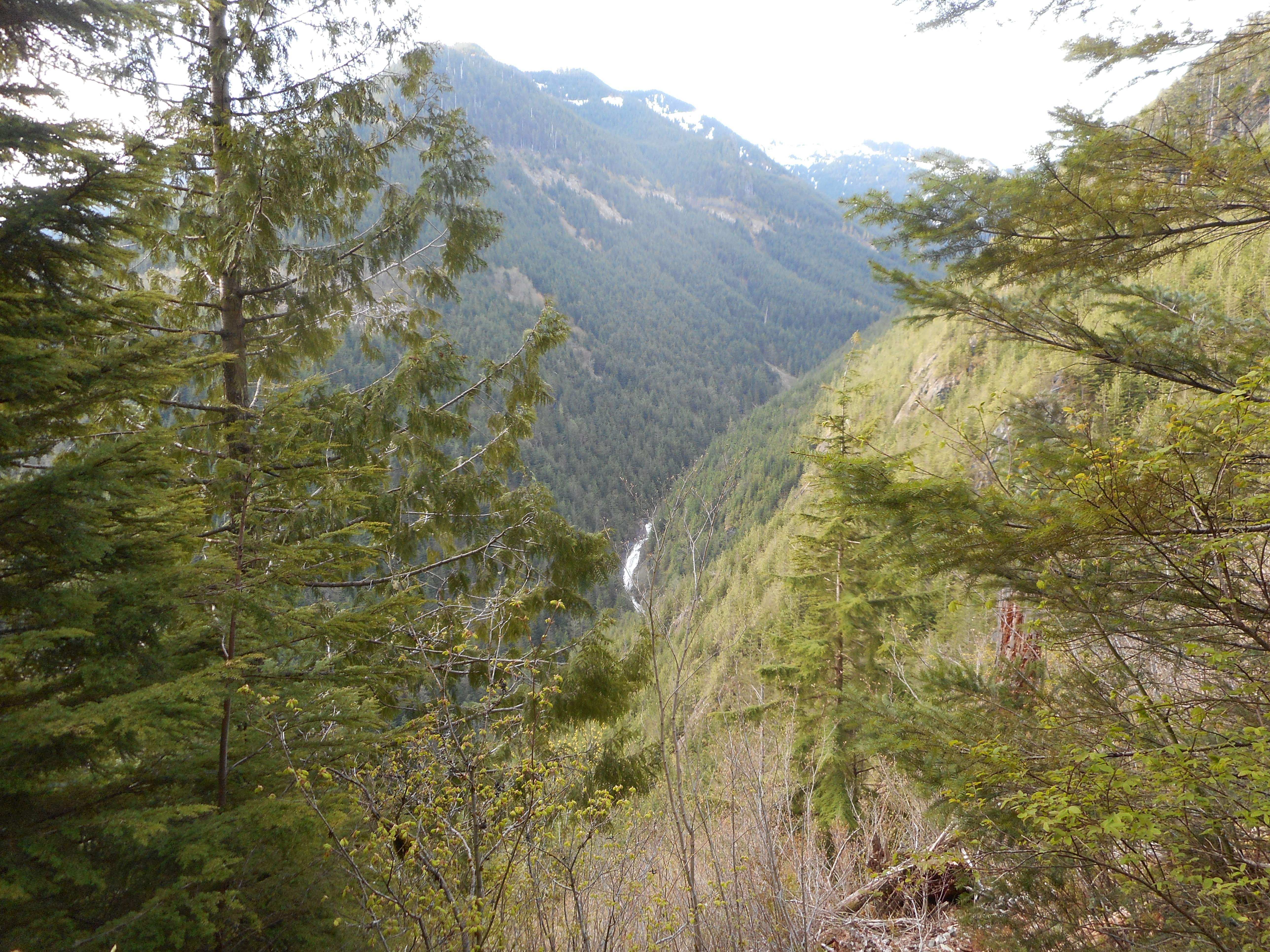
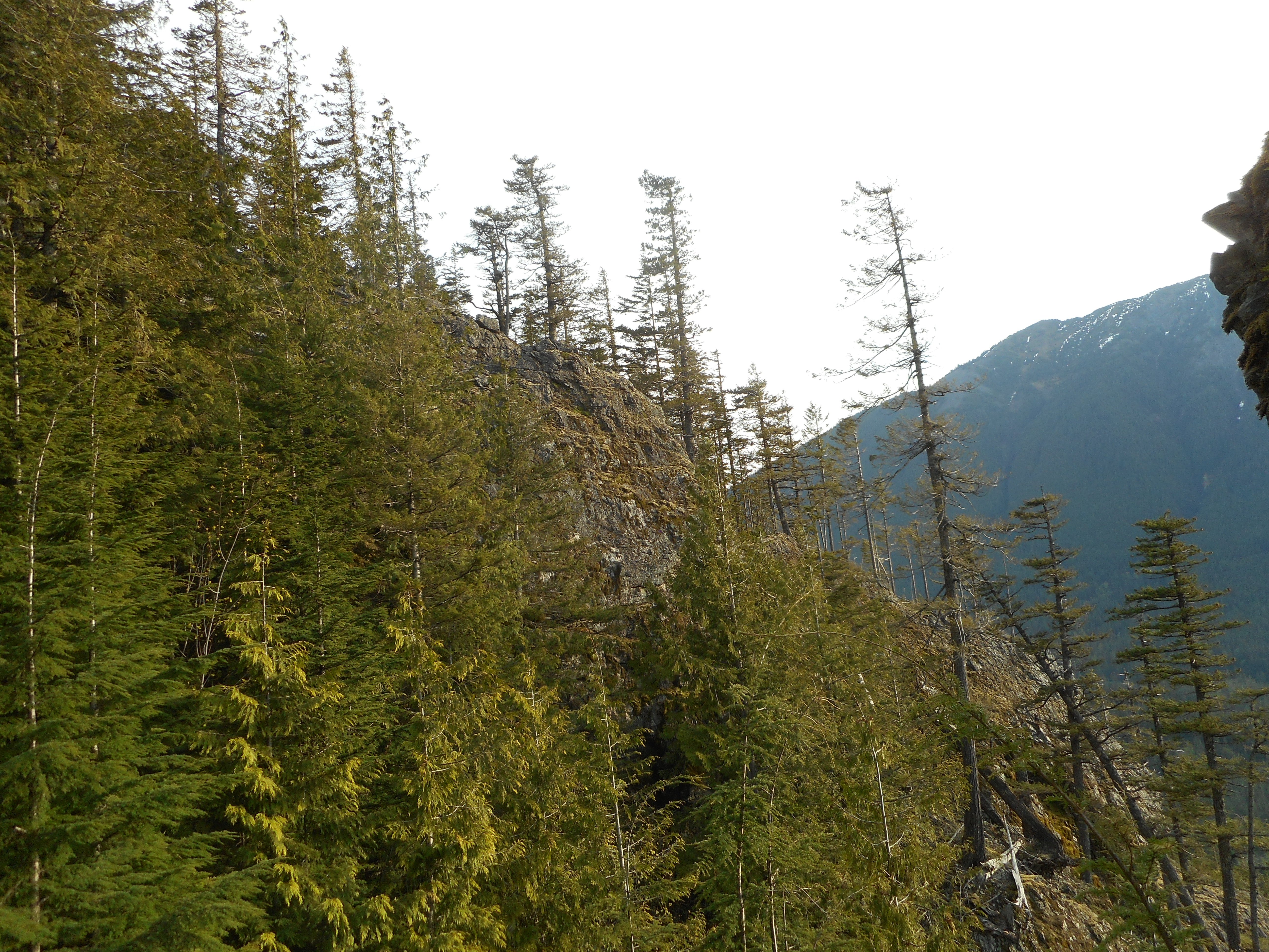
After the first 1/3 mile or so you start to see openings through the trees, like the one above, looking east. That’s a waterfall on Hall Creek in the distance. Plenty of eastern views and a few western ones. There are also a lot of interesting rock formations around:
J’s Landing is a few minutes south of Hall Point, which has a nice, easily noticed sign. But where there used to be an obvious sign for J’s Landing, there is now a sign that says something like (I forgot to snap a photo) ‘MMM Ridge’ – referring to a ridge above J’s Landing that ends in a bushwhack section up and down a ridge.
I hung some pink flagging tape on the trail as an extra visual heads-up for the side trail up to J’s Landing.
Anyway, the ridge ends on a service road and you can bushwhack further up to Mid Mother Mountain.
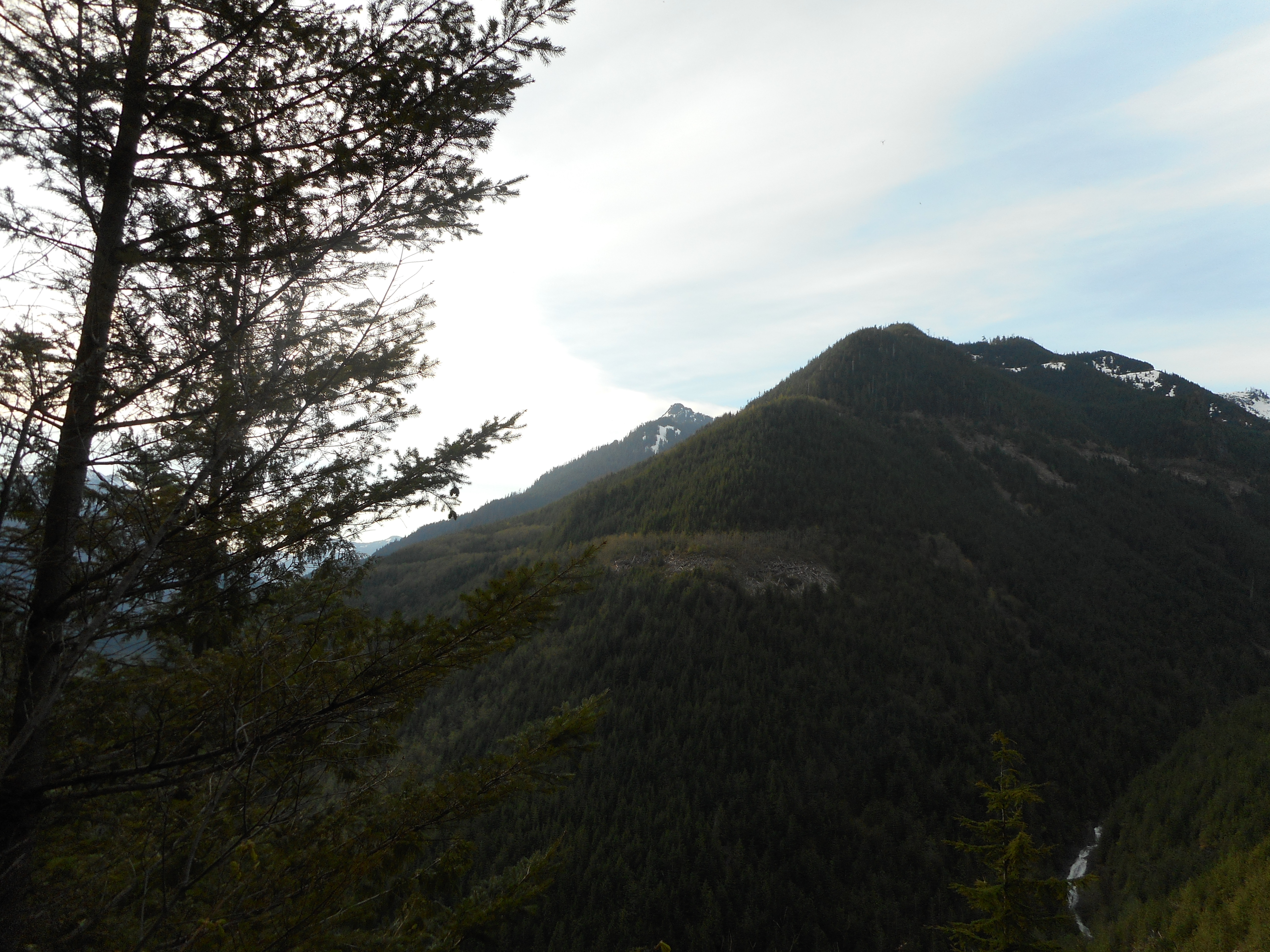
Pretty much the entire way the views are awesome. I will be back soon.
Here is the track.
https://adventures.garmin.com/en-US/by/djhiker/change-creek-to-js-landing-5-10-2017#.WRNj-Ny1upo