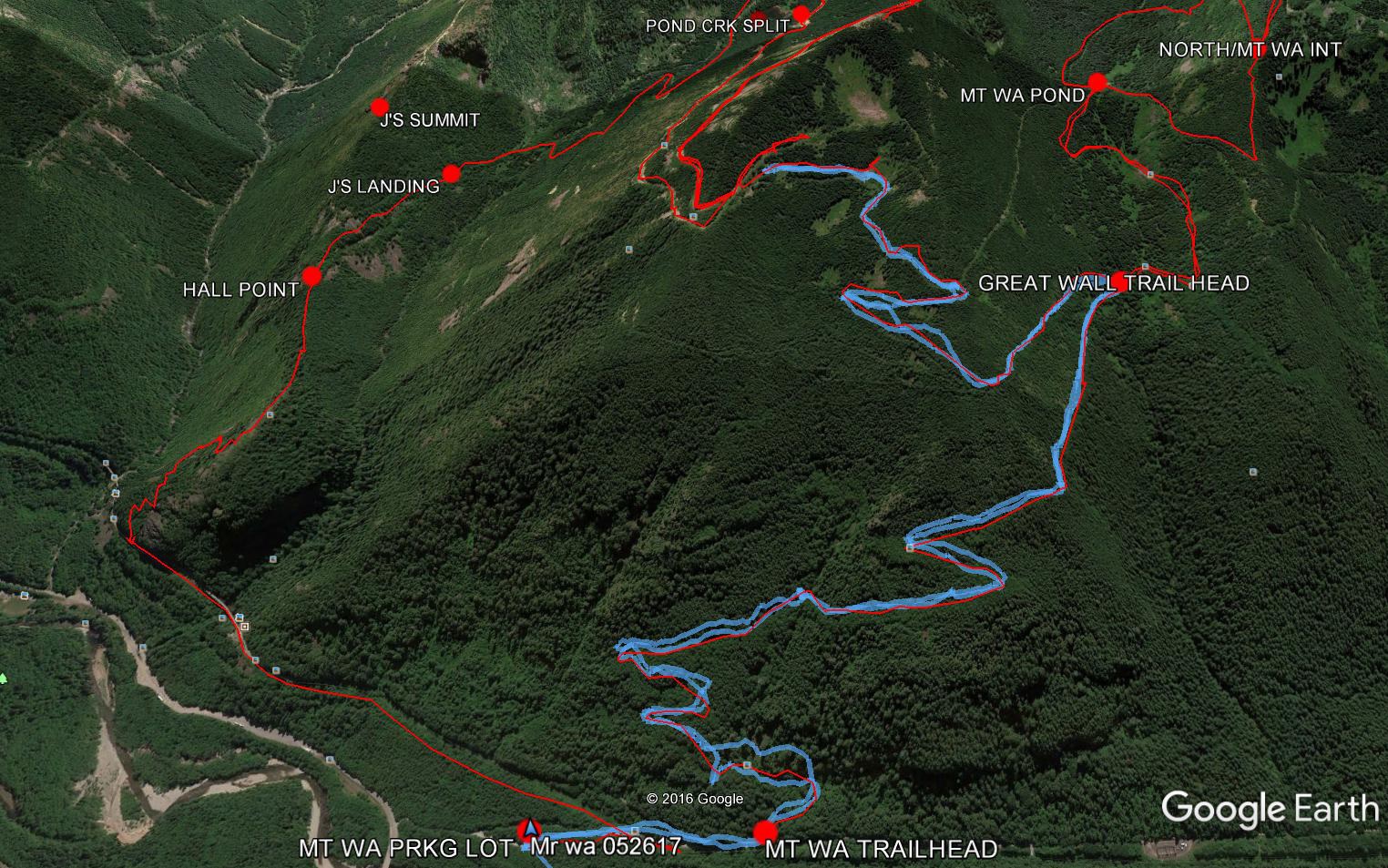
My plan today was to hike Mt. Washington via the Great Wall, or at least see how far I could get. The above snip from Google Earth shows I got almost to the intersection with the Change Creek Trail.
The problem was the snow, which, as the sun rose higher, was getting annoyingly soft:
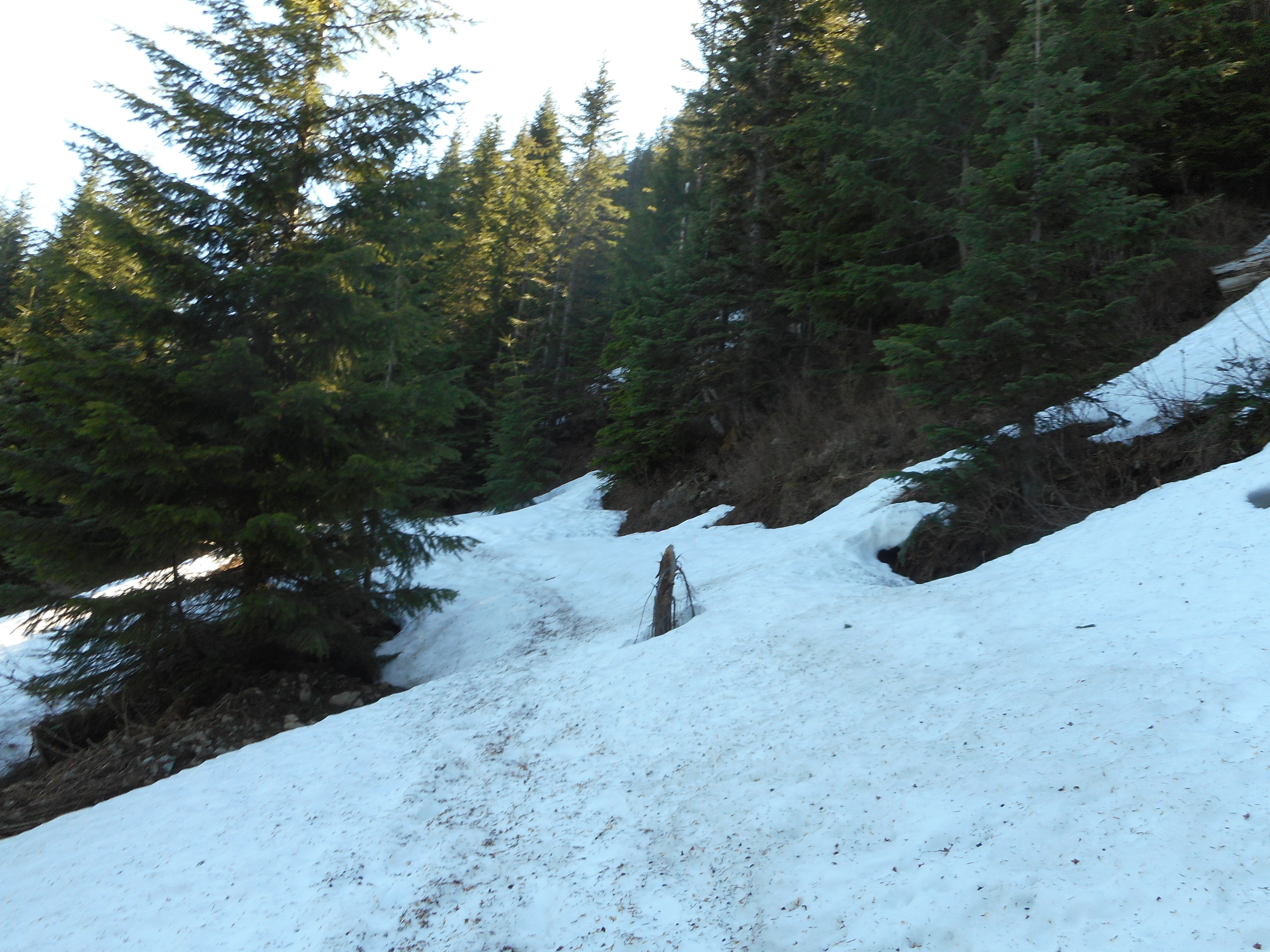
At first, walking on the snow was no problem. But as it started to soften, and get slick, I was sliding and post-holing. I had to get to Snoqualmie in time to take Finley to a movie so I turned around.
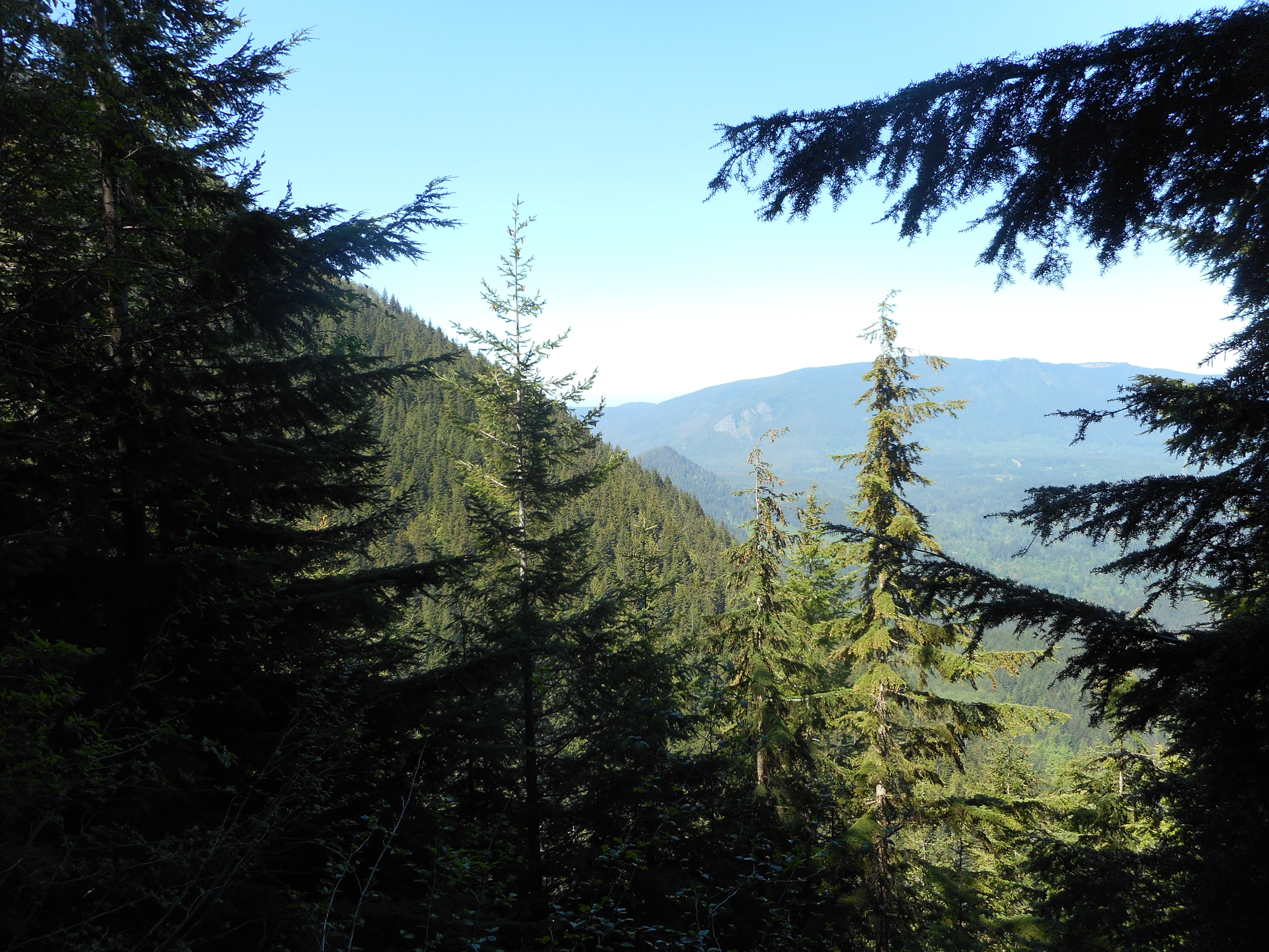
Speaking of Fin, she and I have hiked Cedar Butte a couple of times and I thought she might like to see this picture of Cedar Butte, from about a mile and a half up the main Mt. Washington trail:
A fun hike although I would have like to have gotten farther. Not sure what I did since my Garmin did not correctly record the track. It gave me the entire drive from my home to the trail, plus the hike. I estimate about 7 miles, 2600 feet of elevation gain. A beautiful day!