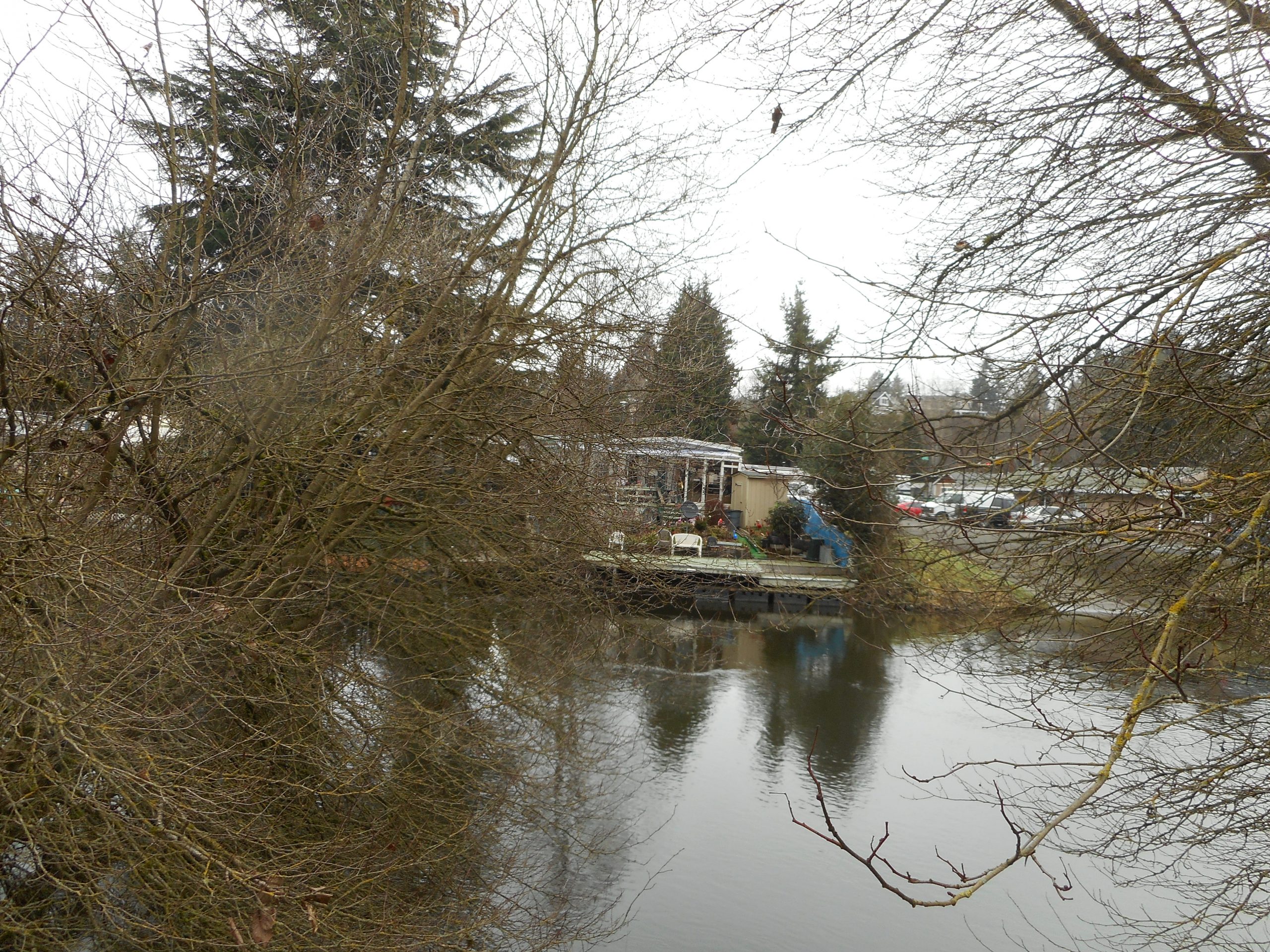
I was back on the CCC trail, this time in the rain, looking for my Garmin. Once again I was stymied, the reason today: my branch clipper broke:
Snap!
I turned around and on the way home picked up a new one. Unless the weather is even worse tomorrow, I will be back, looking for my poor lost little Garmin.
I went back to the CCC trail, looking for my Garmin but I was stymied at the spot where you have to go way off trail to get around the blockage. On Friday, somehow I found the trail again, but today I turned around.
Tuesday I will go back and start at the other end.
I did find the water bottle I dropped Friday but the Garmin remains elusive.
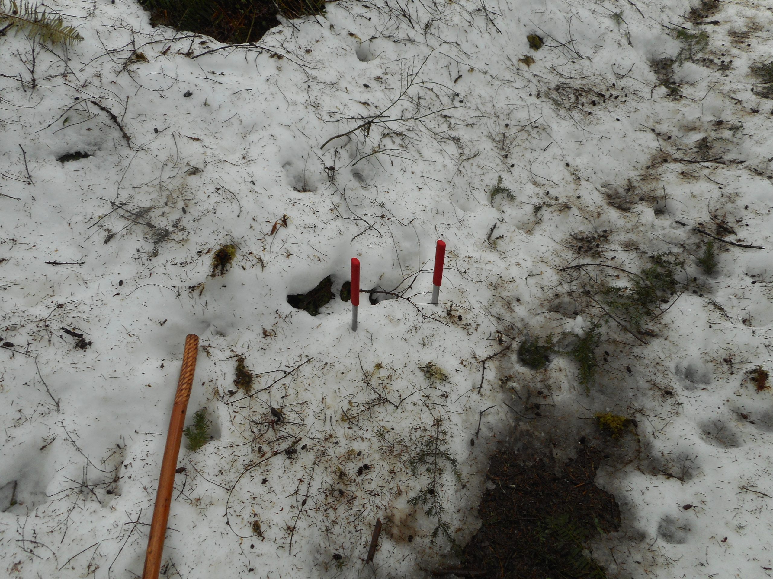
One slightly ominous note is that I found more and more bear tracks. Black bears do not totally hibernate in the winter and at least one of them is wandering around in the vicinity of the CCC Trail. I have my bear spray and I am definitely hyper-aware of my surroundings.
I almost always have fun on my hikes but today – not so much.
I had heard via WTA trip reports that the Middle Fork Road had been cleared of snow and trees so I figured I would drive to the Middle Fork parking lot and hike up Garfield Ledges from there. It was a reasonable plan but stuff happened.
The lot was closed today for plowing and maintenance. No problem. I decided to drive to the Garfield Ledges parking lot but about 50 yards down the road I could see it had not been plowed so I very carefully executed (the road is narrow) about a 15-point turn and drove back down to a turnout near the CCC Trail. I parked there and walked a couple of hundred yards down the road to the CCC Trail, headed NE (the trail also heads in the other direction).
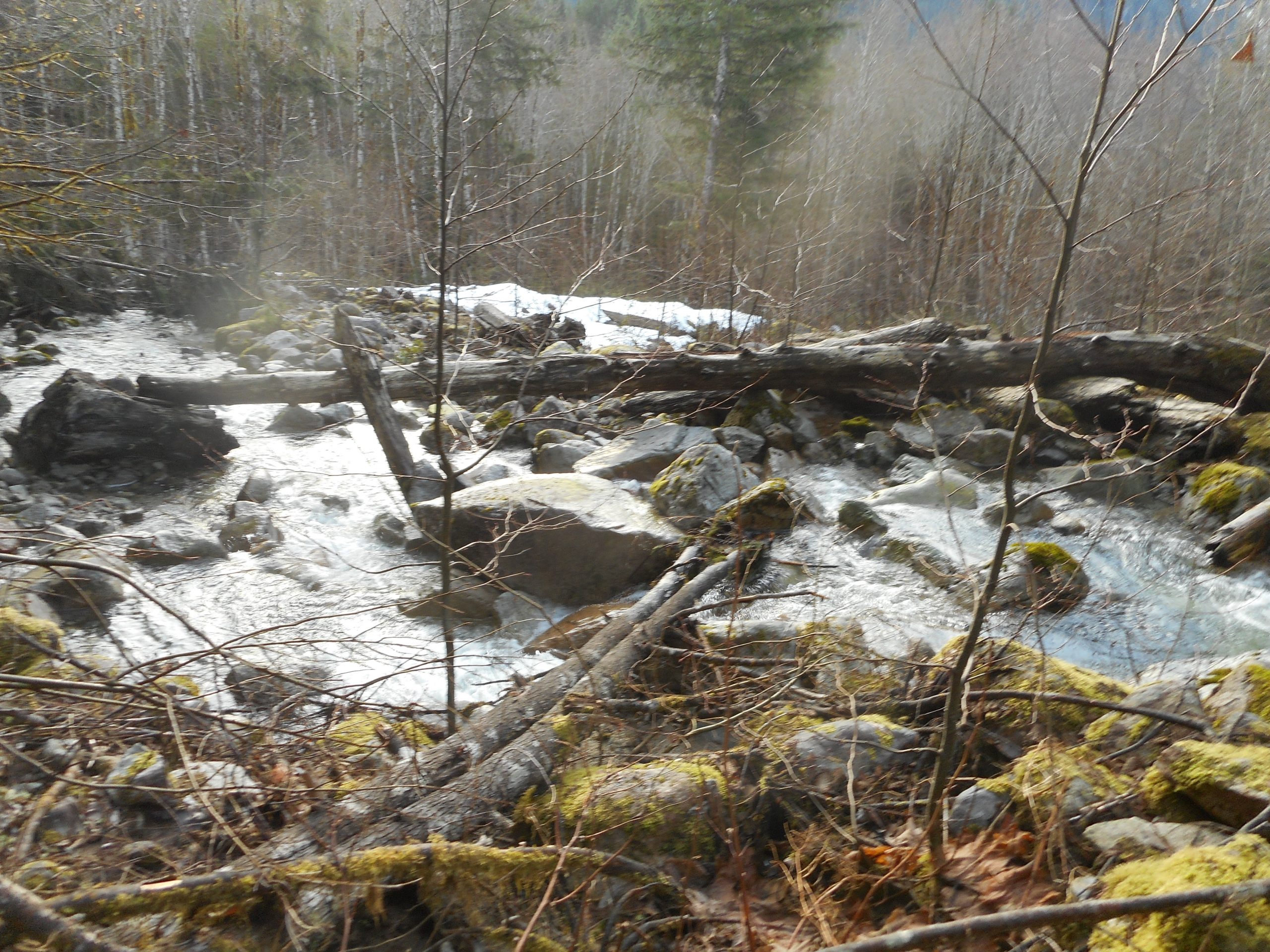
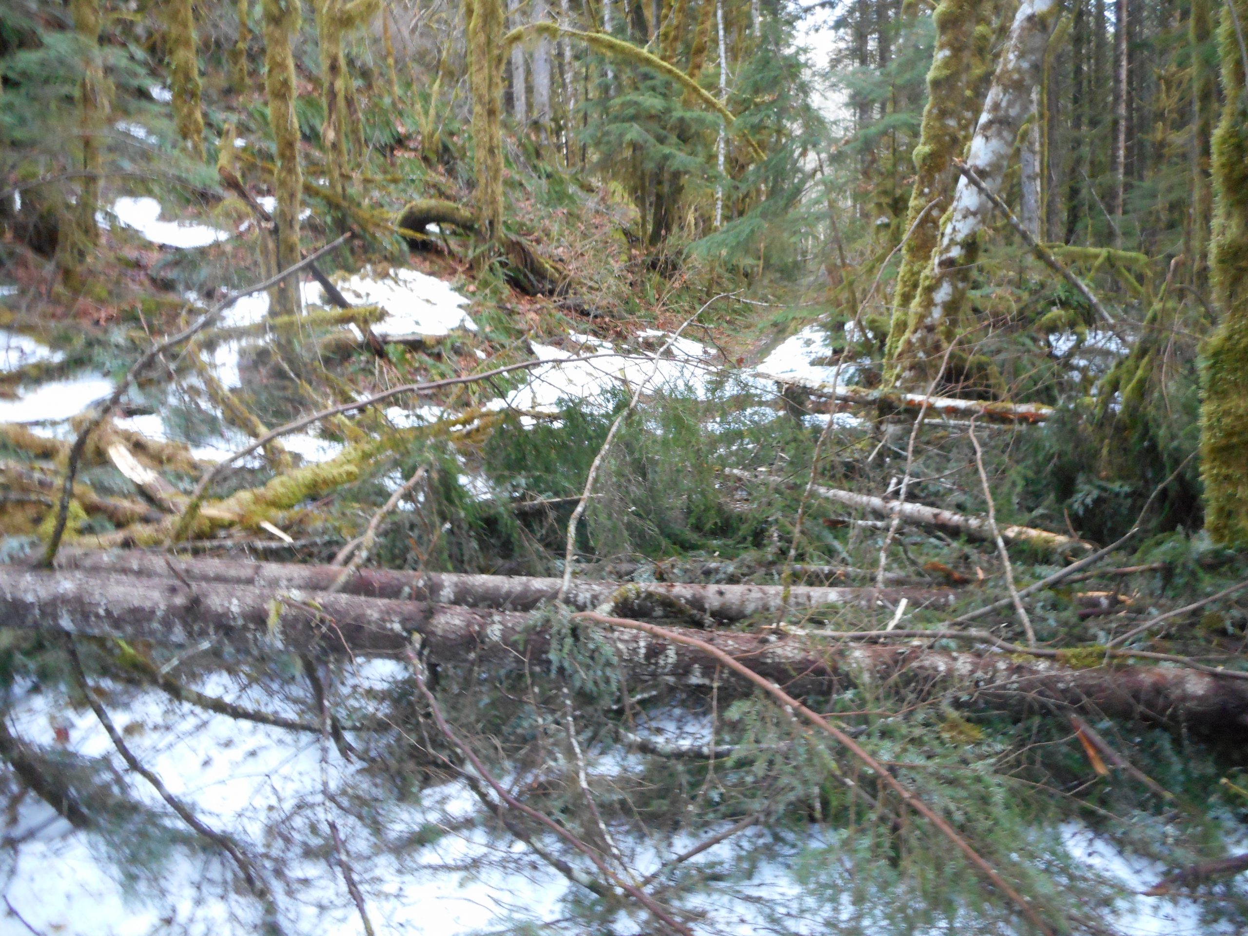
Shortly after I got onto the trail I started to encounter nasty blowdowns such as:
Bad Blowdown
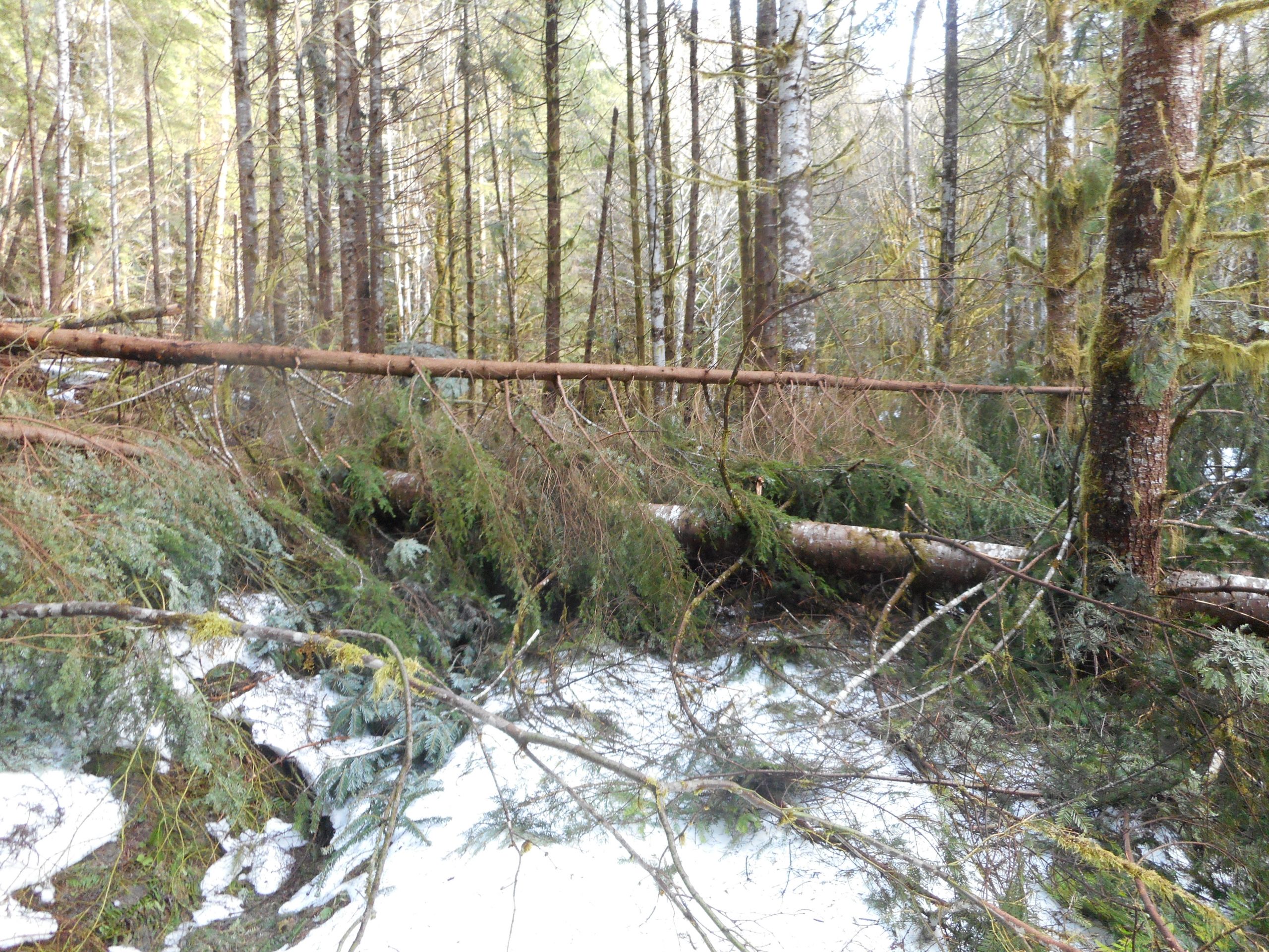
I should have turned around but, like a stunned cow I kept going. It got even worse:
Worse Blowdown
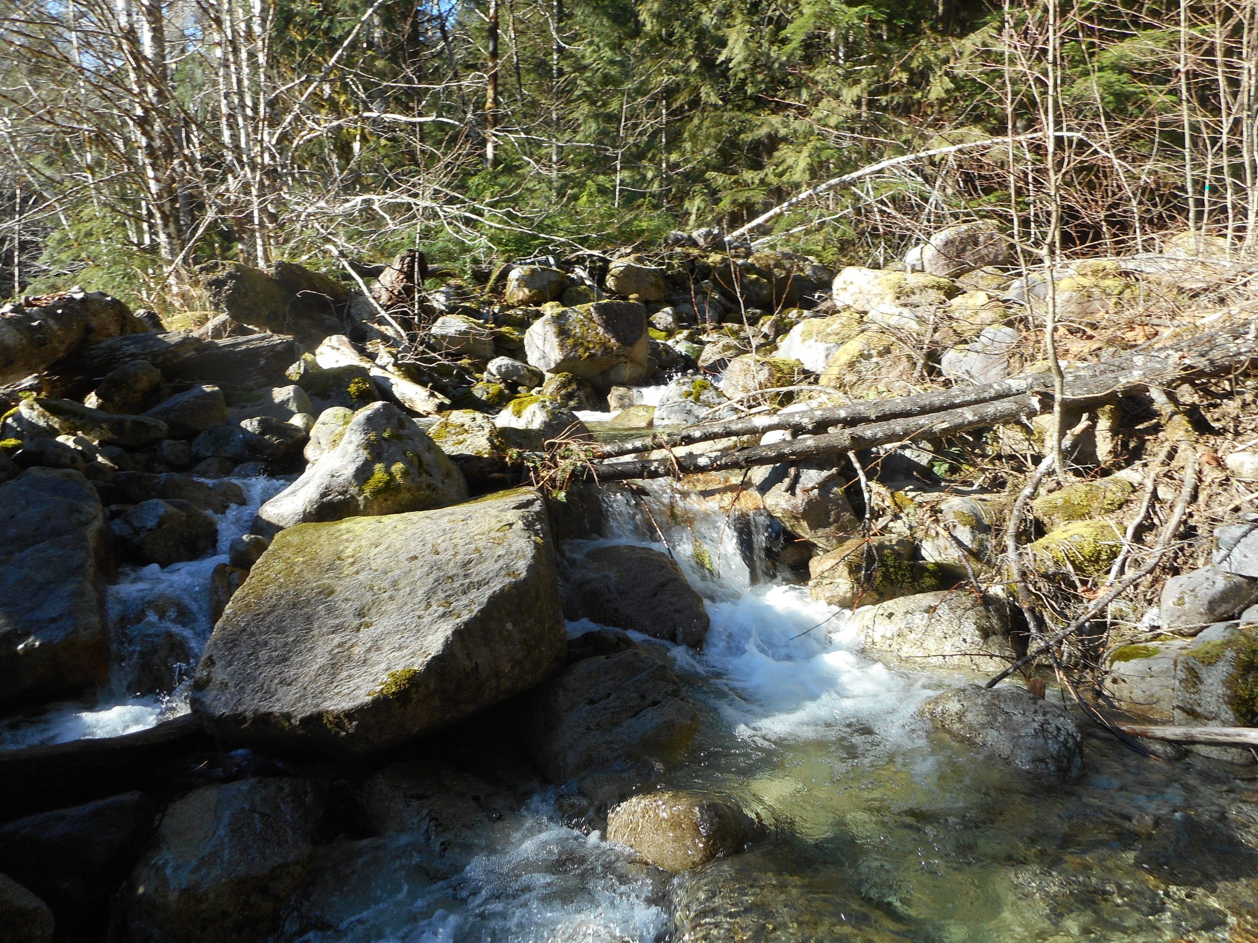
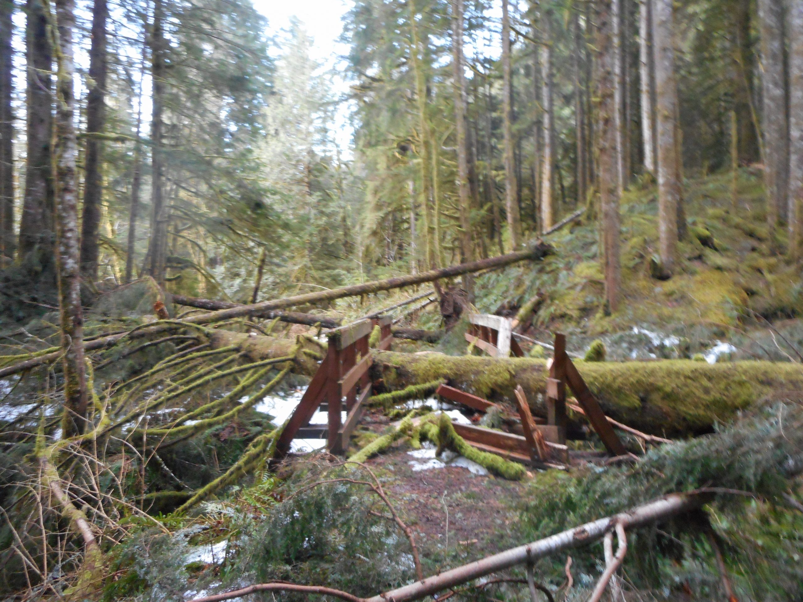
Several of the little bridges are out of commission such as:
Bridge
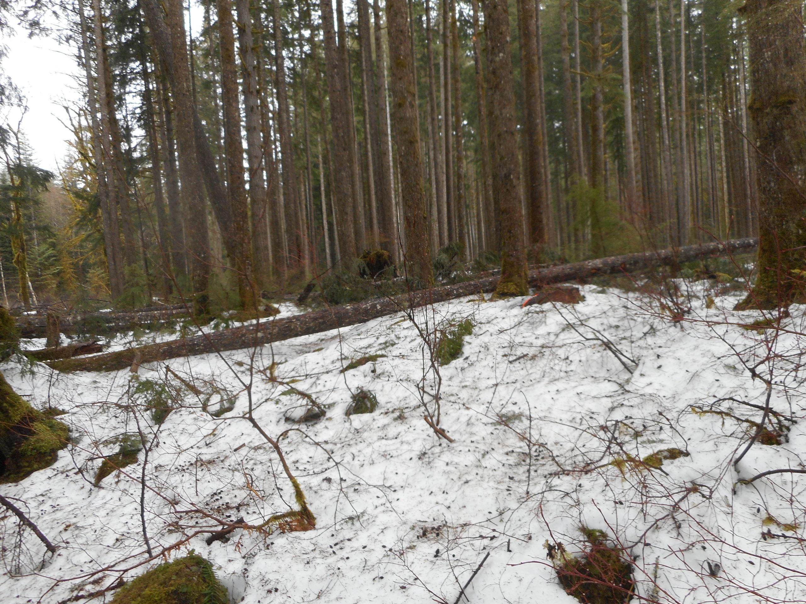
Believe it or not, the pictures above, which I took thinking I would show how bad it got, were actually some of the mildest trail disasters. The worst ones were so bad I had no thought of pulling out the camera. Particularly after the one that was so thick I had to bushwhack off the trail, uphill in deep snow, post holing, about 50 yards, just to get around the blockage. And when I headed back to where I thought the trail should be there was no trace of a trail, but plenty of enormous bear paw prints, looking fairly fresh.
So, this was not fun. But I am going back tomorrow because somewhere along the way my Garmin fell out of its holder and I would like to at least try to get it back. I hope my experience today will help me navigate a tad better tomorrow, but if not, oh well.
I got back by walking along Middle Fork Road about 3 miles. I kept seeing vehicles driving NE, towards the Middle Fork parking lot, and then driving back the other way after they realized there was no way to park. There were a few spots at Camp Brown, about .5 miles from the Middle Fork parking lot, but they were taken by the time I walked back.
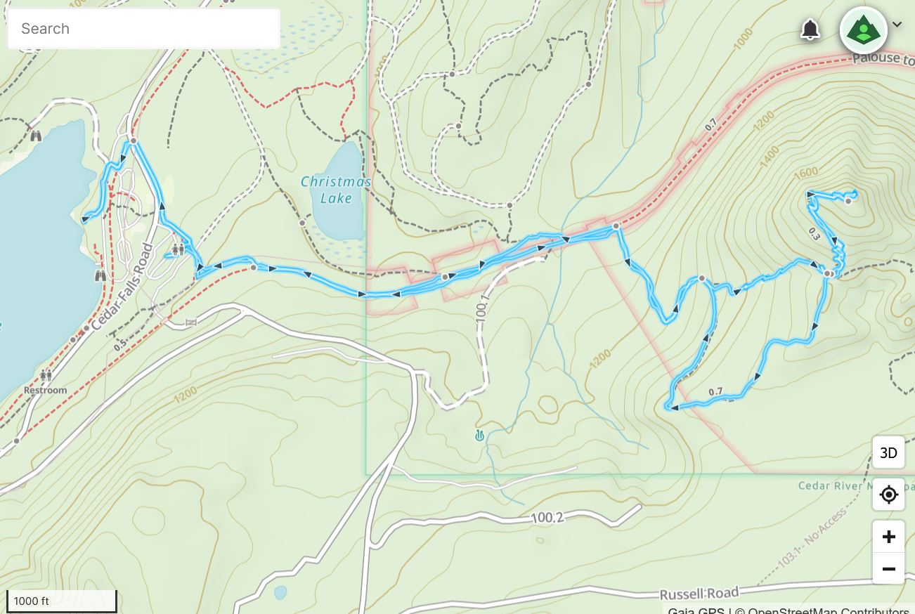
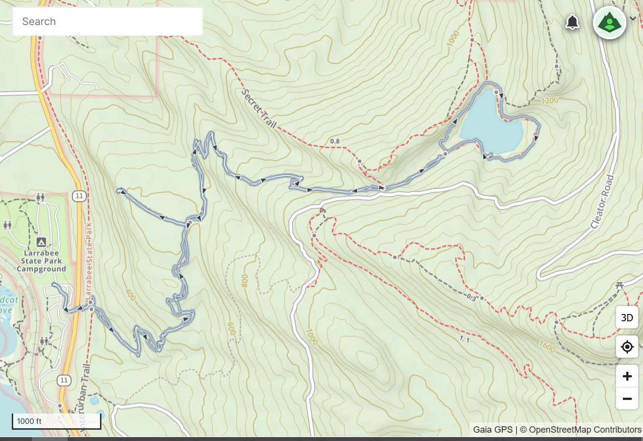
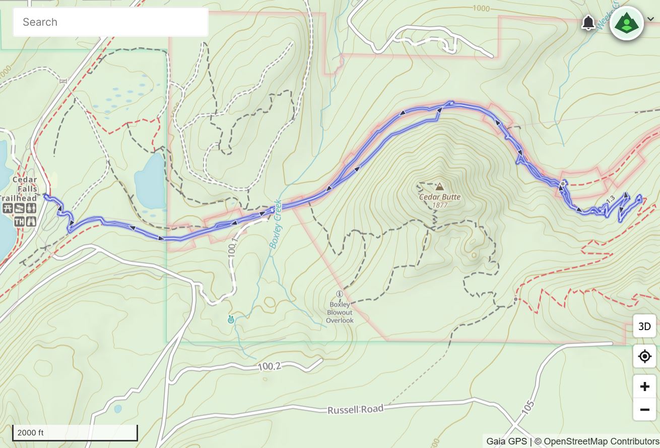
I got out today to Cedar Butte. I have done this hike a number of times but I am not sure I ever described it.
It is on the low side of moderate in terms of distance and elevation gain. Today, I extended the distance a bit by strolling over to Rattlesnake Lake (it looks like a real lake right now) and the hike was still only 4.69 miles. But I had a good workout and a very nice time.
I divide the hike to the top of Cedar Butte into four sections.
1 mile, flat, on the wide-open Palouse-to-Cascades trail.
About .35 miles to a spot where the trail splits. Both paths lead to Saddle Junction but the right path is longer and the left path is shorter, and therefore steeper.
I took the left path and that is about .35 miles up to Saddle Junction.
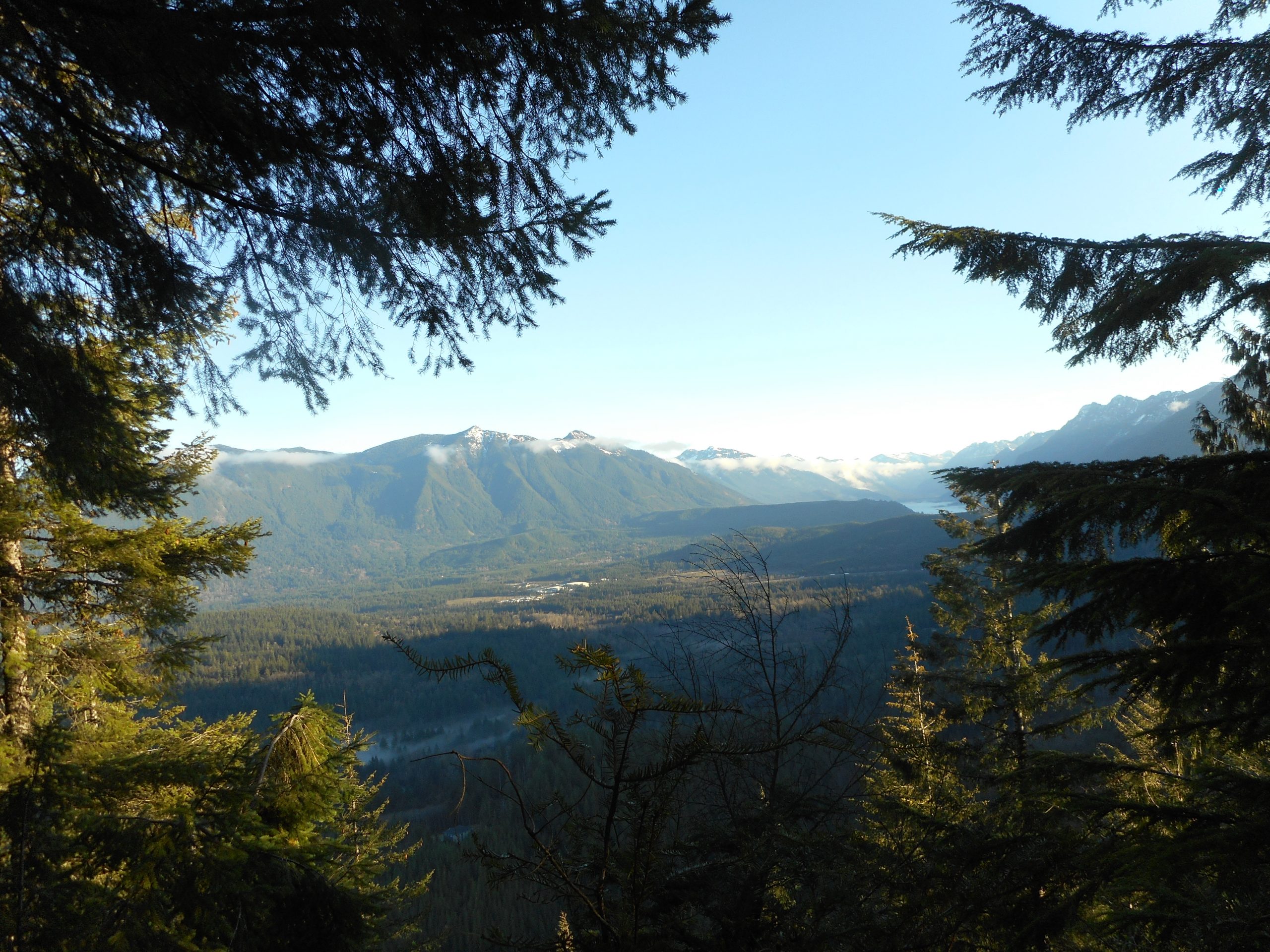
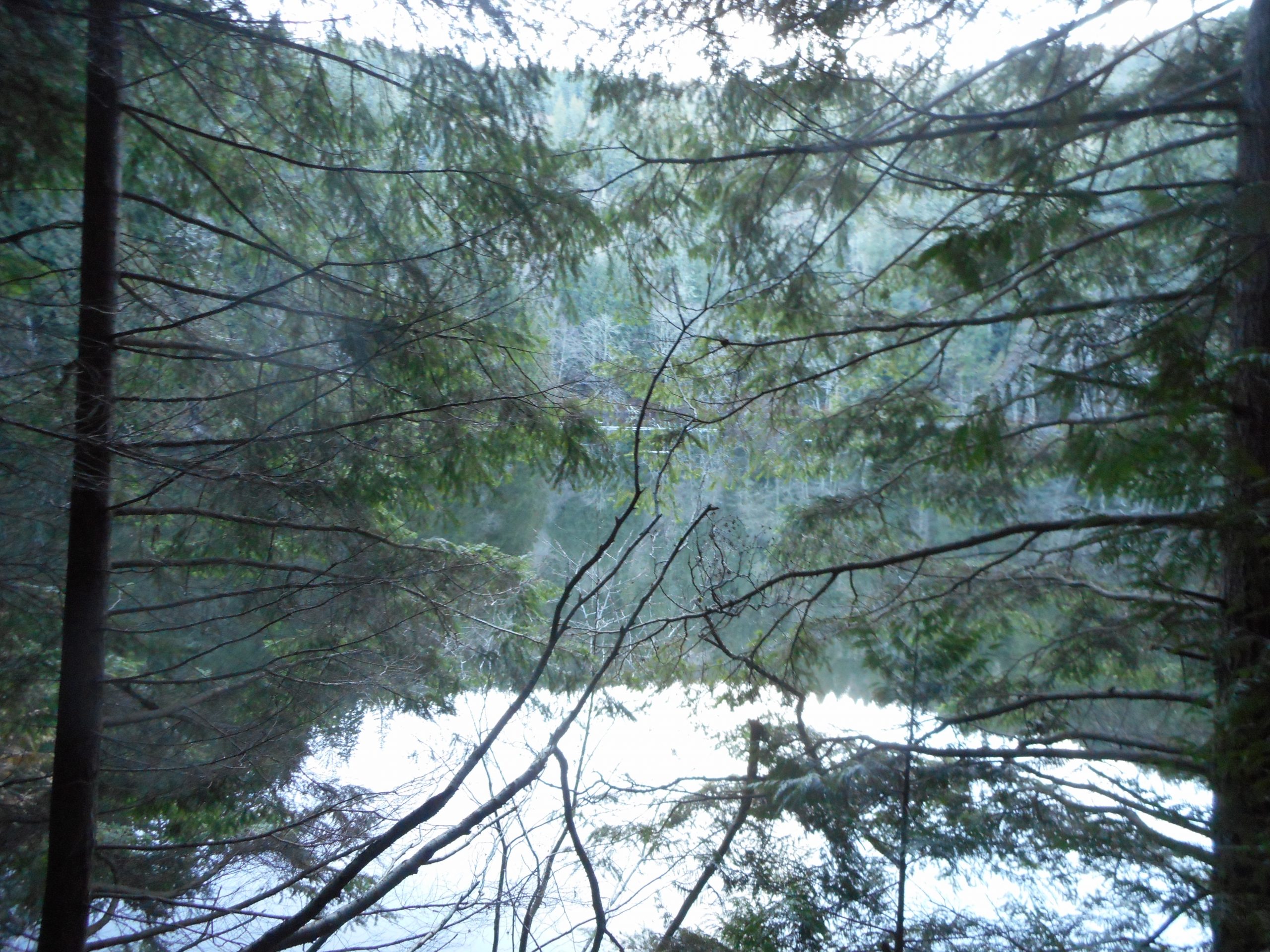
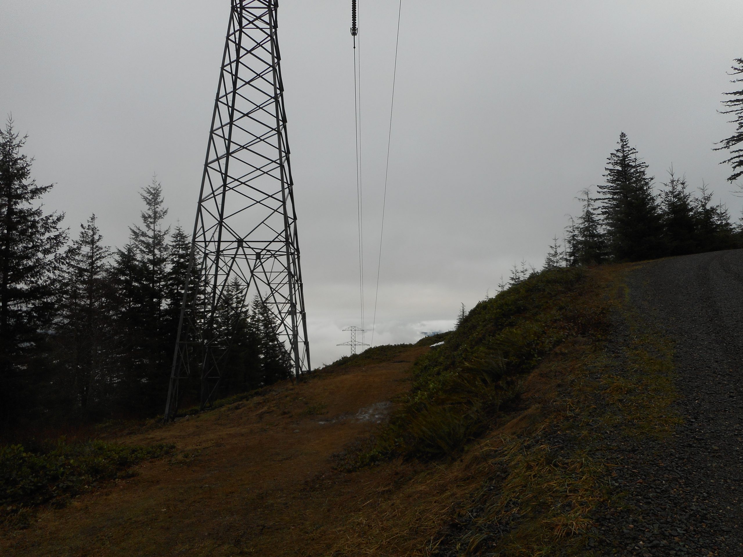
From Saddle Junction to the summit is about .4 miles and it is from the summit that I took the picture at the top.
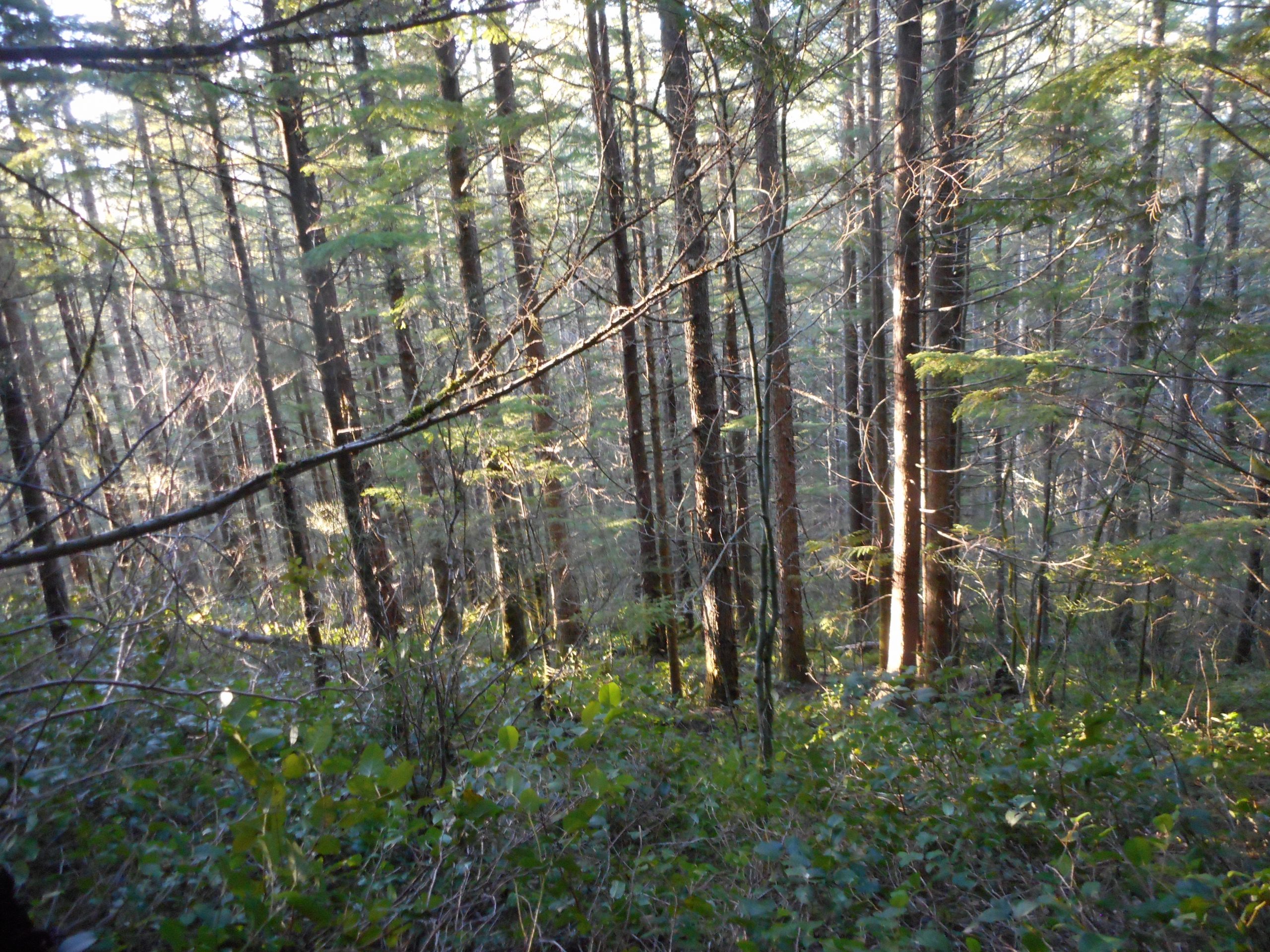
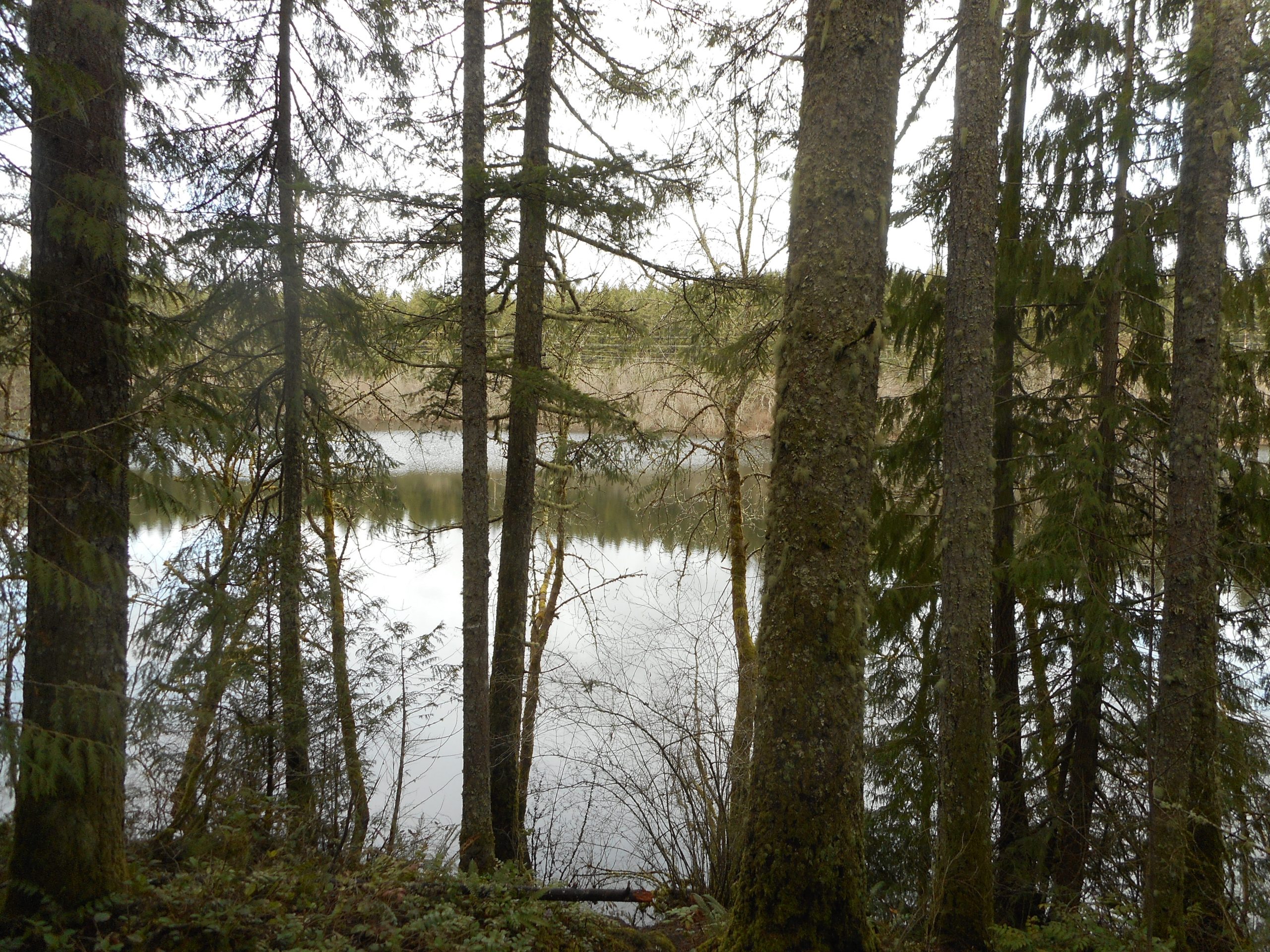
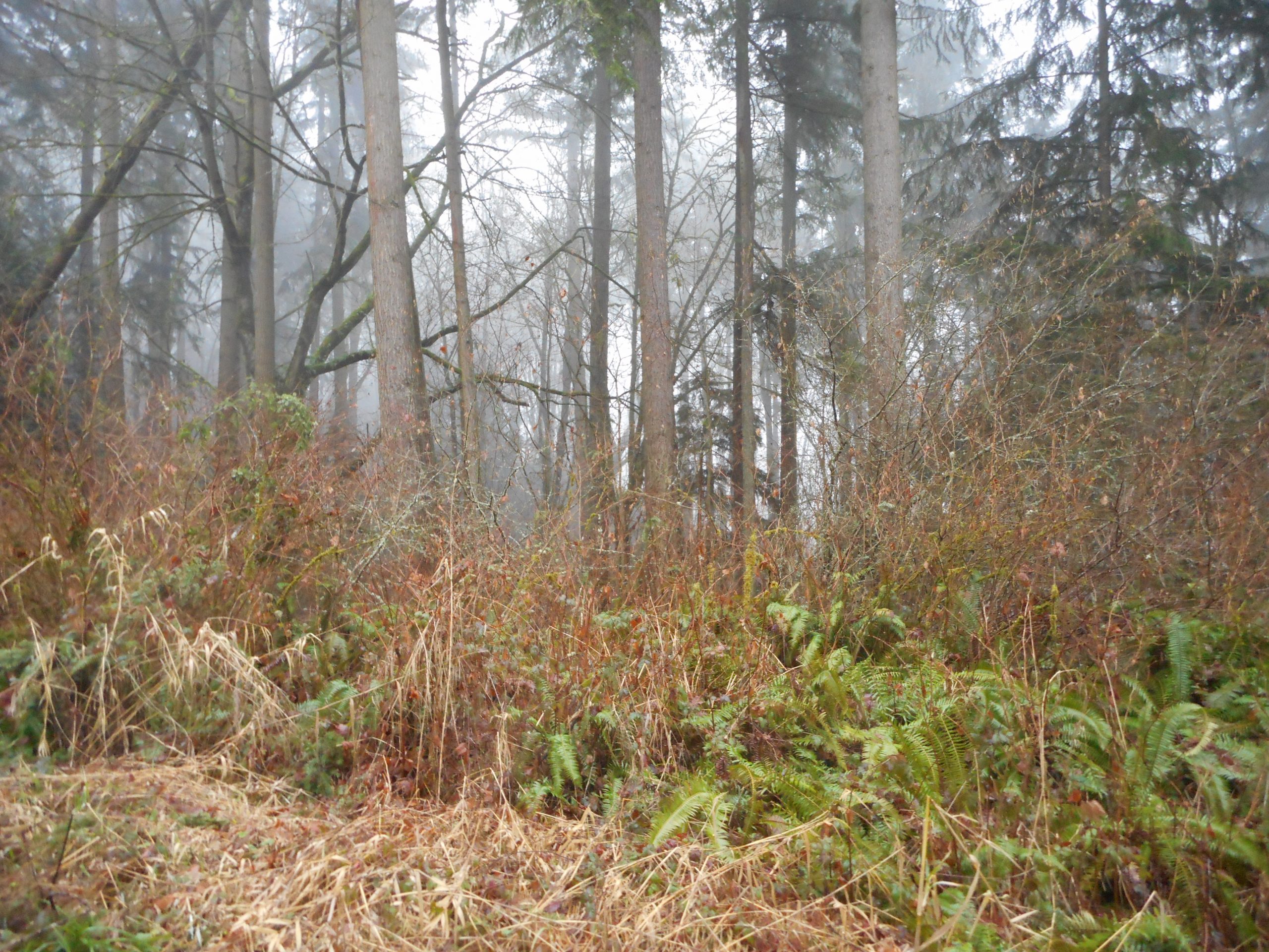
About halfway up section four I sat down and just chilled for a few moments. I was not tired or in need of a rest. I just wanted to sit in the forest and enjoy the moment. Here is what I was looking at; very peaceful and quiet:
Forest
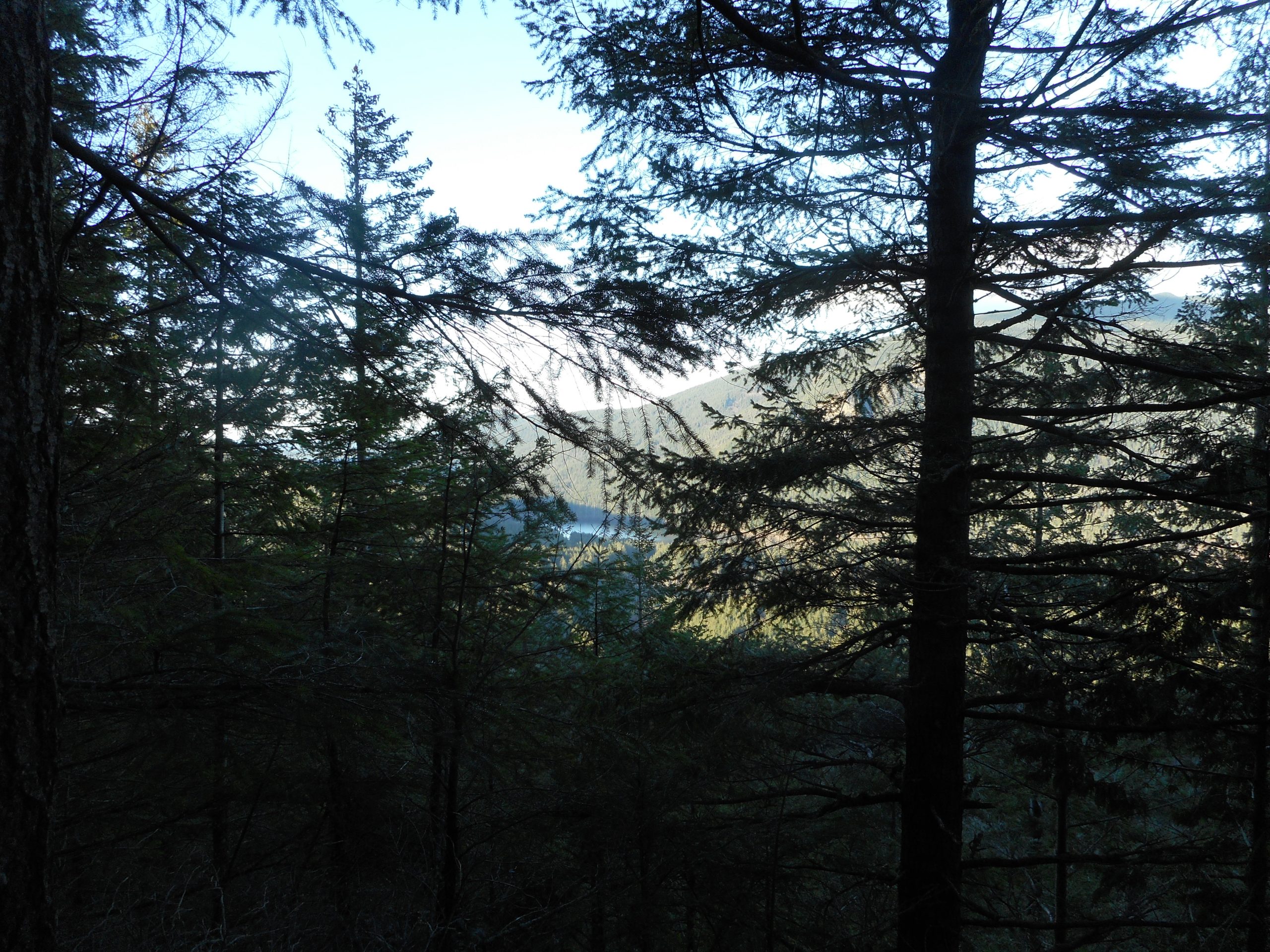
Less than a quarter mile from where I stopped to appreciate where I was is a little view point, looking back at Rattlesnake Lake:
Rattlesnake Lake
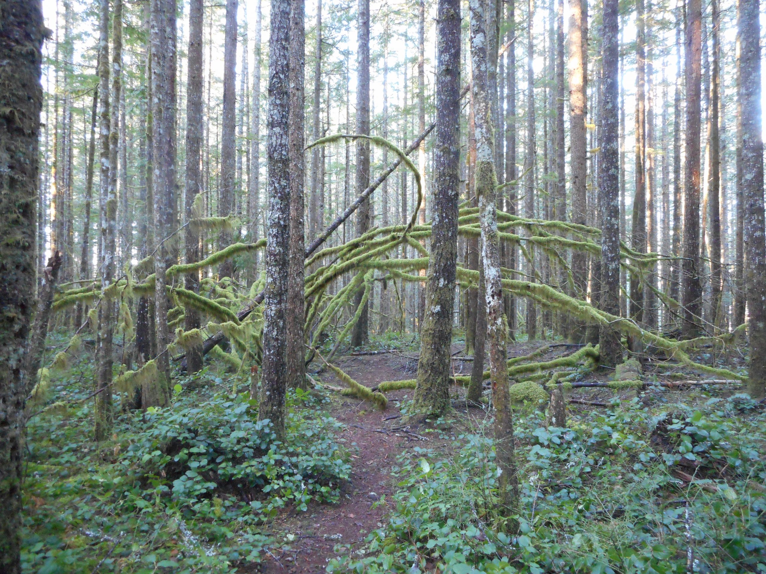
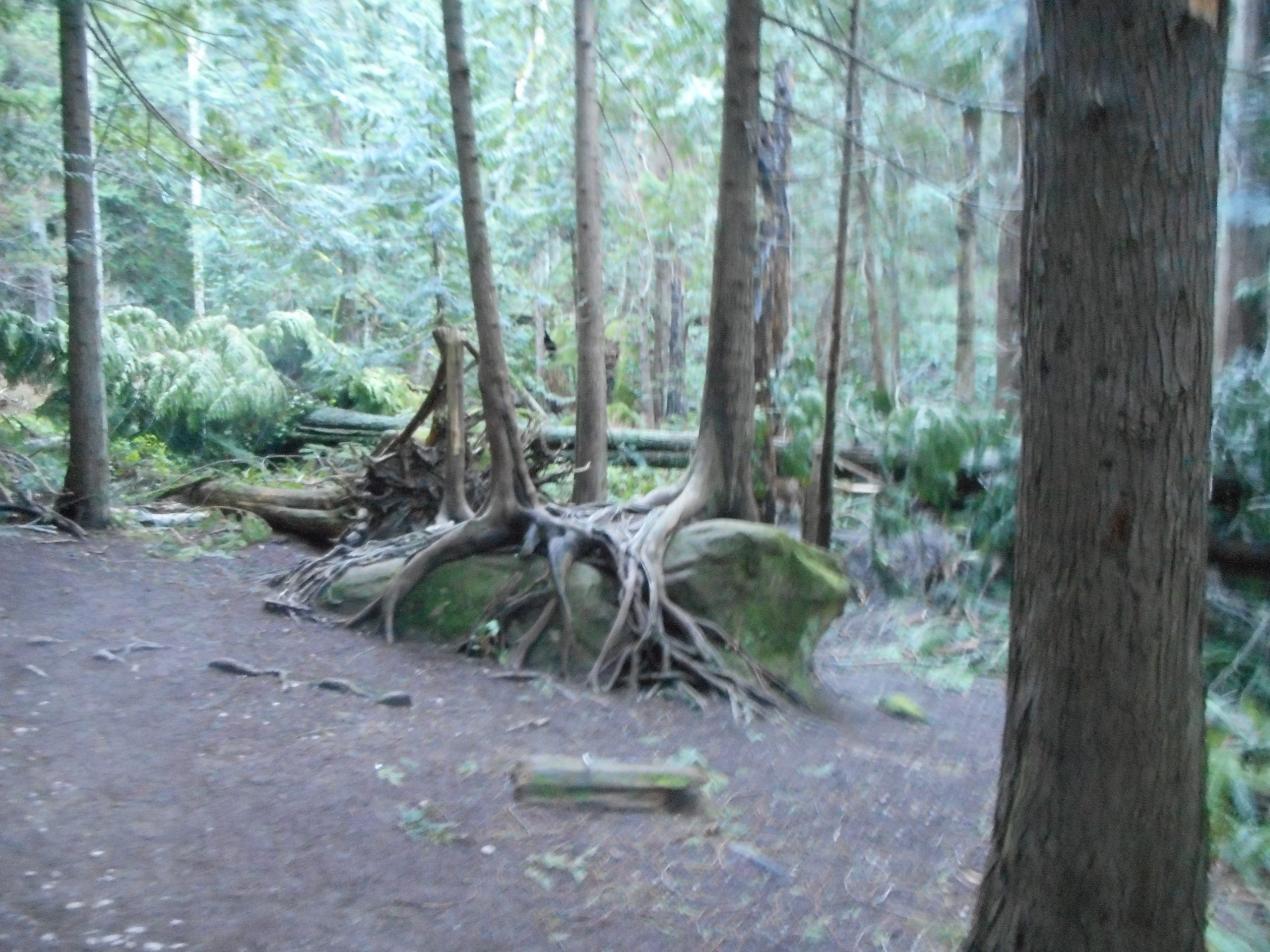
On the way down, at Saddle Junction I took the longer path because I love the forest along that part of the trail, including this mossy growth, which reminds me of something you might find as a sculpture outside a modern art museum:
I did a fun but fairly gentle hike today, starting fairly late (lots of early rain). Up the Tradition Plateau trail, to Wetlands, to Bus, to Around-the-Lake, to Swamp, then Brink, to the last dregs of Big Tree, back down via Tradition Plateau Trail. Sounds like a lot but it is really fairly mild, the only serious elevation gain is in the first .4 miles.
Still, it was a nice 5.5 miler, through the forest, lots of fun. A decent workout. I will be looking for opportunities in the coming days and weeks. My favorite hikes are tough to do right now with so much snow, and possible avalanches. But Squak and Tiger are always around and there are no avalanches there.
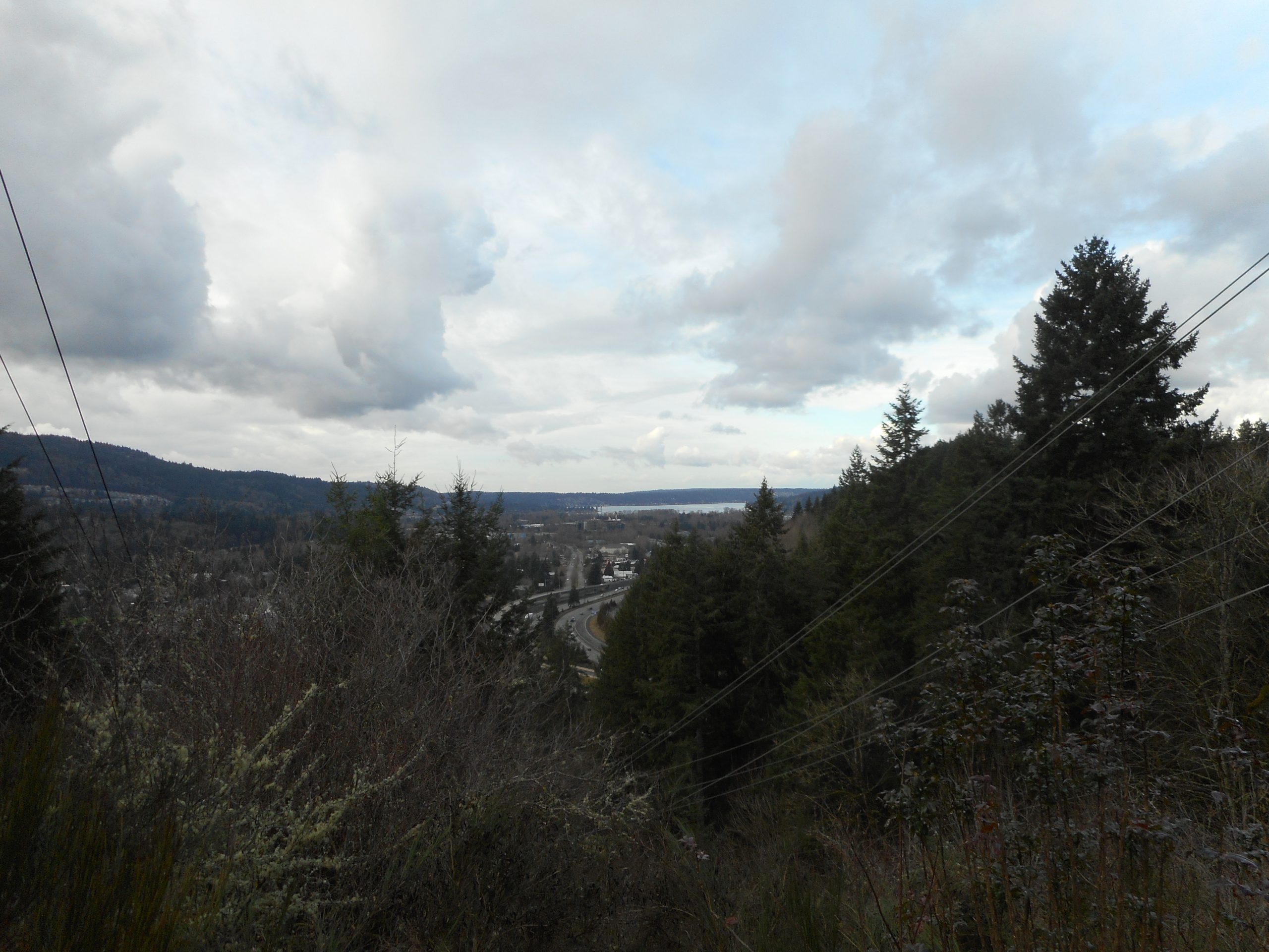
The view at the top of the Tradition Plateau connector trail is over Issaquah, and you can see Lake Sammamish on the top, the silver slice:
I first did Fragrance Lake back in October. This is a nice, moderate hike through nice 2nd-growth forest.
Rock with Trees
There is a trail that goes around the lake but in October a portion was closed for pending construction. Today, I was able to go around the lake as the little bridge project had been completed. Cheers for the mighty mighty trail angels!
Fragrance Lake
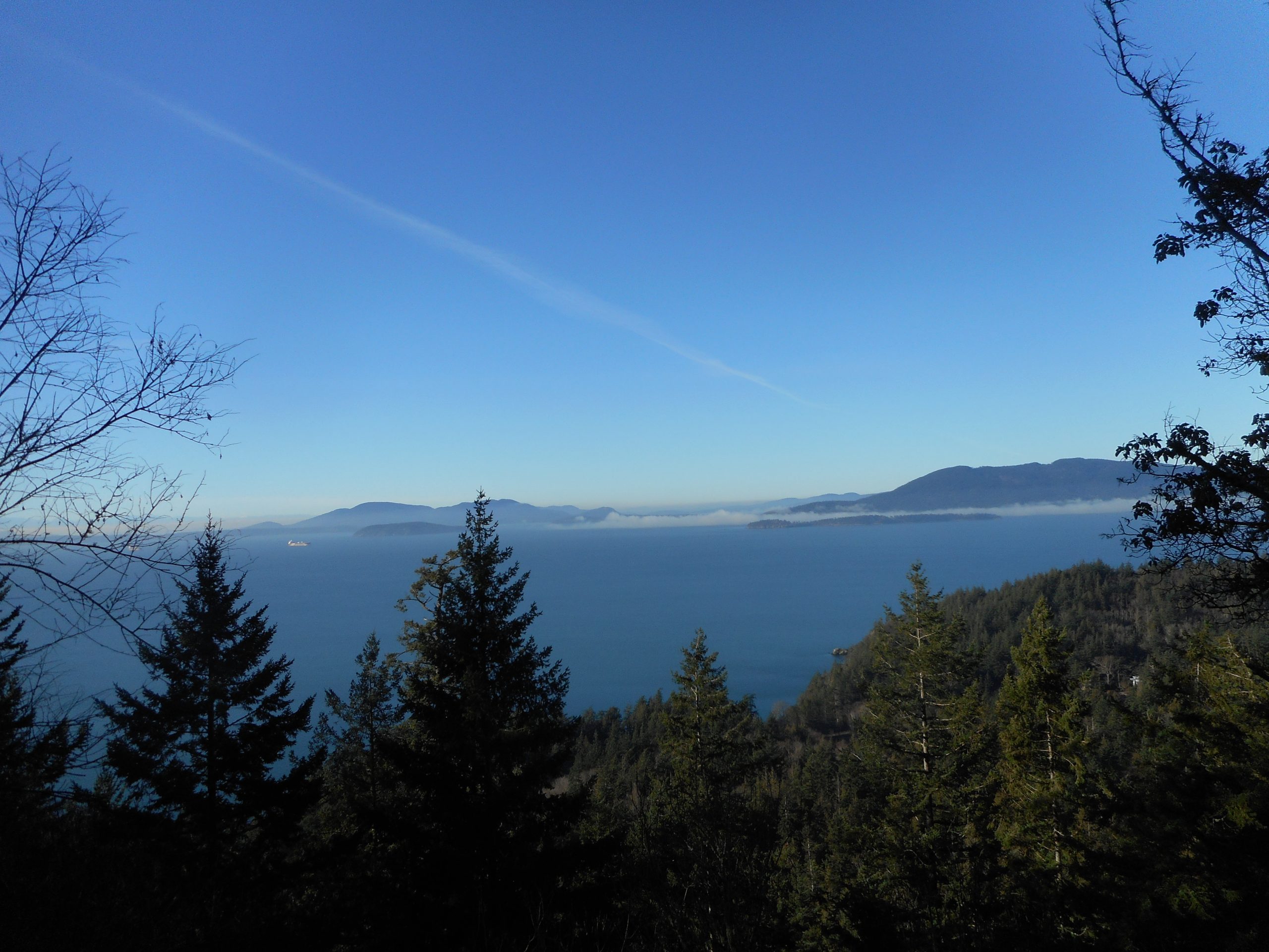
On the way back, as I did last time, I took the little side trip to the view point over Bellingham Bay. Spectacular. I brought my good binoculars and I trained them on a huge boat in the bay. Through the binocs I saw ‘EuroNav’ on the side. Quick web search reveals this is a huge shipping company, the largest on the NYSE.
But looking pretty tiny without the binocs.
This is a long drive for me but I double the pleasure by heading north just a few more miles to visit the Bellingham neighborhood of Fairhaven. So, as an old retired guy, what do I have to do that is more fun or more productive than a hike and a Fairhaven visit?
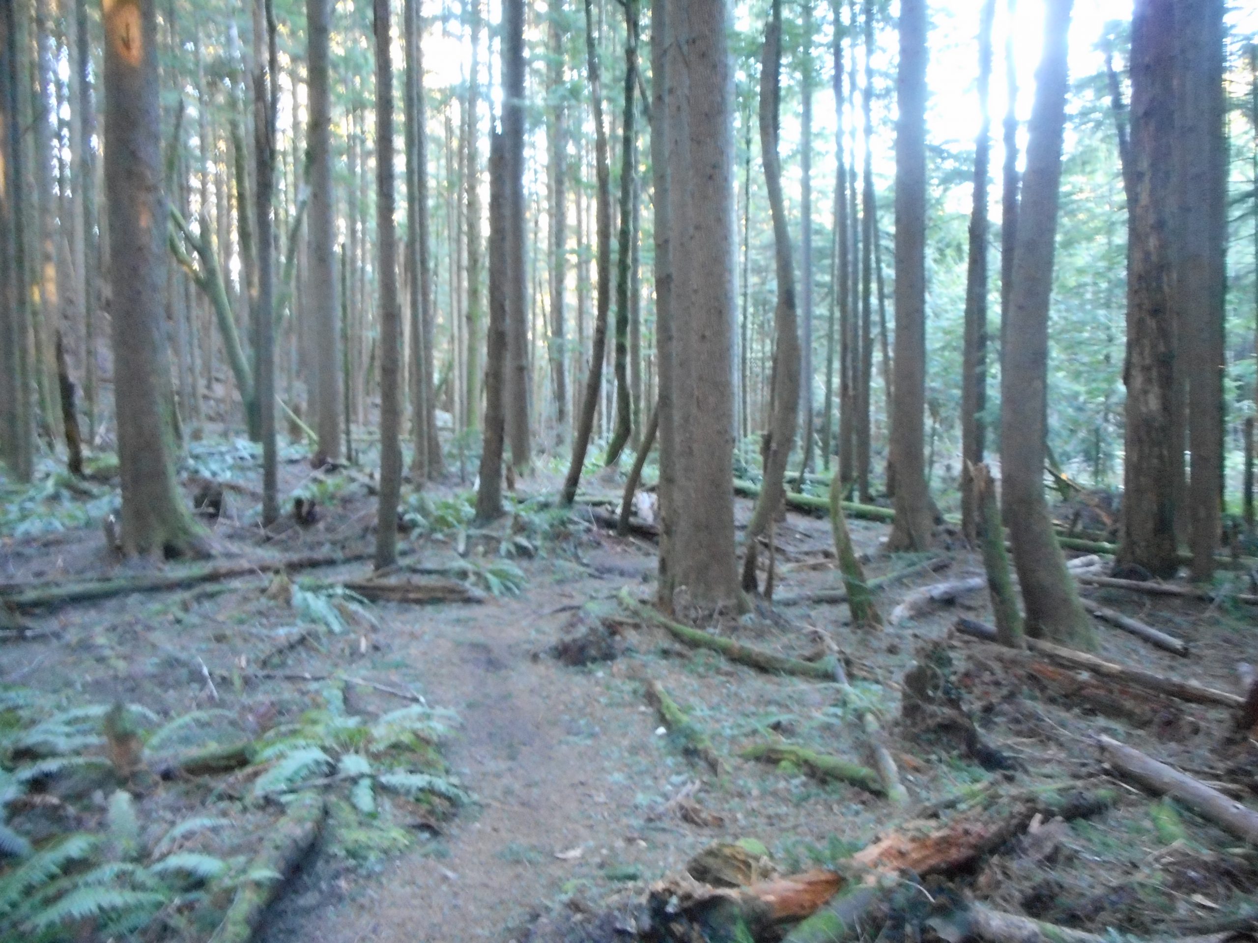
This hike is a good workout but it is not very photogenic. Still, having started before dawn using my trusty headlamp I was able to watch the forest slowly come into view as the sun rose.
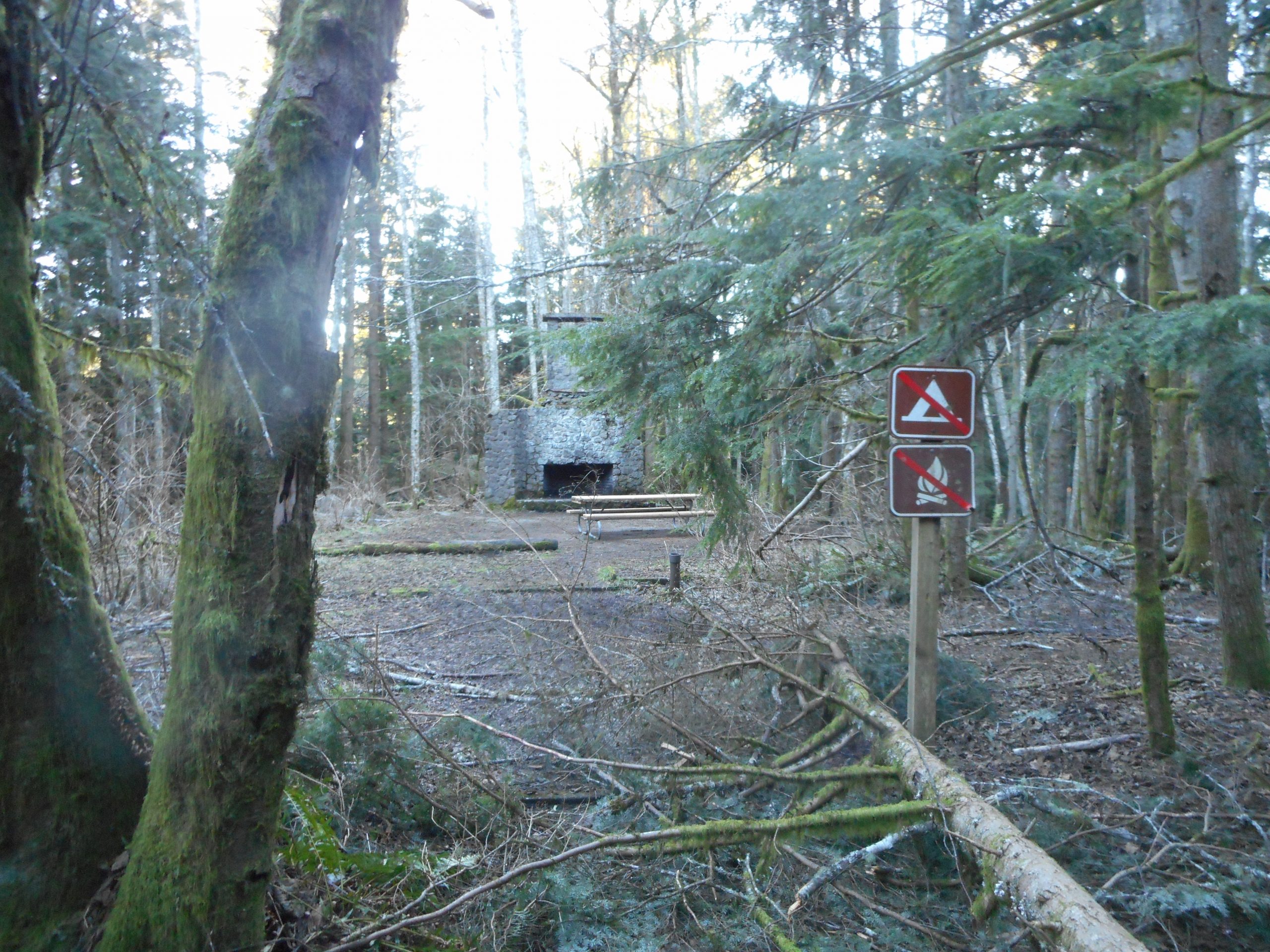
About .5 mile before Central Peak I passed the always nostalgic Bullitt Fireplace:
Bullitt Fireplace
William Bullitt was a local rich guy. Many years ago he owned much of Squak Mountain and had a cabin there. I heard his wife did not like the area so he ditched it and, at some point (perhaps in his will) he donated his land for a protected hiking area.
So there you go.
I may get out on Wednesday on the other side of Squak for a bit tougher hike.
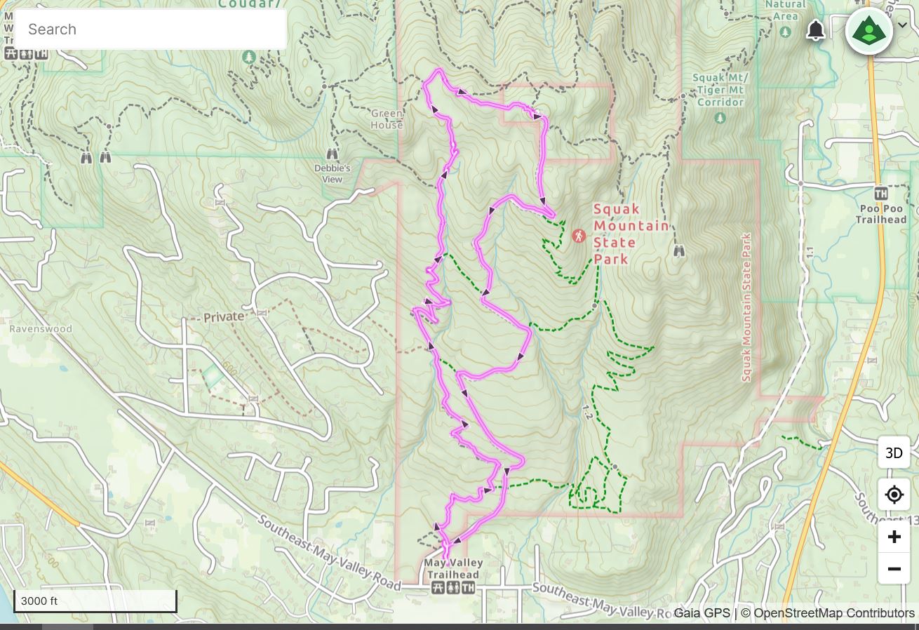
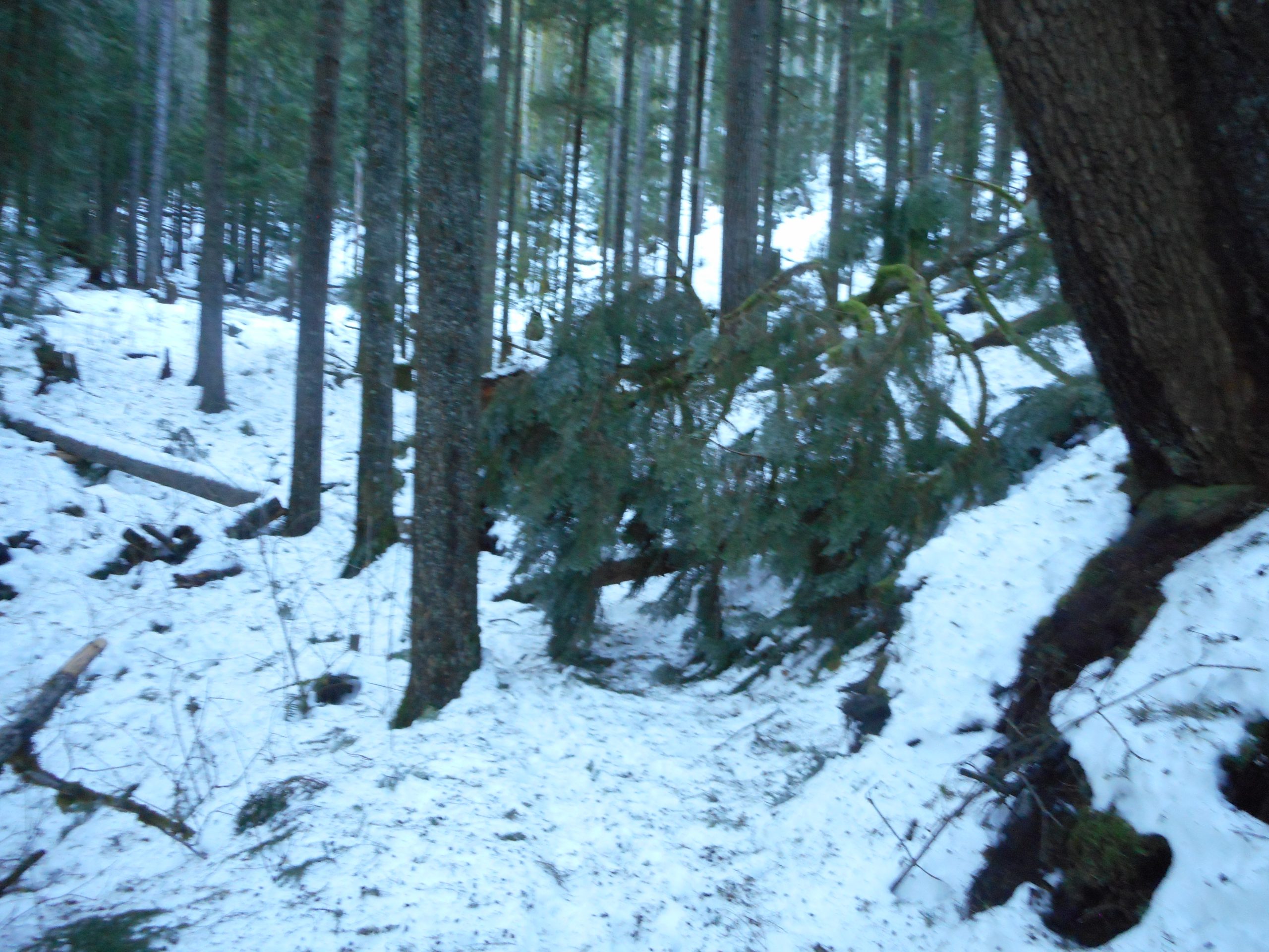
I got out today. I did a snowshoe trek going east on the PTC and then up the Olallie Trail until my legs started complaining. Round-trip it was about 5 miles.
5 miles isn’t all that far, unless you are in the deep snow and pushing upwards. Plus, the Olallie Trial, which was created by mountain bikers for mountain bikers and hikers, is clogged with large blowdowns right now:
Blowdown
I hope the bikers have big saws, because when the snow melts and the bikers return, it is going to be tough to navigate with a bike.
The parking lots are nasty, lots of deep snow. The mountain passes are all closed right now, due to avalanche danger, and the store shelves are getting bare with no trucks getting through. I-90 is closed from Exit 34 to the pass (Exits 52 and 53) and that means every person looking for mountain recreation, like hiking, snowshoeing and cross-country skiing was forced to squeeze into the area west of Exit 34.
And so, when I got back to the car, I was faced with a nasty traffic situation. The road in to the trail head is a narrow 2-lane strip. People were stopped in the lane going towards the lot, I presume waiting to see if a parking spot opened. But people were trying to pass the stopped cars, and that left no room for anyone (like me) going the other way.
I swear, otherwise intelligent people make the dumbest decisions when it comes to parking near trail heads. They don’t want to admit they let their lazy asses stay in bed too long and they got there too late. The smart choice would be to turn around. But no, they push on, clogging the roads and endangering all the people who parked far, far away and are using the road as a hiking trail.