Great solo hike today. I went up the Mt. Washington main trail to the summit and descended via the Great Wall.
Aside from the fact that this is one of my favorite hikes, I wanted to get up there to check out the conditions. Derek and his brother Ryan and I are scheduled to do an overnight hike 6/15-6/16 and we are planning to hit six peaks:
Mt. Wa trail to Great Wall; to Change Peak; back to Great Wall to Mt. Wa; down and back to the service road to Songbird Peak, where we will throw up the tents.
In the AM we want to hit Greenway, Chester Peak and (a stretch goal) McClellan Butte from the west.
But I hadn’t been up to Mt. Wa and the Great Wall for awhile. Based on trip reports I figured it was snow-free but I wanted to check that out and also check the connection between the Great Wall and the Great Wall Connector trail – when last I was up there I had left flagging tape to mark where you bushwhack to the connector trail.
But today I noticed someone has created a “real” trail, marked well with tape and a cairn, and no need to balance on blown down trees.
Anyway, the route is totally snow-free and I don’t see how any topo condition should stop us. We are just not sure about the shape of the trail when it gets near and then goes past (east) Chester Peak.
Based on Google Earth images and what we have seen from a distance it looks like you can take a service road to just south of the Chester summit and scramble to the top. But I guess we will figure that out when we encounter it.
A lonely hike today. I did not see a single person, up or down, the entire way, until I was back in the parking lot. Never have I met zero people on a Mt. Washington hike. One for the ages.
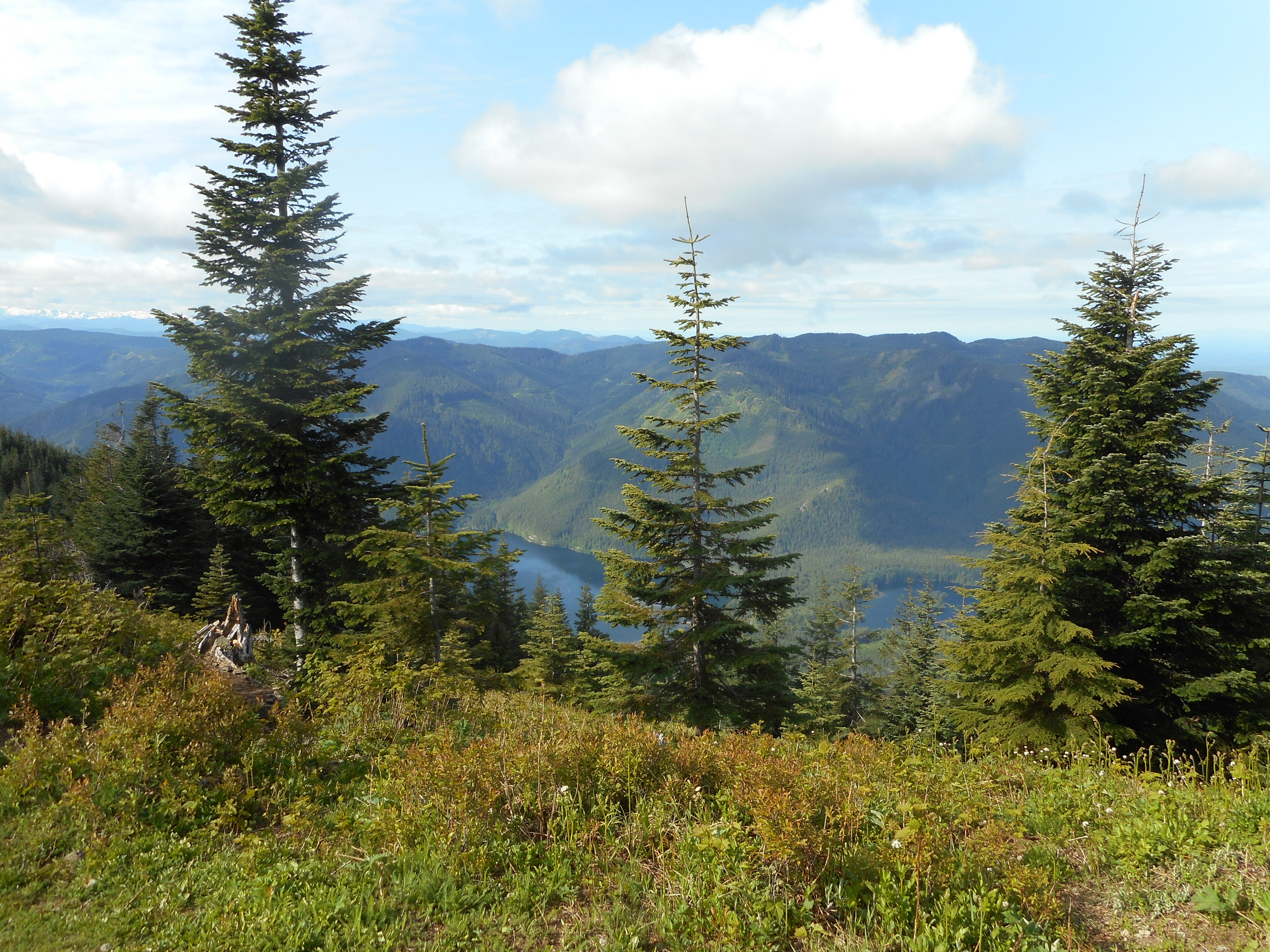
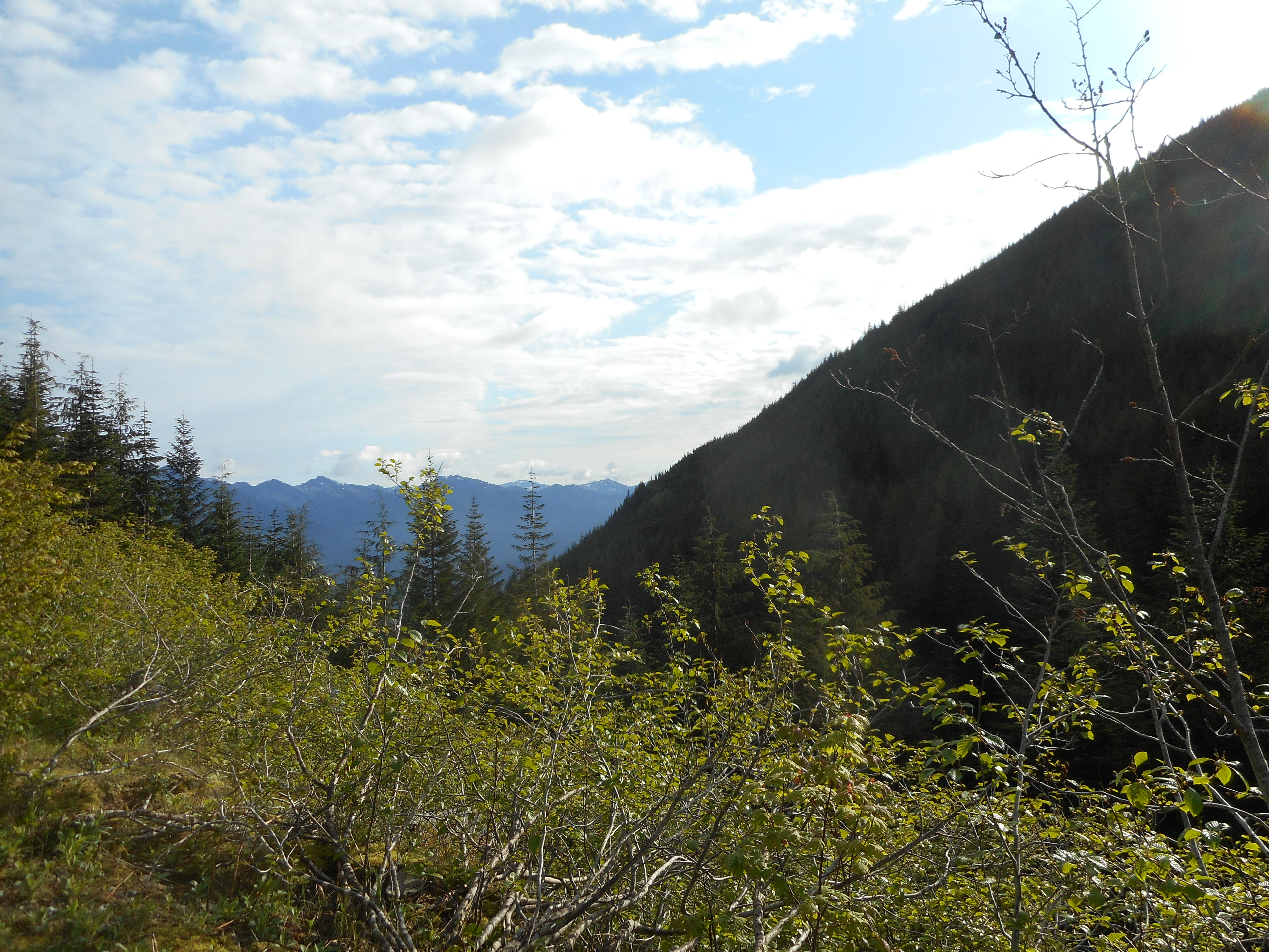
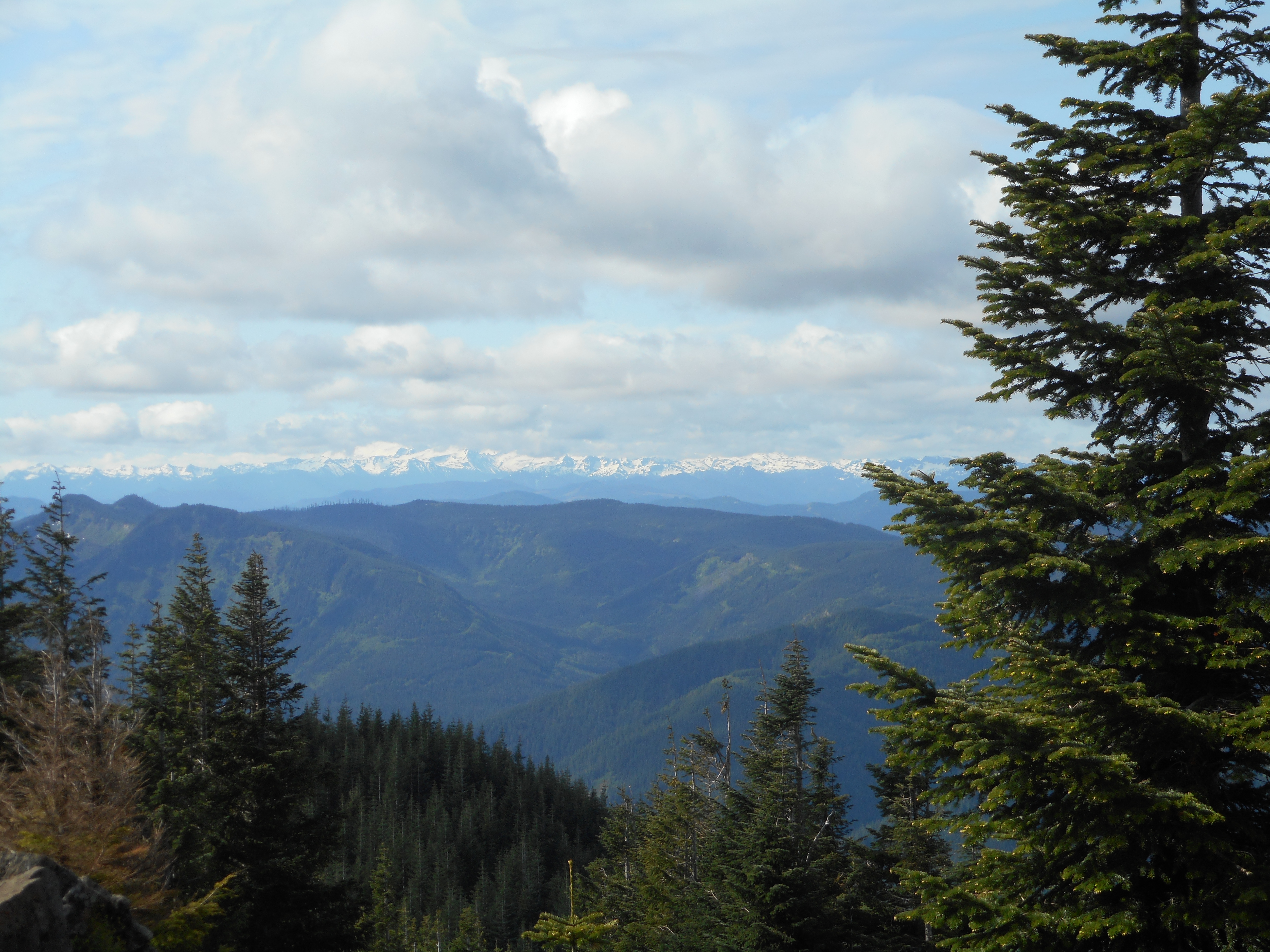
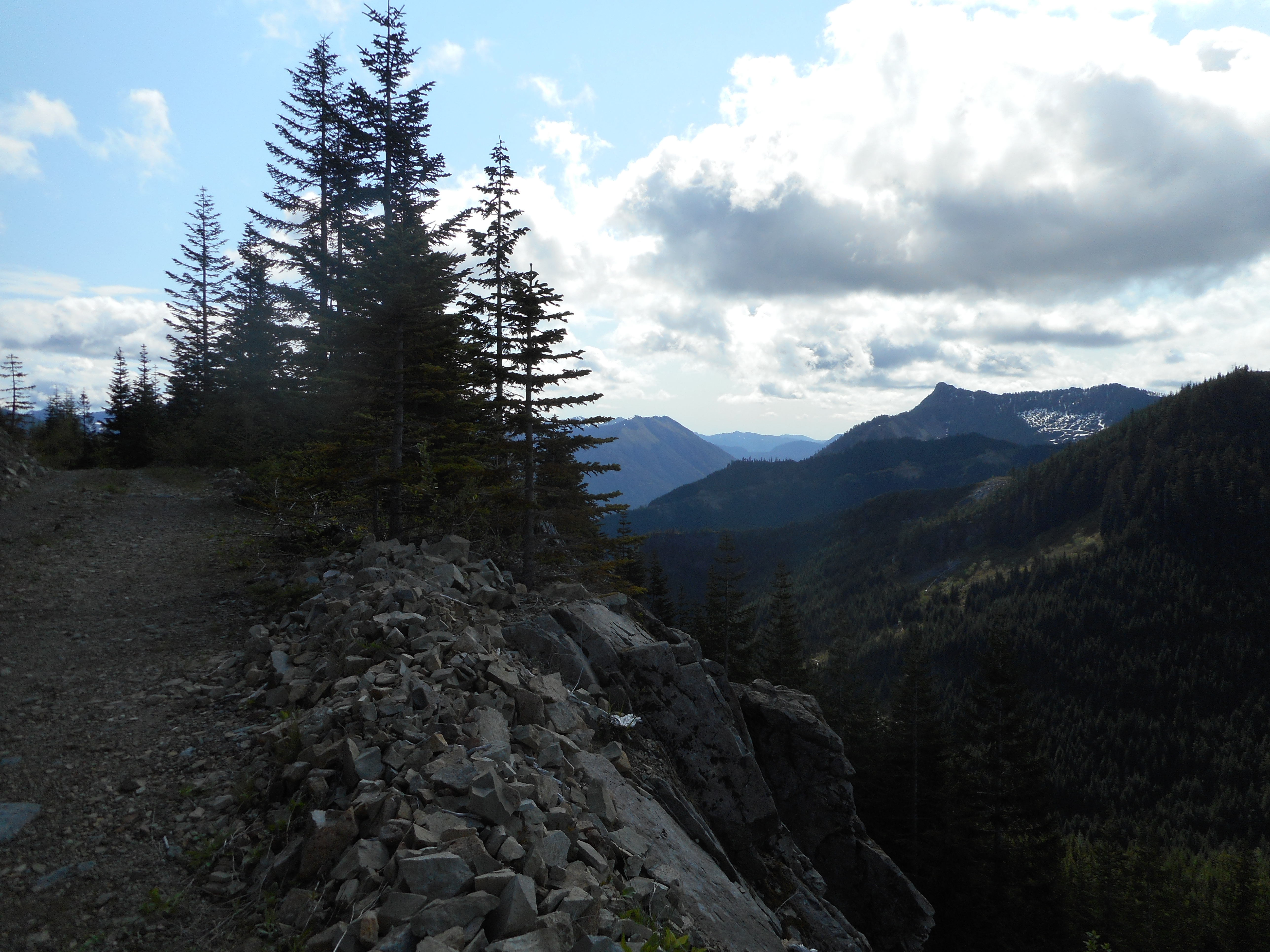
As usual, the views are so much fun and inspirational:
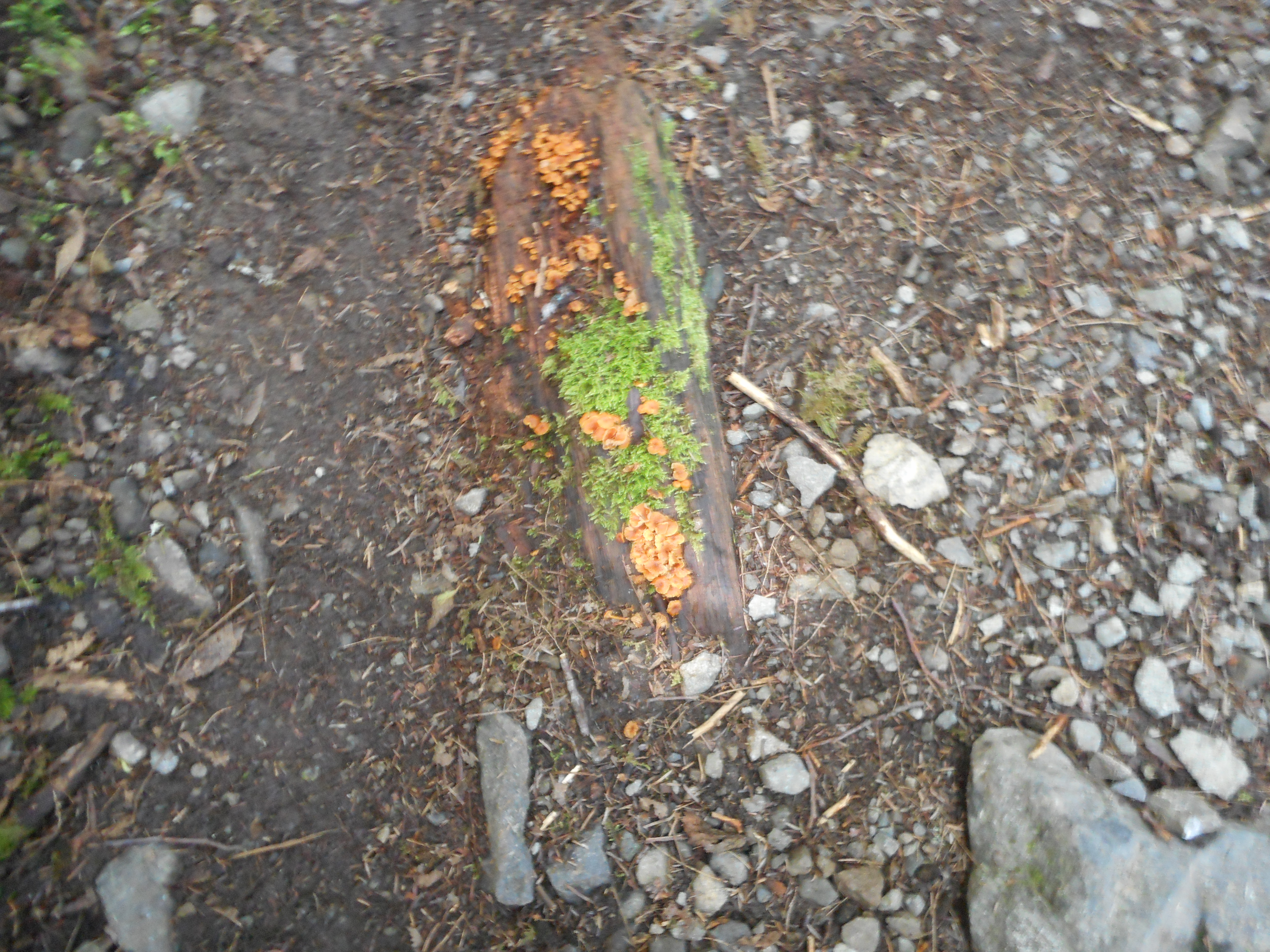
Interesting Halloween-like plant:
Garmin discontinued the service where you could upload a GPX track and get a permanent link to a display and the stats. So I had to manually extract today’s track and bring it into other utilities.
3,300 feet of elevation gain over 9.8 miles. Nice!
A Google Earth image of the track. Today’s track is the blue line.