Carl and I hiked up to Mt. Washington today via the Change Creek Trail.
Carl and Ken and I did Change Creek to J’s Landing a few weeks ago and Carl liked the trail and, having seen the “Mt. WA 6 miles” sign near the start of the trail, he wanted to give it a try. Today, we did.
Our mileage is just under 12 because we halted a bit short of the summit. It wasn’t weather or trail conditions or being worn out. We could see that the summit was a madhouse with dozens of people hanging out and we wanted to sit down and eat our Cliff Bars in peace.
So by common consent we backed down the short and very steep connector trail that runs from the service road that bisects the Great Wall, found a peaceful spot and took a well-earned short break.
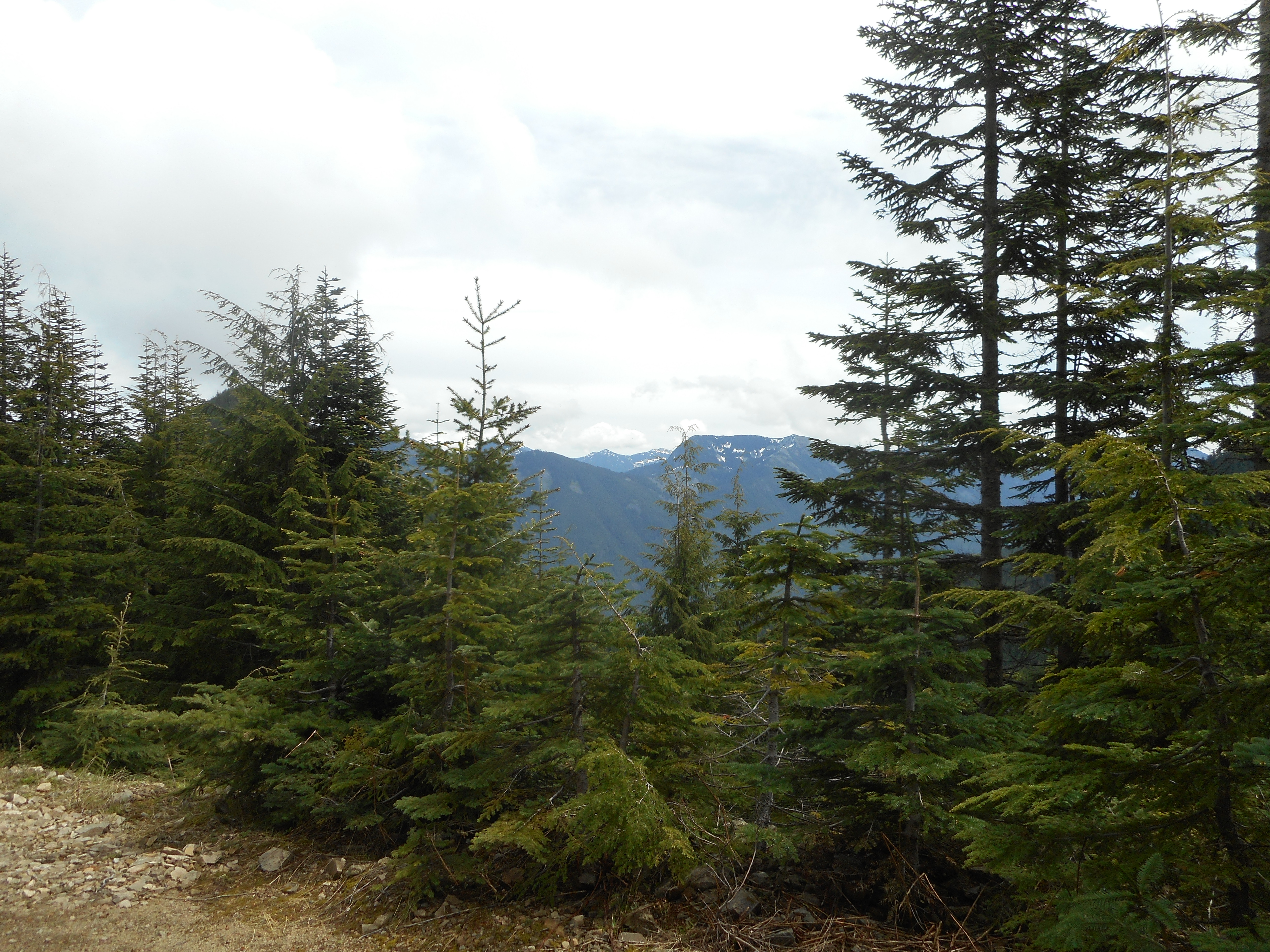
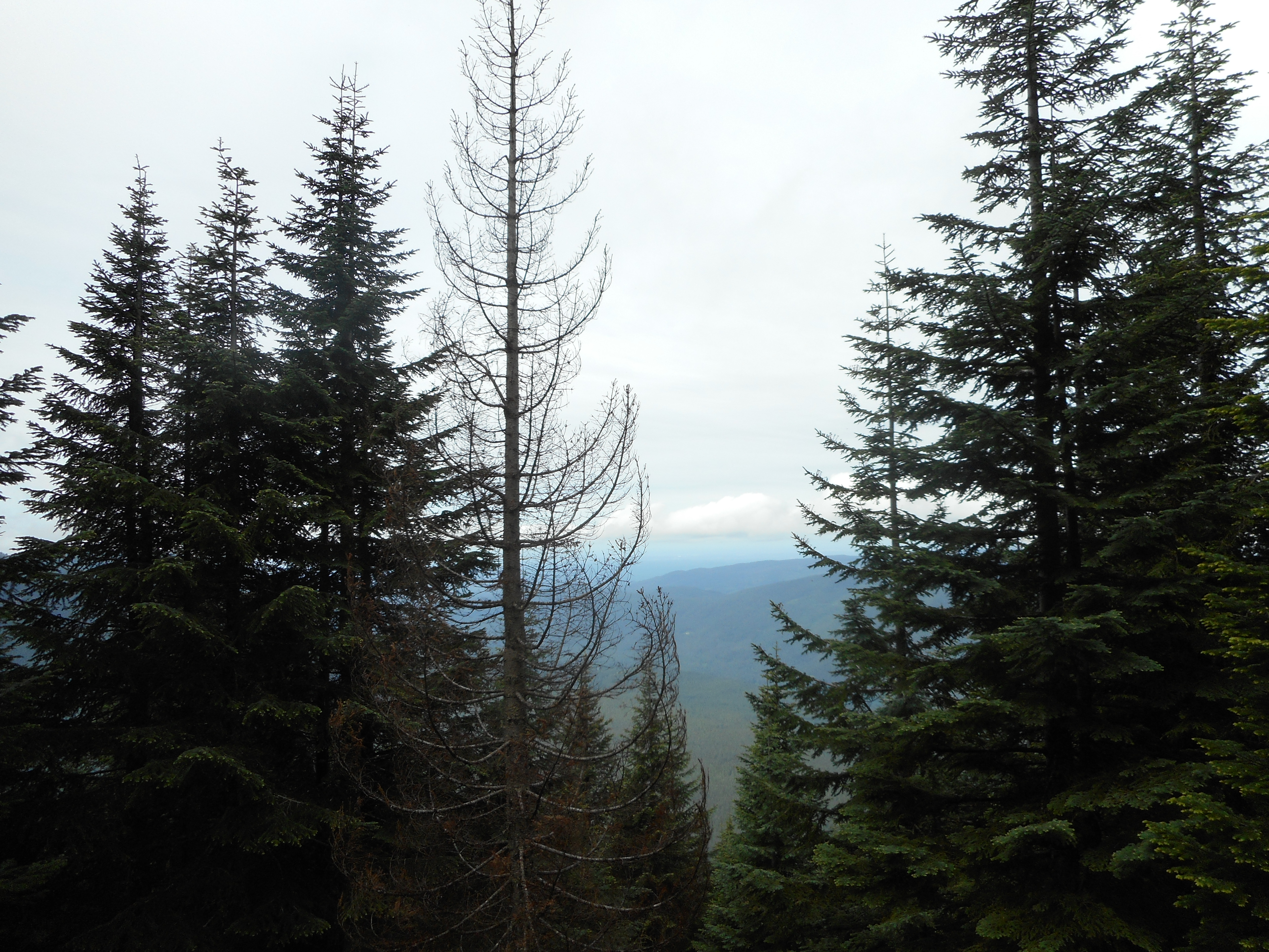
As always, the Change Creek Trail is steep and uncrowded (we saw 3 people today along that trail, and on a beautiful summer Saturday when Mt. WA trail was packed) and the Great Wall affords gorgeous eastern views.
We also like the woods along the edge of the Watershed:
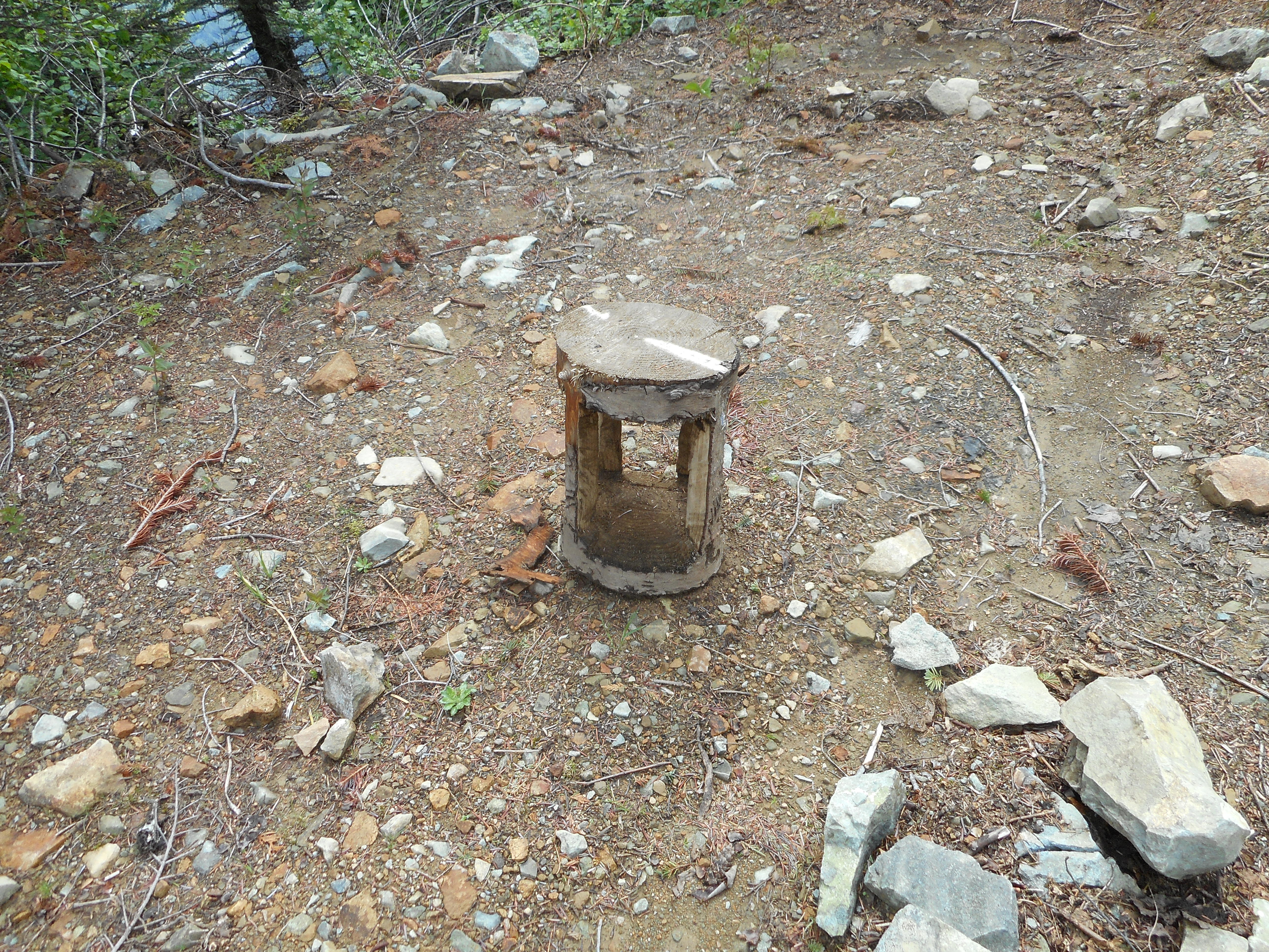
Along the Great Wall we saw an unusual carving. Anyone know what it is?
6 hours, 11.5 miles, almost 3,400 feet of elevation gain, a wonderful hike today with Carl, who enjoyed his first hike up Change Creek all the way to Mt. Washington.
Our track:
https://adventures.garmin.com/en-US/by/djhiker/change-creek-to-mt-wa-6-17-2017#.WUXq8dyQypo