Carl and I did a really nice hike today – 10.5 miles (which includes a half mile where, about 1/4 mile up the trail, I remembered that I had not put my Discover Pass up and we had to backtrack – $99 fine without it). The track is below but verbally we:
- Parked at the new Teneriffe parking lot.
- Took the .5 mile connector trail to the Teneriffe Trail.
- Went up (and I do mean up) the Teneriffe Trail 4.5 miles to the upper Mt. Si connector trail.
- Took that trail .8 mile to the Haystack, which is at the summit of Mount Si.
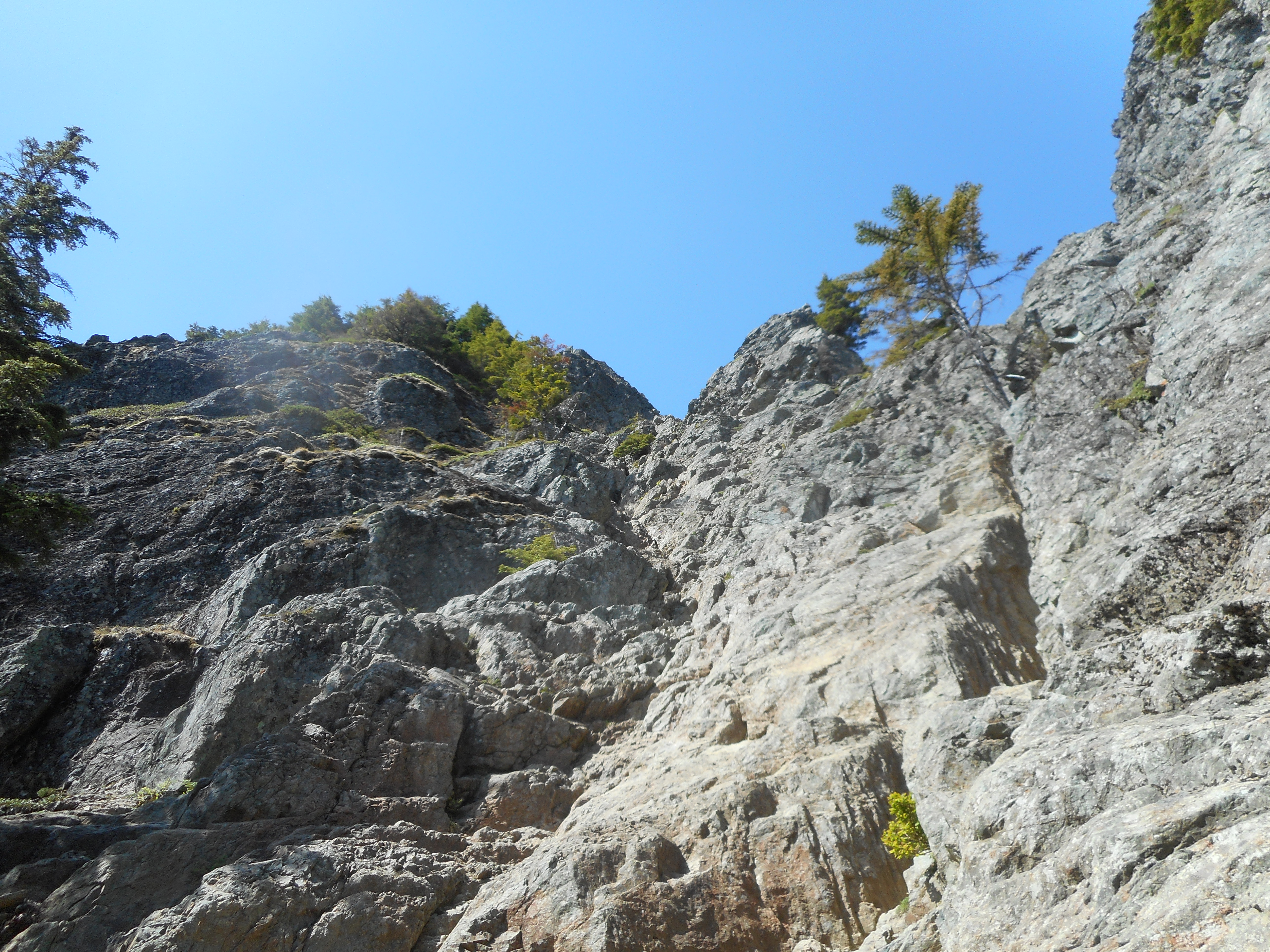
- Hiked across the boulders at the base of the summit to the Mt. Si trail.
- Went down the Mt. Si trail to the Talus Rock Loop Trail.
- Took the exit along the loop trail back to Teneriffe.
- And then back down to the car.
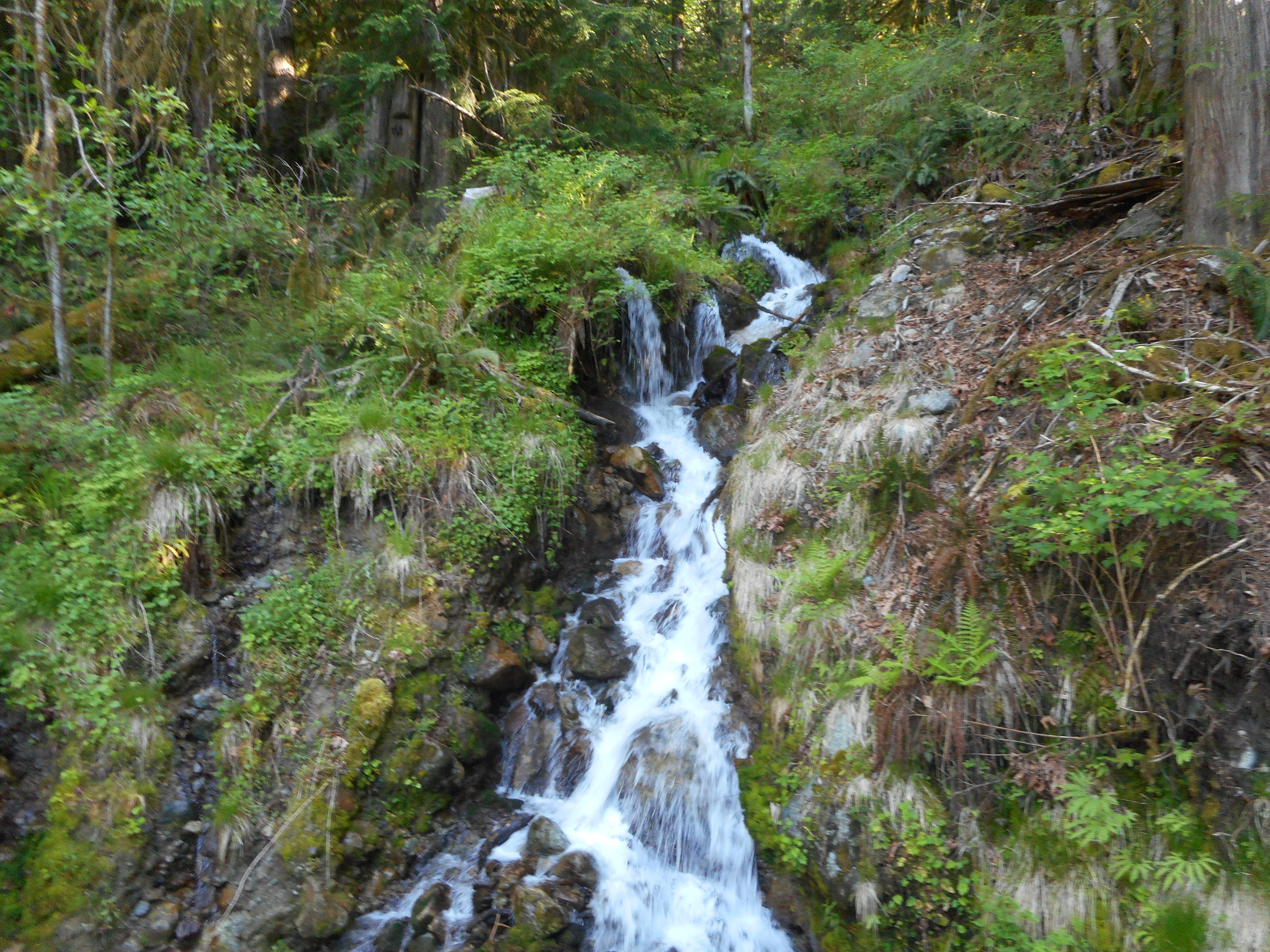
Plenty of beautiful nature to enjoy along the way.
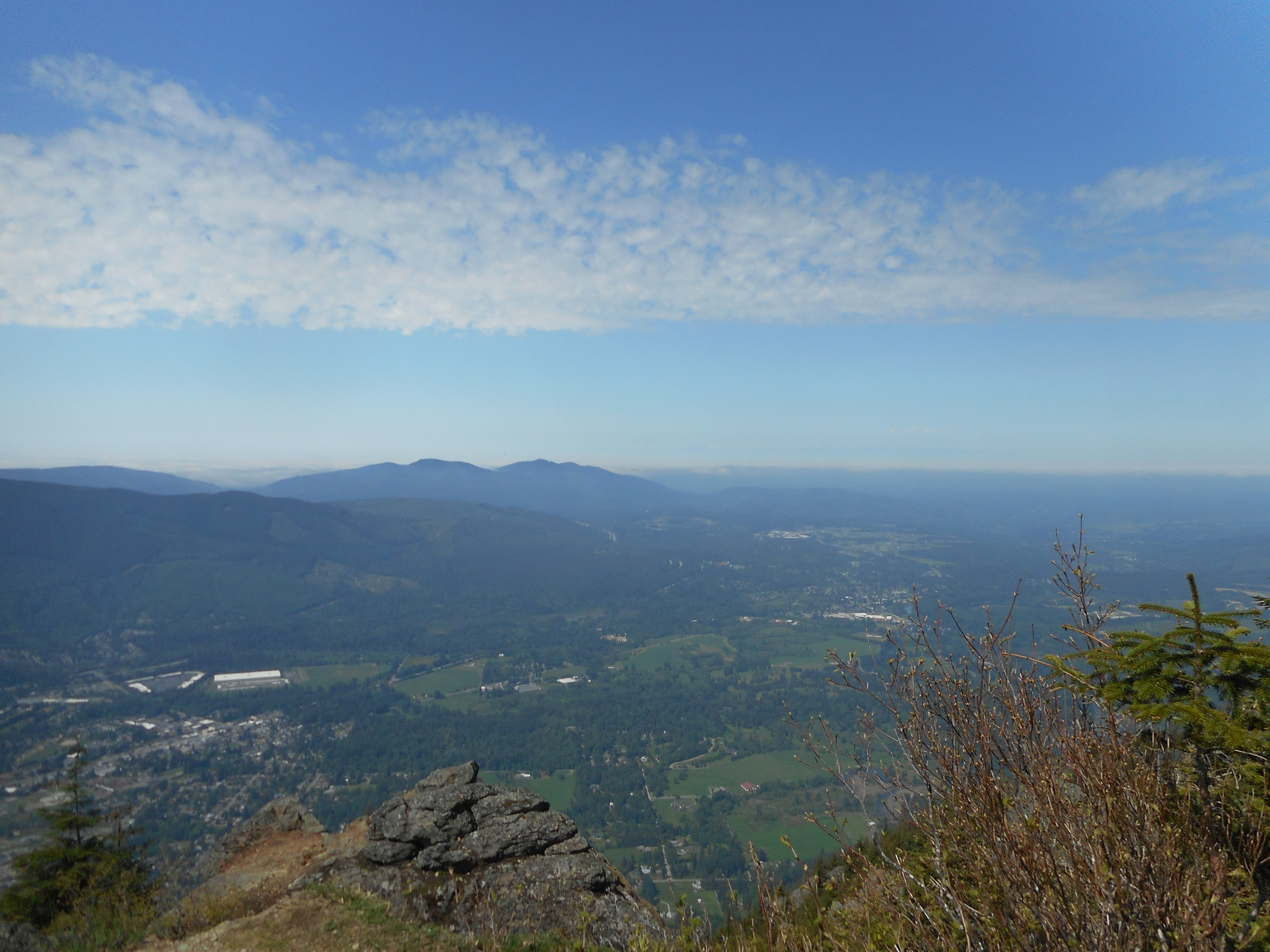
An awesome view south at about 3.4 miles:

Rattlesnake Lake is that tiny sliver of blue about in the middle of the picture.
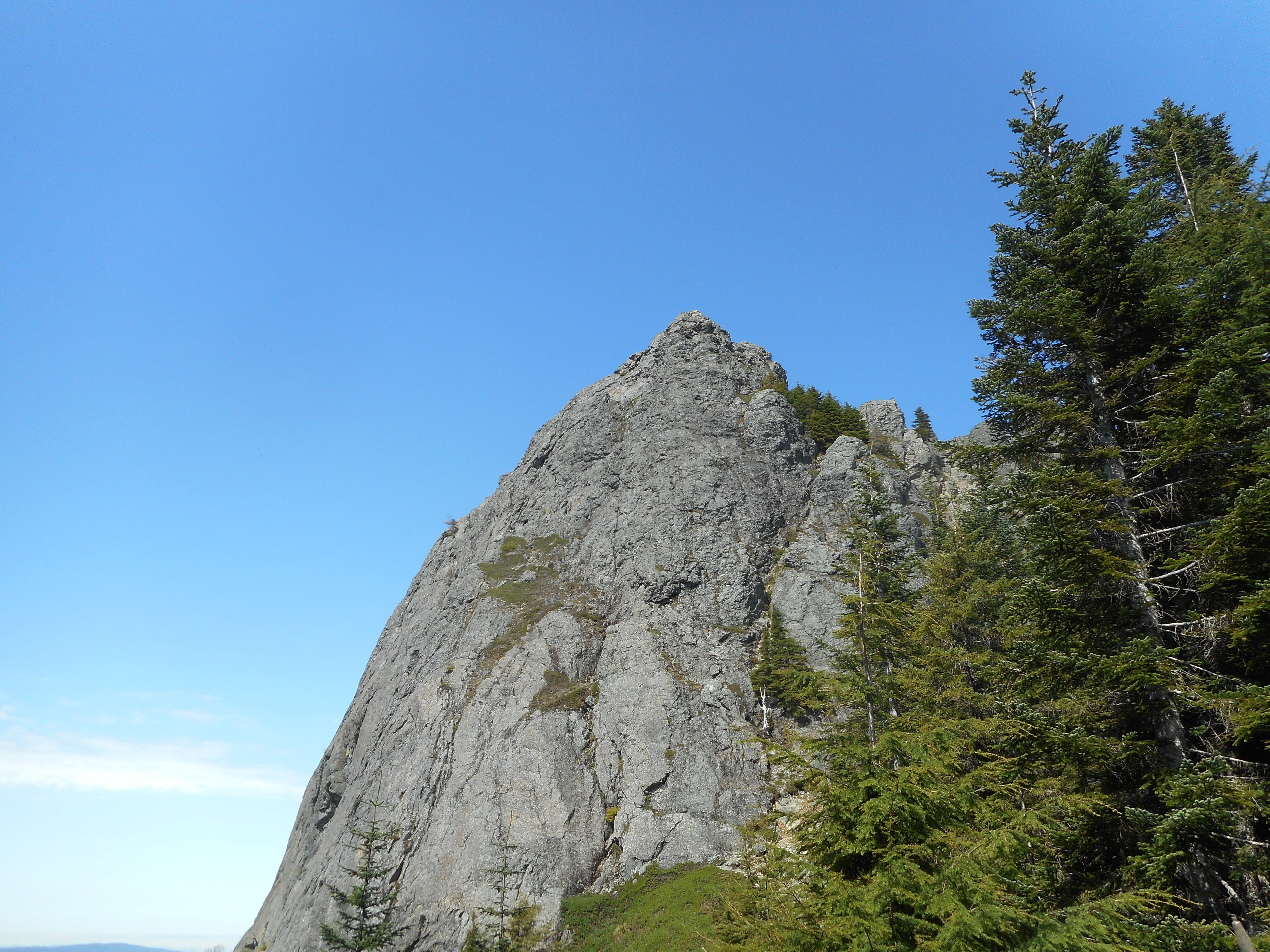
The Haystack is a popular rock to climb. But it isn’t for me.
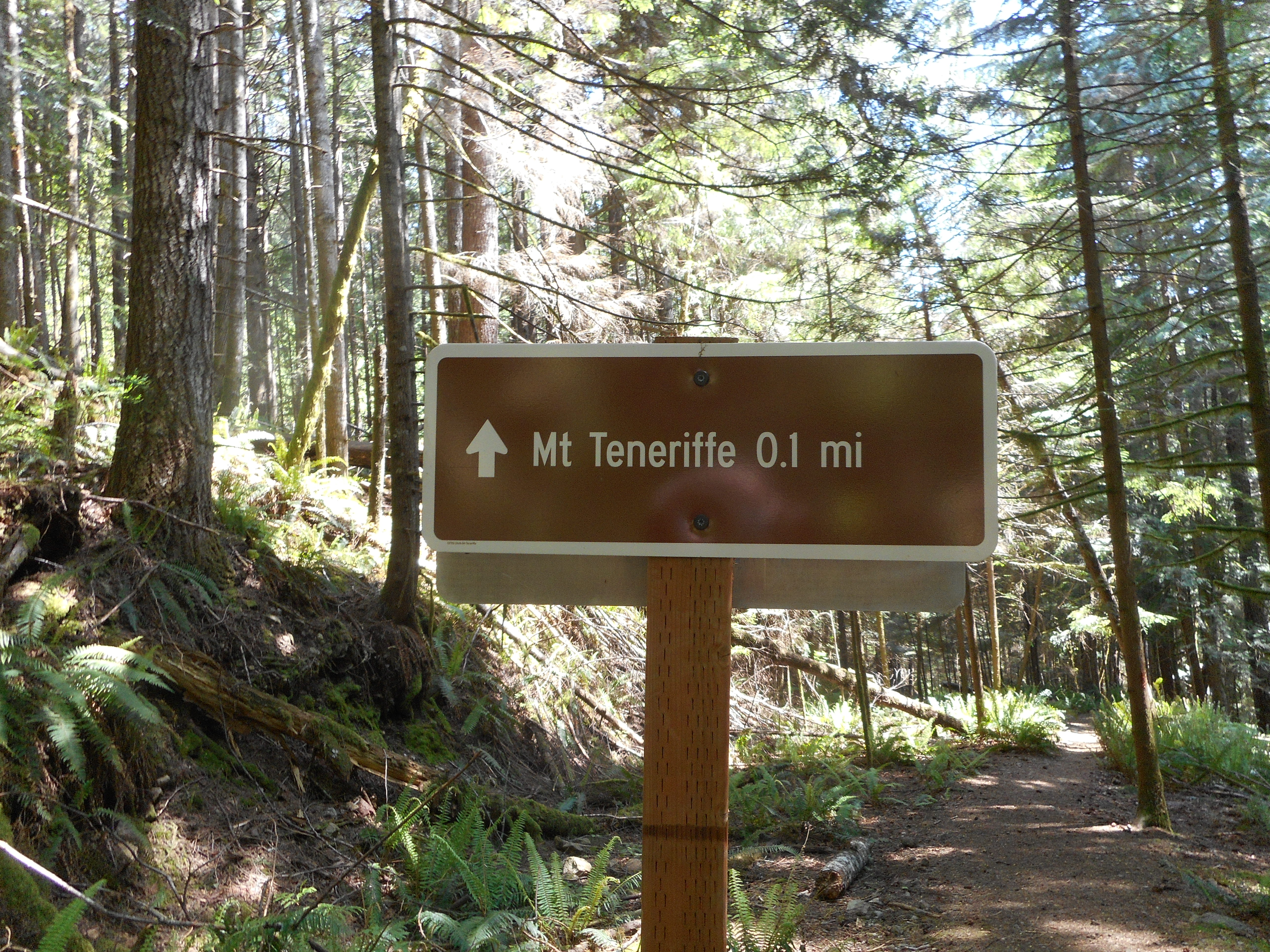
Finally, on the way down we chatted with a hiker going up. We were asking him about the Talus Rocks Loop and he showed us a photo of the sign. It was most helpful. He asked us to post a picture of the sign to get back to Teneriffe Trail from Talus Loop because he had never taken a picture of it. I will post it also on the WTA web site and cross-reference to this blog post.
A wonderful day but my legs are a bit beat right now after 10.4 miles and 3,600 feet of elevation gain.
The track:
https://adventures.garmin.com/en-US/by/djhiker/mt-si-via-teneriffe-5-15-2018#.Wvtg1H8h2po