Camp Brown Picnic 5/4/2021

Jan

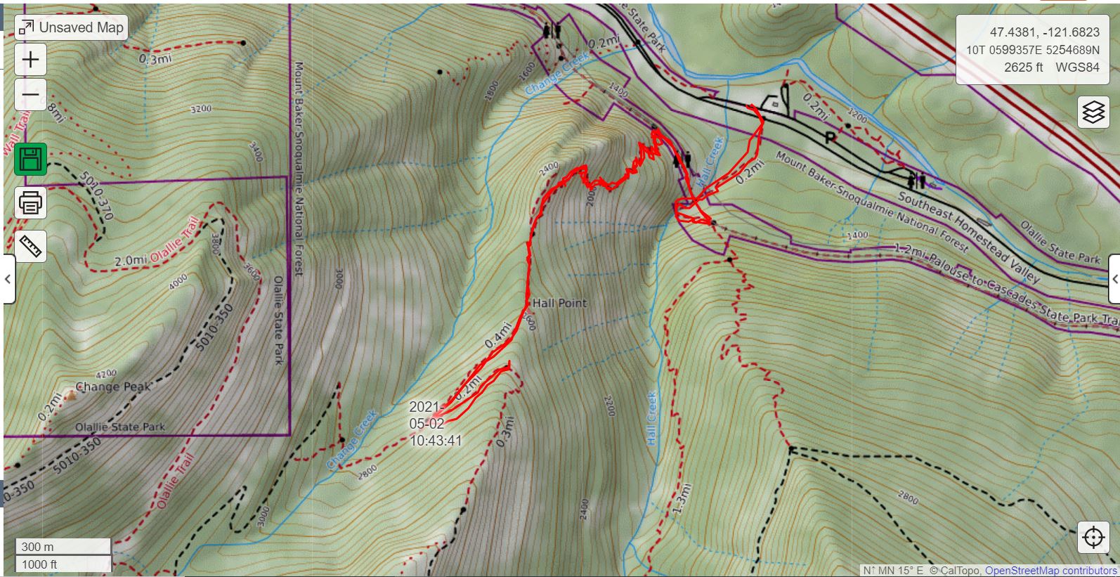
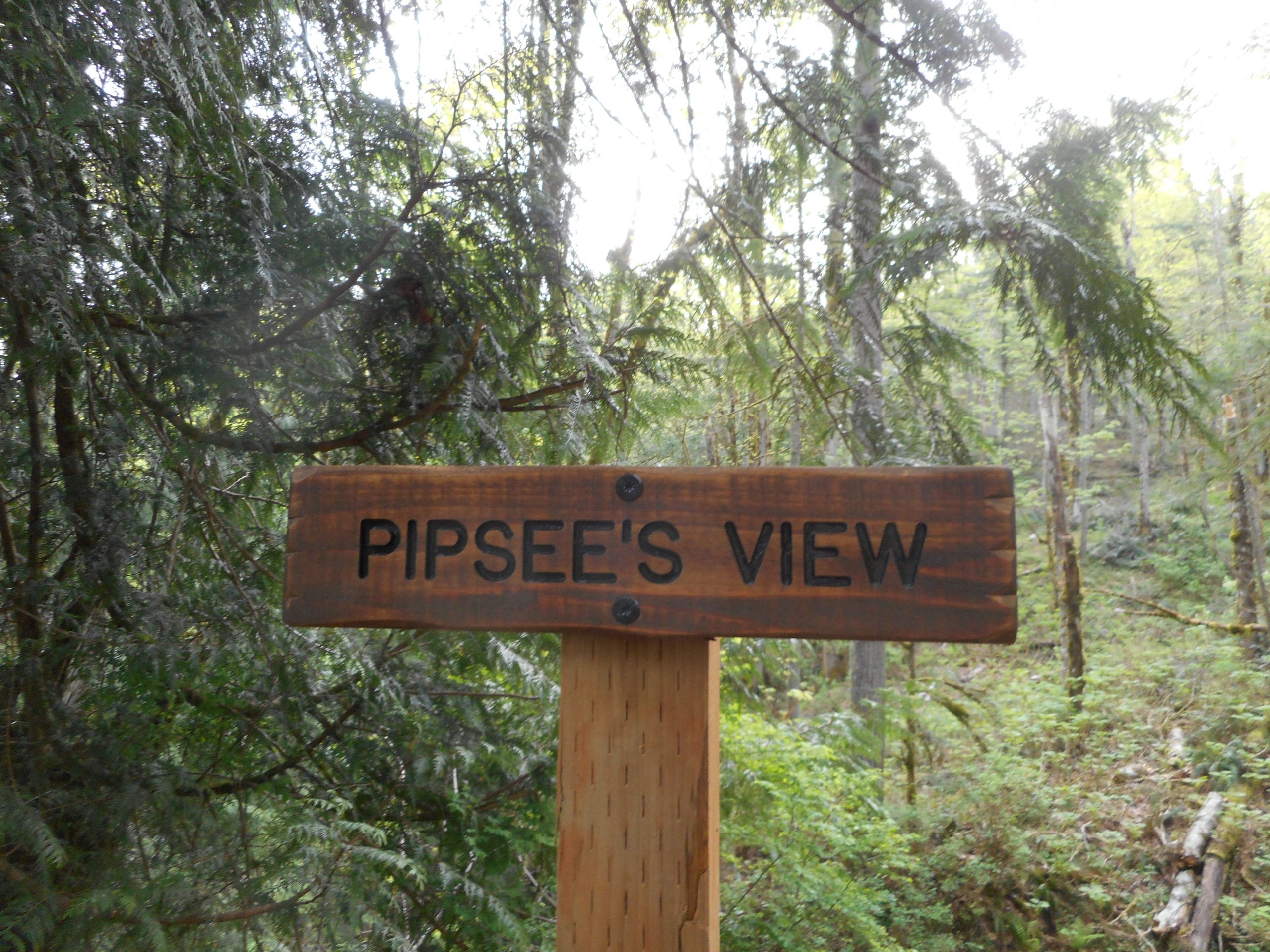
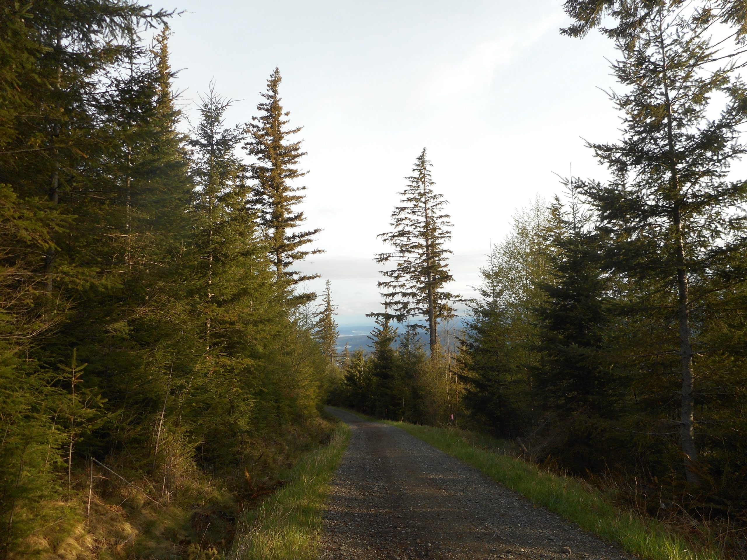
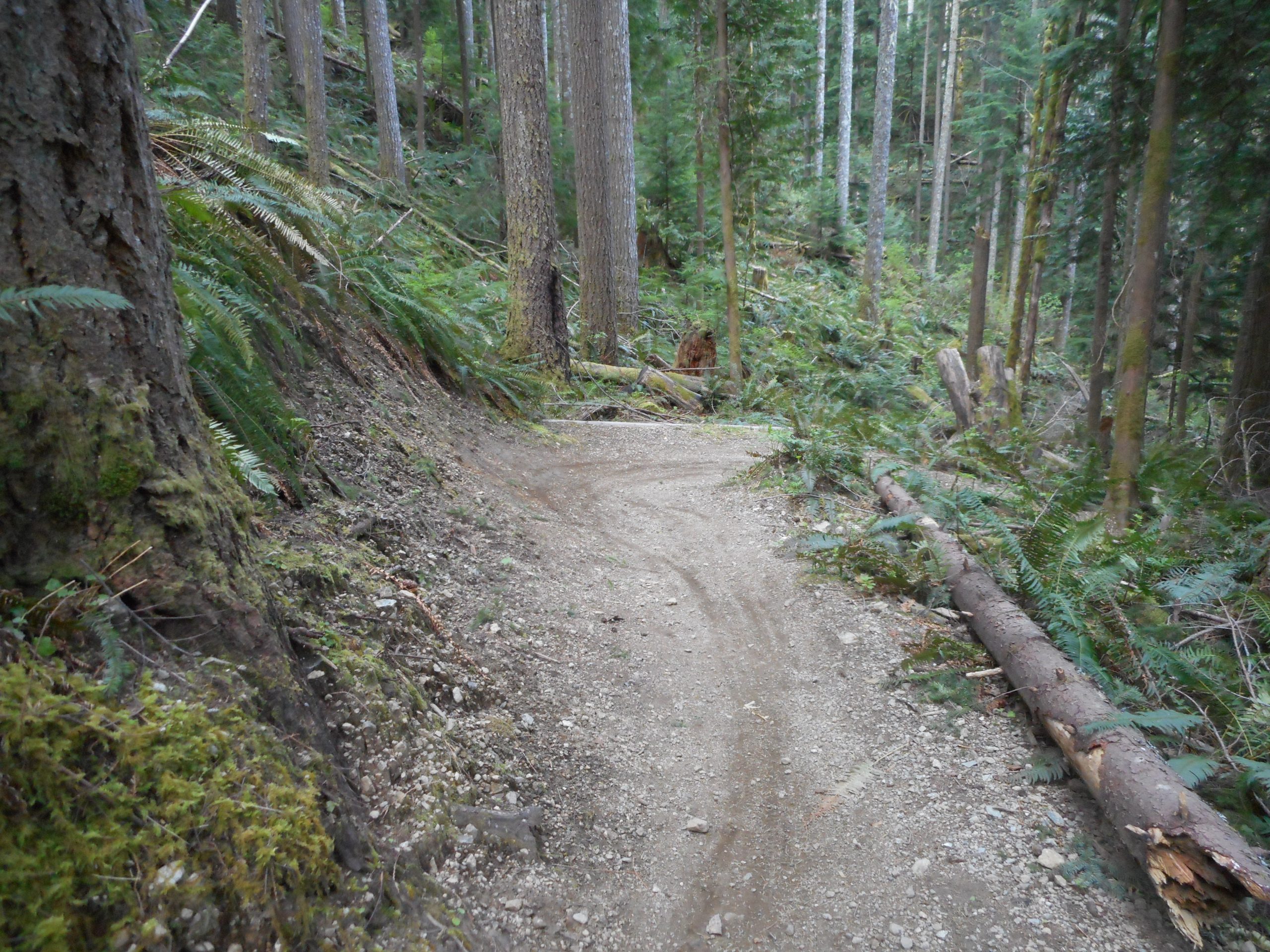
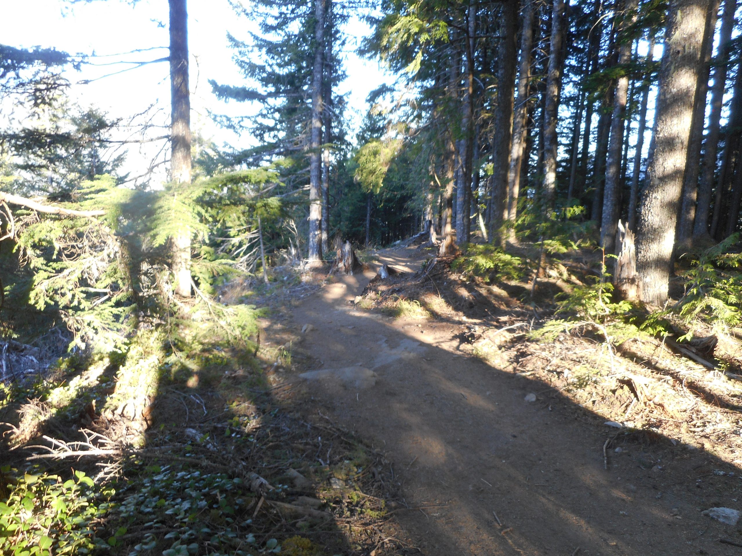
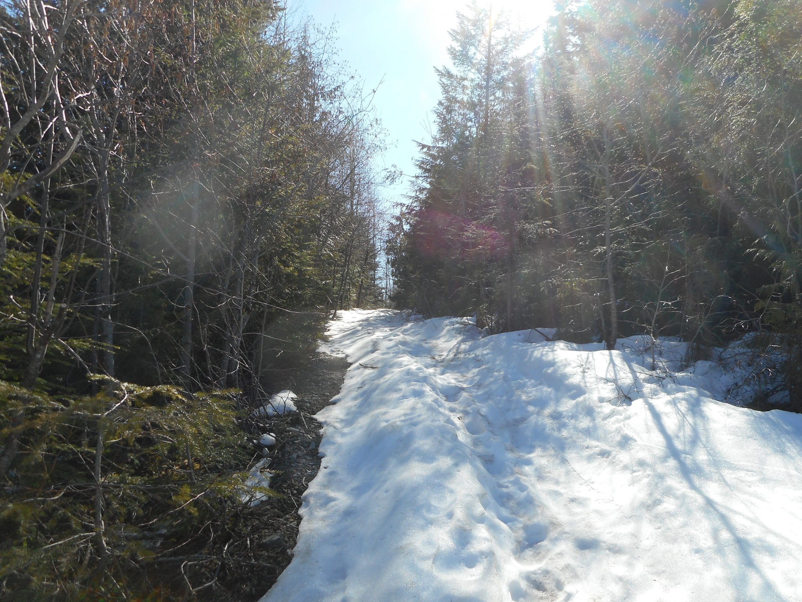
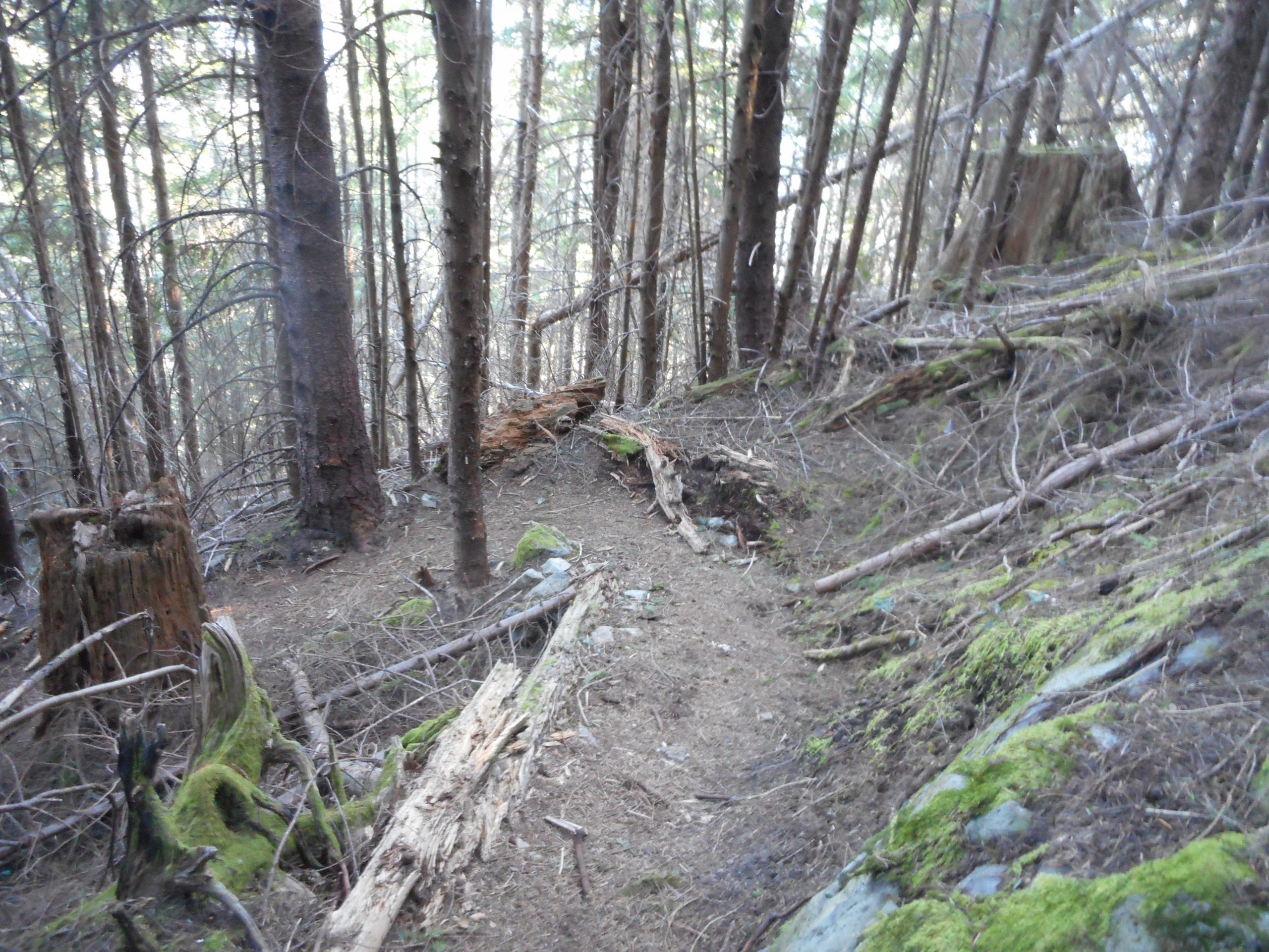
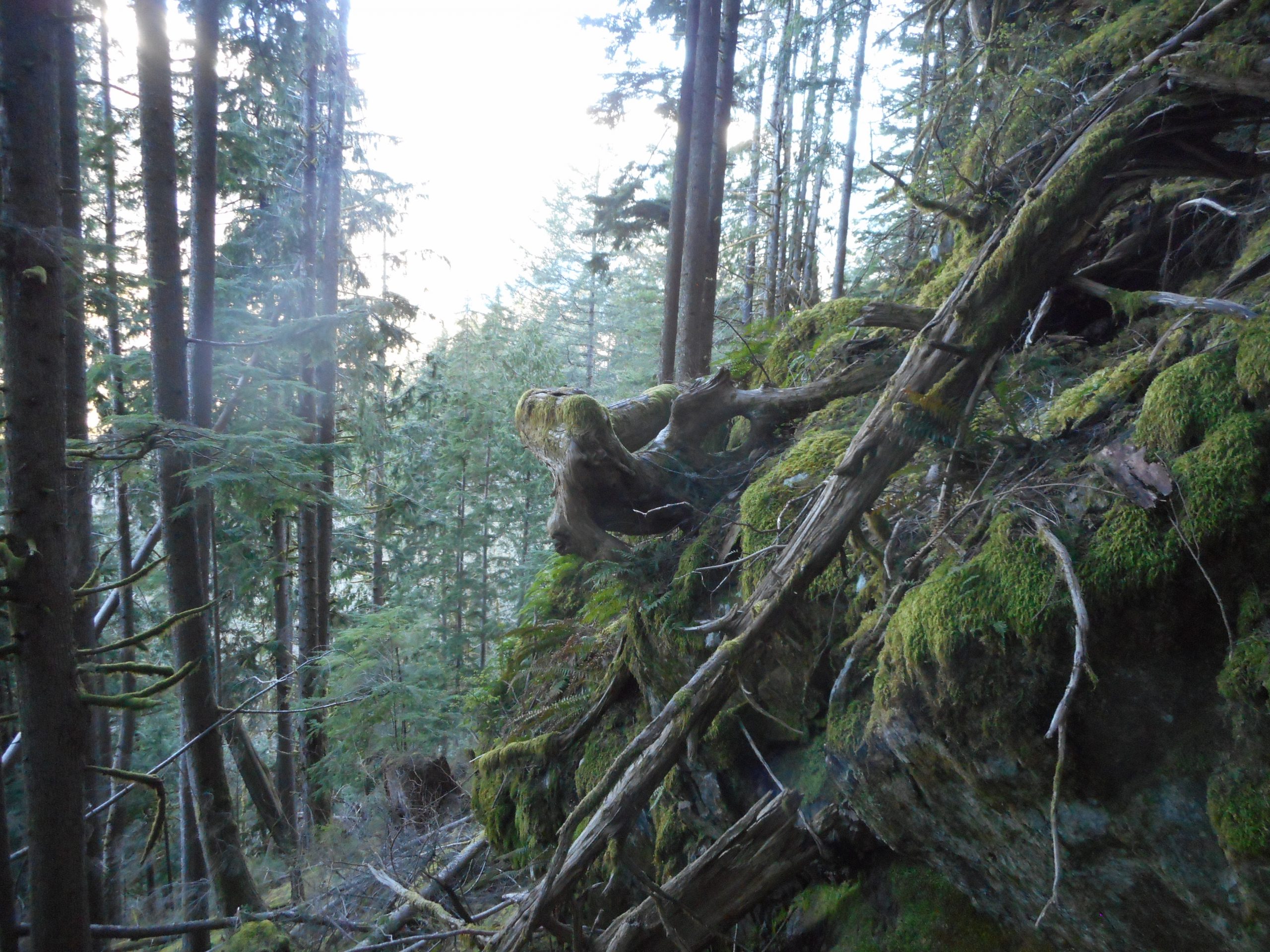
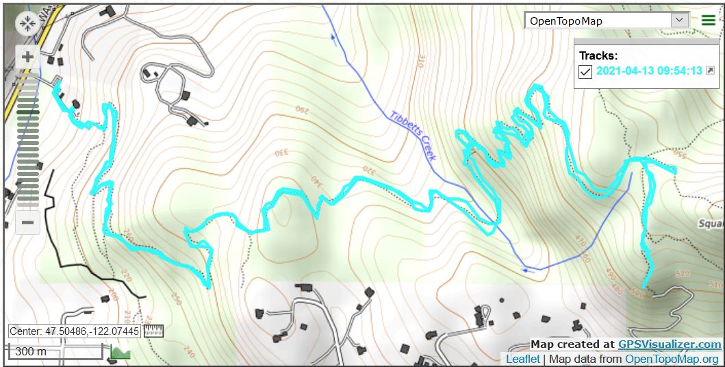
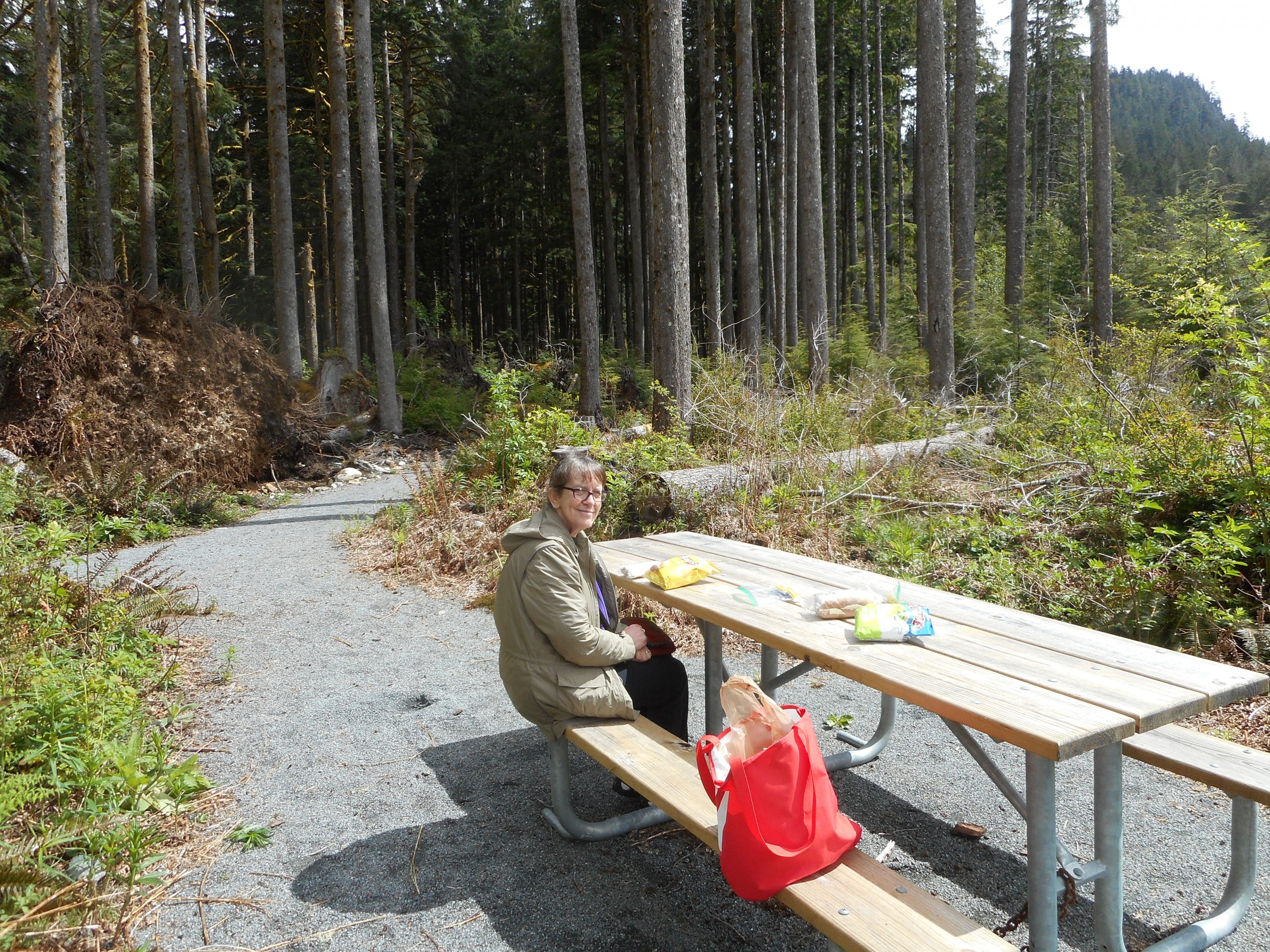
Not a hike today – Jan took a day off from work and we drove out FR56, the Middle Fork Road, into the heart of the Mt. Baker-Snoqualmie National Forest to Camp Brown, former site of a logging camp and other activities. Last year they carved out a nice little interpretive trail, a .5 mile loop, and we headed down the trail to the secluded and beautiful picnic spot to munch our sandwiches and nibble on chips. We were the only people around on a Tuesday and it was great.

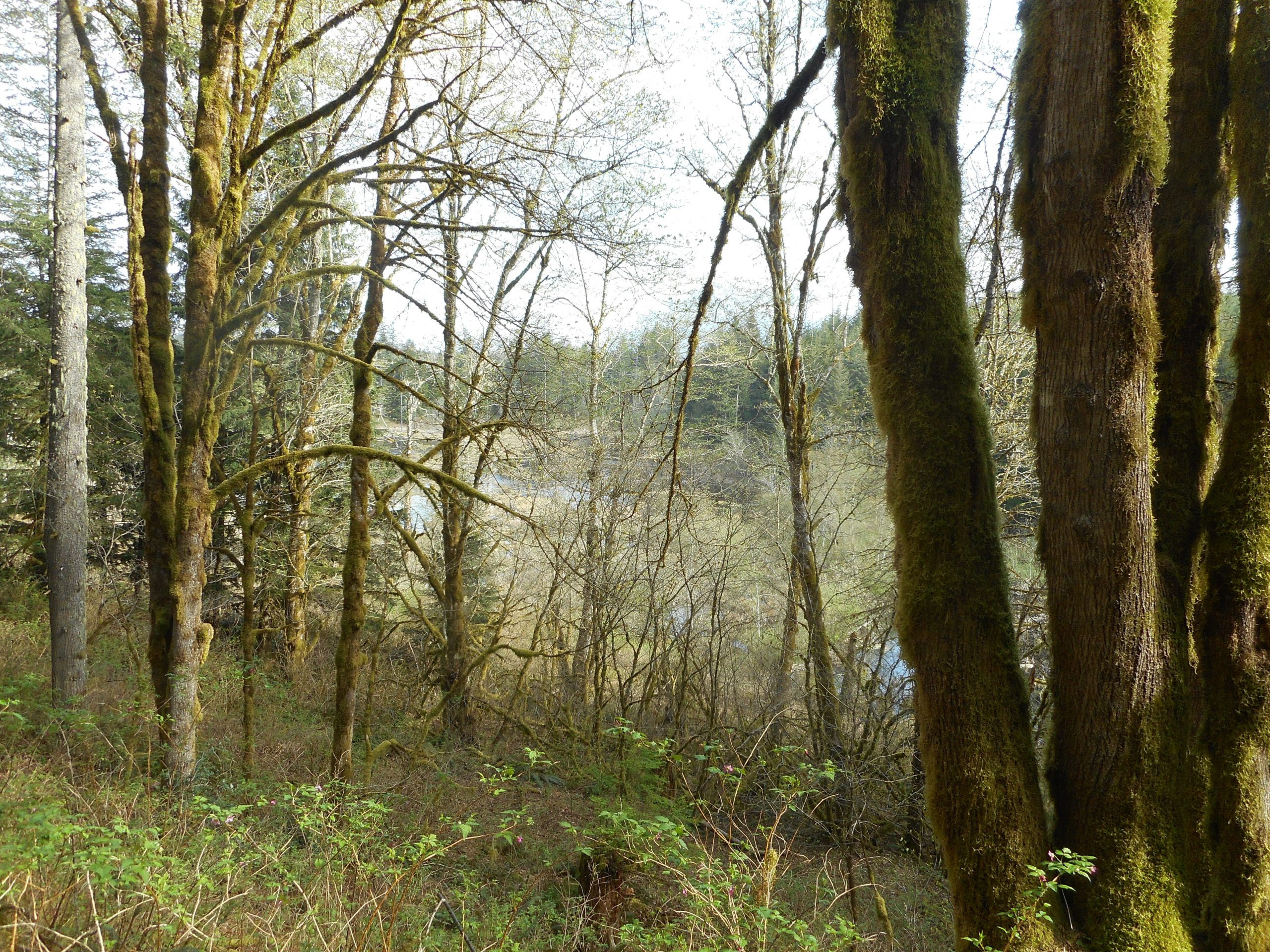
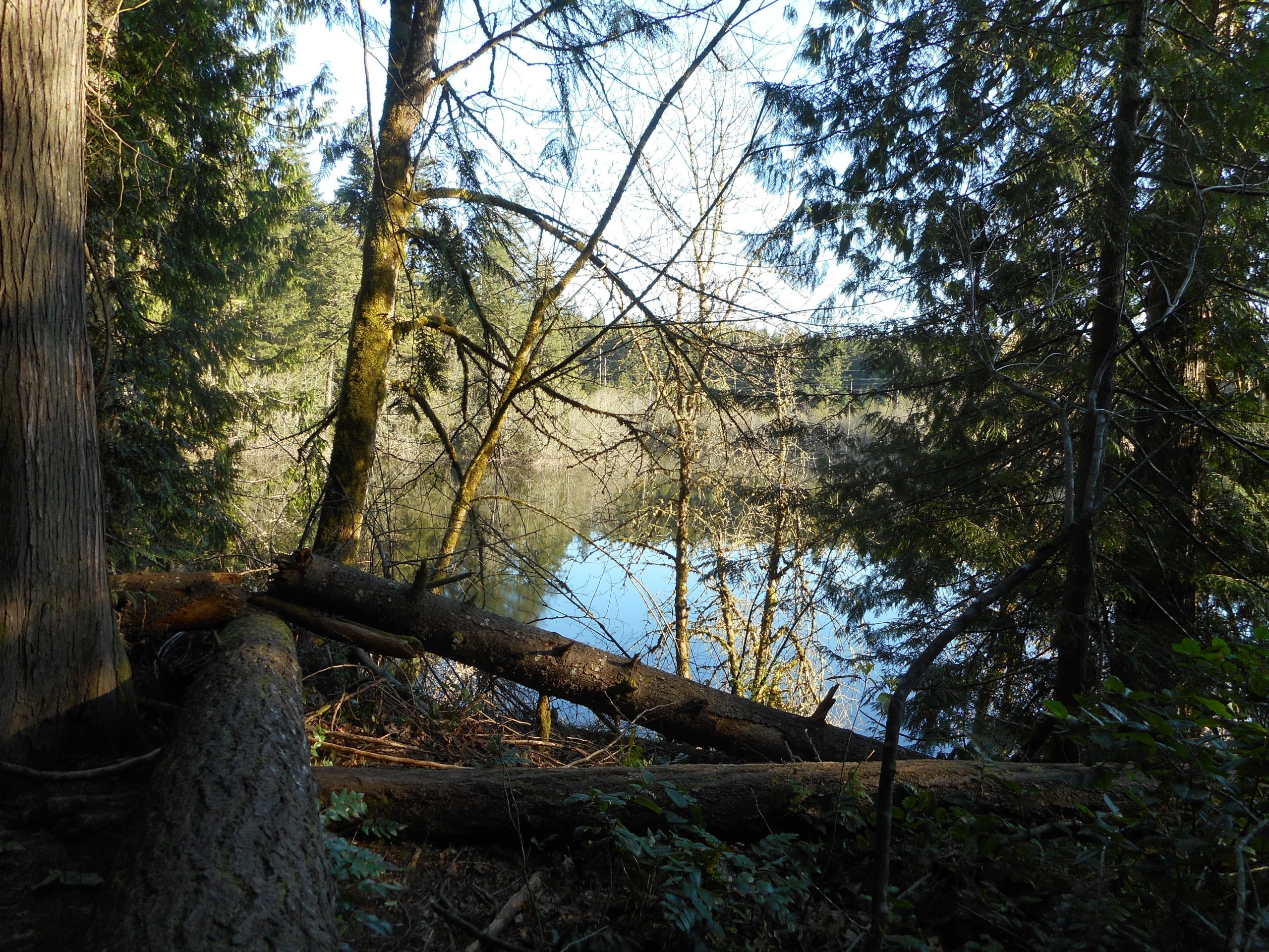
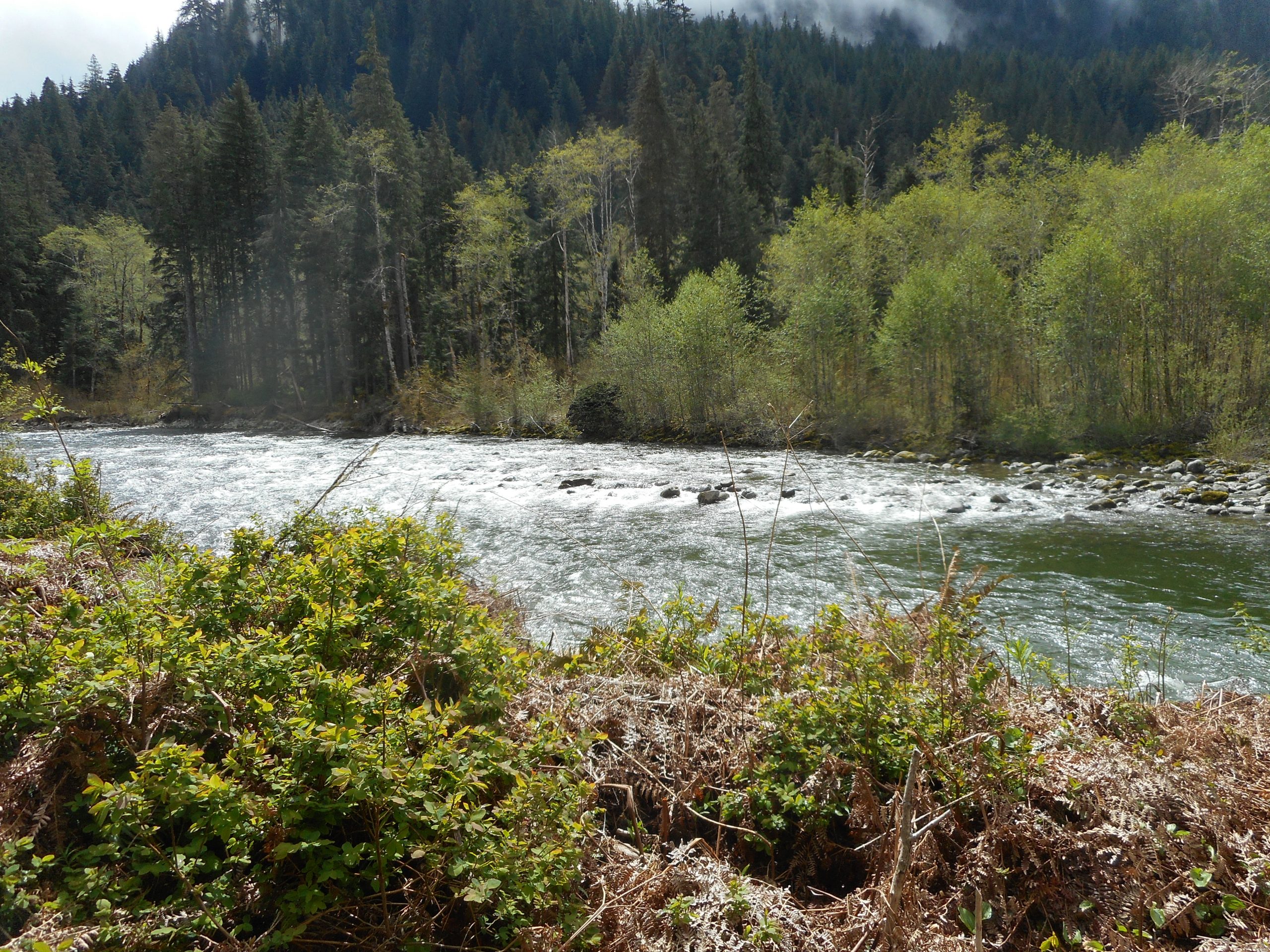
The place is right next to the Middle Fork of the Snoqualmie River:

Middle Fork

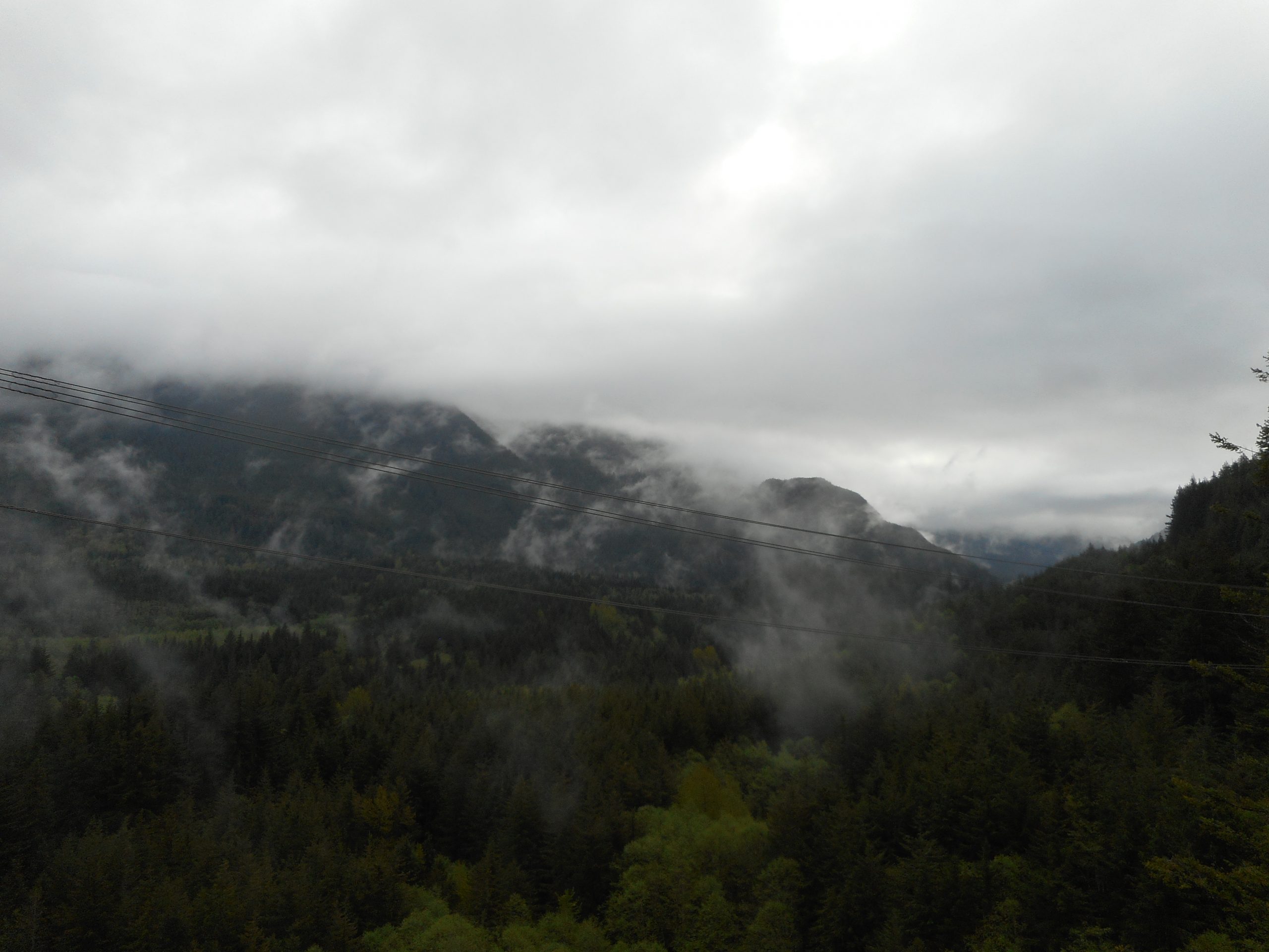
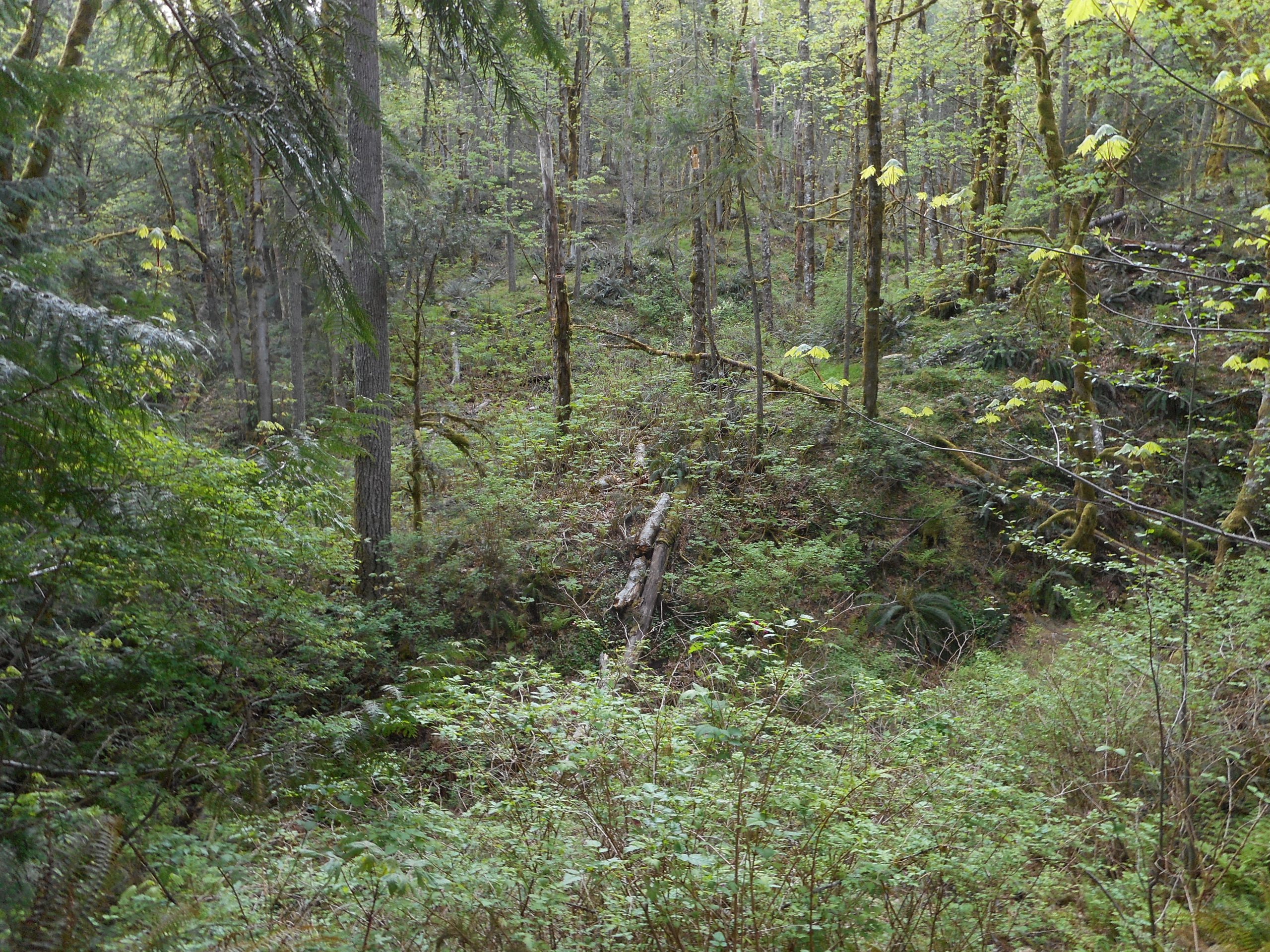
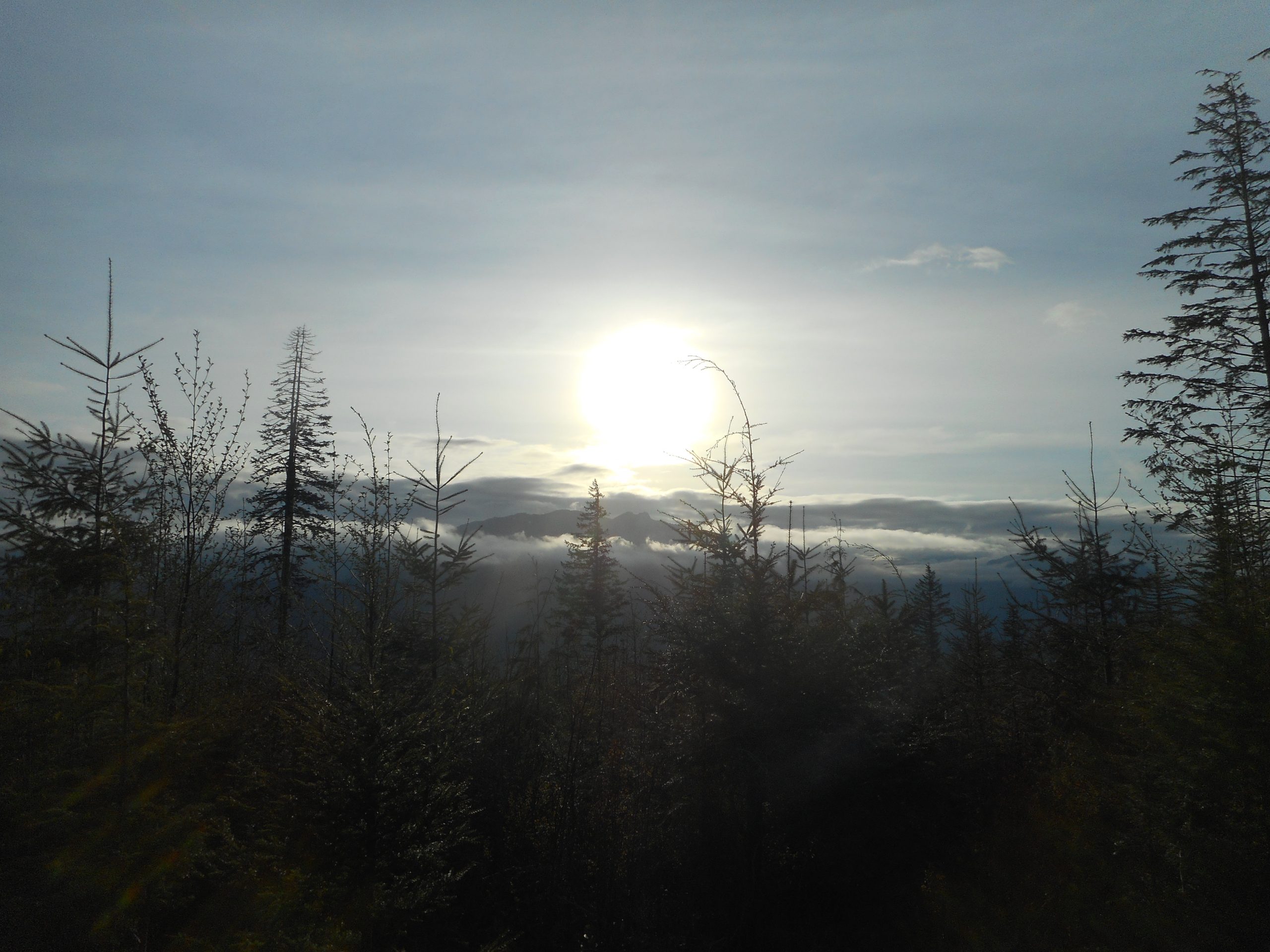
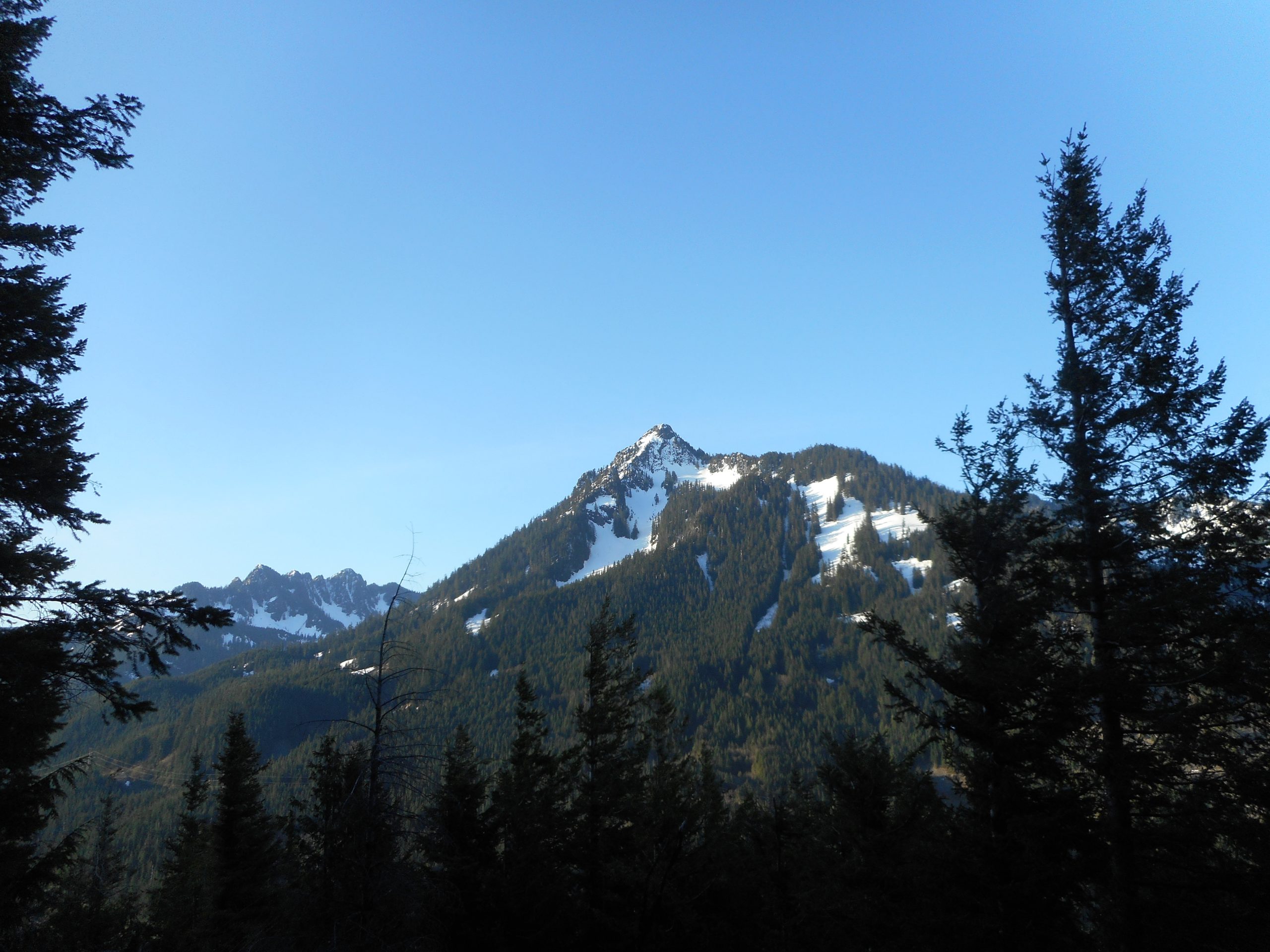
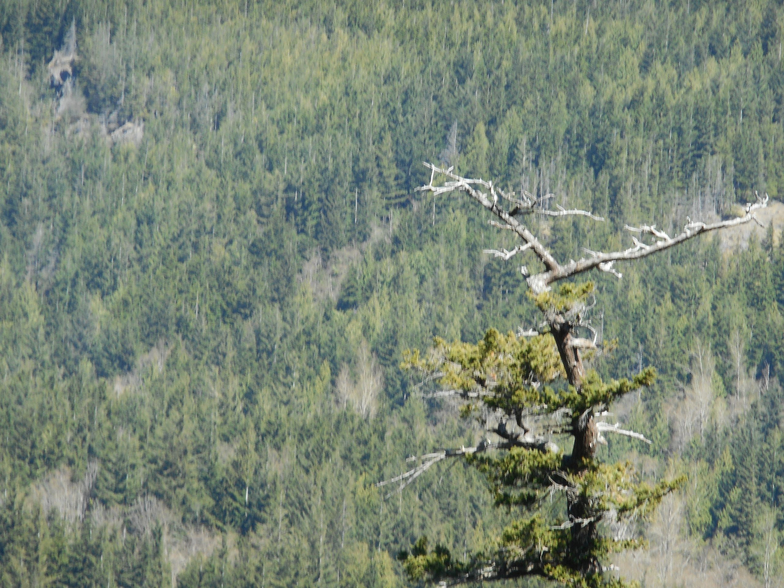
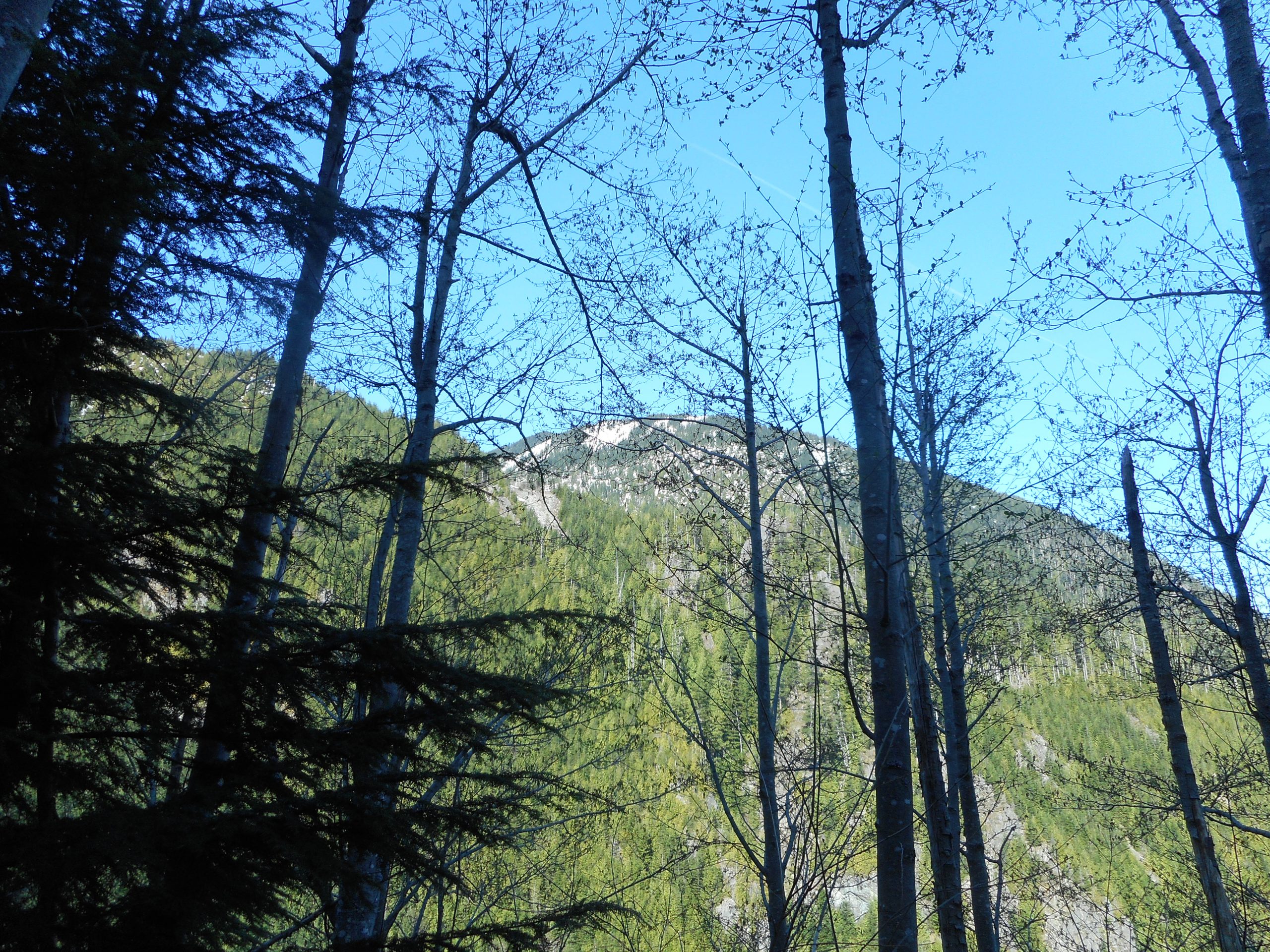
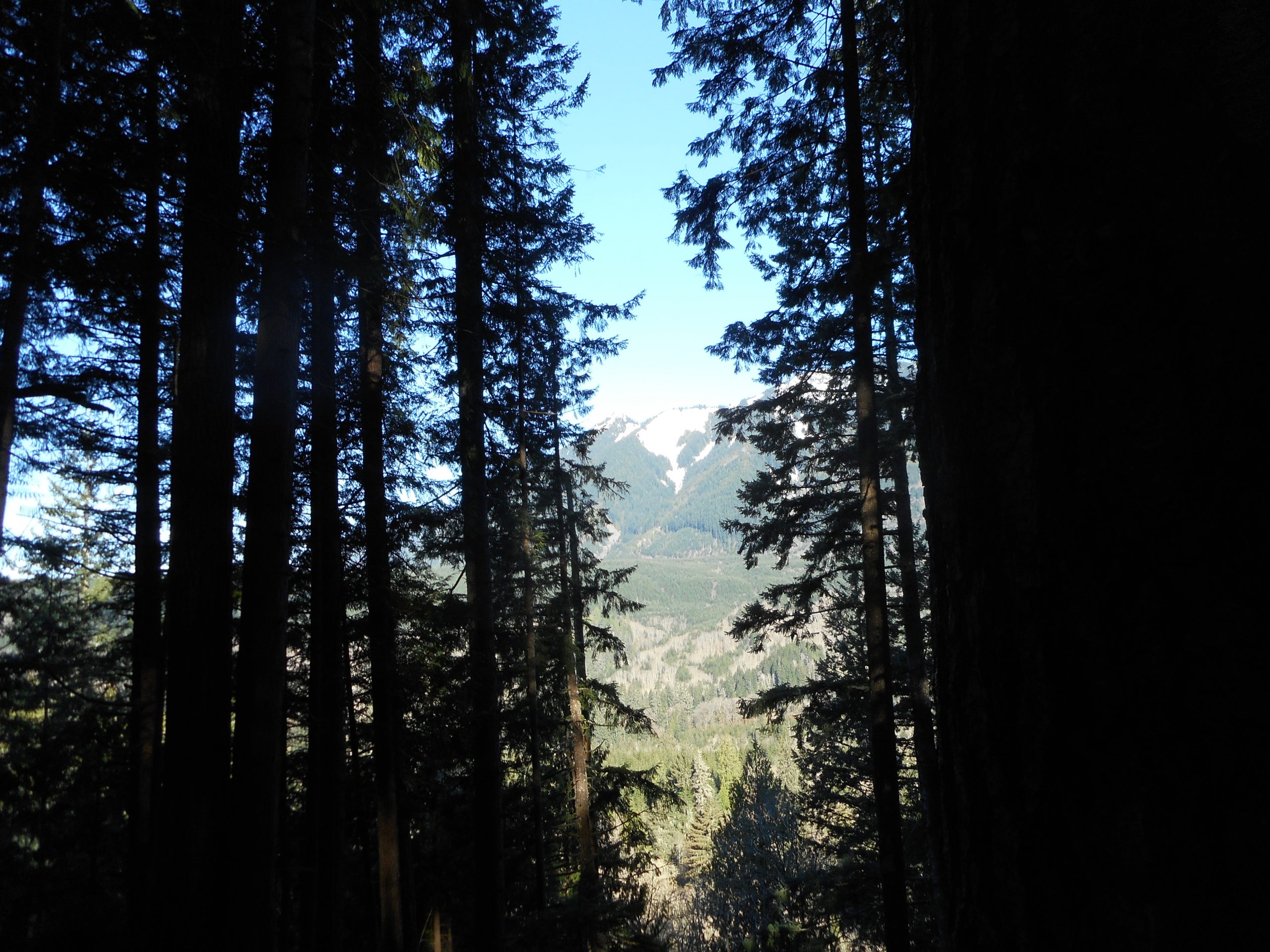
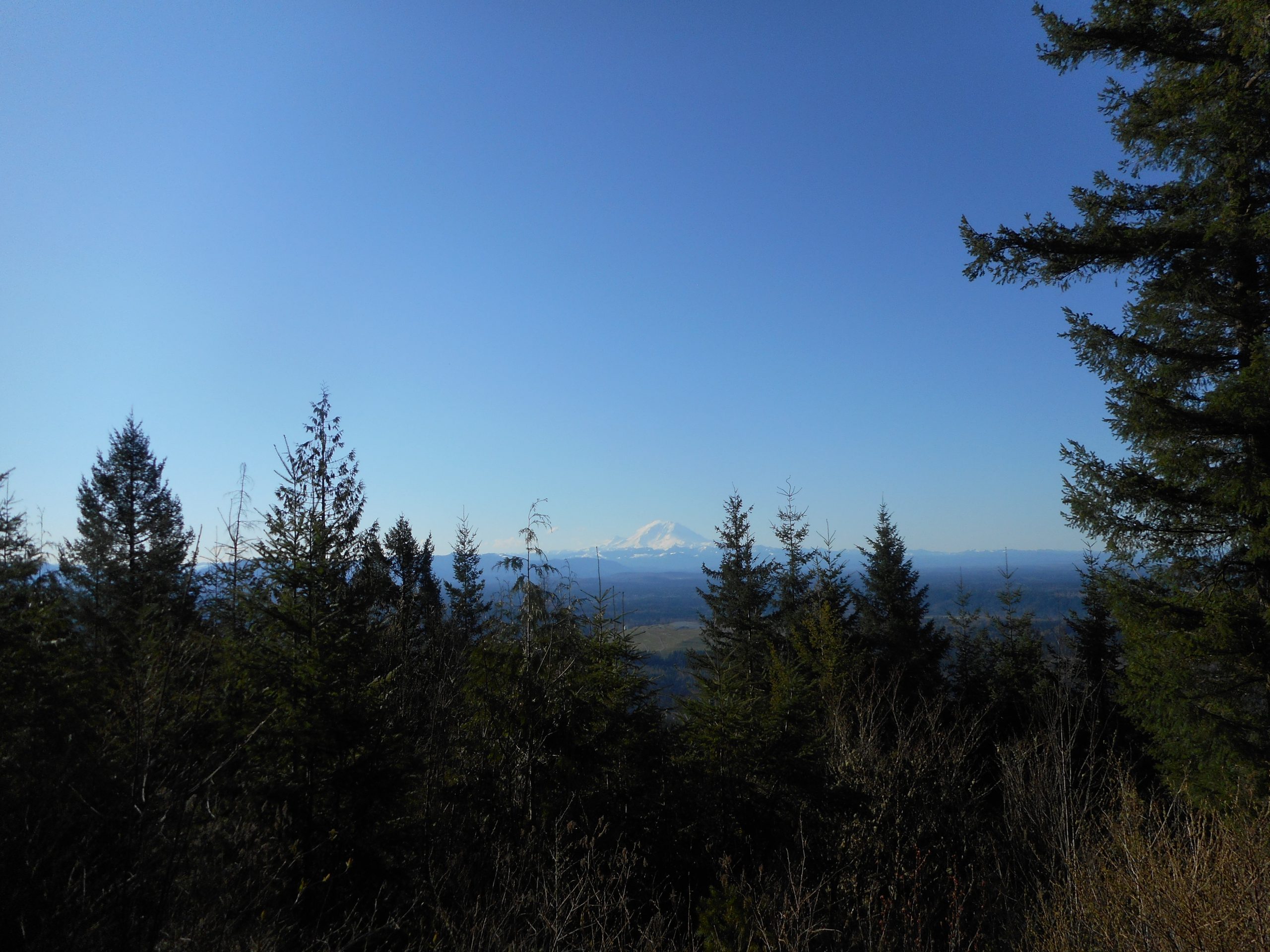
We were looking up at mountains like The Pulpit:

The Pulpit in the Clouds

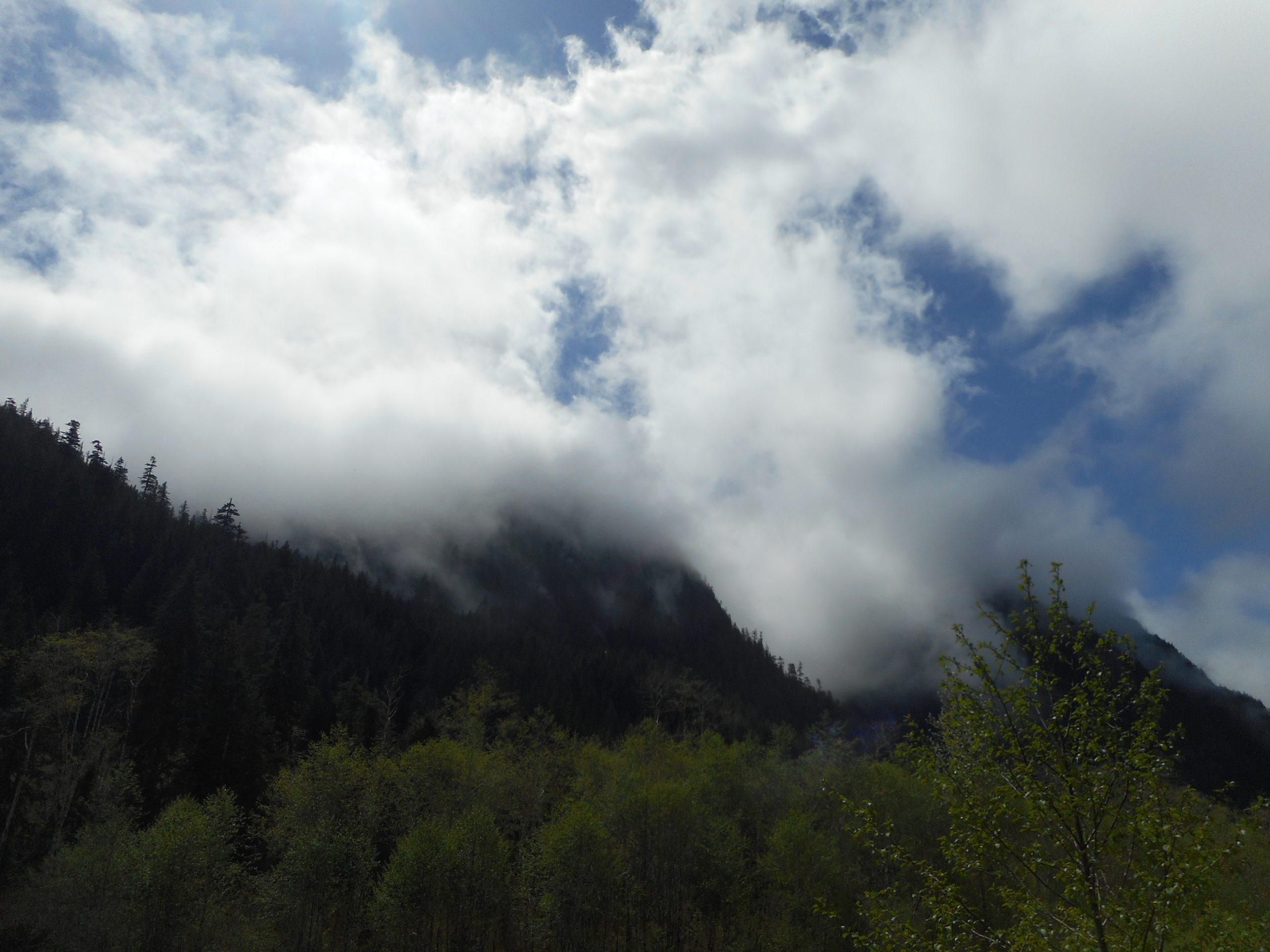
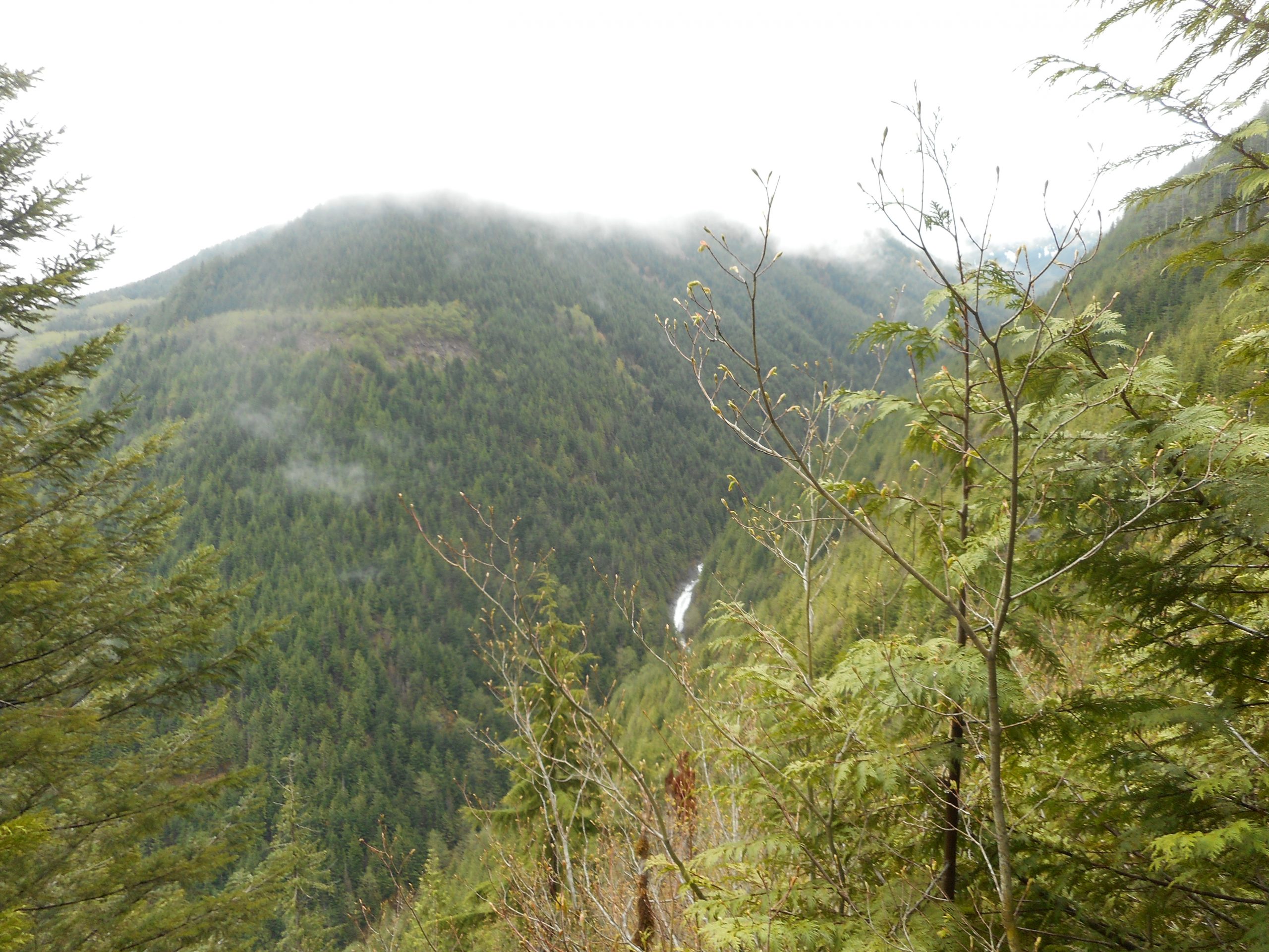
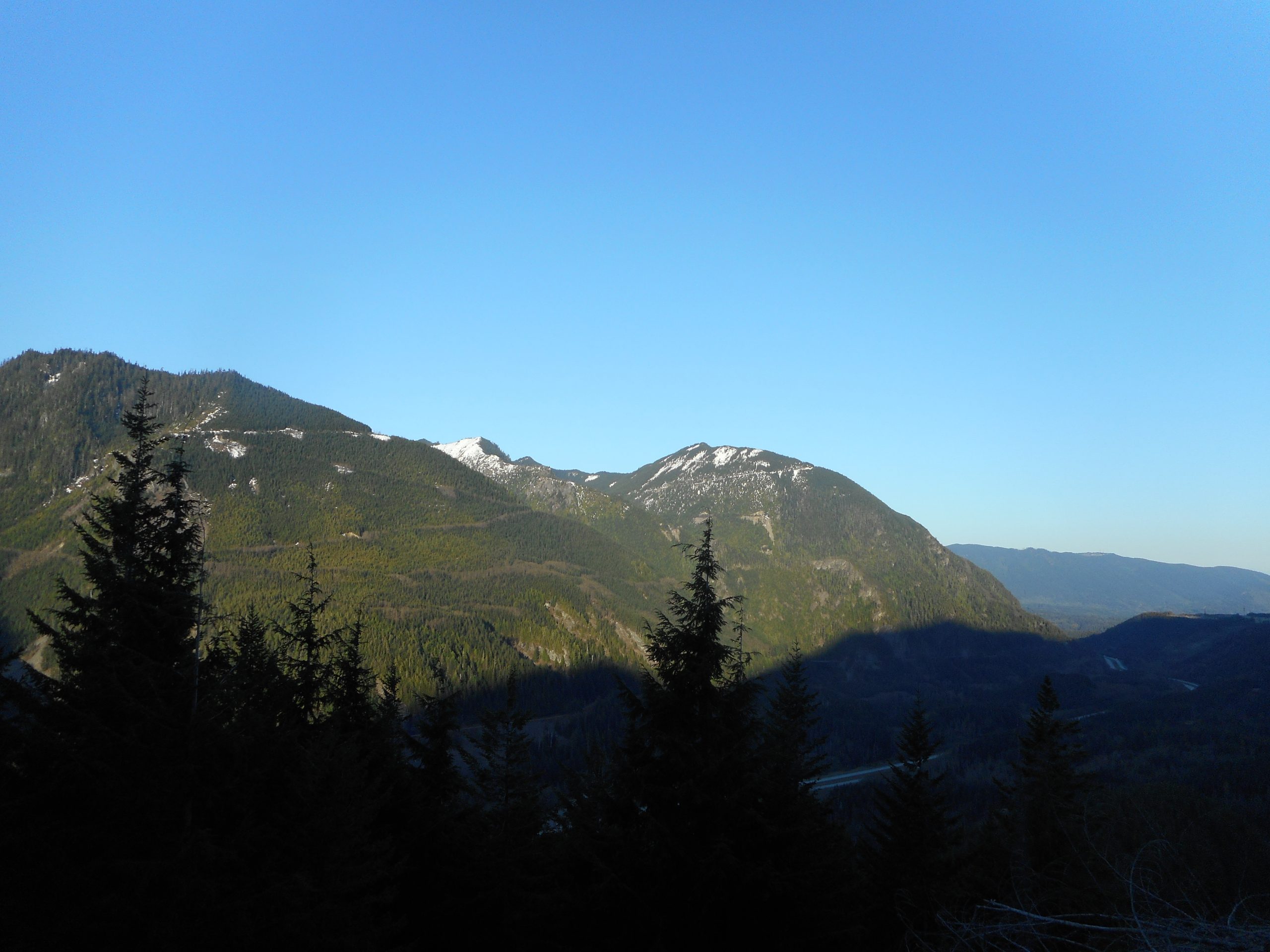
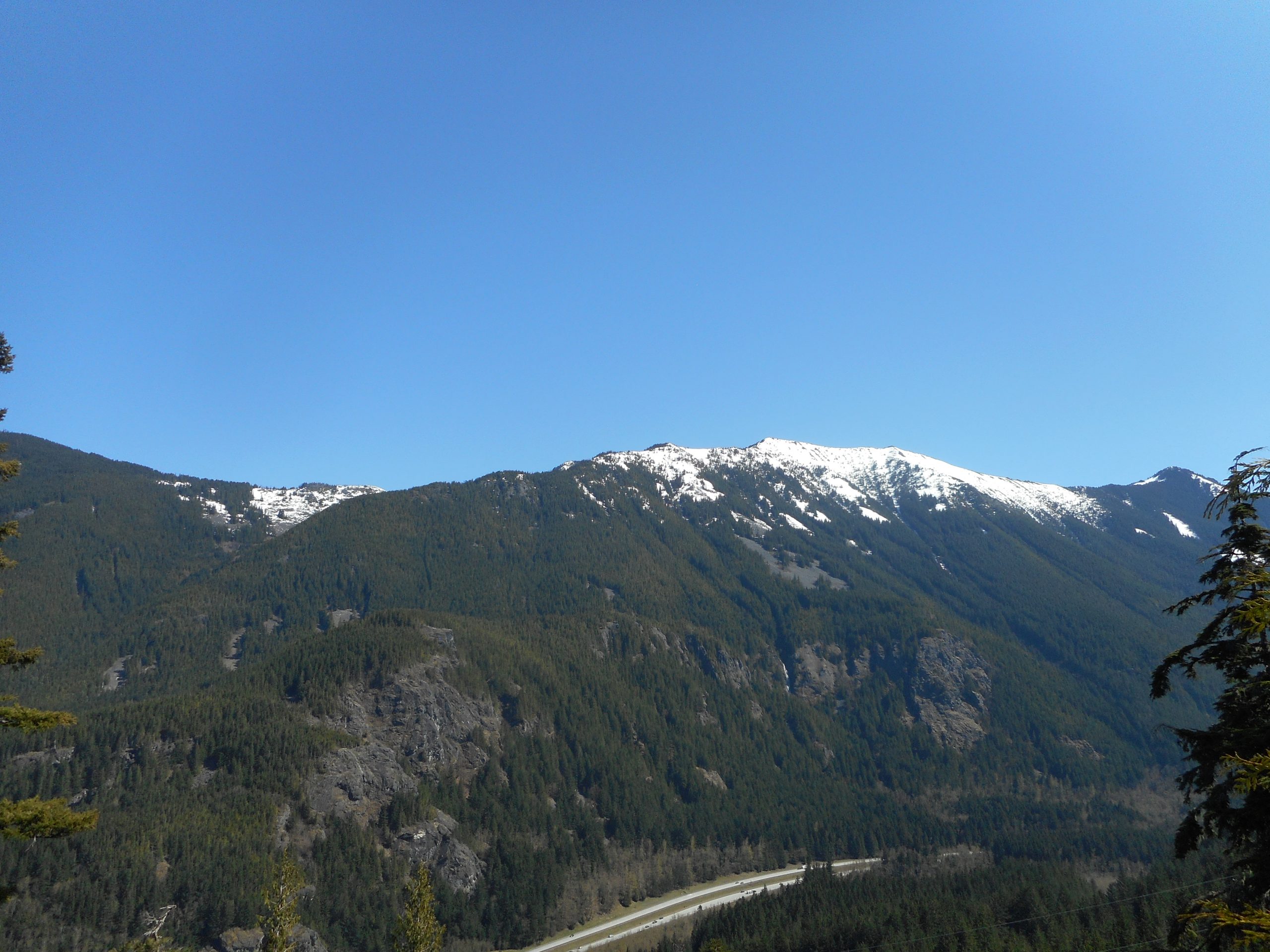
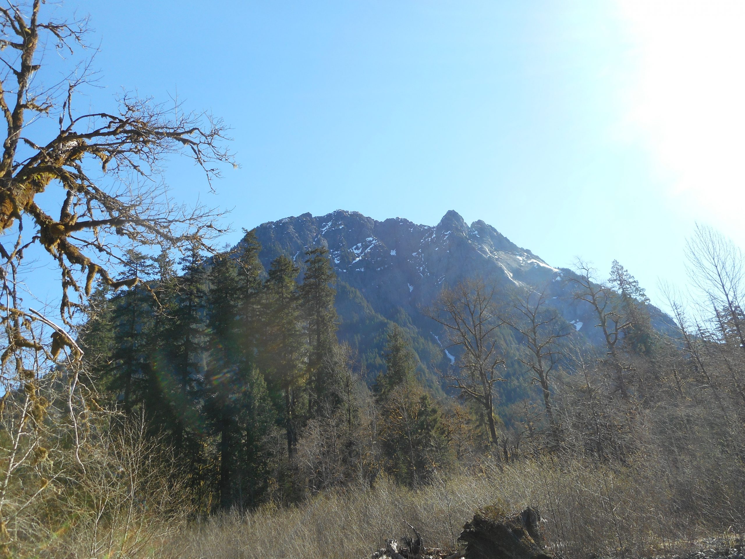
And at nearby Stegosaurus Butte:

Stegosaurus Butte

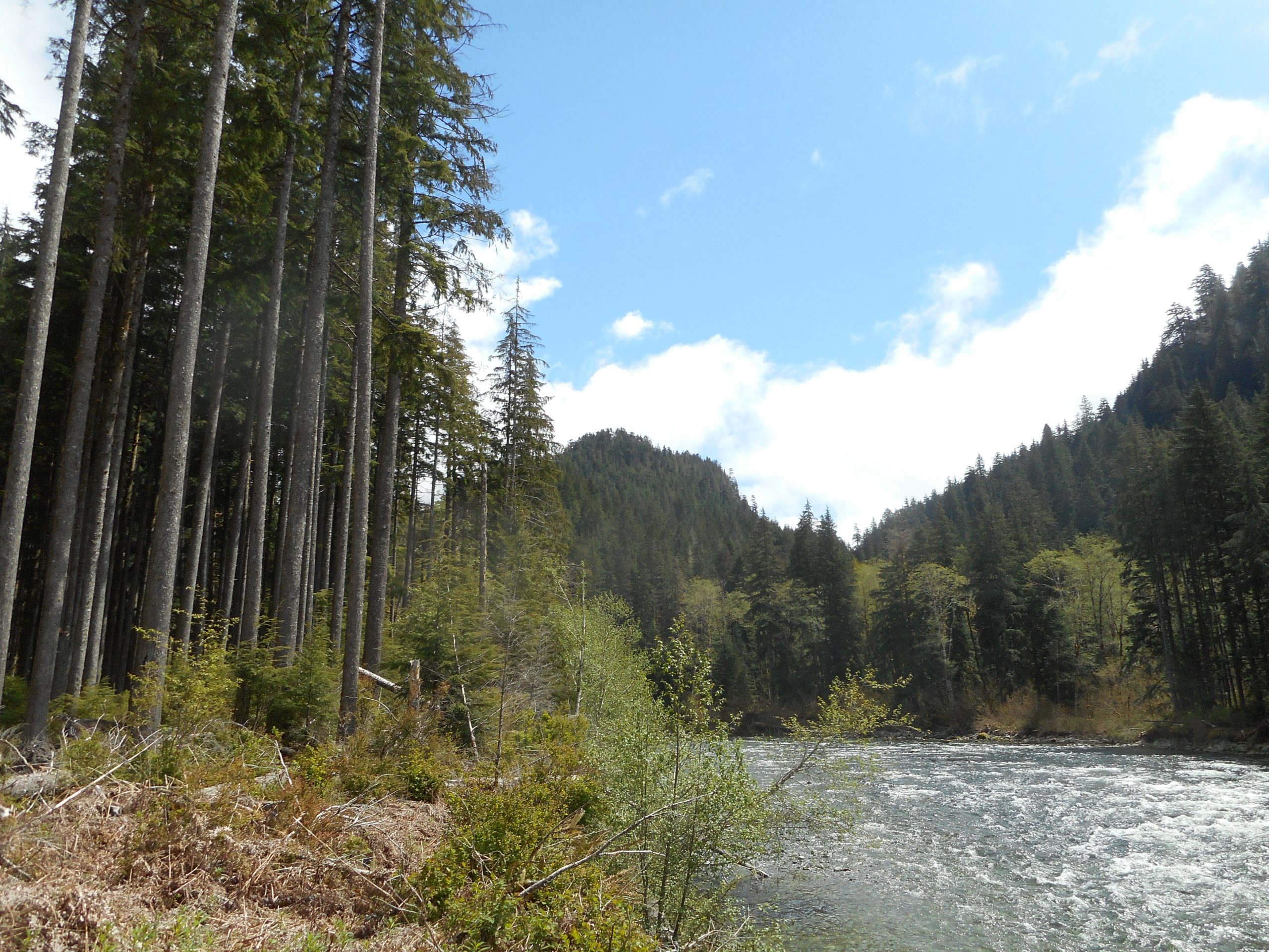
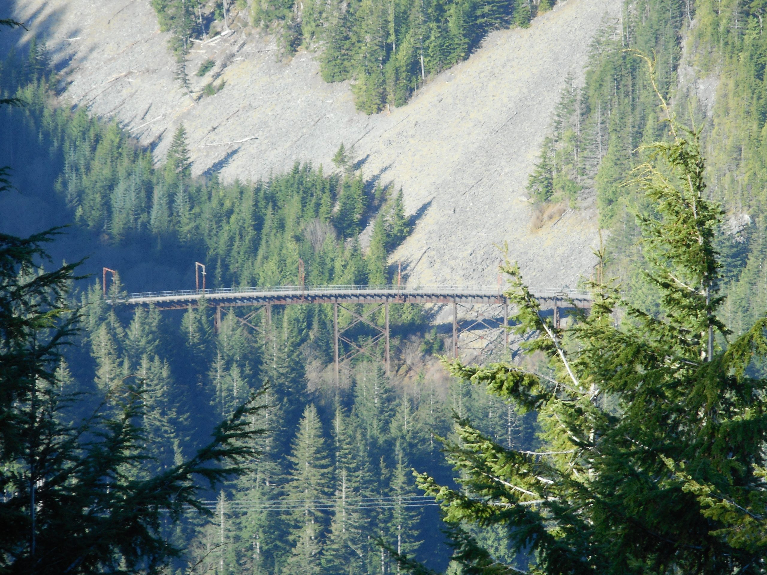
After we ate we strolled back to the car and I drove a short way on FR56 to the Middle Fork Trail Head where we made the short walk to the Gateway Bridge. Jan snapped a picture of the river but I left my camera in the car.

That’s OK, I will be back. There are many hikes to do in this area and I look forward to exploring as much as I can.

J’s Landing 5/2/2021

From the Trail

Only 4 miles today but plenty of workout. The Change Creek Trail, which I took up to J’s Landing, has a stretch where you gain about 1350 feet in a mile. It’s a challenge for old guys like me.

Not much of a view today, it was foggy and cloudy while I was hiking.

Today’s “View”

On the way home the sun started to come out and this afternoon is looking nice.

This trail has so many things to see, from waterfalls to interesting rocks:

Hall Creek Falls
Rock

This is the sort of thing that gives a Sunday morning plenty of zing.

Here is the track:

Track

Section Line 4/28/2021

Almost Dry

We have had one of the driest Aprils on record so I wasn’t surprised to see little Trillium Creek running low.

Anyway, I did my standard Section Line conditioning hike today. However, I should mention that all the hiking is paying off. It used to take me 40 minutes to get from the E. Sunset Way lot to the start of Section Line; today I did it in 34 minutes. And the Section Line, up to the intersection with the Nook Connector, used to take 35 minutes. Today I did it in 23 minutes. And without much straining.

On the way down Nook I saw a new sign:

New Sign

And here is the view itself:

The View

The only thing I could find via web search was that there is a video game, whose description sounds like it is a Pokemon rip-off, with a character called Pipsee. Is this some sort of gamer homage?

Another decent workout and the snow on the mountains continues to melt out. I am thinking next week I might just venture up Mount Si and/or Mount Washington.

Stan’s Overlook 4/27/2021

Here Comes the Sun

I got an early start this morning, leaving the car to go up the trail at 6am. Now that the sun is rising earlier and earlier I like to get out and beat the traffic.

Stan’s is another one of my conditioning hikes. I plan on getting out tomorrow so I didn’t want to hammer my legs. I am still thinking about what to do tomorrow, perhaps something in the Middle Fork area.

Part of the Rattlesnake hike today is the service road you can get on to bypass part of the forested trail and get some views. I snapped a different view on the way down:

Coming Down

Like I always say, it beats sitting on the couch.

Olallie Trail 4/23/2021

Mount Si and Little Si

I got out again today, going up Cedar Butte Trail to the Saddle, down Southside to Olallie, up Olallie to the first view point and then back down Olallie to PTC. Partly cloudy day but perfect temps.

There is a sign on the Olallie Trail that makes me think that someone named Dan had an accident, taking a corner too fast:

The Sign
The Corner

I just hope no one got hurt; it is more downhill than it looks in the photo and the bikers do come flying down at a hefty pace. Whenever I am on this trail I am ever-vigilant for bikers.

Here is a look at Christmas Lake from above:

Christmas Lake

About 8 miles, here is the track:

Track

I am going to try to get out on Sunday, which would make this a four-hike week. Sweet!

Dirty Harry’s Balcony 4/21/2021

Dirty Harry’s Balcony

I got lucky today. Perfect weather – not too hot or cold, no clouds, the views were forever. I started up the trail at 6:24 am and saw no one on the way up and a grand total of five people (a party of two and a party of three) on the way down. Beautiful.

It took me about 1 hour and 5 minutes to navigate up to the balcony, which is important because I do want to do this hike in time to watch the sun rise from that lofty perch. That means going up this trail with a headlamp. There are numerous side trails that lead to rock-climbing slabs so it is important to watch the trail signs. But doing this in the dark should be possible.

About 2/3 of the way up there is a great viewpoint looking south and west:

Change and Songbird Peaks

The trail itself is excellent:

A Bit of the Trail

There is also a nice view of one of my favorite bridges, the Mine Creek bridge:

Mine Creek Bridge

And here is the track:

All in all a very good workout and a fun hike. I expect to do something on Friday, not sure just what.

Section Line 4/20/2021

Tradition Lake

I did my typical Section Line hike today, no biggie. The only slight wrinkle is that I spent less time on the Bus Trail, having veered off to check out Tradition Lake.

I am thinking of going to Dirty Harry’s Balcony early tomorrow to time how long it takes me to get to the balcony. This is a popular spot to watch the sun rise, as it has a perfect and very high eastern view. As soon as the sun starts oozing over the mountains you get a major light show.

But you have to time it just right. Tomorrow I will give that a shot.

Zig Zag Trail 4/18/2021

Aerie

I hiked up the Zig Zag Trail today – almost no snow until I got to the top and then it was deep:

Snow En Route to Truck Summit

I went back via the service road NF9021, which was snowy most of the way. NF9021 intersects the PTC Trail and it is at least 2.5 miles along that wide and level trail (lots of bikes out) and I noticed the very cool tree at the top looking like it would be a perfect place for an eagle’s nest.

On the way up Zig Zag I noticed J’s and Hall Point and Change Peak looking majestic in the sun:

Western Stars

Here is a typical view of the Zig Zag Trail:

The Trail

It is steep (1400 feet of elevation gain in one mile) and narrow but easy to follow and not dangerous going up. A great workout for sure, and our weather this past week has been terrific. It is getting close to 80 degrees today and totally sunny. Supposed to be fairly nice next week as well.

As the snow recedes, tougher hikes are calling. For example, maybe something like this, which is north of where I was today:

Looking North

Here is the track, about 7.75 miles:

Track

Granite Creek Trail 4/15/2021

View from Granite Creek Trail

A little jaunt today up the Granite Creek Trail to the bridge – I turned around there (it’s about 2 miles, and steep) to avoid getting tangled up in snow. Also, I wanted to drive farther east on the Middle Fork Road to see if I could find the Rainy Creek Trail, which is supposed to be not far from the Rainy Creek Bridge I visited last week after Stego Butte.

I did find the trail and went up a hundred yards or so. Looks challenging but I am sure Derek will be up for an adventure.

On the way down I saw a really cool root just off the trail:

Root

At the Pratt River Trail trailhead you can take a short walk to a nice picnic area that has a great view of the river and Mount Garfield:

Looks Challenging

I also stopped at Camp Brown on the way back. This is also a very nice spot, it has a .5 mile interpretive trail with signs that explain the area was a logging camp way back in the day, then a sort of boy scout camp and then I forget what else, but is now a wonderful little spot with several picnic areas, awesome forest and nice-sounding river views.

Fun!

Margaret’s Way 4/13/2021

Mount Rainier

Nice hike and workout today. It was a 7-miler up and down the Margaret’s Way trail on Squak Mountain. Beautiful day, supposed to be great all week.

I did the little side trip to Debbie’s View (above). Not much extra mileage but it is a good view point.

There is a stand of birches I always love:

Birches
A Little Flower of the Mountain

Track below. Not sure where I will go Thursday, but I do plan to get out on the trail.

Track