My plan today was to hike past the lakes Derek and I saw in early June, the day we hit Truck Summit from the south and east, and take what appears on Google Earth to be a service road that snakes up south and east to the vicinity of the western stretch of the McClellan Butte trail.
Sadly, moron that I am, I failed to bring my rain pants along and when I got to a longish stretch of total wet brush I had to choose between turning around and getting completely soaked.
I turned around because the last time I got soaked I had my rain pants to change into but this time, not so much.
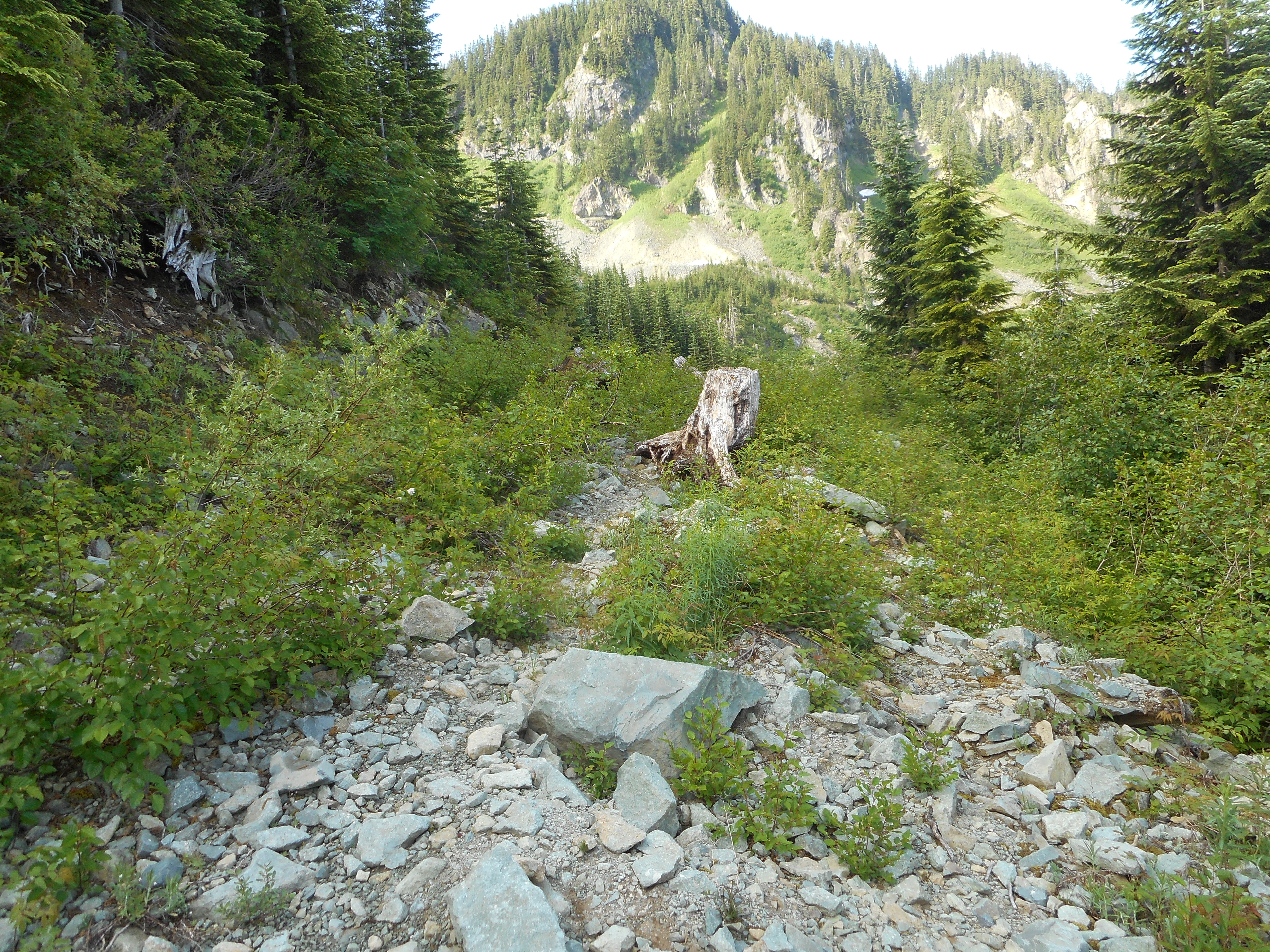
So I got up to about 3500 feet, just nearing the point where the Mine Creek gorge starts to turn west, 3 miles from the car (parked at IHT and Garcia) and I could see that the only way forward was to bushwhack through wet brush. Cursing my lack of foresight I turned around, acknowledging my pathetic failure to carry through on my plan.
This is near where I turned around, before it turned into total brush:
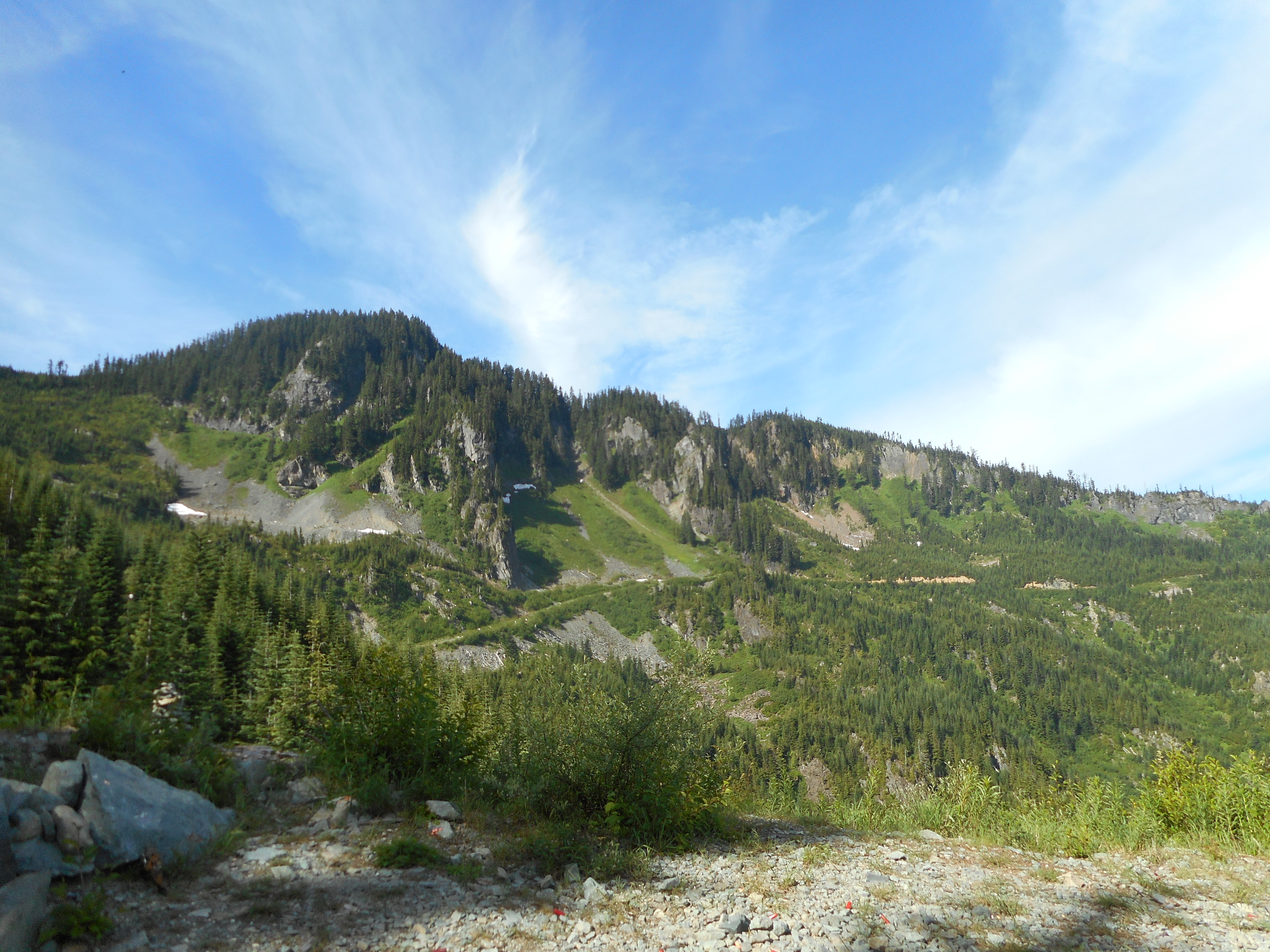
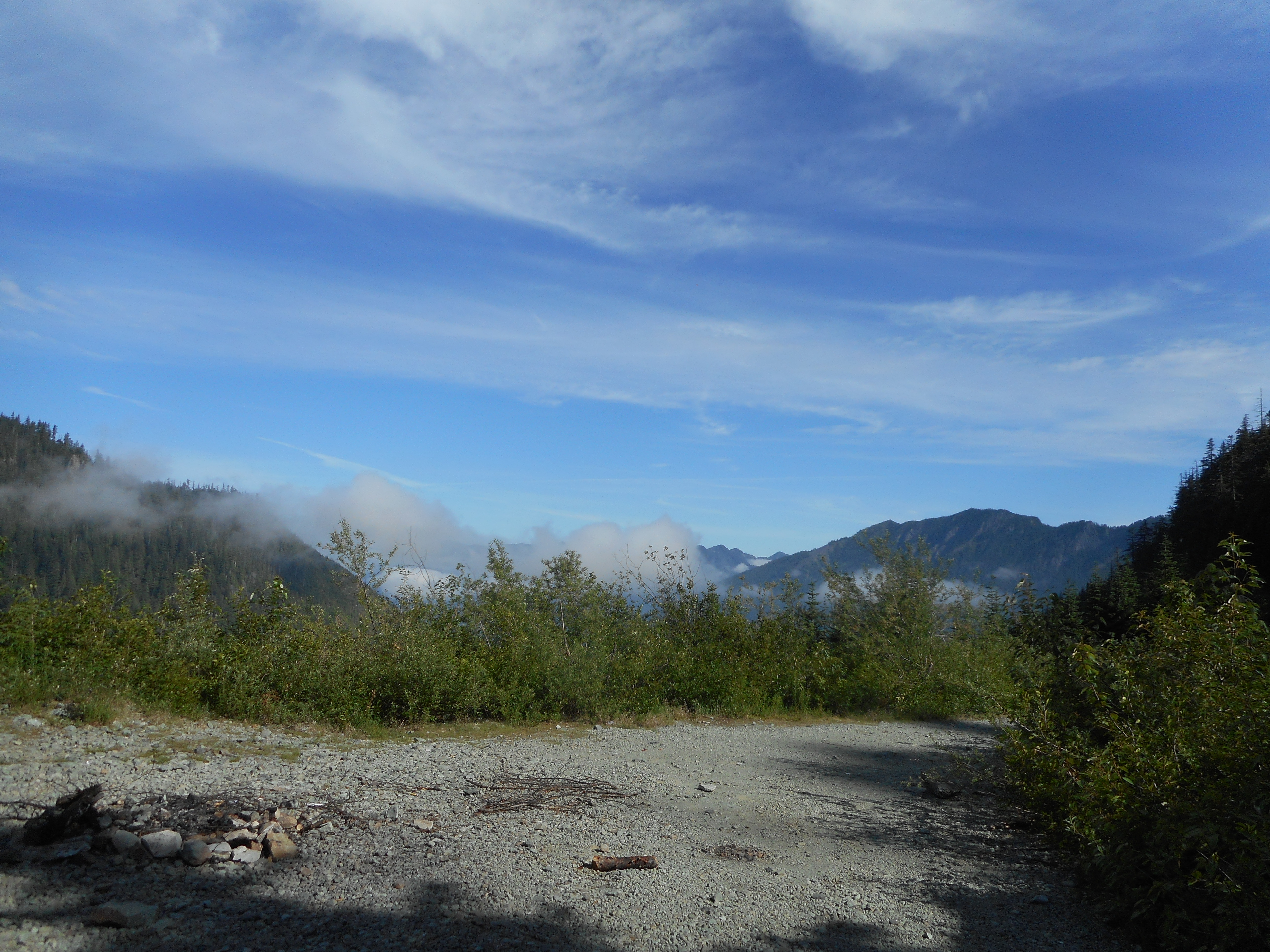
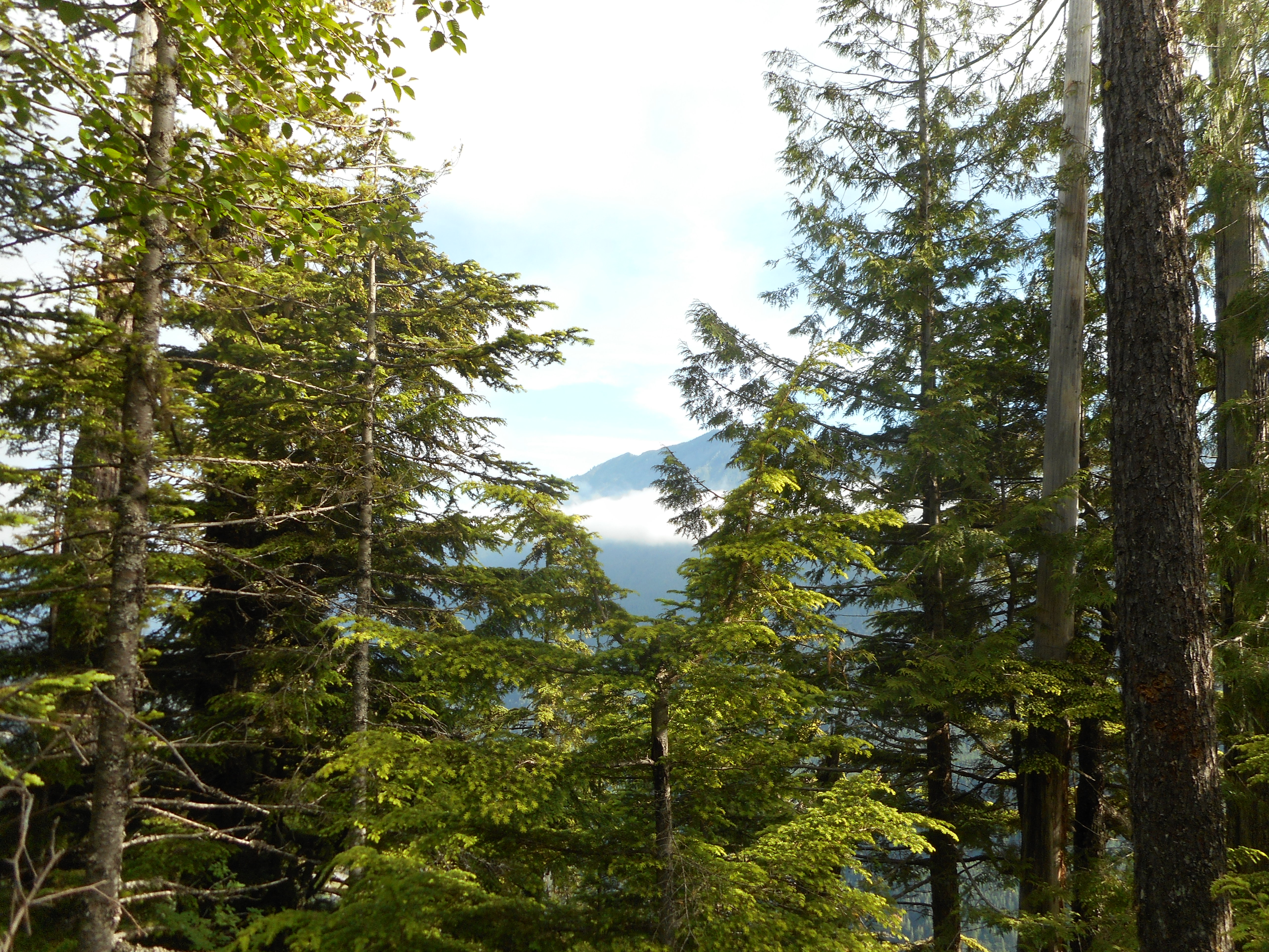
The views up there are nice:
About the only useful thing I can say is that there is still some snow up there. Clearly, the west side of the McClellan Butte trail is still covered in snow, and the route up there looks fairly rugged – but hopefully, doable.
The track:
https://adventures.garmin.com/en-US/by/djhiker/nf110#.WVvwwlGQypo
6.2 miles, just short of 2K elevation.