Our goal was to use our Garmin eTrex 20 to map Rattlesnake Mountain. Alas, between the two of us we did not have the foresight to bring extra batteries so when it died, the mapping function did as well. We had to settle for following our progress on the Green Map we brought.

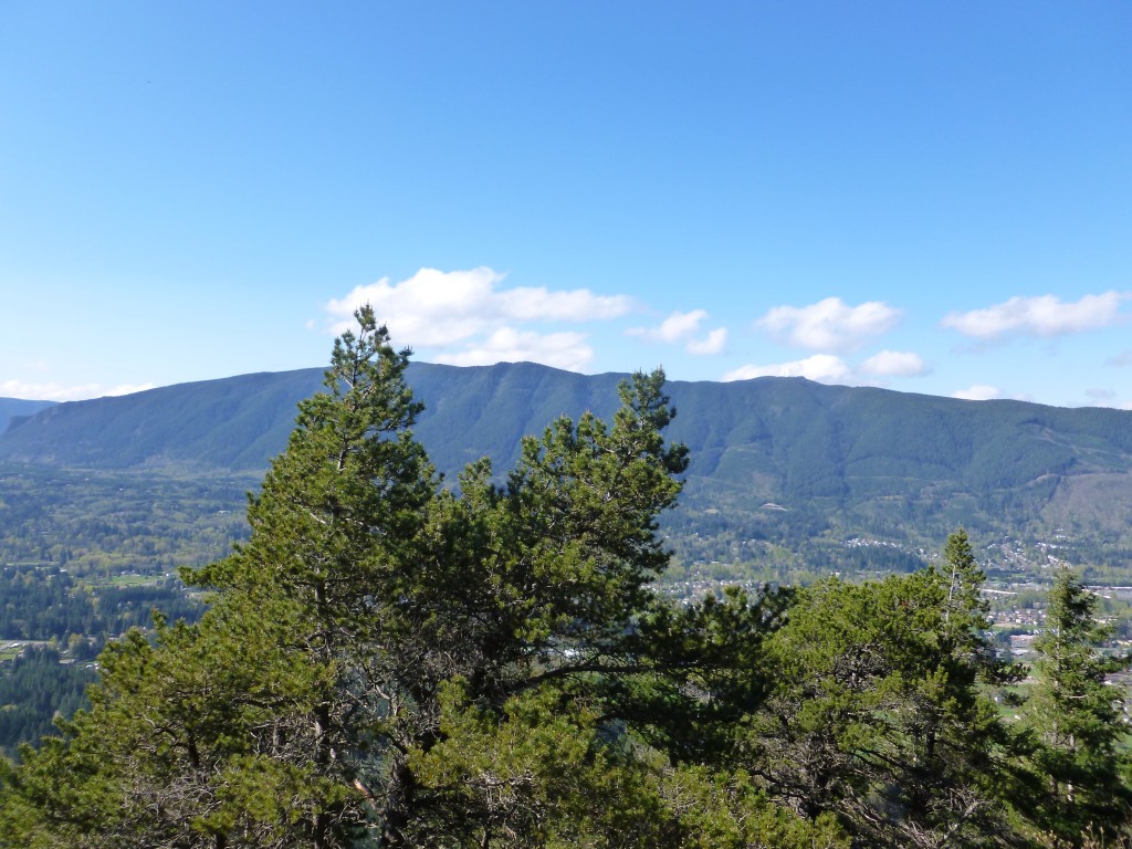
That’s what the mountain looks like from the other side of the freeway, and on a nice, sunny day. Yesterday – not so much.
We were absolutely drenched, harking back to our very first hikes and to our first hike across Rattlesnake. Rain ended eventually, as did the high winds (power at our house out most of yesterday and last night, with Cam and Fin over we had an adventurous evening) and we eventually found ourselves back in civilization.
A nice hike, physically just what I needed after so little hiking following the July 4 calf blow-out.

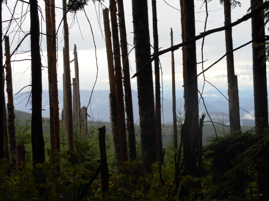
The wind storm yesterday was very un-August-like and gave us a few anxious moments, particularly when we passed by some trees that looked like they were saving up their final fall for the moment when hated humans were passing beneath on the trail.
Next weekend is a long weekend and we expect to do some kind of hike, probably on Labor Day. I am thinking of an afternoon Mt. Wa conditioning hike during the week but I will have to play that by ear.