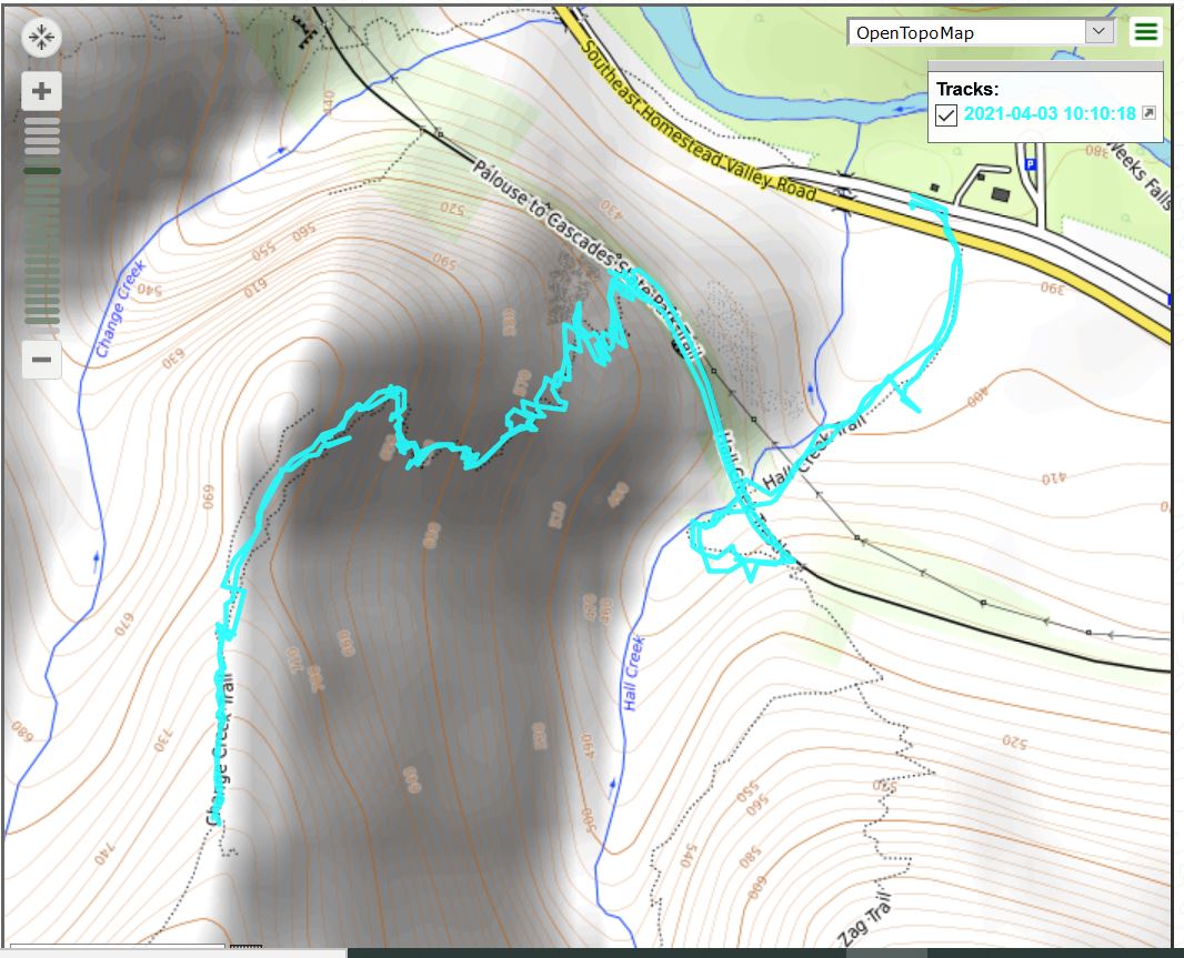
No Derek today. He had an unexpected work obligation so I skipped Stegosaurus Butte and explored the Change Creek Trail, up to the Hall Point junction. I read a trip report from Wednesday that said the trail was navigable up to Hall Point – unlike Zig Zag, just across Hall Creek, go figure – so I checked it out. And except for a couple of very short stretches, it was snow-free.
However, the snow from the trail up to Hall Point looked pretty deep so I turned around right there. No problem, hike was about 3 miles and very steep (1400 feet of gain in a one mile stretch) so it was a good workout.
As always I love being out there in the forest.
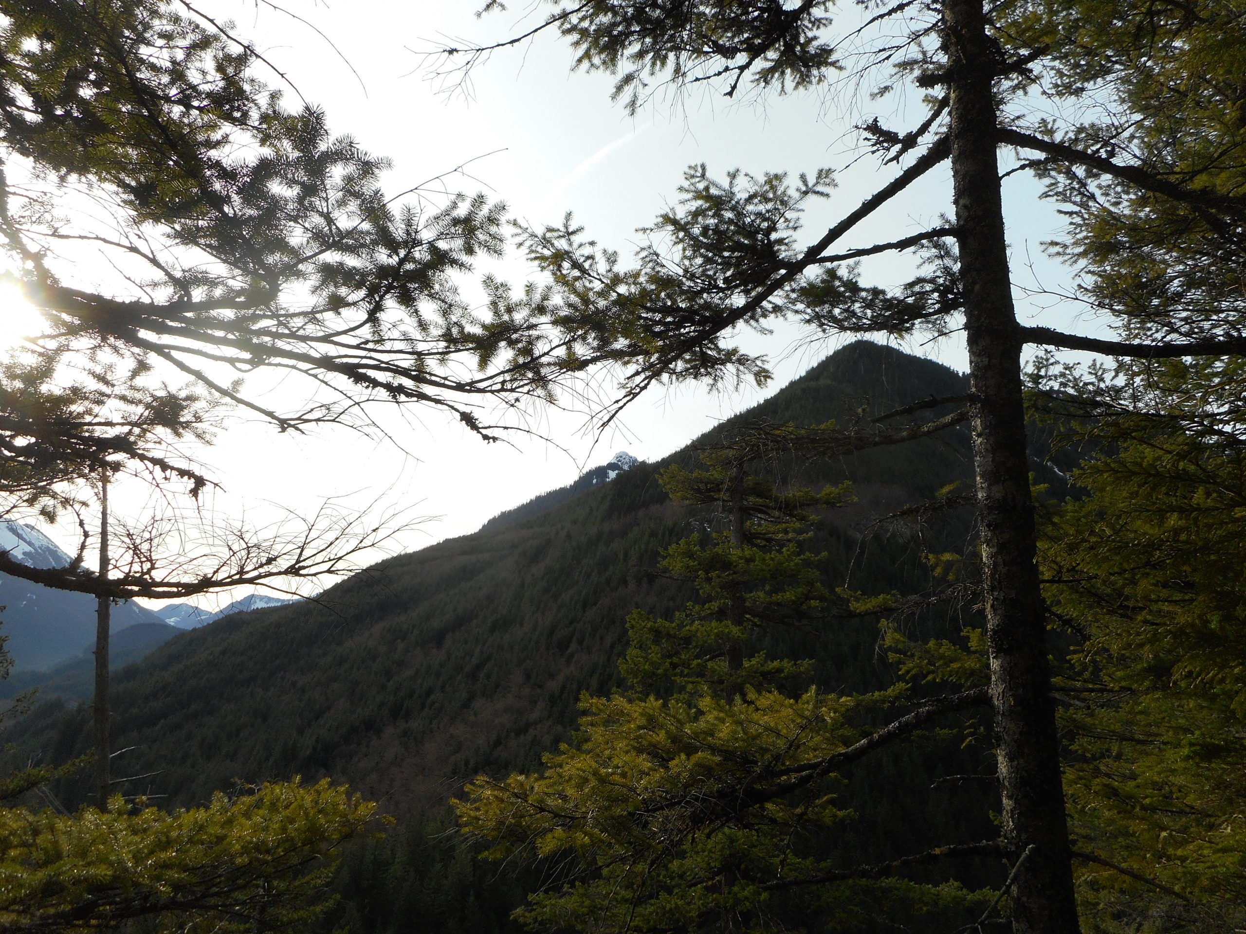
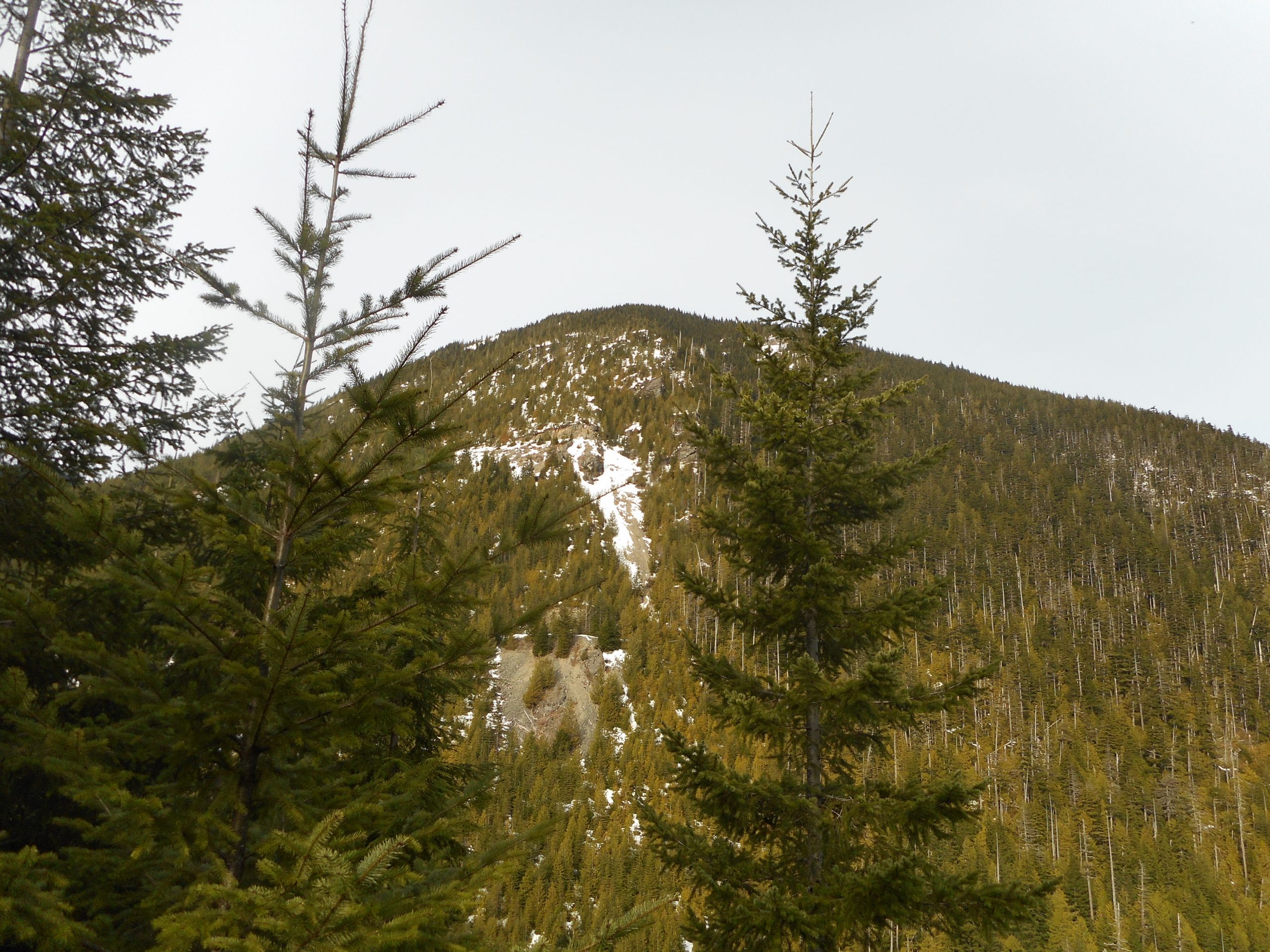
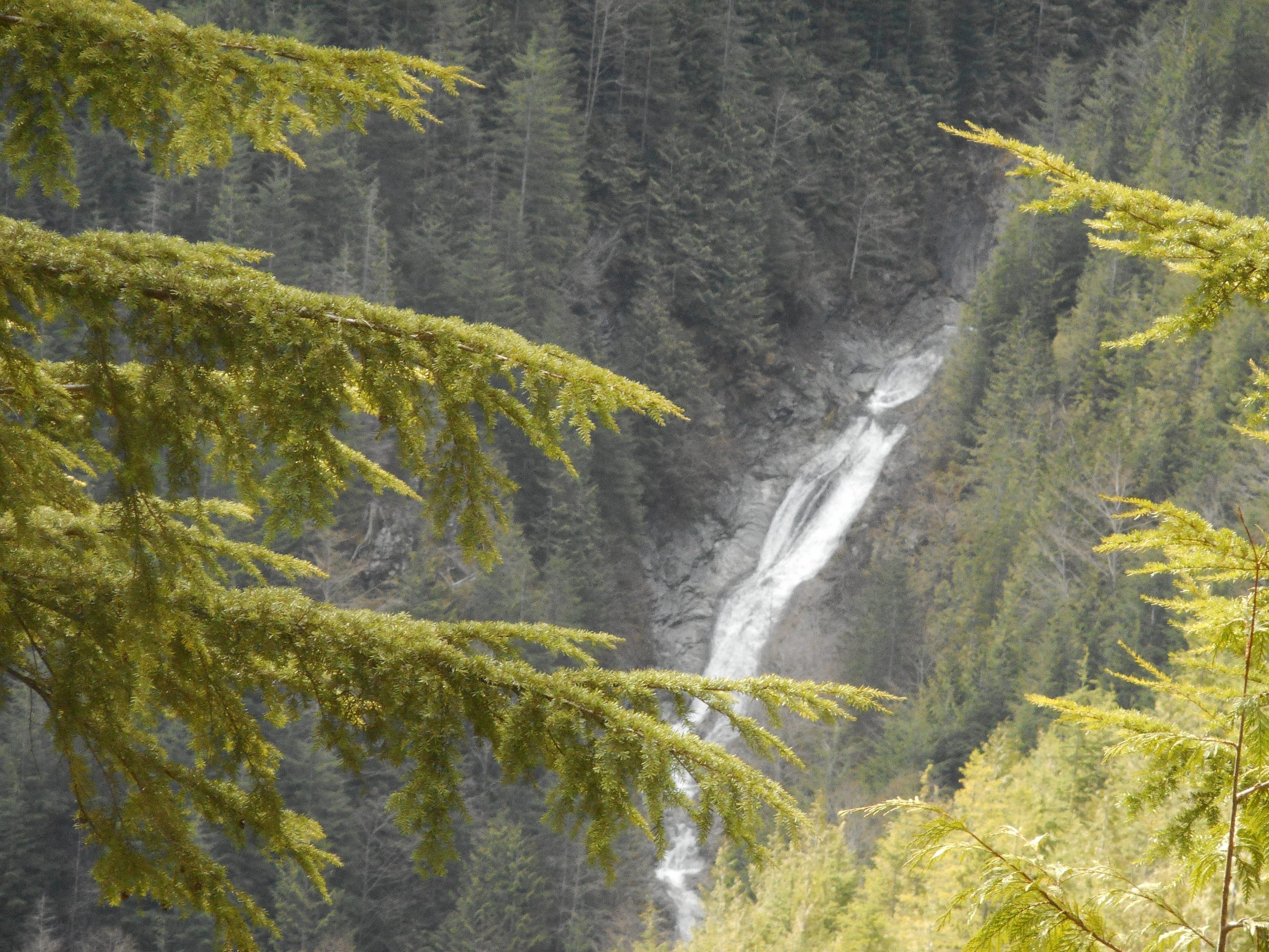
Change PeakHall Creek FallsLooking Towards Truck Summit
On Tuesday, by chance, I noticed a new WTA (Washington Trails Association) trip report for a hike I have looked at doing called Stegosaurus Butte. It is about 2 miles up and down but ultra-steep, at least according to the sources I have consulted.
I thought perhaps Derek and I could tackle it on Saturday. But I was not sure about how to get to the trail head, or exactly how to find the trail, since the Stegosaurus Butte trail is strictly unofficial, with no sign marking it.
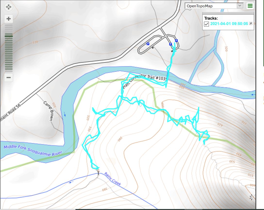
Anyway, I got off at Exit 34 (a popular exit for hikers and for semi-trucks because of the huge truck stop just off the I-90 freeway) and drove way past the popular Mailbox Peak trail head, past the trail I have hiked a few times to Thompson Lake or Granite Lakes, past a few other trail heads to the one I was looking for.
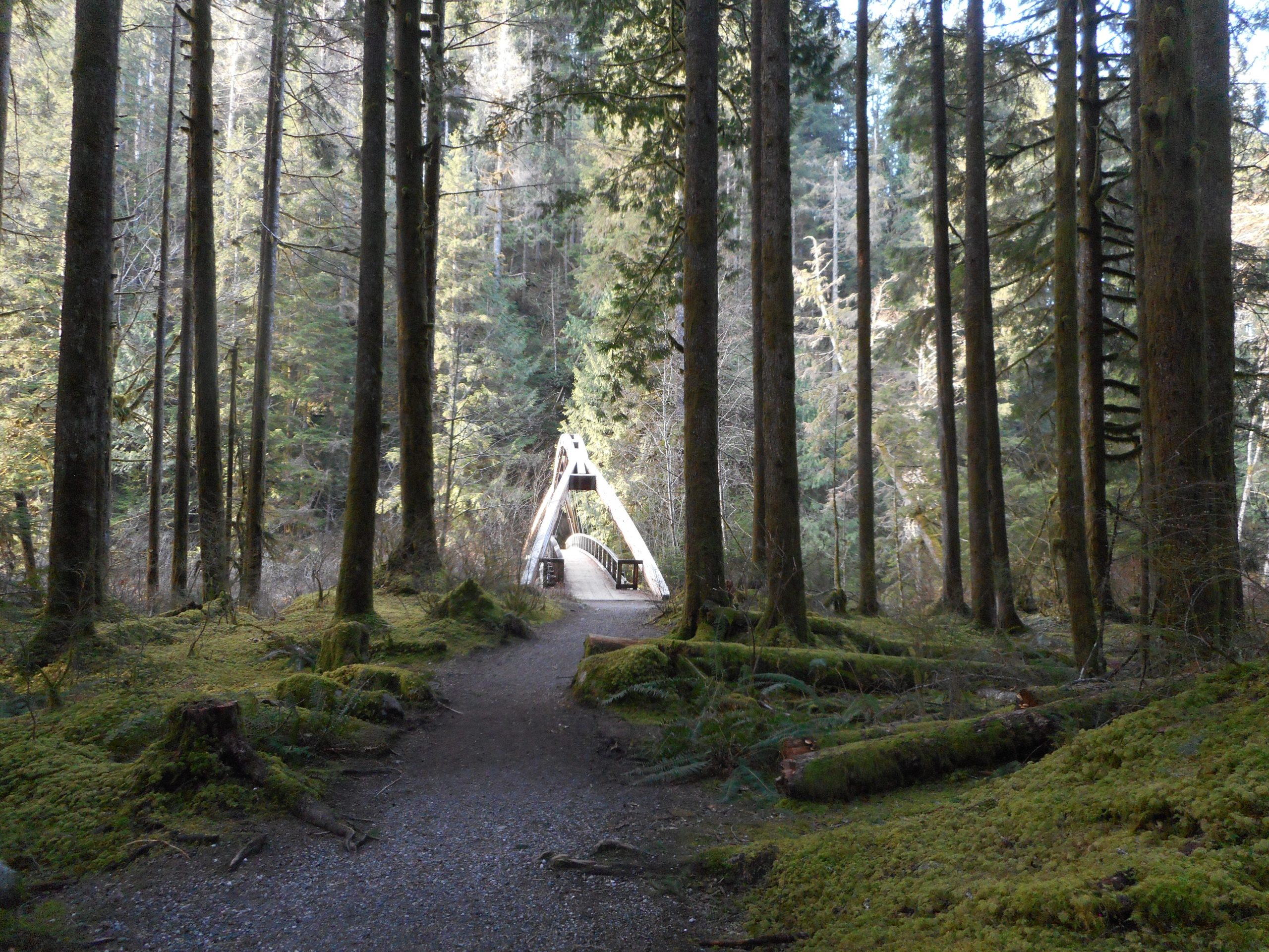
There was an obvious place to start and a very cool little bridge to cross:
Bridge over Middle Fork Snoqualmie River
There is a very long trail just across the bridge but you cannot go left these days, nor for the next year, as that portion of the trail is closed for renovation and to clear out the damage from a slide.
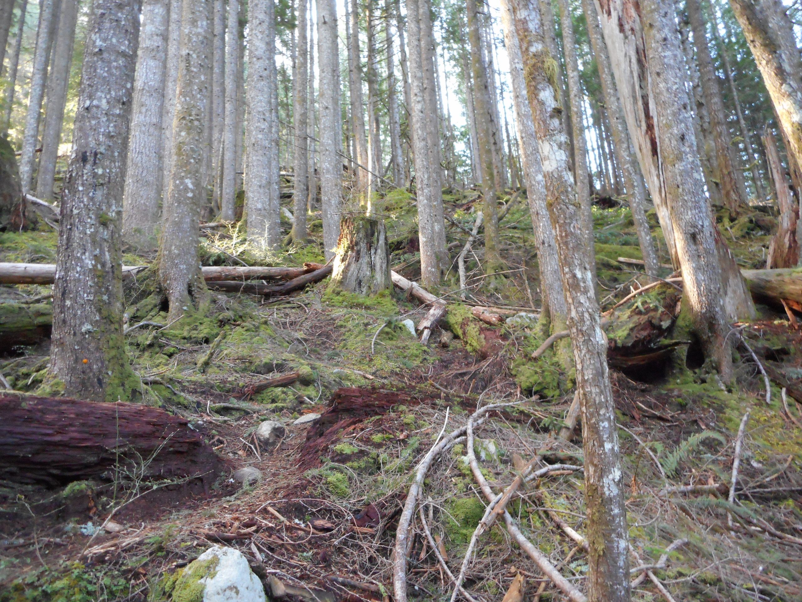
But that was fine with me, my route took me to the right, down the Pratt River Trail. Maybe .25 mile along that trail I noticed a faint boot path heading up and I pulled out my Gaia app and verified that that was the Stegosaurus Butte Trail and I started up.
And it is definitely up, up, up! And the trail (see above) more or less disappears a few times. I had to check Gaia a couple of times to make sure I was on track. About 1/3 of the way up (see track below) I turned around. I had found the trail and explored it far enough to figure out what to do.
I figured that, solo, it might be a tad on the dicey side coming down such a steep, rocky, rooty trail. Better to wait until I am with Derek, so if something happens there is a possibility of rescue.
On the way back down I decided to check out the Pratt River Trail and it is a nice one. It is totally suitable for people who can walk but are not used to going up steeply. It is a gentle up and down through the forest, never far from the river – just a great walk.
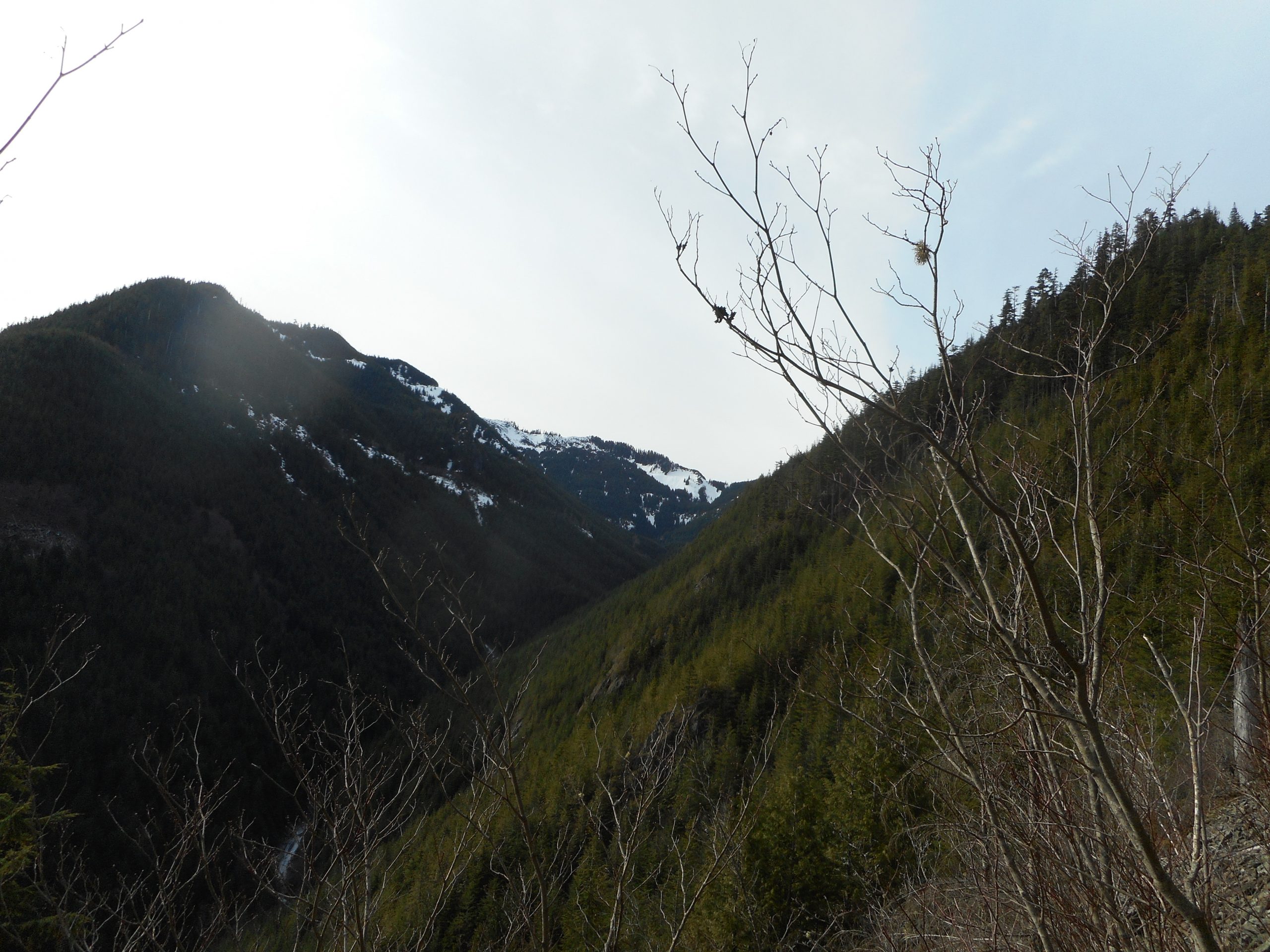
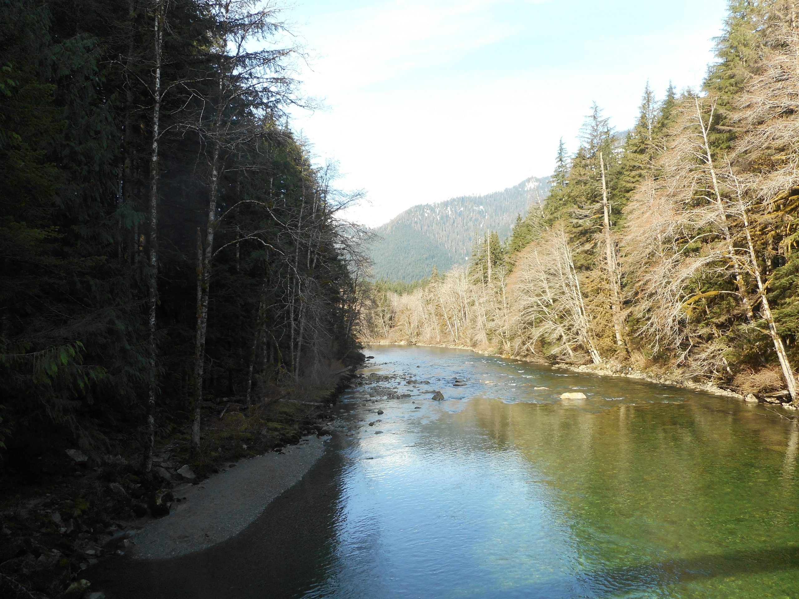
Here is the view from the bridge:
River and Mountains
And here is the track. If Derek agrees, we will be back on Saturday to see about the views from the top of the Butte.