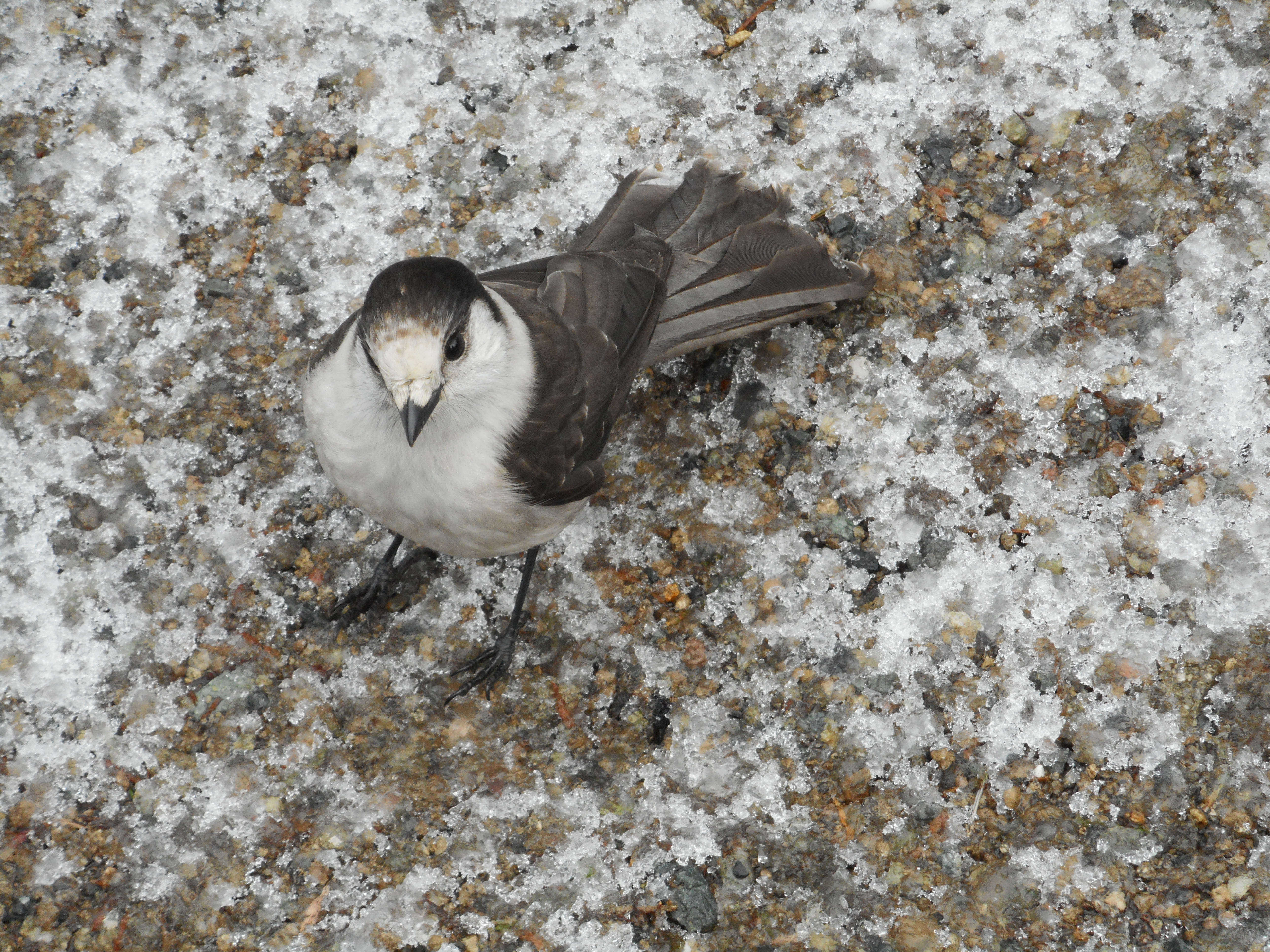
We stopped for a snack at one of the summits (we hit Tiger Mountain #2 and #3 today) and shared our nut bars with some feathered friends. Anyone out there know what kind of bird this is? They are accustomed to being treated royally by humans and, obviously, get right up next to you.
We had some ambitious ideas about what hike to do today, but the fact that at least one trail head was unreachable because of fallen trees, and that two feet of new snow had fallen up that way last night made us think a bit more conservatively.
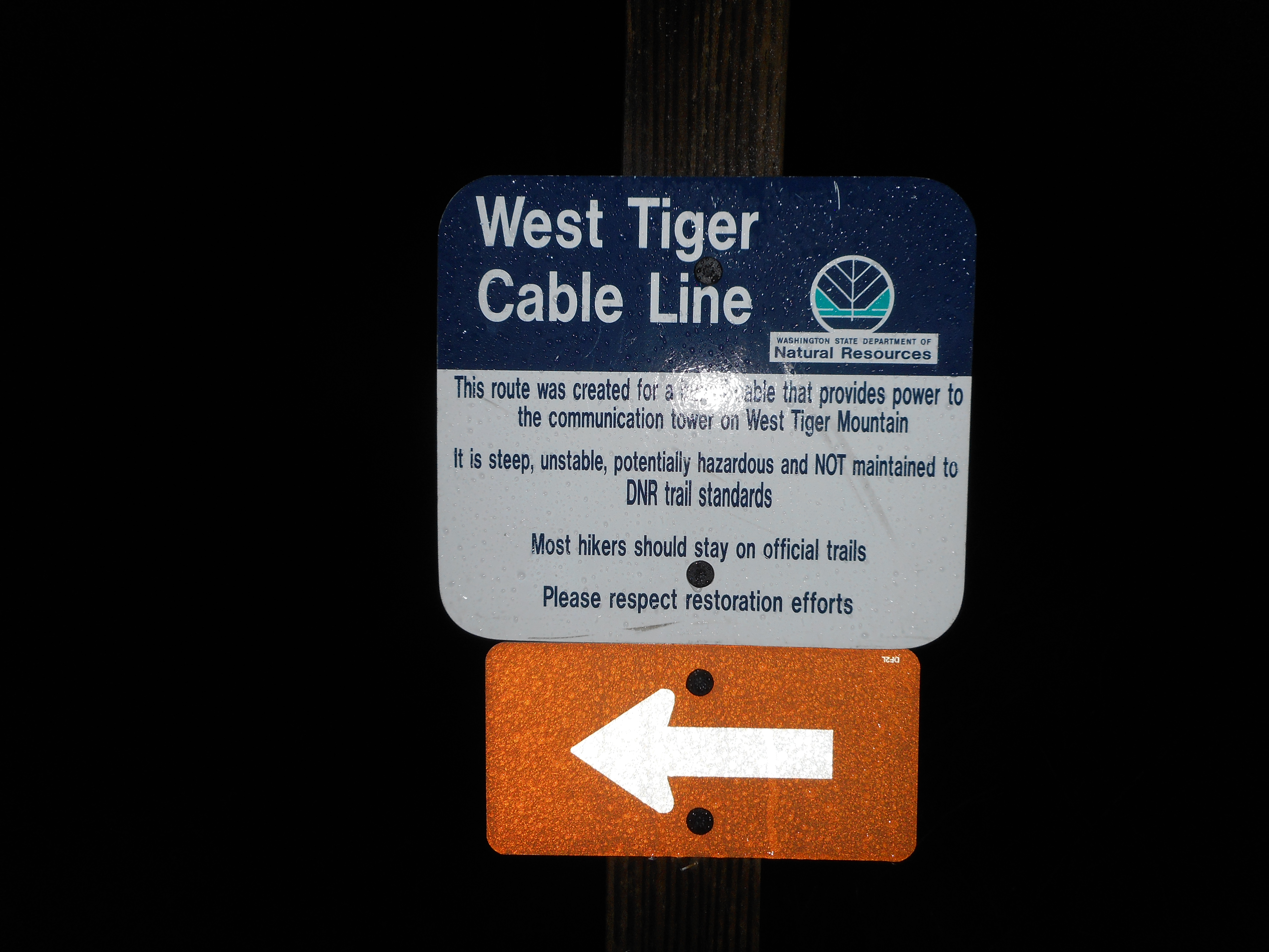
So we went to Tiger Mountain and started up the Cable Line trail again:
Derek and I could testify in court that, yes, it is steep and muddy and rocky and all that, but mostly lots of fun. Today not so much for me as I was suffering from stomach cramps and nausea, which wore me out rather quickly.
Nevertheless, we didn’t slack today, about 5.9 miles, 3,300 feet of elevation gain, in about 3.5 hours. Much of it was steep – one short section, according to our Garmin (right about the .3 mile mark) had a grade of 48%.
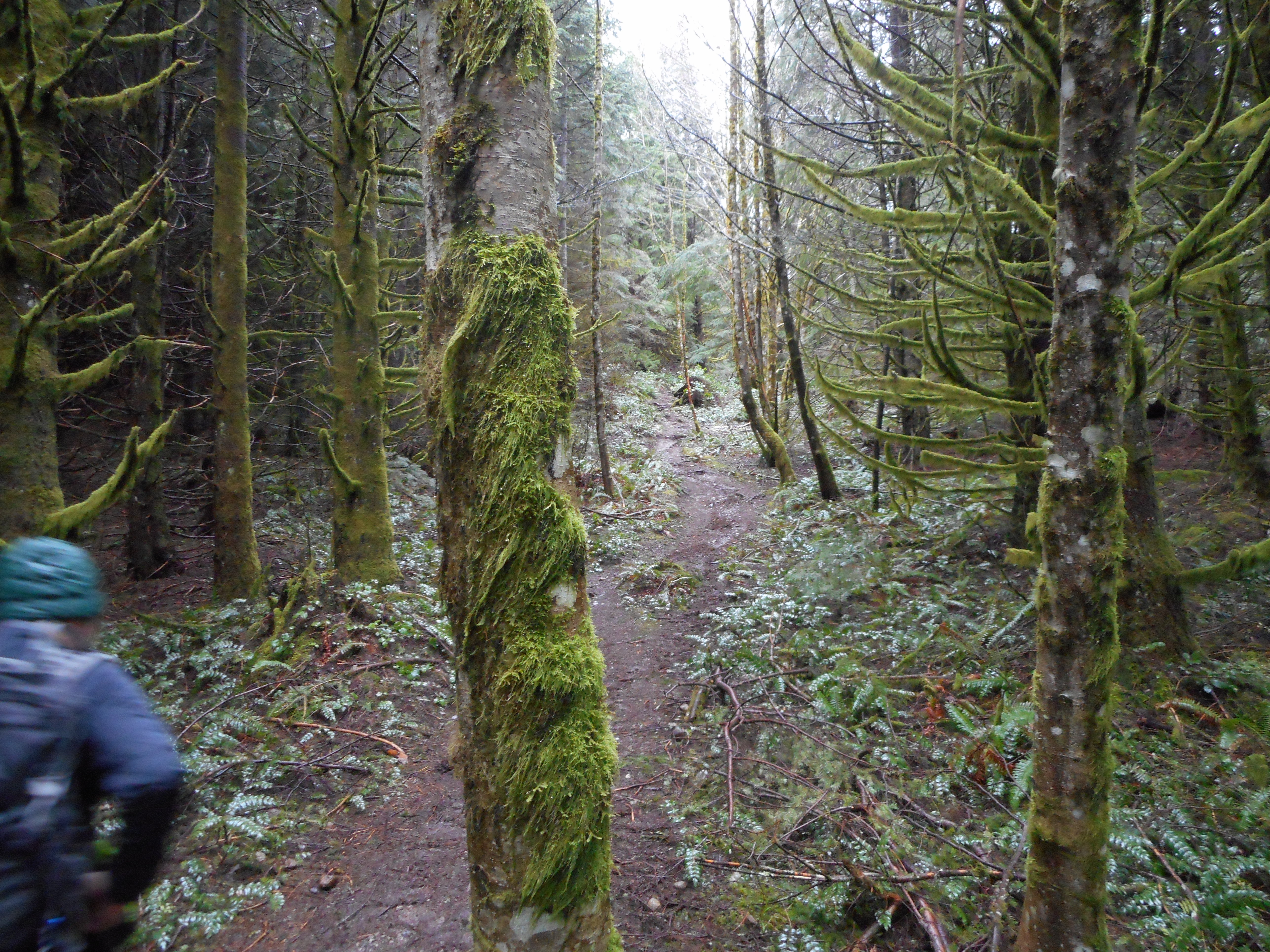
Much of the trail on Tiger is Cadillac quality:
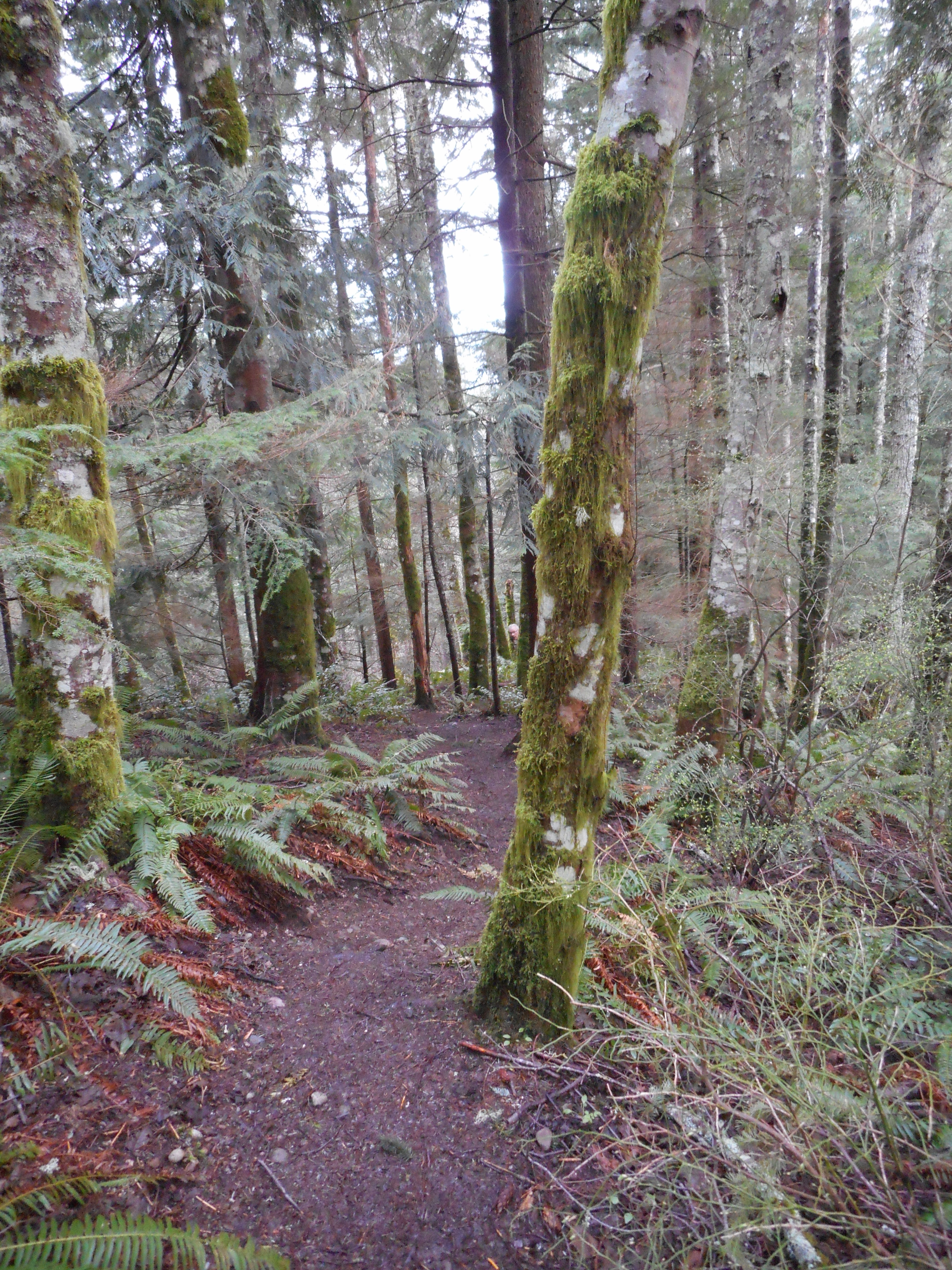
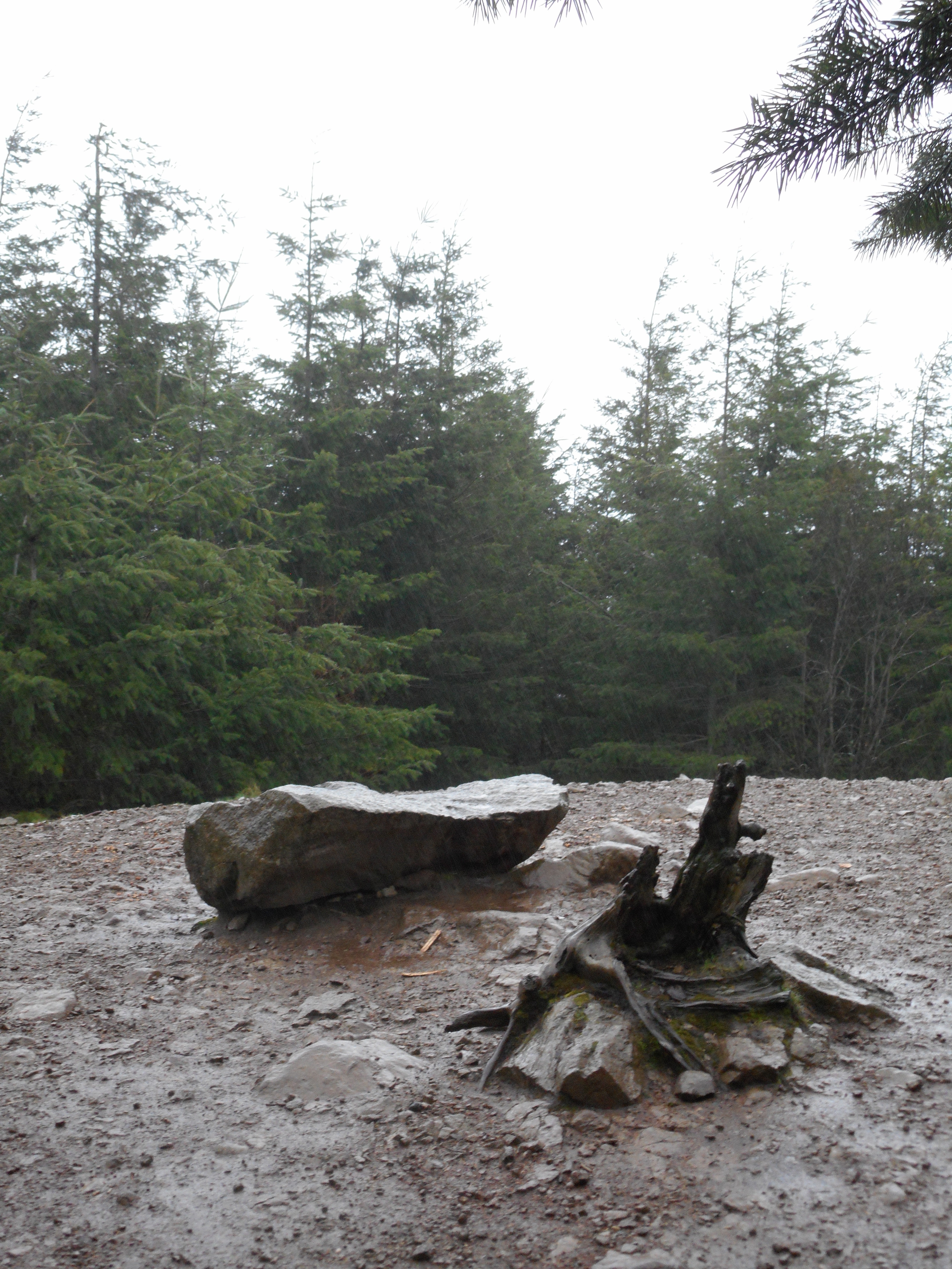
Interesting scene at (I think) Tiger 2:
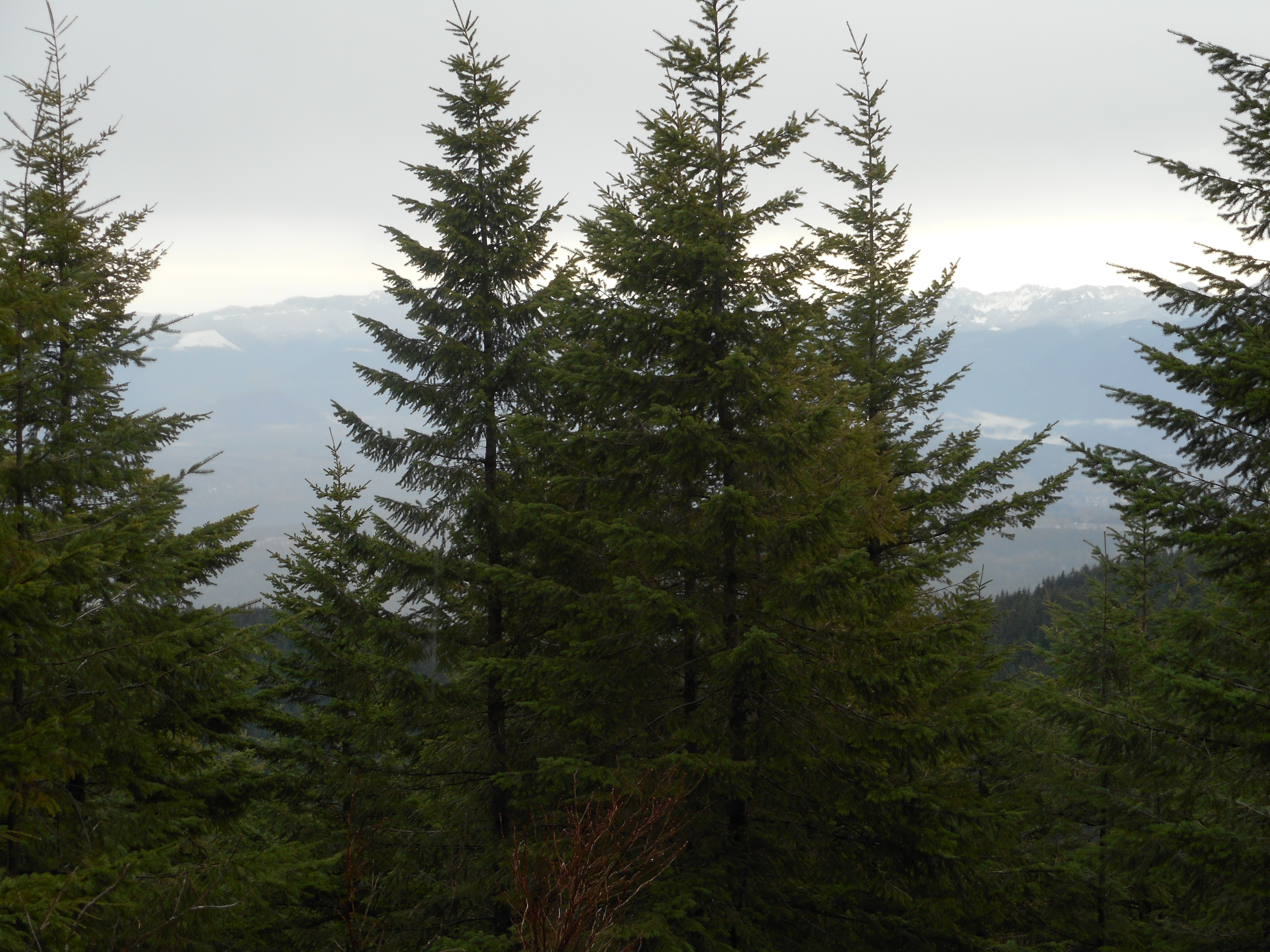
And, as always around here, there are enormous views:
Here is a visualization of the hike:
http://adventures.garmin.com/en-US/by/djhiker/tiger-mountain-cable-lline-and-more/#.VuB7zJXlupo
Camden and Finley are visiting us Friday night through Saturday afternoon and Jan and I are looking forward to that. Derek and I discussed the possibility of doing a little exploratory hike with Fin on Sunday to investigate the new mountain bike-oriented trail they are making that will connect Cedar Butte, which is a mile east of Rattlesnake Lake, with McClellan Butte, about 7.5 miles east of Cedar Butte. I have read a trip report from a veteran of that area and he found the new trail and made a little map.
So, schedules and weather permitting, we will give that a try on Sunday. If Fin and Derek can’t make it I might check it out myself.
Update 3/14/2016: I think I stumbled across the name of the birds up on the summit – Robber Jays, aka Gray Jays:
https://en.wikipedia.org/wiki/Gray_jay