(click on any photo to enlarge and use the ‘back’ button to return)
I would at least entertain the possibility that I overdid it just a little bit today, but it wasn’t all my fault.
Derek is on call this weekend so I wanted to plan a solo hike. I needed a hike with a trail on which I couldn’t get lost, and I wanted to train for the next hike we have planned (a steep one, McClellan Butte next Thursday, the 23rd) so what the heck.
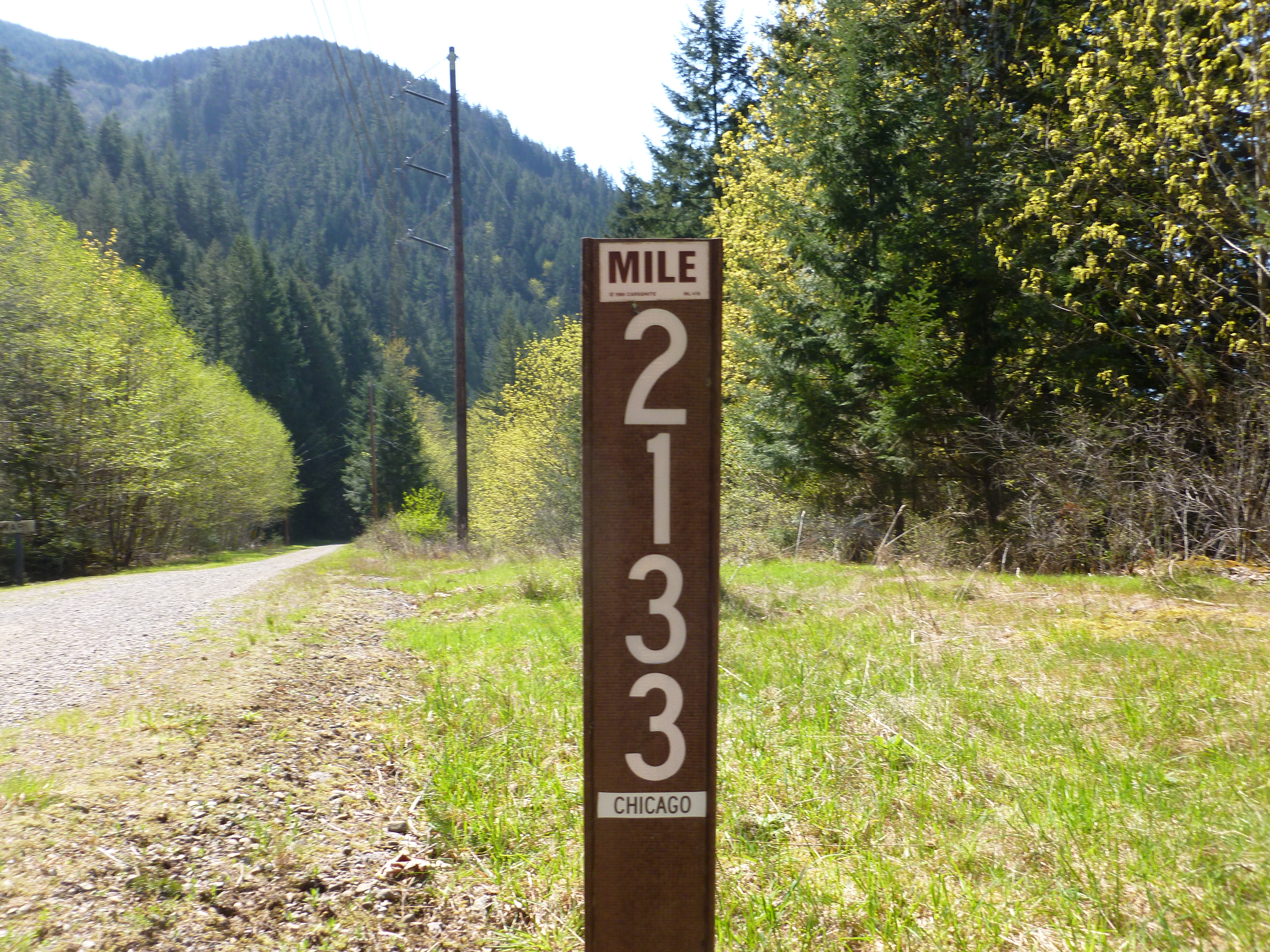
I parked near Rattlesnake Lake, which is supposed to be about a 5 mile hike down the Iron Horse Trail to the Mt. Washington trailhead. Iron Horse is the former route of the Chicago-Milwaukee-St. Paul-Pacific railroad, and dead flat for many miles. It is a sub-trail of the John Wayne trail – a trail that is far longer than The Duke’s military service.
Anyway, I hiked Mt. Washington a few weeks ago with Derek and we did it the normal way, parking near the trailhead and walking down Iron Horse from west to east maybe 100 yards to the second little trail on the left.
Derek knew what he was looking for and it was easy. Alas, this morning, walking from east to west I missed the little trailhead and went an extra mile before I realized I was a dunderhead.
So what I planned as 10 miles round trip on Iron Horse plus 8 miles up and down Mt. Washington wound up being 12 miles on Iron Horse plus Mt. Washington for a total hike today of 20 miles.
It actually wasn’t that bad and I am raring to go for Thursday’s challenge.
From the Mt. Washington trailhead to the top was 2:15 minutes, an hour faster than Derek and I did it before. I have learned the lesson of walking slowly when it gets steep, just trudge along, get into a Zen-like state of one foot after the other. It wasn’t so bad, 4 hours and 10 minutes round trip.
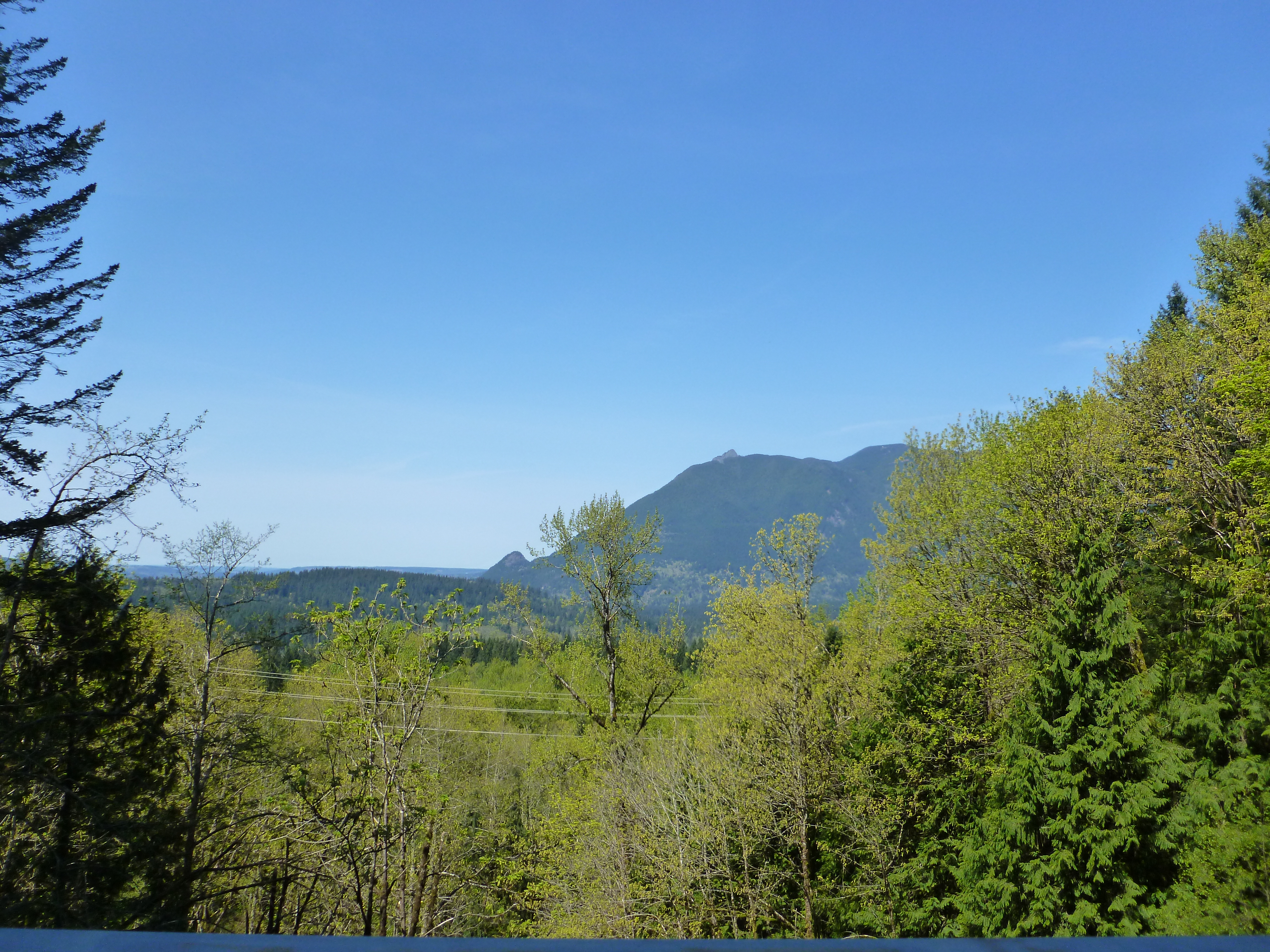
Just hiking along Iron Horse is nice. It is dead level, but about 1100 feet elevation, with a north view (your left as you walk towards Mt. Washington) that is beautiful. For example, check out this perspective on the previously hiked and blogged Mt. Si and Little Si:
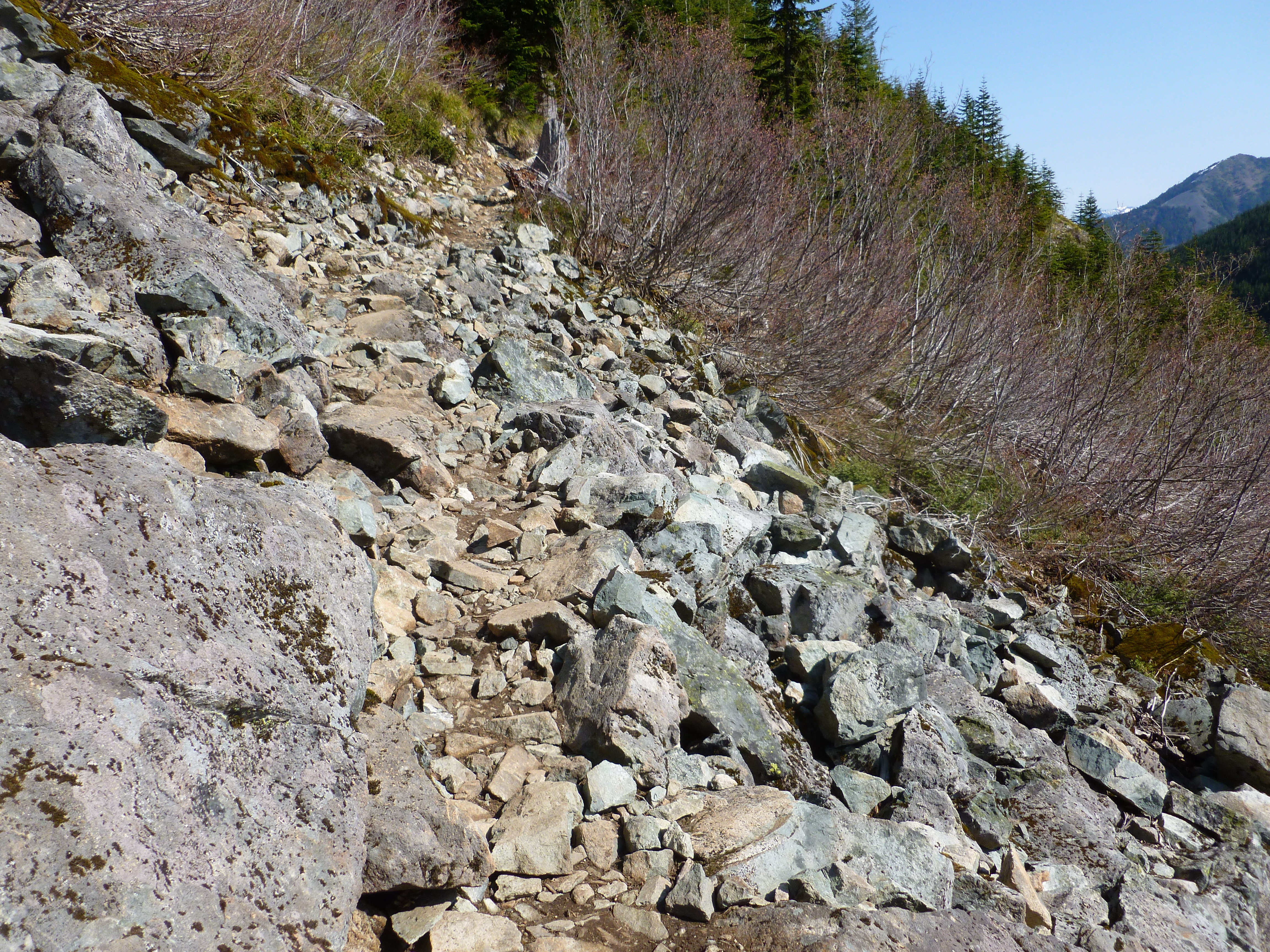
There are some tough sections of the trail on the way up:
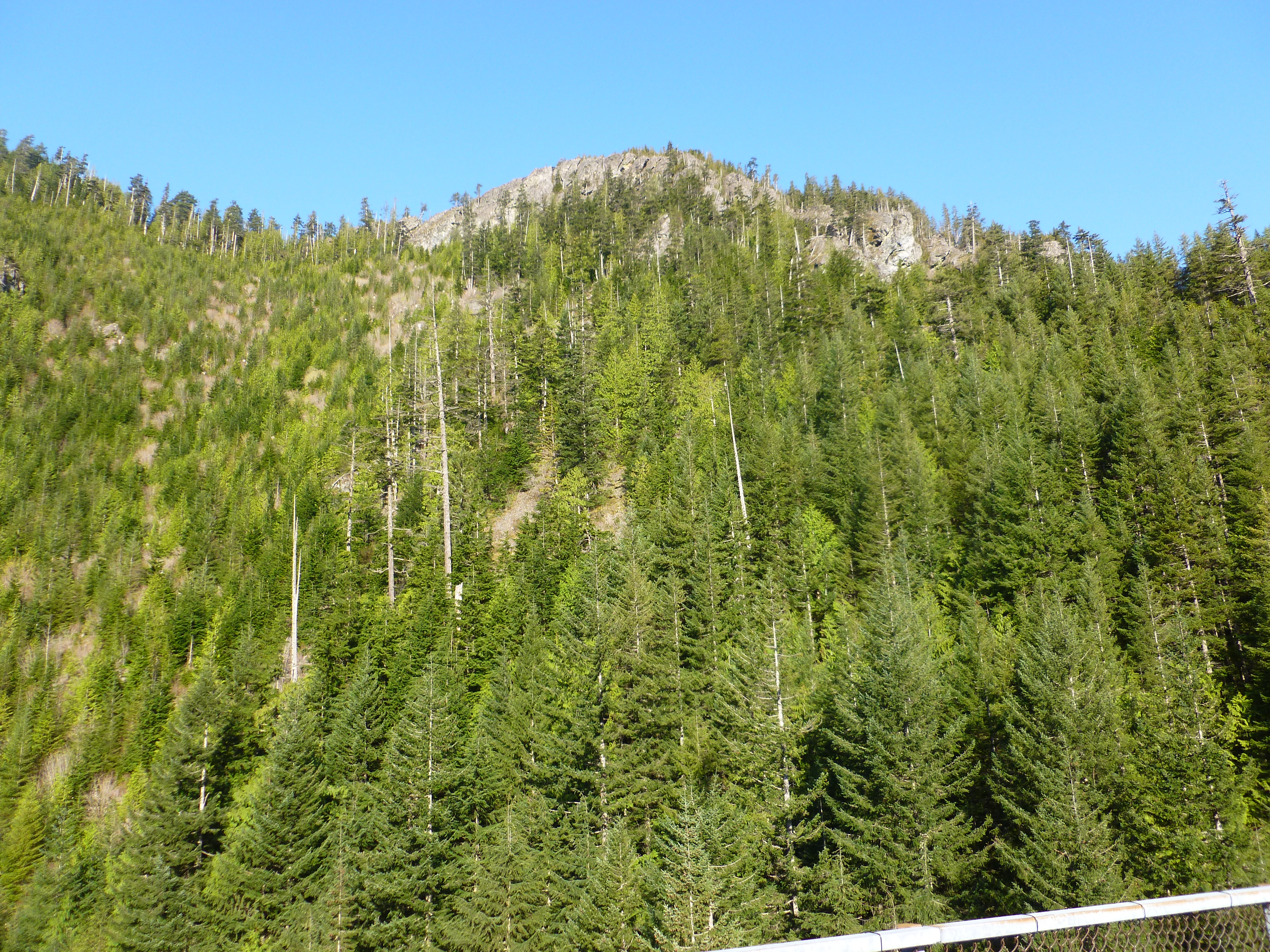
Things are also looking very good about halfway up:
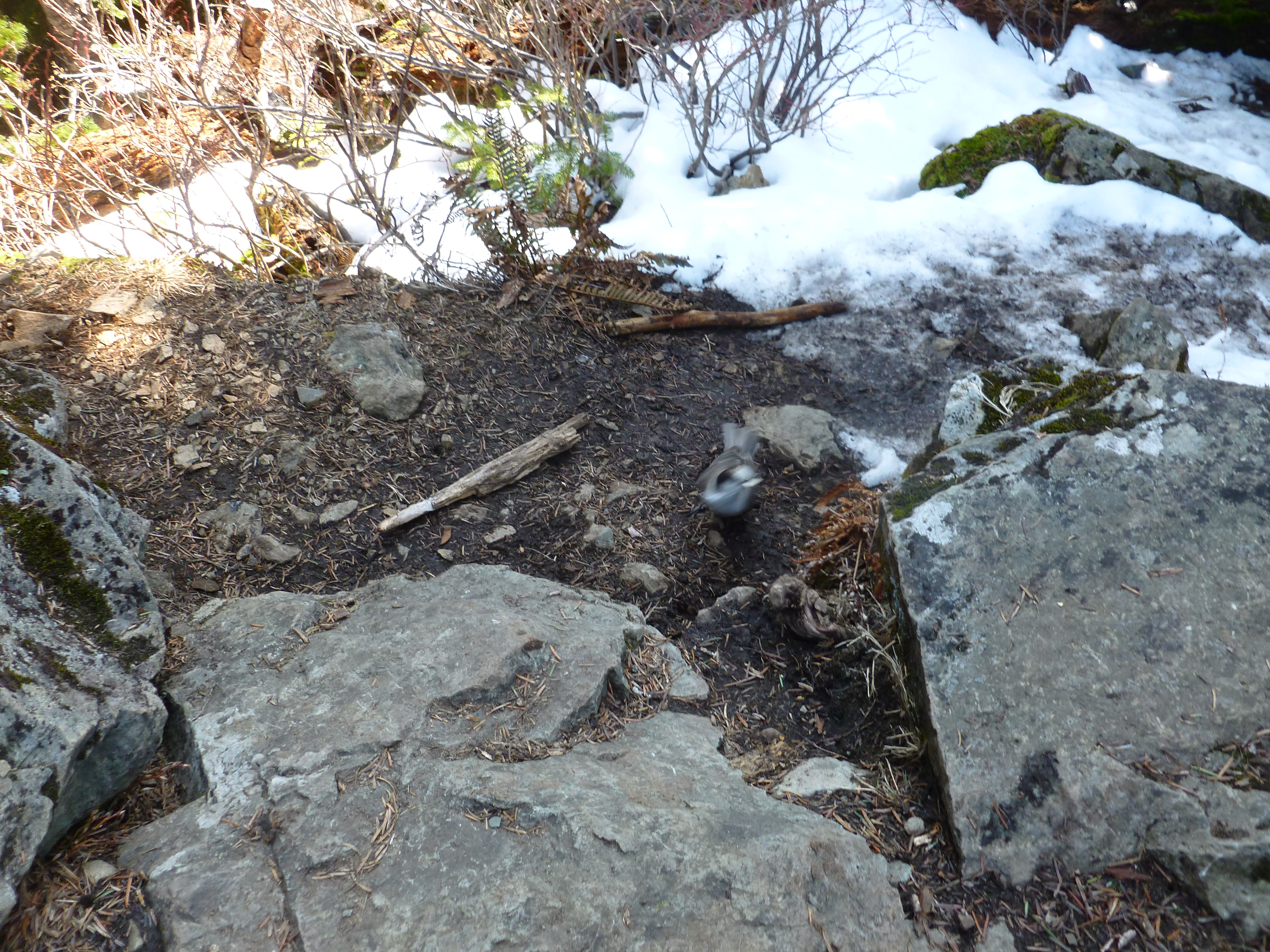
I had a couple of friends at the very top, two birds I tried to photograph as they ate the bread I shared (they have been fed before and know the drill). They were pretty quick and hard to photograph with our less-than-professional camera:
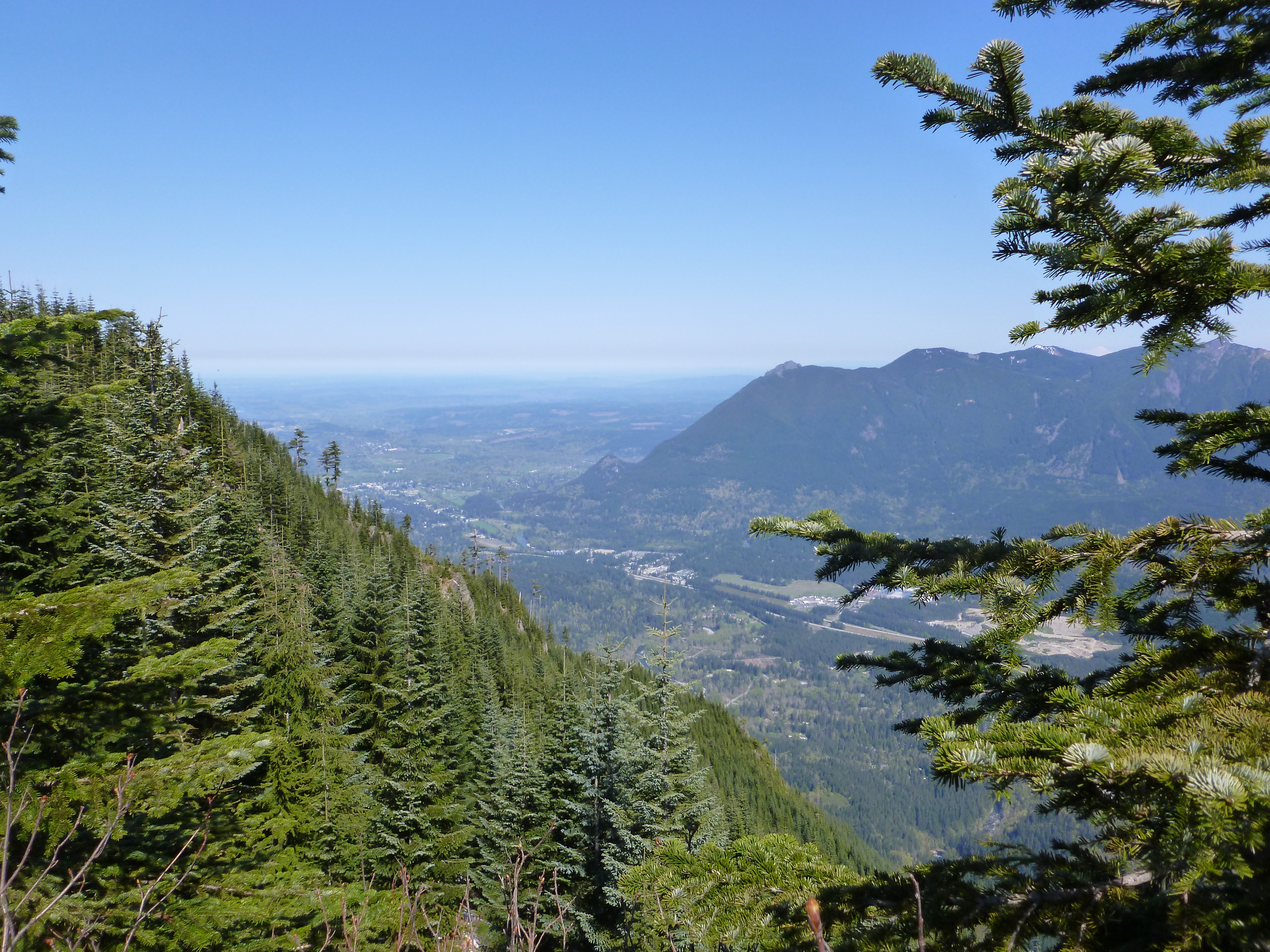
Here is the view from the toppermost-of-the-poppermost:
And here are a couple of nice views from just below the summit, where the view is less constricted:
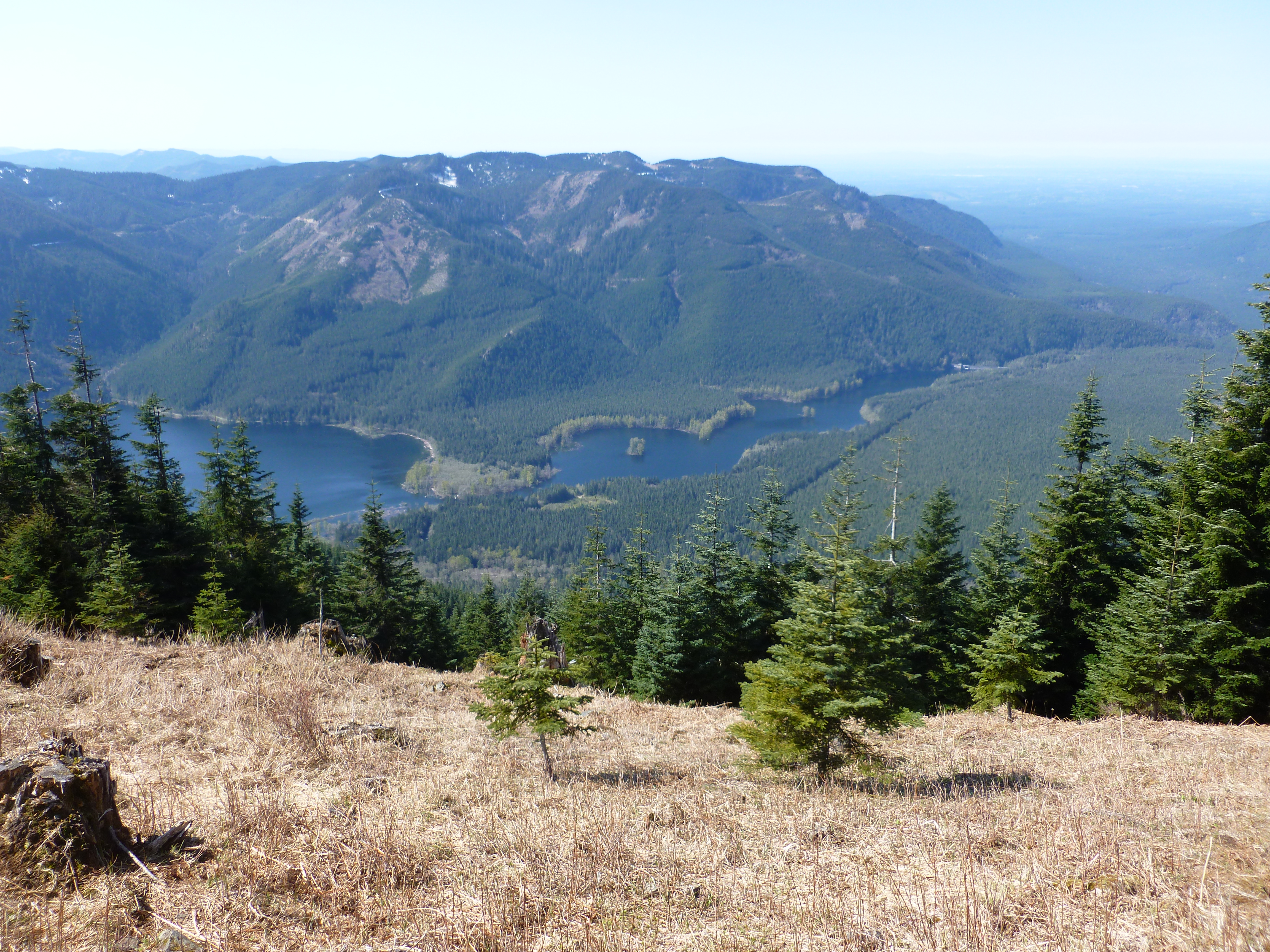
And:
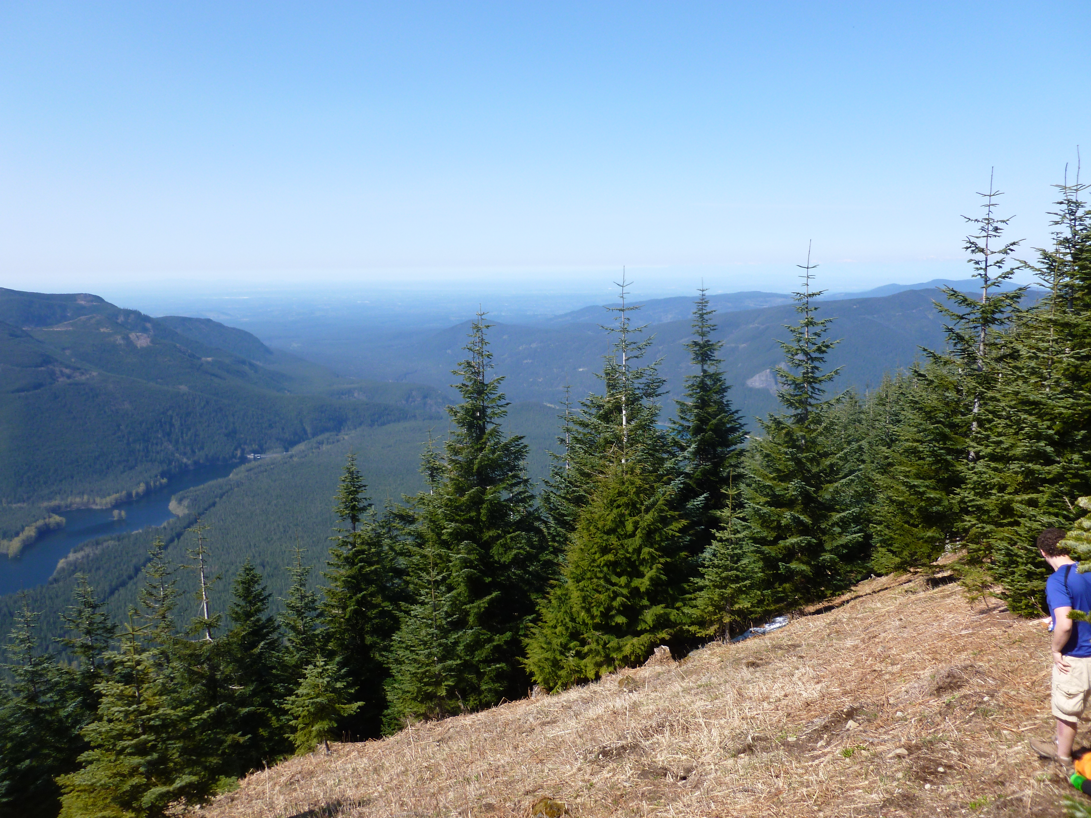
What is the difference between a ‘beautiful’ view and an ‘amazing’ view? – you tell me.
I made it back to the car about 8 hours after I pushed off and immediately fell back to earth. The Rattlesnake Lake area is popular to put it mildly. For a mile or more there were cars parked bumper-to-bumper just off both lanes of the narrow two-lane highway, with people hiking on the road. It took me 15 minutes in the car to go about a mile, which is my pace on Iron Horse.
Then, the freeway back home was gridlocked thanks to some construction and concomitant lane closures.
Oh, well. These hikes are wonderful mini-vacations from modern life and every moment is precious.
And those mileage-to-Chicago signs are a reminder of just how far Jan and I have traveled from home.